Frühwärts - Pfarrkirche hl. Ägyd - Kapelle Dietweis - Stadtpfarrkirche Mariae Himmelfahrt
medio
Consigue este tour en tu móvil
Frühwärts - Pfarrkirche hl. Ägyd - Kapelle Dietweis - Stadtpfarrkirche Mariae Himmelfahrt
medio
Ciclismo de carrera
43,18
km
Escanee el código QR e inicie la navegación en la aplicación bergfex

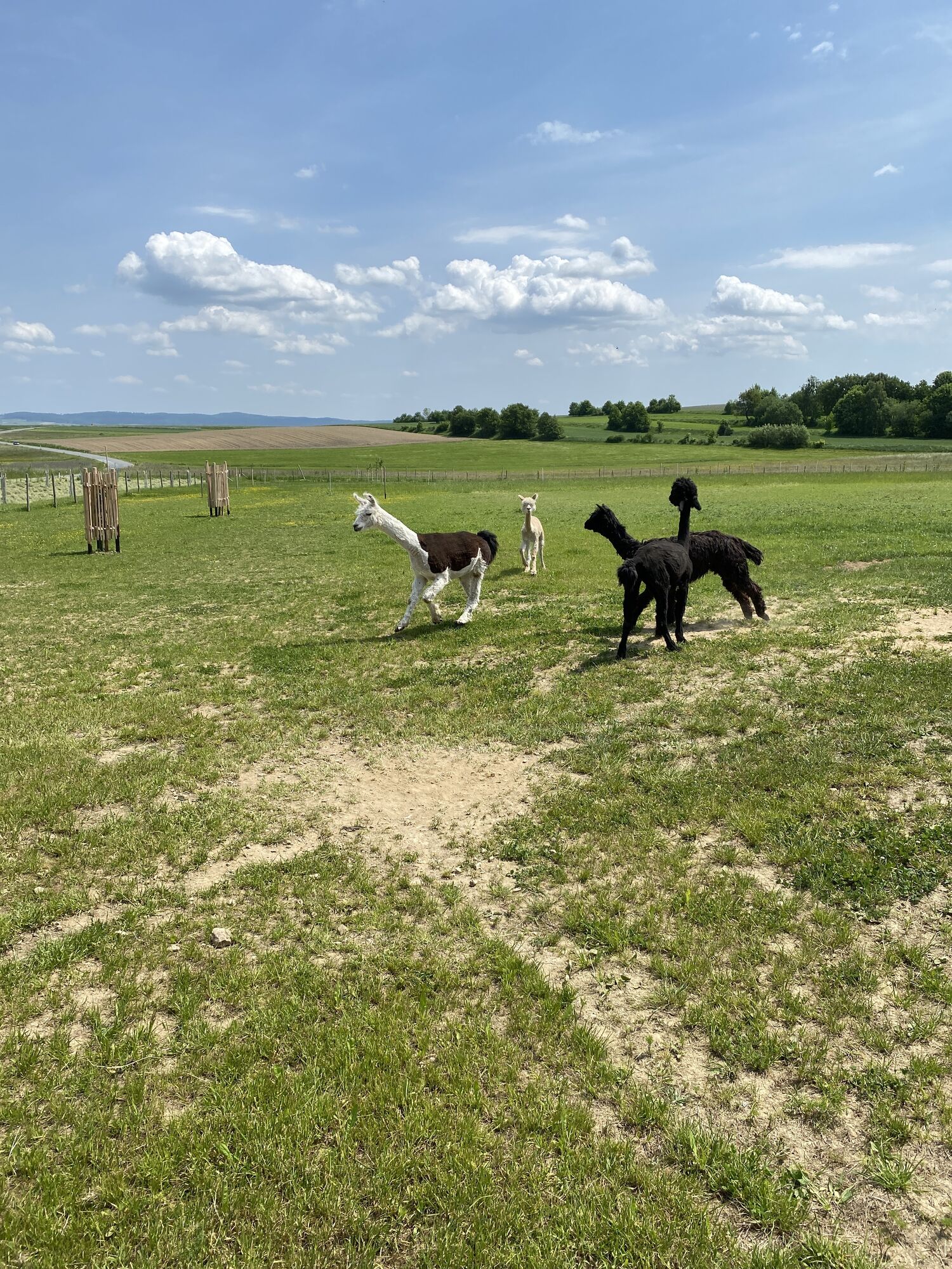
Senderismo y rastreo


Frühwärts - Pfarrkirche hl. Ägyd - Kapelle Dietweis - Stadtpfarrkirche Mariae Himmelfahrt
medio
Distancia
43,18
km
Duración
02:14
h
Ascenso
472
m
Nivel del mar
465 -
626
m
Descarga de pistas
Frühwärts - Pfarrkirche hl. Ägyd - Kapelle Dietweis - Stadtpfarrkirche Mariae Himmelfahrt
medio
Ciclismo de carrera
43,18
km
Ruta
Frühwärts
(478 m)
Pueblo
0,0 km
Pfarrkirche hl. Ägyd
(578 m)
Lugar de culto
8,3 km
Pfarrkirche hl. Johannes der Täufer
(584 m)
Lugar de culto
17,5 km
Pfarrkirche hl. Florian
(574 m)
Lugar de culto
25,7 km
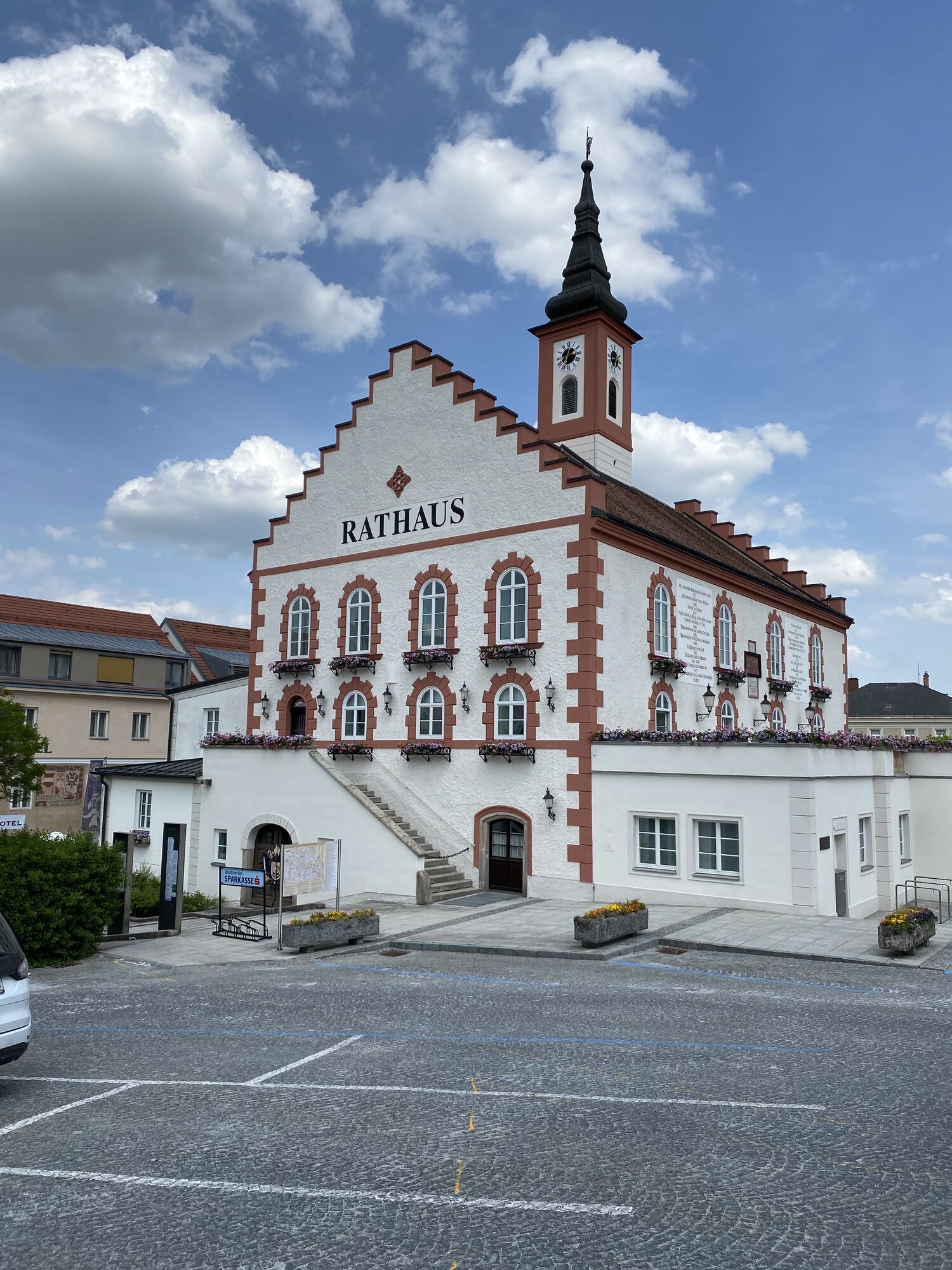
Stadtpfarrkirche Mariae Himmelfahrt
(510 m)
Lugar de culto
31,6 km
Pfarrkirche hll. Petrus und Paulus
(486 m)
Lugar de culto
38,3 km
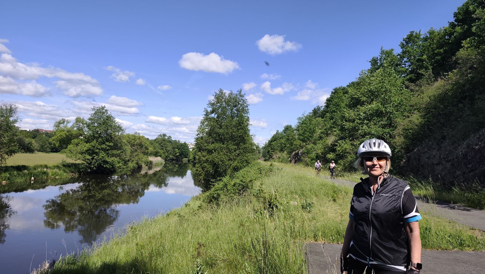
Thaya
(490 m)
Pueblo
38,5 km
Ruta
Frühwärts - Pfarrkirche hl. Ägyd - Kapelle Dietweis - Stadtpfarrkirche Mariae Himmelfahrt
medio
Ciclismo de carrera
43,18
km
Frühwärts
(478 m)
Pueblo
0,0 km
Marktplatz Cafe Restaurant Gastern
(498 m)
Restaurante
2,1 km
Gastern
(502 m)
Pueblo
2,2 km
Gasthaus Müllner
(499 m)
Restaurante
2,2 km
Ruders
(569 m)
Pueblo
4,2 km
Grünau
(613 m)
Liquidación
5,4 km
Gasthof Kutscherklause
(575 m)
Restaurante
8,2 km
Eggern
(578 m)
Pueblo
8,2 km
Pfarrkirche hl. Ägyd
(578 m)
Lugar de culto
8,3 km
Dietweis
(583 m)
Pueblo
11,3 km
Kapelle Dietweis
(582 m)
Lugar de culto
11,3 km
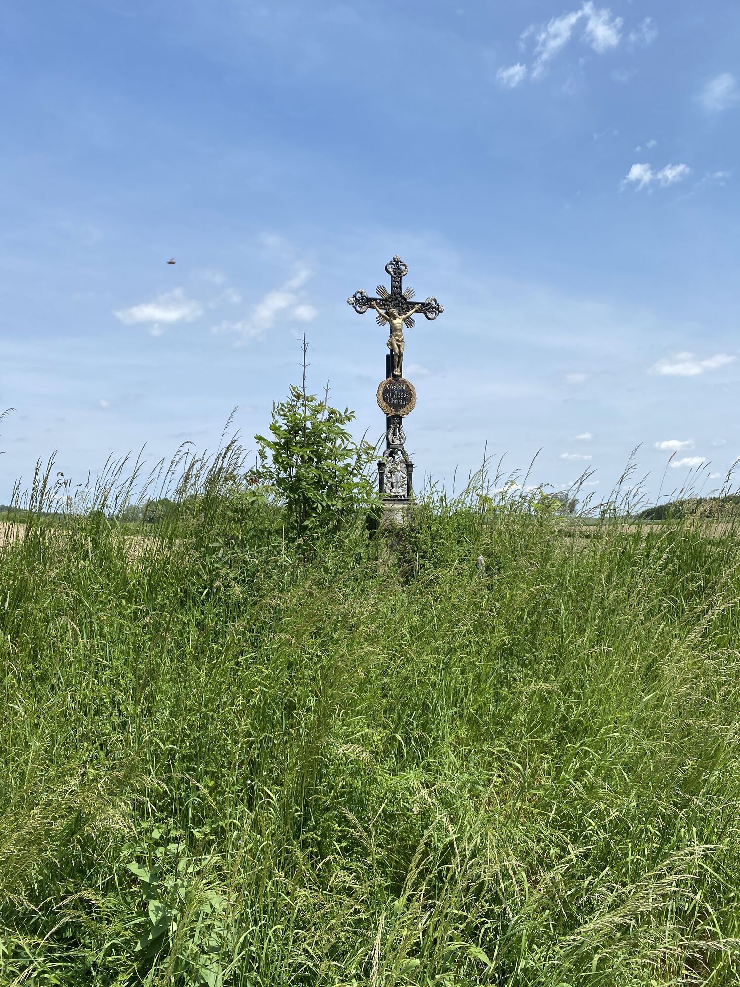
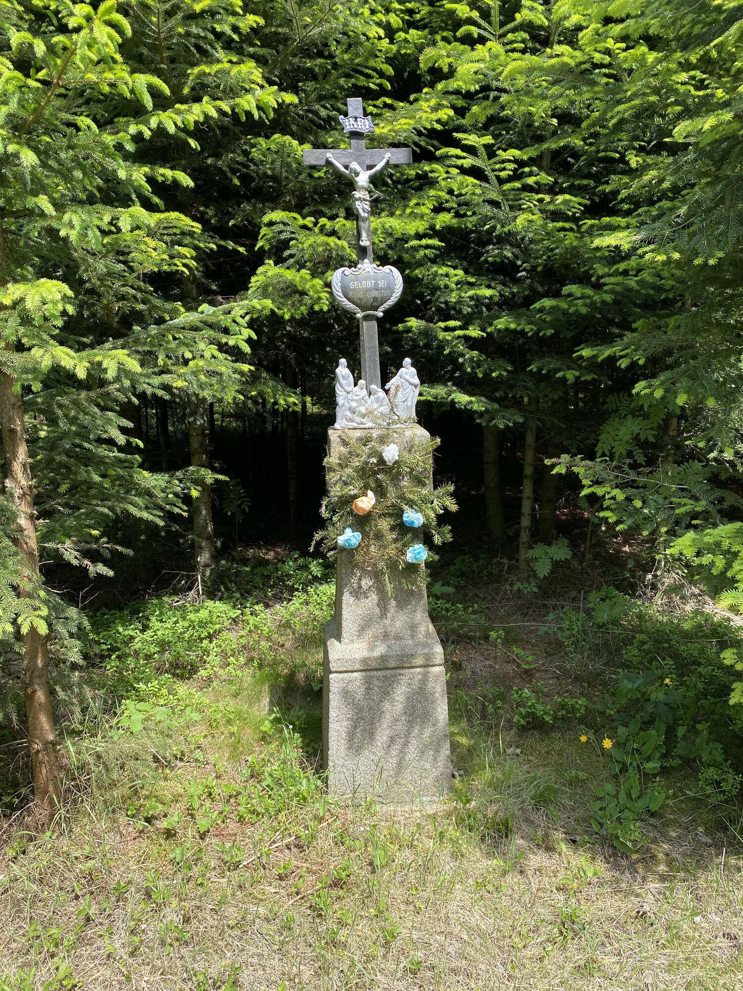
Kerblerkreuz
(581 m)
Corredor/terreno
11,9 km
Heidenreichstein
(561 m)
Ciudad
13,9 km
Kirchberghäuseln
(591 m)
Barrio
17,4 km
Pfarrkirche hl. Johannes der Täufer
(584 m)
Lugar de culto
17,5 km
Seyfrieds
(575 m)
Pueblo
17,5 km
Schwarzenberg
(602 m)
Pueblo
19,1 km
Drösiedl
(588 m)
Liquidación
21,7 km
Artolz
(580 m)
Pueblo
23,0 km
Pfarrkirche hl. Florian
(574 m)
Lugar de culto
25,7 km
Buchbach
(565 m)
Pueblo
25,9 km
Grießlißen
(551 m)
Corredor/terreno
26,6 km
Ortskapelle
(540 m)
Lugar de culto
28,1 km
Brunn
(539 m)
Pueblo
28,2 km
Stadtpfarrkirche Mariae Himmelfahrt
(510 m)
Lugar de culto
31,6 km
Waidhofen an der Thaya
(510 m)
Ciudad
31,6 km
Oeden
(492 m)
Corredor/terreno
34,0 km
Vestenötting
(487 m)
Pueblo
34,5 km
Landgasthof und Pension Haidl
(479 m)
Restaurante
38,3 km
Pfarrkirche hll. Petrus und Paulus
(486 m)
Lugar de culto
38,3 km
Stefan Trefanitz
(484 m)
Restaurante
38,4 km
Thaya
(490 m)
Pueblo
38,5 km
Eggmanns
(506 m)
Pueblo
41,9 km
Frühwärts
(478 m)
Pueblo
43,2 km
Autor
Proporcionado por Bergfex Tour Generator
Compartir gira
Frühwärts - Pfarrkirche hl. Ägyd - Kapelle Dietweis - Stadtpfarrkirche Mariae Himmelfahrt
medio
Ciclismo de carrera
43,18
km
Error
Se ha producido un error. Por favor, inténtelo de nuevo.
Aún no hay opiniones
Rutas populares en los alrededores
-
4,4
Teiche-Radroute (Strecke 2020) Niederösterreich
medioCiclismo 48,7 km -
5,0
Thayarunde Slavonice-Waidhofen-Göpfritz
medioCiclismo 47,5 km -
4,2
Thayarunde Waldviertel - 3. Etappe
luzCiclismo de larga distancia 28,2 km -
Thayarunde
luzCiclismo 94,2 km -
4,7
Gemeinde Heidenreichstein - Winkelauer Berg - Seyfrieds
luzSenderismo 7,24 km -
Naturlehrpfad Heidenreichsteiner Moor
luzSenderismo 4,56 km -
5,0
Waldweg des Naturparks Heidenreichsteiner Moor
luzRunning 3,79 km -
Thayarunde 5.Etappe
medioCiclismo 47,2 km -
5,0
Rundfahrt GD-Schrems
medioMountainbike 25,8 km -
5,0
07 Grenzlandweg, 06. Etappe: Dobersberg - Raabs an der Thaya
luzSendero de largo recorrido 25,8 km
Senderismo y rastreo

Más de 550.000 sugerencias de excursiones, mapas detallados y un intuitivo planificador de rutas hacen de esta aplicación una herramienta imprescindible para todos los amantes de la naturaleza.

No se pierda las ofertas y la inspiración para sus próximas vacaciones
Suscribirse al boletín de noticias
Error
Se ha producido un error. Por favor, inténtelo de nuevo.
Gracias por inscribirse
Su dirección de correo electrónico se ha añadido a la lista de correo.
Viajes por Europa
Austria
Suiza
Alemania
Italia
Eslovenia
Francia
Países Bajos
Belgium
Polonia
Liechtenstein
República Checa
Slovakia
España
Croacia
Bosnia y Herzegovina
Luxemburgo
Andorra
Portugal
Iceland
United Kingdom
Ireland
Greece
Albania
North Macedonia
Malta
Norway
Montenegro
Moldova
Kosovo
Hungary
San Marino
Romania
Estonia
Latvia
Belarus
Cyprus
Lithuania
Serbia
Bulgaria
Monaco
Denmark
Sweden
Finland