






Buschberg route

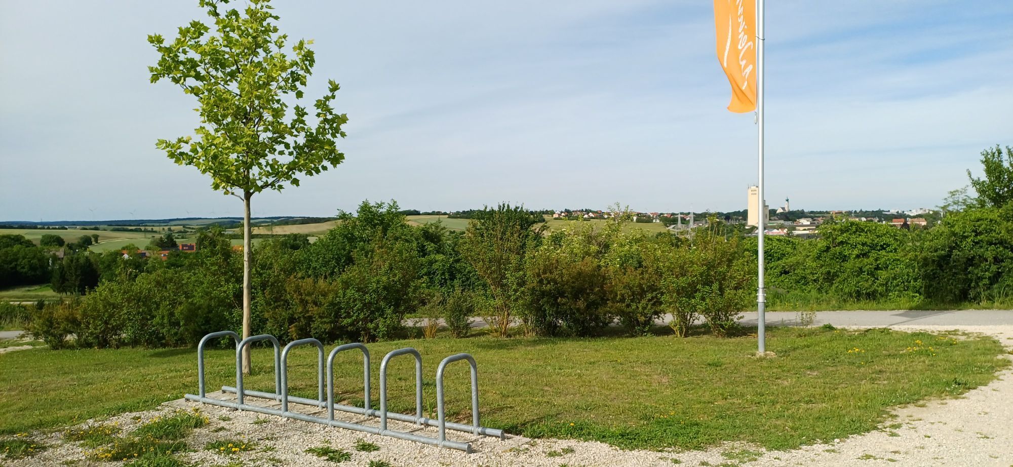
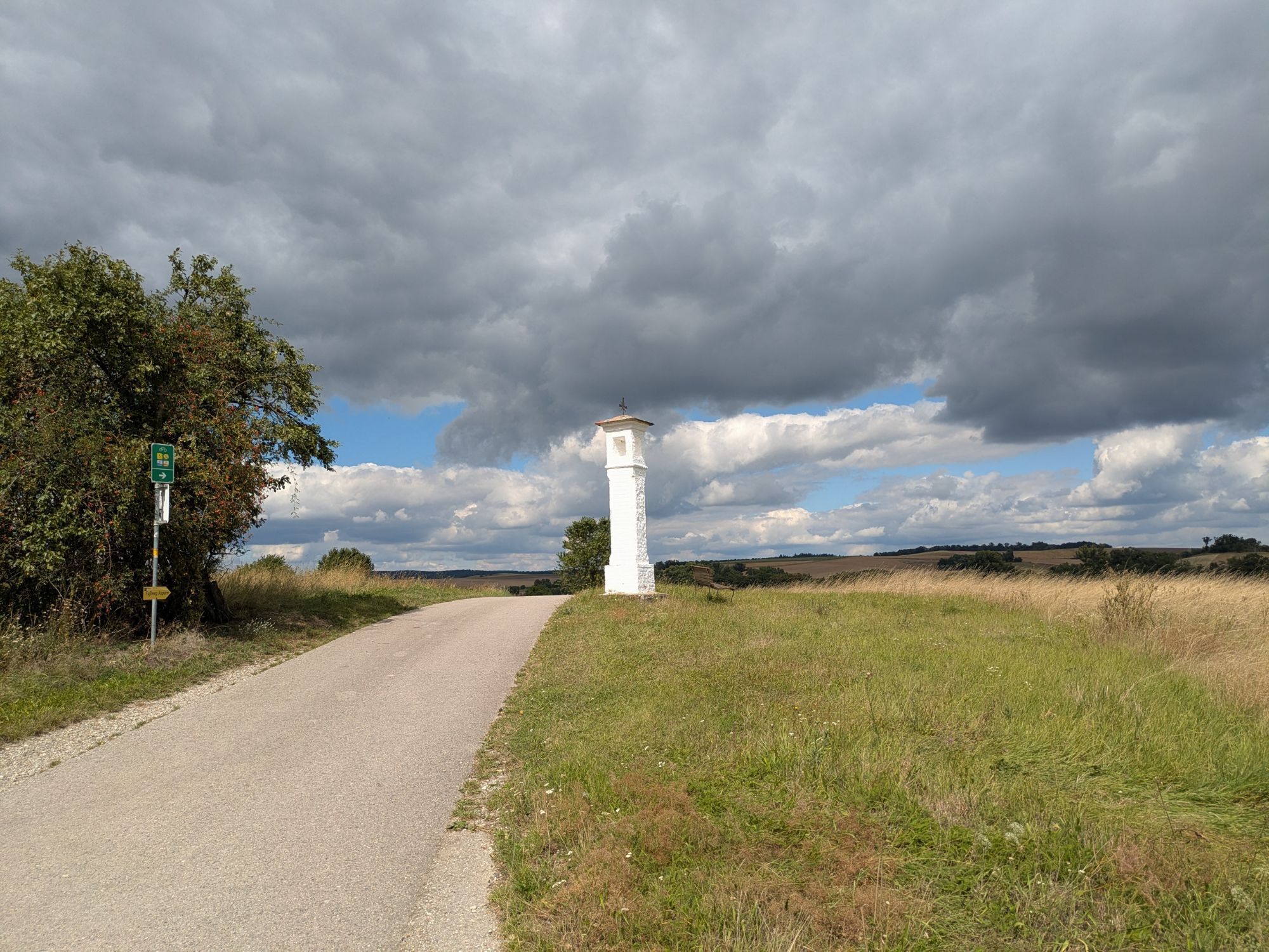
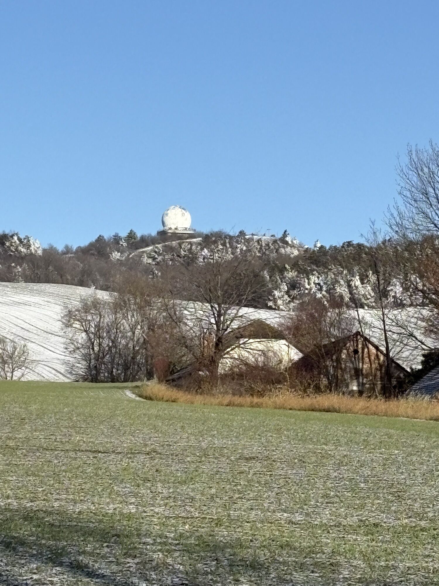
The approximately 51 km long route takes you to the highest elevation of the Weinviertel. Once you reach Buschberg, you have already covered half of the route. Enjoy the breathtaking view before heading...
<p>The approximately 51 km long route takes you to the highest elevation of the Weinviertel. Once you reach Buschberg, you have already covered half of the route. Enjoy the breathtaking view before heading mostly downhill back to Mistelbach.</p>

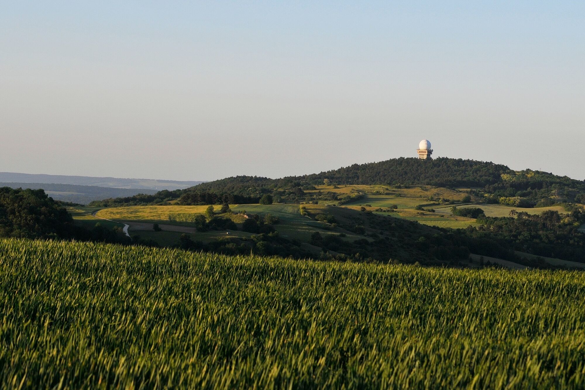
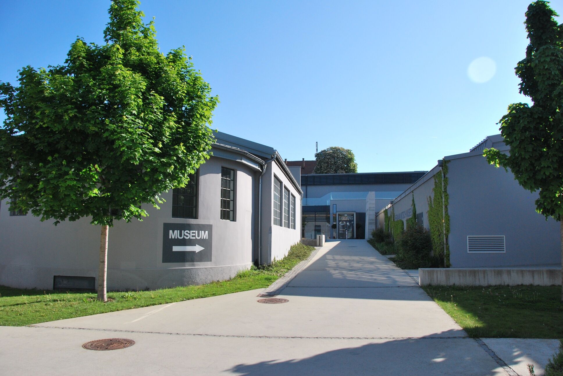

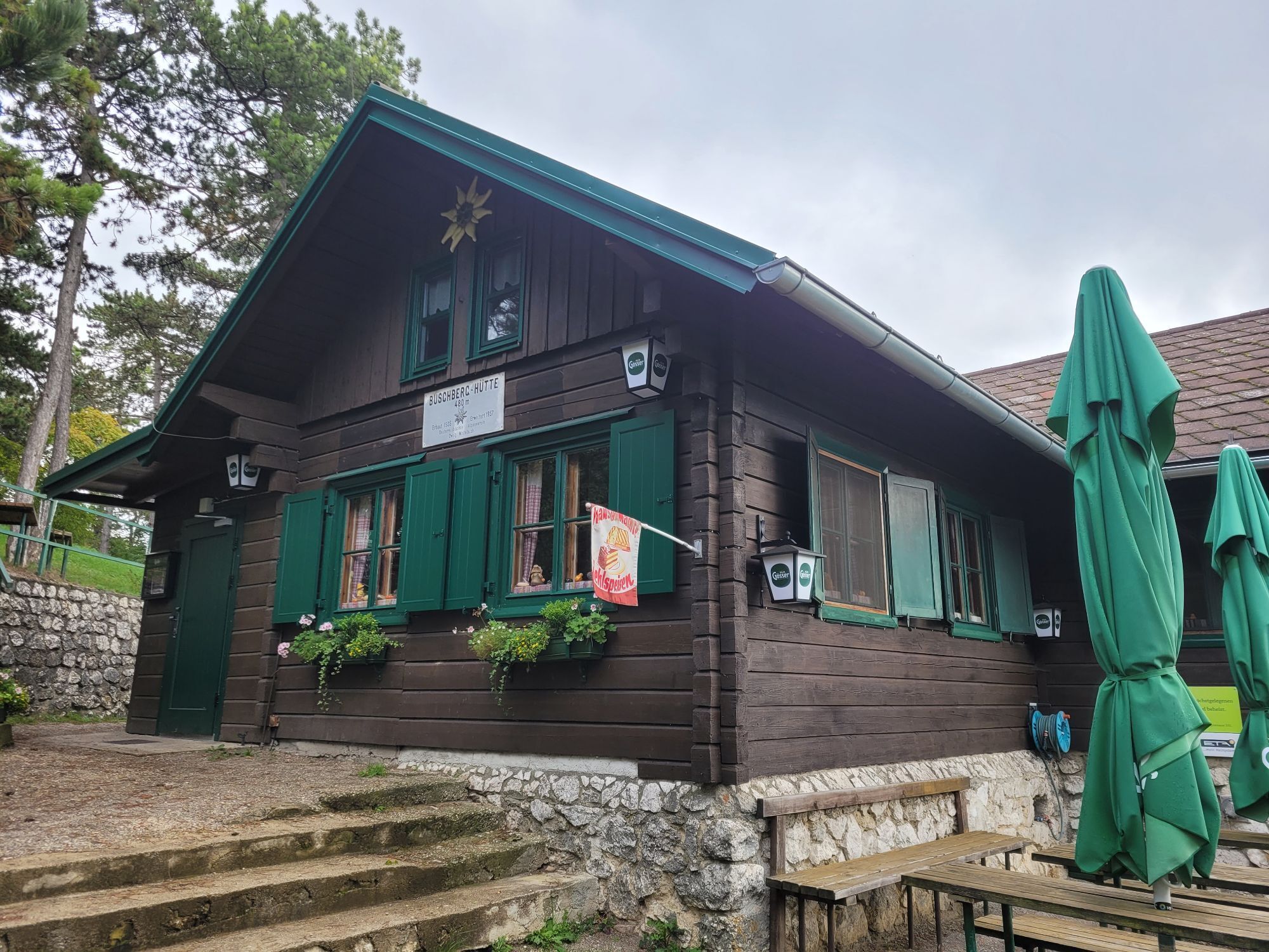
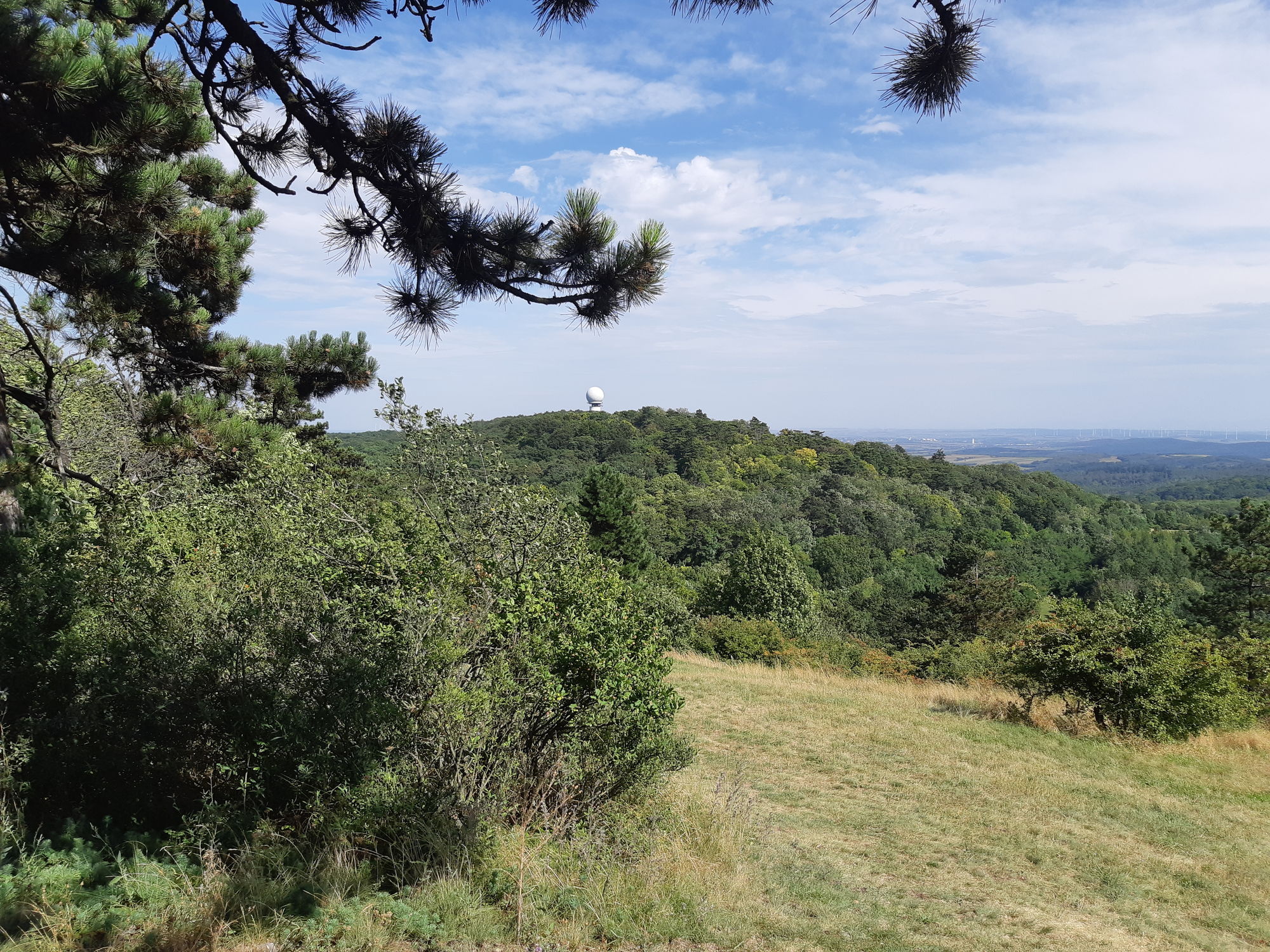
<p>The cycling route starts in Mistelbach at the parking lot of the MAMUZ Museum Mistelbach. Mistelbach can be easily reached by train or bus. From the starting point, you are still about 15 minutes away. In Mistelbach, you have the opportunity to visit the MAMUZ Museum Mistelbach and the Nitsch Museum. From here, you cycle towards the train station. You now continue on the wine bike path "Blauburger." The path leads via Hüttendorf to Asparn an der Zaya. In Hüttendorf, you will find a drinking fountain at the Blume am Paukerspitz. You can experience prehistory up close at MAMUZ Schloss Asparn.</p><p>The route continues on the wine bike path "Blauburger" via Olgersdorf, Zwentendorf, and Wenzersdorf towards Gnadendorf. Numerous inns – such as Gasthaus Bauer or Gasthaus Öfferl – offer you the opportunity to refresh yourself on this section. Before Gnadendorf, you leave the wine bike path "Blauburger" and continue cycling towards Niederleis. Then you pass by Buschberg, the highest elevation of Weinviertel. The managed hut invites you for a small refreshment. The view over the diverse landscape with its fields, forests, and dry meadows, cultivated since the Neolithic, is magnificent.</p><p>From Niederleis, you continue towards Klein Sitzendorf and return to the wine bike path "Blauburger." The route continues via Pürstendorf to Ladendorf. Don't miss the opportunity to visit one of the numerous inns and cafés here as well. Passing Paasdorf, you then return to the starting point in Mistelbach. Both in Paasdorf and Mistelbach, one of the typical wine taverns of the Weinviertel invites you for a final snack. Alternatively, you can end your cycling trip at one of the restaurants in Mistelbach.</p>
<p>We recommend you bring enough drinks with you.</p>
<p>Please follow the route description of this section, as it is not signposted as an independent round. We recommend downloading the gpx track or the PDF document.</p>
<p>By car, you can reach Mistelbach via the A5 motorway. Coming from Retz or Laa, you drive via the B46 federal road. From Hollabrunn, the B40 federal road leads to Mistelbach.</p>
<p>Mistelbach can be reached by both train and bus. Many connections are offered from Laa and from Vienna or Wolkersdorf.</p>
<p>The associated parking lot is located 300 m from the MAMUZ Museum Mistelbach. You can park your car there for free.</p>
Local vendors along the route:
Farm shop Graf & Greis, HüttendorfOpen 24 hoursNah & Frisch, Asparn
Mon-Fri 6-12:15 & 16-18 / Sat 7-12Menzl Bakery, Niederleis
Mon-Sat 6:30-12ADEG, Ladendorf
Mon-Fri 6:30-18:00 / Sat 6:30-12
Bike-friendly restaurants along the route:
Gasthaus Die Landwirtin, NiederleisWed 9-15 / Thu-Sat 9-23 / Sun 9-21Steiner's Annenheim Restaurant, Ladendorf
Mon-Sat from 10:30 / Sun, holidays from 9Hotel-Restaurant zur Linde, Mistelbach
Mon 11:30-14 / Tue-Sat 11:30-14 & 17:30-00:00Restaurant Diesner, Mistelbach
Tue-Sat 9-0:00 / Sun, holidays 9-17
In Niederleis, you should make a detour via Nodendorf to Ernstbrunn. The Wildpark Ernstbrunn is definitely worth a visit. Here you will encounter various species of deer and mouflons, chamois and ibex climbing steep rock walls, as well as wild boars wallowing in the mud.
Rutas populares en los alrededores
-
4,3
Niederleis-Buschberg-Runde
luzSenderismo 7,66 km -
4,5
Über die Leiser Berge
luzSenderismo 10,2 km -
4,0
Leiser Berge Rundtour MASU
luzSenderismo 10,4 km -
4,6
Weinviertel extreme Gipfelwanderung 2024
medioSenderismo 40,8 km -
4,3
Kalkstein-Runde
luzSenderismo 13 km -
3,8
Hundsberg RDW, Kreuttal/Weinviertel
luzSenderismo 10,4 km -
ERNSTBRUNN Dörfles, Wildtierpark, Schloss Ernstbrunn 20220422
luzSenderismo 6,76 km -
5,0
Blauburger
Ciclismo 50,6 km -
3,0
Holzknechtkapelle Enzersdorf
luzSenderismo 6,39 km -
2,7
Rieplkreuz-Runde Ernstbrunner Wald
luzSenderismo 6,79 km
Senderismo y rastreo


No se pierda las ofertas y la inspiración para sus próximas vacaciones
Su dirección de correo electrónico se ha añadido a la lista de correo.





