


GARDEN BIKE ROUTE- Sunflower Route
Fotos de nuestros usuarios
-
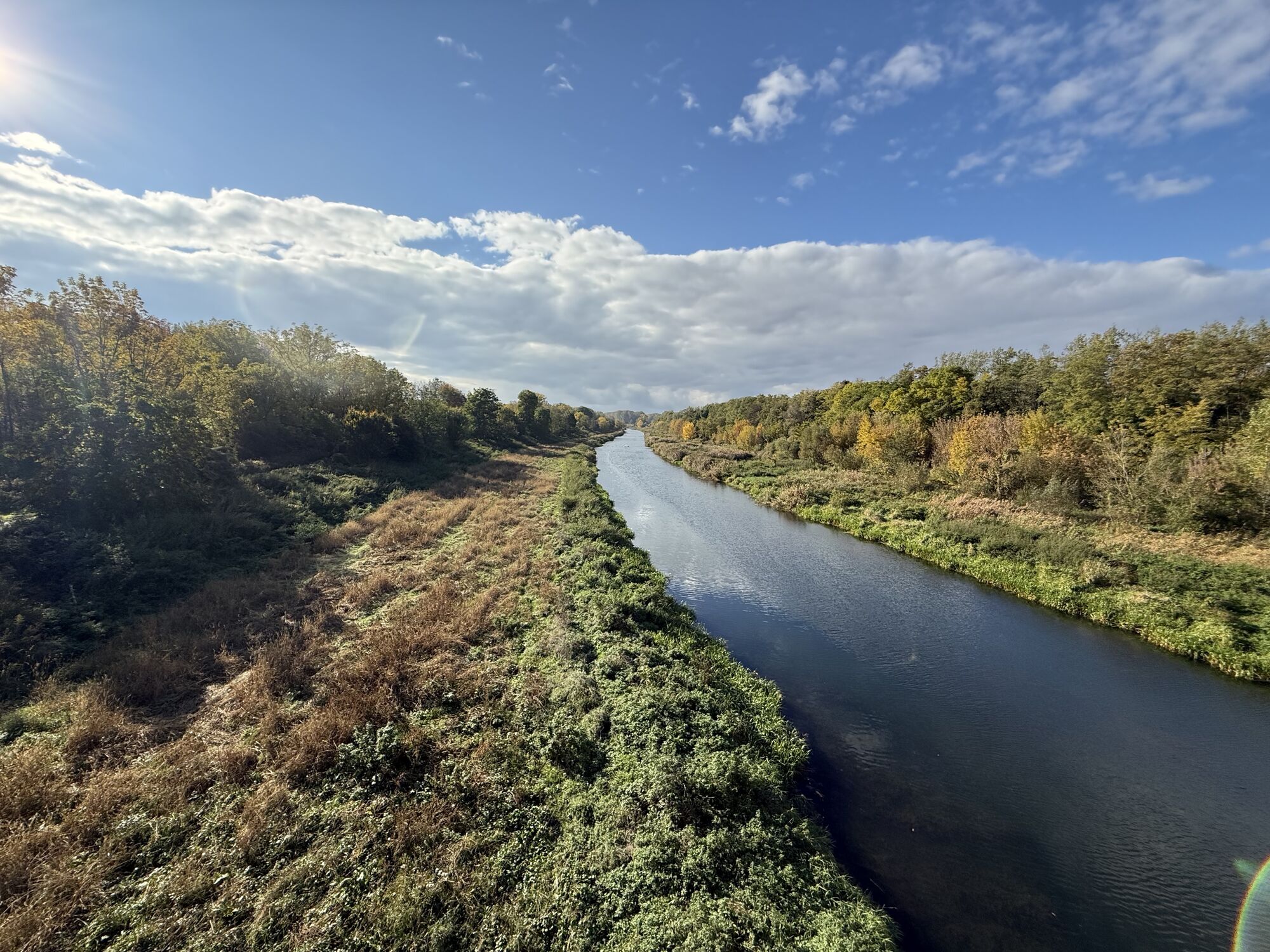
 © Andrea Opitz-JandrisitsCreado el 10.05.2026
 -
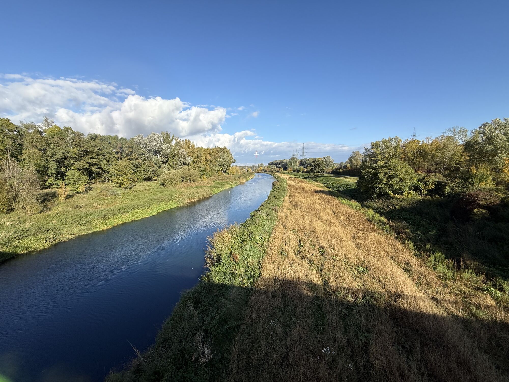
 © Andrea Opitz-JandrisitsCreado el 10.05.2026
 -
 © Andrea Opitz-JandrisitsCreado el 10.05.2026
 -

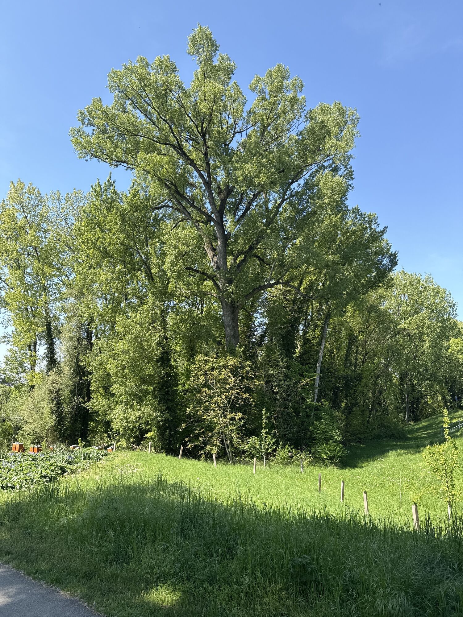
 © Familie HausleitnerCreado el 07.11.2025
 -
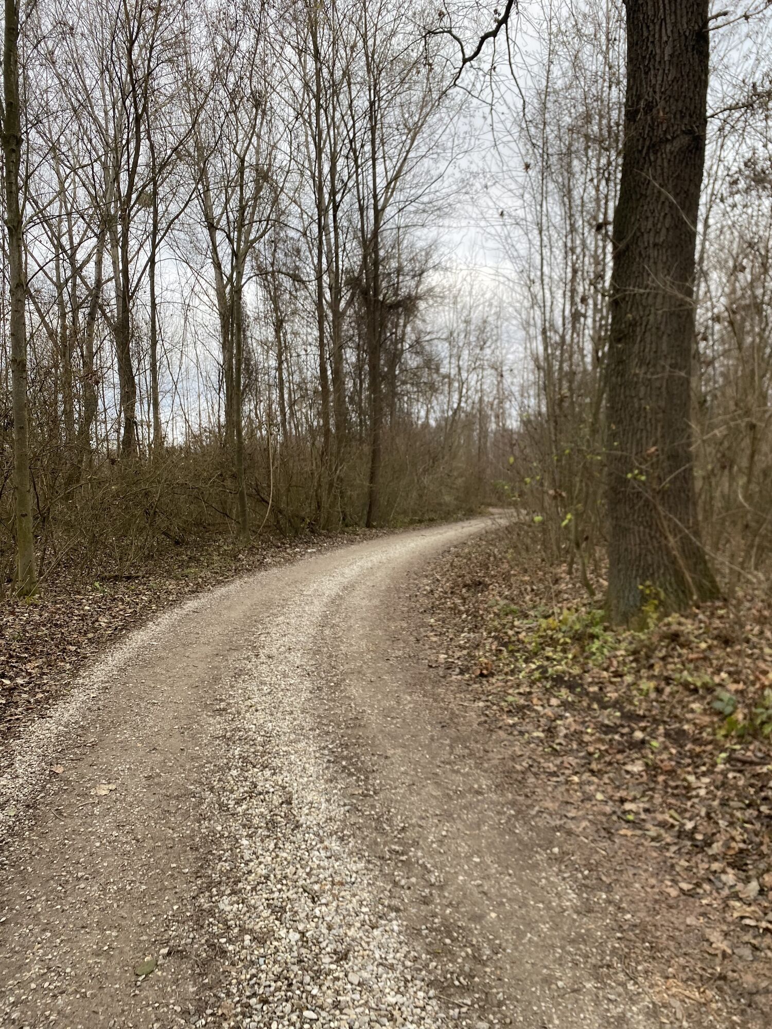
 © Familie HausleitnerCreado el 07.11.2025
 -
 © Familie HausleitnerCreado el 07.11.2025
 -
 © erwinsoCreado el 26.08.2025
 -
 © erwinsoCreado el 26.08.2025
 -
 © erwinsoCreado el 26.08.2025
 -
 © Erich GrafCreado el 15.08.2025
 -
 © Claudia MaurerCreado el 16.07.2025
 -
 © Erich GrafCreado el 21.06.2025
 -
 © Reinhard SchusterCreado el 29.04.2025
 -
 © erwinsoCreado el 19.03.2026
 -
 © erwinsoCreado el 19.03.2026
 -
 © erwinsoCreado el 19.03.2026
 -
 © mjorrocksCreado el 26.12.2025
 -
 © Hermann CzerwenyCreado el 13.10.2025
 -
 © Hermann CzerwenyCreado el 13.10.2025
 -
 © Helmut SchellmannCreado el 30.04.2025
 -
 © Florian GerlCreado el 15.12.2024
 -
 © Florian GerlCreado el 23.11.2024
 -
 © Eric StoklassaCreado el 29.08.2024
 -
 © Kellner HeidiCreado el 12.04.2022
 -
 © Kellner HeidiCreado el 12.04.2022
 -
 © Kellner HeidiCreado el 12.04.2022
 -
 © Kellner HeidiCreado el 12.04.2022
 -
 © Kellner HeidiCreado el 12.04.2022
 -
 © Kellner HeidiCreado el 12.04.2022
 -
 © Kellner HeidiCreado el 12.04.2022


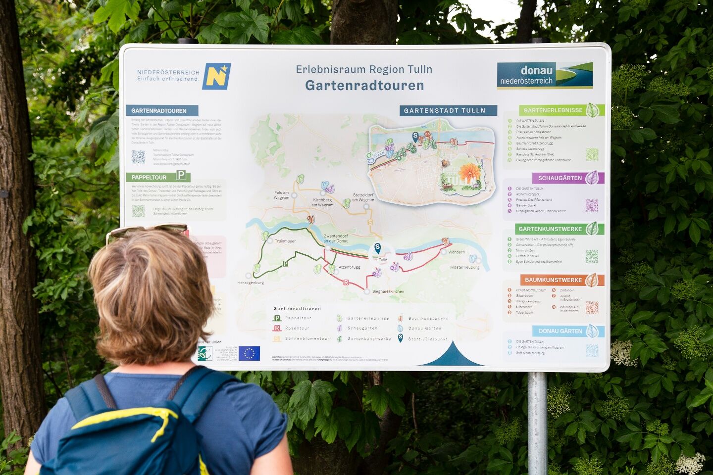
Garden bike routes – a fitting term, but what can you imagine from it? Along the Sunflower, Poplar, and Rose Routes, cyclists experience the theme of the garden in the Tulln region adventure area in a...
<p>Garden bike routes – a fitting term, but what can you imagine from it? Along the Sunflower, Poplar, and Rose Routes, cyclists experience the theme of the garden in the Tulln region adventure area in a new way. In addition to garden experiences, garden and tree artworks, there are many show gardens and horticultural businesses along or near the route. The Sunflower Route starts in the garden city of Tulln and first leads along the Danube Cycle Path west and then north into the Wagram wine-growing region.</p>

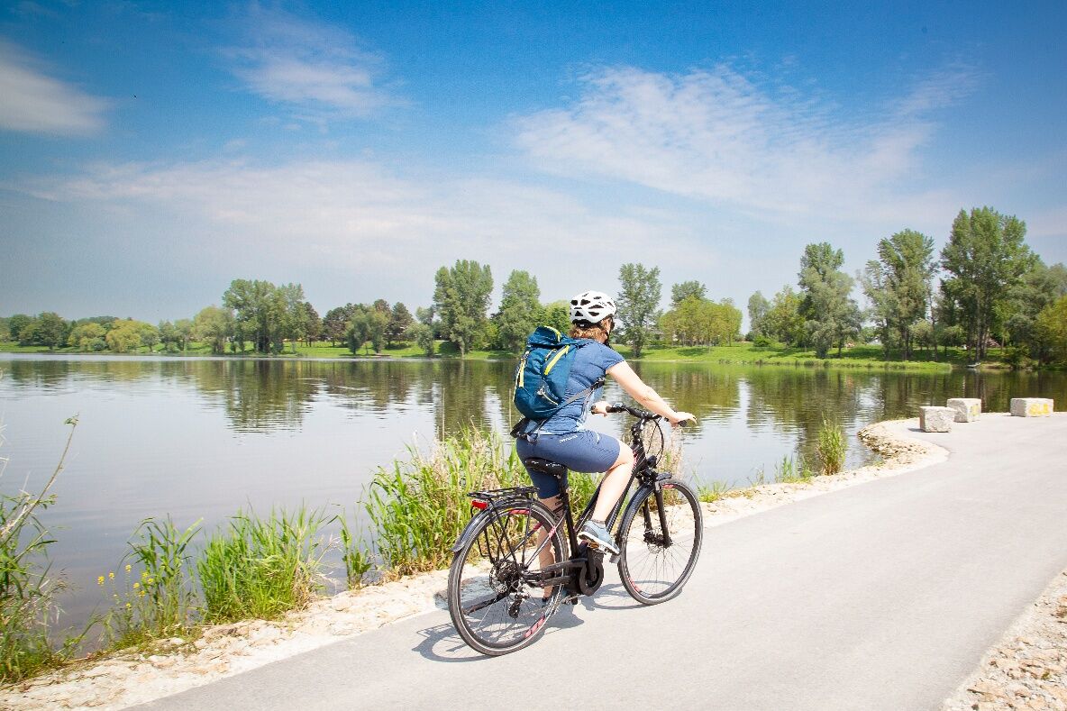
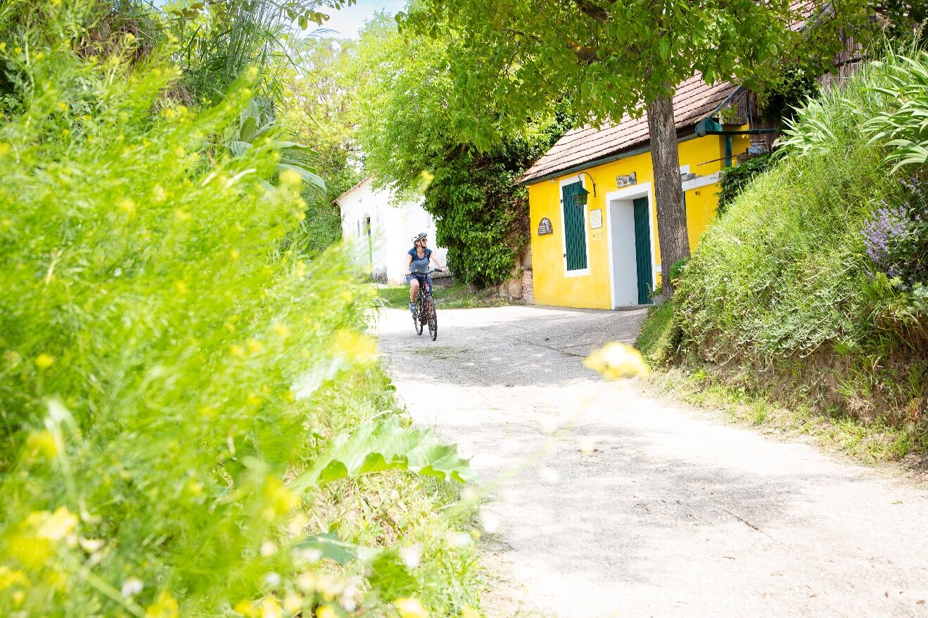
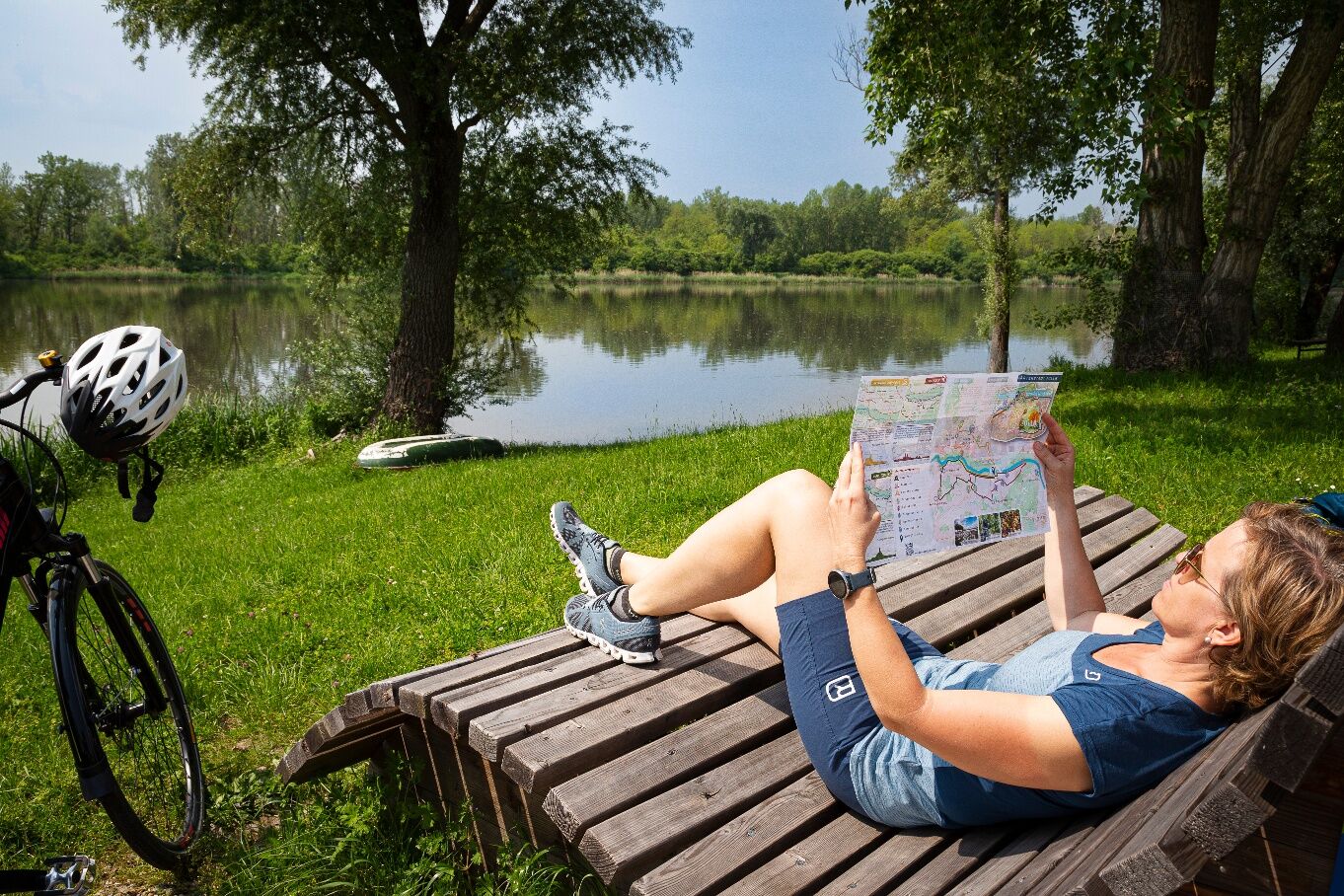
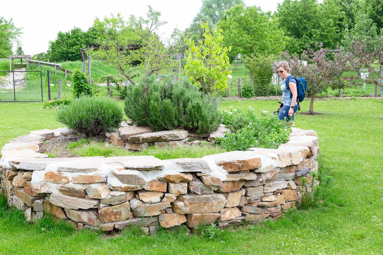
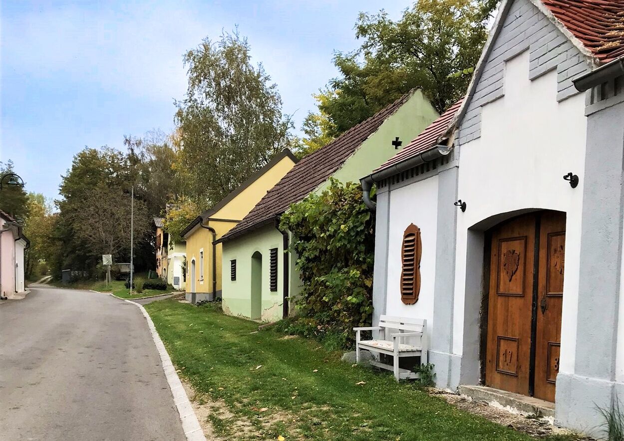
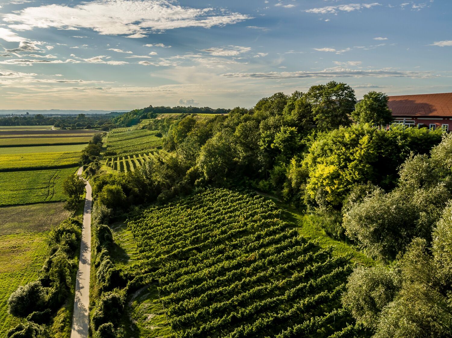
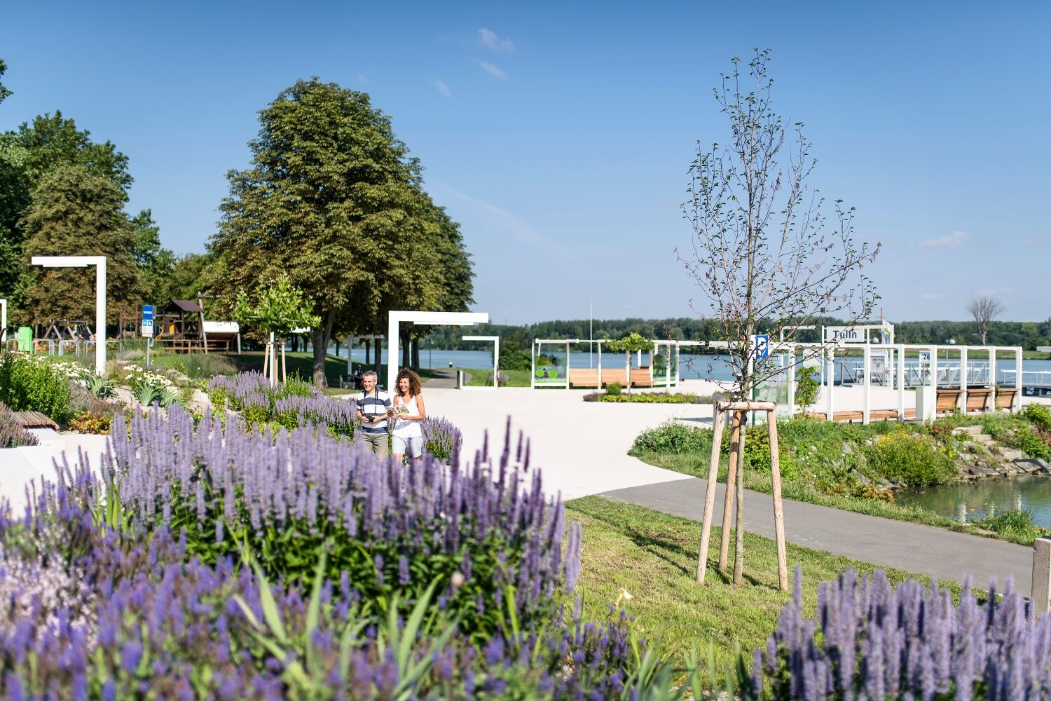
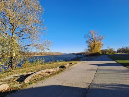
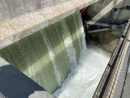
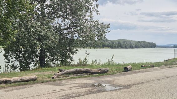
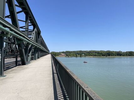
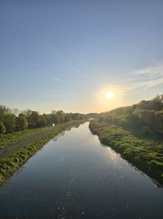
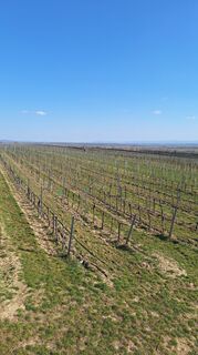
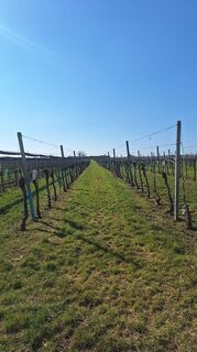
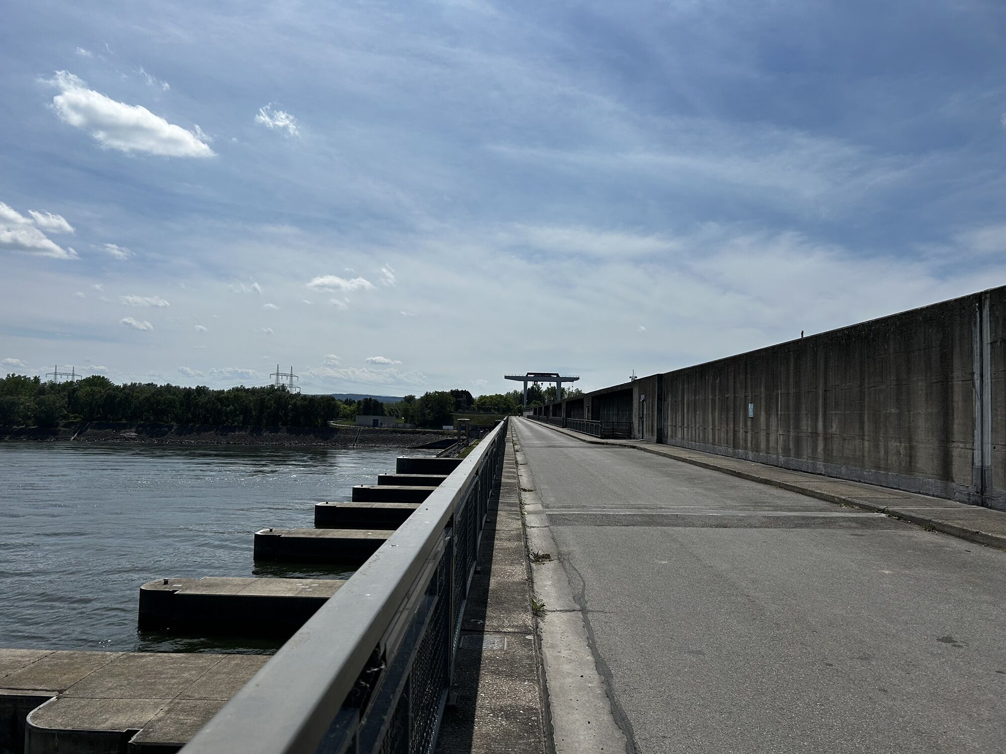
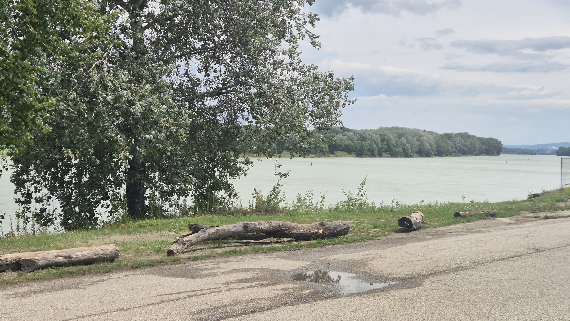
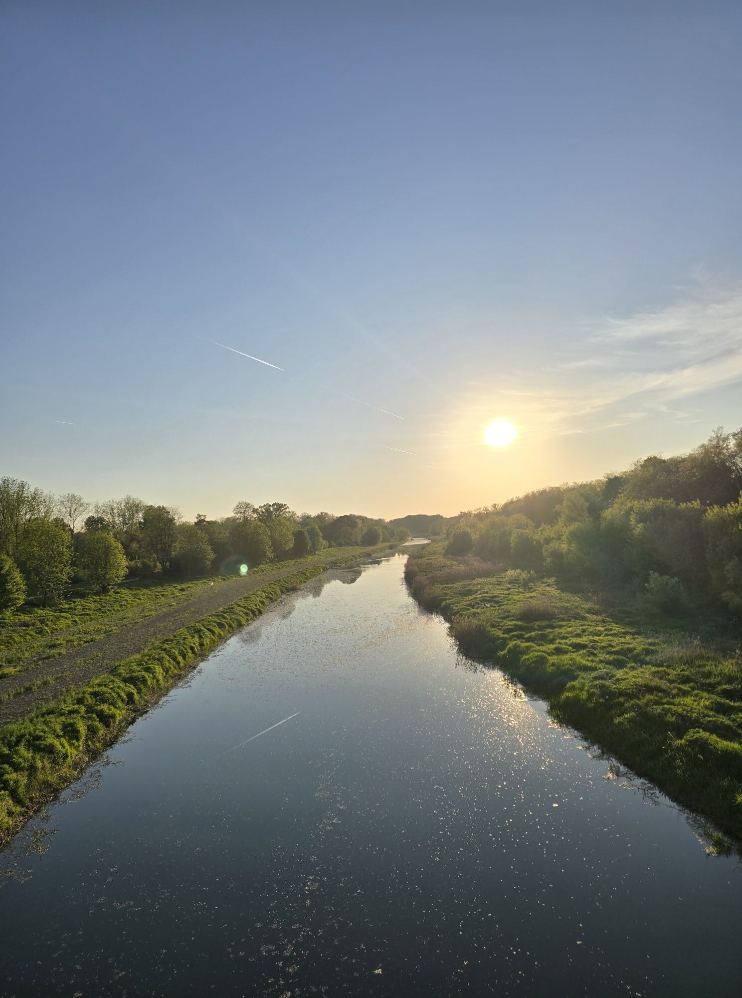
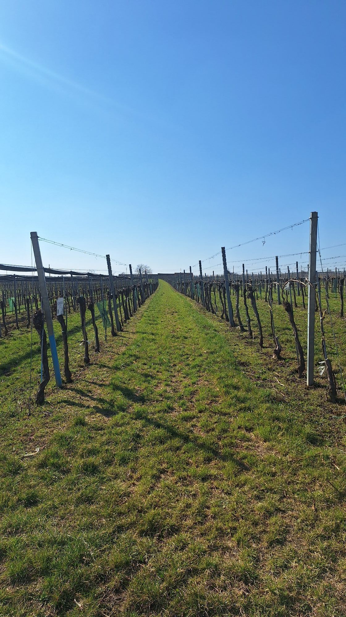
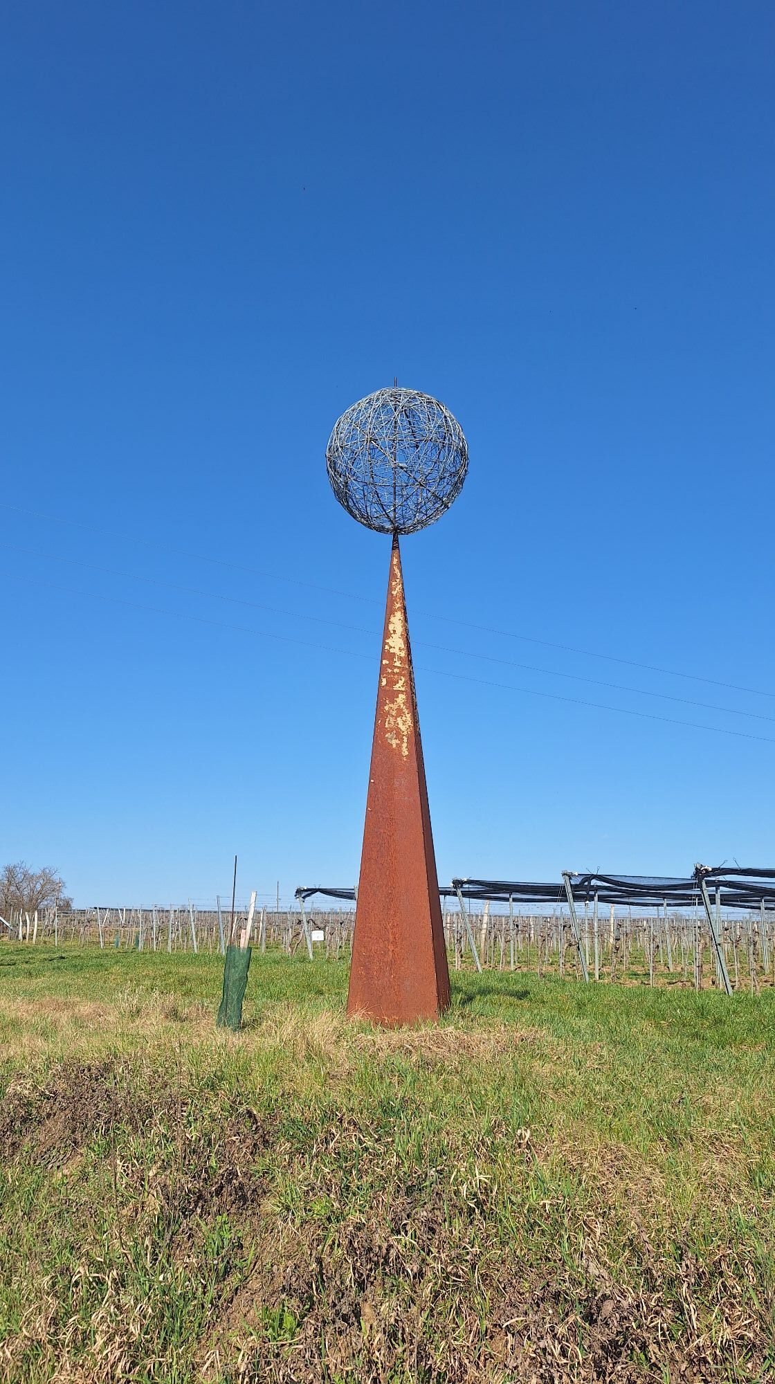
<p>We start the route at the guest harbor on the Danube waterfront in Tulln opposite the ship landing stage and cycle along the Danube Cycle Path eastward. To get to the Tulln Danube Bridge towards Neuaigen, we leave the Danube Cycle Path after the Mark Aurel statue and turn into Mauthausstraße after the parking lot. At the "Direkt" gas station, we cross the Danube Bridge. At the end, keep straight until the long Brückenlahn. Then follow the bike path to Neuaigen. Over a lightly trafficked country road, it goes to Starnwörth and from there to Stetteldorf am Wagram and Absdorf (there is a train connection here). It continues on Kremser Straße (L2168) to Königsbrunn. A look into the parish garden is worthwhile here. In Kirchberg am Wagram, the Alchemists’ Park and the orchard offer cyclists particularly beautiful insights. Those ready for a break visit one of the numerous Heuriger taverns. Refreshed, we now cycle up the wine cellar alley in Fels to the lookout tower. The characteristic landscape of the Wagram wine-growing region is now in front of us, and we enjoy the view over the vineyards. Along the vineyards, the path leads back to the village of Fels am Wagram and further via Seebarn to Altenwörth (Kamptal Cycle Path). Here a beautiful recreation area opens up around the old arm of the Danube. The many willows along the shore offer a cool resting place and the lake invites you to swim. Over the Altenwörth power plant, we return to the Danube Cycle Path. The section back to Tulln is enriched with various garden and tree artworks. The garden experience culminates with DIE GARTEN TULLN with its ecological show gardens. After that, you return to the starting point of the route, the guest harbor at the Danube waterfront in Tulln.</p>
<p>Tip: Due to the length of the routes, they are especially suitable for e-bike riders.</p>
<p>Accessible from Vienna: Motorway A22 and S5, Accessible from the west: West Motorway A1, Accessible from the south: Outer Ring Motorway A21, Accessible from the north: S5, A22, E59</p>
<p>By train, bus, or rental bike to Tulln</p><p>www.oebb.at , www.postbus.at , www.nextbike.at</p>
<p>In the parking garages of downtown Tulln</p>
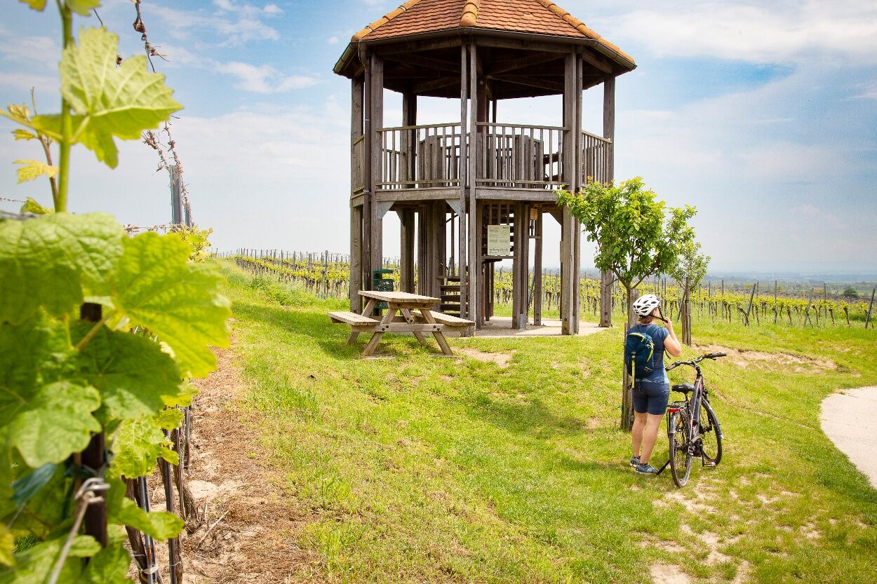
The Fels am Wagram lookout tower offers a wonderful view over the vineyards.
Rutas populares en los alrededores
-
4,8
Kellergassen-Tour
pesadoCiclismo 38,3 km -
4,0
Weinwanderweg Wetzdorf
luzSendero temático 6,51 km -
4,3
Niederrußbach Dauersberg Stranzendorf retour 20190519
luzSenderismo 7,75 km -
3,8
W3 Löss-Tour
medioCiclismo 38,6 km -
4,5
Von Feuersbrunn zur Engabrunner Warte
luzSenderismo 7,68 km -
3,0
Donautour W5
luzCiclismo 38,5 km -
3,7
Über Sitzenberg-Reidling: Seelacke-Korkenzieher-Weinberge
medioSenderismo 11,1 km -
3,0
Grosse Tulln
luzCiclismo 22 km -
5,0
Auberger Doggo Runde
luzSenderismo 7,05 km -
3,7
Seelackenberg-Sitzenberg Runde
luzSenderismo 8,37 km
Senderismo y rastreo


No se pierda las ofertas y la inspiración para sus próximas vacaciones
Su dirección de correo electrónico se ha añadido a la lista de correo.