






Bernhardiweg - Stage 3: Spital bei Weitra - Groß Gerungs

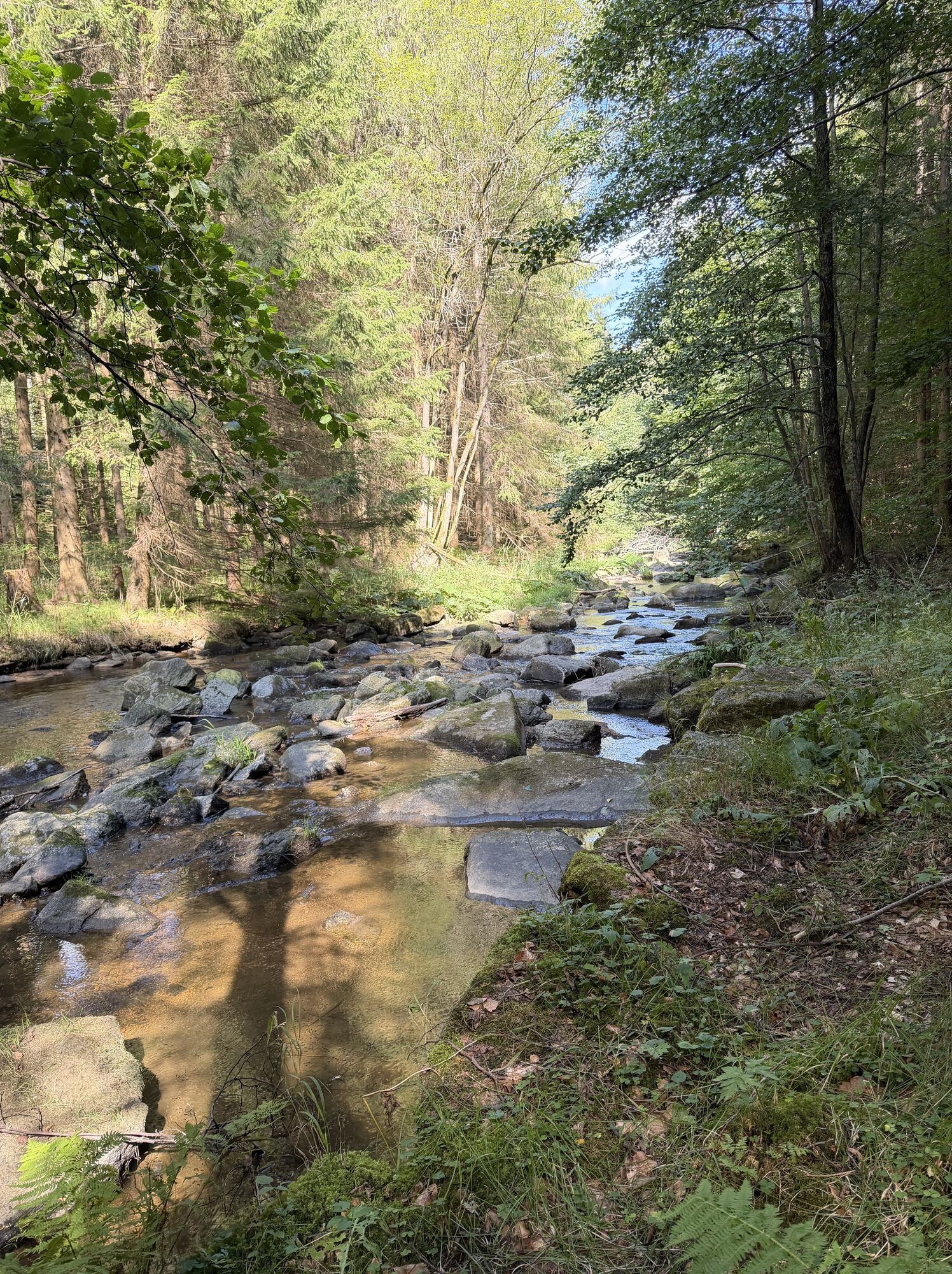
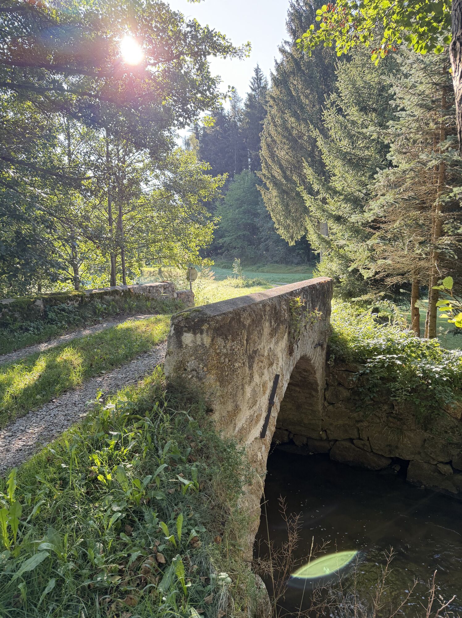
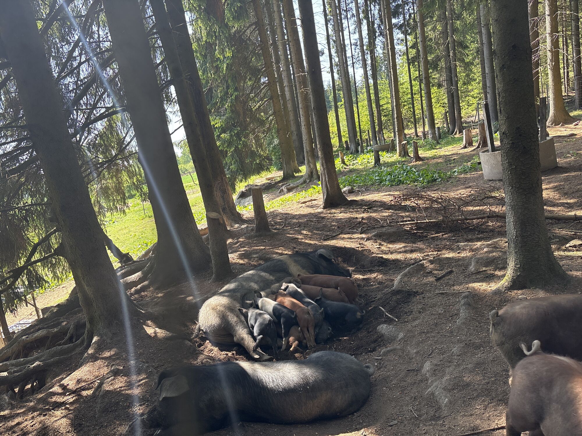
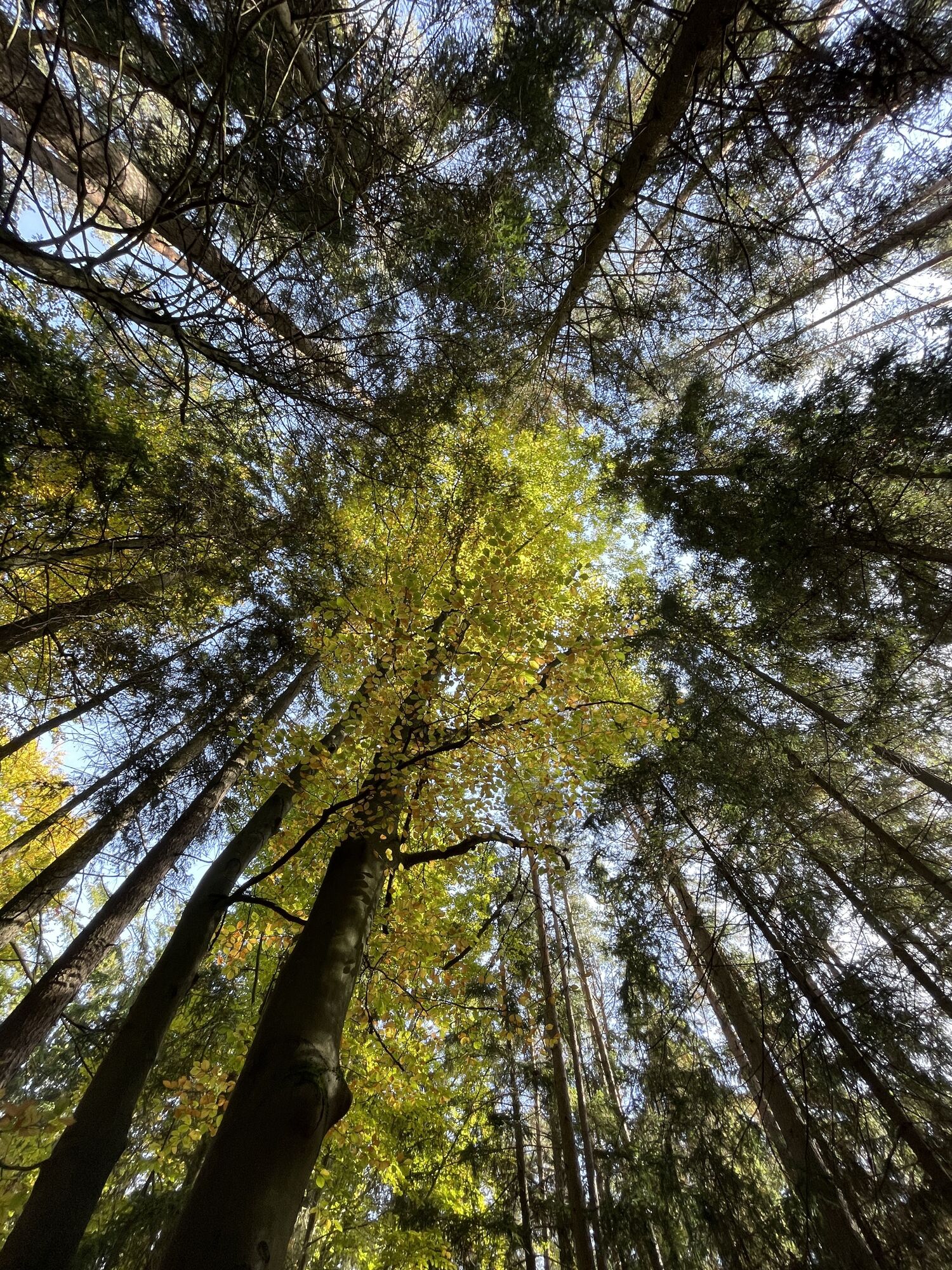
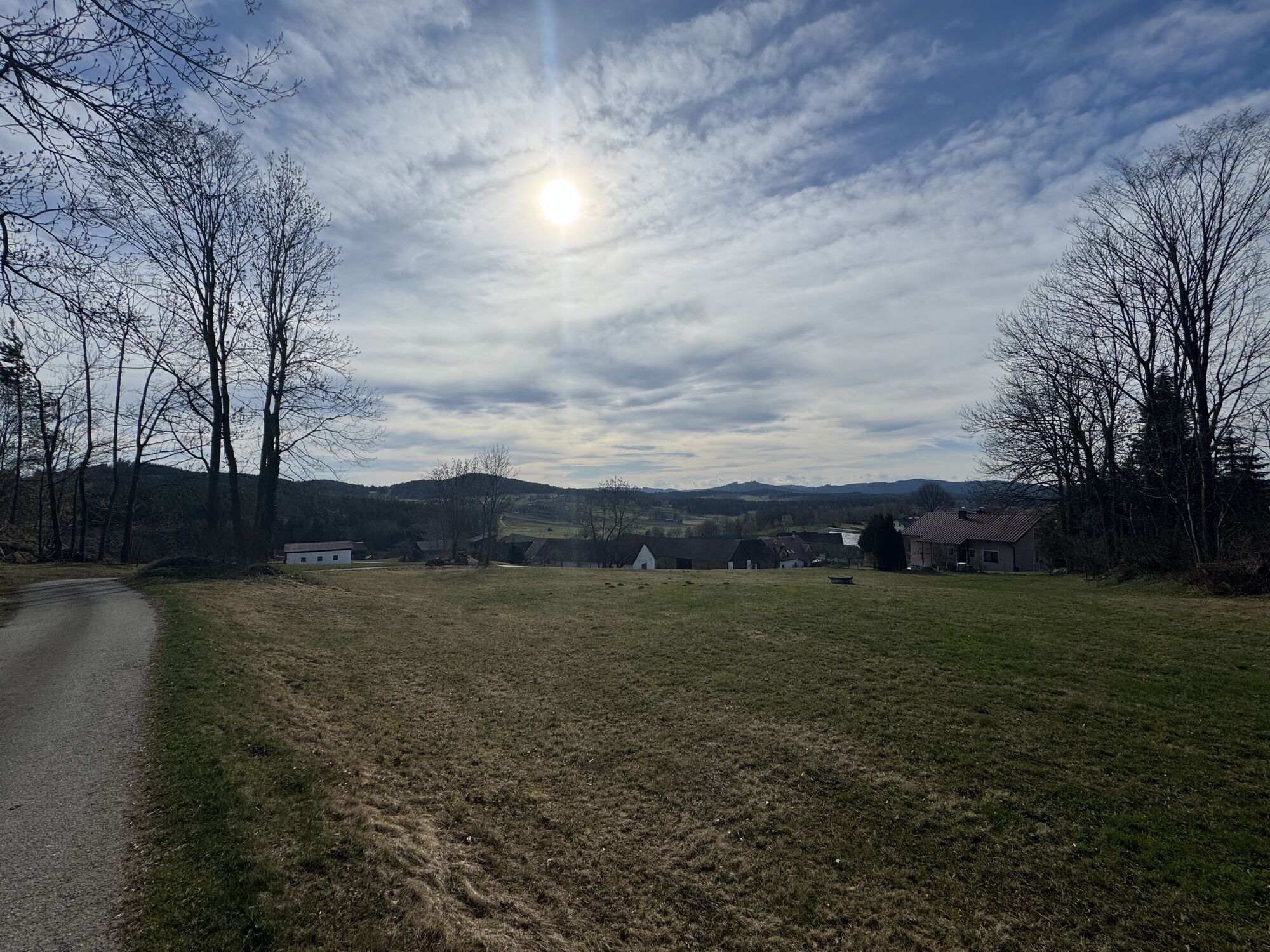
The Bernhardiweg is a pilgrimage route in the Waldviertel, Lower Austria, named after Saint Bernard of Clairvaux. It connects several historical and spiritual places and invites you to discover the rich...
<p>The Bernhardiweg is a pilgrimage route in the Waldviertel, Lower Austria, named after Saint Bernard of Clairvaux. It connects several historical and spiritual places and invites you to discover the rich history and scenic beauty of the region.</p>

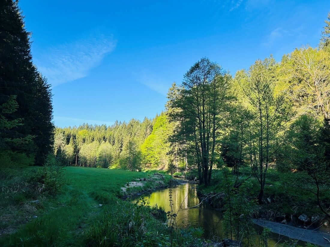

<p><strong>Spital - Johannesberg</strong><br >The exact route description from Spital to Johannesberg can be found here: https:/www.zwalk.at/bernhardiweg-spital-johannesberg/</p><p><strong>Johannesberg - Großschönau</strong><br >The exact route description from Johannesberg to Großschönau can be found here: https:/www.zwalk.at/bernhardiweg-johannesberg-grossschoenau/ </p><p><strong>Großschönau - Wurmbrand</strong><br >The exact route description from Großschönau to Wurmbrand can be found here: https:/www.zwalk.at/bernhardiweg-grossschoenau-wurmbrand/ </p><p><strong>Wurmbrand - Groß Gerungs</strong><br >The exact route description from Wurmbrand to Groß Gerungs can be found here: https:/www.zwalk.at/bernhardiweg-wurmbrand-gross-gerungs/ </p>
<p>Sturdy footwear, functional clothing, sun and rain protection, map material, if necessary telescopic poles, first aid kit (blister plasters), sufficient provisions (snack, muesli bars, fruit, water).</p>
<p>Make sure your chosen route matches your fitness level. Check if the gastronomy businesses you want to visit on the way are open. Pack your charged mobile phone and map material in your backpack.</p>
<p>Find the best and fastest way to the starting point of the route using the route planner: www.google.at/maps </p>
<p>All information about all bus and train lines to the Waldviertel can be found at <a href="www.vor.at">www.vor.at</a> or at <a href="www.oebb.at">www.oebb.at</... </p>
Waldviertel Tourism
3910 Zwettl, Sparkassenplatz 1/2/2
(T) +43 2822 54109
(E) info@waldviertel.at



Rutas populares en los alrededores
-
4,1
Naturparkweg Bad Großpertholz
luzSenderismo 7,17 km -
4,4
TiWaLi Kamptal-Weißenbach-Runde
luzSenderismo 10,6 km -
4,2
Rundweg Gabrielental-Reinprechts-Brühl-Gabrielental, Nr. 31
medioSenderismo 11,4 km -
4,8
Wasserwunderweg Zwettl
Senderismo 19,2 km -
4,5
Roiten - Satzling - Hoher Stein - Gasthaus König
medioSenderismo 9,89 km -
4,3
Sendero de Kinzenschlag n.º 42
medioSenderismo 13,0 km -
4,2
Senda de senderismo de la pirámide de piedra
medioSendero temático 10,8 km -
4,7
Wildkräuterlehrpfad mit Schritteweg
luzSendero temático 2,45 km -
5,0
Kampschlucht u. Torbogen
luzSenderismo 14,8 km -
4,0
Weltkugel-Wanderweg Nr. 31
medioSenderismo 19,5 km
Senderismo y rastreo


No se pierda las ofertas y la inspiración para sus próximas vacaciones
Su dirección de correo electrónico se ha añadido a la lista de correo.





