


Vienna Pilgrim Way: Entire route from Perchtoldsdorf to Mariazell
Fotos de nuestros usuarios
-

 © SterCreado el 07.01.2023
 -

 © BergschnüfflerCreado el 28.09.2022
 -
 © BergschnüfflerCreado el 28.09.2022
 -
 © BergschnüfflerCreado el 28.09.2022
 -
 © SahiCreado el 10.09.2022
 -
 © Jele HannesCreado el 14.05.2026
 -
 © Jele HannesCreado el 14.05.2026
 -
 © Jele HannesCreado el 14.05.2026
 -
 © Patrick82Creado el 10.05.2026
 -
 © Patrick82Creado el 10.05.2026
 -
 © MaggiCreado el 09.05.2026
 -
 © Dietlinde FischerCreado el 06.05.2026
 -

 © Martin1967Creado el 03.05.2026
 -
 © Martin1967Creado el 03.05.2026
 -
 © Martin1967Creado el 03.05.2026
 -
 © Martin1967Creado el 03.05.2026
 -
 © Martin1967Creado el 03.05.2026
 -
 © hans helmCreado el 02.05.2026
 -
 © hans helmCreado el 02.05.2026
 -
 © s3ns3Creado el 27.04.2026
 -
 © s3ns3Creado el 27.04.2026
 -
 © s3ns3Creado el 27.04.2026
 -
 © s3ns3Creado el 27.04.2026
 -
 © s3ns3Creado el 27.04.2026
 -
 © s3ns3Creado el 27.04.2026
 -
 © s3ns3Creado el 27.04.2026
 -
 © s3ns3Creado el 27.04.2026
 -

 © Kellner HeidiCreado el 25.04.2026
 -
 © Kellner HeidiCreado el 25.04.2026
 -
 © Maria WieserCreado el 24.04.2026
 -
 © Oliver VeceraCreado el 19.04.2026
 -
 © Oliver VeceraCreado el 19.04.2026
 -
 © Peter FroihoferCreado el 14.04.2026
 -
 © MimiCreado el 12.04.2026
 -
 © MimiCreado el 12.04.2026
 -
 © MimiCreado el 12.04.2026
 -
 © MimiCreado el 12.04.2026
 -
 © ChasquiRunnerCreado el 11.04.2026
 -
 © Susanna SunkCreado el 08.04.2026
 -
 © Susanna SunkCreado el 08.04.2026
 -
 © Susanna SunkCreado el 08.04.2026
 -
 © Susanna SunkCreado el 08.04.2026
 -
 © Henriette MussgerCreado el 07.04.2026
 -
 © chrimCreado el 05.04.2026
 -
 © chrimCreado el 05.04.2026
 -
 © chrimCreado el 05.04.2026
 -
 © chrimCreado el 05.04.2026
 -
 © Iulia RubtsovaCreado el 22.03.2026


In order to offer Mariazell pilgrims an alternative to the Via Sacra, the Viennese pilgrimage route marked No. 06 was created in 1975 by the long-distance hikers' organization of the Alpine Club. This...
In order to offer Mariazell pilgrims an alternative to the Via Sacra, the Viennese pilgrimage route marked No. 06 was created in 1975 by the long-distance hikers' organization of the Alpine Club. This runs close to the Via Sacra as far as Kaumberg. It then uses marked tourist paths and side roads via Unterberg - Rohr im Gebirge - St. Aegyd am Neuwald, away from the historic pilgrimage route. There are alternative routes between Maria Raisenmarkt and the Unterberg via Weissenbach, Furth and Muggendorf. These routes touch on scenic highlights and avoid the strenuous ascent between Araburg and Kieneck. The Lower Austrian Pilgrims' Trail connects the Via Sacra Pilgrims' Trail with the Vienna Pilgrims' Trail between Türnitz and the Walster.


Day 1 stage: Perchtoldsdorf or Vienna-Rodaun to Mayerling
Stage length: 17.9 km, ascents: 678 m, descents: 613 m, walking time: 07:00 h
The path begins in Perchtoldsdorf at the parish church and leads via the Pastor Karl Seemann Promenade into the Föhrenberge Nature Park to Parapluieberg (Franz Ferdinand shelter, 01:15 h). Through light deciduous woods, it continues via Kammersteiner hut, Kugelwiese and Seewiese – passing Wildegg Castle – to Sittendorf (03:00 h). Via the Füllenberg dairy one comes to the motorway underpass, behind which lies the Heiligenkreuz cemetery. From the cemetery one is soon at the baroque Calvary of the Heiligenkreuz abbey, over which one reaches the abbey in a few minutes (01:30 h). From the abbey one finally reaches Mayerling (01:15 h).
Variant Vienna-Rodaun: In this variant one comes from Vienna-Rodaun (terminus tram line 60) via Schiller Promenade into the municipality of Perchtoldsdorf and goes – past the forest sanatorium – to the Perchtoldsdorf heath. At Parapluieberg one meets the ascent coming from Perchtoldsdorf.
Day 2 stage: Mayerling via Klein-Mariazell to Kaumberg
Stage length: 24.9 km, ascents: 855 m, descents: 697 m, walking time: 09:00 h
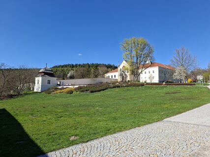
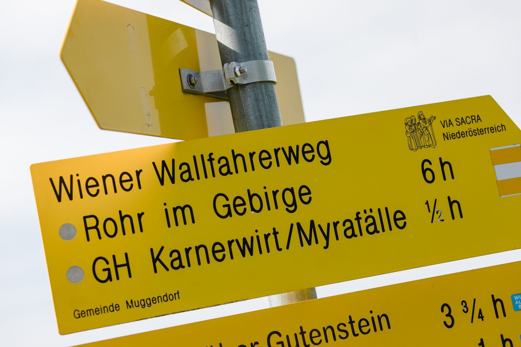
From Mayerling paved paths or field paths lead to Maria Raisenmarkt. It continues through the forest to Holzschlag (@ 02:00 h) and over Nöstach to the pilgrimage church Hafnerberg (01:15 h). The Vienna Pilgrim Way leads from Hafnerberg via beautiful high paths to the active Klein-Mariazell abbey (02:00 h) and further to Kaumberg (03:45 h).
Southern variants via Peilstein to Rohr im Gebirge: From Holzschlag to Peilsteinhaus, over Neuhaus to Weissenbach on the Triesting and to Furth/Schromenau (03:45 h). Here further path division – direct route through Further- and Staffgraben, steep ascent to Kieneck with the Gentian hut (04:00 h) and to Unterberghaus (02:45 h). Easier is the hike in Steinwandgraben via the Jagasitz/Kreuth inn to Thal in Muggendorf and to Unterberghaus (Schromenau – Unterberg 06:30 h). Attention: the southern variants require a different stage division of the overall route.
Valley variant Via Sacra to Kaumberg: From Hafnerberg the Via Sacra runs via Altenmarkt and Thenneberg to Kaumberg.
Day 3 stage: Kaumberg to Rohr
Stage length: 24.9 km, ascents: 1,309 m, descents: 1,118 m, walking time: 10:45 h
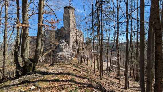
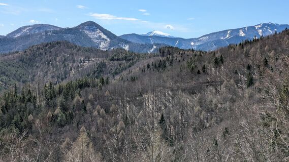
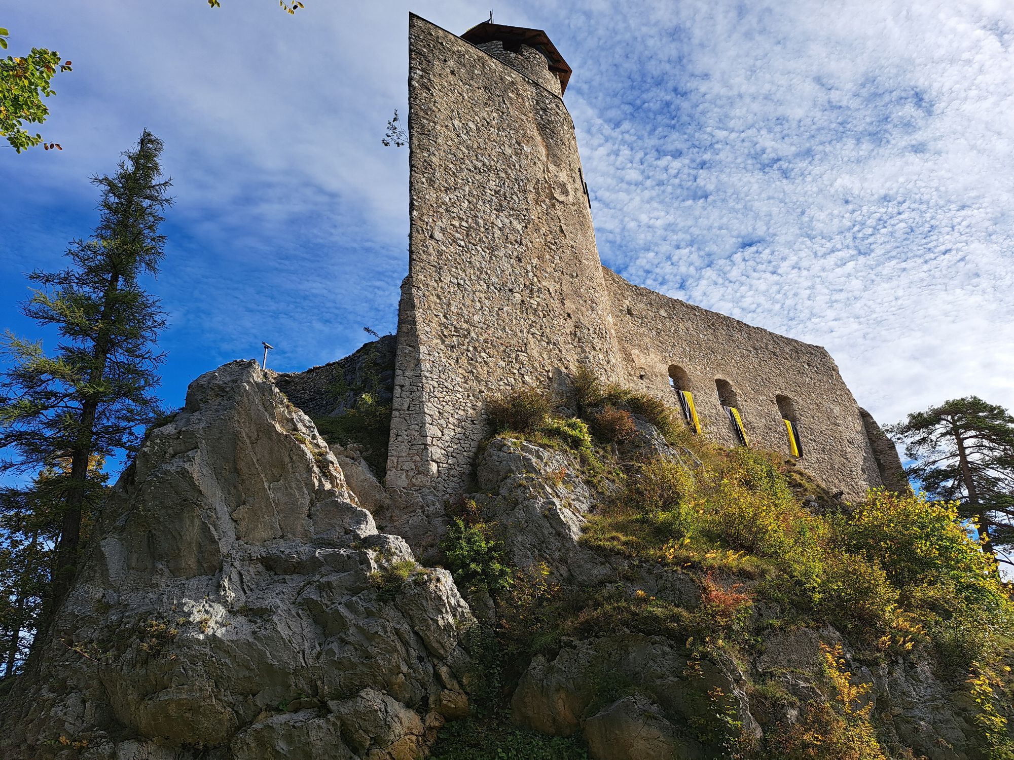
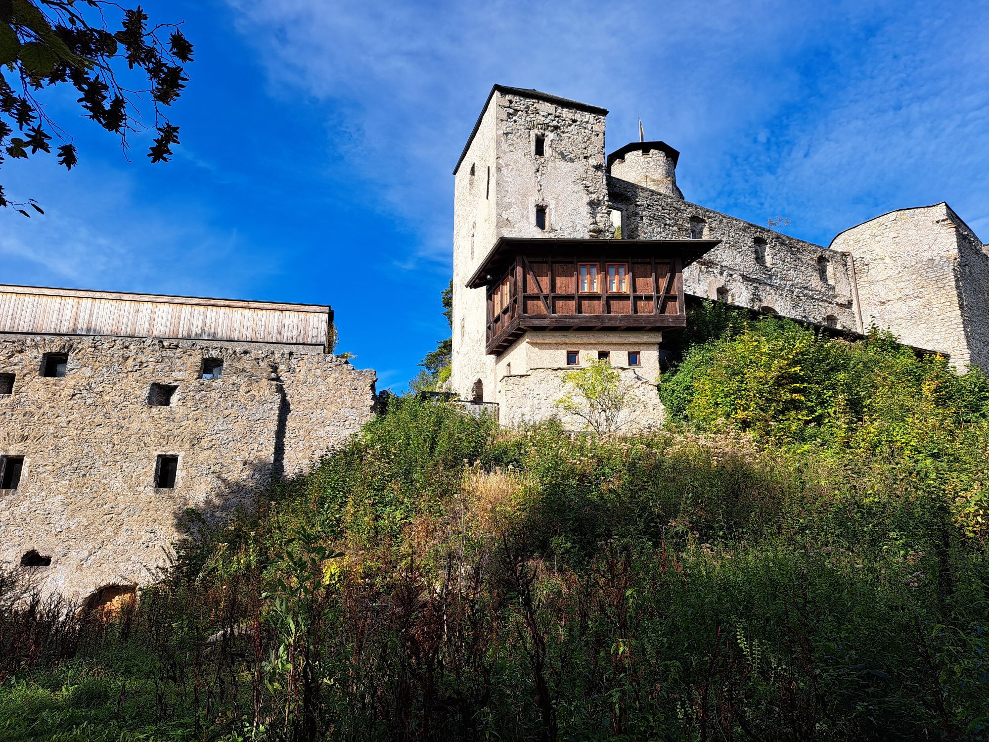
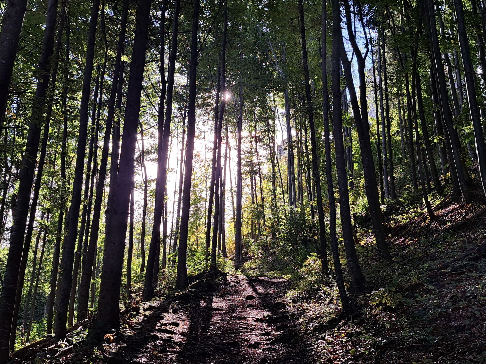
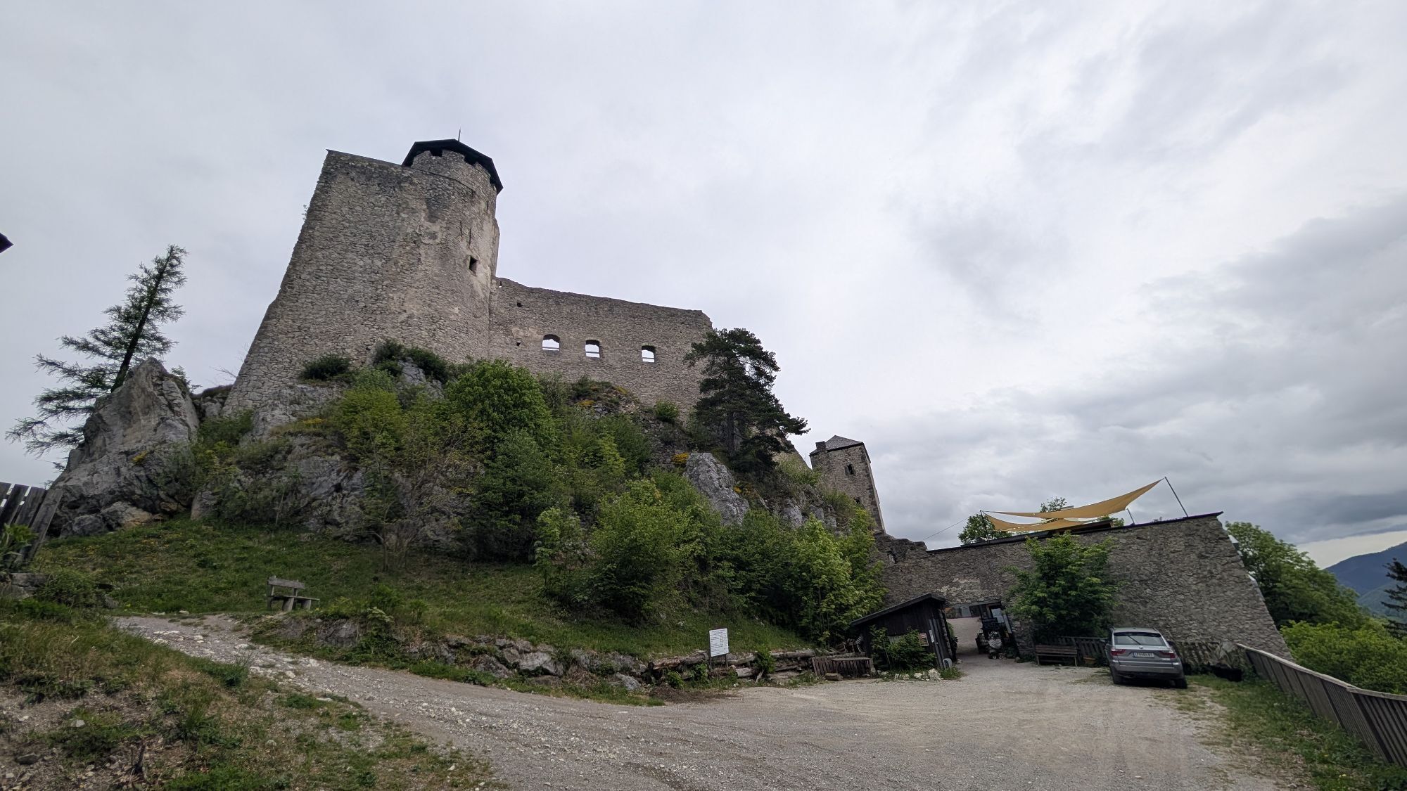
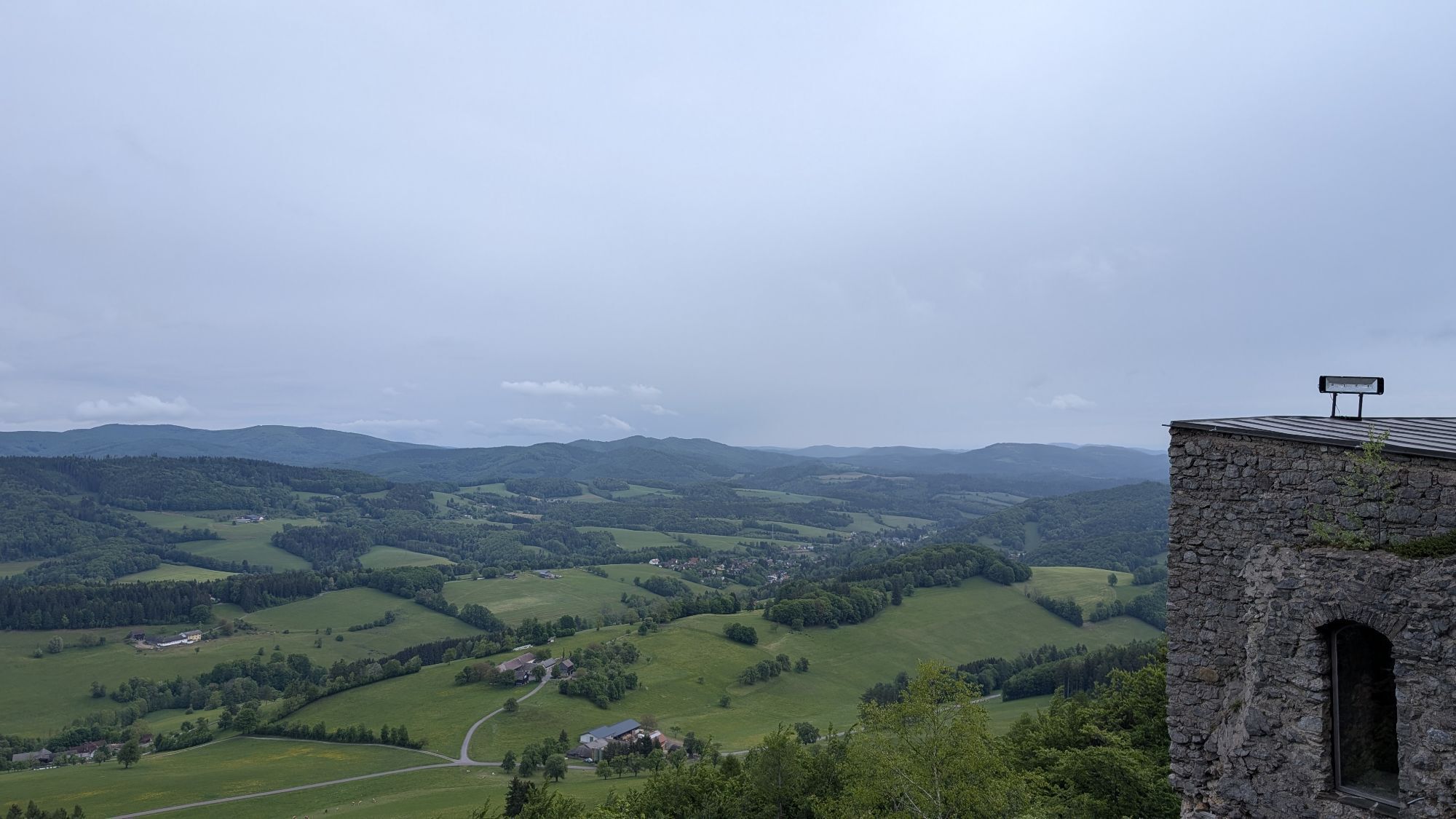
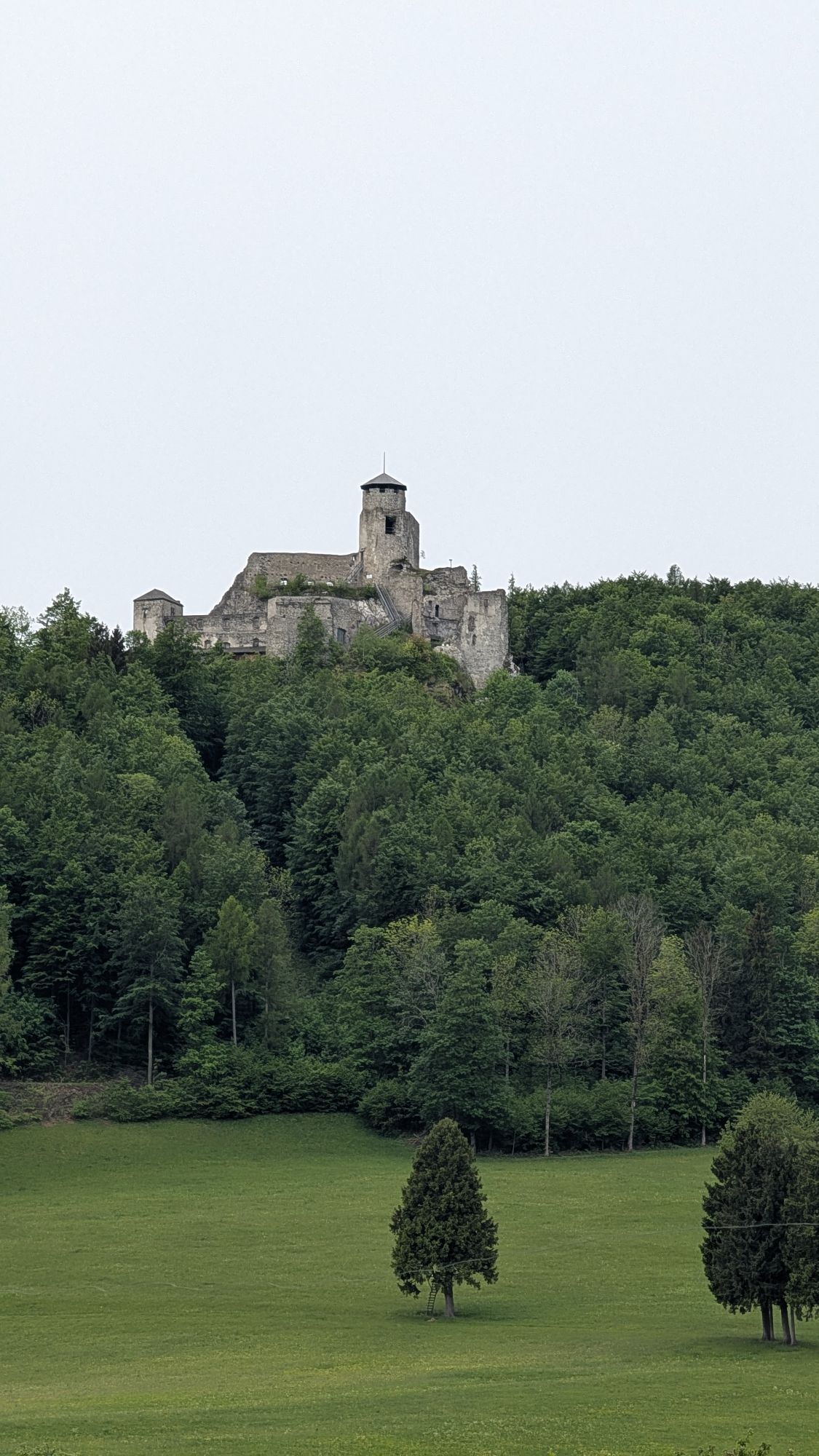
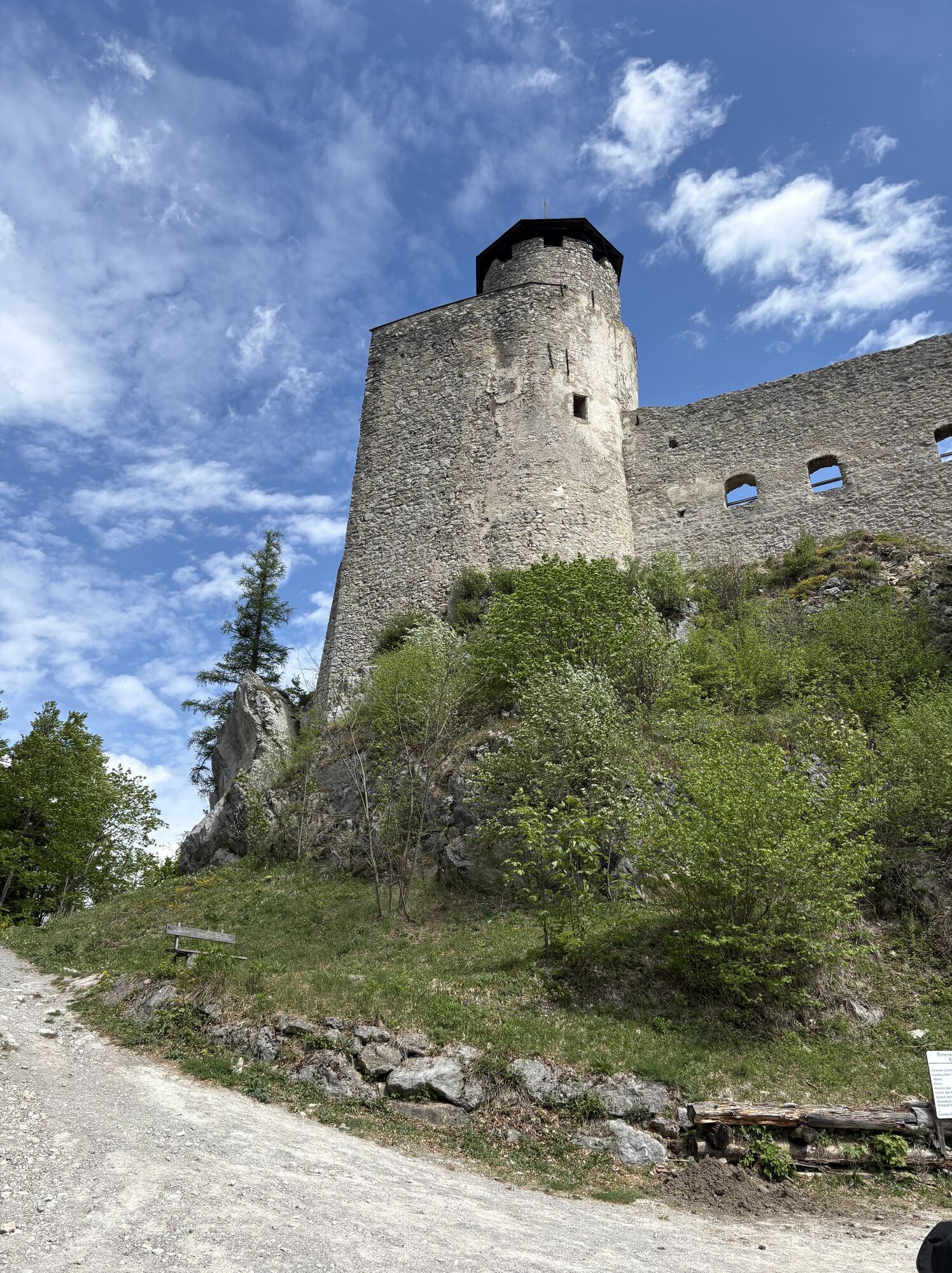
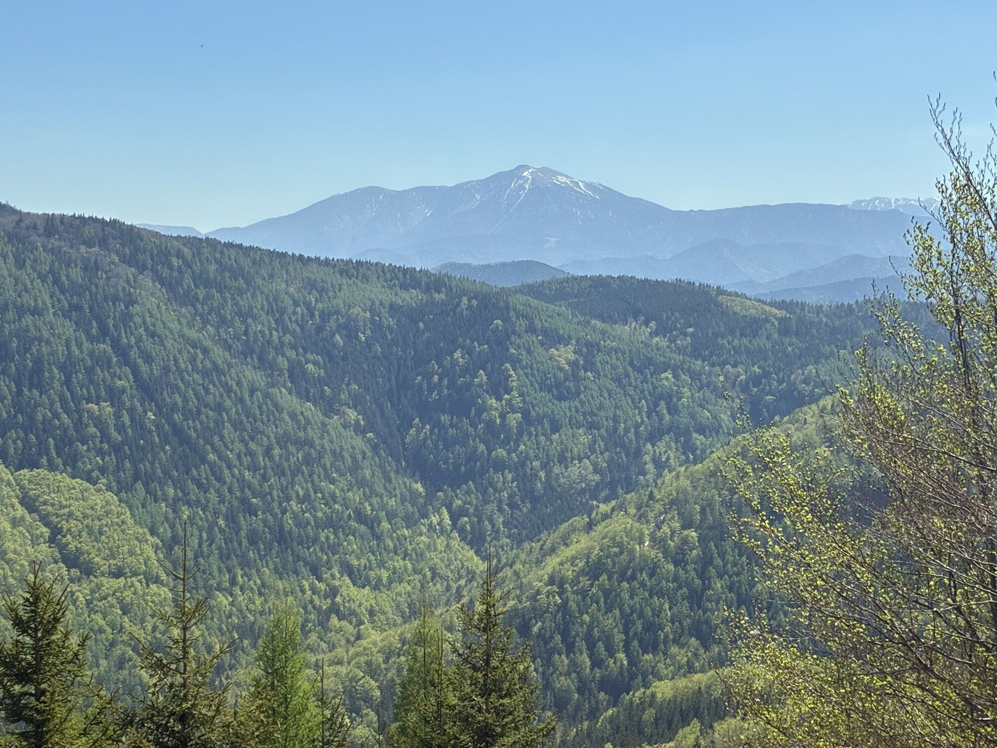
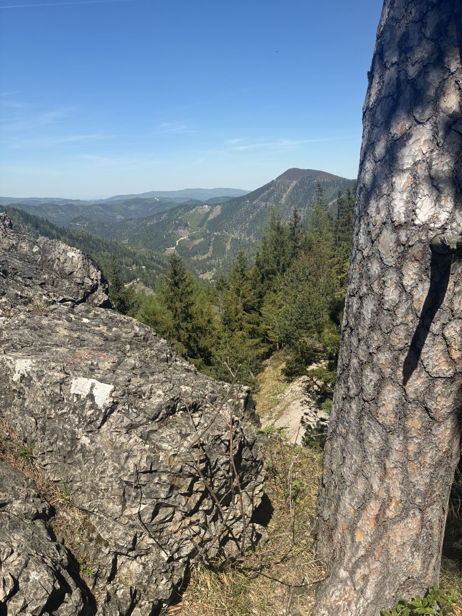
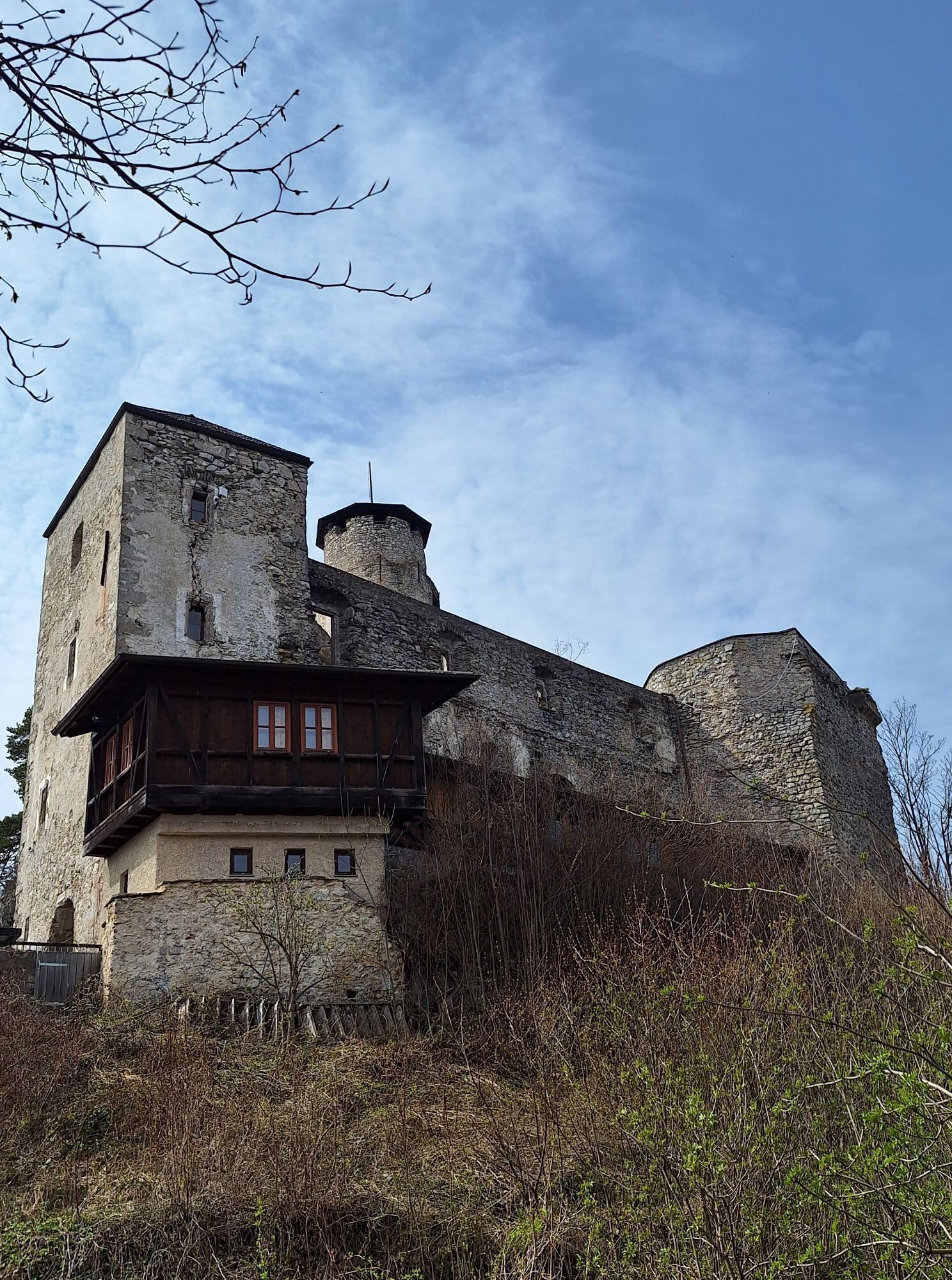
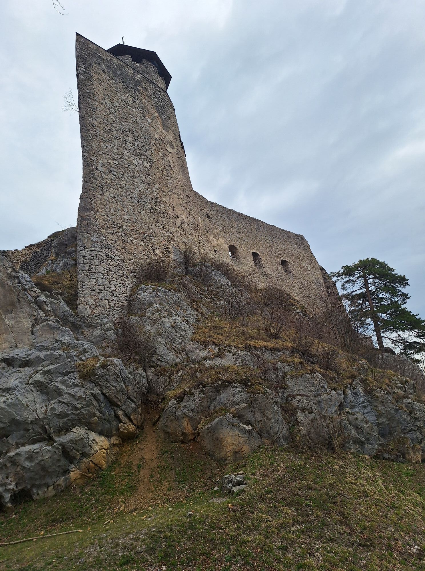
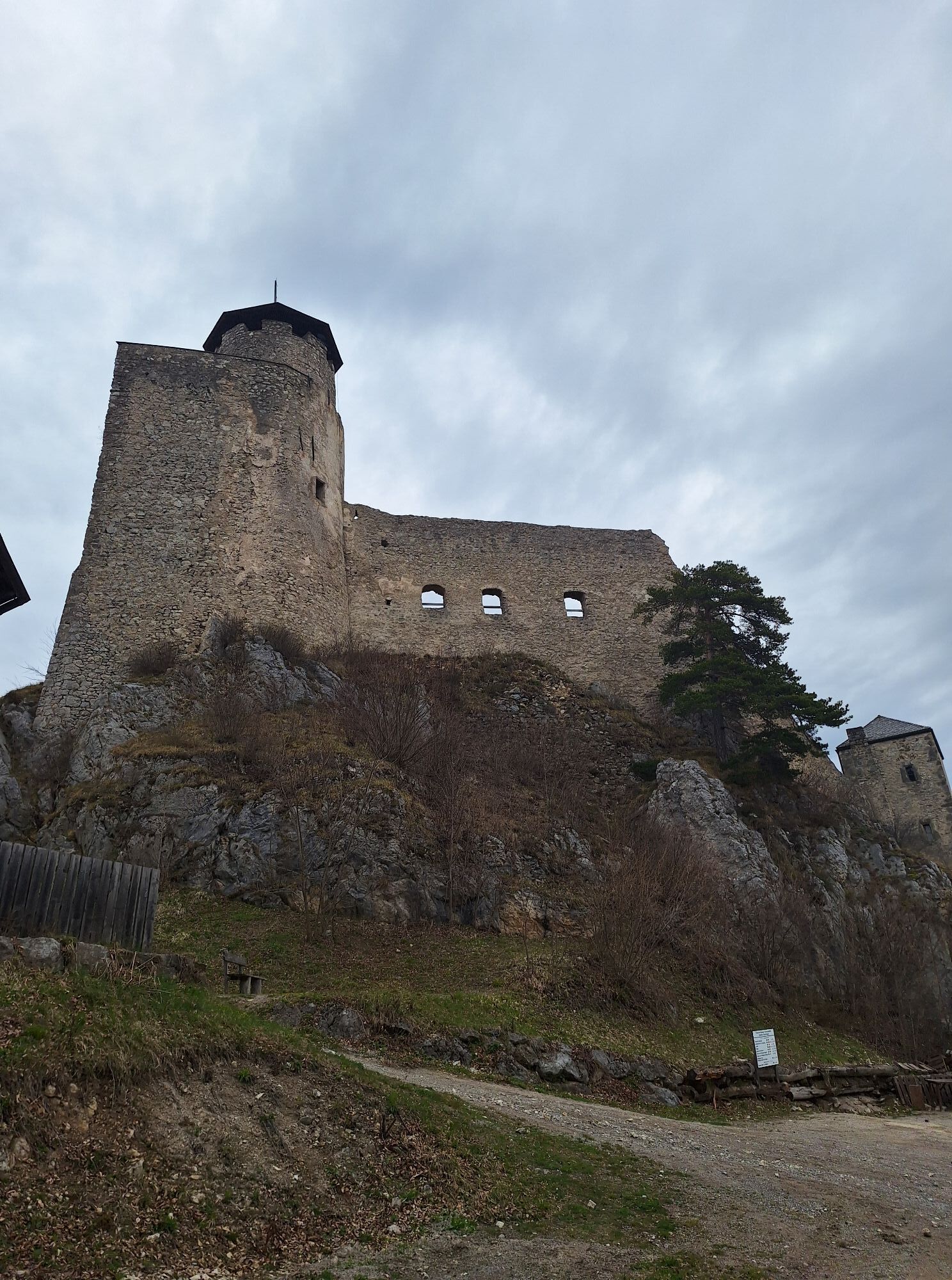
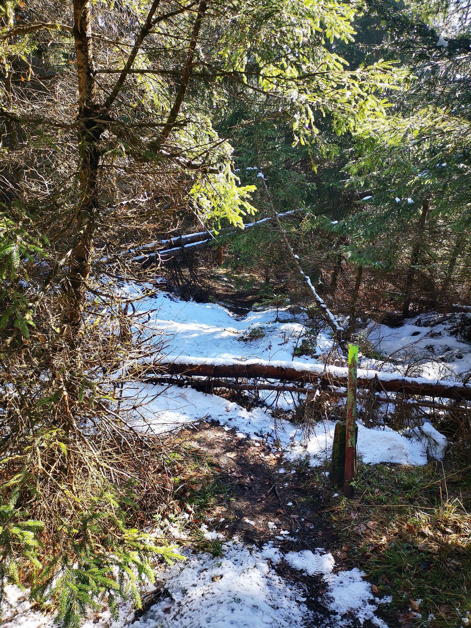
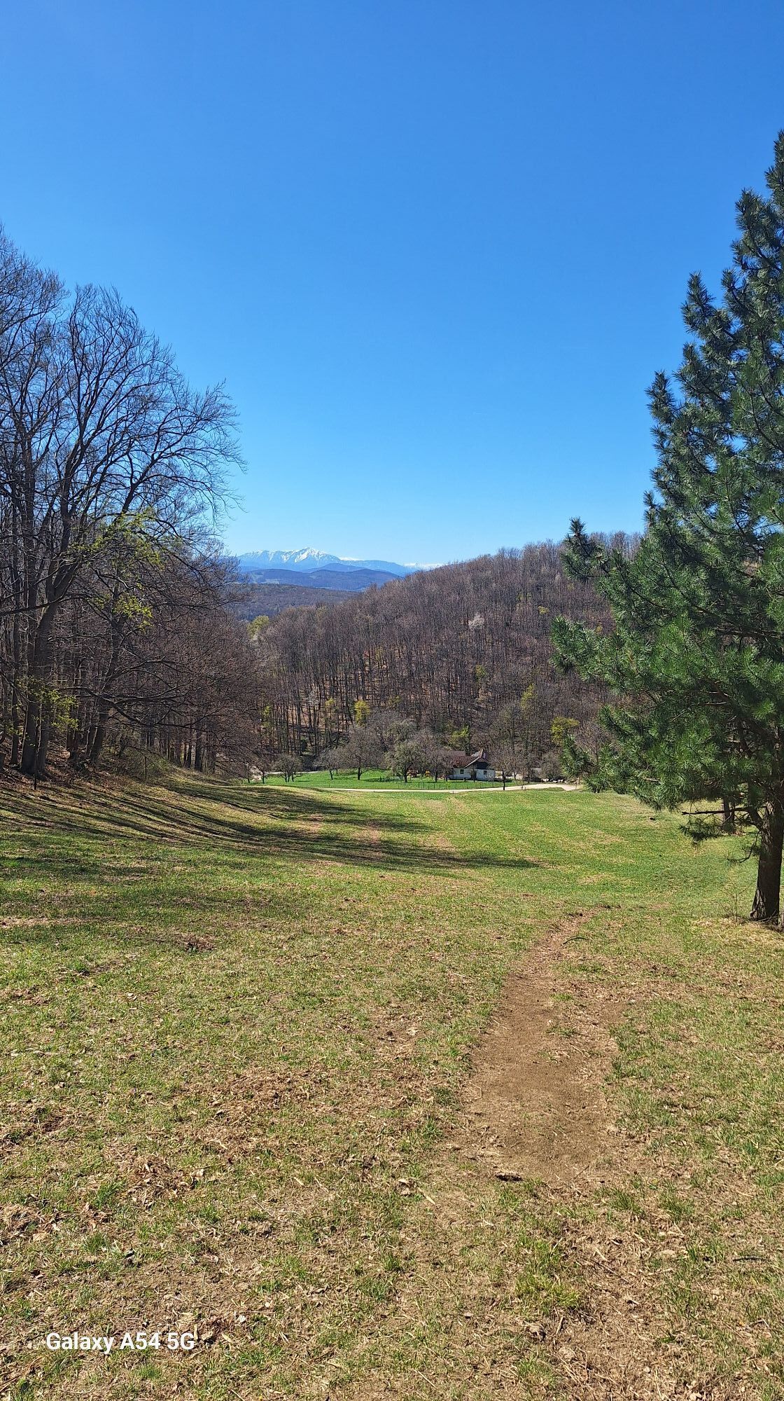
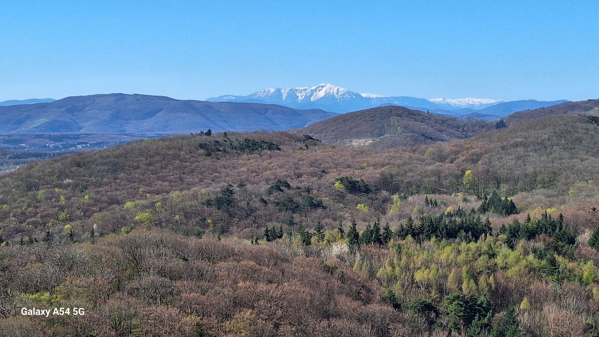
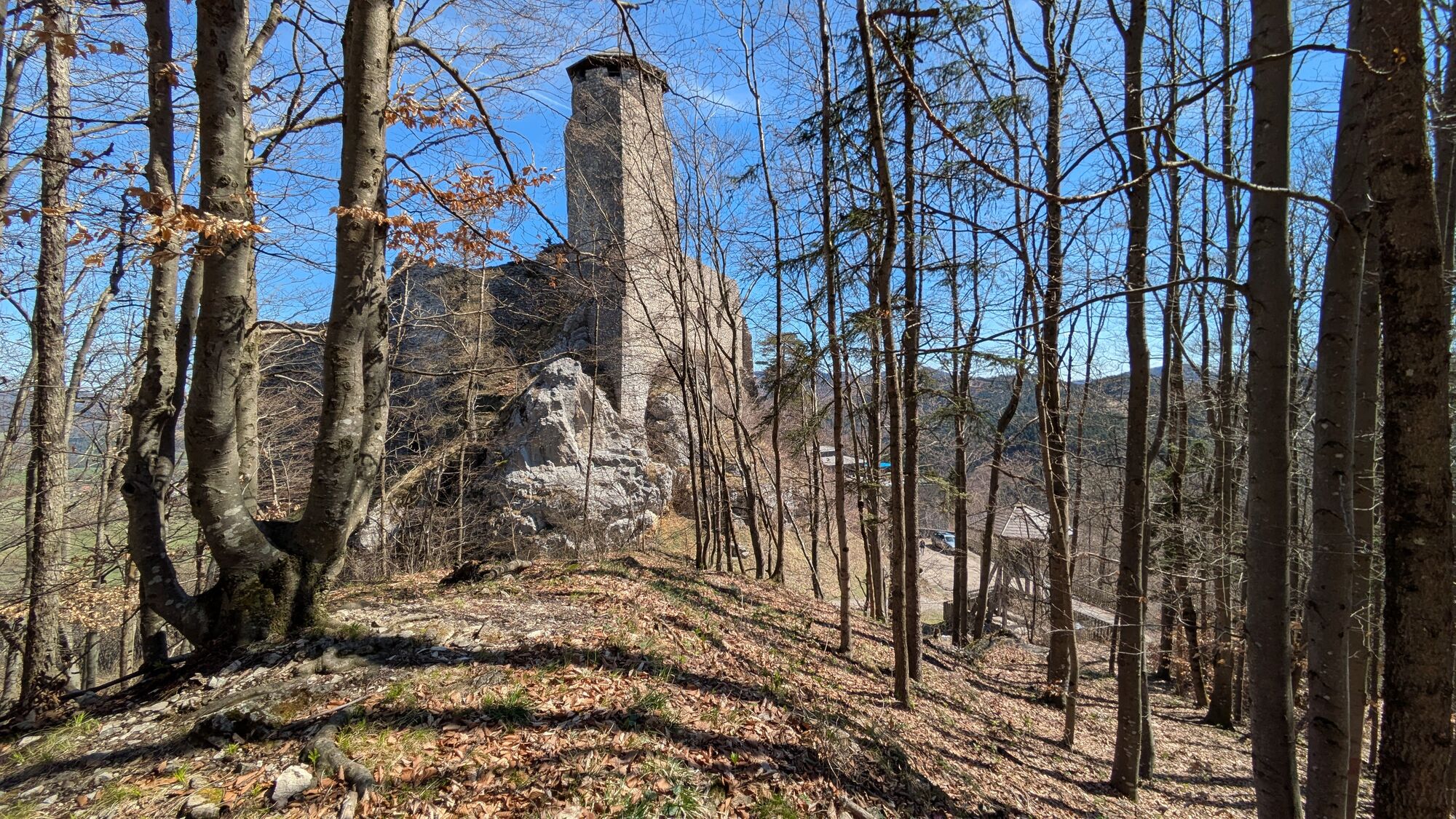
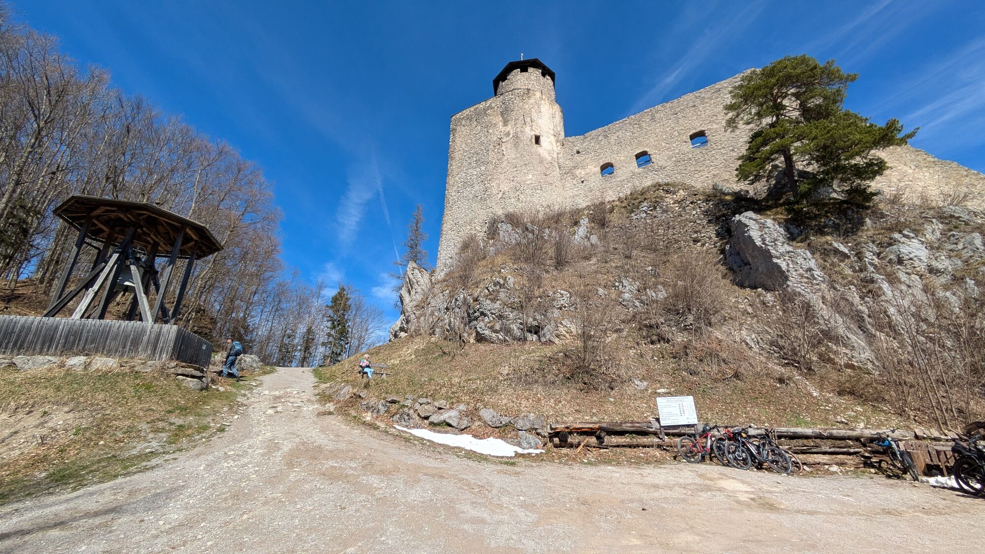
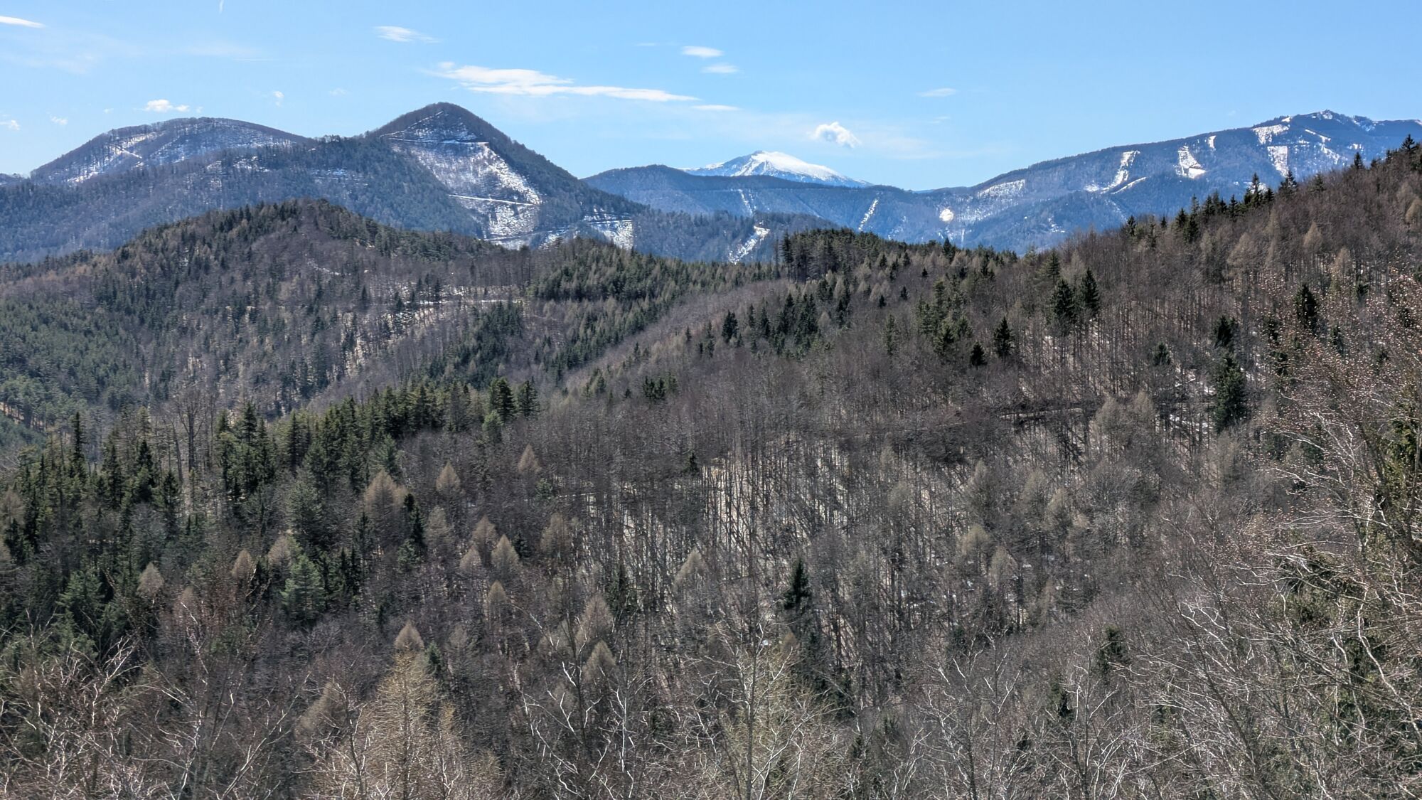
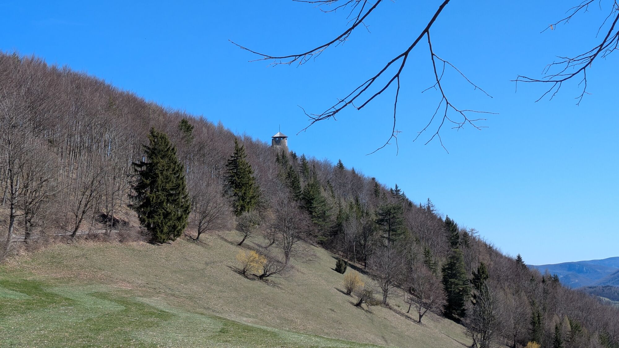
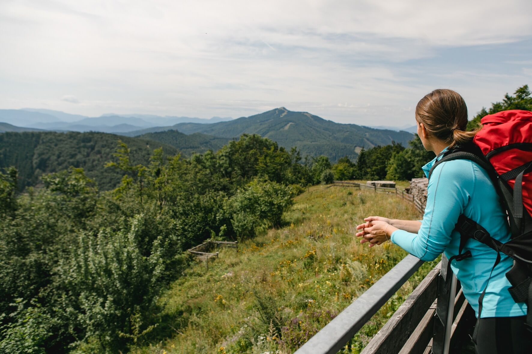
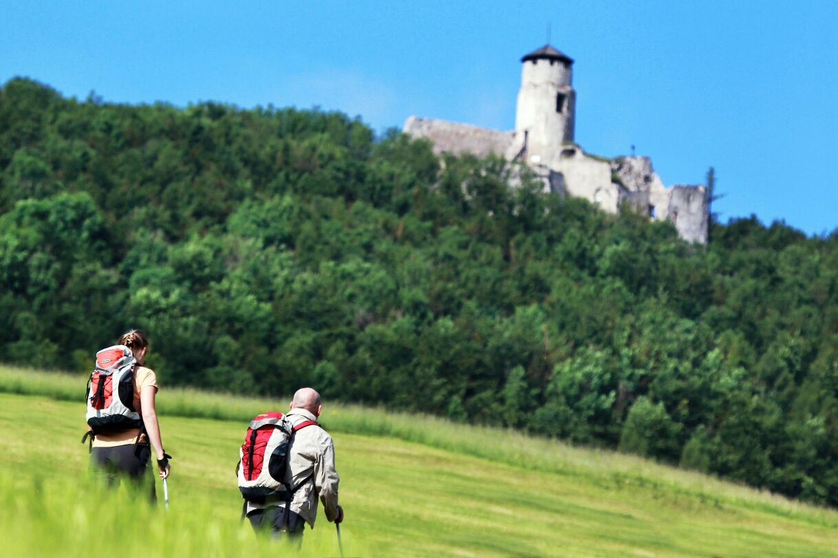
This stage is demanding and requires stamina and fitness: over the mountains several ascents and descents in total 1,309 ascent meters and 24.9 kilometers length! From Kaumberg you comfortably reach the picturesque ruins of Araburg. Shortly after, the Vienna Pilgrim Way leaves the common route with the Via Sacra (which continues into the Gölsental to Hainfeld) and turns south towards Rohr im Gebirge. There follows a longer lonely ridge hike with steep ascents over Veiglkogel and Reingupf to Kieneck with the Gentian hut (04:45 h). You are now on alpine terrain over 1,000 meters above sea level. Caution in bad weather. After the Gentian hut the route continues on alpine terrain to Bettelmann cross and the shelter on Unterberg (02:45 h). Here you have reached the alpine high point of this tour. Now it goes over forest paths down to the valley to the former inn Gries and alongside the road further to Rohr im Gebirge (03:15 h).
Day 4 stage: Rohr to St. Aegyd
Stage length: 20.6 km, ascents: 603 m, descents: 694 m, walking time: 07:15 h
A simple hiking trail leads from Rohr im Gebirge to Kalte Kuchl in Kleinzell with the Alpine inn Rieder (01:45 h). Attention: in good weather there are many motorcyclists here! From now on begins a hike in a scenically beautiful but very secluded area without catering options. From Kalte Kuchl with little altitude difference via Werasöd into the lonely grounds of the Green and Dry Schwarza (01:30 h). From Tiefental it goes through the Finstergrundgraben to the first slightly hilly upward section of this stage, over a saddle past the neobaroque castle Hochreit built in 1888 by Wittgenstein with a view into the Traisen valley (01:30 h). Over the Hochreit farm in Amt Mitterbach one reaches the Seebach valley. From the Mosbach farm one takes the local road to St. Aegyd, passes the station and soon reaches the center of St. Aegyd (02:30 h).
Day 5 stage: St. Aegyd to Mariazell
Stage length: 27.1 km, ascents: 869 m, descents: 586 m, walking time: 09:15 h
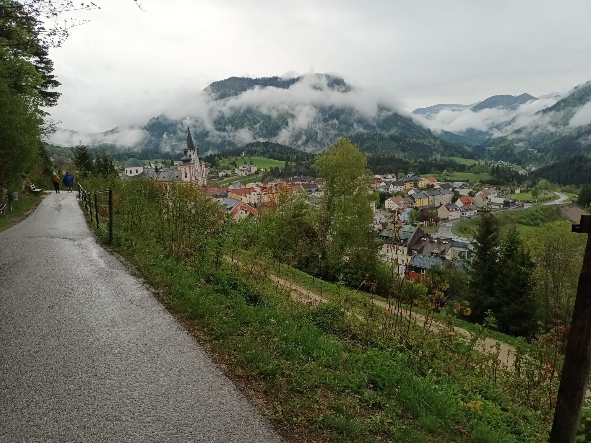
The forest ditch of the Unrechttraisen leads – increasing more steeply only at the end – to Kernhofer Gscheid (03:30 h). From St. Aegyd there is also the option to reach Gscheid via Kernhof. After Gscheid follows a road section, after which one turns into a forest road and enters Walster valley via Krumbach saddle (junction of Falkenschlucht trail from Türnitz). The route continues along Hubertus lake (on asphalt) to Bruder Klaus church (02:30 h). From here one walks westwards in Walster valley to the turnoff to the moderately strenuous Habertheuersattel. Once there, one descends to Sebastiani path and Rosary path and continues on this to the Mariazell pilgrimage church (03:15 h from Walstern).
Appropriate hiking equipment is necessary. Additionally, it must be considered that this is a multi-day hike.
Further information also at: https://www.viasacra.at/10-tipps-fuer-einsteiger
Easy hiking trails in the Vienna Woods, but more demanding paths in the foothills over Kieneck and Unterberg. Mostly forest roads and side streets from Rohr im Gebirge onwards. Duration: 5 days (the route can also be done in sporty four or comfortable six daily stages)
Walking times: The indicated walking times were calculated based on the German Alpine Club table. These are pure walking times, rounded to the nearest quarter hour.
Possible starting points: Perchtoldsdorf (from the parish church or forest sanatorium) or Vienna-Rodaun (line 60)
Perchtoldsdorf (from Vienna):
South motorway A2 towards Linz – continue on Vienna outer ring motorway A21 towards Linz/St. Pölten – exit Brunn am Gebirge – continue towards Perchtoldsdorf.
Suburban train line S3 or bus connection.
Vienna-Rodaun (from Vienna):
Vienna public transport, tram line 60 - terminus Vienna-Rodaun.
Mostviertel Tourismus GmbH
Töpper castle Neubruck, Neubruck 2/10, 3283 Scheibbs
T +43/7482/20 444
info@viasacra.at
www.viasacra.at
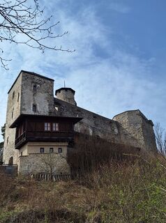
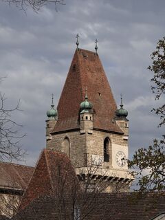
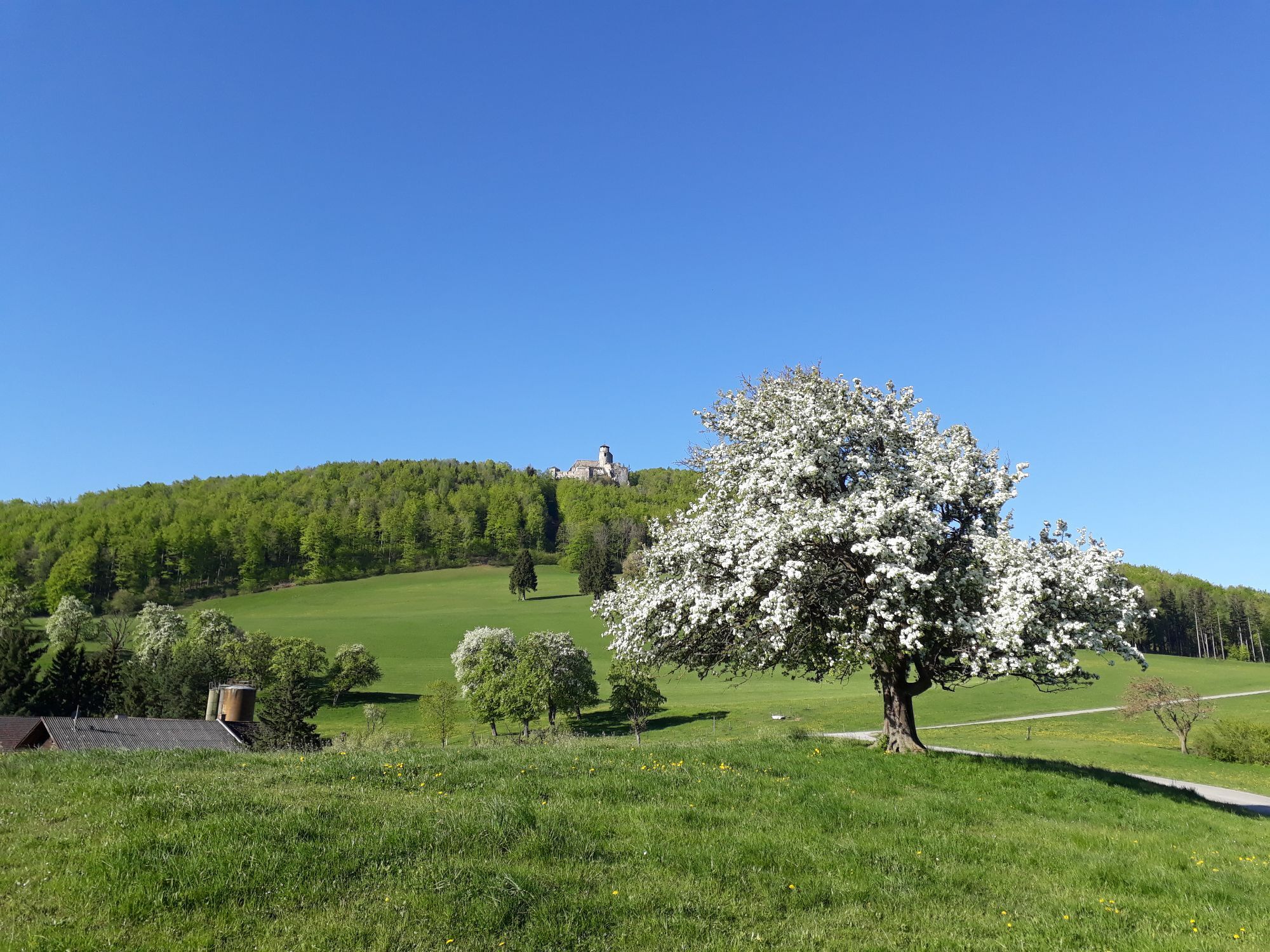
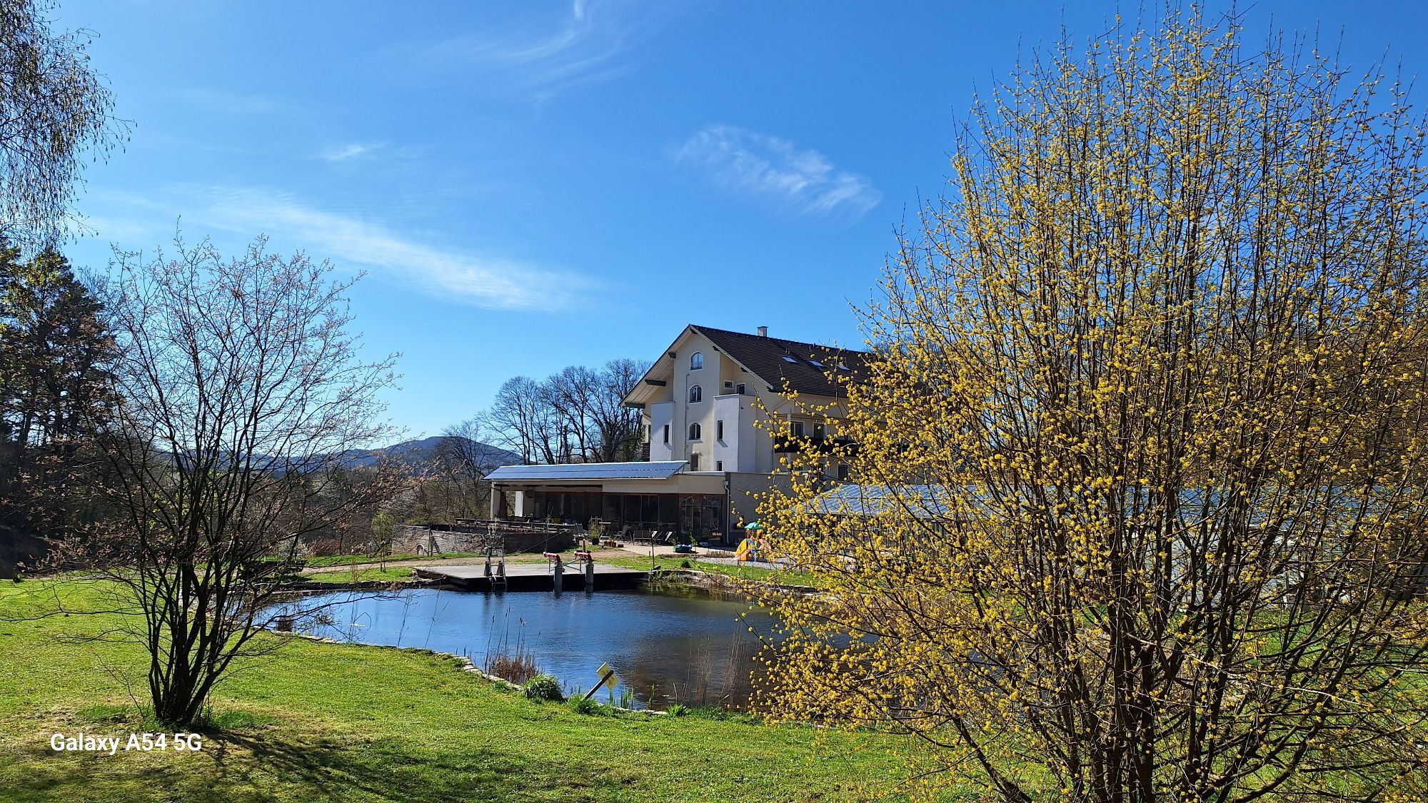
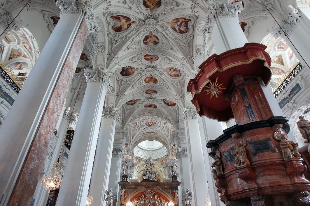
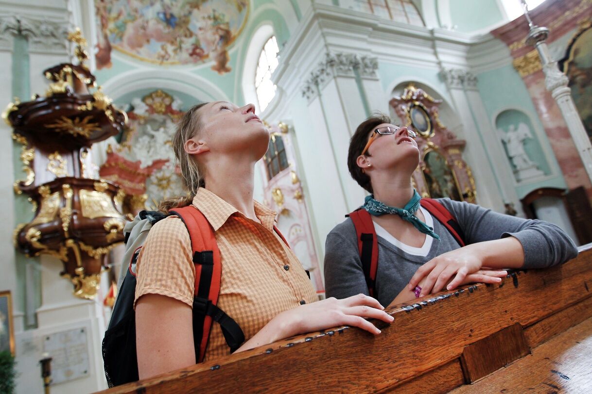
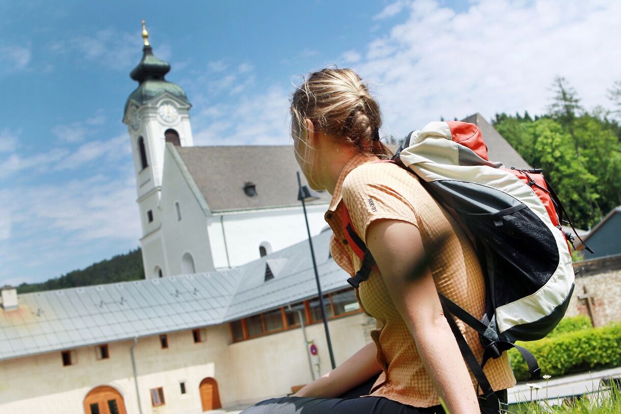
Parish church of St. Augustine in Perchtoldsdorf, Perchtoldsdorf castle, parish church of St. John the Baptist in Sittendorf, cemetery and Calvary hill in Heiligenkreuz, Cistercian abbey Heiligenkreuz, Carmelite Mayerling, pilgrimage church Hafnerberg, basilica Klein-Mariazell, parish church "St. John the Baptist" in Altenmarkt, pilgrimage church "To the suffering Savior in Dornau" in Thenneberg, parish church "St. Michael" in Kaumberg, local history museum Kaumberg, Steinwand gorge, Myra waterfalls, St. Vincent chapel in Thal, Araburg castle ruins, chapel on Unterberg, parish church of St. Ulrich in Rohr im Gebirge, Via Sacra and woodcutter museum at the Kalte Kuchl, Art Nouveau style Protestant forest church in St. Aegyd, Bruder Klaus church in the Walstern, Arthur Krupp monument path, Kreuzberg “Luckertes Kreuz” (cultic passage custom), basilica in Mariazell
Recommended literature
Via Sacra hiking guide – Vienna Pilgrim Way, www.mostviertel.at
Pilgrimage routes to Mariazell, www.styriabooks.at
Mariazell region and Ötscher, www.residenzverlag.at
Webcams del recorrido
-
Mariazeller Bürgeralpe - Berggasthof
-
Zuckerwiese
-
Gemeindealpe Mittelstation
-
Sternwarte
-
Mariazell
-
Gemeindealpe Mittelstation
-
Mittelstation Gemeindealpe
-
Gemeindealpe Talstation
-
Flugplatz St. Sebastian
-
JUFA Sigmundsberg
-
Marktplatz Perchtoldsdorf
-
Snowpark Gemeindealpe
-
Birkihang
-
Bürgeralpe - Kristallsee
-
Kernhof - St. Aegyd am Neuwalde
-
Kernhof - St. Aegyd am Neuwalde
-
Thenneberg
-
Mariazeller Bürgeralpe - Berggasthof
-
Enzianhütte Kieneck
-
Mariazell
-
Mariazell
-
Feldbauer Mariazell
-
Mittelstation
-
Gemeindealpe Mittelstation
-
Gemeindealpe Mittelstation
-
Gemeindealpe Mittelstation
-
Gemeindealpe Mittelstation
-
Gemeindealpe Mittelstation
-
Gemeindealpe Mittelstation
-
Gemeindealpe Mittelstation
-
Schigebiet Unterberg
-
Mitterbach
-
Stapelhaus
-
Karnerboden-Lift
-
Mariazell - Chalets Monte Styria
-
Franz Ferdinand Hütte - Wienerwald bei Perchtoldsdorf
-
Hauptplatz
-
Basilika Mariazell
-
Flugplatz St. Sebastian
-
Zellerhüte - Mariazell
Rutas populares en los alrededores
-
4,8
LILIENFELD Grünes Tor Muckenkogel Hinteralm Klosteralm 20201025
medioSenderismo 11,7 km -
4,6
Kieneck über den Enziansteig
luzSenderismo 12,6 km -
4,6
Kieneck über Enziansteig & Mareschsteig
luzSenderismo 13,8 km -
4,5
Myrafälle + Steinwandklamm
medioSenderismo 9,53 km -
4,7
Mariahilfberg und seine Geheimnisse
luzSenderismo 5,37 km -
4,2
Unterberg vom Adamstal
medioSenderismo 14,6 km -
4,2
RAMSAU Sägewerk Wittmann Kieneck Reingupf retour 02.11.2017
medioSenderismo 14,6 km -
4,2
Hochstaff und Reisalpe
luzSenderismo 10,8 km -
4,8
Ruta circular Steinwandklamm
medioSenderismo 11,3 km -
5,0
Vom Parkplatz Myralucke auf den Unterberg - Angelos Touren
medioSenderismo 10,8 km

Senderismo y rastreo


No se pierda las ofertas y la inspiración para sus próximas vacaciones
Su dirección de correo electrónico se ha añadido a la lista de correo.