
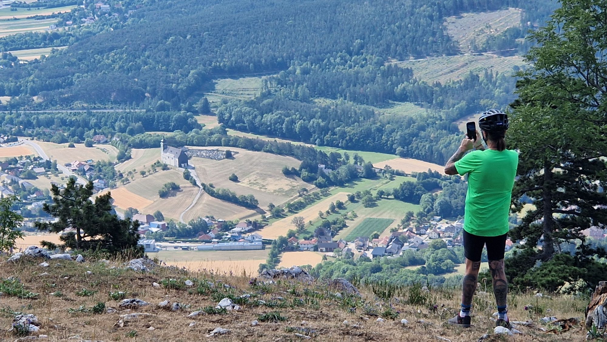
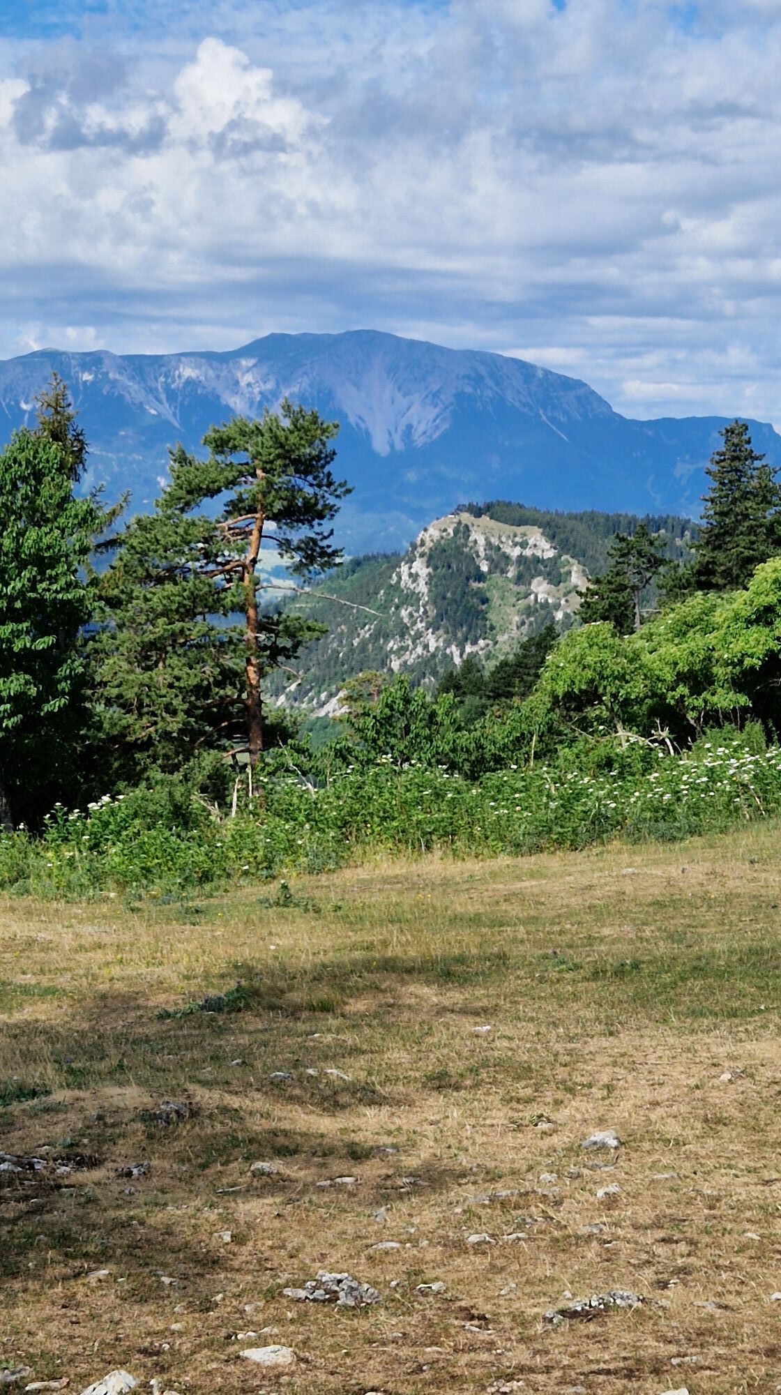
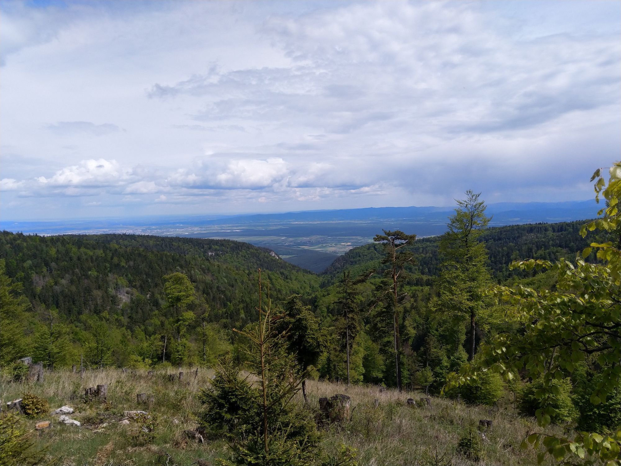
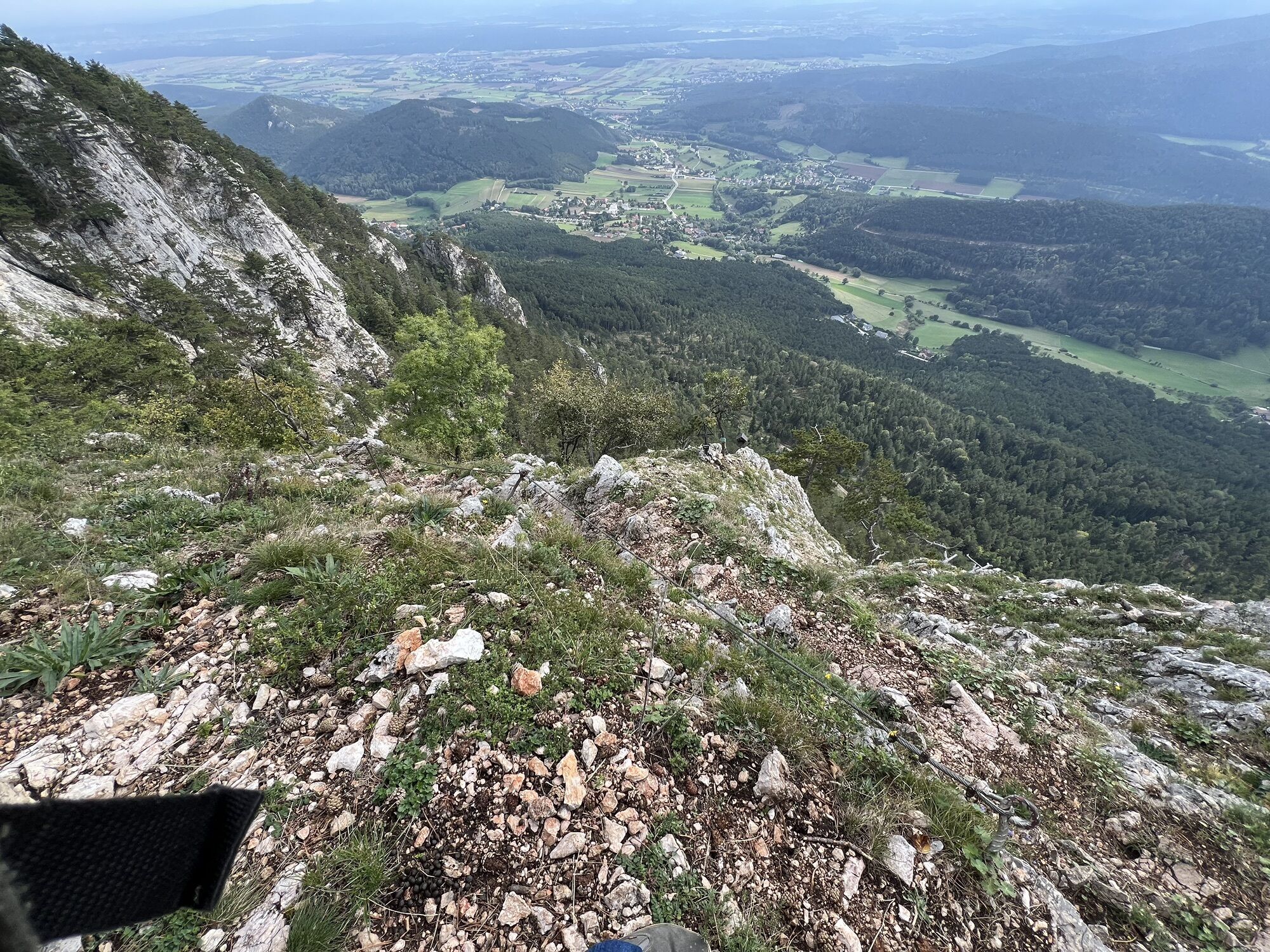
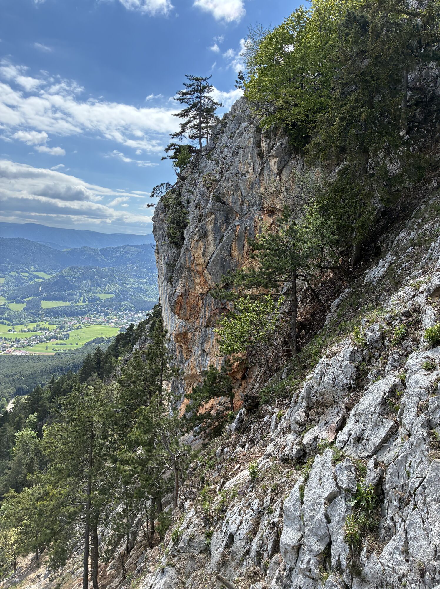
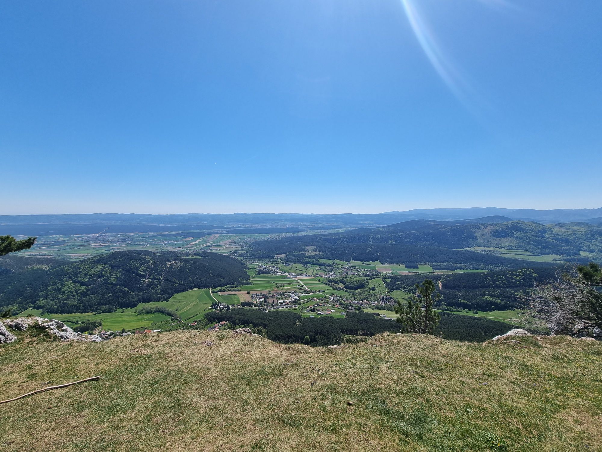
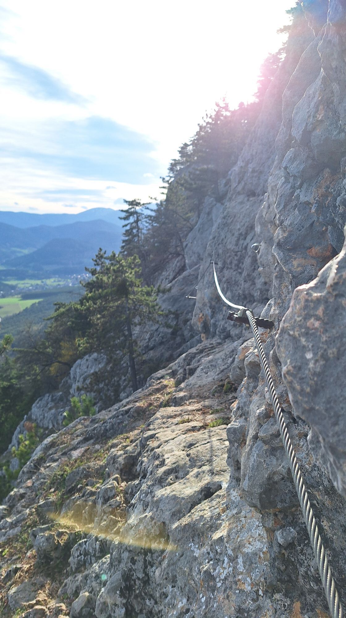
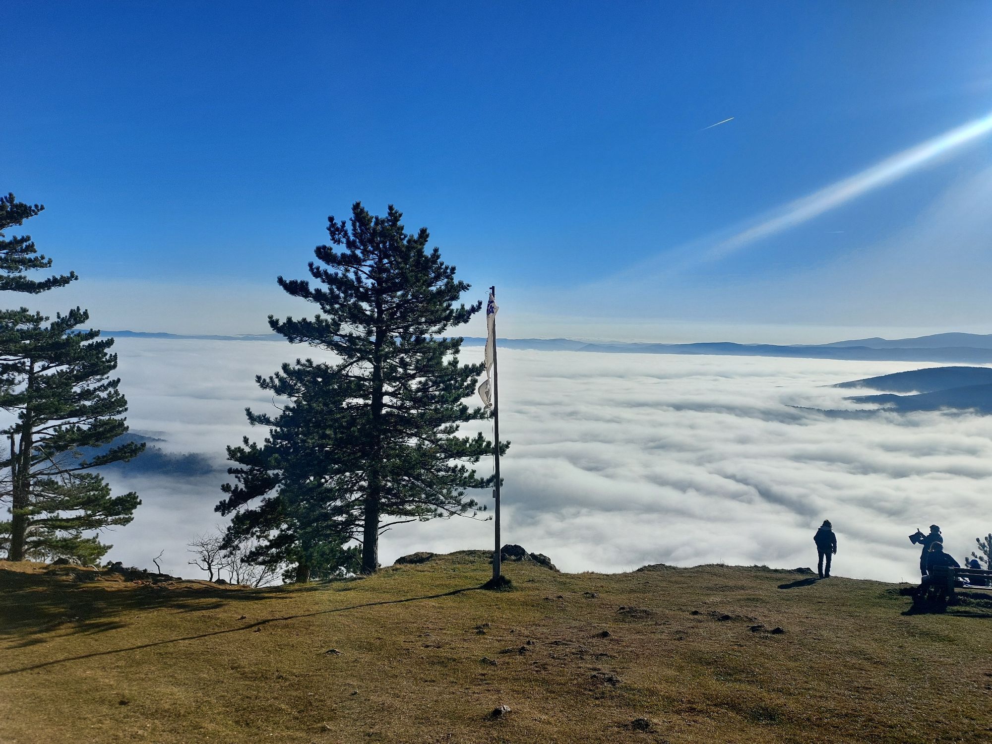
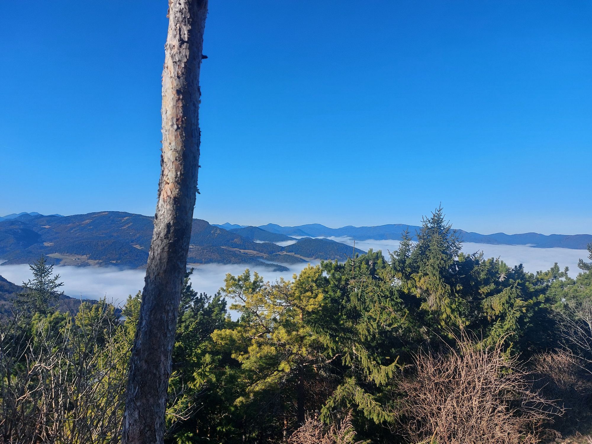
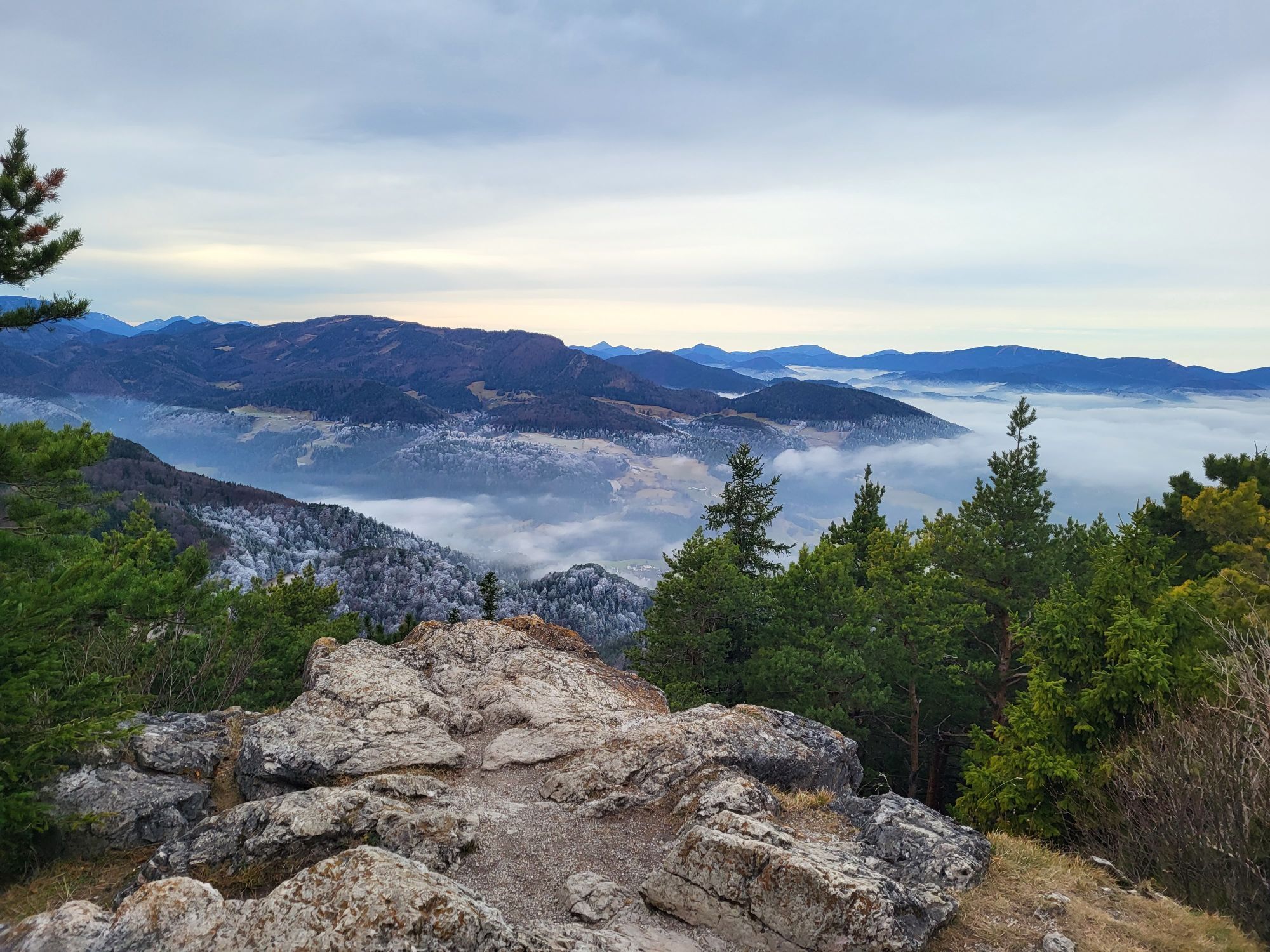
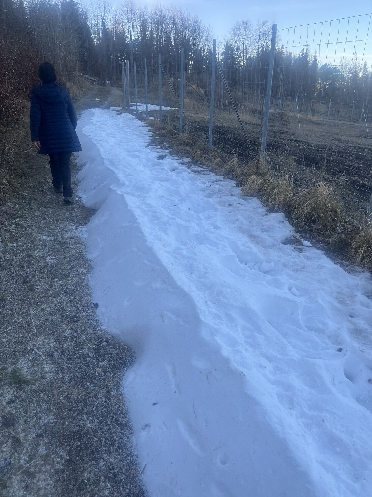
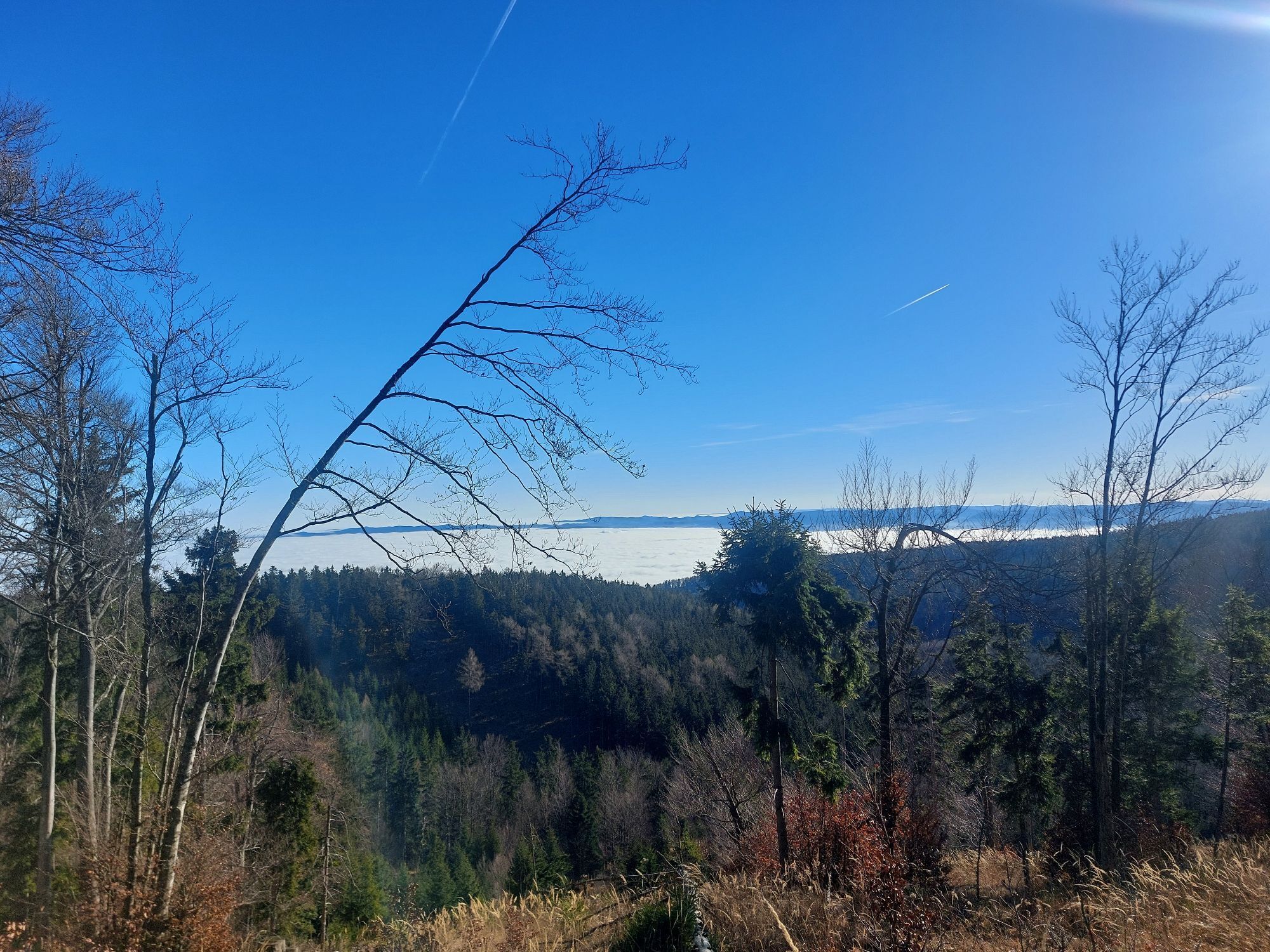
Waldegg Scheimhütte HoheWand Hüttentour Dreistetten Waldegg
medio
Consigue este tour en tu móvil
Waldegg Scheimhütte HoheWand Hüttentour Dreistetten Waldegg
medio
Mountainbike
28,35
km
Escanee el código QR e inicie la navegación en la aplicación bergfex

Senderismo y rastreo


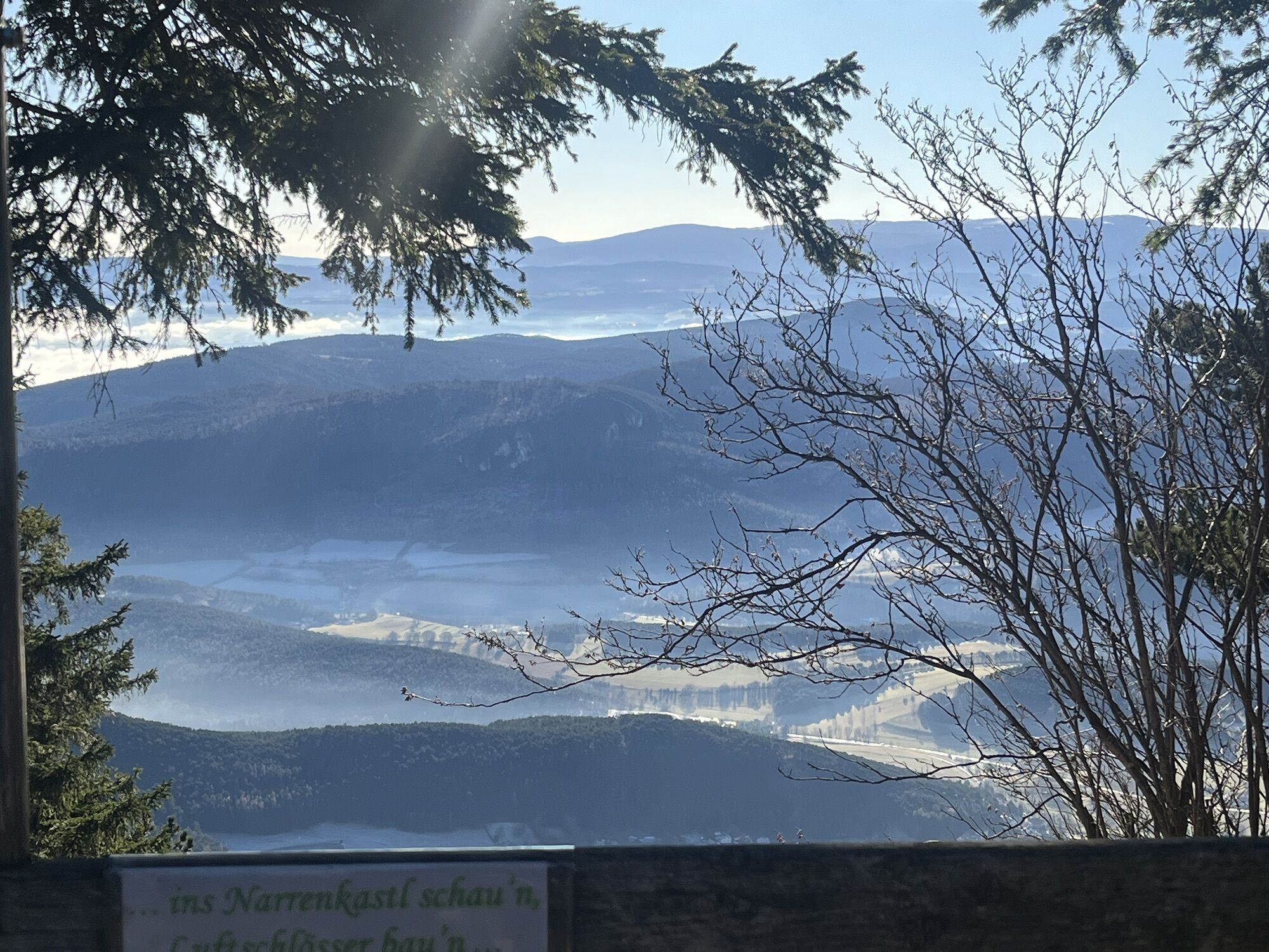
Waldegg Scheimhütte HoheWand Hüttentour Dreistetten Waldegg
medio
Distancia
28,35
km
Duración
03:57
h
Ascenso
976
m
Nivel del mar
385 -
1.121
m
Descarga de pistas
Waldegg Scheimhütte HoheWand Hüttentour Dreistetten Waldegg
medio
Mountainbike
28,35
km


Der Autor weist besonders darauf hin, dass sämtliche Touren auf manchen Teilen einem Fahrverbot unterliegen können. Auf diesen Teilen ist das Rad bzw. Mountainbike zu schieben. Jegliche Haftung für den...
Descripción de la
Der Autor weist besonders darauf hin, dass sämtliche Touren auf manchen Teilen einem Fahrverbot unterliegen können. Auf diesen Teilen ist das Rad bzw. Mountainbike zu schieben. Jegliche Haftung für den Autor ist ausgeschlossen.
Ruta
Waldegg
(402 m)
Pueblo
0,0 km
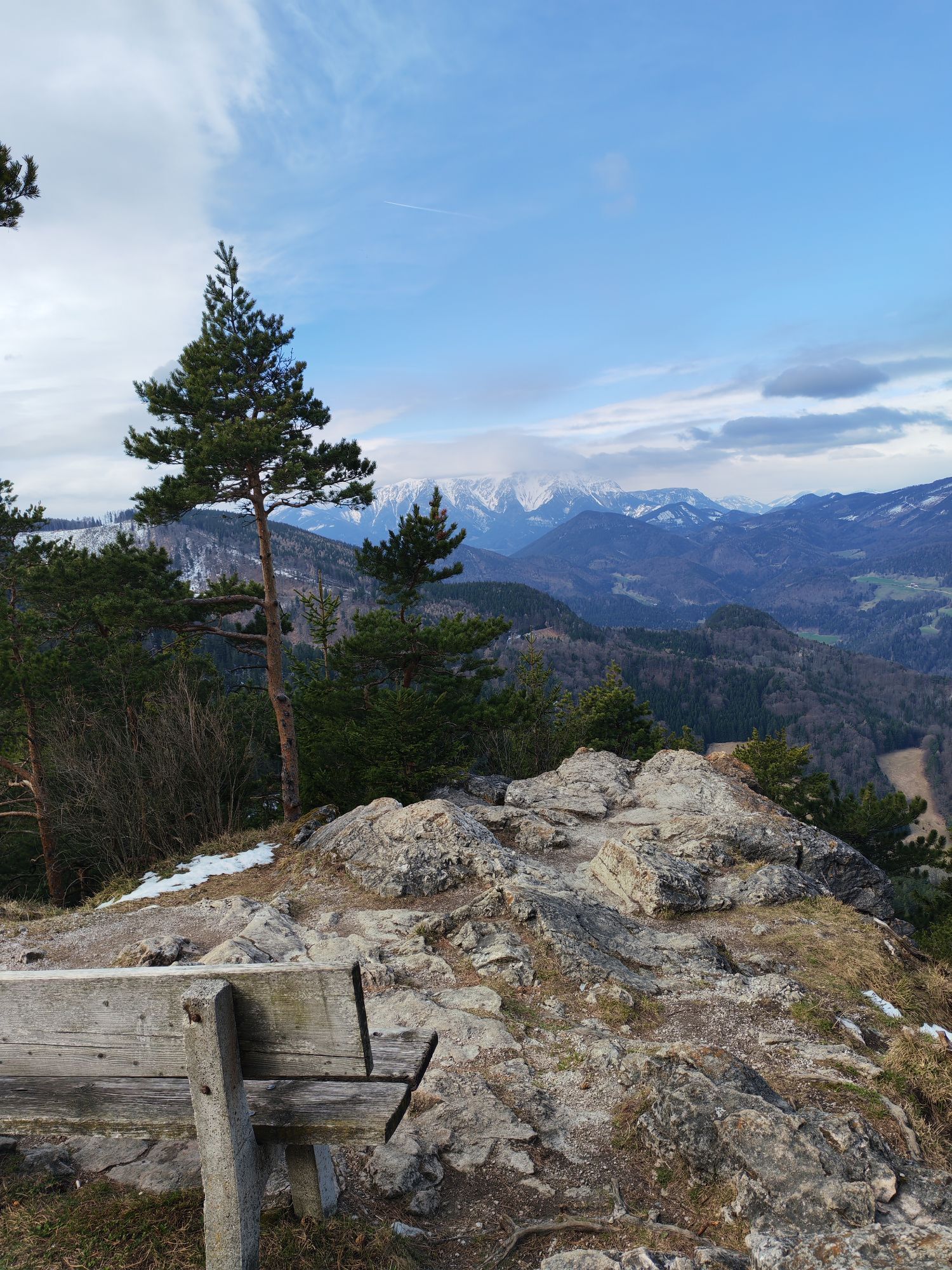
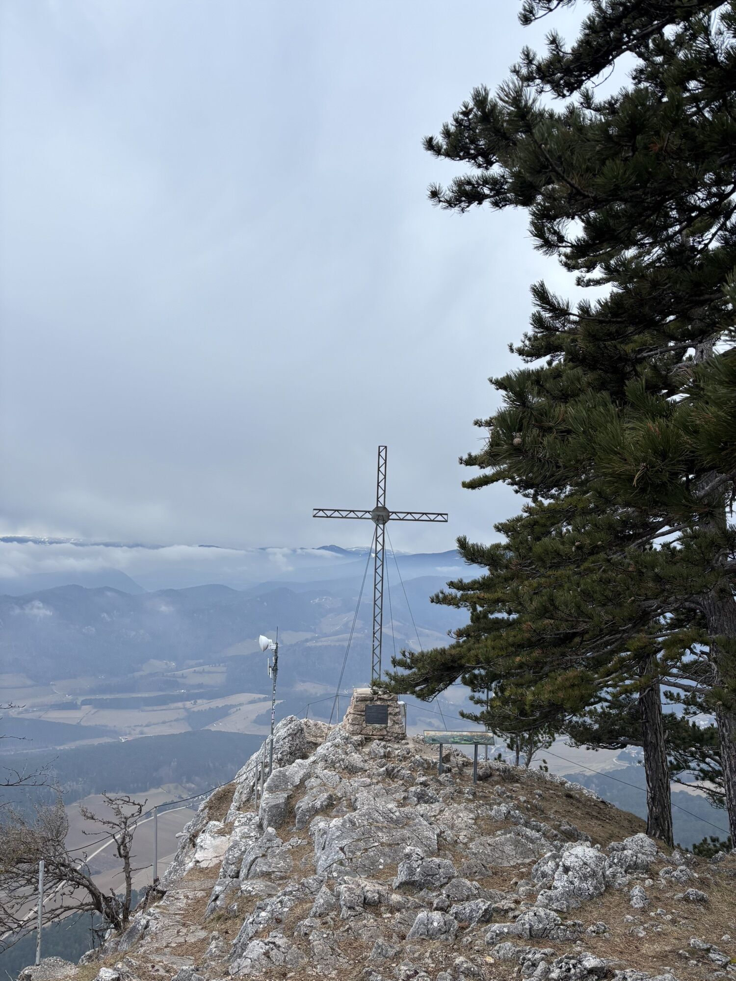
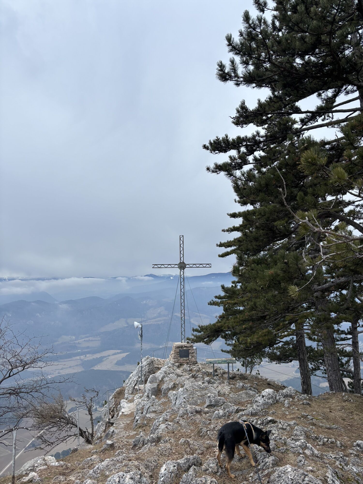
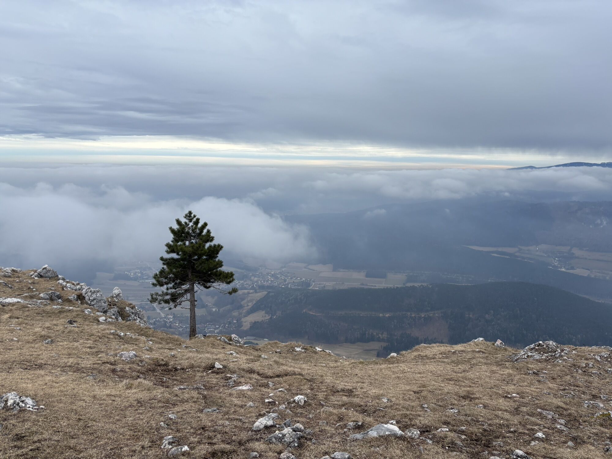
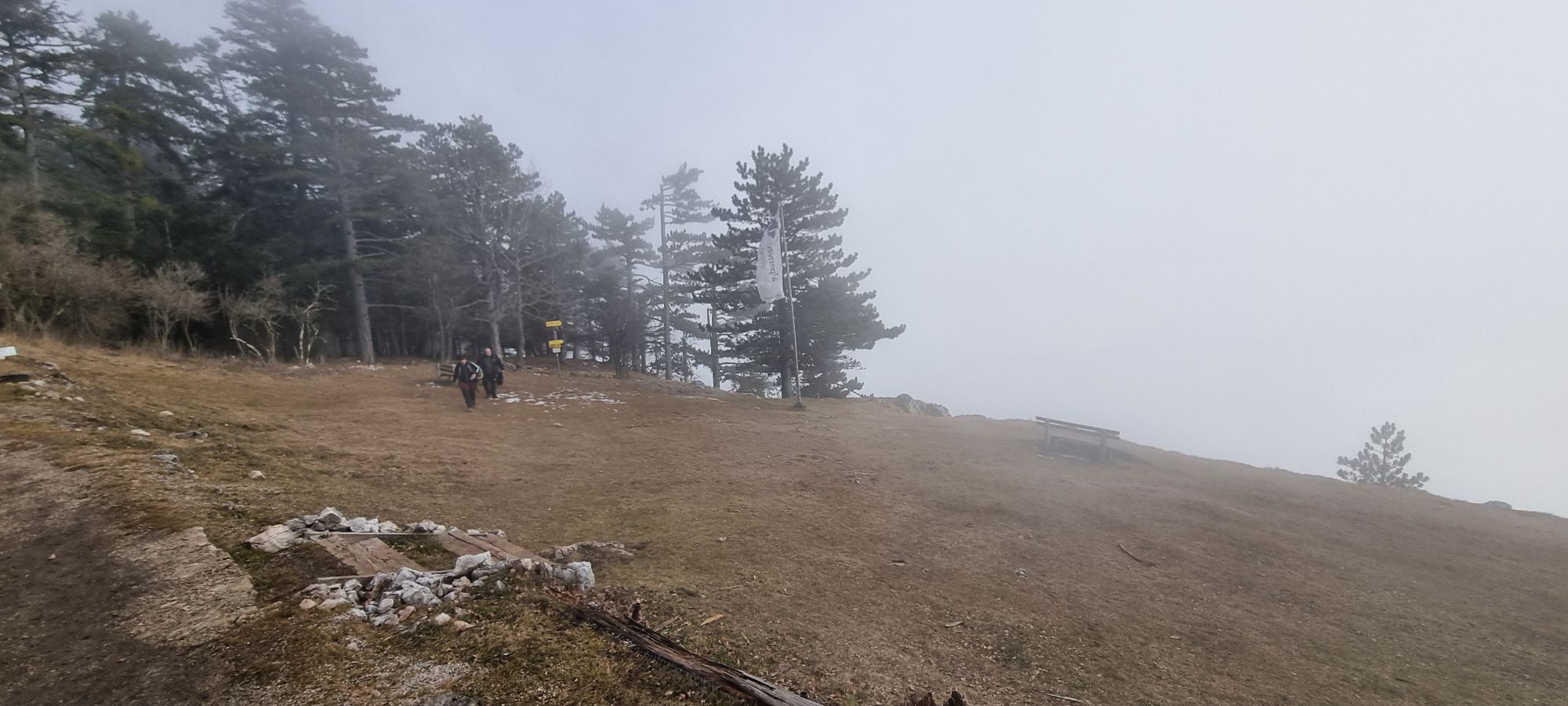
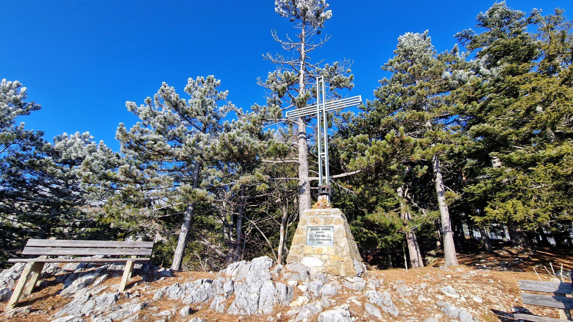
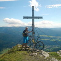
Kleine Kanzel
(1.092 m)
Cumbre
8,3 km
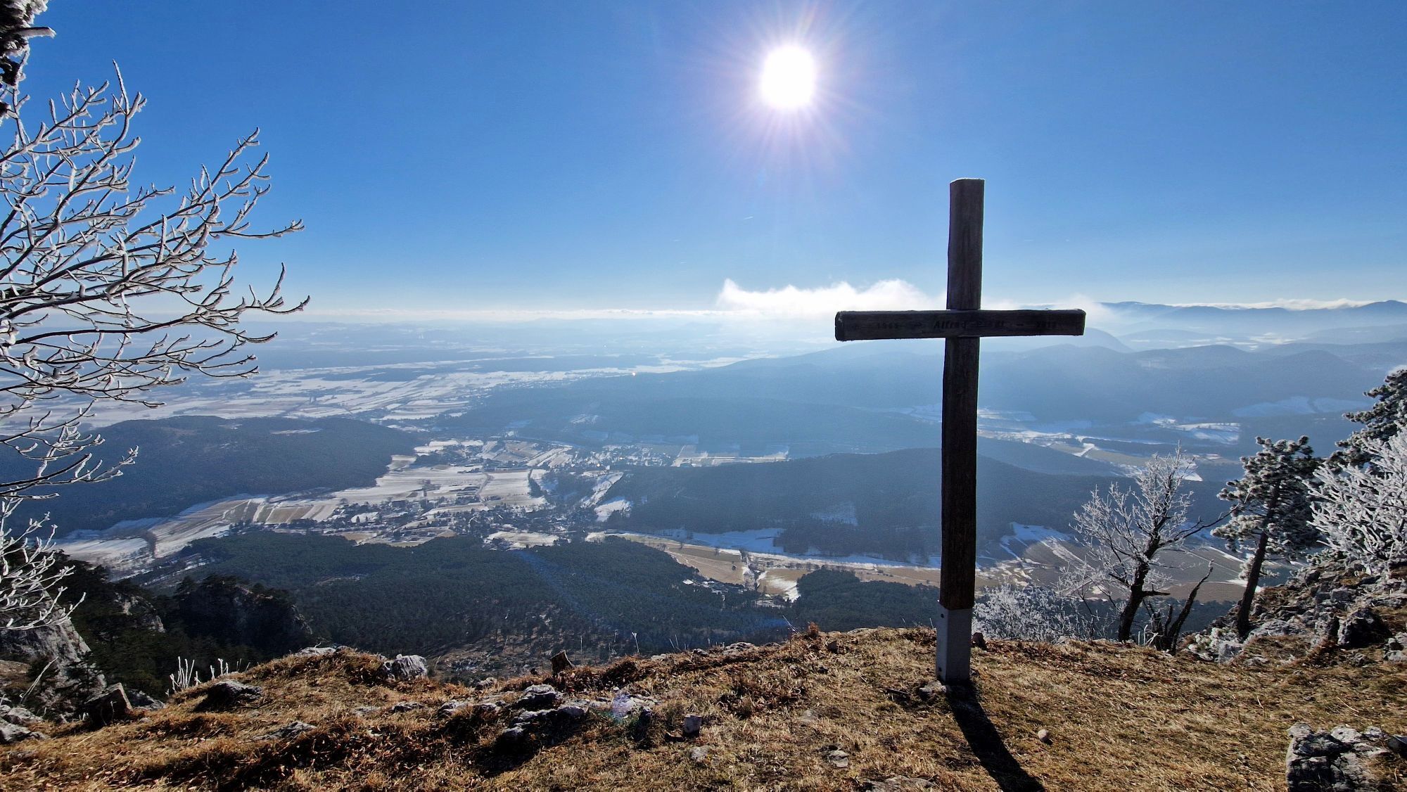
Kleiner Plackles
(1.102 m)
Cumbre
9,4 km
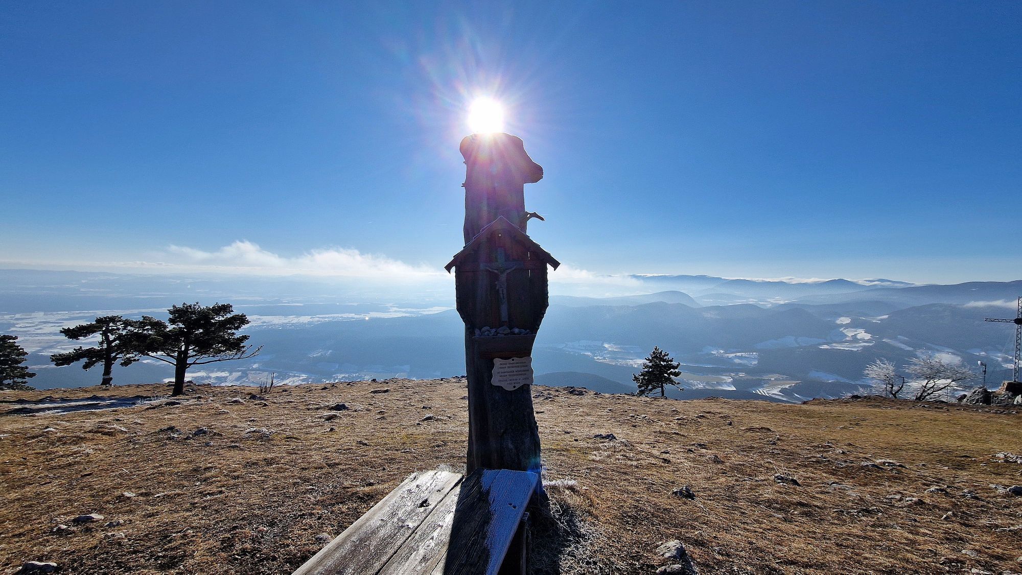
Plackles
(1.132 m)
Cumbre
10,7 km
Turmsteighütte
(994 m)
Refugio
12,2 km
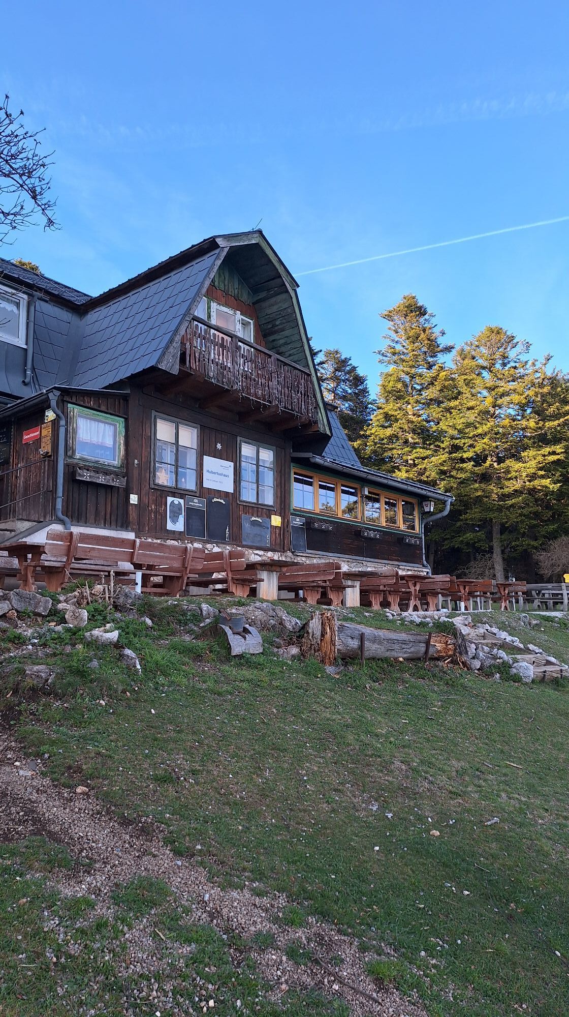
Hubertushaus
(946 m)
Refugio
12,9 km
Gipsloch
(793 m)
Entrada de la cueva
21,4 km
Ruta
Waldegg Scheimhütte HoheWand Hüttentour Dreistetten Waldegg
medio
Mountainbike
28,35
km
Waldegg
(402 m)
Pueblo
0,0 km
Dürnbacher Wasserfall
(501 m)
Cascada
1,6 km
Dürnbach
(476 m)
Liquidación
1,7 km
Gasthaus zur Kleinen Kanzel (aktuell geschlossen)
(1.063 m)
Restaurante
8,3 km
Kleine Kanzel
(1.092 m)
Cumbre
8,3 km
Kleiner Plackles
(1.102 m)
Cumbre
9,4 km
Wanddörfl
(1.060 m)
Liquidación
10,0 km
Plackles
(1.132 m)
Cumbre
10,7 km
Stützpunkt der Berg- und Naturwacht
(1.109 m)
Refugio
10,9 km
Eicherthütte
(1.053 m)
Refugio
11,4 km
Großmaulhöhle
(1.002 m)
Entrada de la cueva
11,9 km
Naglhöhle
(983 m)
Entrada de la cueva
12,0 km
Turmsteighütte
(994 m)
Refugio
12,2 km
Hubertushöhle
(932 m)
Entrada de la cueva
12,8 km
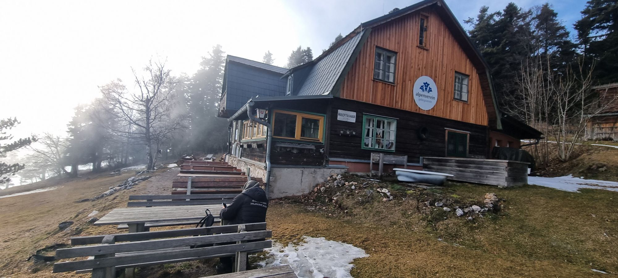
Hubertushaus
(946 m)
Refugio
12,9 km
Wanddörfl
(1.060 m)
Liquidación
14,7 km
Kleiner Plackles
(1.102 m)
Cumbre
15,2 km
Gasthaus zur Kleinen Kanzel (aktuell geschlossen)
(1.063 m)
Restaurante
16,3 km
Kleine Kanzel
(1.092 m)
Cumbre
16,4 km
Gipsloch
(793 m)
Entrada de la cueva
21,4 km
Dürnbach
(476 m)
Liquidación
26,6 km
Waldegg
(402 m)
Pueblo
28,3 km
Compartir gira
Waldegg Scheimhütte HoheWand Hüttentour Dreistetten Waldegg
medio
Mountainbike
28,35
km
Error
Se ha producido un error. Por favor, inténtelo de nuevo.


Valoraciones
Webcams del recorrido
Rutas populares en los alrededores
-
4,8
Flatzer Wand Wanderung
luzSenderismo 5,62 km -
4,8
ÖTK Klettersteig (vormals HTL Klettersteig) und Blutspur (D/E)
pesadoVía ferrata 1,41 km -
4,8
Hohe Wand: Babygrat (1+), Rundwanderung und Wagnersteig (A)
pesadoSenderismo 11,8 km -
4,8
Losenheim - Maumauwiesen - Sebastianfall - Losenheim
medioSenderismo 8,32 km -
4,8
Hohe Wand Wagnersteig - Springlessteig
medioSenderismo 5,59 km -
4,7
Hohe Wand: Grafenbergweg - Große Kanzel - Rastkreuz - Gländ
medioSenderismo 9,03 km -
4,6
Prigglitz - Pottschacher Hütte - Rote Wand - Prigglitz
luzSenderismo 8,80 km -
4,6
Grünbach - Eselsteig - Geländ
luzSenderismo 5,22 km -
4,6
Bergstation Hochschneeberg - Klosterwappen - Bahnhof Puchberg am Schneeberg
medioSenderismo 16,8 km -
4,6
"Waxriegel 1888m" - Schneebergdörfl - Niederösterreich / Österreich
luzSenderismo 14,2 km
Senderismo y rastreo

Más de 550.000 sugerencias de excursiones, mapas detallados y un intuitivo planificador de rutas hacen de esta aplicación una herramienta imprescindible para todos los amantes de la naturaleza.

No se pierda las ofertas y la inspiración para sus próximas vacaciones
Suscribirse al boletín de noticias
Error
Se ha producido un error. Por favor, inténtelo de nuevo.
Gracias por inscribirse
Su dirección de correo electrónico se ha añadido a la lista de correo.
Viajes por Europa
Austria
Suiza
Alemania
Italia
Eslovenia
Francia
Países Bajos
Belgium
Polonia
Liechtenstein
República Checa
Slovakia
España
Croacia
Bosnia y Herzegovina
Luxemburgo
Andorra
Portugal
Iceland
United Kingdom
Ireland
Greece
Albania
North Macedonia
Malta
Norway
Montenegro
Moldova
Kosovo
Hungary
San Marino
Romania
Estonia
Latvia
Belarus
Cyprus
Lithuania
Serbia
Bulgaria
Monaco
Denmark
Sweden
Finland