






Wilhelminenberg route
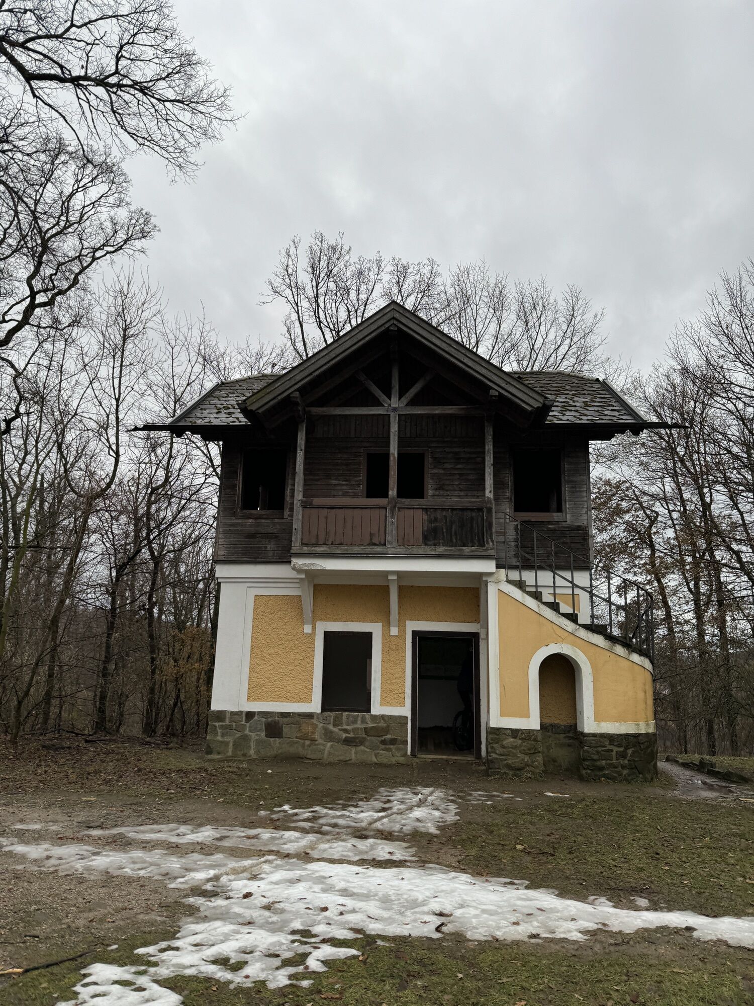
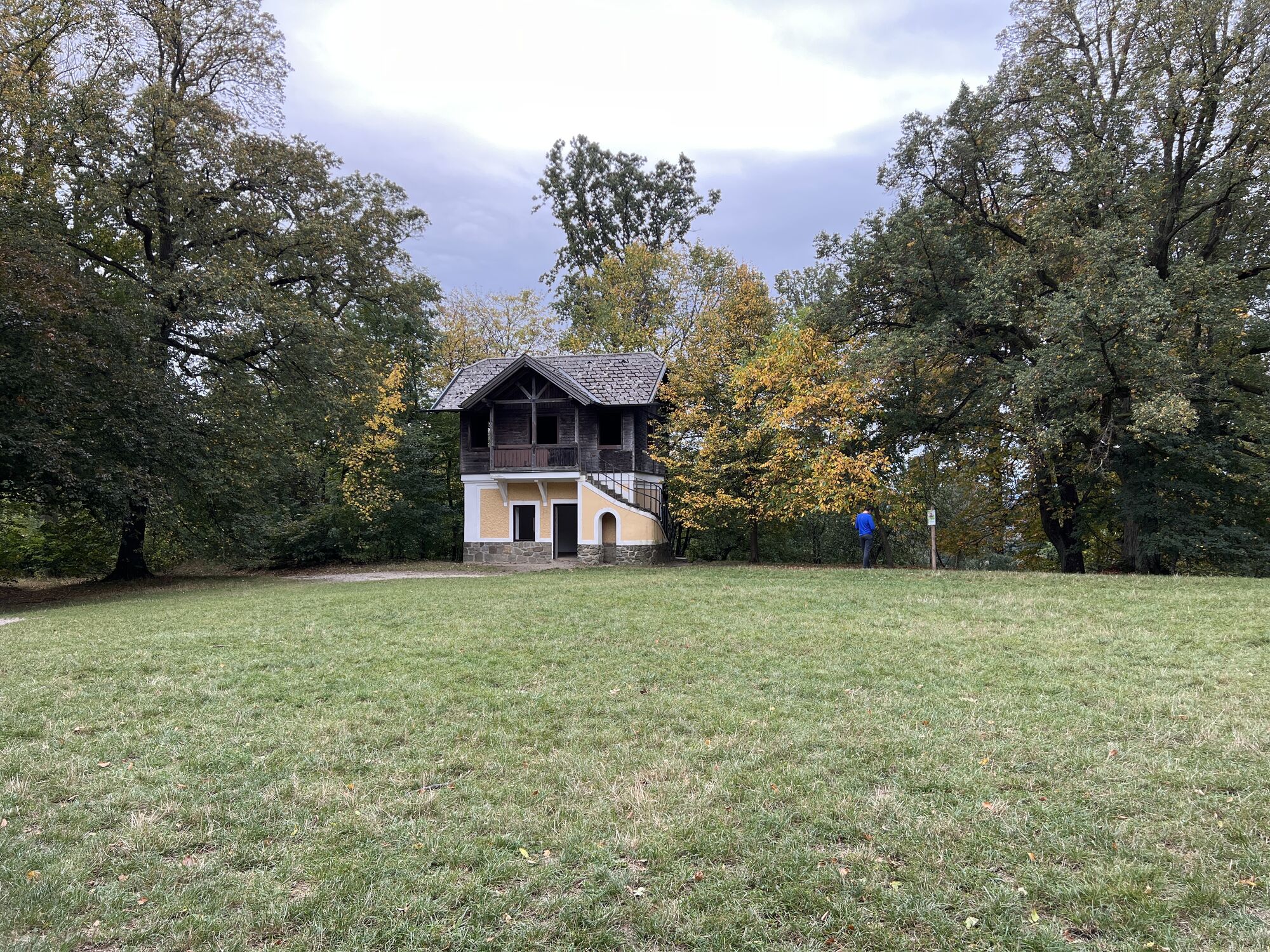
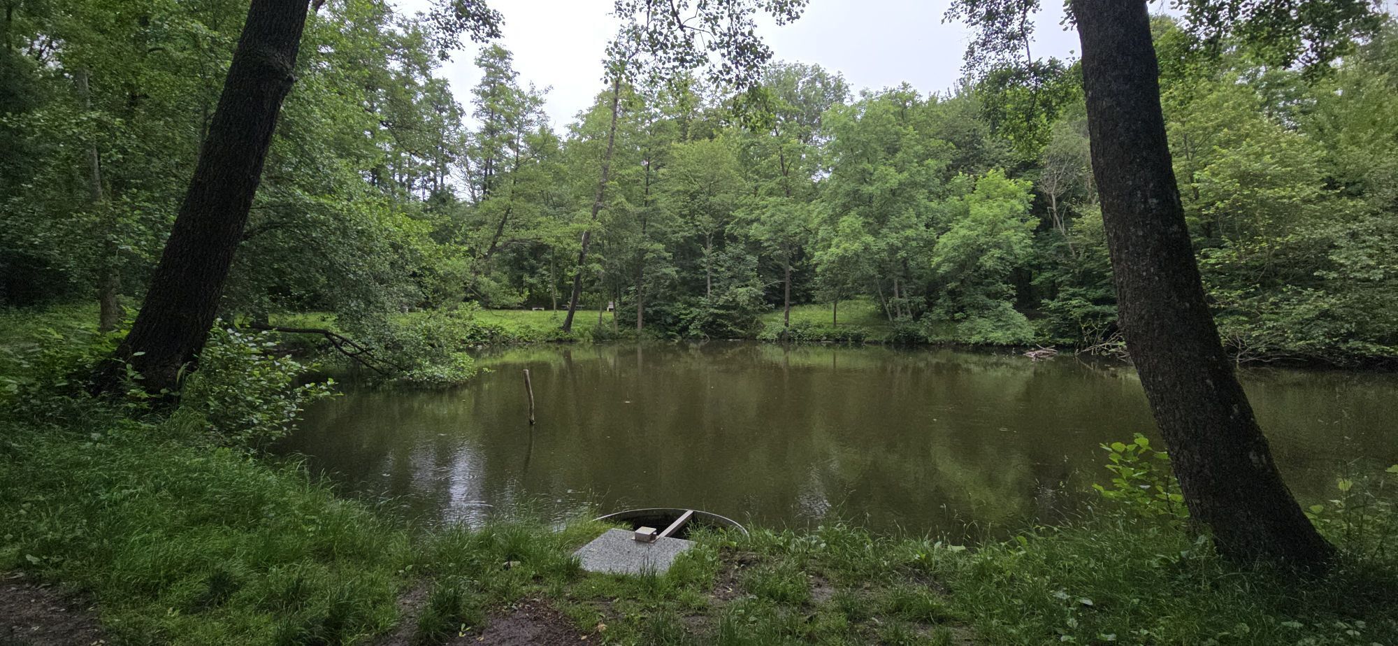
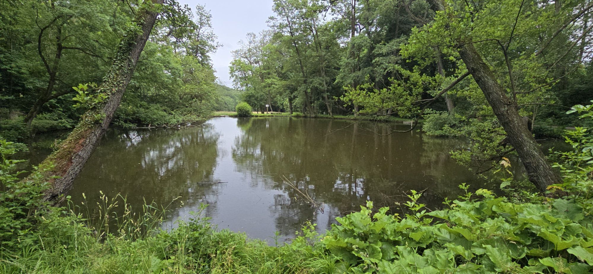
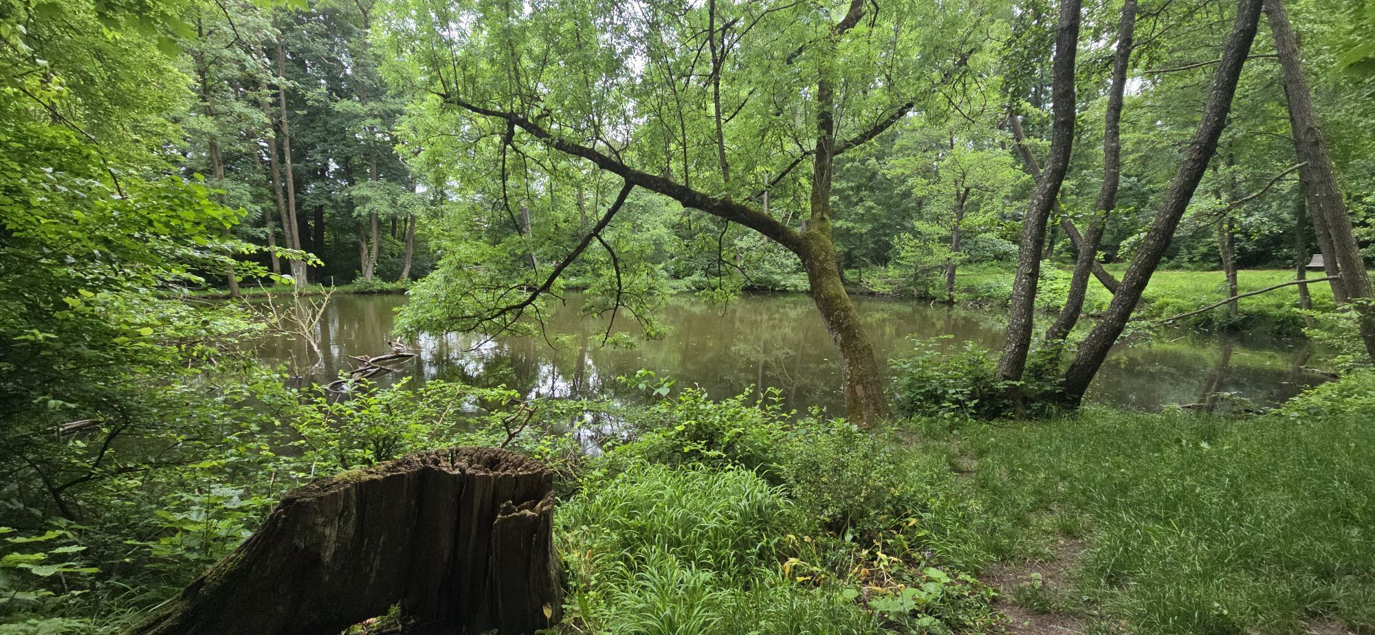
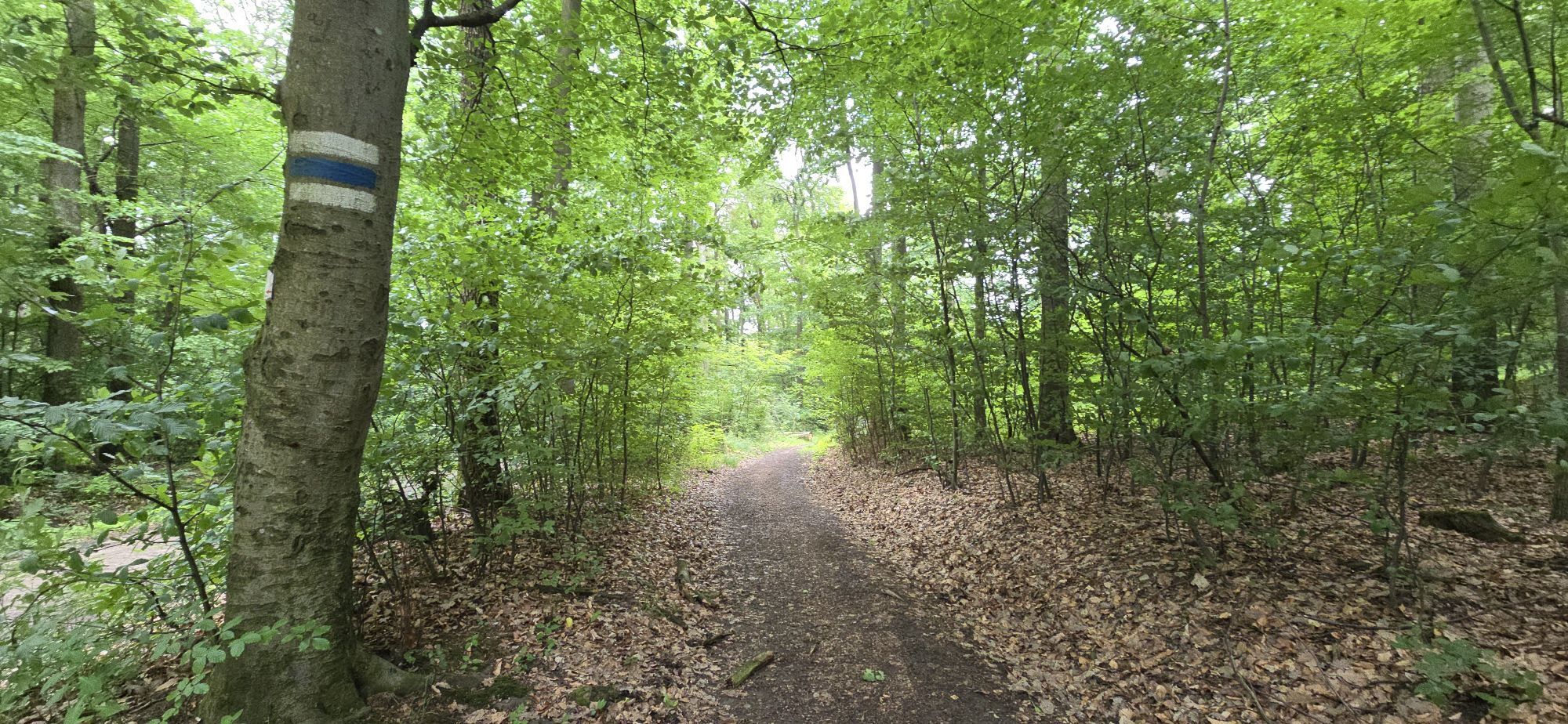
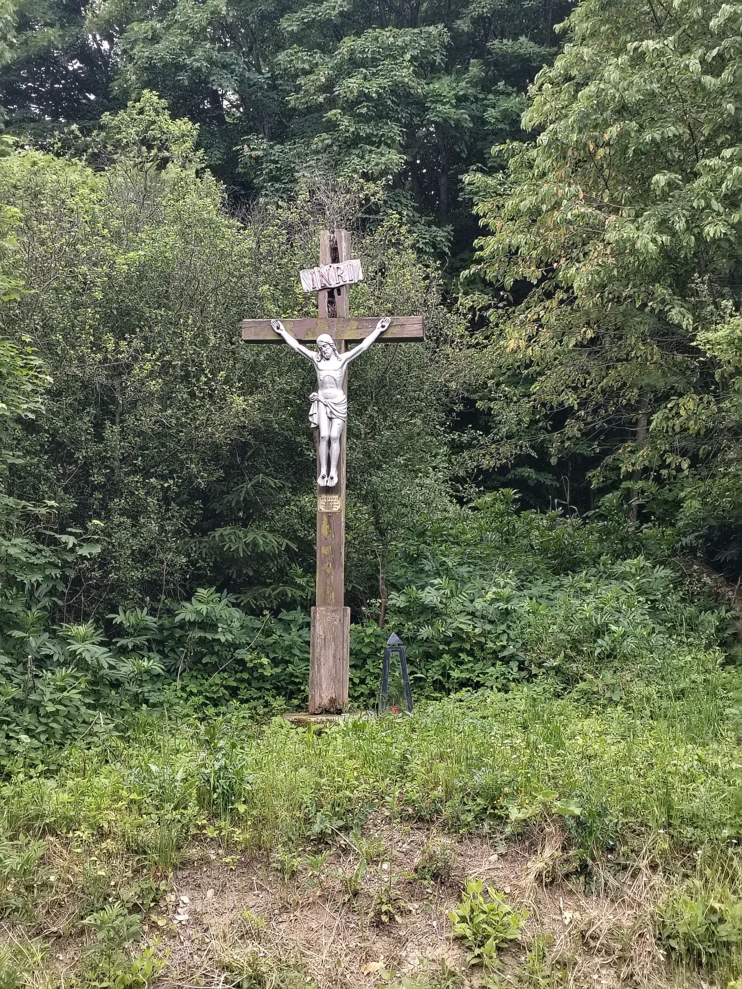
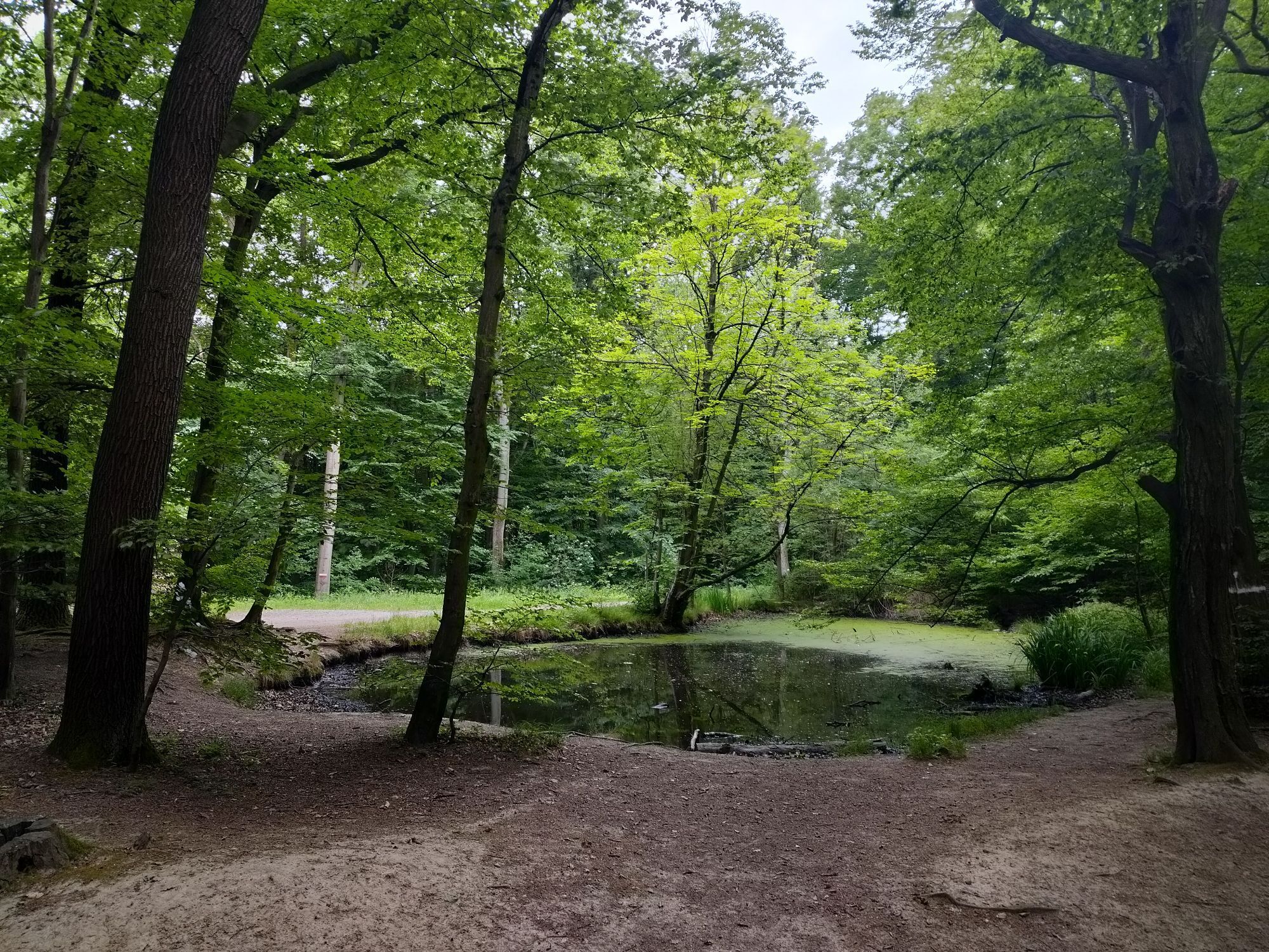
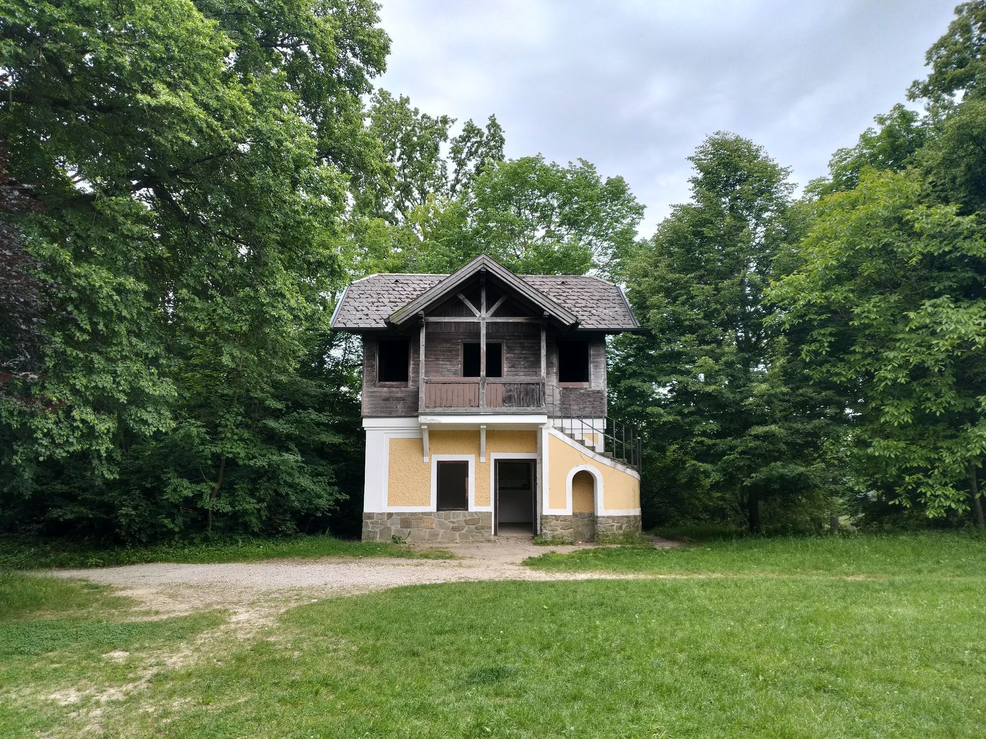
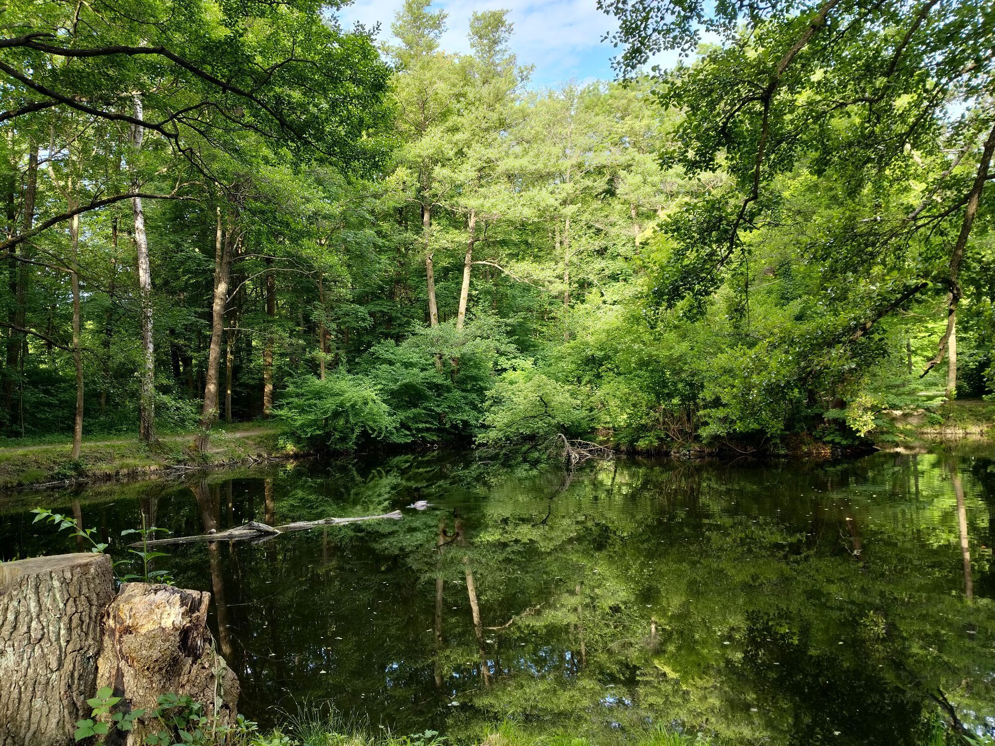
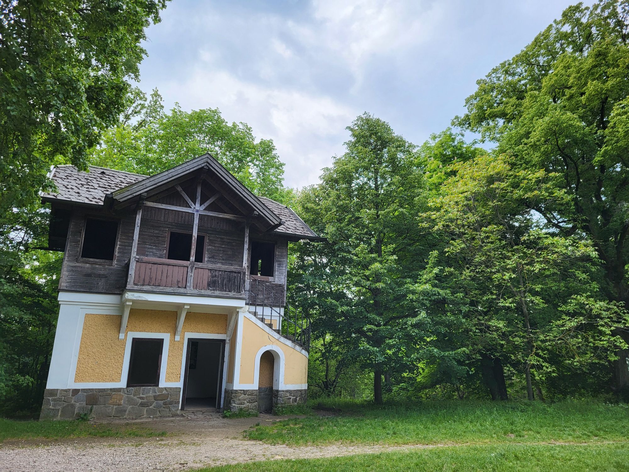
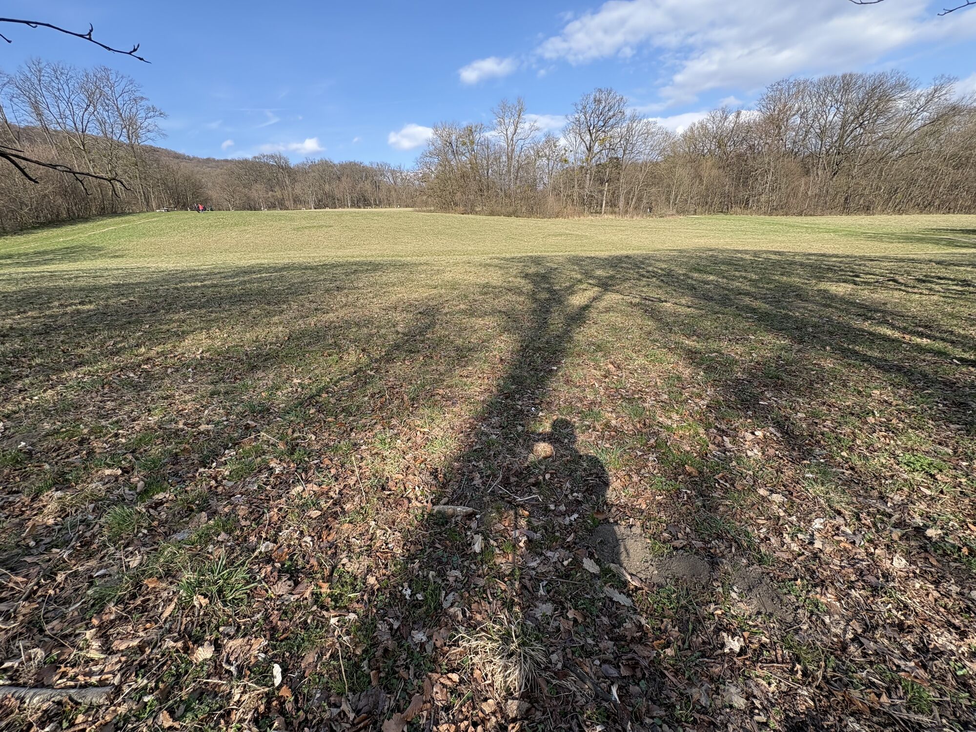
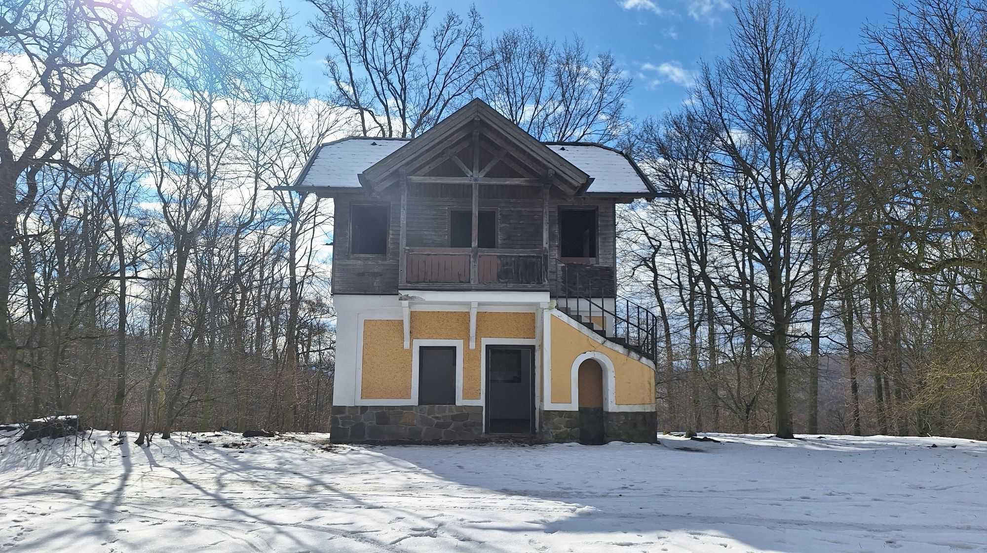
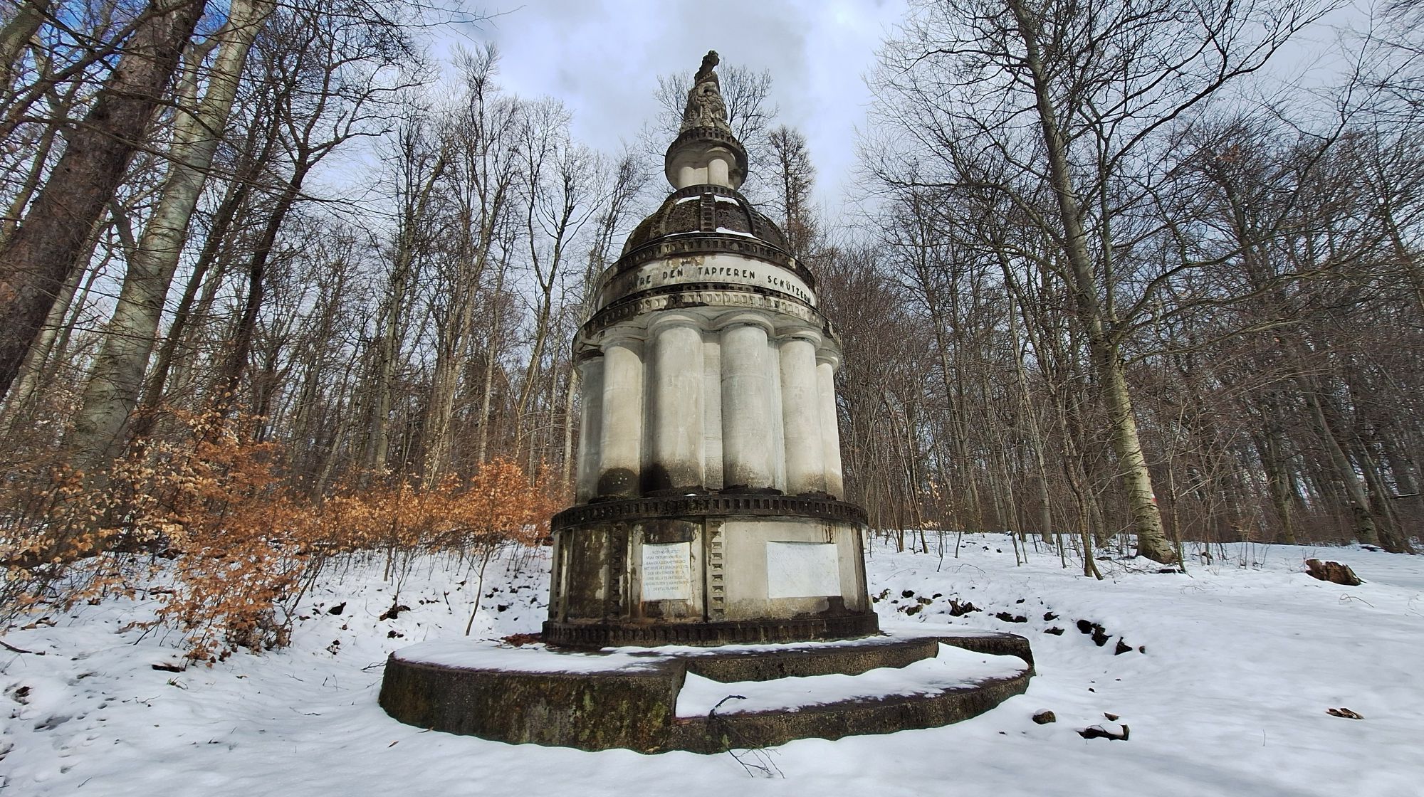
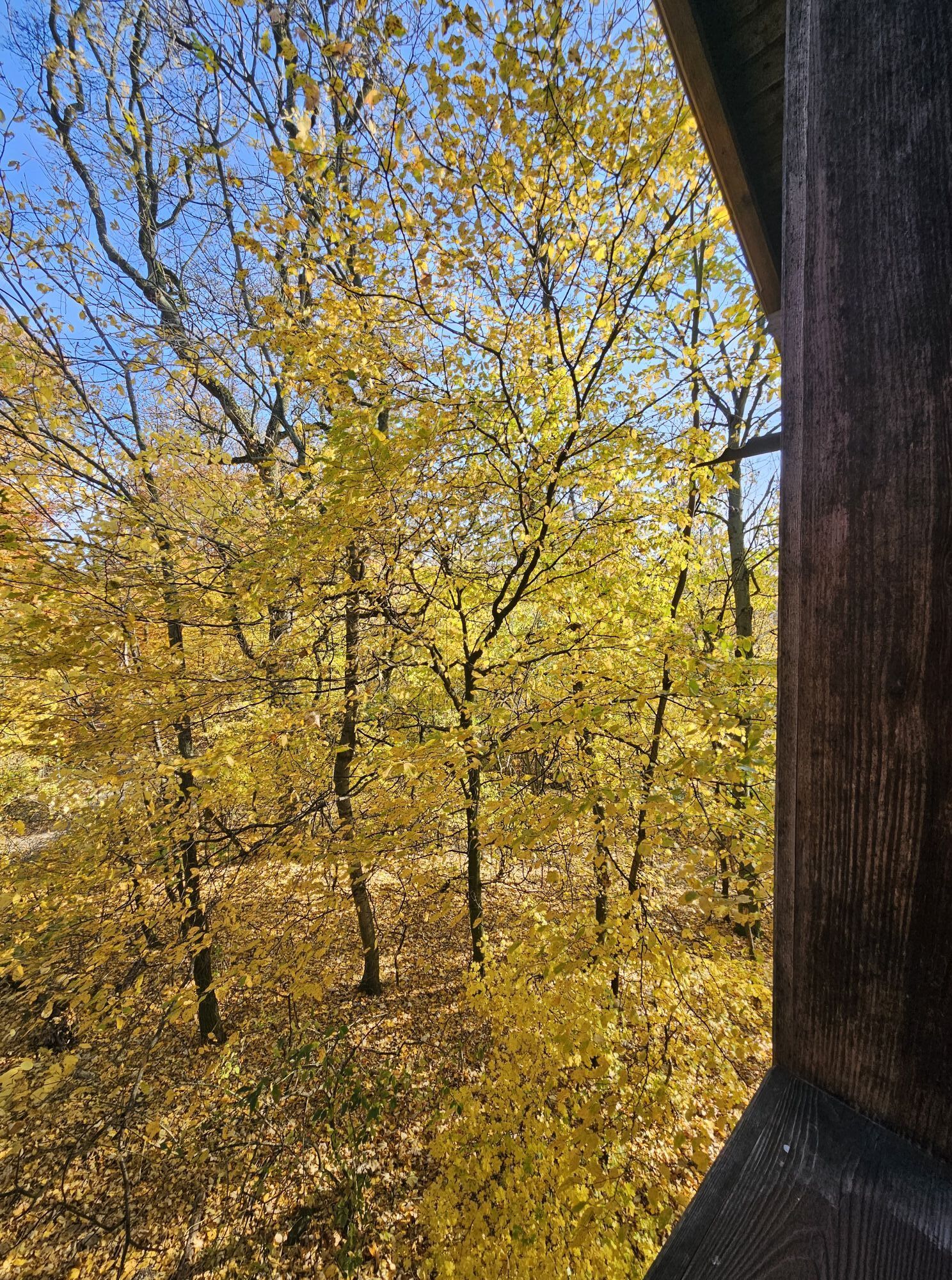
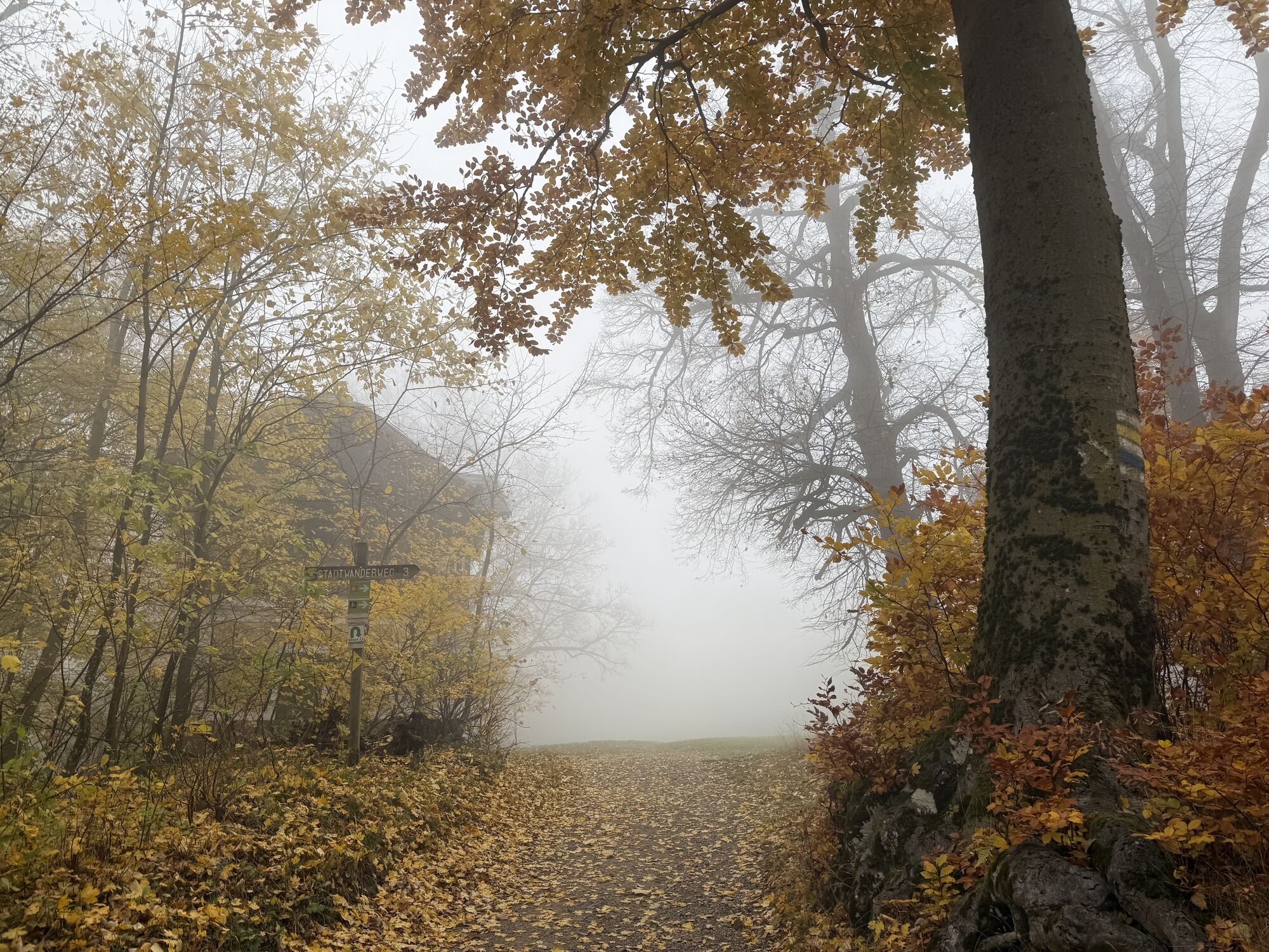
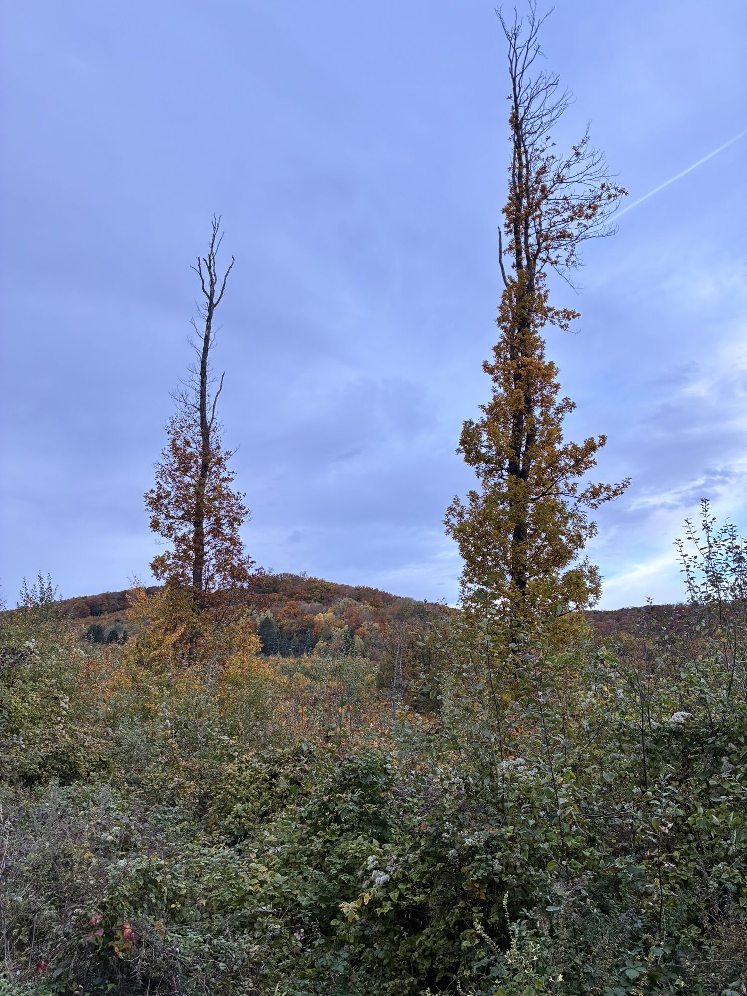
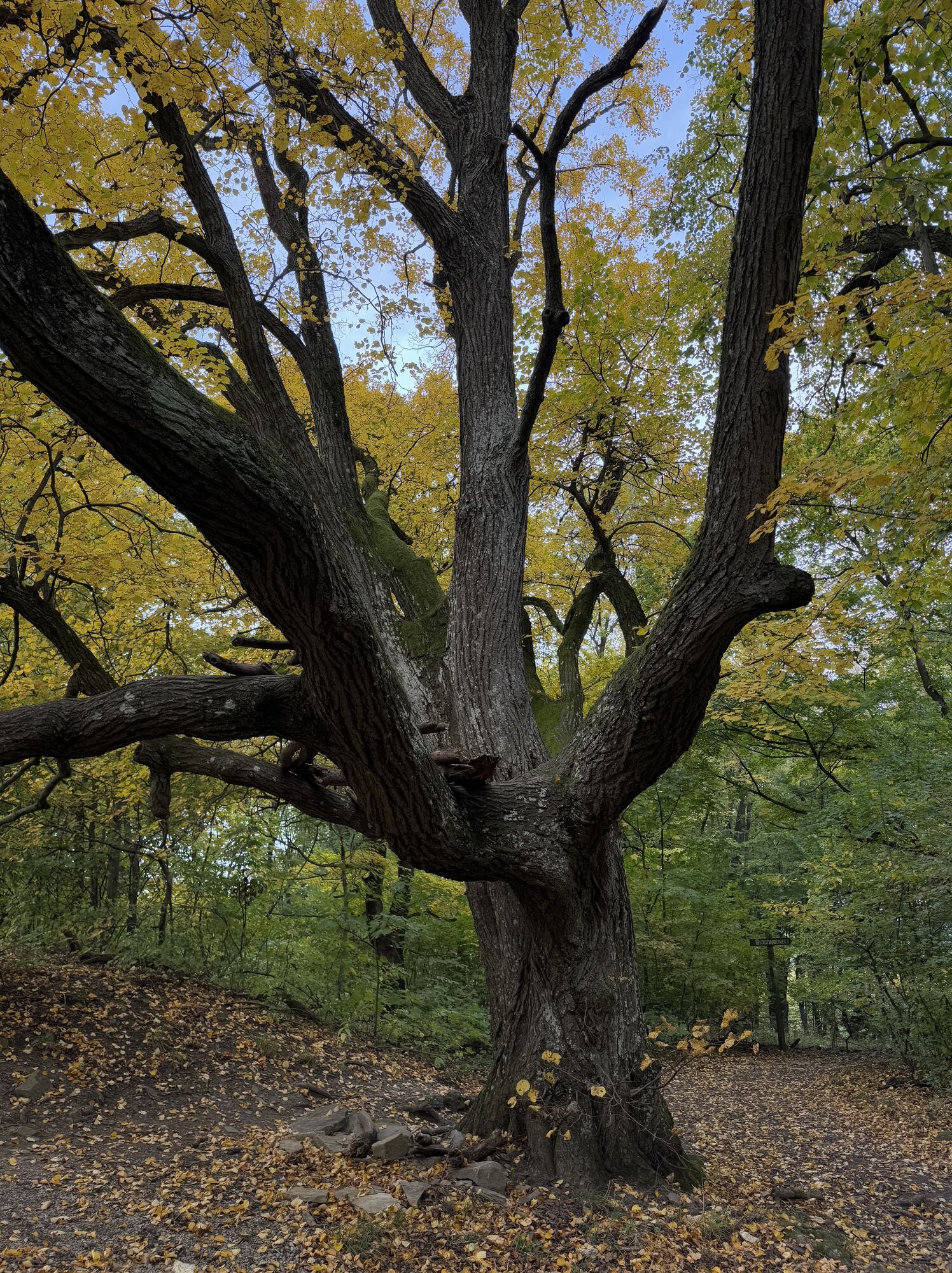
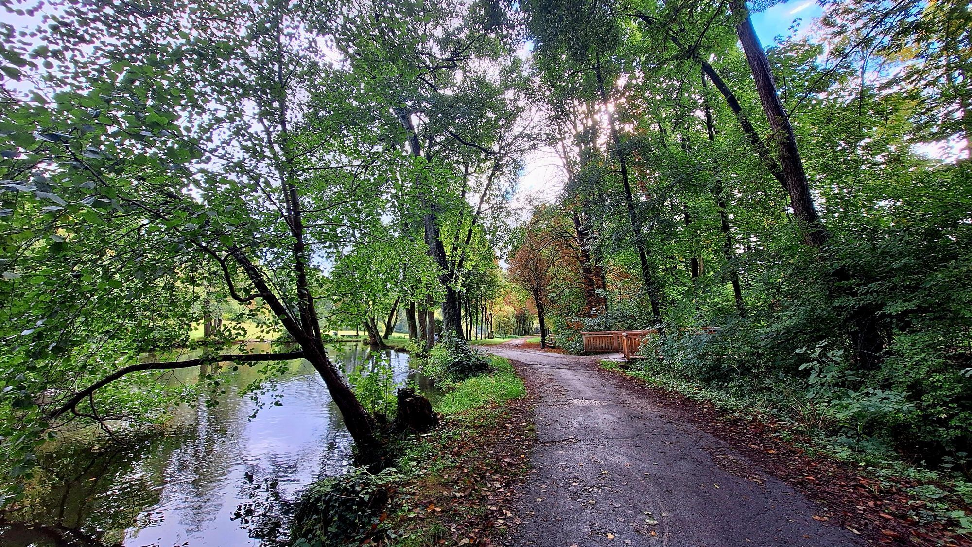
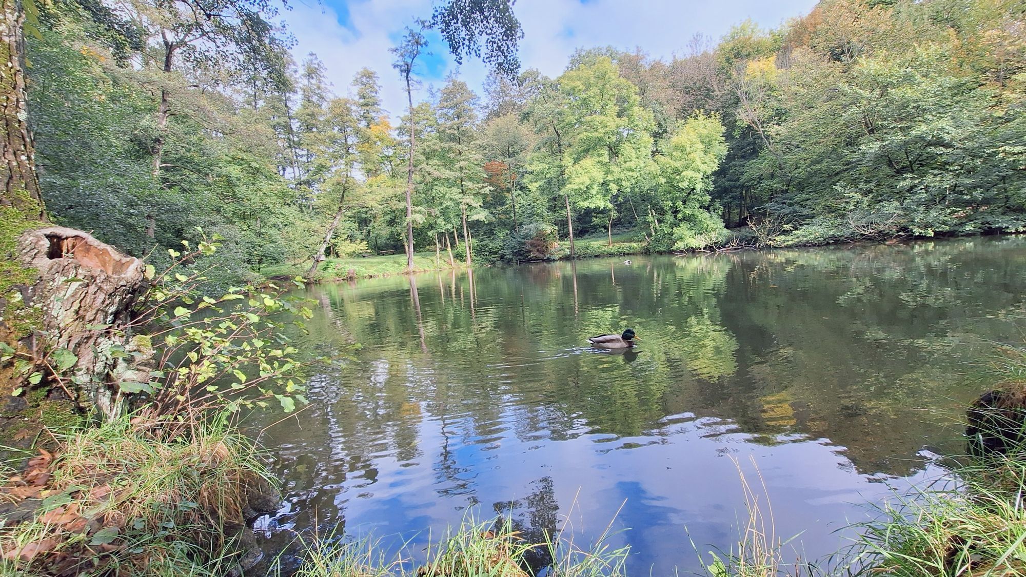
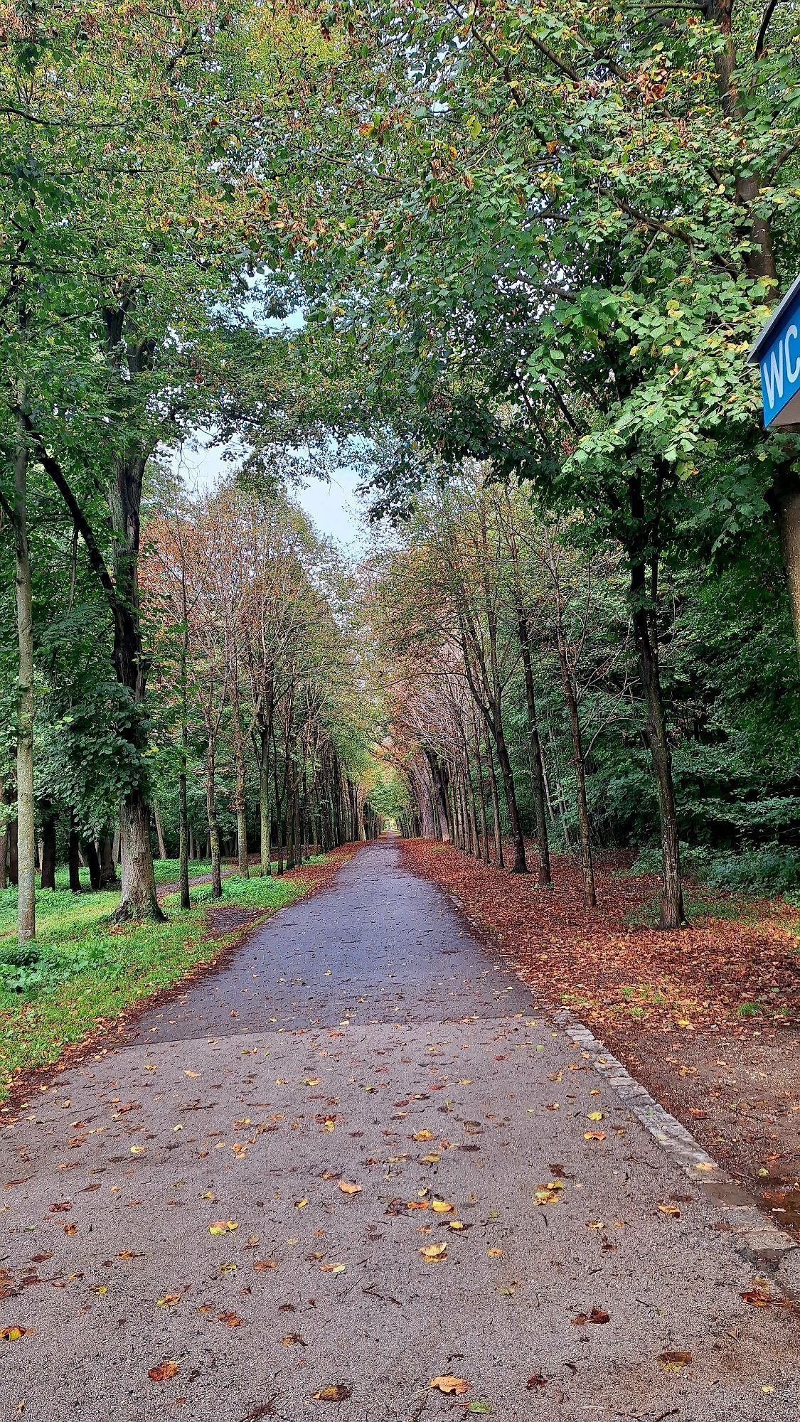
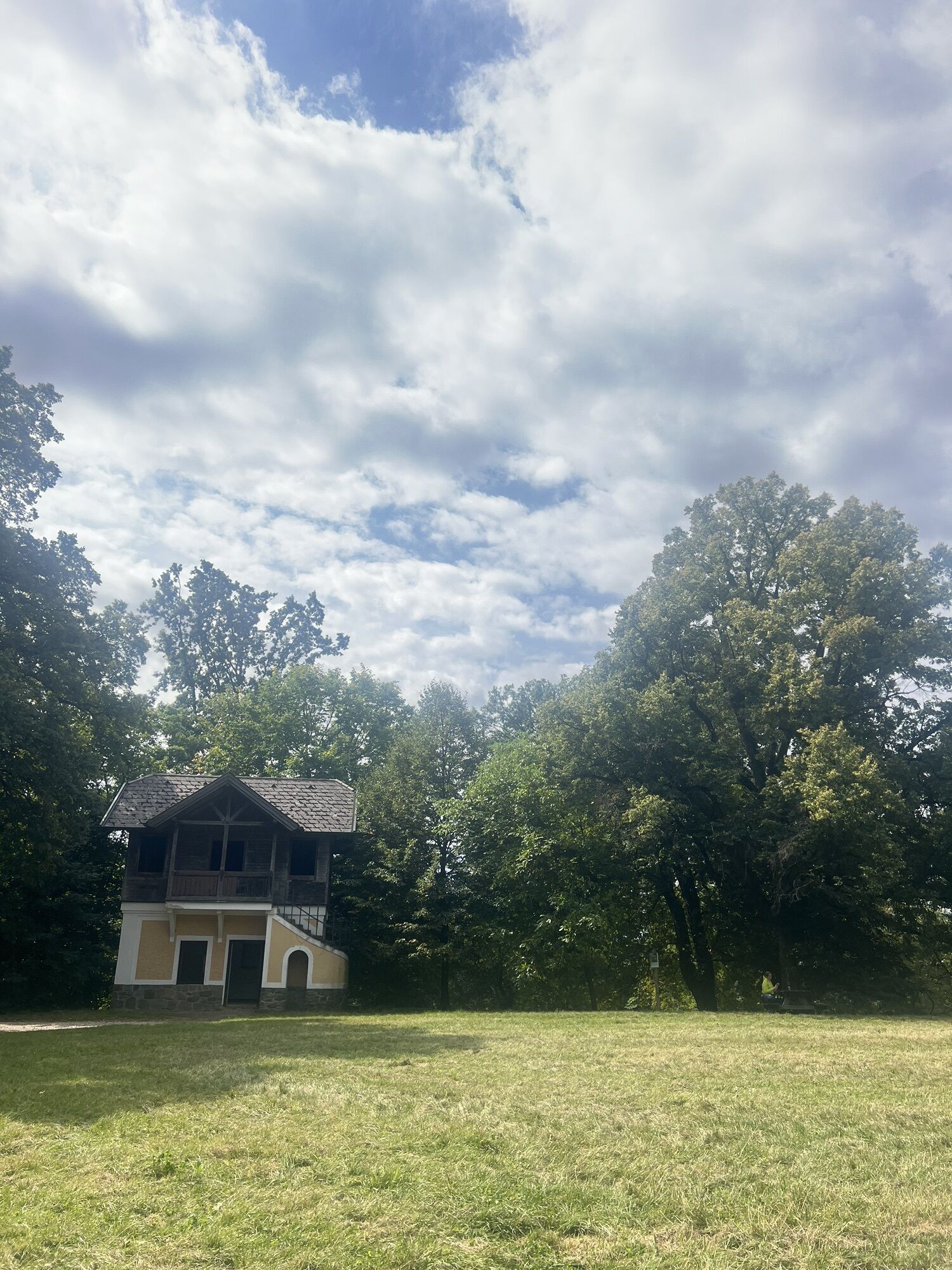

<p>Sports Center Marswiese - Neuwaldegg - Hameau - Exelberg – Schottenwald – Sports Center Marswiese</p>


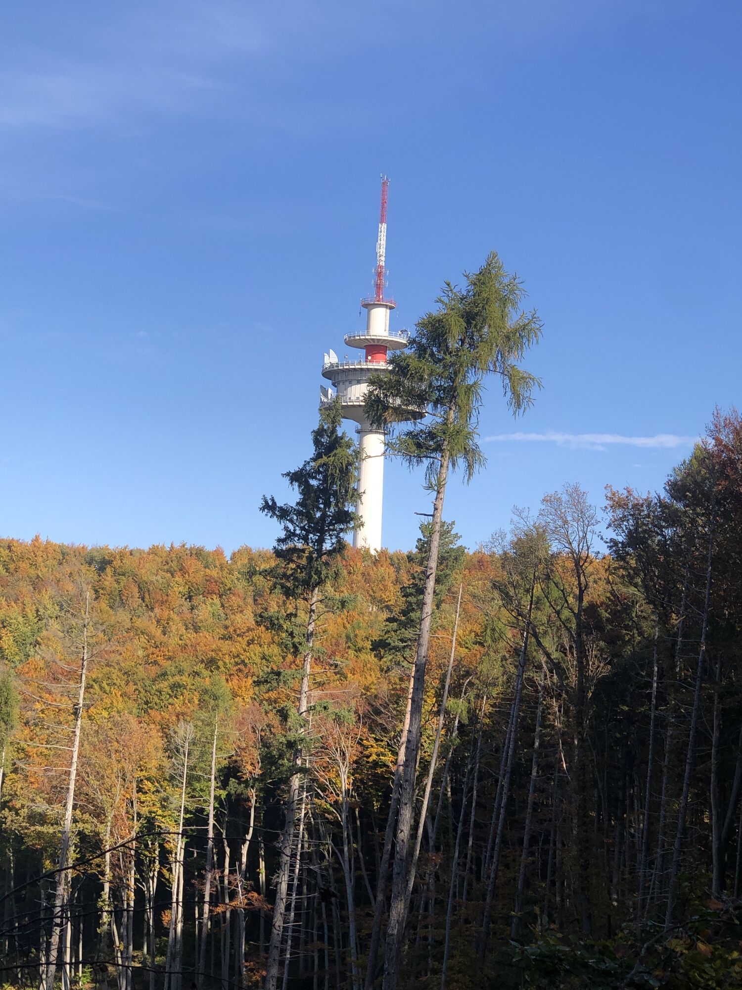
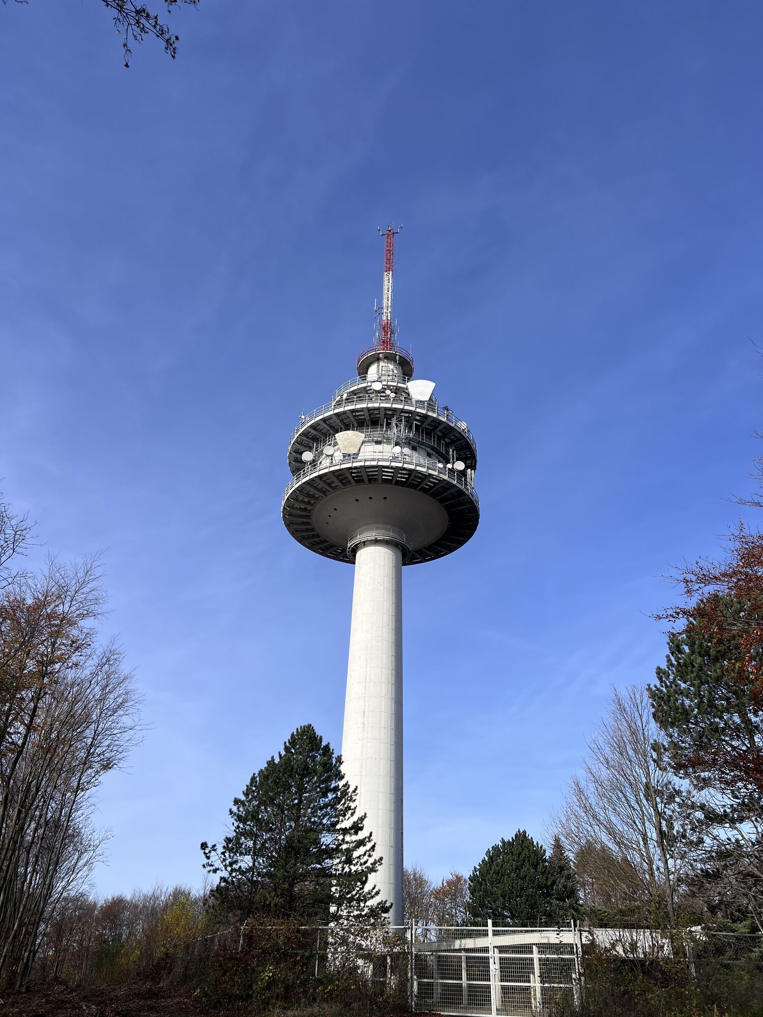
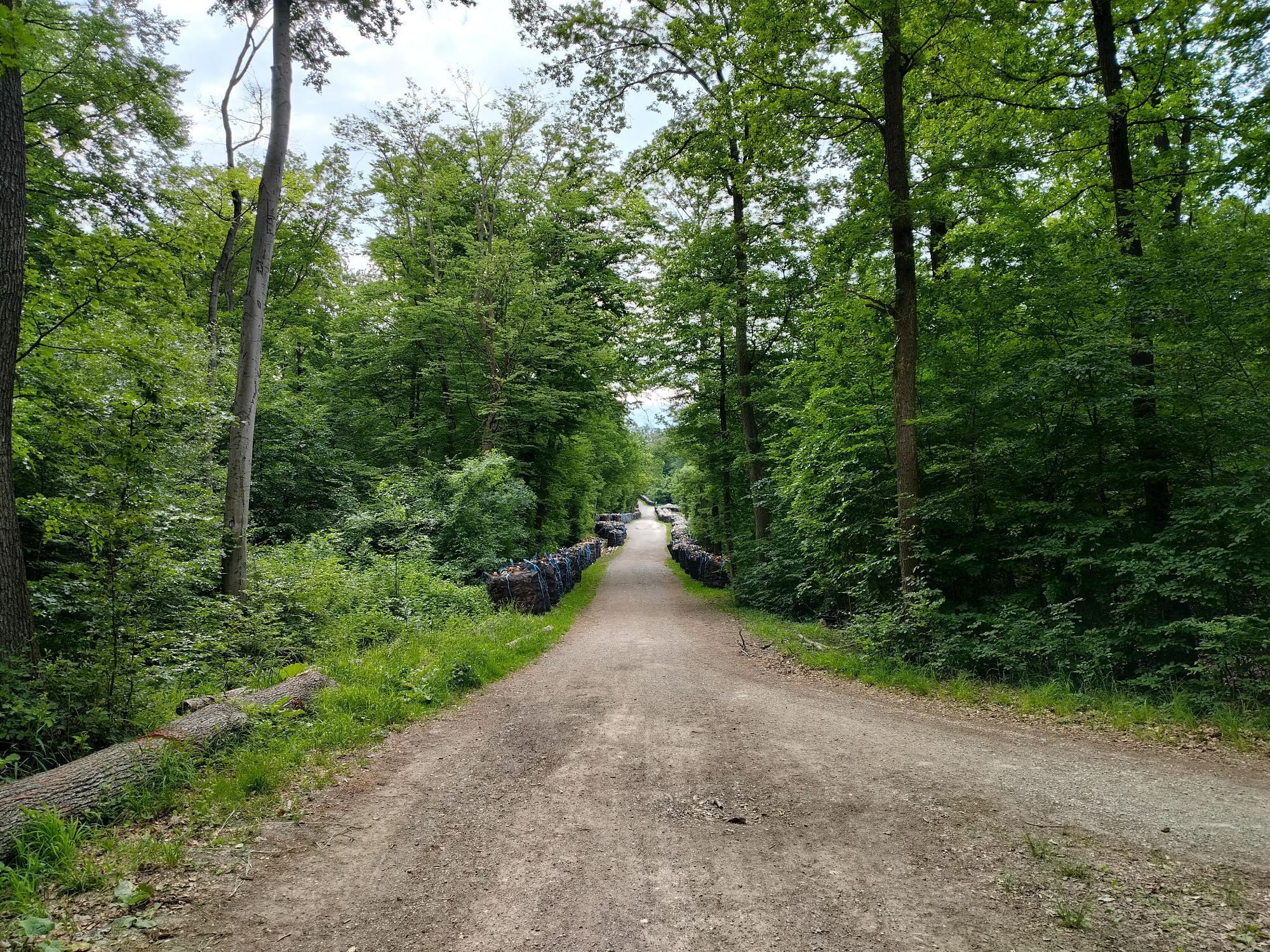
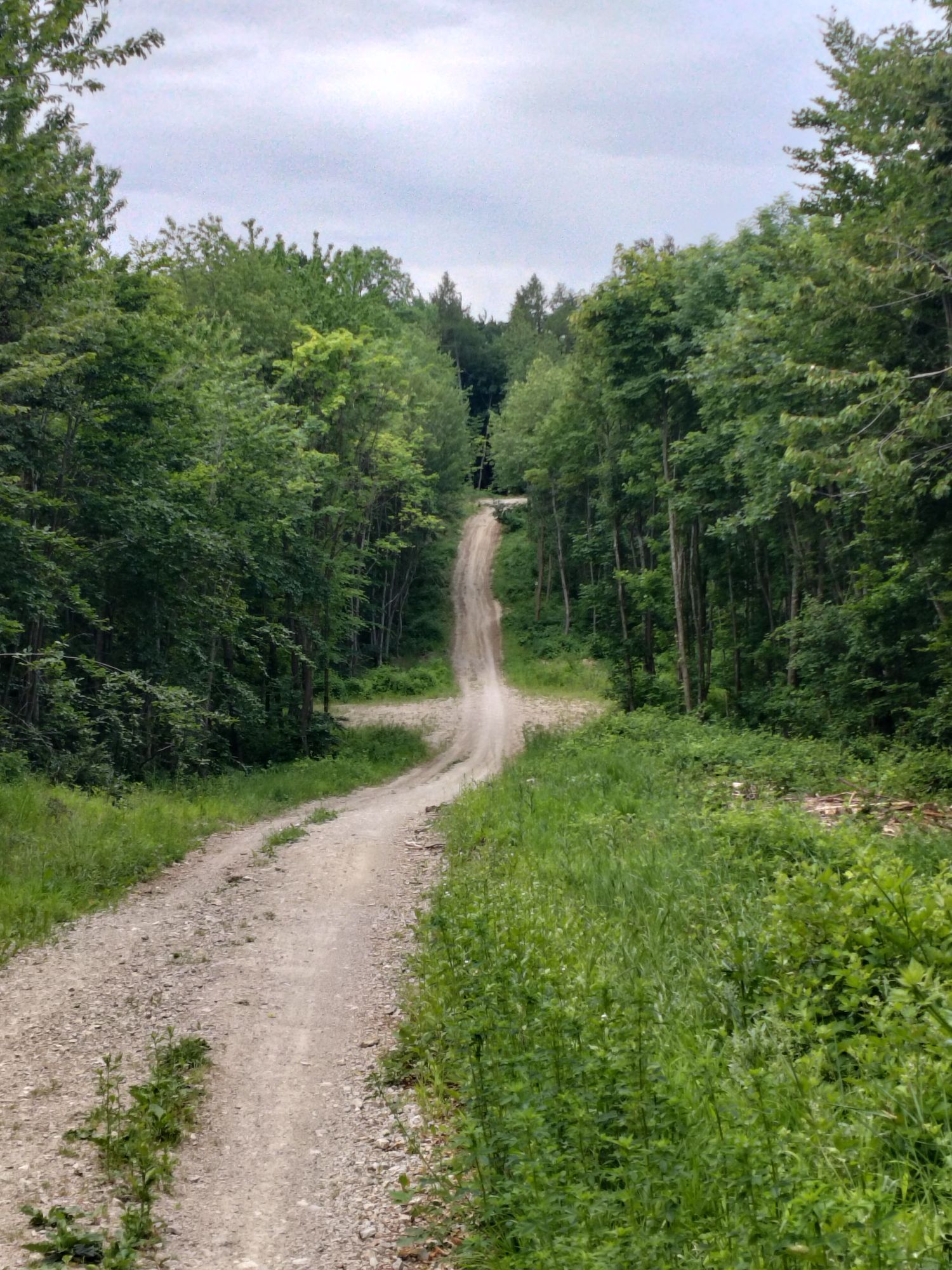
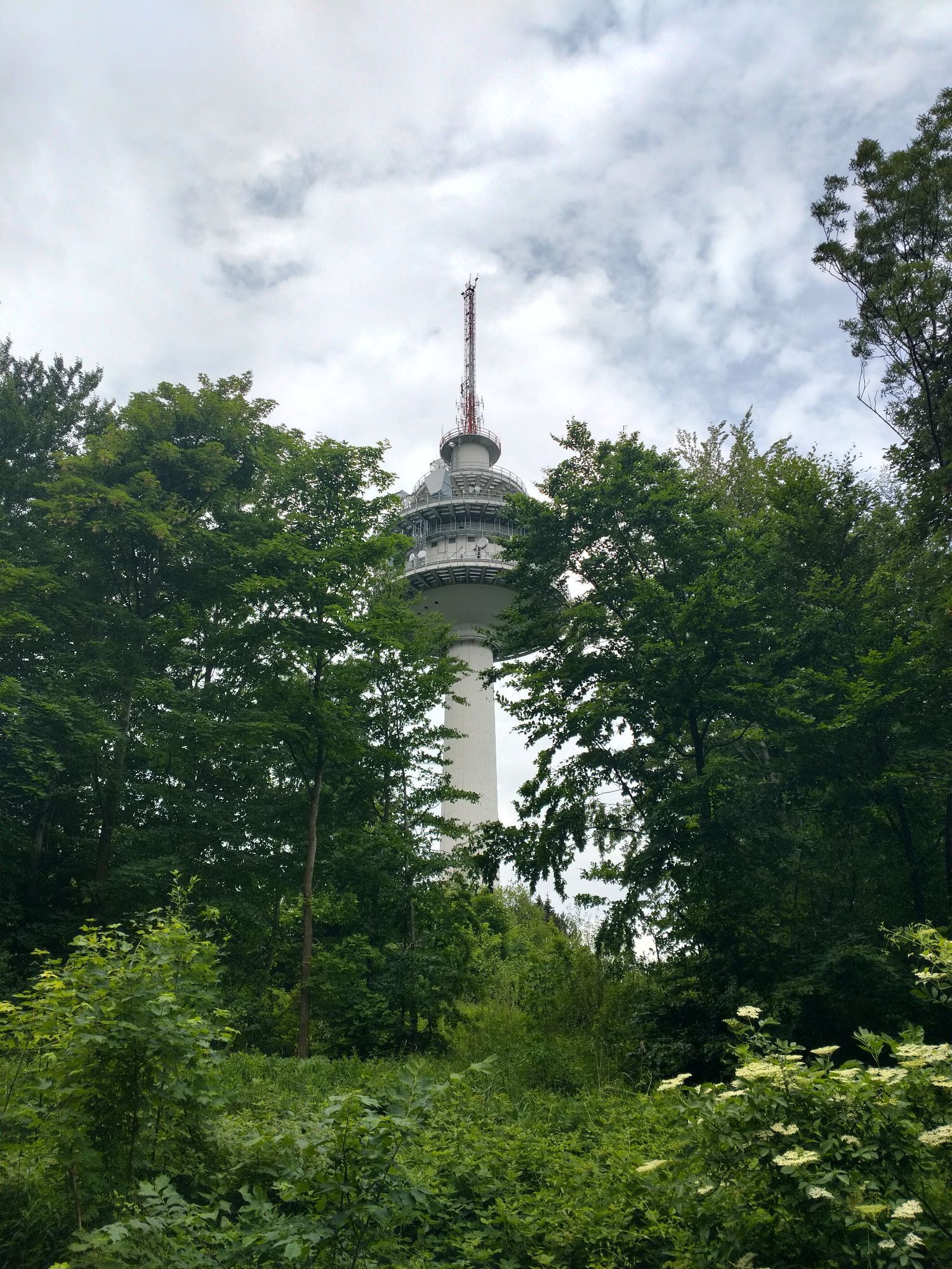
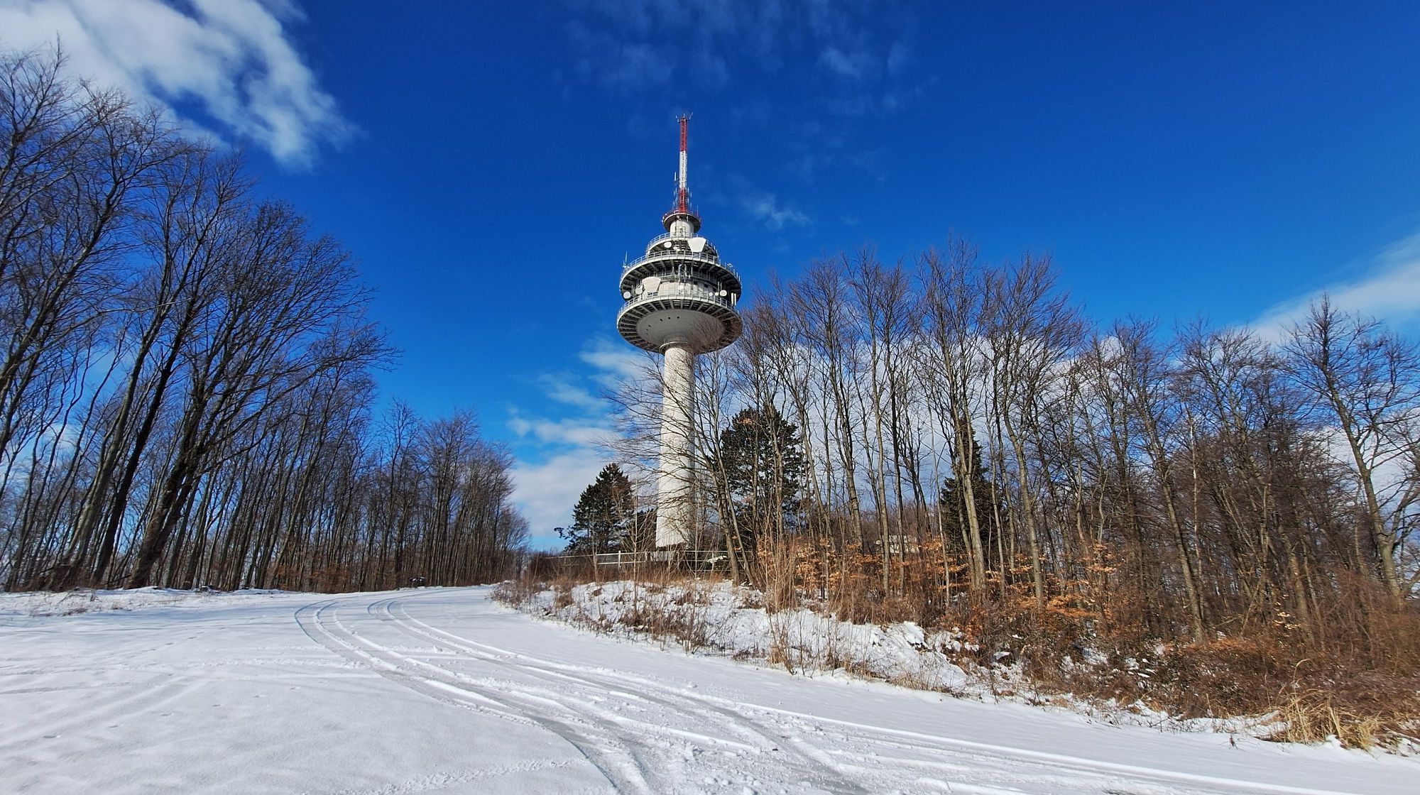
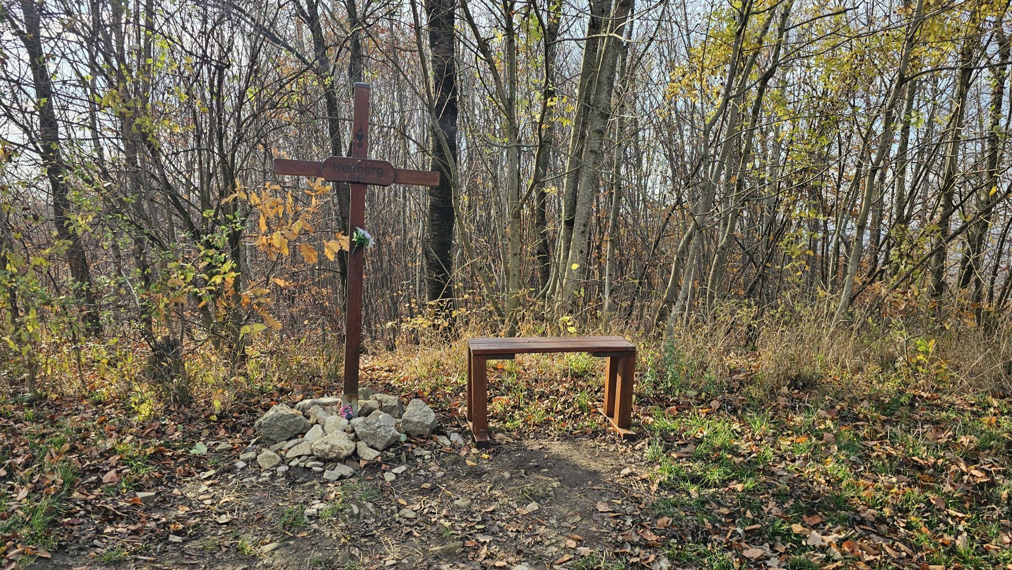
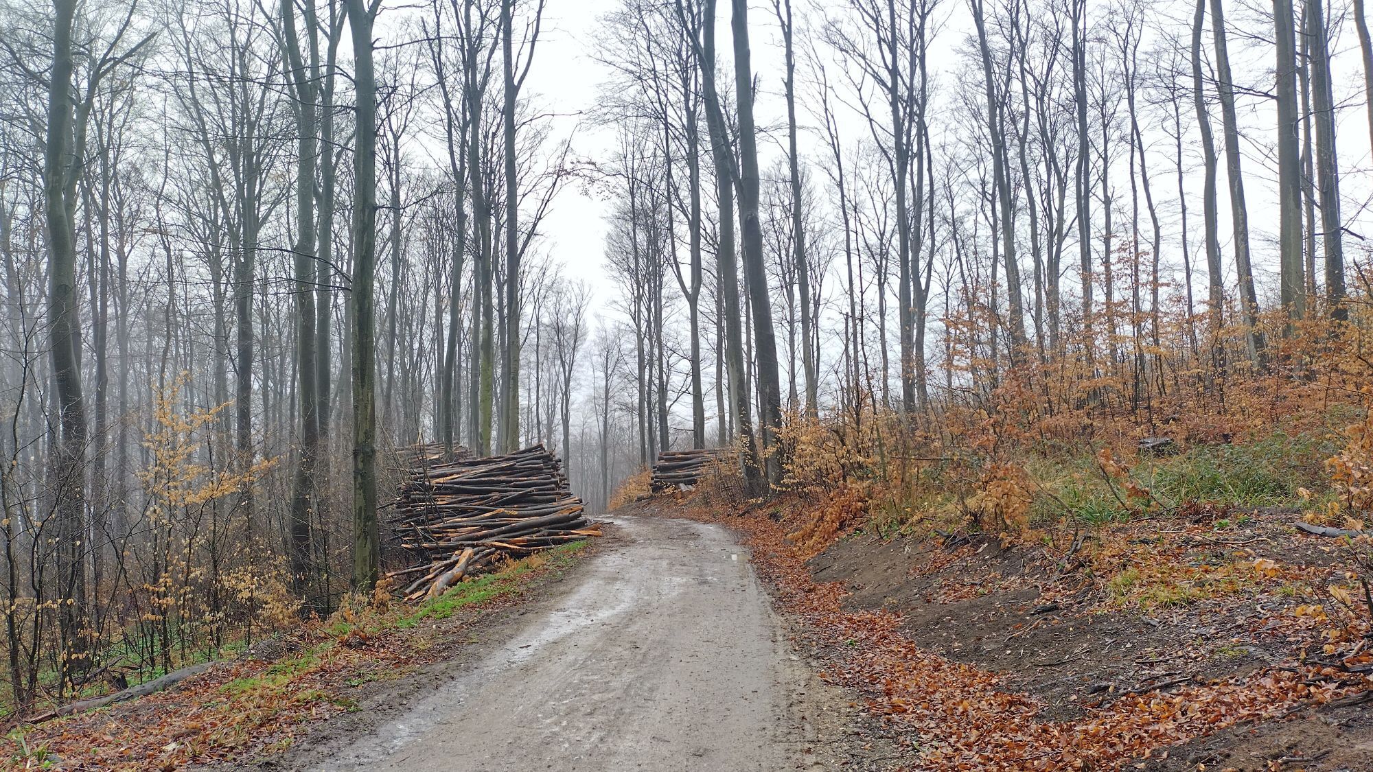
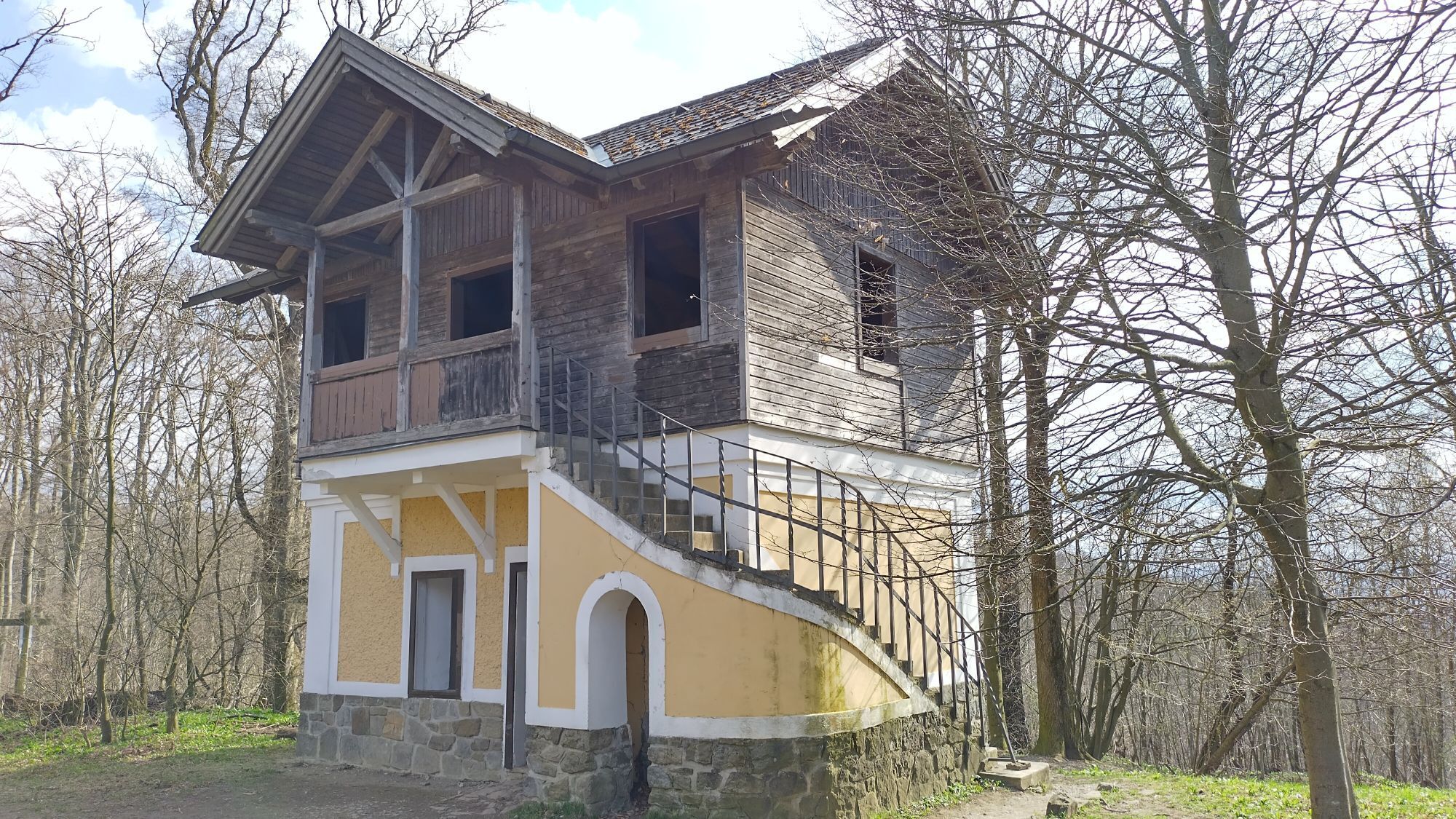
<p>We cycle along Schwarzbergallee to the end where we follow the signs right over a small bridge up to the Hameau. At the top, we keep left towards Sofienalpe. At the Red Cross, we cross Tullnerbach street, ride up past the Exelberg transmitter and down a beautiful trail. Over a timber storage site, we go straight on the forest road down to Schottenhof. There we cross Admunsen street to ride uphill to Kreuzeichenwiese and then left to Heuberg. From here, it goes downhill in the forest back to Schwarzbergallee.</p><p>Surface: Asphalt 15%, gravel 76%, forest/meadow 9%</p>
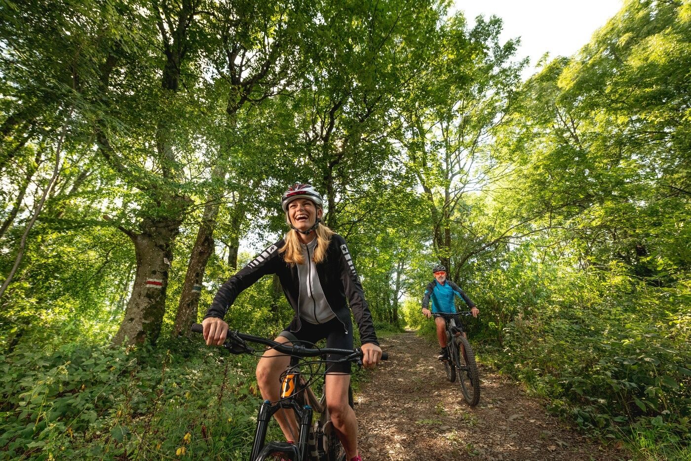
<p>A safe and functional mountain bike is a prerequisite for all routes. Helmet and gloves protect in case of falls and can be extended with knee and elbow protectors on single/shared trails. A modern mountain bike with disc brakes and sufficient tire tread is recommended. For single and shared trails from the red difficulty level, a fully equipped bike with modern geometry is recommended. Tools, tire levers, pump and spare tube help in case of a breakdown. Enough provisions (drinks and food) should also be carried along with a mobile phone and wind/rain jacket.</p>
<p>Before each ride, check the functionality of brakes, tires, and suspension fork/shock absorber. Always ride with hazard awareness and controlled speed and adapt the route choice to the group's riding skills and the ground conditions. The <strong><a href="www.wienerwald.info/mountainbiker-fai... Play</a></strong>rules must be observed at all times. Single/shared trails as well as built tracks in trail parks and trail centers increasingly feature stones, roots, steep sections, steps, and sharp bends that require certain riding skills. When in doubt, simply dismount and push your bike.</p>
<p>B1/Wientalstraße to Stampfergasse, left at Stampfergasse onto Bergmillergasse, continue to Kreuzeichenwiese.</p>
The altitude meter values for this route were calculated based on the A-MAP. Slightly different values are unavoidable due to various map bases from routing/navigation apps and devices. More information can be found in the following blog entry!
Wienerwald Tourism GmbH
Hauptpl. 11, 3002 Purkersdorf
Tel. +43/2231/621 76
E-Mail: office@wienerwald.info
Website: www.wienerwald.info
Dining options nearby:
Klee am HanslteichRieglerhütteZur Allee
Rutas populares en los alrededores
-
4,9
Stadtwanderweg 1
luzSenderismo 11,1 km -
4,9
Stadtwanderweg #2, Hermannskogel, Top of Vienna 😆
luzSenderismo 11,1 km -
4,8
Stadtwanderweg 1a - Leopoldsberg / lt. Beschilderung
medioSenderismo 10,2 km -
4,7
Königstetten-Figlwarte-Hainbuch-Königstetten
medioSenderismo 9,30 km -
4,7
Nasenweg Leopoldsberg Rundweg
medioSenderismo 4,08 km -
4,6
Abend/Nachtwanderung Teufelstein
luzSenderismo 7,15 km -
4,6
Stadtwanderweg 6 / Zugberg - Maurer Wald (lt. Beschilderung)
luzSenderismo 13,3 km -
4,6
Stadtwanderweg 4
luzSenderismo 8,48 km -
4,6
Stadtwanderweg 7 - Laaer Berg / lt. Beschilderung
luzSenderismo 14,2 km -
4,5
Stadtwanderweg 5 Bisamberg (lt. Beschilderung)
luzSenderismo 10,5 km
Senderismo y rastreo


No se pierda las ofertas y la inspiración para sus próximas vacaciones
Su dirección de correo electrónico se ha añadido a la lista de correo.





