






Parapluie route
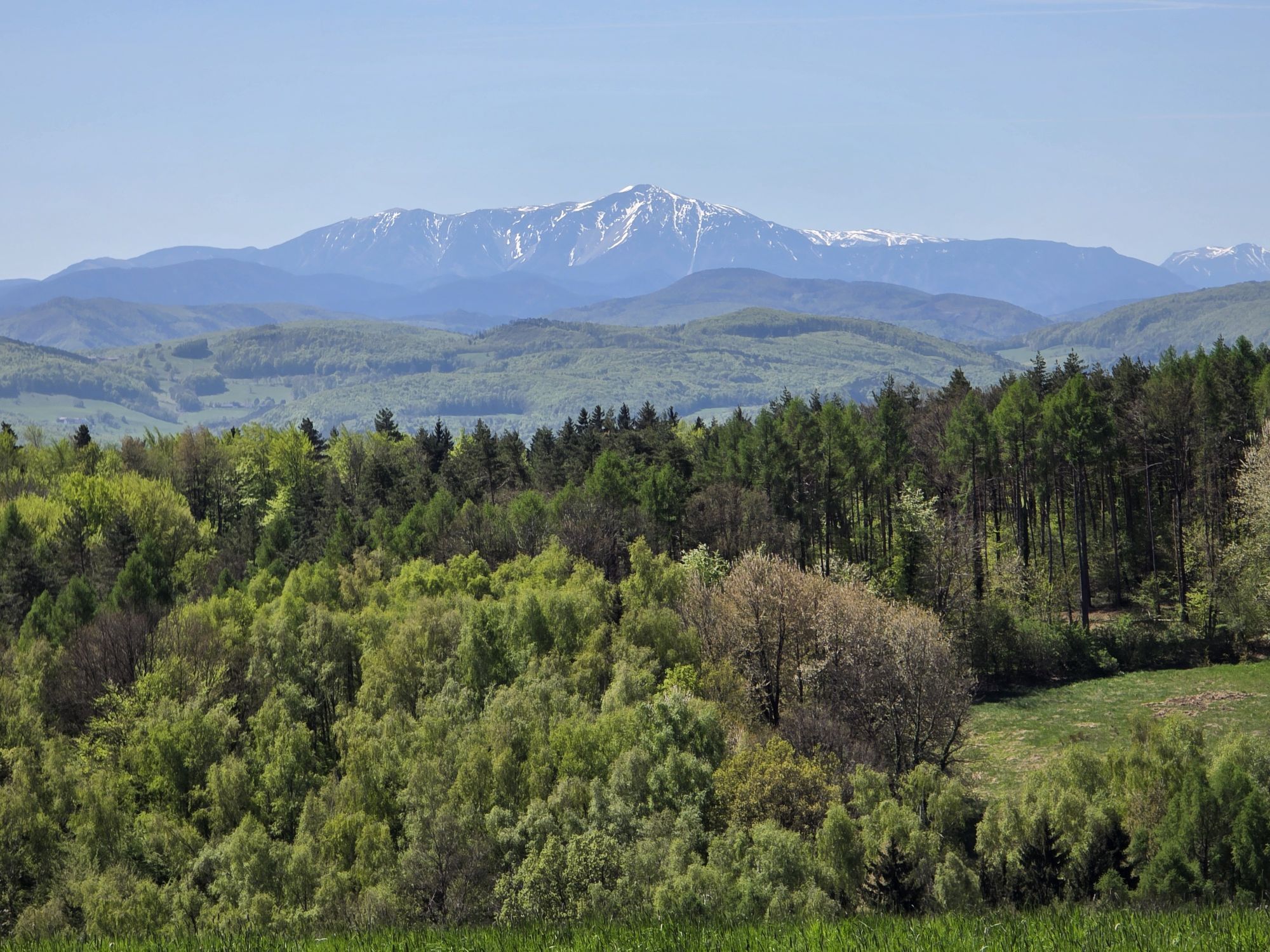
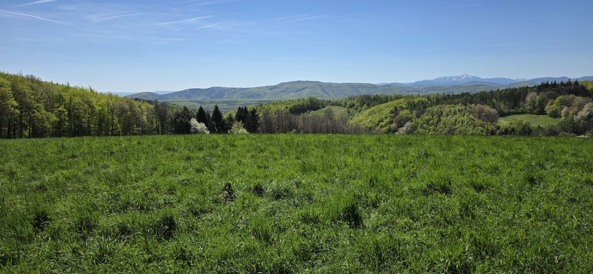

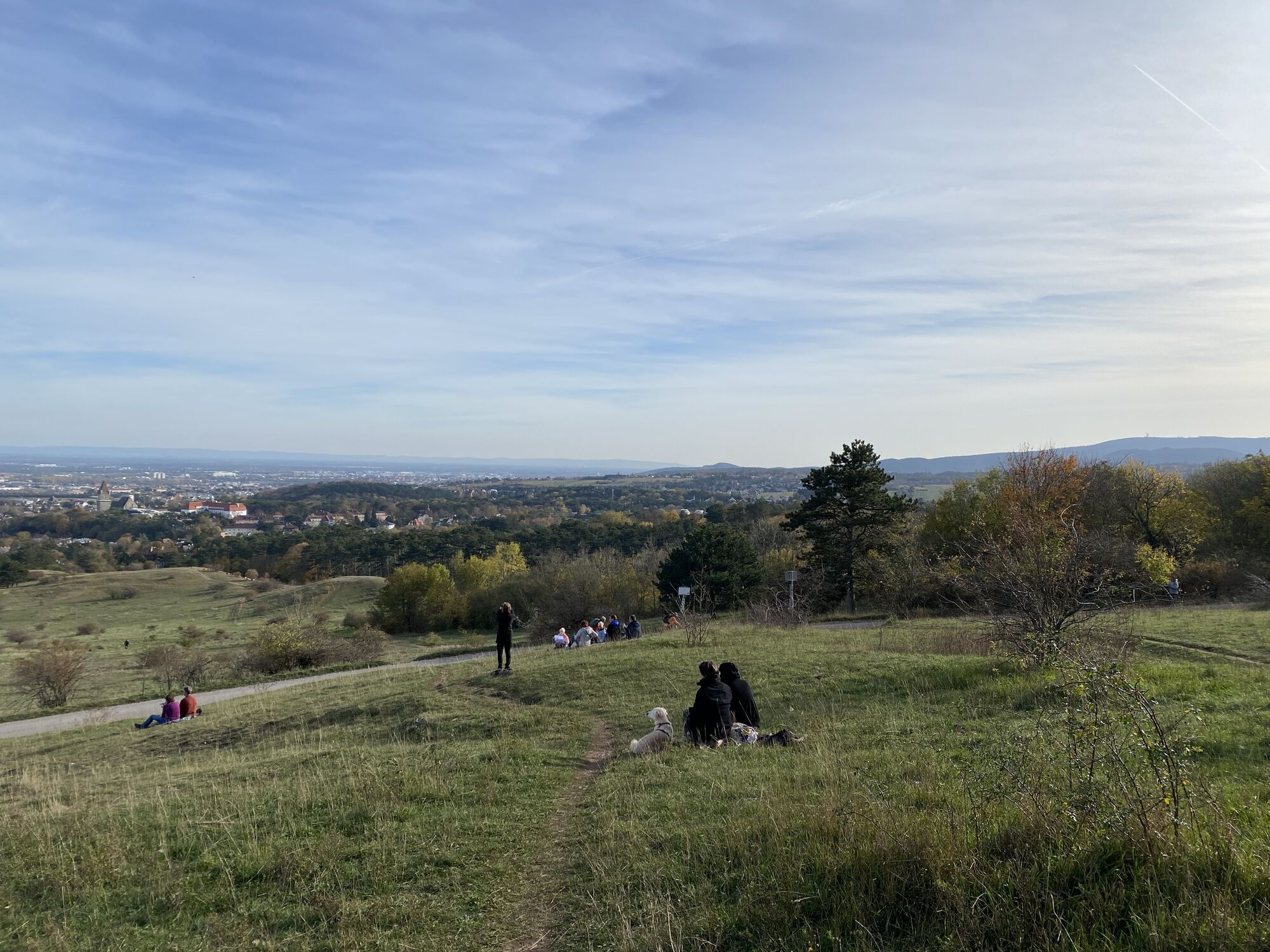
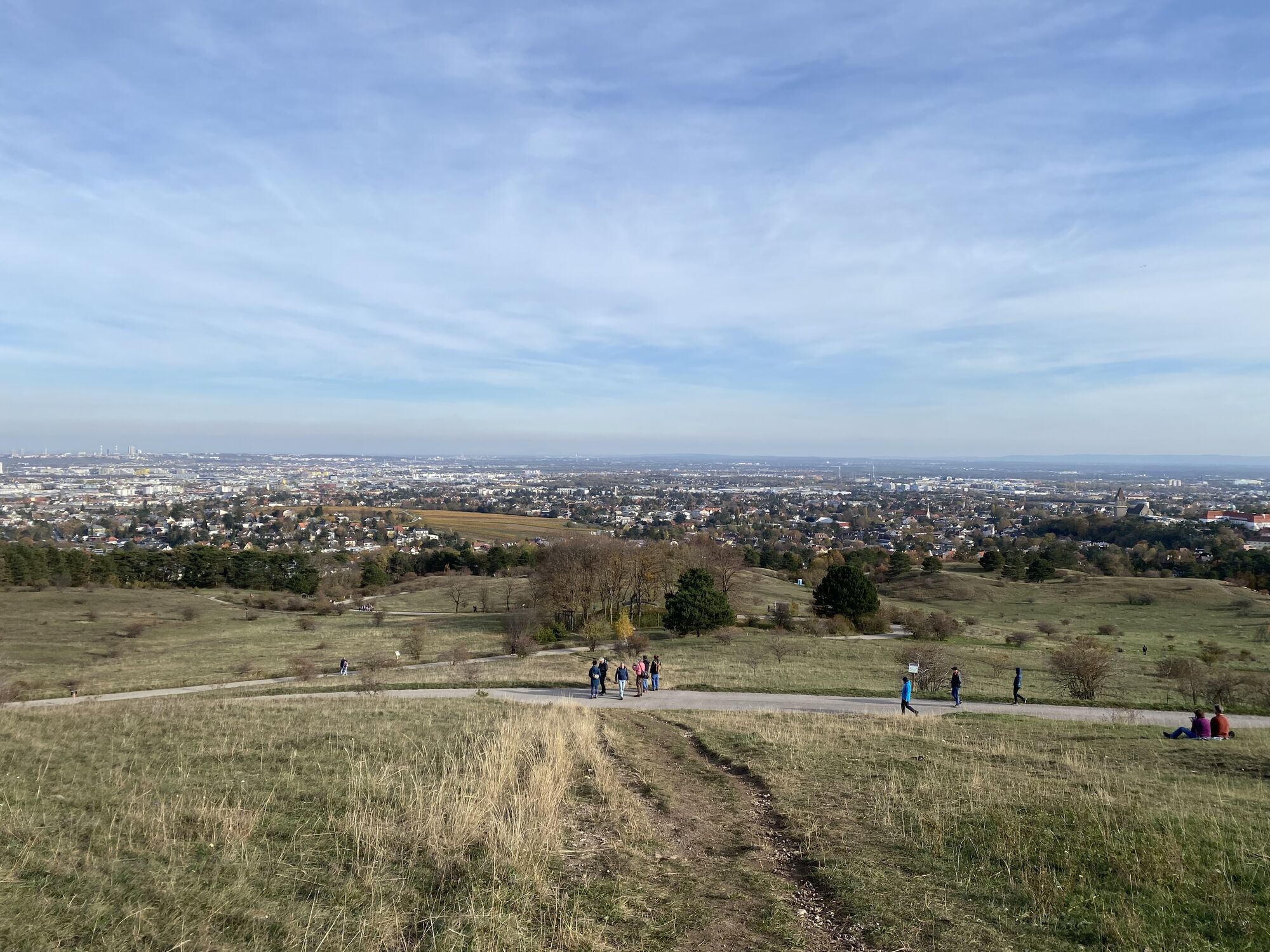
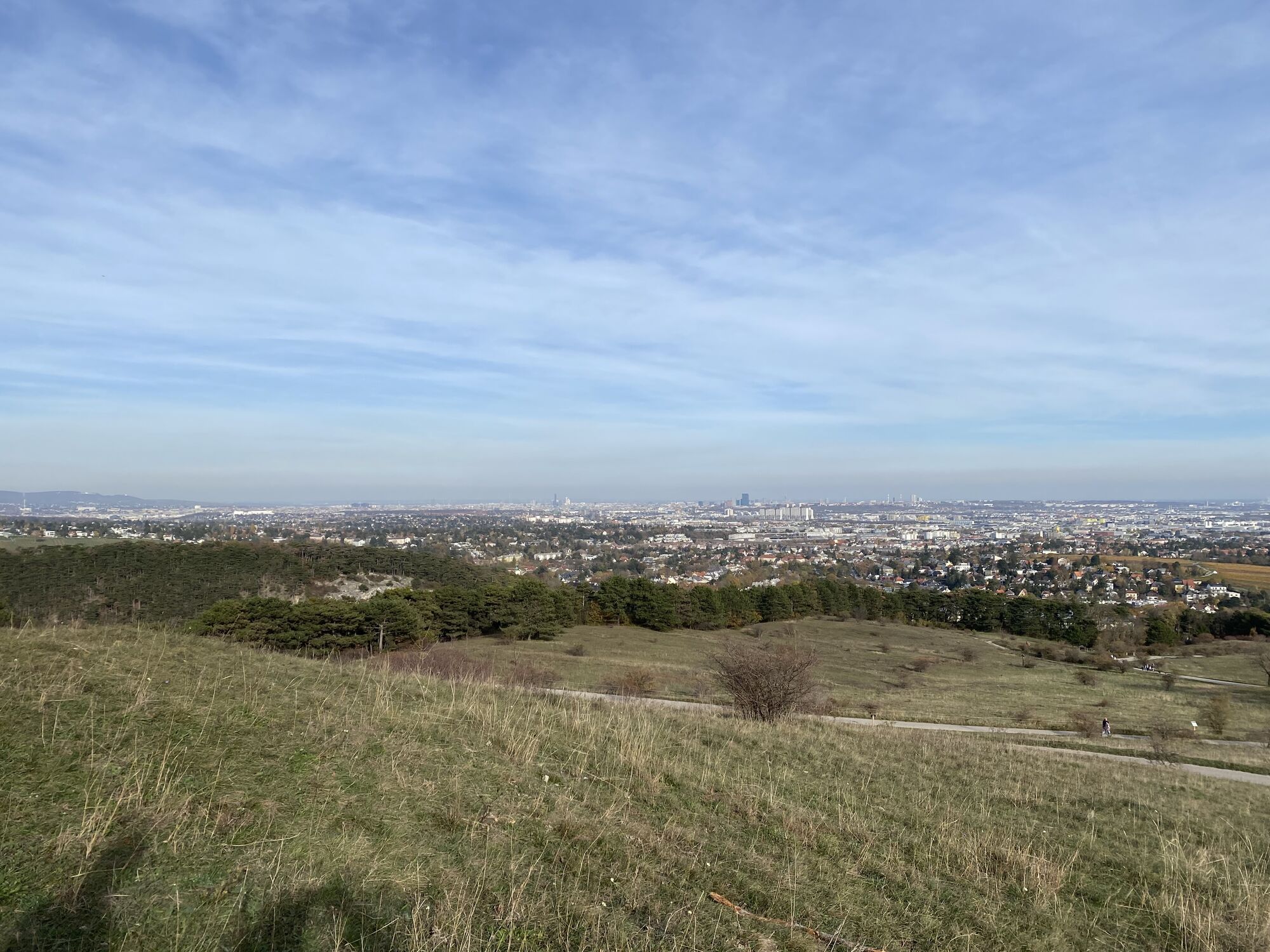
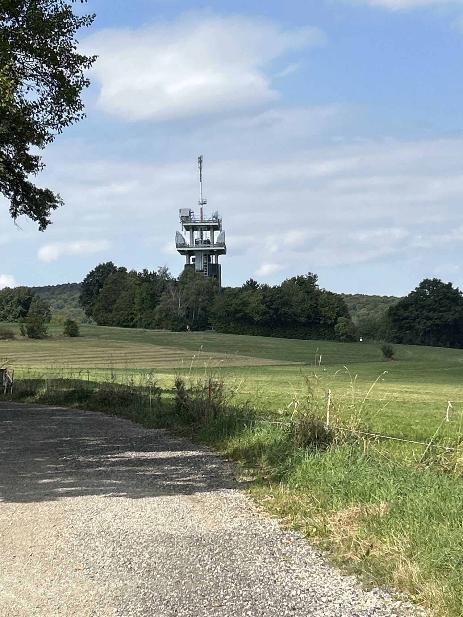
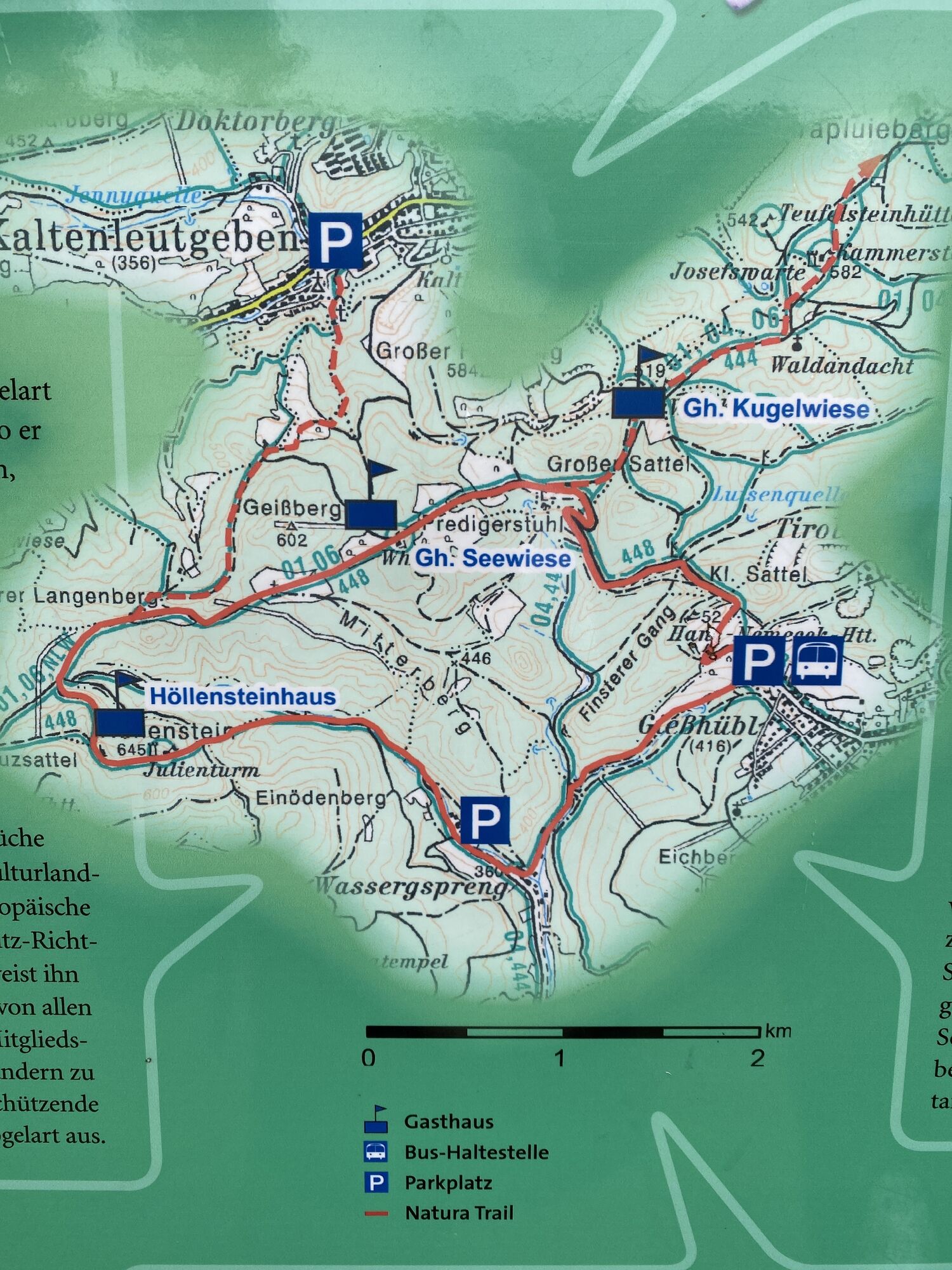
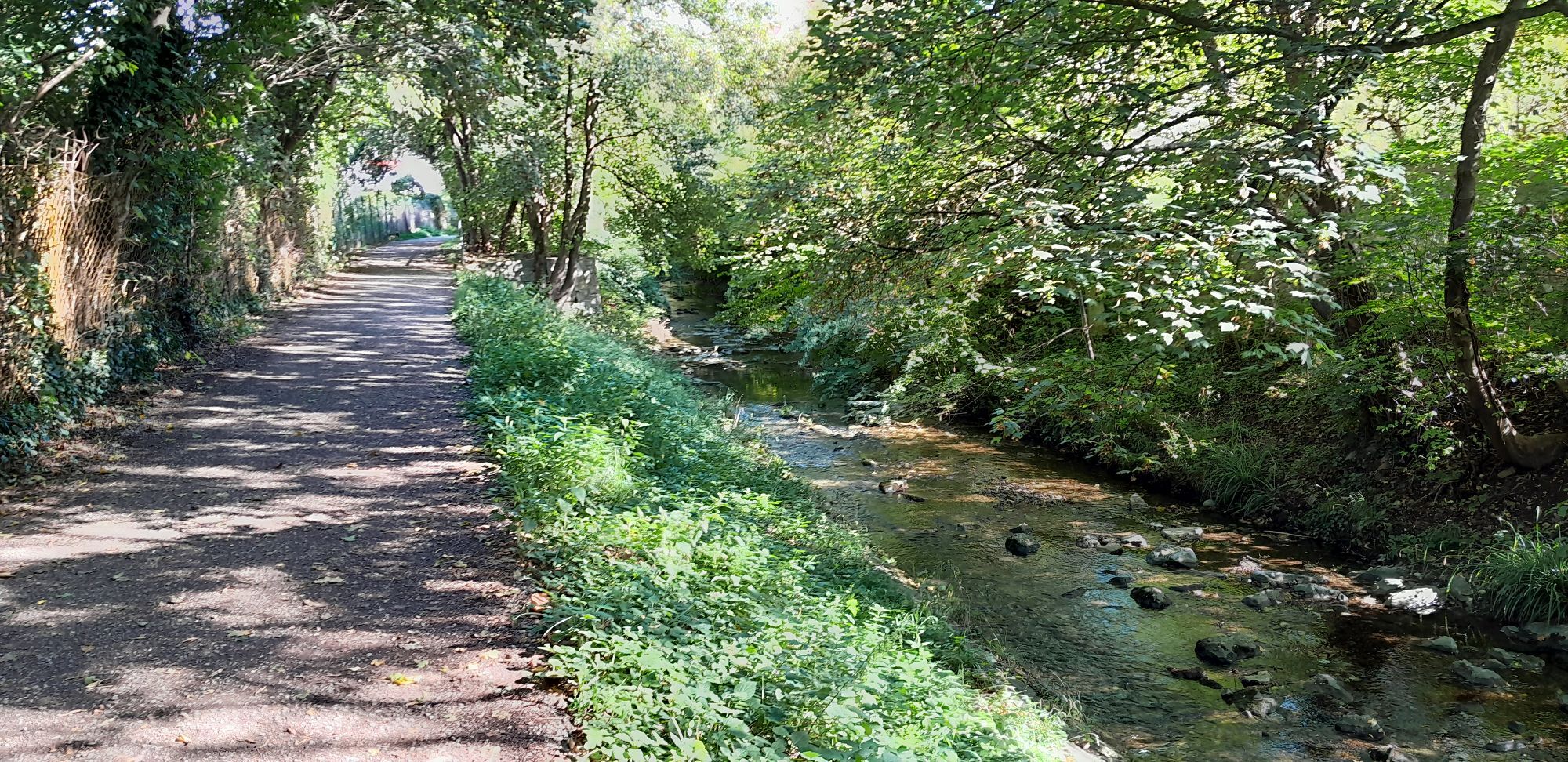
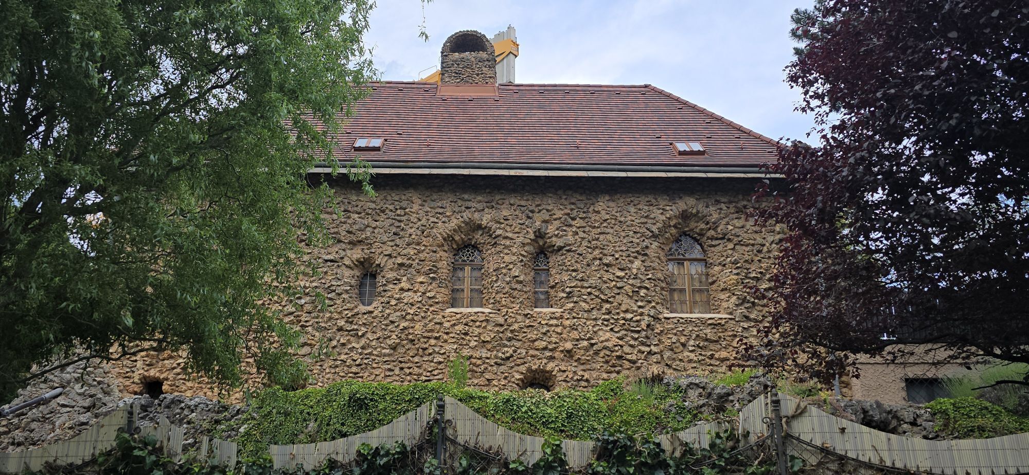
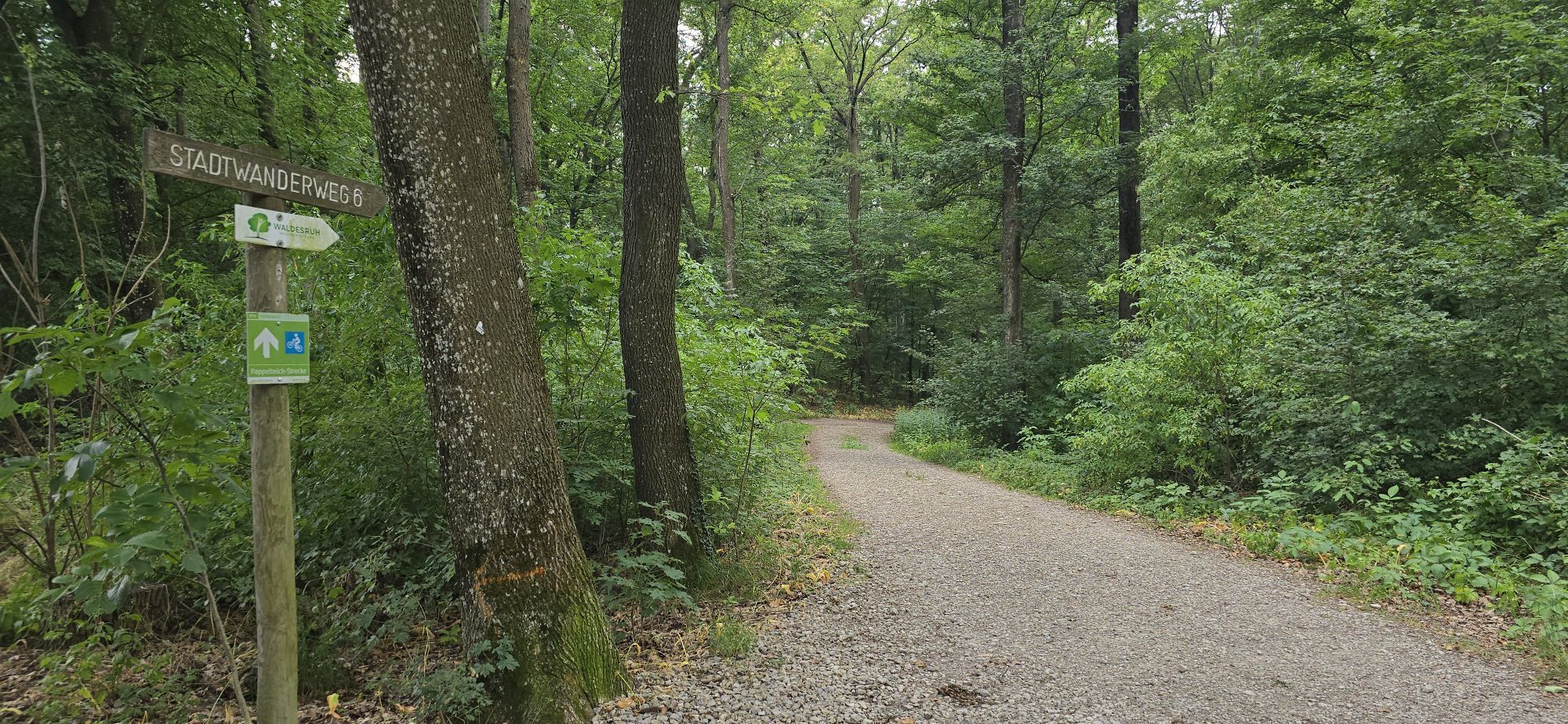
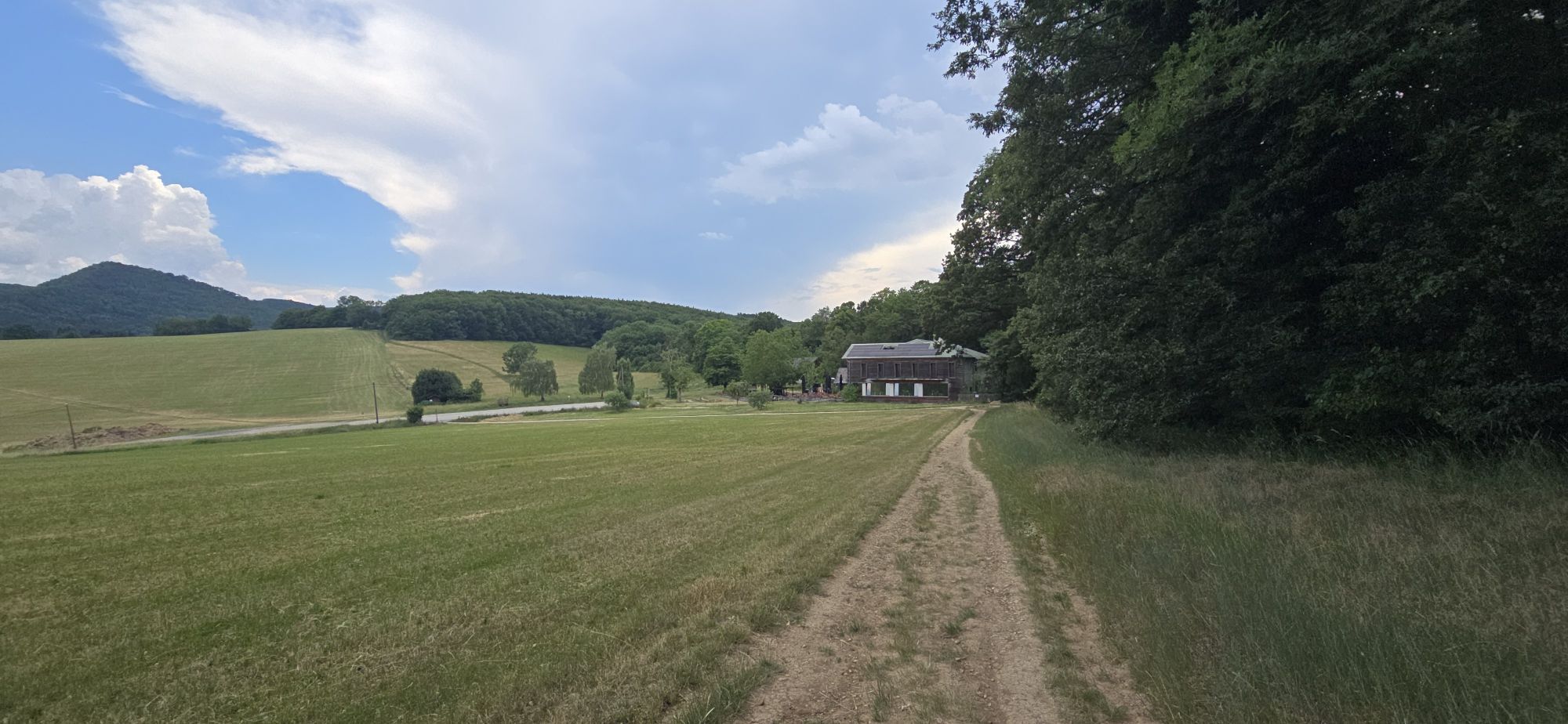
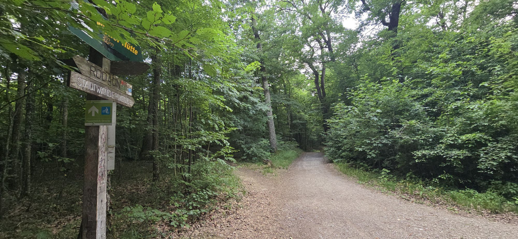
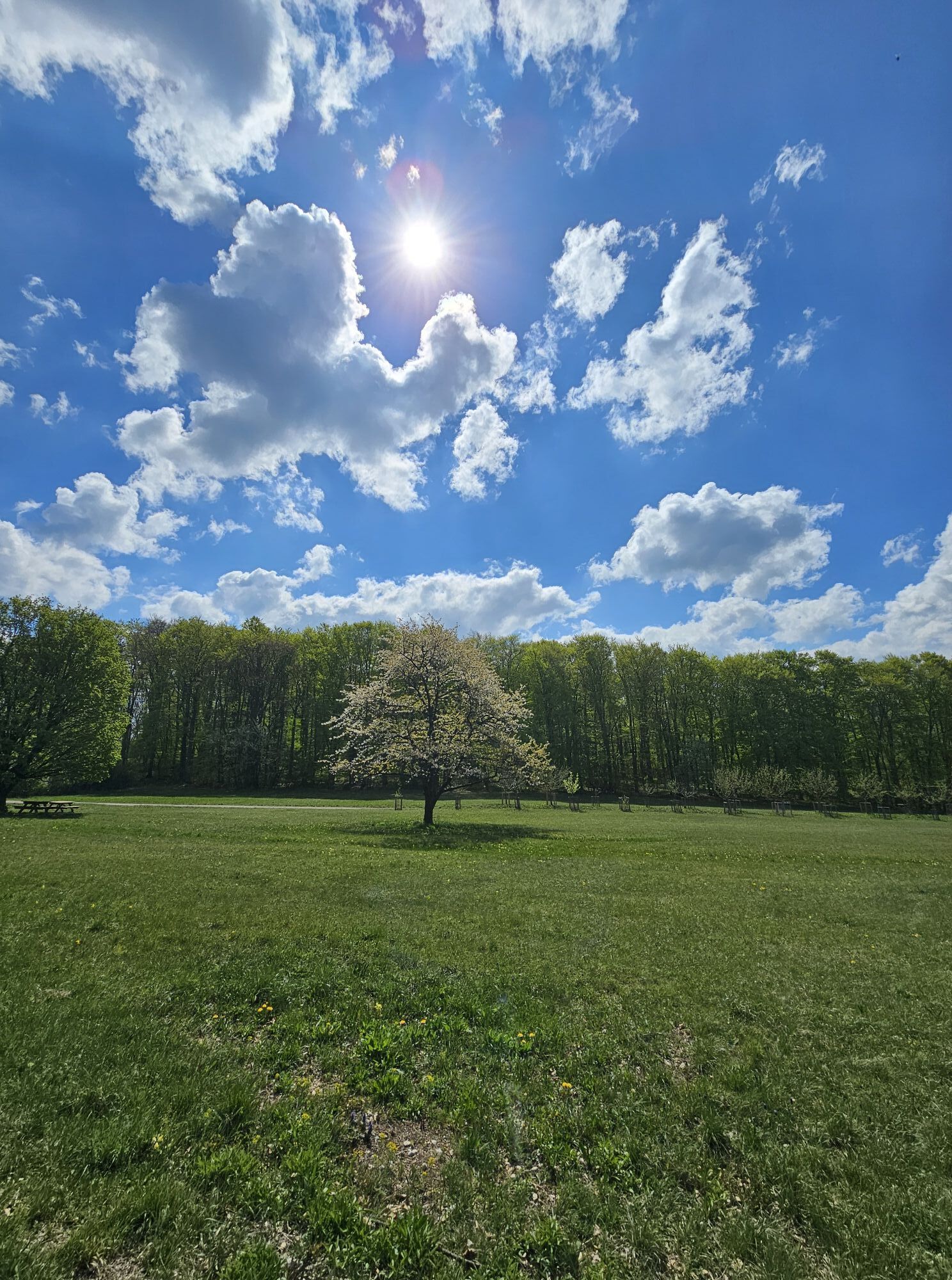
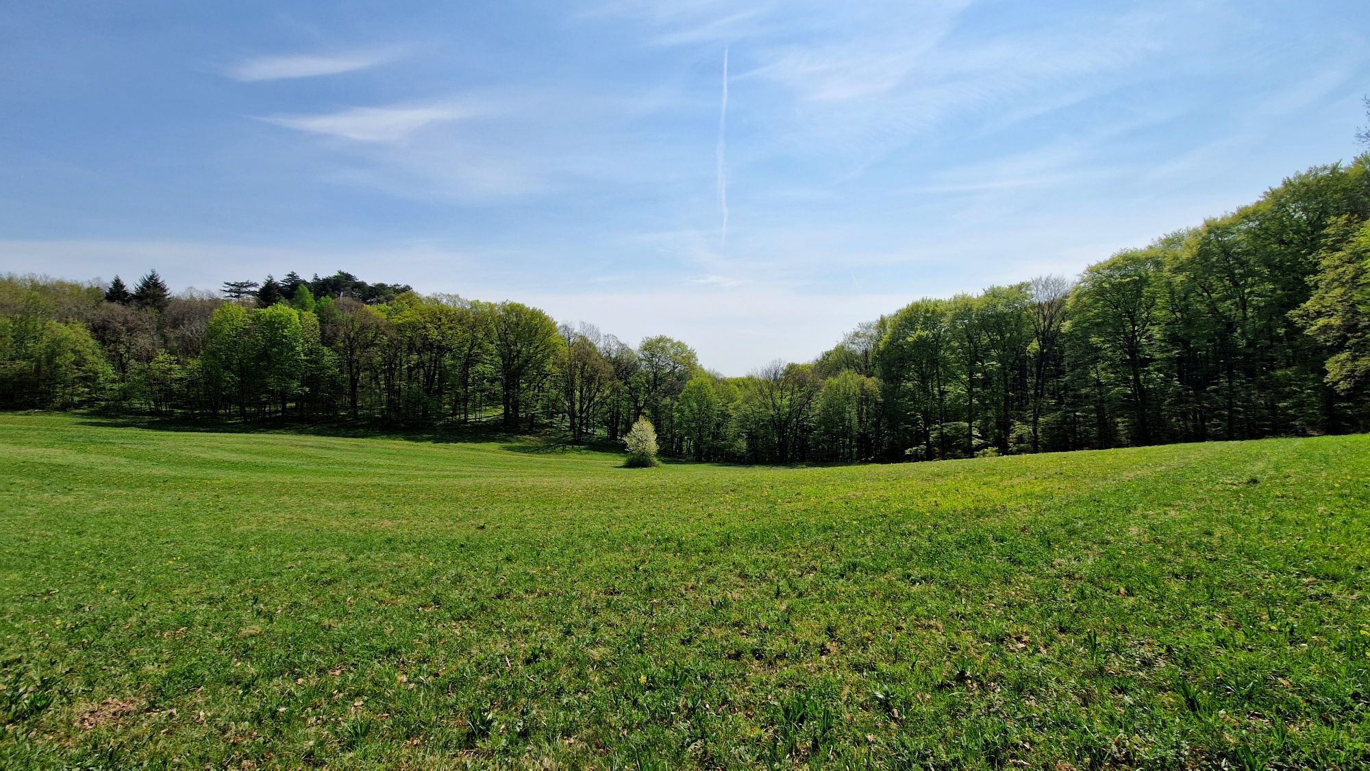
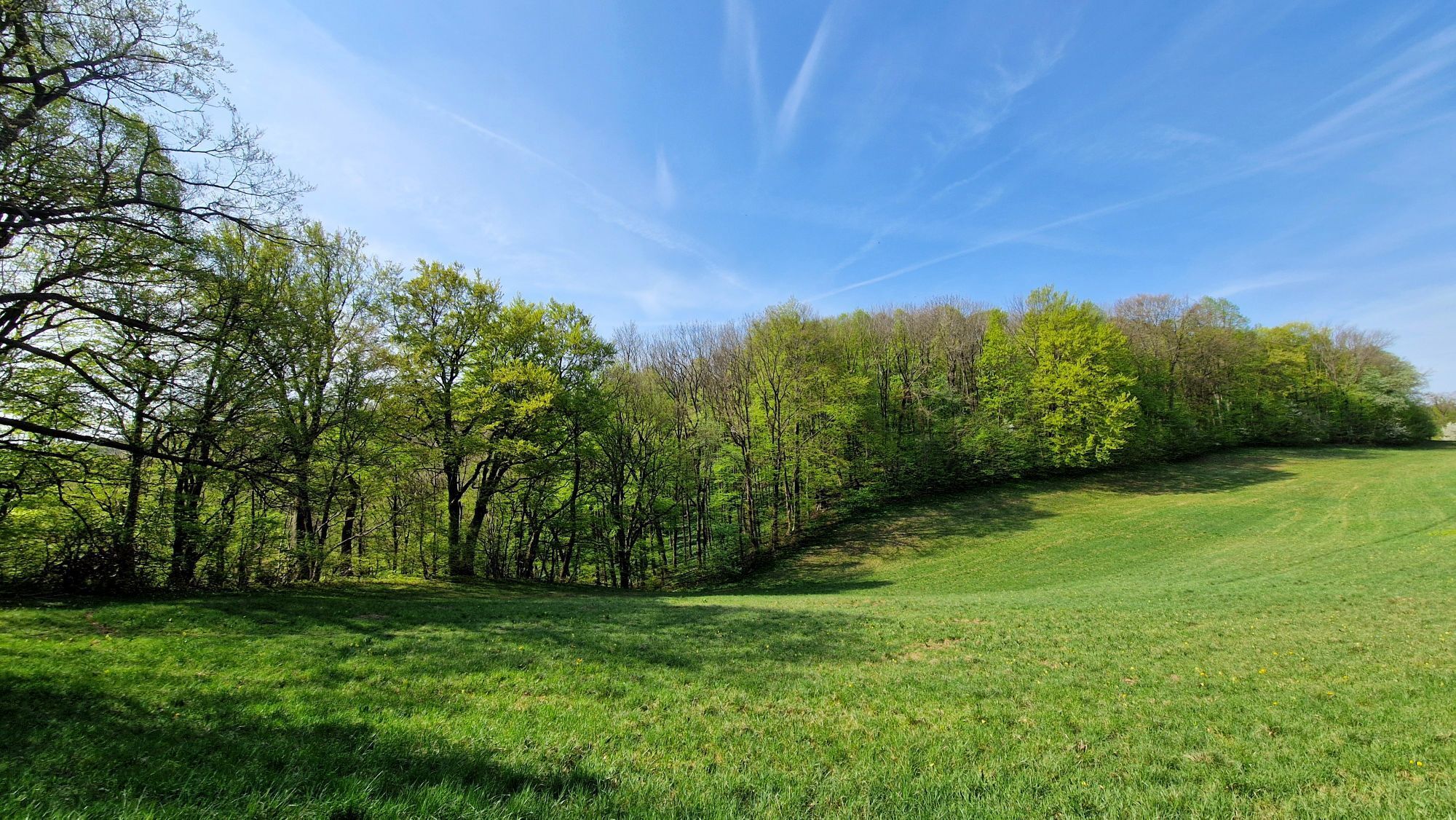
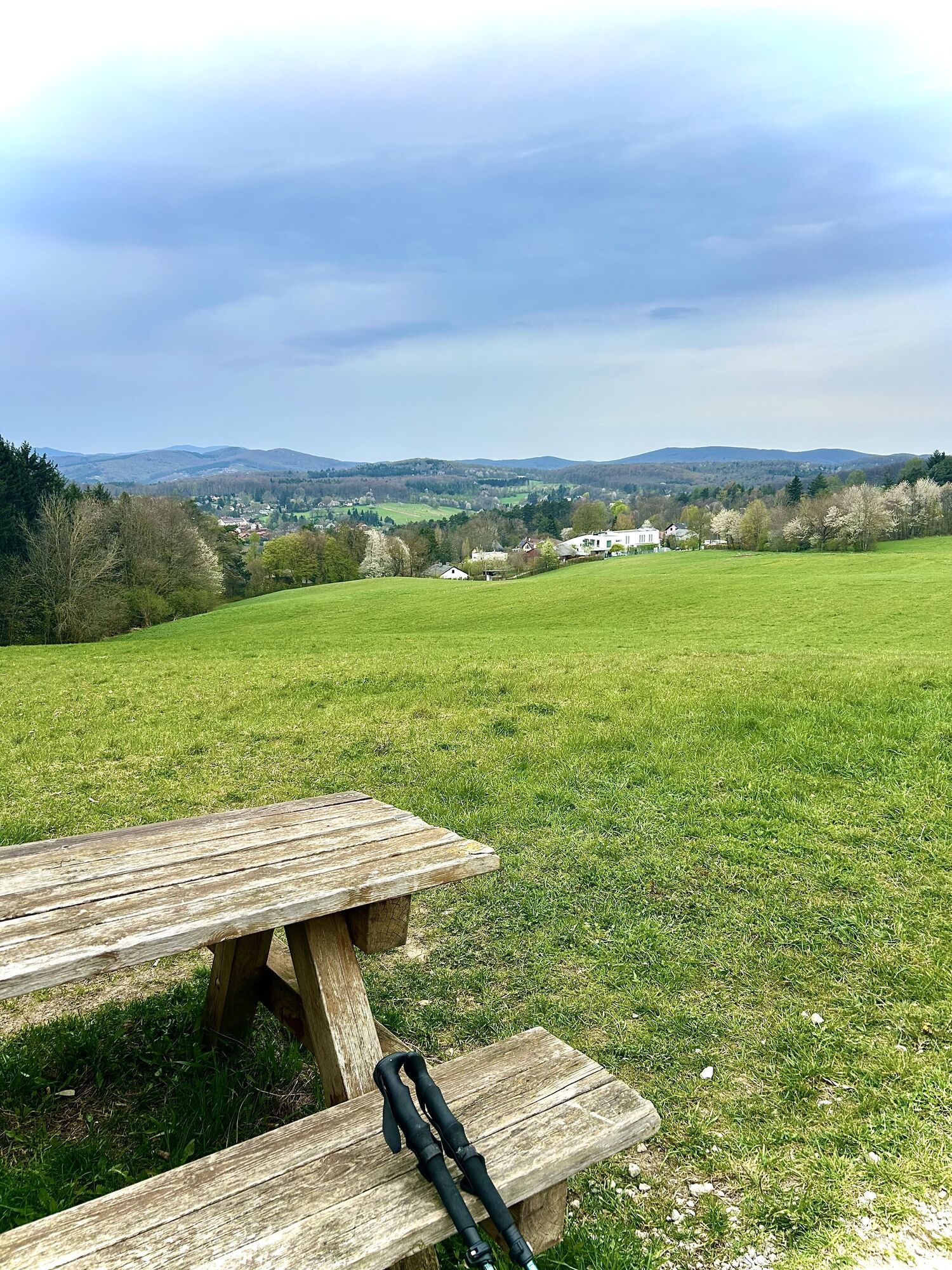
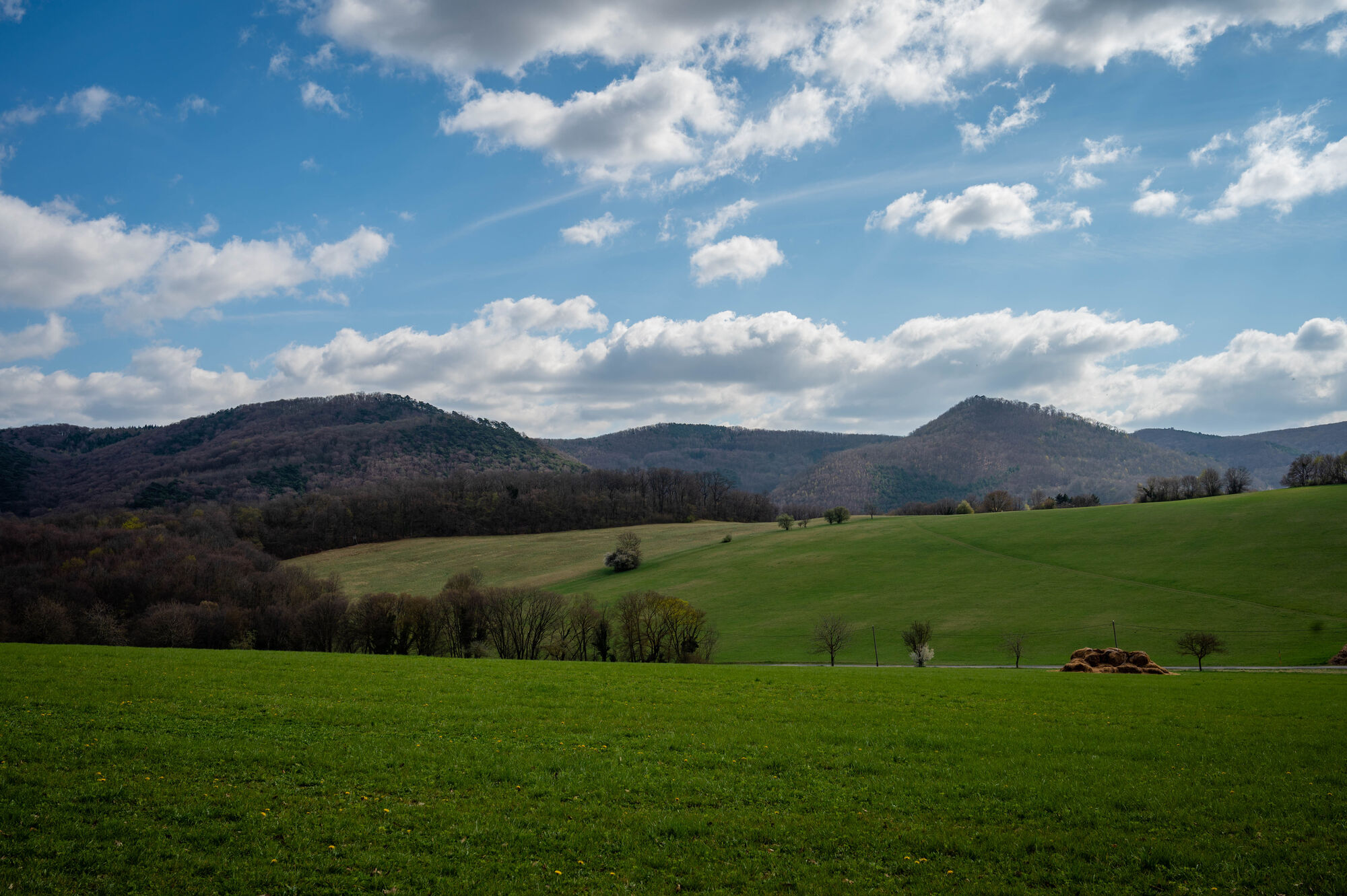
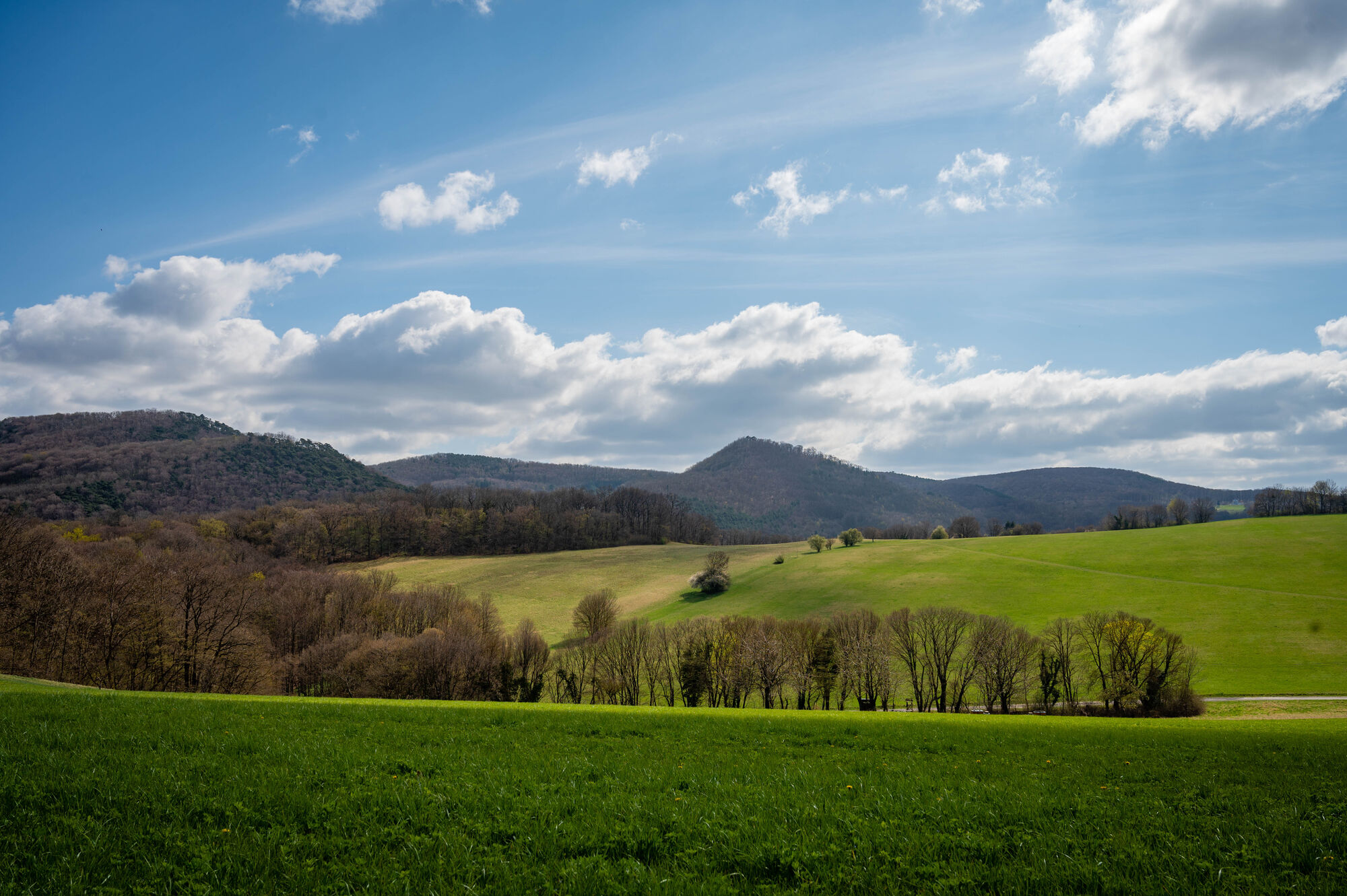
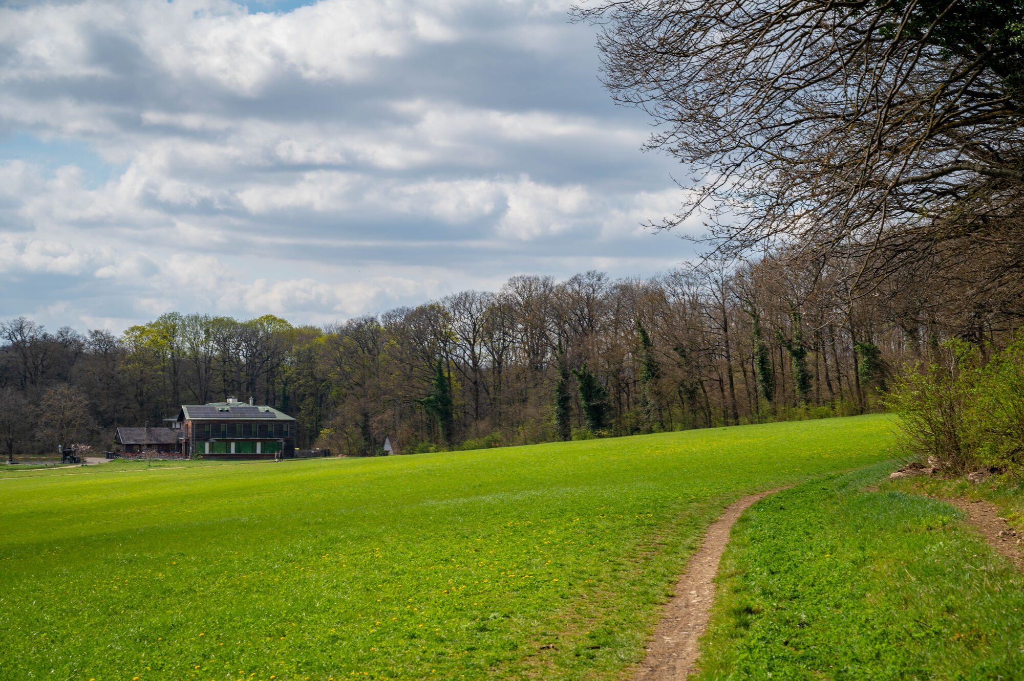
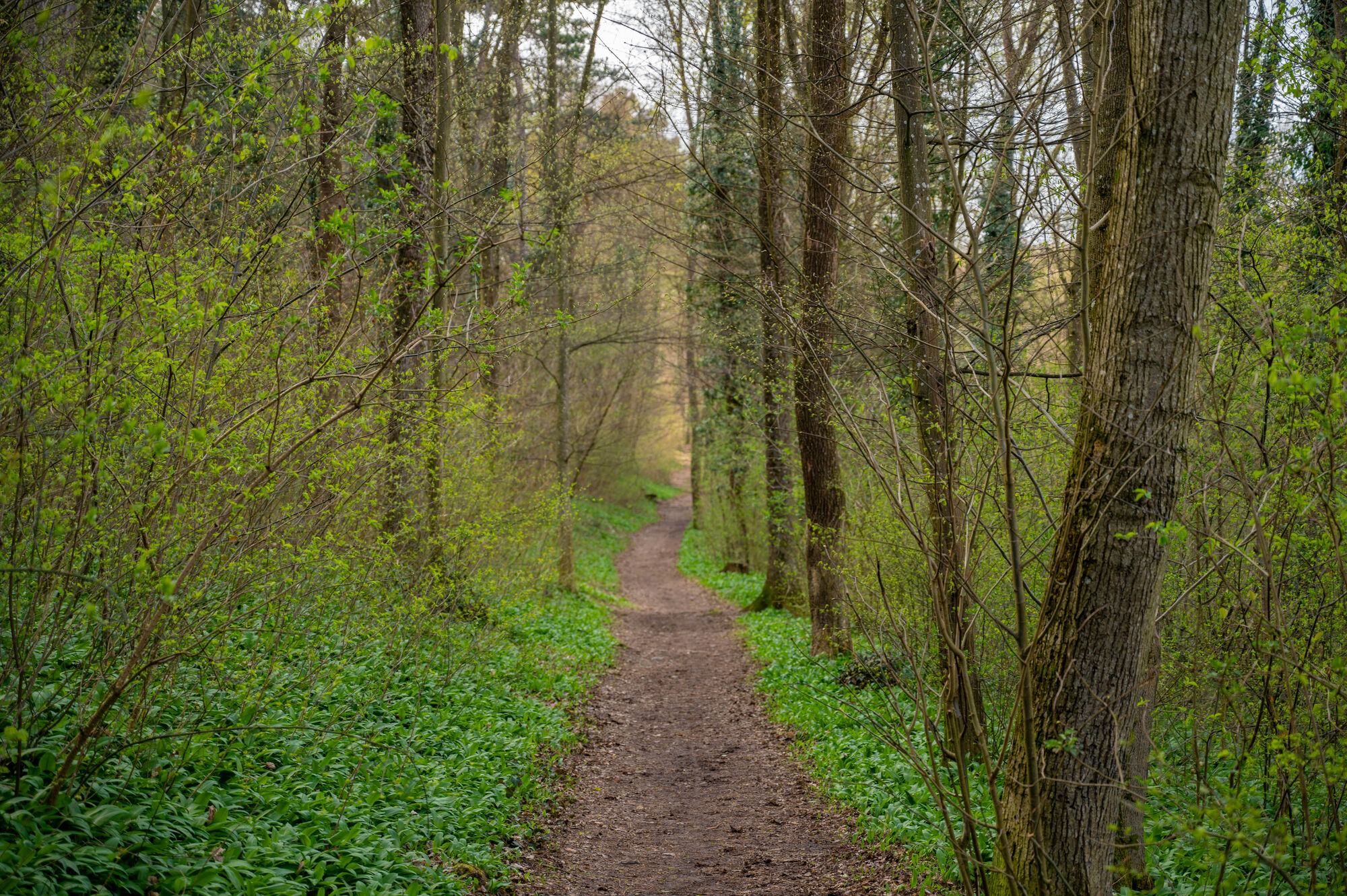
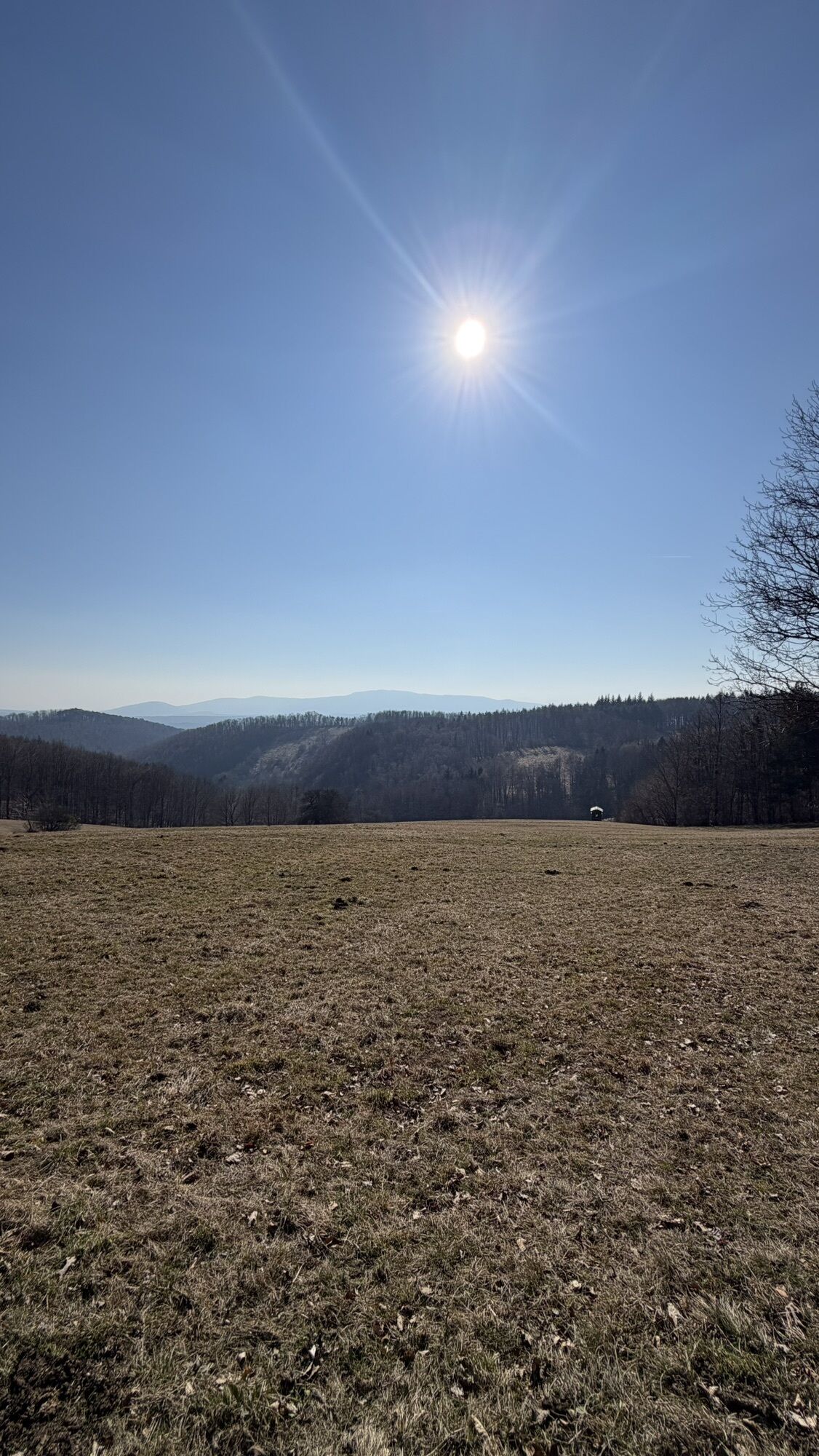
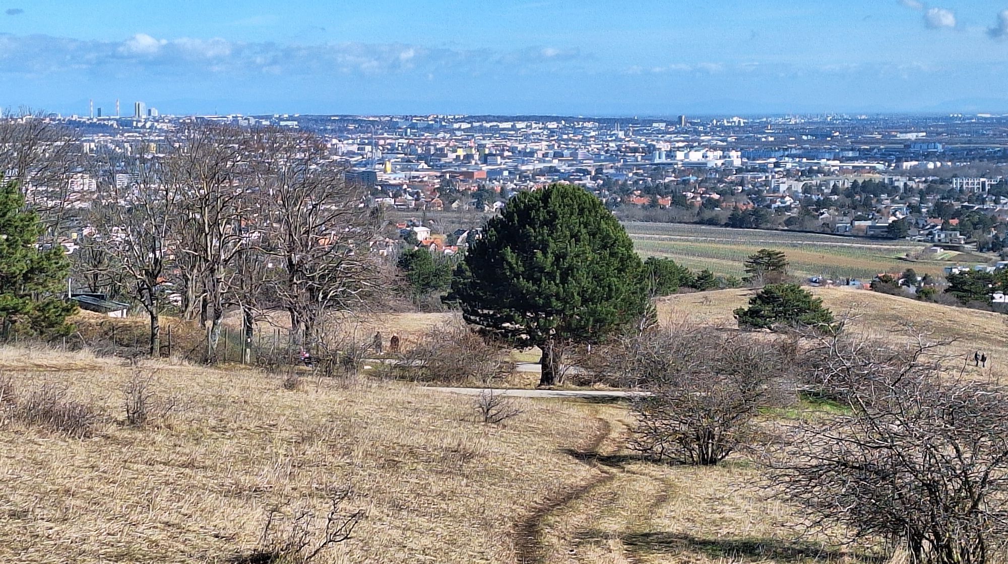
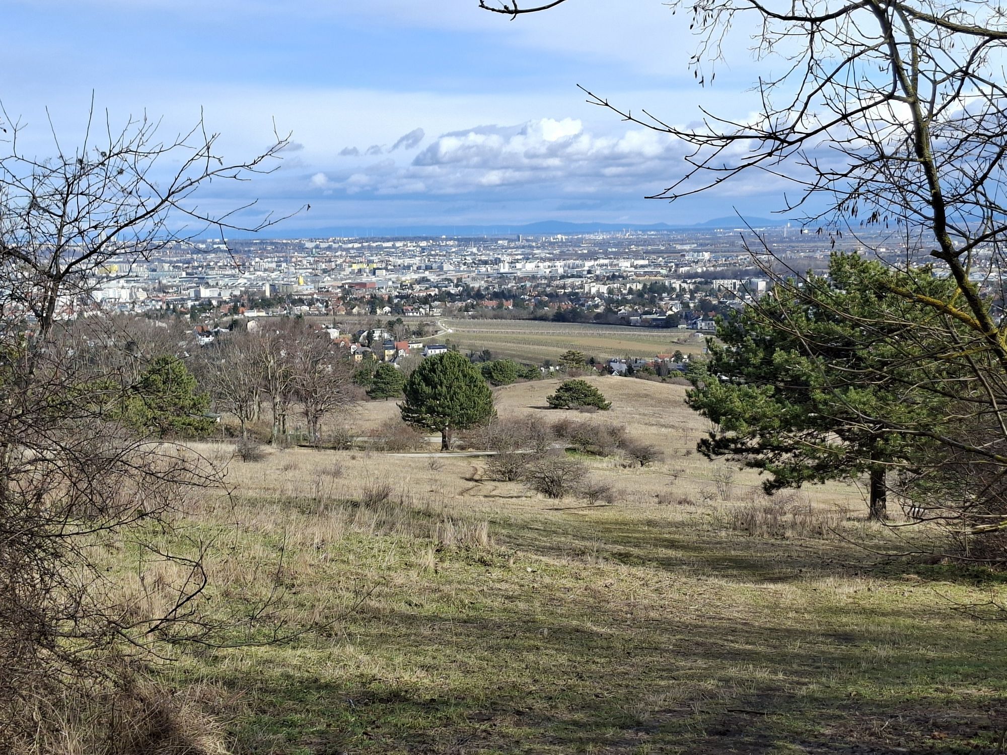
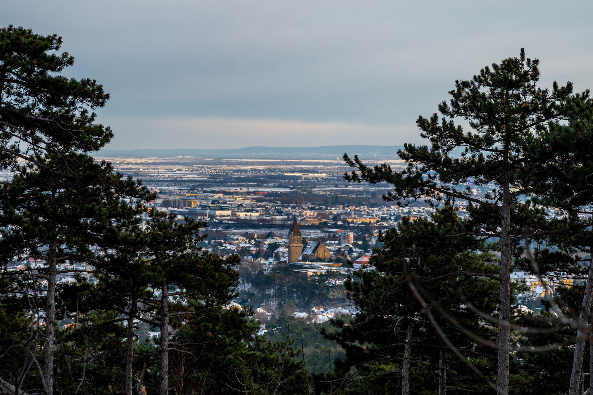
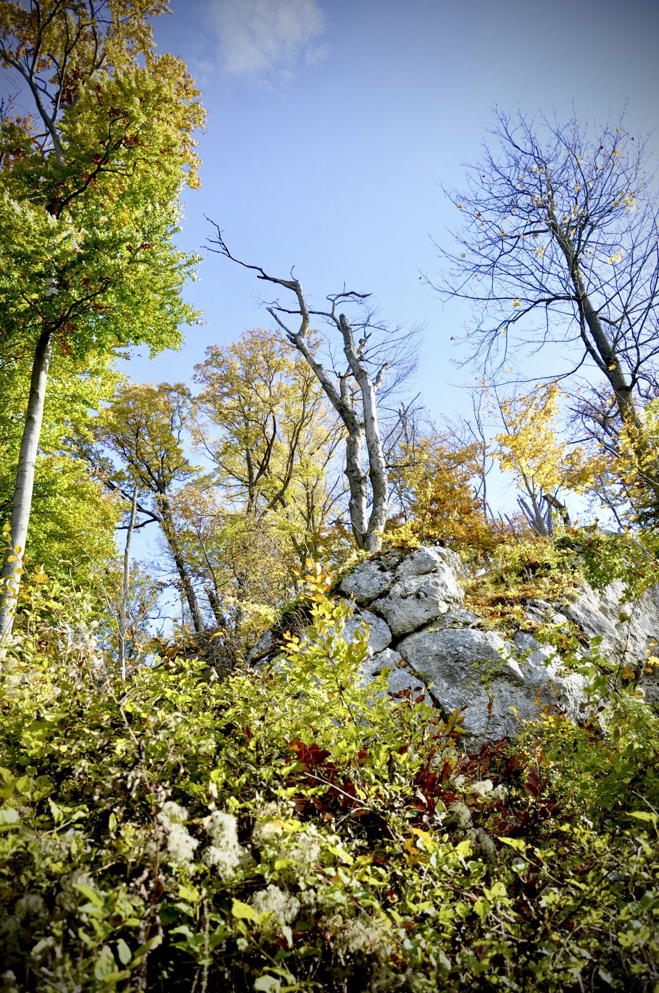
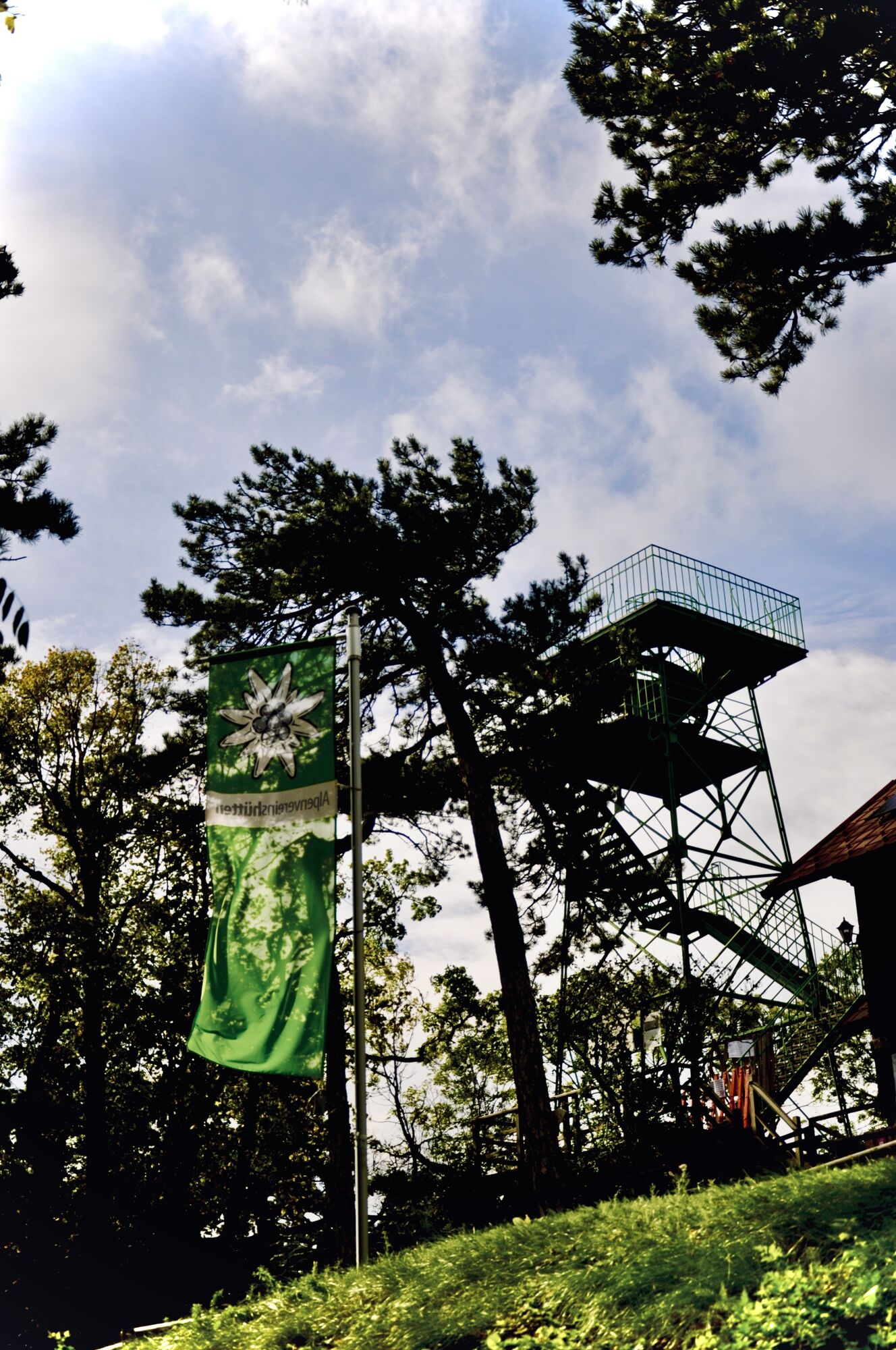
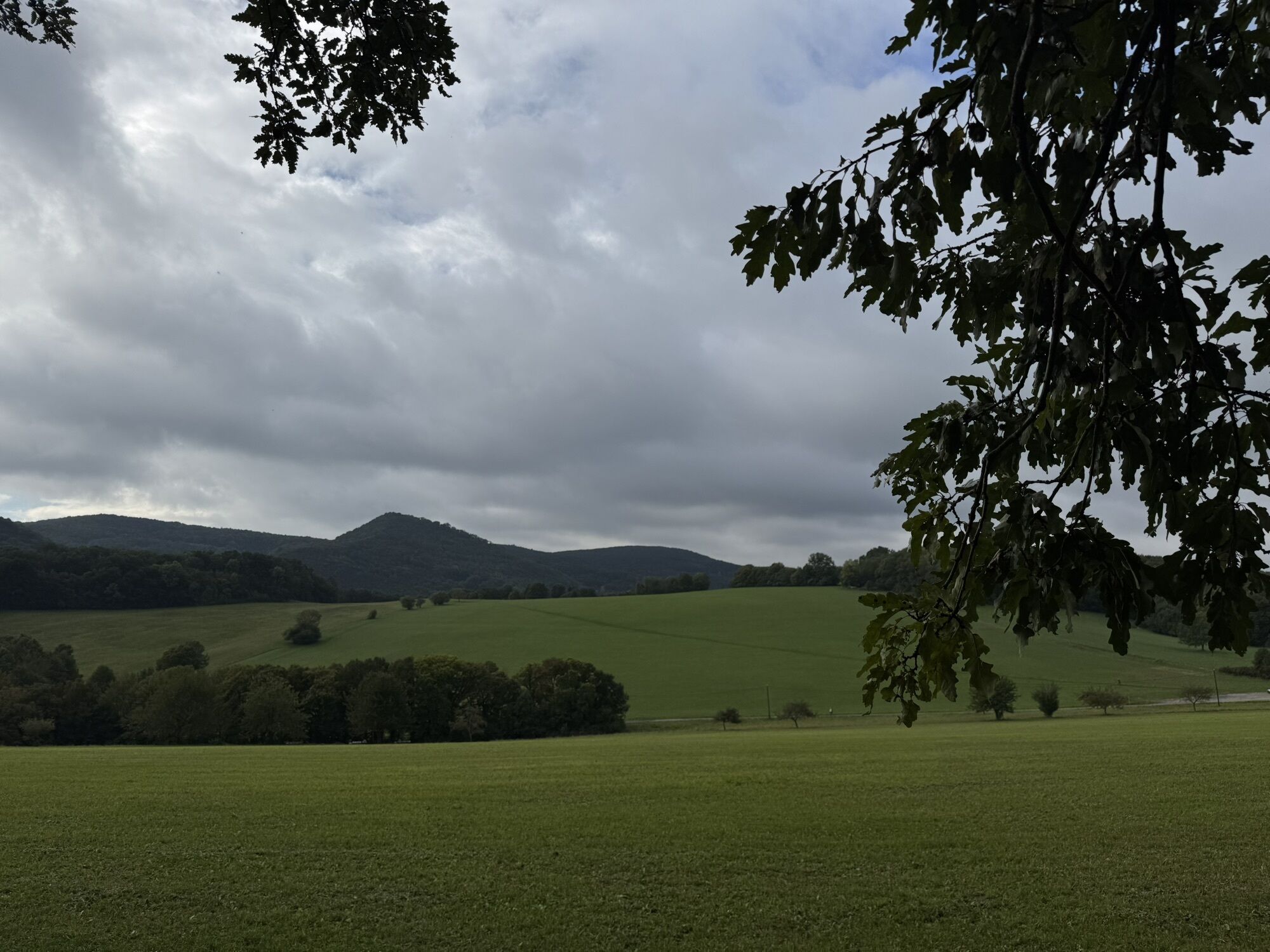
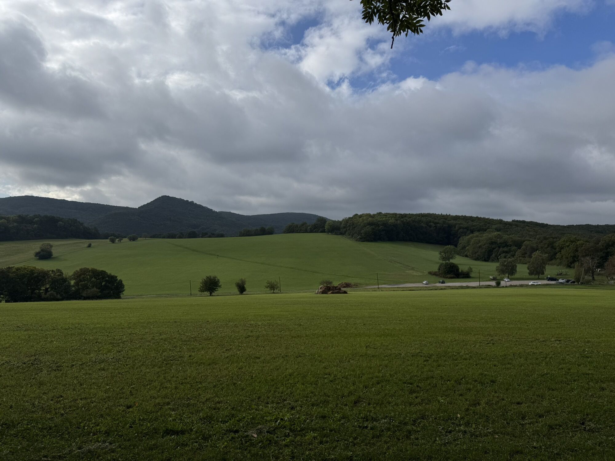
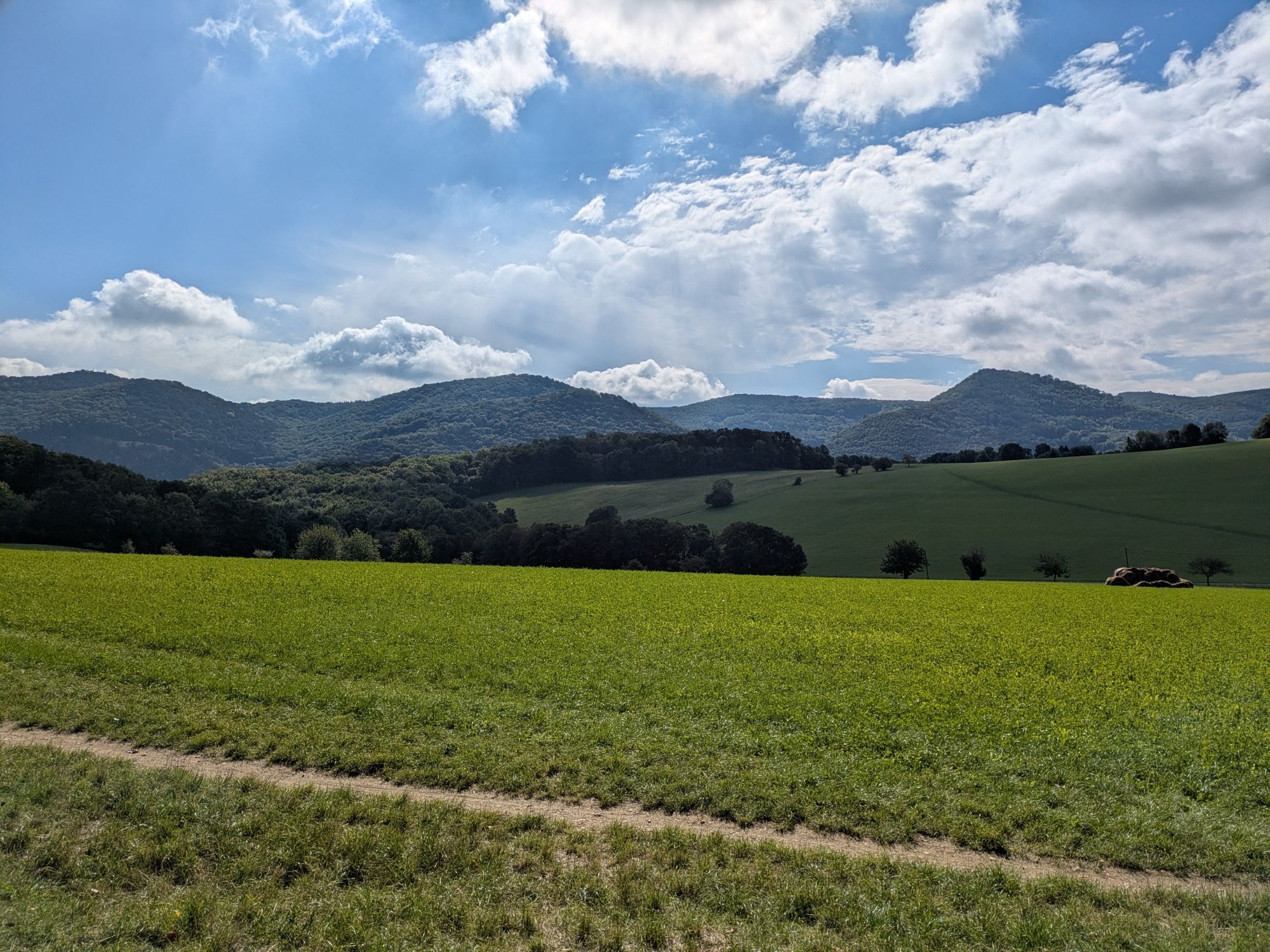
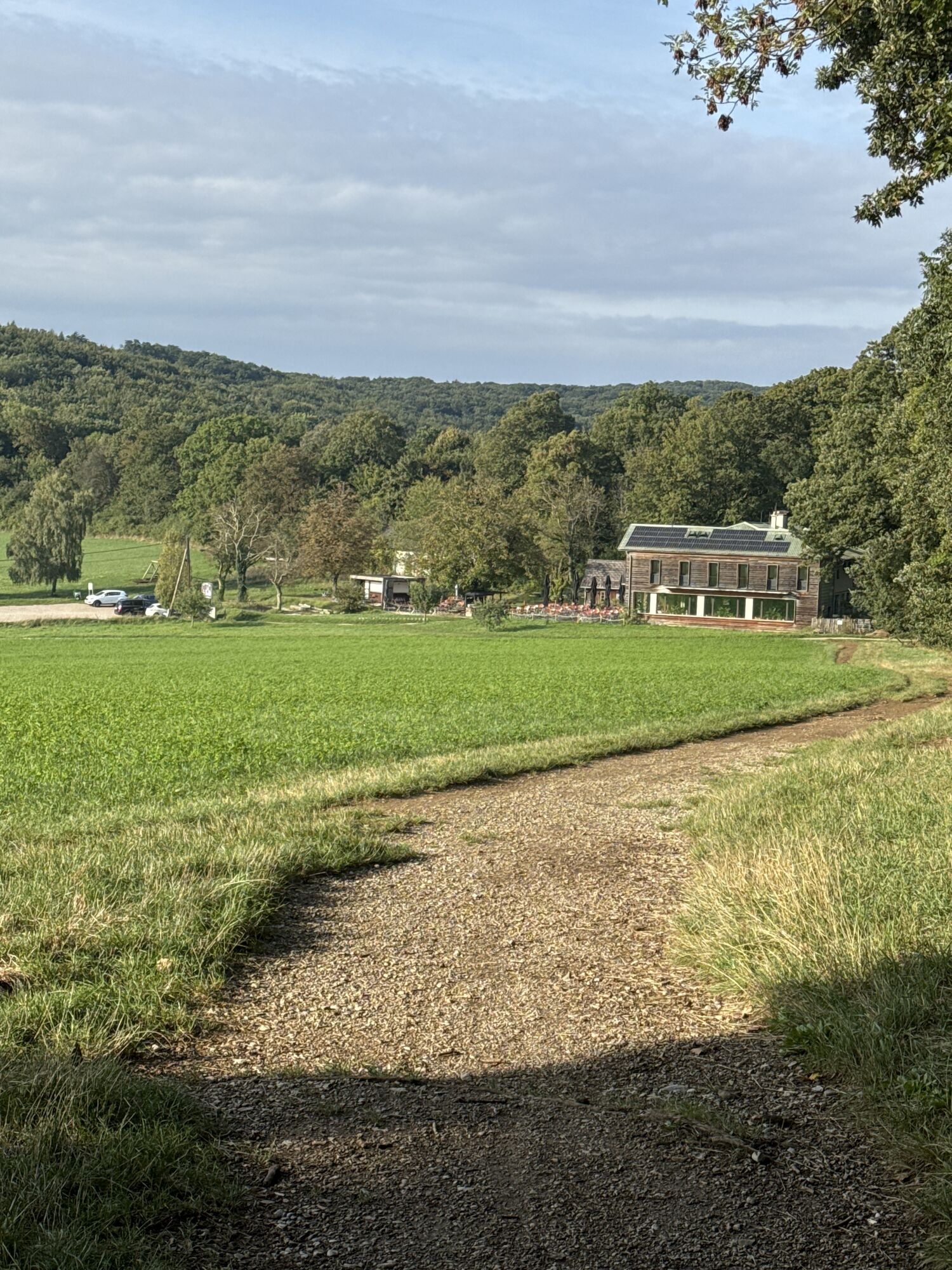
The ongoing maintenance of this route is supported by the WIENER HÜTTE.
Perchtoldsdorfer Heide - Waldandacht resting place - Gasthaus Kugelwiese zum Salzstanglwirt - Gasthaus Seewiese - Hochstraße resting...
<p><strong>The ongoing maintenance of this route is supported by the WIENER HÜTTE.</strong></p><p>Perchtoldsdorfer Heide - Waldandacht resting place - Gasthaus Kugelwiese zum Salzstanglwirt - Gasthaus Seewiese - Hochstraße resting place - Schöffel mountain rescue hut on Sporrer Hang - Sulzer Höhe - Sulz - Stangau - Wöglerin - Steingraben - Hirschentanz - power place Sieben Eichen - Helenenquelle - Doktorberg - Wiener Hütte - Leopoldsdorfer forest - Otto-Edelmann-Promenade - Ketzergasse - Hochstraße - Scholaugasse, Sonnbergstraße - Berggasse - Heath parking lot</p>

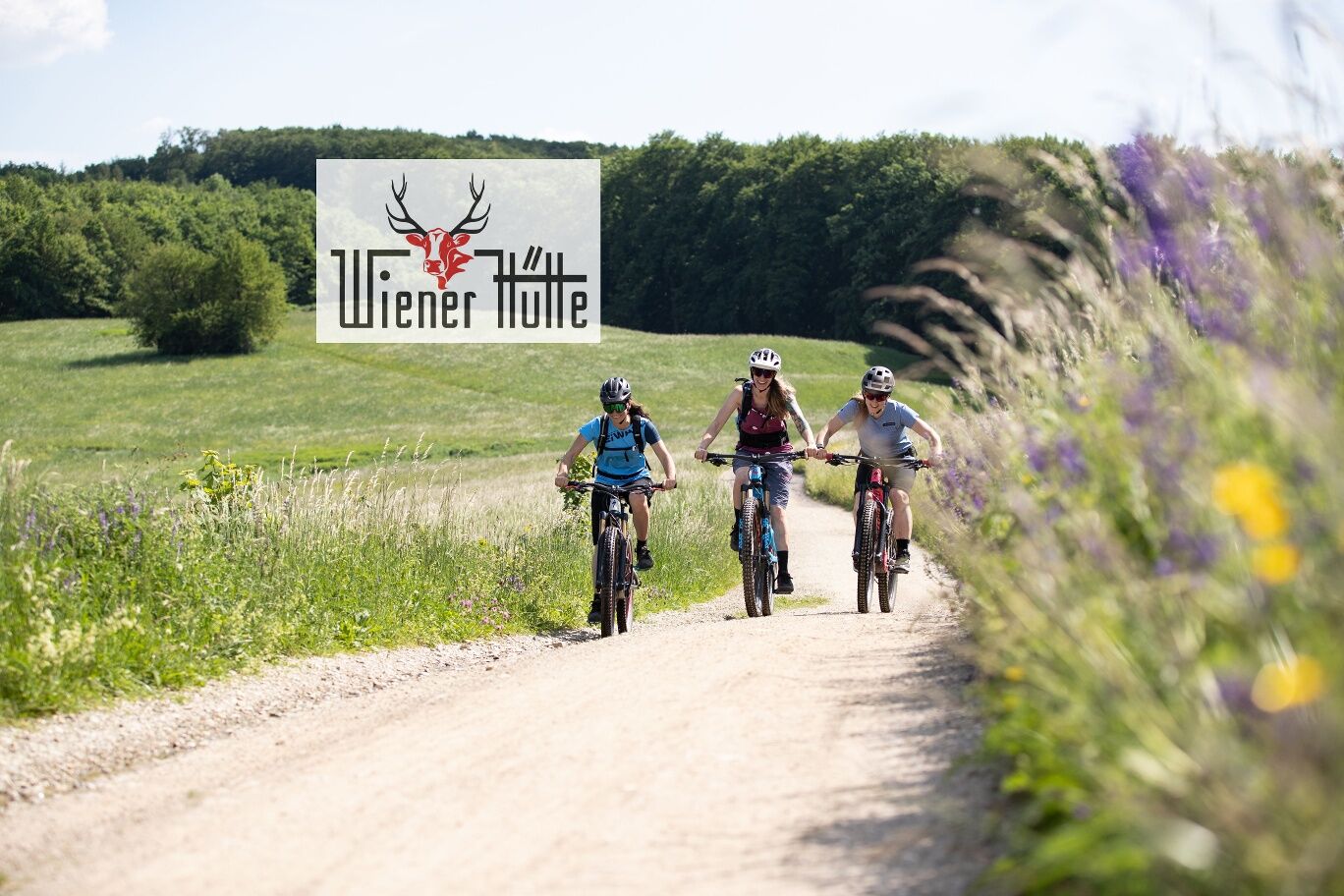

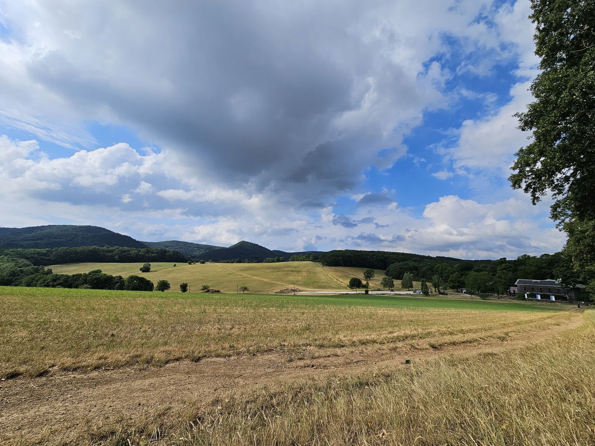
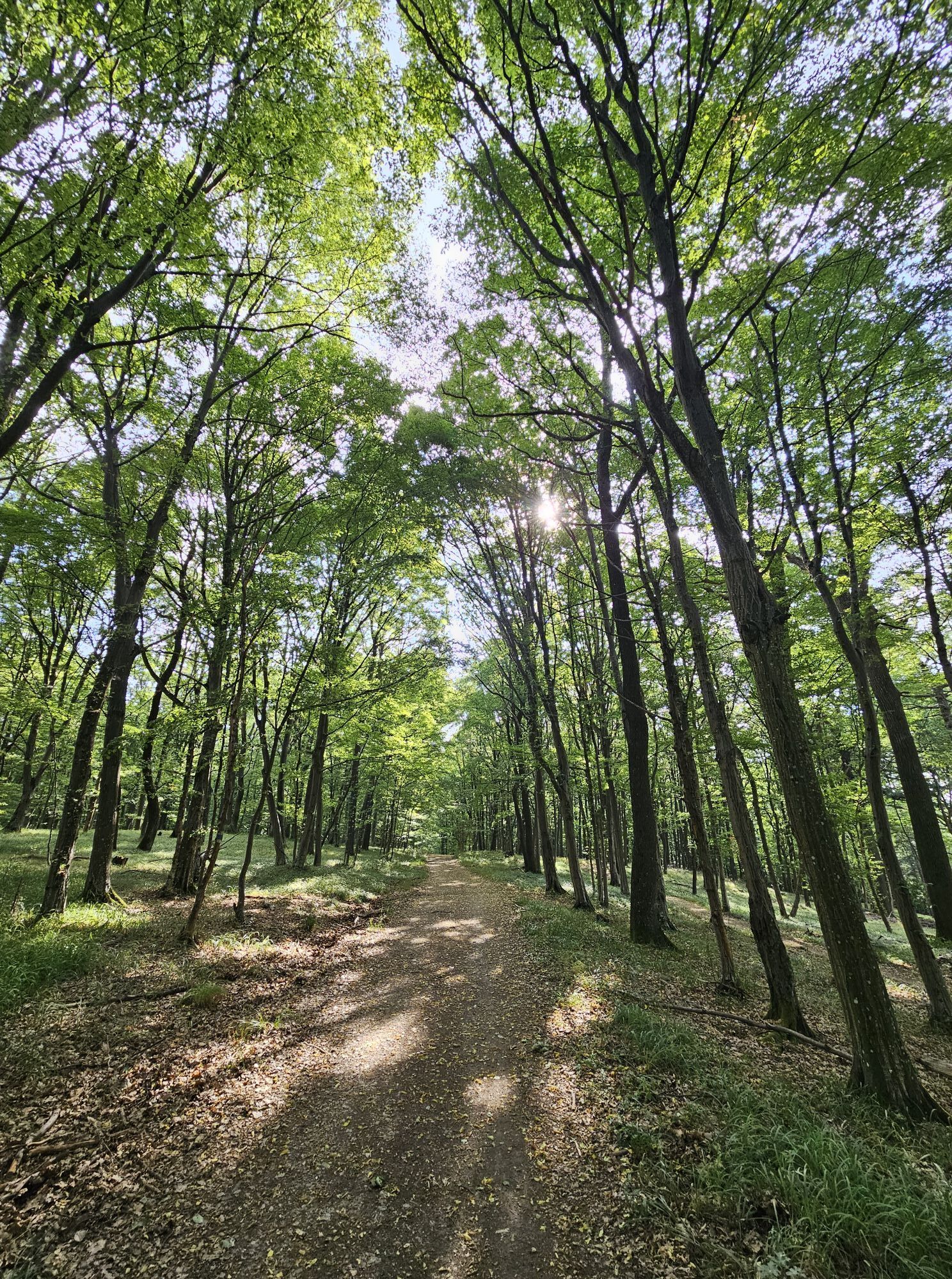
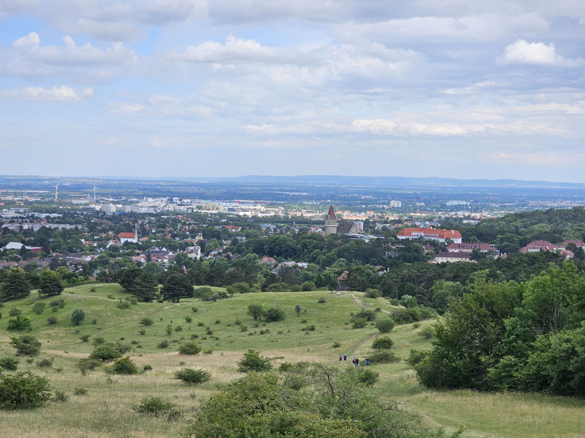
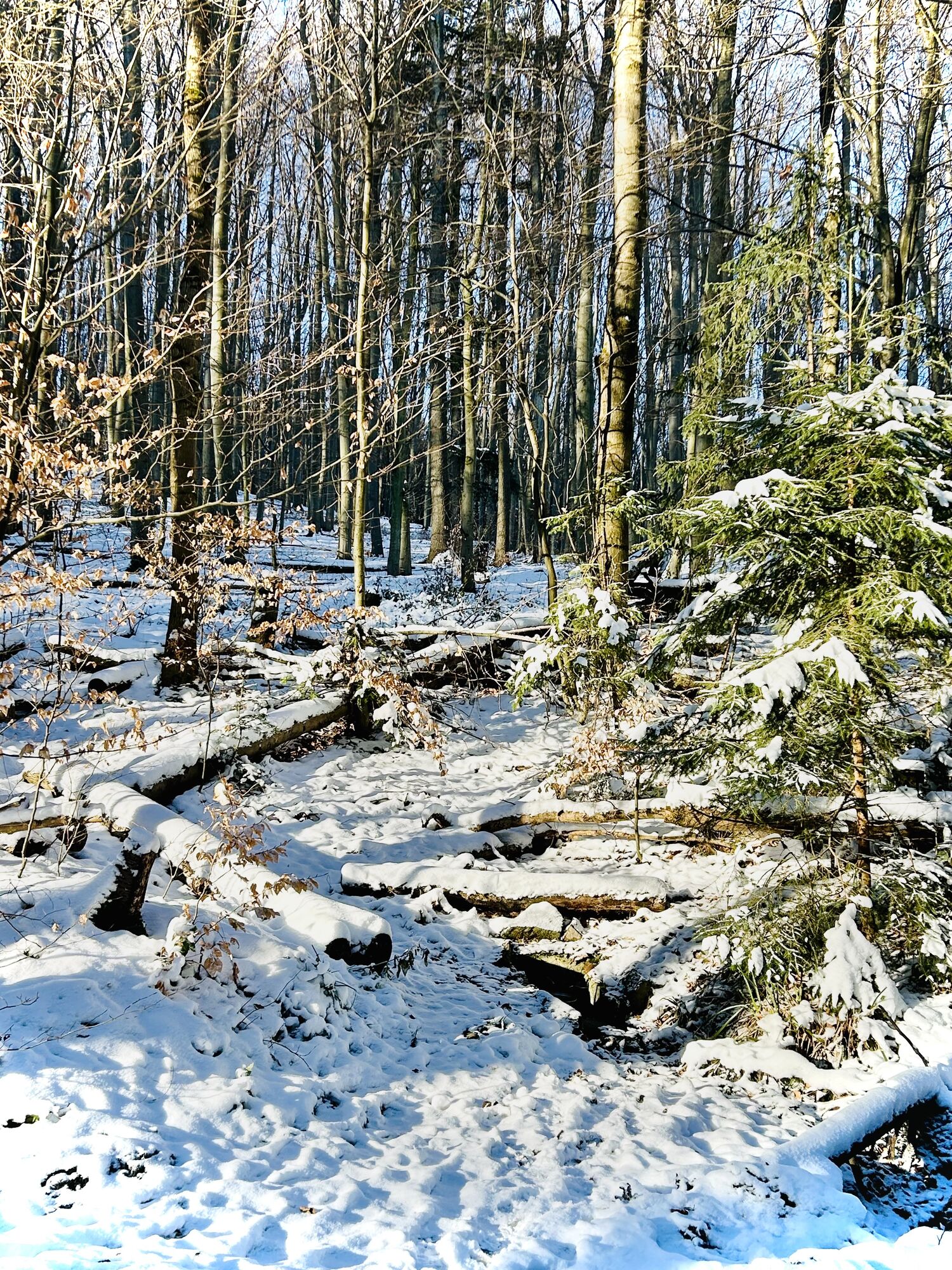
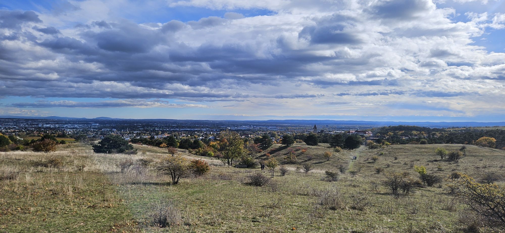
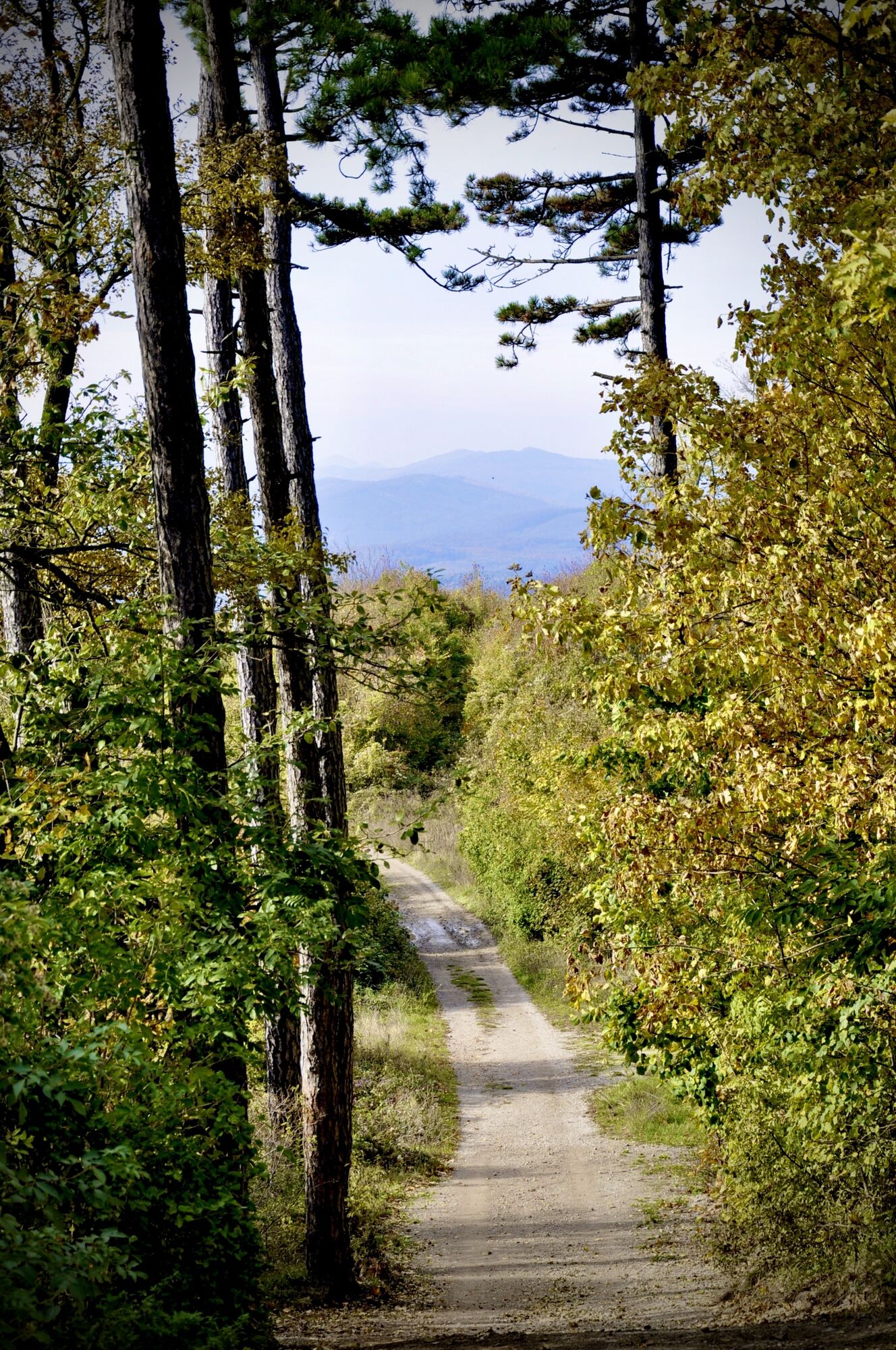
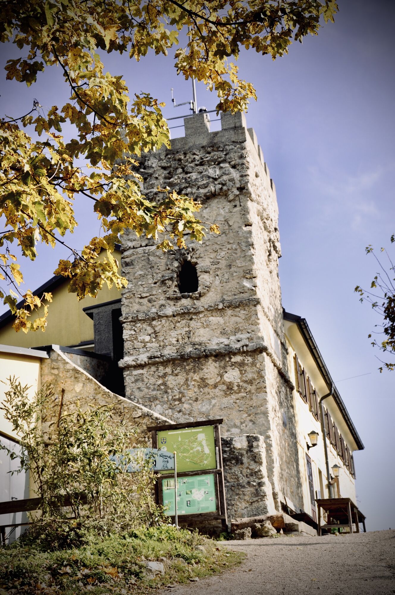
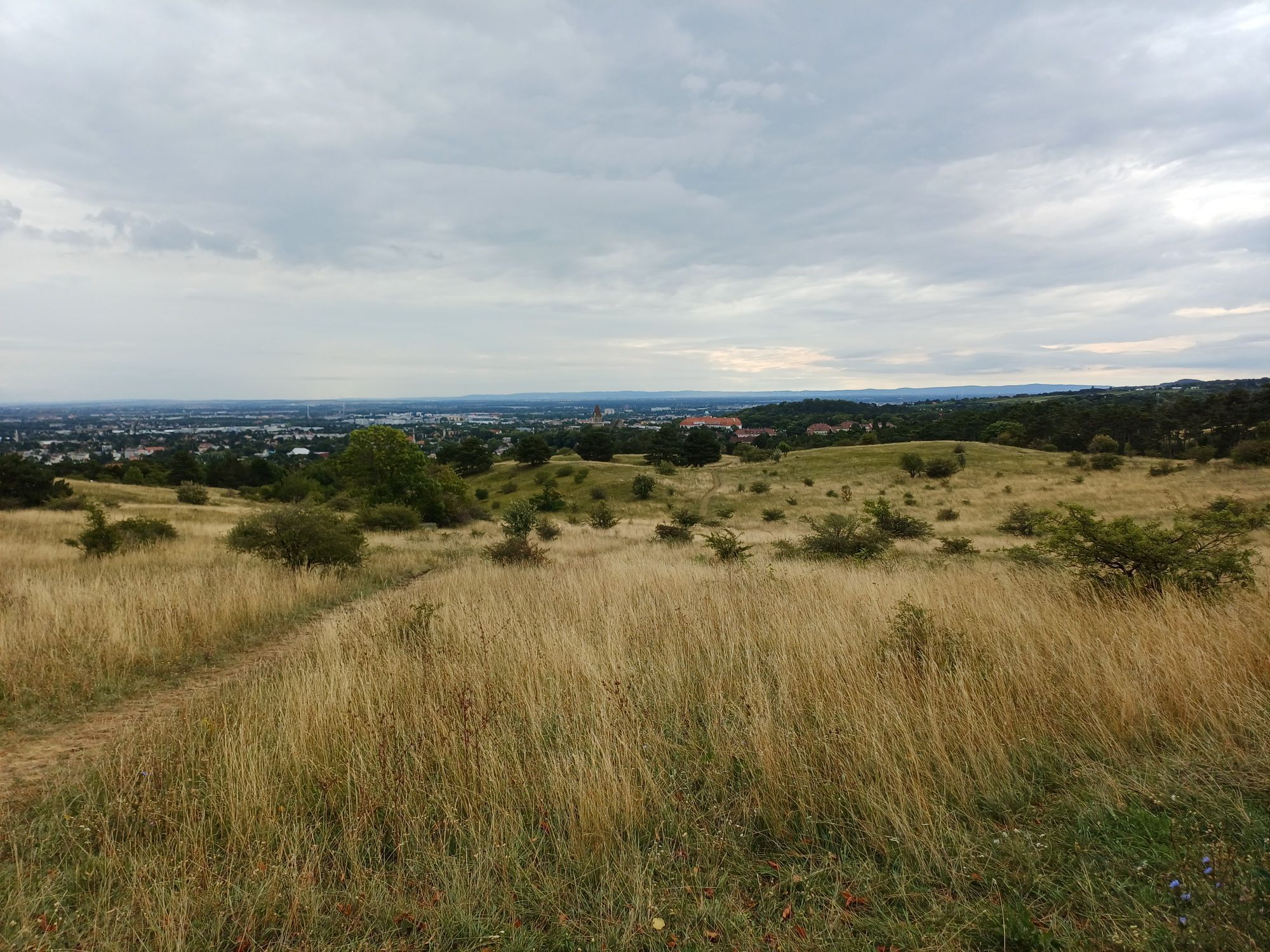
<p>The route immediately offers a highlight at the beginning, the Perchtoldsdorfer Heide, an internationally recognized eco-reserve. After the heath, we cycle almost continuously through the forest, past numerous places to stop such as Gh Seewiese or Kugelwiese, and reach Sulz. First street, then through the forest again, the route takes us to Breitenfurt and further via Hirschentanz to the Kaltenleutgeben sports field, where we join the Doktorberg trail and attractively continue to Wiener Hütte and back to the starting point.</p><p>Surface: Asphalt 25%, Gravel 70%, Forest/Meadow 5%</p>
<p>A safe and functional mountain bike is a prerequisite for all routes. Helmet and gloves protect during falls and can be supplemented with knee and elbow protectors on single/shared trails. A modern mountain bike with disc brakes and sufficient tire tread is recommended. For single and shared trails from the red difficulty level, a fully equipped bike with modern geometry is recommended. Tools, tire levers, pump, and spare tube help in case of a breakdown. Enough provisions (drinks and food) should also be brought along, as well as a mobile phone and wind/rain jacket.</p>
<p>Before every ride check the functionality of brakes, tires, and suspension fork/shock absorber. Always ride with hazard awareness and controlled speed and adapt the route choice to the group's riding skills and the ground conditions. The <strong><a href="www.wienerwald.info/mountainbiker-fai... Play</a></strong> rules must always be observed. Single/shared trails as well as built tracks in trail parks and trail centers often have stones, roots, steep sections, steps, and sharp turns that require certain riding skills. In case of doubt, simply dismount and push the bike.</p>
<p>Take tram 60 or bus 60A to Rodaun</p><p>then follow the signs to the heath for about 10 minutes</p>
<p>Heath parking lot (Berggasse/Lohnsteinstraße) in Perchtoldsdorf!</p>
The elevation data for this route were calculated based on the A-MAP. Slightly different data are unavoidable due to various map bases from routing/navigation apps and devices. More information can be found in the following blog post!
Wienerwald Tourismus GmbH
Hauptplatz 11, 3002 Purkersdorf
Tel.: 02231/62176
E-Mail: office@wienerwald.info
Website: www.wienerwald.info
”Dry grasslands are extremely rare and strictly protected habitats Europe-wide with unique animal and plant life. Riding on the heath dry grasslands off the asphalt road is therefore prohibited. Please take this into consideration!”
Interesting link - Perchtoldsdorfer Heide
Information for possible excursion destinations:
WienerwaldKaltenleutgebenBreitenfurt bei WienPlaces to stop with award:
Landgasthaus StockerwirtWiener HüttePlaces to stop:
KammersteinerhütteTeufelsteinhüttePostschänke Infórmate
Siempre en directo con más de 9.500 webcams. bergfex Como usuario Pro, ahora puede ver las webcams correspondientes a muchos tours en la app de tours desde. Esto le permite ver las condiciones actuales directamente.
Infórmate
Siempre en directo con más de 9.500 webcams. bergfex Como usuario Pro, ahora puede ver las webcams correspondientes a muchos tours en la app de tours desde. Esto le permite ver las condiciones actuales directamente.
Rutas populares en los alrededores
-
4,8
Kalenderberg und Burg Liechtenstein
luzSenderismo 8,48 km -
4,8
Landschaftspark Liechtenstein - Angelos Touren
luzSenderismo 6,70 km -
4,7
AUGUSTINERHÜTTE Parkplatz bei B210 Hoher Lindkogel, Langes Tal 20221030
medioSenderismo 8,02 km -
4,6
Angelos Touren: vom Helenental auf den Hohen Lindkogel
medioSenderismo 11,4 km -
4,6
Abend/Nachtwanderung Teufelstein
luzSenderismo 7,15 km -
4,6
Naturpark Sparbach
luzSenderismo 7,08 km -
4,6
Stadtwanderweg 6 / Zugberg - Maurer Wald (lt. Beschilderung)
luzSenderismo 13,3 km -
4,6
Stadtwanderweg 4
luzSenderismo 8,48 km -
4,6
Wienerwald: Maria Raisenmarkt - Peilstein
luzSenderismo de invierno 6,82 km -
4,6
Rundwanderung Gablitz Gemeindeamt - Troppberg - Rabenstein - Gablitz Gemeindeamt
luzSenderismo 12 km
Senderismo y rastreo


No se pierda las ofertas y la inspiración para sus próximas vacaciones
Su dirección de correo electrónico se ha añadido a la lista de correo.





