




Ruppersthal running and hiking trail

The well-signposted hiking route can be walked throughout the year and begins at Ignaz Josef Pleyel Square. It then continues via Kirchengasse to Riedweg. On sunny days, hikers are offered a unique view...
<p>The well-signposted hiking route can be walked throughout the year and begins at Ignaz Josef Pleyel Square. It then continues via Kirchengasse to Riedweg. On sunny days, hikers are offered a unique view of the entire Tullnerfeld and the distinctive peaks of the Alpine foothills such as Schneeberg, Rax, and Ötscher.
While walking along the Riedweg, you can admire the wonderful vineyards on the southern slope of the Kogel before heading back towards the district "Siedlung." From there, it goes past Müller’s stud farm to the Lorettokapelle. It then continues via Hinterfeld past numerous image pillars and wayside crosses to Lottersteig. Afterwards, there is a short climb at the "Hoad" to the Jadthütte. The meadow in front is ideal for a small outdoor picnic. Here, you can recharge your energy before the final spurt.
Freshly rested, continue past Hahnkreuz through Steinmaißlgraben to Beberlberg. Here, there is a public barbecue spot with a beautifully landscaped garden. Right next to it is a poultry enclosure, which children especially enjoy visiting. To conclude, head back via Baumgartnerstraße to the village of Ruppersthal, and after 300 meters, you reach the start/finish point – Ignaz Pleyel Square
<strong>Route description:</strong>
Starting from Ignaz-Pleyel Square in front of the church, the hiking trail passes the Bründlkapelle, then through the vineyards on the slope of the Kogelberg, onward to Ruppersthal Castle, over the Loretto Chapel, past numerous image pillars and wayside crosses to Lodersteig. It continues about 2 km cross-country to Hahnkreuz, through Steinmaisslgraben to Beberlberg. At the "Dicken Kreuz," there is a junction to the Großweikersdorfer circular hiking trail. After a total of 10 km, the hiking trail ends at the birthplace of Ignaz J. Pleyel, where the museum of the same name is located.</p>

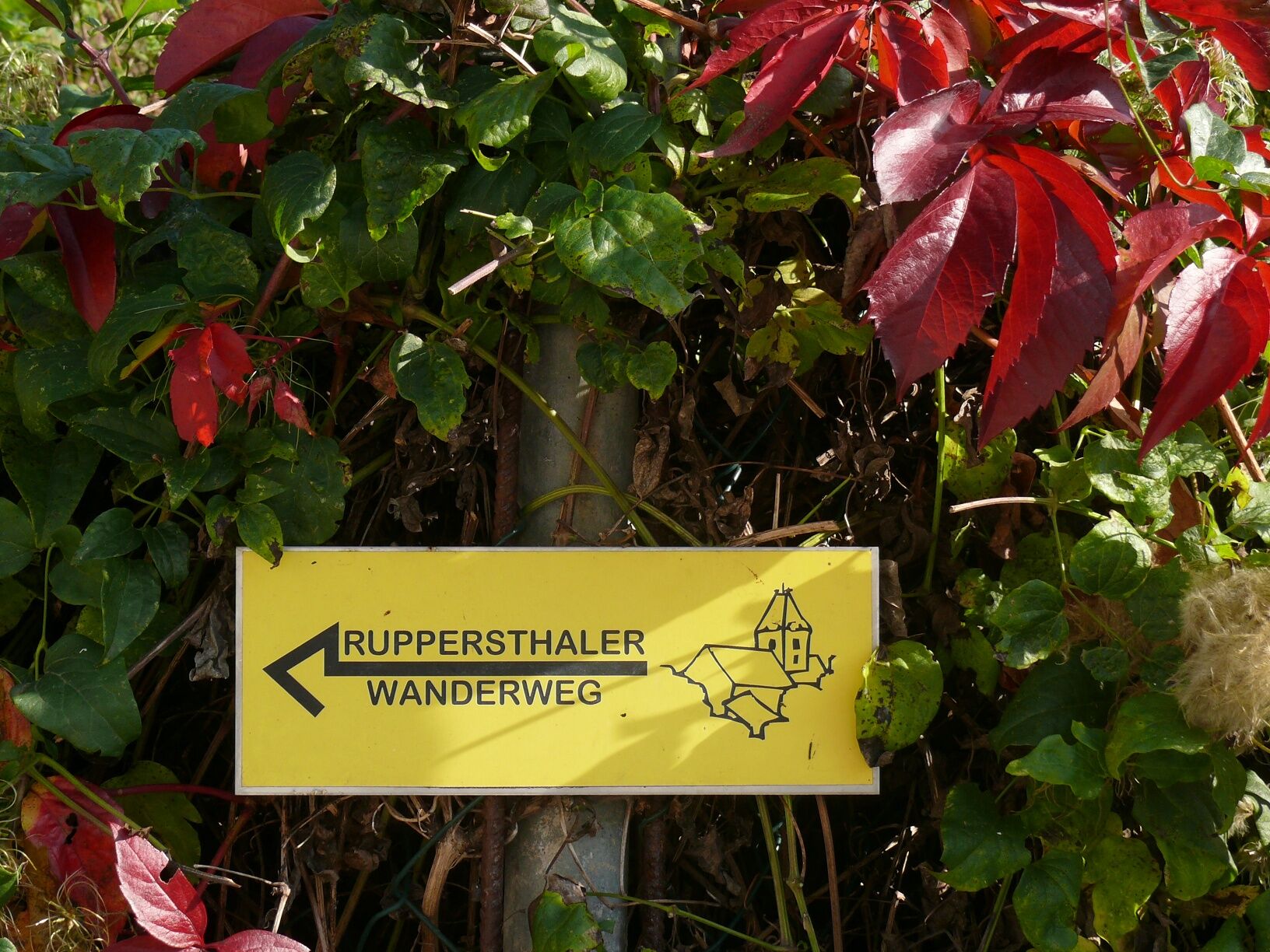
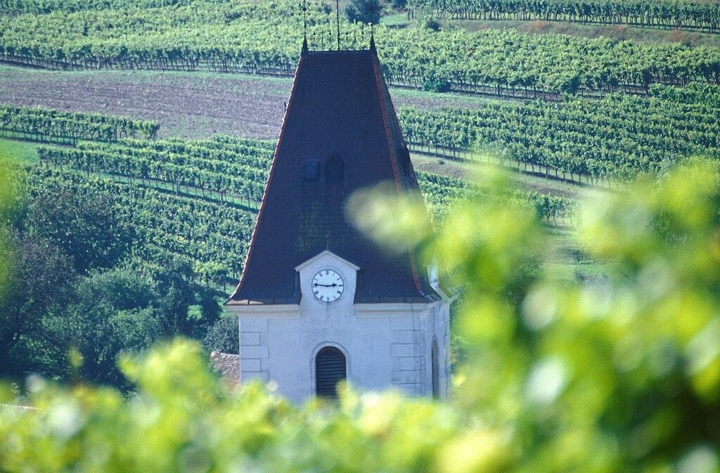

<p>Starting from Ignaz-Pleyel Square in front of the church, the hiking trail passes the Bründlkapelle, then through the vineyards on the slope of the Kogelberg, onward to Ruppersthal Castle, over the Loretto Chapel, past numerous image pillars and wayside crosses to Lodersteig. It continues about 2 km cross-country to Hahnkreuz, through Steinmaisslgraben to Beberlberg. At the "Dicken Kreuz," there is a junction to the Großweikersdorfer circular hiking trail. After a total of 10 km, the hiking trail ends at the birthplace of Ignaz J. Pleyel, where the museum of the same name is located.</p>
<p>Via the B 4 exit Großweikersdorf to Ruppersthal or via the S 5 via Königsbrunn to Ruppersthal</p>
<p>-</p>
<p>Ignaz Pleyel Square in front of the church</p>
www.ruppersthal.at Ruppersthal hiking trail: Tel. 02955/70676 Ruppersthal running route: Tel. 02955/71230
Actividades a lo largo del recorrido

Rutas populares en los alrededores
-
4,8
Kellergassen-Tour
pesadoCiclismo 38,3 km -
4,0
Weinwanderweg Wetzdorf
luzSendero temático 6,51 km -
4,3
Niederrußbach Dauersberg Stranzendorf retour 20190519
luzSenderismo 7,75 km -
3,8
W3 Löss-Tour
medioCiclismo 38,6 km -
4,0
Rivaner-Radtour
Ciclismo 54 km -
4,5
Von Feuersbrunn zur Engabrunner Warte
luzSenderismo 7,68 km -
3,0
Donautour W5
luzCiclismo 38,5 km -
4,8
Von Mühlbach am Manhartsberg zur Krotenmühle
luzSenderismo 3,17 km -
3,5
Rundwanderweg Elsarn
medioSenderismo 9,26 km -
5,0
Strass im Strassertale - Ruine Falkenberg
luzSenderismo 11,7 km
Senderismo y rastreo


No se pierda las ofertas y la inspiración para sus próximas vacaciones
Su dirección de correo electrónico se ha añadido a la lista de correo.


