






Weitental - Riffelsattel - Jägerherz - Rauher Kamm - Ötscher - Weitental
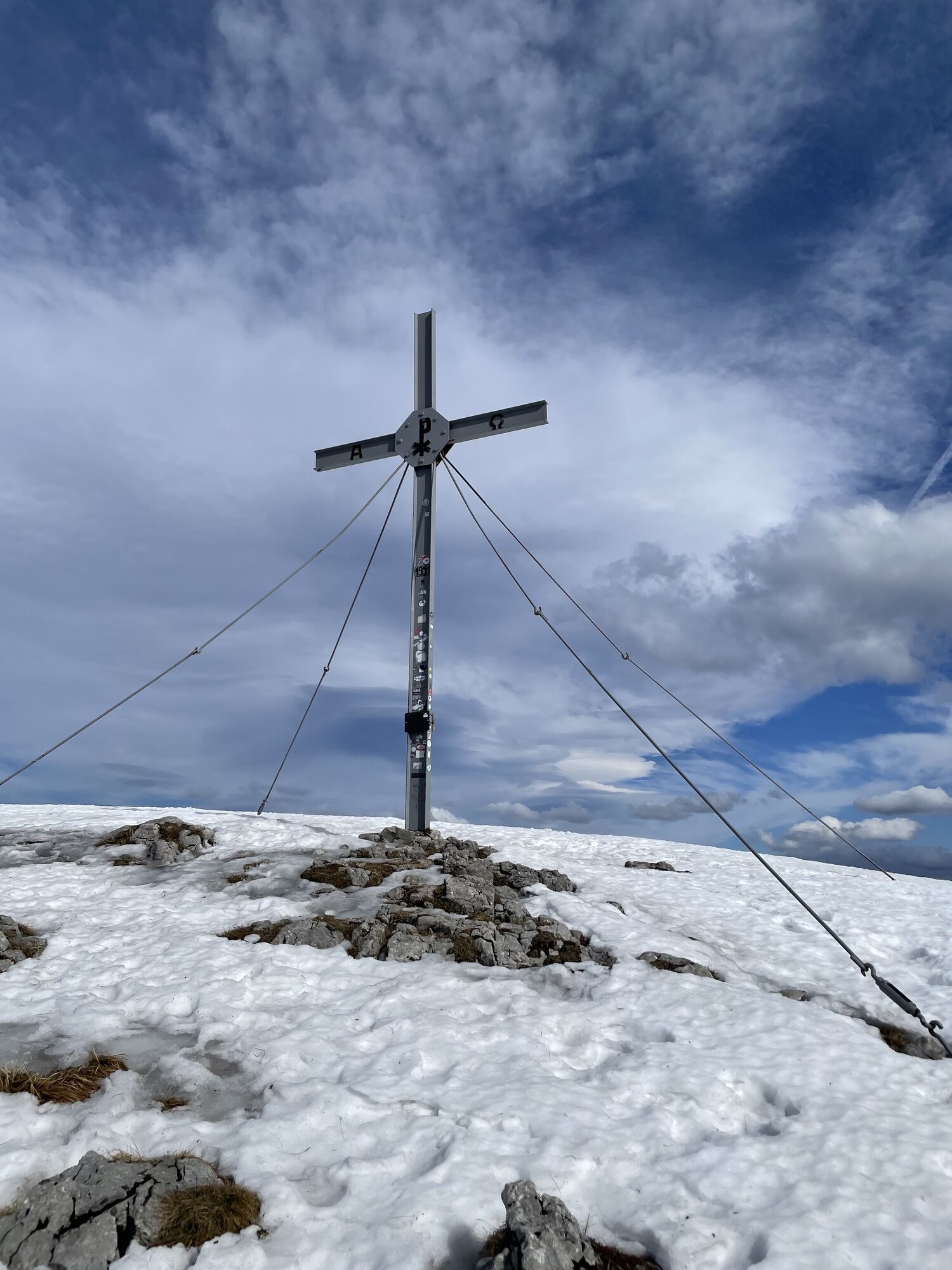
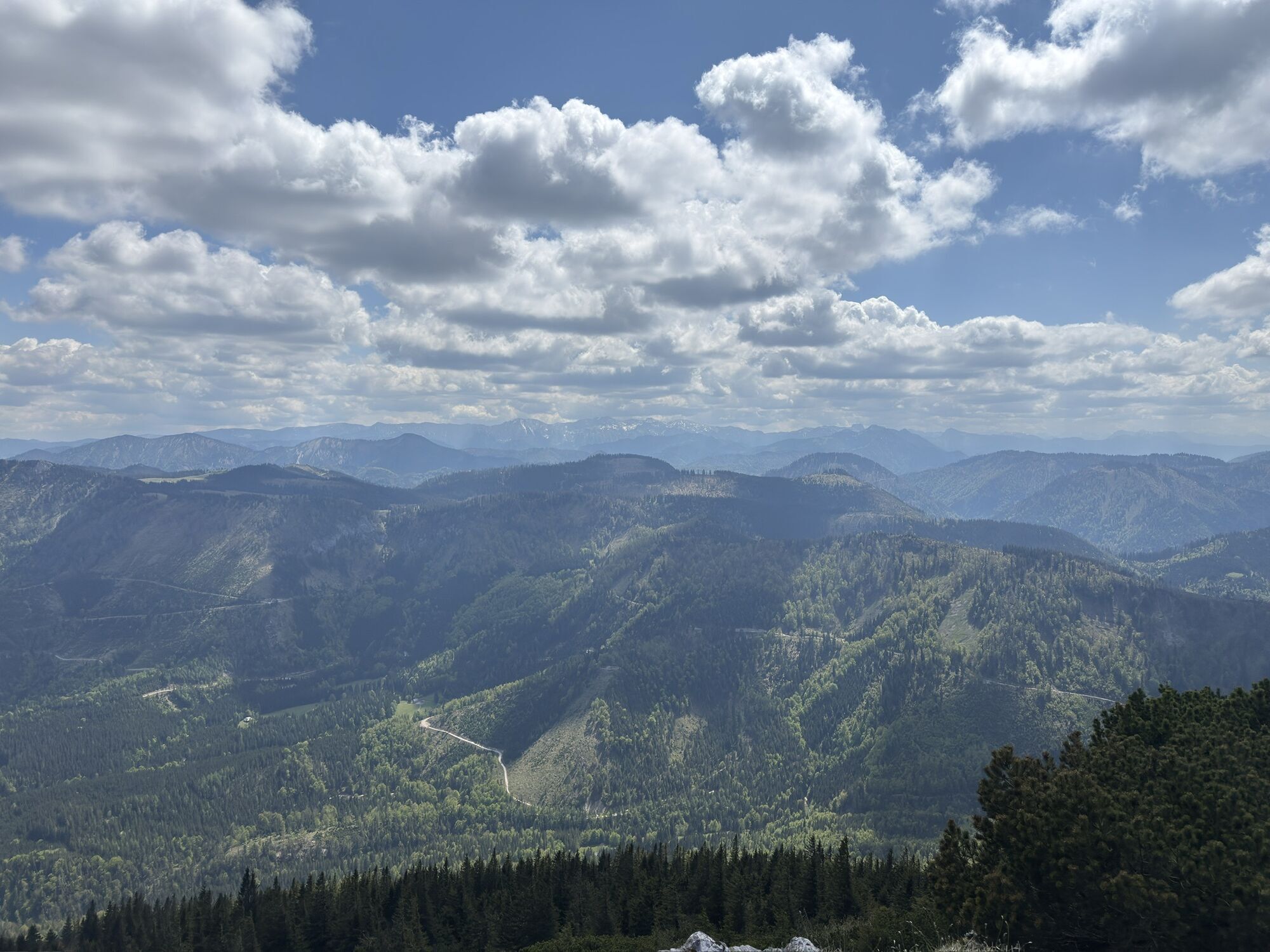
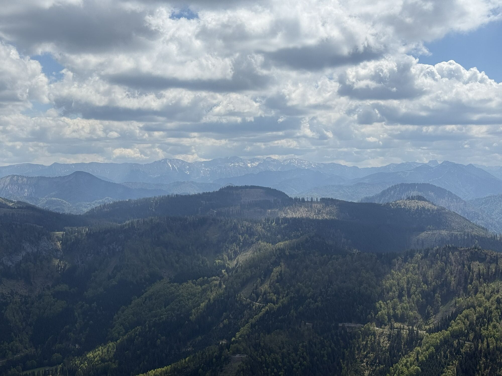
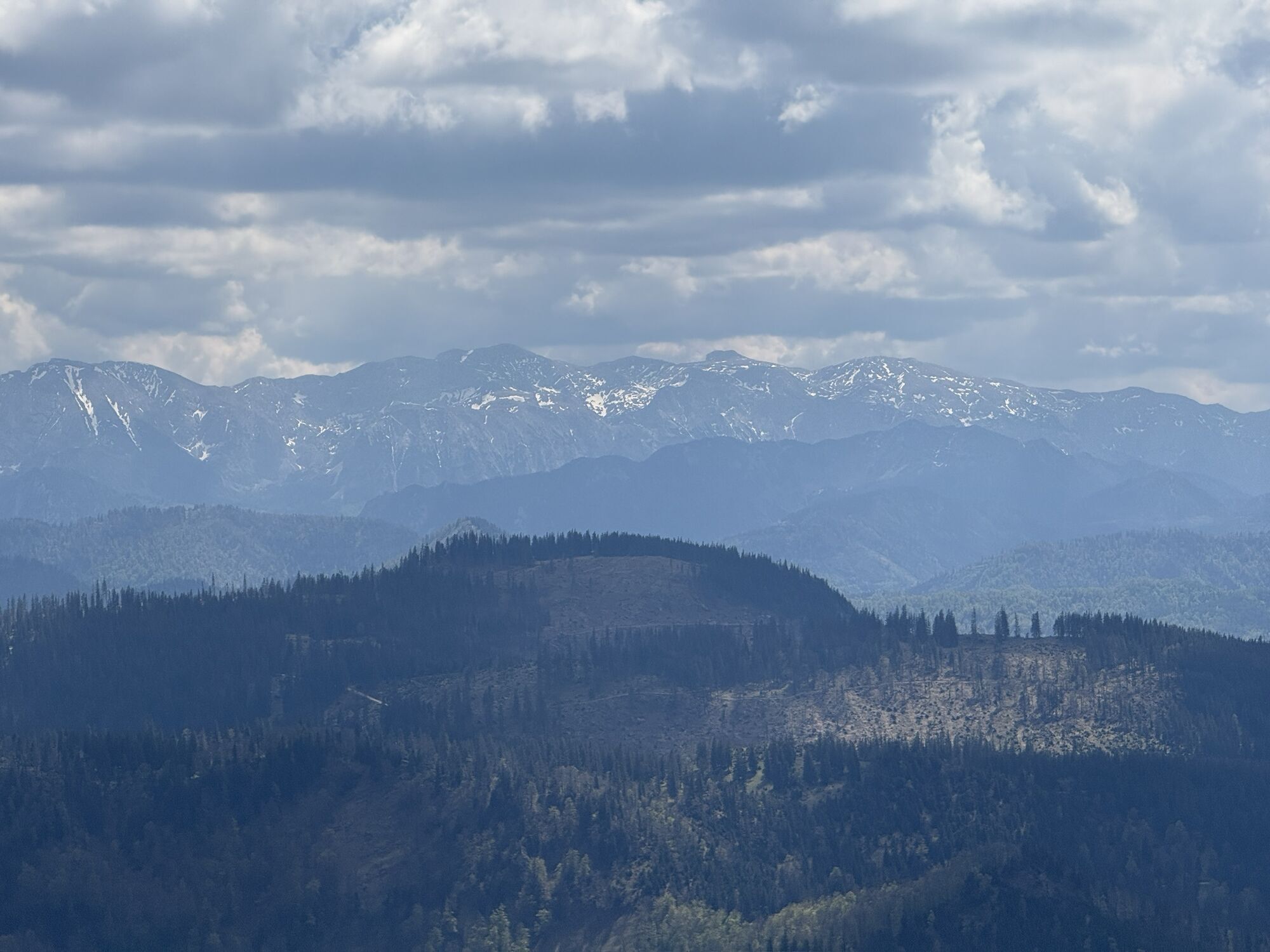
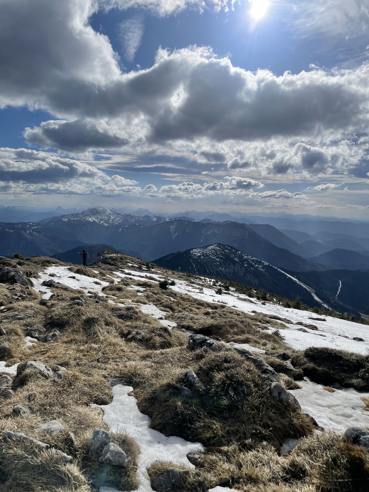
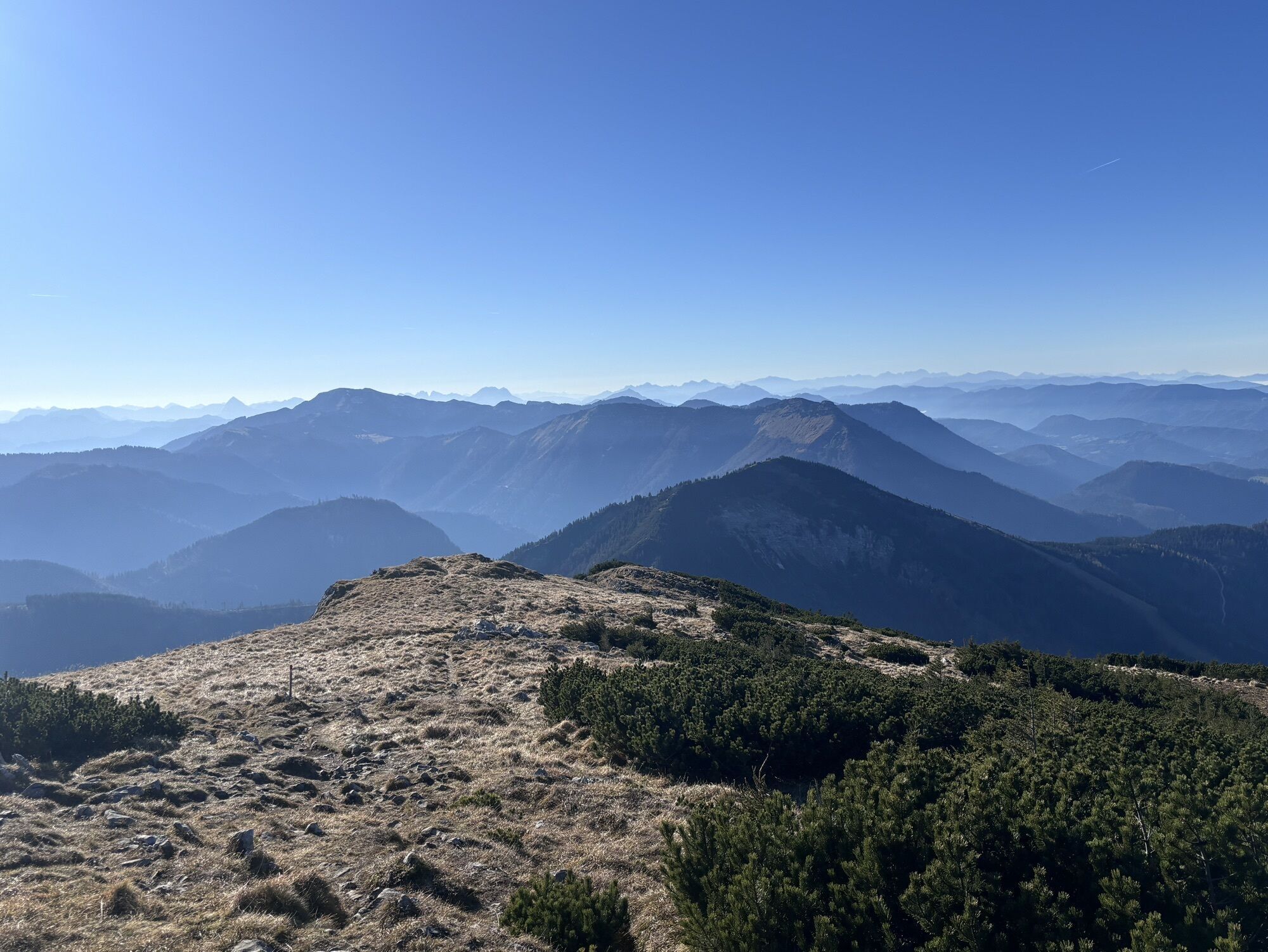
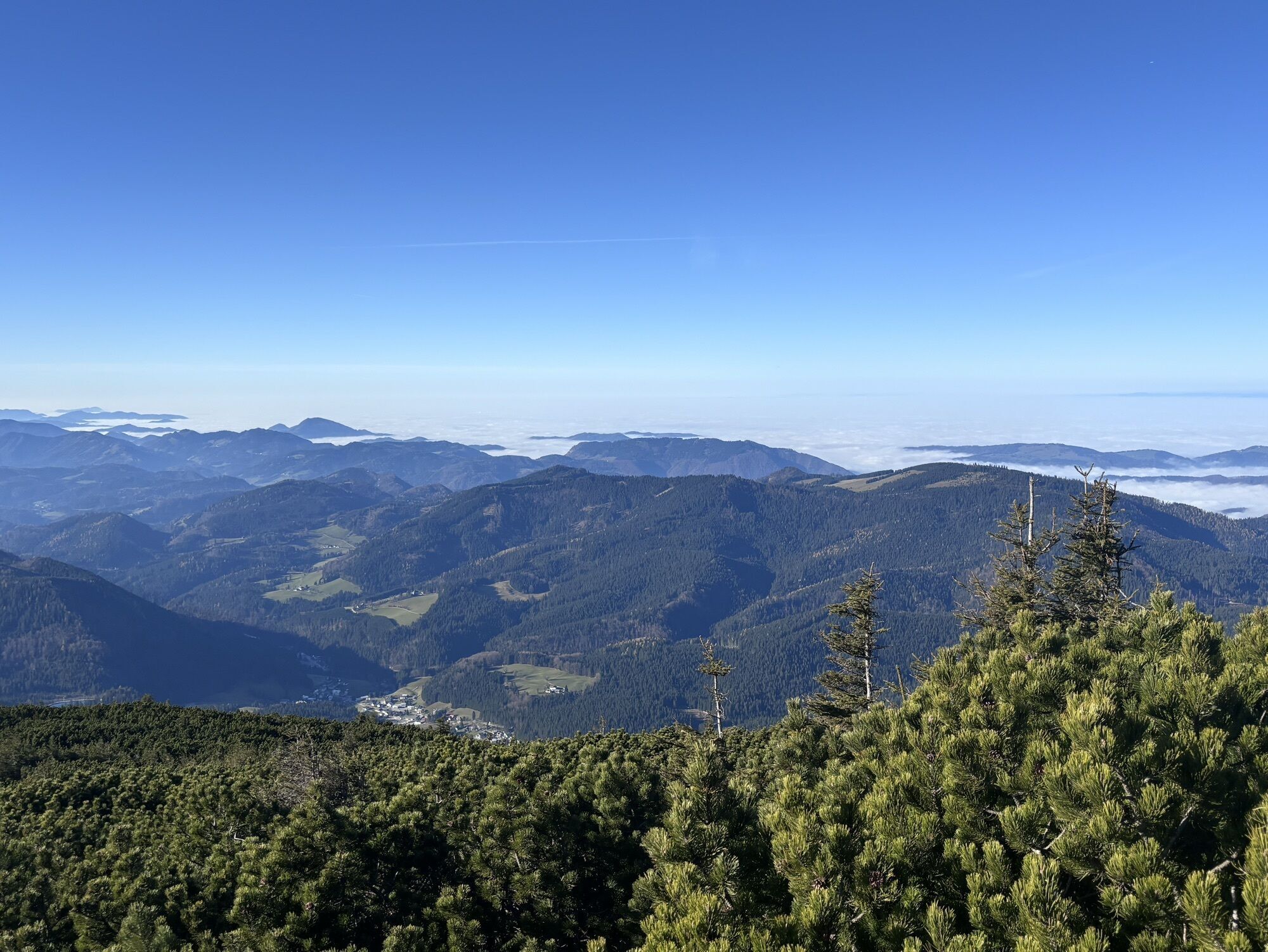
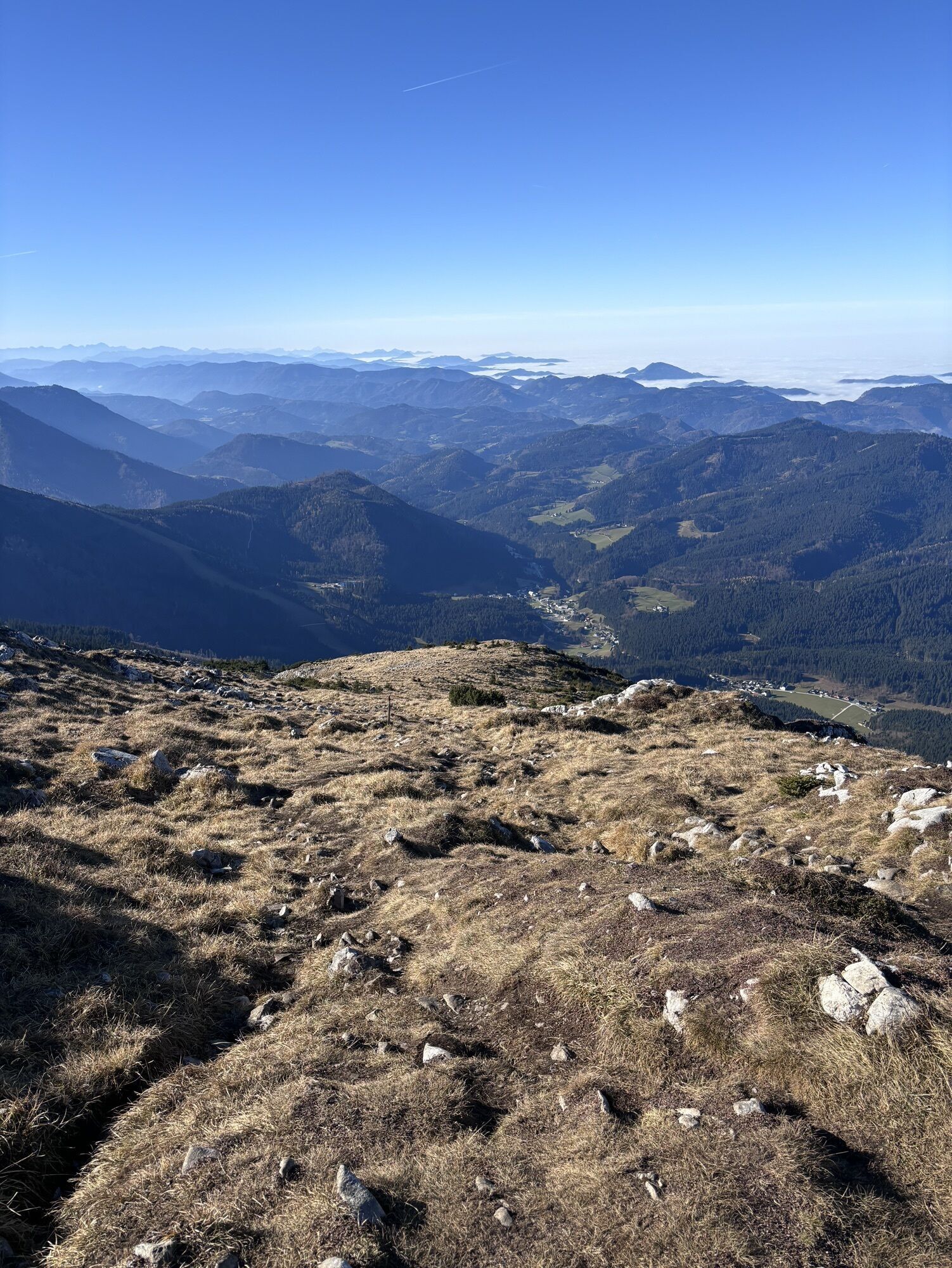
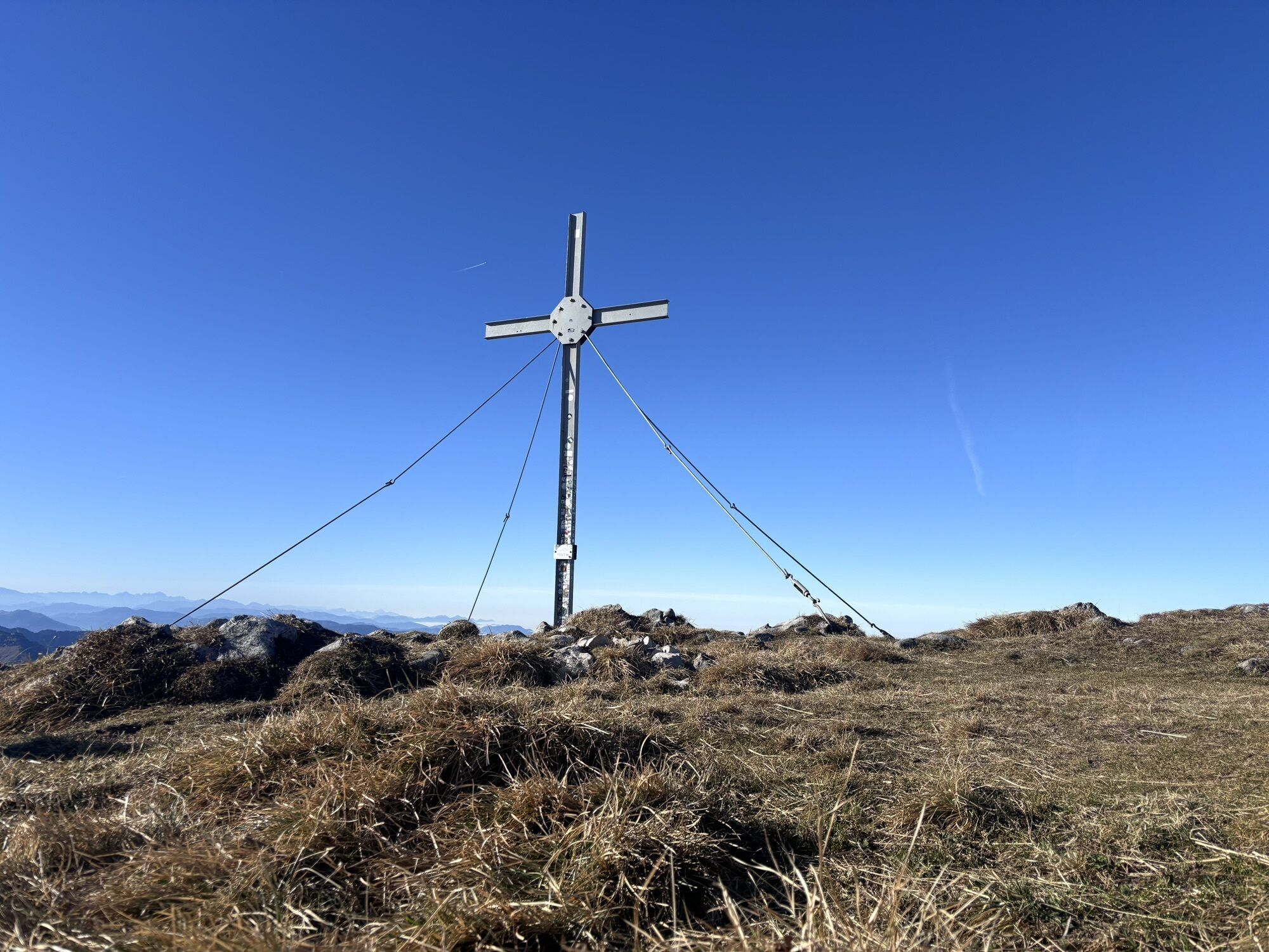
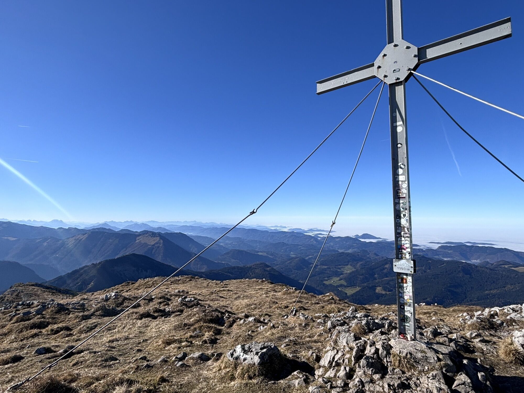
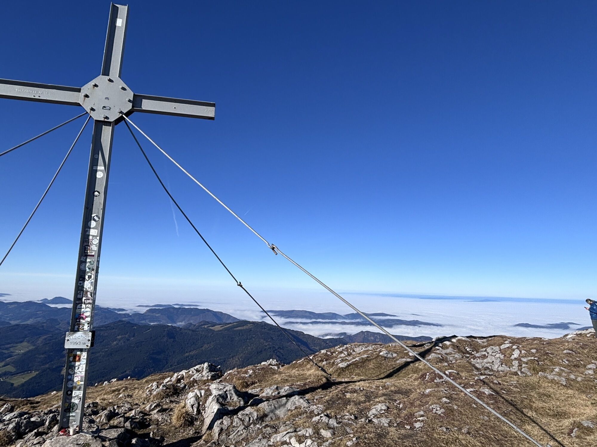
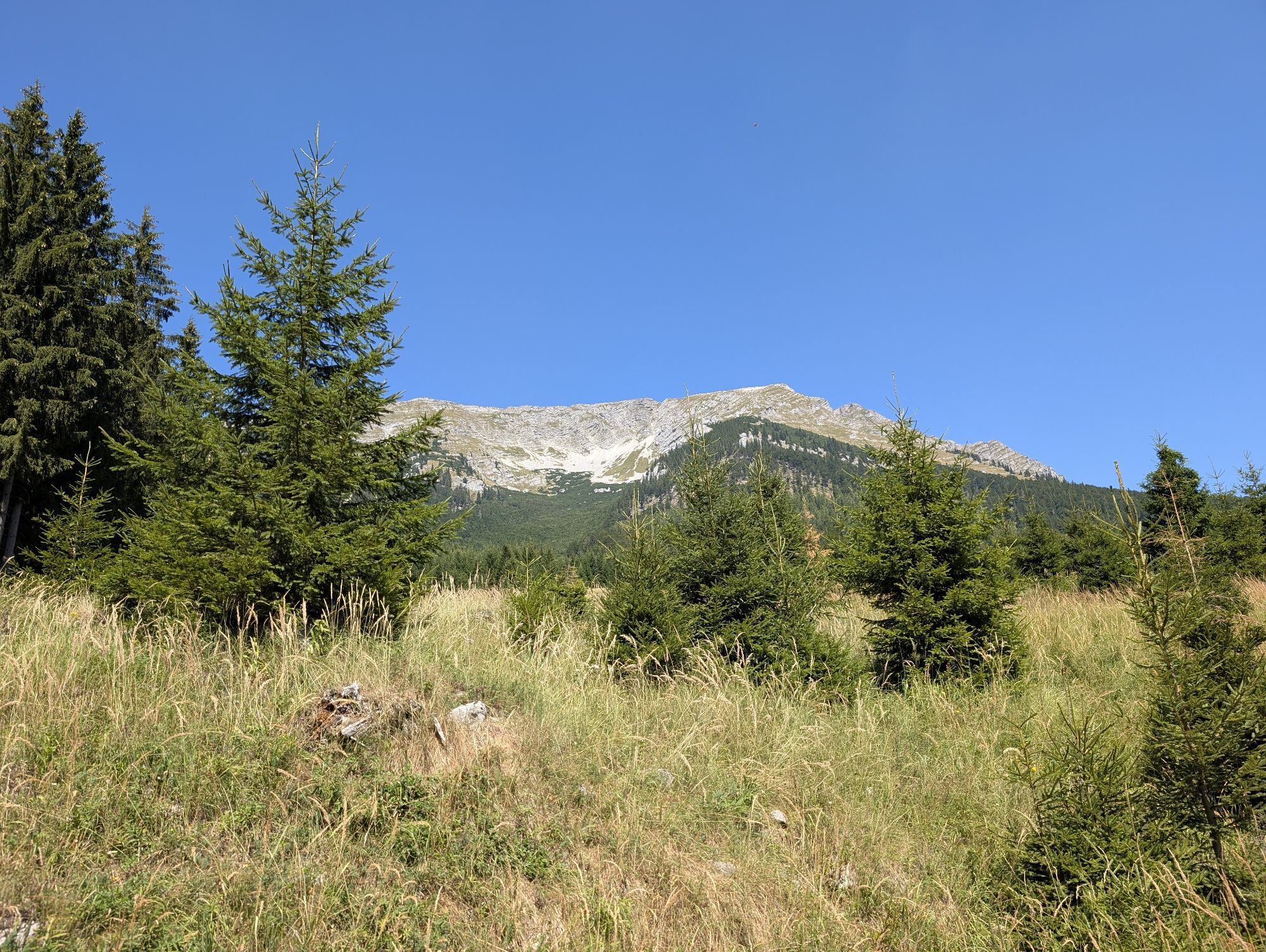
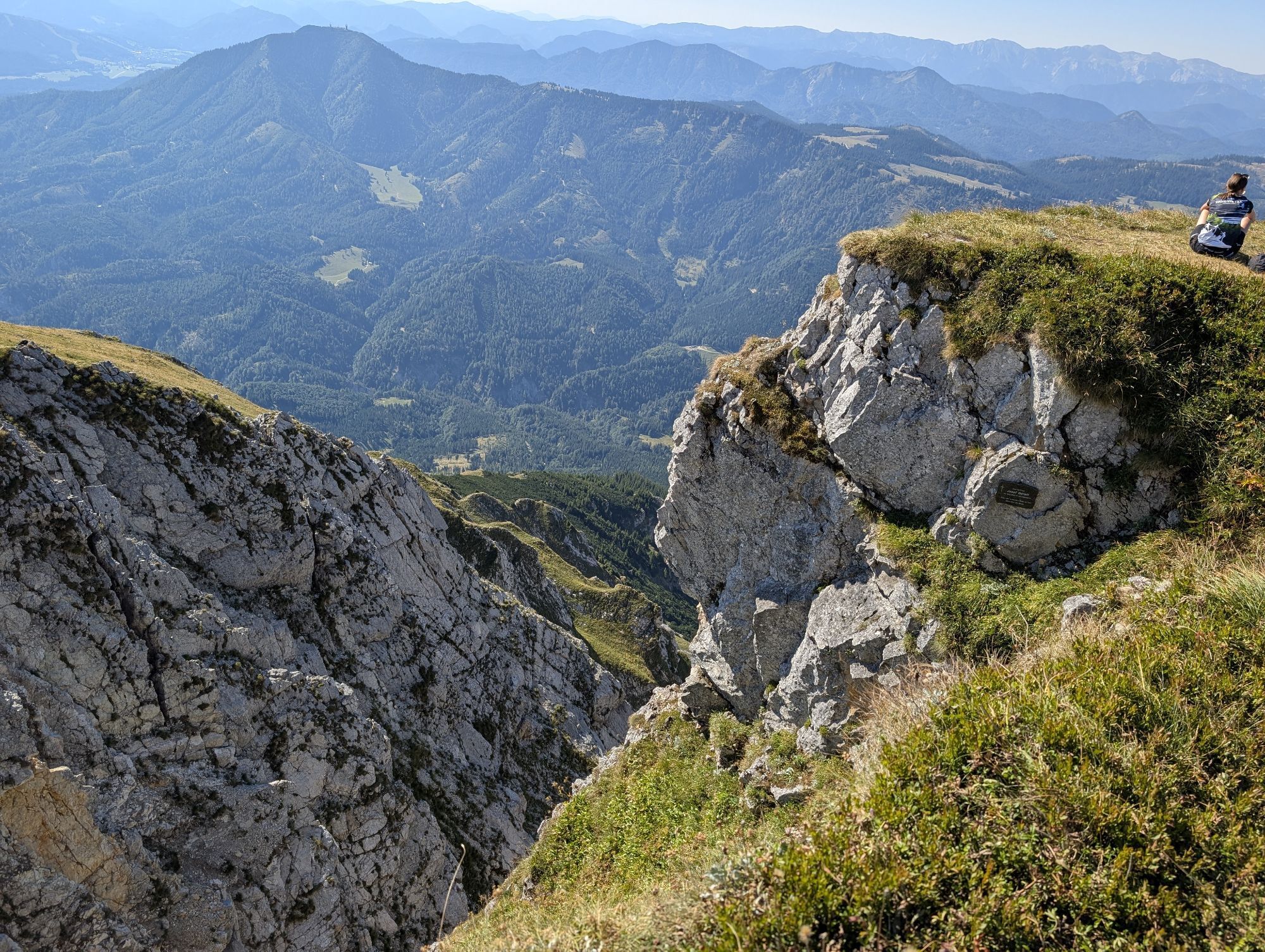
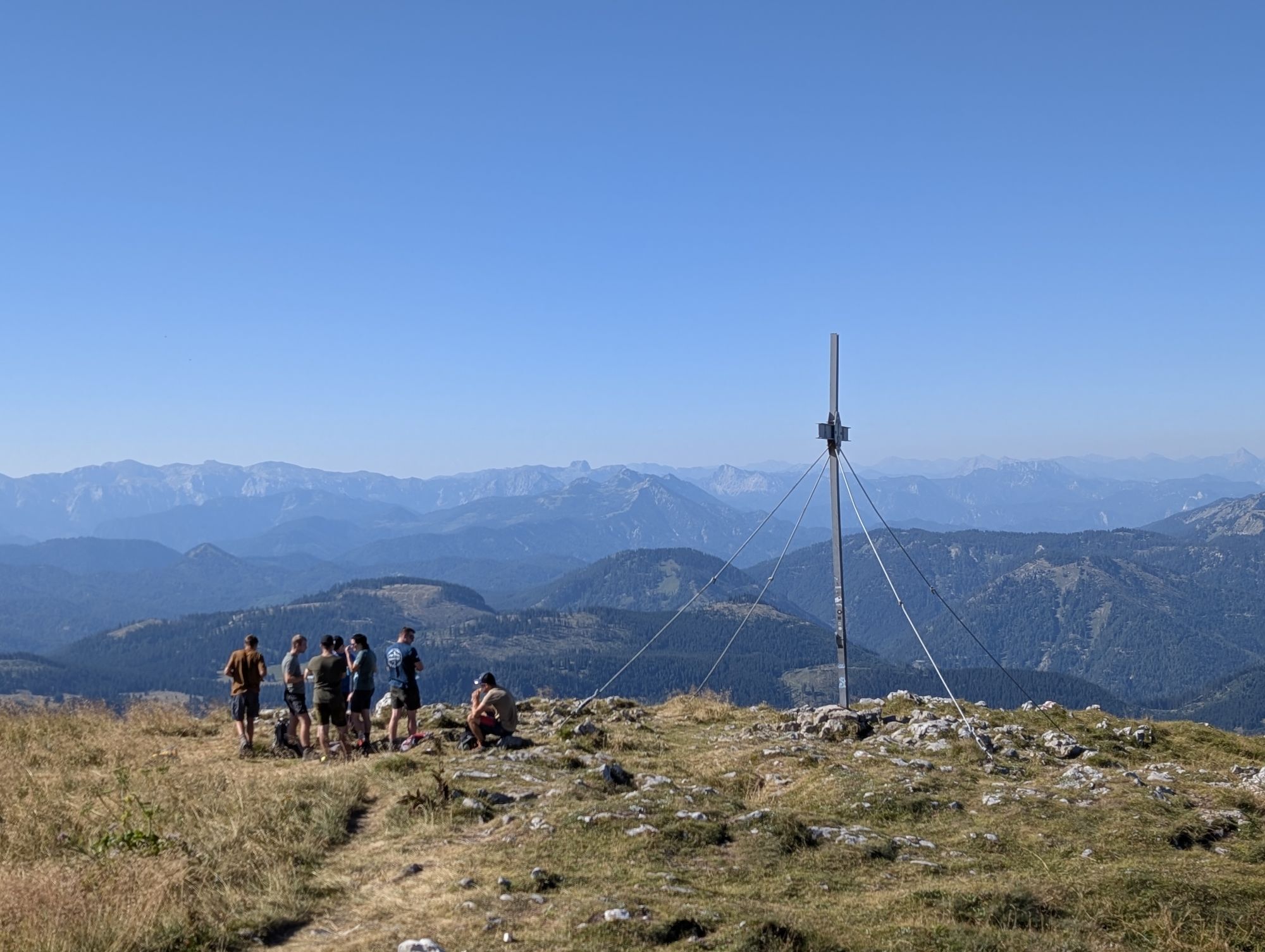
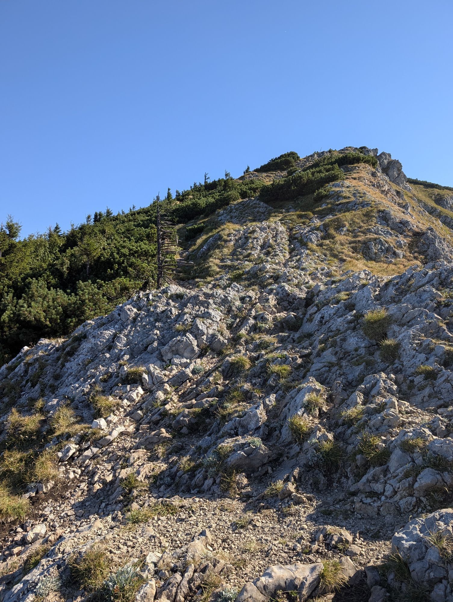
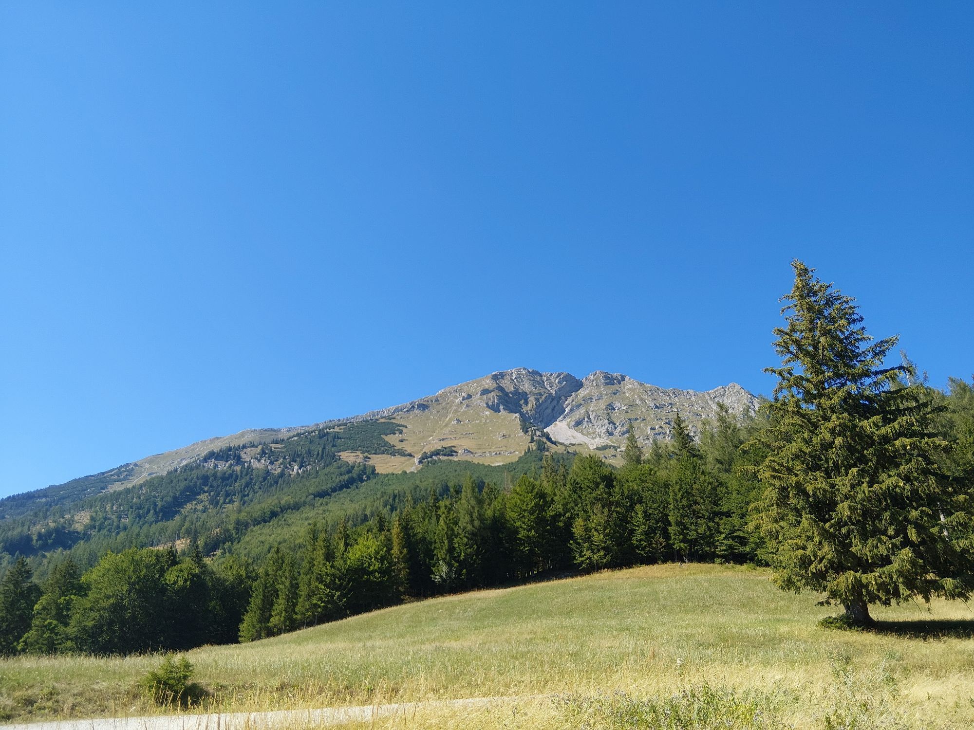
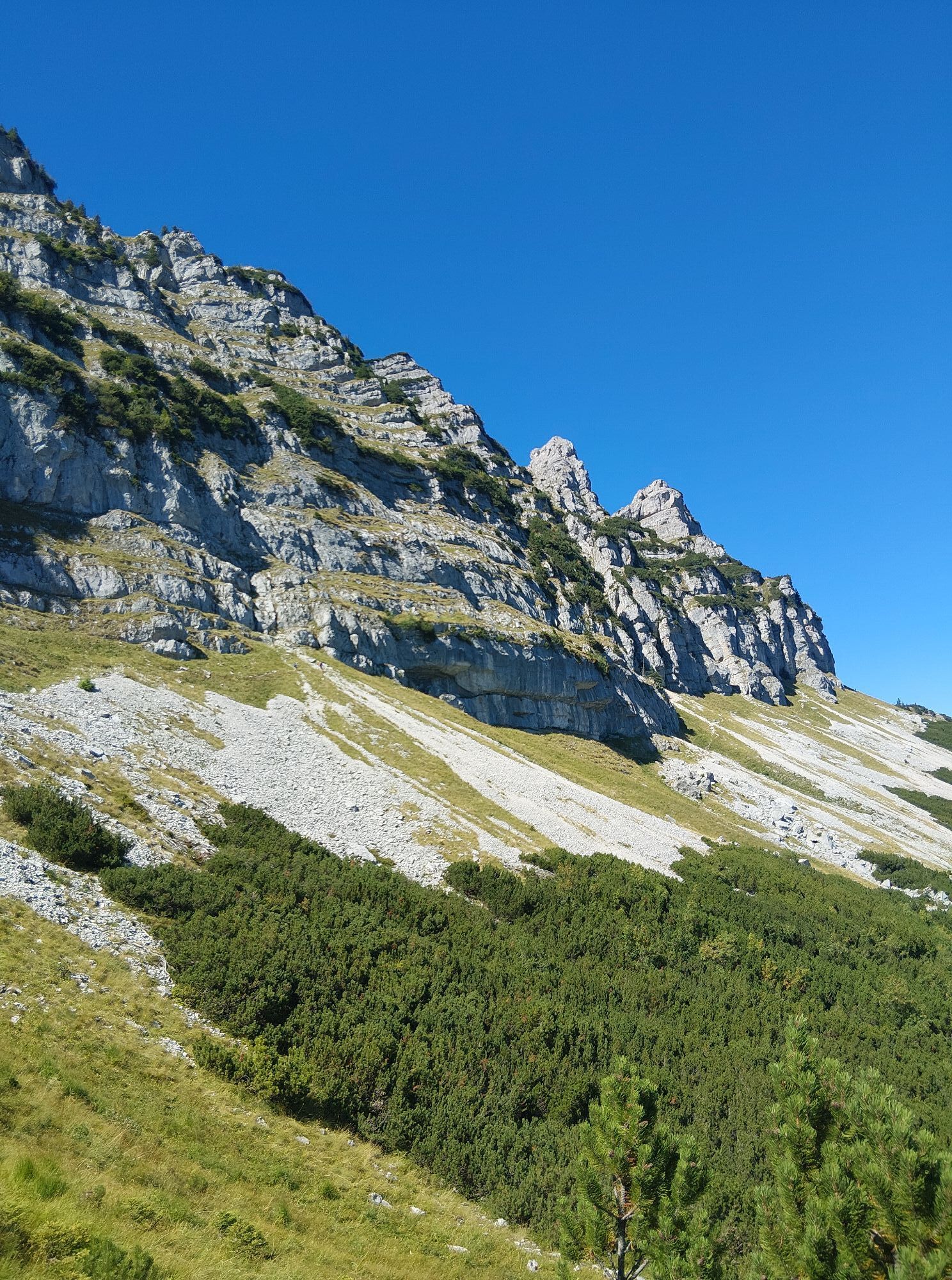
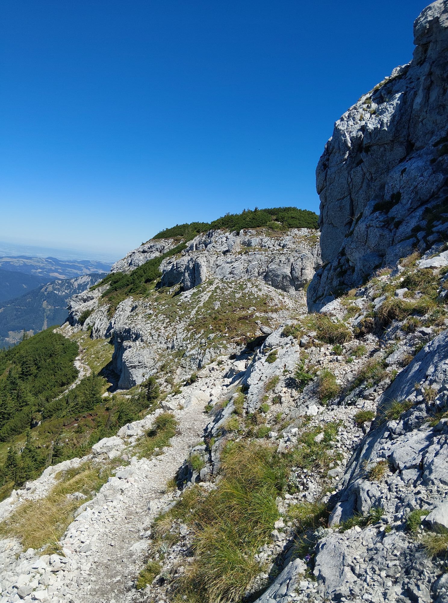
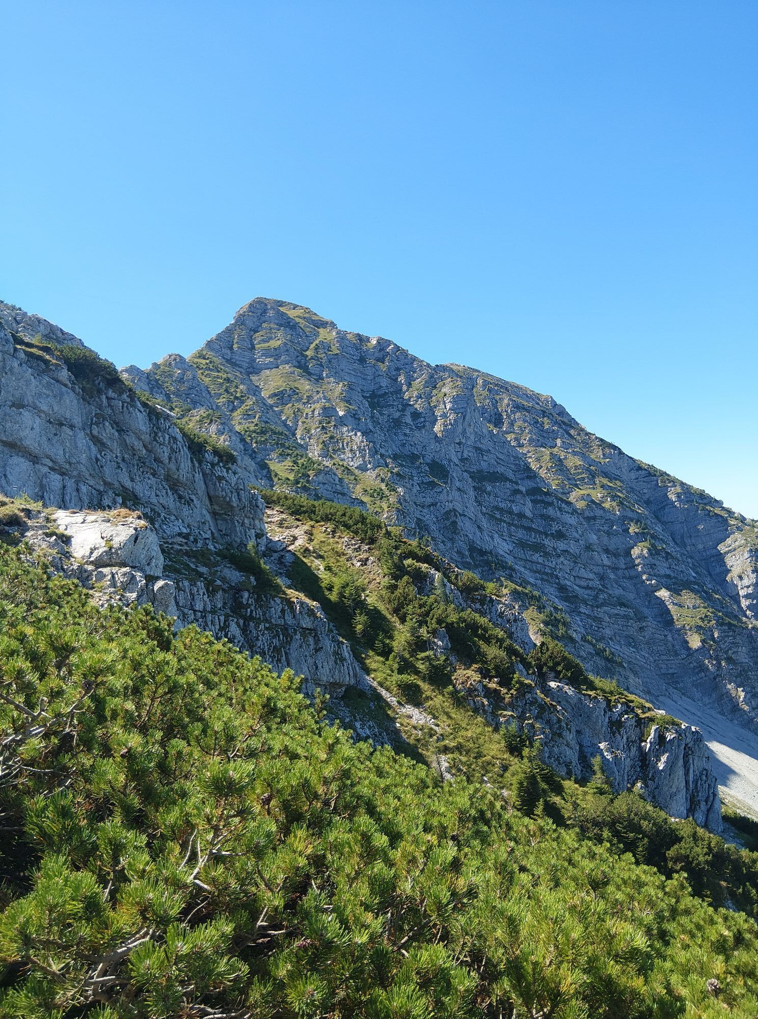
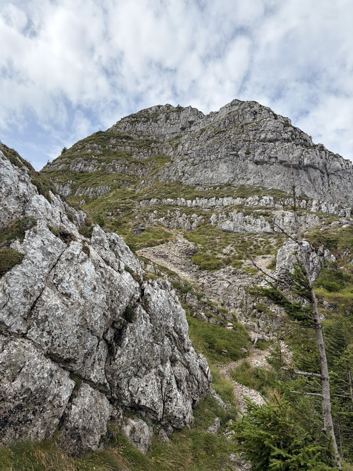
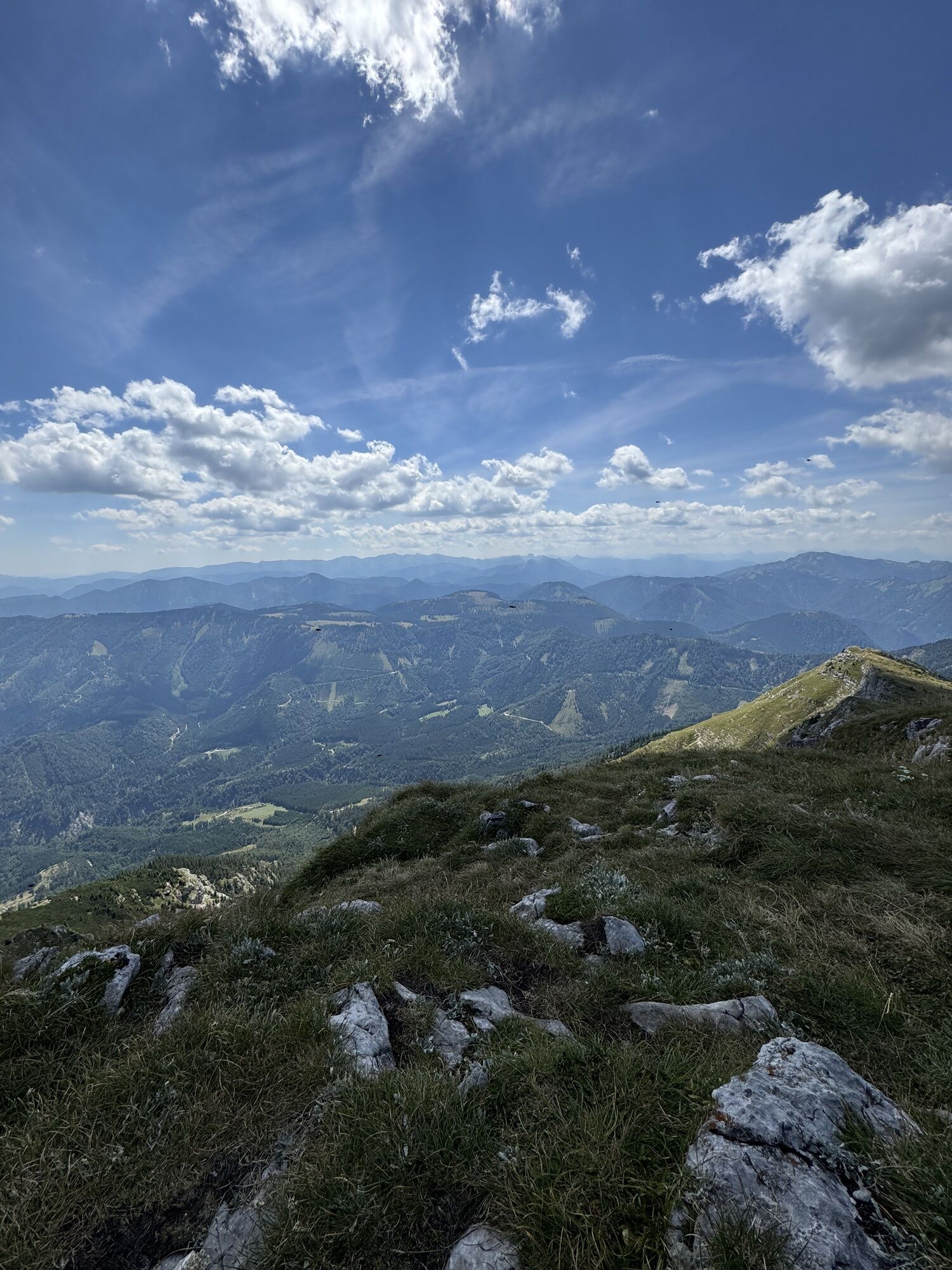
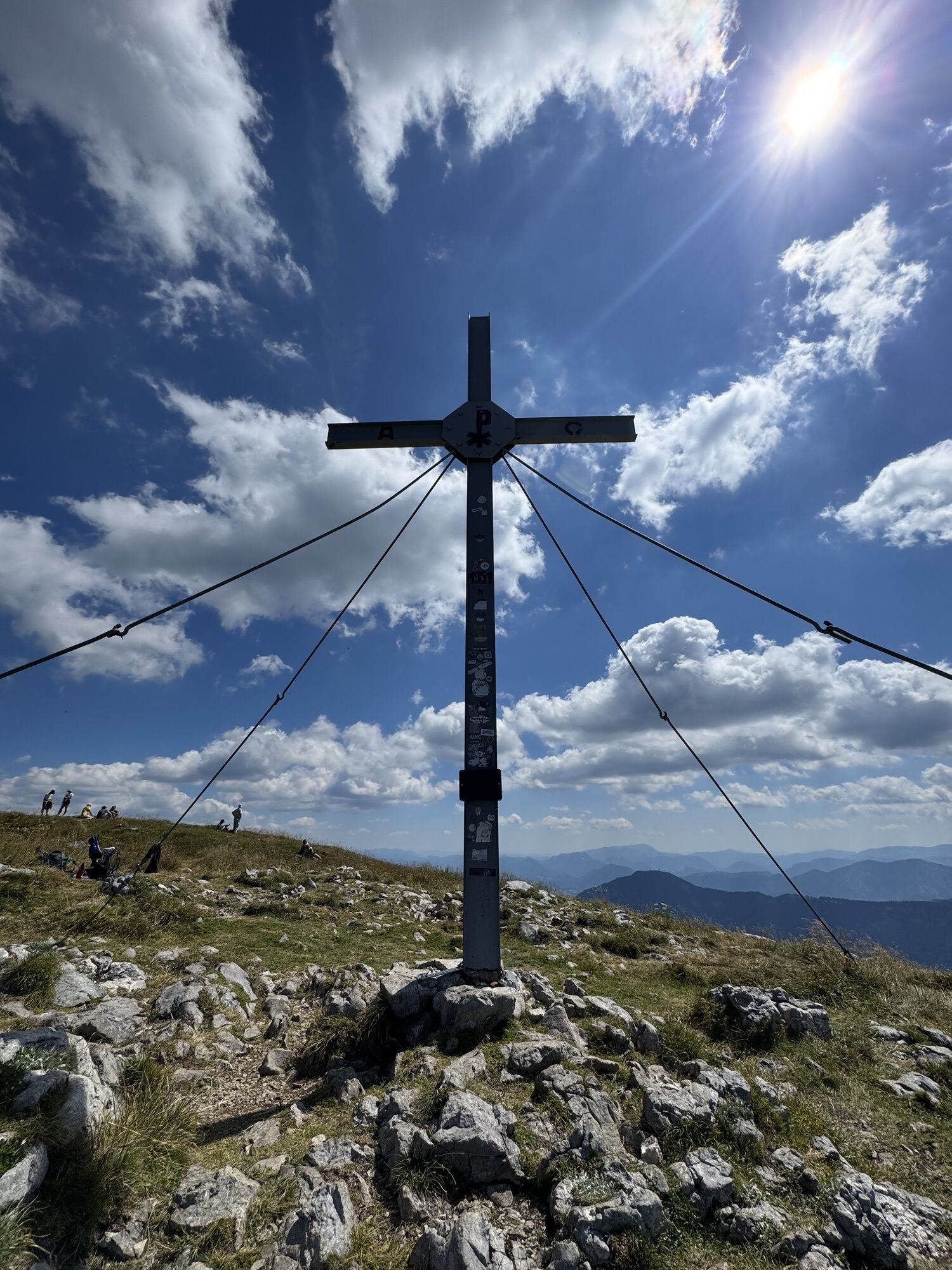
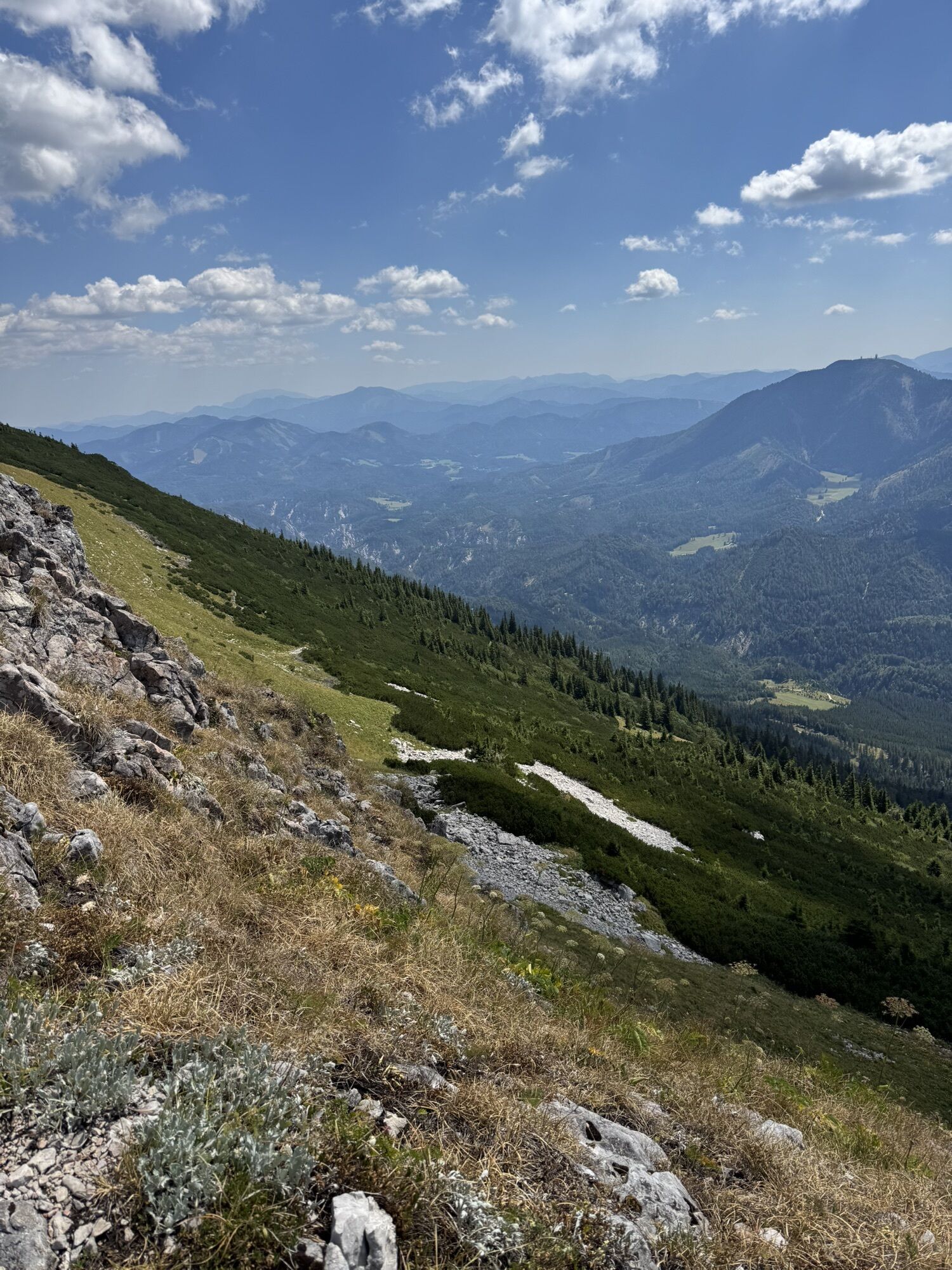
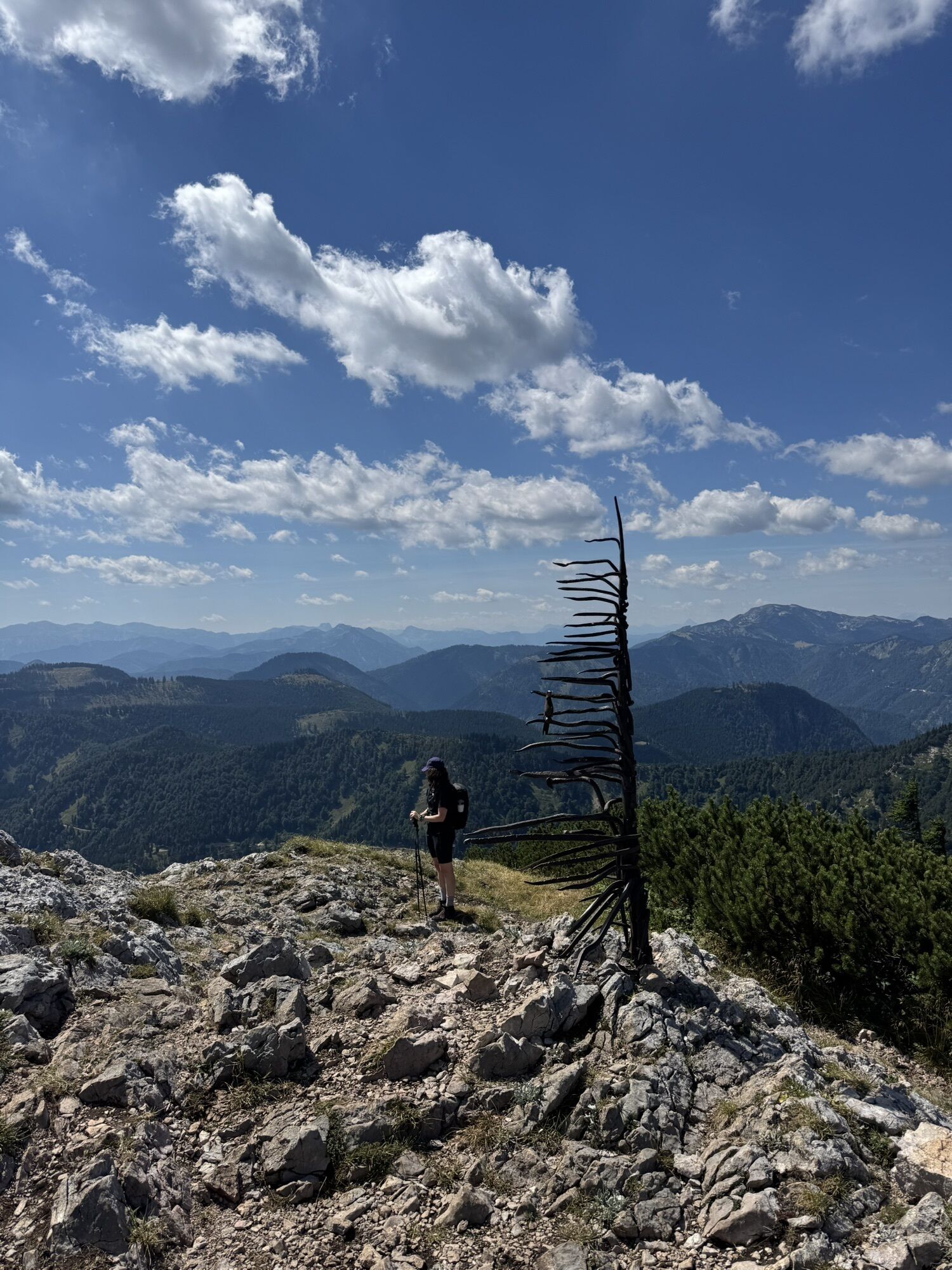
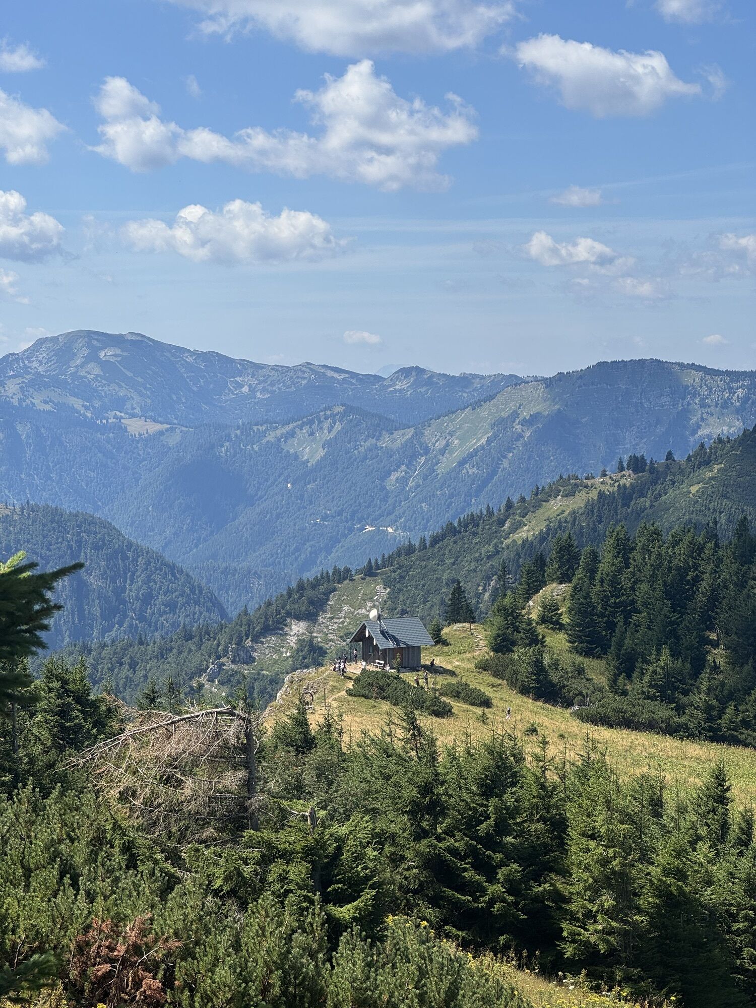
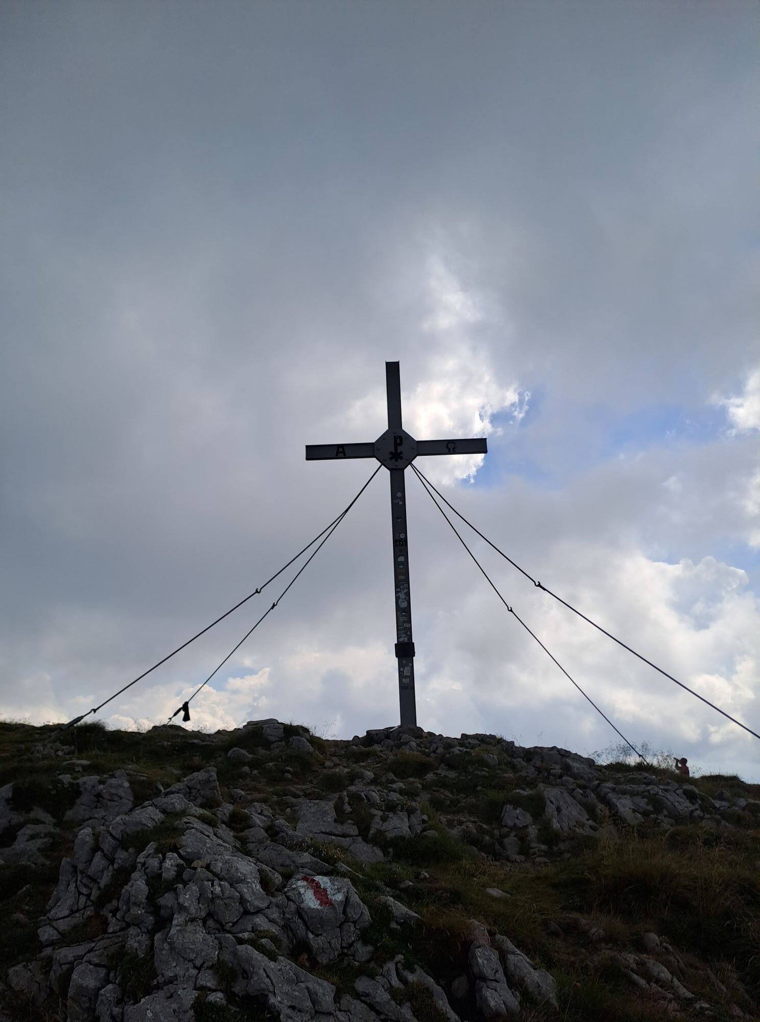
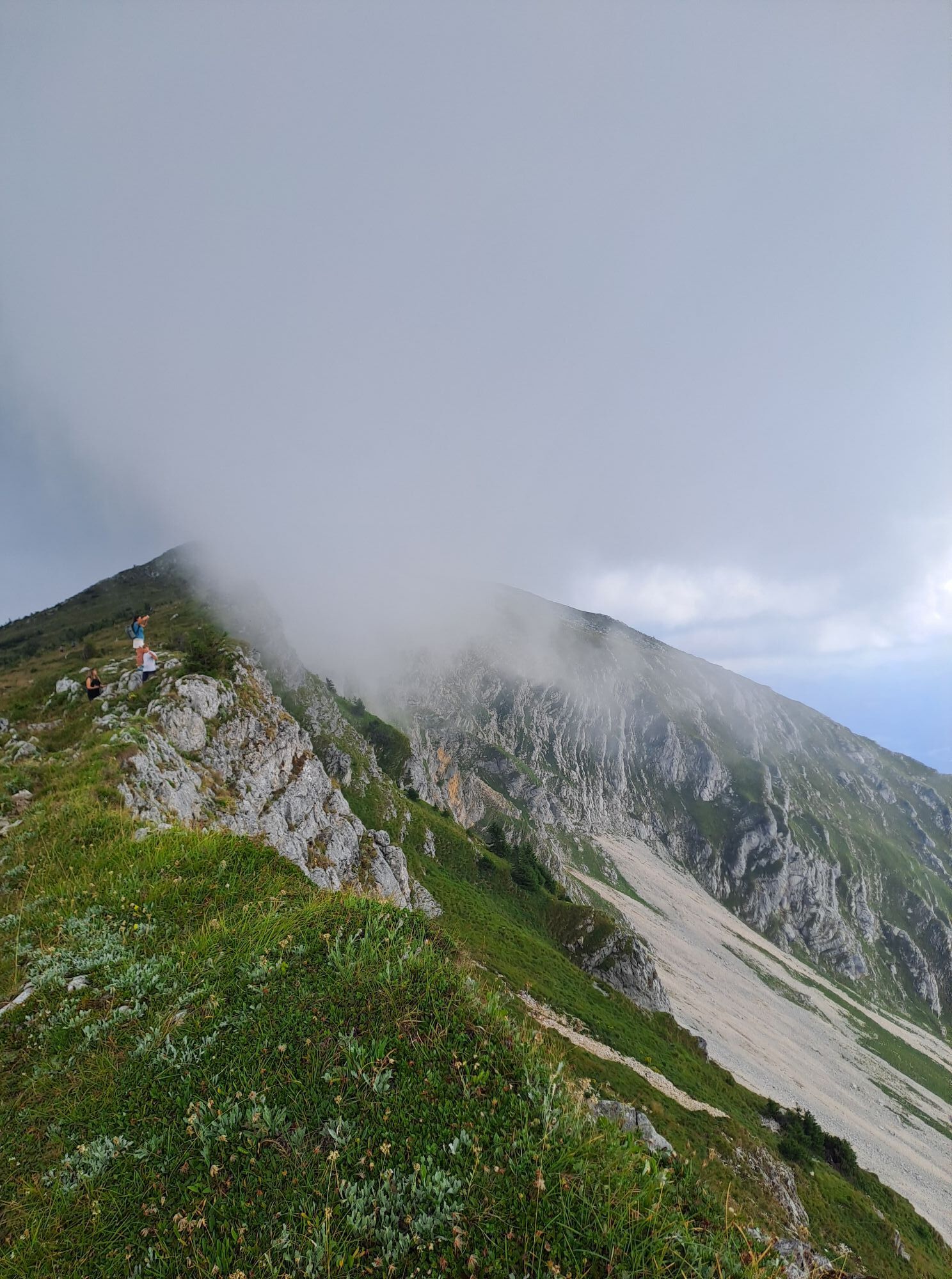
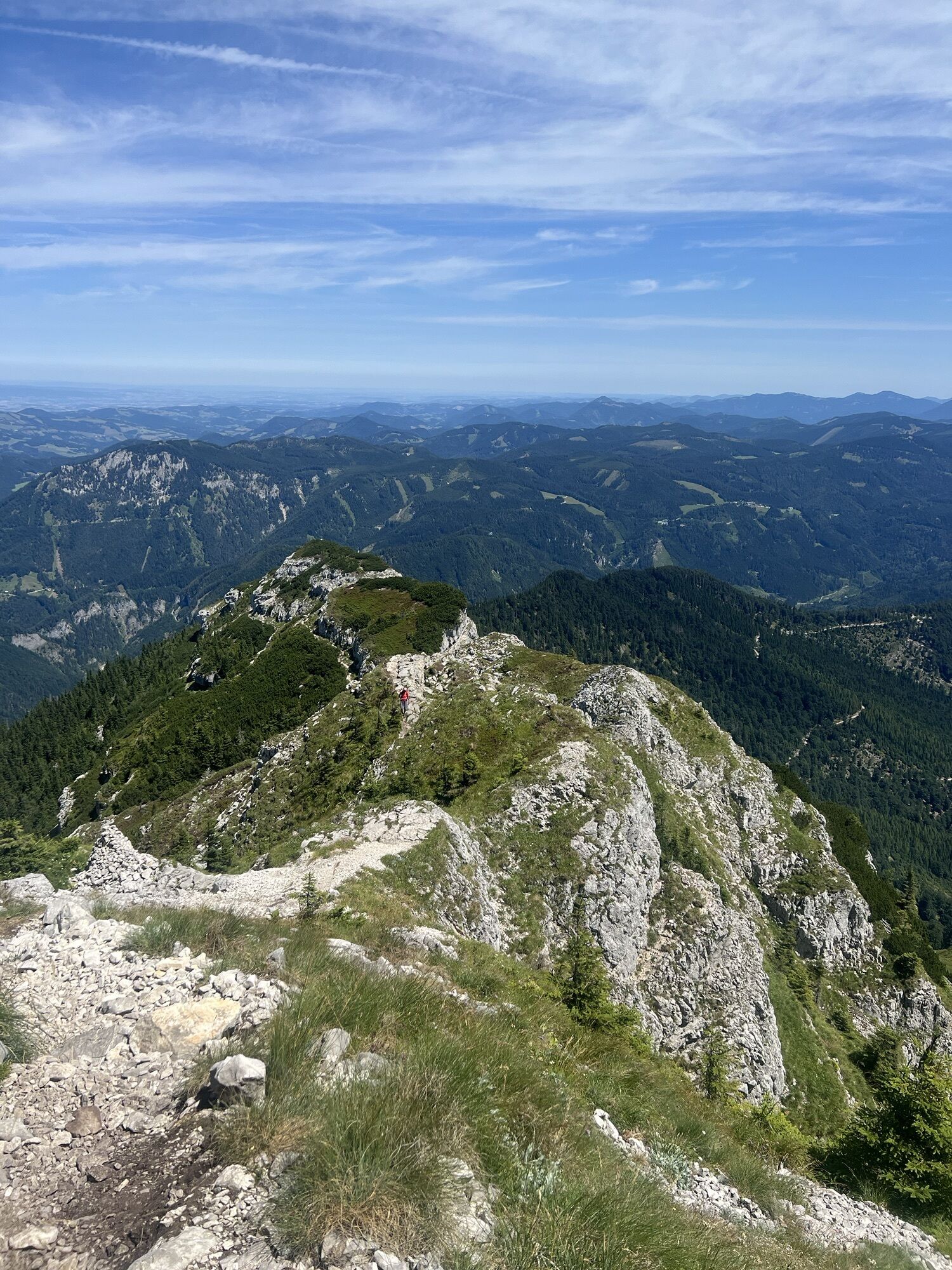
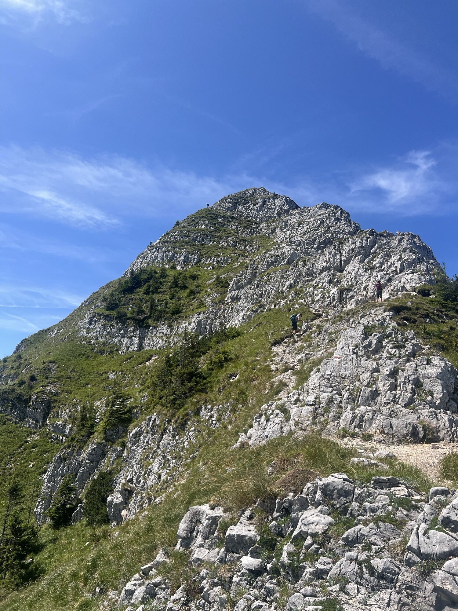
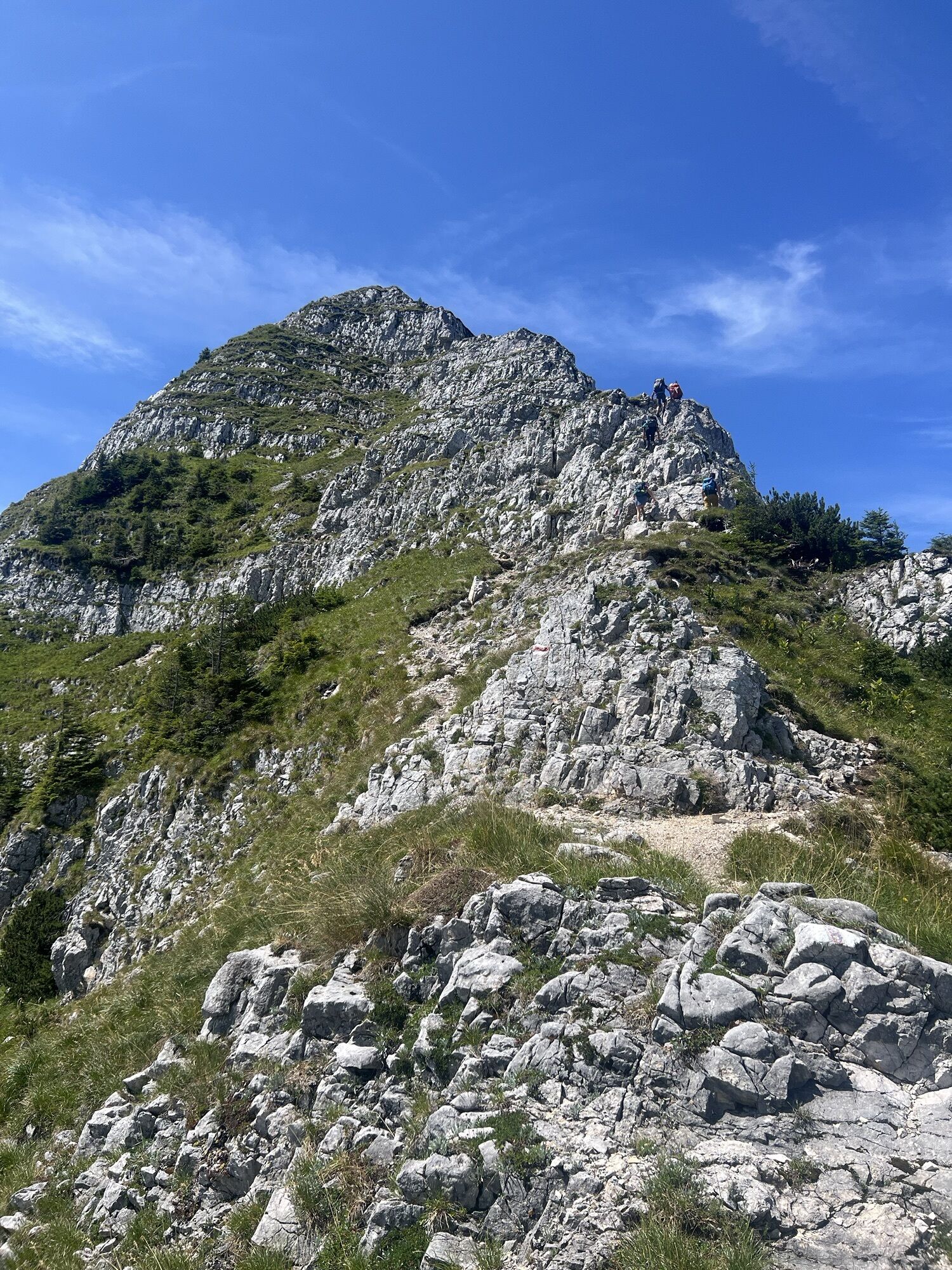
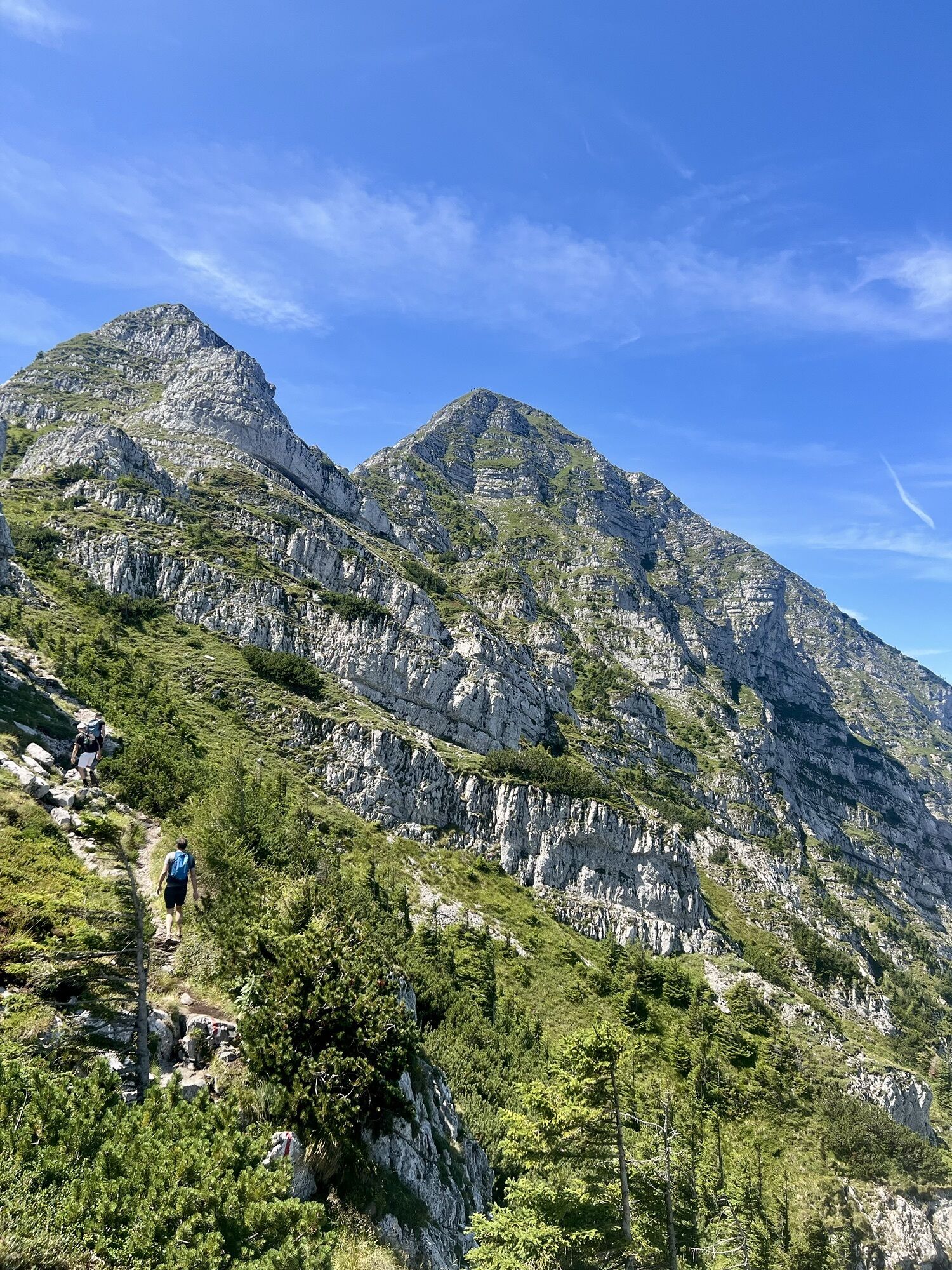
This high-alpine loop hike leads over the Riffelsattel, along the south face of the Ötscher up to the Rauhen Kamm, to the Ötscher summit, and back down into the valley. Along the Rauhen Kamm, climbing...
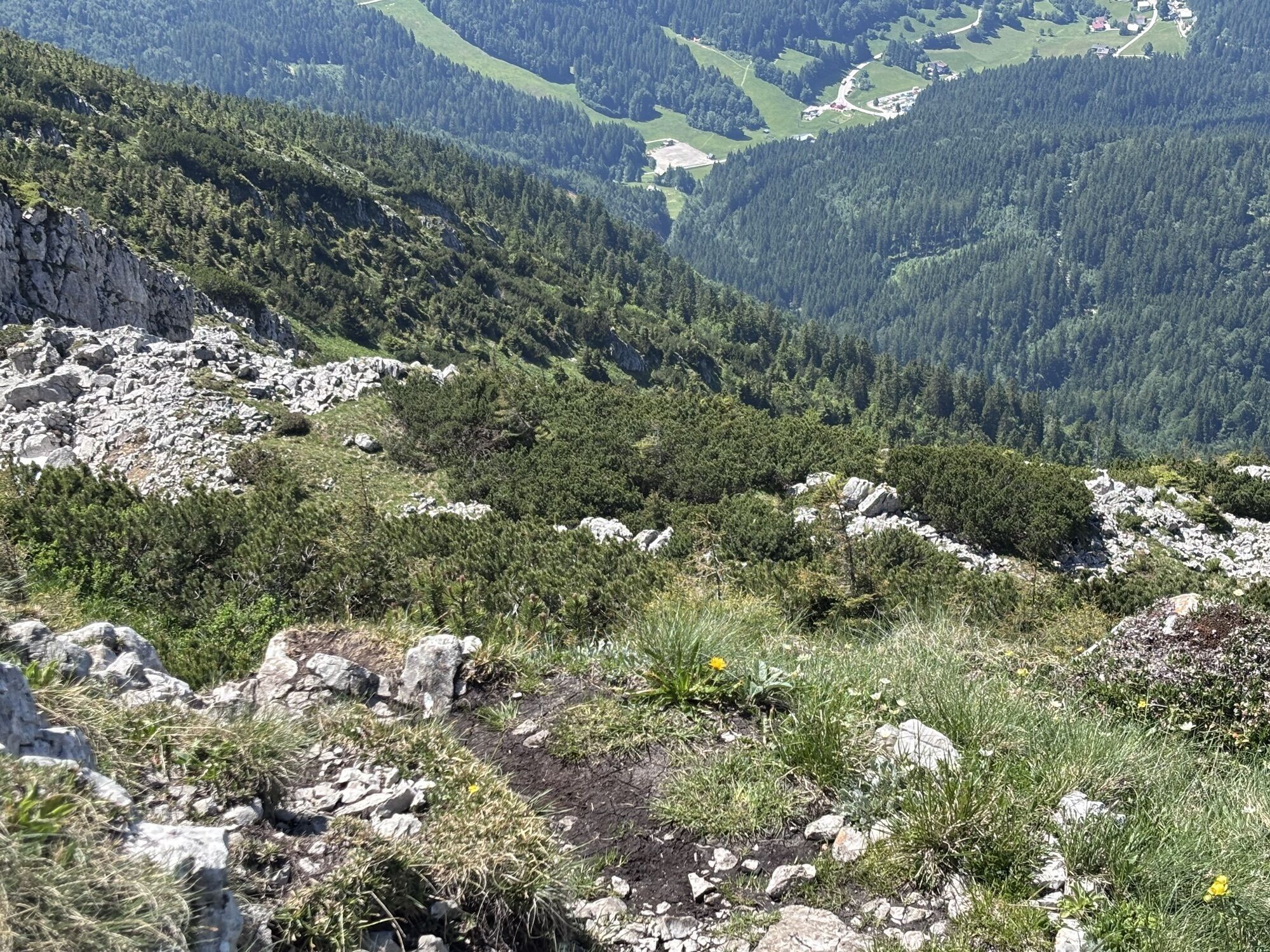
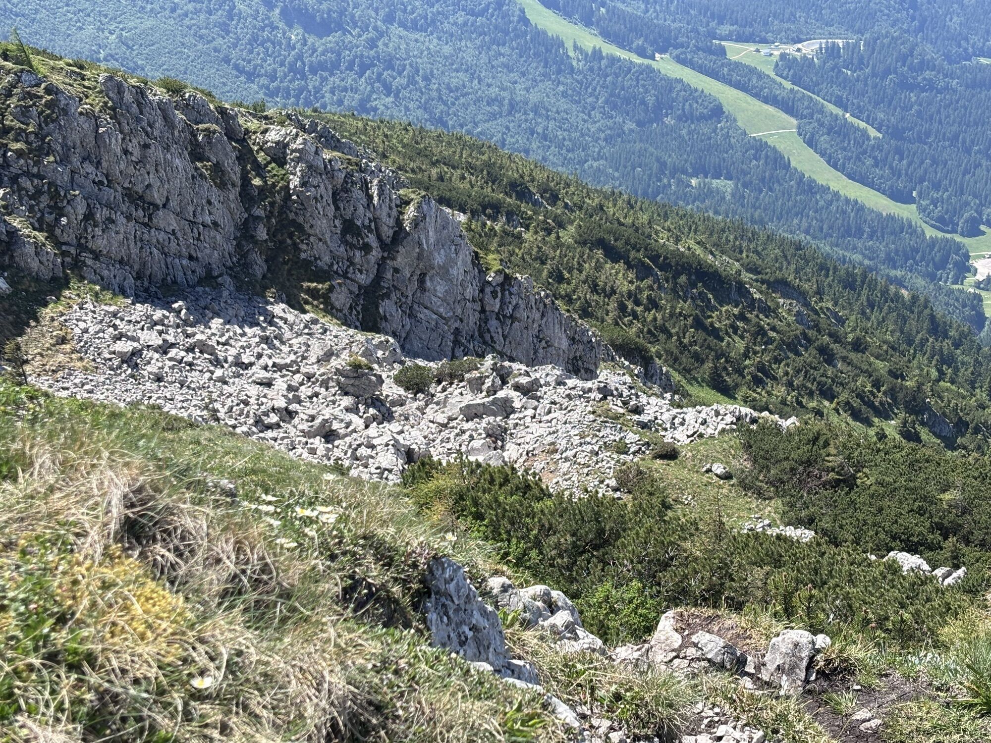
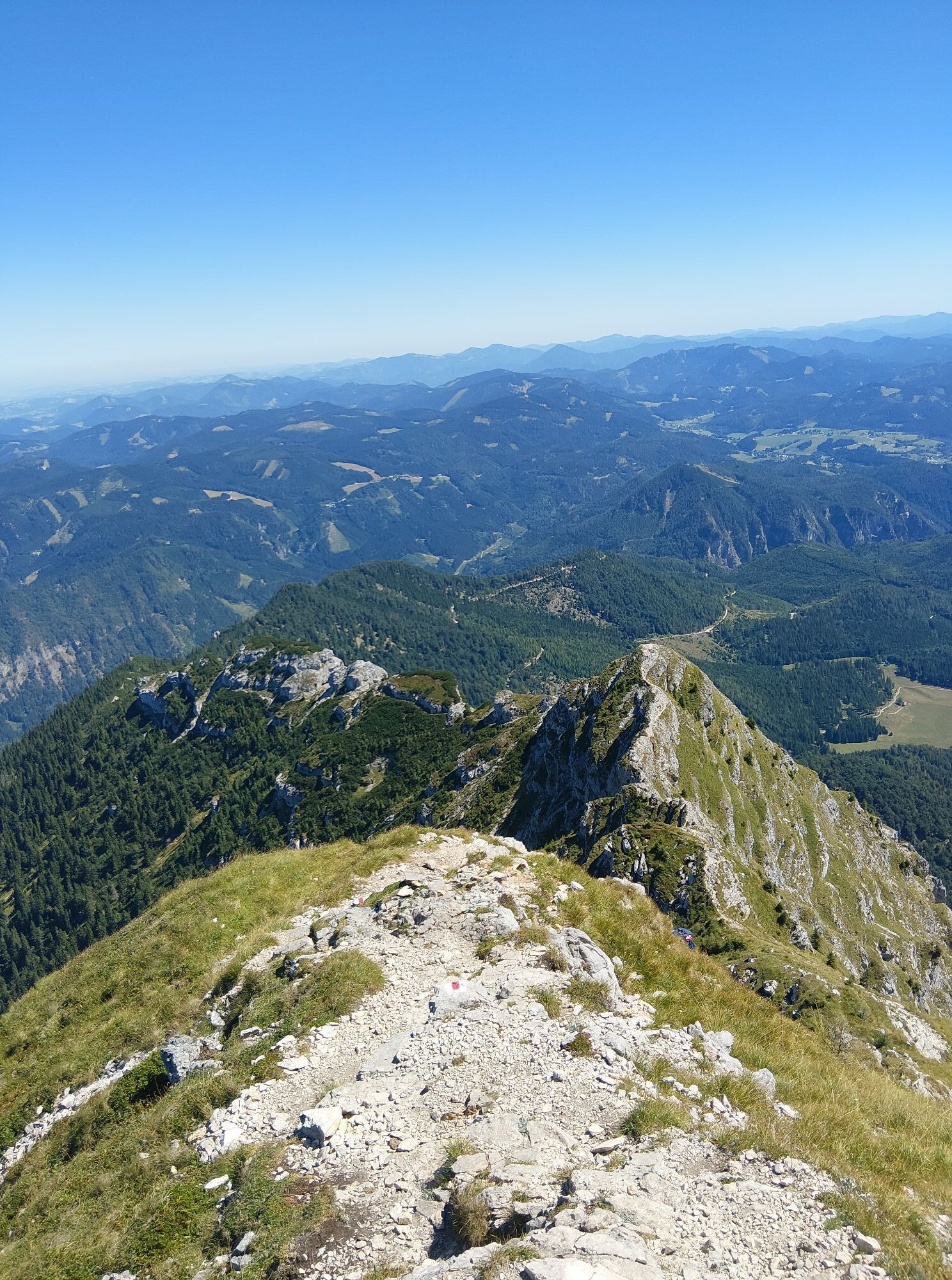
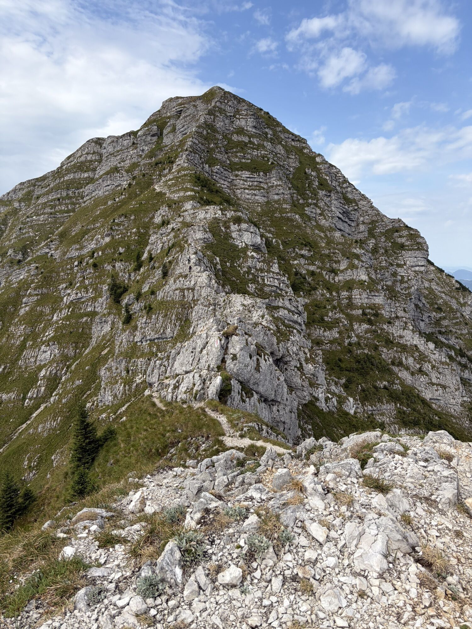
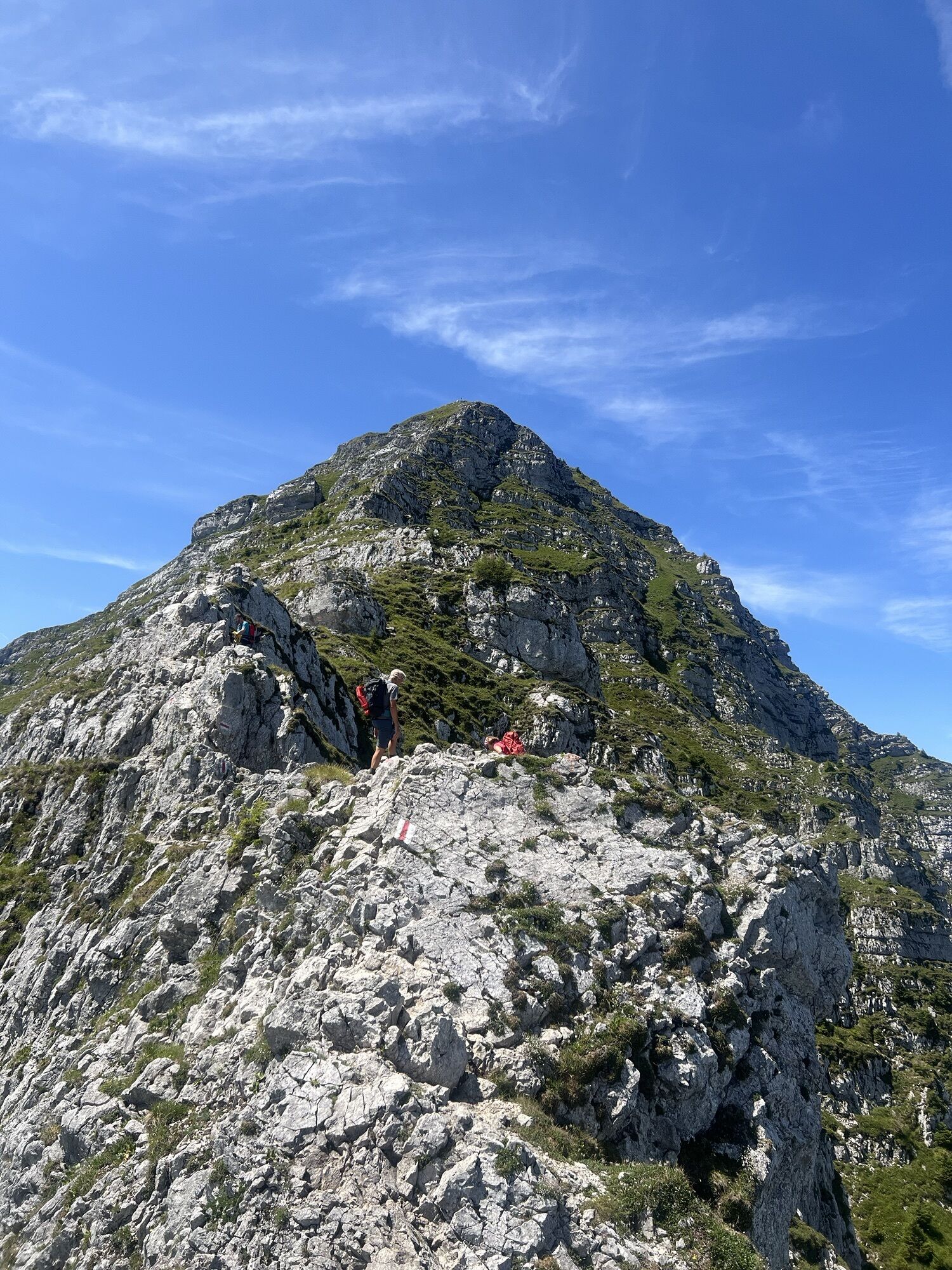
This high-alpine loop hike leads over the Riffelsattel, along the south face of the Ötscher up to the Rauhen Kamm, to the Ötscher summit, and back down into the valley. Along the Rauhen Kamm, climbing sections alternate with exposed, steep sections. Only shortly before the summit does the hike become easier again, leading across a high plateau. On the descent, the Ötscher mountain hut, located right along the trail, invites hikers to stop for a break.
This challenging hike involves significant elevation gain. Suitable only for experienced mountain hikers who are sure-footed and have a head for heights. Safe and, above all, dry weather conditions are essential here. Take special care when encountering old snow in early summer!

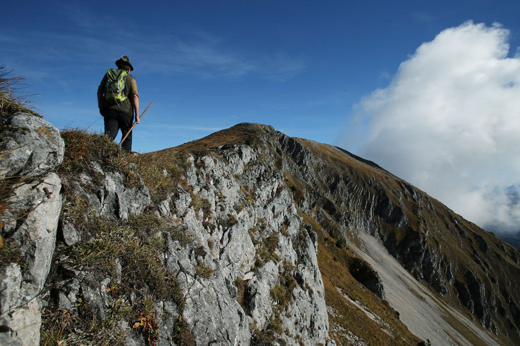

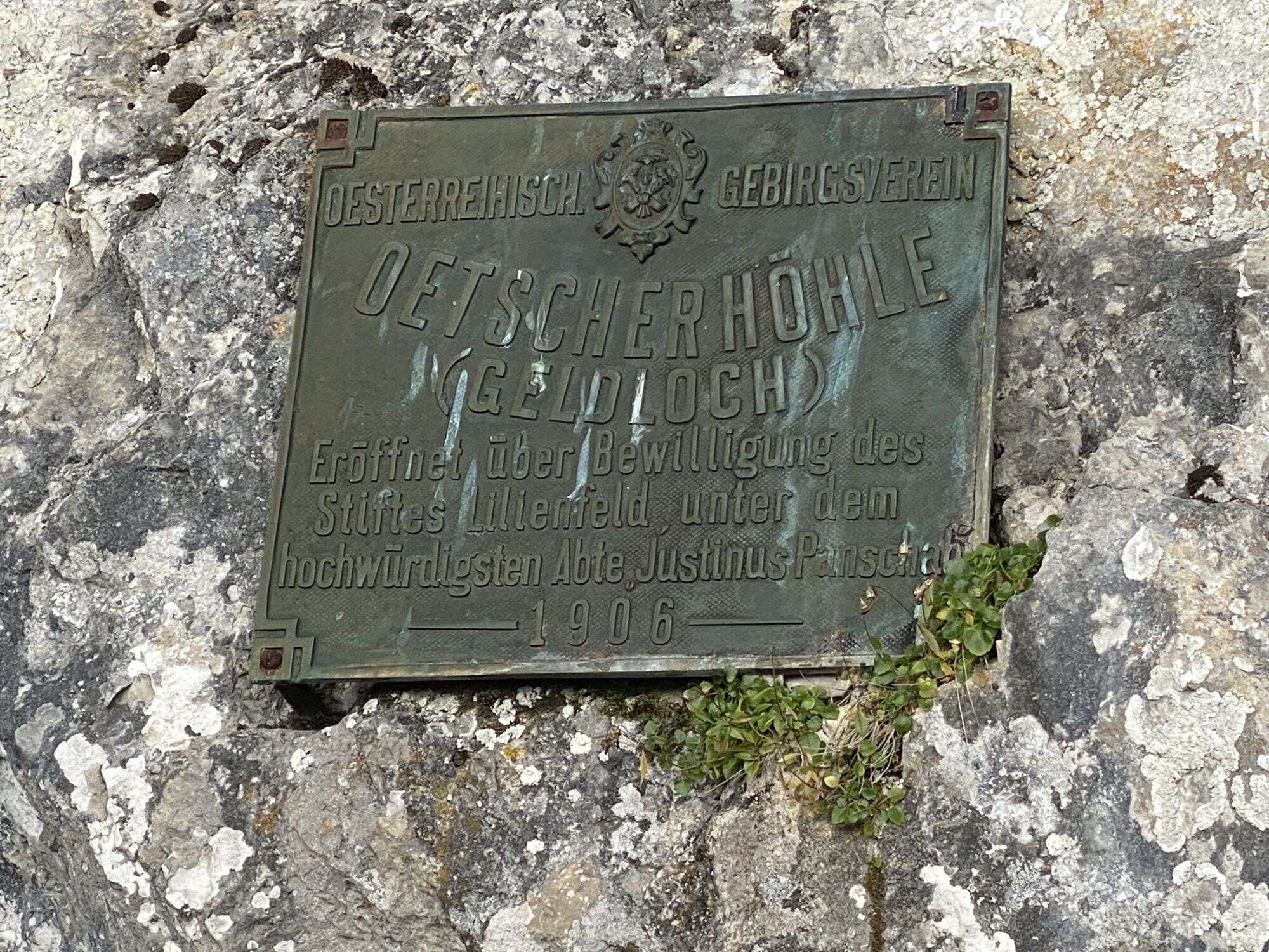
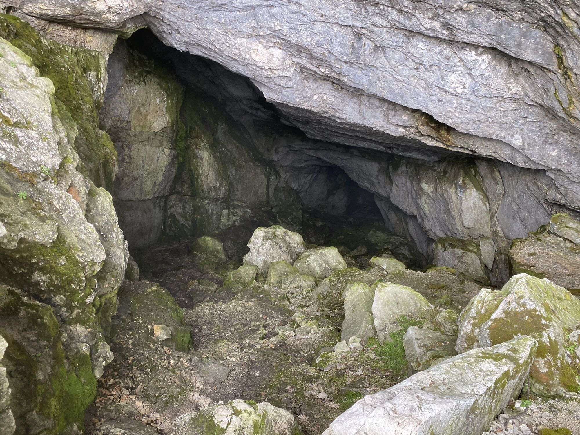
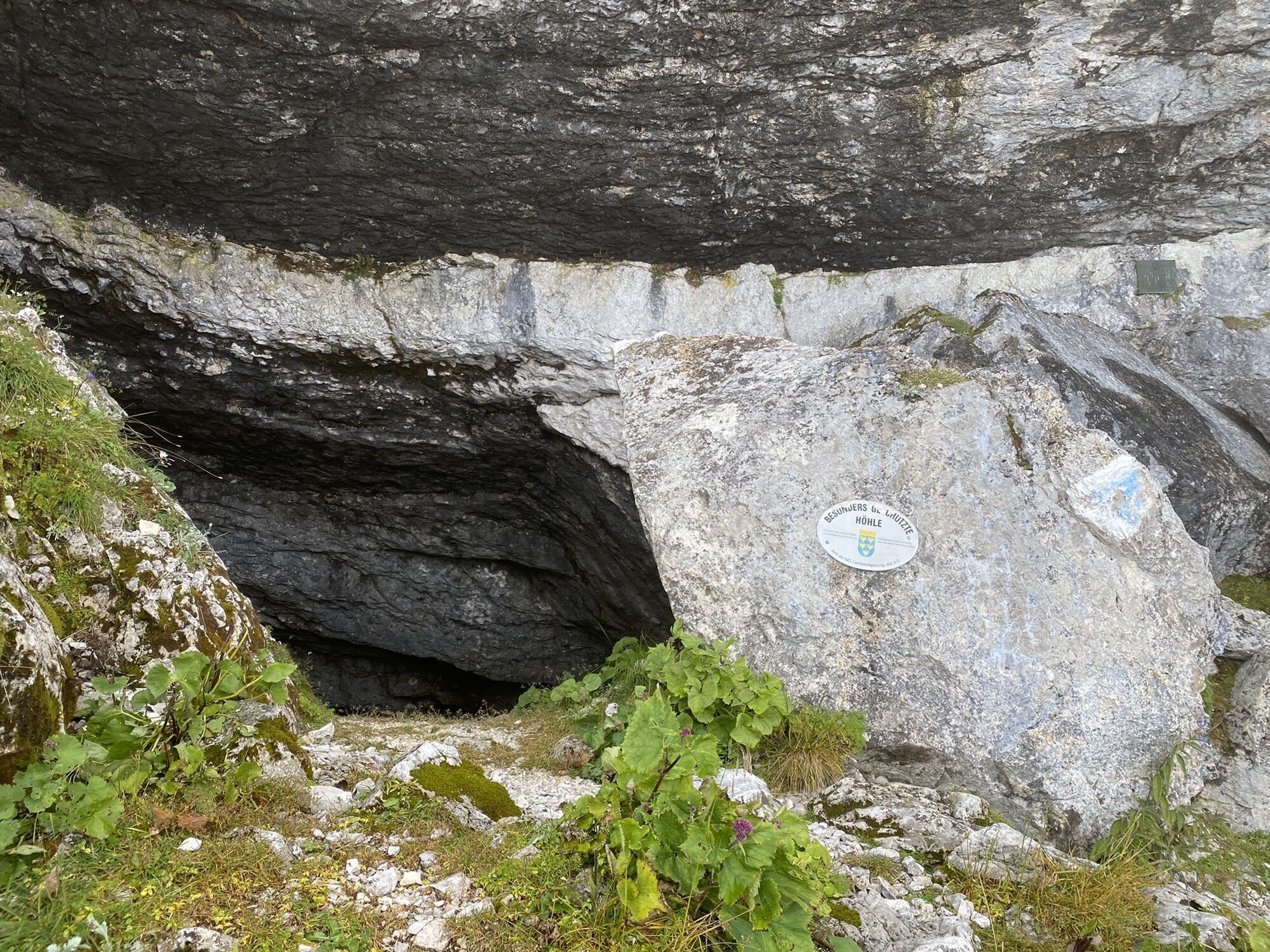
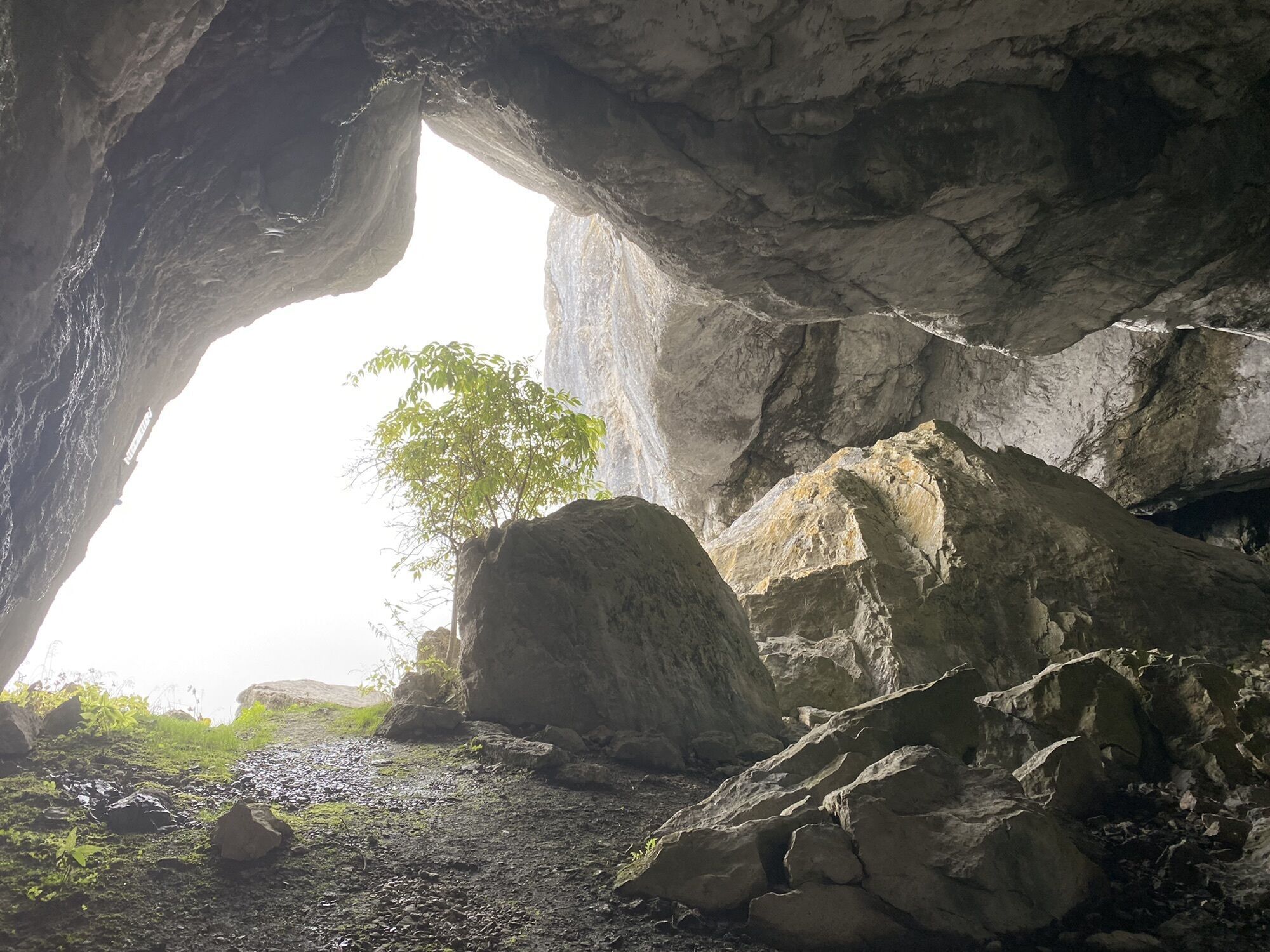
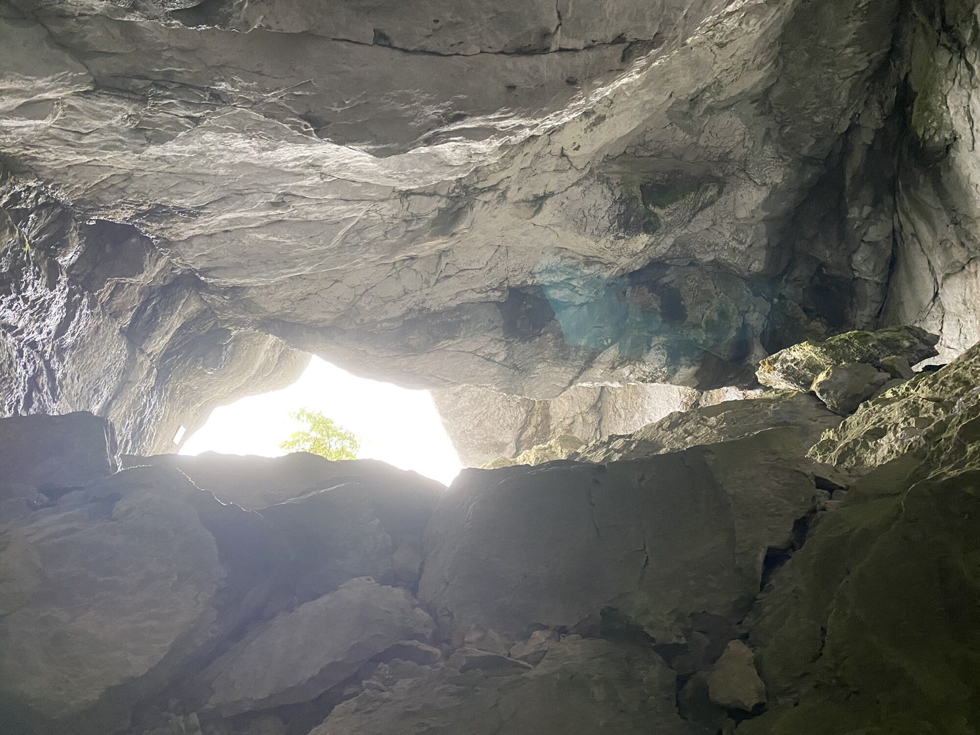
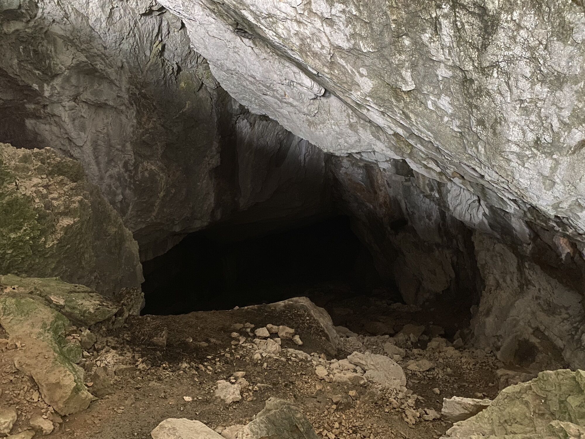
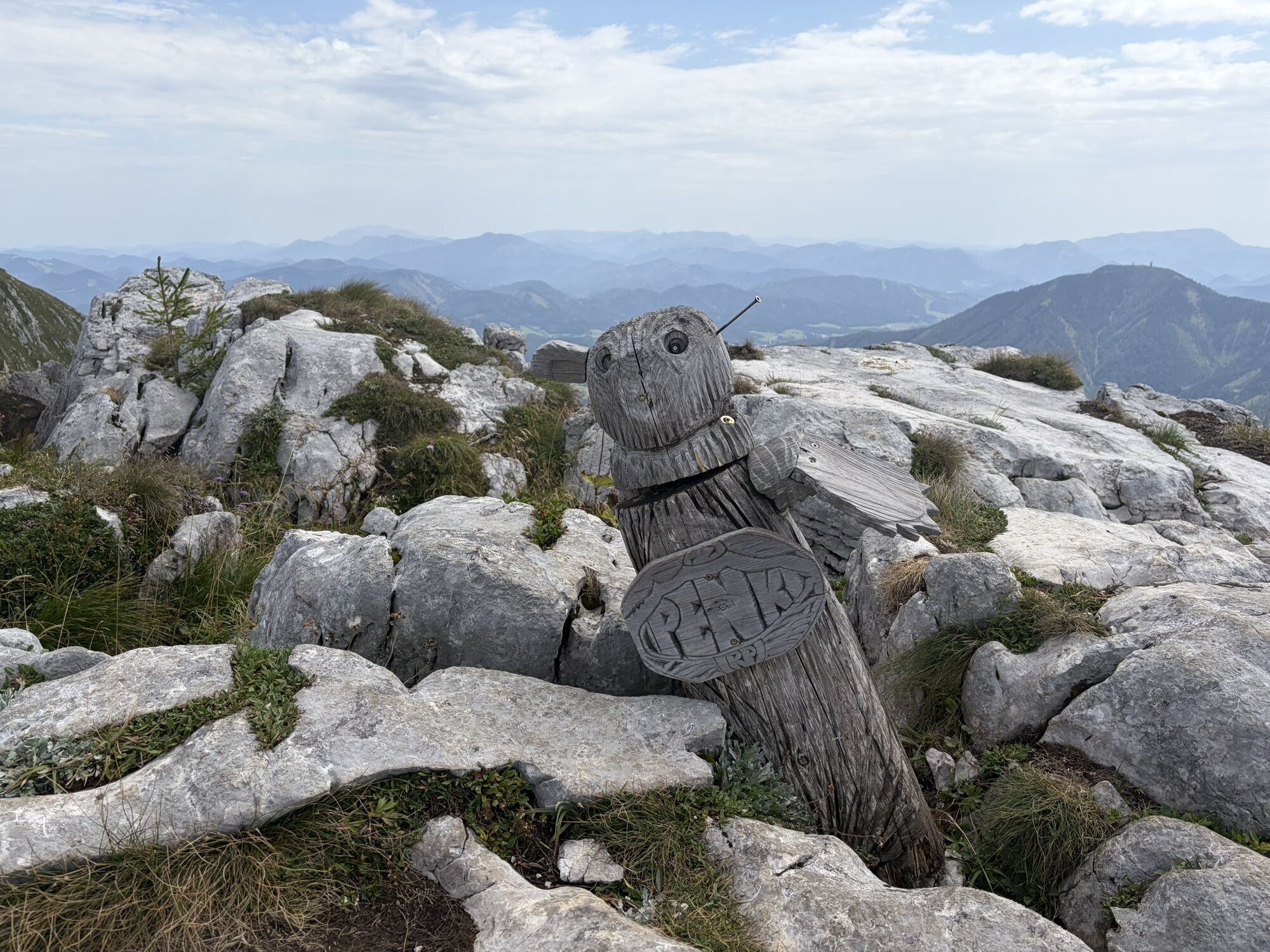
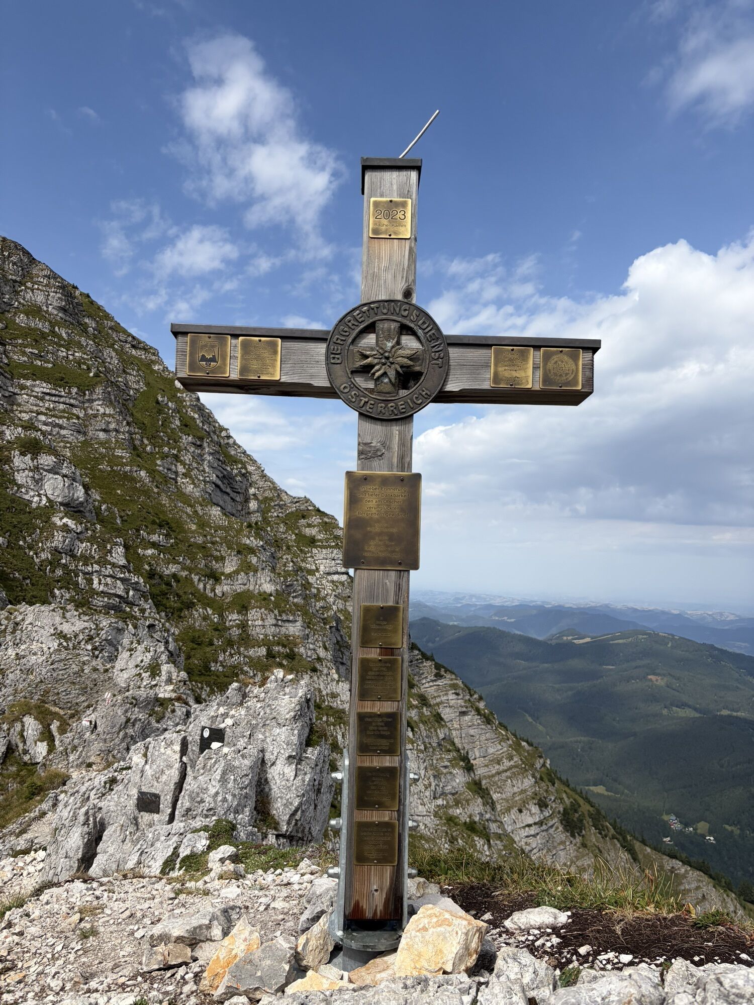
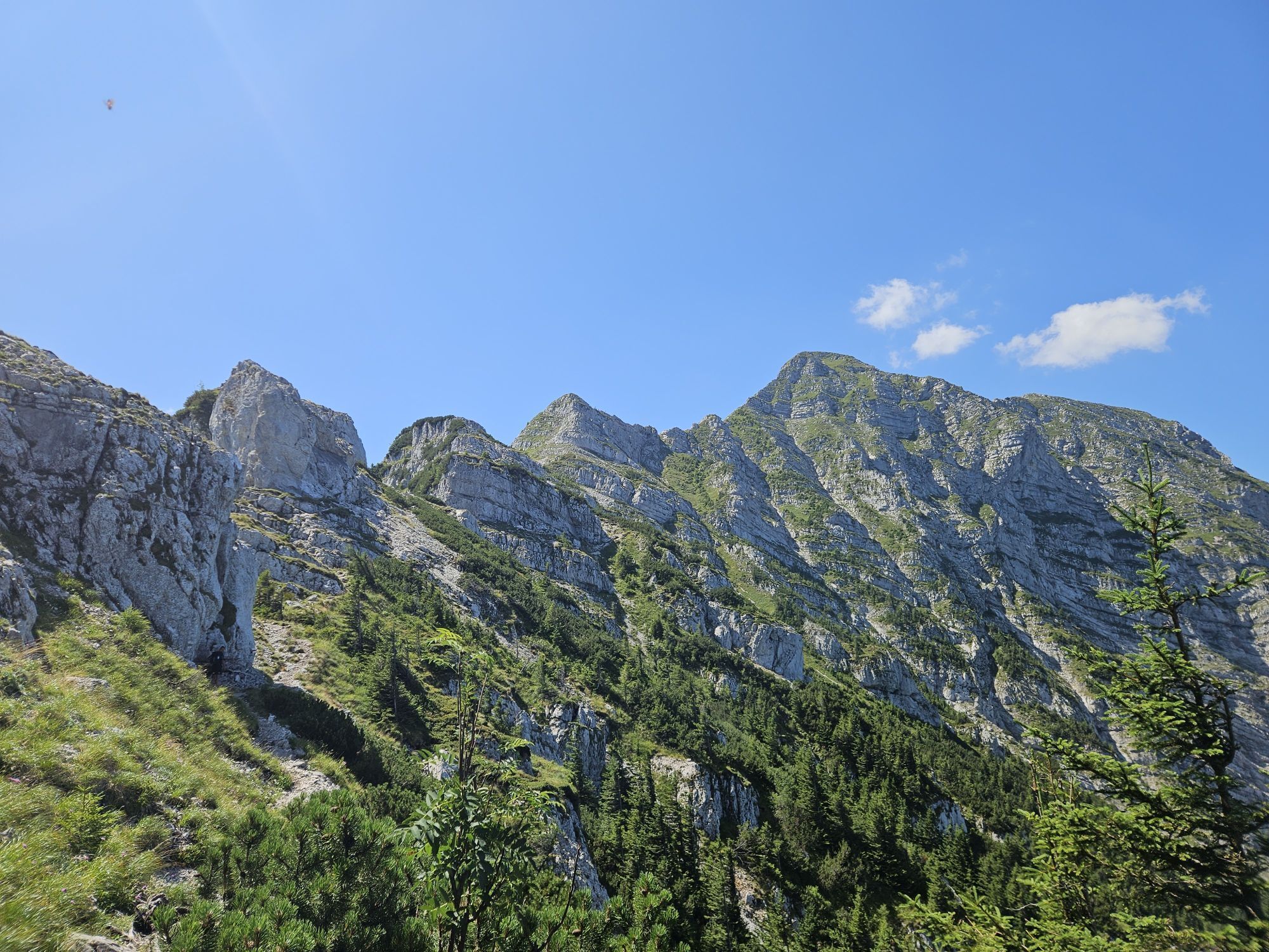
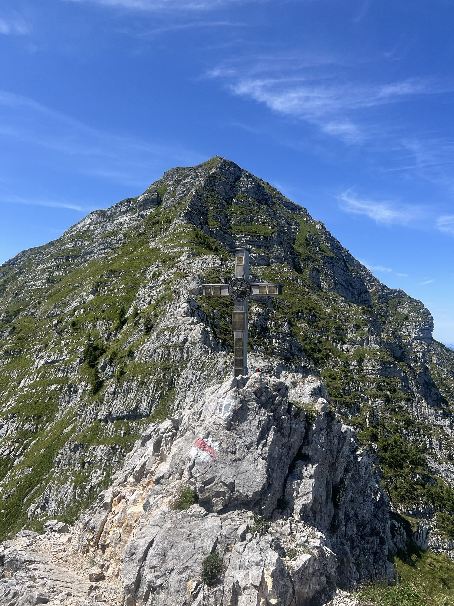
Starting at the Weitental valley station, the trail leads through forests and across meadows up to the Riffelsattel. From there, head toward the Ötschergräben, descending through a beech forest to a forest road. Follow this road to Jägerherz, then continue through the forest, past Geldloch and Taubenloch, to the northeast ridge. Continue through mountain pine groves to the trailhead of the Rauer Kamm (1,533 m), then ascend along narrow ledges and rugged rock steps to the Ötscher’s secondary summit. From there, enjoy a pleasant hike across the summit plateau to the Ötscher summit. The descent then leads to the Ötscher mountain hut (approx. 1.5 hours), where you can stop for a break. The trail continues to the Riffelsattel and back down into the valley to the starting point. Alternatively, you can take the chair lift from the mountain hut back to Lackenhof.
sturdy hiking boots, rain gear, provisions, possibly hiking poles, first-aid kit, cell phone
Difficult hike; surefootedness and a head for heights are required. Can be quite slippery in wet conditions. Should only be attempted in good weather.
Please check in advance for any trail or road closures in the Ötscher-Tormäuer Nature Park. You can find this information at https://www.naturpark-oetscher.at/aktuelles-top-informiert-im-naturpark
A1, take the Ybbs exit; follow the Erlauftal federal highway B 25 to Gaming, then continue on to Grubberg. Turn left toward Langau and Lackenhof.
Take the train to Scheibbs, then a VOR bus to Lackenhof: www.vor.at or 0800/22 23 24
Gr. Ötscher Valley Station – Parking Fees (not required with a lift ticket)
Ybbstaler Alps Tourism Association
www.ybbstaler-alpen.at
info@ybbstaler-alpen.at
T 43-5-93949
-------------------------------------
Ötscher-Tormäuer Nature Park
+43 272821100
info@naturpark-oetscher.at
Infórmate
Siempre en directo con más de 9.500 webcams. bergfex Como usuario Pro, ahora puede ver las webcams correspondientes a muchos tours en la app de tours desde. Esto le permite ver las condiciones actuales directamente.
Rutas populares en los alrededores
-
4,5
Das 3 Seen-Erlebnis (Lunzer See - Mittersee - Obersee)
medioSenderismo 9,33 km -
4,3
Rund um den smaragdgrünen Lunzer See
luzSenderismo 4,80 km -
4,7
Gemeindealpe
medioSenderismo 13,5 km -
5,0
Von Lackenhof auf den Ötscher
luzSenderismo 5,29 km -
4,9
Cima panorámica Maiszinken - experiencia alpina incluida
medioSenderismo 12,6 km -
4,9
Lassingfall - Ötscherhias - Erlaufklause
medioSenderismo 8,20 km -
4,9
Lackenhof ÖTSCHER Rauer Kamm 19.10.2014
pesadoSenderismo 14,1 km -
4,8
Naturpark Ötscher-Tormäuer Wienerbruck
luzSenderismo 6,06 km -
4,7
Trefflingfall über Hochbärneckhütte
medioSenderismo 12,2 km -
4,7
Erlaufsee-Rundweg
luzSenderismo 5,37 km
Senderismo y rastreo


No se pierda las ofertas y la inspiración para sus próximas vacaciones
Su dirección de correo electrónico se ha añadido a la lista de correo.





