



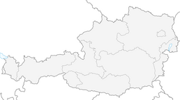


From Altenmarkt to the alpine Hocheck, 1,037 m
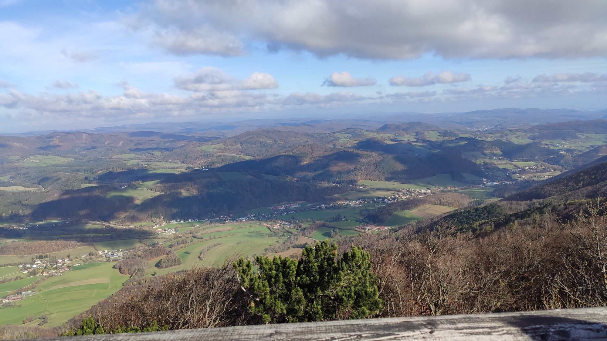
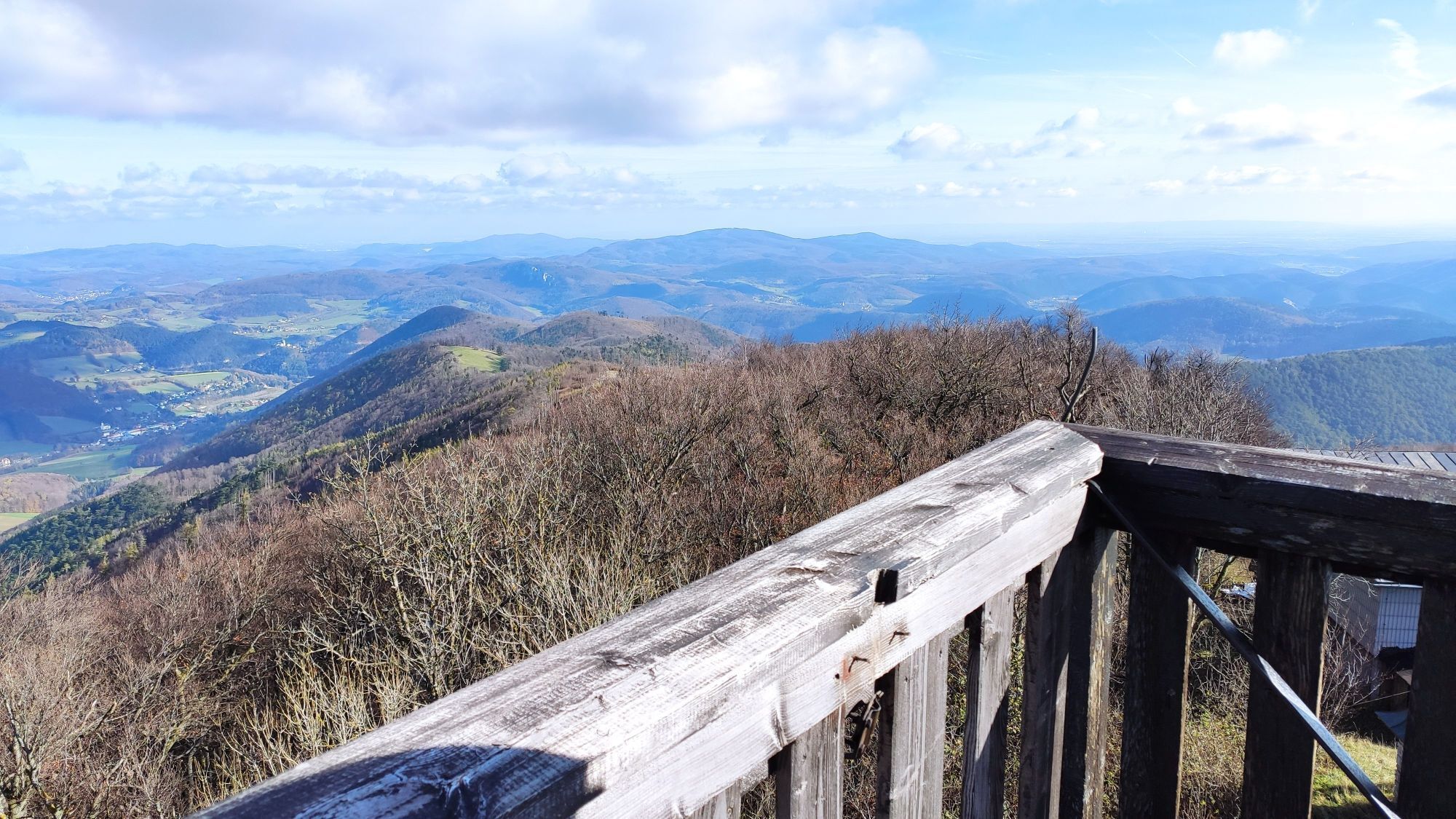
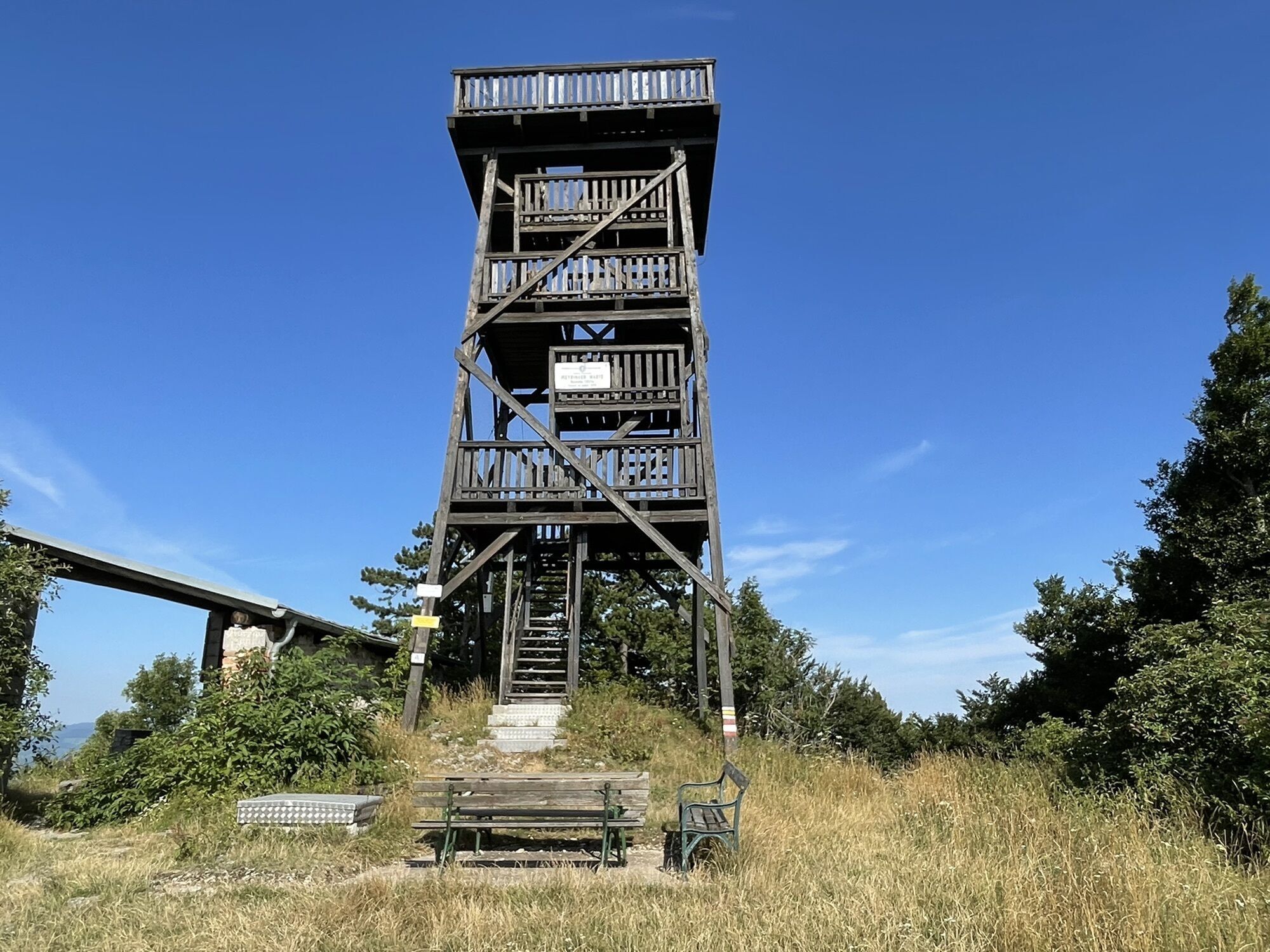
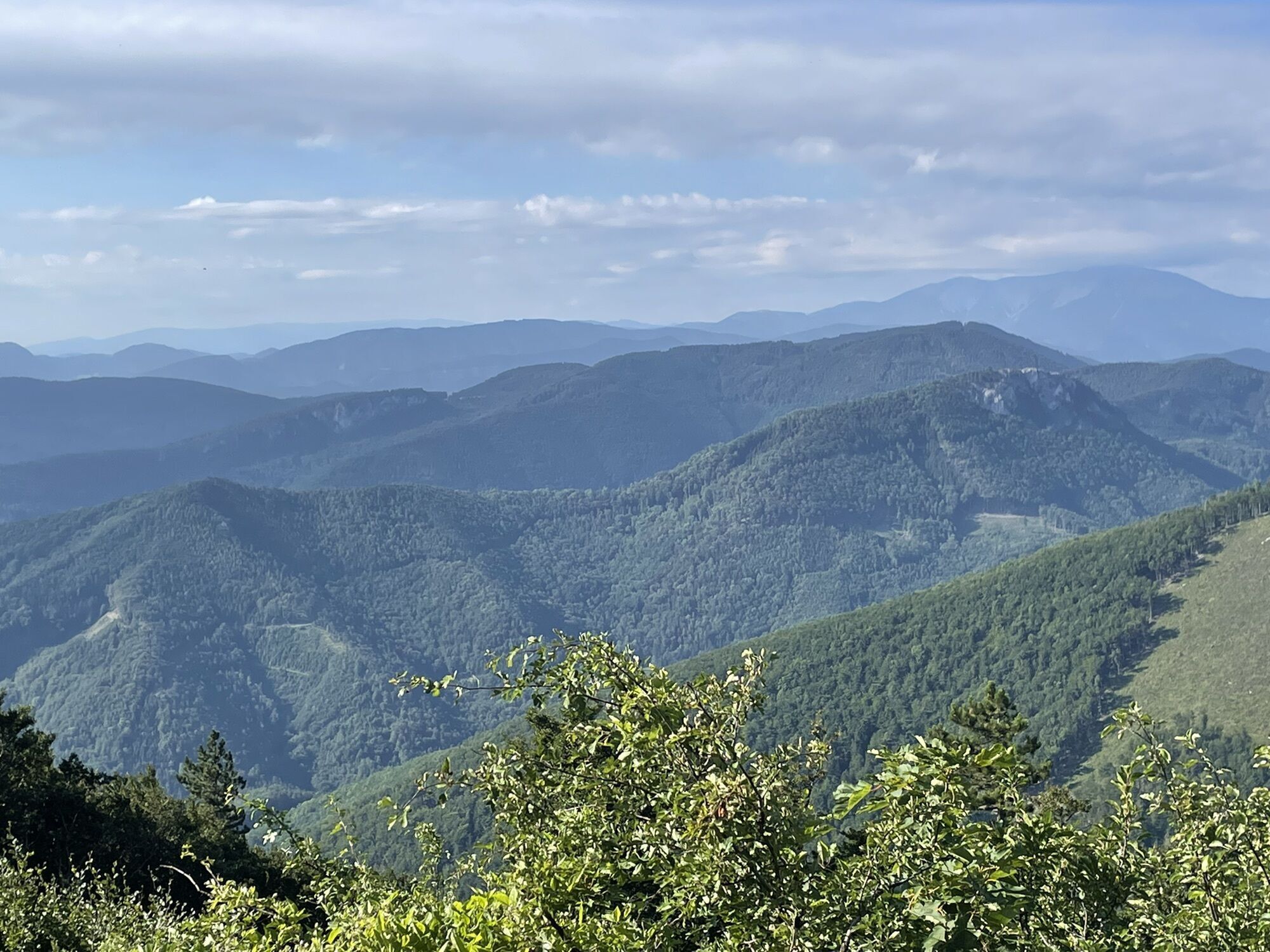
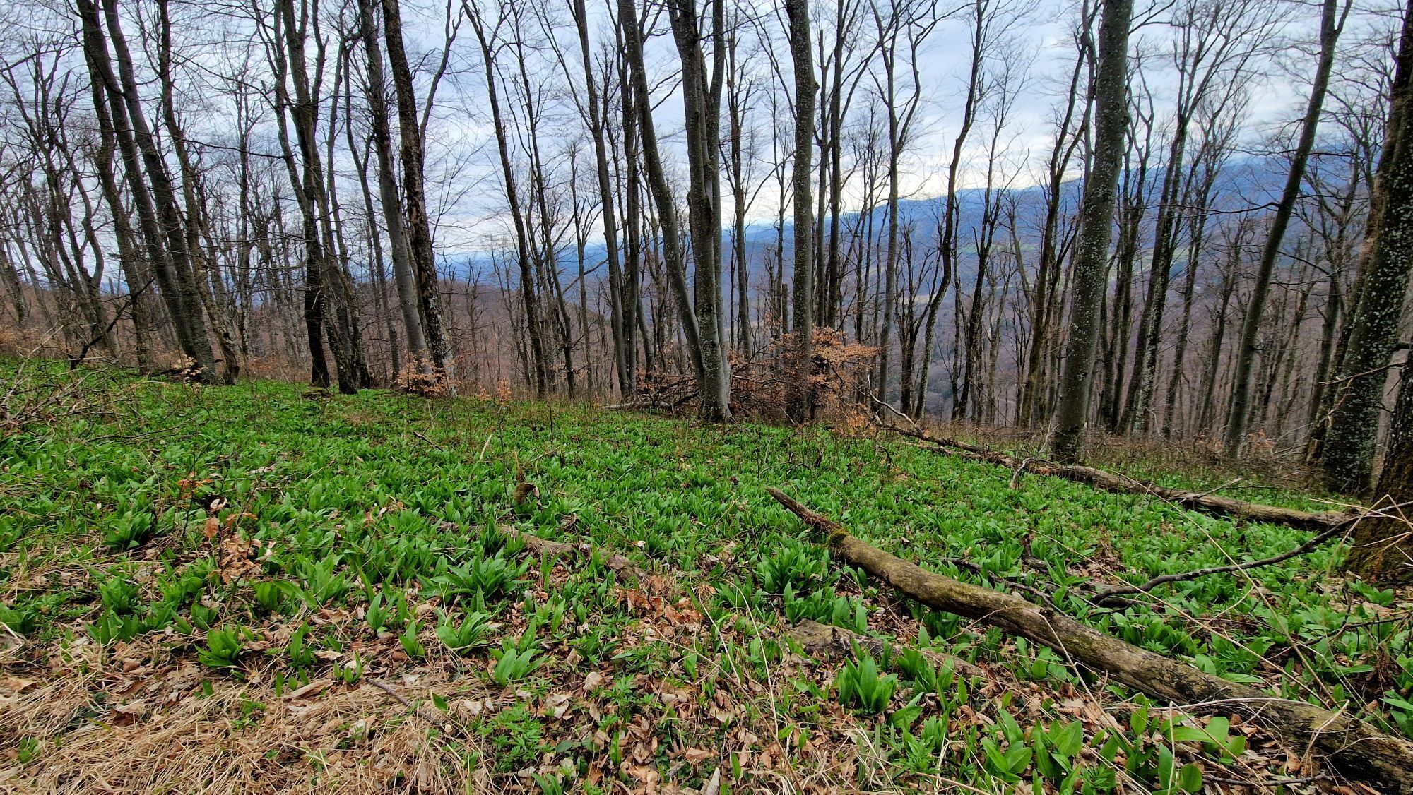
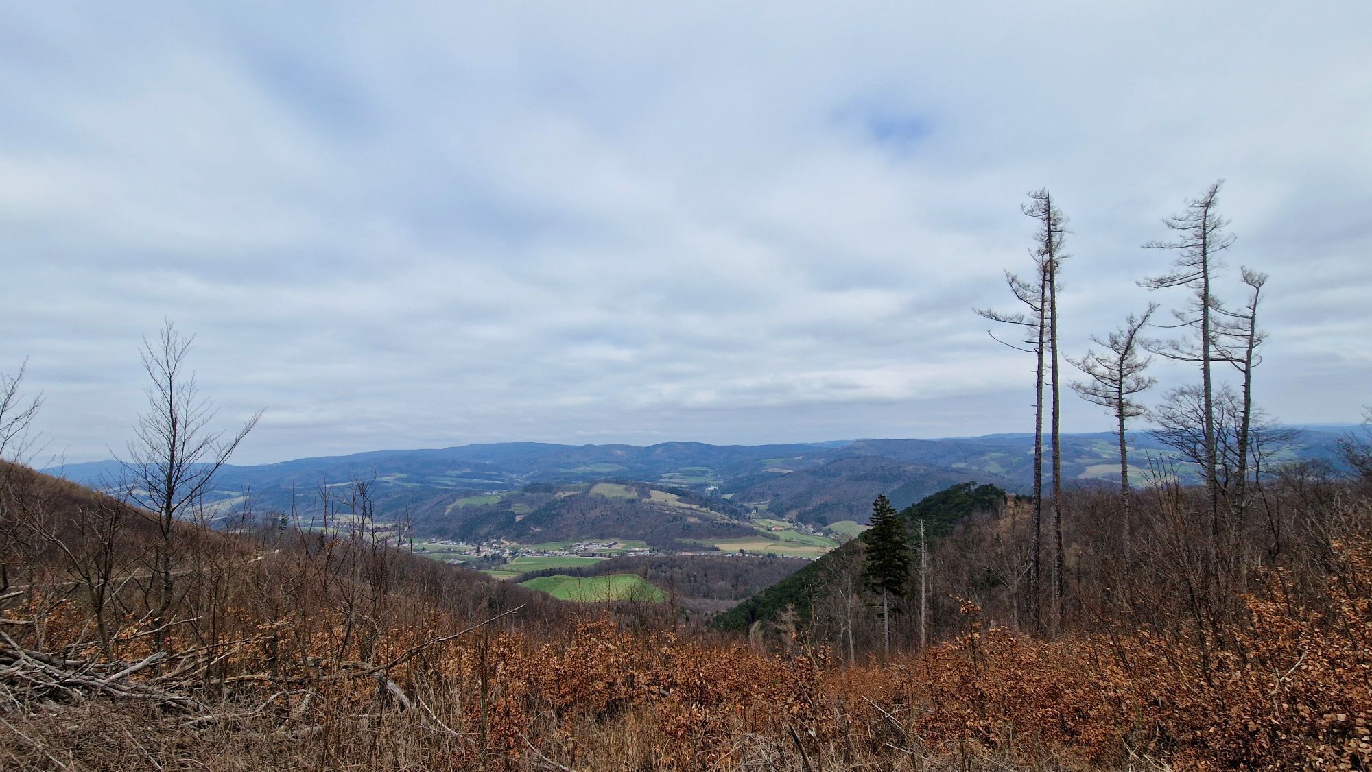
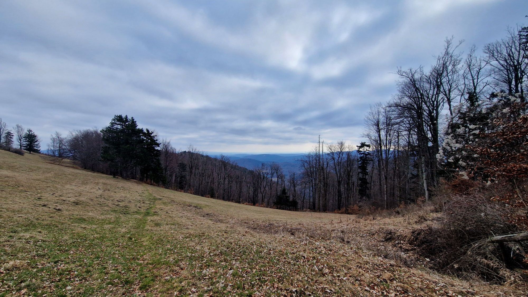
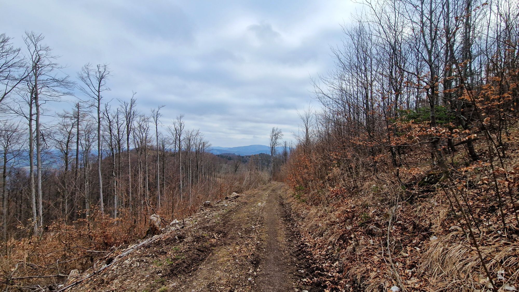
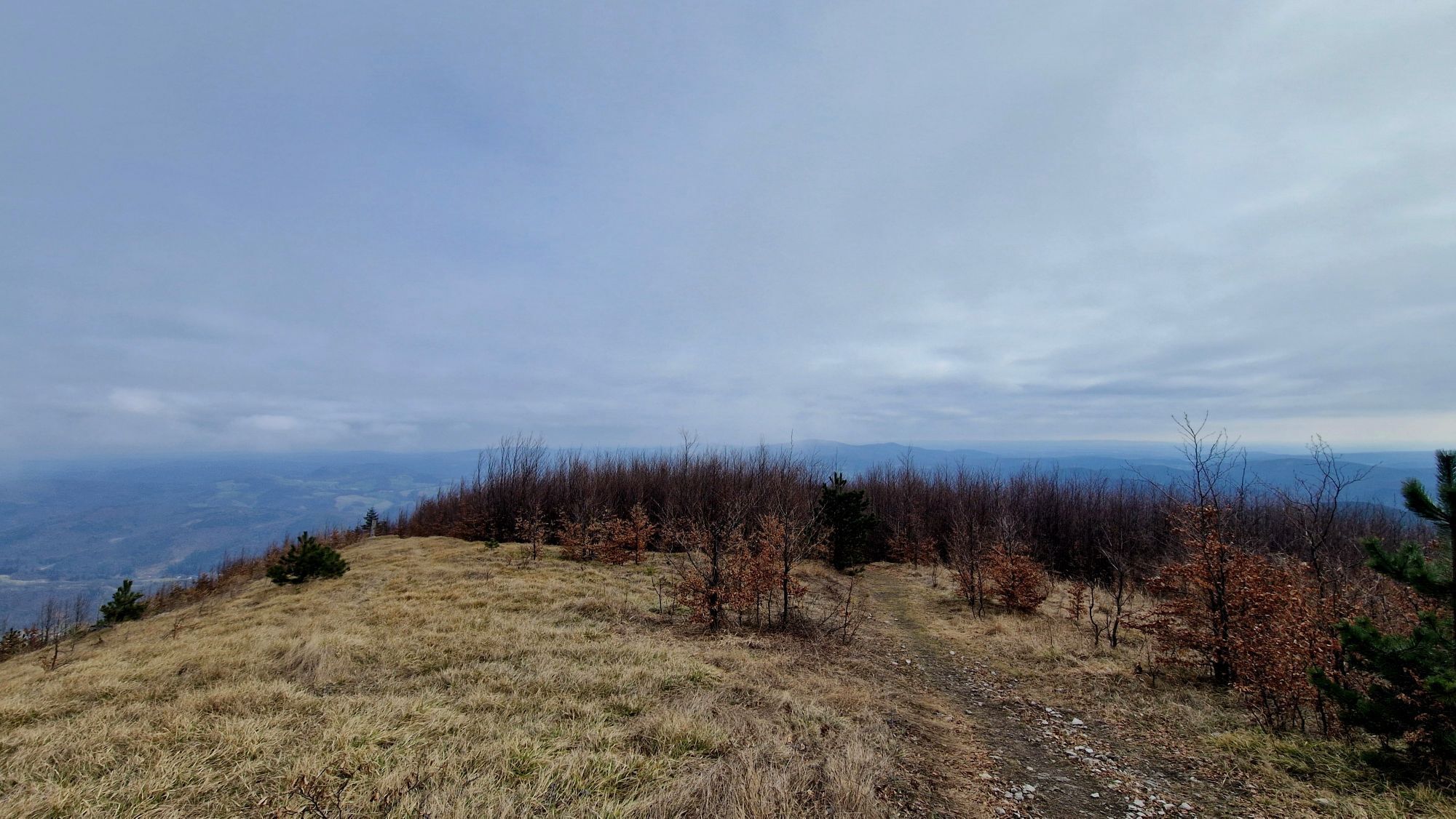
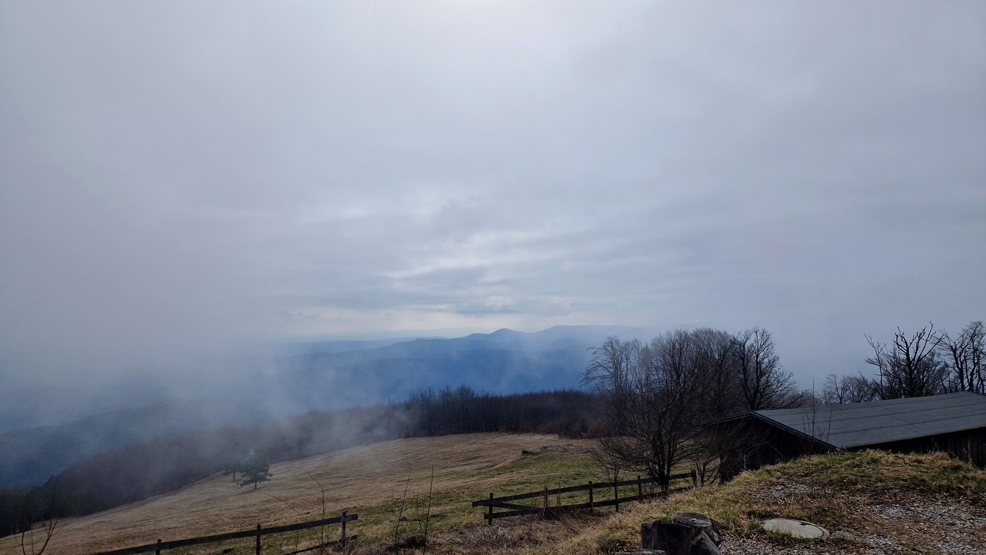
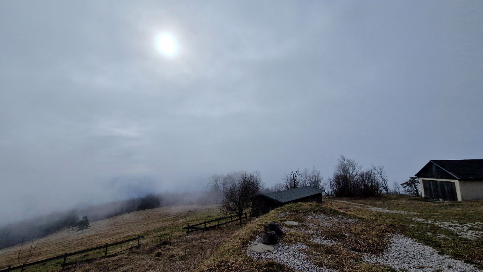
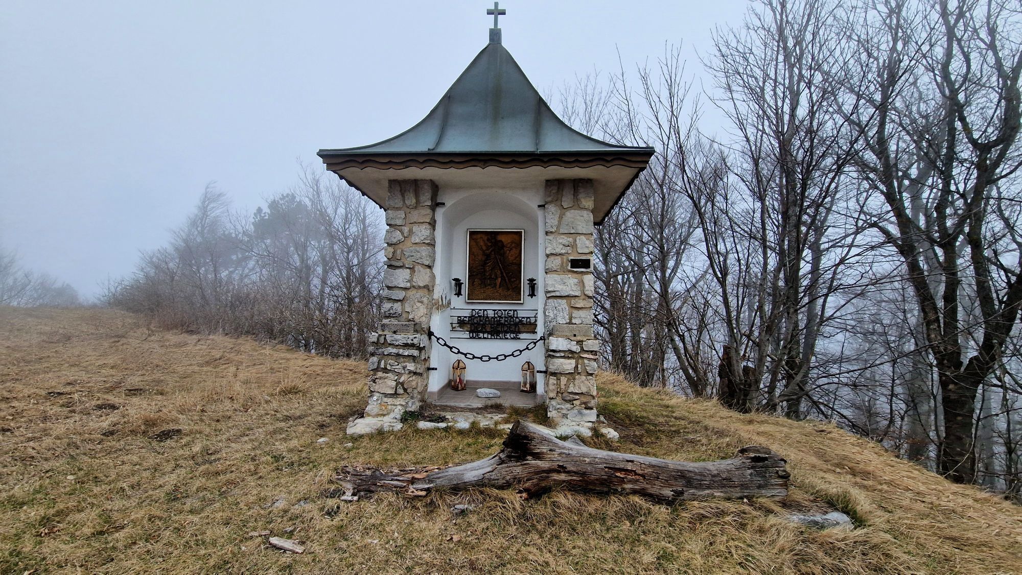
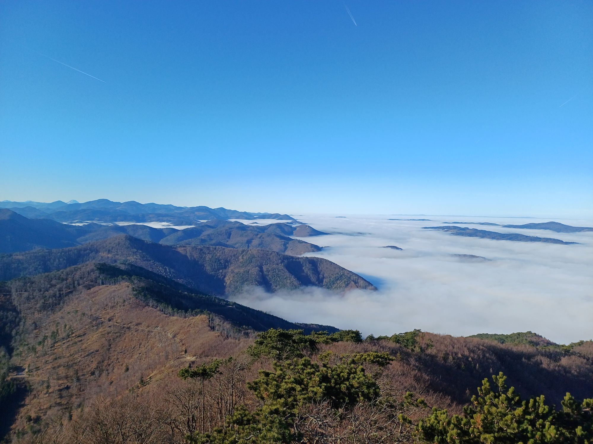
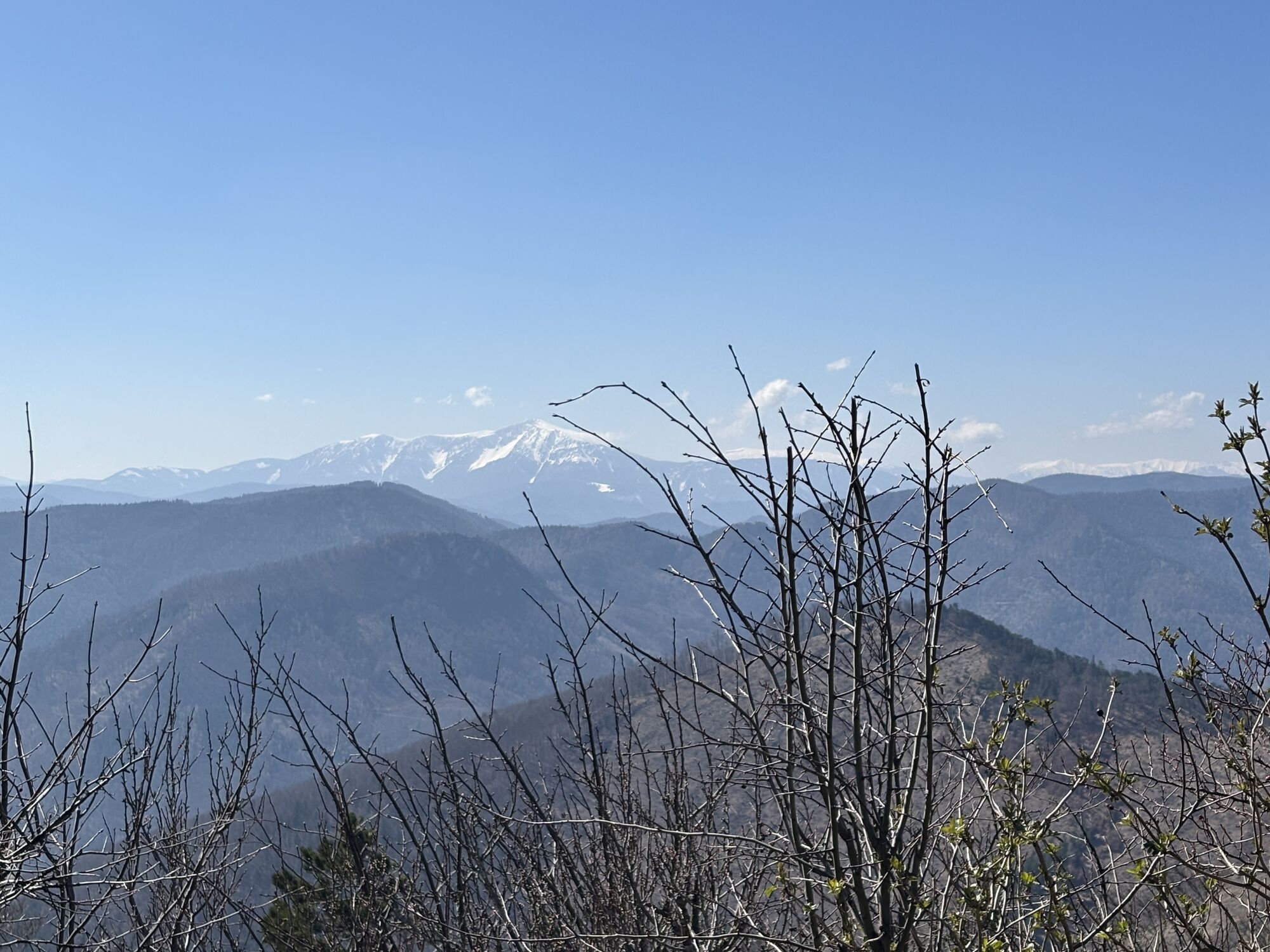
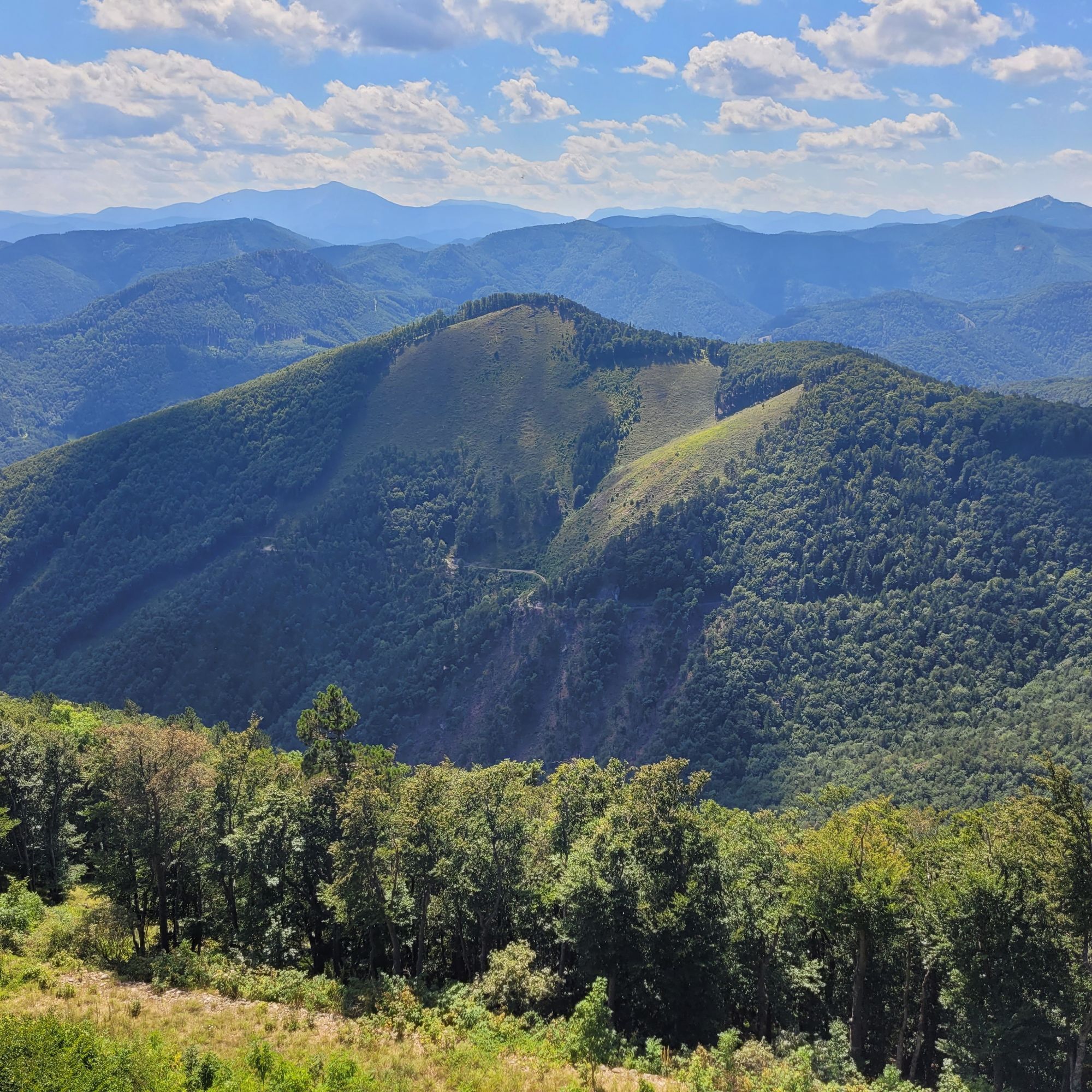
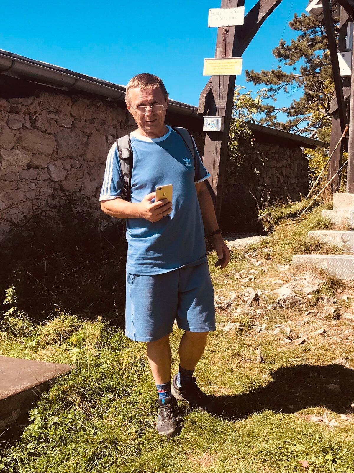
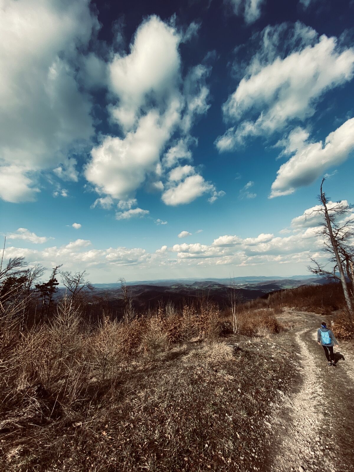
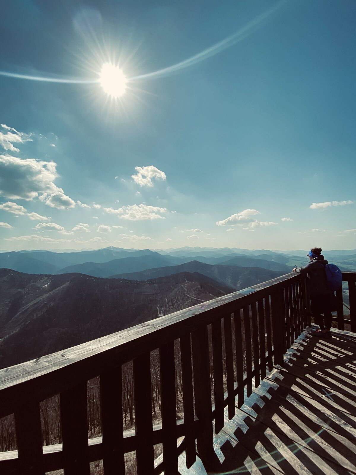
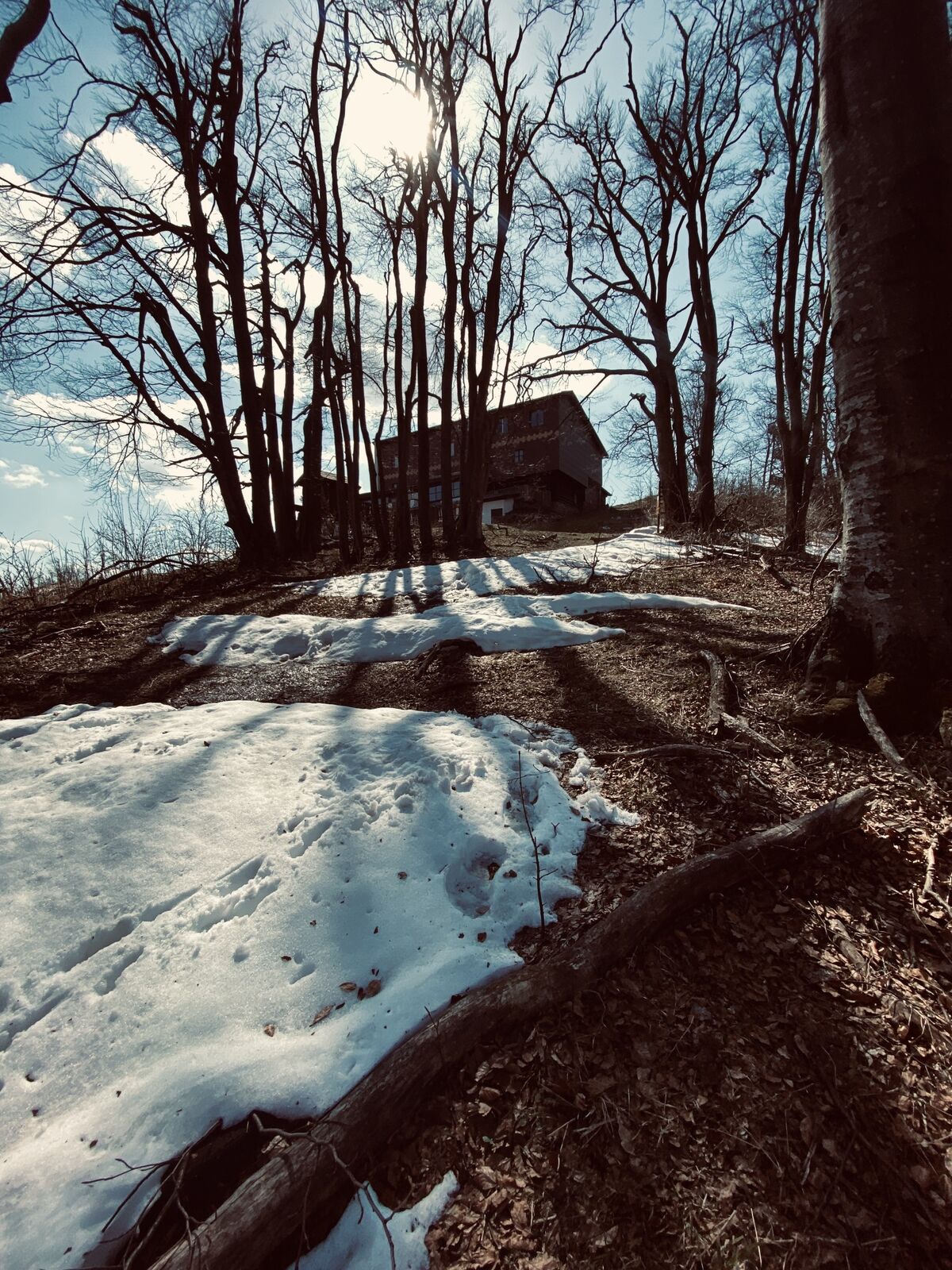
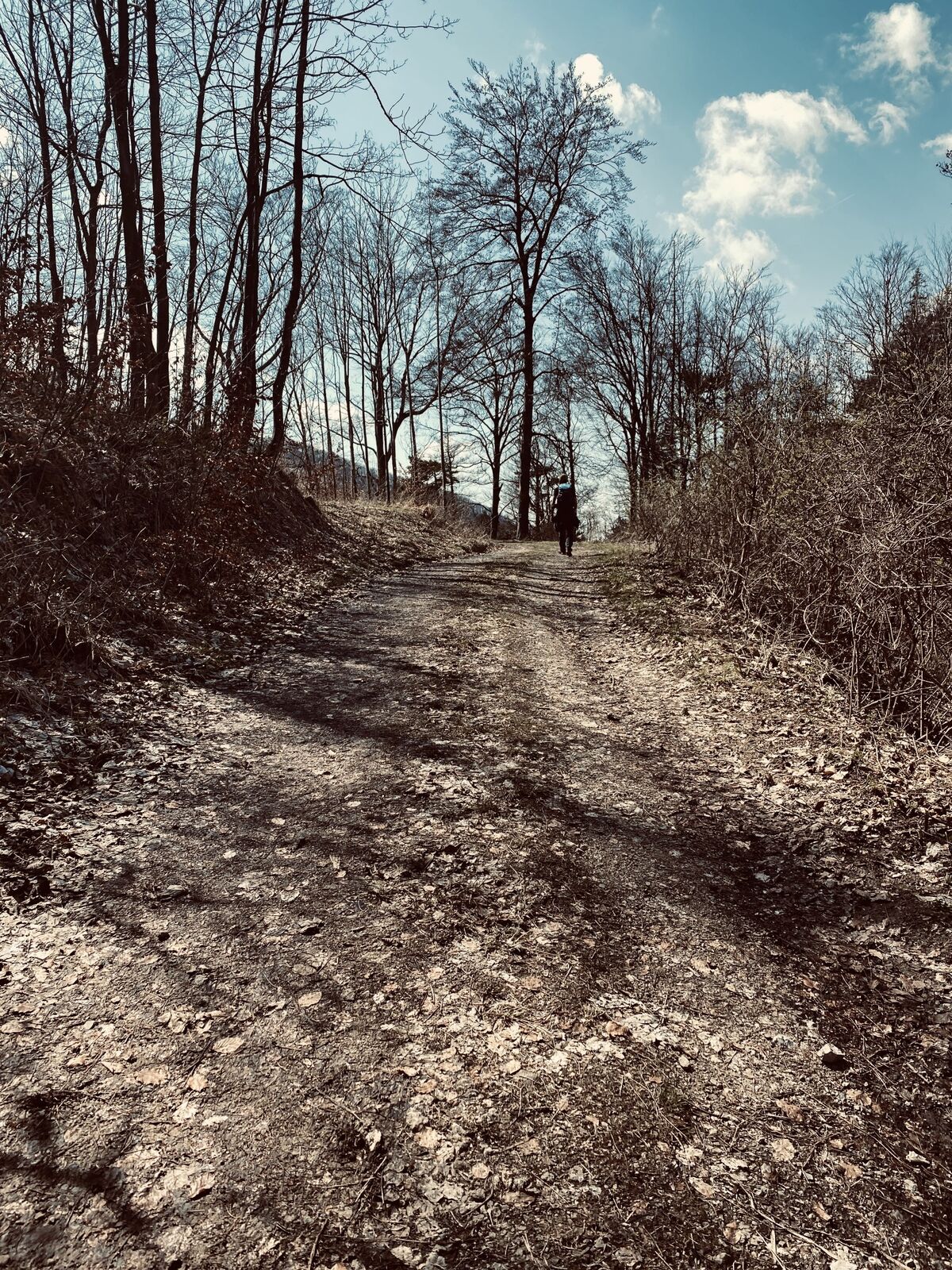
South of the Triesting Valley rise the steep forested slopes of Gemeindeberg, Mittagskogel, and Hocheck. On this hike, these slopes are first approached uphill in the lower section on the Wieshofer Steig,...
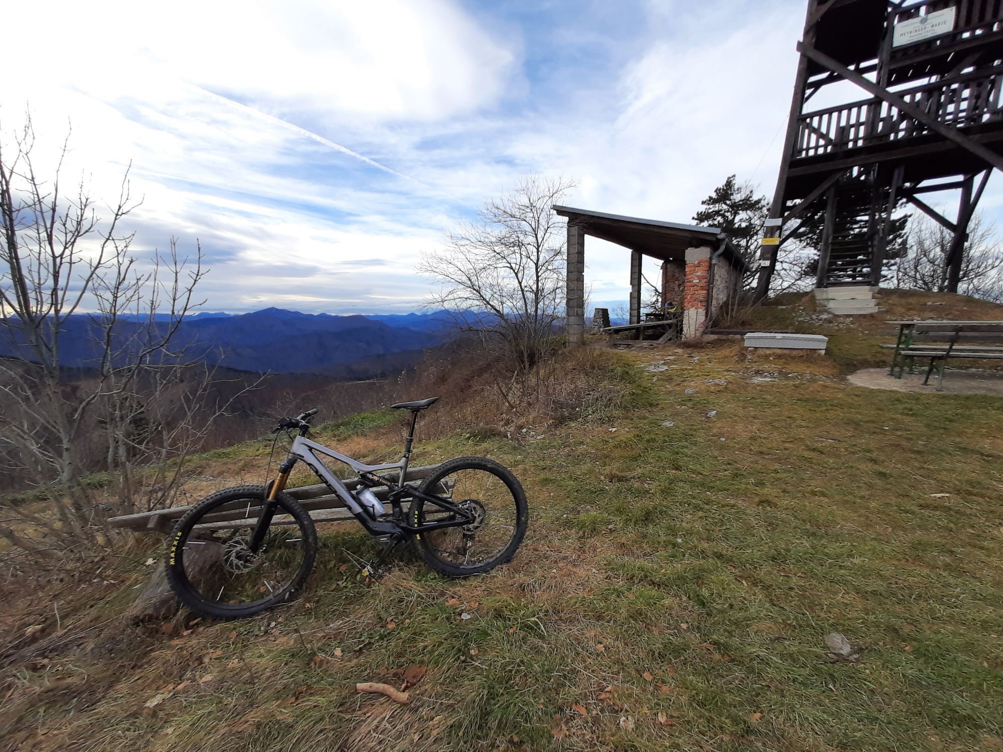
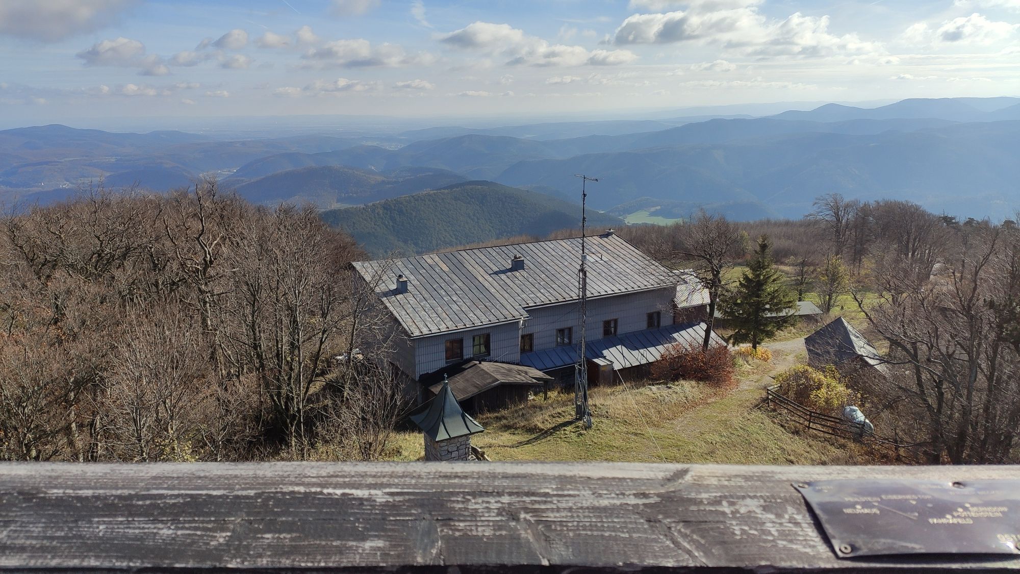
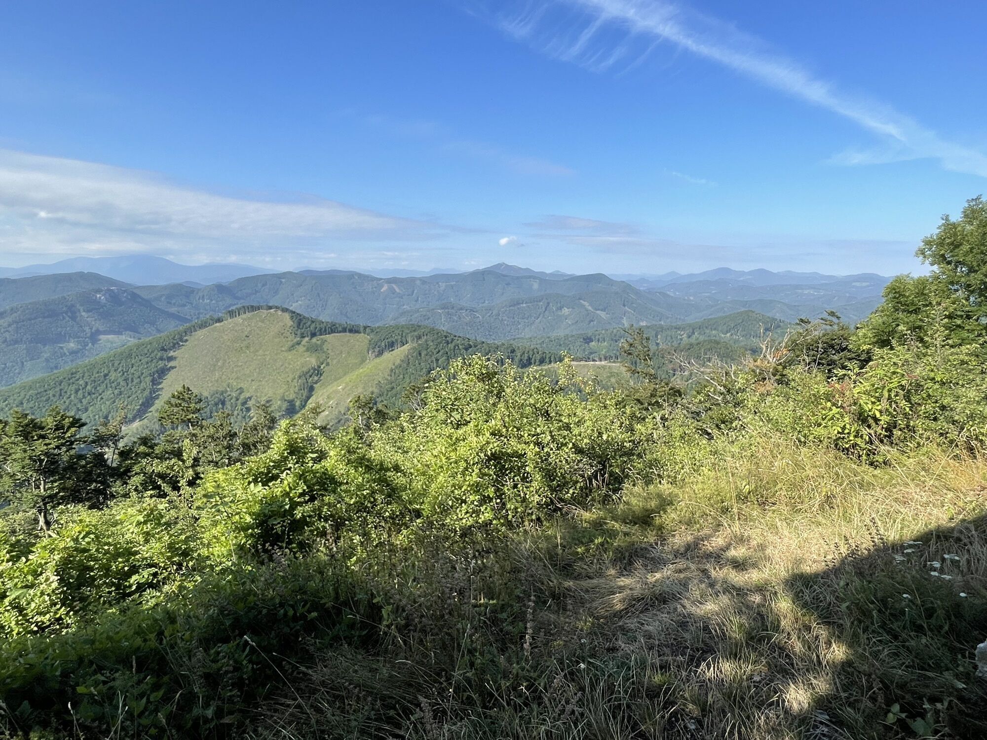
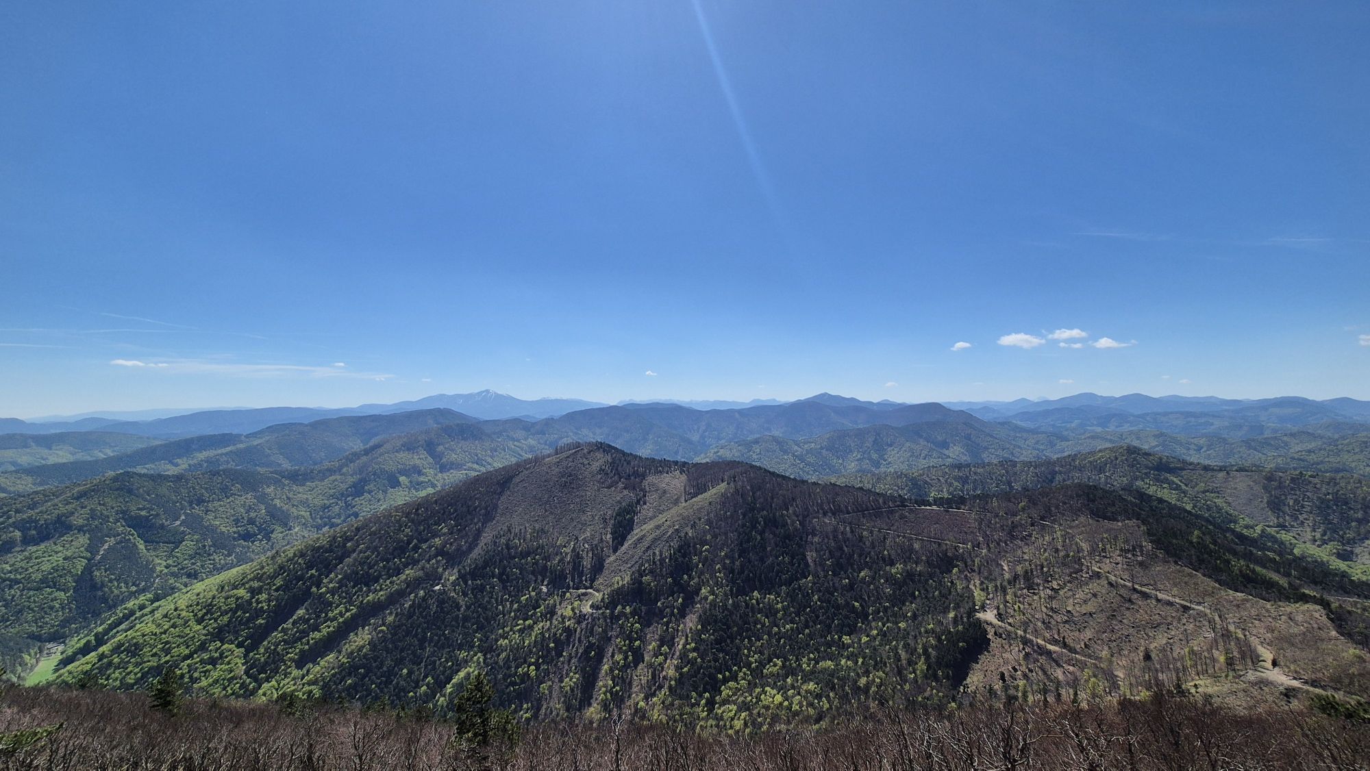
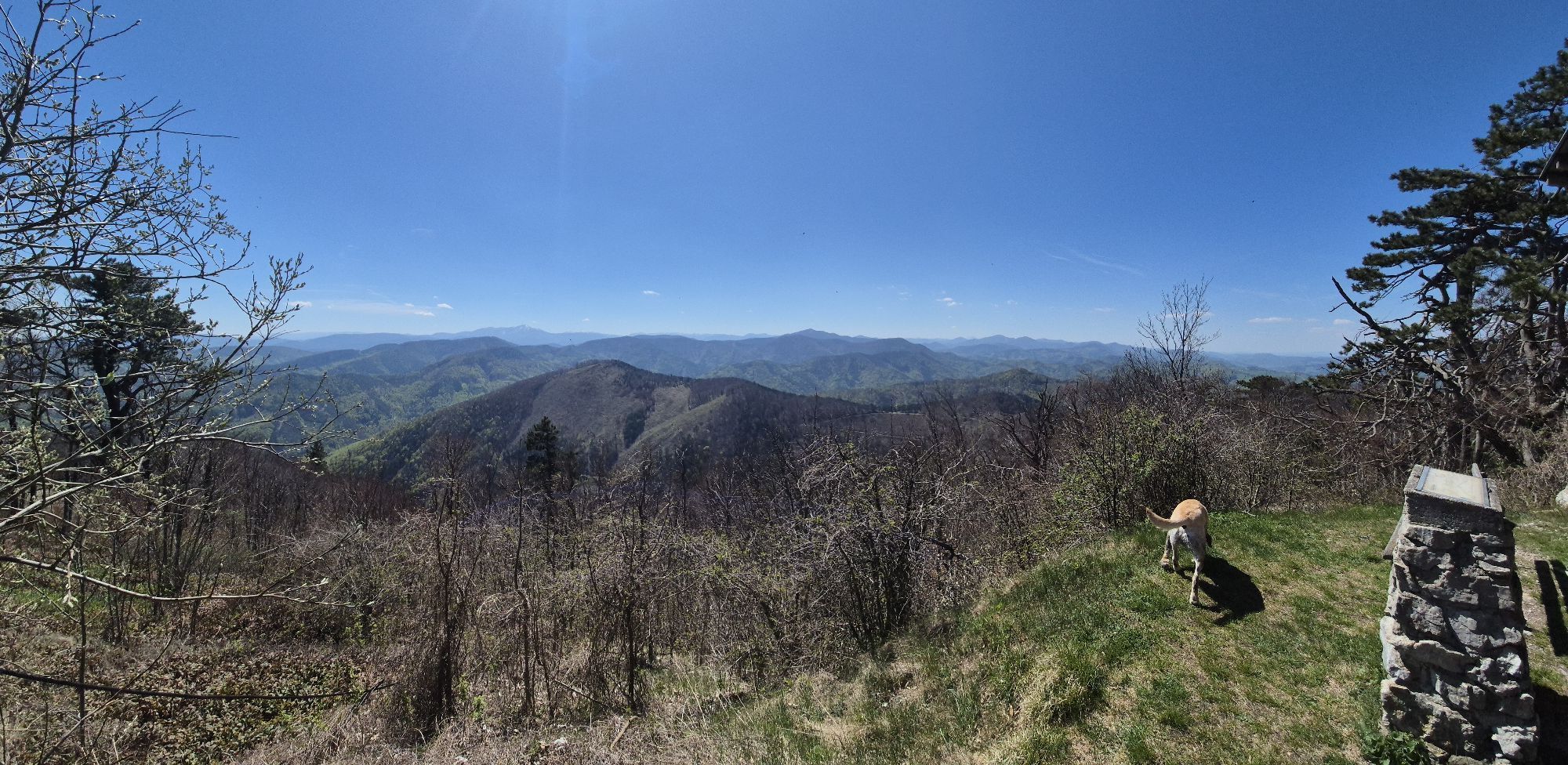
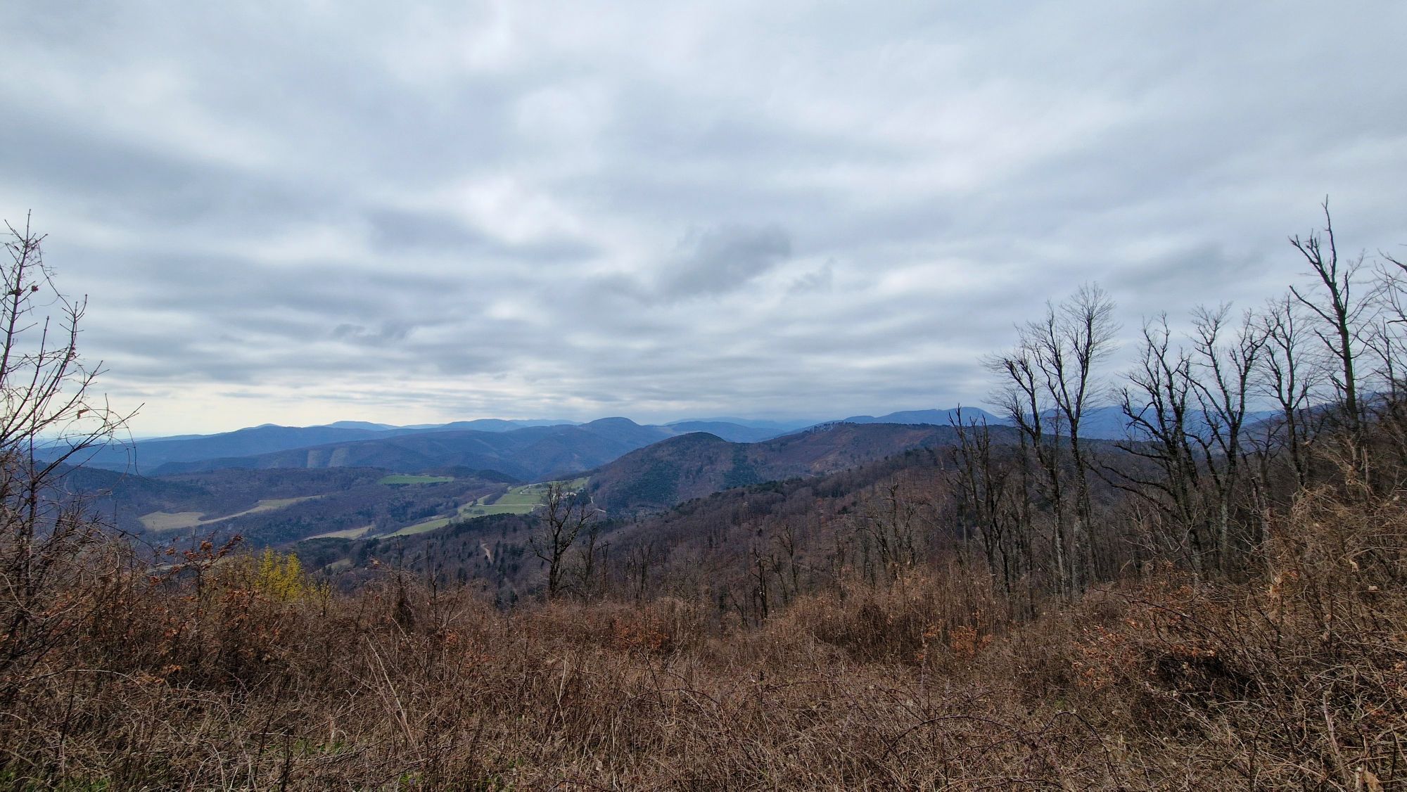
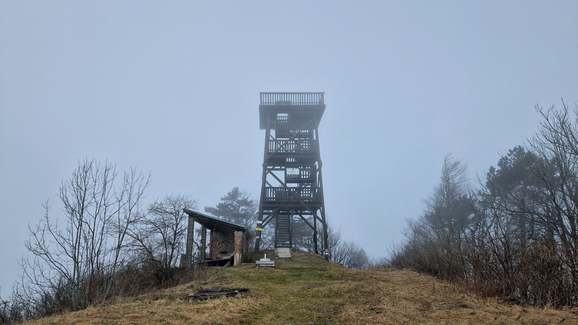
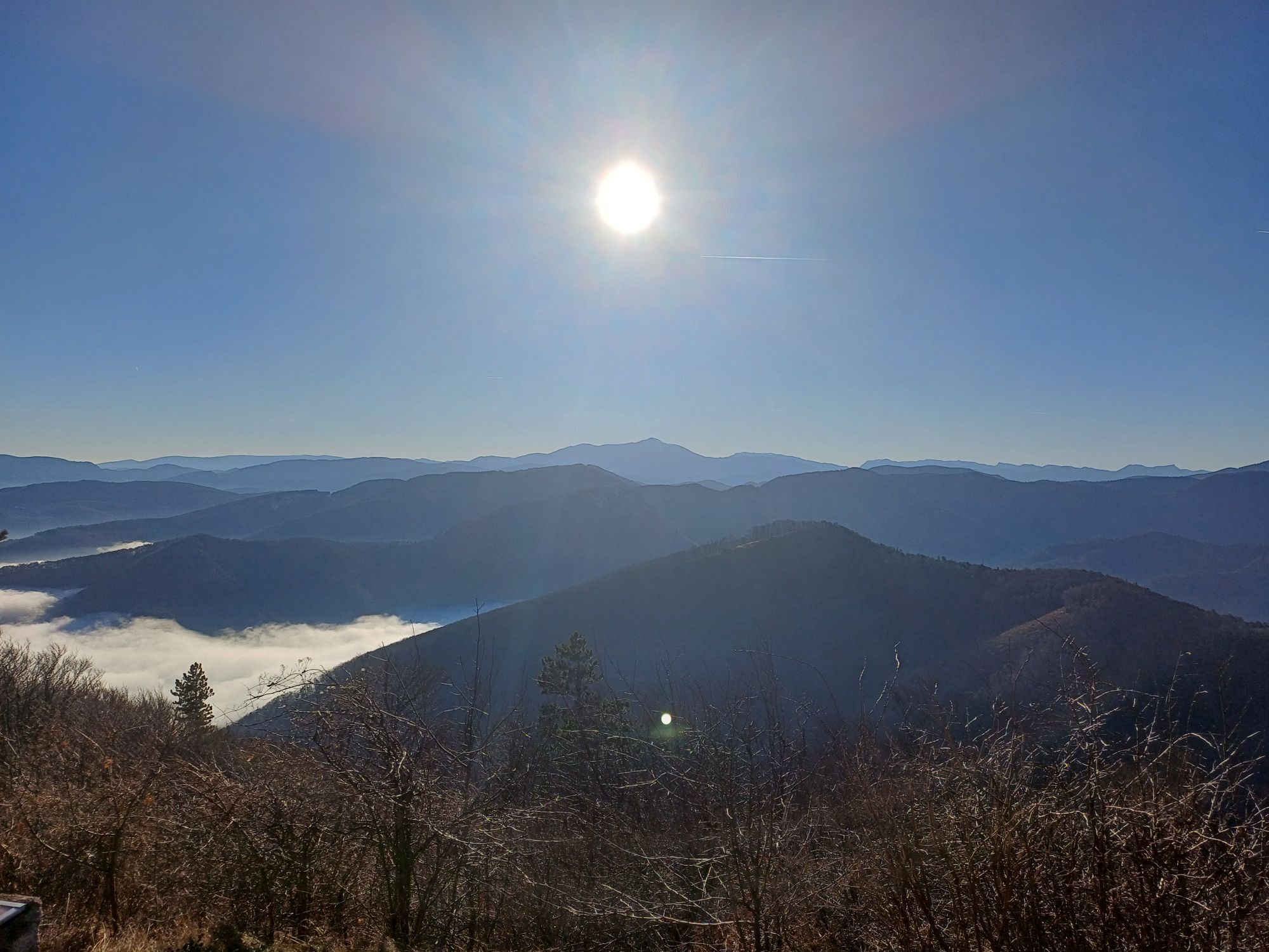
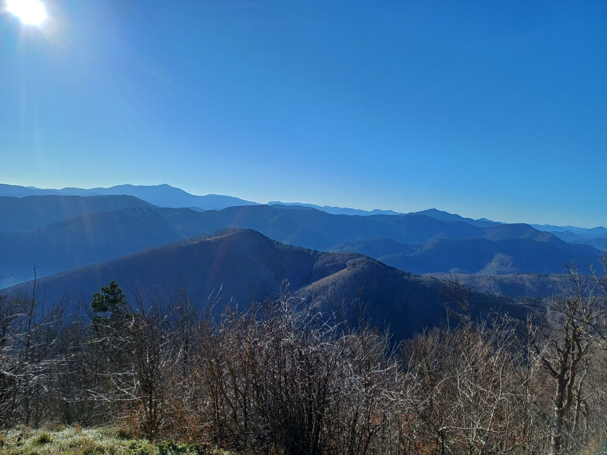
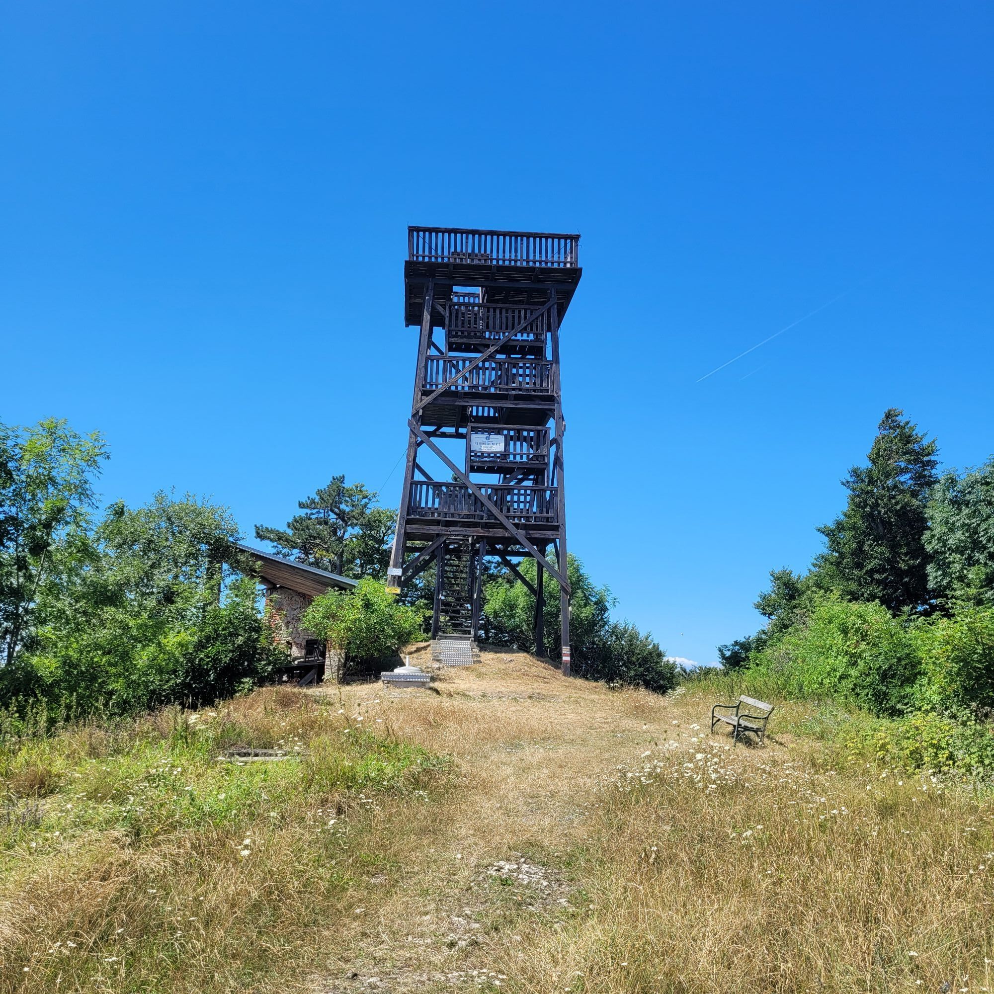
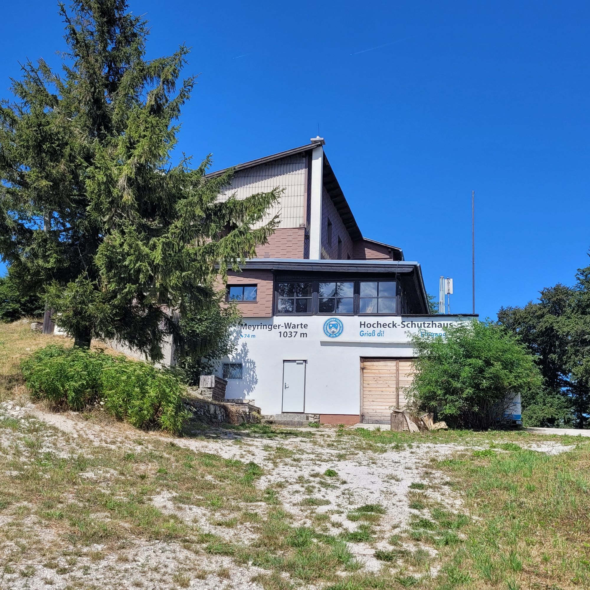
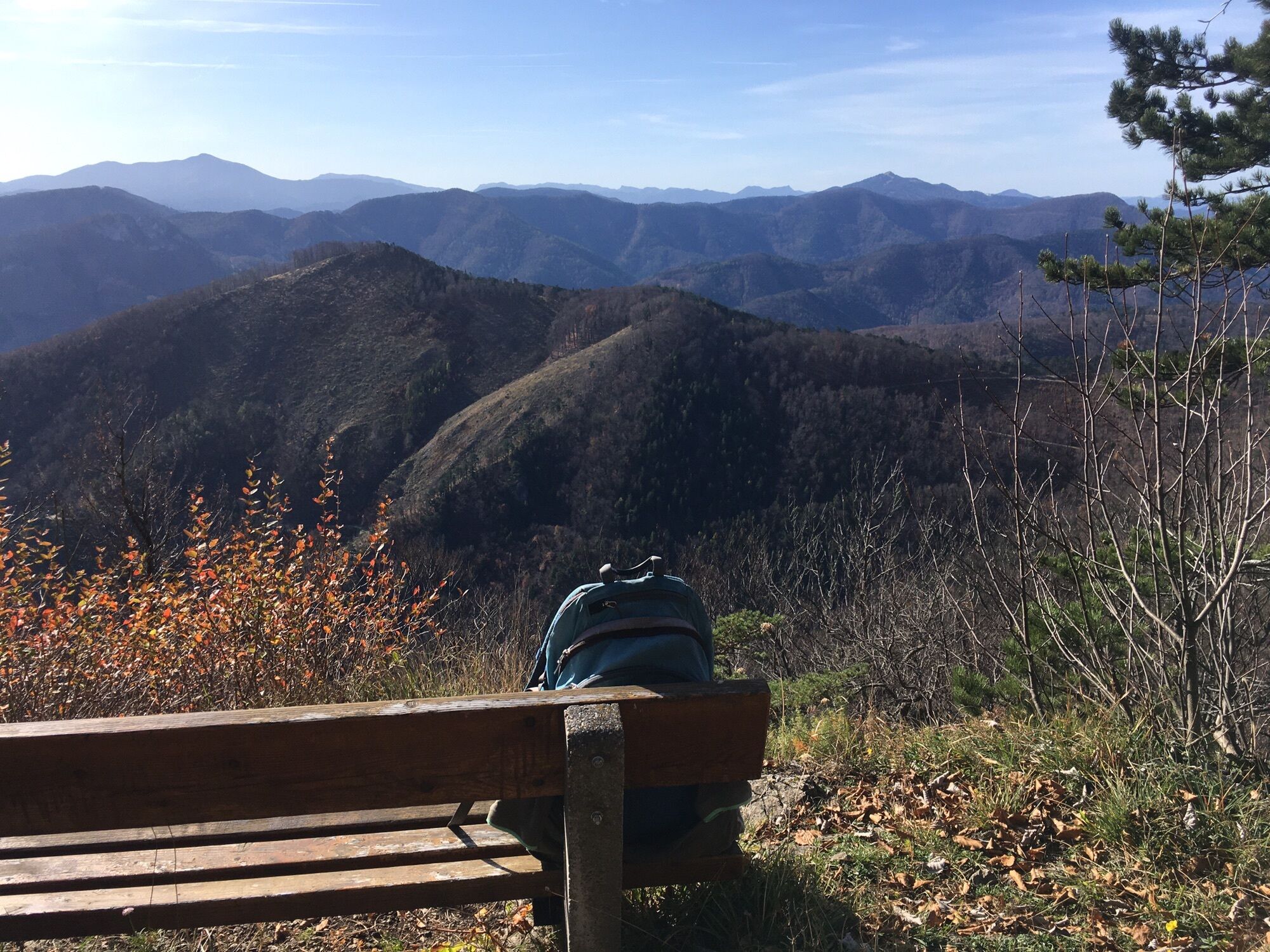
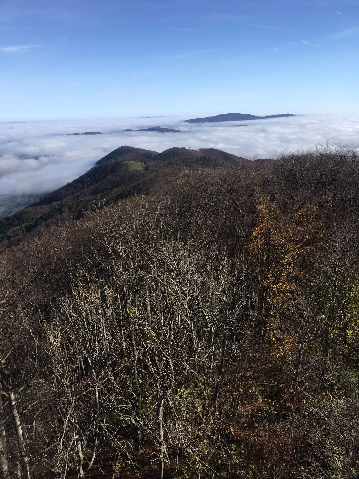
<p>South of the Triesting Valley rise the steep forested slopes of Gemeindeberg, Mittagskogel, and Hocheck. On this hike, these slopes are first approached uphill in the lower section on the Wieshofer Steig, then a forest road and subsequent forest path lead to the saddle between Mittagskogel (862 m) and Hocheck. Ascending further towards Hocheck, you soon enter the scenic eastern ridge of Hocheck. Along meadows and pastures, you already enjoy beautiful views, especially to the south and east.</p><p>After passing through windswept, bizarre beech forests for a while, you climb high to the observation tower at 1,037 m. The F. Meyringer Warte (Austrian Tourist Club, built in 1974) rewards the hiker with a 360° panorama stretching over Schneeberg – Rax – Schneealpe - Ötscher - Schöpfl - Tullner Feld – Peilstein - Wiener Becken all the way to Lake Neusiedl.</p><p>The return route first follows the ascent path back to the saddle, then continues on a nice hiking trail called the "Matrasweg" through woods just south of the Mittagskogel, over the ridge of the Kienberg. This leads to Tasshof, where for the return to Altenmarkt, the asphalted Triesting Valley cycle path No. 42 is chosen. Overall, this creates a beautiful, varied circular hike crowned by a unique panorama.</p>

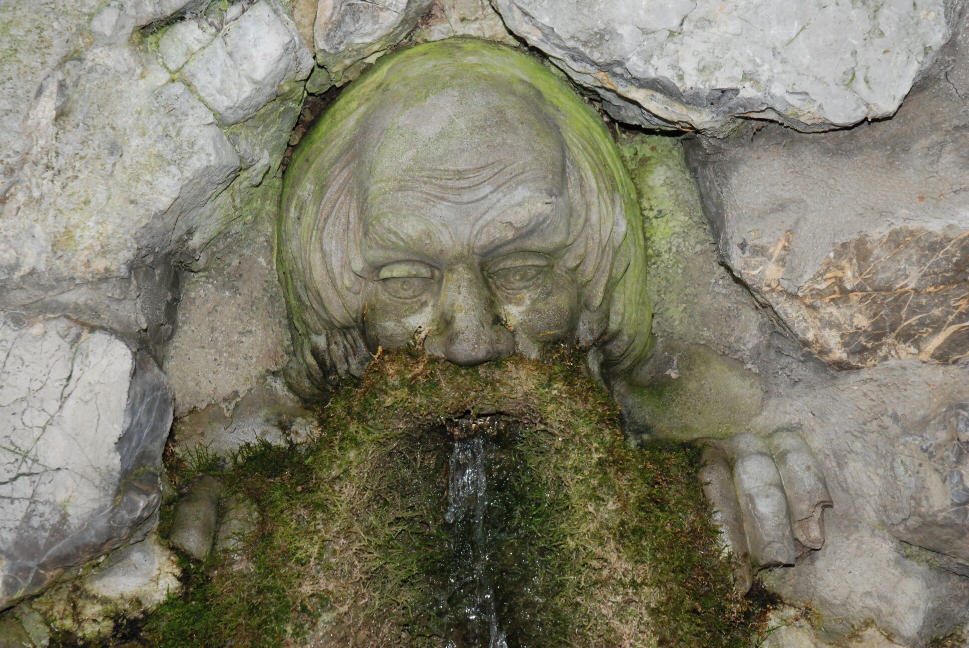
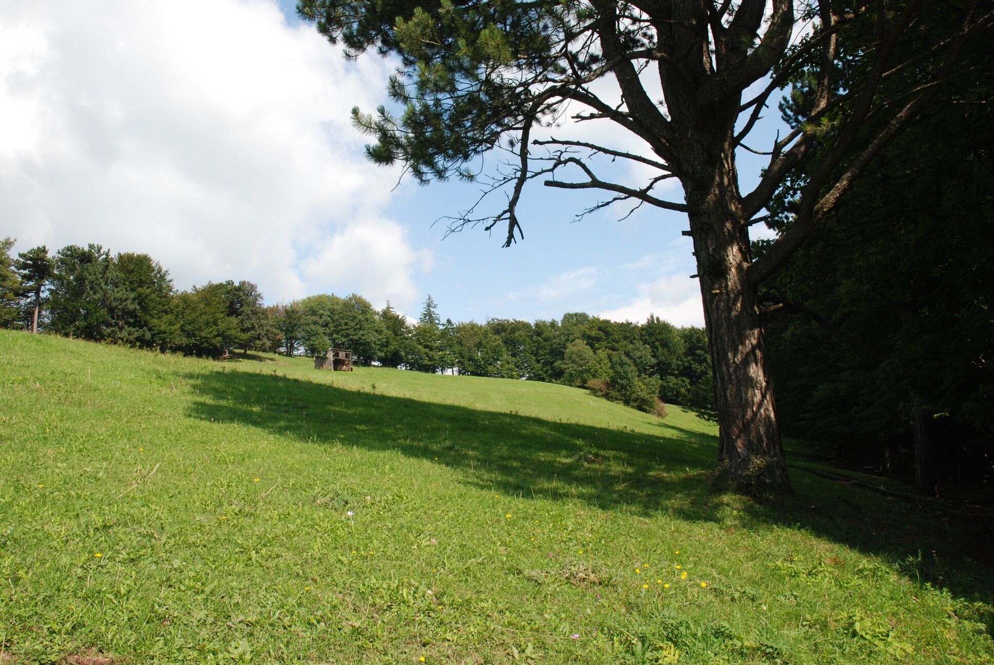


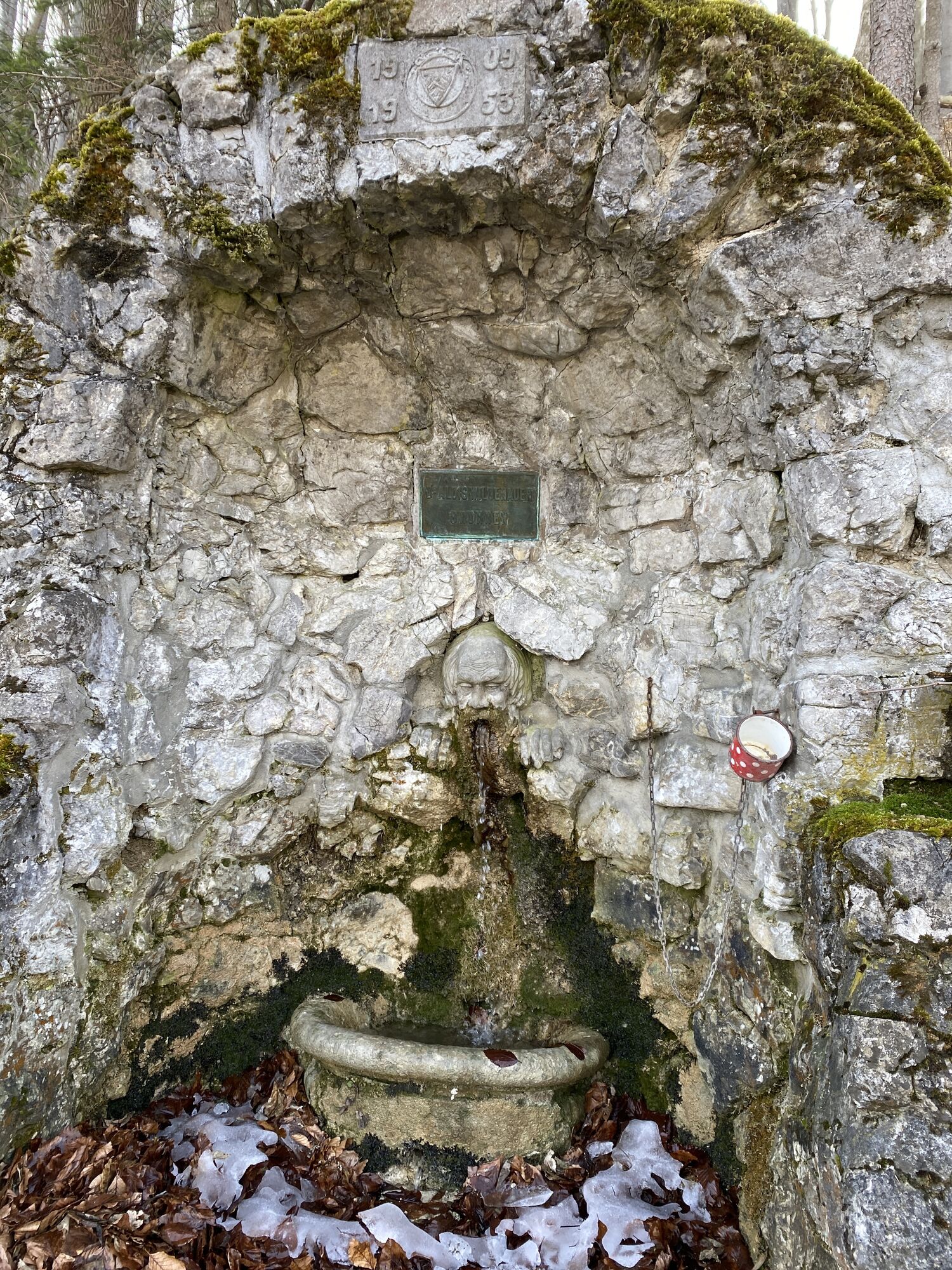
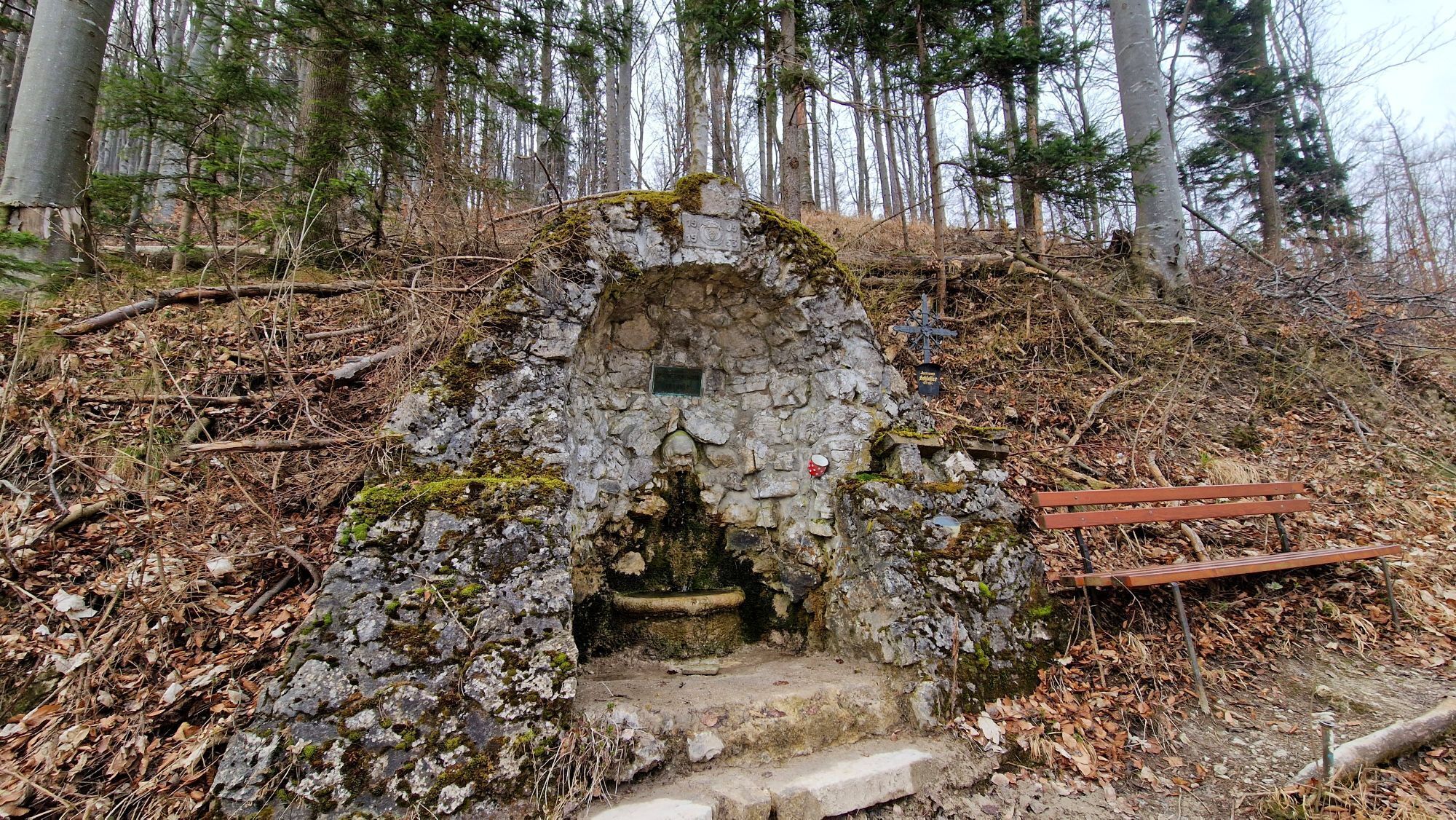
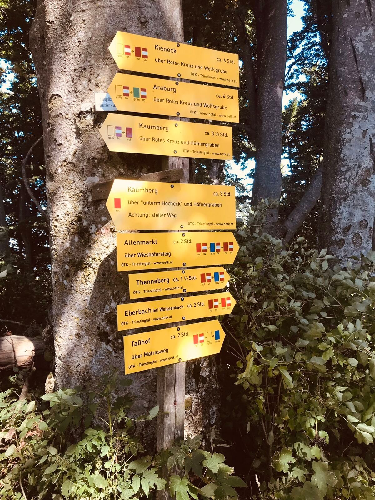
<p>From the car park on the main road, head west (sign: Via Sacra / Kaumberg) and walk through Altenmarkt along the B18, past the "Cafe an der Via Sacra" and Raika. After 250 m, turn left into an alley (sign: Mittagskogel, WWW 404), follow the alley and cross the Triesting on the "Reischerbrücke". On a gravel road, you will then cross the disused Triesting Valley railway and follow the forest road leading left into the woods uphill (arrow).</p><p>Passing a meadow, continue steeper on the forest road until a steep path (marking) branches off straight ahead. This path shortens a bend of the forest road and rejoins it after 100 m. On the forest road, flatter (600 m) turn right until another path branches off again to the right (sign "Hans Wieshofer Steig", 404). This rejoins the forest road after 300 m. Shortly to the right to a hollow with a high seat. Immediately after, do not miss the left-branching path (marking, 404, Hocheck). Follow this partly narrow trail crossing the slope uphill through dense forest to the wooden sign "Hans Wieshofer Steig". Before the sign, take a clearing to the left in the young forest, ascending to reach the next forest road with the "Doppelreiterruhe" (viewpoint, resting bench). From here, follow the forest road to the right! (unobtrusive Hocheck sign), flat across a lumber storage area until a junction is reached. Here, the blue marking and WWW 448 from Thenneberg converge. Now follow the red and blue markings uphill on the forest road to a bend. Follow the path further to the right, passing the "Wildenauer Brunnen" (drinking water and resting bench) 500 m after the bend. Continue on the forest road to a scenic fork. Here sharply turn left following the arrows on the rock, past a barrier, and follow the continuing forest road uphill to reach the saddle between Mittagskogel and Hocheck. Keep right, going uphill on a forest road (red, blue) until you leave the forest at the ridge of Hocheck, and the path leads scenic along the meadow edge towards the summit. A stretch of beech forest still has to be crossed on a stony path before the hut comes into view. The observation tower F. Meyringerwarte (1,037 m) is located a few meters behind the hut.</p><p>Then follow the ascent route back to the saddle between Hocheck and Mittagskogel. Here, choose the path continuing straight ahead (448=descent Weissenbach and yellow marking = Matrasweg). On a beautiful path through the forest, you soon reach a meadow, which is crossed slightly downhill to its lower edge (Large Fir, markings red and yellow). After a section of a flat and slightly undulating path, you reach a junction where the straight-ahead yellow marking (sign Tasshof bus stop) is chosen (red leads down to the right to Eberbach). Always staying on a beautiful path along the ridge, you hike over a small hill to a forest road, which you follow further downhill. At some storm-battered beeches, leave this forest road (yellow marking) to the right onto a forest path that leads shortly and steeply up to the Kienberg. Continue on the path, now partially somewhat steeper downhill, until the path leaves the ridge to the right and descends steeply below an abandoned quarry. Continue flat leftwards following the yellow markings (partly hard to see) downhill (from the right, the blue marking 06A from Eberbach merges) to a cross with a bench. 20 m later, leave the forest road to the right and descend over a meadow on a grassy path (yellow, blue marking on electricity mast).</p><p>At two houses and the bus stop Tasshof, you reach the Triesting Valley cycle path, which you now follow 2 km back to Altenmarkt. Cross the Triesting on a bridge at the outskirts (after the tennis courts) and after 200 m along the B 18, you reach the starting point.</p>
<p>Normal hiking equipment</p>
<p>A2 South Motorway exit Leobersdorf, on the Hainfelder federal road B 18 to Altenmarkt</p>
<p>Car park in the center of Altenmarkt (municipal office)</p>
Wienerwald Tourism
Hauptplatz 11, 3002 Purkersdorf
Tel.: 02231/621 76
E-mail: office@wienerwald.info
Website: www.wienerwald.info
Leader Region Triestingtal
Leobersdorfer Straße 42, 2560 Berndorf
E-mail: office@triestingtal.at
Website: www.triestingtal.at
Be sure to also visit the Kulturbahnhof Altenmarkt-Thenneberg and other beautiful excursion destinations in the Triesting Valley. More information can be found here!
There are the following dining options:
Inn Zum Schwarzen Adler
Infórmate
Siempre en directo con más de 9.500 webcams. bergfex Como usuario Pro, ahora puede ver las webcams correspondientes a muchos tours en la app de tours desde. Esto le permite ver las condiciones actuales directamente.
Actividades a lo largo del recorrido

Rutas populares en los alrededores
-
4,4
Erlebnisweg Peilstein...auf den Spuren der Kletterer
medioSendero temático 6 km -
4,7
Schöpfl
luzSenderismo 9,52 km -
4,6
Angelos Touren: vom Helenental auf den Hohen Lindkogel
medioSenderismo 11,4 km -
4,6
Kieneck über den Enziansteig
luzSenderismo 12,6 km -
4,6
Panorama hike Hafnerberg
luzSenderismo 8,78 km -
4,6
Wienerwald: Maria Raisenmarkt - Peilstein
luzSenderismo de invierno 6,82 km -
4,6
Kieneck über Enziansteig & Mareschsteig
luzSenderismo 13,8 km -
4,5
AUGUSTINERHÜTTE Parkplatz bei B210 Hoher Lindkogel, Langes Tal 20221030
medioSenderismo 8,02 km -
4,7
Ruta circular Steinwandklamm
medioSenderismo 11,3 km -
4,4
Baden Helenental Krainerhütte Cholerakapelle RDW
medioSenderismo 10,1 km

Senderismo y rastreo


No se pierda las ofertas y la inspiración para sus próximas vacaciones
Su dirección de correo electrónico se ha añadido a la lista de correo.





