


On the move in the Viennese Alpenbogen
Fotos de nuestros usuarios
-
 © webrchCreado el 06.06.2025
 -
 © firebird 93Creado el 26.06.2023
 -
 © firebird 93Creado el 26.06.2023
 -
 © Wolfgang Harrer 1Creado el 29.05.2023
 -
 © Herbert EckelhartCreado el 30.04.2023
 -
 © Herbert EckelhartCreado el 30.04.2023
 -
 © Jakob KCreado el 29.01.2023
 -
 © Clemens PoteCreado el 30.10.2022
 -
 © S.KCreado el 23.10.2022
 -
 © Peter ZeuchCreado el 23.10.2022
 -
 © Daniel KrawczykCreado el 09.10.2022
 -
 © Markus LoosCreado el 08.10.2022
 -

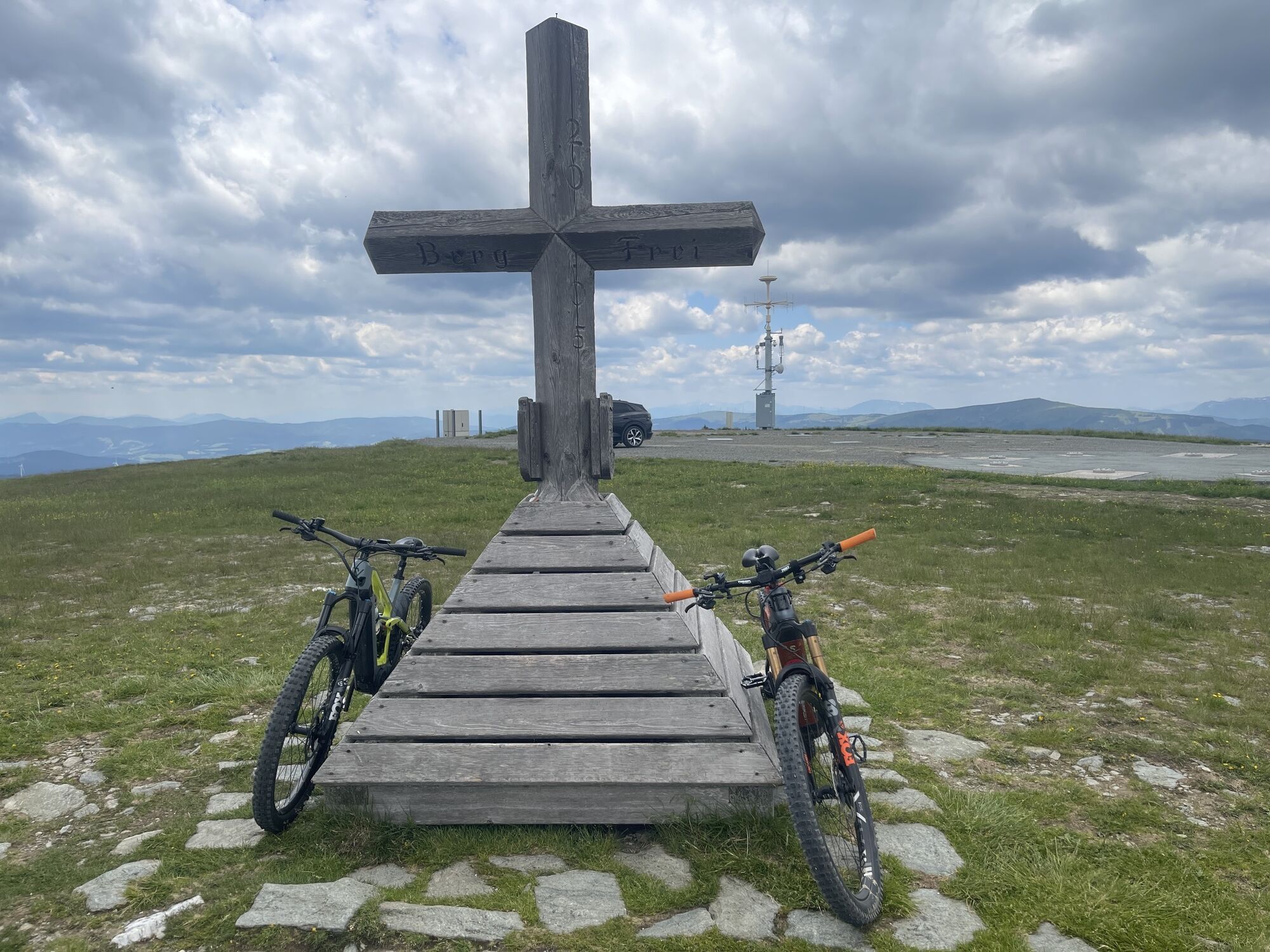
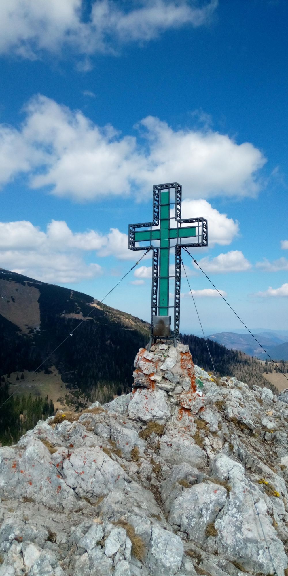
 © BergpiratCreado el 25.04.2026
 -
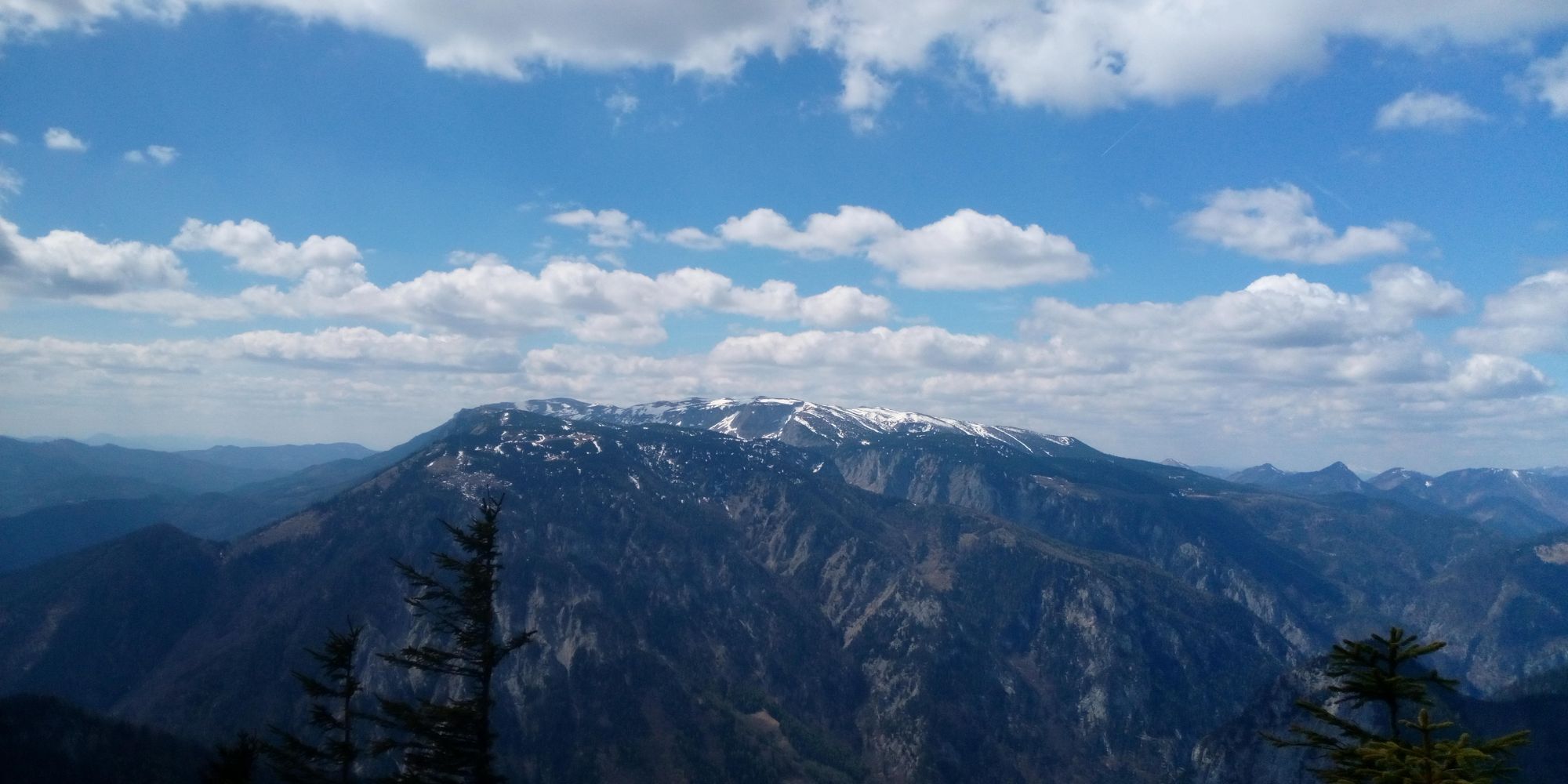
 © BergpiratCreado el 25.04.2026
 -
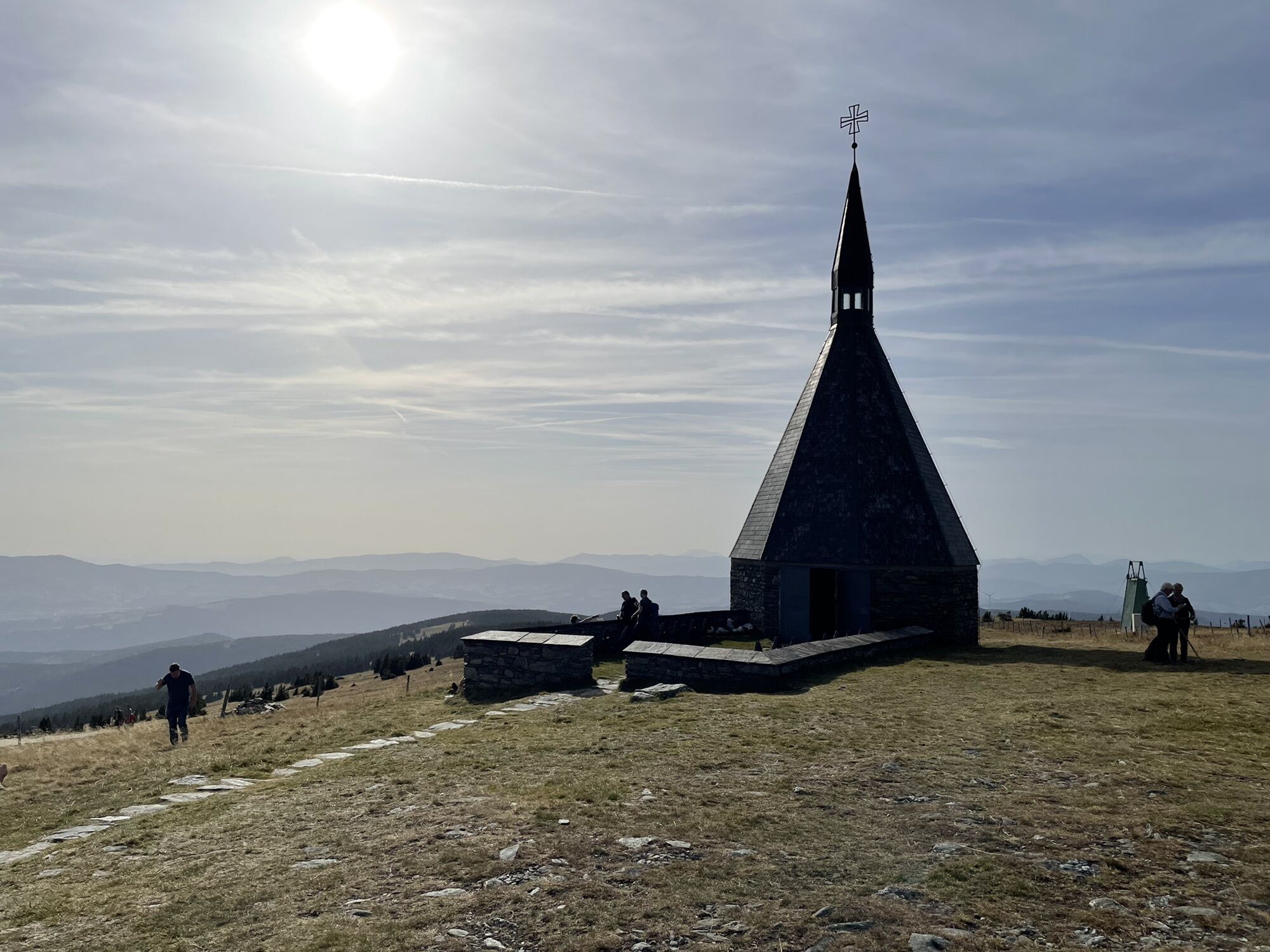
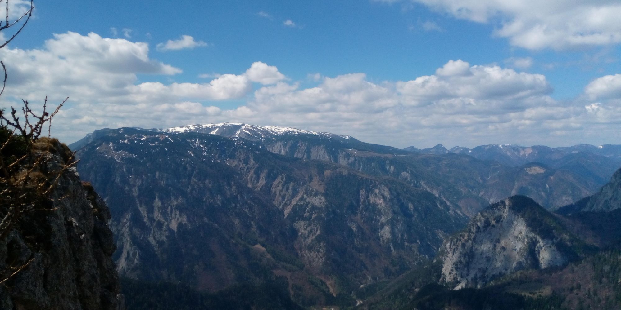
 © Samuel GrollerCreado el 25.04.2026
 -
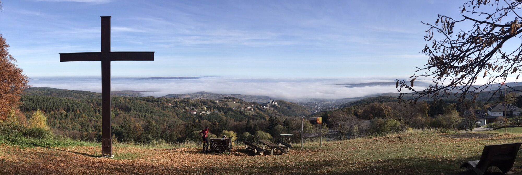
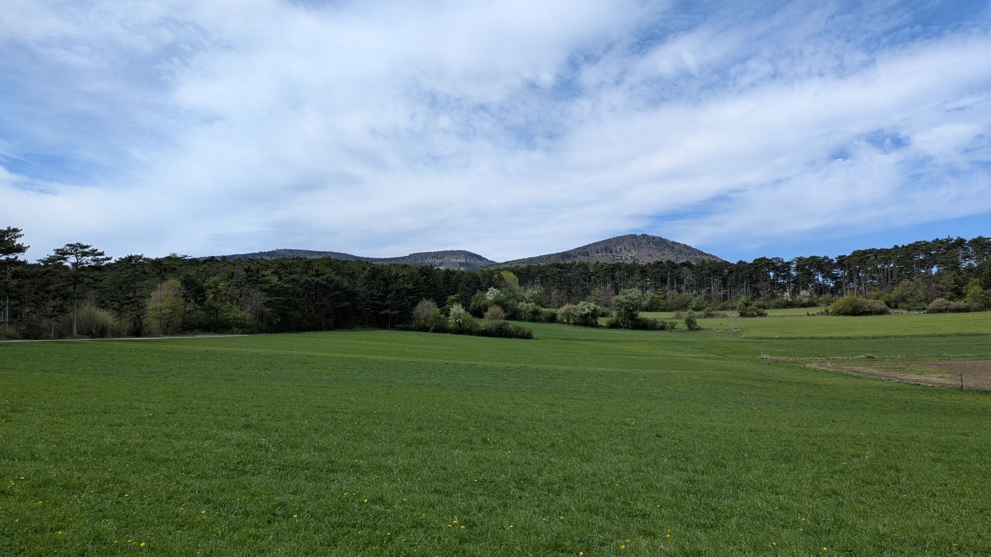
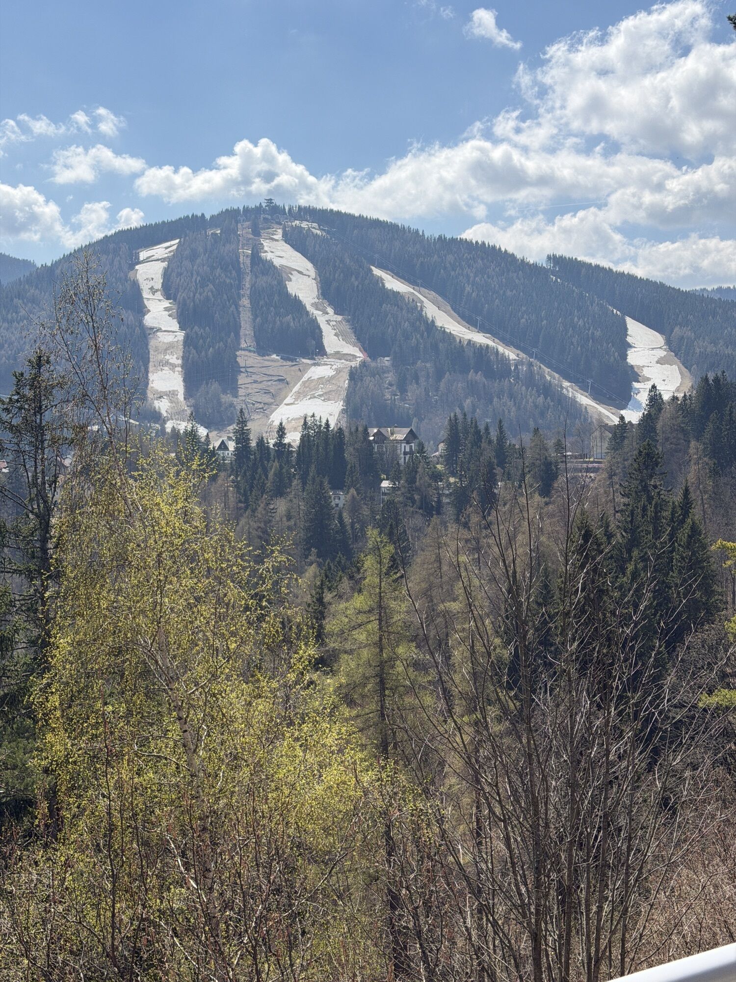
 © EderoCreado el 23.04.2026
 -

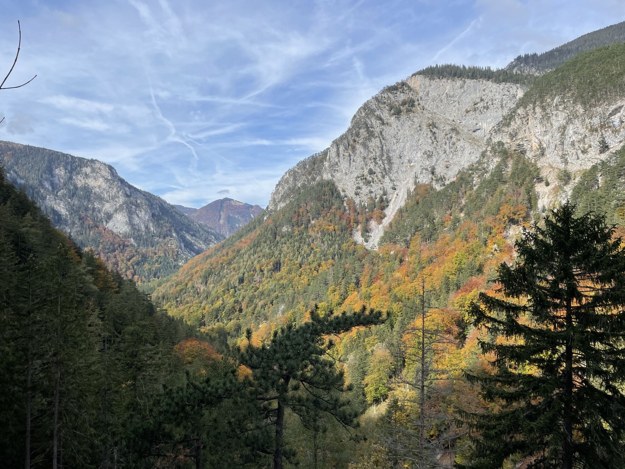
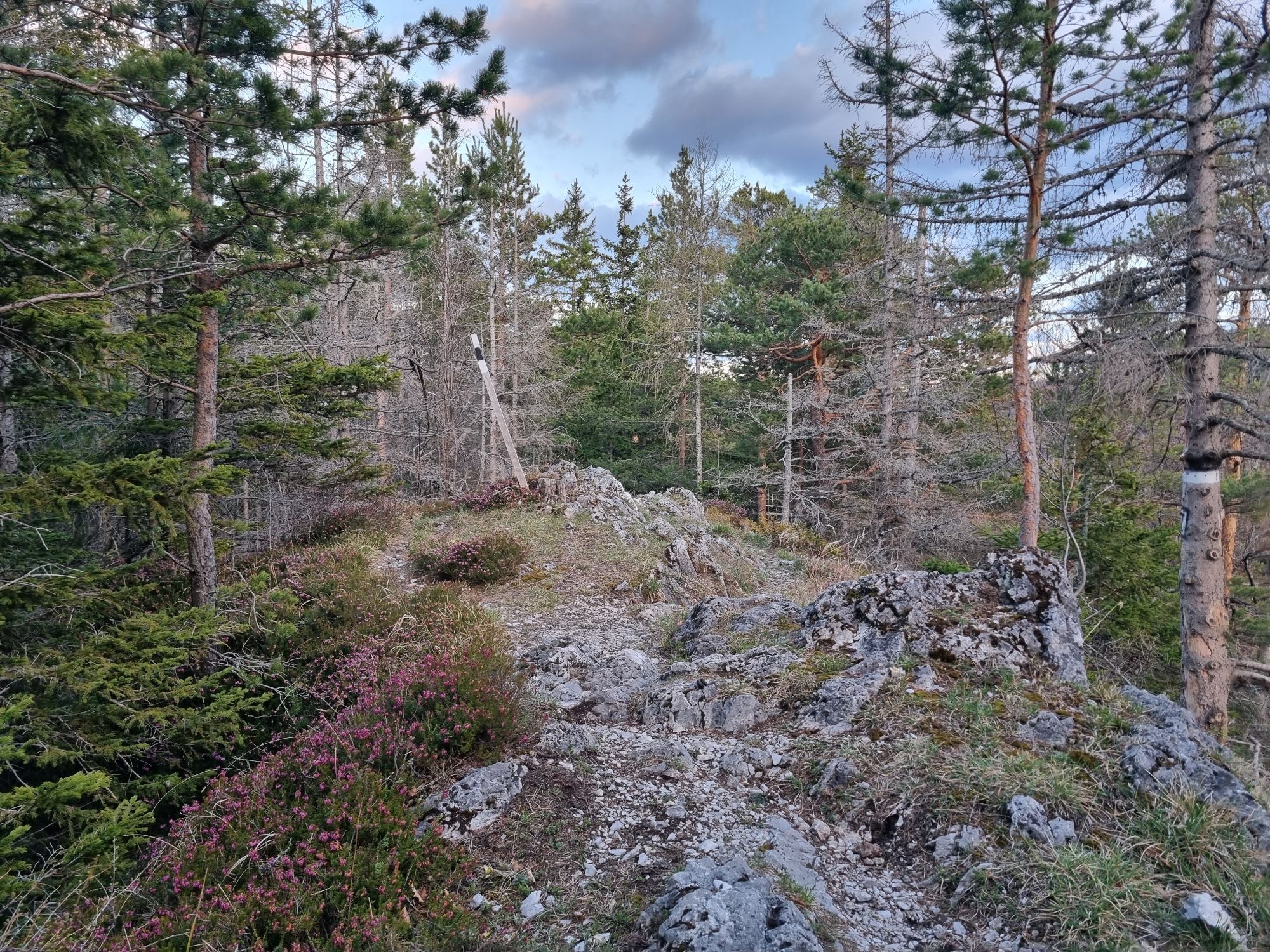
 © Christina FröhlichCreado el 22.04.2026
 -
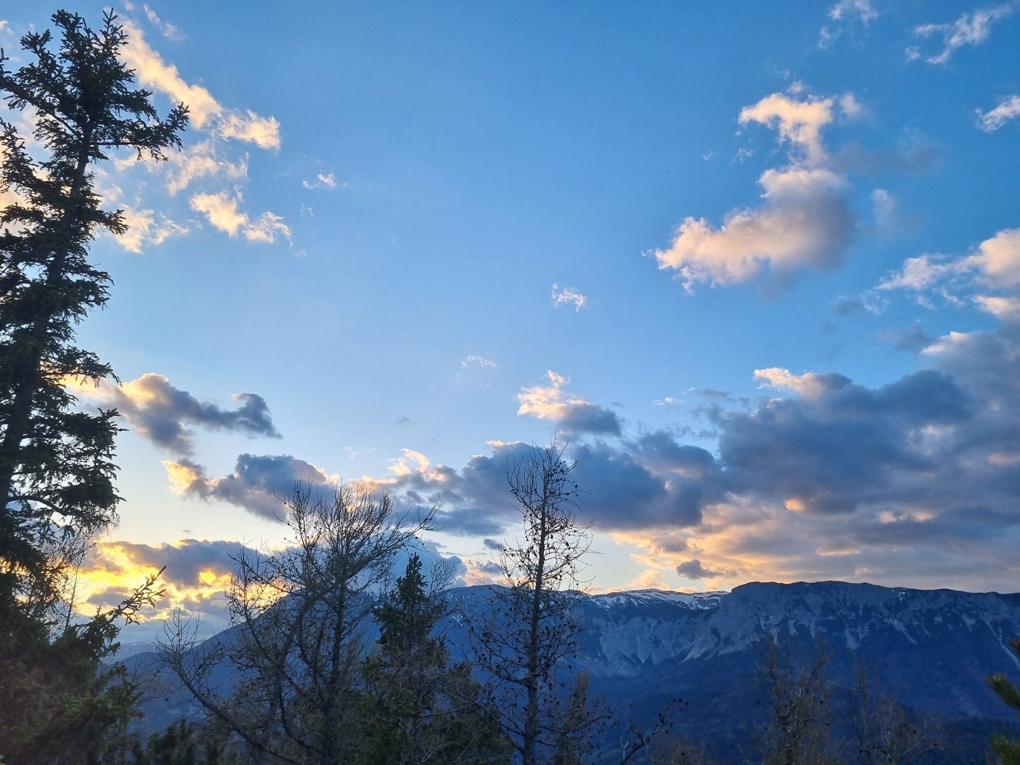
 © Christina FröhlichCreado el 22.04.2026
 -
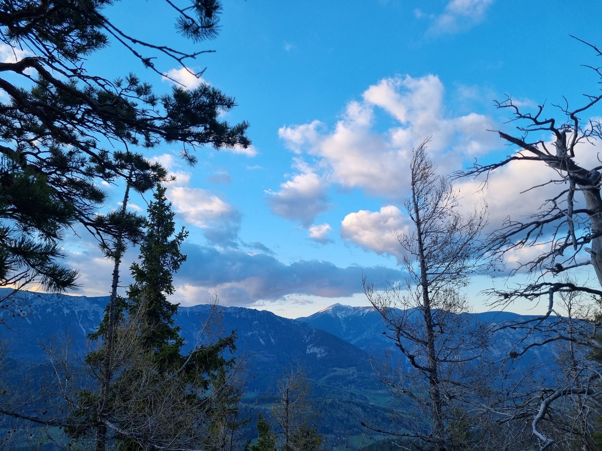
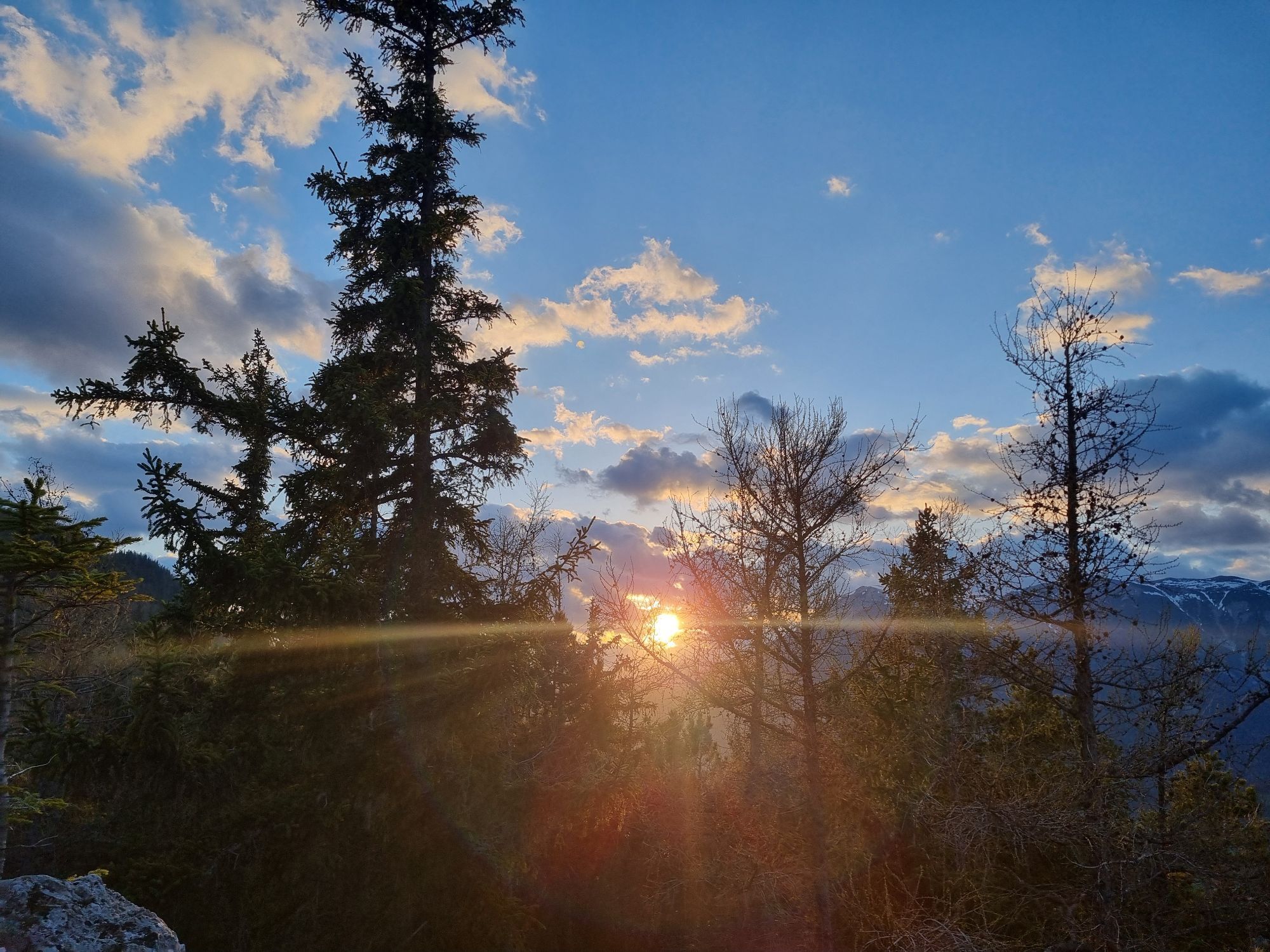
 © Christina FröhlichCreado el 22.04.2026
 -
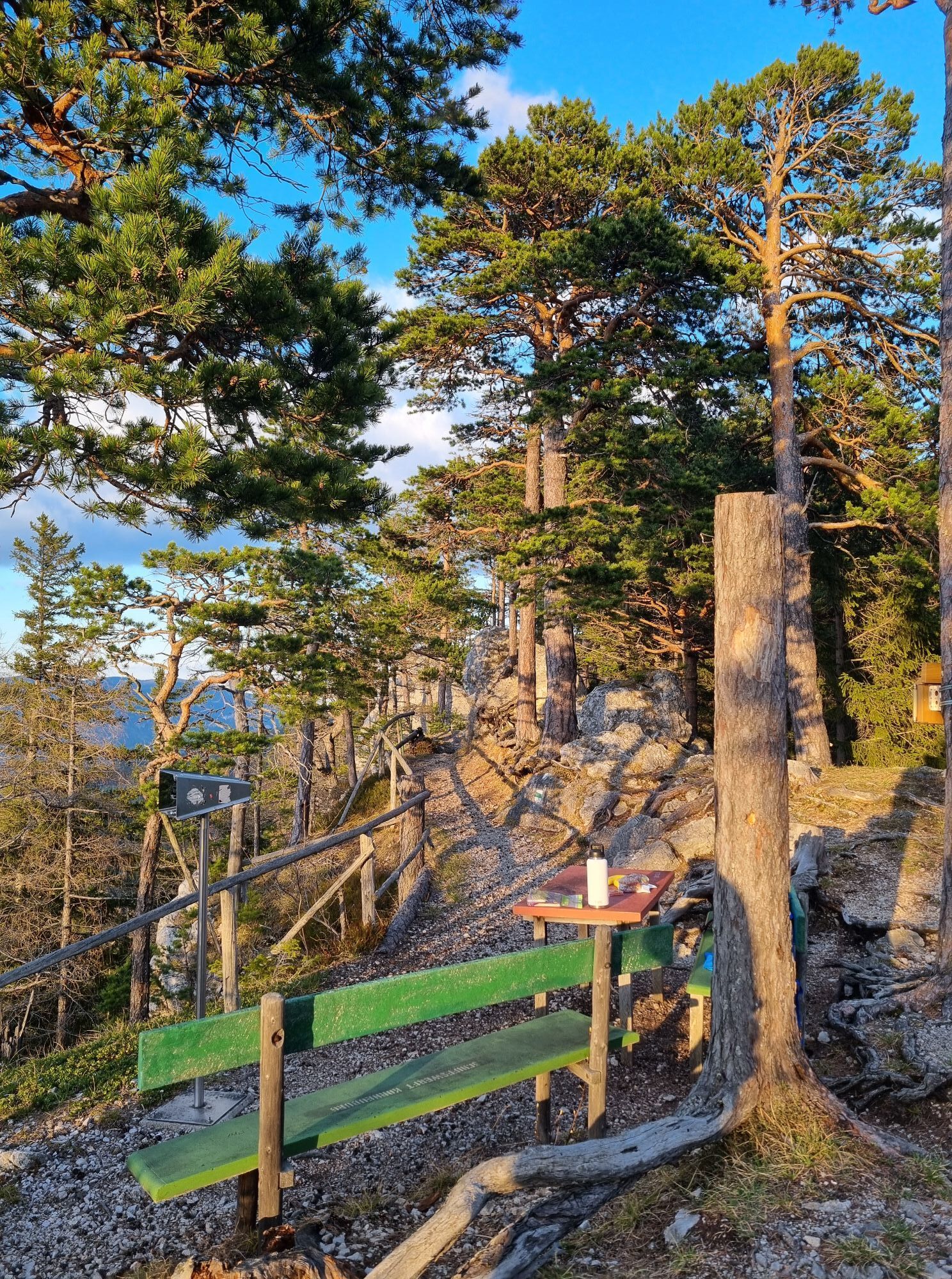
 © Christina FröhlichCreado el 22.04.2026
 -
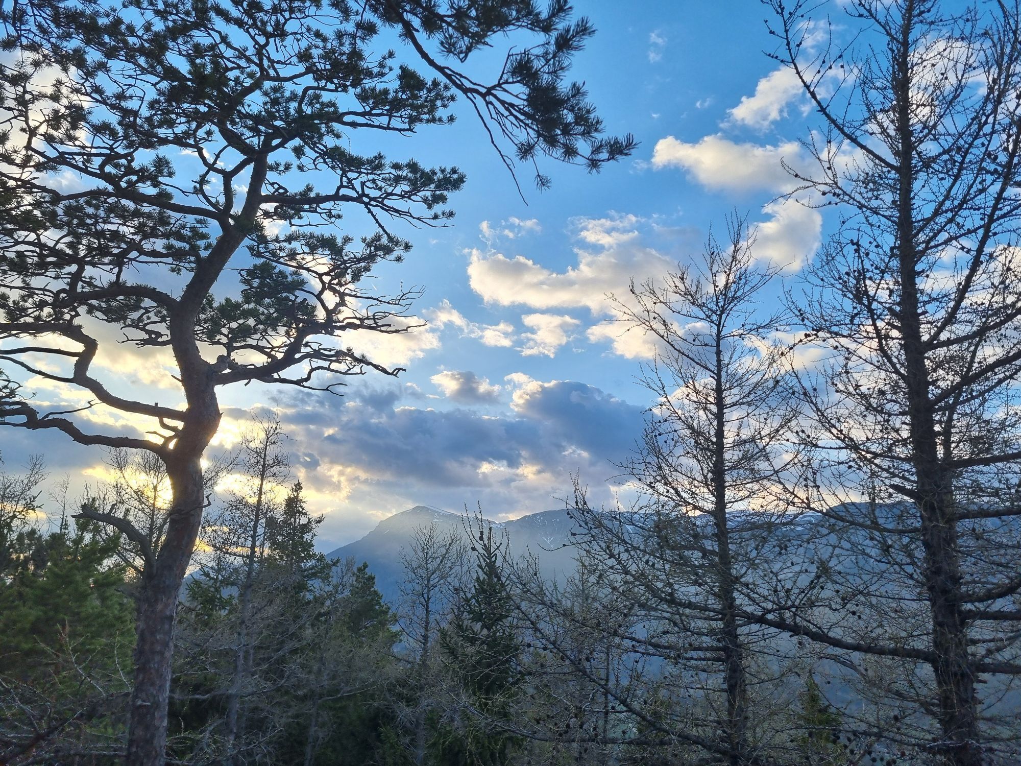
 © Christina FröhlichCreado el 22.04.2026
 -
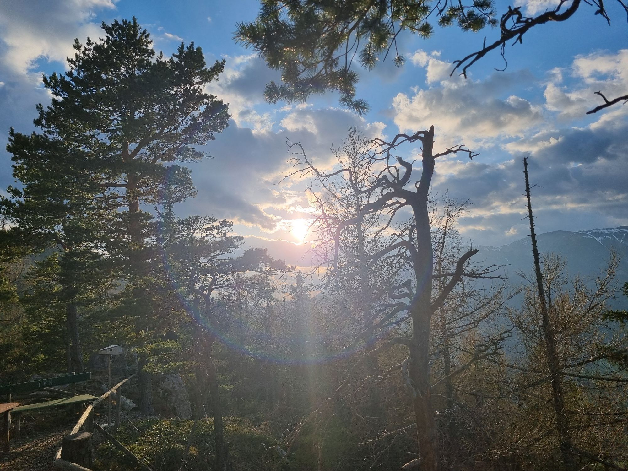
 © Christina FröhlichCreado el 22.04.2026
 -
 © Christina FröhlichCreado el 22.04.2026
 -
 © Christina FröhlichCreado el 22.04.2026
 -
 © Christina FröhlichCreado el 22.04.2026
 -
 © Christina FröhlichCreado el 22.04.2026
 -
 © Christina FröhlichCreado el 22.04.2026
 -
 © Christina FröhlichCreado el 22.04.2026
 -
 © Christina FröhlichCreado el 22.04.2026
 -
 © Christina FröhlichCreado el 22.04.2026
 -

 © Maria LattacherCreado el 20.04.2026
 -
 © Maria LattacherCreado el 20.04.2026
 -
 © Maria LattacherCreado el 20.04.2026
 -
 © Maria LattacherCreado el 20.04.2026
 -
 © Maria LattacherCreado el 20.04.2026
 -
 © Maria LattacherCreado el 20.04.2026
 -

 © EureliaCreado el 18.04.2026
 -
 © Roland MeitzCreado el 18.04.2026
 -
 © Marcin 1Creado el 18.04.2026
 -
 © Marcin 1Creado el 18.04.2026
 -
 © Marcin 1Creado el 18.04.2026
 -
 © Marcin 1Creado el 18.04.2026
 -
 © Marcin 1Creado el 18.04.2026
 -
 © Marcin 1Creado el 18.04.2026
 -
 © Marcin 1Creado el 18.04.2026
 -
 © László Soós 2Creado el 18.04.2026
 -
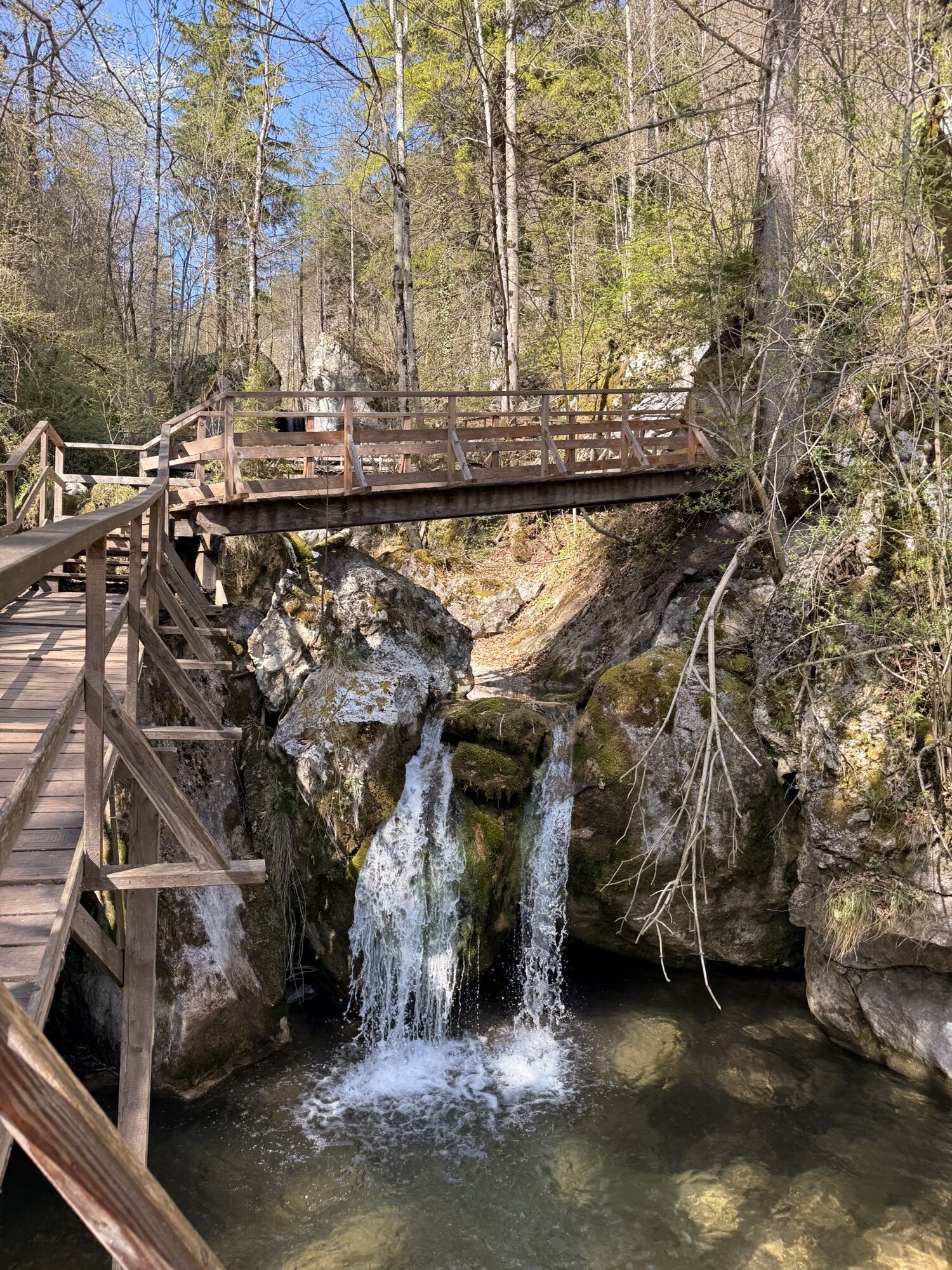
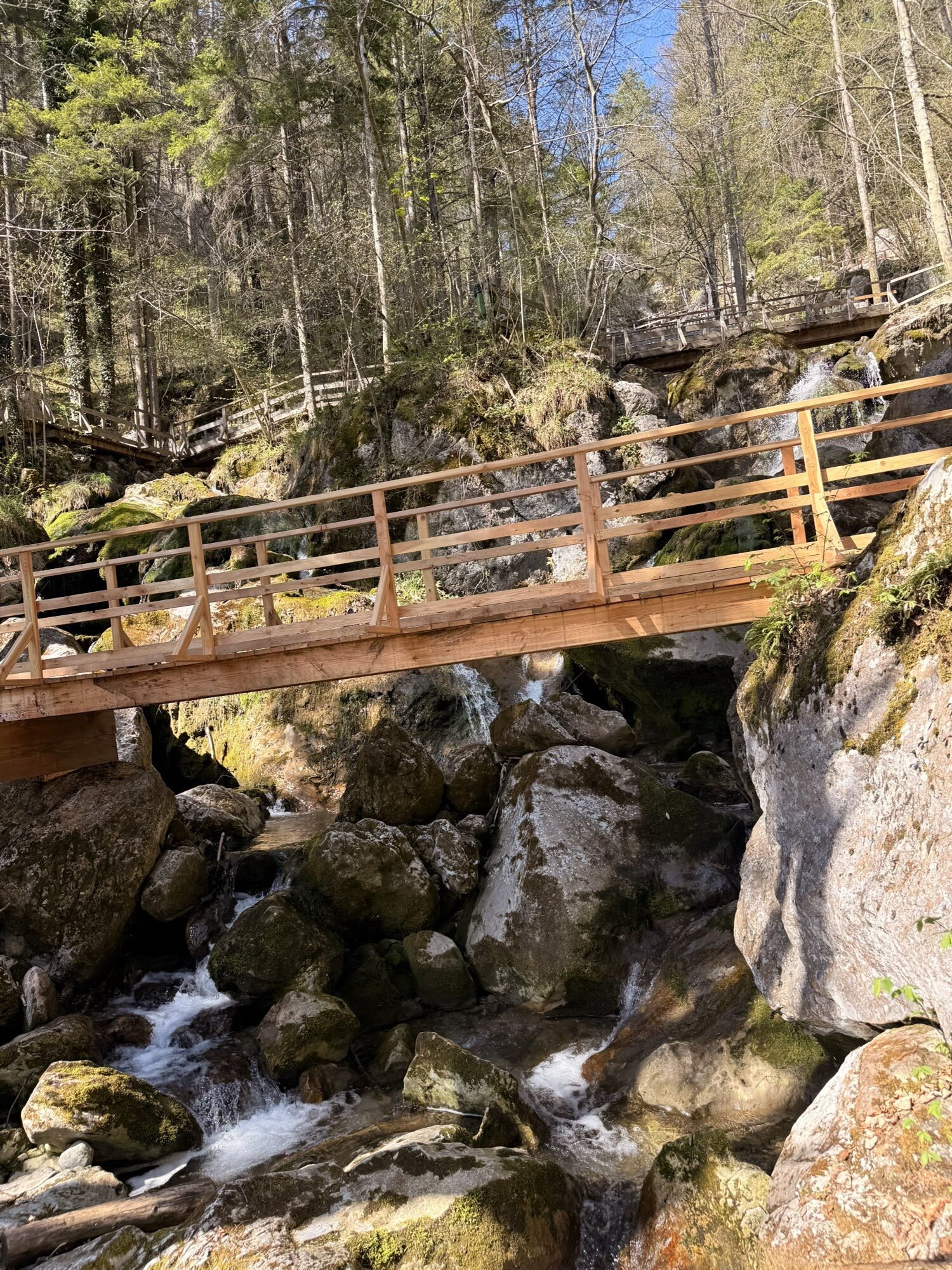
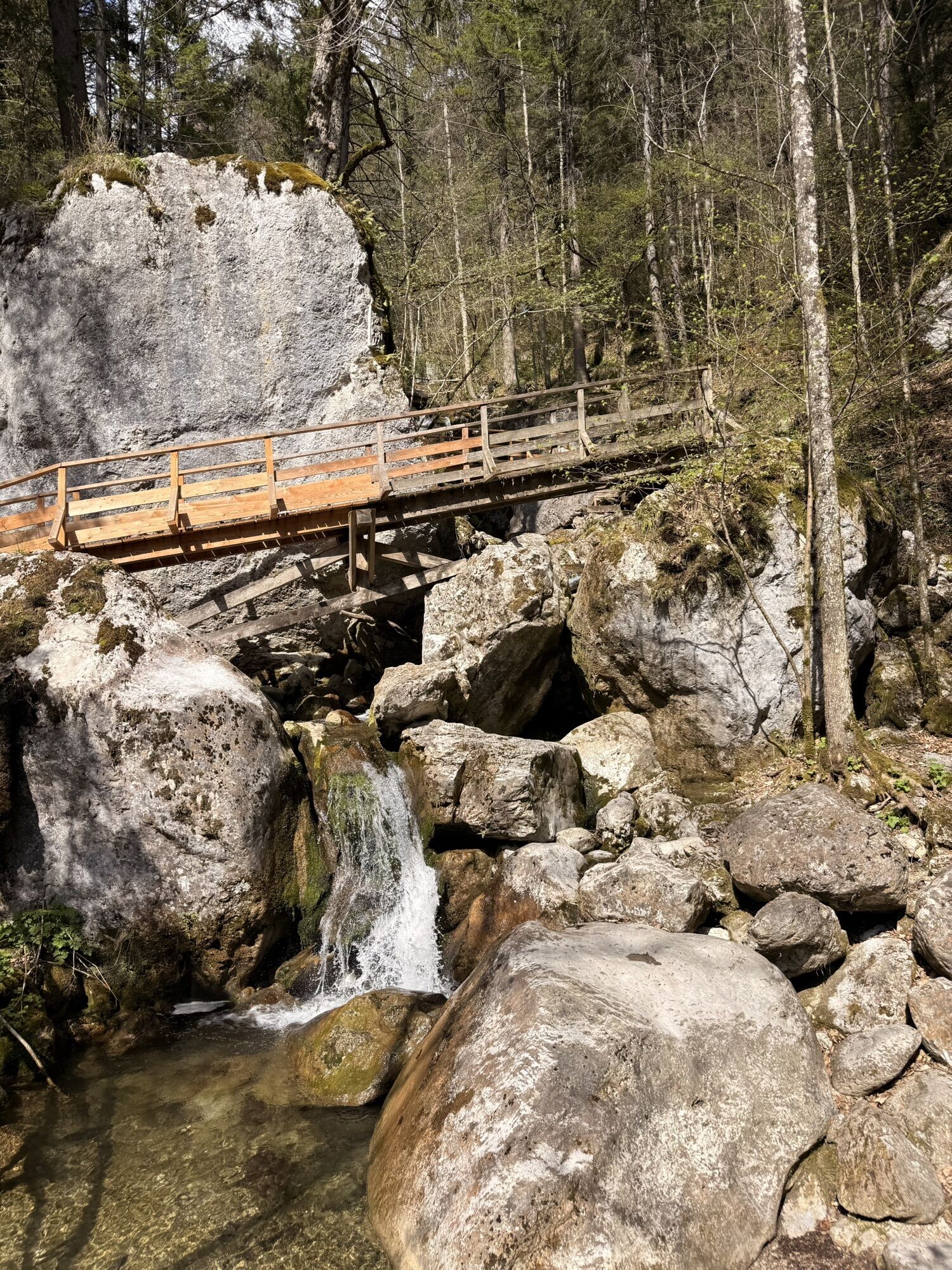
 © 3d63 ru^^n3rCreado el 18.04.2026
 -
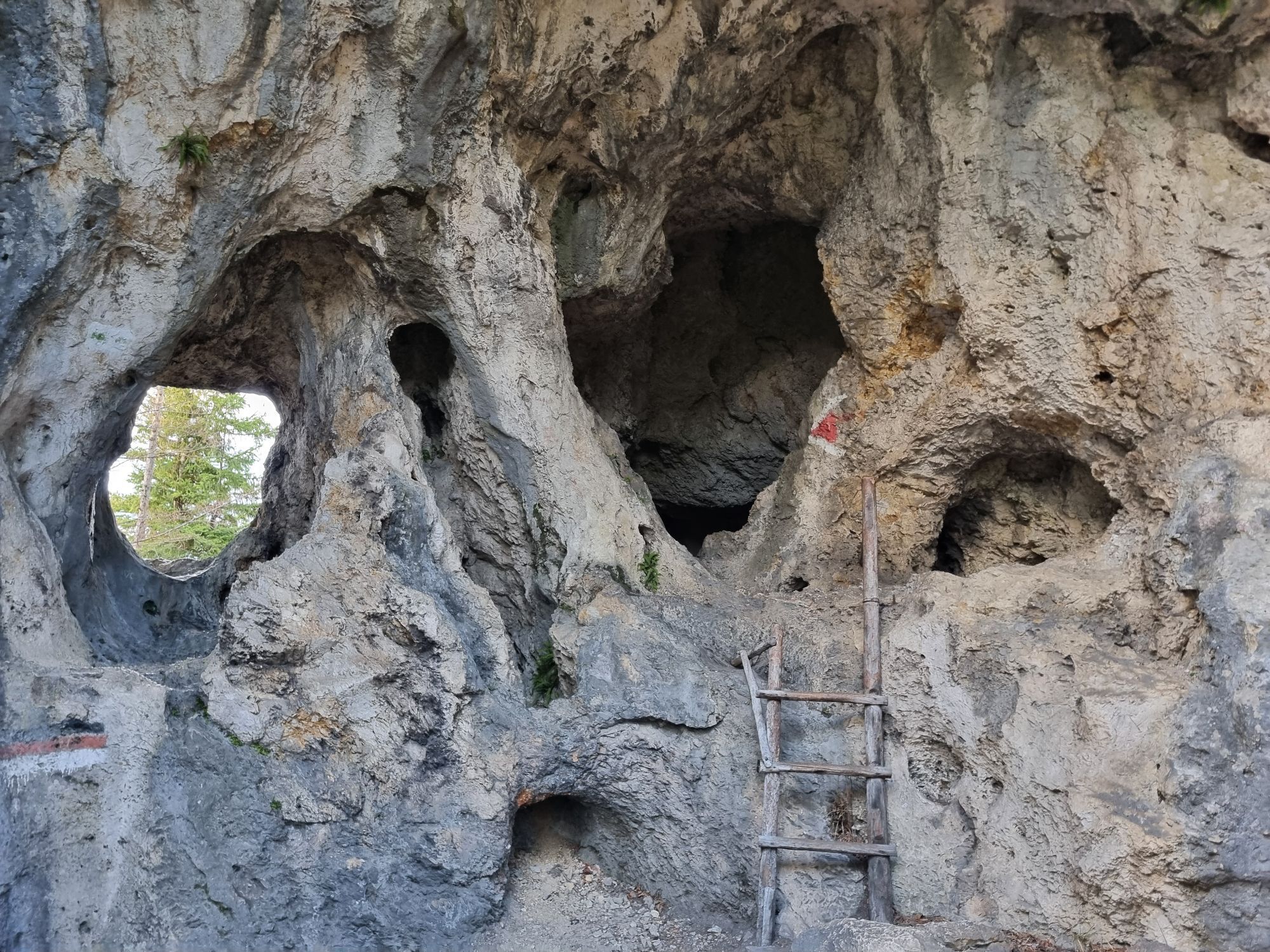
 © 3d63 ru^^n3rCreado el 18.04.2026


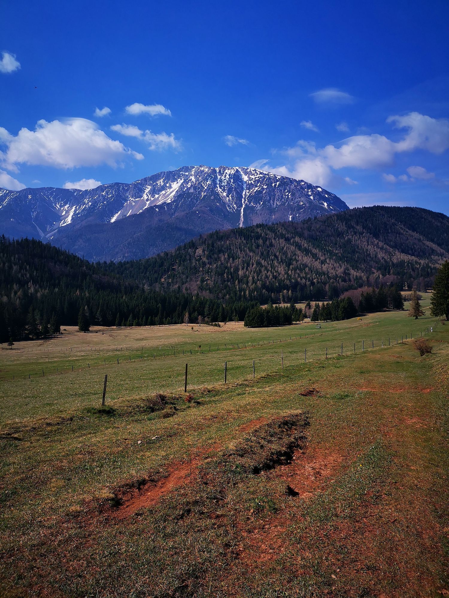
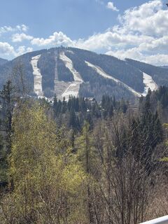
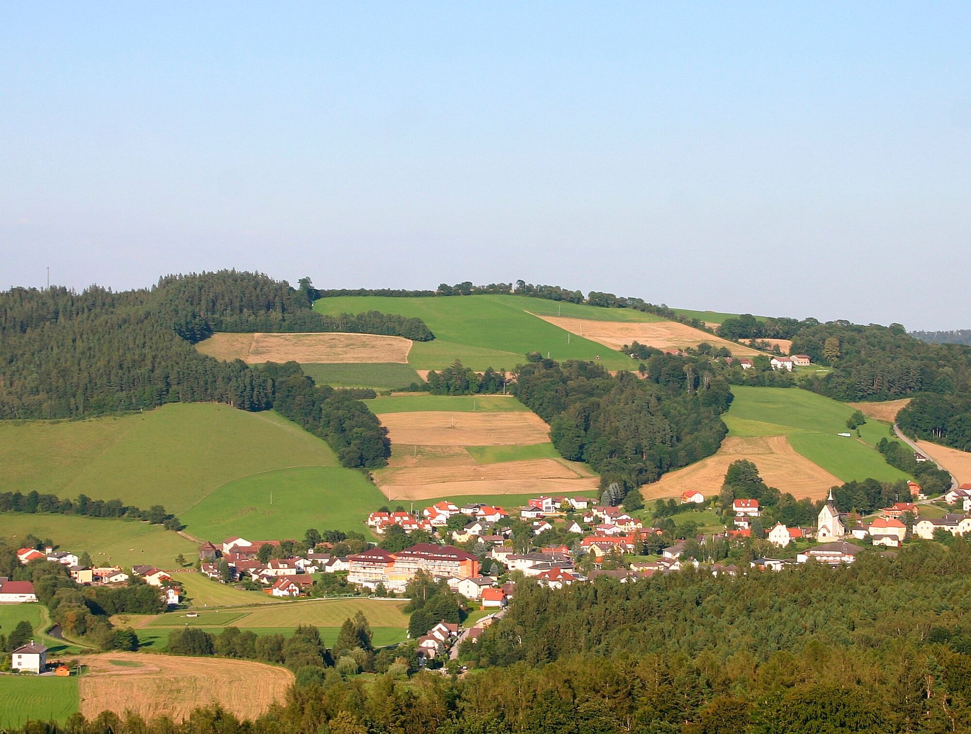
At a good 300km, the long-distance trail leads along the Viennese Alpenbogen, through southern Lower Austria. Even the first few kilometres along the Rosaliengebirge will give you a preview of the hiking...
At a good 300km, the long-distance trail leads along the Viennese Alpenbogen, through southern Lower Austria. Even the first few kilometres along the Rosaliengebirge will give you a preview of the hiking experience which is to come.
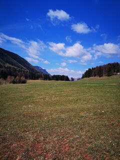
You will soon see the great Alpenbogen fold out in front of you like a panoramic image. From Bucklige Welt, the route leads into Schwaigenland, a pasture area along the Wechsel, and further east to the enchanting landscape of the “Semmering Railway and surrounding landscape”, which is a UNESCO World Heritage Site.
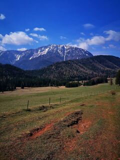
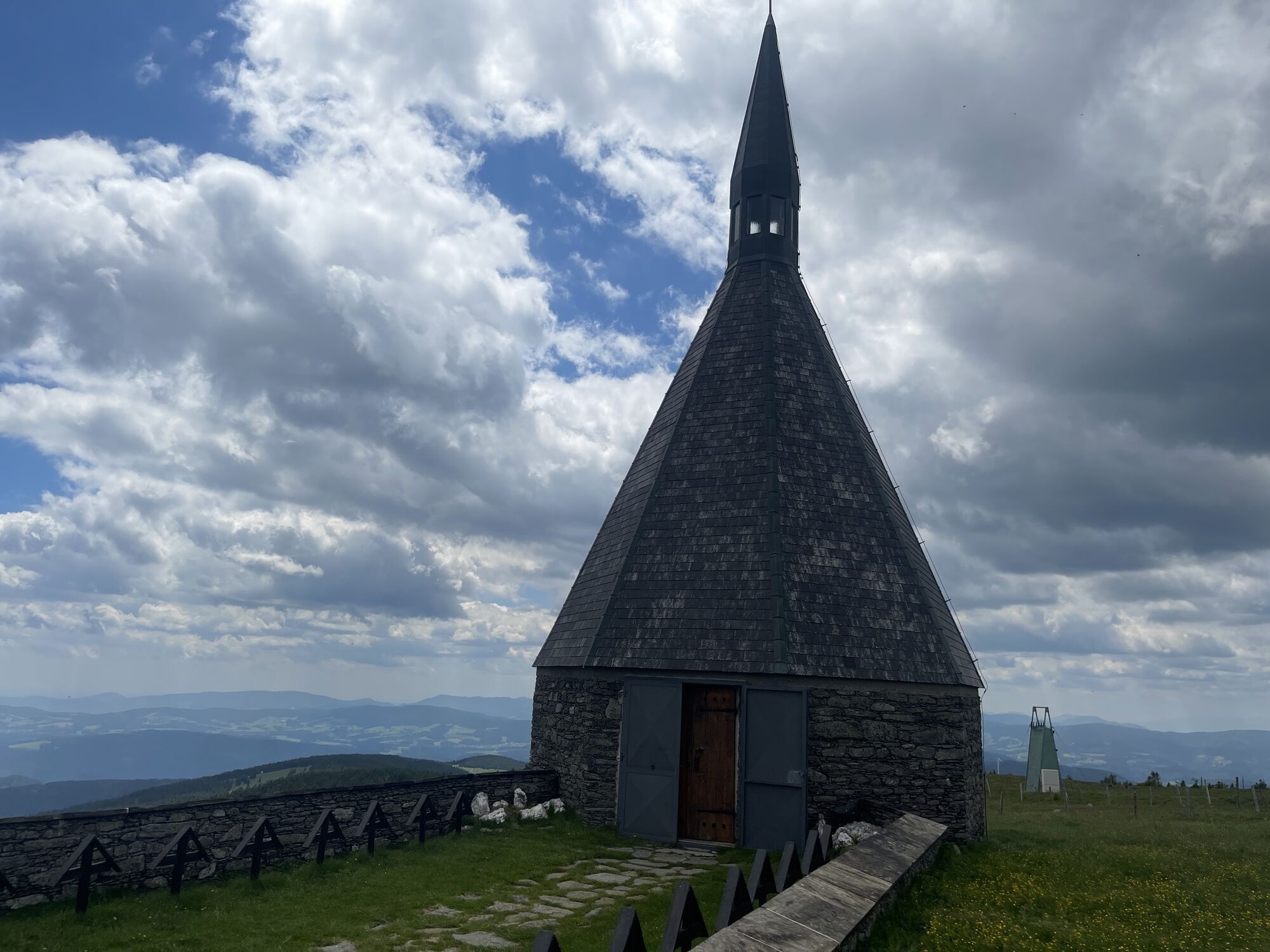
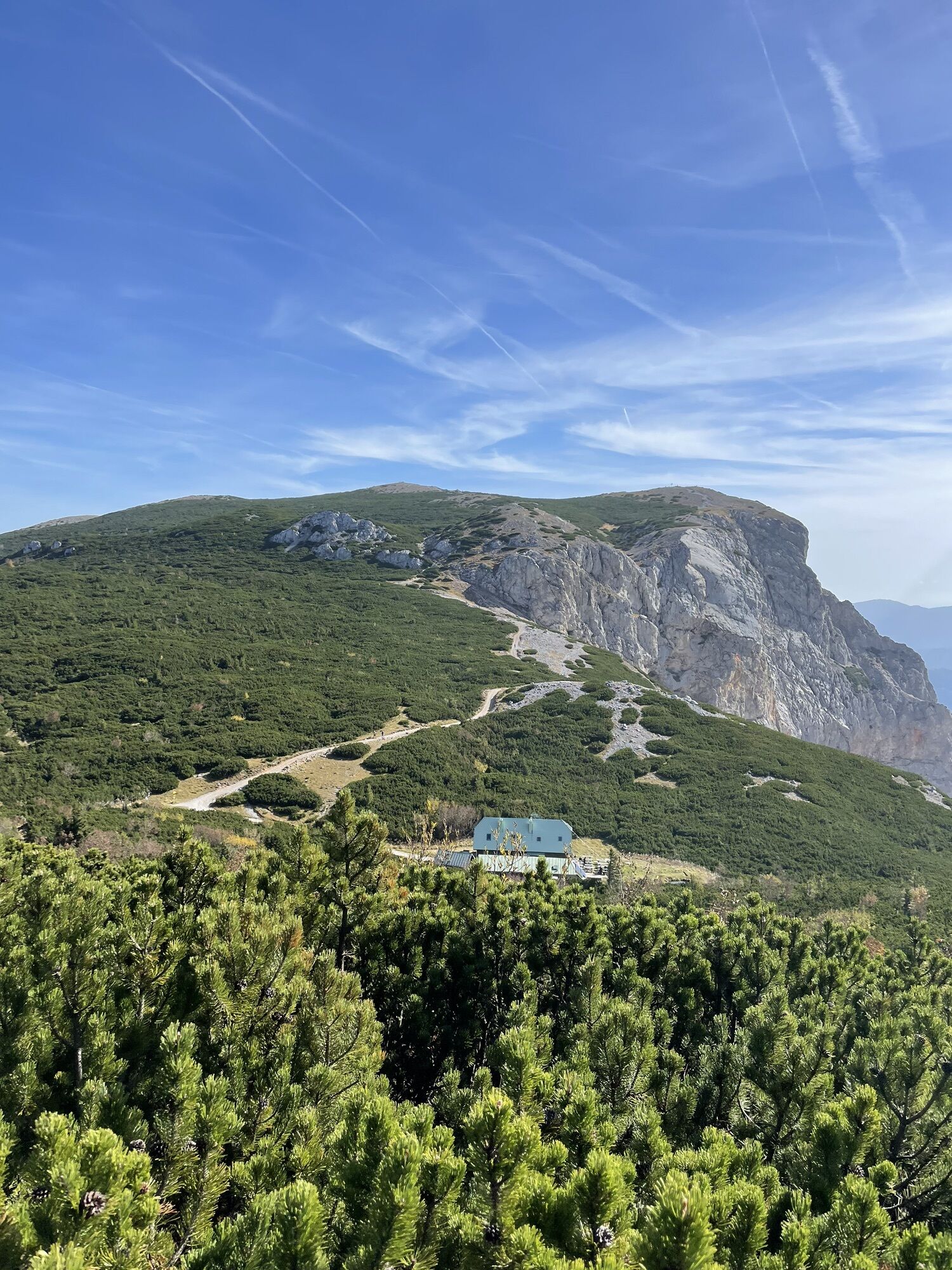
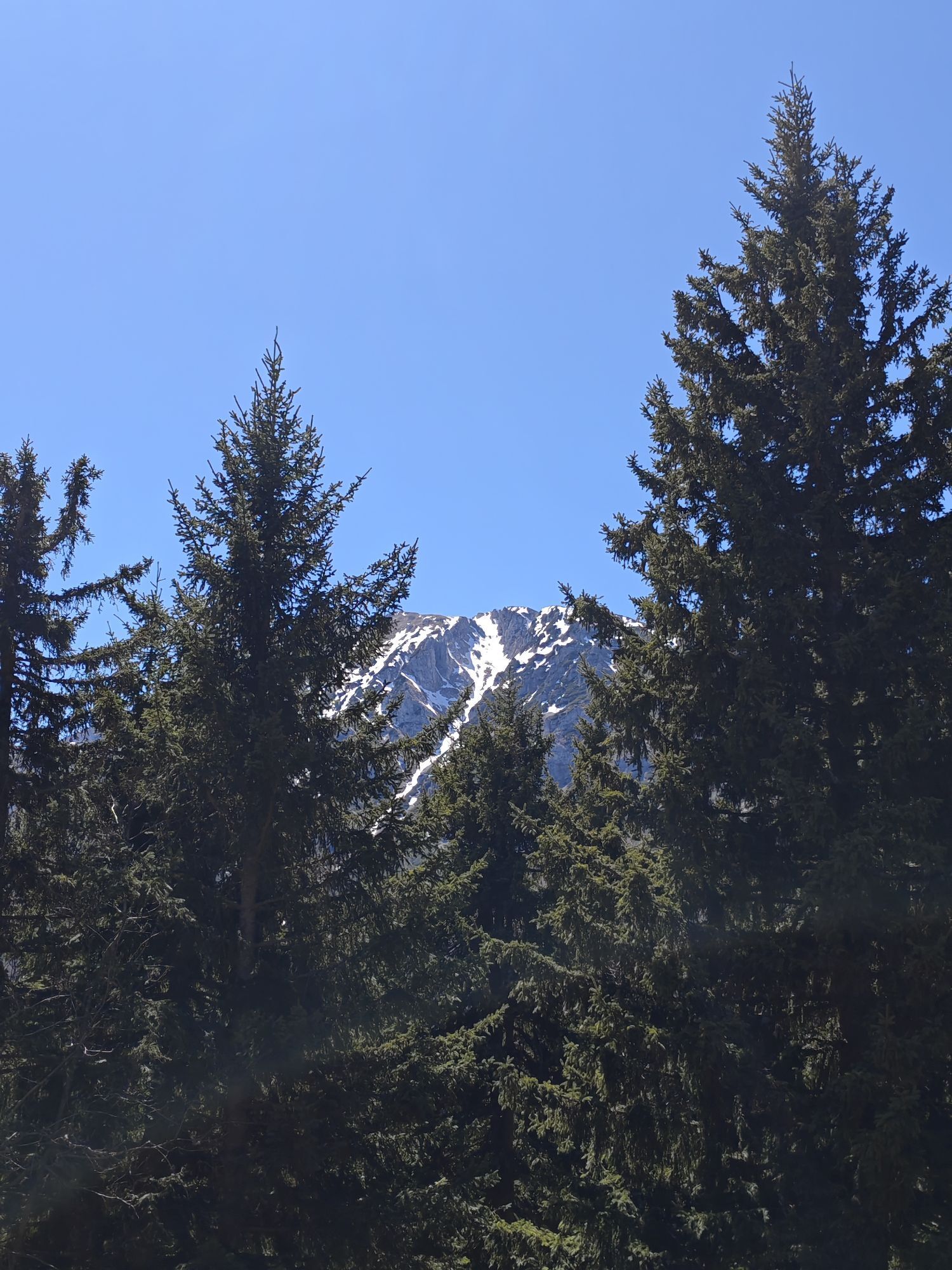
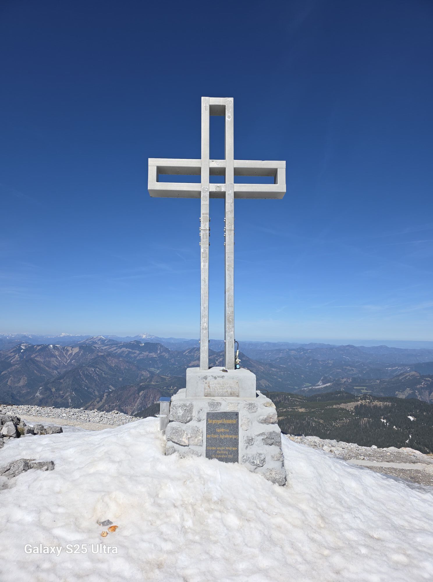
From here, immerse yourself in the high Alpine surroundings of the Rax and the Schneeberg, the highest mountain in Lower Austria. The experience of reaching the Hochschneeberg will more than make up for such a difficult ascent.
After that, the route continues down gentle paths from the Schneeberg mountain range in the Gutenstein Alps, and through the Piesting Valley, to Bad Fischau-Brunn.
![Zau[:ber:]g Semmering (Copyright: Wiener Alpen, Foto: Franz Zwickl)](https://vcdn.bergfex.at/images/resized/profiles/detail/894/eaf4700631fa4d6c49bbd957f18f0894.jpg)

At a good 300km, the long-distance trail leads along the Viennese Alpenbogen, through southern Lower Austria.
Starting in Katzelsdorf, at the foot of the Rosaliengebirge, even the first few kilometres along the border between Burgenland and Lower Austria will give you a preview of the hiking experience which is to come. You will soon see the great Alpenbogen fold out in front of you like a panoramic image.
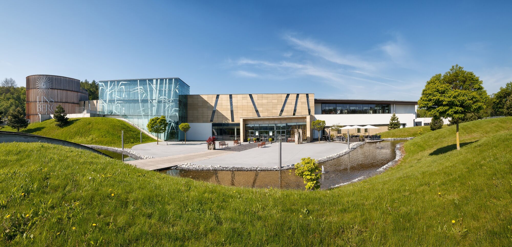
From Bad Erlach, where a visit to the Asian thermal spring in Linsberg is worthwhile, the route continues through the rolling hills of Bucklige Welt. The numerous castles and ruins are evidence of the eventful history of the eastern border area. The numerous fortified churches also bear silent witness to this era.
Passing through Kirchschlag in Bucklige Welt, you will reach Bad Schönau, a well-known spa resort. It is worth taking a break in one of the many hotels, to prepare yourself for the journey ahead. Right after Bad Schönau comes the ascent into the Wechselgebiet. From the Hutwisch lookout post in Hochneukirchen-Gschaidt, the path you have been following will become clear again.
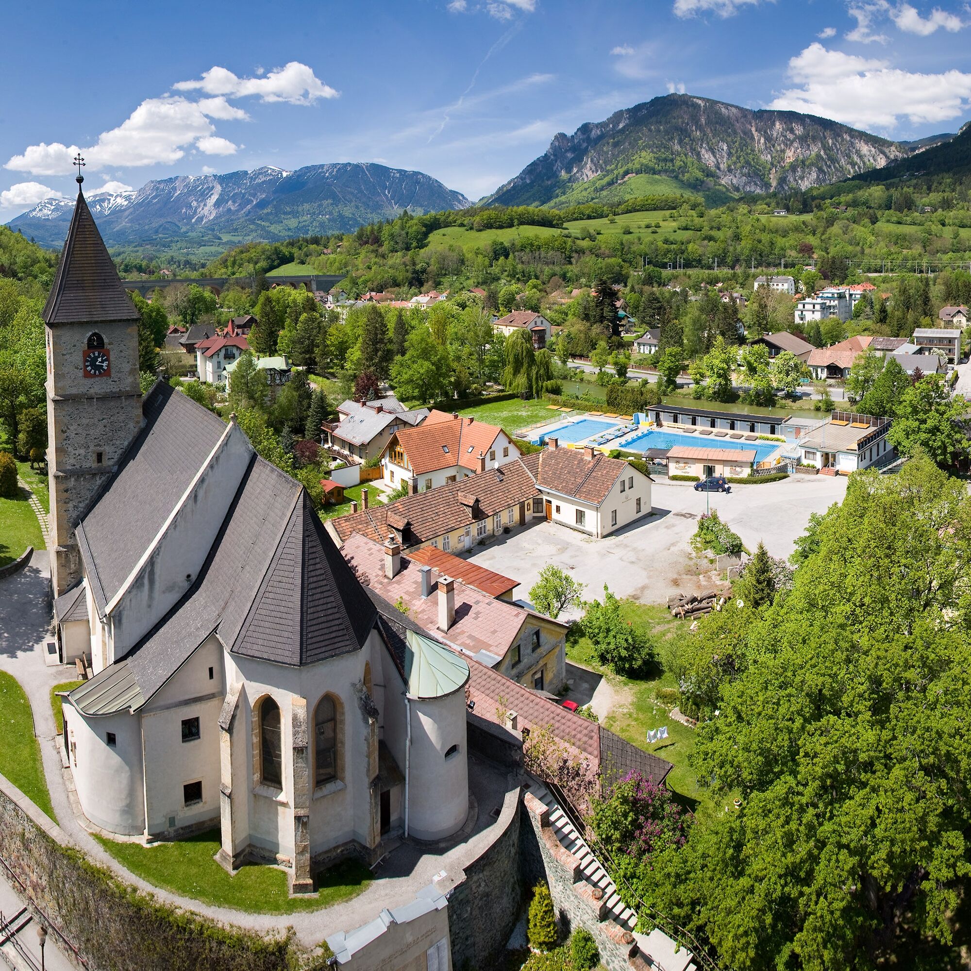
The route now leads into Schwaigenland, a pasture area along the Wechsel, and further east to the enchanting landscape of the “Semmering Railway and surrounding landscape”, which is a UNESCO World Heritage Site. Follow in the footsteps of artists and writers from the 19th – 21st centuries. To this day, Semmering remains a key location in Austria’s theatrical world.
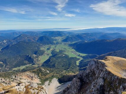
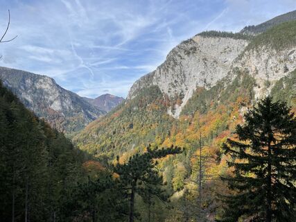
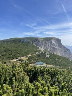
From here, you will leave the tranquil landscape of the Belle Epoque and immerse yourself in the high Alpine surroundings of the Rax and the Schneeberg. Accompanied by the rugged mountain range, coupled with idyllic valleys, the route leads to the Raxalpe, via the Höllental. The highest mountain in Lower Austria, the Schneeberg, which regally dominates the landscape, awaits you. The experience of reaching the Hochschneeberg will more than make up for such a difficult ascent.
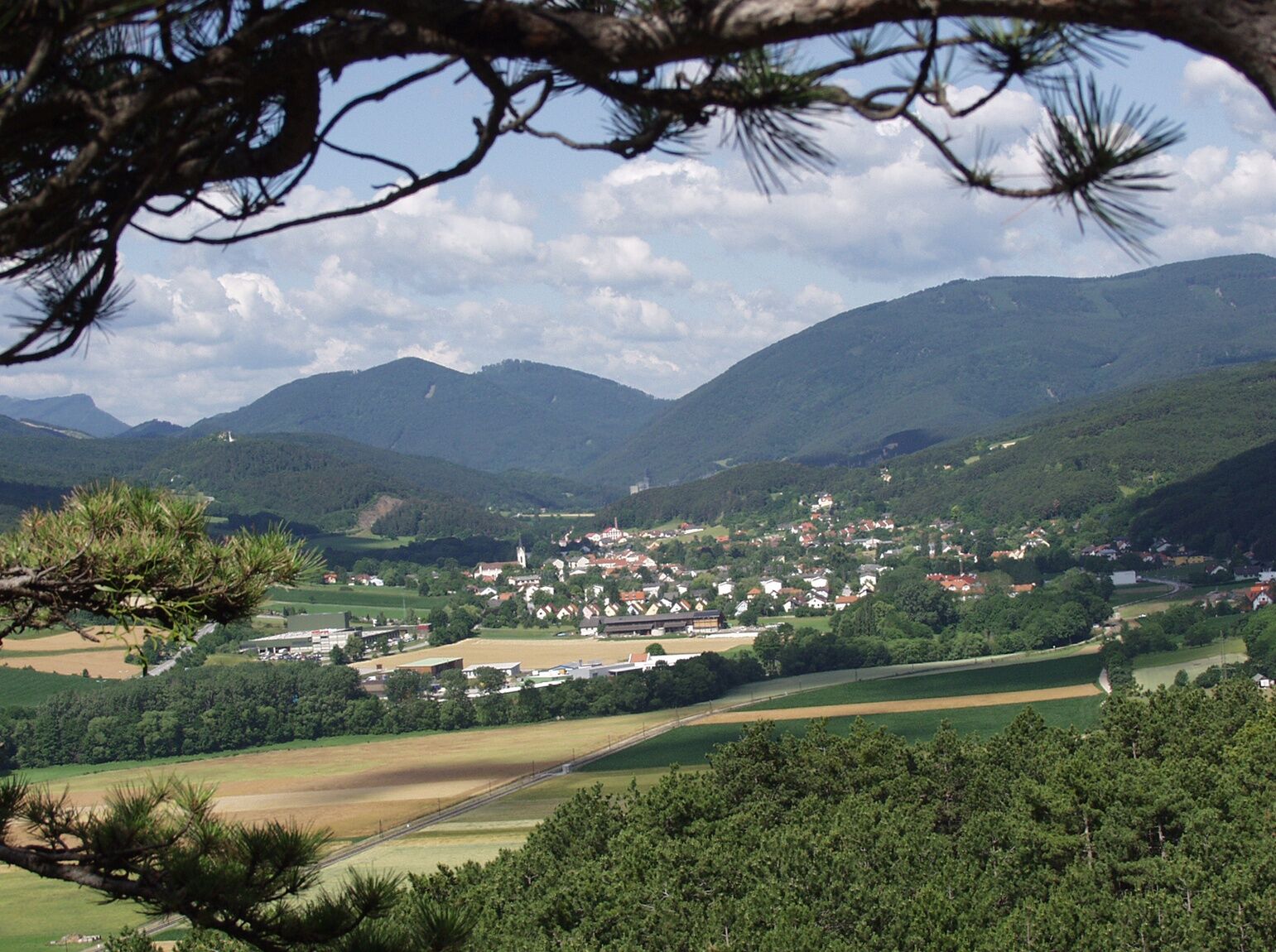
After that, the route continues down gentle paths from the Schneeberg mountain range in the Gutenstein Alps, which constitute the northern part of the Viennese Alps in Lower Austria.
The final section of the trail runs along the southern side of the Piestingtal, a landscape of which the merits were enjoyed by painters and writers in the 19th century. The tour ends at Bad Fischau-Brunn, with the Fischau hot spring. Once there, enjoy the spa facilities and proudly reflect on your hike through the diversity of the great Alpenbogen, witnessed from the small Alpenbogen.
Sí
Although most of the routes are well-developed hiking trails, you will still walk through hilly and mountainous landscapes. Suitable equipment is recommended.
Some parts of the route lead through high Alpine terrain, where the weather can change at any time. Care must therefore be taken.
Please note that this tour passes through high Alpine terrain. Bring a suitable map. Wear suitable, sturdy shoes, and bring sun and rain protection, as well as water and a bite to eat. Bring your mobile phone, and save the emergency number of the mountain rescue team: 140
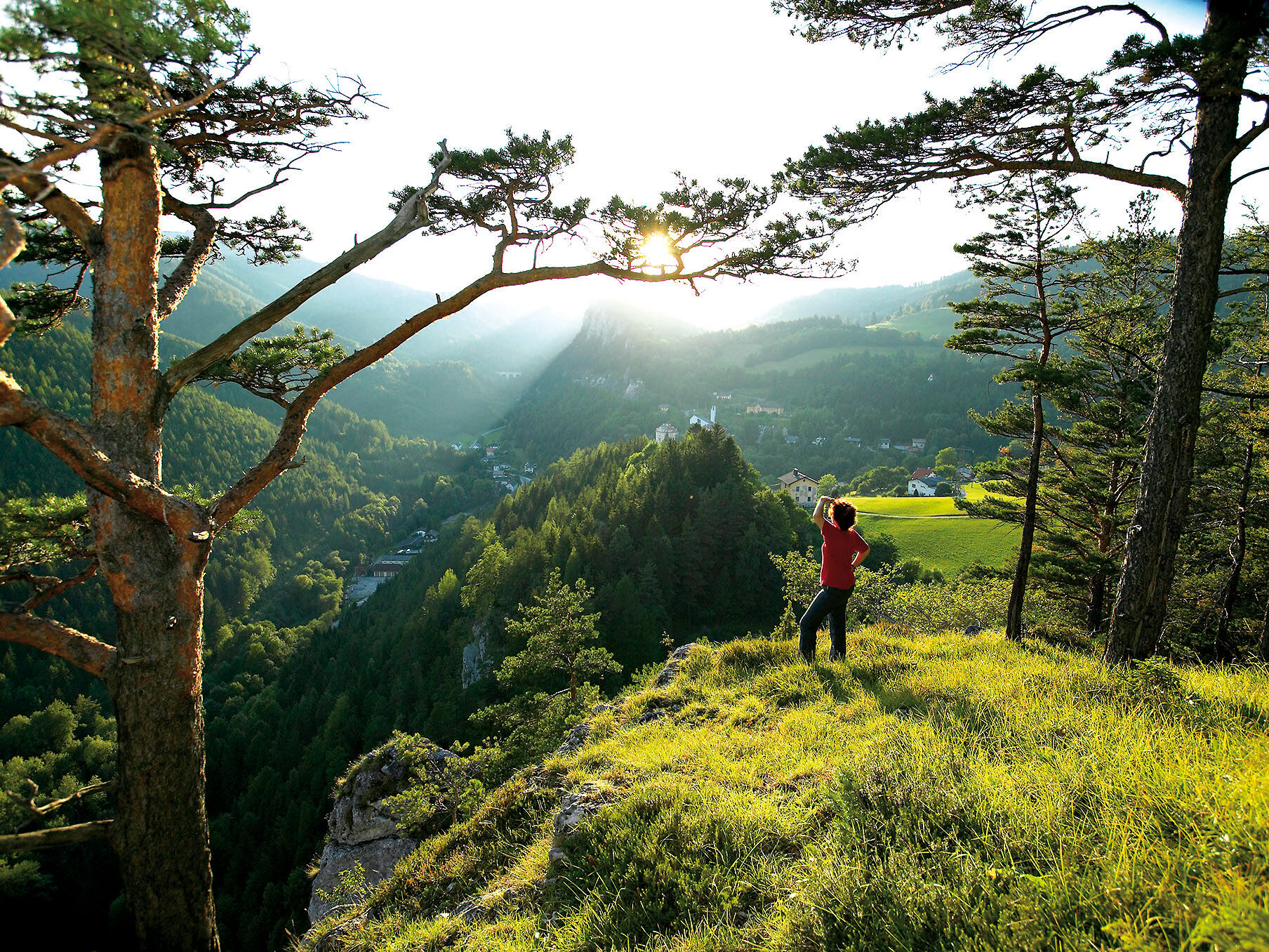
Walking in the Viennese Alps should be a completely safe and beautiful experience. Therefore, please note the following:
Preparation
Make sure that your choice of route matches your hiking experience and your physical condition. Check the weather forecast. In the mountains, the weather can change surprisingly quickly. For this reason, make sure you are well-equipped (e.g. bring rain protection).
Check that the huts and refreshment stations that you want to visit along the way will be open. Tell someone which route you have chosen, and when you hope to return, before you set off.
Take the A2 motorway to Knoten Wiener Neustadt/the S4 exit towards Mattersburg. Turn right at the S4 exit towards Katzelsdorf. Turn left at the church. After 200m, turn right at Katzelsdorf Castle.
Take the southern railway (Südbahn) to Wiener Neustadt Hauptbahnhof. Then take the regional train (Regionalzug) to Katzelsdorf. The castle is approx. 20 minutes on foot from Katzeldorf station.
See www.oebb.at for more information.
Several parking spaces are available in front of the castle.
Wiener Alpen in Niederösterreich, www.wieneralpen.at, +43 / 2622 / 78960
Tourismusbüro Reichenau an der Rax, www.reichenau.at, +43 / 2666 / 52206 25
Here you can get a free hiking guide about your tour. This hiking guide provides an overview of the route, and information on refreshment stops. Please note that this is not a suitable hiking map.
Entlang des Weges am Wiener Alpenbogen gibt es Betriebe, die sich als Wanderbetriebe zertifizieren lassen. Hilfestellung bei der Planung Ihrer Wanderung und Übernachtung bietet Ihnen das Büro der Wiener Alpen in Katzelsdorf. Nähere Informationen erhalten Sie unter www.wieneralpen.at oder telefonisch unter +43 / 2622 / 78960
Vergessen Sie nicht Ihren Wiener Alpen-Viewer im praktischen Handformat mit zu nehmen.
Webcams del recorrido
-
Mönichkirchner Schwaig
-
Bergstation Semmering Hirschenkogel
-
Fischerhütte
-
Fischerhütte
-
Damboeckhaus
-
Sessellift Losenheim
-
Hochschneeberg
-
Rablkreuzhütte
-
Rax-Seilbahn/Bergstation
-
Hochschneeberg
-
Puchberg
-
Baumgartner
-
Edelweisshütte Losenheim
-
Galerie Voka
-
Puchberg Kurpark
-
Schmoll Lifte - Tal
-
Hollenthon
-
Panorama Stuhleck
-
Elisabethkirche
-
Waldeggerhaus
-
Gasthof Kleine Kanzel
-
Fischerhütte
-
Panoramabahn Bergstation
-
Talstation Happylift Semmering
-
Hochneukirchen
-
Semmering Sporthotel
-
Panhanswiese
-
Rax-Seilbahn/Bergstation
-
Gutenstein - Servitenkloster Mariahilfberg
-
Wr. Neustadt - Flugplatz
-
Skilift Feistritzsattel
-
Gutenstein - Ferienwohnungen Mamauwiese
-
Panoramakamera Hollenthon
-
Hochwolkersdorf
-
Talstation Semmering Hirschenkogel
-
Bergstation Semmering Hirschenkogel
-
Hochwechsel Wetterkoglerhaus
-
Kirchberg am Wechsel
-
Hollenthon 1
-
Raxalpe - Ottohaus
Rutas populares en los alrededores
-
3,8
St. Corona - Kampstein
medioSenderismo 10,7 km -
4,8
Paseo cultural Payerbach-Reichenau
luzSenderismo 7,43 km -
4,8
"Krummbachstein 1602m" - Eng - Payerbach - Rundwanderweg
medioSenderismo 24,8 km -
4,8
Hohe Wand: Babygrat (1+), Rundwanderung und Wagnersteig (A)
pesadoSenderismo 11,8 km -
4,8
Flatzer Wand Wanderung
luzSenderismo 5,62 km -
4,8
Hohe Wand Wagnersteig - Springlessteig
medioSenderismo 5,59 km -
4,6
Prigglitz - Pottschacher Hütte - Rote Wand - Prigglitz
luzSenderismo 8,80 km -
4,6
Grünbach - Eselsteig - Geländ
luzSenderismo 5,22 km -
4,6
Bucklige Welt: Auf dem Pittentaler Klettersteig zum Türkensturz
medioVía ferrata 1,96 km -
4,5
Schanzkapelle - Kleiner Otter - Mitterotter - Großer Otter - Kummerbauerstadl - von Göstritz Göstritz, Niederösterreich
medioSenderismo 11,6 km

Senderismo y rastreo


No se pierda las ofertas y la inspiración para sus próximas vacaciones
Su dirección de correo electrónico se ha añadido a la lista de correo.