


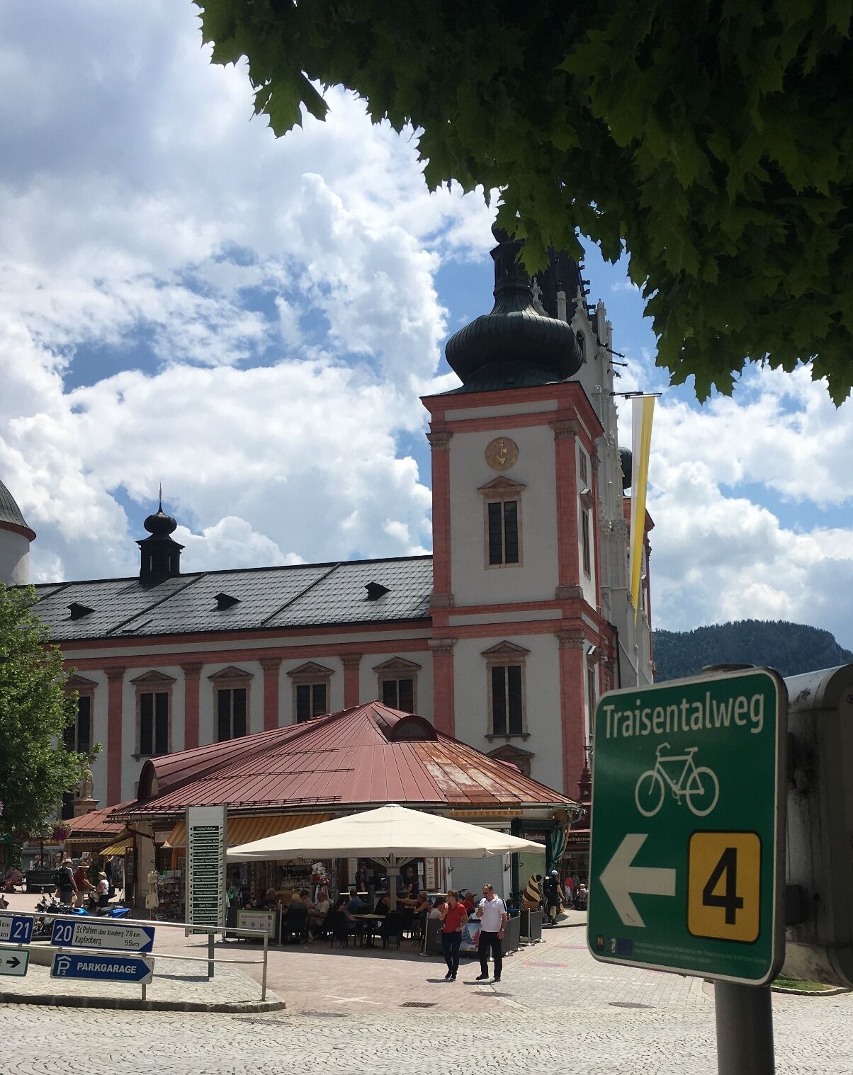
Traisental Cycle Path
Fotos de nuestros usuarios
-
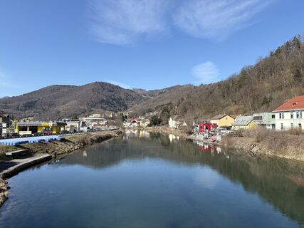
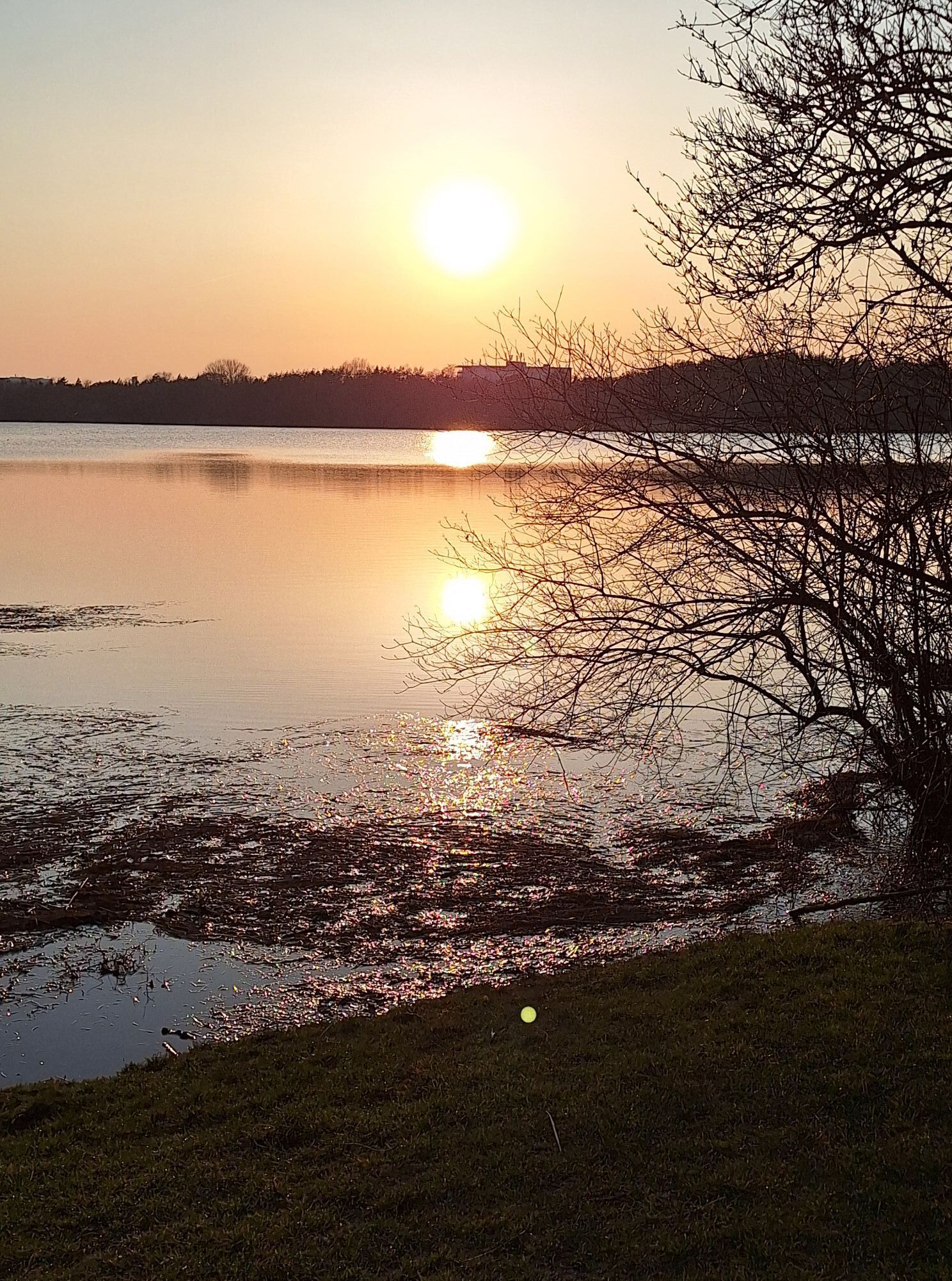
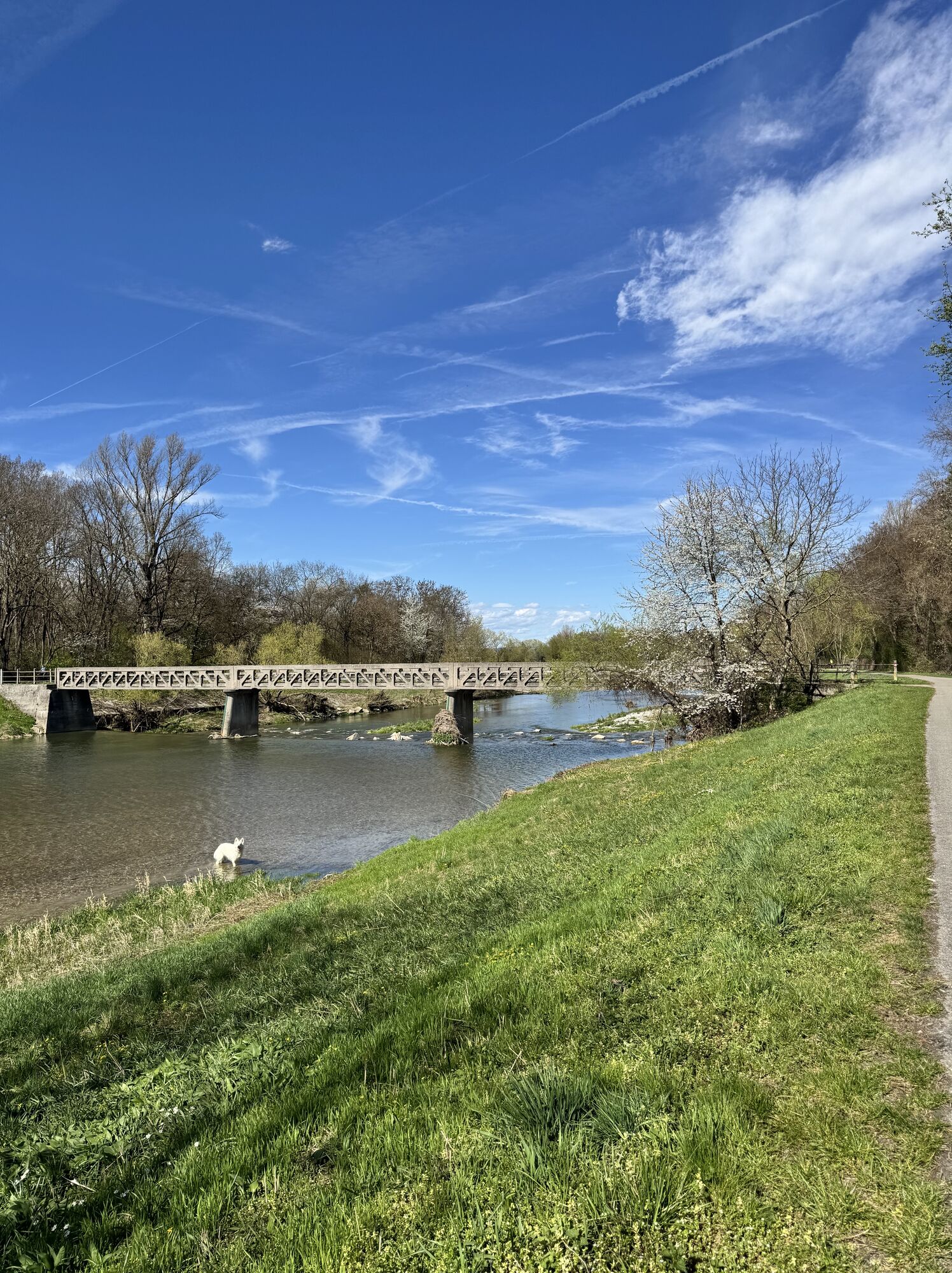
 © MimiCreado el 19.04.2026
 -
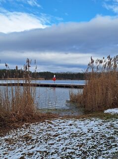
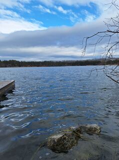
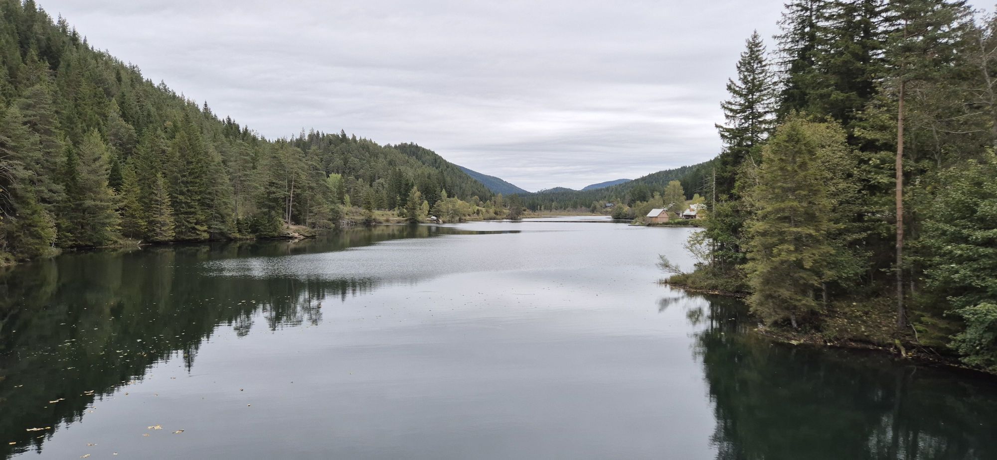
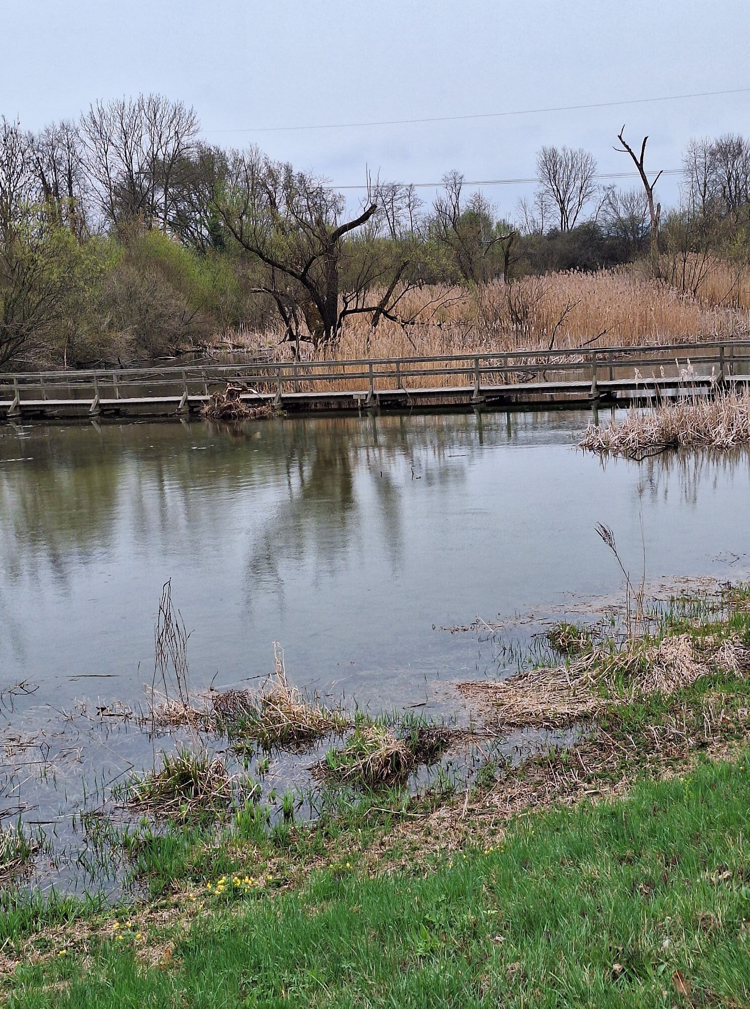
 © MimiCreado el 07.03.2026
 -
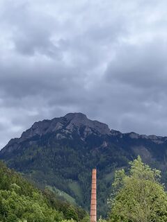
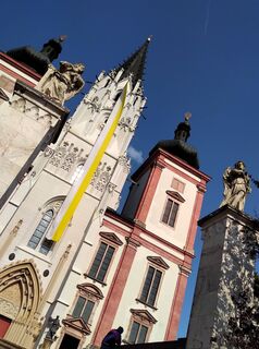
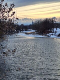
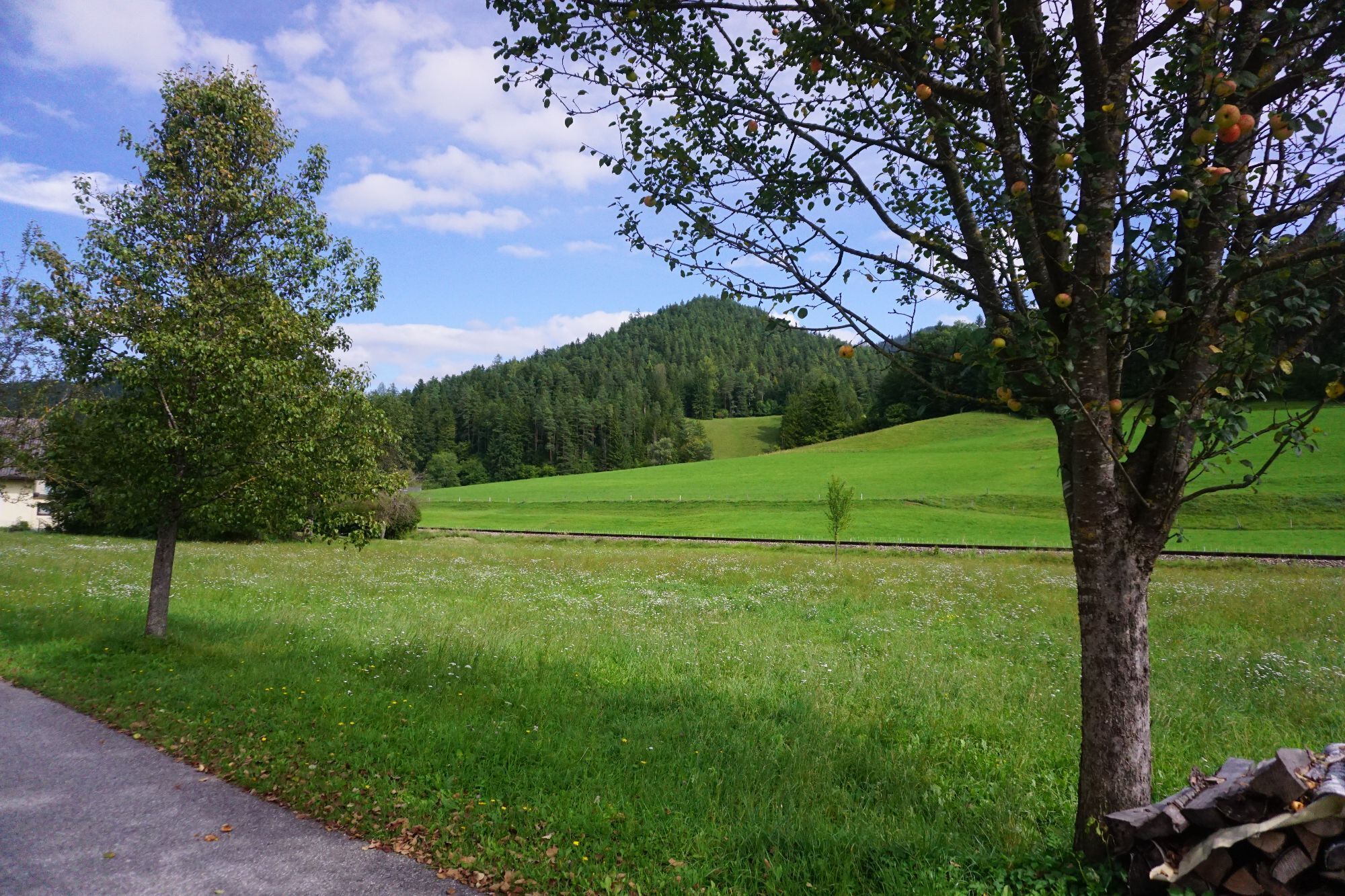
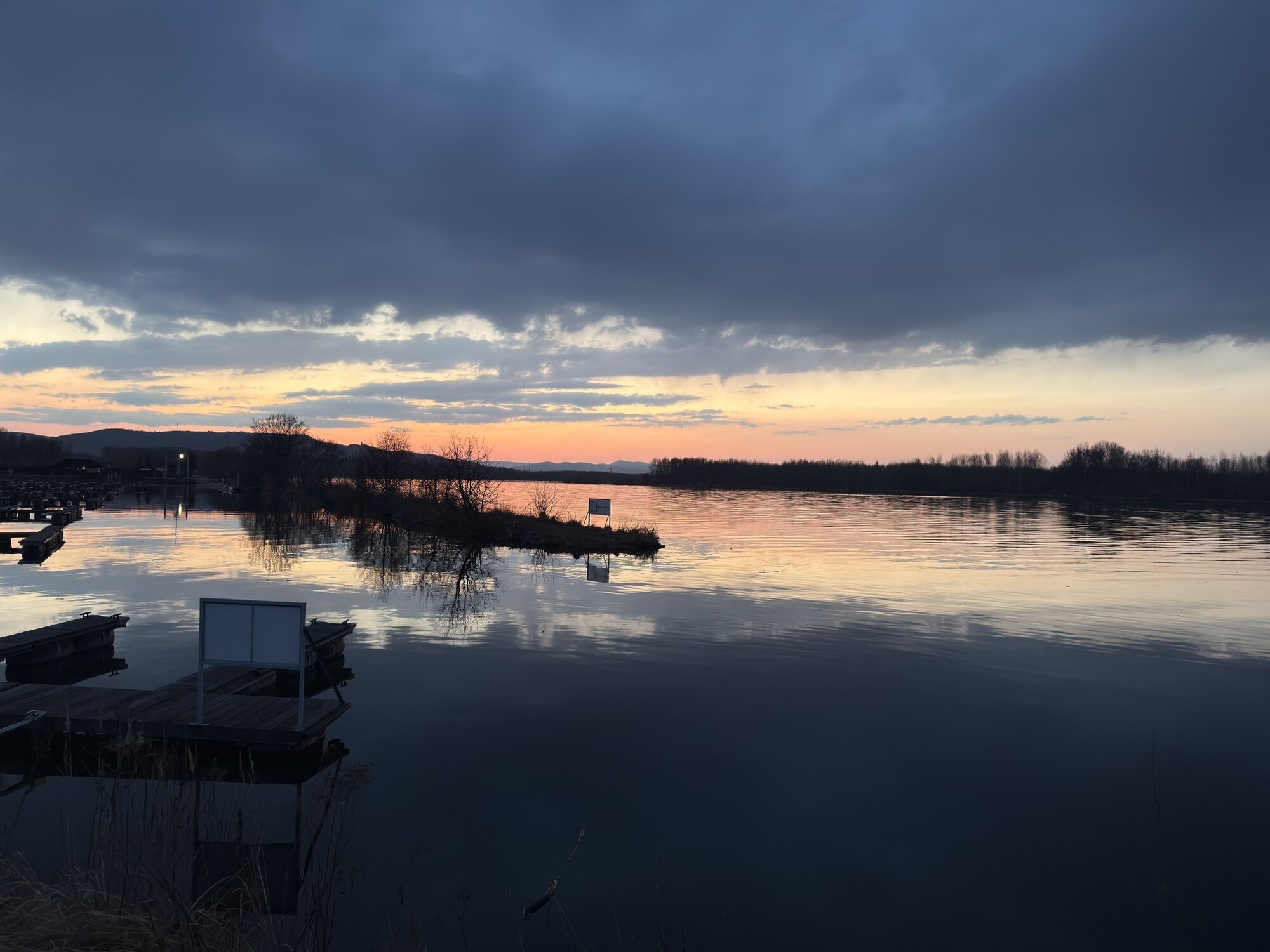
 © Hari SchrittwieserCreado el 04.10.2025
 -
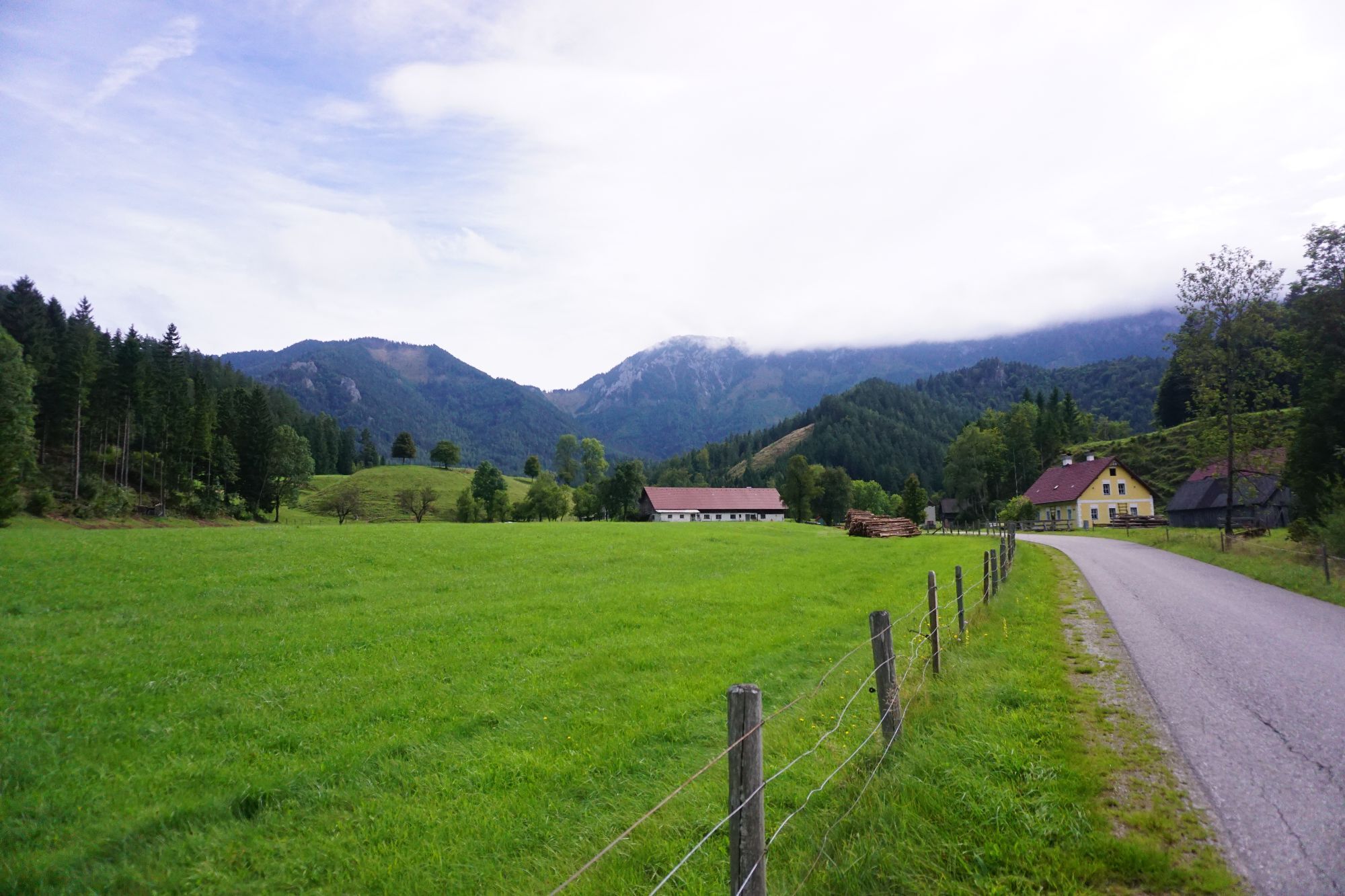
 © Hari SchrittwieserCreado el 04.10.2025
 -
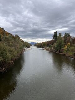
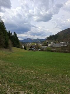
 © Walter KöllnerCreado el 07.09.2025
 -
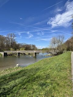
 © Walter KöllnerCreado el 07.09.2025
 -
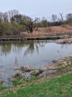
 © Walter KöllnerCreado el 07.09.2025
 -
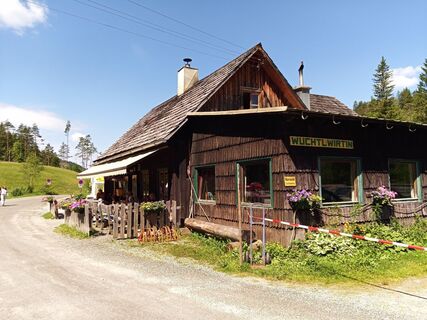
 © Sepp SchachiCreado el 22.06.2025
 -
 © Tina ThommesenCreado el 21.06.2025
 -
 © Tina ThommesenCreado el 21.06.2025
 -
 © Wolfhard LenzCreado el 30.05.2025
 -

 © Reinhard SchusterCreado el 29.04.2025
 -
 © Sweet I‘mCreado el 13.10.2024
 -
 © Erwin KrumböckCreado el 08.06.2024
 -
 © Alois HuberCreado el 14.04.2024
 -
 © Alois HuberCreado el 14.04.2024
 -

 © Lisset SvejkosvkyCreado el 07.10.2023
 -
 © Lisset SvejkosvkyCreado el 07.10.2023
 -
 © Lisset SvejkosvkyCreado el 07.10.2023
 -
 © Lisset SvejkosvkyCreado el 07.10.2023
 -
 © Lisset SvejkosvkyCreado el 07.10.2023
 -

 © G.A.Creado el 18.06.2023
 -
 © G.A.Creado el 18.06.2023
 -
 © G.A.Creado el 18.06.2023
 -
 © G.A.Creado el 18.06.2023
 -
 © G.A.Creado el 18.06.2023
 -
 © G.A.Creado el 18.06.2023
 -
 © G.A.Creado el 18.06.2023
 -
 © G.A.Creado el 18.06.2023
 -
 © G.A.Creado el 18.06.2023
 -
 © Oliver VeceraCreado el 19.04.2026
 -
 © Radelbauer AnjaCreado el 05.04.2026
 -
 © MimiCreado el 29.03.2026
 -

 © Walter HaslmairCreado el 22.03.2026
 -
 © Walter HaslmairCreado el 22.03.2026
 -
 © MoonytigerCreado el 13.03.2026
 -
 © MimiCreado el 28.02.2026
 -
 © MimiCreado el 15.02.2026
 -
 © MimiCreado el 15.02.2026
 -
 © MimiCreado el 11.01.2026
 -
 © MimiCreado el 11.01.2026
 -
 © MimiCreado el 11.01.2026
 -
 © MimiCreado el 01.01.2026
 -
 © Magda MoldaCreado el 26.12.2025
 -
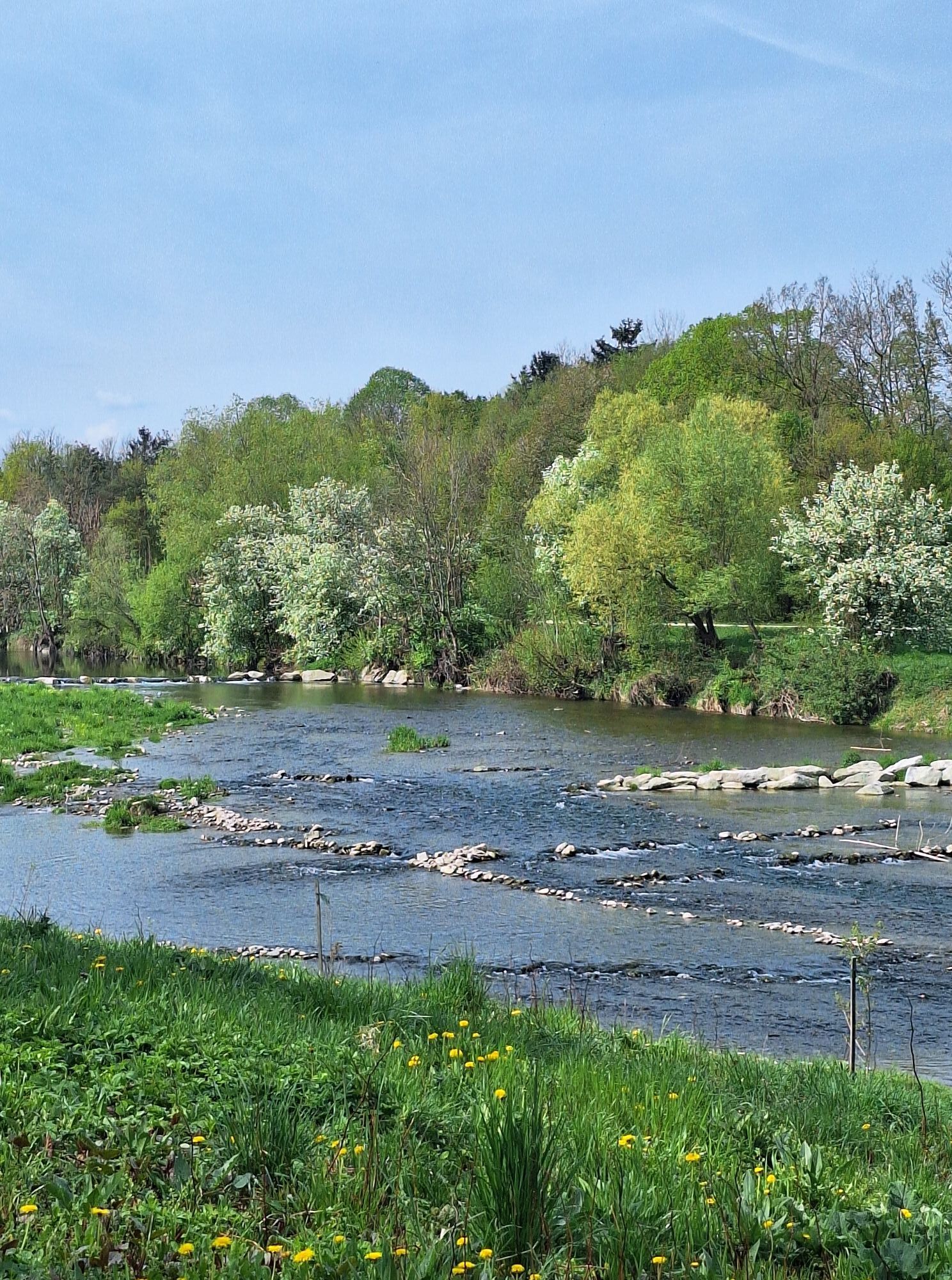
 © BergfexxMaxxCreado el 24.12.2025
 -
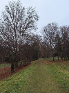
 © MimiCreado el 24.12.2025
 -
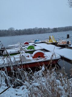 © MimiCreado el 24.12.2025
 -
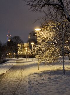
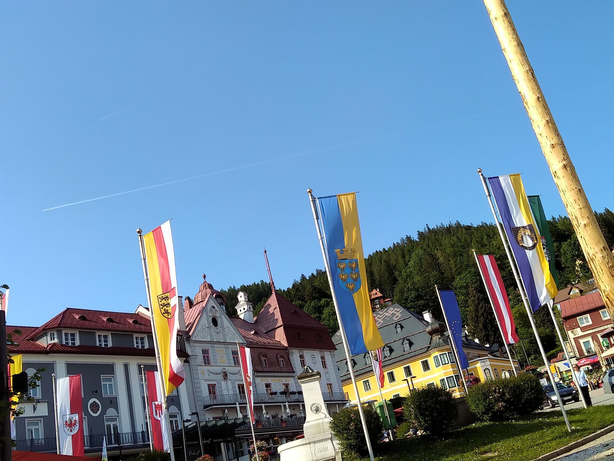
 © MimiCreado el 03.12.2025


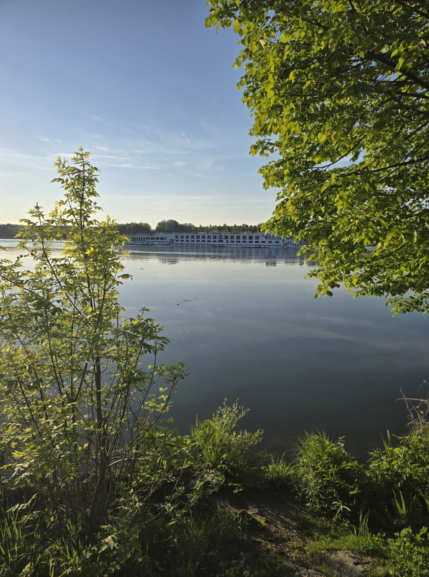
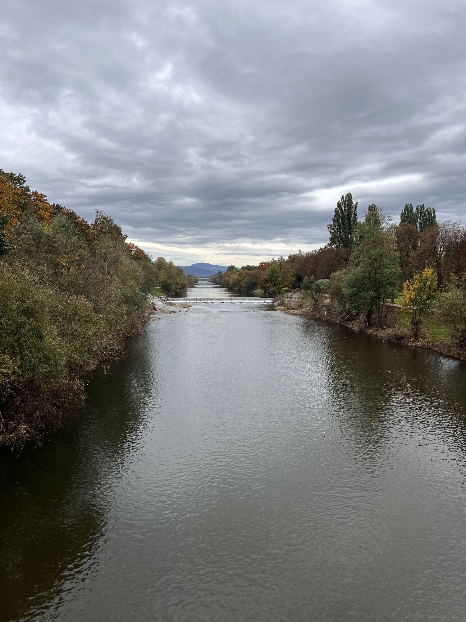

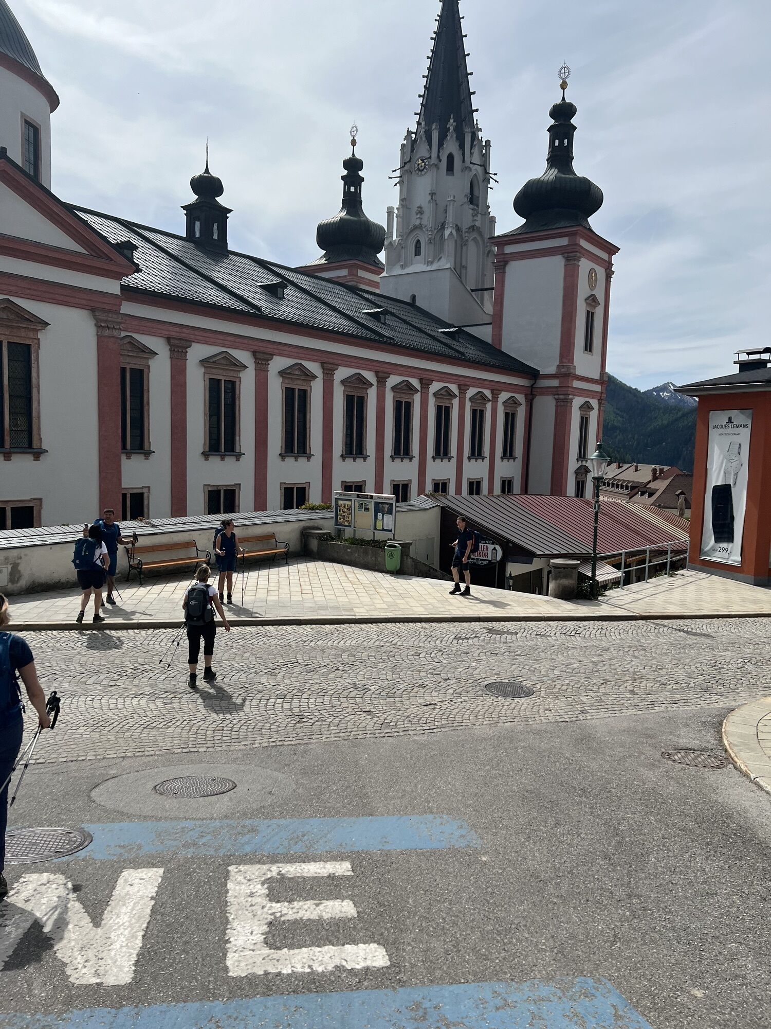
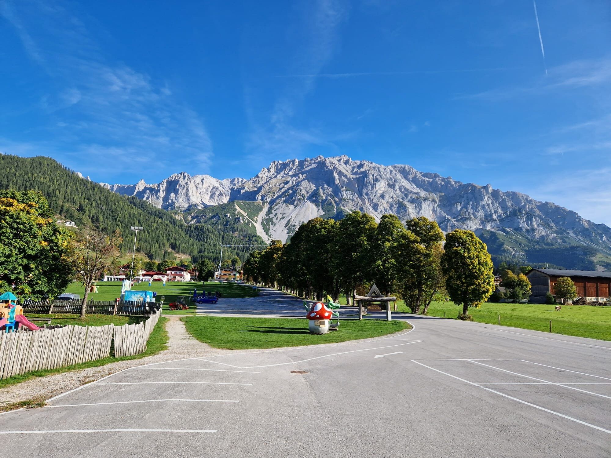

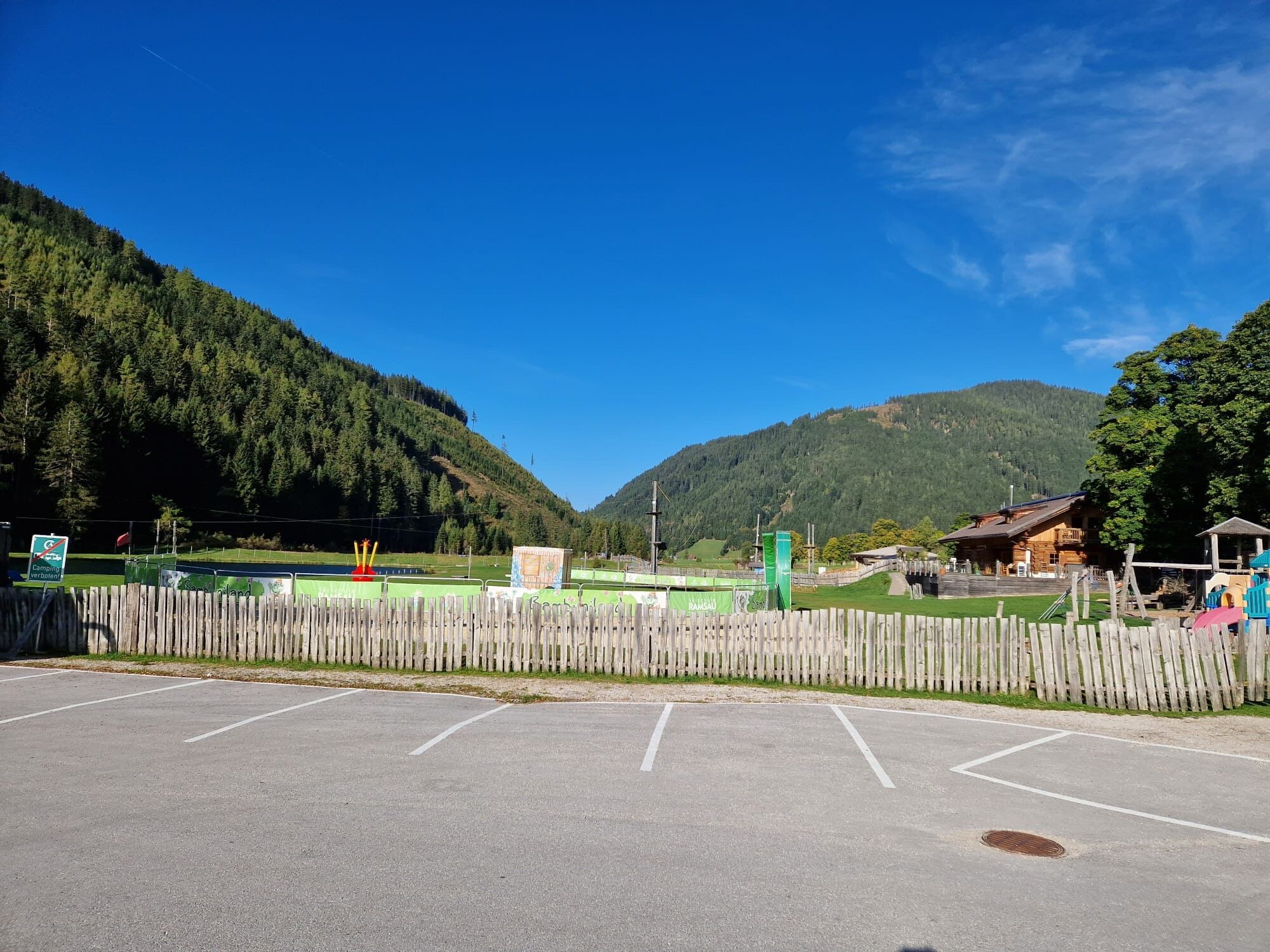
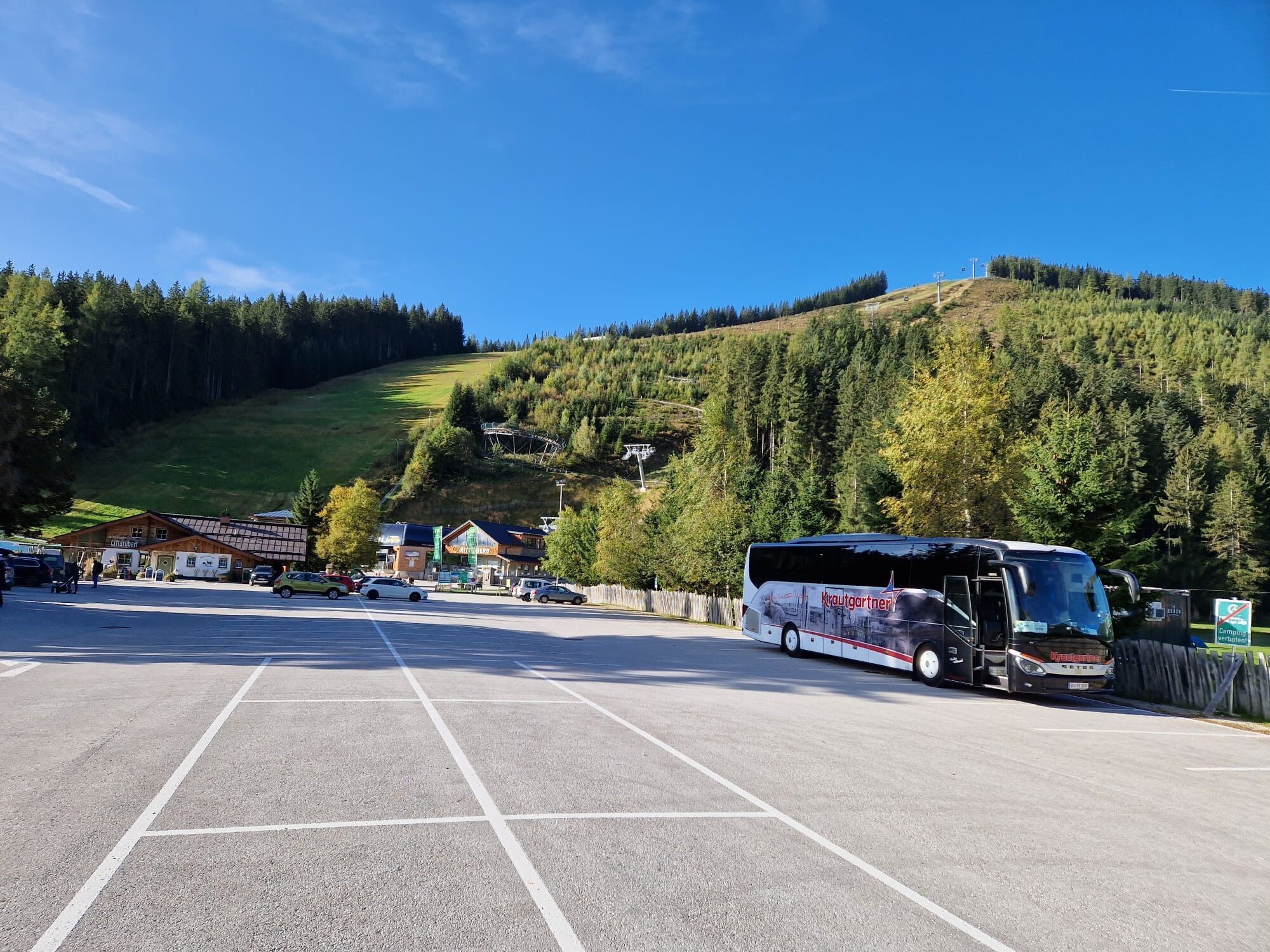


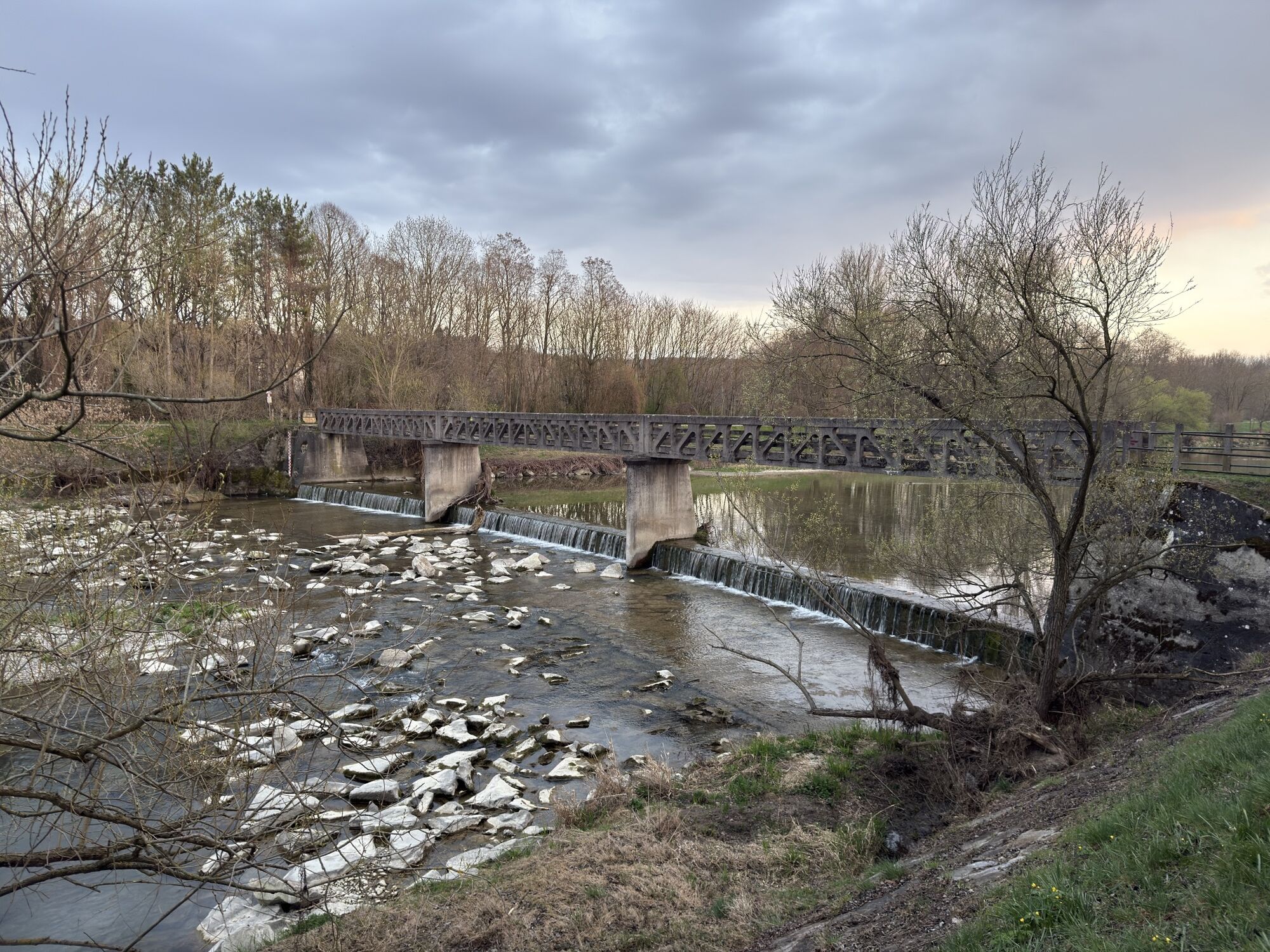


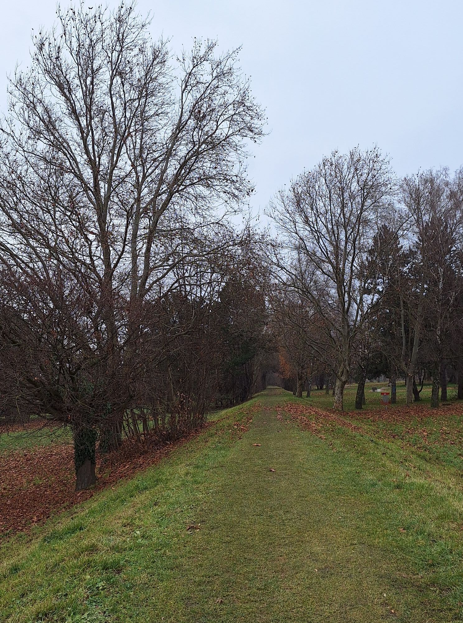
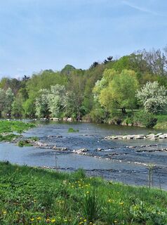
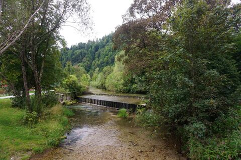
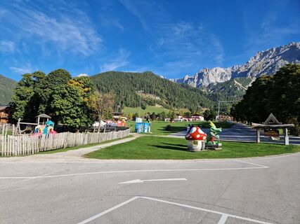
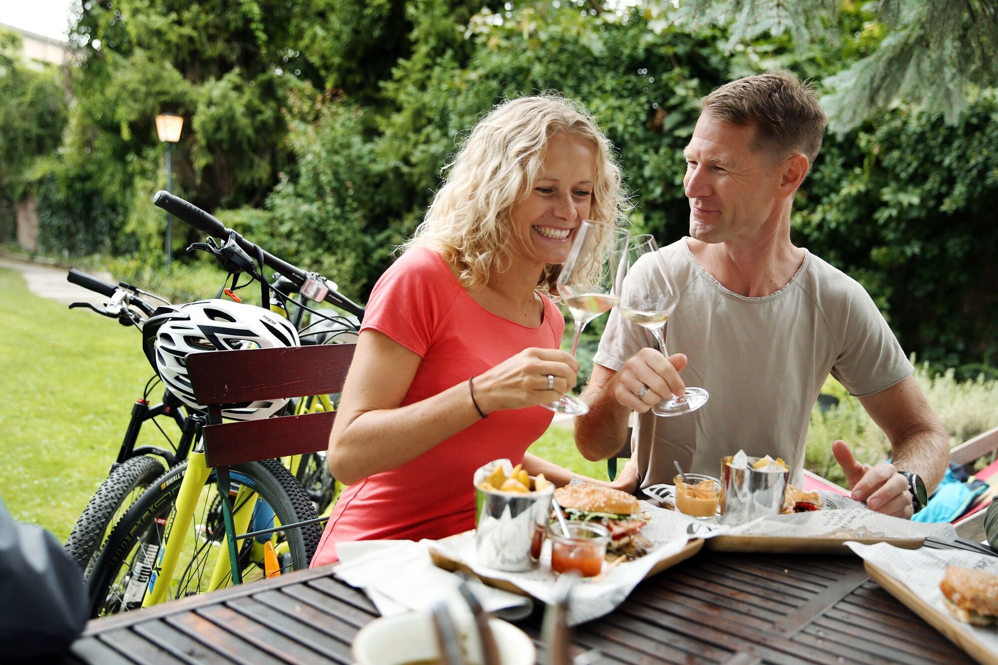
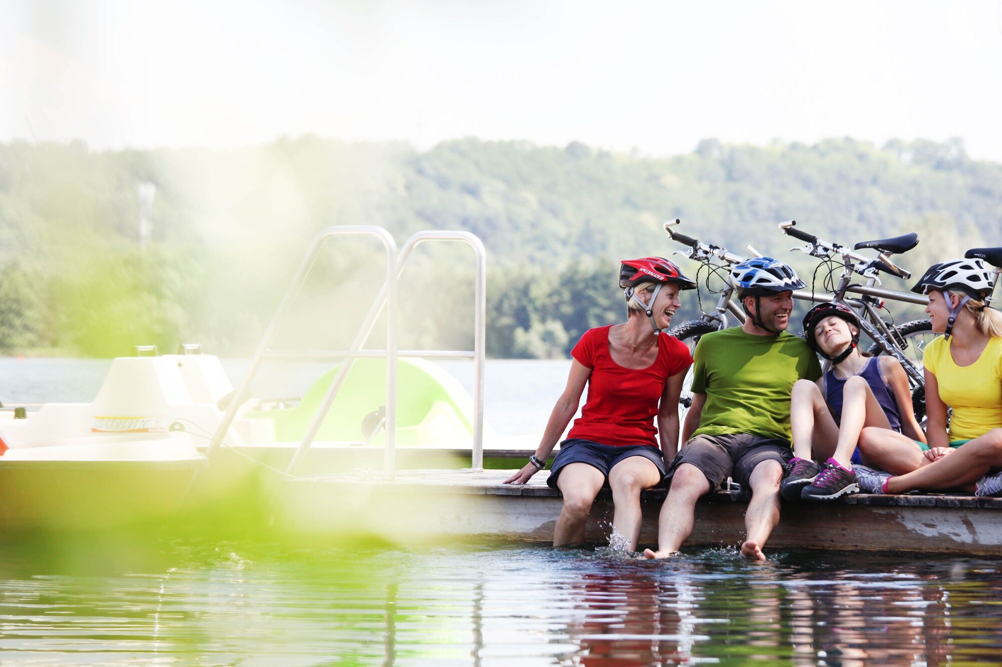
The Traisental Cycle Path is one of the most popular cycling routes in the Mostviertel area for several reasons. The interplay of landscapes is enchanting, and additionally, the path runs nicely flat and...
<p>The Traisental Cycle Path is one of the most popular cycling routes in the Mostviertel area for several reasons. The interplay of landscapes is enchanting, and additionally, the path runs nicely flat and continuously asphalted up to the upper Traisental. The signage is regularly maintained and clearly visible. </p><p>From the Danube to Hohenberg, the route hardly rises noticeably, then a little more to Kernhof. Really demanding because steep is only the 4-kilometer section from Kernhof to the Gscheid (970 m). Then it goes moderately uphill, a section downhill, and finally only the Kreuzberg shortly before Mariazell needs to be conquered. <br /><br />Those who do not want to cycle the entire route in one go can take individual stages by bus or train. Between Kernhof and St. Pölten, the Radtramper Bus runs. From St. Pölten, there is a rail connection to Lilienfeld as well as to Traismauer and Krems.</p><p>For the return trip from Mariazell to St. Pölten, the Mariazell Railway is recommended.<br /><strong>IMPORTANT:</strong><br />The section between Kernhof and Mariazell requires some effort. The ascent/descent to/from the Gscheid is steep and winding. Therefore, this section is not recommended for families with small children.</p><p><strong>Family routes "Cycling for Kids"</strong></p><p>Along the Traisental Cycle Path, there are three sections particularly suitable for families:</p>On a discovery trip<br />Family route through St. Pölten, towards the Landhaus quarter, Viehofner Lakes, and a lookout tower<br />More about the routeOff to the camels!<br />Family route from St. Aegyd to Kernhof to the camel theater and white zoo Kernhof and to the Maho riding farm<br />More about the routeGreat tunnel route<br />Family route along the former railway track between Freiland and Tü rnitz<br />More about the route

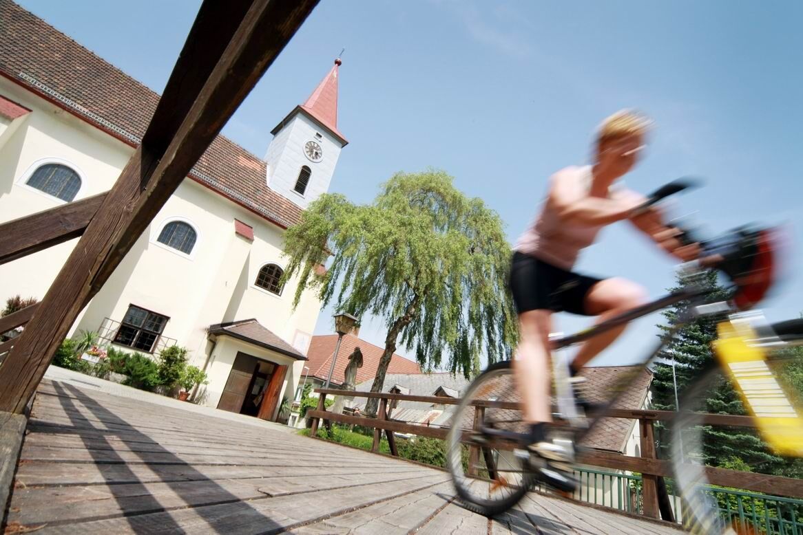
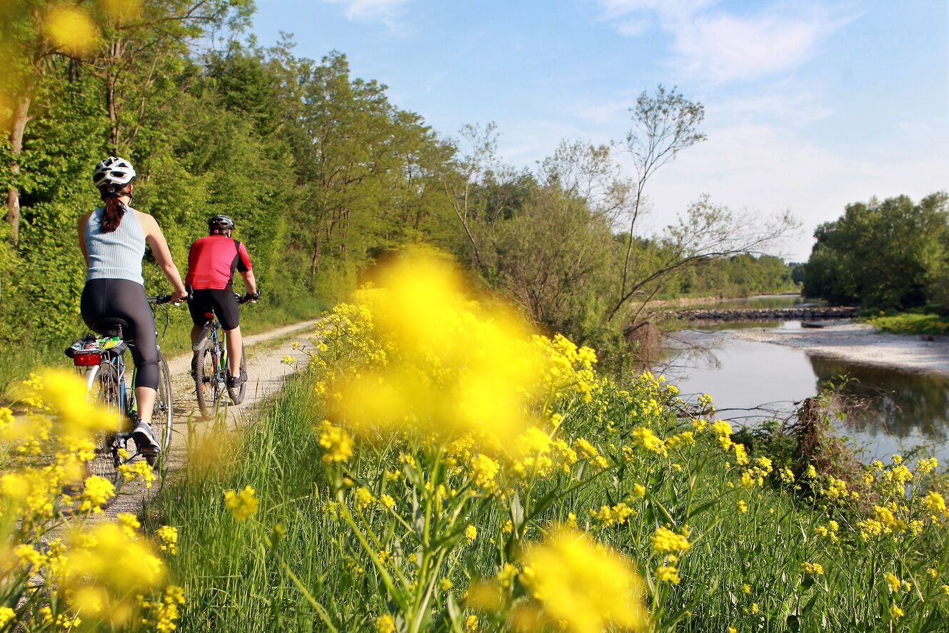
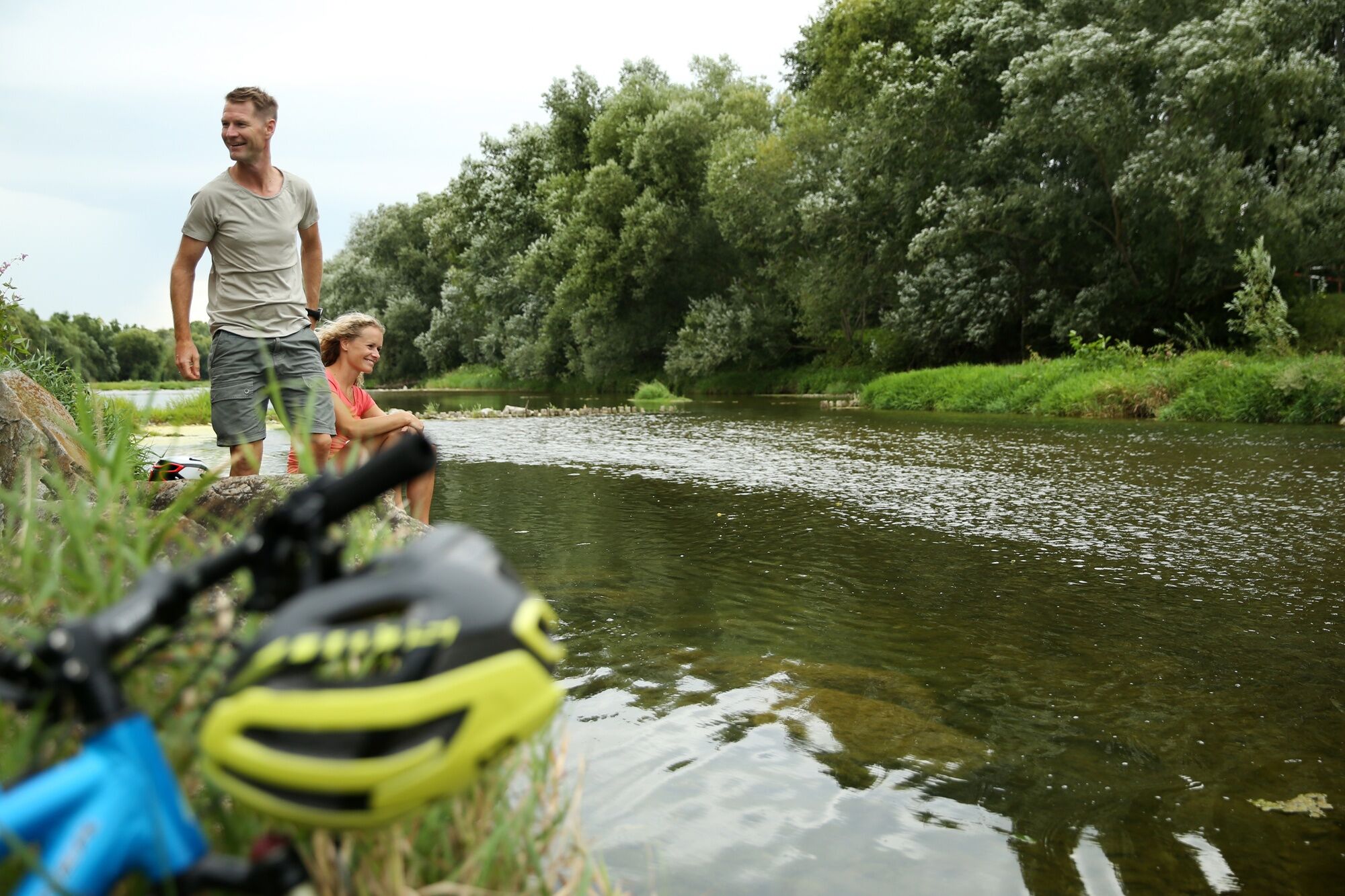
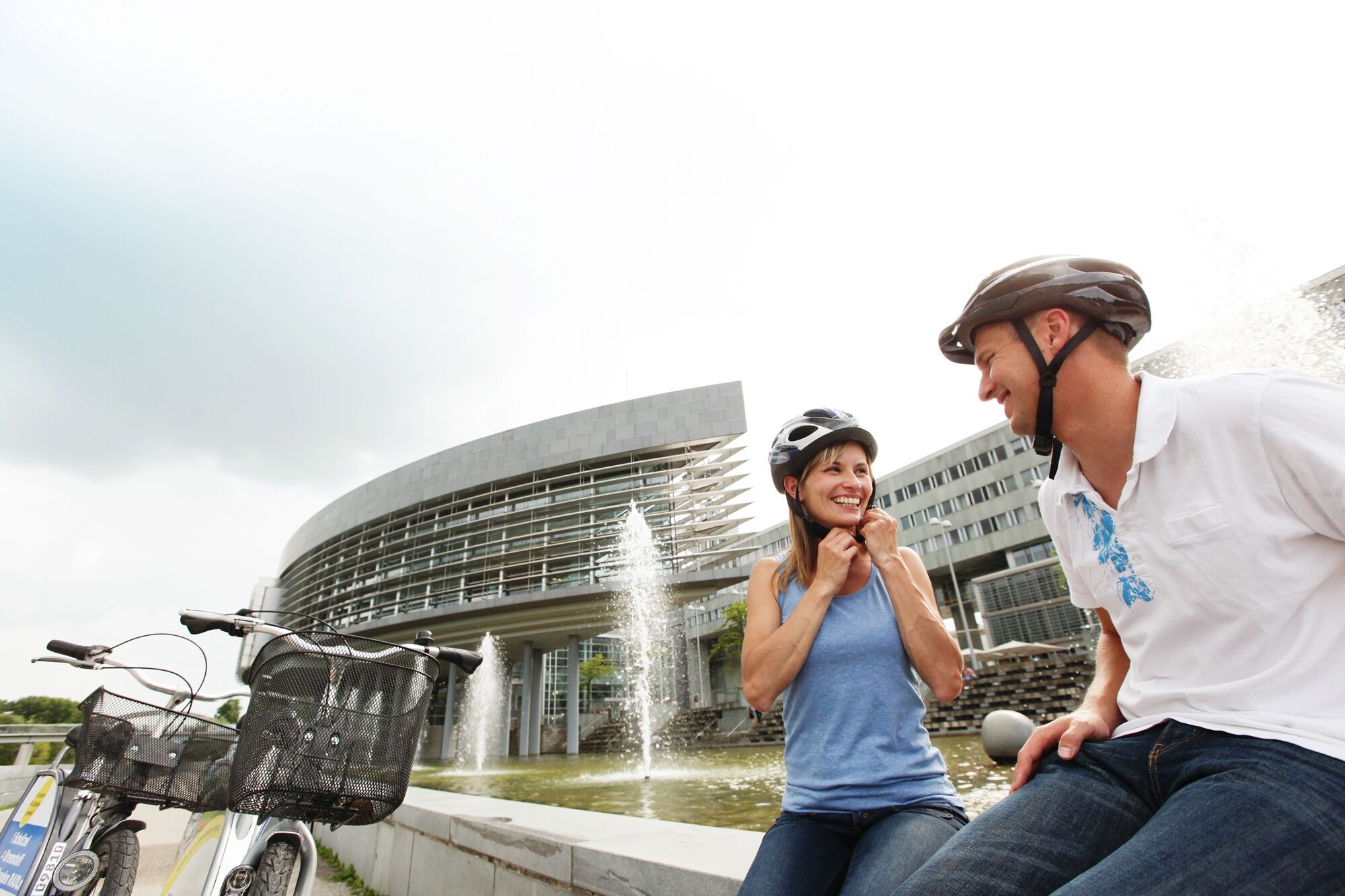
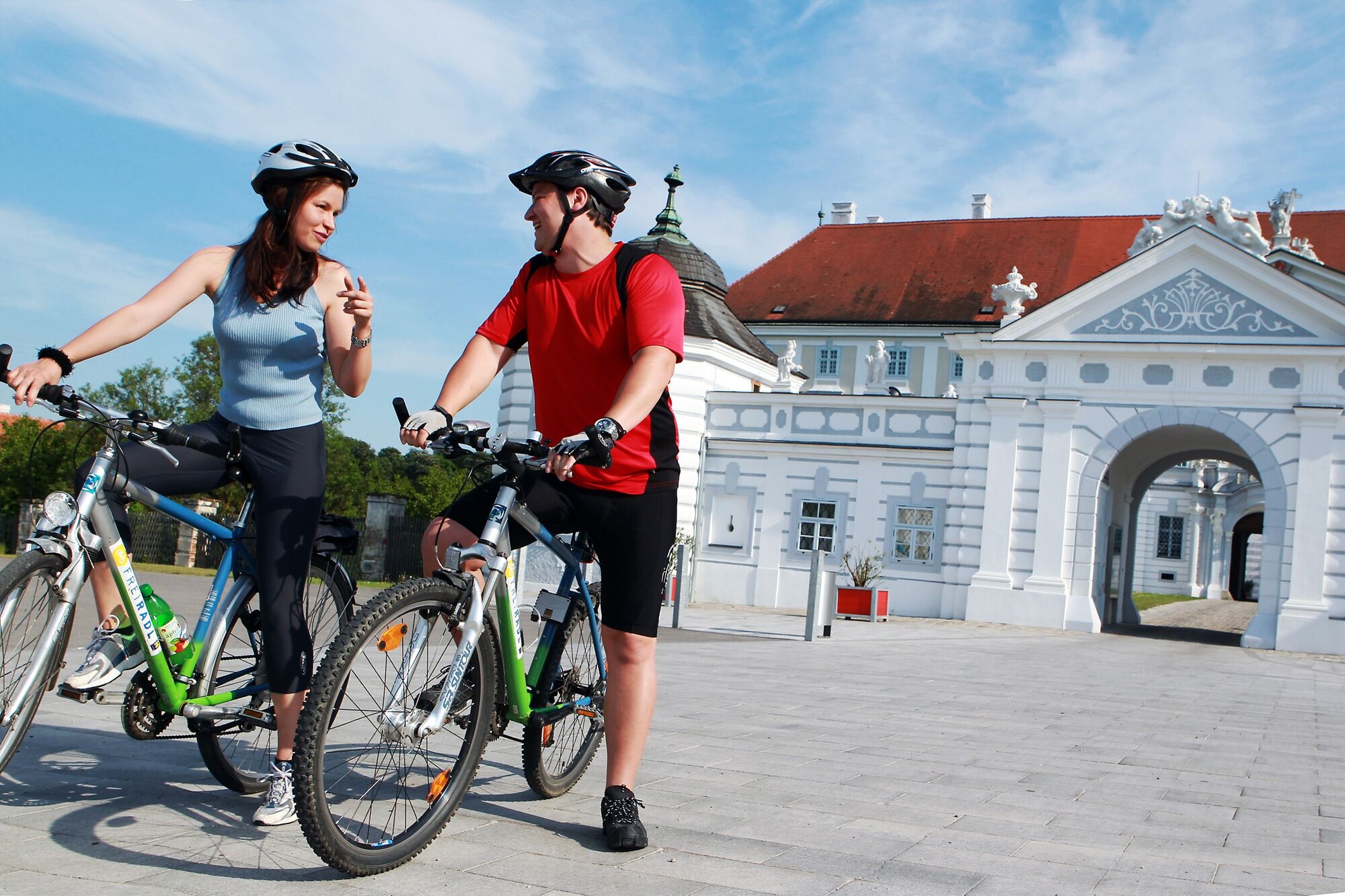
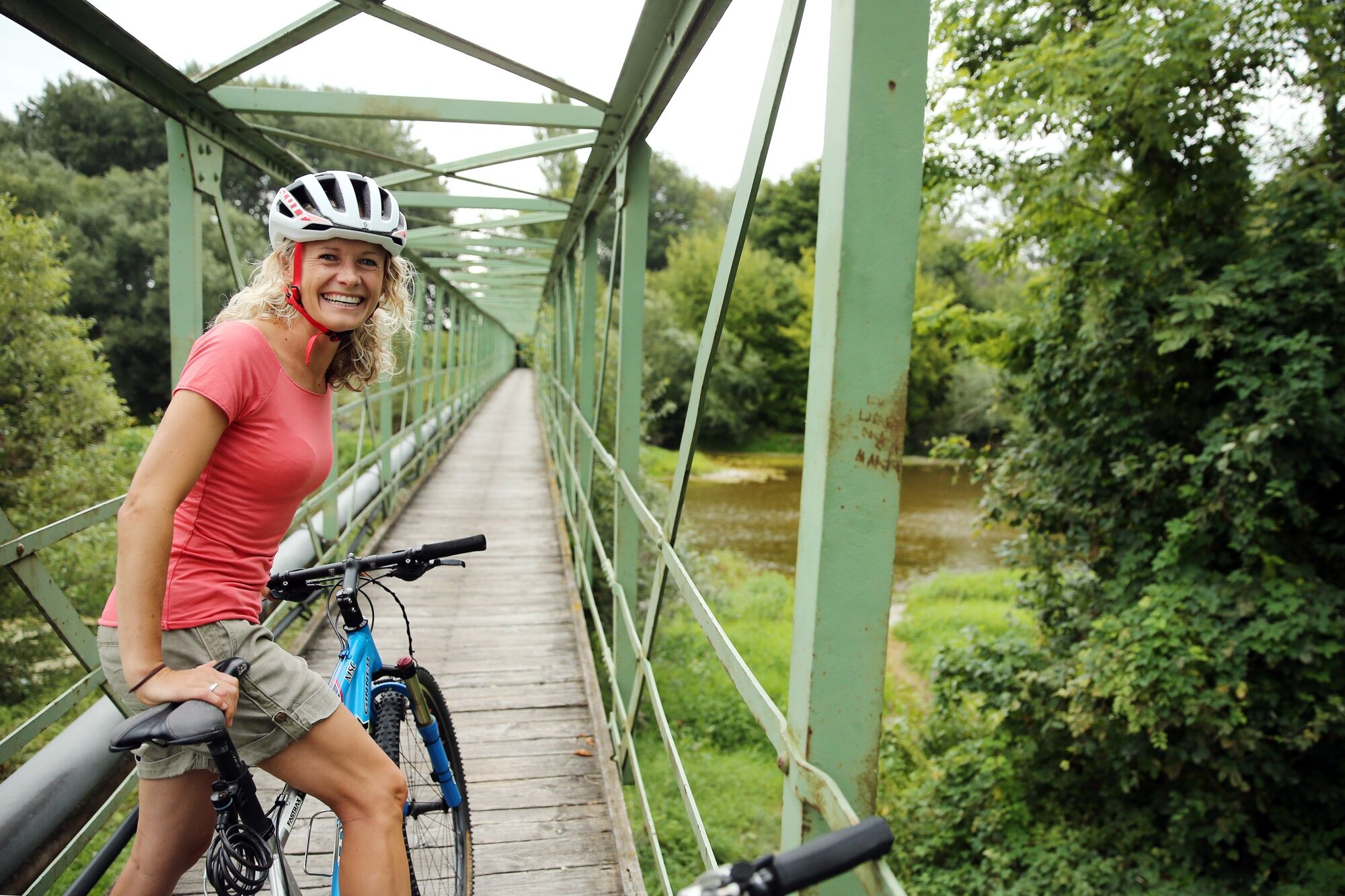
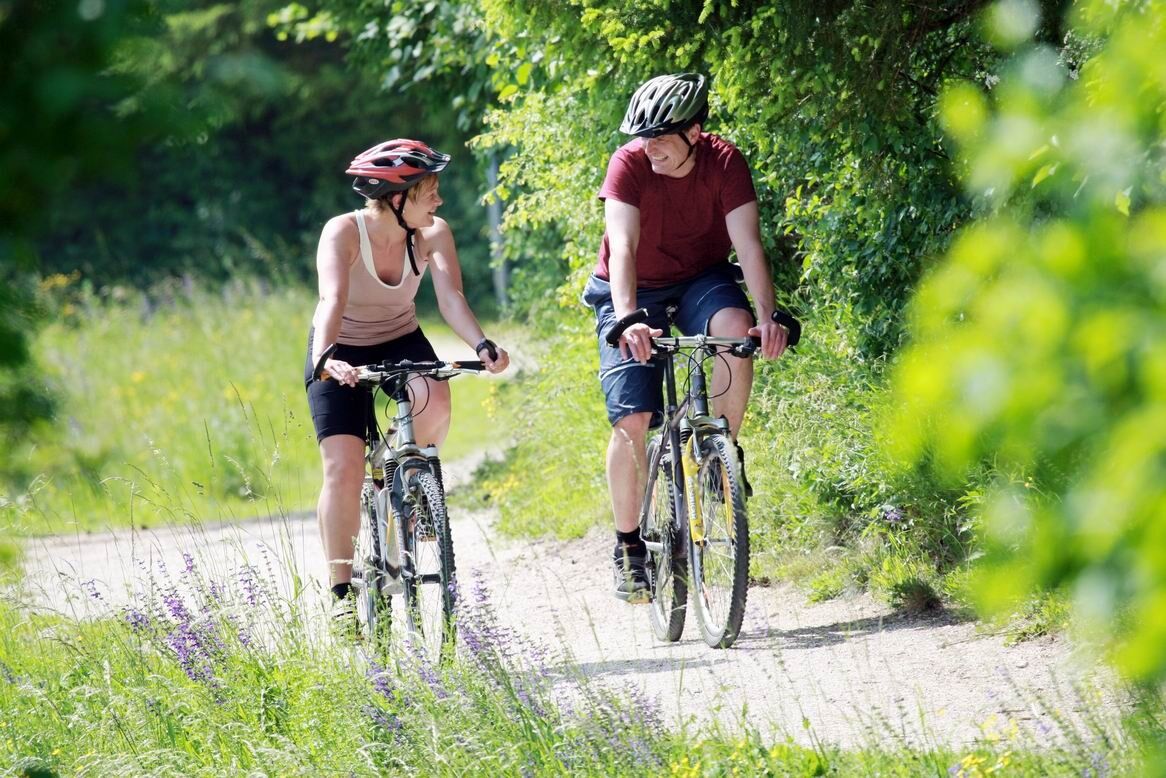
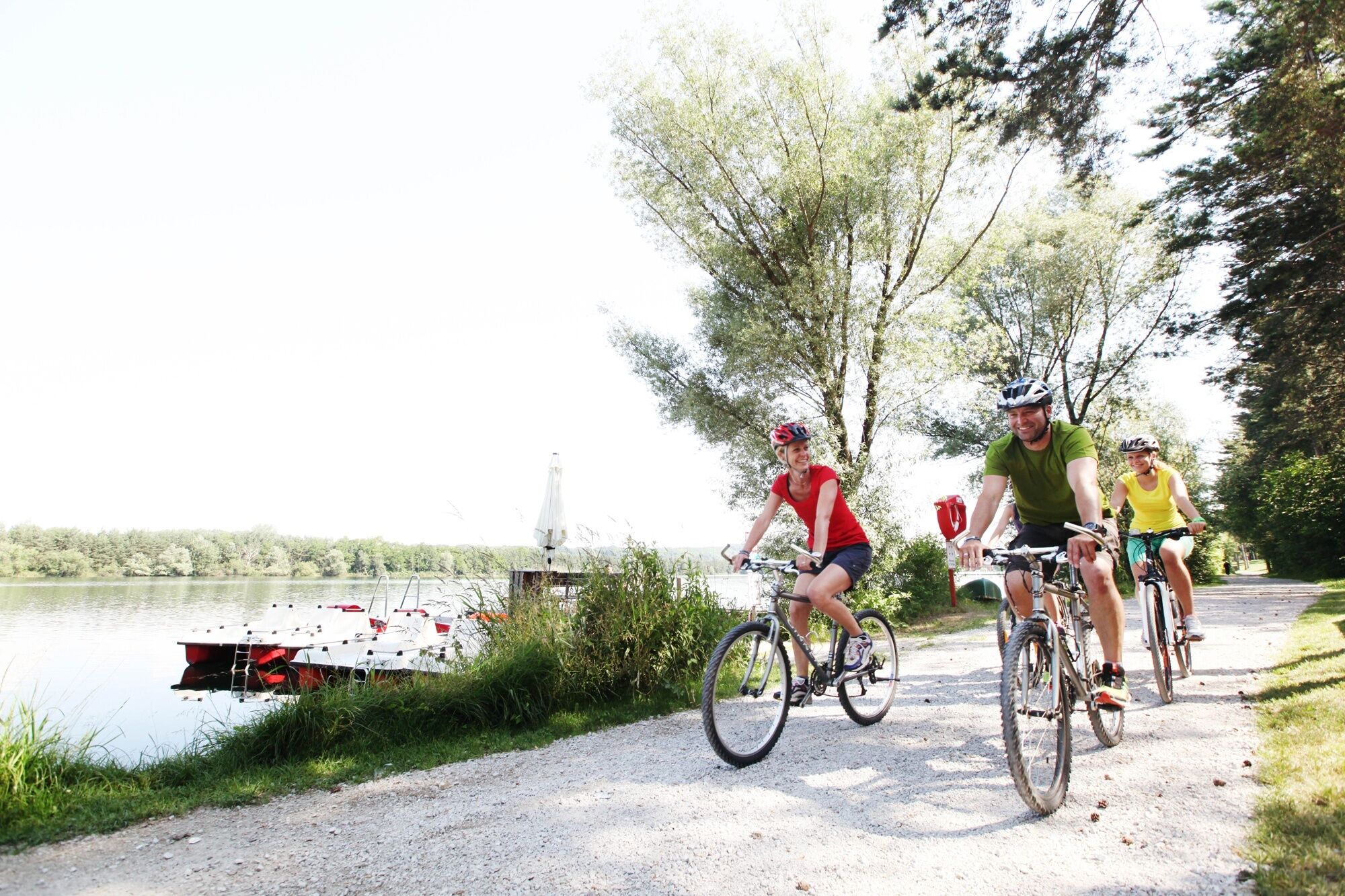
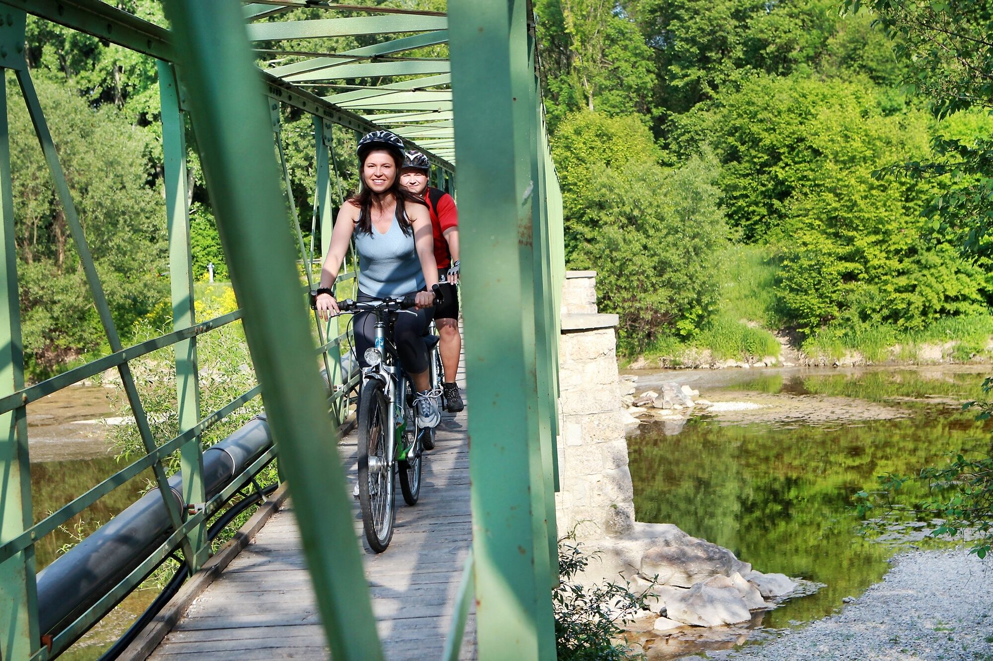
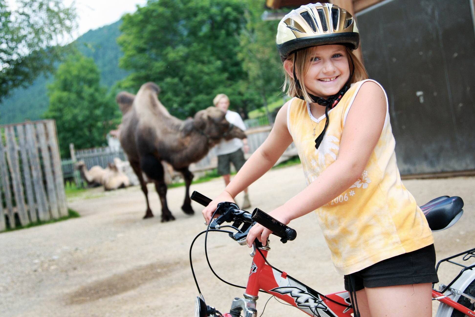
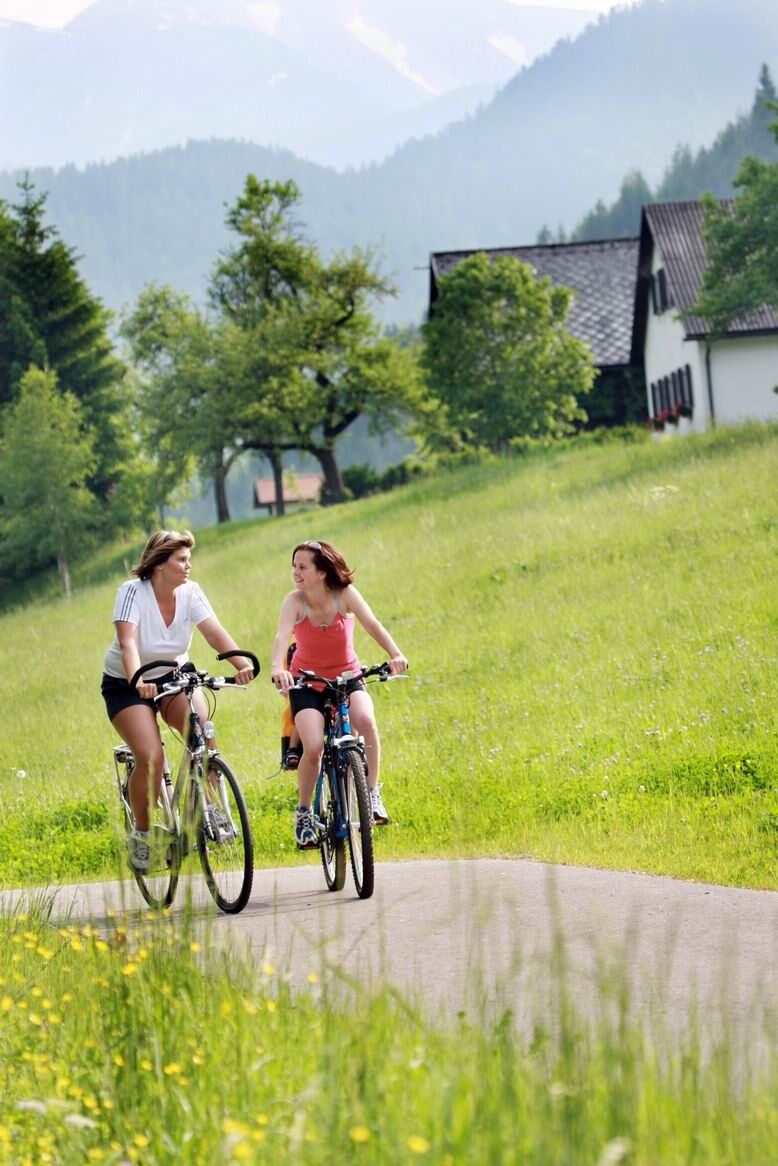
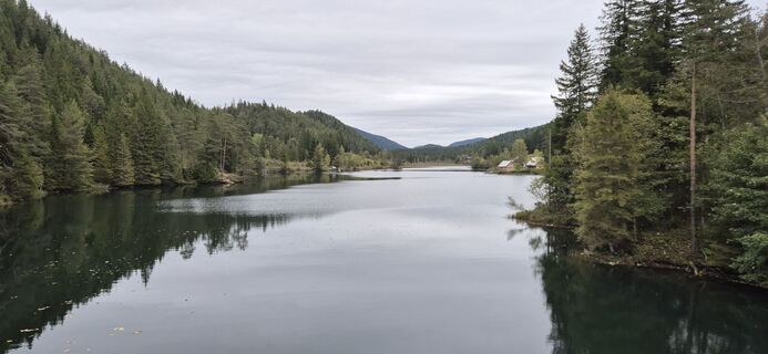
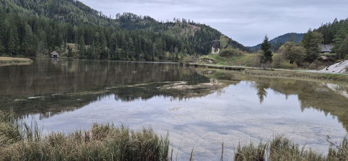
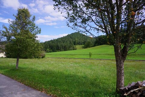
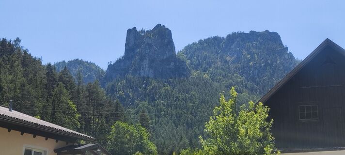
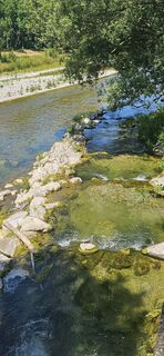
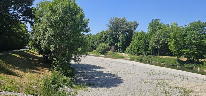
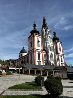
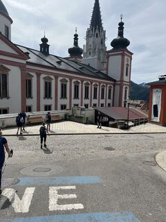
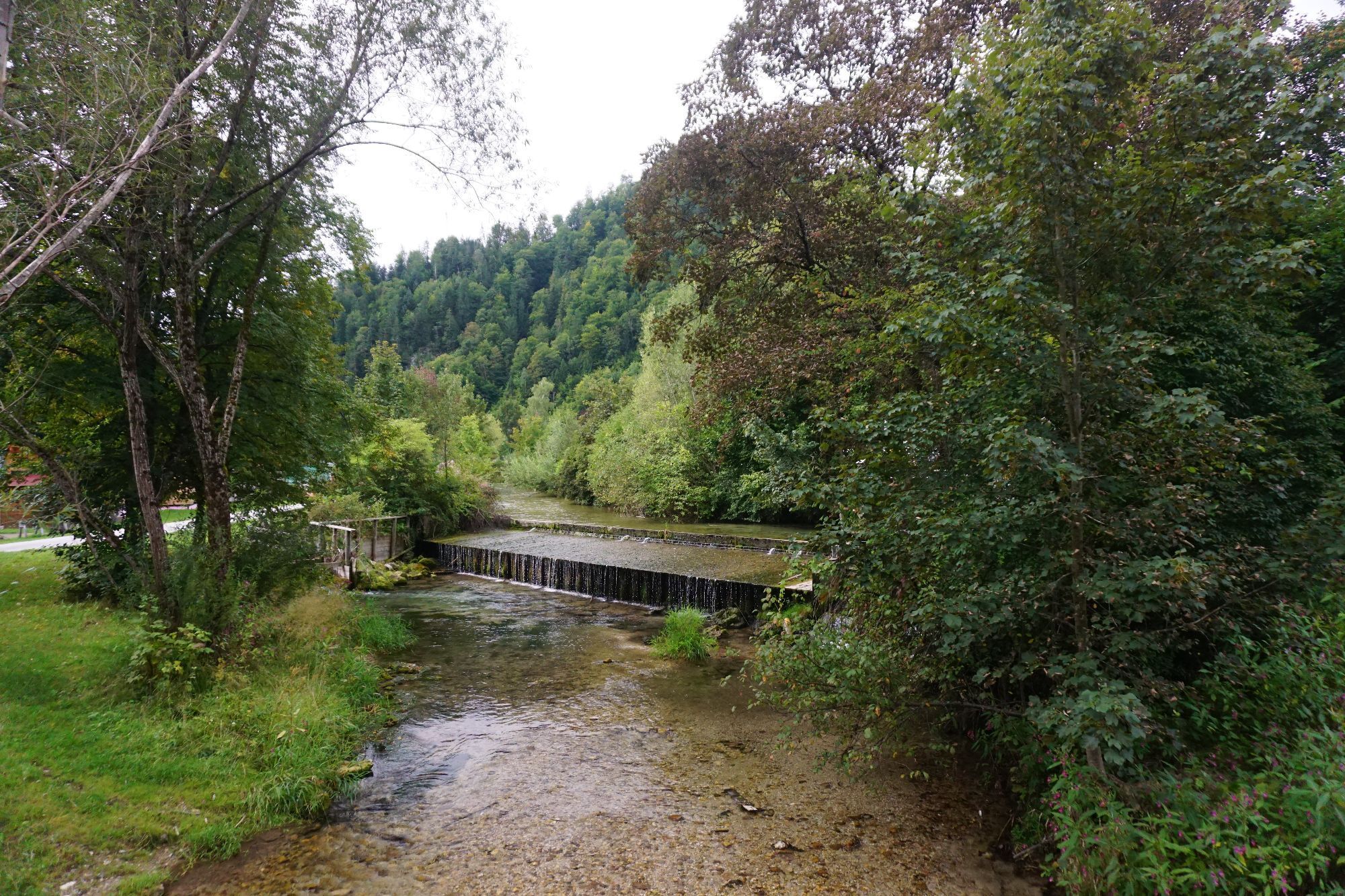
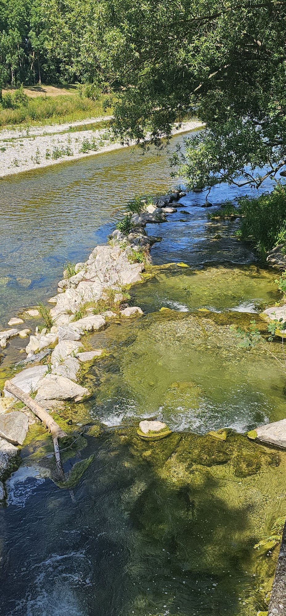
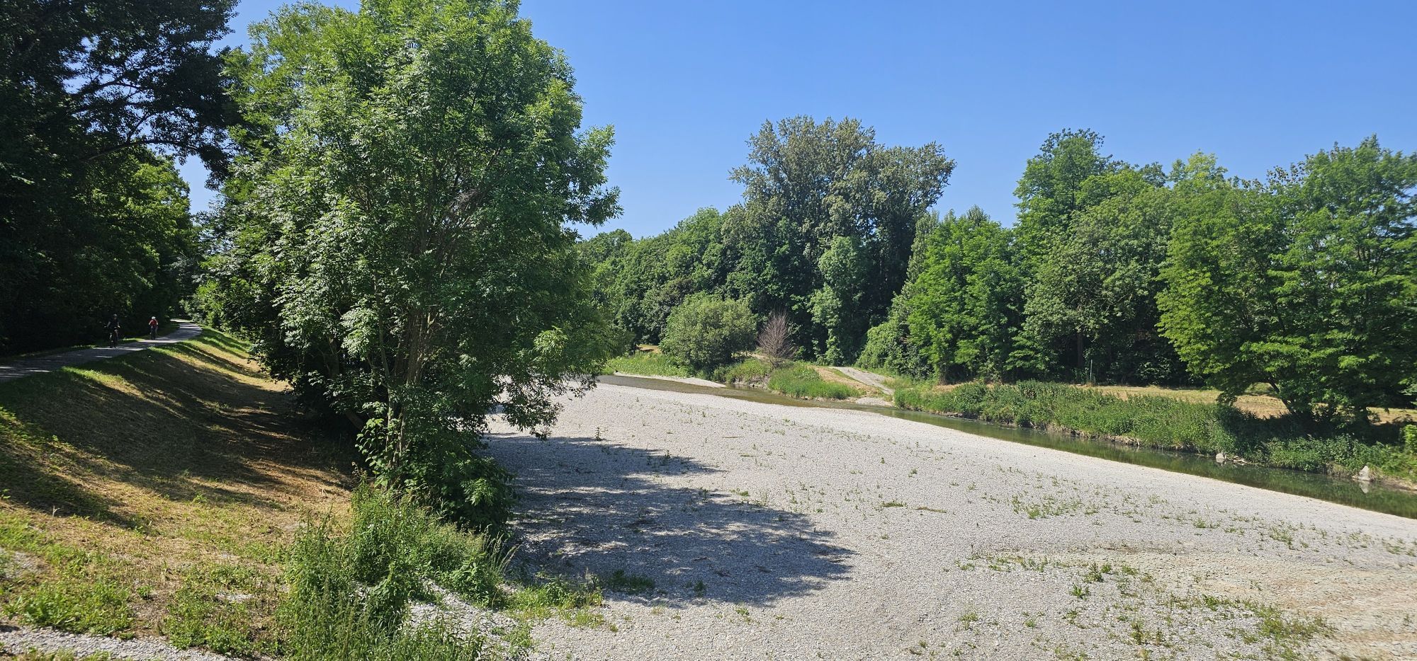
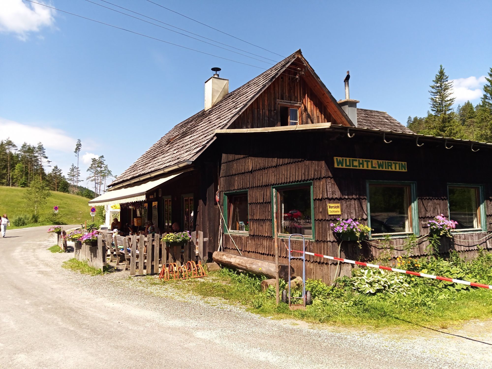
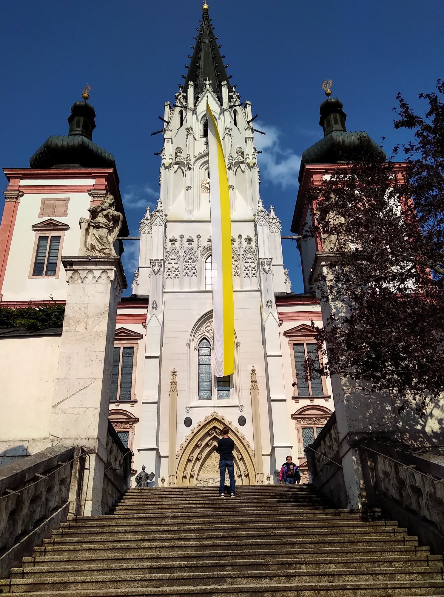
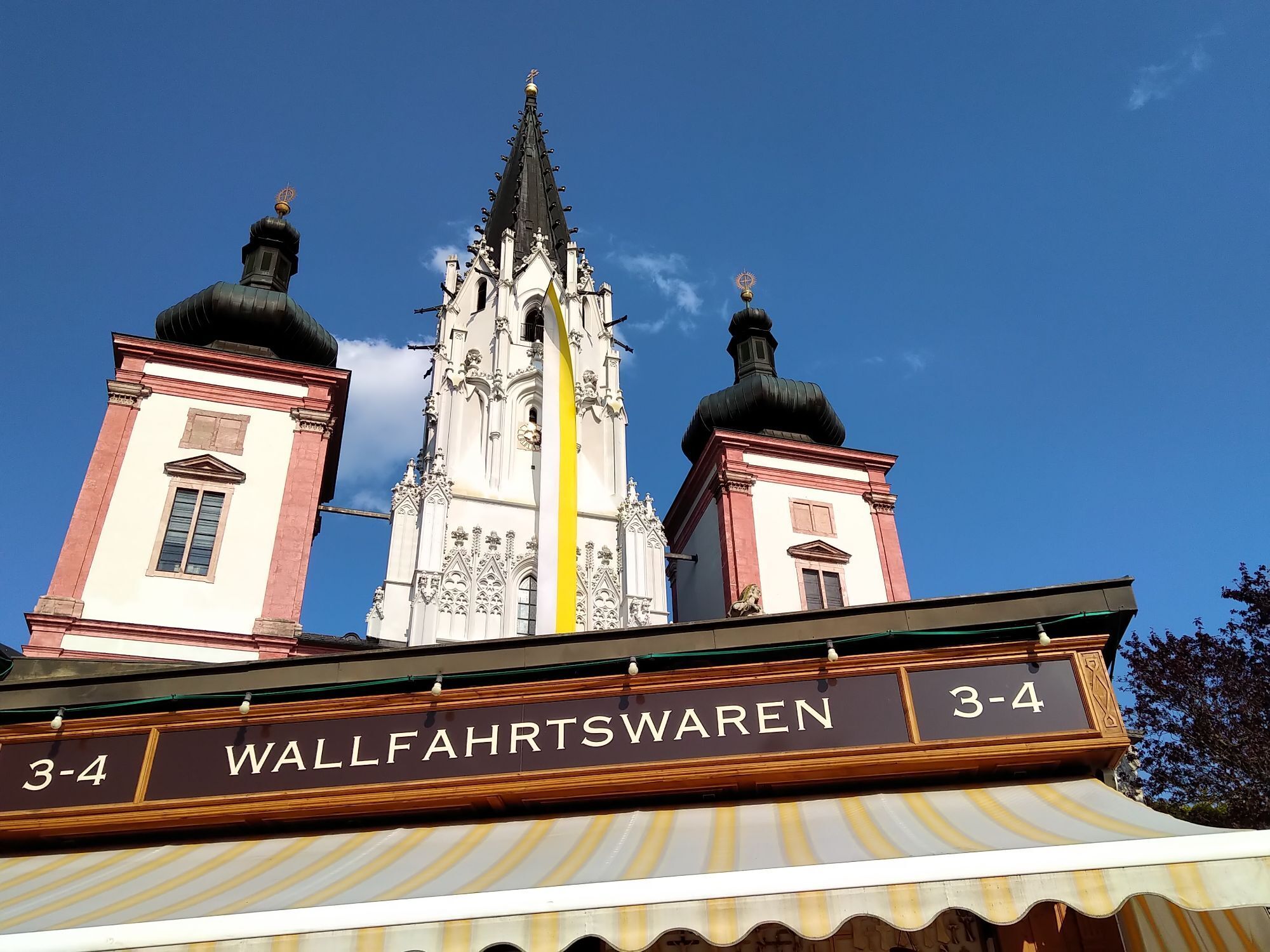
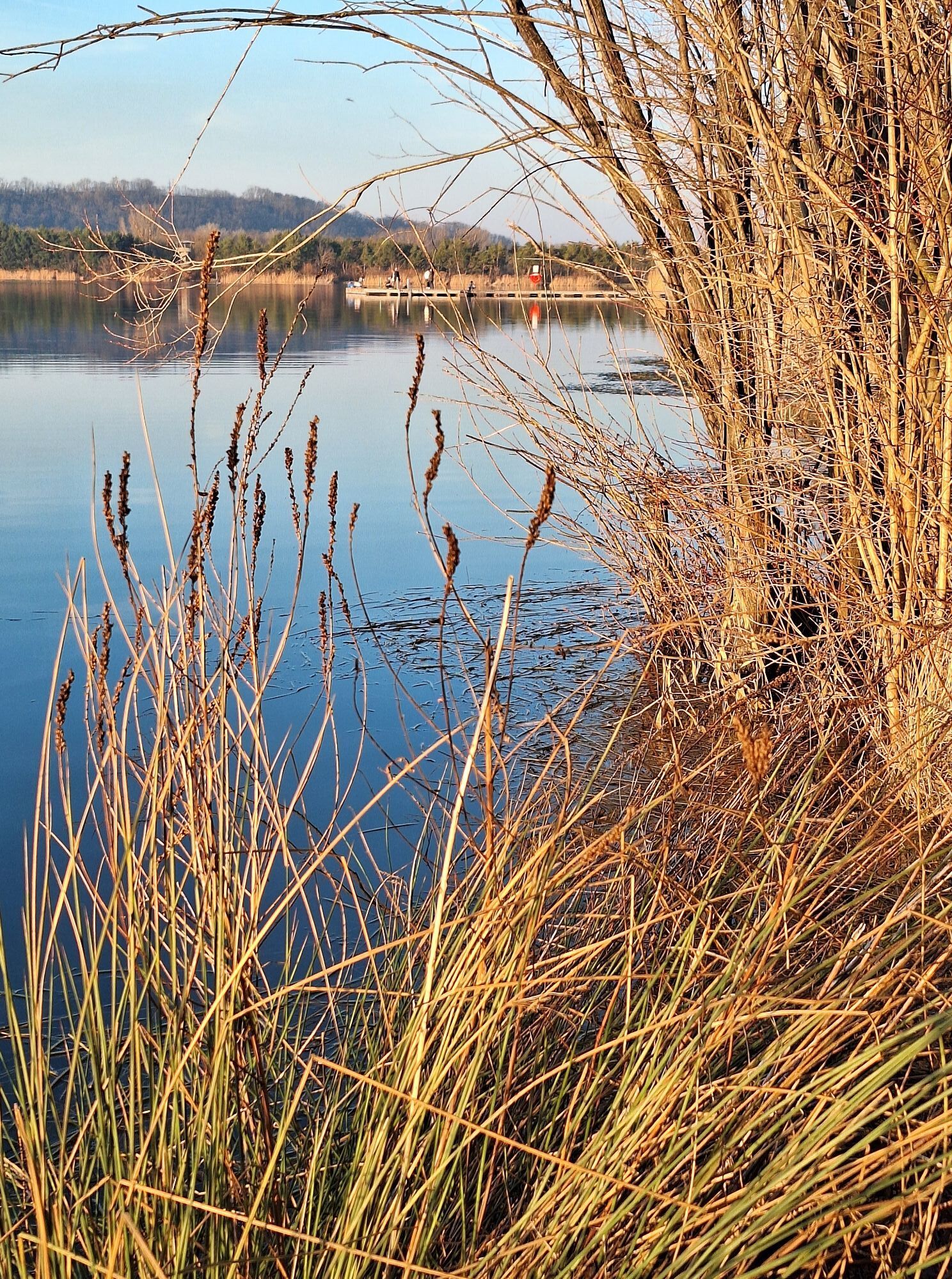
<p><strong>From Traismauer on the Danube to St. Pölten</strong></p><p>From the marine port in Traismauer – conveniently directly connected to the Danube Cycle Path – the Traisental Cycle Path runs along the Traisen to Herzogenburg. In St. Andrä, the path crosses over to the other side via a footbridge. It continues along asphalted riverside paths away from traffic towards St. Pölten.</p><p>There are hardly any significant inclines on the entire section, making the first part of the Traisental Cycle Path a great tip for families with children.</p><p><strong>From St. Pölten to Lilienfeld</strong></p><p>On asphalted riverside paths and quiet side roads, the Traisental Cycle Path leads via Wilhelmsburg to Lilienfeld. There are also no major inclines on this section.<br/> </p><p><strong>From Lilienfeld to St. Aegyd am Neuwalde</strong></p><p>From Lilienfeld, the journey goes along idyllic riverside paths via Hohenberg and some gentle climbs to St. Aegyd/Neuwalde. Approximately 200 meters of elevation need to be overcome on the third section, which is still easy even for young cyclists.</p><p>In Freiland, one of the two source streams of the Traisen (the “Rechttraisen” or “Tü rnitzer Traisen”) disappears from the cyclists' view. From now on, the path follows the Unrechttraisen, which accompanies the cyclists until St. Aegyd.</p><p>Tip: The rail trail to Tü rnitz branches off in Freiland and leads for 9 km through three tunnels along the former railway track.<br/> </p><p><strong>From St. Aegyd am Neuwalde to Mariazell</strong></p><p>The next destination is Kernhof with its camel theater and the “white zoo”. In Kernhof, the most difficult section of the entire cycle path begins: the approximately 4 km long, winding climb to the Gscheid just before the border to Styria. This section is challenging and is therefore walked by some cyclists.</p><p>Once the highest point is reached, the route changes from well-paved paths to a less-traveled country road, which leads over Ulreichsberg, past Hubertussee, and along the Walster finally to the destination, the Mariazell Basilica.</p>
<p>Trekking bike, mountain bike, or city bike are recommended; since the path is continuously asphalted, racing bikes can also be used (please keep a compatible speed!)</p>
<p>Arrival to St. Pölten is by private car via the West Autobahn (A1), to Traismauer via the S33 and the S1.</p>
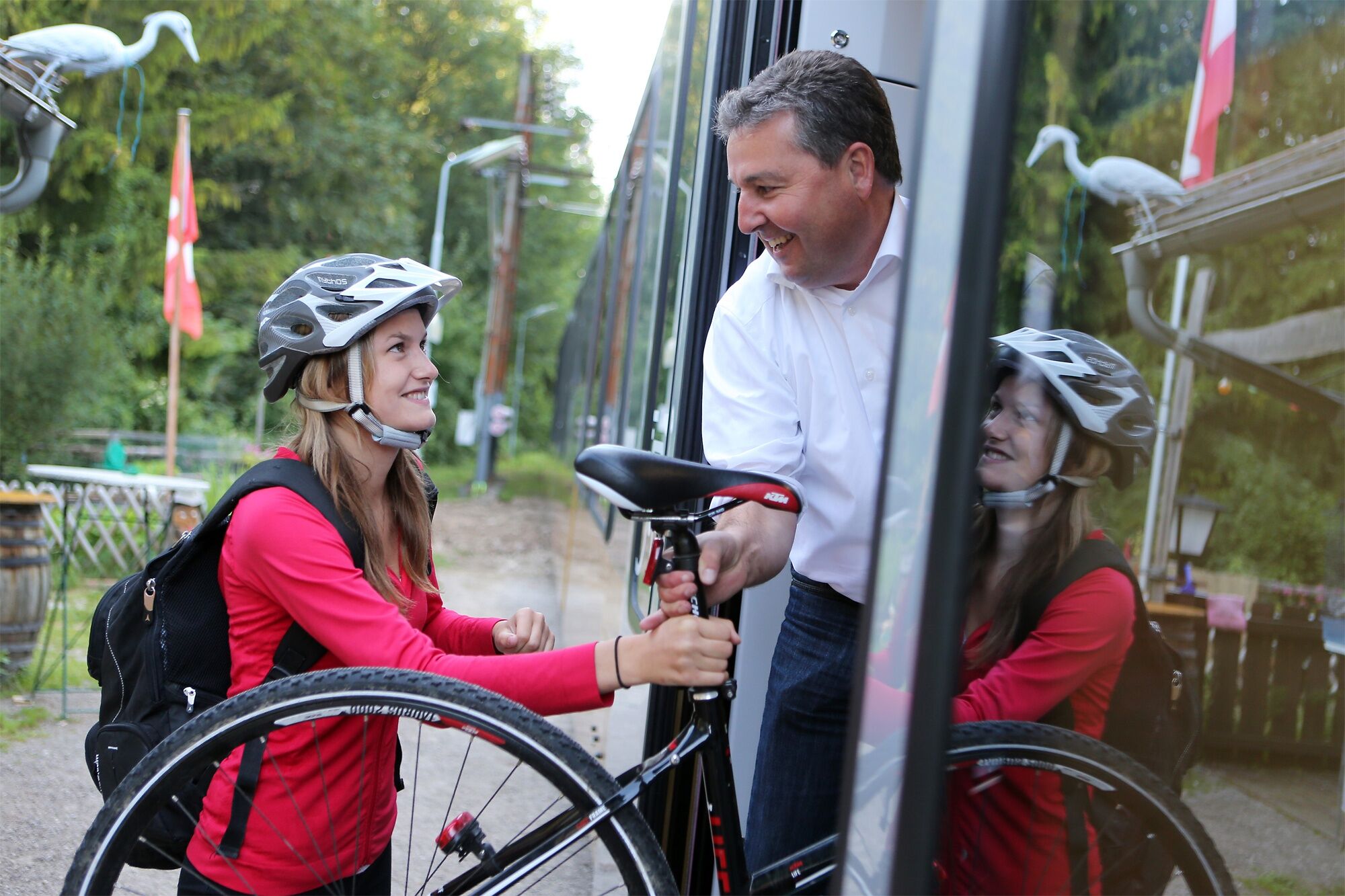
<p><strong>Radtramper Bus:</strong></p><p>The <a href="www.traisentalradweg.at/der-radtrampe... Bus</a> runs from May to October on Saturdays, Sundays, and public holidays, and during the Lower Austrian summer holidays even daily between St. Pölten and Kernhof.</p><p><strong>Mariazell Railway:</strong></p><p>With the <a href="www.traisentalradweg.at/mariazellerba... Railway</a>, the outbound or return journey between St. Pölten and Mariazell can be comfortably covered.</p><p><strong> Traisental Railway:</strong></p><p>From St. Pölten to Lilienfeld, the <a href="www.traisentalradweg.at/traisentalbah... Railway</a> accompanies the cycle path.</p><p> <strong>Train connection St. Pölten - Traismauer (- Vienna):</strong></p><p>All trains (S-Bahn trains) running from St. Pölten via Herzogenburg, Traismauer, and Tulln to Vienna Franz-Josefs-Bahnhof have 10 bicycle spaces. <a href="www.oebb.at">www.oebb.at</...
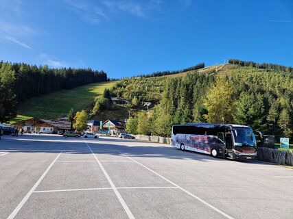
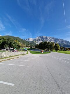
<p>There are several options for parking at the Traisental Cycle Path.</p>
Mostviertel Tourismus GmbH
Töpperschloss Neubruck, Neubruck 2/10, 3270 Scheibbs
T +43/7482/204 44
E office@mostviertel.at
The Traisental Cycle Path available as a package: Wonderful Traisental Cycle Path
Webcams del recorrido
-
Mariazeller Bürgeralpe - Berggasthof
-
Zuckerwiese
-
Sternwarte
-
Mariazell
-
Gemeindealpe Talstation
-
Flugplatz St. Sebastian
-
JUFA Sigmundsberg
-
Traisnerhütte
-
Bürgeralpe - Kristallsee
-
Kernhof - St. Aegyd am Neuwalde
-
Annaberger Haus am Tirolerkogel
-
Kernhof - St. Aegyd am Neuwalde
-
Mariazeller Bürgeralpe - Berggasthof
-
Mariazell
-
Mariazell
-
Feldbauer Mariazell
-
Mitterbach
-
Stapelhaus
-
Staffhütte St. Veit
-
Mariazell - Chalets Monte Styria
-
Hochhaus Rennbahnstraße
-
Hochhaus Rennbahnstraße
-
Hochhaus Rennbahnstraße
-
Hochhaus Rennbahnstraße
-
Hochhaus Rennbahnstraße
-
Hochhaus Rennbahnstraße
-
Obergrafendorf
-
Hauptplatz
-
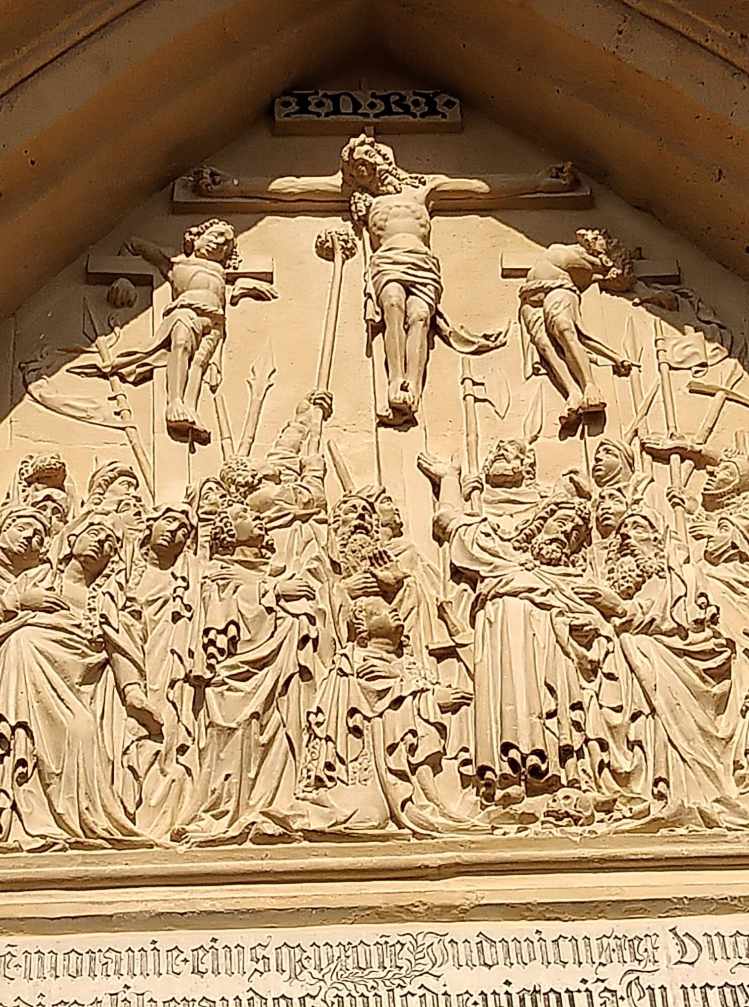
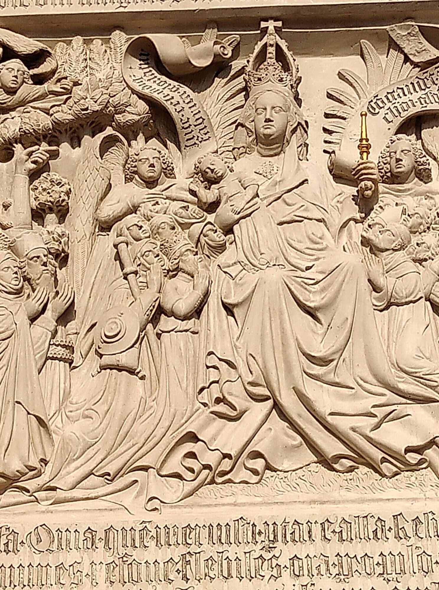
Basilika Mariazell
-
Flugplatz St. Sebastian
-
Zellerhüte - Mariazell
-
Talstation
-
Gscheid/Oberes Traisental
Rutas populares en los alrededores
-
4,9
Hohenstein von Sois
medioSenderismo 12,0 km -
4,8
Türnitz - Eisenstein Türnitz, Niederösterreich
medioSenderismo 15,5 km -
4,8
LILIENFELD Grünes Tor Muckenkogel Hinteralm Klosteralm 20201025
medioSenderismo 11,7 km -
4,6
Eisenstein Rundweg von Türnitz-Knedelhof
luzSenderismo 10,2 km -
4,4
Kaiserkogel mit Start und Ziel in Eschenau
luzSenderismo 10,2 km -
4,4
Hohenstein 1195m - Sois im Pielachtal
luzSenderismo 10,6 km -
4,5
Rundweg Ochsenburgerhütte
luzSenderismo 7,60 km -
5,0
Gutensteiner Alpen: Ebenwaldhöhe - Reisalpe
luzSenderismo 4,70 km -
4,1
Hochstaff und Reisalpe
luzSenderismo 10,8 km -
4,2
Hainfelder Hütte: Schöner Rundkurs abseits der Massen
luzSenderismo 10,1 km

Senderismo y rastreo


No se pierda las ofertas y la inspiración para sus próximas vacaciones
Su dirección de correo electrónico se ha añadido a la lista de correo.