






"Falkertweg"
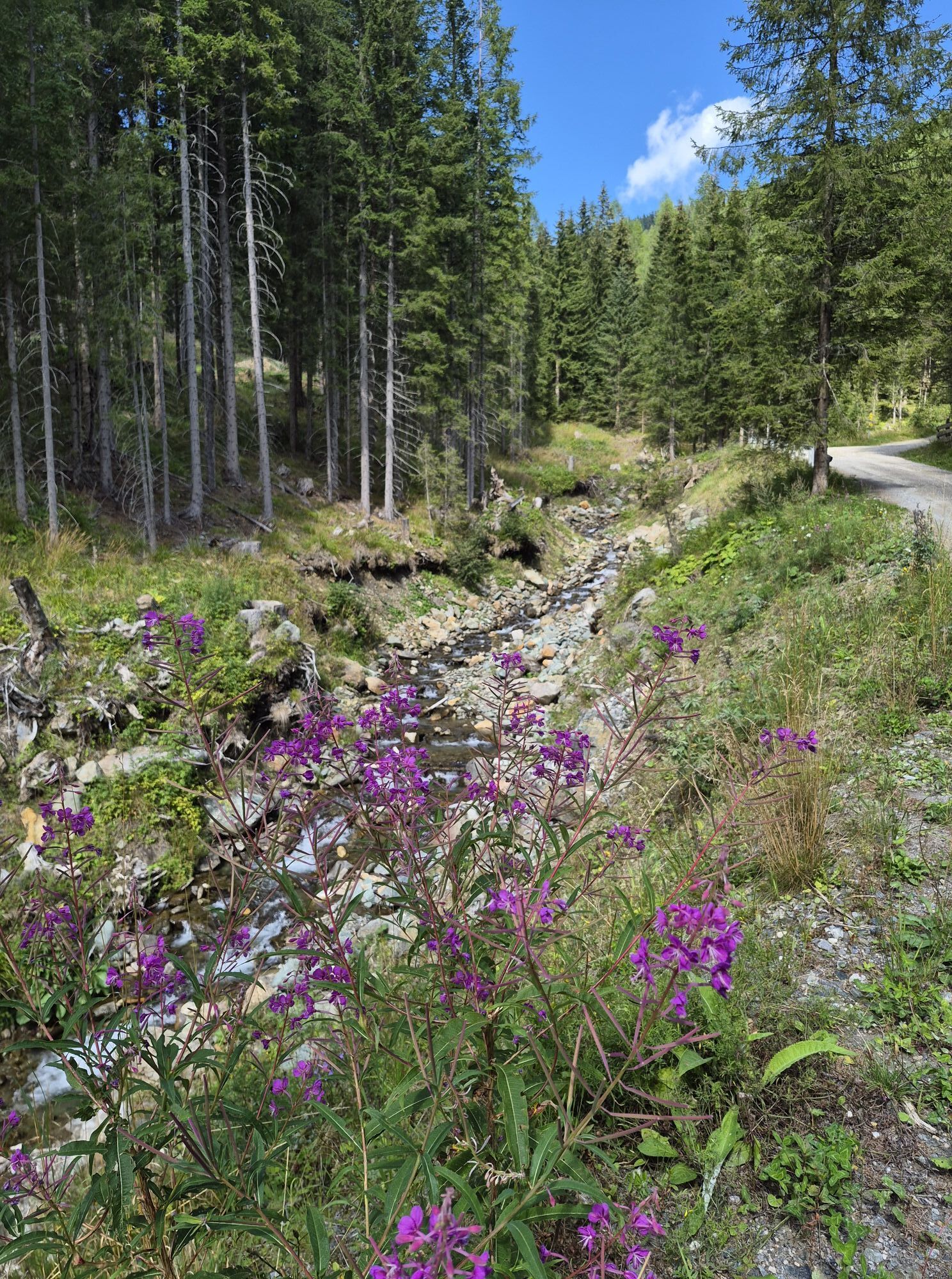
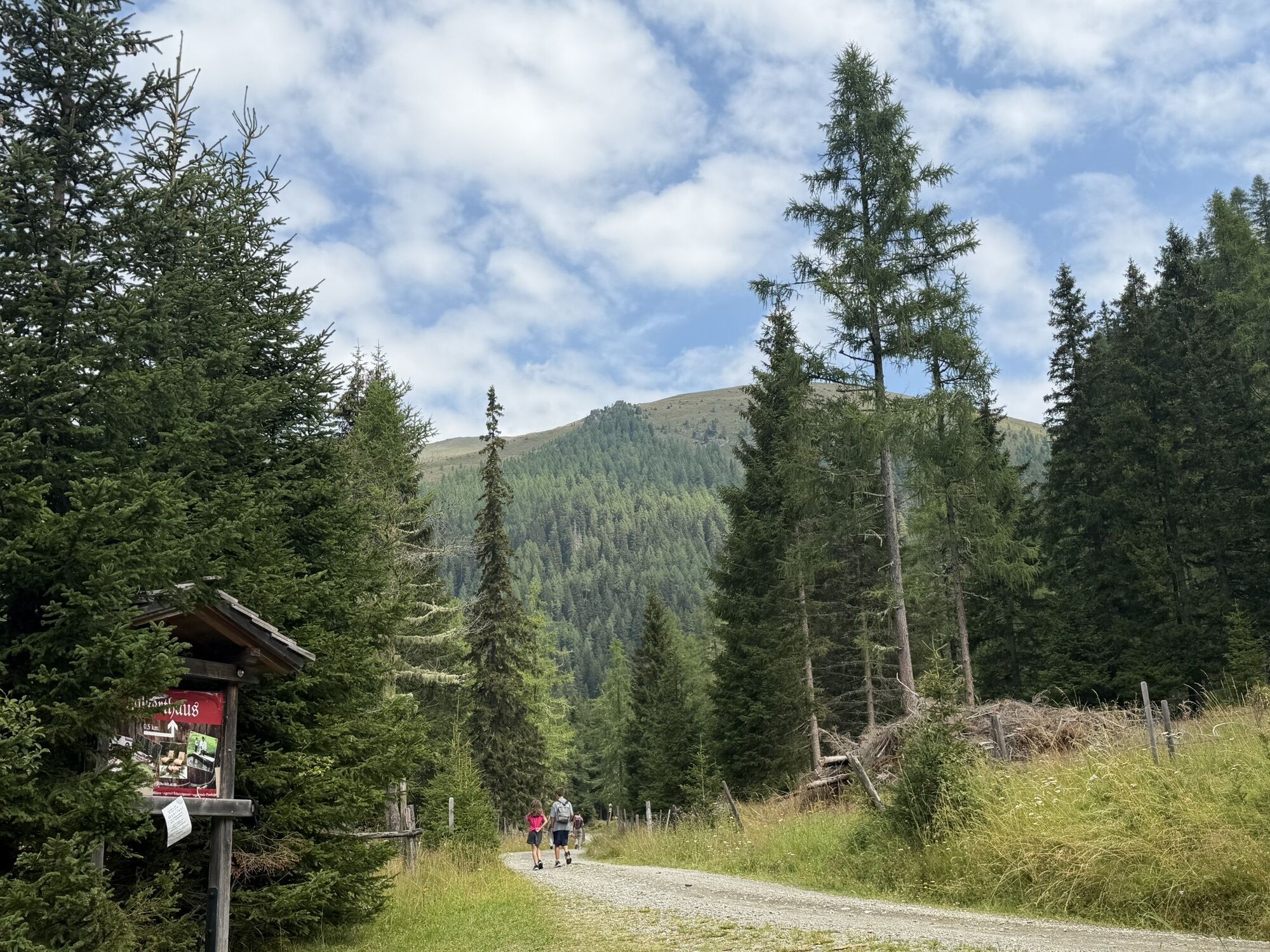
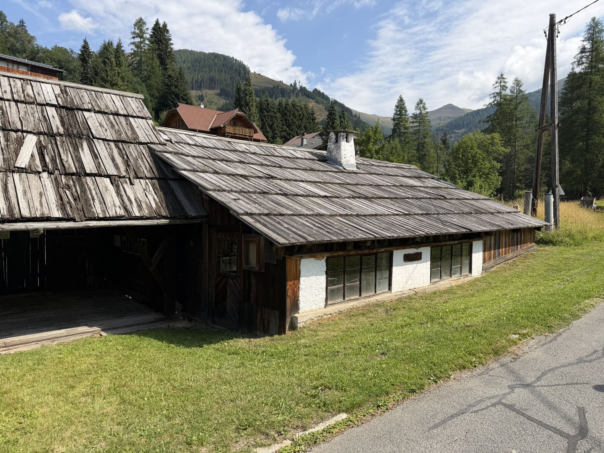
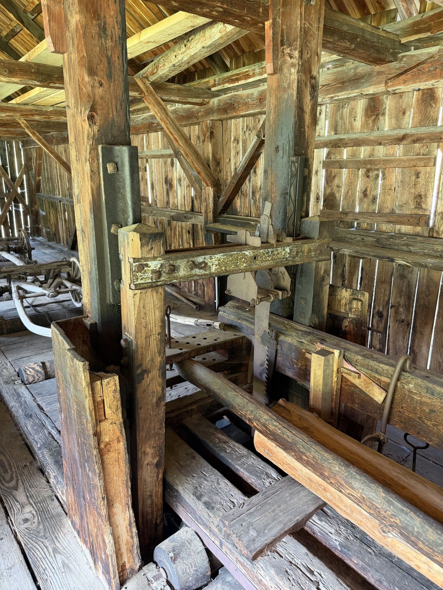
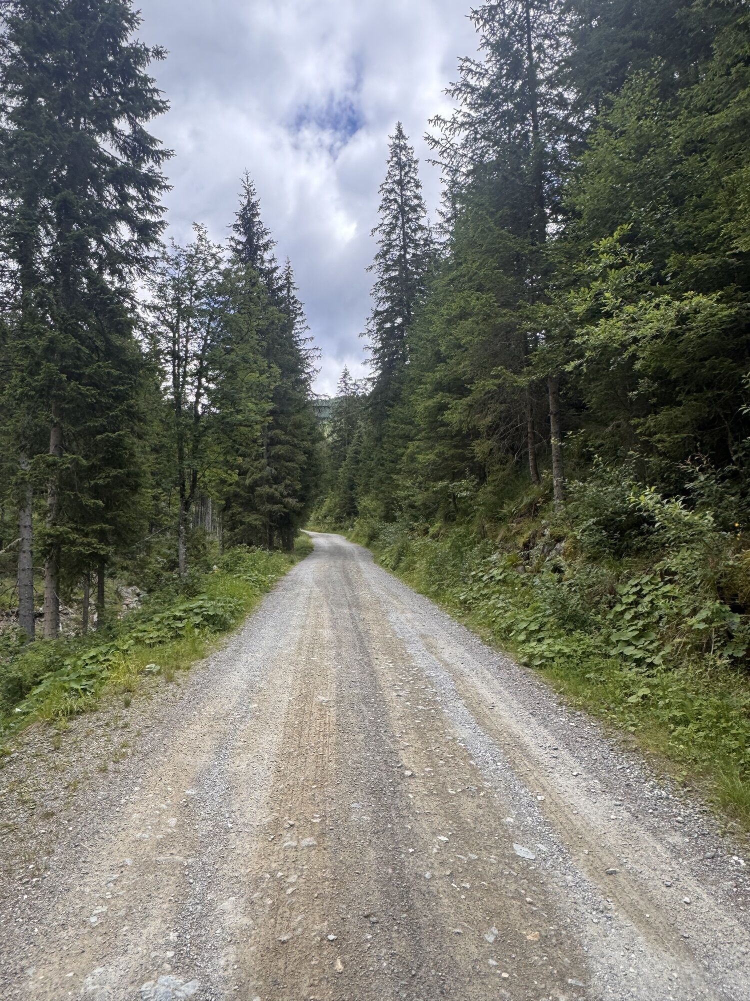
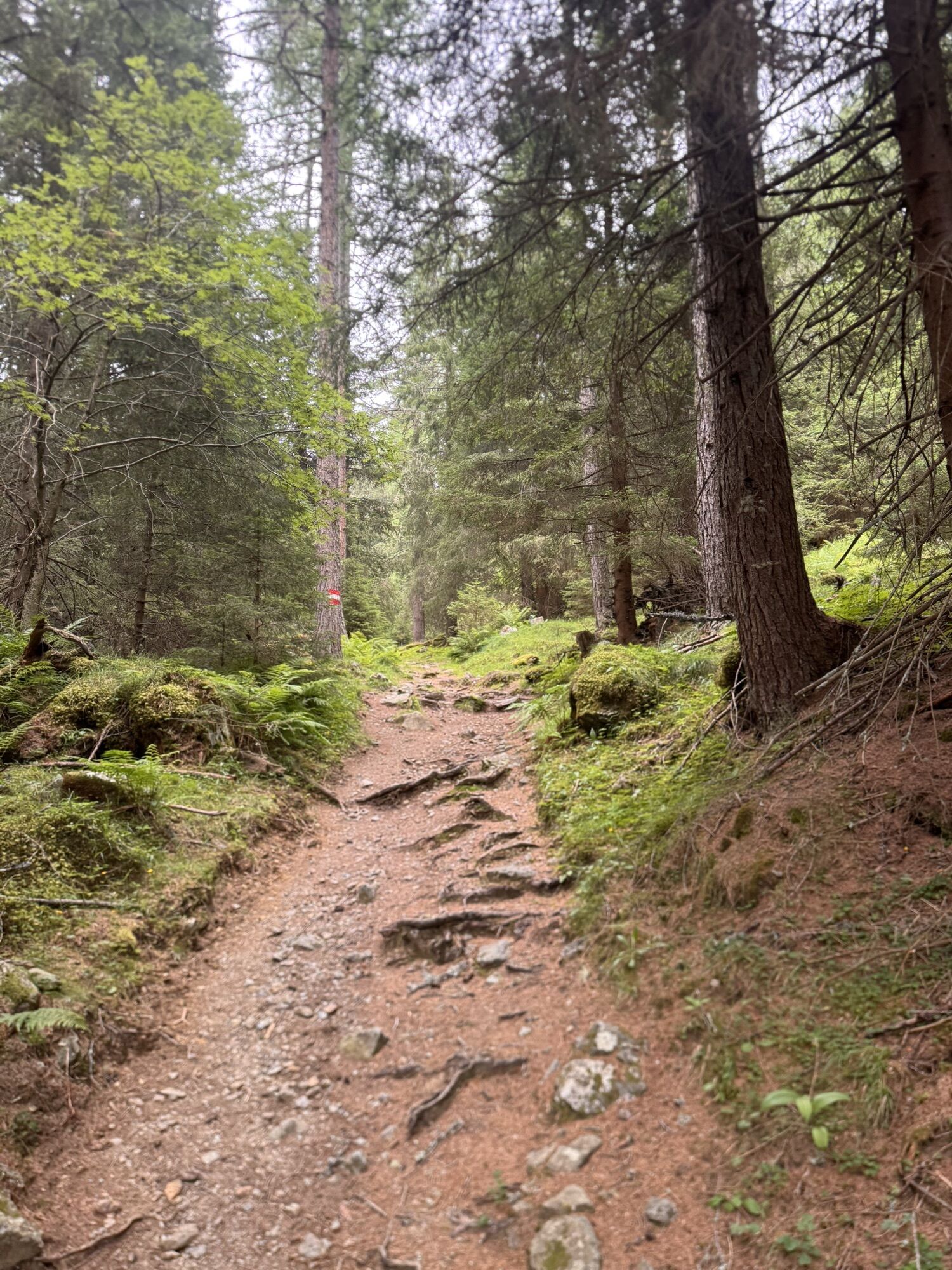
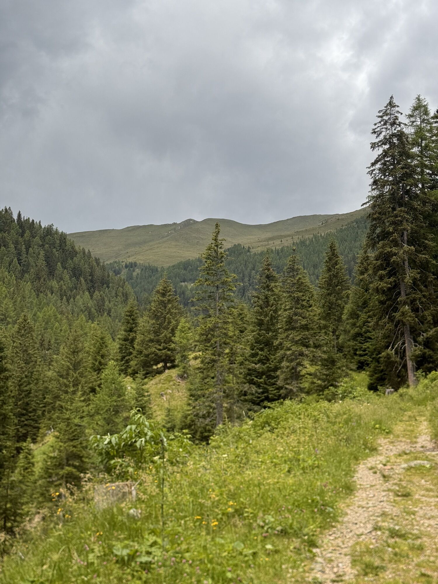
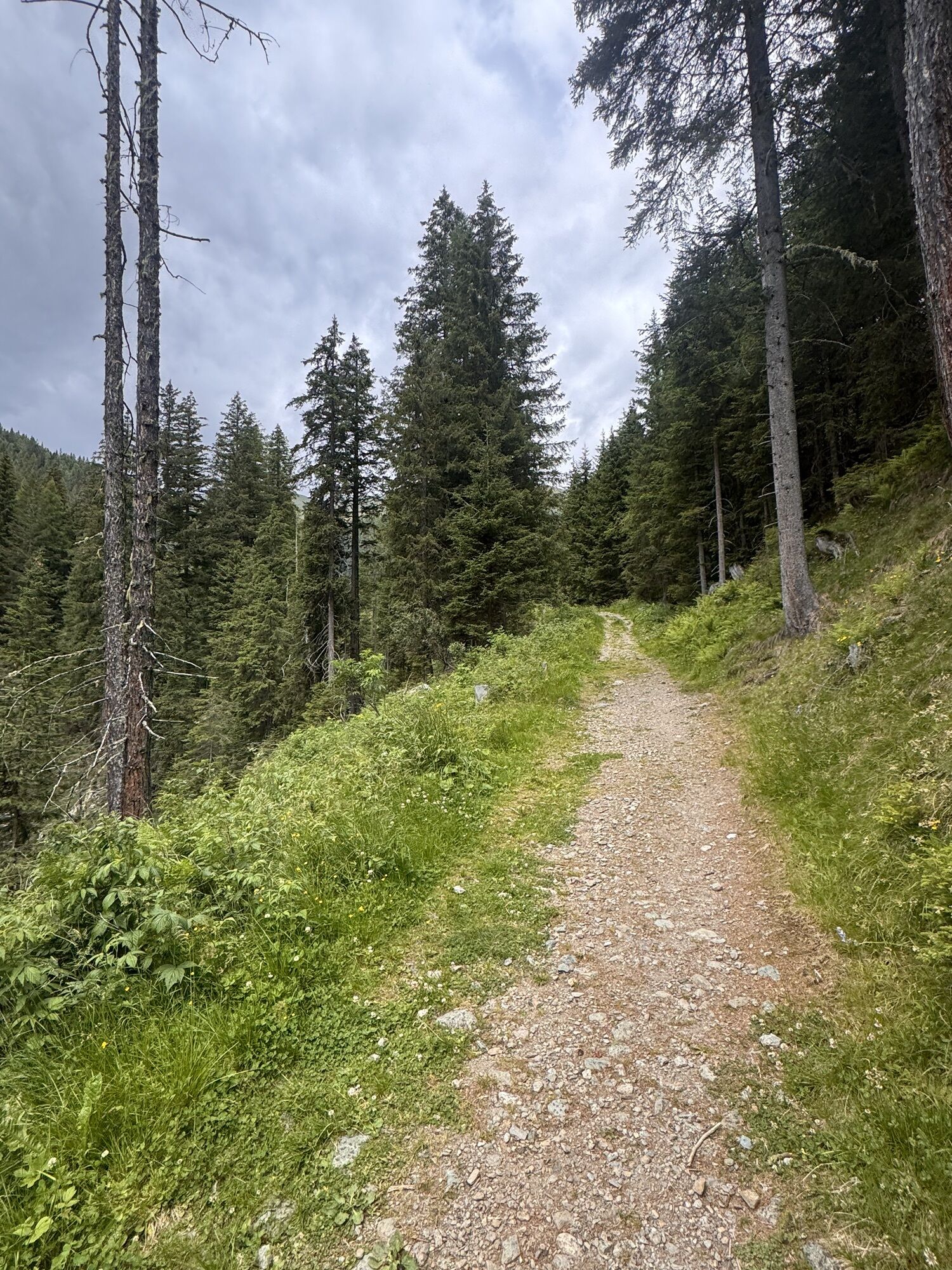
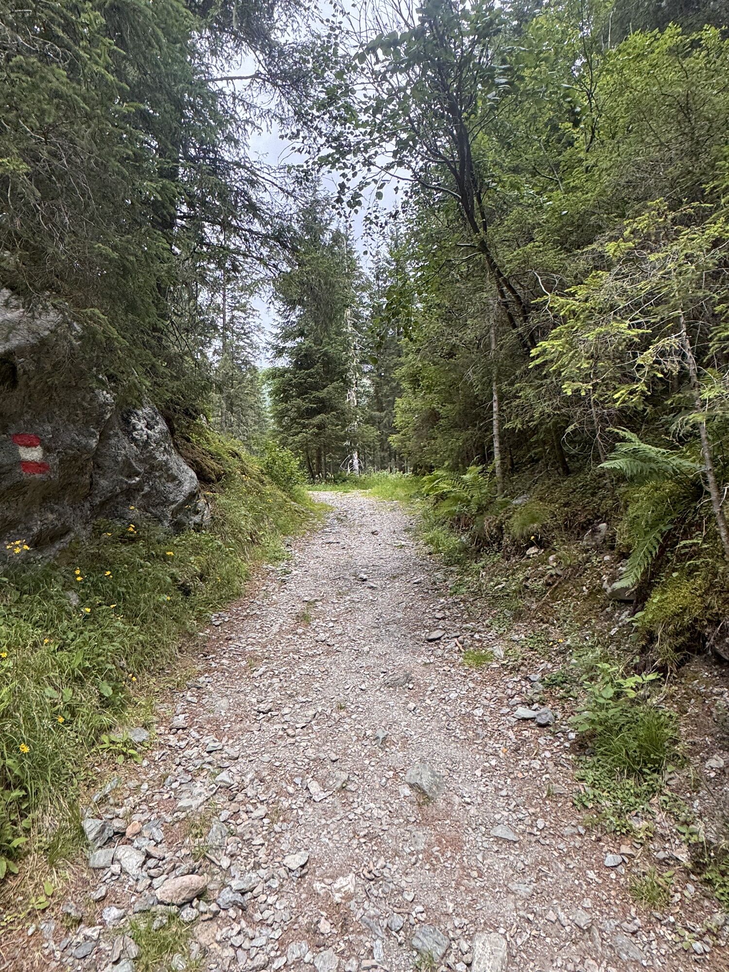
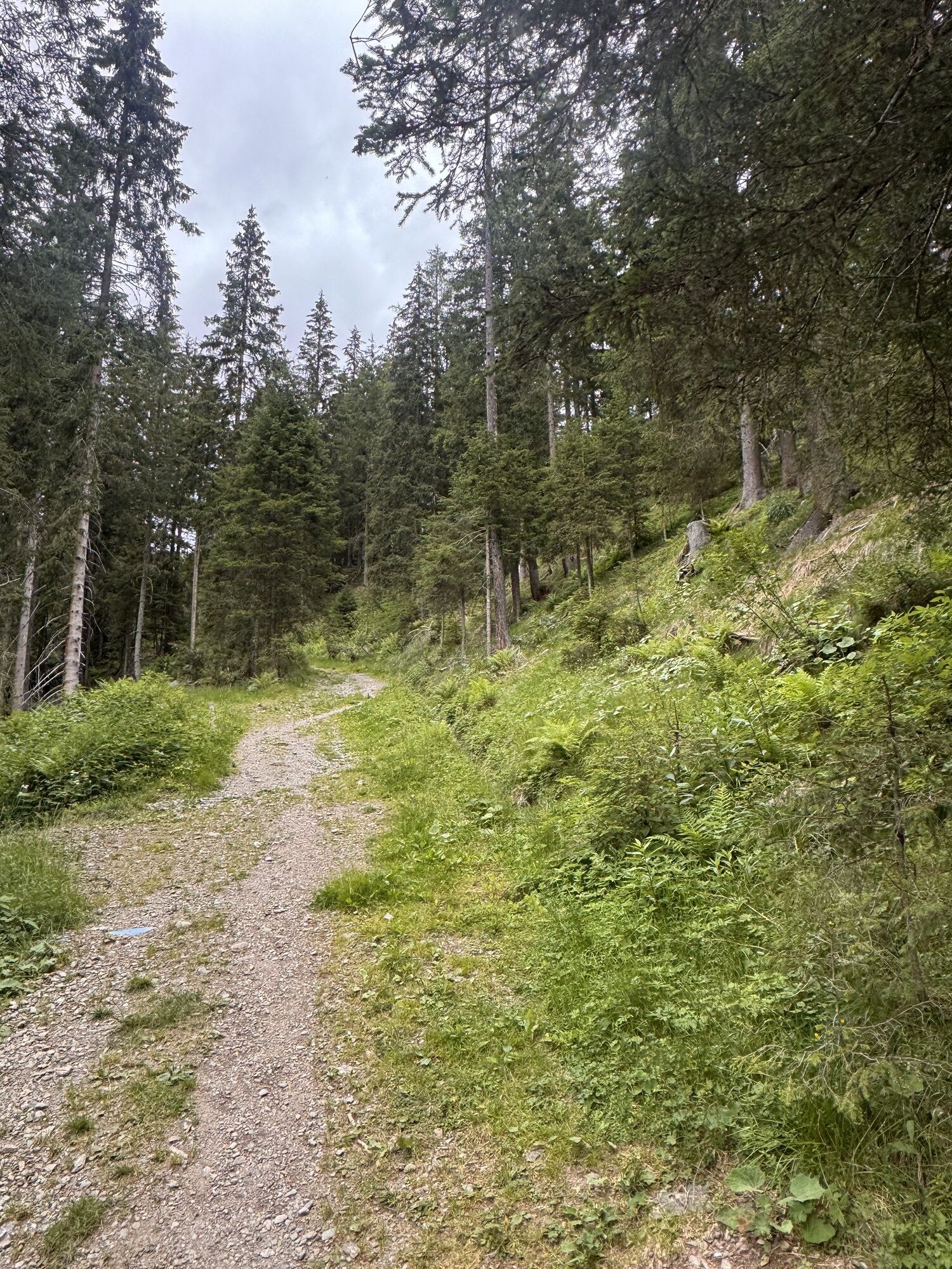
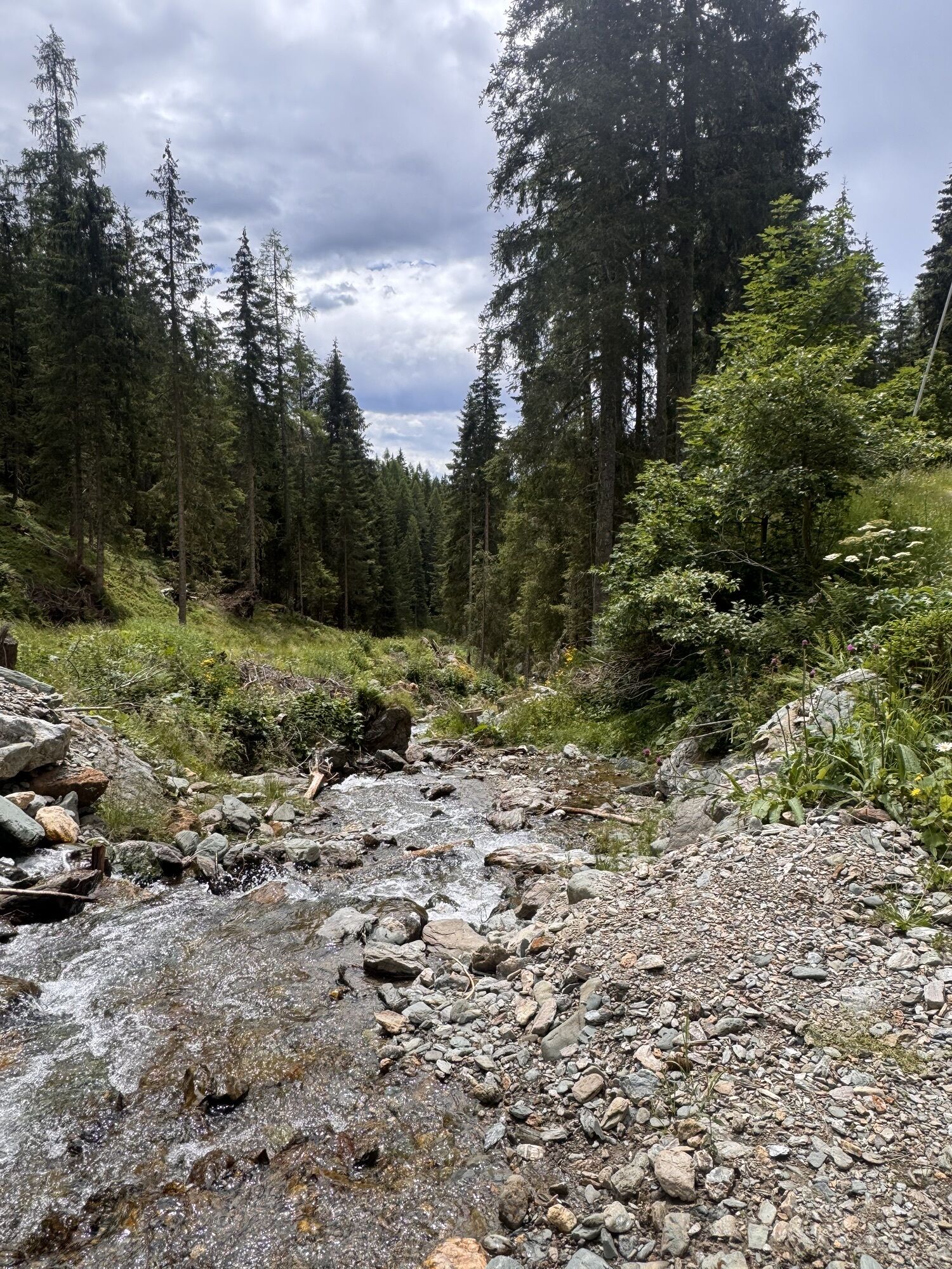
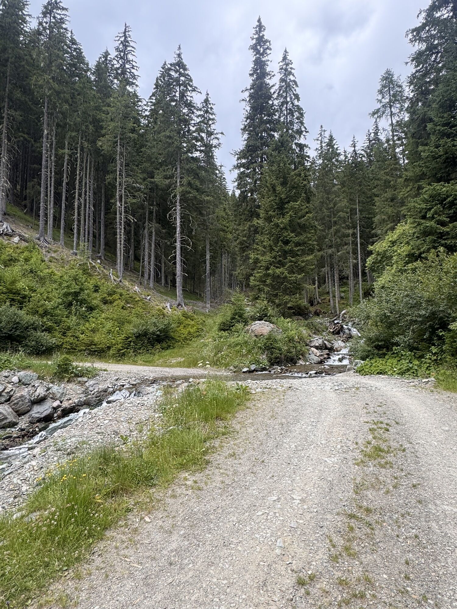
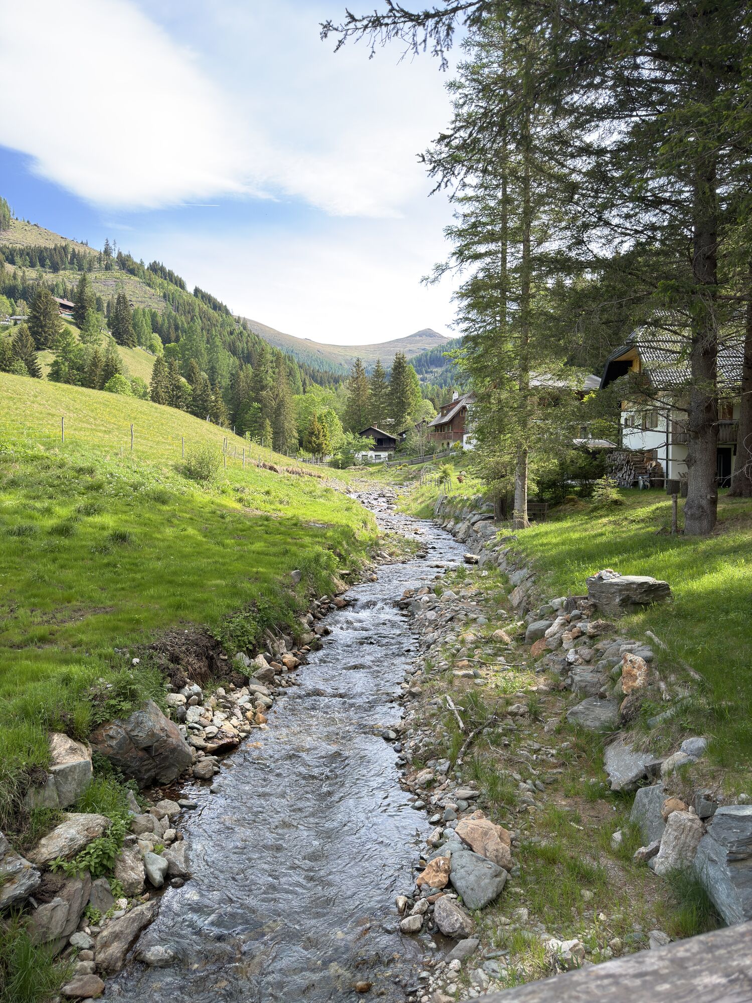

From the holiday village of Kirchleitn via the Falkerthaus to the Lärchenhütte, you can enjoy the tranquillity of the forest and the romance of the Nockberge mountains. Possibility to toboggan back to...
From the holiday village of Kirchleitn via the Falkerthaus to the Lärchenhütte, you can enjoy the tranquillity of the forest and the romance of the Nockberge mountains. Possibility to toboggan back to the starting point from Falkerthaus or Lärchenhütte.
Toboggan run is not lit!
No liability!
Use at your own risk!
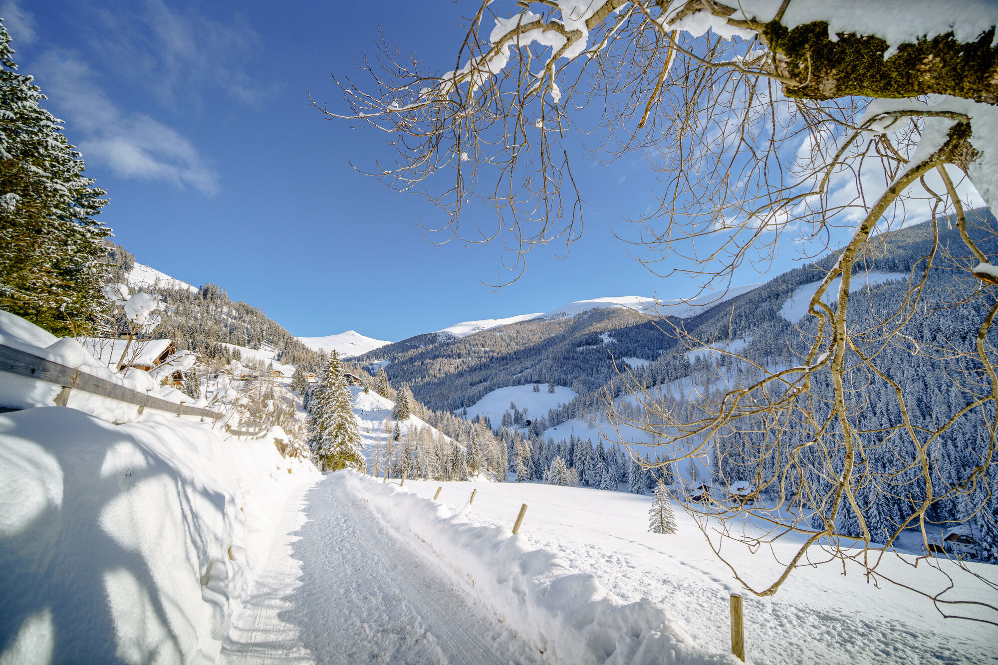


Falkerthaus or Lärchenhütte
Good shoes, warm clothes, sledges and a helmet!
Toboggan run is not lit! No liability! Use at your own risk!
With the car or the Ski-Thermen-Bus to the parking lot of the Biosphärenparkbahn Brunnach (opposite of the holiday village of Kirchleitn)
Free Ski-Thermen-Bus
Parking lot of the Biosphärenparkbahn Brunnach (opposite of the holiday village of Kirchleitn)
 Infórmate
Siempre en directo con más de 9.500 webcams. bergfex Como usuario Pro, ahora puede ver las webcams correspondientes a muchos tours en la app de tours desde. Esto le permite ver las condiciones actuales directamente.
Infórmate
Siempre en directo con más de 9.500 webcams. bergfex Como usuario Pro, ahora puede ver las webcams correspondientes a muchos tours en la app de tours desde. Esto le permite ver las condiciones actuales directamente.
Actividades a lo largo del recorrido
-

Bad Kleinkirchheim, Kärnten/Österreich
13.02.2026 – Senderismo de montaña -

Bad Kleinkirchheim, Kärnten/Österreich
08.02.2026 – Esquí de travesía -
Bad Kleinkirchheim, Kärnten/Österreich
08.02.2026 – Esquí de travesía -
Bad Kleinkirchheim, Kärnten/Österreich
31.01.2026 – Esquí de travesía -
Bad Kleinkirchheim, Kärnten/Österreich
18.01.2026 – Senderismo -
Bad Kleinkirchheim, Kärnten/Österreich
23.10.2025 – Senderismo
Rutas populares en los alrededores
-
4,6
Turracher 3 Seen Weg - Weg der Sinne zwischen Berg & See
luzSendero temático 7,15 km -
4,9
Schönfeld: Großer Königstuhl
medioSenderismo 11,2 km -
4,8
Schoberriegel - Schönebennock -
luzSenderismo 9,88 km -
4,8
Ruta Enzian-Granatsteig y Almbrunnsteig
luzSenderismo 8 km -
4,9
Gr. Königsstuhl, Nockalm, Kärnten
medioSenderismo de montaña 7,15 km -
4,9
Nockbergrundwanderweg
medioSenderismo 6,62 km -
4,8
Lammersdorfer Hütte, Granattor Runde
luzSenderismo 9,85 km -
4,8
H-2-O Höhenweg
luzSendero temático 5,40 km -
4,6
Falkertsee - Sonntagstal - Falkert
medioSenderismo 4,84 km -
4,7
Große Rosennock Runde
Senderismo 9,80 km
Senderismo y rastreo


No se pierda las ofertas y la inspiración para sus próximas vacaciones
Su dirección de correo electrónico se ha añadido a la lista de correo.





