


Schönfeld: Großer Königstuhl
Fotos de nuestros usuarios
-
 © Stefan Müller 22Creado el 21.09.2025
 -
 © kanaufCreado el 20.09.2025
 -
 © kanaufCreado el 20.09.2025
 -

 © MarioCreado el 25.08.2025
 -
 © MarioCreado el 25.08.2025
 -
 © MarioCreado el 25.08.2025
 -

 © Hannes GelterCreado el 13.06.2025
 -
 © Hannes GelterCreado el 13.06.2025
 -
 © Hannes GelterCreado el 13.06.2025
 -

 © MarkusCreado el 25.05.2025
 -
 © MarkusCreado el 25.05.2025
 -
 © Astrid MaritschnigCreado el 08.10.2022
 -
 © Astrid MaritschnigCreado el 08.10.2022
 -
 © Astrid MaritschnigCreado el 08.10.2022
 -
 © Peter Hofbauer 3Creado el 14.01.2026
 -
 © Peter Hofbauer 3Creado el 14.01.2026
 -

 © Klaus GrambichlerCreado el 01.05.2025
 -
 © Klaus GrambichlerCreado el 01.05.2025
 -
 © Klaus GrambichlerCreado el 01.05.2025
 -
 © Angelika UnterrainerCreado el 18.02.2025
 -

 © Arnulf MüllerCreado el 19.01.2025
 -
 © Arnulf MüllerCreado el 19.01.2025
 -
 © Arnulf MüllerCreado el 19.01.2025
 -
 © Arnulf MüllerCreado el 19.01.2025
 -
 © Arnulf MüllerCreado el 19.01.2025
 -
 © Arnulf MüllerCreado el 19.01.2025
 -
 © Arnulf MüllerCreado el 19.01.2025
 -
 © Arnulf MüllerCreado el 19.01.2025
 -
 © Arnulf MüllerCreado el 19.01.2025
 -
 © Arnulf MüllerCreado el 19.01.2025
 -
 © Arnulf MüllerCreado el 19.01.2025
 -
 © Arnulf MüllerCreado el 19.01.2025
 -
 © Arnulf MüllerCreado el 19.01.2025
 -
 © Toni_LangCreado el 07.02.2024
 -
 © Toni_LangCreado el 07.02.2024


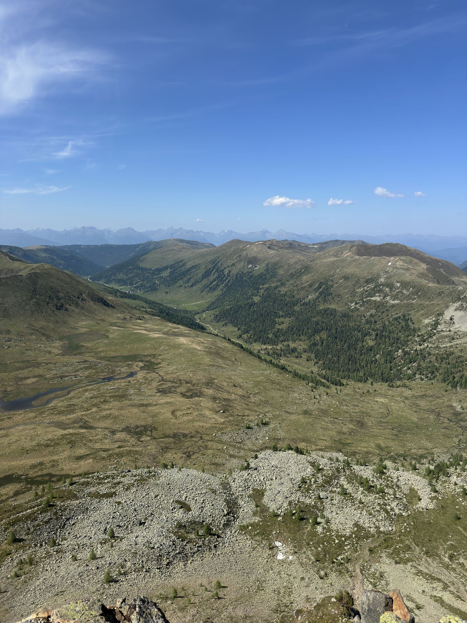


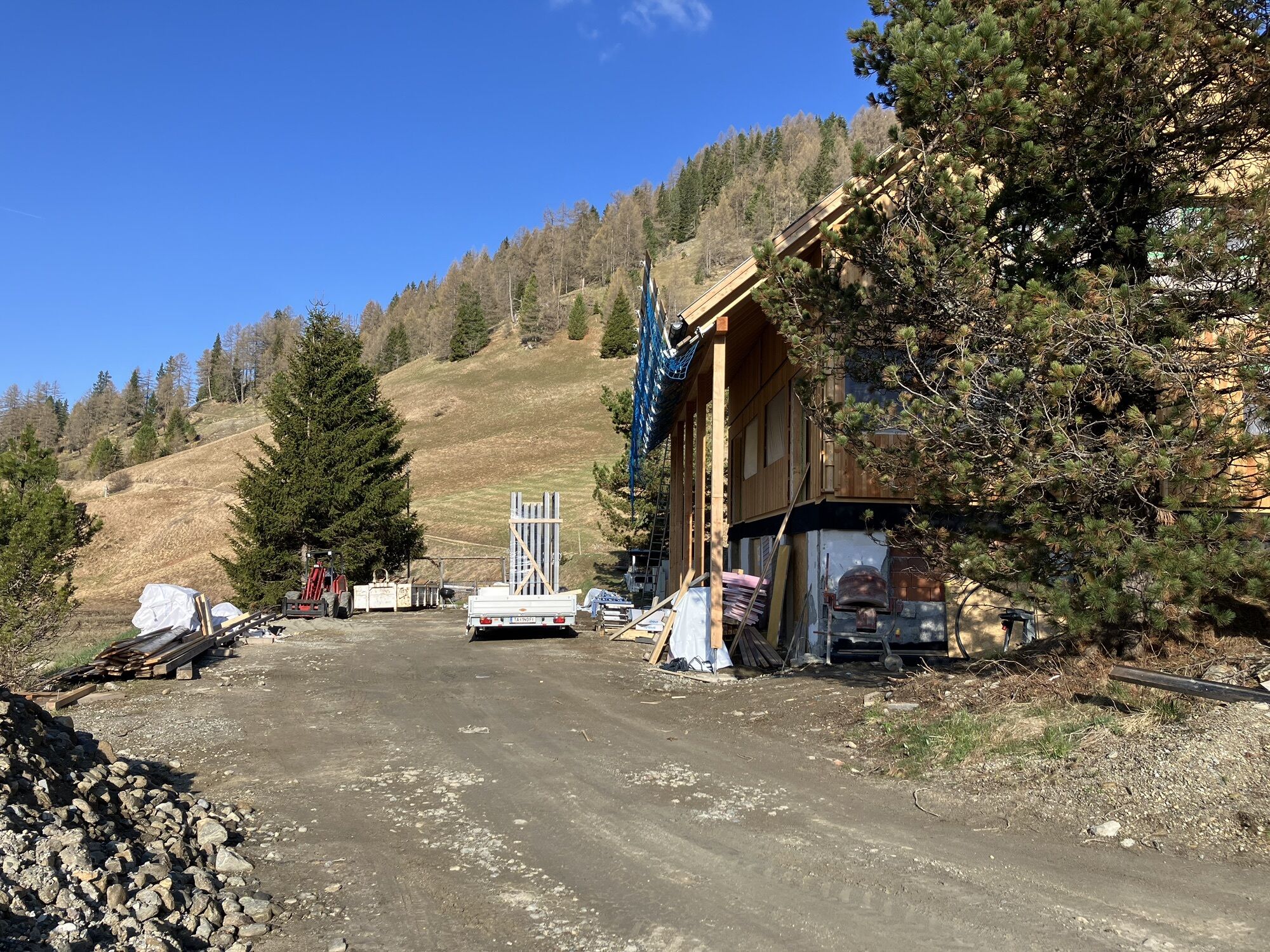


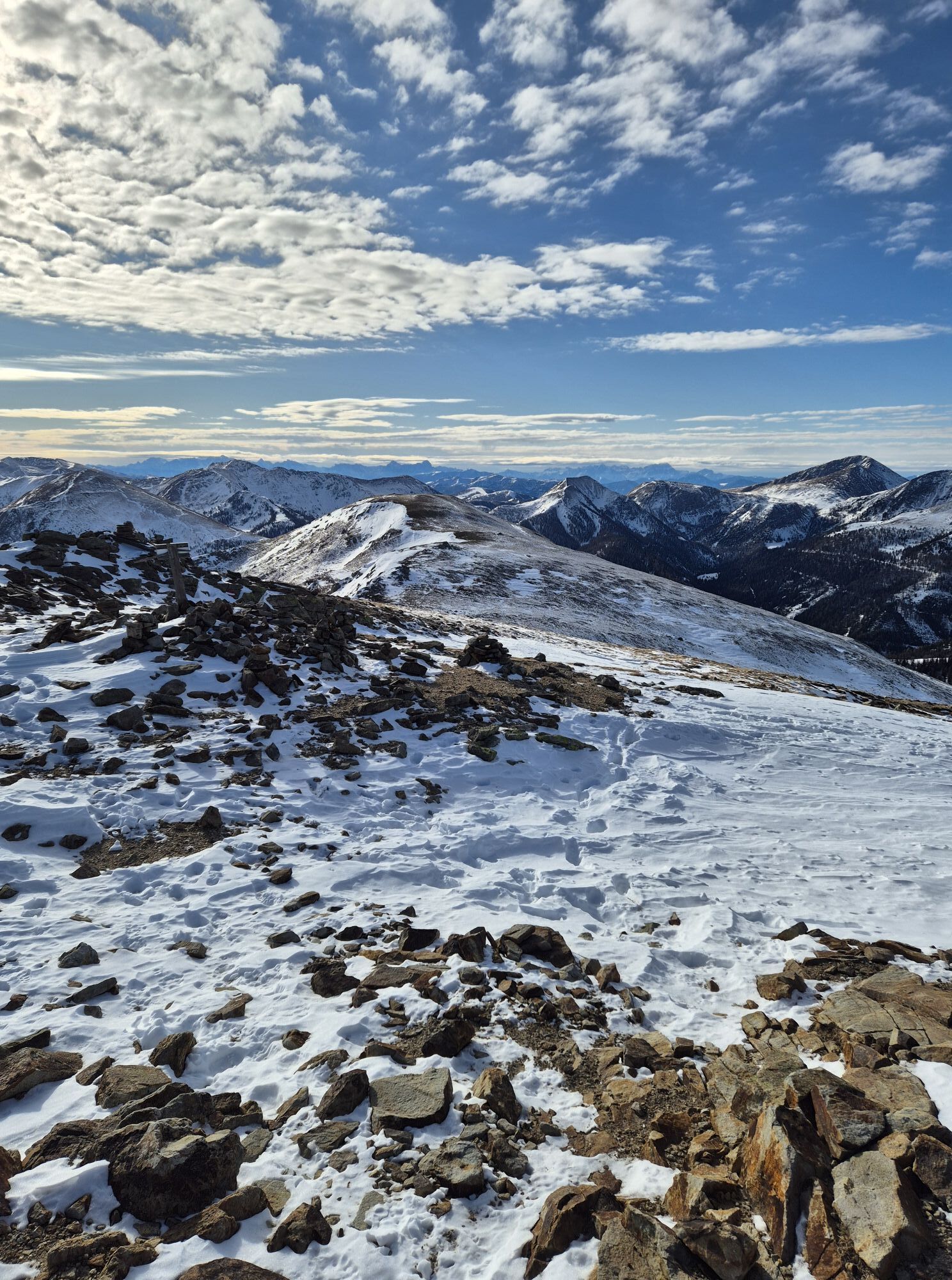
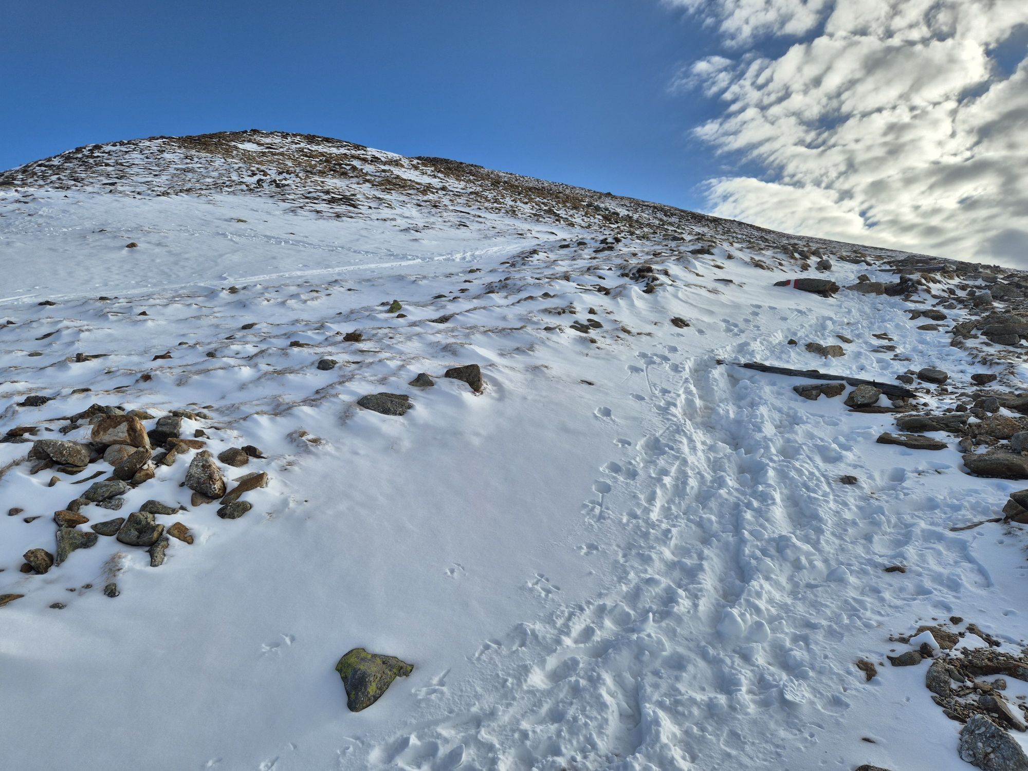
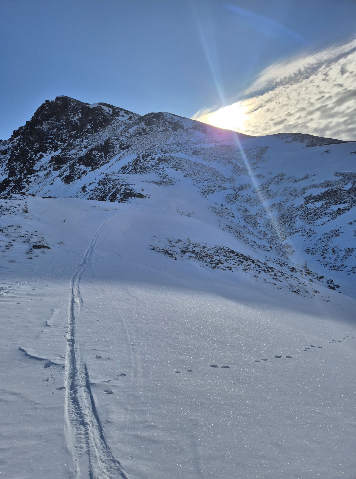
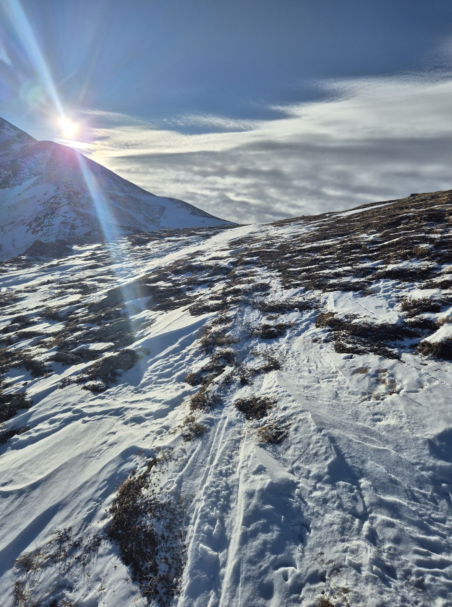
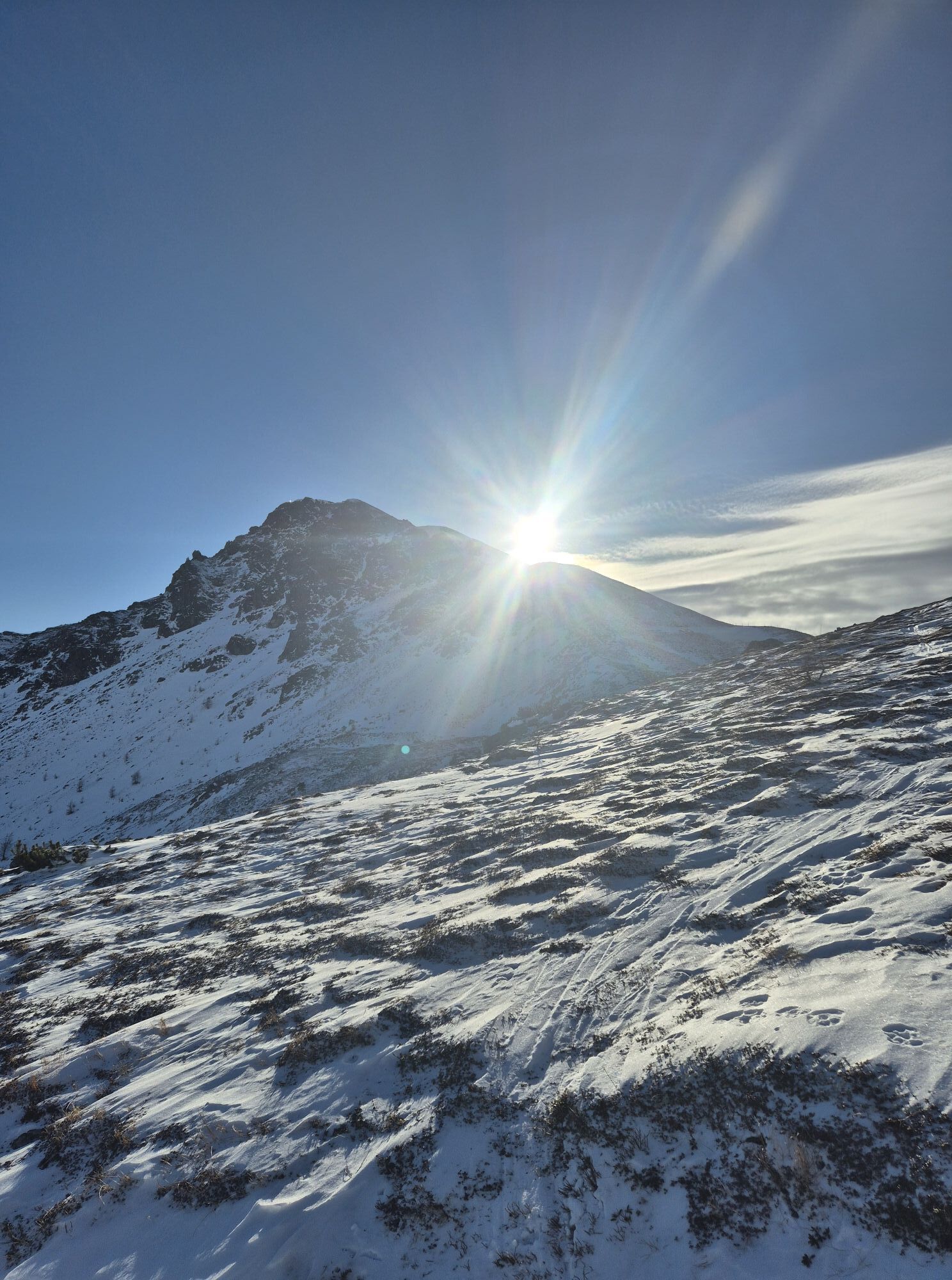
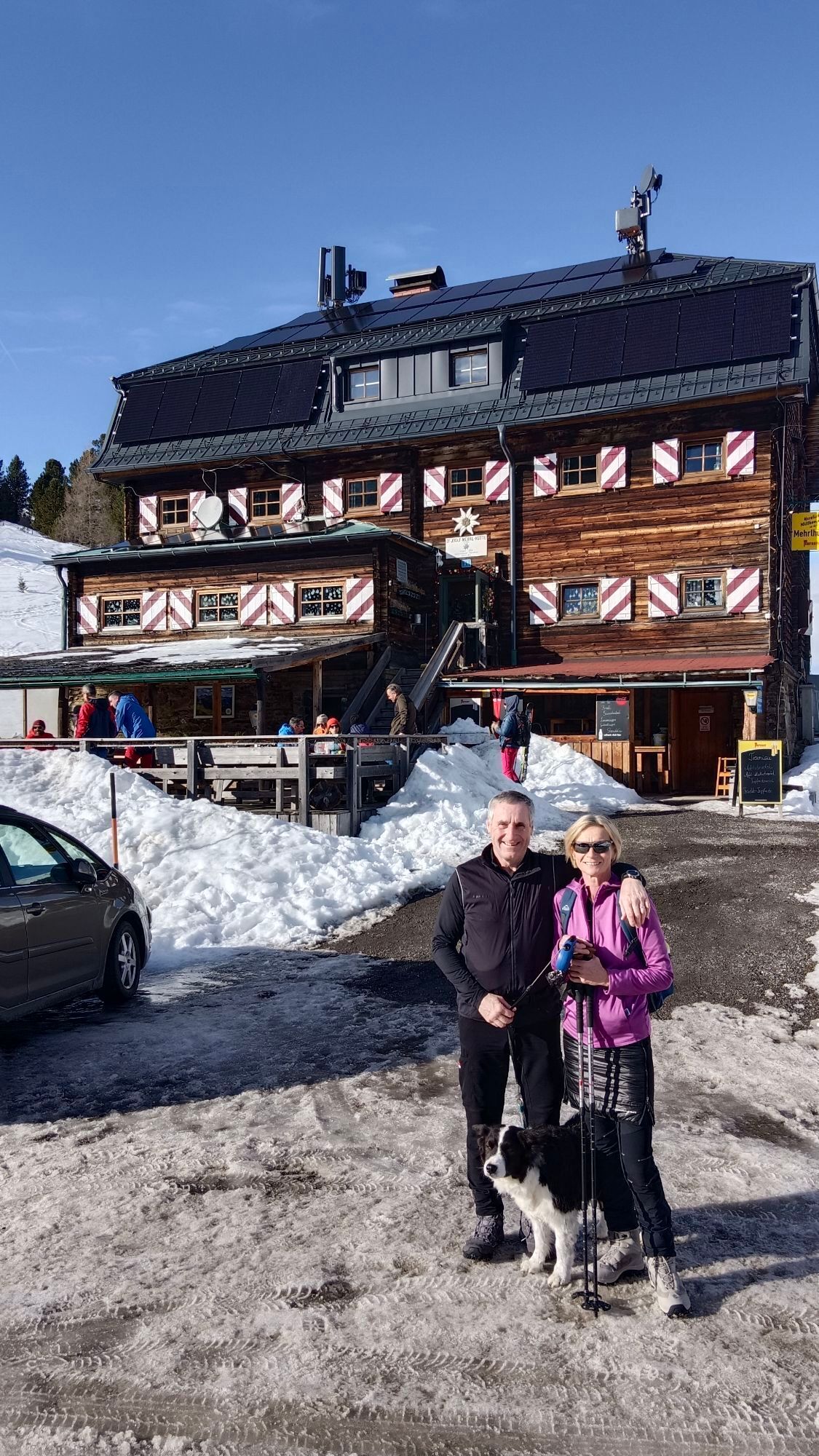
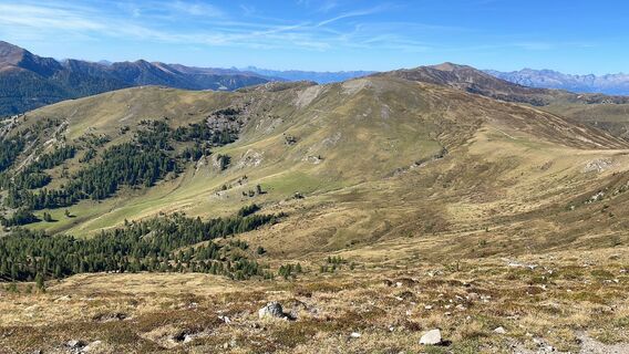
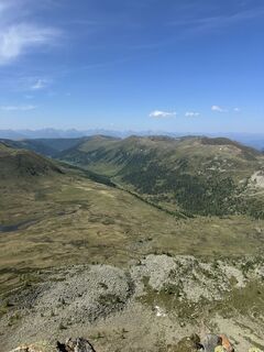
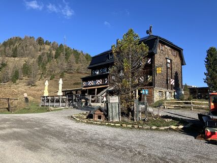
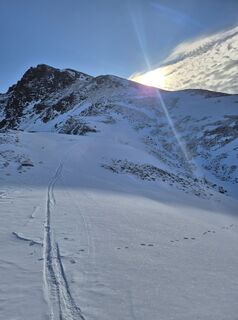
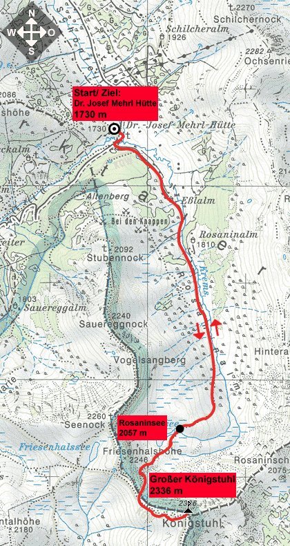
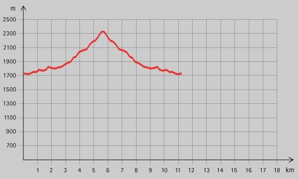
The starting point of the tour is the Dr Josef Mehrl Hütte (1730 m) in Schönfeld. From the car park, follow the gravel road (trail no. 126) uphill along the Kremsbach stream through the valley floor. A...
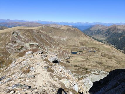
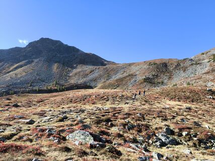
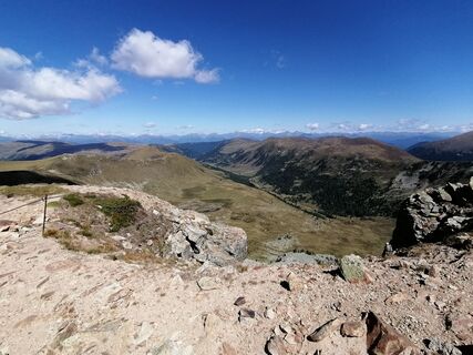
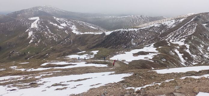
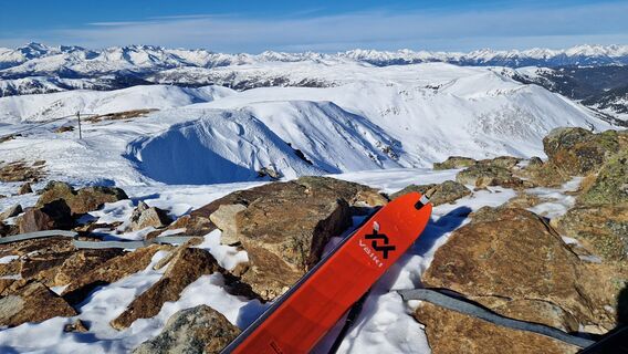
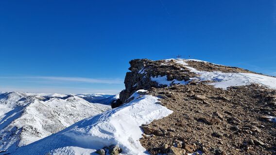
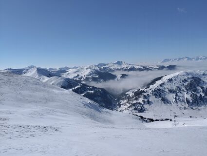
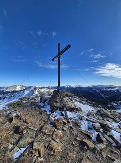
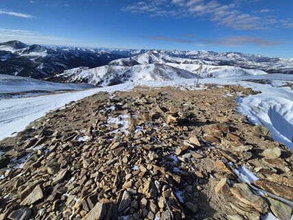
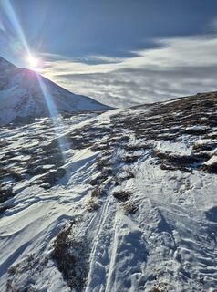
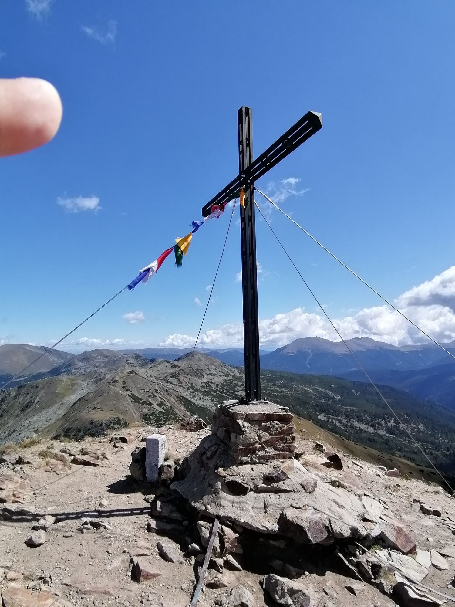
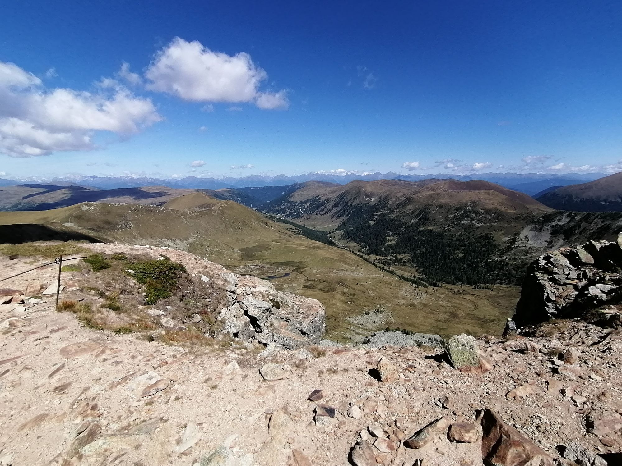
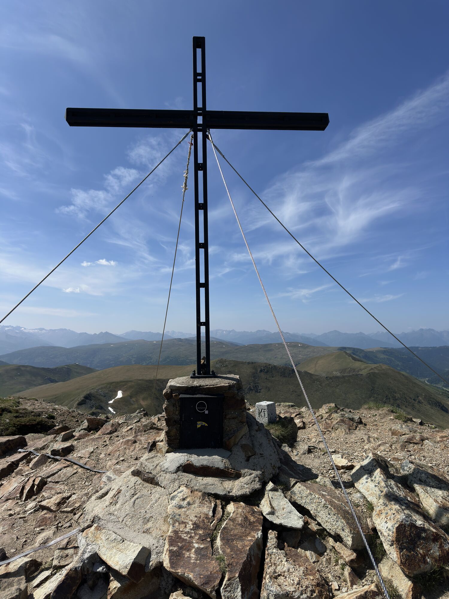
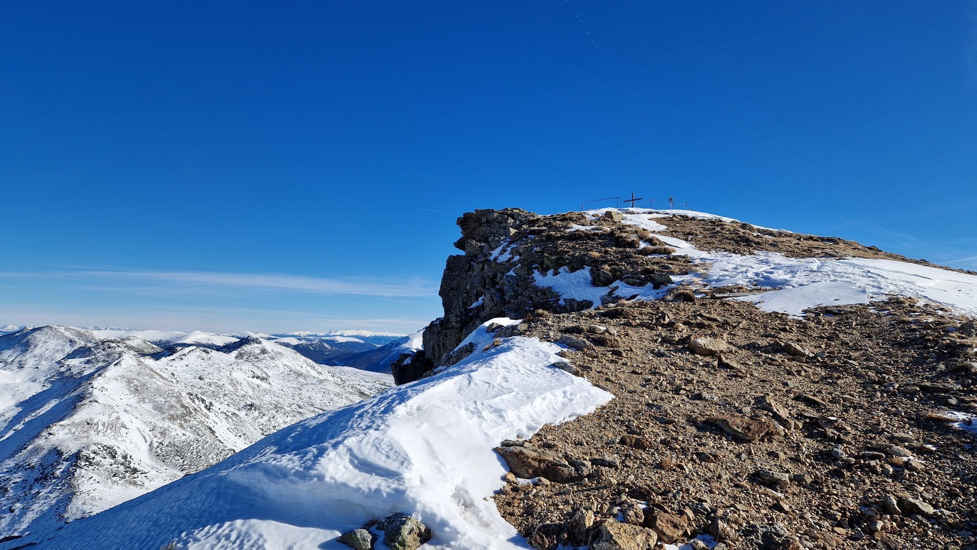
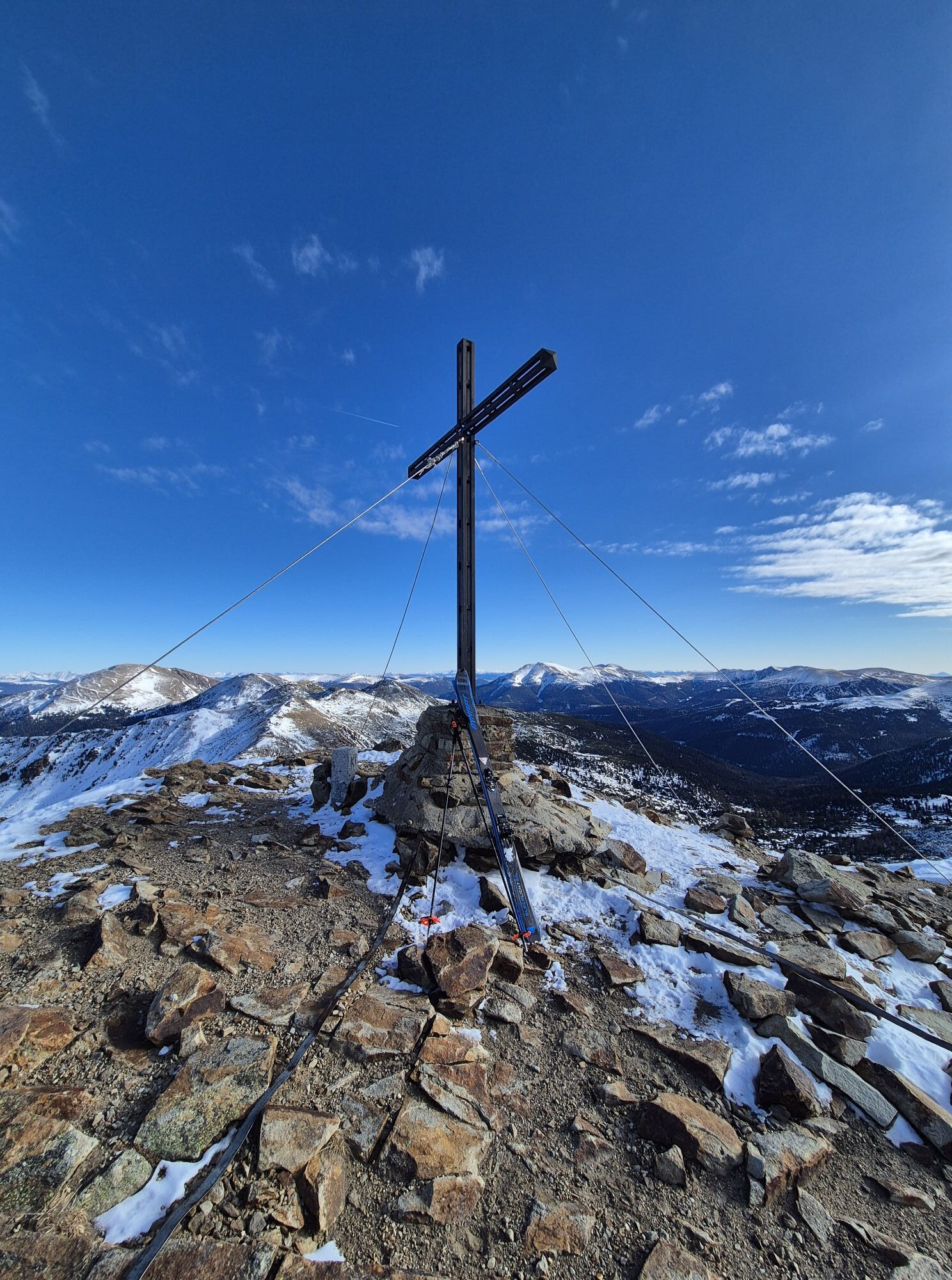
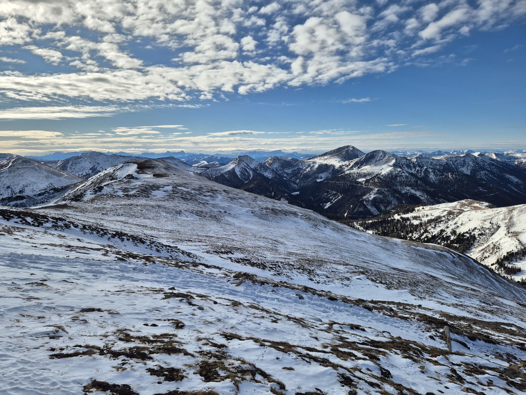
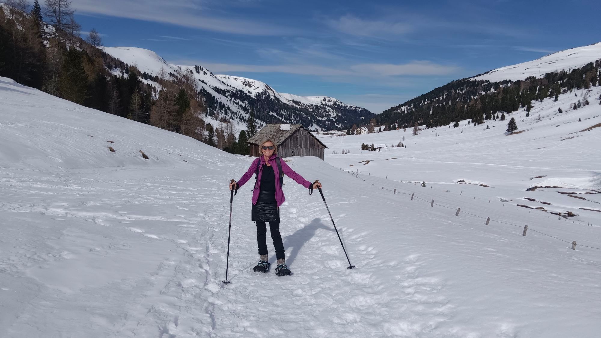
The starting point of the tour is the Dr Josef Mehrl Hütte (1730 m) in Schönfeld. From the car park, follow the gravel road (trail no. 126) uphill along the Kremsbach stream through the valley floor. A little later, the path begins to move away from the stream and the terrain becomes steeper. At 2057 m, you reach the Rosaninsee lake, which you hike around to the south-east. From the lake, the path winds its way up to the ridge of the north-west foothills of the Großer Königstuhl, where you meet path no. 125. Follow this to the left up to the summit of the Großer Königstuhl (2336 m).
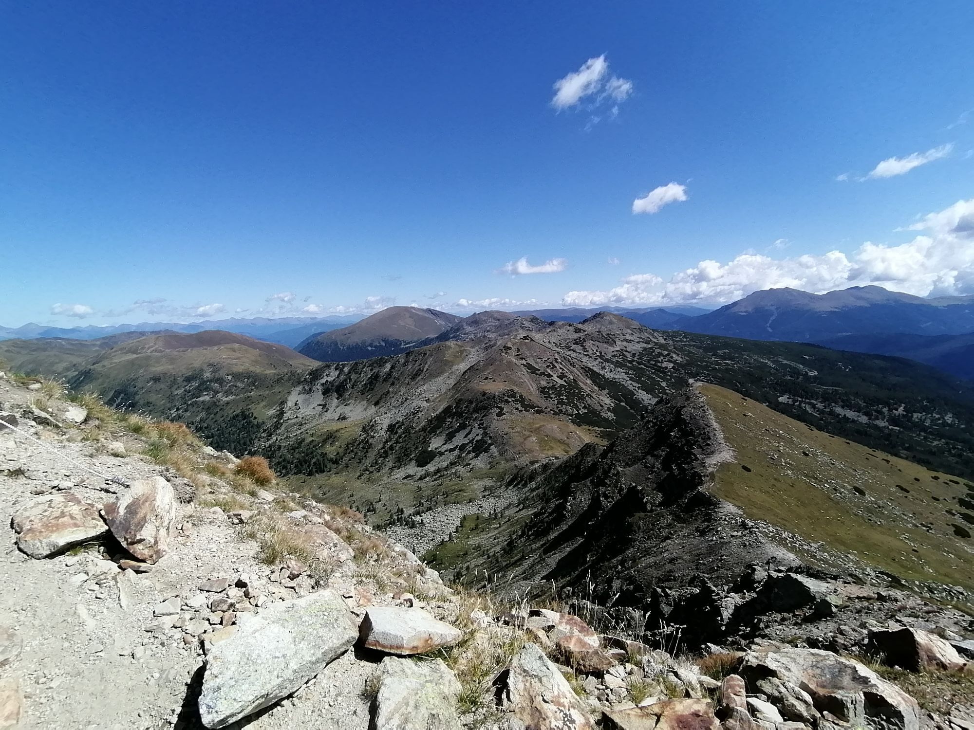
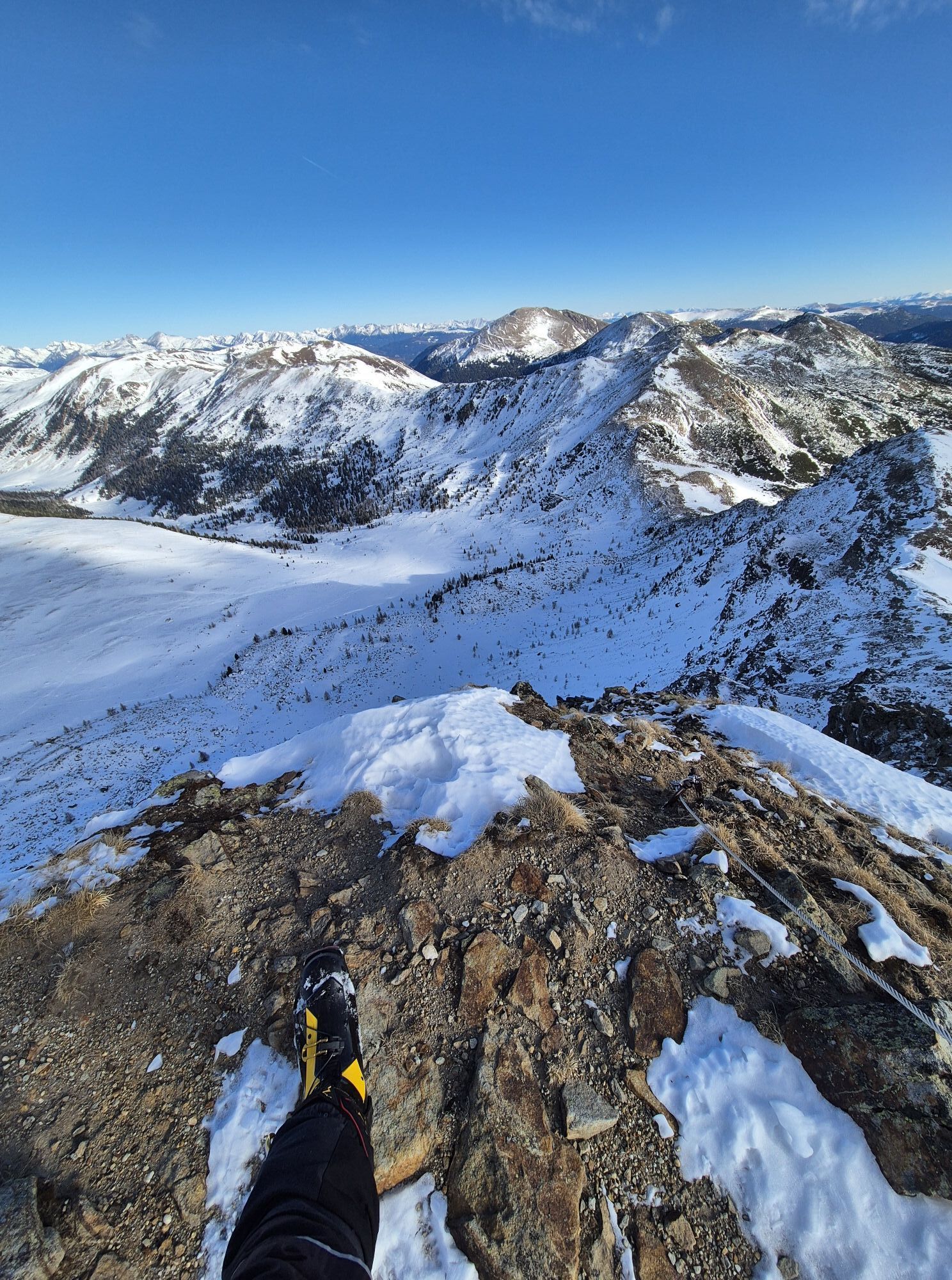
Return either on the ascent path or via path no. 125, following the ridge (via Sauereggnock and Stubennock) back to the Dr Josef Mehrl Hütte.
Notes:
The Rosaninsee lake can also be chosen as a destination. The hike is shorter but still extremely rewarding!


Eßlalm, 1.767 m
Geöffnet Mitte Juni bis Mitte September
Tel.: +43 (0)676 5363062
Mehr Infos unter: www.facebook.com/esslalm/
Sí
Bei Rennweg von der E55 abfahren. Richtung Süden nach Kremsbrücke. Von hier nach Innerkrems und weiter bis nach Schönfeld und zur Dr. Josef Mehrl Hütte.

Rutas populares en los alrededores
-
4,6
Turracher 3 Seen Weg - Weg der Sinne zwischen Berg & See
luzSendero temático 7,15 km -
4,7
Schoberriegel - Schönebennock -
luzSenderismo 9,88 km -
3,9
Schlögelbergrundweg Nr. 82 (Wasserweg Leisnitz)
medioSenderismo 5,15 km -
4,9
Nockbergrundwanderweg
medioSenderismo 6,62 km -
4,9
St. Oswald - ruta circular - Mallnock - Klomnock
medioSenderismo 10,9 km -
4,8
Große Rosennock Runde
Senderismo 9,80 km -
4,6
Falkertsee - Sonntagstal - Falkert
medioSenderismo 4,84 km -
4,7
Falkert, Murmelsteig B/C mit Direktem Abstieg
medioVía ferrata 3,61 km -
4,5
Rundweg über den Falkert
medioSenderismo 6,26 km -
4,5
Falkertsee - Murmelsteig mit Abstieg über Falkertscharte
medioVía ferrata 4,04 km
Senderismo y rastreo


No se pierda las ofertas y la inspiración para sus próximas vacaciones
Su dirección de correo electrónico se ha añadido a la lista de correo.