






32.01 Samnaun - Scuol, Trans Altarezia Bike

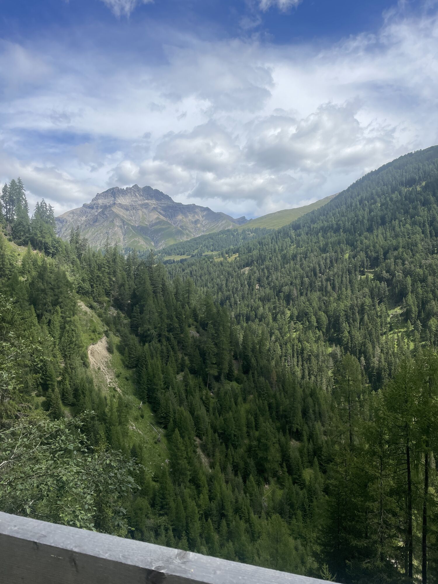
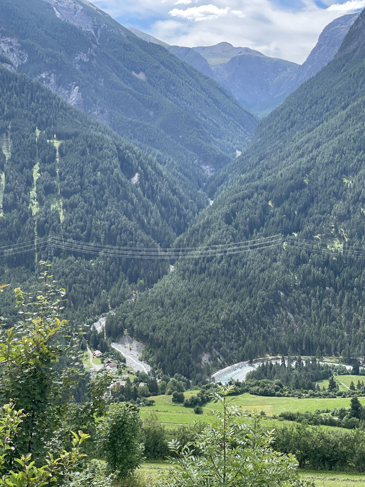
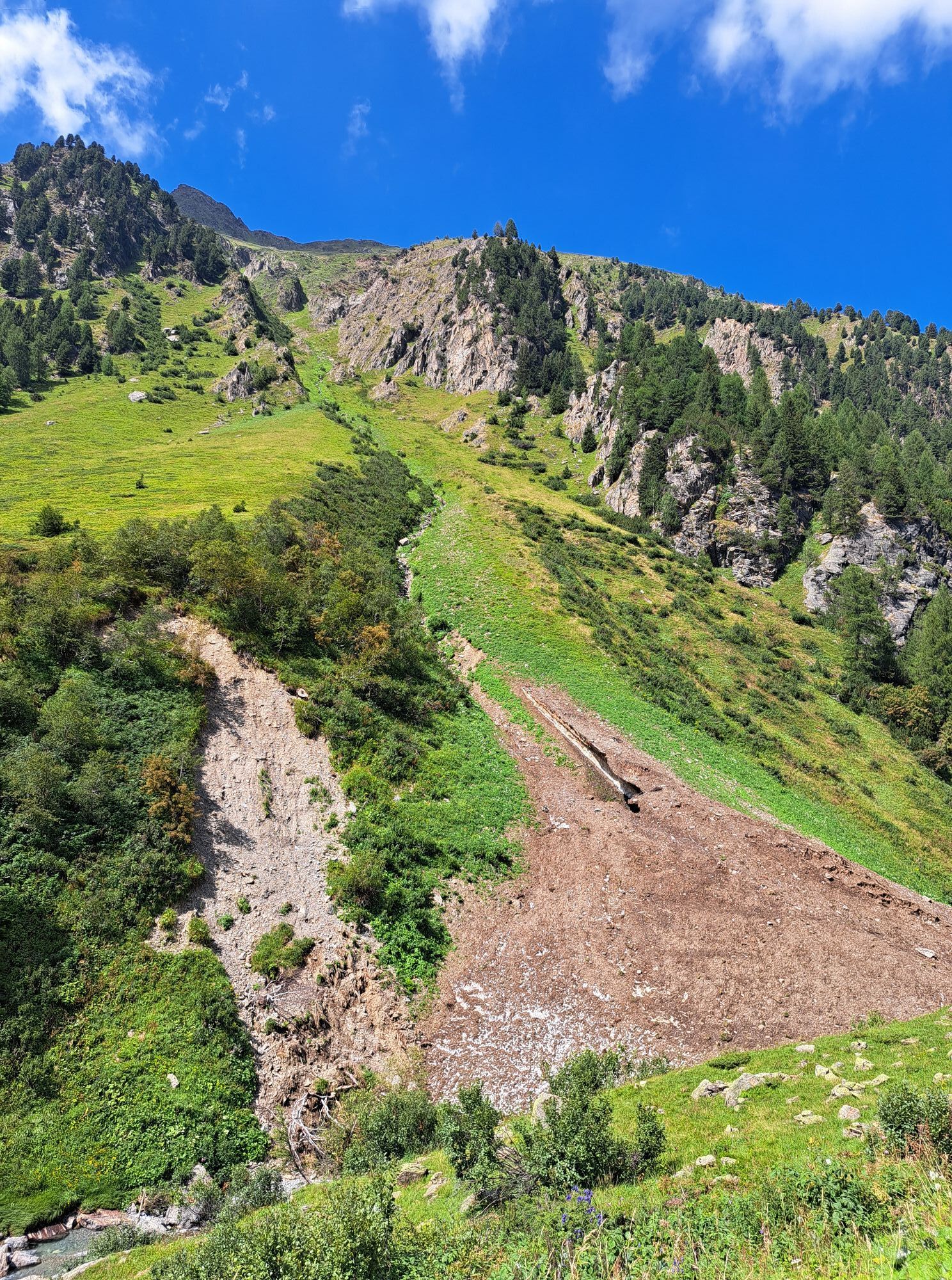
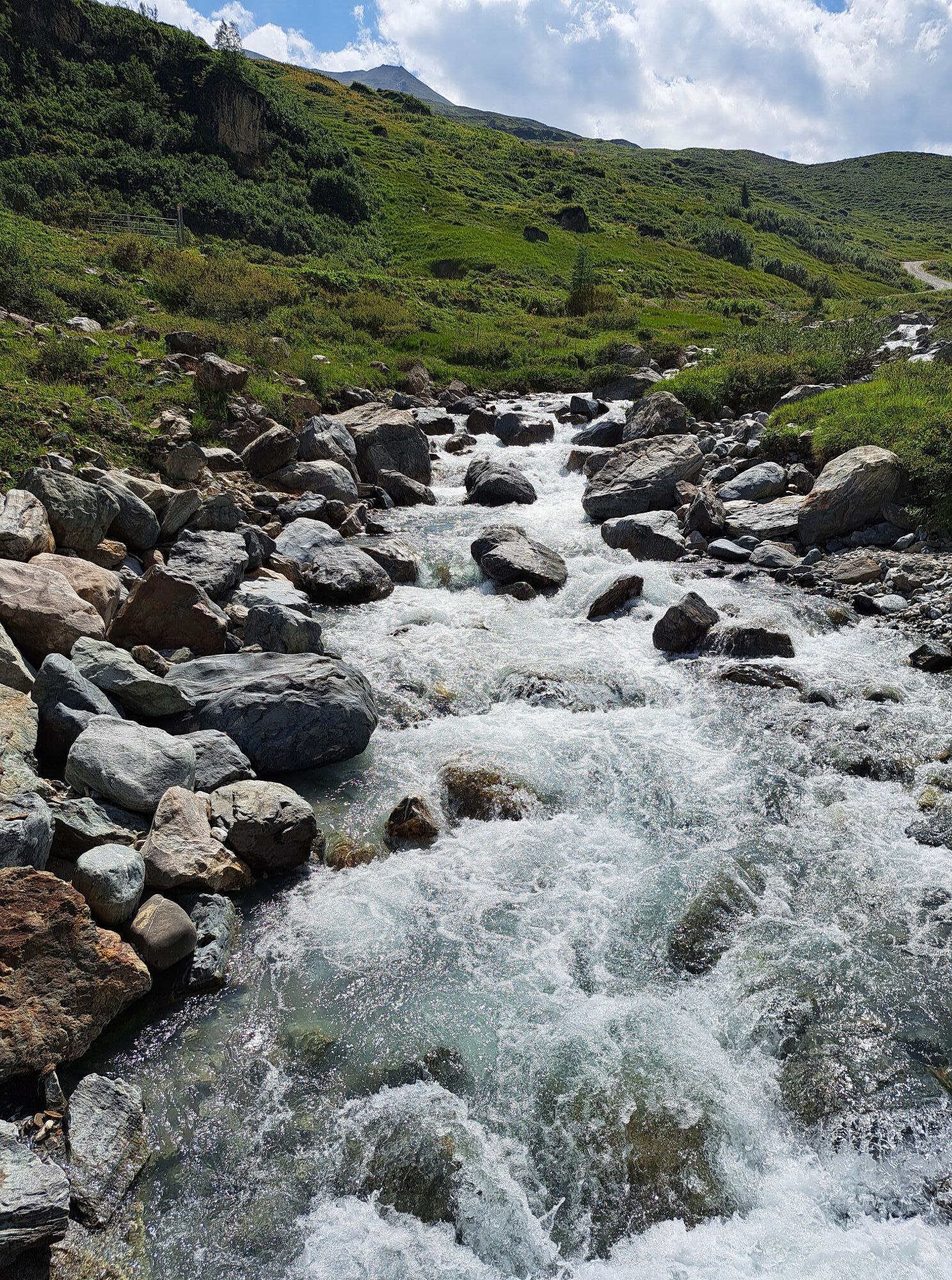
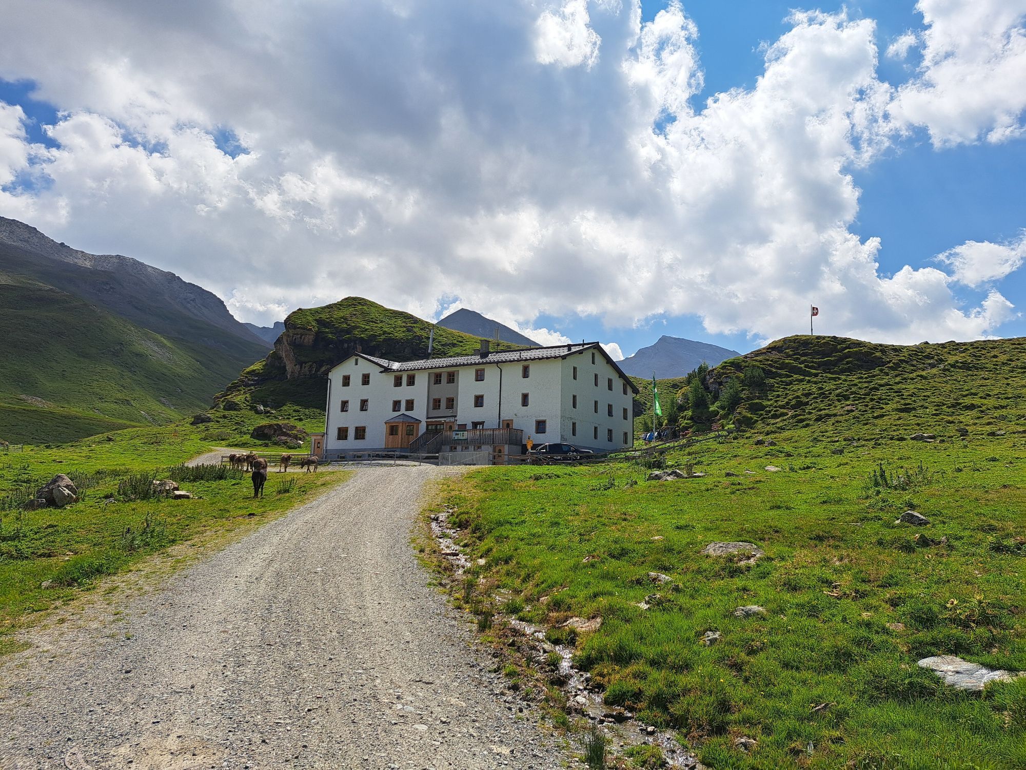
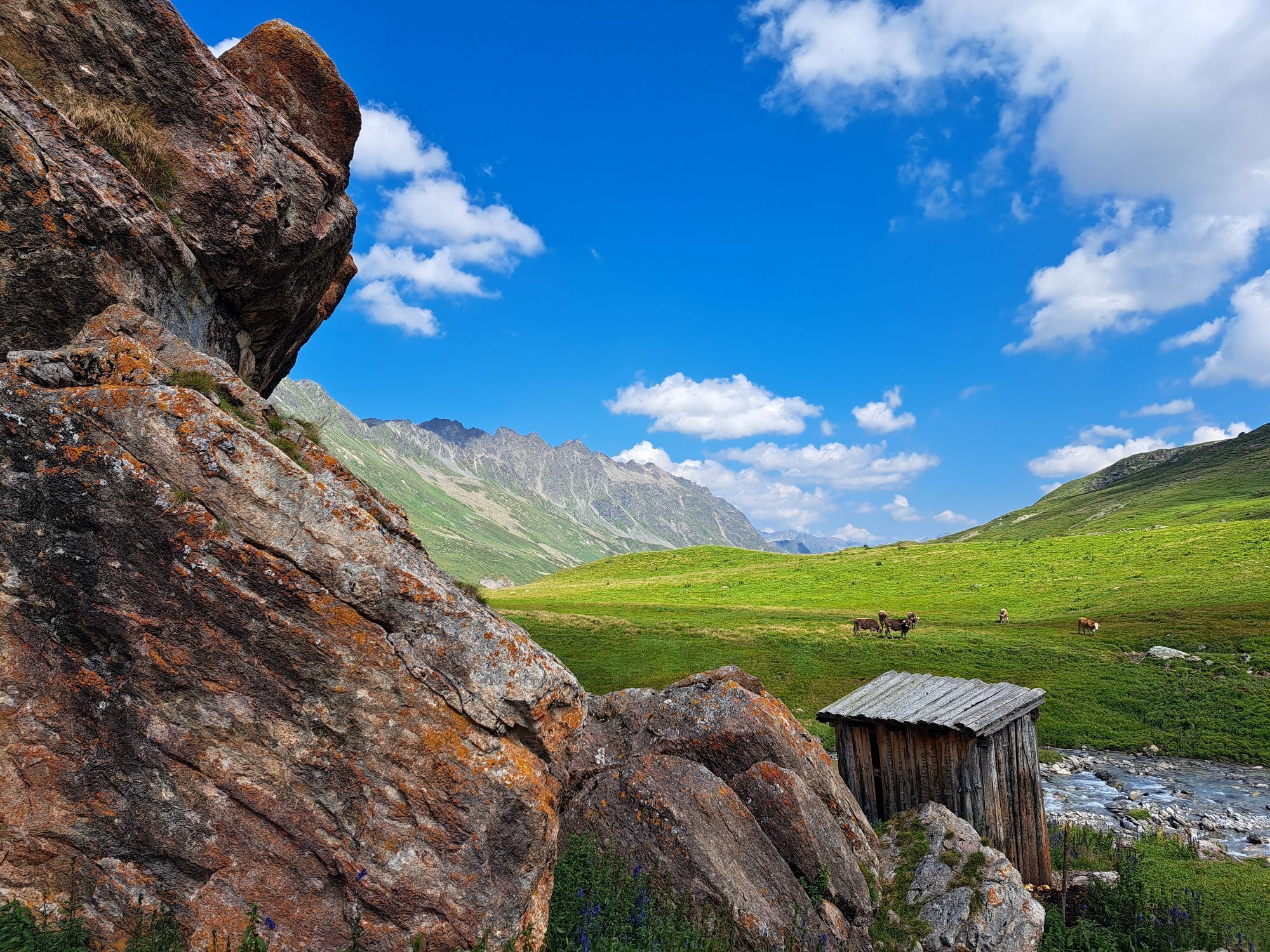
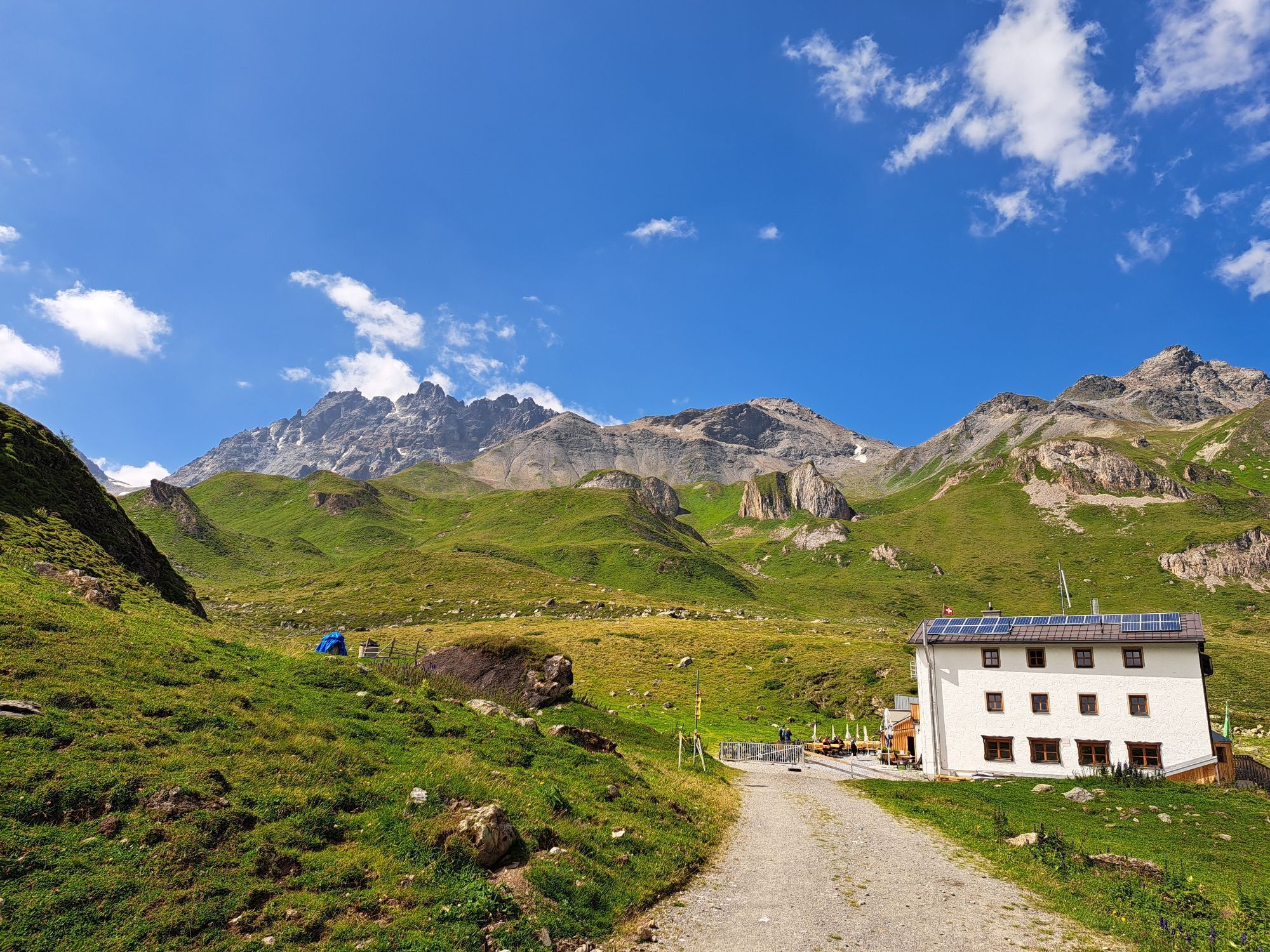
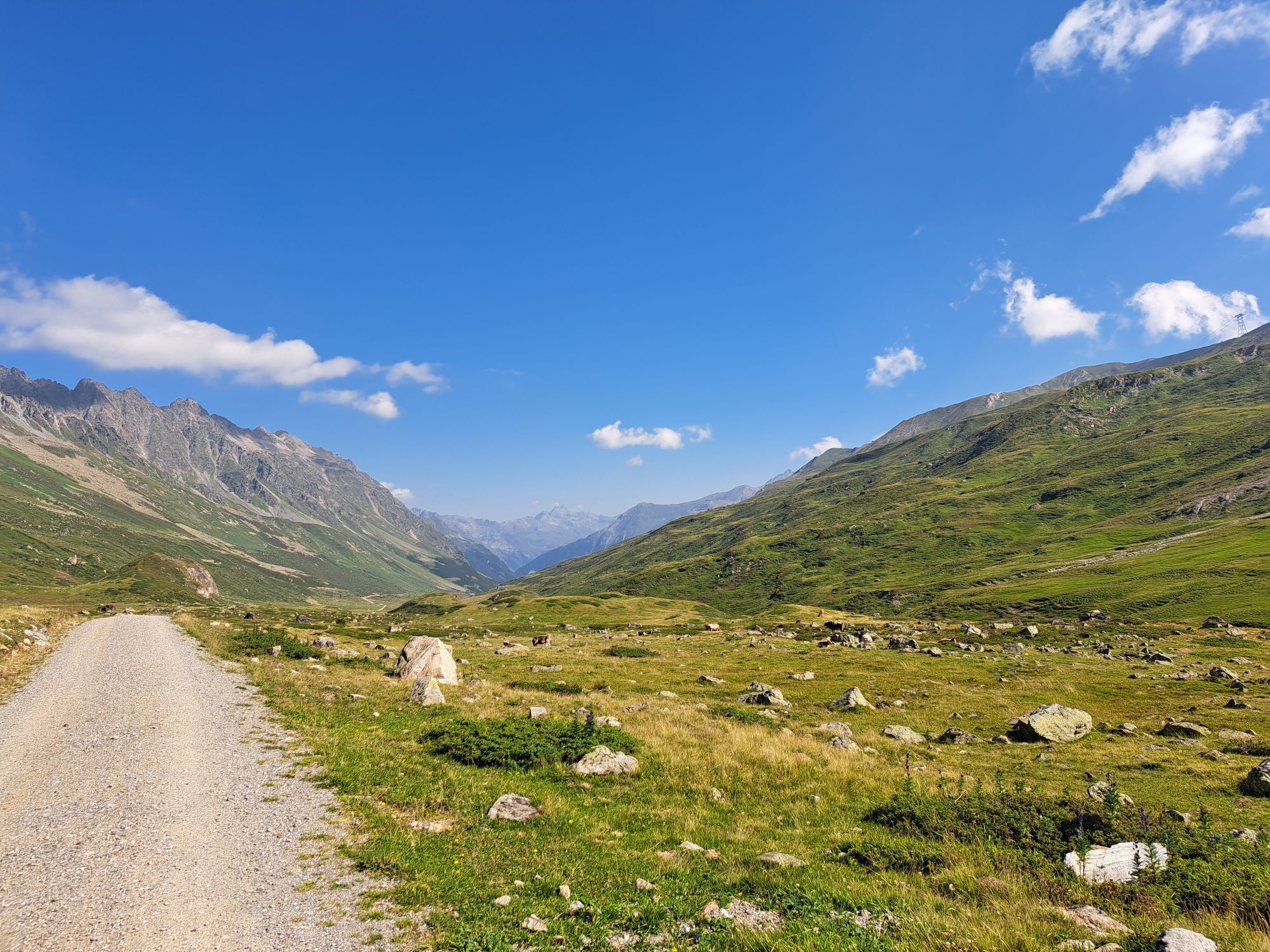
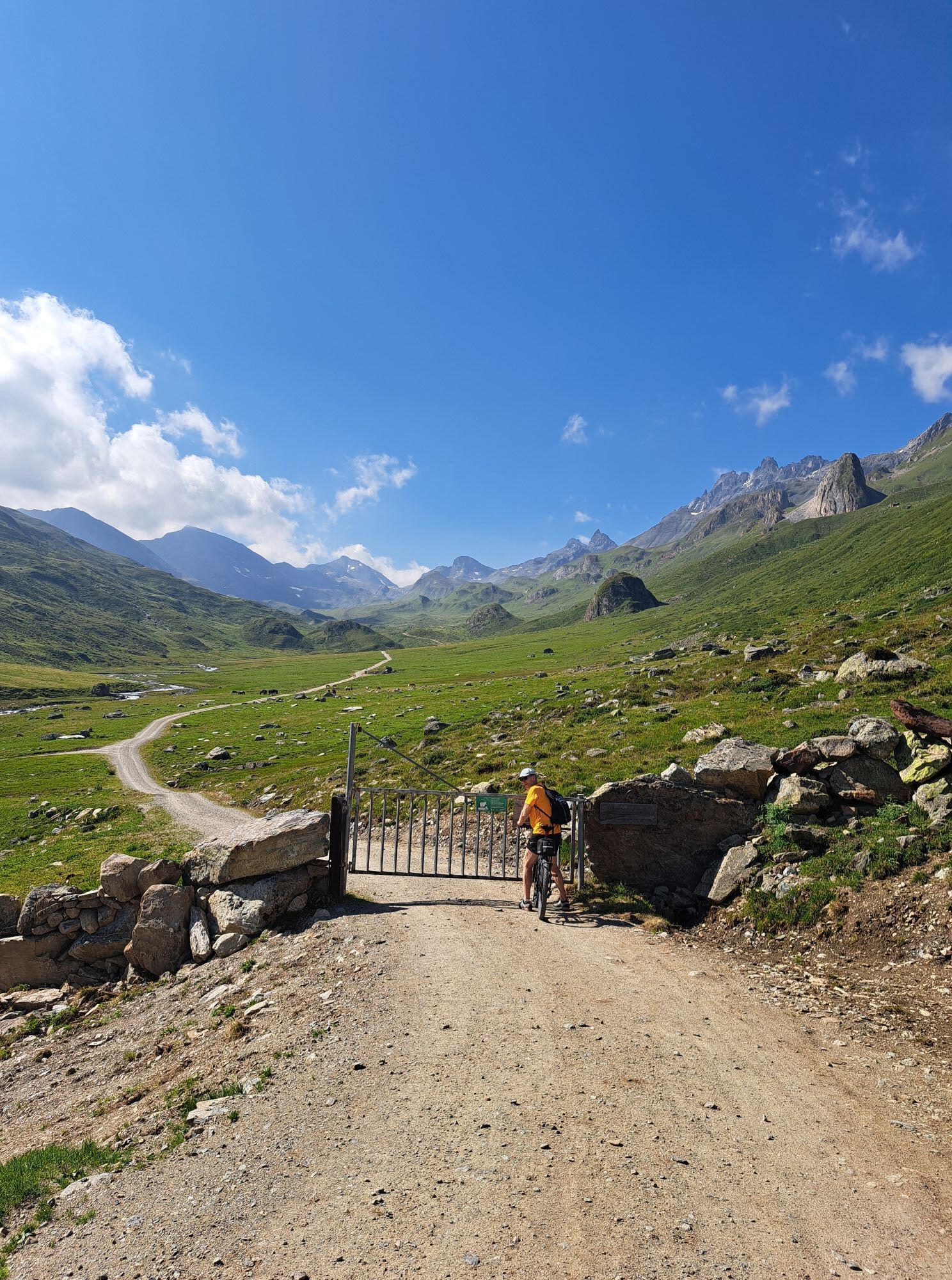
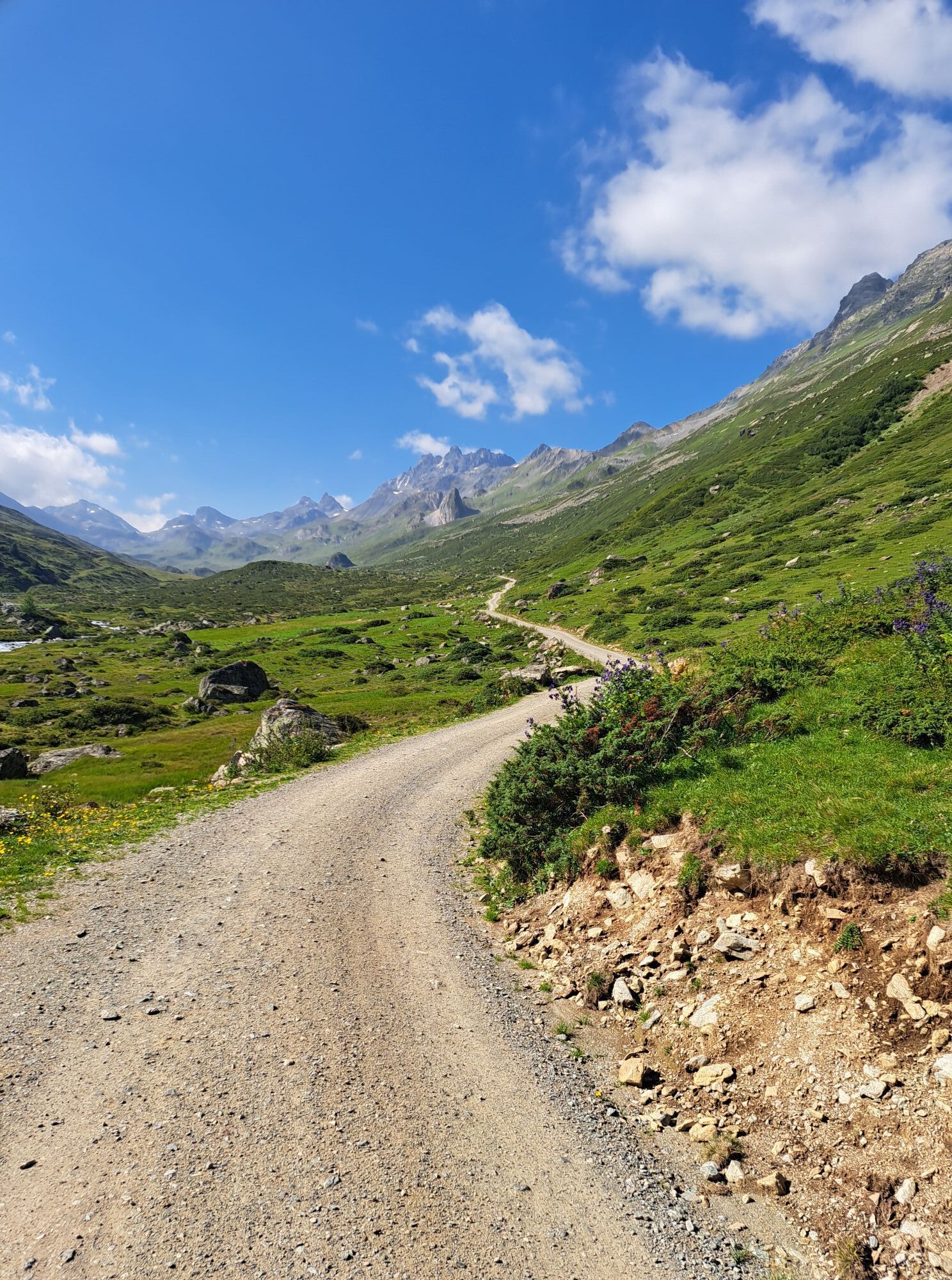
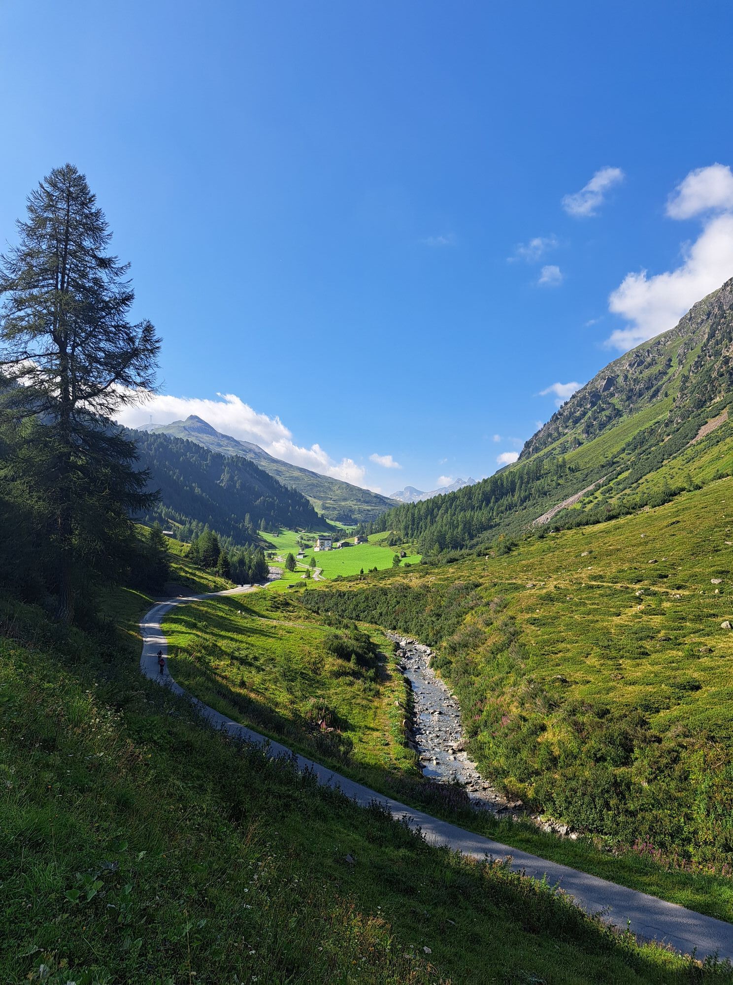
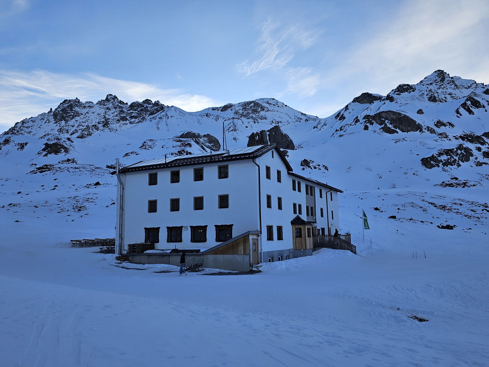
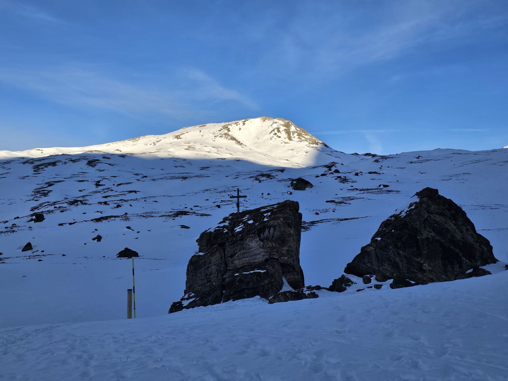
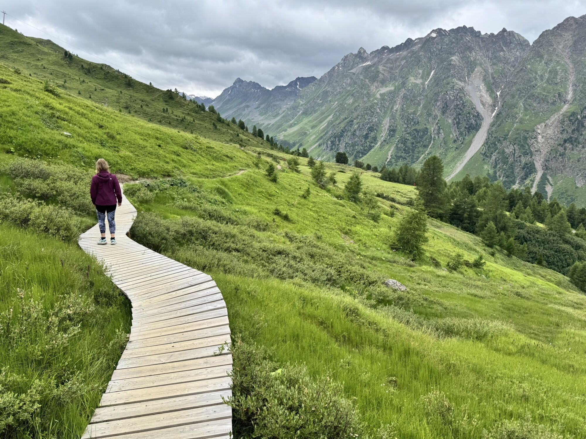
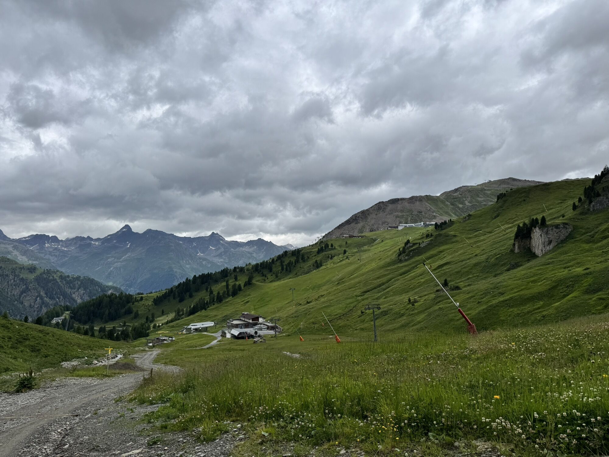
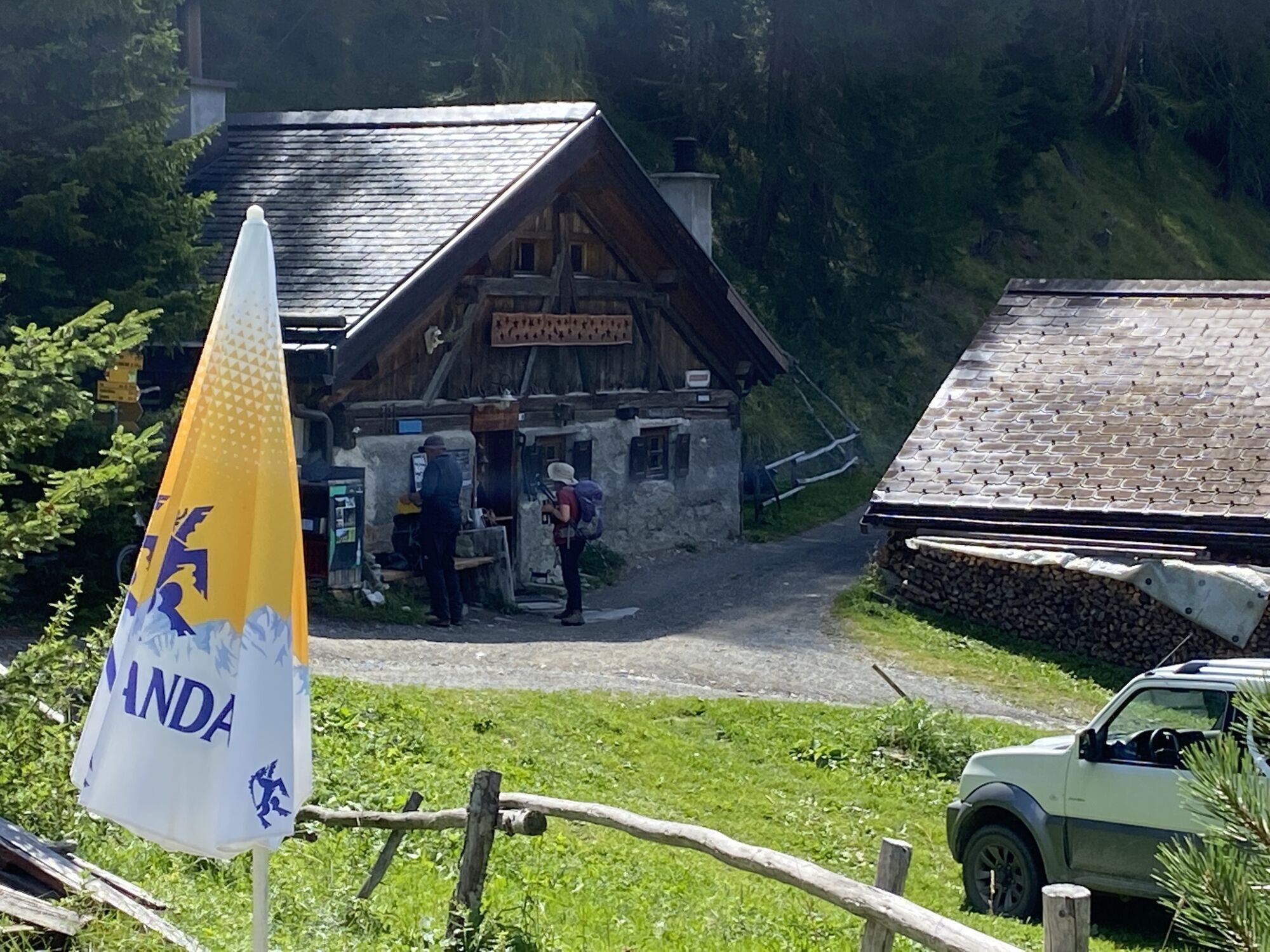
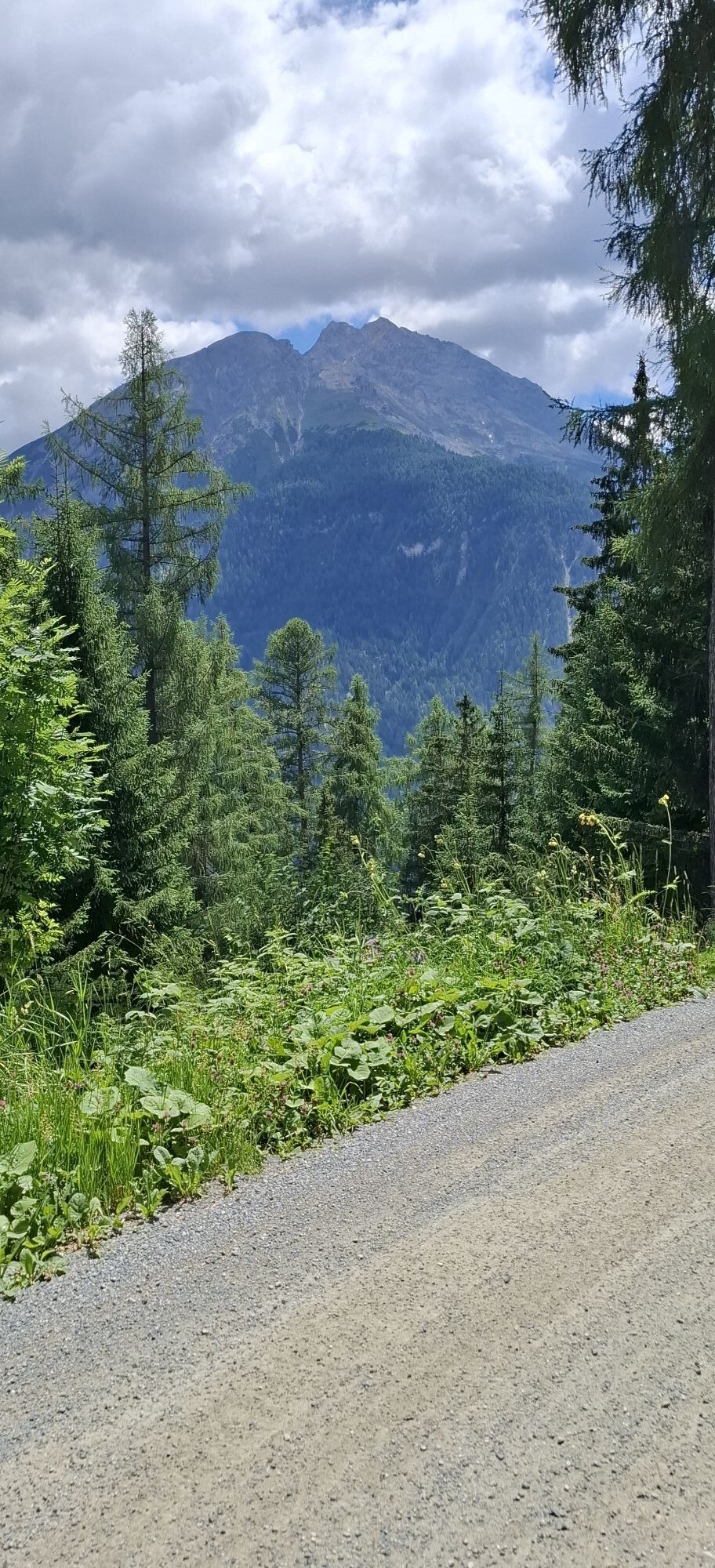
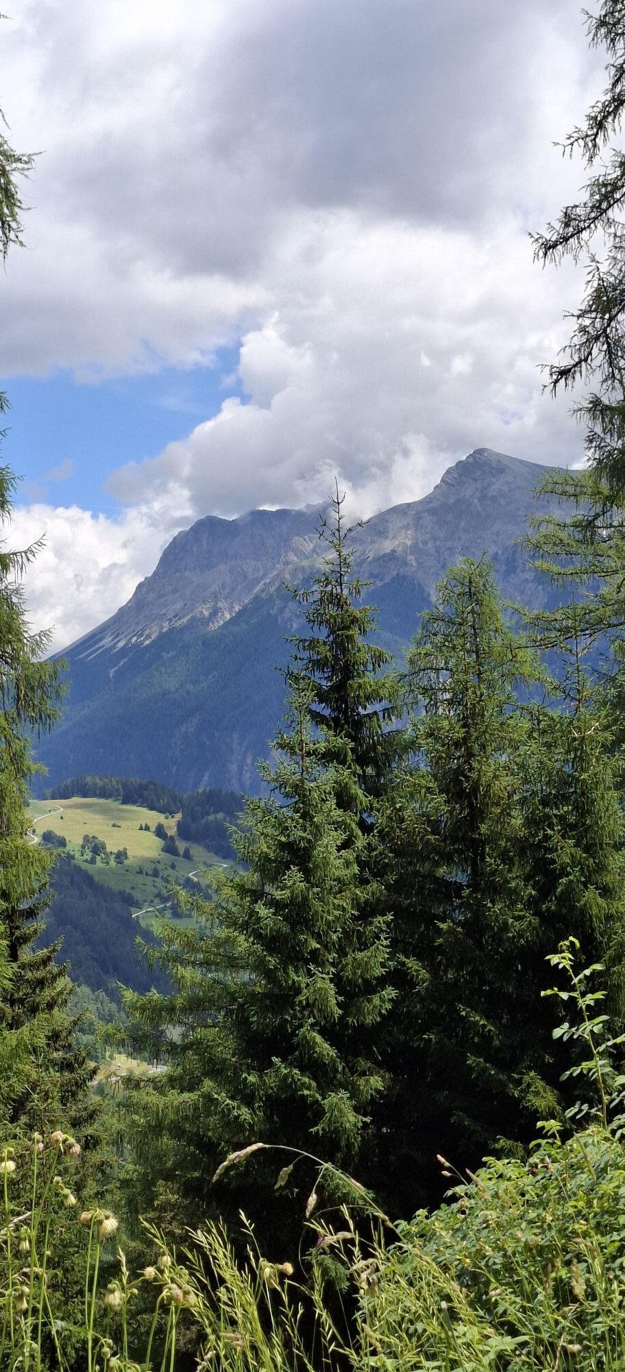
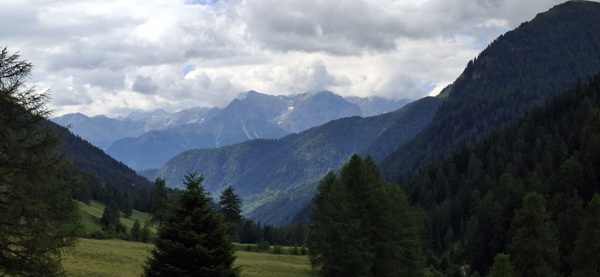
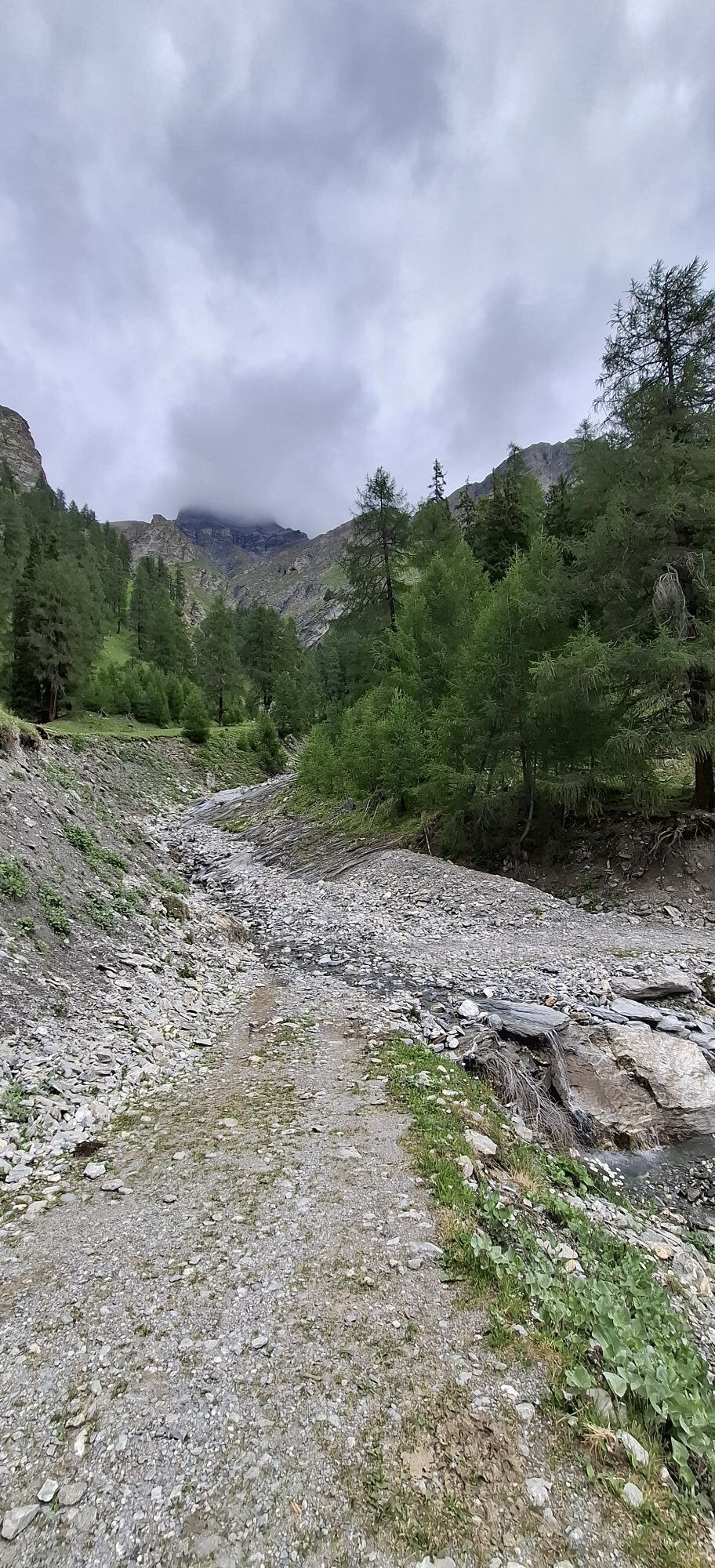
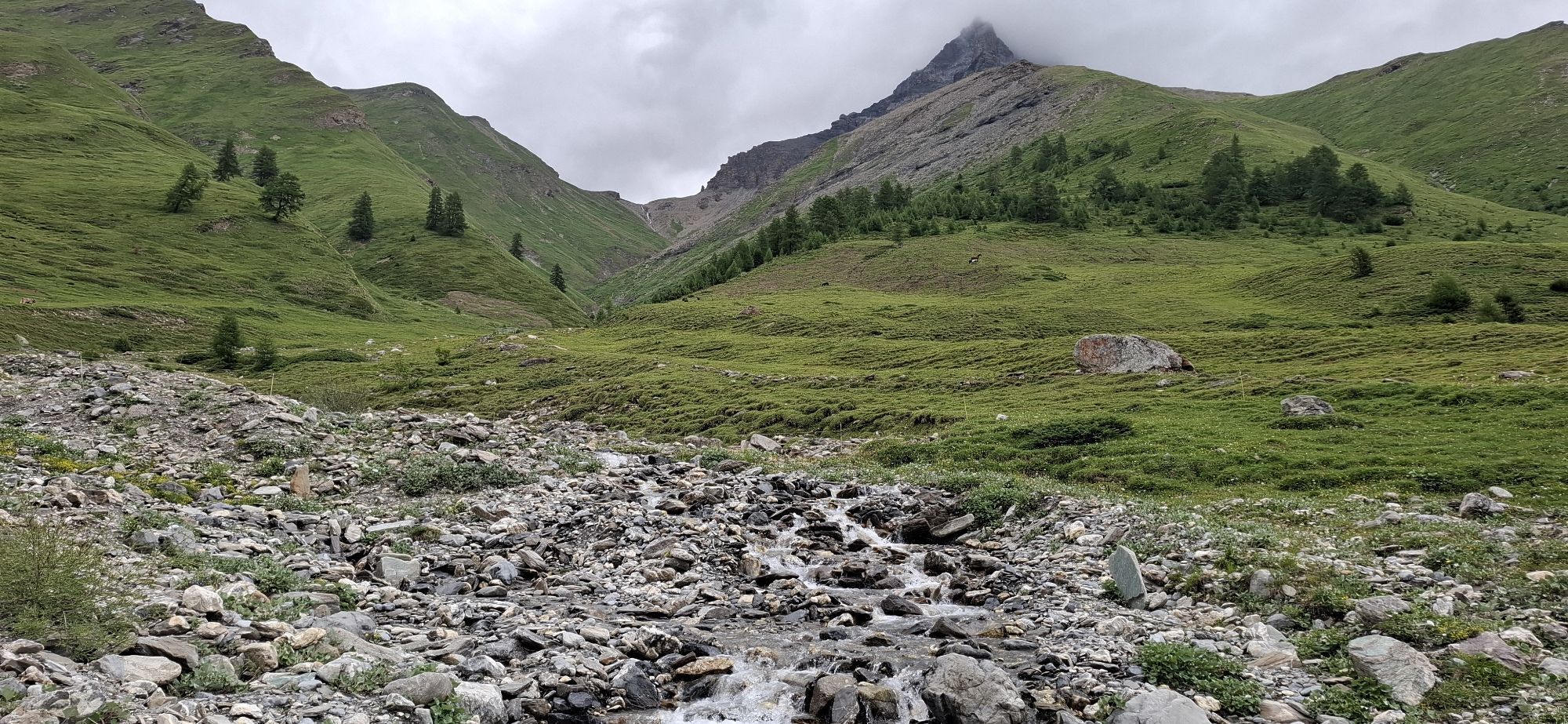
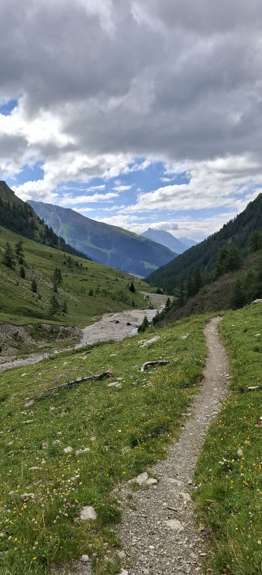
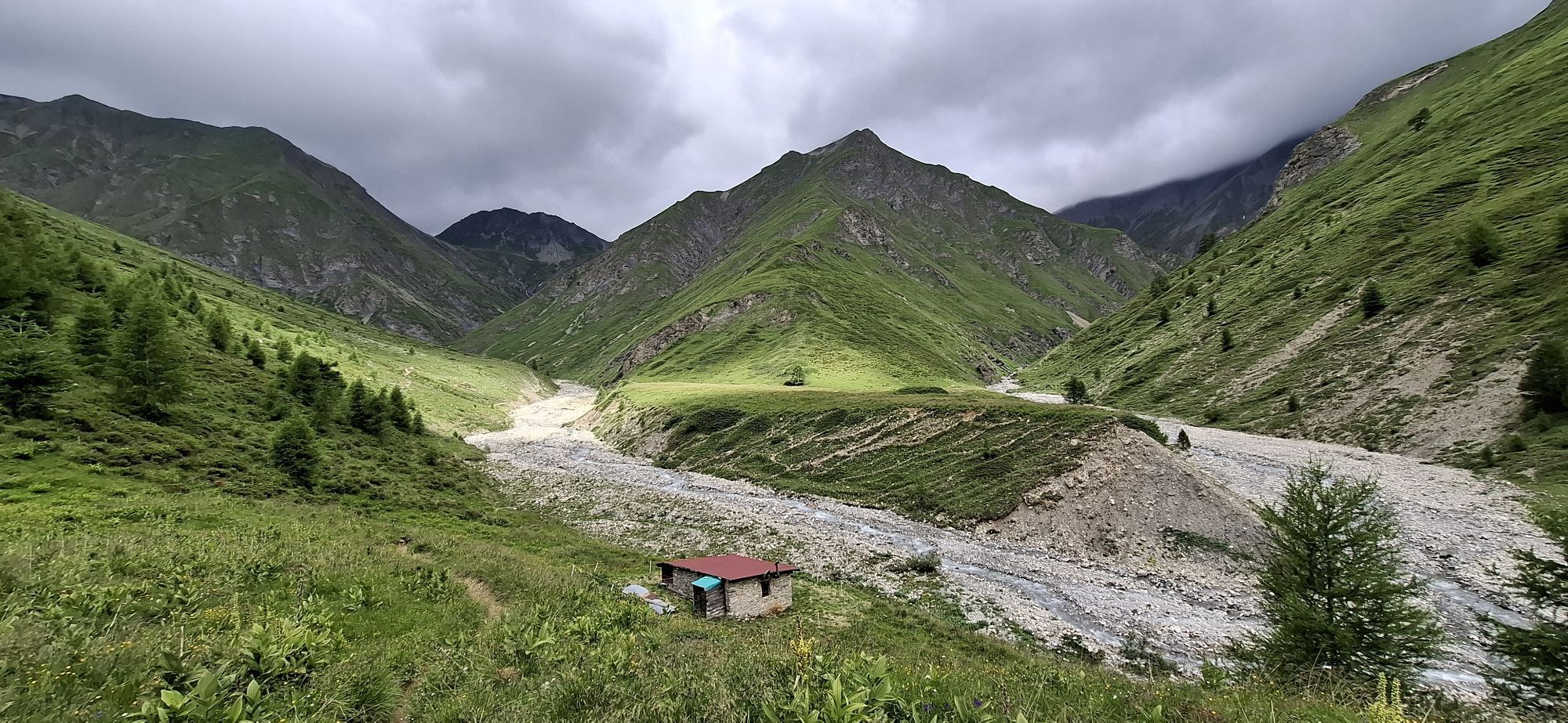
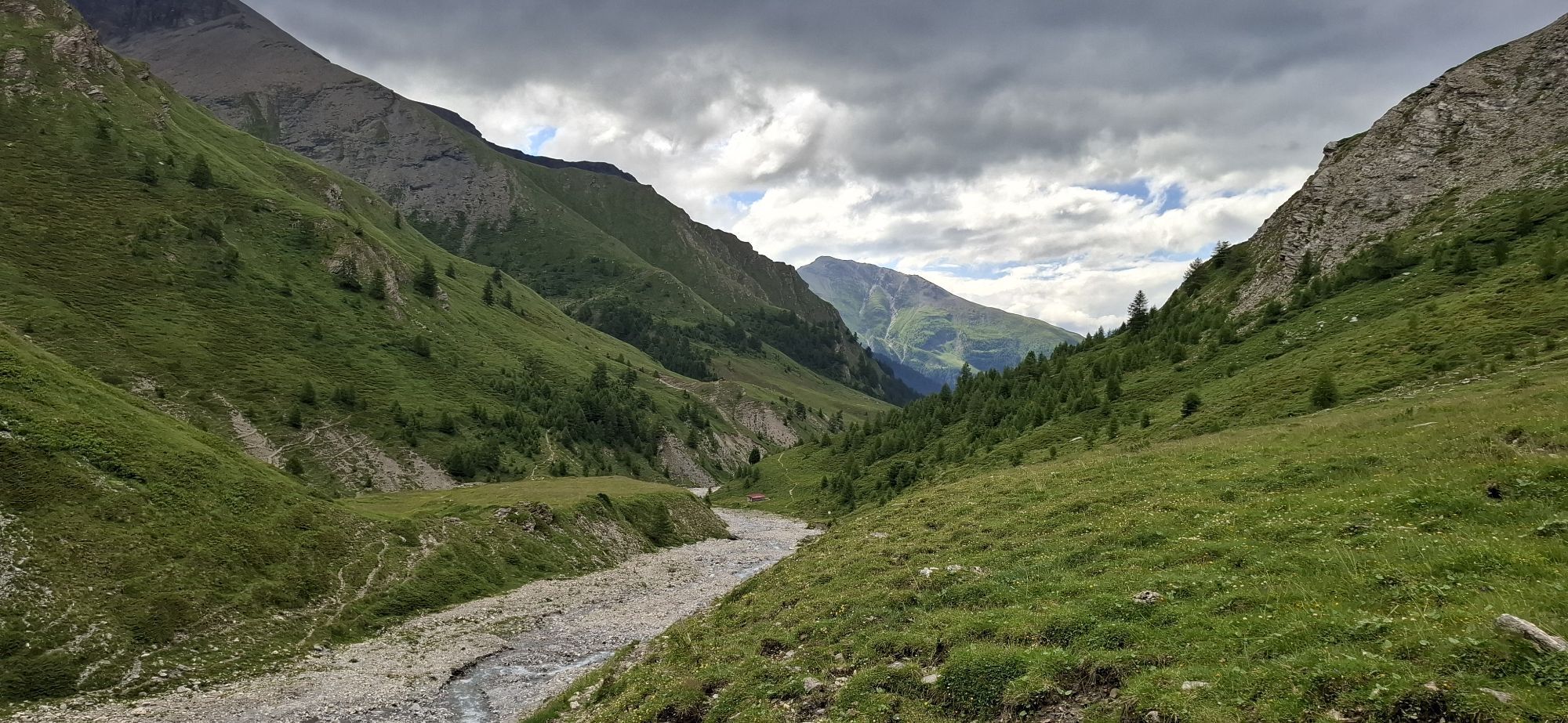
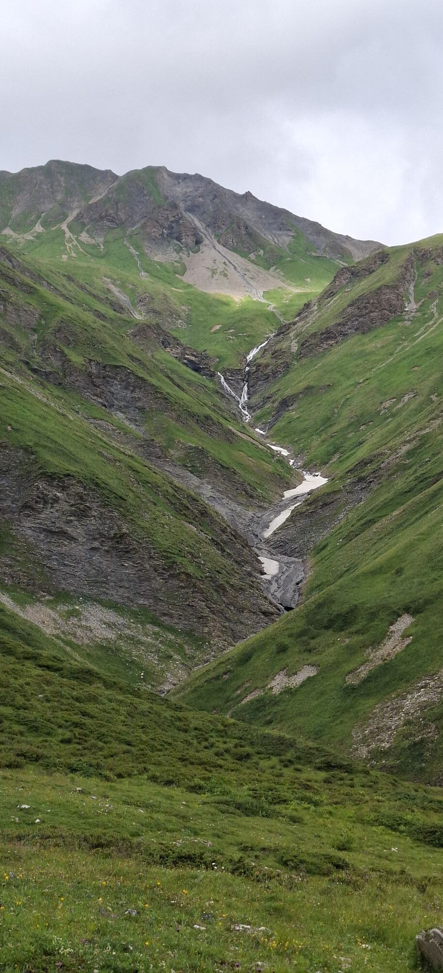
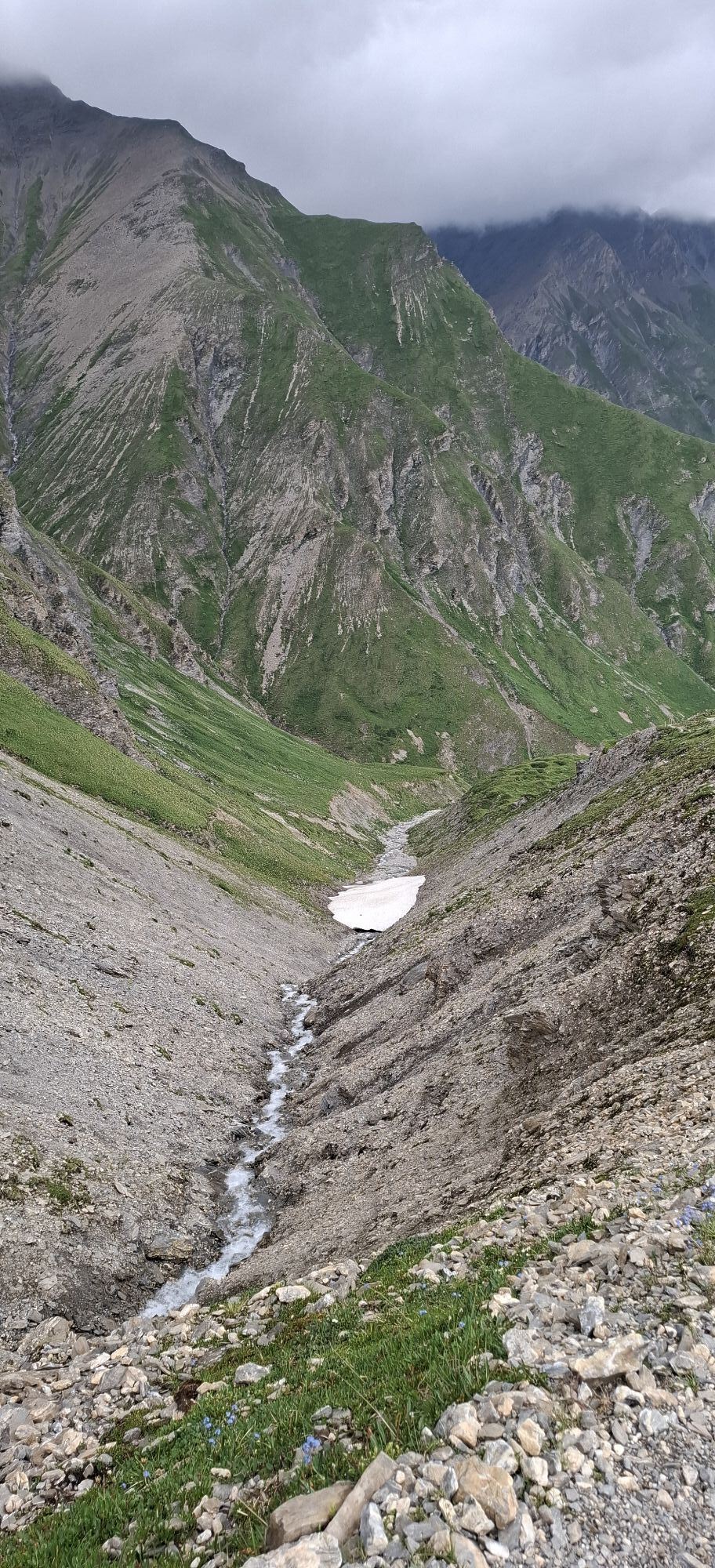
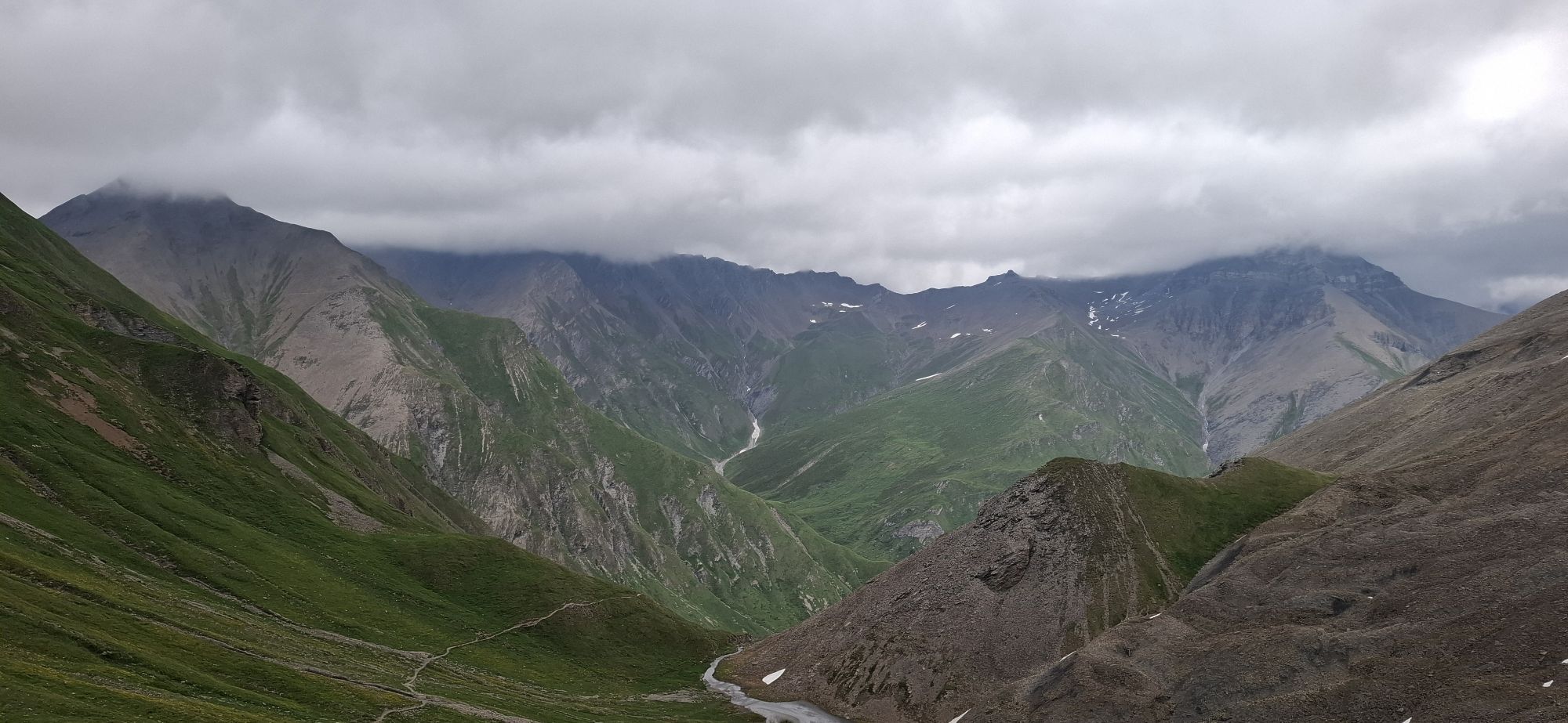
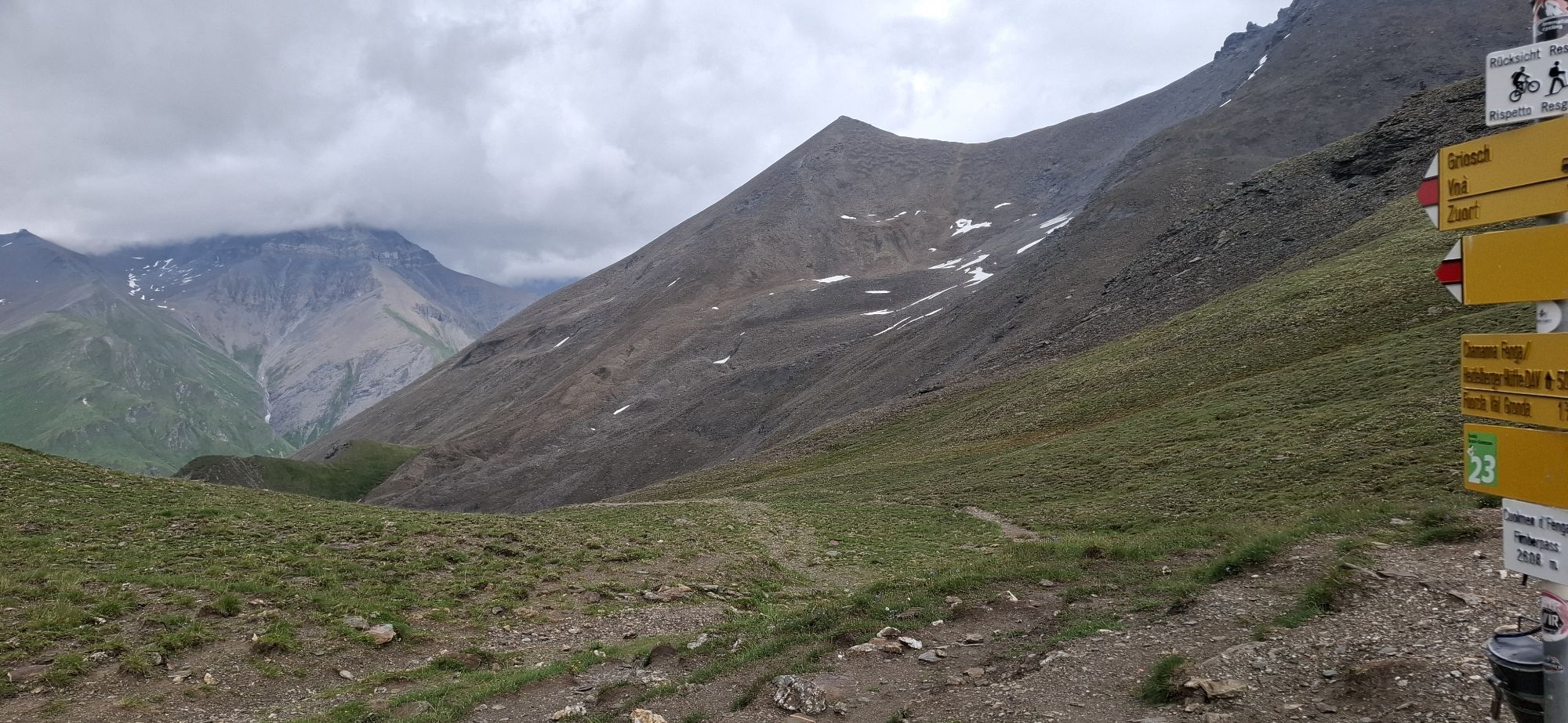
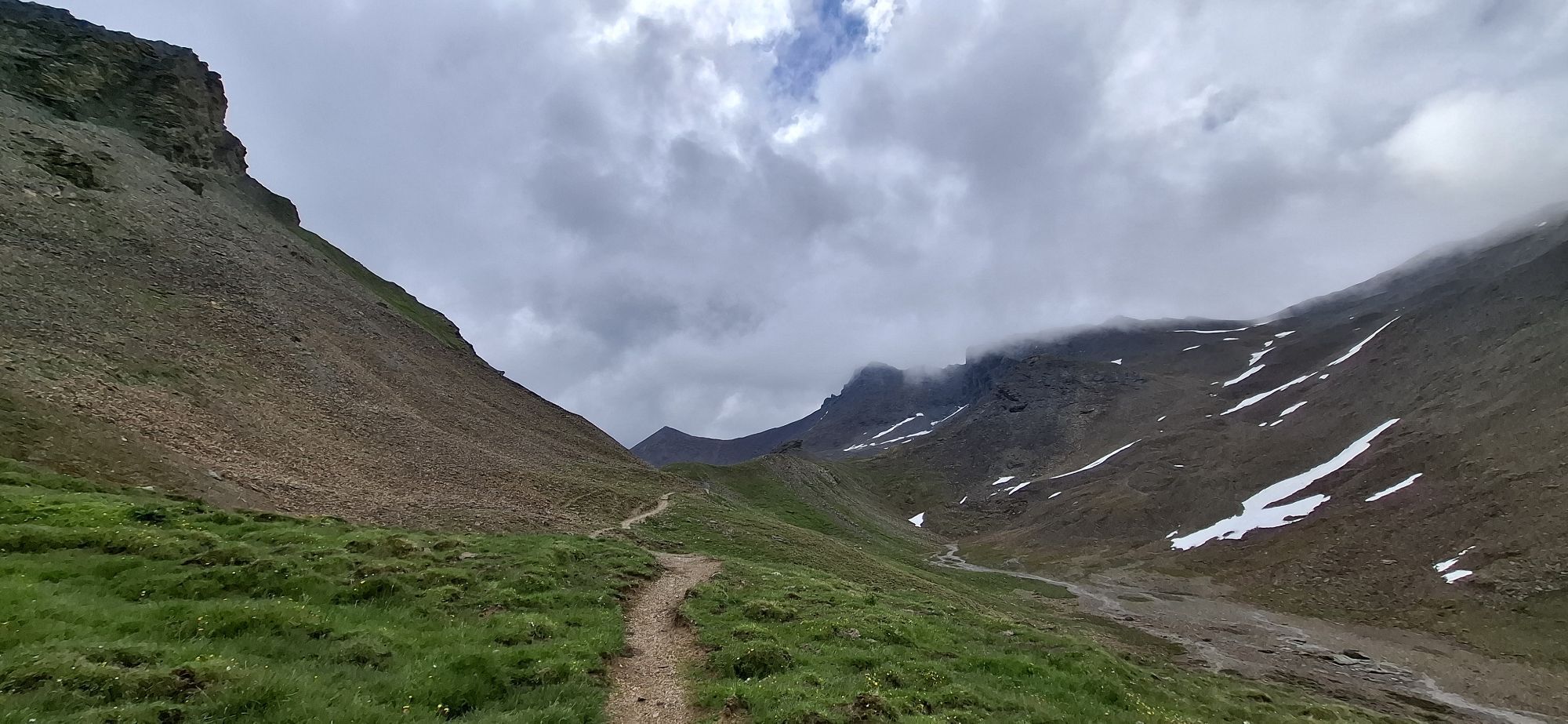
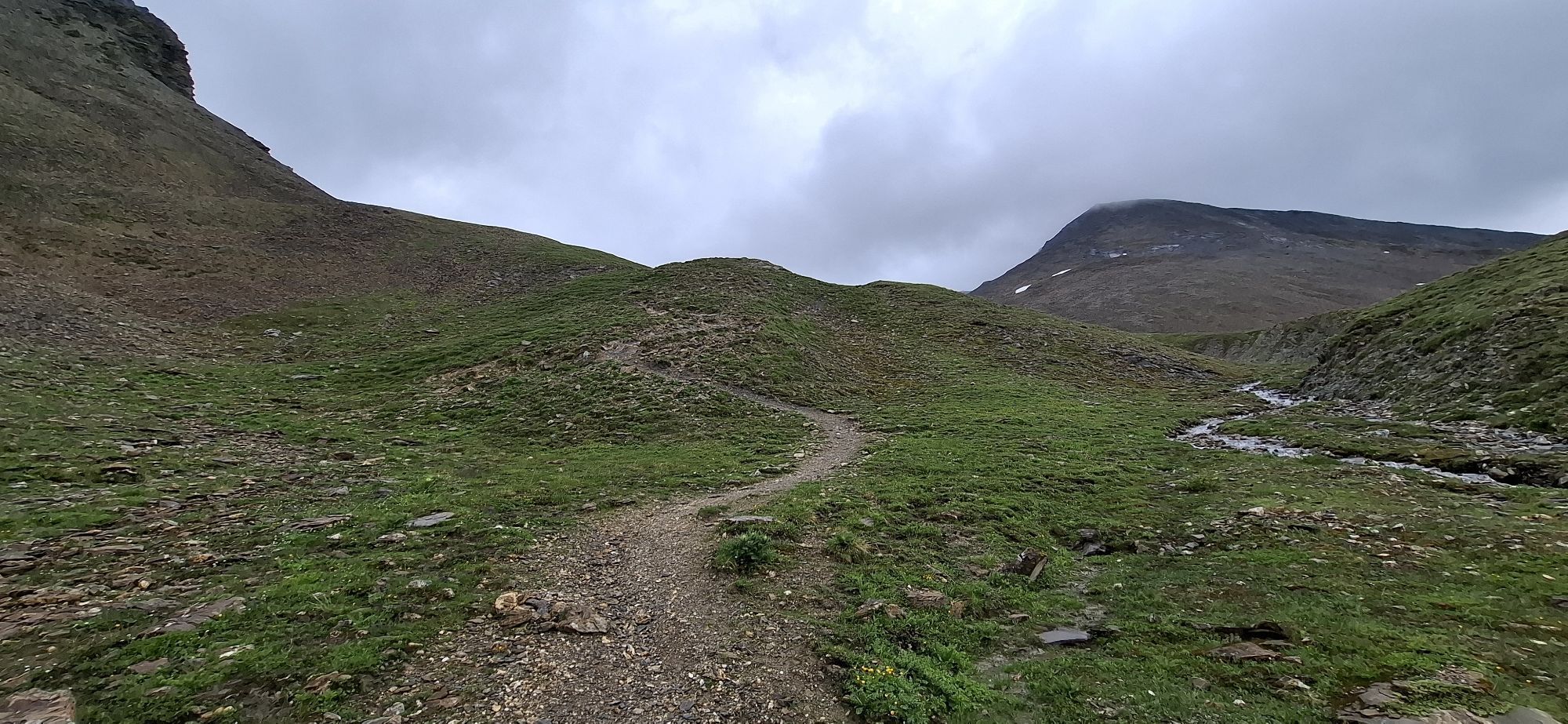
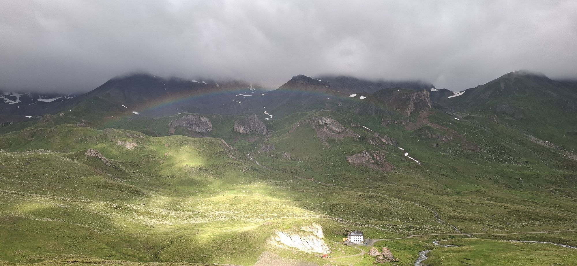
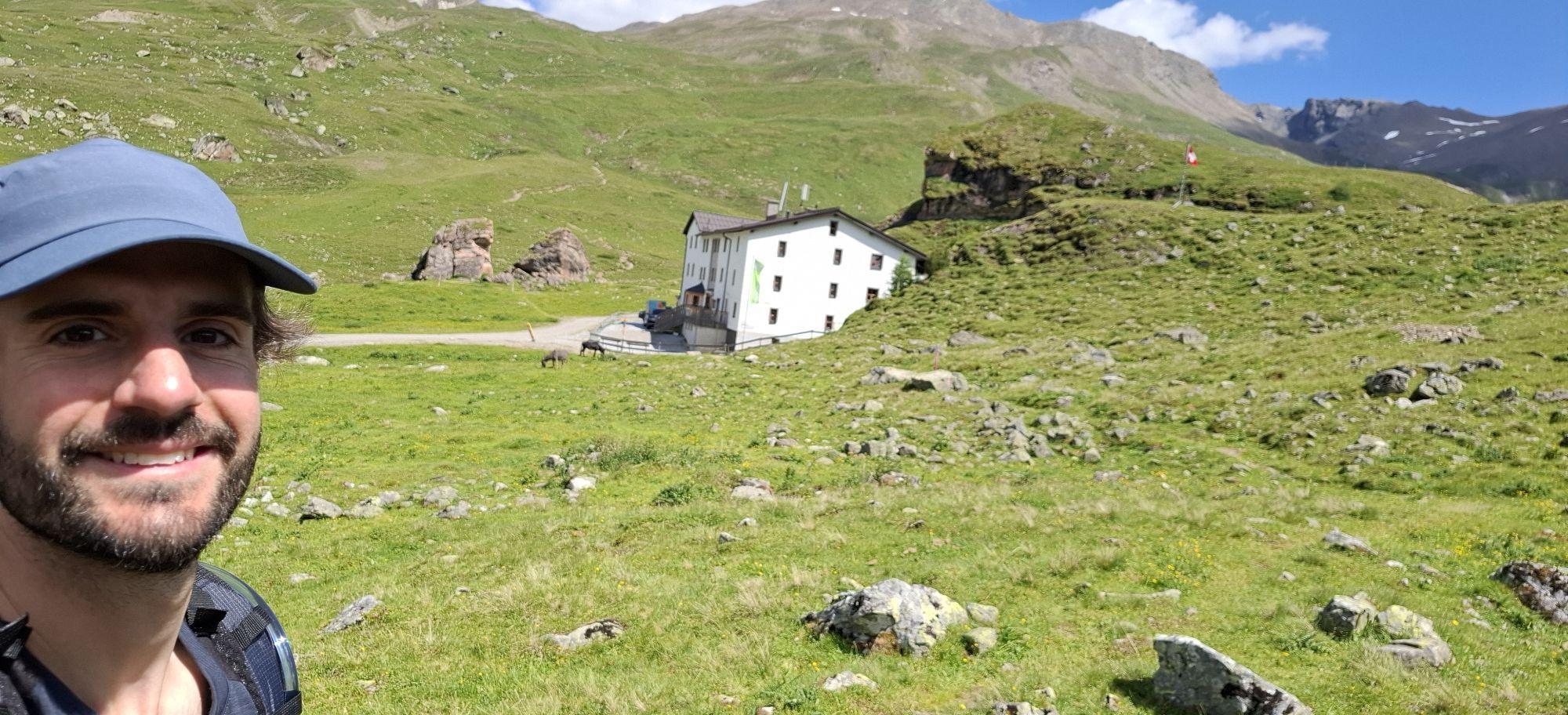
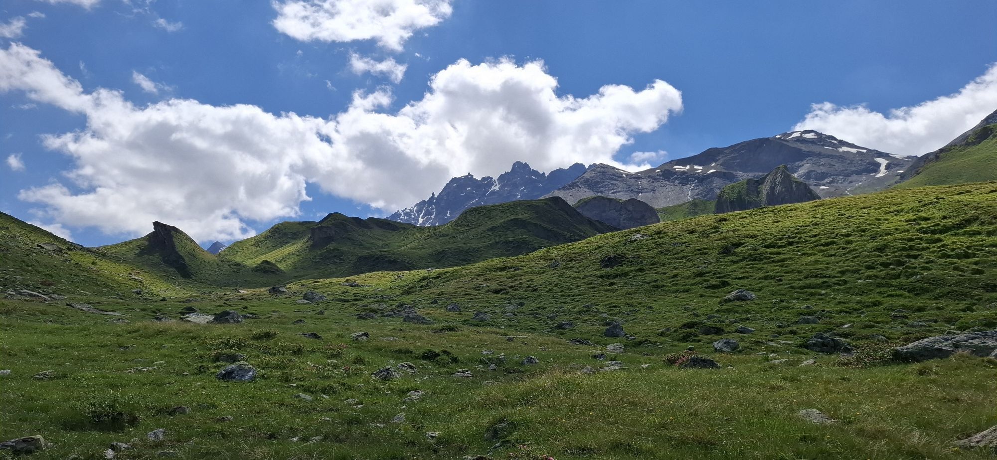
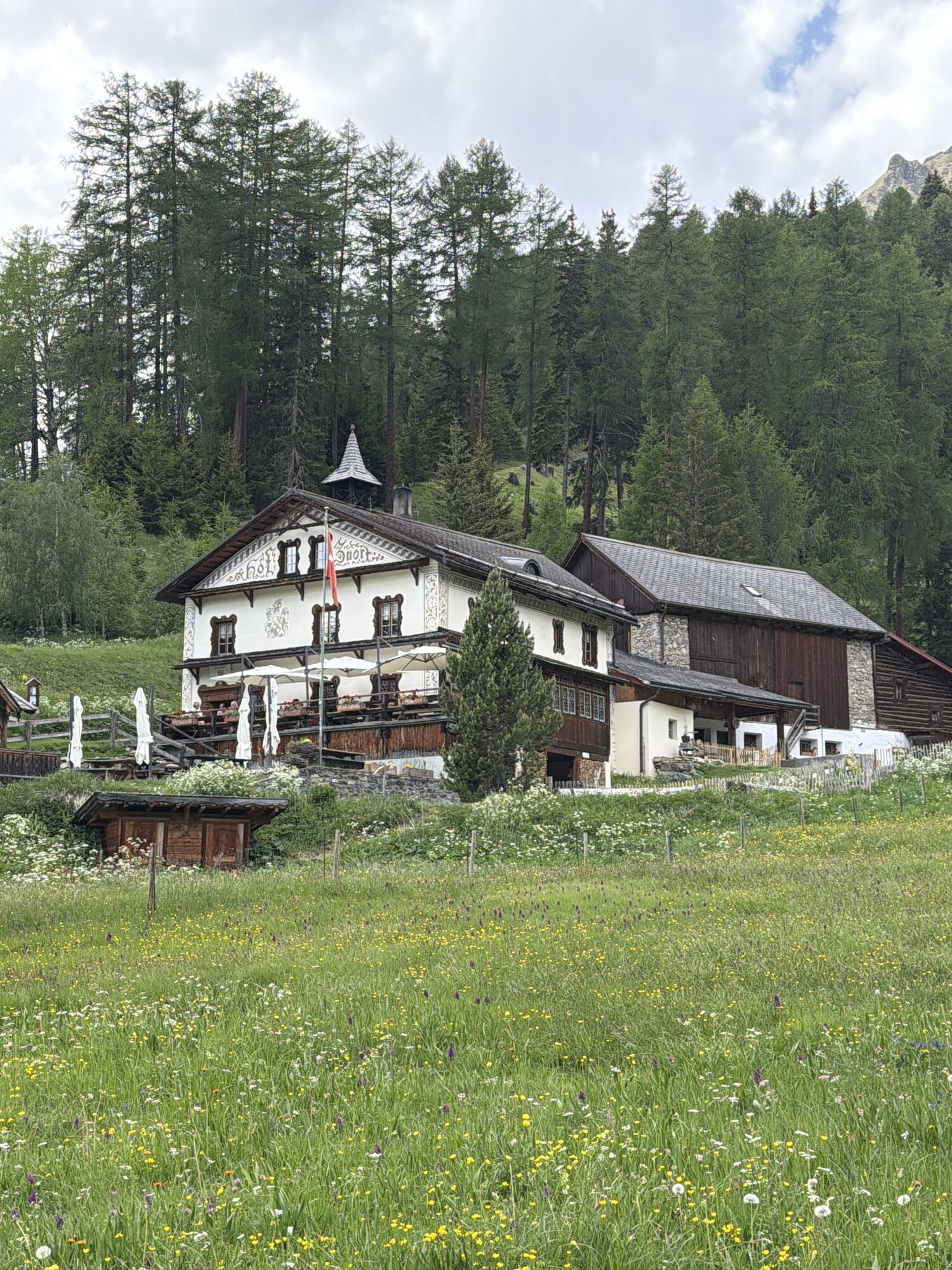
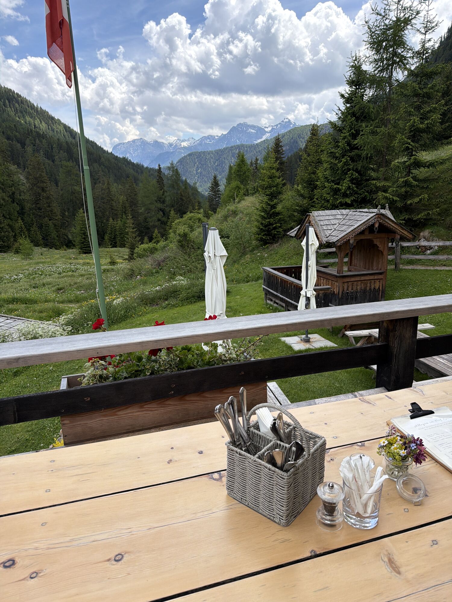
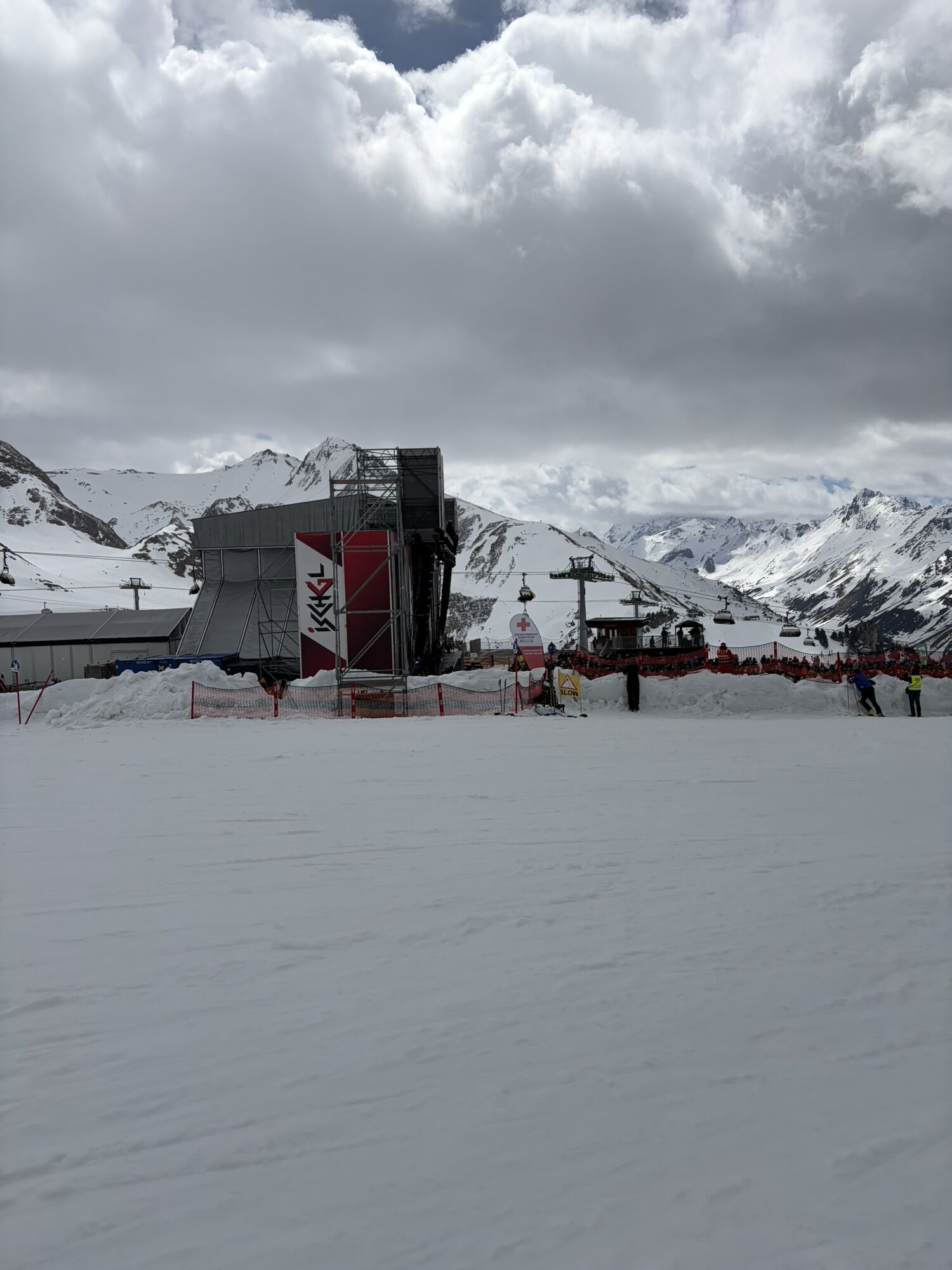
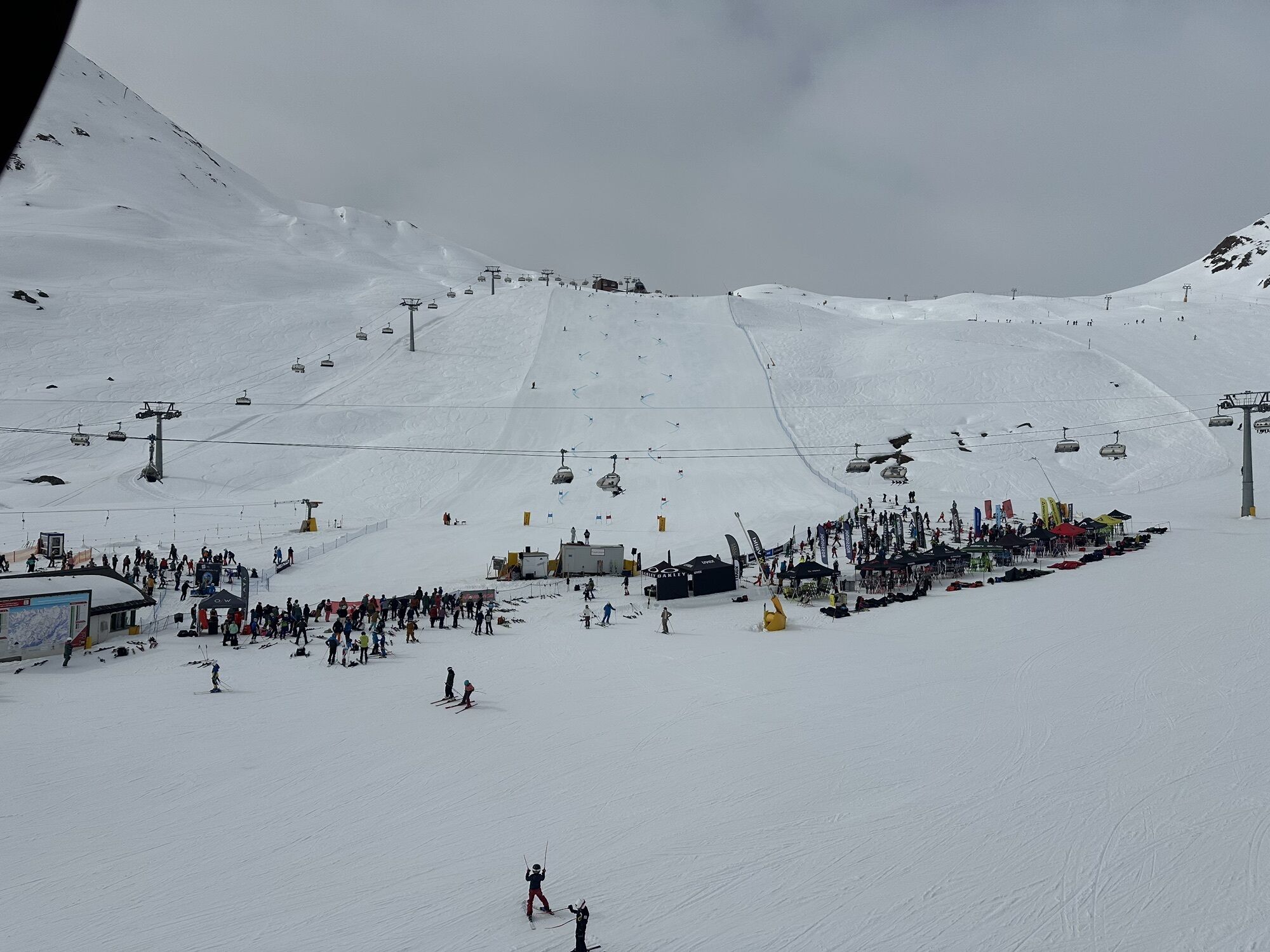
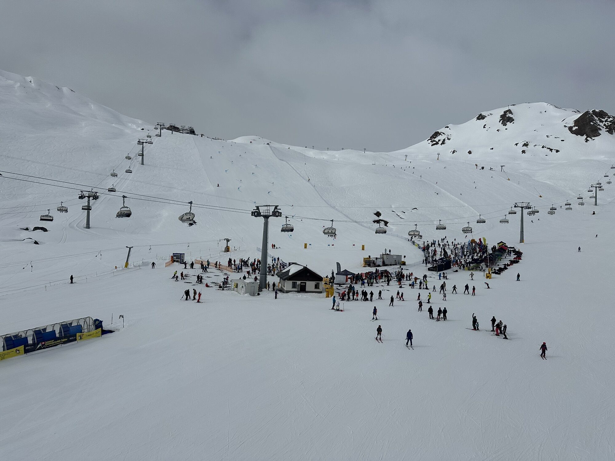
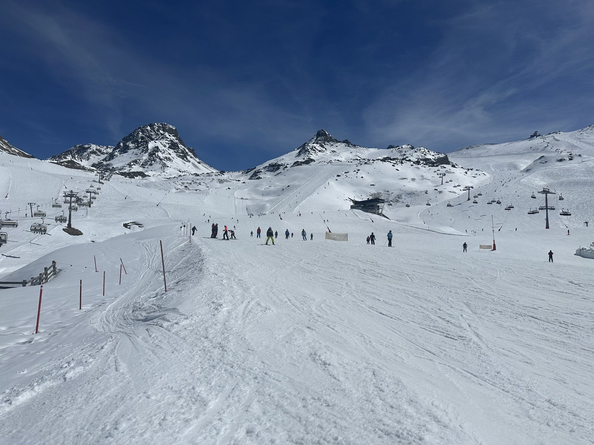
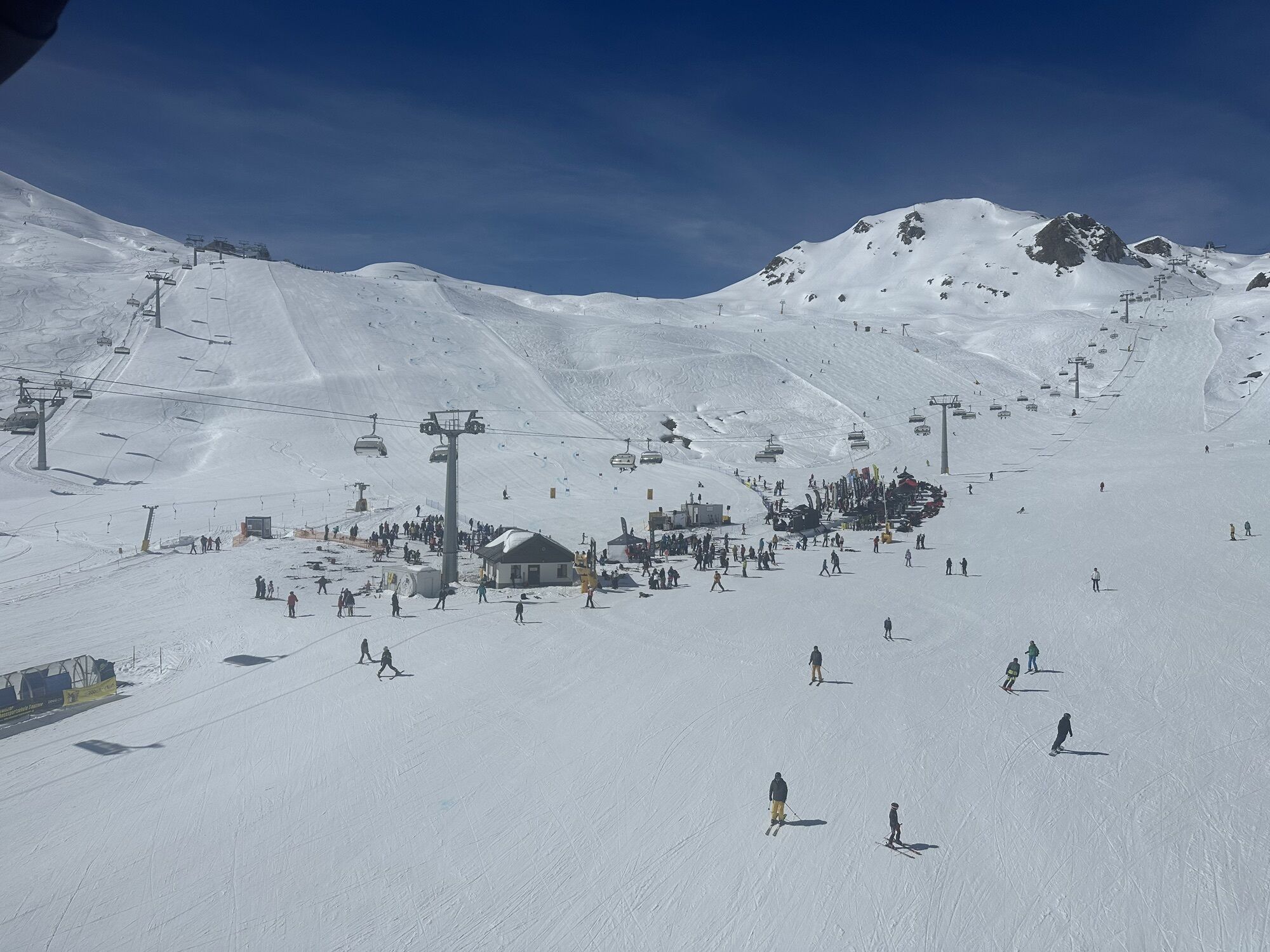
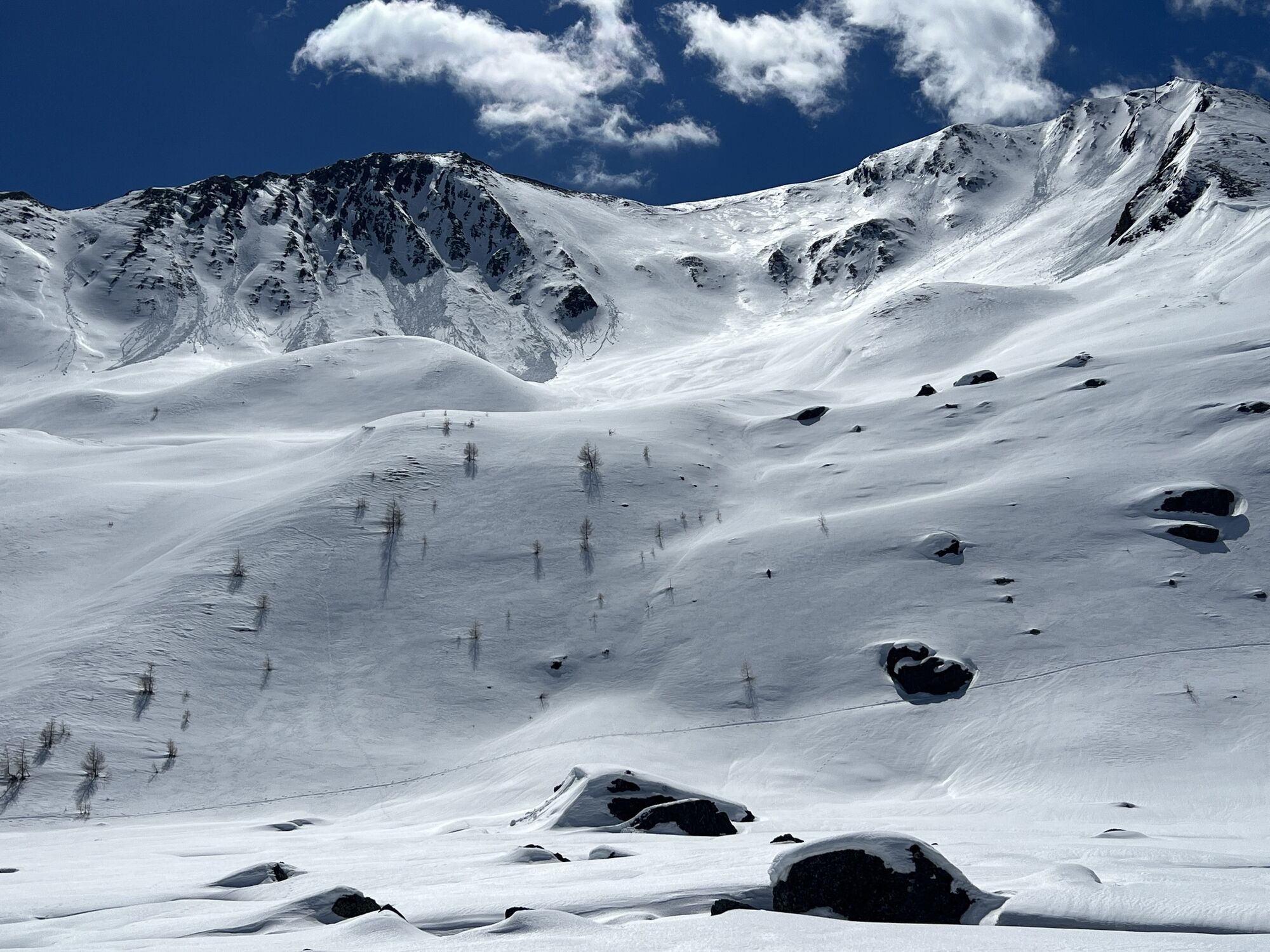
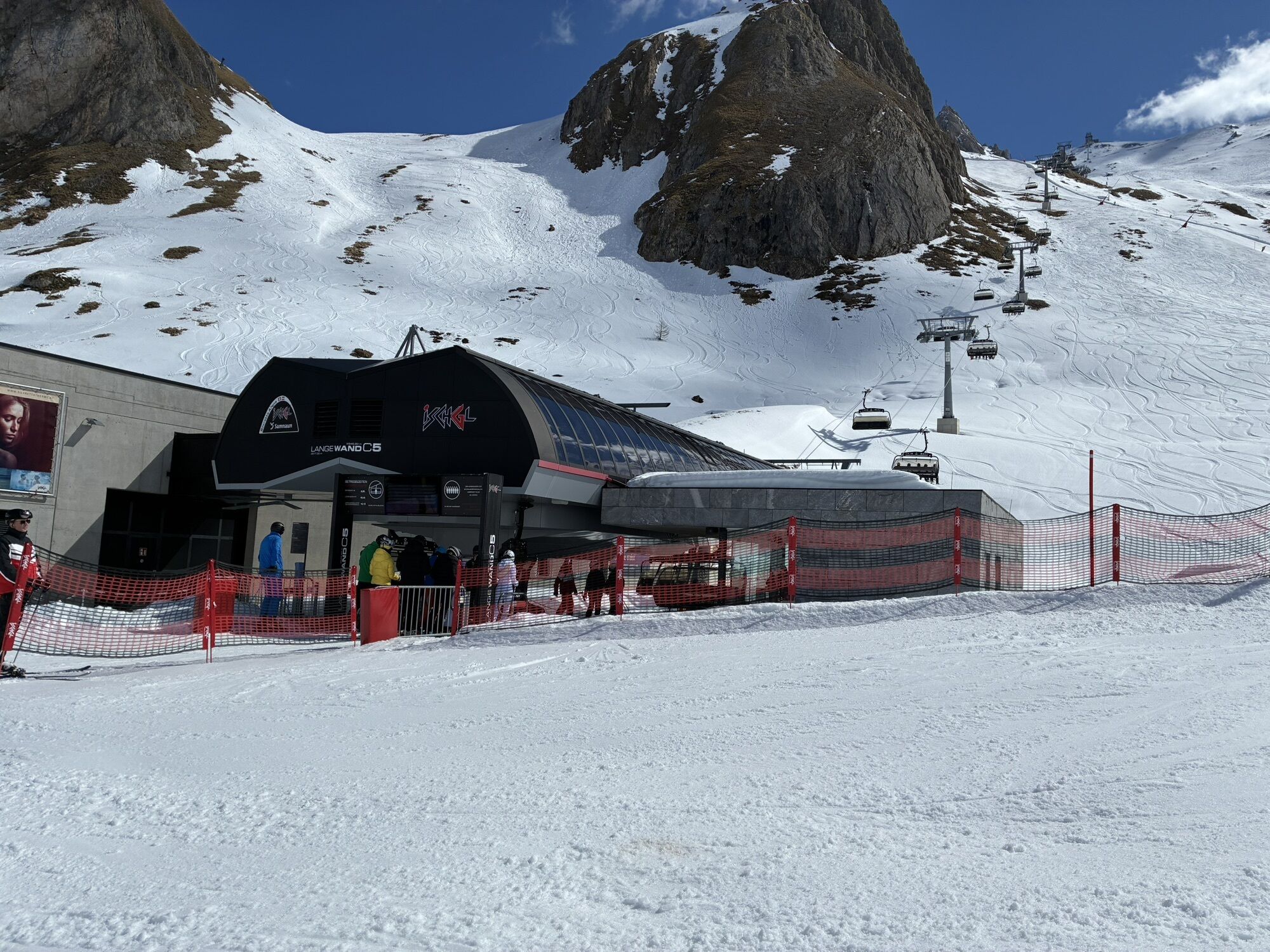
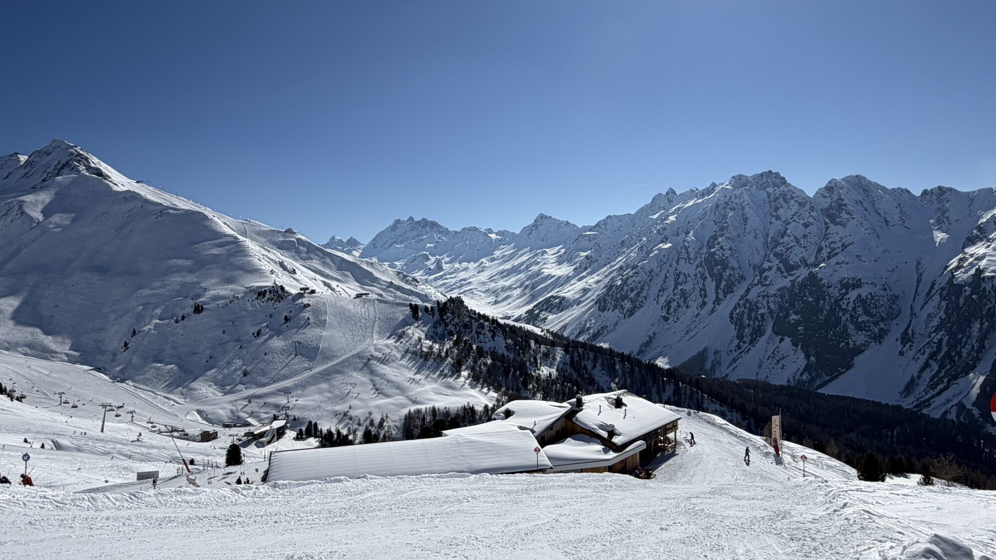
From Samnaun with the mountain railway or by muscle power to the Viderjoch and over the Austrian border to the Heidelberger Hütte, over the Fimber Pass back into the Val Sinestra and finally via the Engadine...
From Samnaun with the mountain railway or by muscle power to the Viderjoch and over the Austrian border to the Heidelberger Hütte, over the Fimber Pass back into the Val Sinestra and finally via the Engadine village of Sent to the stage finish in Scuol.

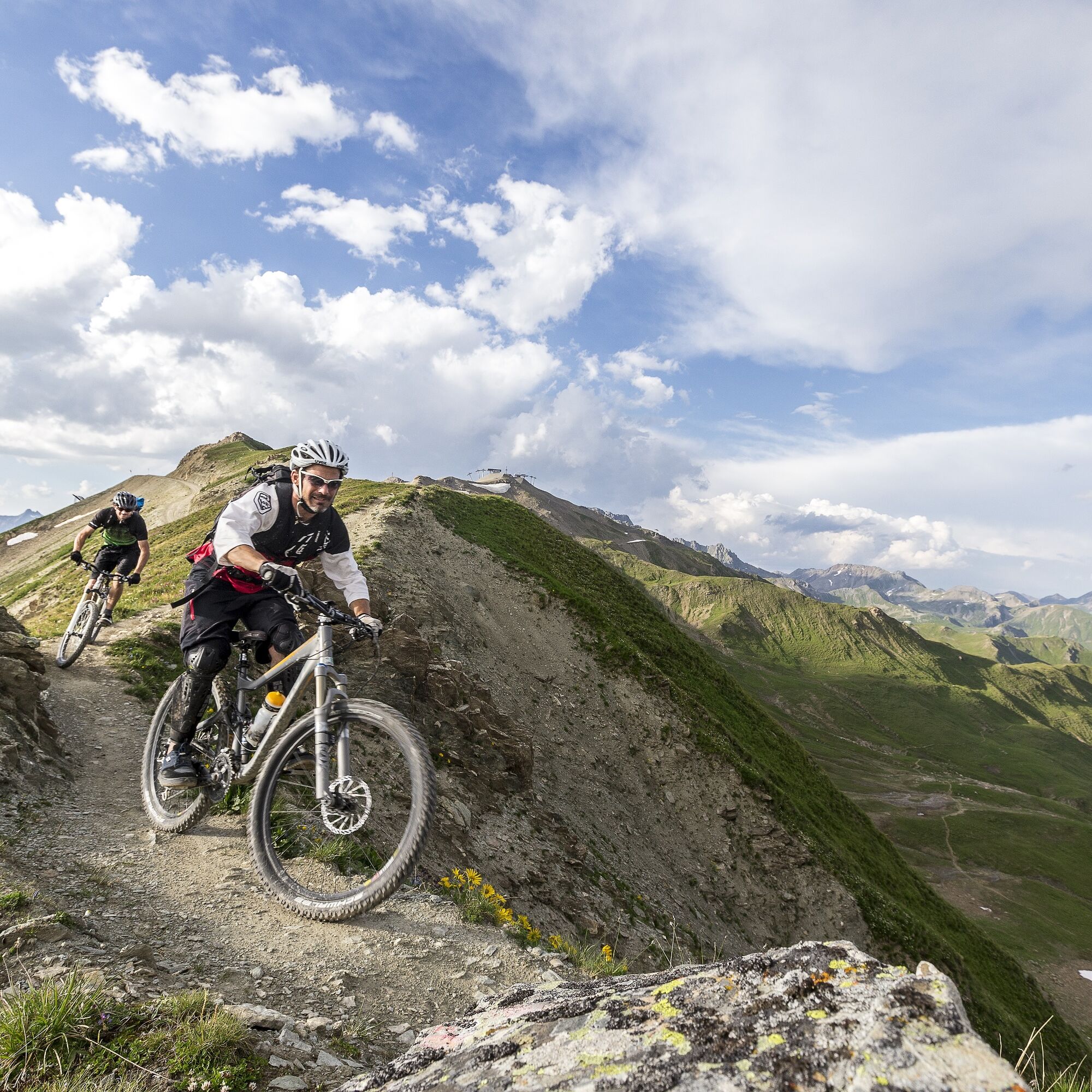
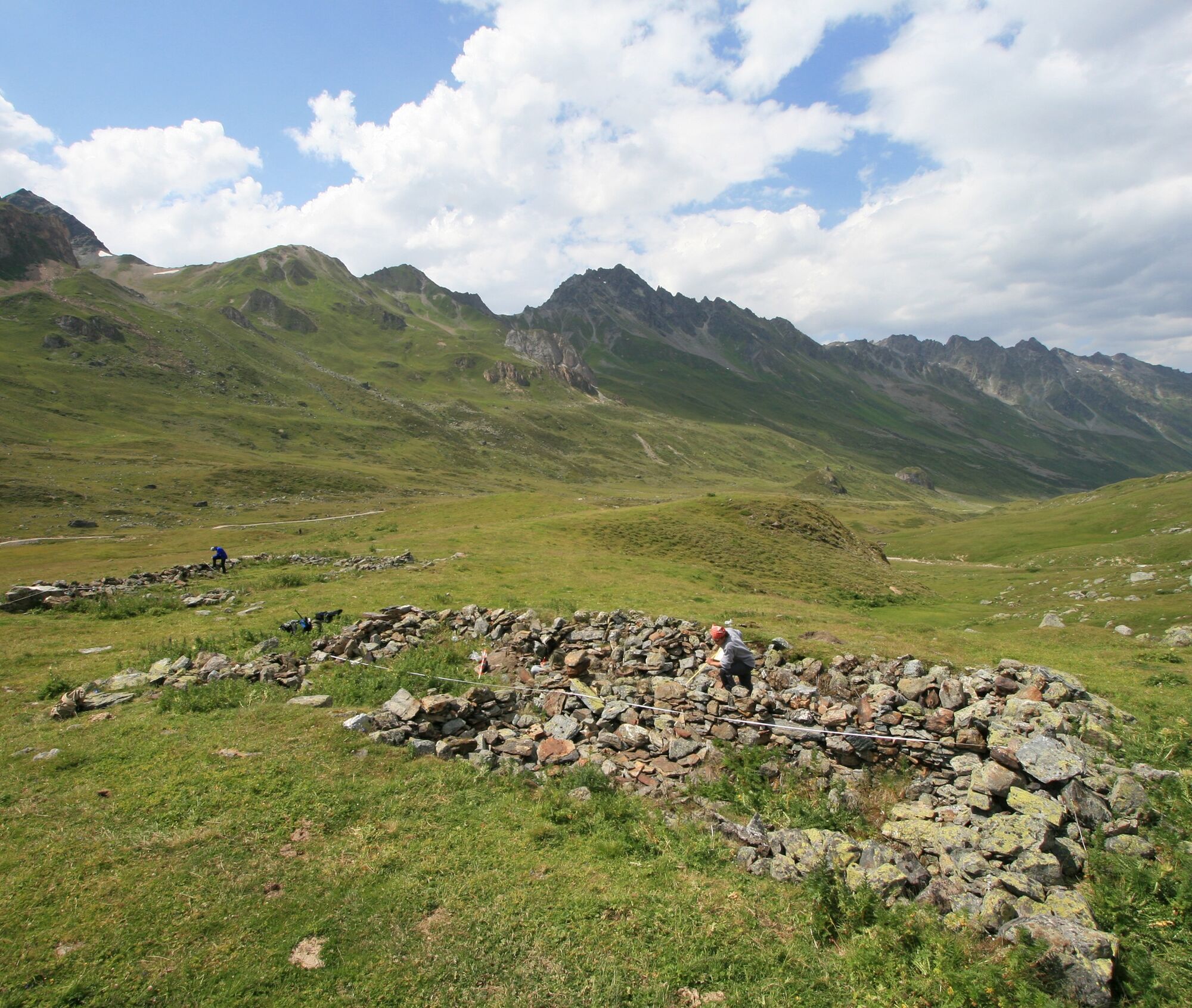
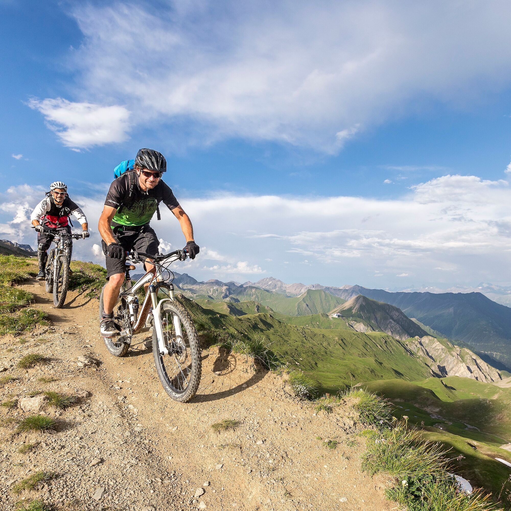

This route is only signposted in one direction: Samnaun - Scuol
Take your identity papers with you, as the route crosses borders.
Beware: snowfields possible into summer months on high-level sections.
As far as Samnaun:
Then from Vinadi turn left towards Samnaun From the east: via Landeck / Austria in the direction of Reschenpass on the B180, from Kajetansbrücke in the direction of Spiss - Samnaun on the L348 From the south: via Reschenpass to Kajetansbrücke, then towards Spiss - Samnaun on the L348To Samnaun:
With the Rhaetian Railway (from Chur, Landquart/Prättigau or from the Upper Engadine) hourly to Scuol-Tarasp stationContinue by PostBus to the Samnaun-Ravaisch PostBus stop (line 921, hourly connections)Samnaun local bus: hourly connections to Samnaun-RavaischFree public car park at the valley station of the double-decker cable car, Samnaun-Ravaisch
Paid car park at the Scuol mountain railway, at the railway station or in the village
Carry identification as this is a cross-border route.
Webcams del recorrido
-
Ischgl Idalpe
-
Motta Naluns
-
Pardatschgrat
-
Paznauner Taja
-
Scuol
-
Schloss Tarasp
-
Ischgl - Palinkopf
-
Ftan Prui
-
Palinkopf
-
Greitspitze
-
Ischgl - Palinkopf
-
Motta Naluns
-
Motta Naluns
-
Motta Naluns
-
Motta Naluns
-
Motta Naluns
-
Motta Naluns
-
Samnaun - Alp Trida Sattel
-
Alp Trida
-
Alp Trida
-
Alp Trida
-
Alp Trida
-
Alp Trida
-
Samnaun - Compatsch
-
Samnaun - Dorf
-
Ftan
-
Ischgl - Idalp
-
Sent
-
Ftan
-
Tarasp - Engadin
-
Sent
-
Ischgl - Erlebnispark Vider Truja, 2.300m
-
Ischgl
-
Alp Trida
-
Alp Trida
Infórmate
Siempre en directo con más de 9.500 webcams. bergfex Como usuario Pro, ahora puede ver las webcams correspondientes a muchos tours en la app de tours desde. Esto le permite ver las condiciones actuales directamente.
Rutas populares en los alrededores
-
5,0
Menta Alm - Scheibenalm
luzSenderismo 11,4 km -
4,6
Sonnenkogel - Friedrichshafener lodge
medioSenderismo 13,2 km -
4,7
Jamtal lodge
medioSenderismo 19,6 km -
5,0
Rundwanderung Berglisee, Mathon
pesadoSenderismo 11,1 km -
5,0
Alpkogelbahn mountain station - Kops reservoir - Zeinisjoch - Galtür
luzSenderismo 15,7 km -
5,0
Samnaun Dorf – Muttler
pesadoSenderismo 14,8 km -
4,7
Around the Flimspitz from Alptrider Sattel
medioSenderismo 8,57 km -
4,0
Zeinisjoch
luzSenderismo 11,6 km -
3,6
Bergstation Silvretta nach Patznauener Taja
luzSenderismo 11,6 km -
3,0
Sonnenkogel
luzSenderismo 4,96 km
Senderismo y rastreo


No se pierda las ofertas y la inspiración para sus próximas vacaciones
Su dirección de correo electrónico se ha añadido a la lista de correo.





