






Begunjščica 2058 m: steep ski slopes above Ljubelj Pass
Nivel de dificultad: AD-

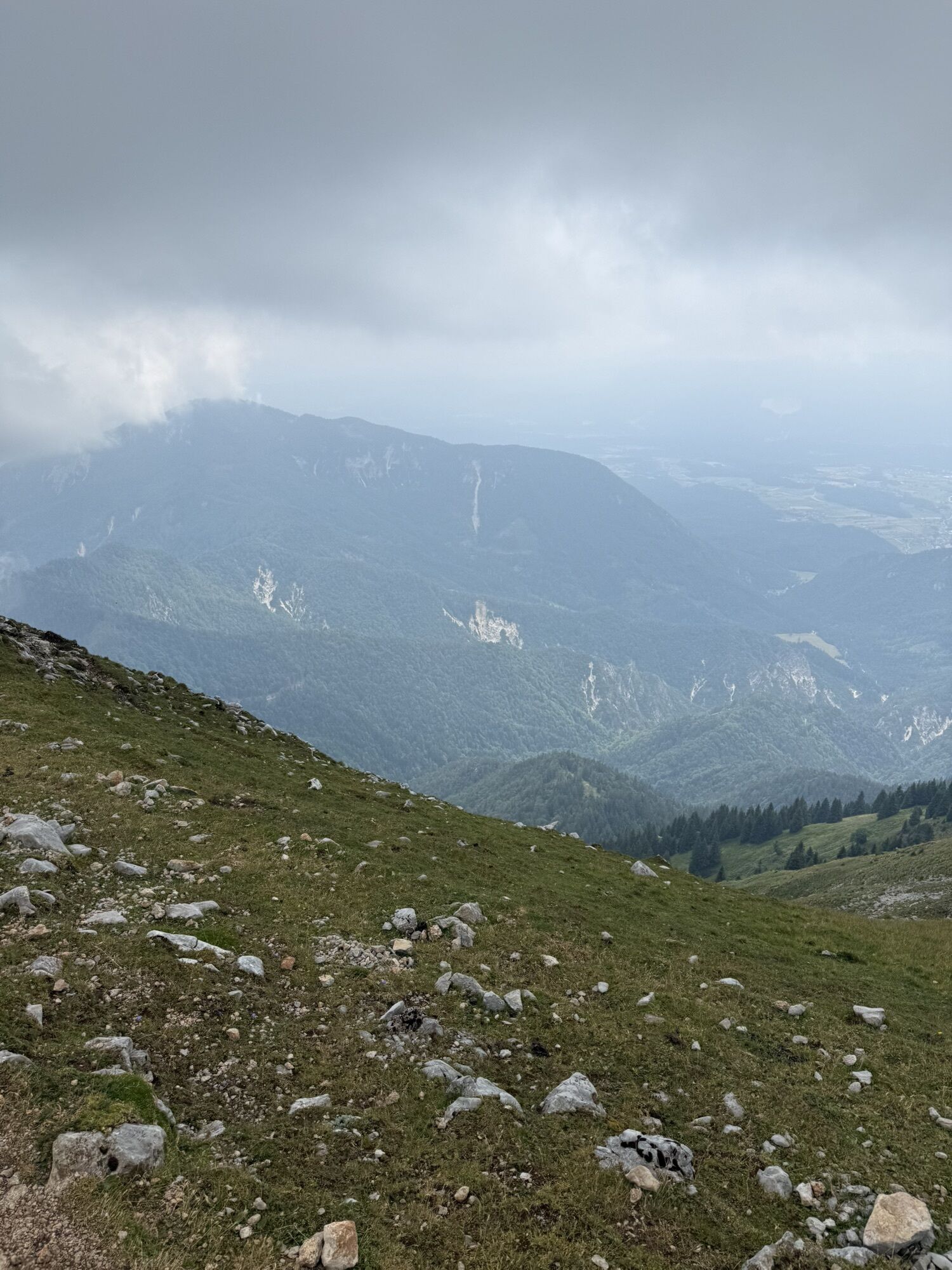
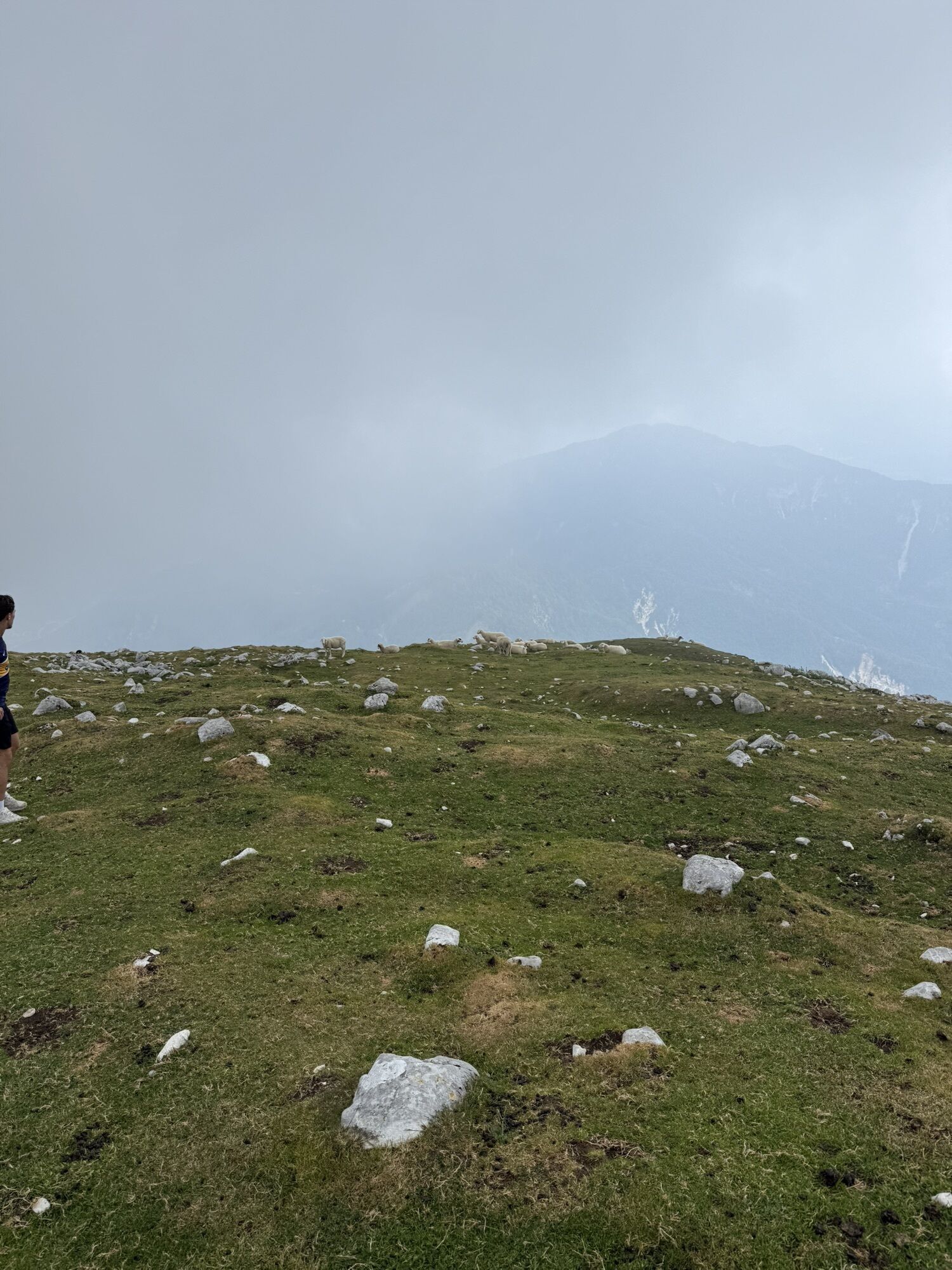
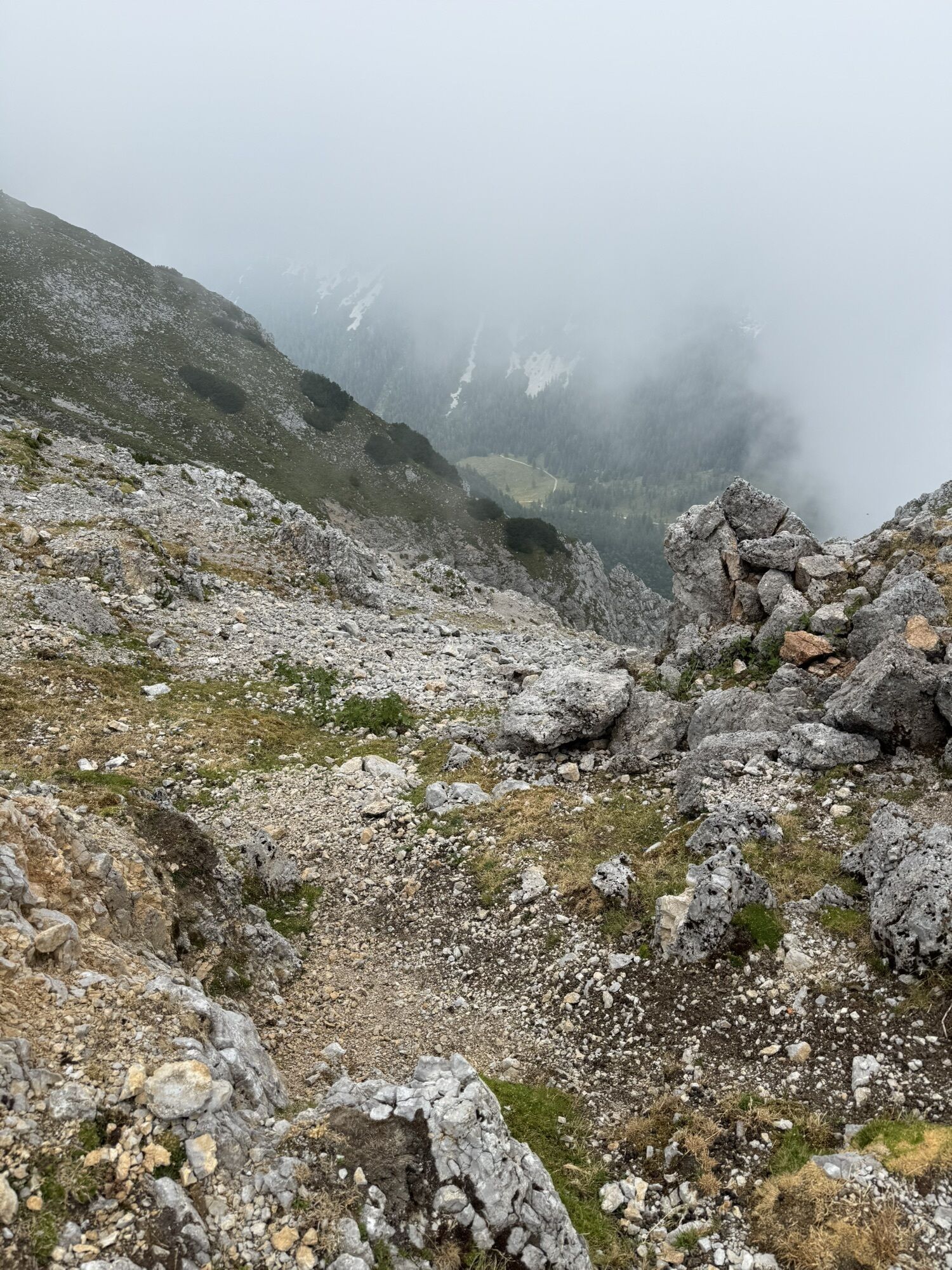
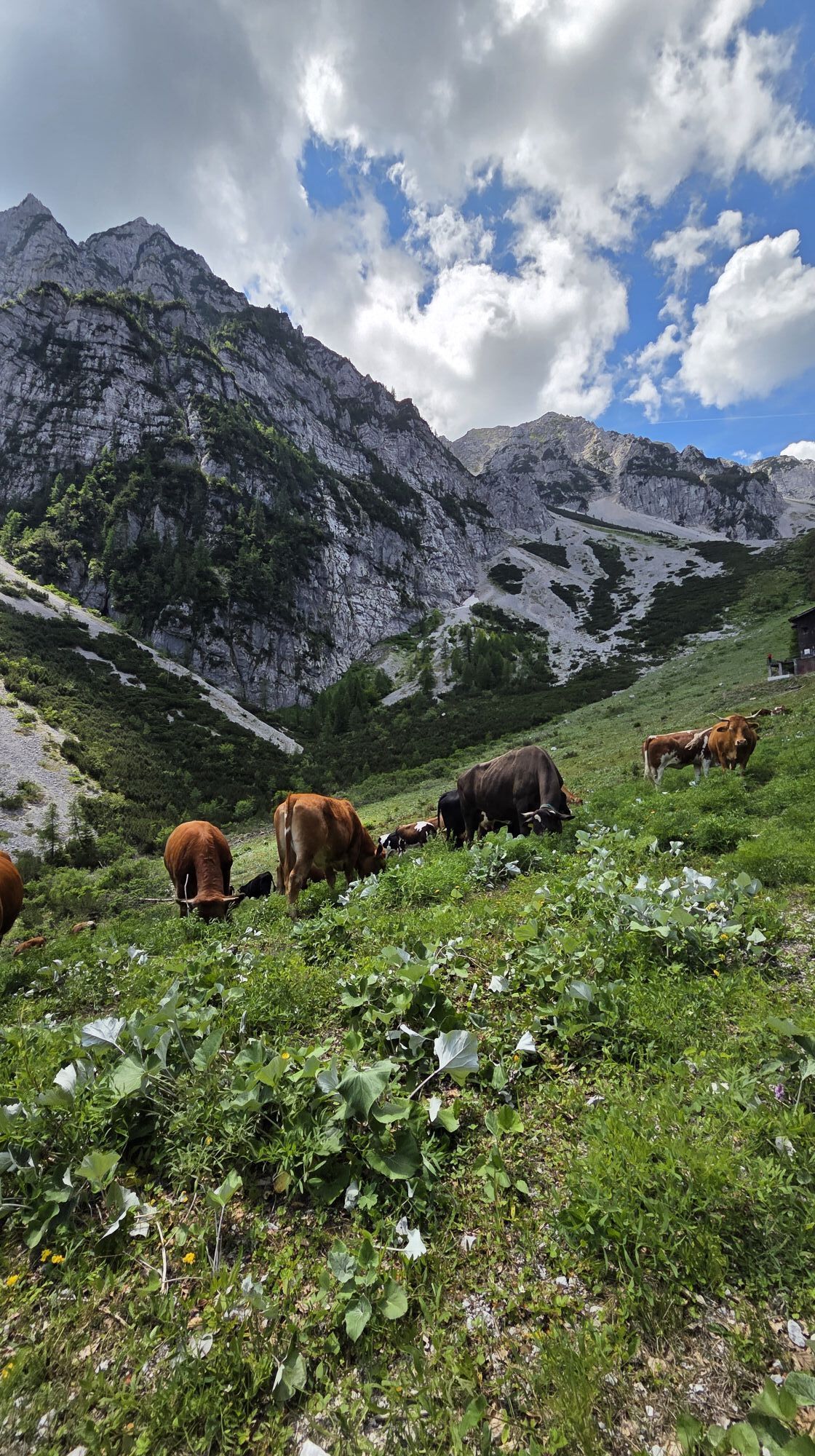
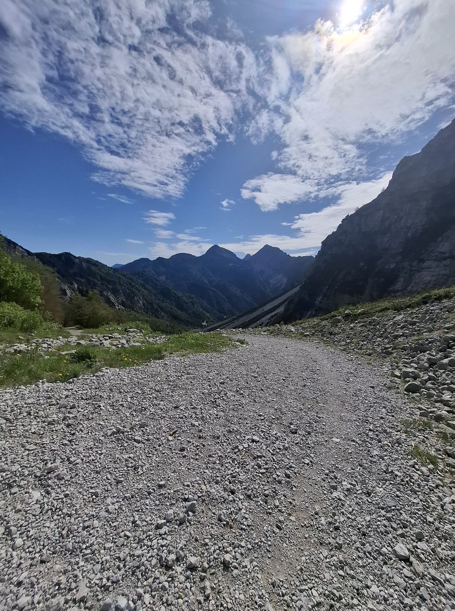
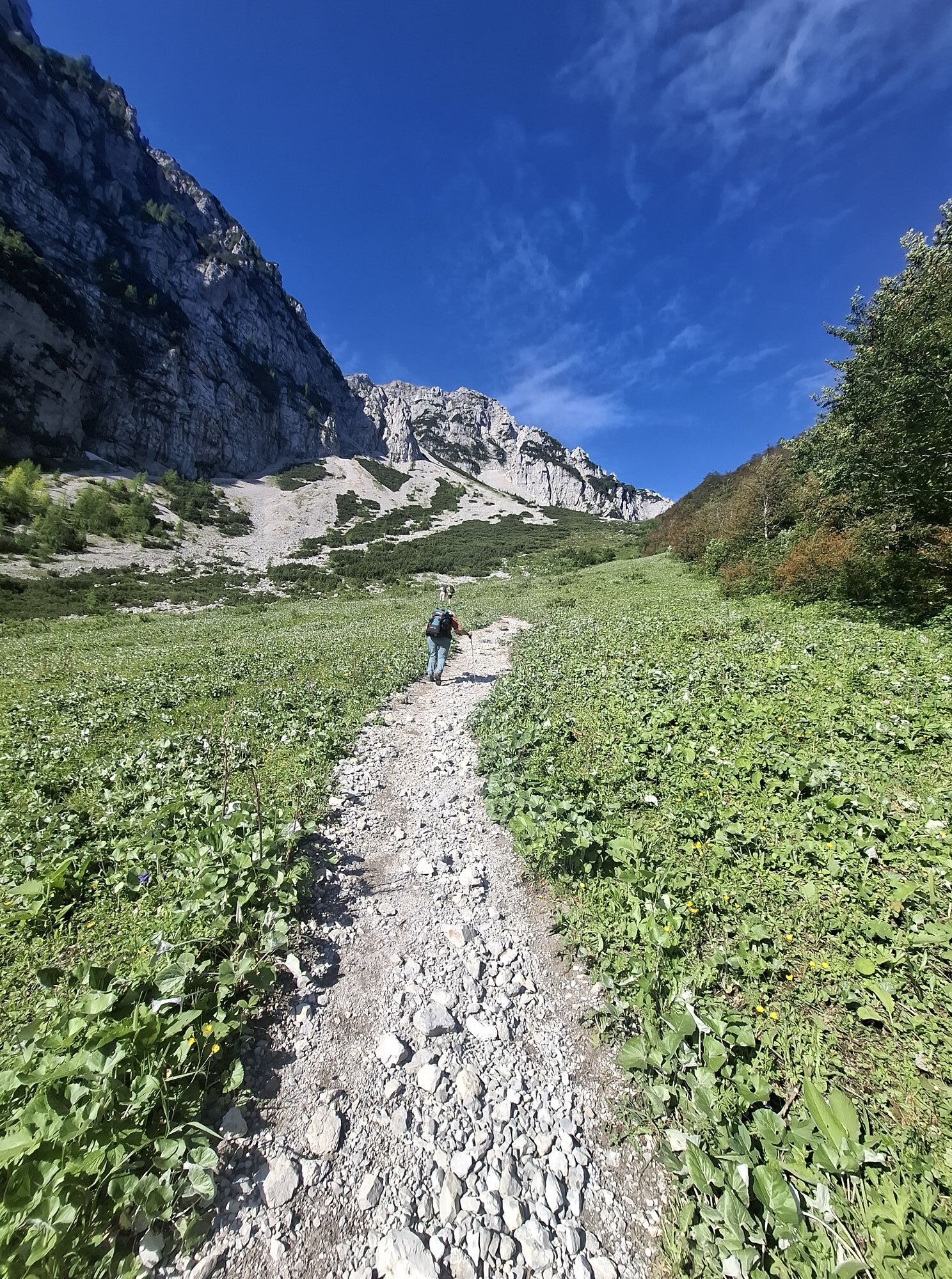
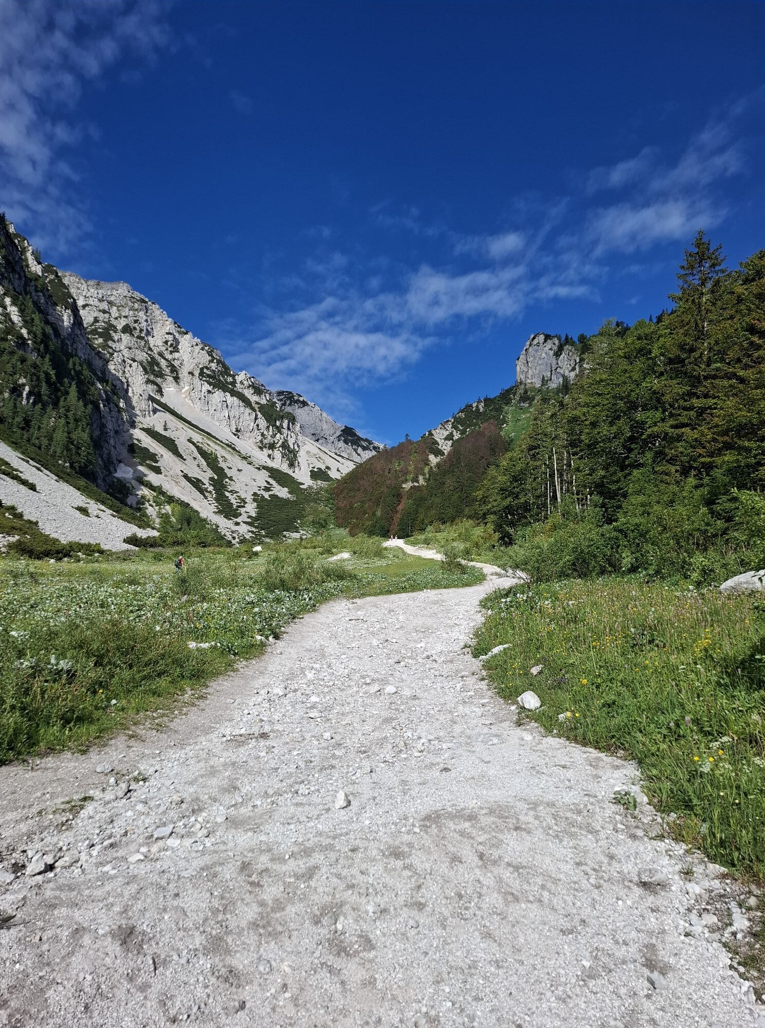
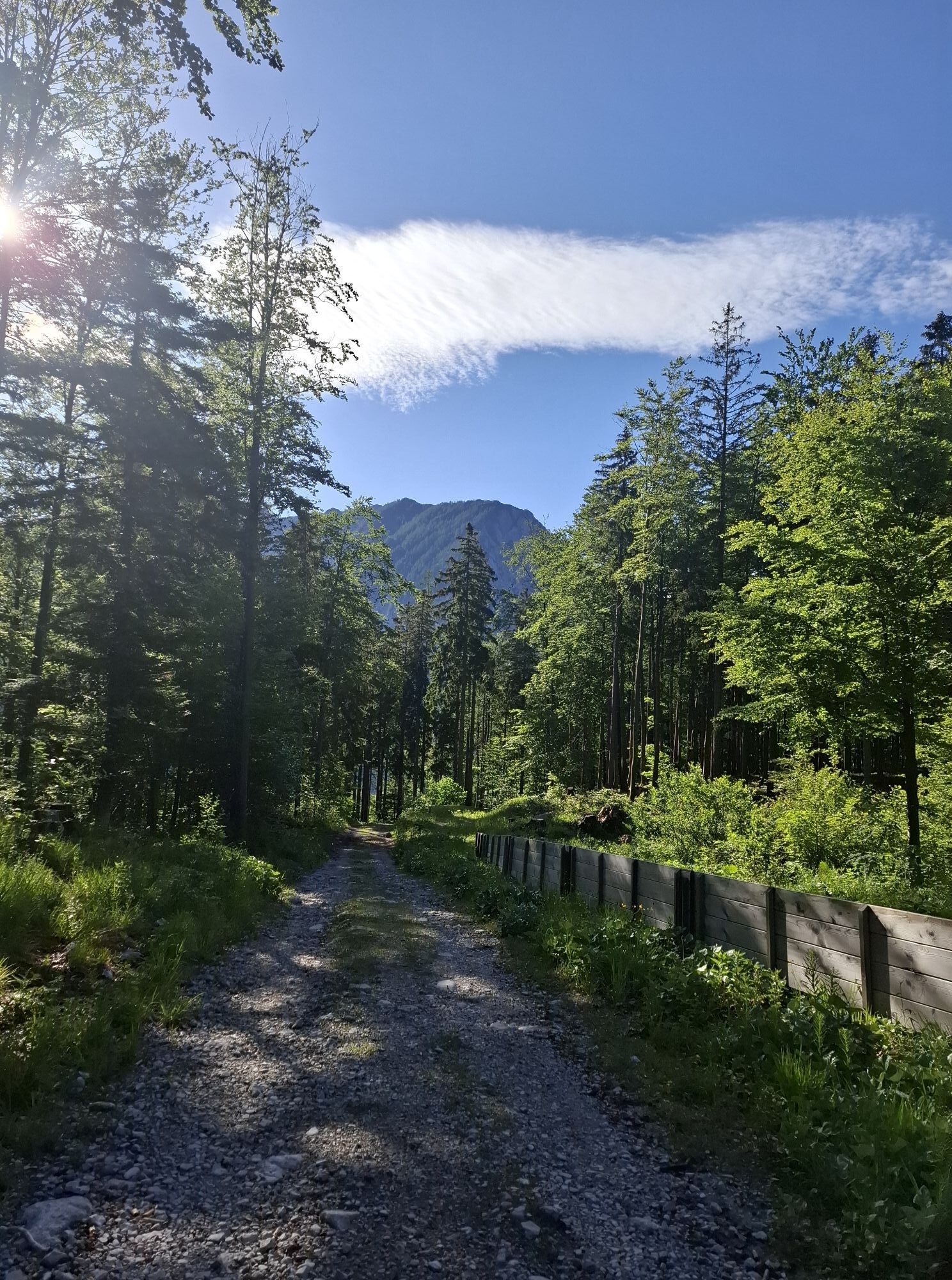
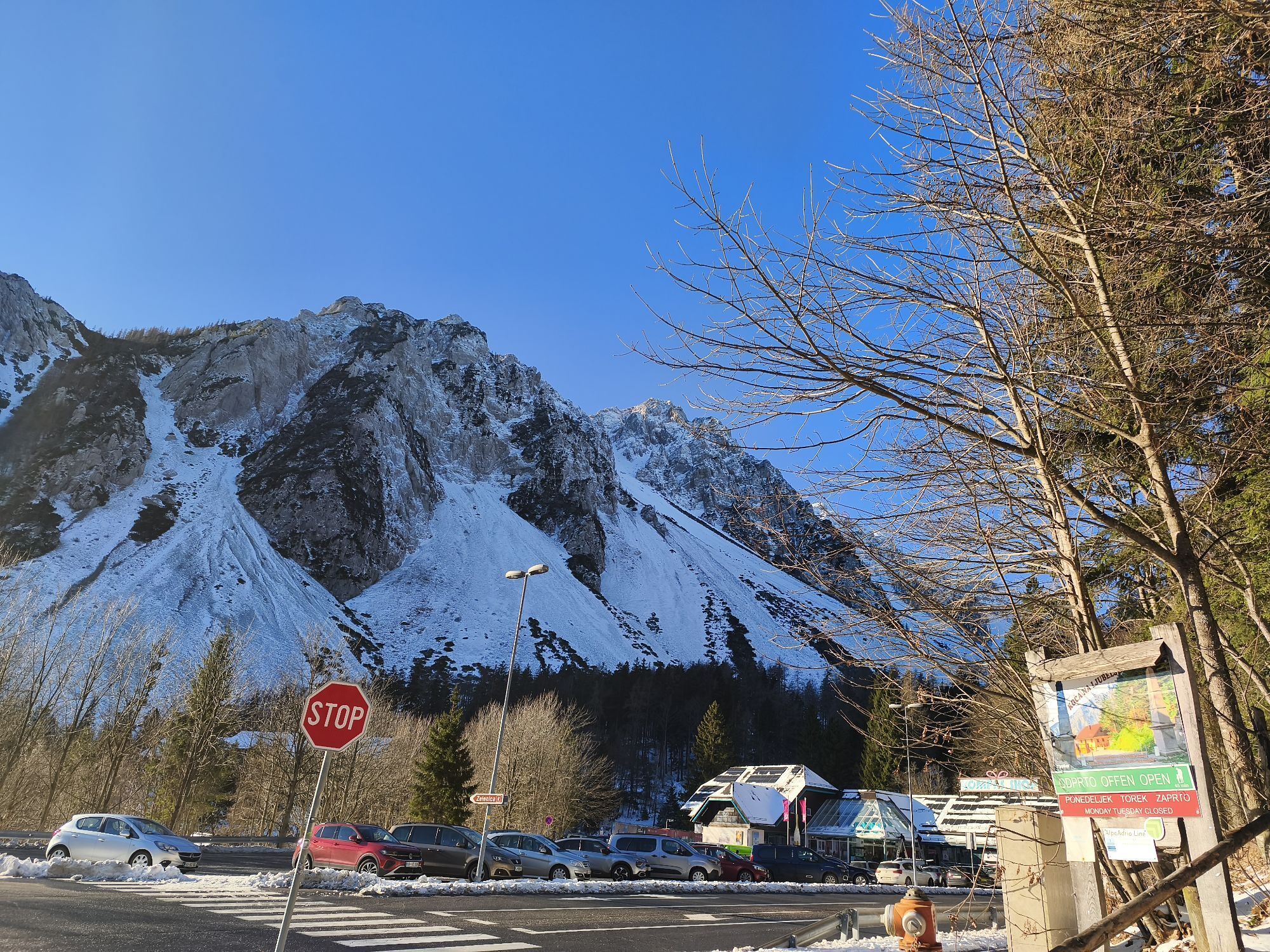
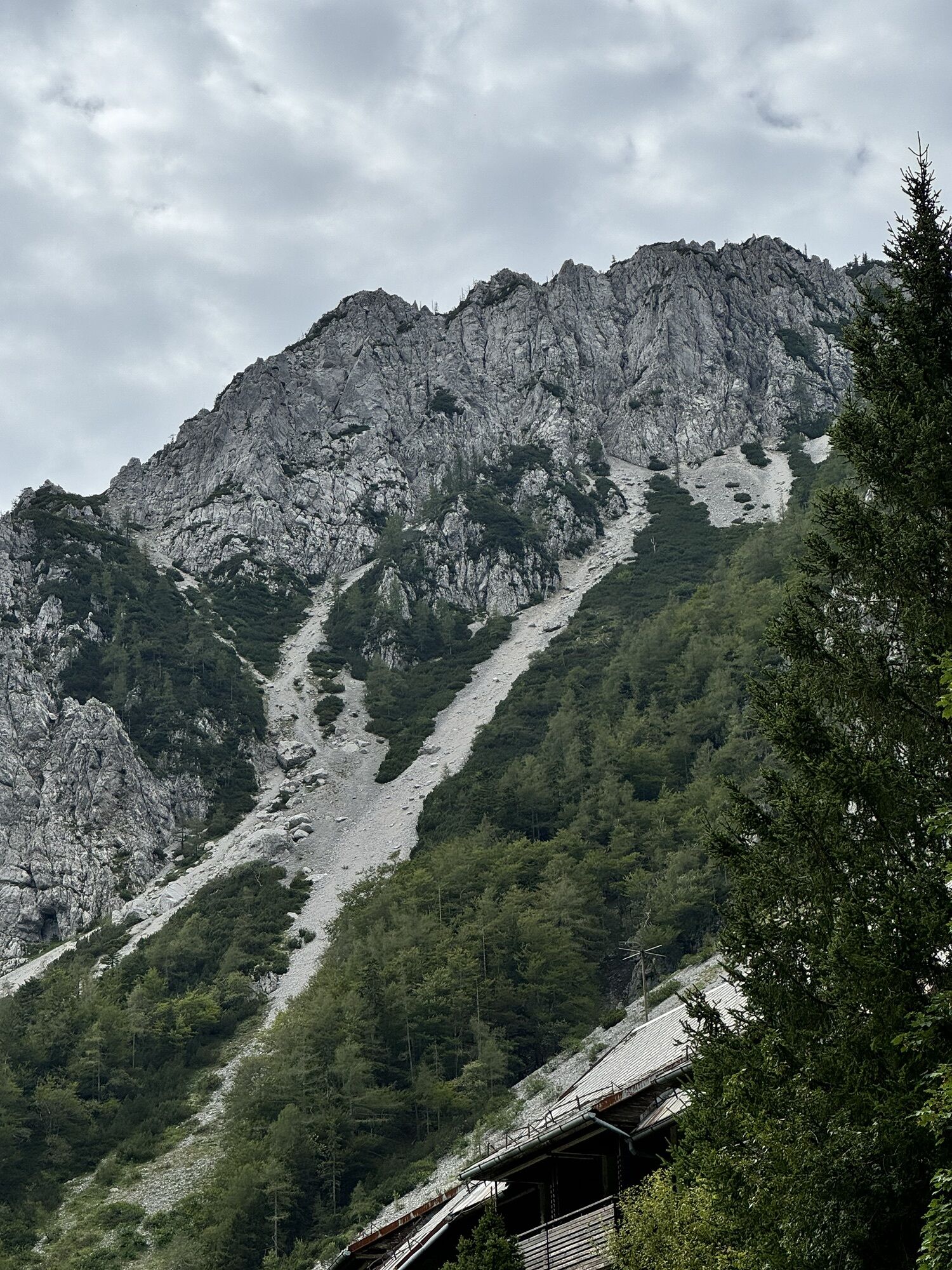
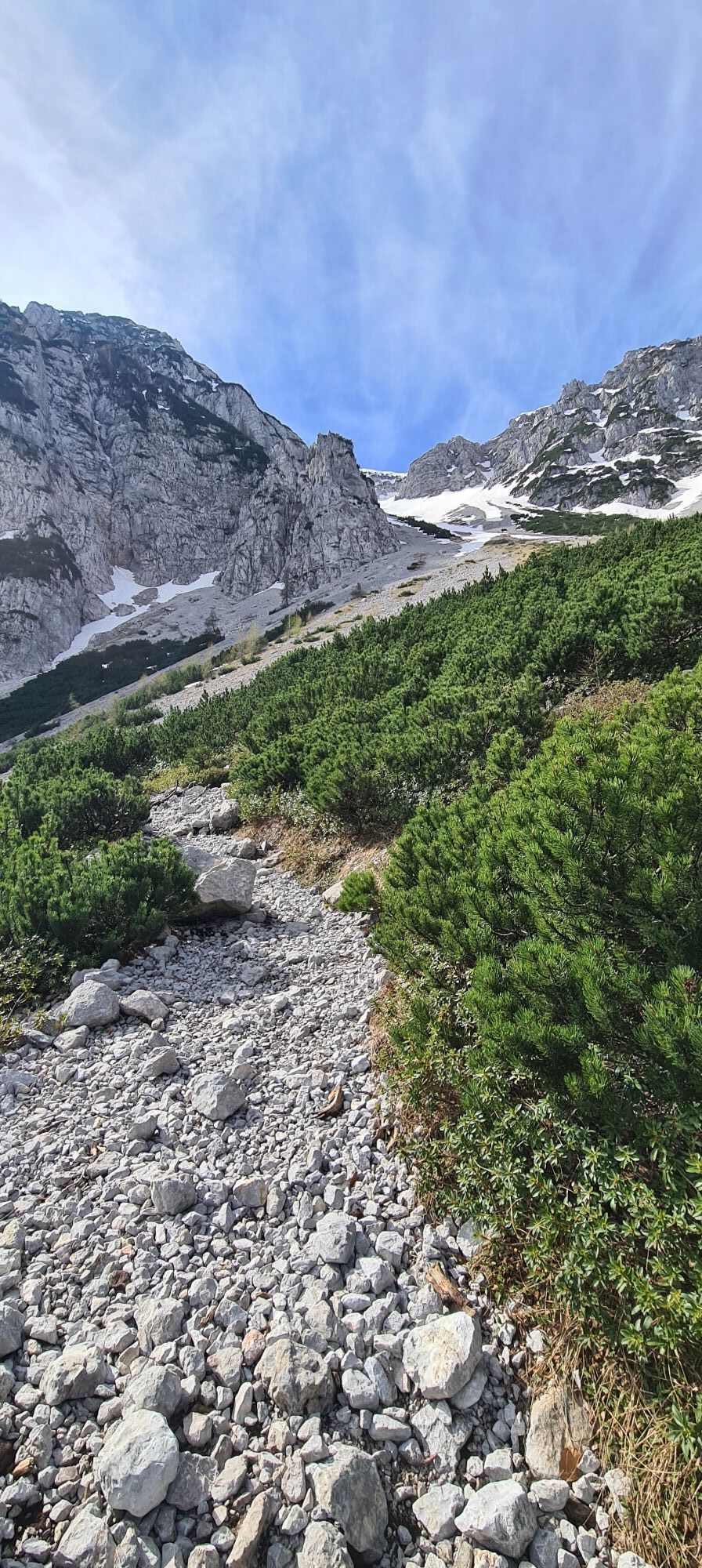
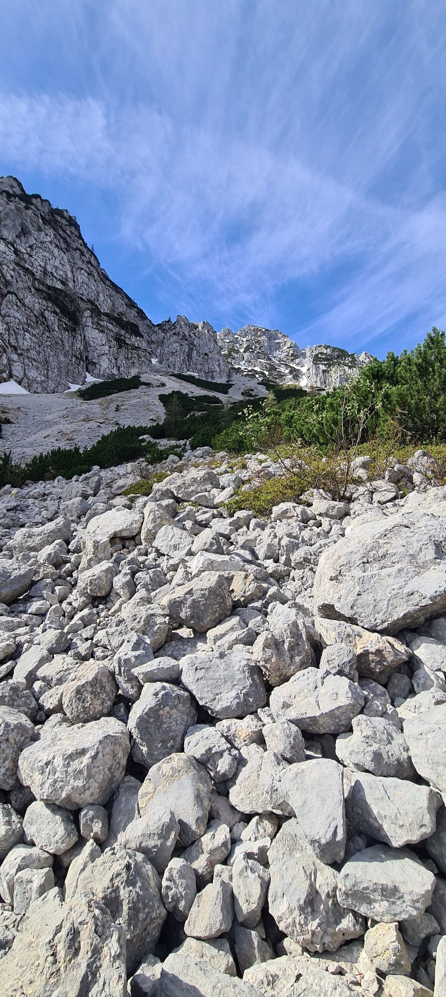
Begunjščica is the home mountain of Tržič. It is close to the locals, but also easily accessible to other visitors, as the well-maintained international road that connects Slovenia and Austria through...
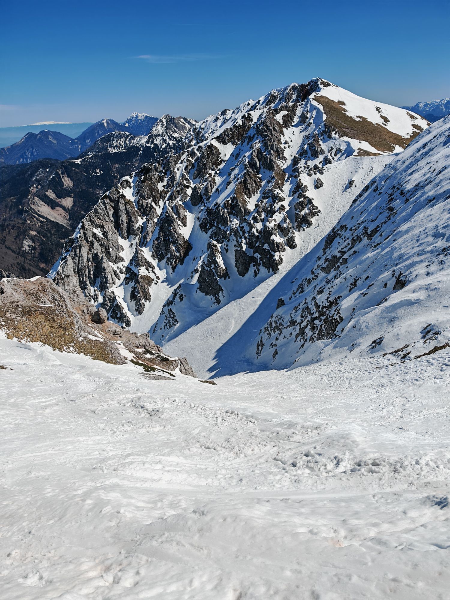
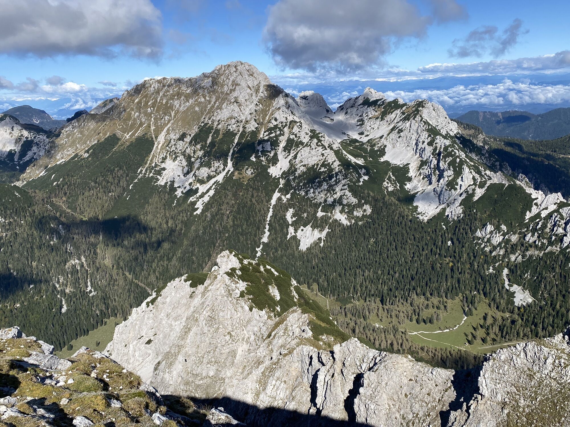
BegunjšÄica is an interesting but also demanding mountain for ski touring. On its northern side we find four “avalanche paths”, all of which begin on the ridge with a narrow couloir or gully, and then widen towards the valley into a broad fan that is snow-covered in winter and filled with scree in summer. The first, if we follow them in sequence from the starting point, the NE avalanche path, and the third, the Central couloir, already fall into the category of ski mountaineering descents in their upper sections. The second, the Šentanski avalanche path, and the last, the Smokuški avalanche path, are also suitable for less extreme skiers, but even in these two cases good conditions are required for a safe descent.
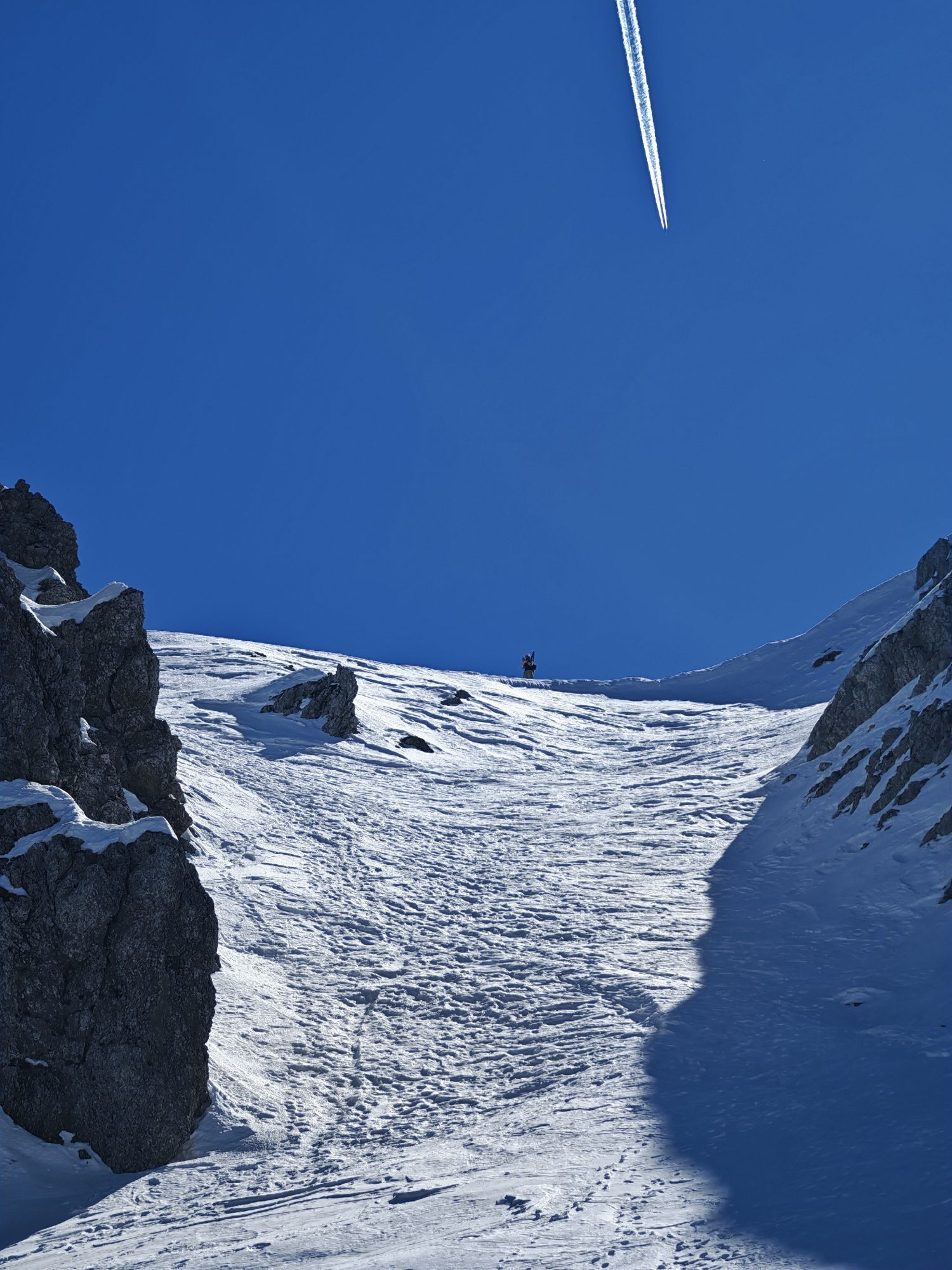
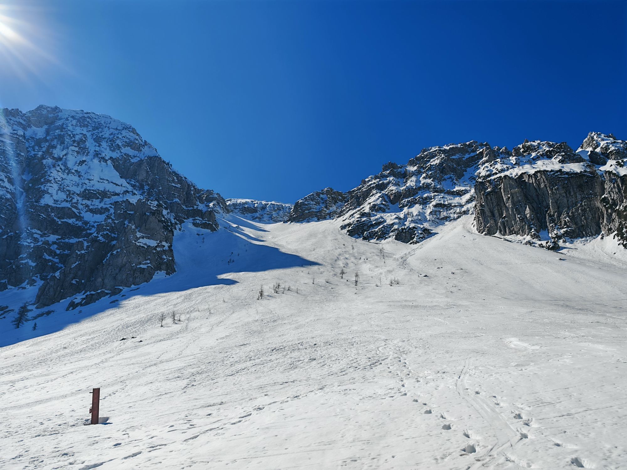
The Šentanski avalanche path is the least demanding of those listed, but due to its steepness it still represents a serious choice. It begins with a wide runout onto the abandoned Zelenica ski area; the higher we go, the narrower it becomes. Just below the ridge, a channel branching off to the right provides a relatively favourable exit from the steep terrain. From the ridge, we still need about half an hour to reach Veliki vrh, the highest point of BegunjšÄica. We ski back along the same route.
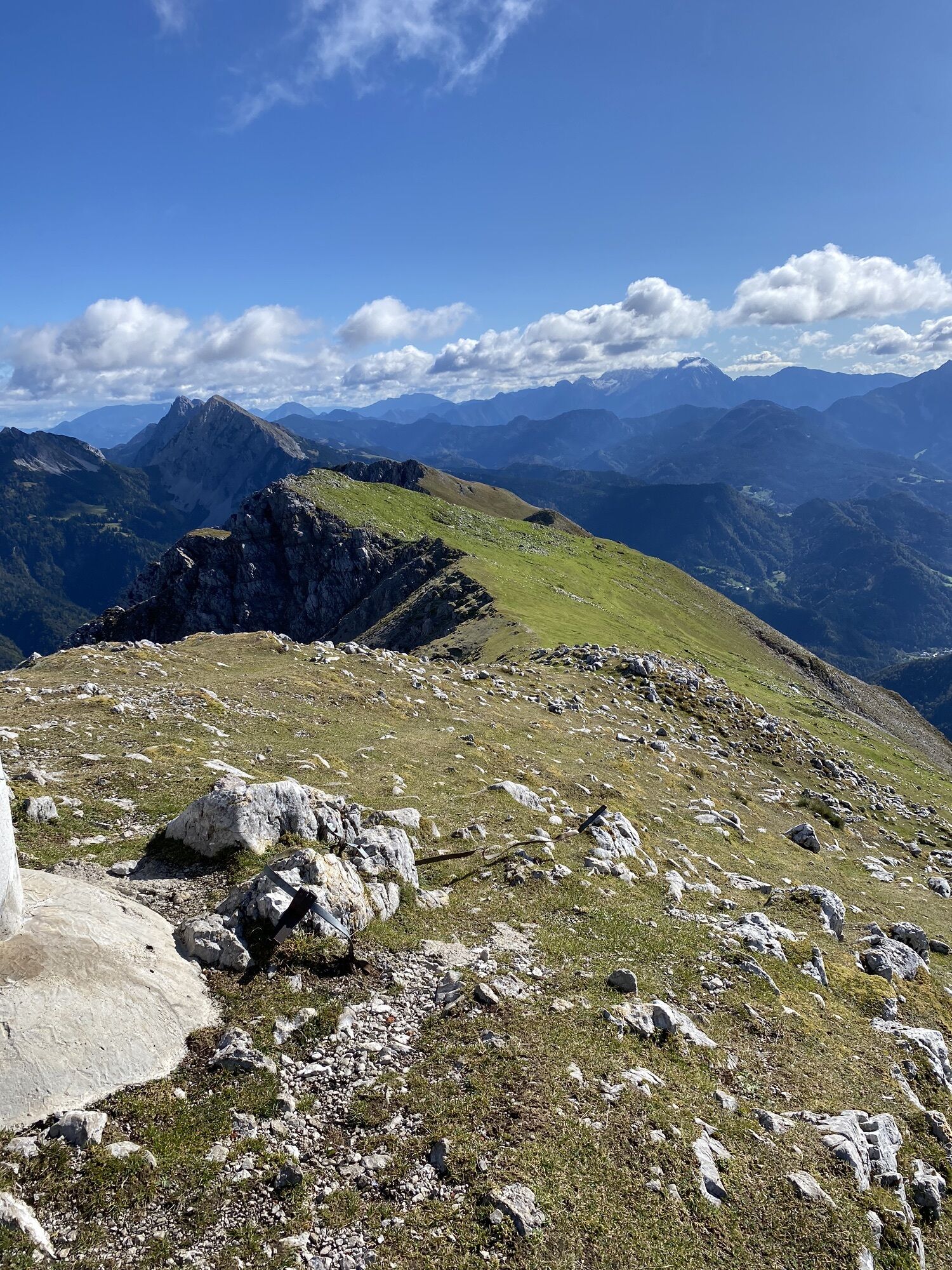
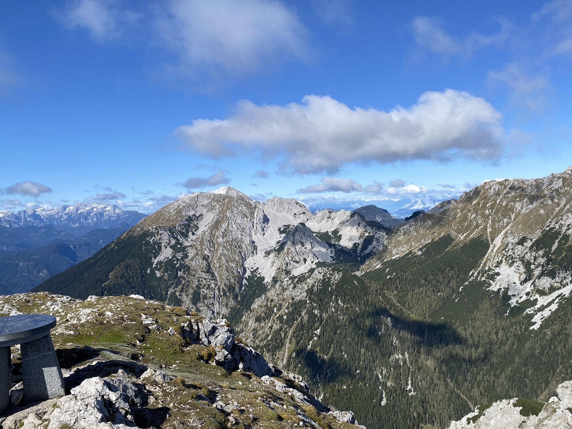
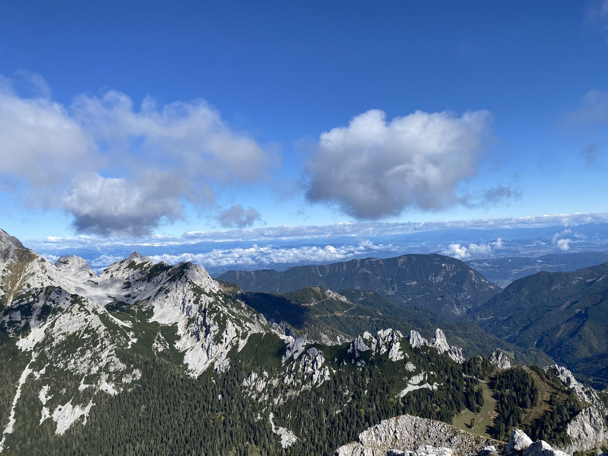
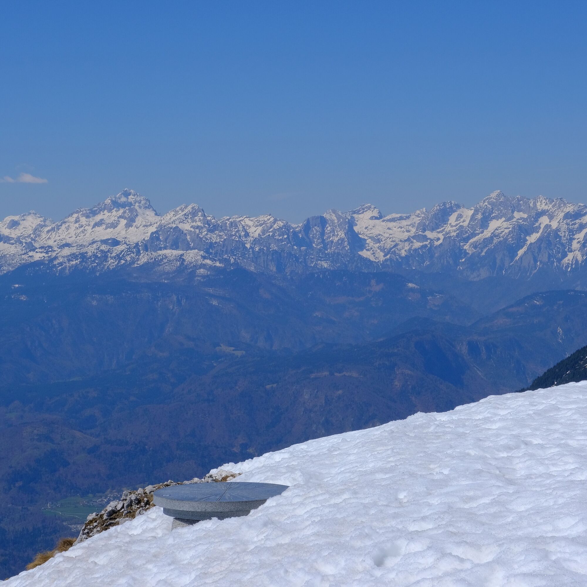
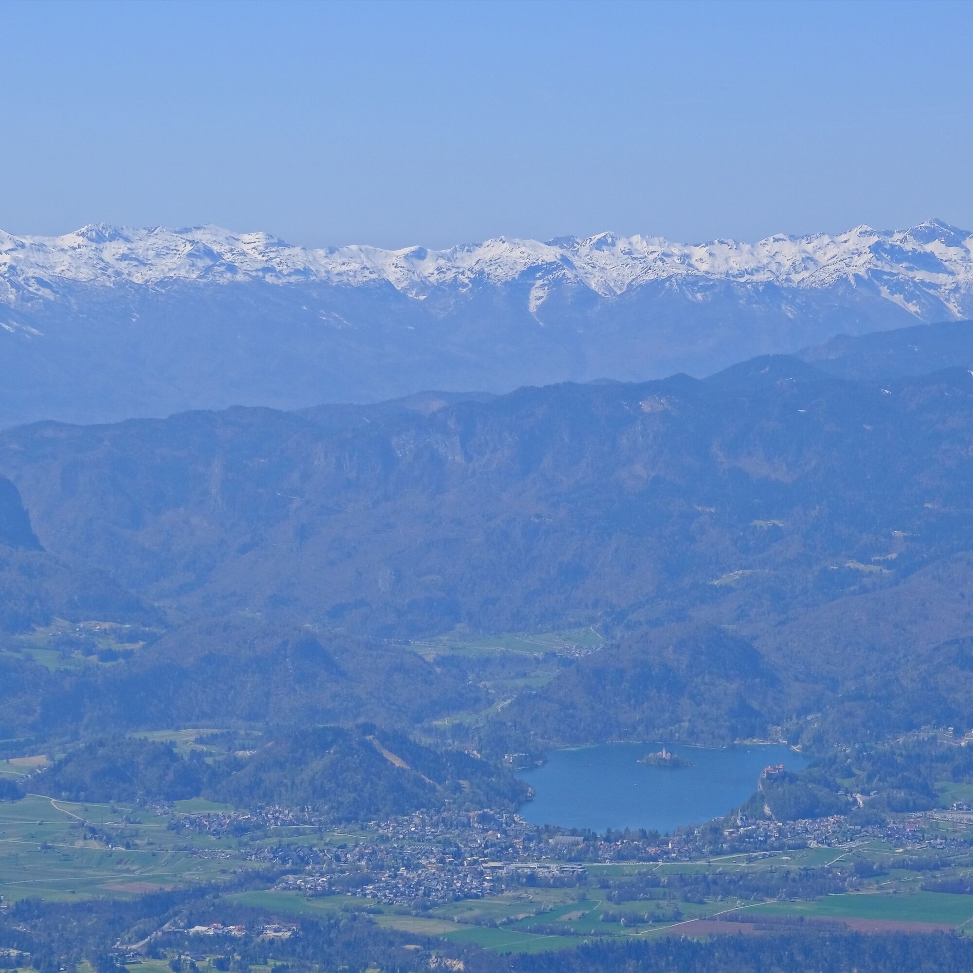
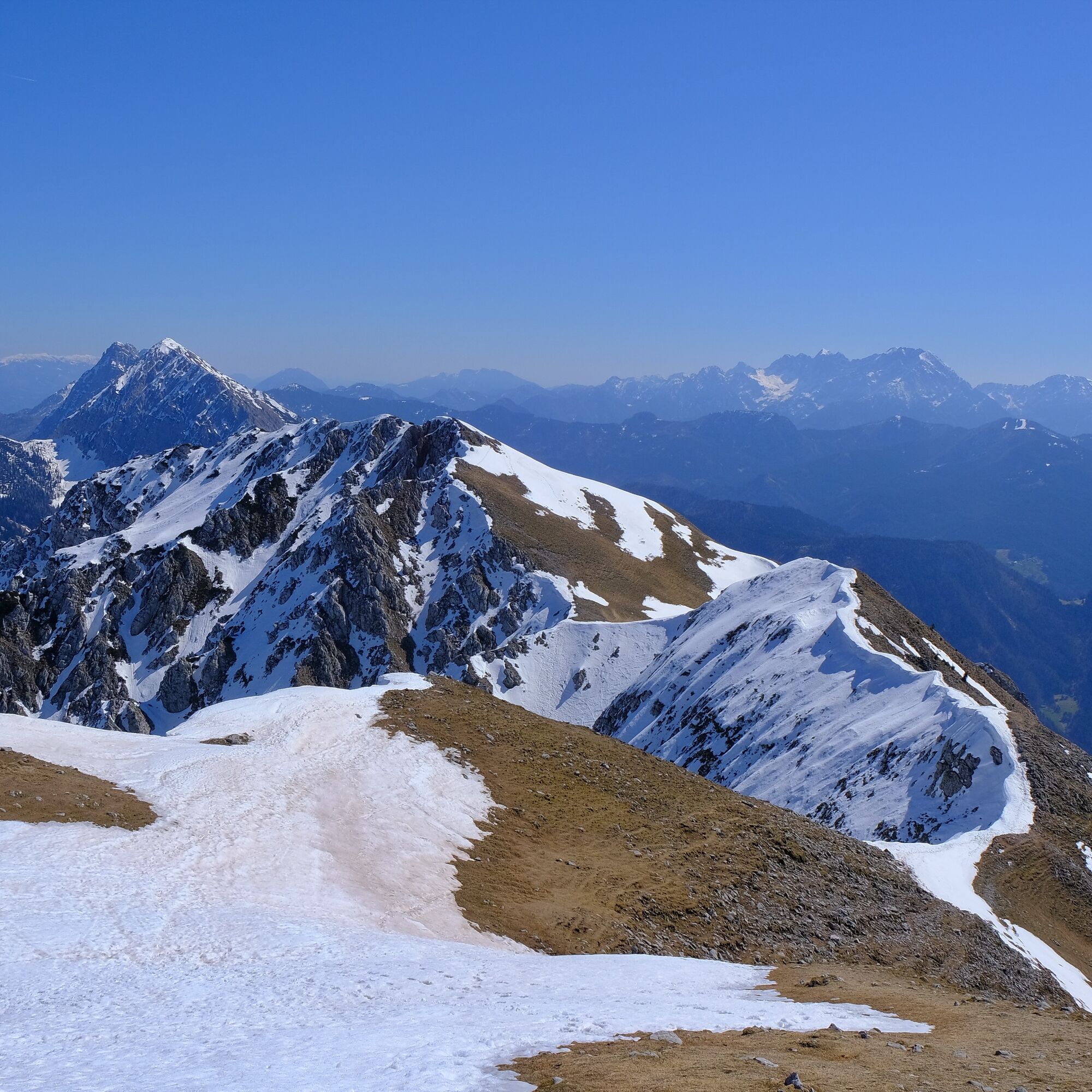
BegunjšÄica is an excellent viewpoint. To the east we see the neighbouring Kamnik–Savinja Alps; on the northern side, past Stol and VrtaÄa, we look towards the Carinthian plains framed by high Austrian peaks; to the west lie the more distant Julian Alps with the prominent highest peak, Triglav. On the southern side below us stretches the entire Gorenjska region; particularly striking is the view of Lake Bled with its unmistakable island and church in the middle.

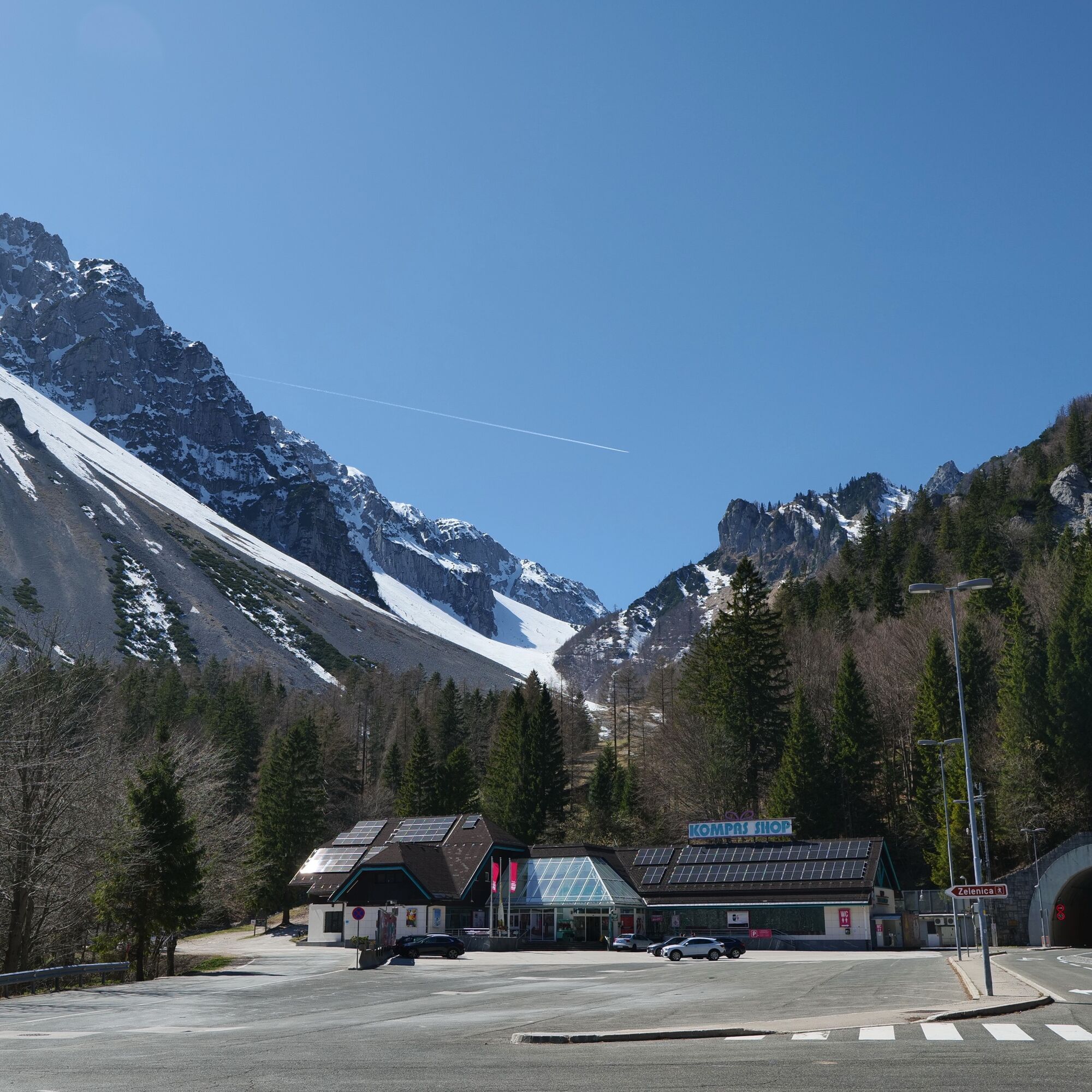
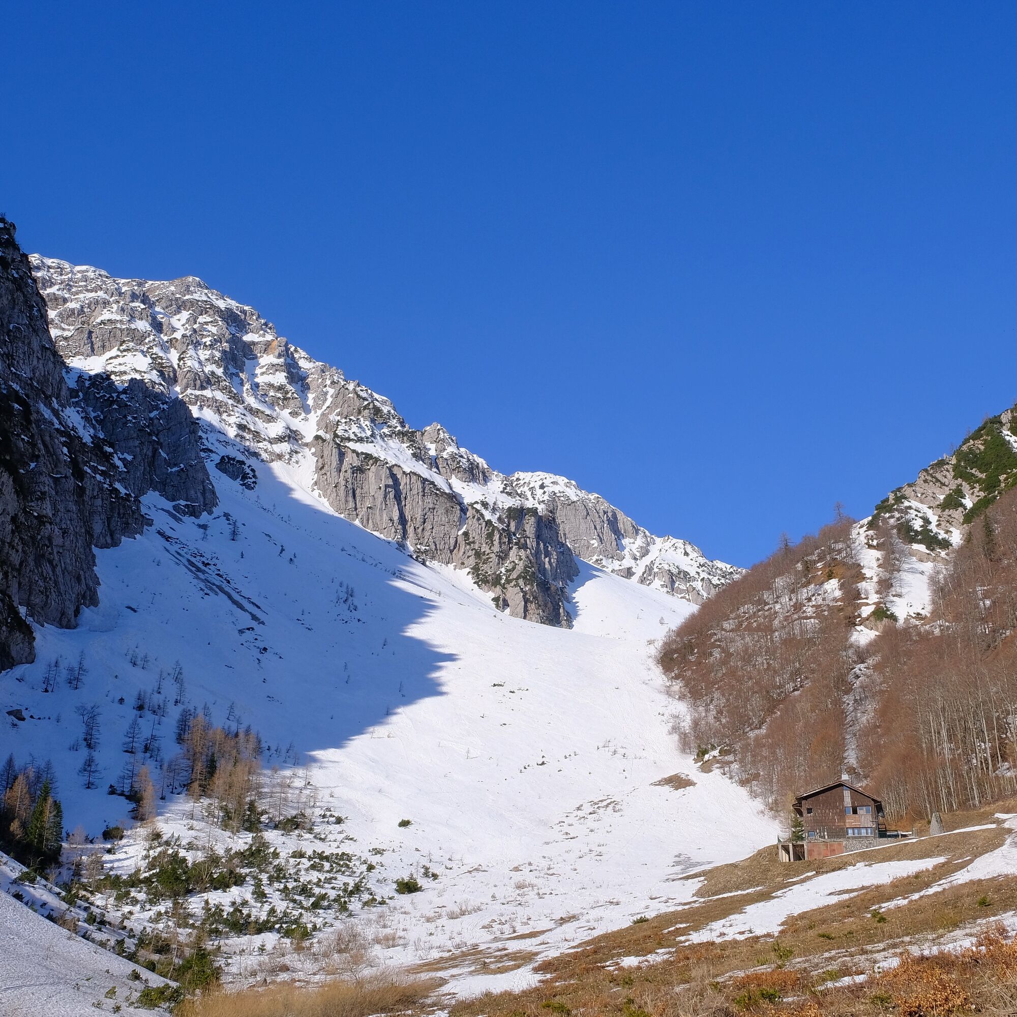
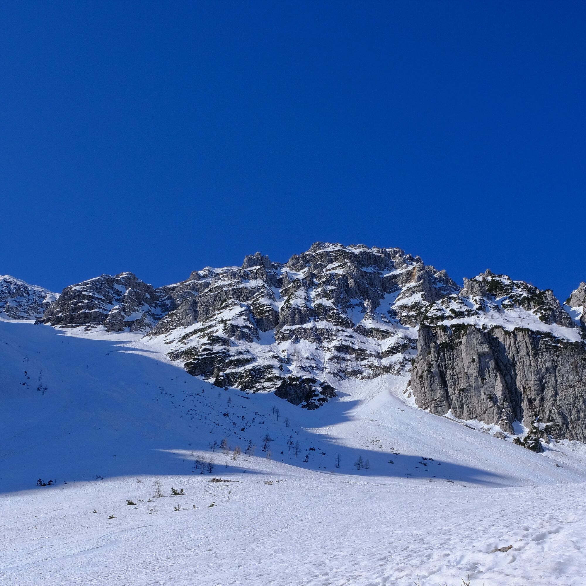
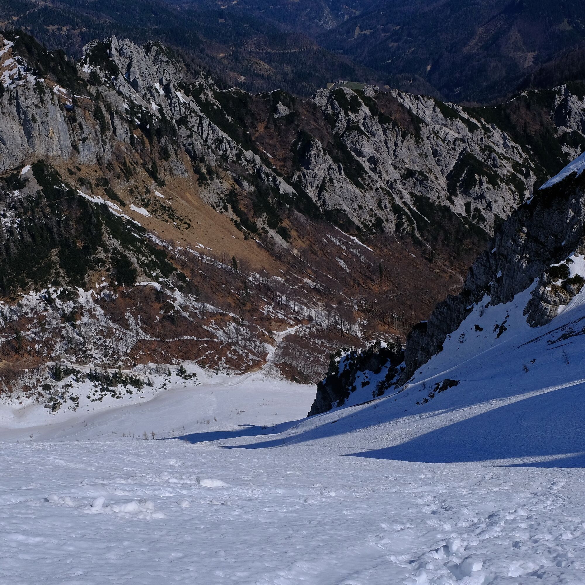
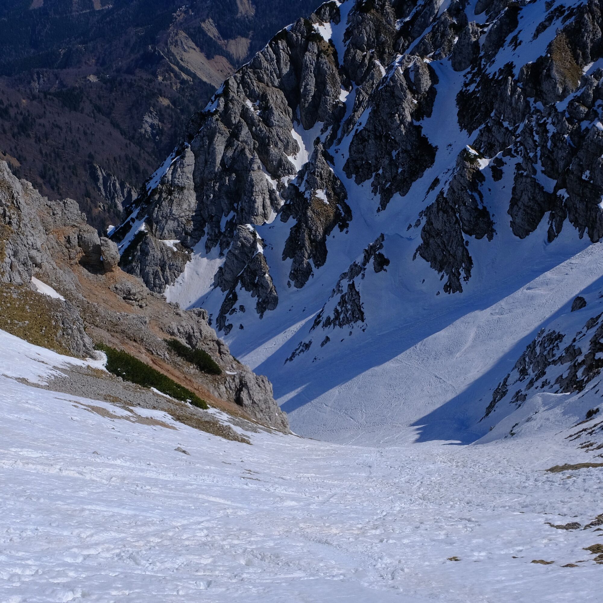
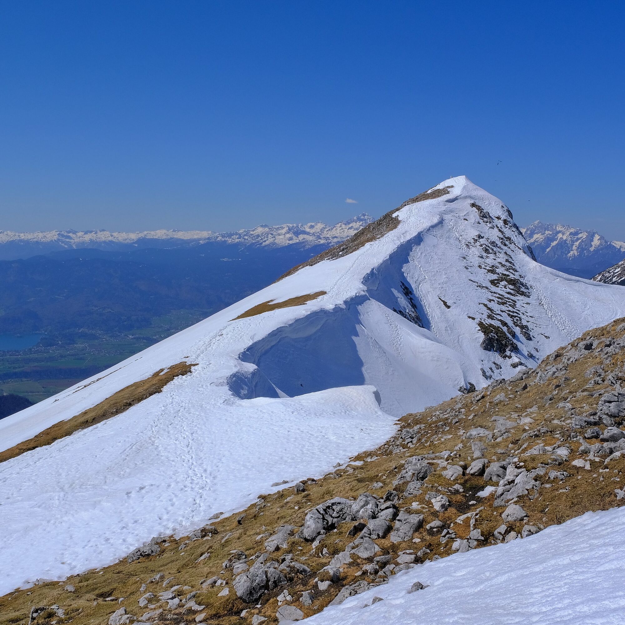
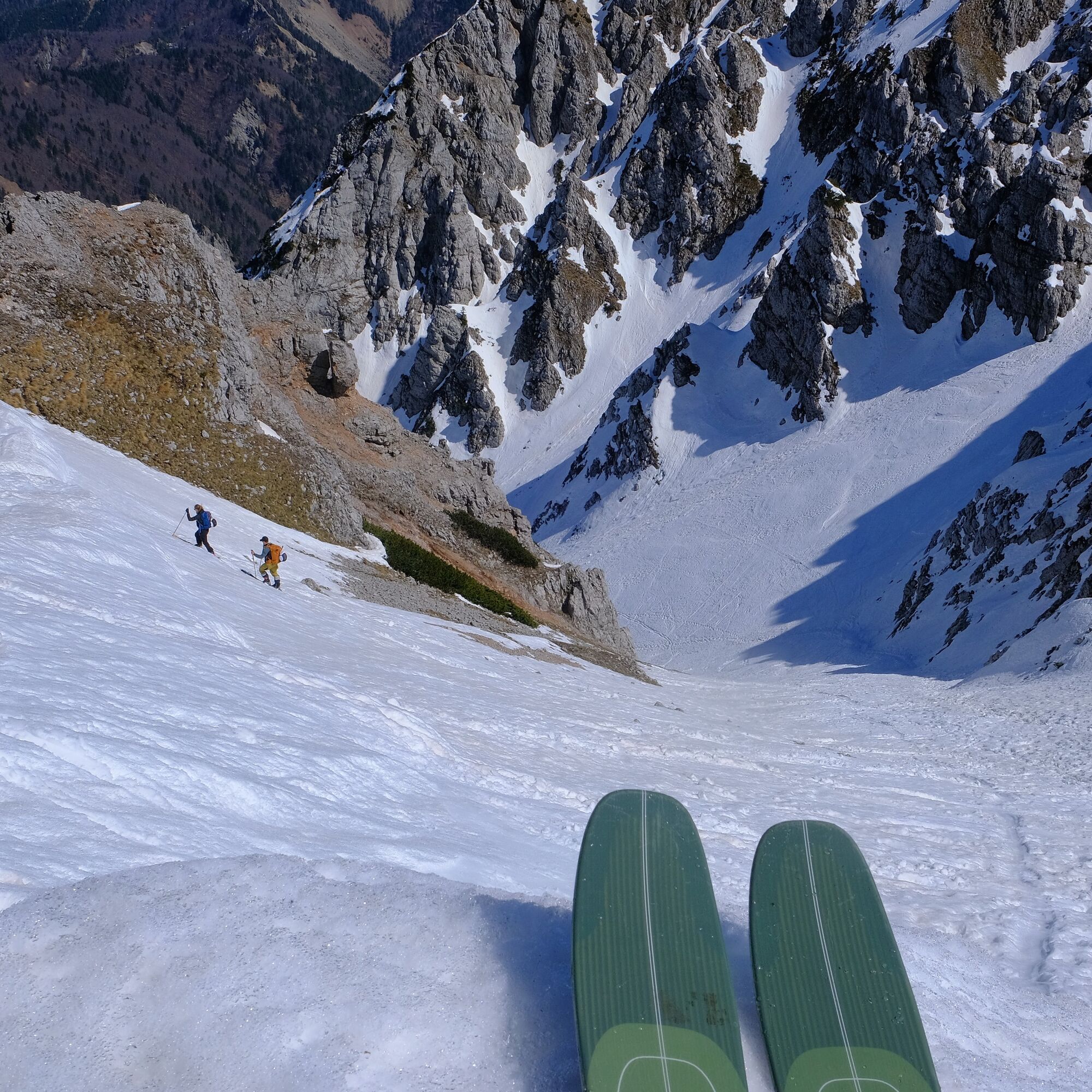
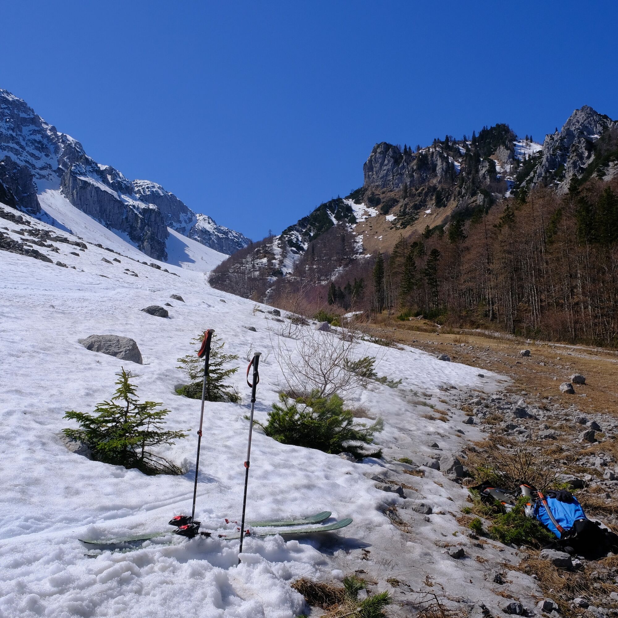

To the right, we could continue towards the mountain hut at Zelenica, but instead we turn left uphill into the steep slopes of the Šentanski avalanche path. Orientation is very simple: we ascend the entire time along the avalanche path, which is wide at the bottom and becomes progressively narrower and steeper. When the slope closes in, a fine passage opens on the right through a gully that leads us onto the ridge.
Along the fairly gentle ridge we ascend without majordifficulty to Veliki vrh (2060 m), the highest point of BegunjšÄica.
We ski back down along the ascent route.
Sí
Sí
Standard winter equipment: avalanche safety kit (beacon, probe, shovel), touring skis, bindings, boots, helmet; skins, ski crampons; crampons, ice axe.
Safety depends on the conditions. The entire area is exposed to avalanches, therefore it is not suitable to visit in unstable snow conditions. If the slopes are frozen and icy, there is a high risk of slipping, so crampons must be carried in the backpack, and the descent should be timed to the part of the day that offers the best conditions.
Along a comfortable regional road, we drive past Tržič to the tunnel at the former Ljubelj border crossing (1050 m).
Public transport: There are no useful public transport options.
Just before the tunnel, turn onto the parking areas on the left-hand side. As this used to be the starting point of the Zelenica ski area, there are plenty of parking spaces.
AD-
A slightly more demanding but perhaps even more beautiful descent from the summit is also possible via the Smokuški avalanche path. It can be found just below Veliki vrh, on the western side of the northern slopes.
Begunjščica is a suitable choice for experienced ski tourers who feel comfortable even on steeper slopes.
Infórmate
Siempre en directo con más de 9.500 webcams. bergfex Como usuario Pro, ahora puede ver las webcams correspondientes a muchos tours en la app de tours desde. Esto le permite ver las condiciones actuales directamente.
Rutas populares en los alrededores
-
4,2
MTB-Tour zur Klagenfurter Hütte
medioMountainbike 12,6 km -
3,9
Tscheppaschlucht Ferlach
luzSenderismo 5,90 km -
4,8
Por la garganta Tscheppa al valle Loibl
medioSenderismo 4,58 km -
4,6
Sendero corazón alrededor del lago Bled
medioSendero temático 5,93 km -
4,6
Sendero de experiencia acuática Hainschgraben
medioSenderismo 9,23 km -
4,5
Slow Trail Meerauge
luzSenderismo 5,25 km -
4,4
Desde Bärental al Kosiak (cabaña Klagenfurter)
medioSenderismo 9,67 km -
4,6
Travesía Sinacher Gupf
medioSenderismo 8,32 km -
4,6
Vía ferrata Lärchenturm
pesadoVía ferrata 6,15 km -
4,2
A través de la garganta Tscheppaschlucht hasta Bodental
medioSenderismo 10,6 km
Senderismo y rastreo


No se pierda las ofertas y la inspiración para sus próximas vacaciones
Su dirección de correo electrónico se ha añadido a la lista de correo.





