
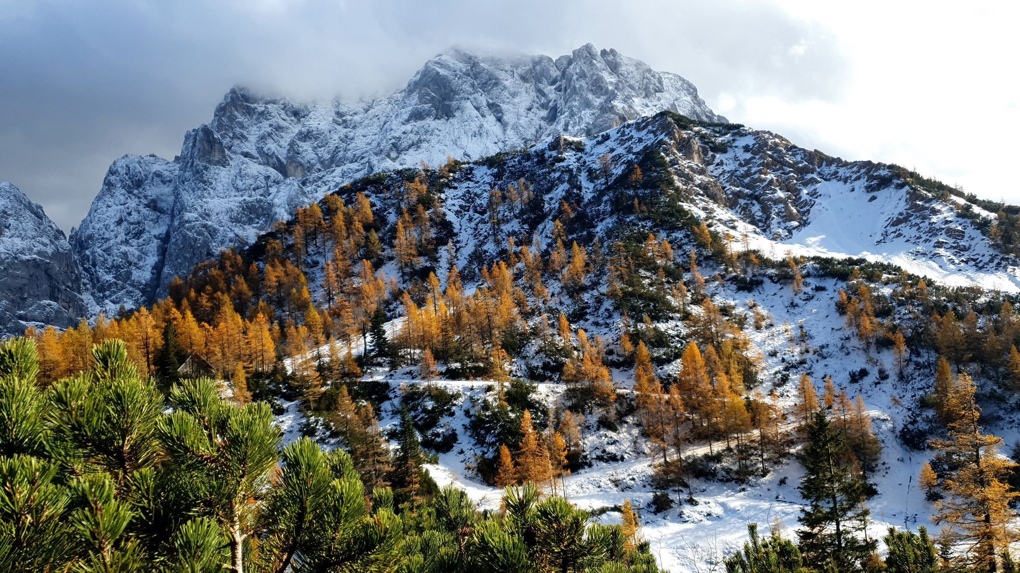
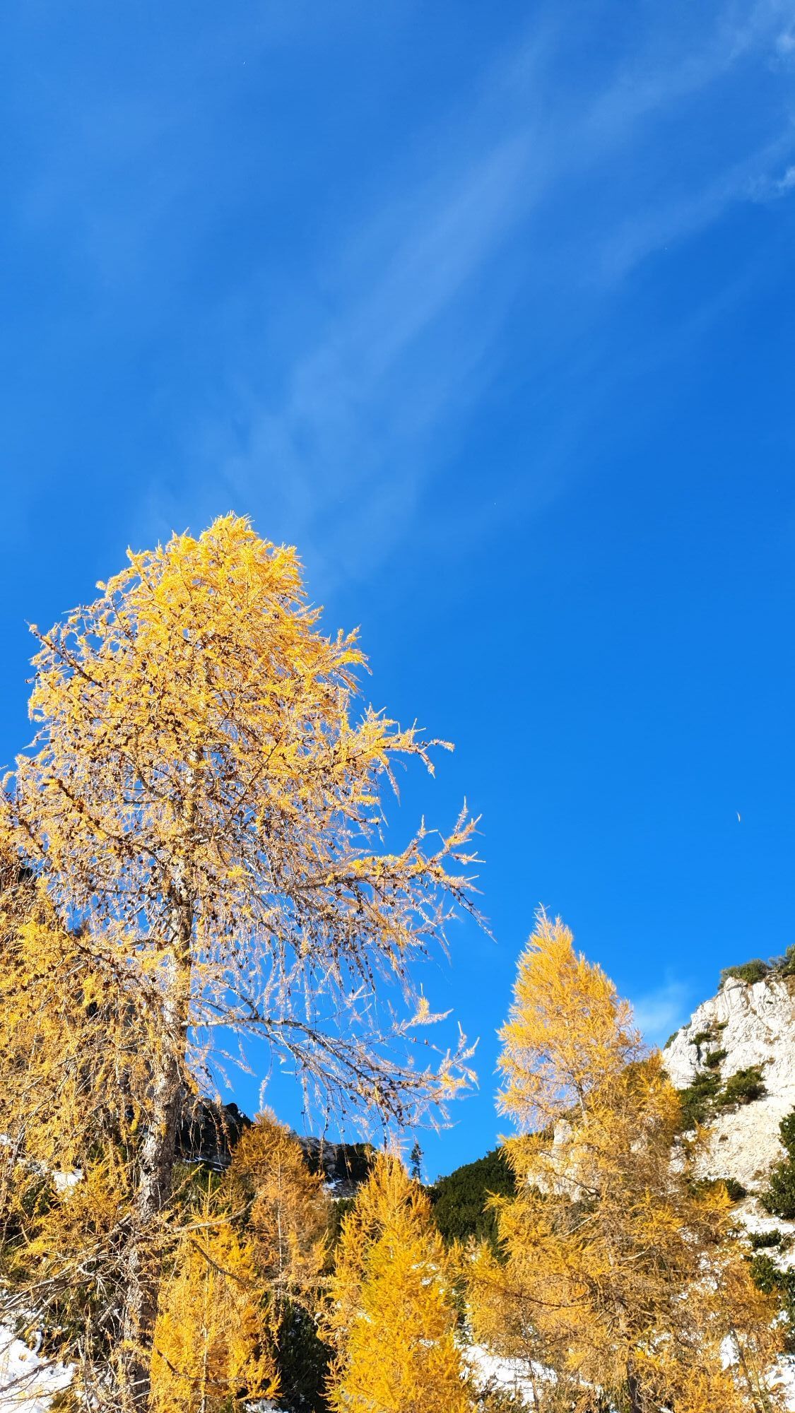
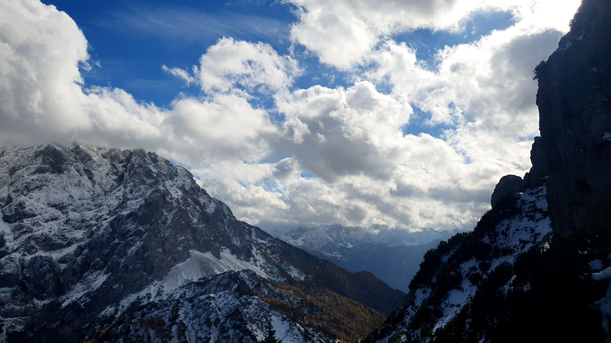
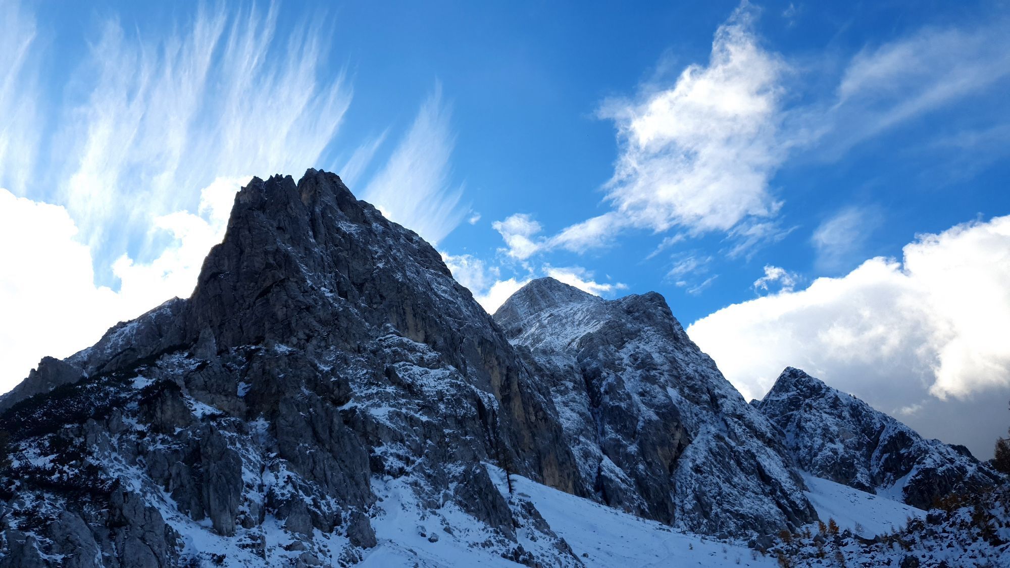
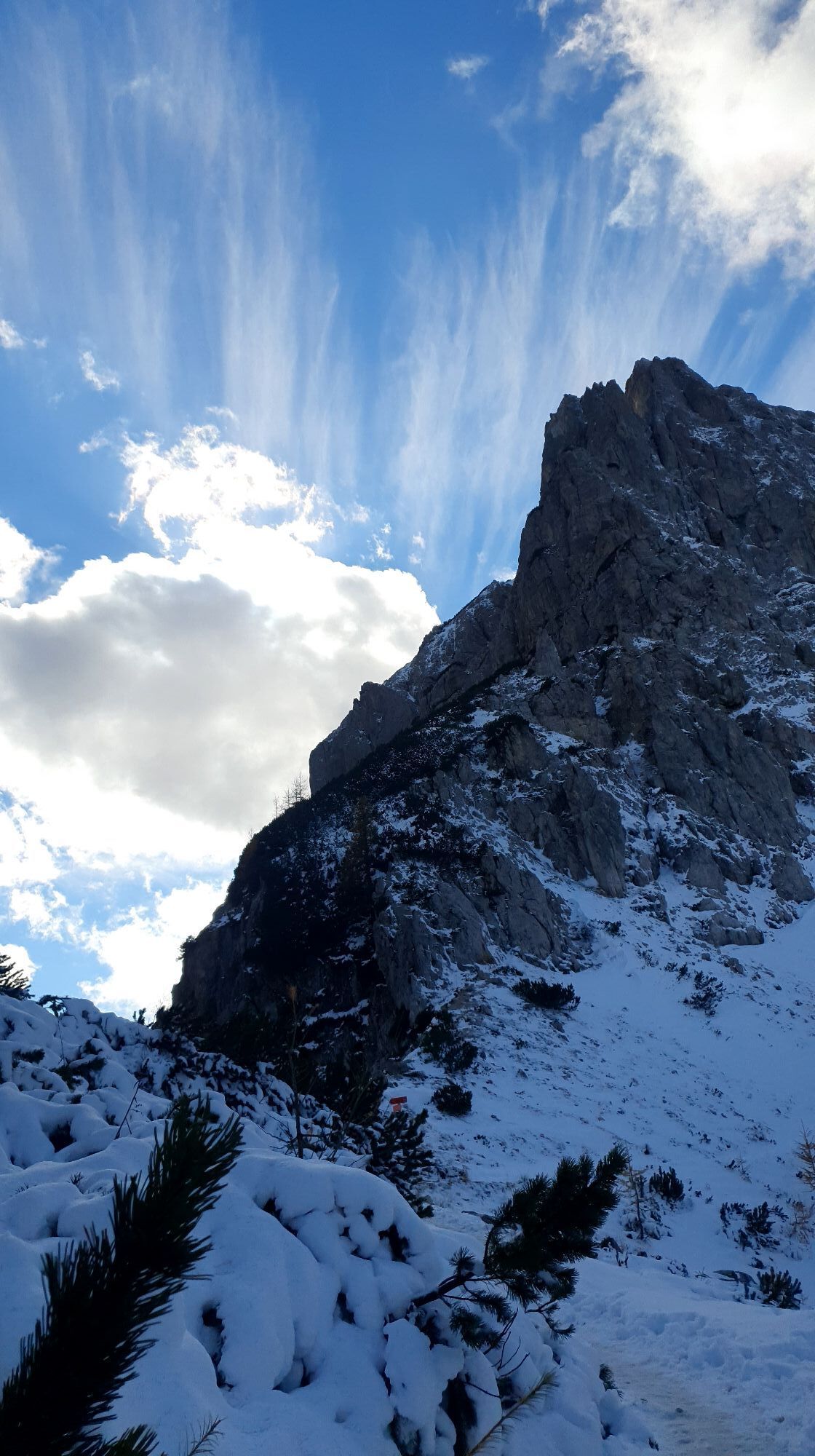
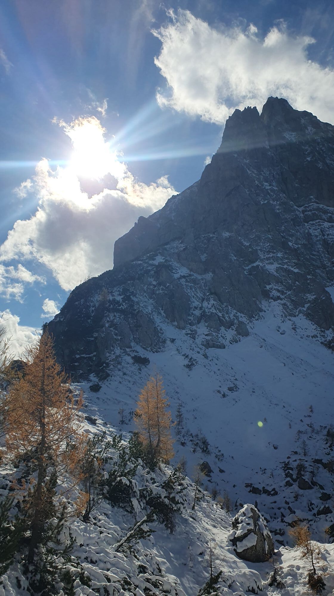
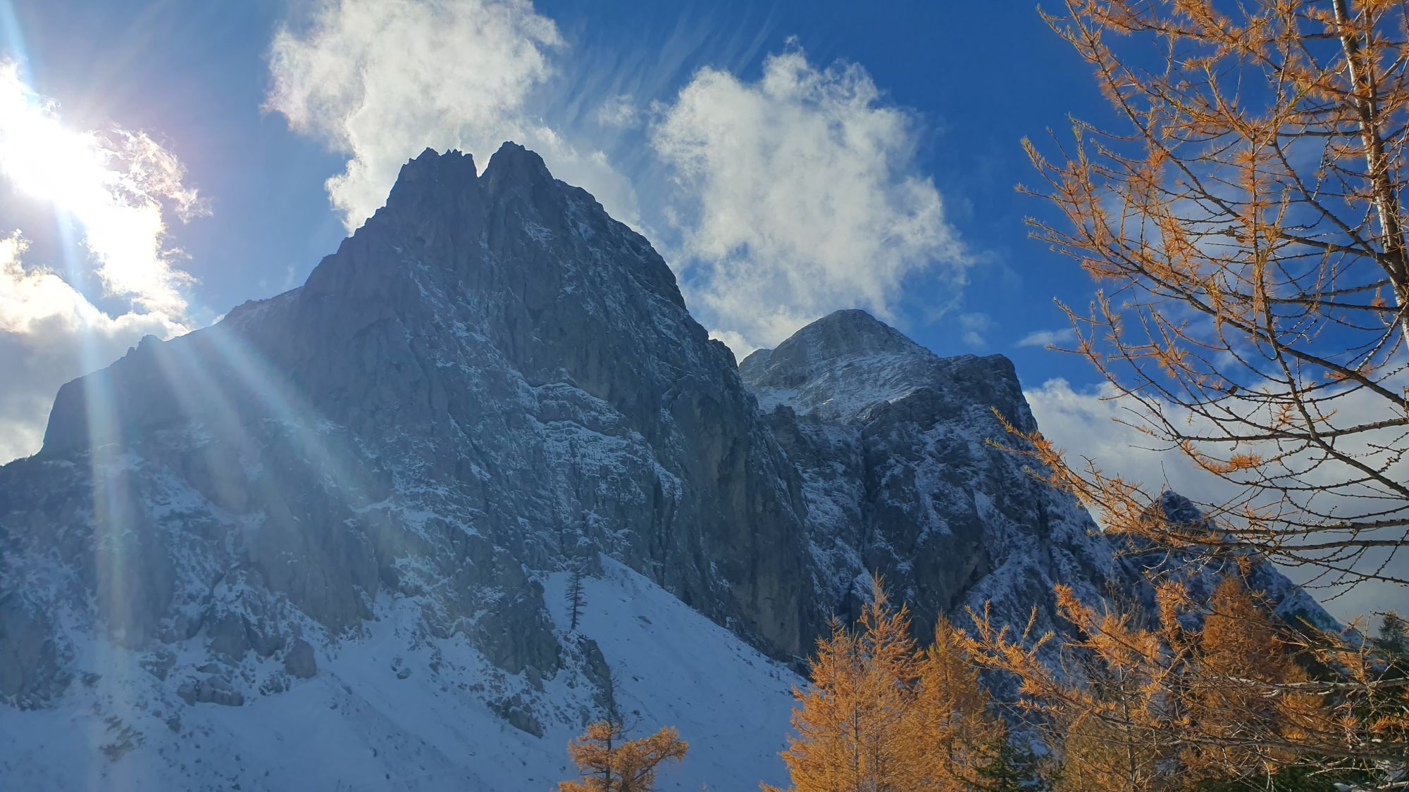
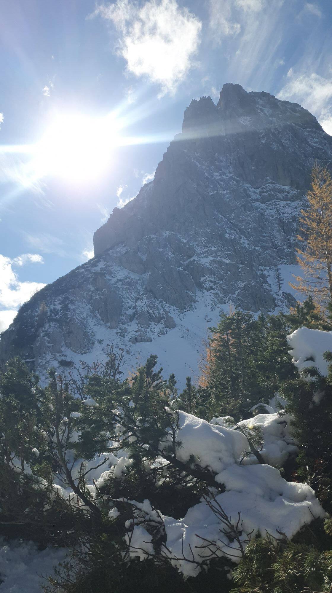
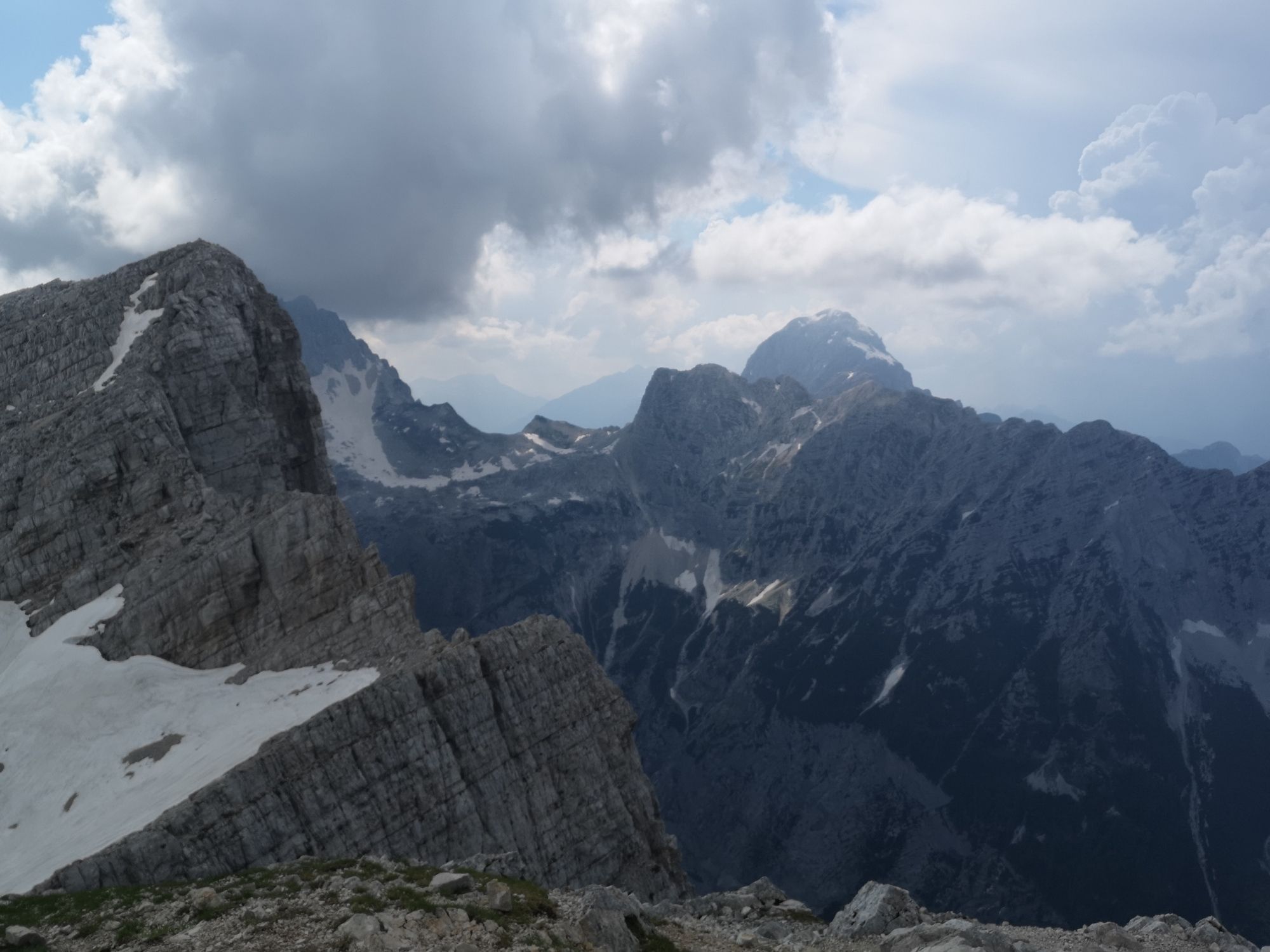
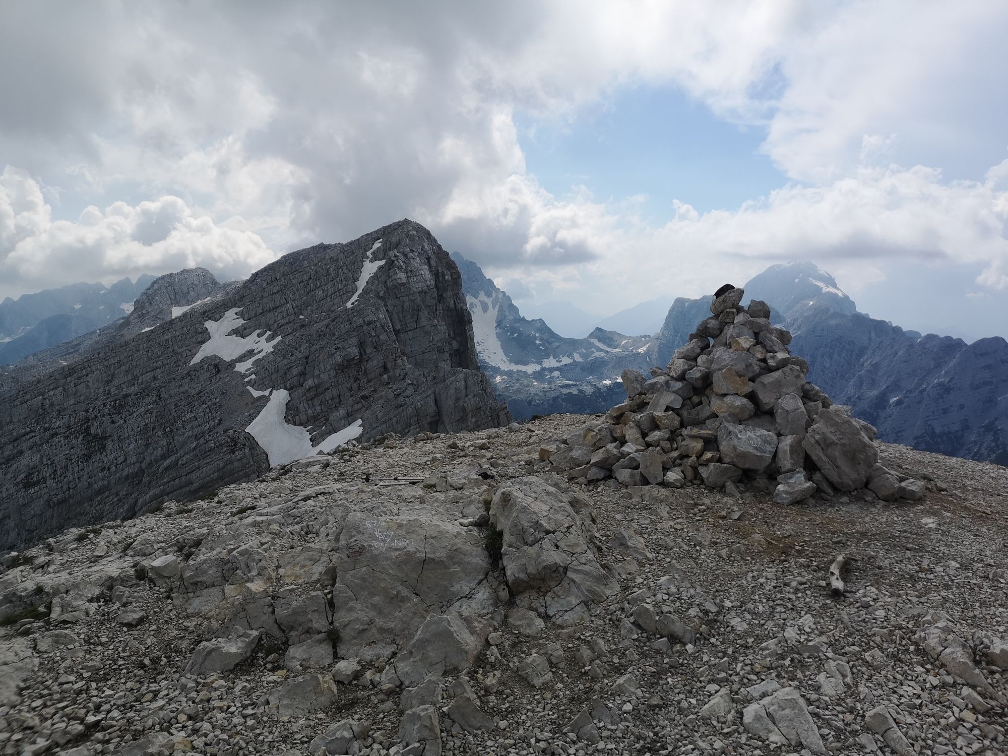
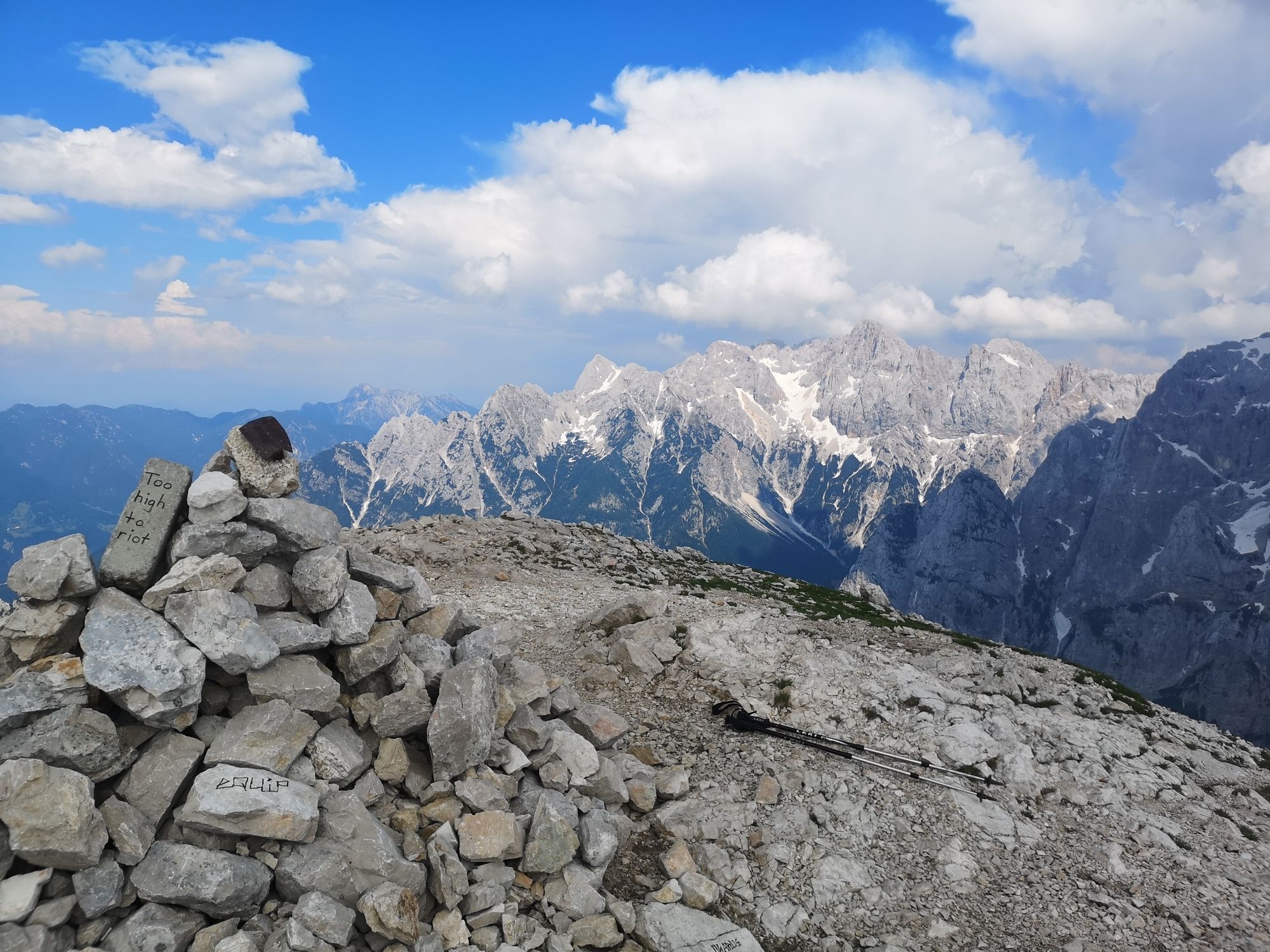
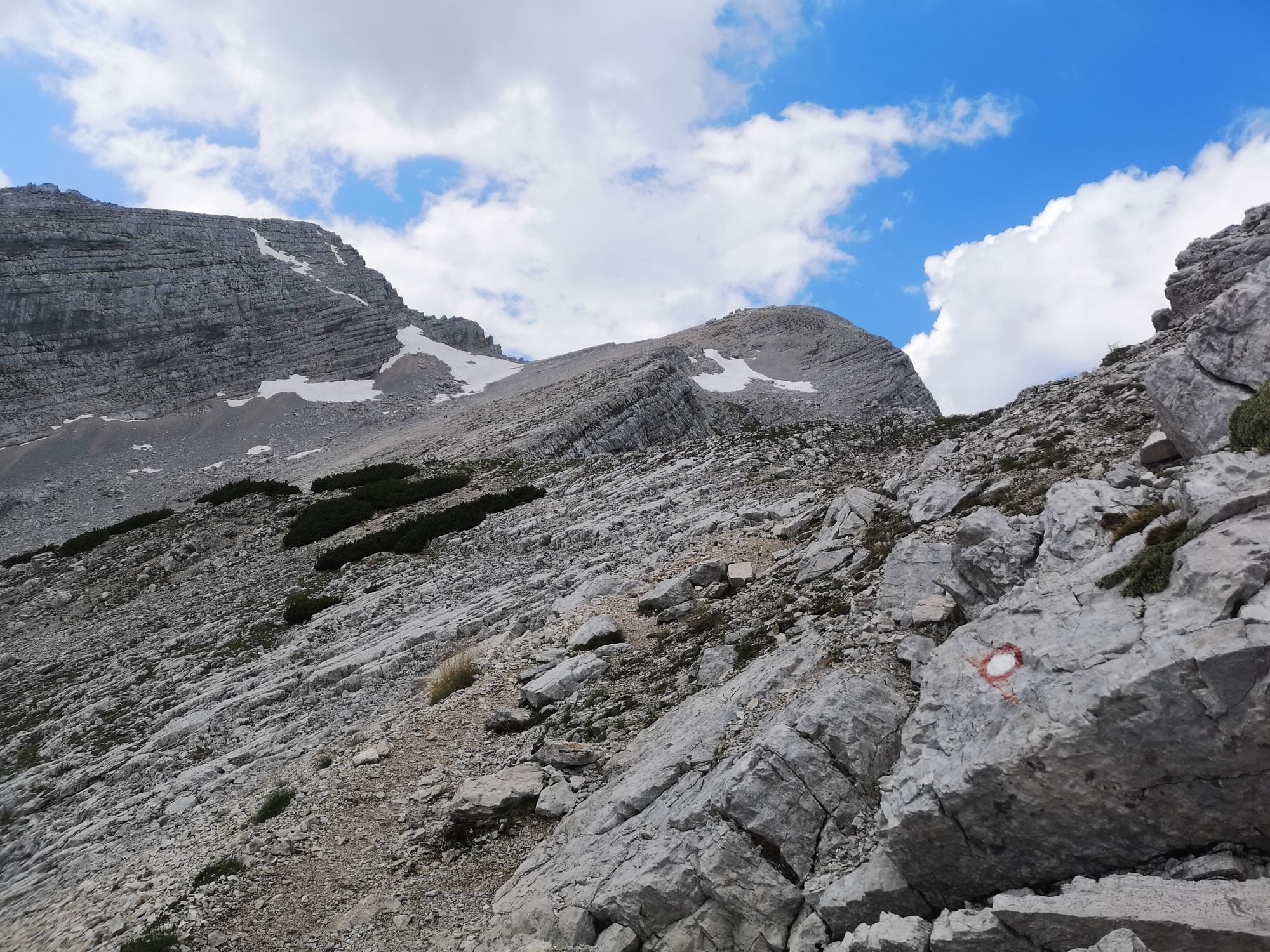
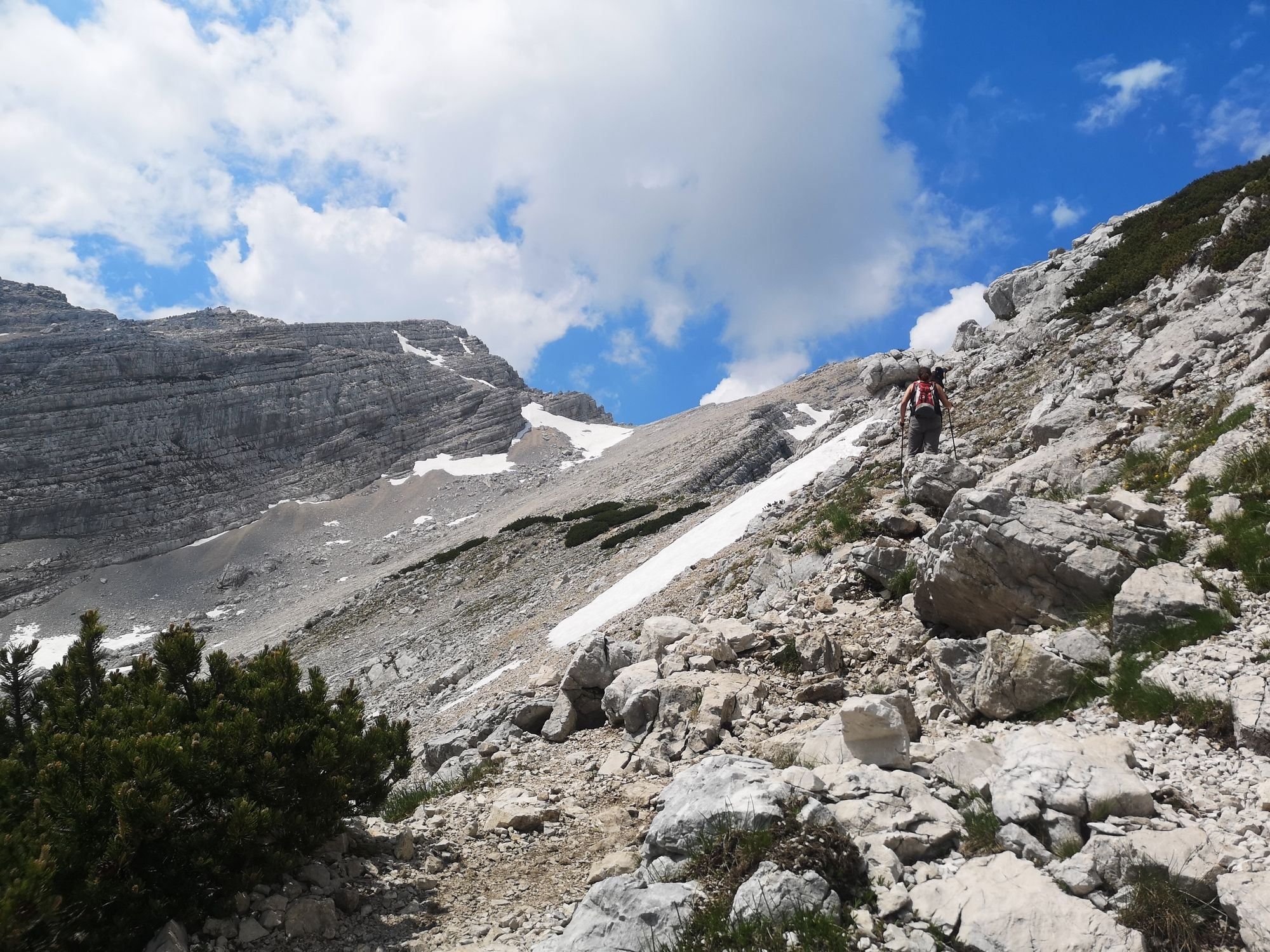
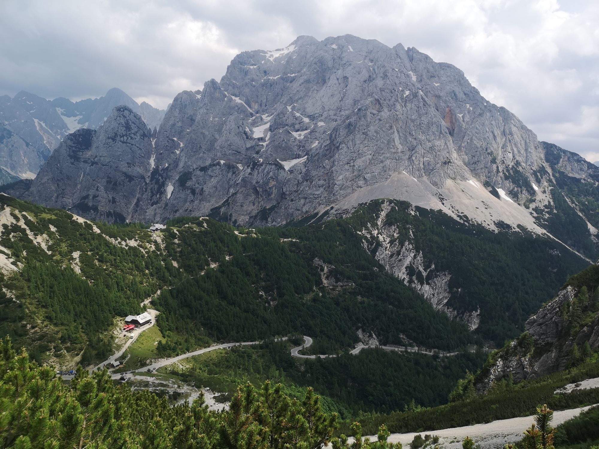
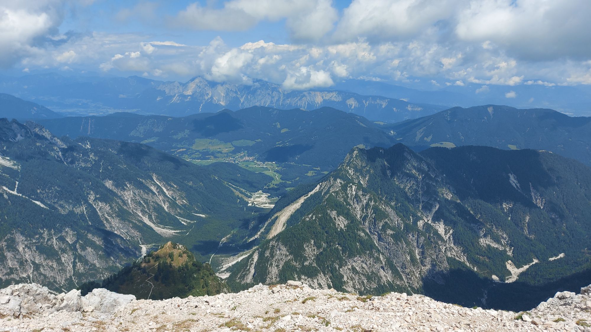
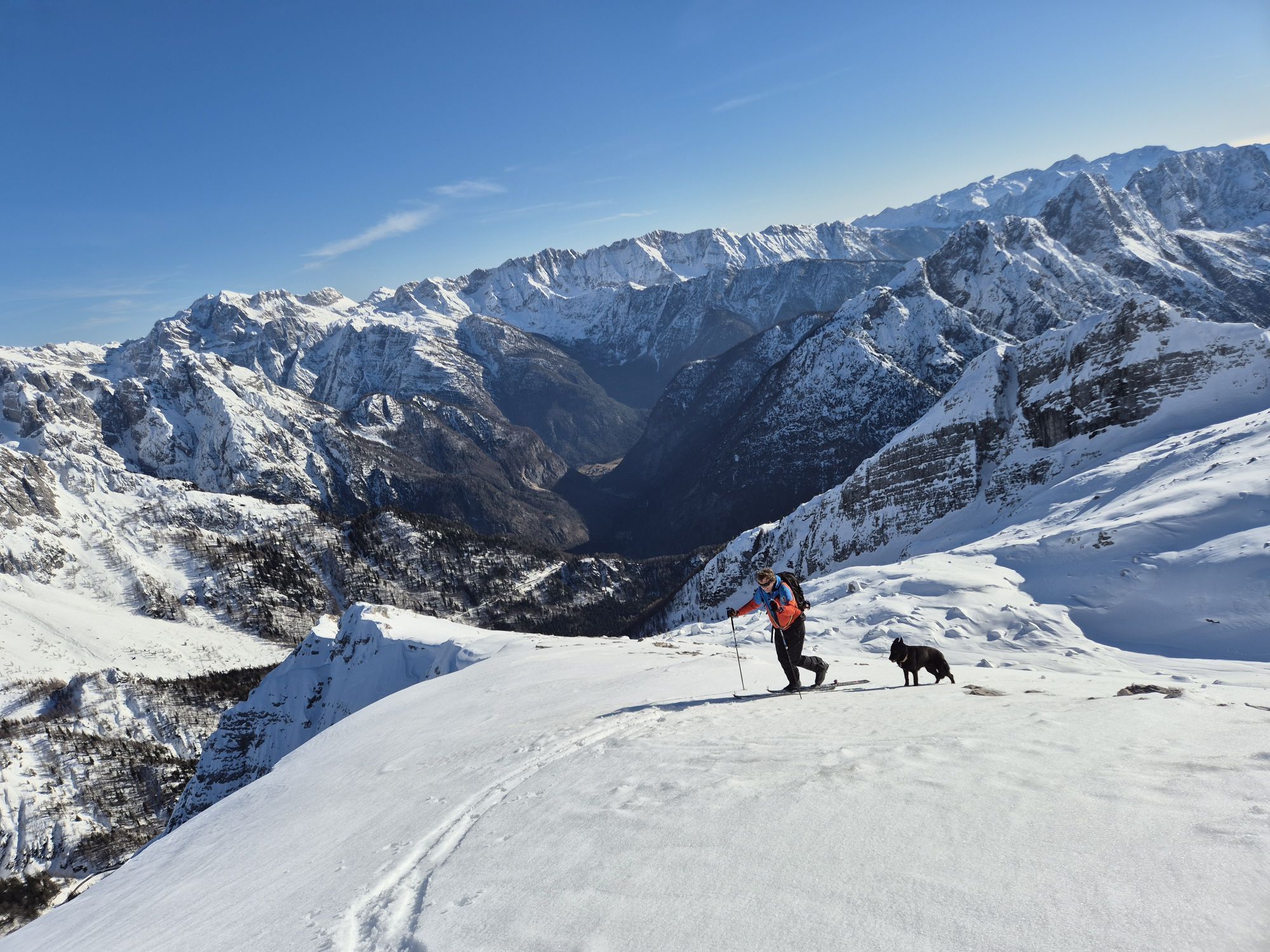
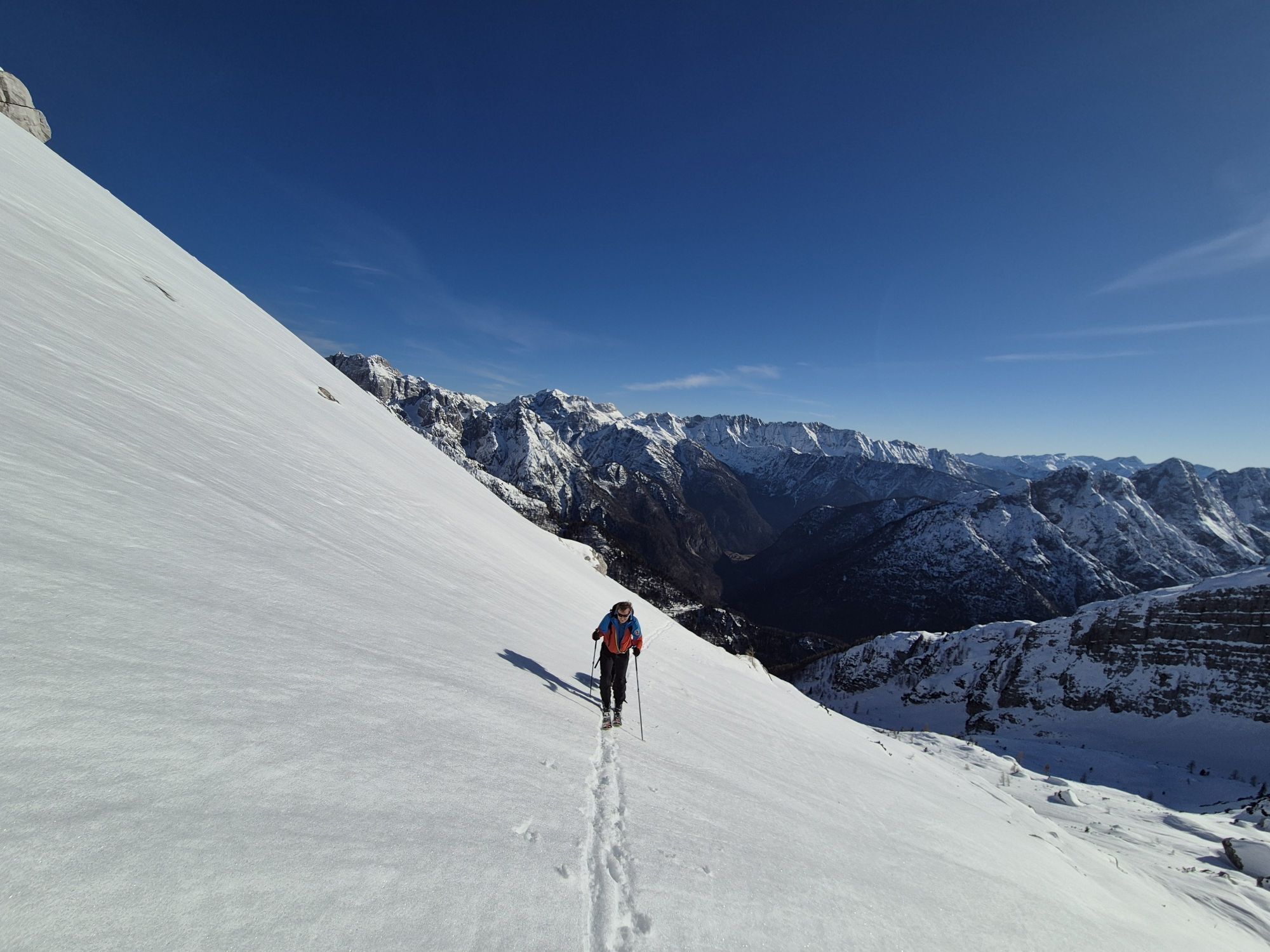
Kranjska Gora - Mala Mojstrovka - Vratca pod Mojstrovko - Bovec
medio
Consigue este tour en tu móvil
Kranjska Gora - Mala Mojstrovka - Vratca pod Mojstrovko - Bovec
medio
Senderismo de montaña
4,78
km
Escanee el código QR e inicie la navegación en la aplicación bergfex

Senderismo y rastreo


Kranjska Gora - Mala Mojstrovka - Vratca pod Mojstrovko - Bovec
medio
Distancia
4,78
km
Duración
03:59
h
Ascenso
589
m
Nivel del mar
1.614 -
2.314
m
Descarga de pistas
Kranjska Gora - Mala Mojstrovka - Vratca pod Mojstrovko - Bovec
medio
Senderismo de montaña
4,78
km
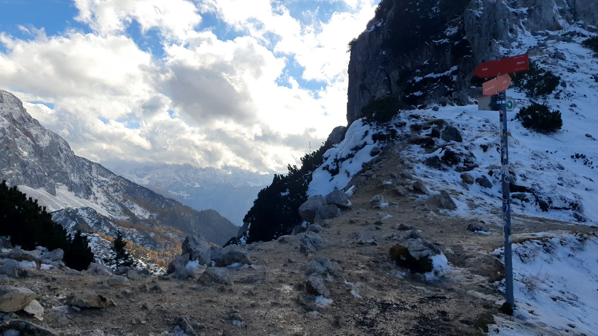
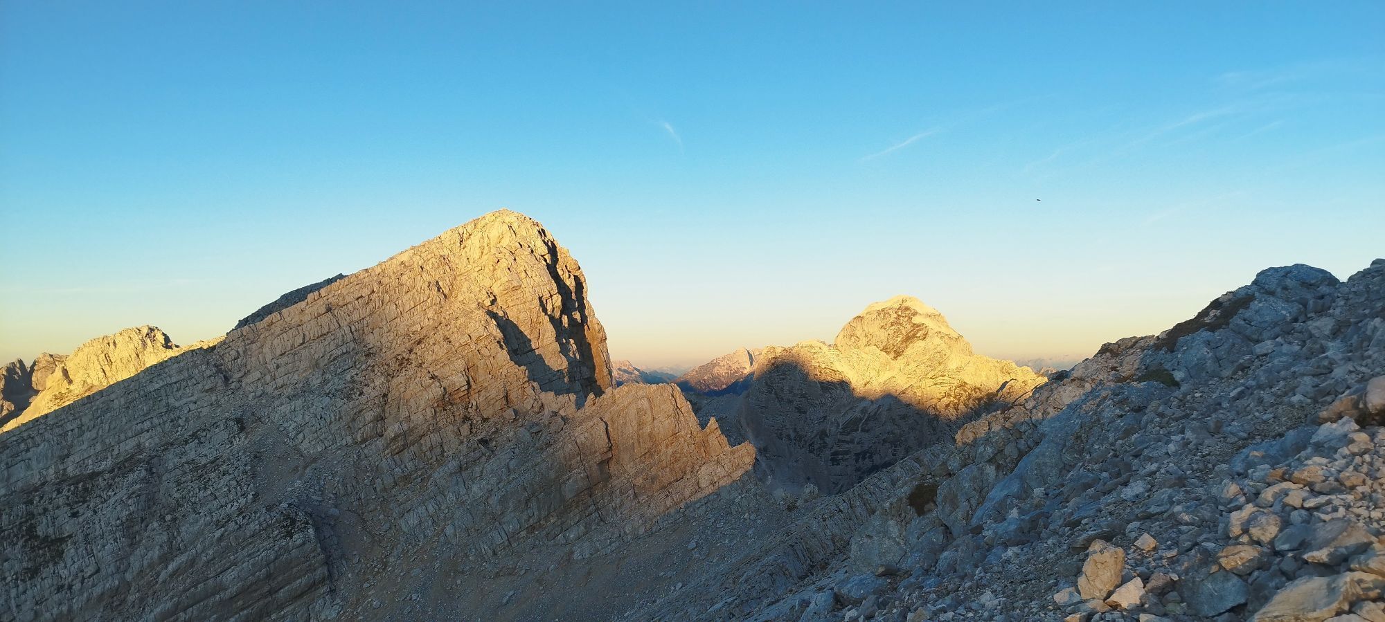
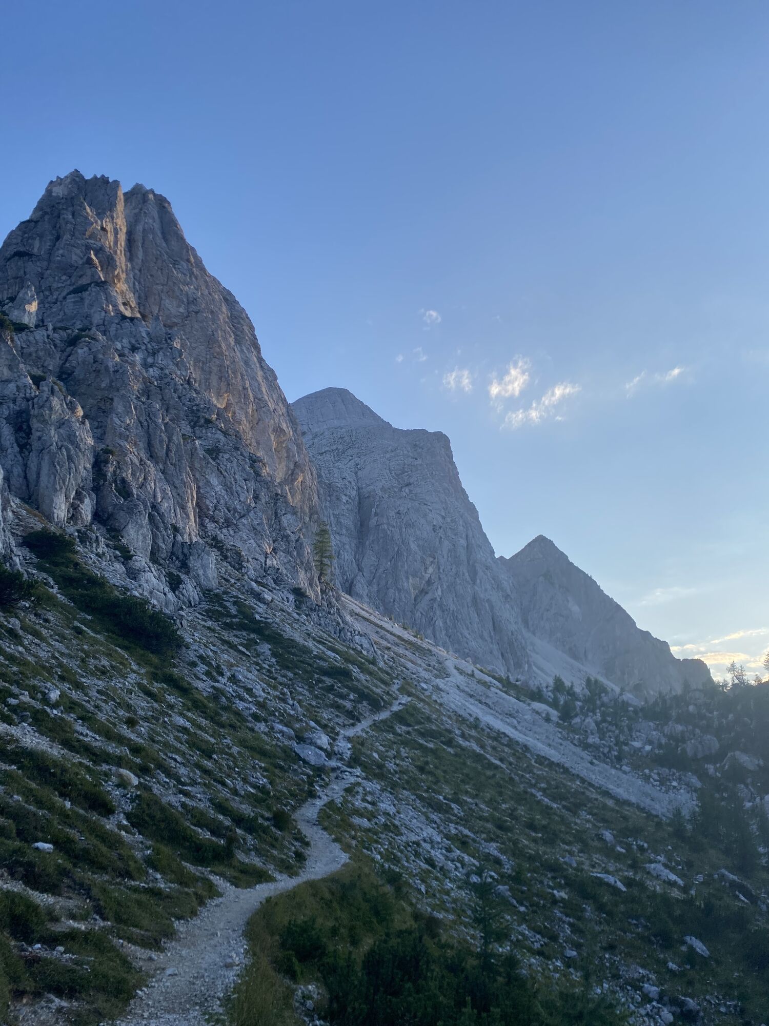
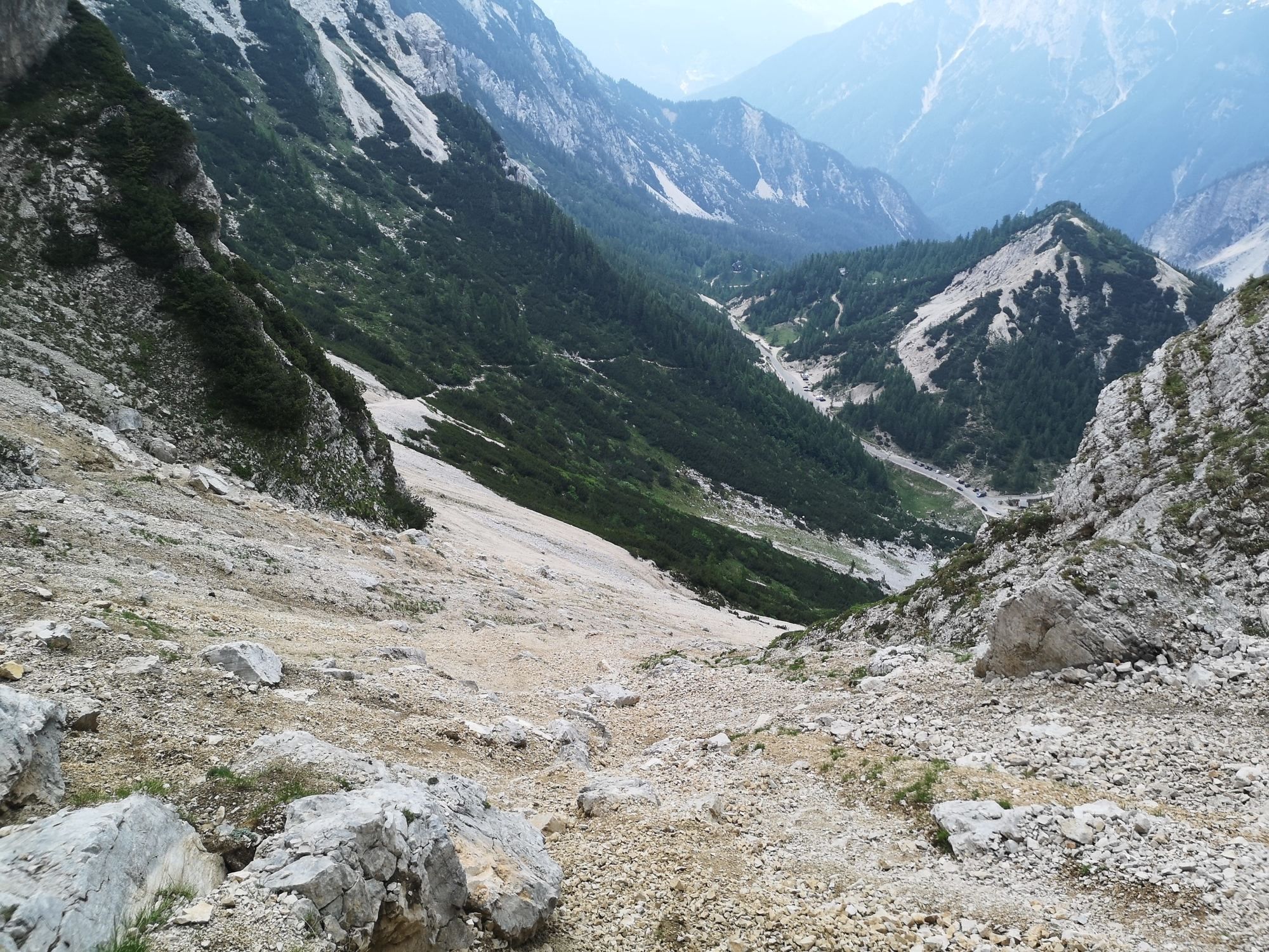
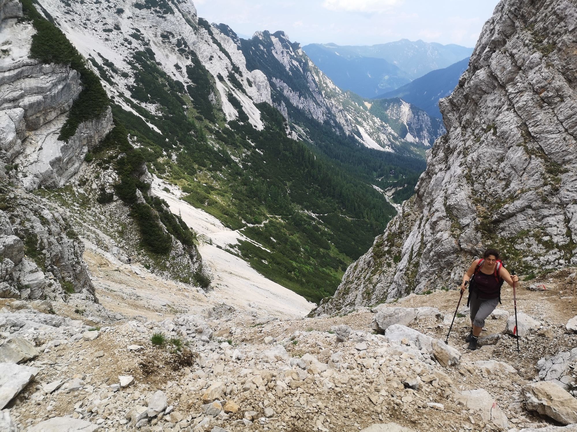
Ruta
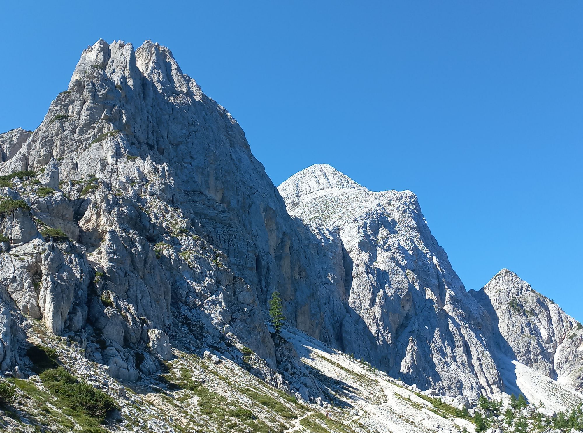
Mala Mojstrovka
(2.333 m)
Cumbre
2,6 km
Jama na Mojstrovki
(2.164 m)
Entrada de la cueva
3,0 km
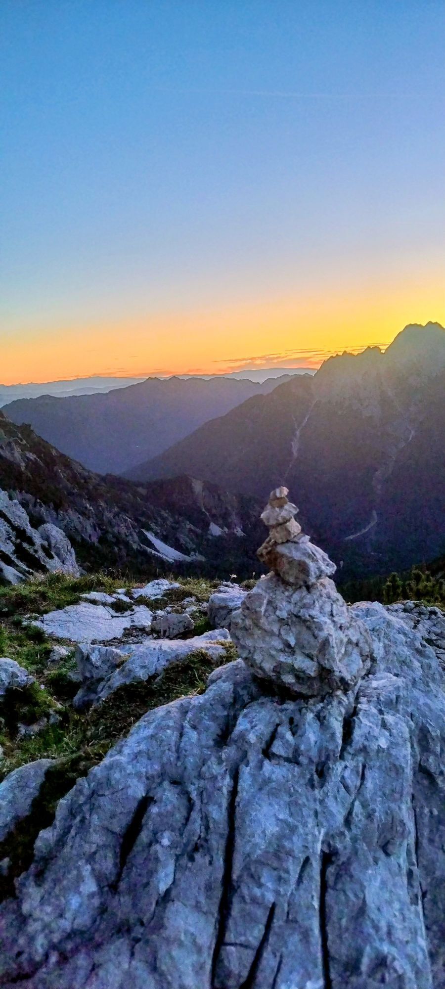
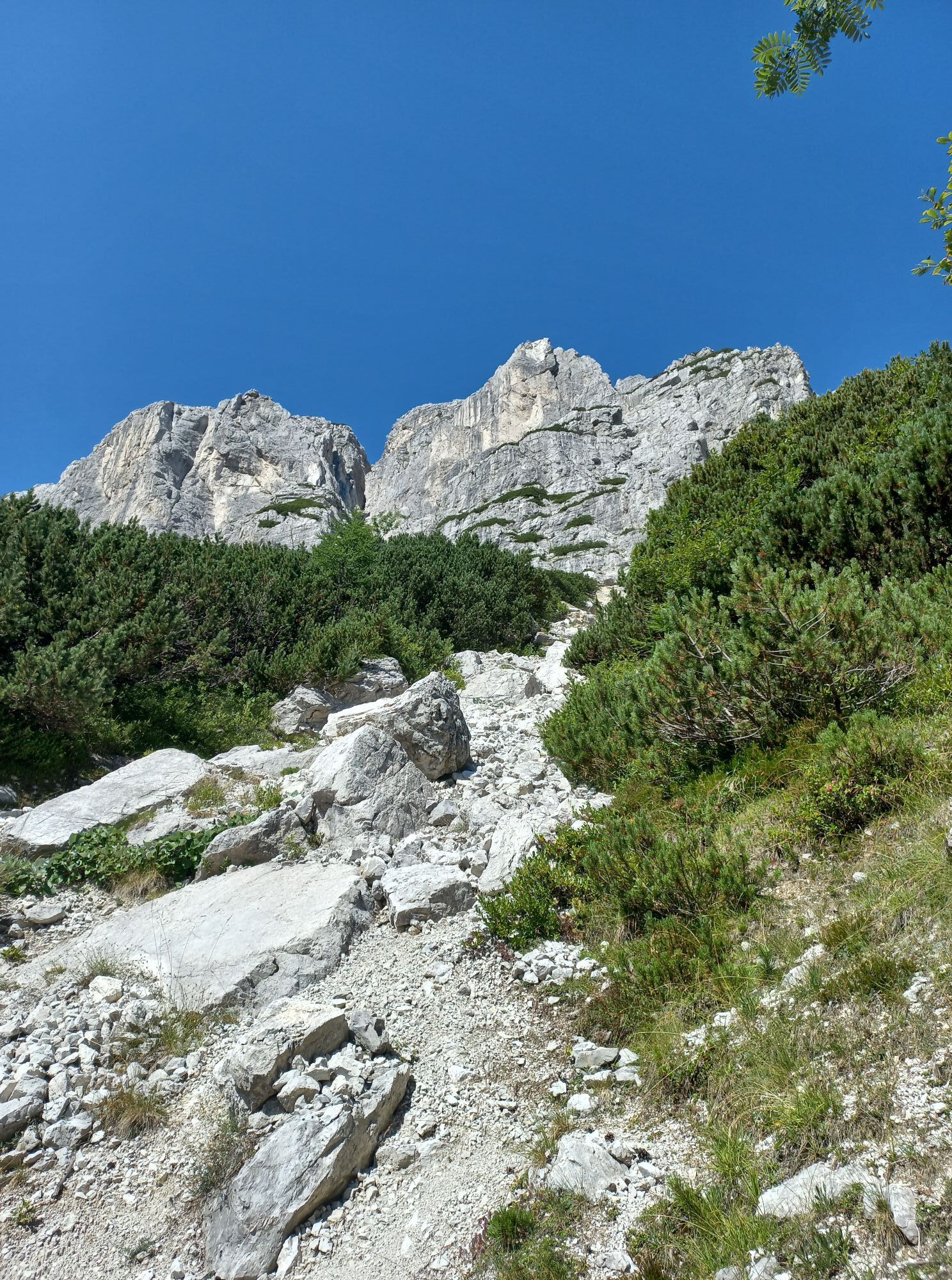
Vratca pod Mojstrovko
(1.941 m)
Sillín de montaña
3,7 km
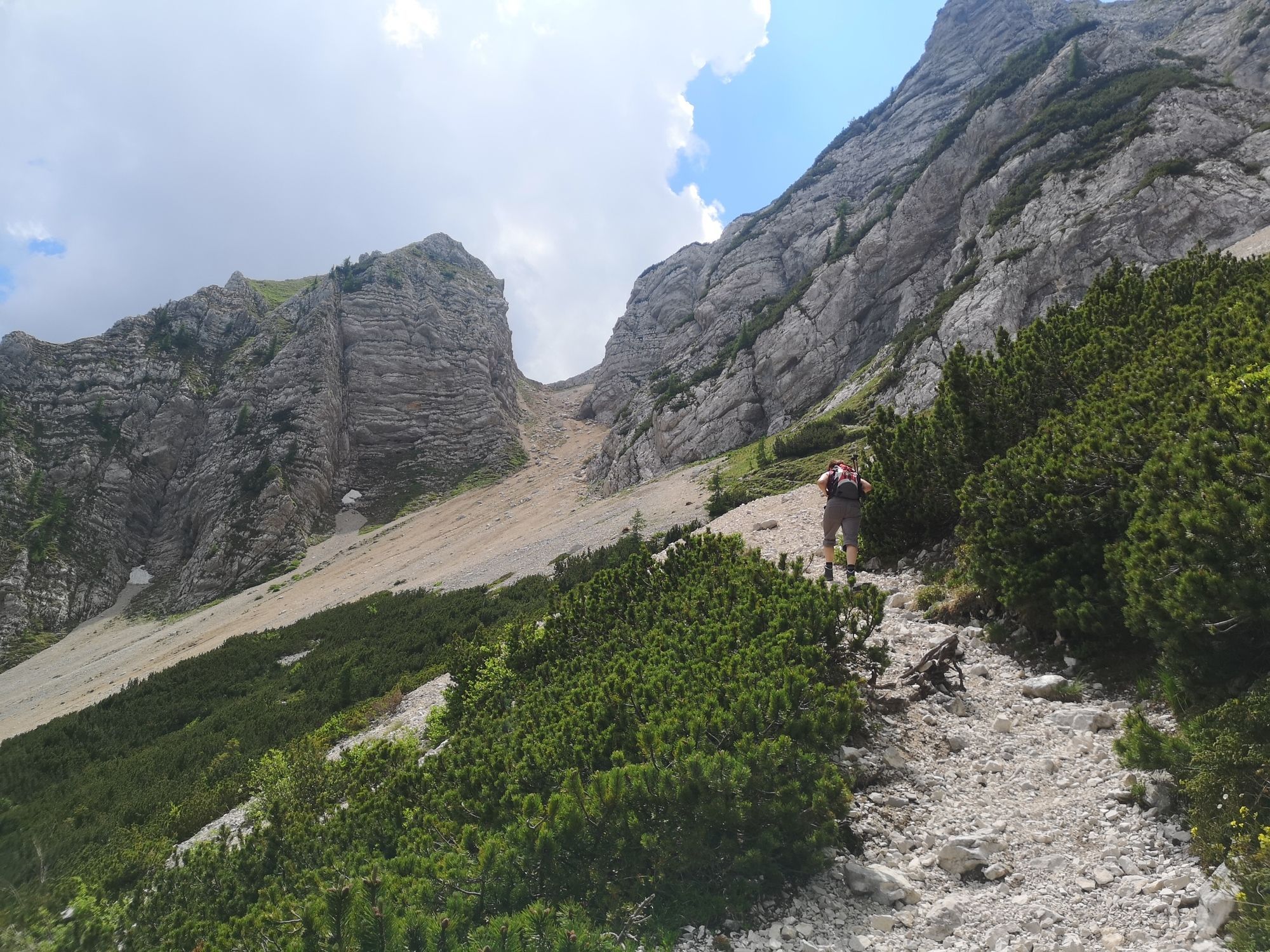
Ruta
Kranjska Gora - Mala Mojstrovka - Vratca pod Mojstrovko - Bovec
medio
Senderismo de montaña
4,78
km
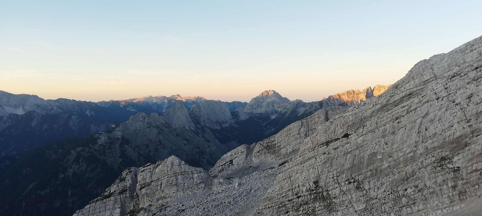
Vratca prelaz
(1.798 m)
Punto de vista
0,8 km
Mala Mojstrovka
(2.333 m)
Cumbre
2,6 km
Jama na Mojstrovki
(2.164 m)
Entrada de la cueva
3,0 km
Vratca pod Mojstrovko
(1.941 m)
Sillín de montaña
3,7 km
Autor
Proporcionado por Bergfex Tour Generator
Compartir gira
Kranjska Gora - Mala Mojstrovka - Vratca pod Mojstrovko - Bovec
medio
Senderismo de montaña
4,78
km
Error
Se ha producido un error. Por favor, inténtelo de nuevo.
Último seguimiento
2 hace semanas
Valoraciones
2 Comentarios
Stephan Weishaar
11. sep.. 2024
Verificado desaparecido
Ferrata Mala Mojstrovka hanza Steig
Schlechte Sicht am Gipfel, Abstieg am Bergkamm entlang...
Laura Lencse 1
23. ago.. 2024
Mala Mojstrovka
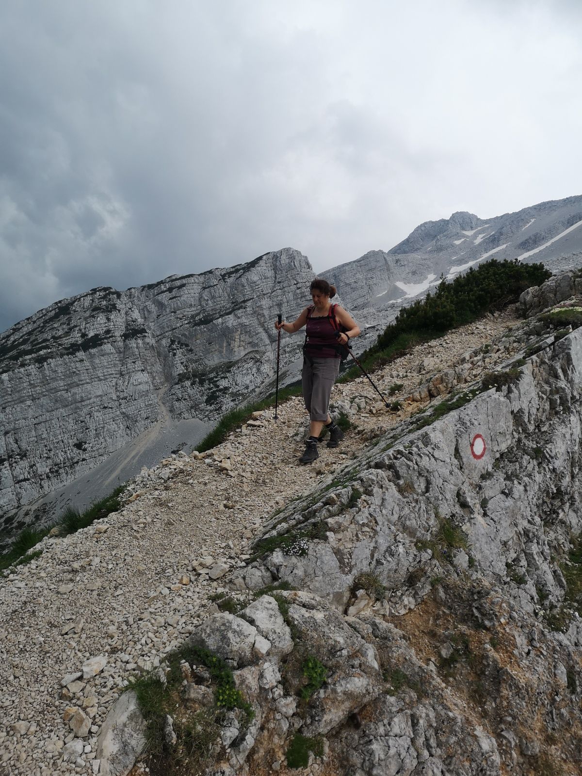
Must have: sunscreen, trekking pole, wind protection, good climbing boots.
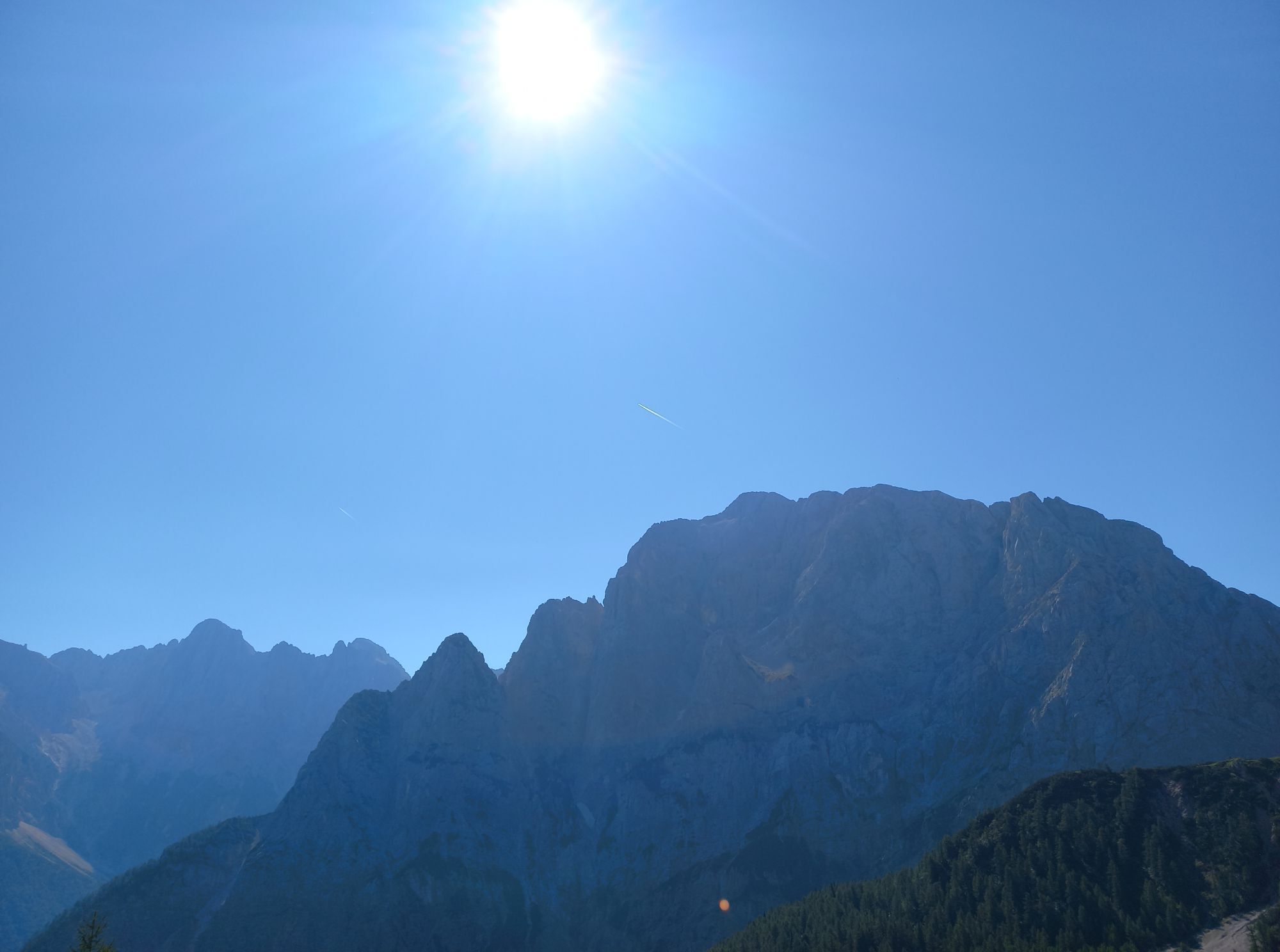
We set off early in the morning, around 7:40. The weather forecast was excellent, so we didn’t rush. There were only a few people around. The hike up was beautiful, but we easily missed the entry point. Therefore, anyone coming from Vršič should watch for the entry at the base of the mountain.
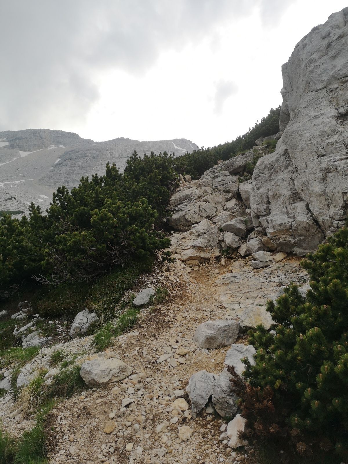
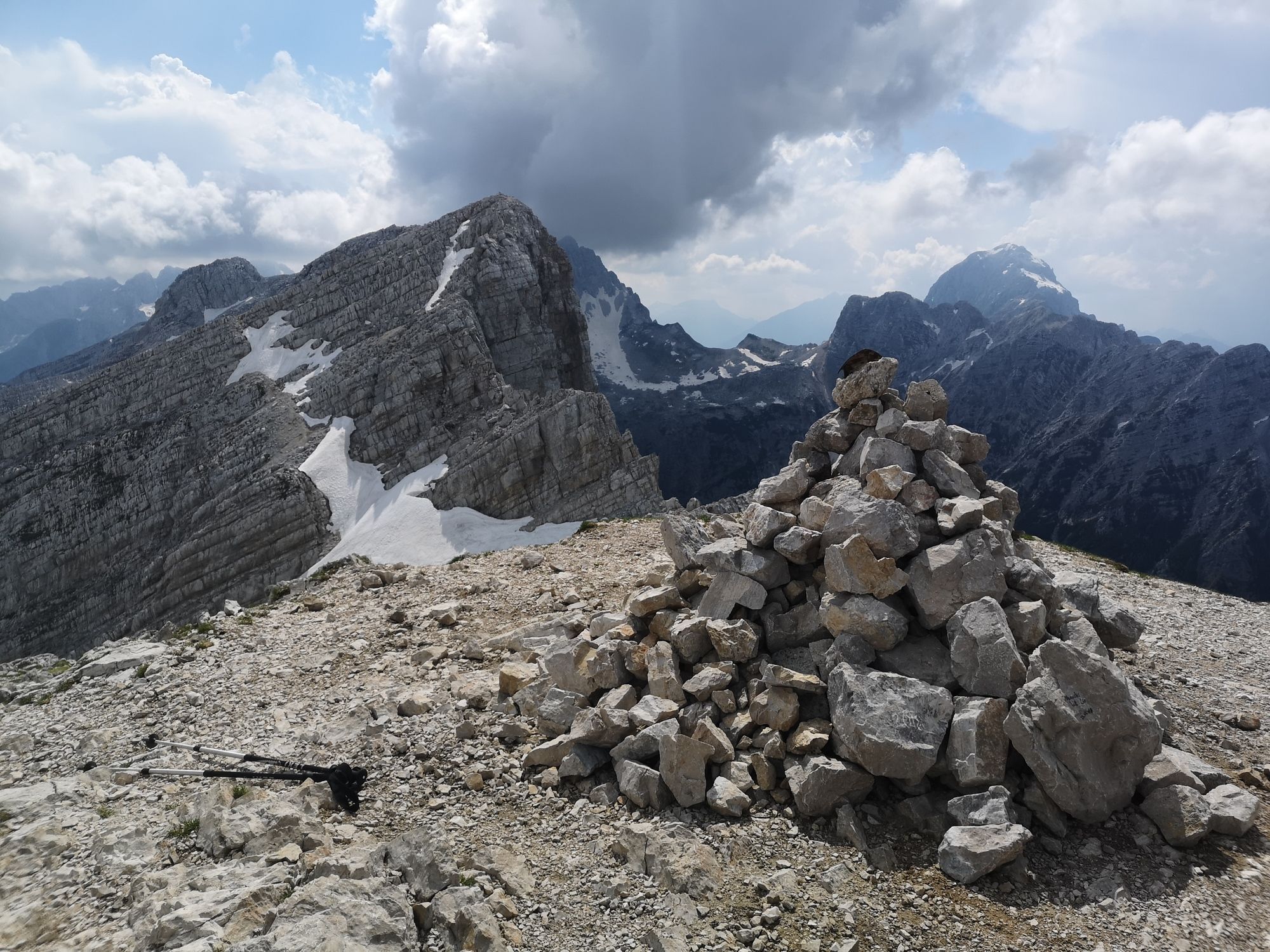
The first third of the route was a pleasant via ferrata. After that, many sections were exposed with no safety lines. The final part of the route, after the C-grade ferrata section, was pure rock climbing, with crumbling rocks and gravel. You have to pay close attention to the markers, as it’s easy to go off the correct path if you take a wrong turn. The summit is breathtaking and worth all the effort. The way down took us along a hiking trail, which was very loose and rocky. We made our way back slowly.


Rutas populares en los alrededores
-
4,7
Lagos Fusine
luzSenderismo 5,43 km -
4,9
Orrido dello Slizza, Tarvisio, Italië
luzSenderismo 2,65 km -
4,9
Krma - Triglav
pesadoSenderismo de montaña 18,6 km -
4,4
Cabaña Krnica
medioSenderismo 14,9 km -
4,2
Zacchi Wanderung Rundweg
luzSenderismo 8,85 km -
4,7
Weißenfelser Seen: Fusine in Valromana - Ai Sette Nani - Seealm
medioSenderismo 10,3 km -
4,3
Grande Ponza
Vía ferrata 9 km -
4,9
Triglav
pesadoExcursión de alta montaña 12,1 km -
3,8
Prisojnik Fensterweg (Okno) (B/C)
Vía ferrata 6,20 km -
4,6
Spaziergang entlang der Pišnica
luzSenderismo 8,13 km
Senderismo y rastreo

Más de 550.000 sugerencias de excursiones, mapas detallados y un intuitivo planificador de rutas hacen de esta aplicación una herramienta imprescindible para todos los amantes de la naturaleza.

No se pierda las ofertas y la inspiración para sus próximas vacaciones
Suscribirse al boletín de noticias
Error
Se ha producido un error. Por favor, inténtelo de nuevo.
Gracias por inscribirse
Su dirección de correo electrónico se ha añadido a la lista de correo.
Viajes por Europa
Austria
Suiza
Alemania
Italia
Eslovenia
Francia
Países Bajos
Belgium
Polonia
Liechtenstein
República Checa
Slovakia
España
Croacia
Bosnia y Herzegovina
Luxemburgo
Andorra
Portugal
Iceland
United Kingdom
Ireland
Greece
Albania
North Macedonia
Malta
Norway
Montenegro
Moldova
Kosovo
Hungary
San Marino
Romania
Estonia
Latvia
Belarus
Cyprus
Lithuania
Serbia
Bulgaria
Monaco
Denmark
Sweden
Finland