


Summit ascent Omeshorn
Nivel de dificultad: T2
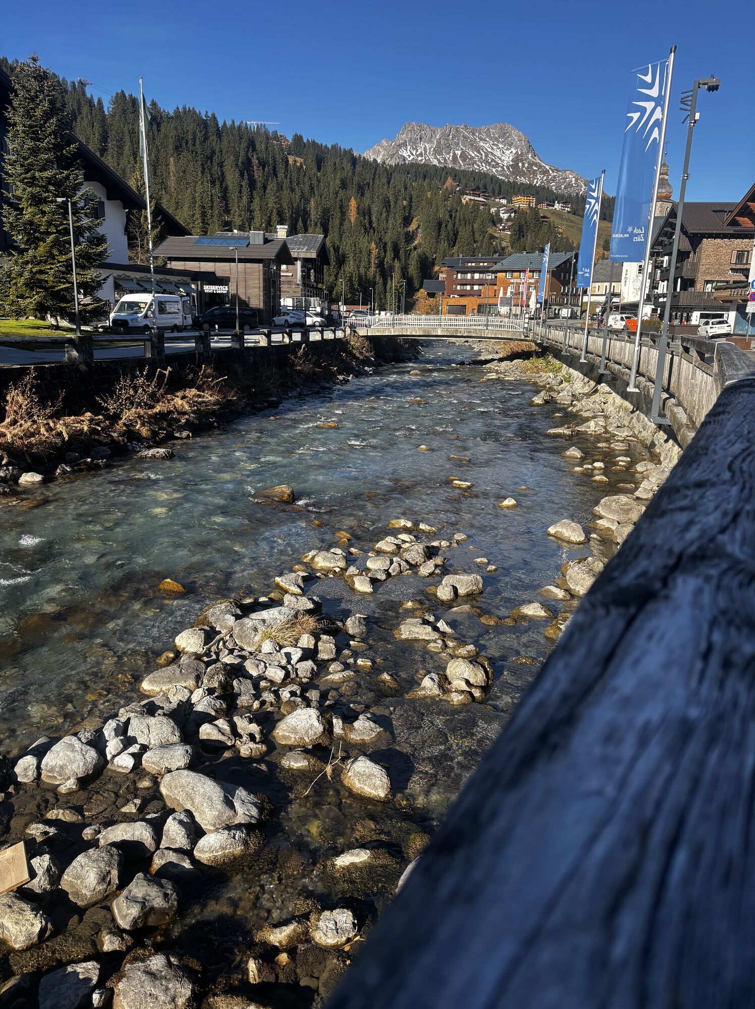
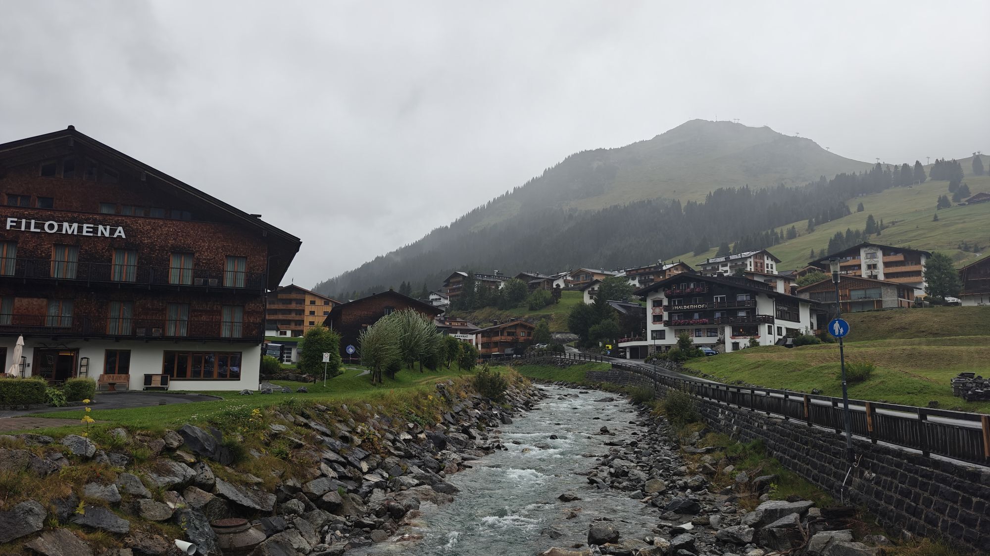
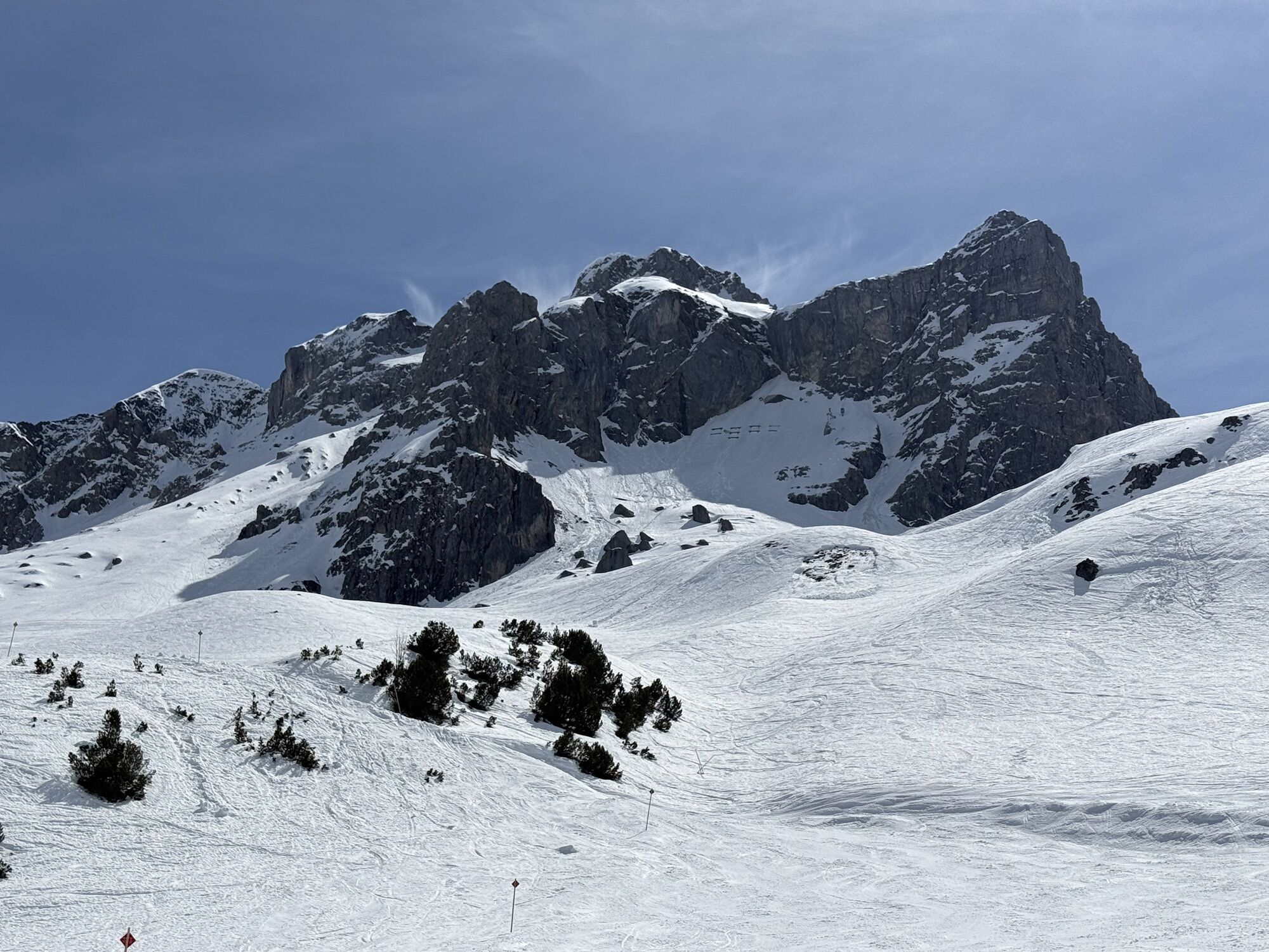
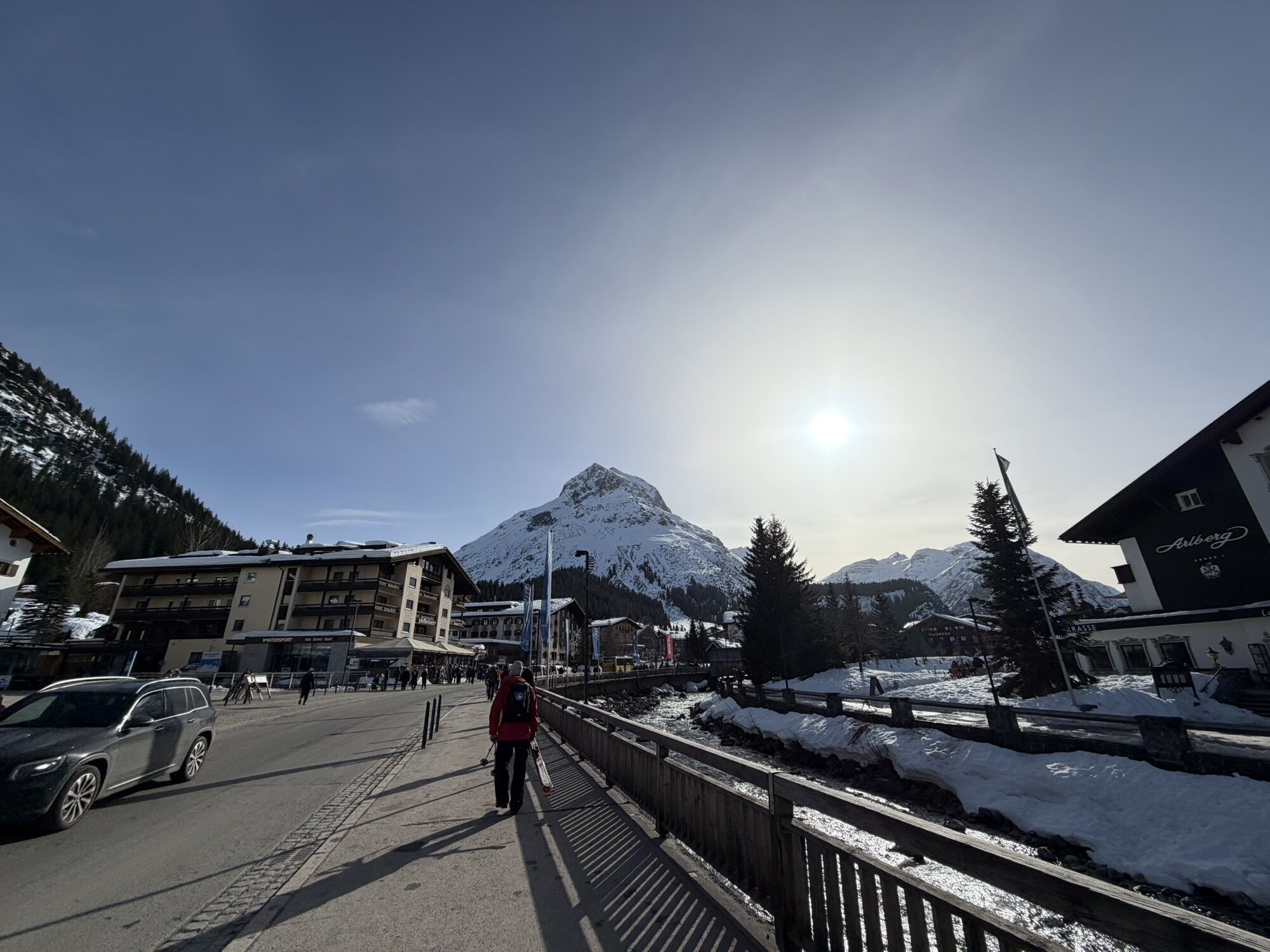

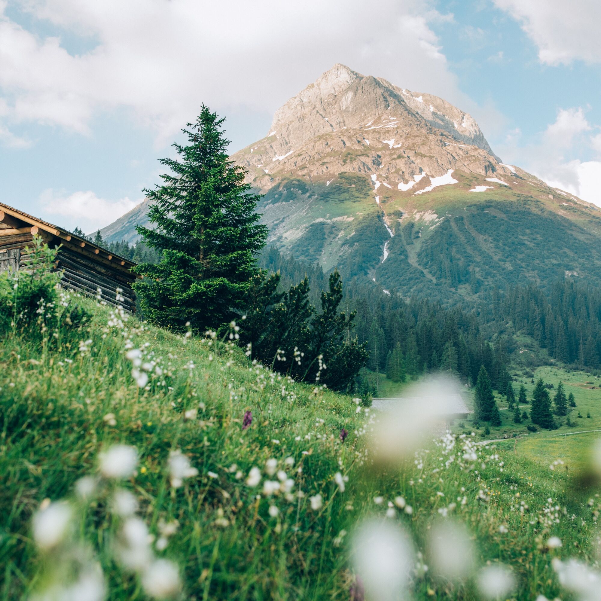
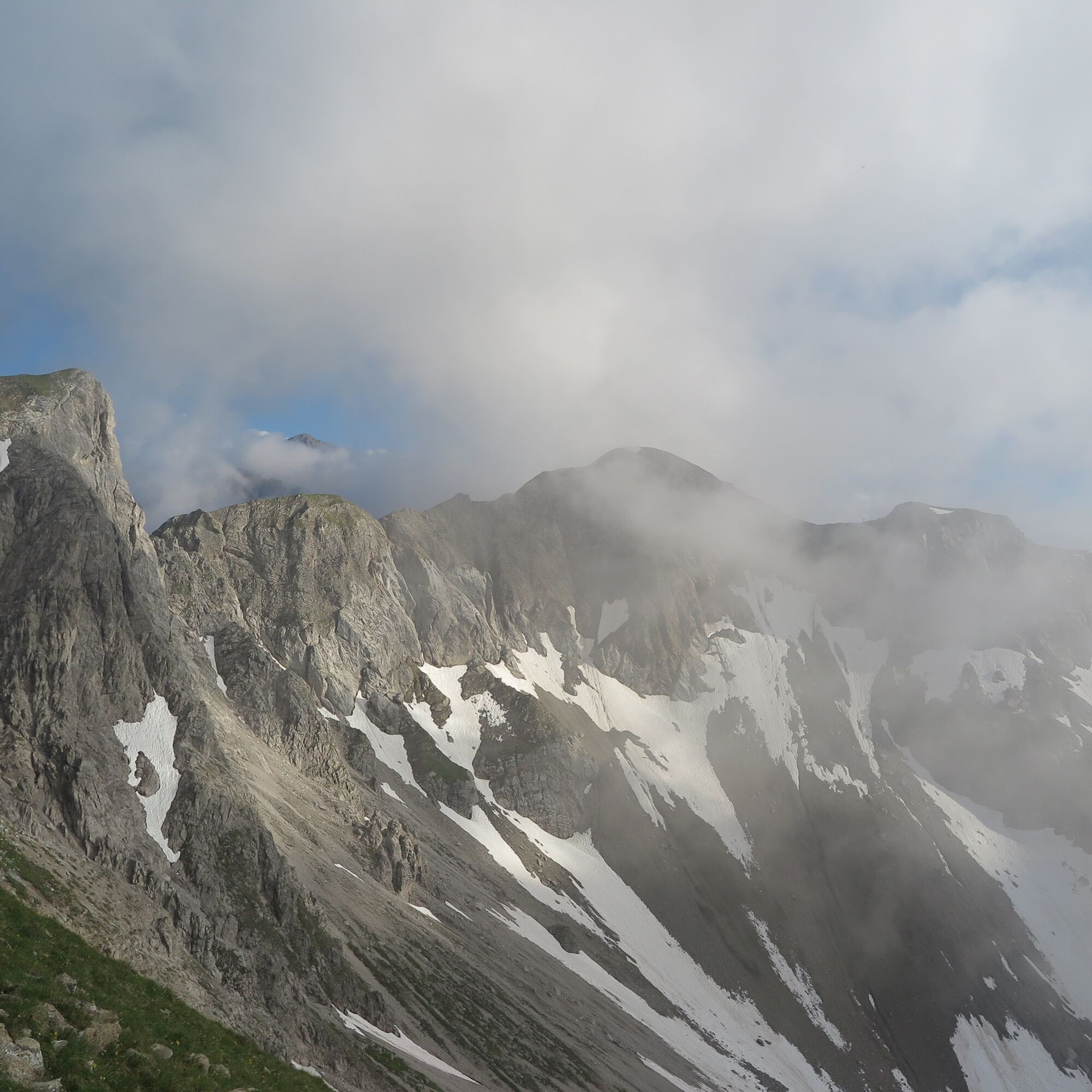
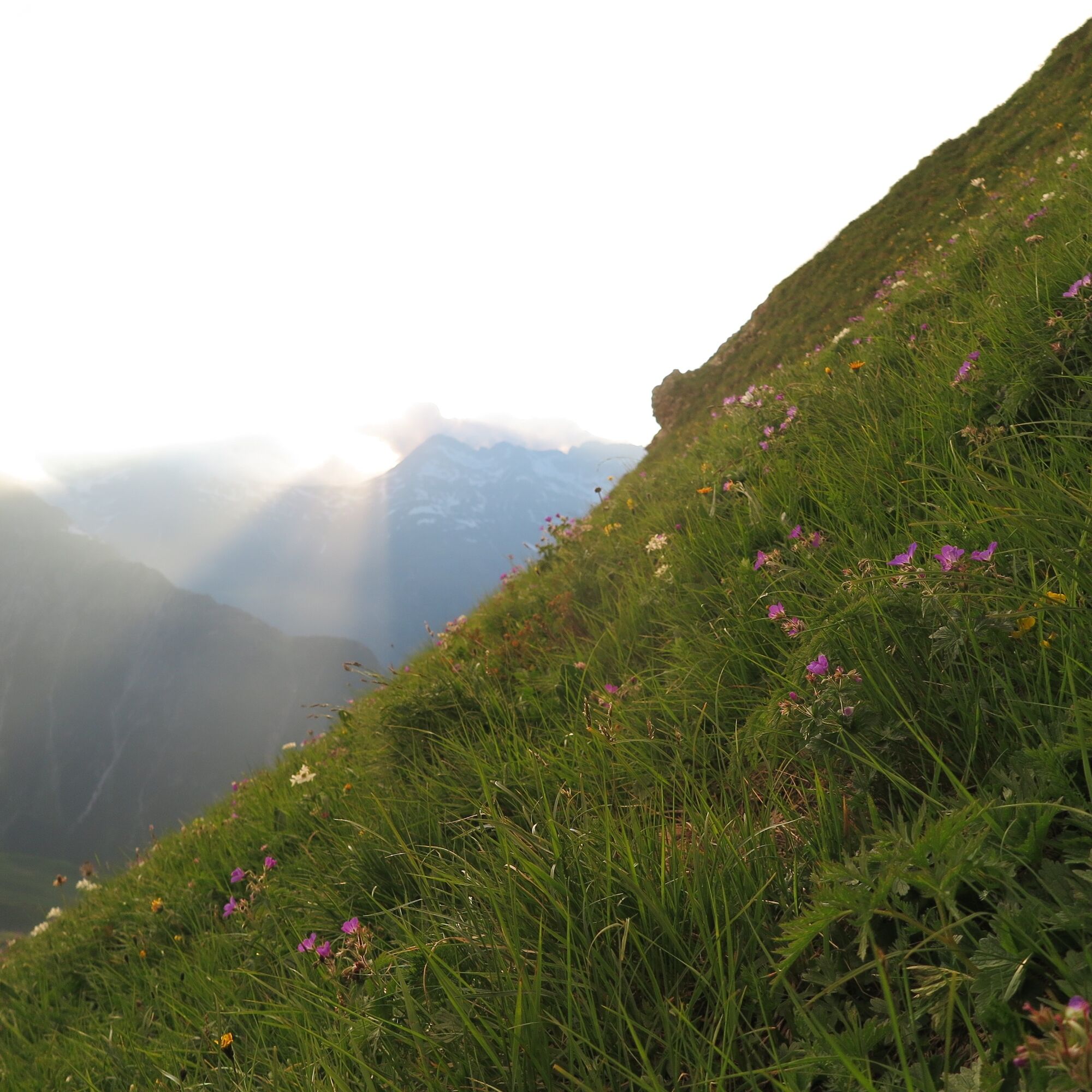
The Omeshorn over Lech Zürs... Many peaks are directly accessible from Lech and Zürs, but no mountain over Lech is as striking as the Omeshorn. The steep rock flank has to be circumnavigated in winter...
The Omeshorn over Lech Zürs... Many peaks are directly accessible from Lech and Zürs, but no mountain over Lech is as striking as the Omeshorn. The steep rock flank has to be circumnavigated in winter on skis at the famous White Ring, in summer one can reach the summit on the grassy backside. For this tour, a head for heights and sure-footedness is necessary, after rainy days, this tour should not be done.
Sí
Sí
Good footwear (ankle high, profile sole), rain protection, Lech Card and bus timetable.
140 Alpine Emergencies Austria-wide
144 Alpine Notfälle Vorarlberg
112 Euro emergency call (works with any mobile phone/network)
From Switzerland: Via the A13 motorway and the Feldkirch, Hohenems or Lustenau border crossing on the A14 motorway to Bludenz. Continue on the S16 until exit Lech Zürs am Arlberg. Follow the B197 up to Alpe Rauz, turn left here onto the B198 through Flexengalerie and over the Flexenpass to Lech Zürs am Arlberg.
From Austria: Via the Inntalautobahn A12 and then via the S16 to the exit St. Anton am Arlberg (Arlberg Pass). Follow the B197 first through St. Anton, then through St. Christoph and over the Arlbergpass to Alpe Rauz. Turn right here onto the B198, drive through Flexengalerie and over the Flexenpass to Lech Zürs am Arlberg.
By train to Langen am Arlberg station or St. Anton am Arlberg. From there, buses (No. 750+760) run regularly to Lech Zürs am Arlberg.
You can either park your vehicle directly at your host’s property or use the Anger underground parking garage. The garage is located right in the town center, across from the Dorfhus Lech. The garage is open 24 hours a day. The service station is open from 8:00 AM to 5:00 PM. Cash payments are not accepted.
T2
Highlights: Unrivalled views of Lech am Arlberg and the surrounding mountains
Places to stop for refreshments: Fish pond and restaurants in Lech am Arlberg and Zug
Alternative route: The route can also start in Zug (slightly shorter, but steeper at the start)
Webcams del recorrido
-
Flühenlift
-
Oberlech
-
Zürs - Trittkopf Bergstation
-
Zürs - Seekopf
-
Lech am Arlberg - Hotel Goldener Berg Oberlech
-
Lech am Arlberg - Pension Bergland
-
Lech am Arlberg - Kriegerhornbahn
-
Ravensburger Hütte
-
Ravensburger Hütte
-
Zug
-
Lech am Arlberg
-
Oberlech - Pension Bergland
-
Lech - Wöstersattel
-
Chalet Anna Maria
-
Lech Rüfikopf


Rutas populares en los alrededores
-
4,7
Kristberg - Wasserstubental - Silbertal
luzSenderismo 13,8 km -
4,4
Recorrido circular por el valle Bärgunttal
medioSenderismo 4,75 km -
4,7
Widderstein Runde von Baad
medioSenderismo 15,8 km -
4,8
Biberkopf
pesadoSenderismo 7,70 km -
4,4
Ruta circular por el Derratal
medioSenderismo 8,11 km -
4,8
Ruta circular por el Gemsteltal
luzSenderismo 5,53 km -
3,3
Dalaas - Freiburgerhütte
medioSenderismo 8,40 km -
4,0
Stuben - Stubner See - Kaltenberghütte - Stuben
medioSenderismo 9,90 km -
4,9
Braunarlspitze
pesadoSenderismo 16,6 km -
4,8
Ruta de montaña a la cabaña Fiderepasshütte
pesadoSenderismo 12,8 km
Senderismo y rastreo


No se pierda las ofertas y la inspiración para sus próximas vacaciones
Su dirección de correo electrónico se ha añadido a la lista de correo.