


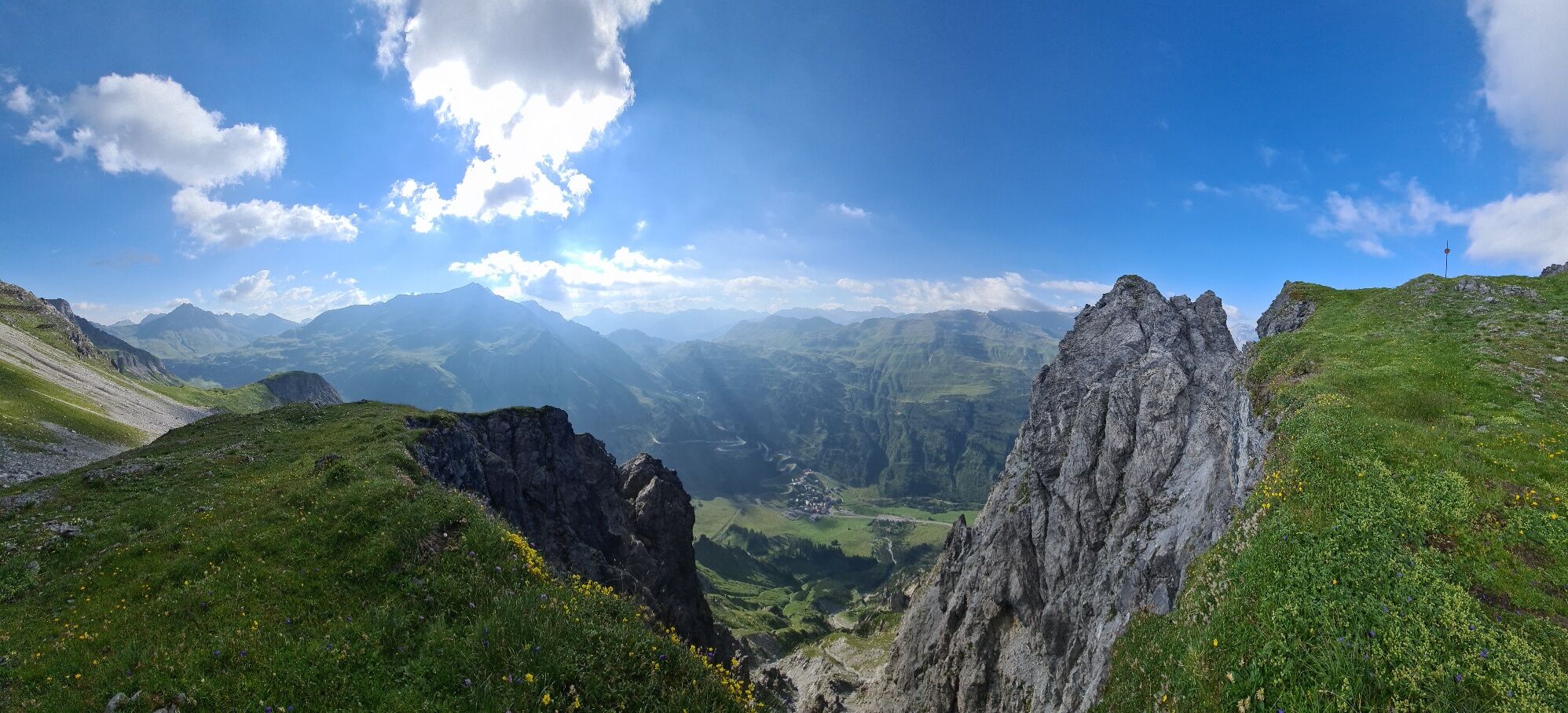
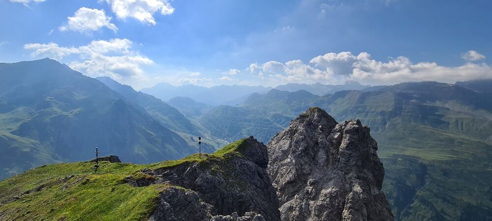
Erzbergsattel (Stubner Kreuz)
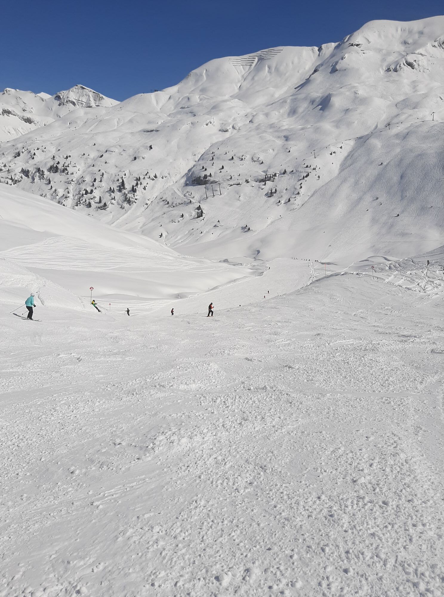
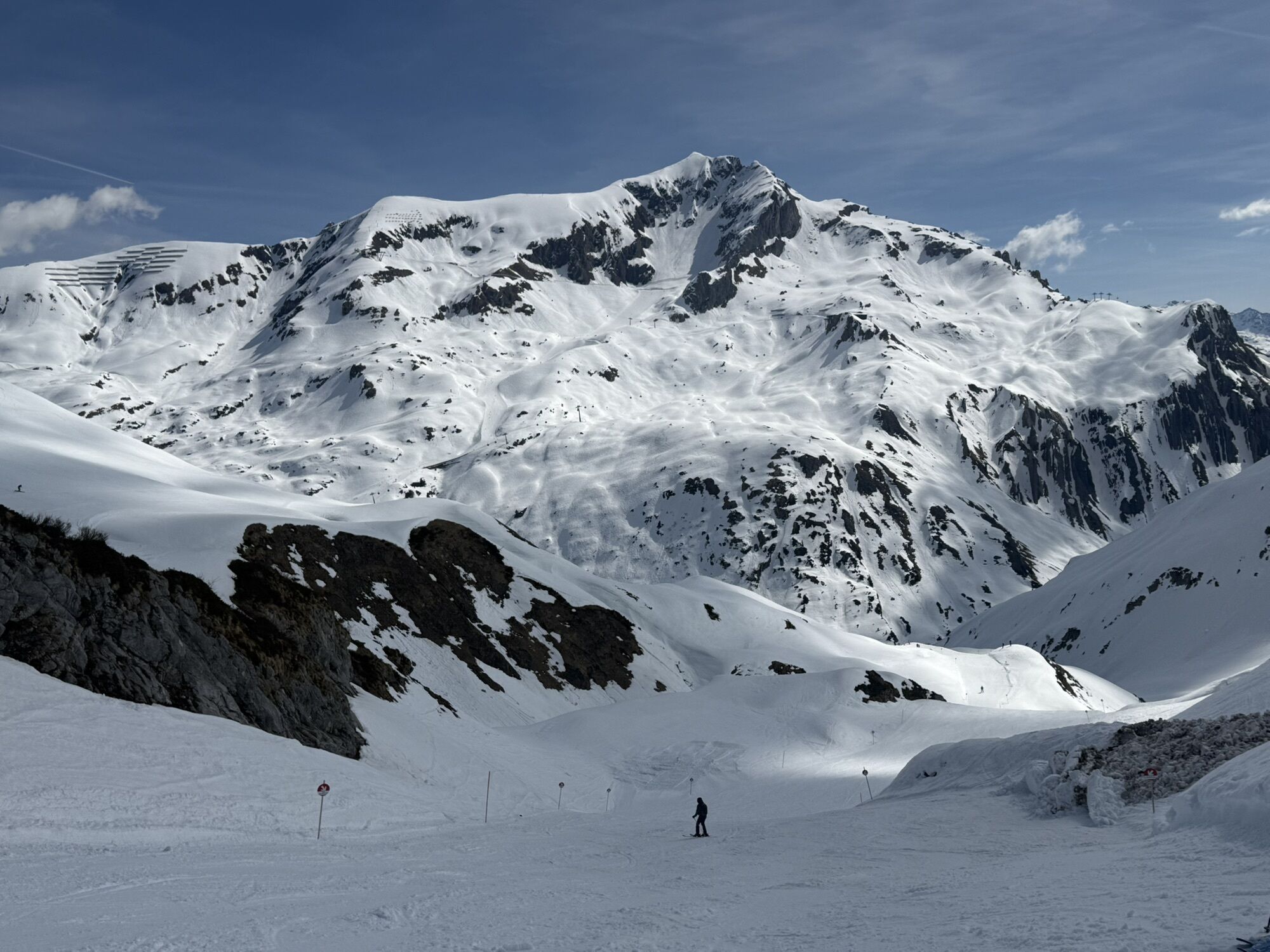
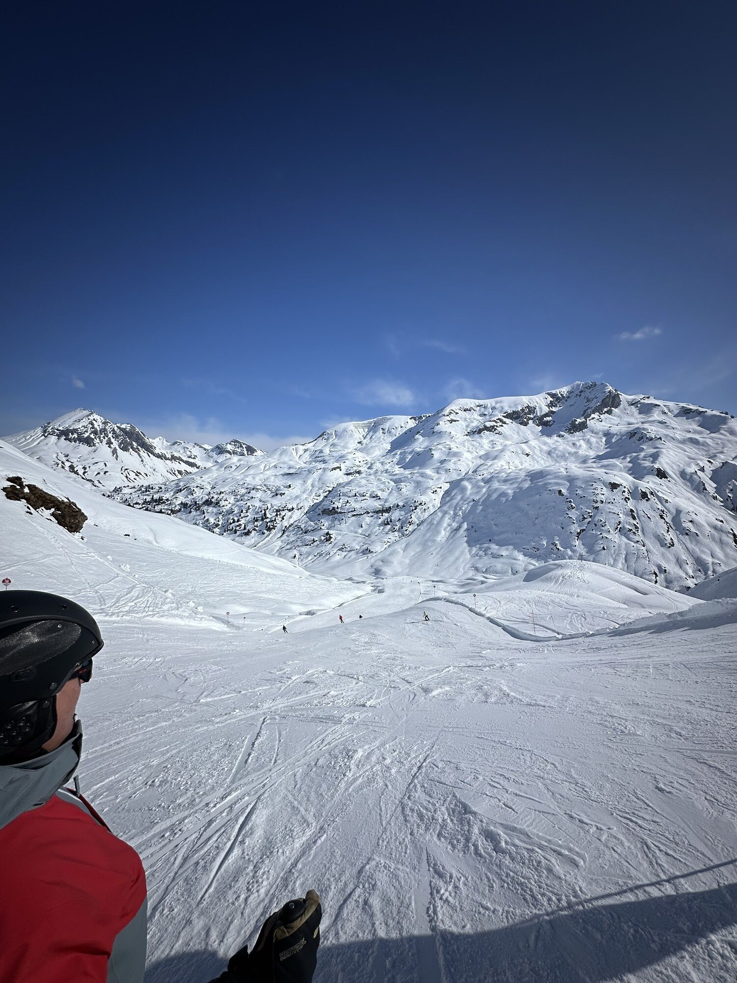
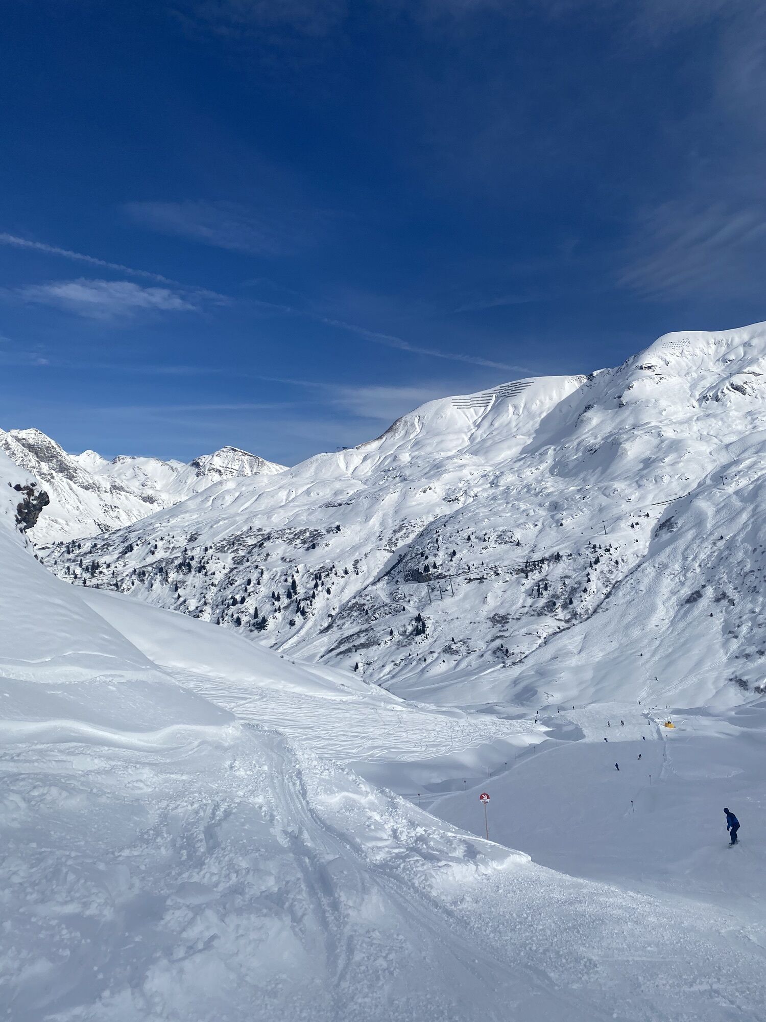
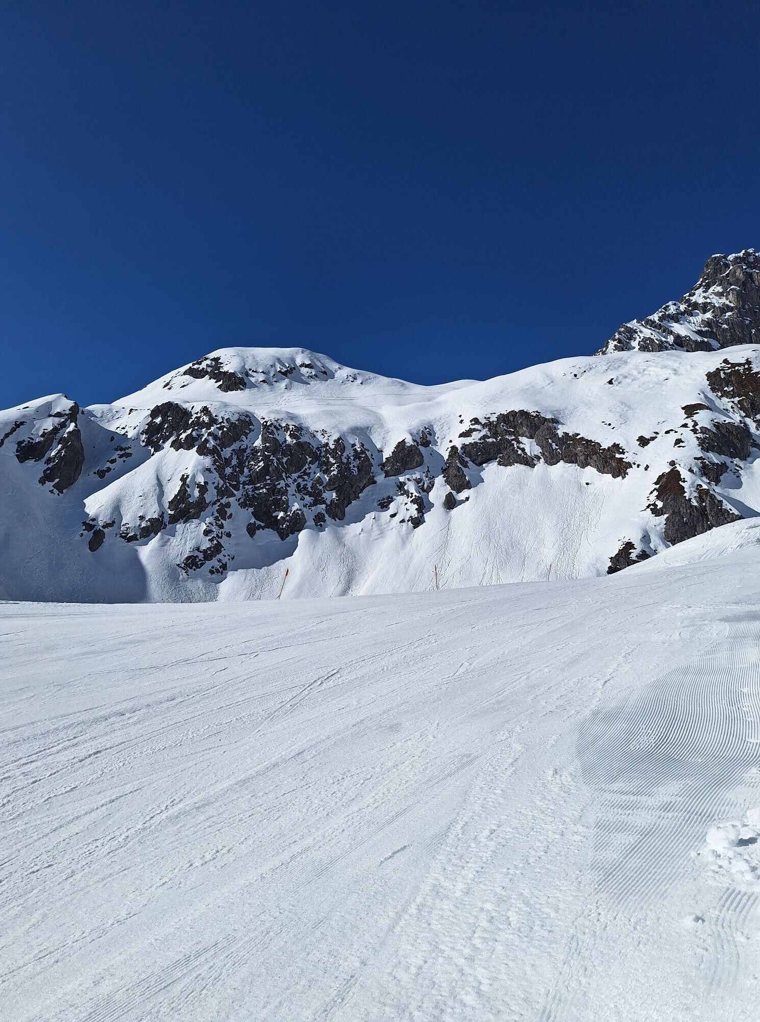
A lonely presummit with a spectacular view of Stuben and the Flexenpass road.


Sí
Sturdy shoes (ankle-high), clothing appropriate for the weather, rain & sun protection, cell phone for emergencies, possibly hiking poles (especially for the descent), enough liquid & possibly small mountain snack.
140 Alpine Emergencies Austria-wide
144 Alpine Emergencies Vorarlberg
112 Euro emergency call (works with any mobile phone/network)
From Switzerland: Take the A13 and cross the border at Feldkirch, Hohenems or Lustenau onto the A14 to Bludenz. Continue on the S16 to the Lech Zürs am Arlberg exit. Follow the B197 to Stuben am Arlberg.
From Austria: Take the A12 Inntal motorway and continue on the S16 to the St. Anton am Arlberg (Arlberg Pass) exit. Follow the B197 first through St. Anton, then through St. Christoph and over the Arlberg Pass to Stuben am Arlberg.
Take the train to Langen am Arlberg or St. Anton am Arlberg station. From there, buses (nos. 750 and 760) run regularly to Stuben am Arlberg.
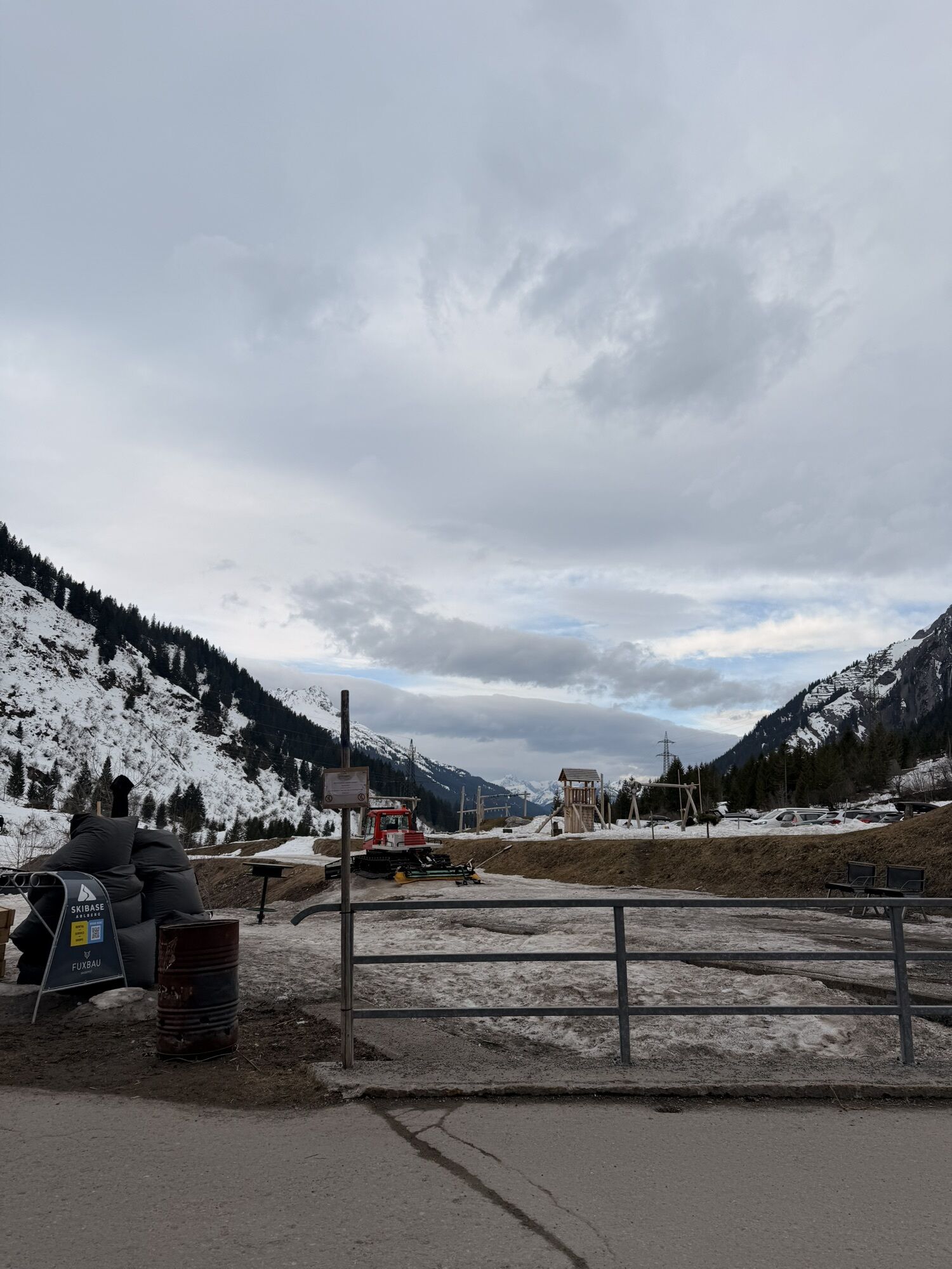
There is a large car park at the entrance to Stuben am Arlberg.
If you want to save yourself the descent via the Franz-Josef-Weg, you can also take the number 750 bus from the Flexenpass back to Stuben.
Sights: European watershed, Flexenpass, view of Stuben
Refreshments: Restaurants in Stuben
Rutas populares en los alrededores
-
4,8
Biberkopf
pesadoSenderismo 7,70 km -
4,6
Kristberg - Wasserstubental - Silbertal
luzSenderismo 13,8 km -
4,4
St Anton zur Darmstädter Hütte
pesadoMountainbike 28,4 km -
3,3
Dalaas - Freiburgerhütte
medioSenderismo 8,40 km -
4,0
Stuben - Stubner See - Kaltenberghütte - Stuben
medioSenderismo 9,90 km -
4,9
Braunarlspitze
pesadoSenderismo 16,6 km -
3,3
Rote Wand 2704m
pesadoSenderismo 13,9 km -
4,7
Camino a la cima del Muttjöchle
medioSendero temático 7,50 km -
4,7
Lechweg Etappe 1
luzSenderismo 14,0 km -
4,1
Köbersee
luzSenderismo 6,66 km
Senderismo y rastreo


No se pierda las ofertas y la inspiración para sus próximas vacaciones
Su dirección de correo electrónico se ha añadido a la lista de correo.