





Over the Steinmayerweg to the Göppingen hut
Nivel de dificultad: T3
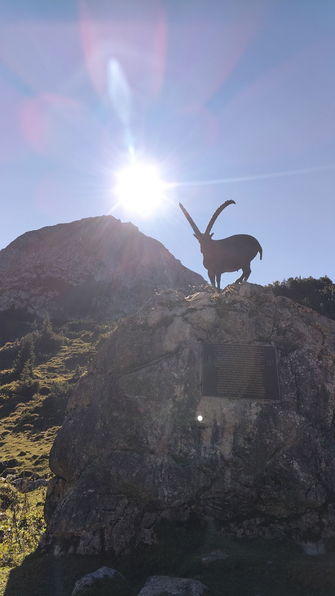
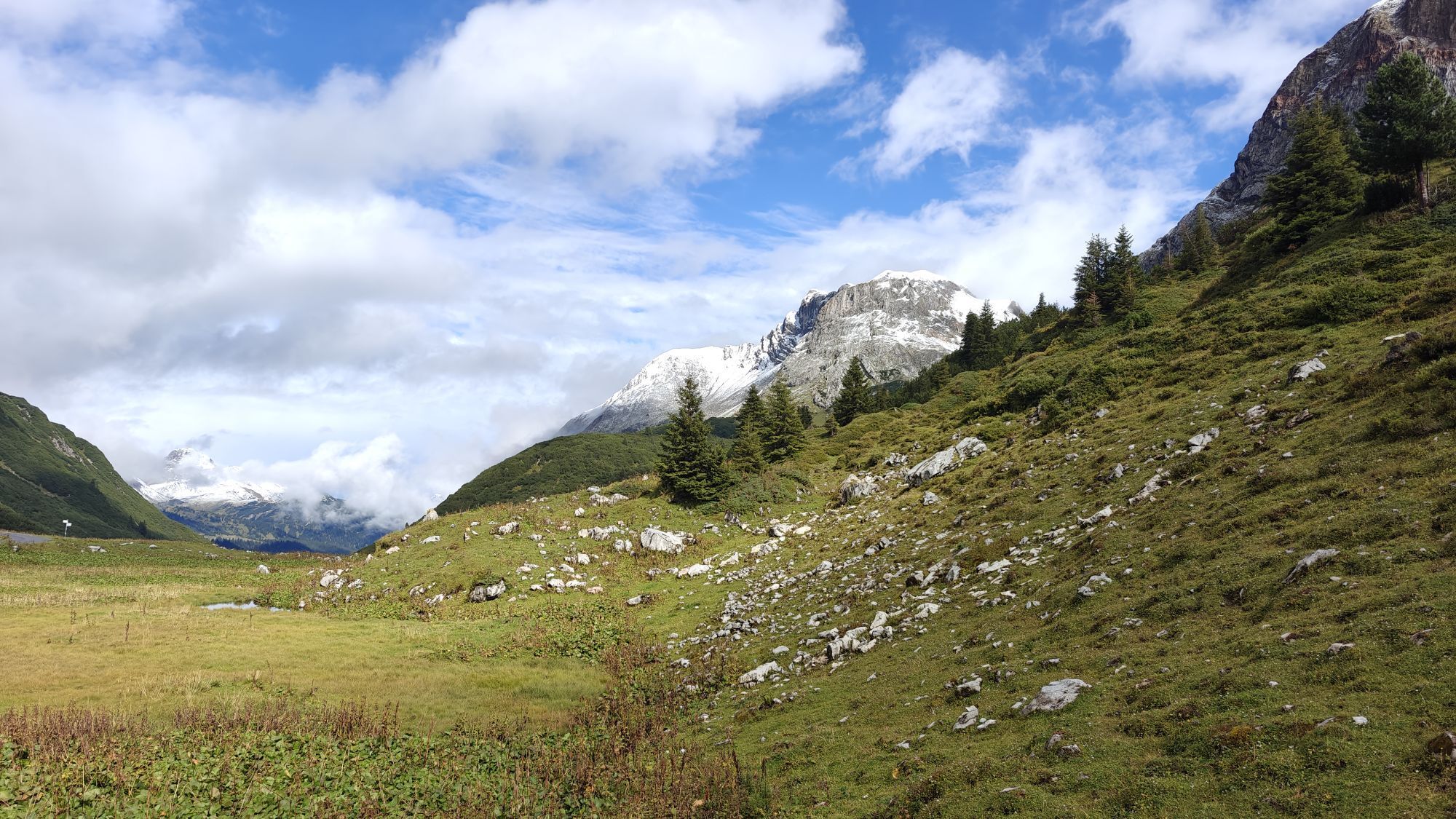
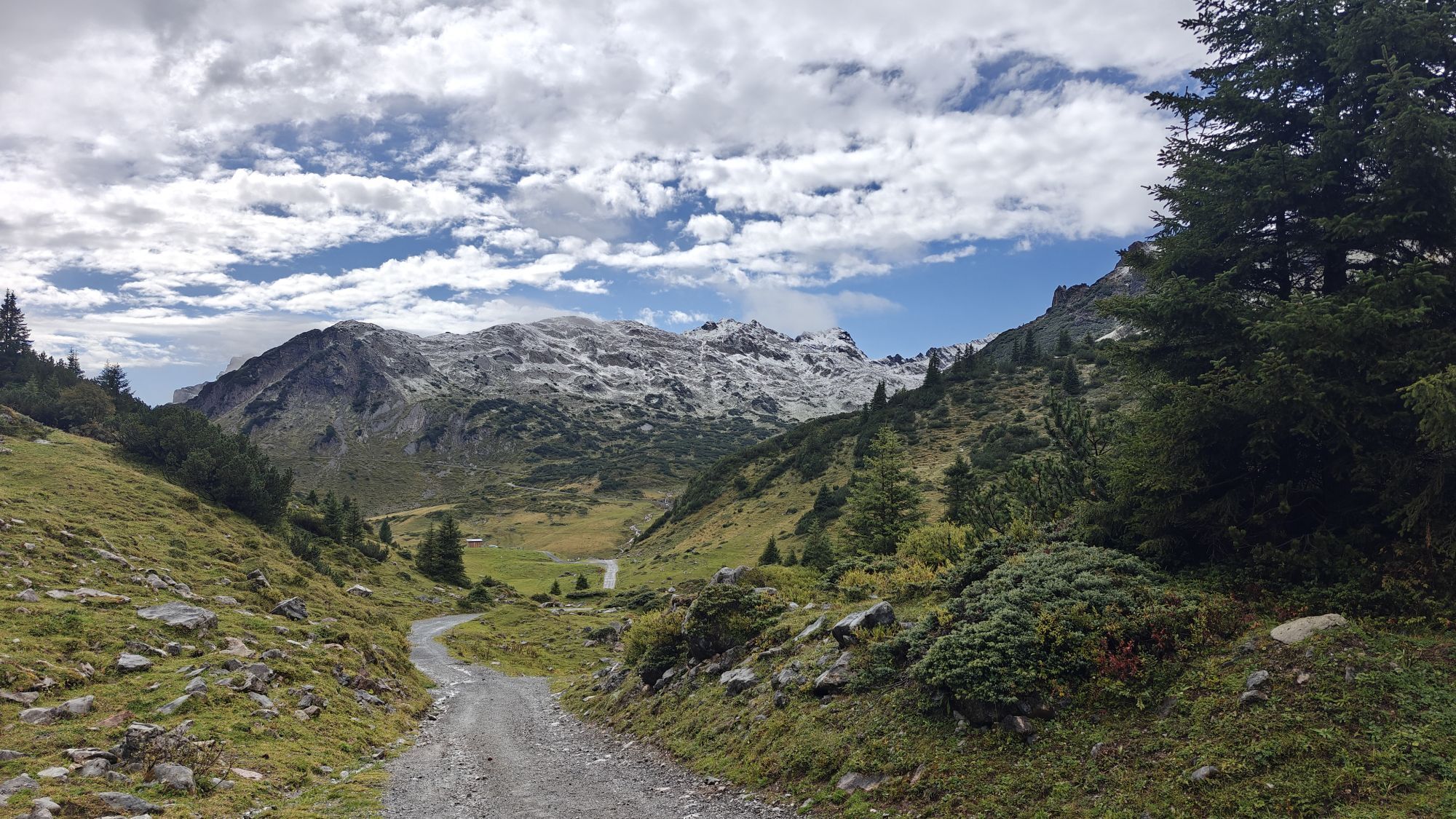
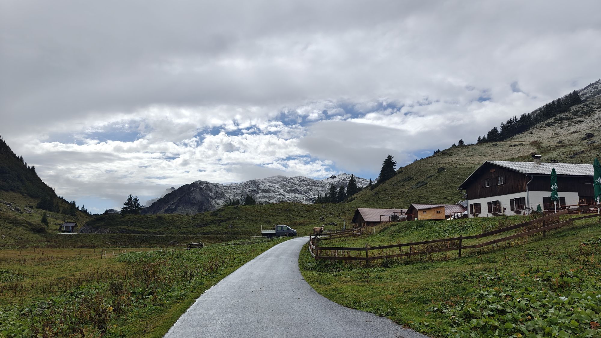
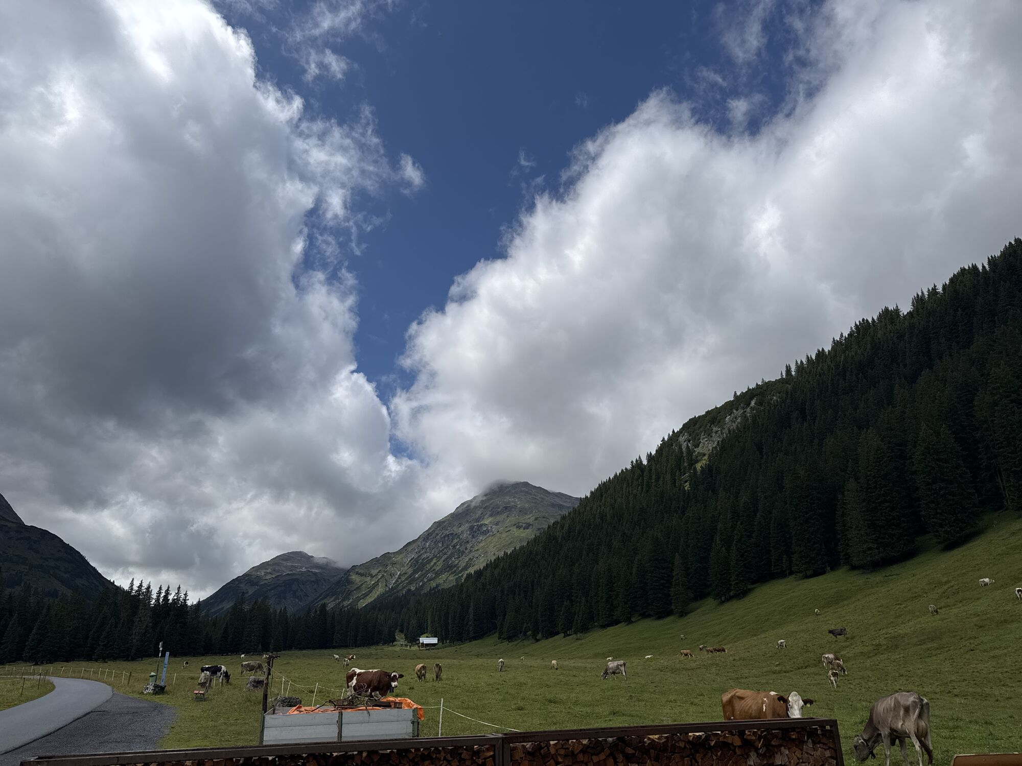
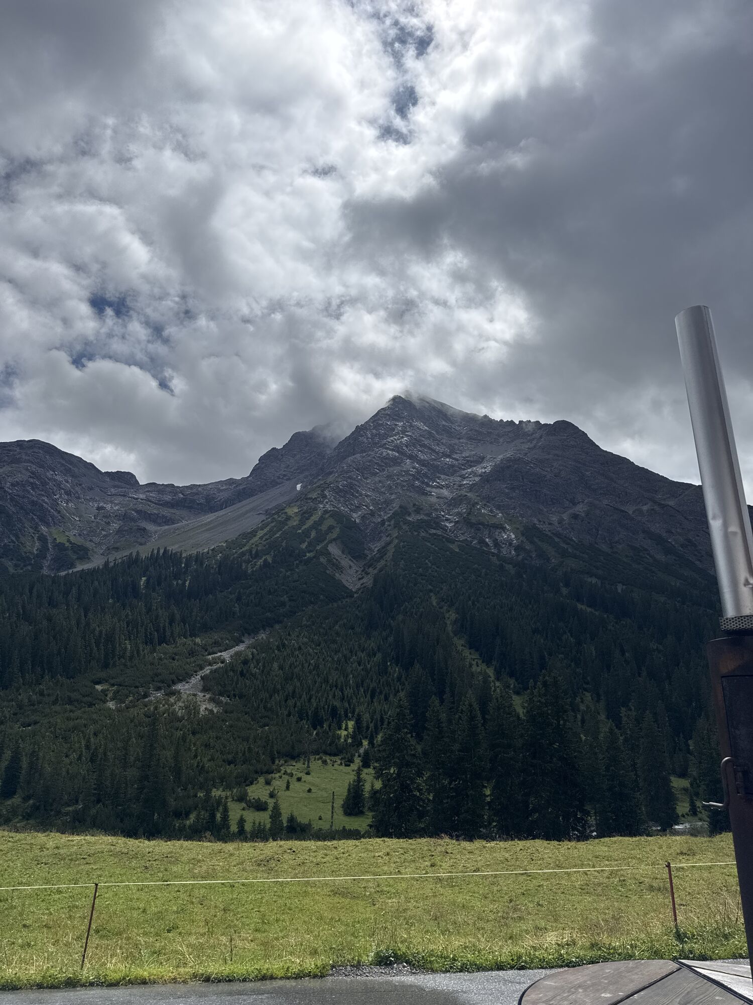
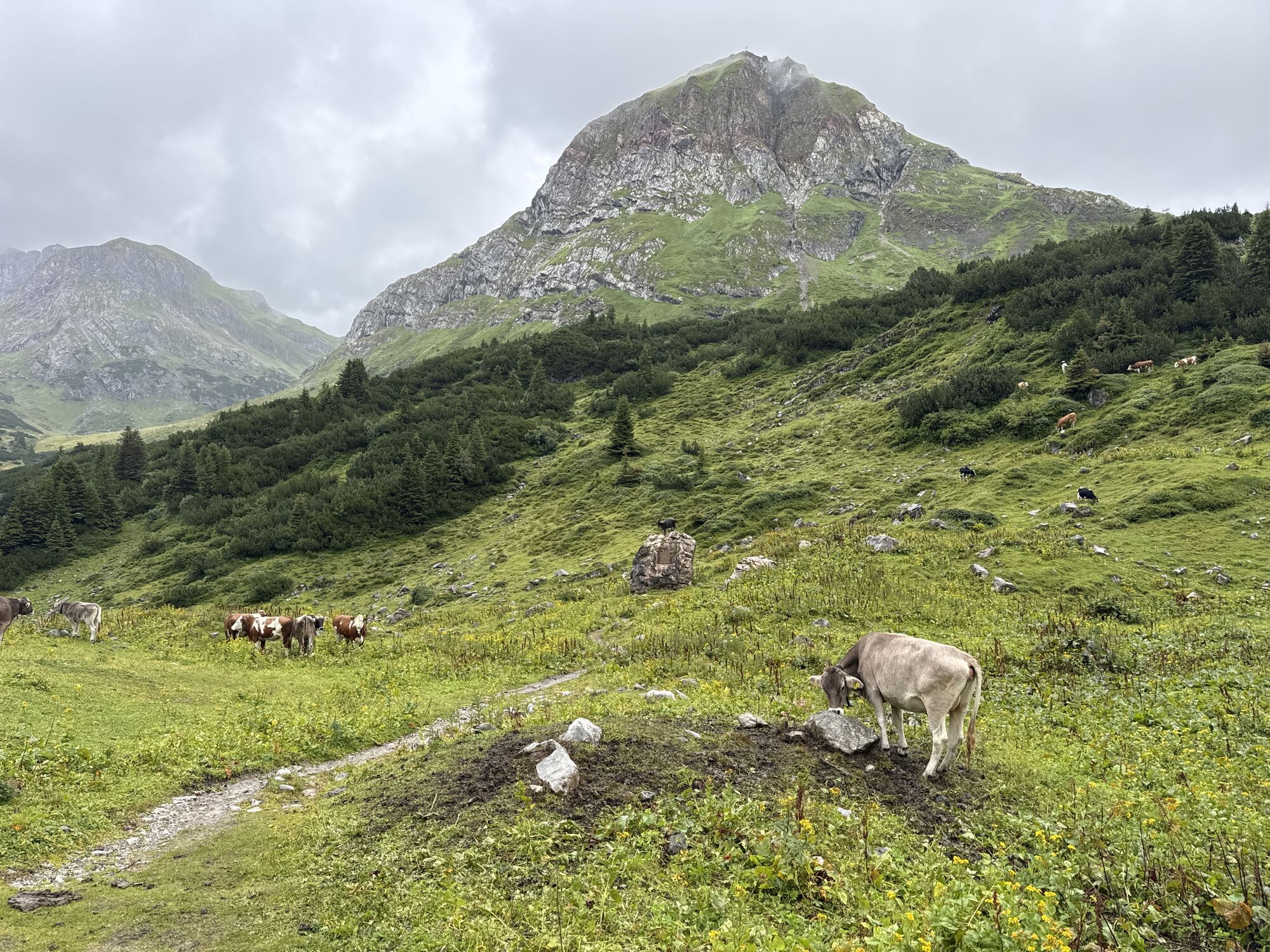
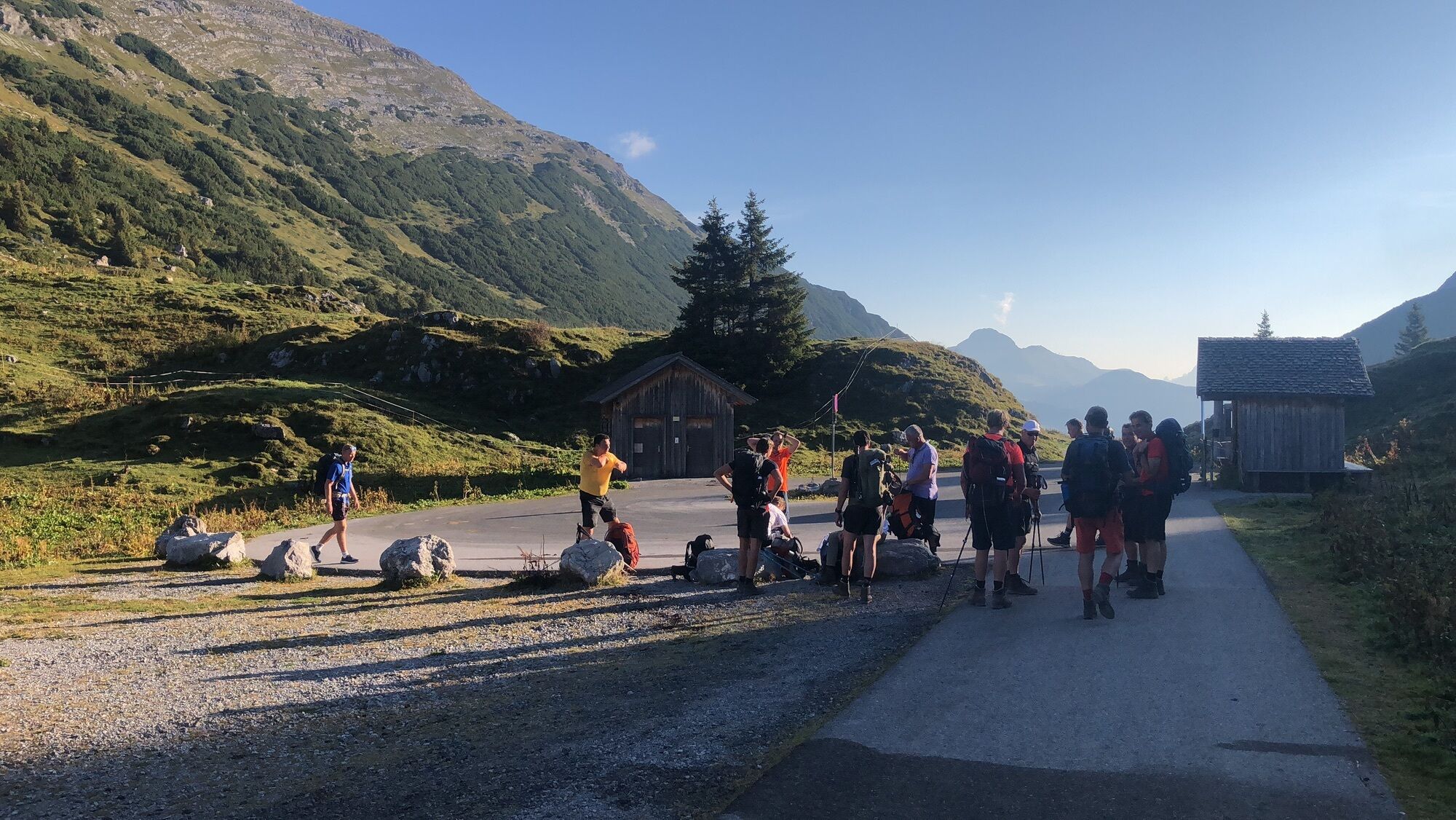
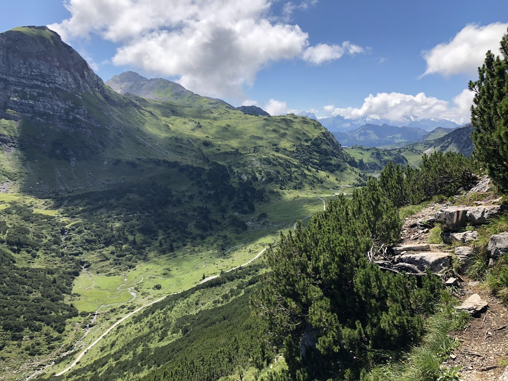
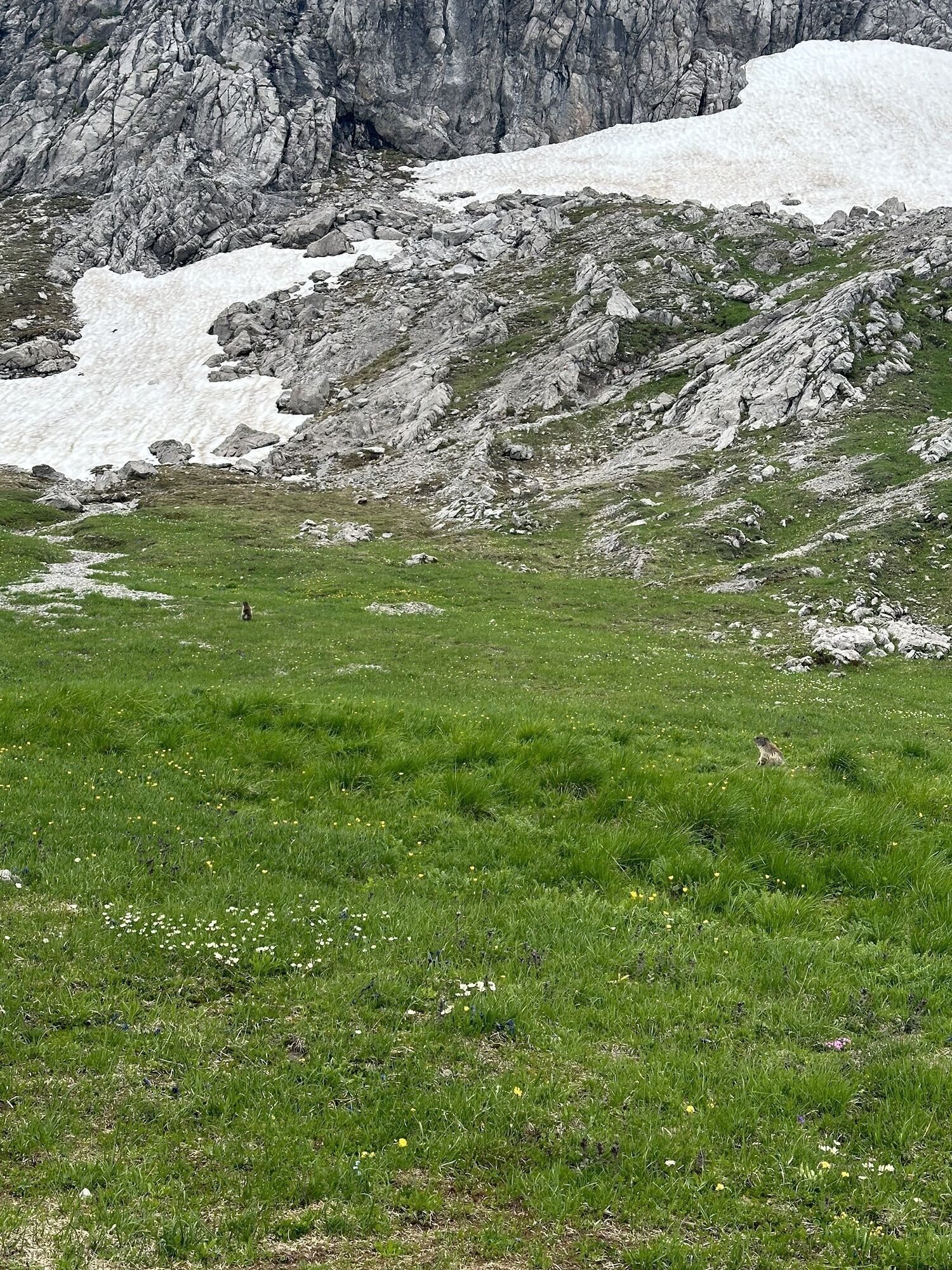
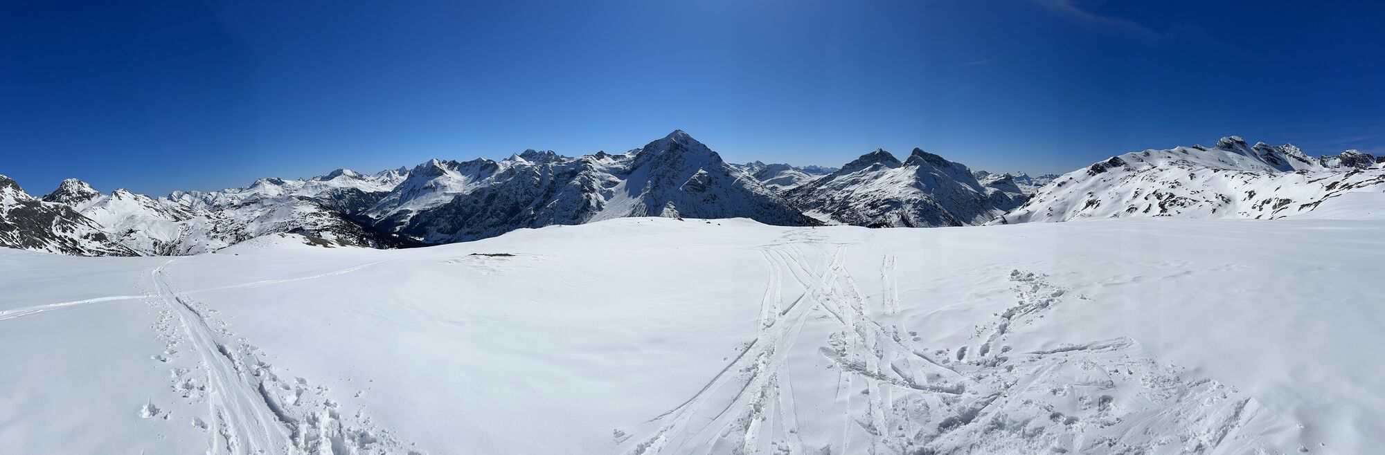
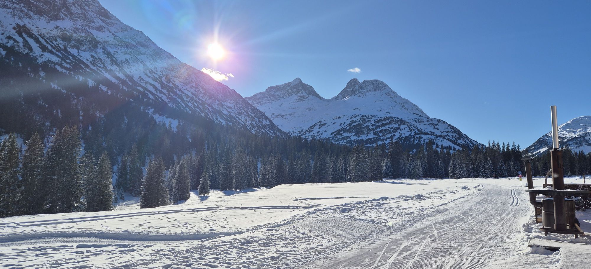
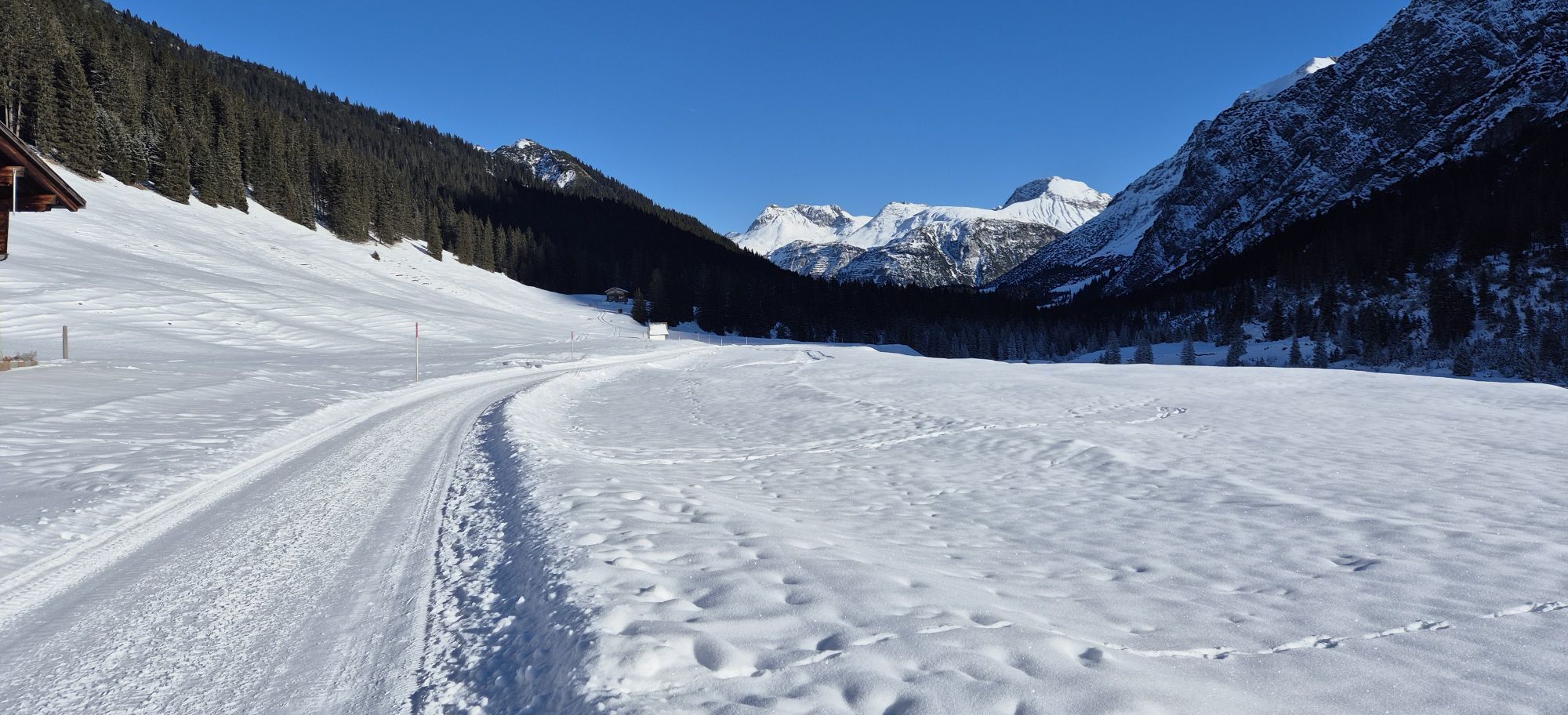
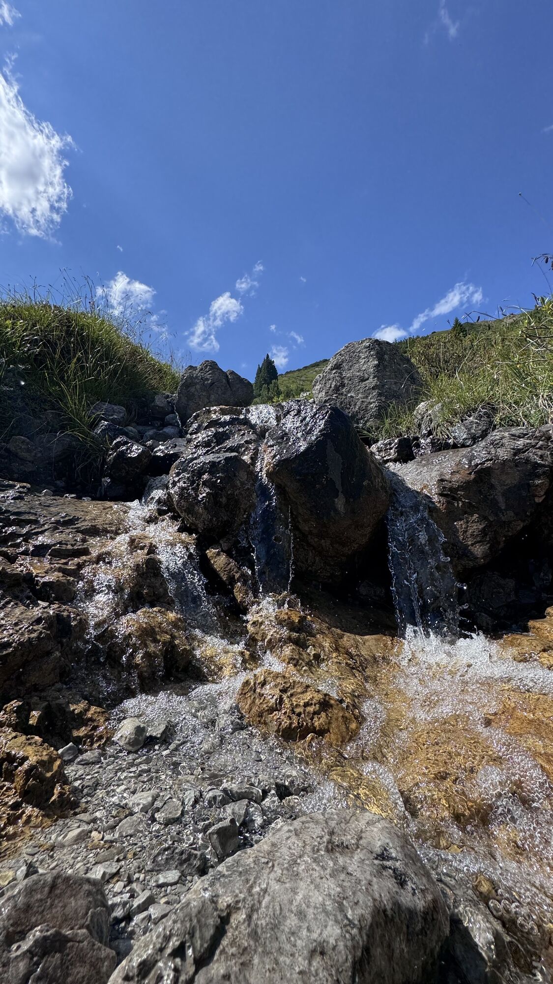
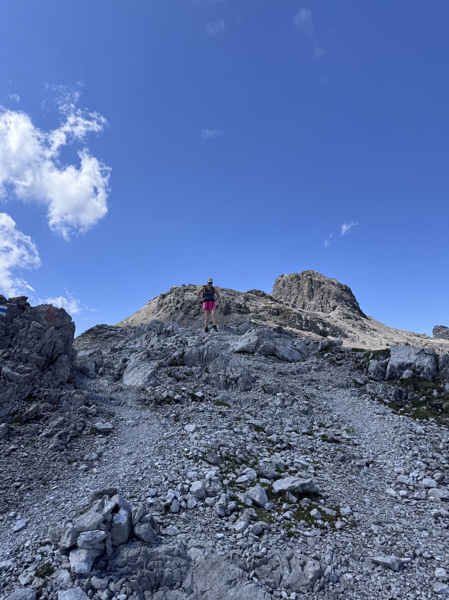
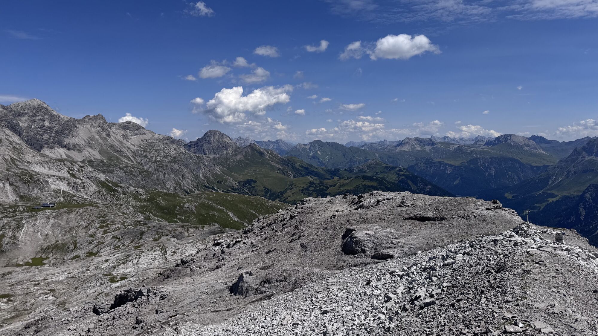
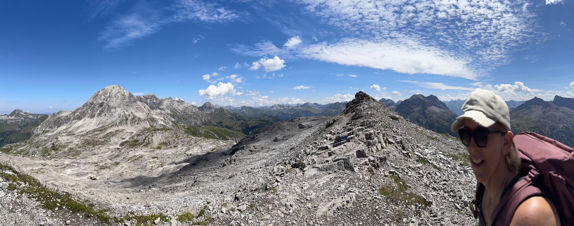
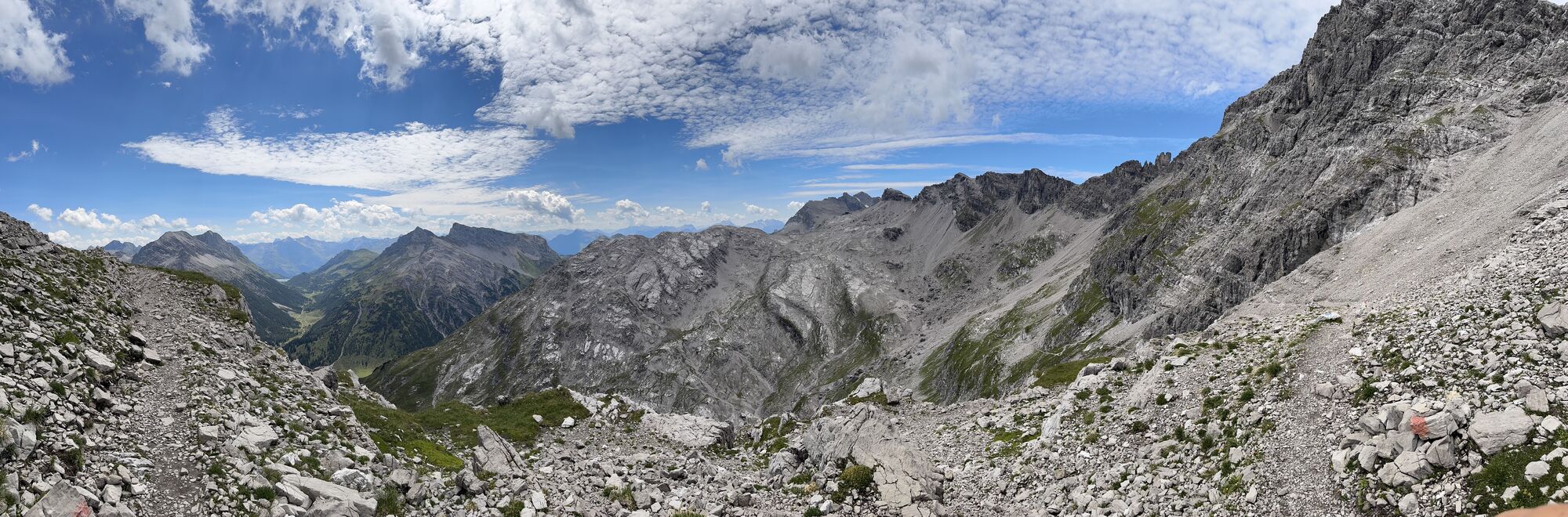

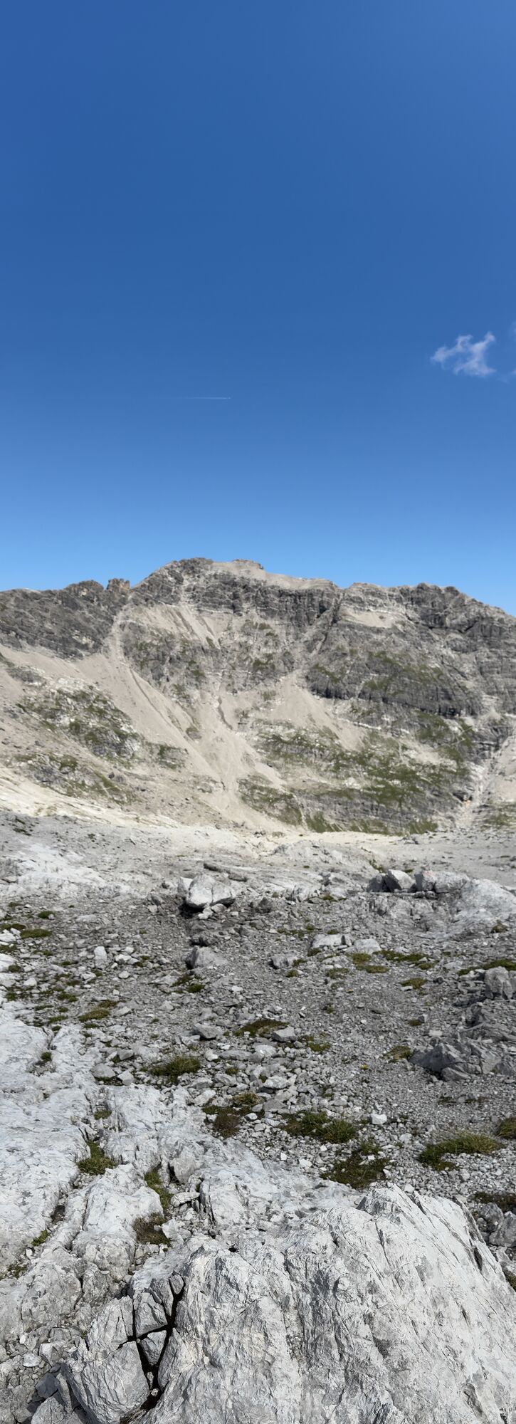

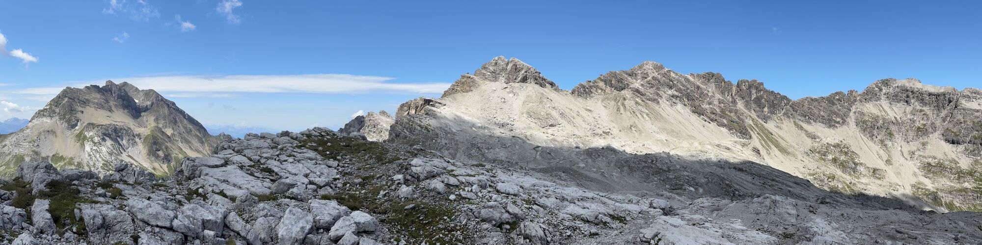
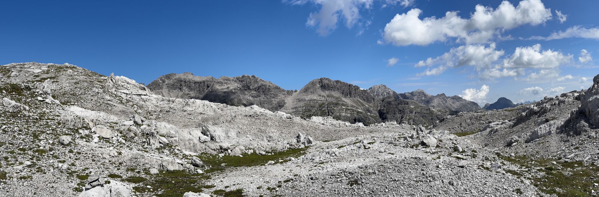


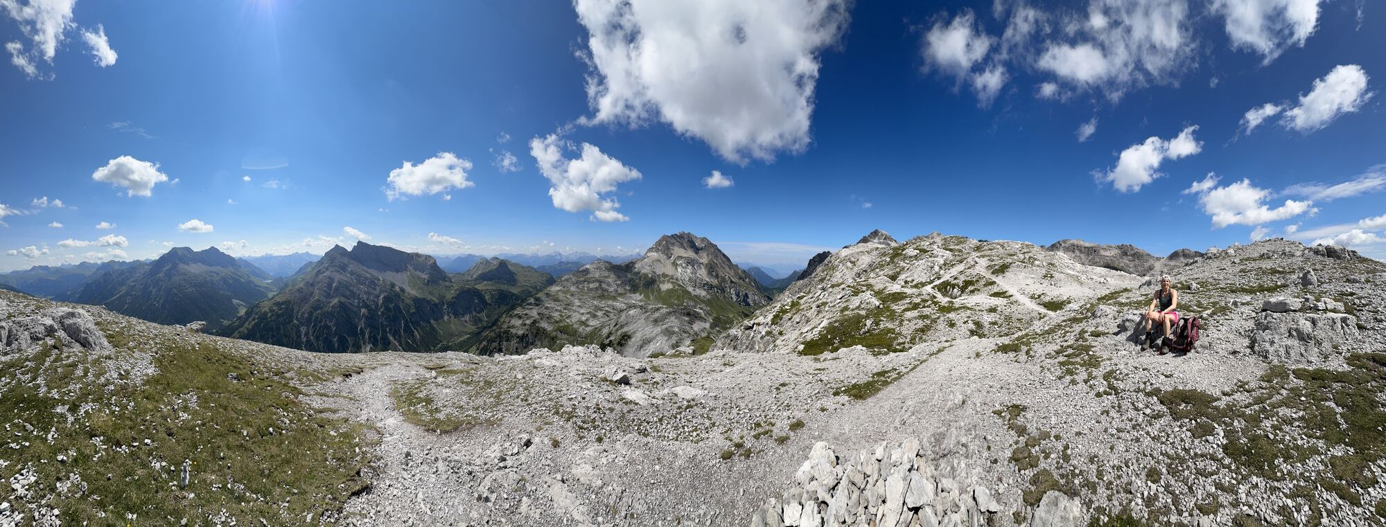
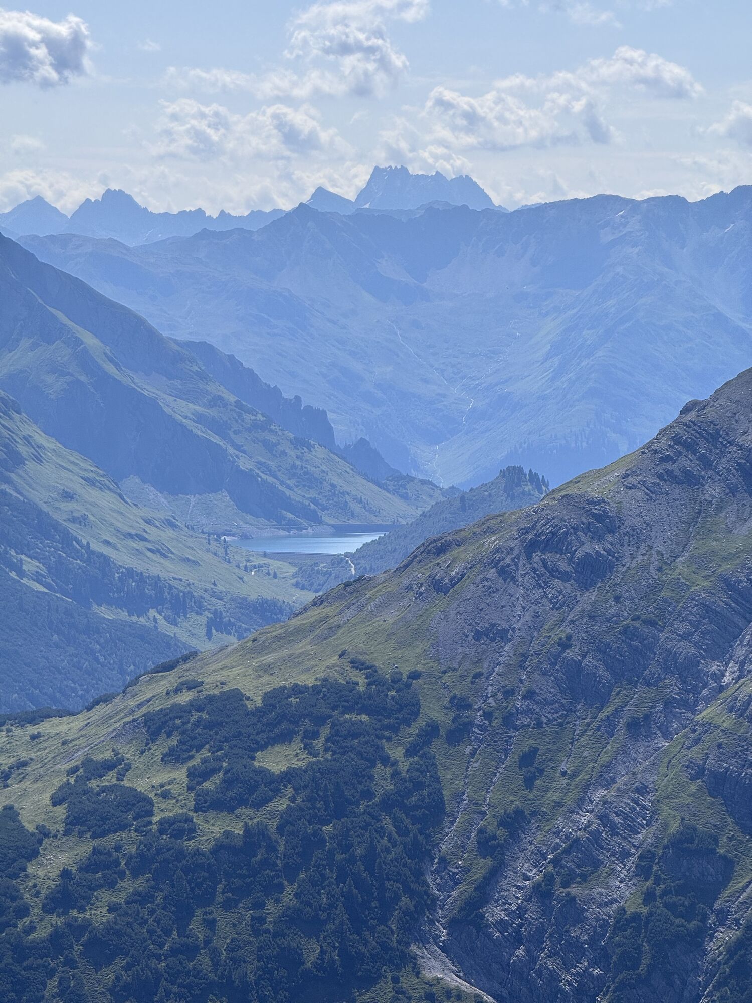
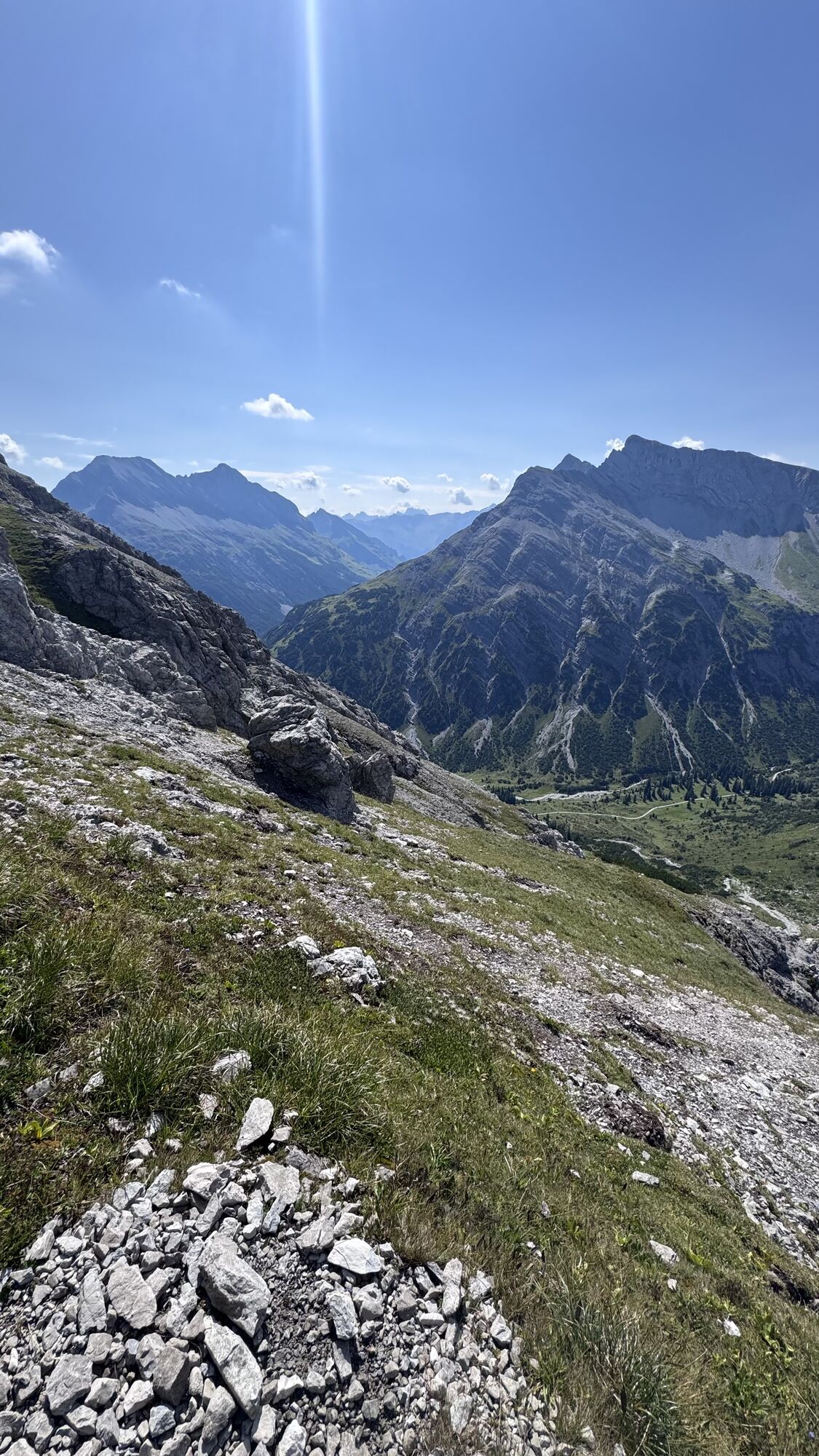
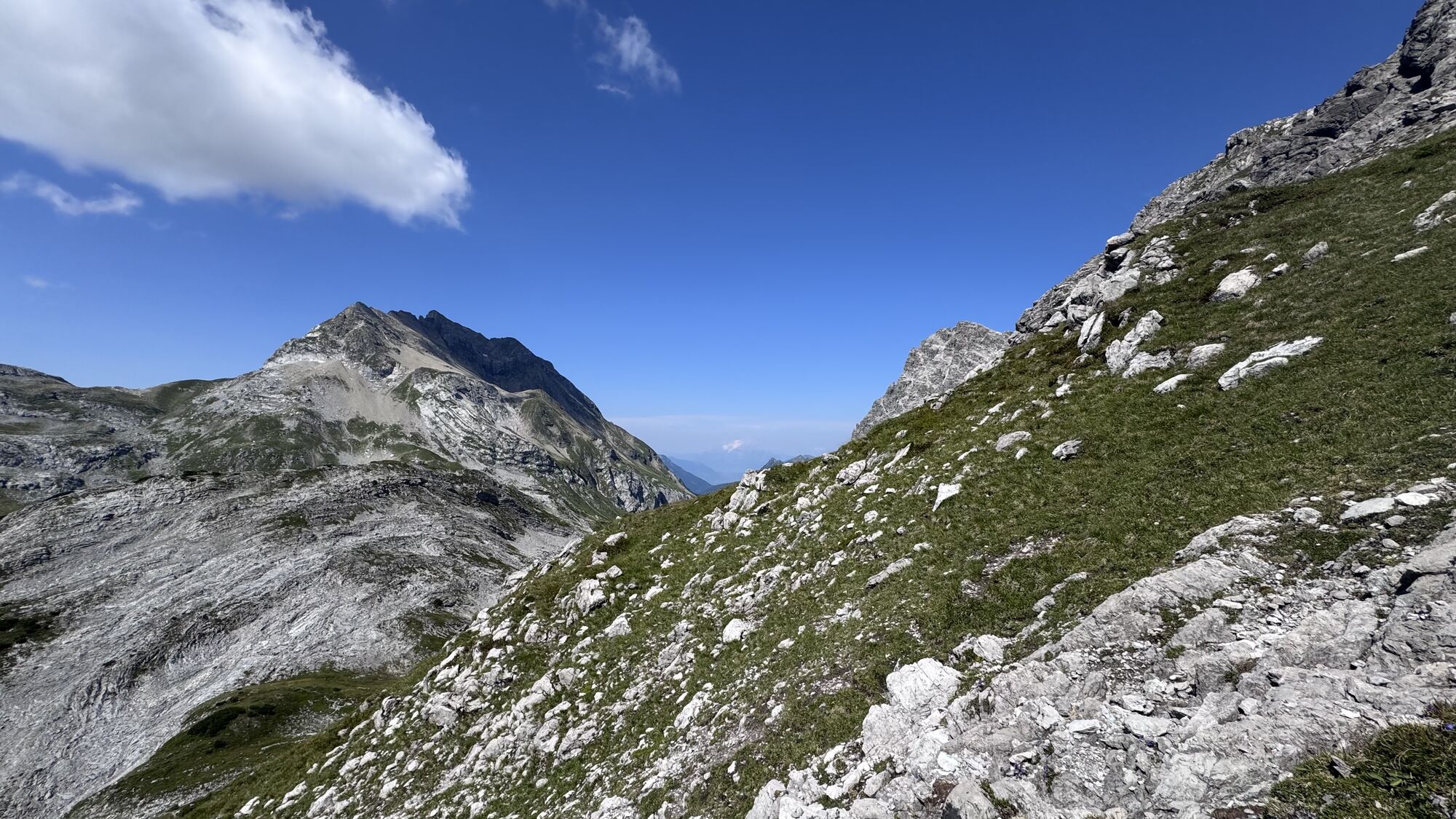
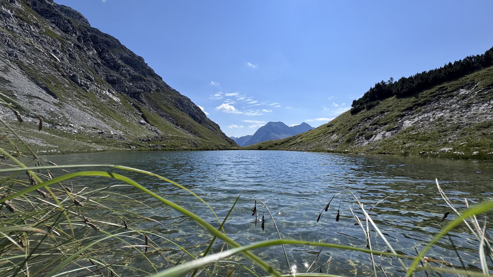


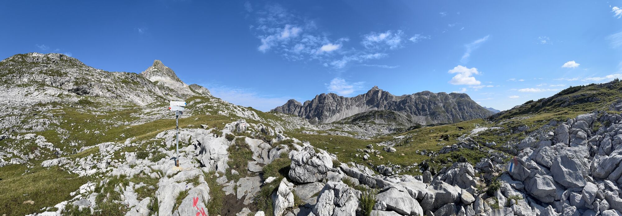
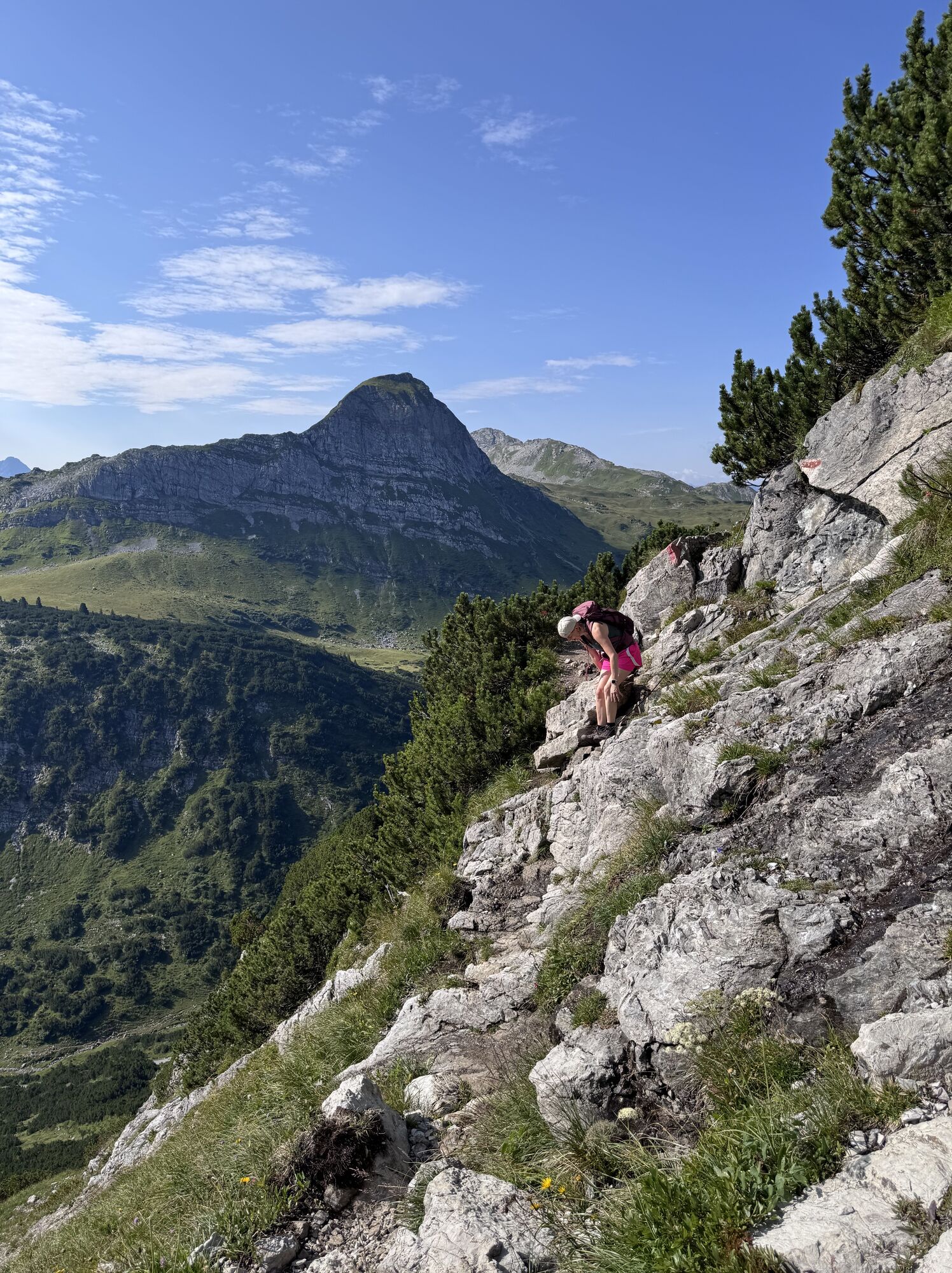
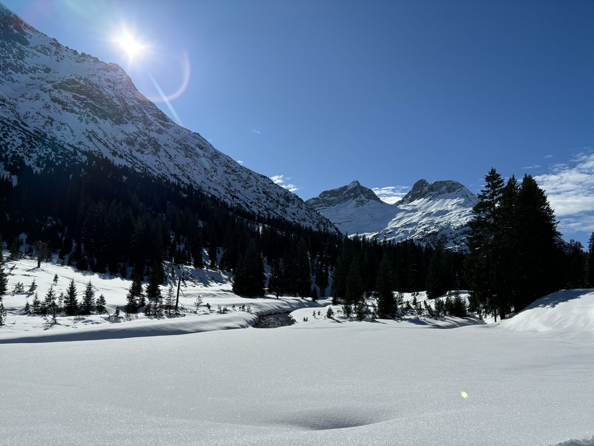
Start your hike at the Wanderstarplatz Dorfhus. Take the blue hiking bus to Formarinsee and get off at the last stop Formarinsee. Continue on foot to Alpe Formarin and then left uphill to Schönbühel. Slightly...
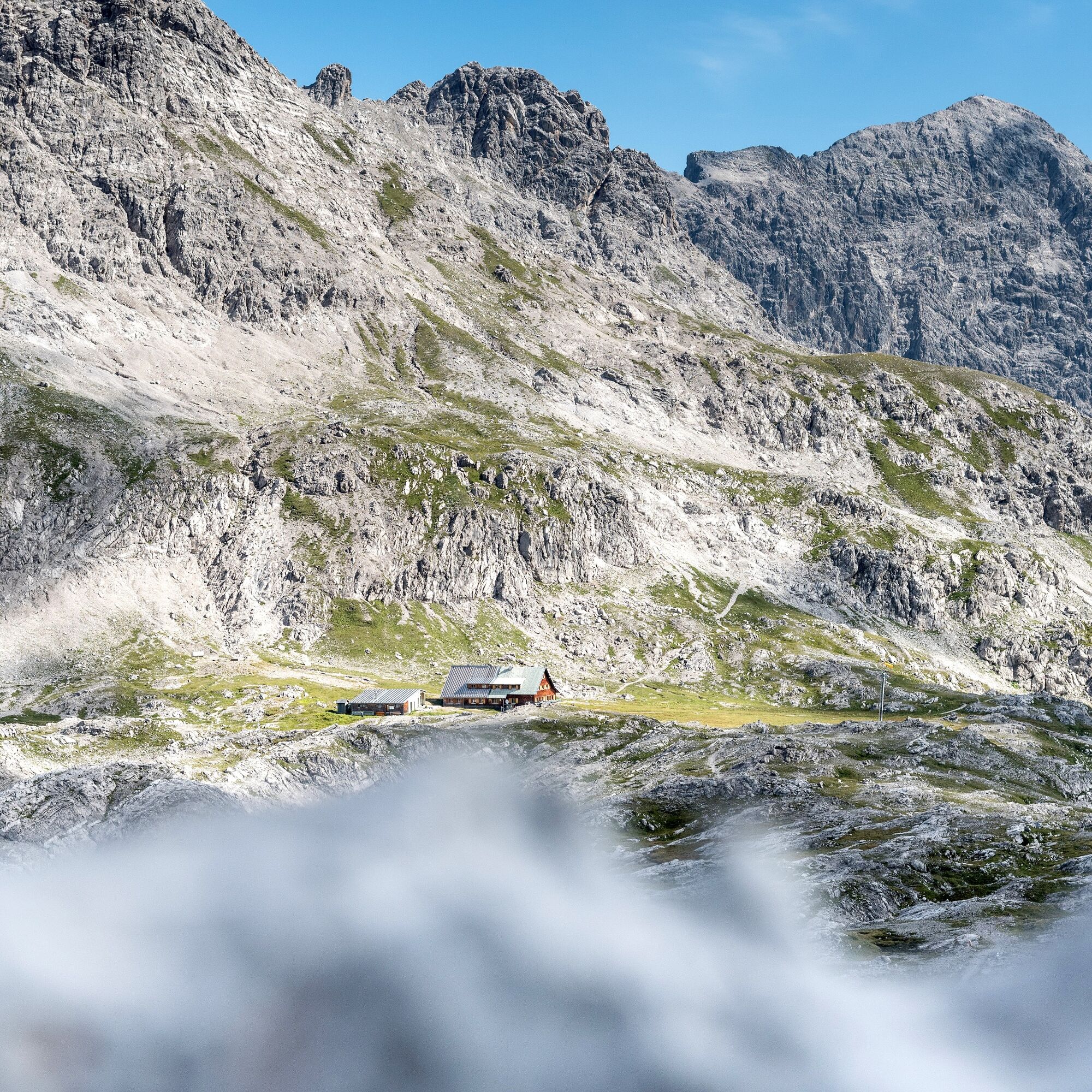
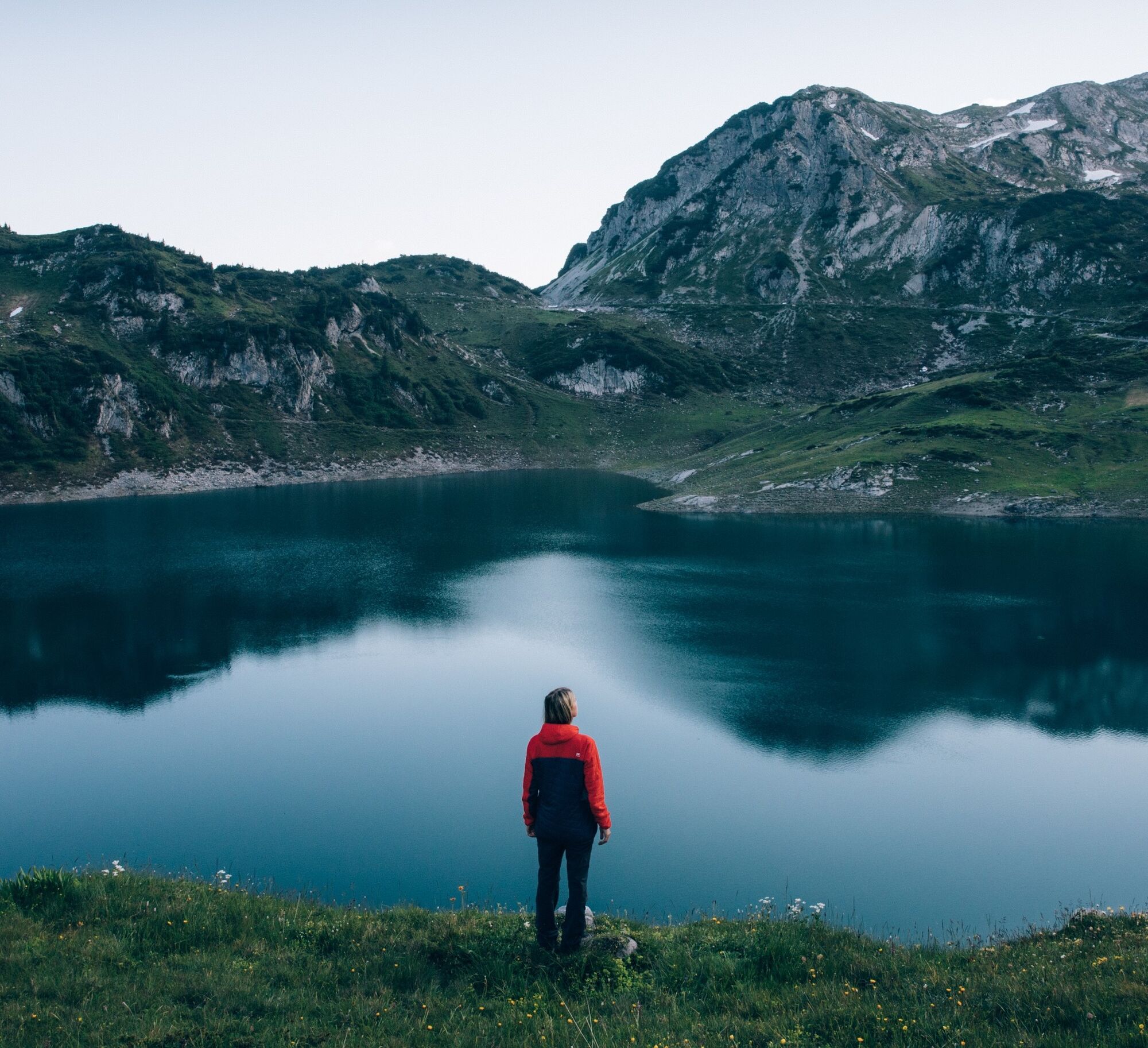
Start your hike at the Wanderstarplatz Dorfhus. Take the blue hiking bus to Formarinsee and get off at the last stop Formarinsee. Continue on foot to Alpe Formarin and then left uphill to Schönbühel. Slightly downwards you reach the upper Johannesjoch. A steep ascent leads you after a hollow uphill to the summit of eastern Johanneskopf. The path continues to the Göppinger hut where you arrive after an extensive rest the steep serpentines downhill at the Upper Älpele. Continue downhill to Gasthaus Älpele where you can once again have a culinary break. You can easily take the hiking bus back to Lech.


Good footwear (ankle-high, profile sole), rain cover, drink, snack, Lech Card and bus timetable.
140 Alpine emergencies throughout Austria
144 Alpine Emergencies Vorarlberg
112 Euro emergency call (works with any mobile phone/network)
From Switzerland: Via the A13 and the border crossing Feldkirch, Hohenems or Lustenau onto the A14 to Bludenz. Continue on the S16 to the Lech Zürs am Arlberg exit. Follow the B197 to Alpe Rauz, then turn left onto the B198 through the Flexengalerie and over the Flexenpass to Lech Zürs am Arlberg.
From Austria: Via the Inntal motorway A12 and then via the S16 to the St. Anton am Arlberg exit (Arlbergpass). Follow the B197 first through St. Anton, then through St. Christoph and over the Arlberg Pass to Alpe Rauz. Turn right here onto the B198 through the Flexengalerie and over the Flexenpass to Lech Zürs am Arlberg.
You can either park your vehicle directly at your host’s property or use the Anger underground parking garage. The garage is located right in the town center, across from the Dorfhus Lech. The garage is open 24 hours a day. The service station is open from 8:00 AM to 5:00 PM. Cash payments are not accepted.
T3
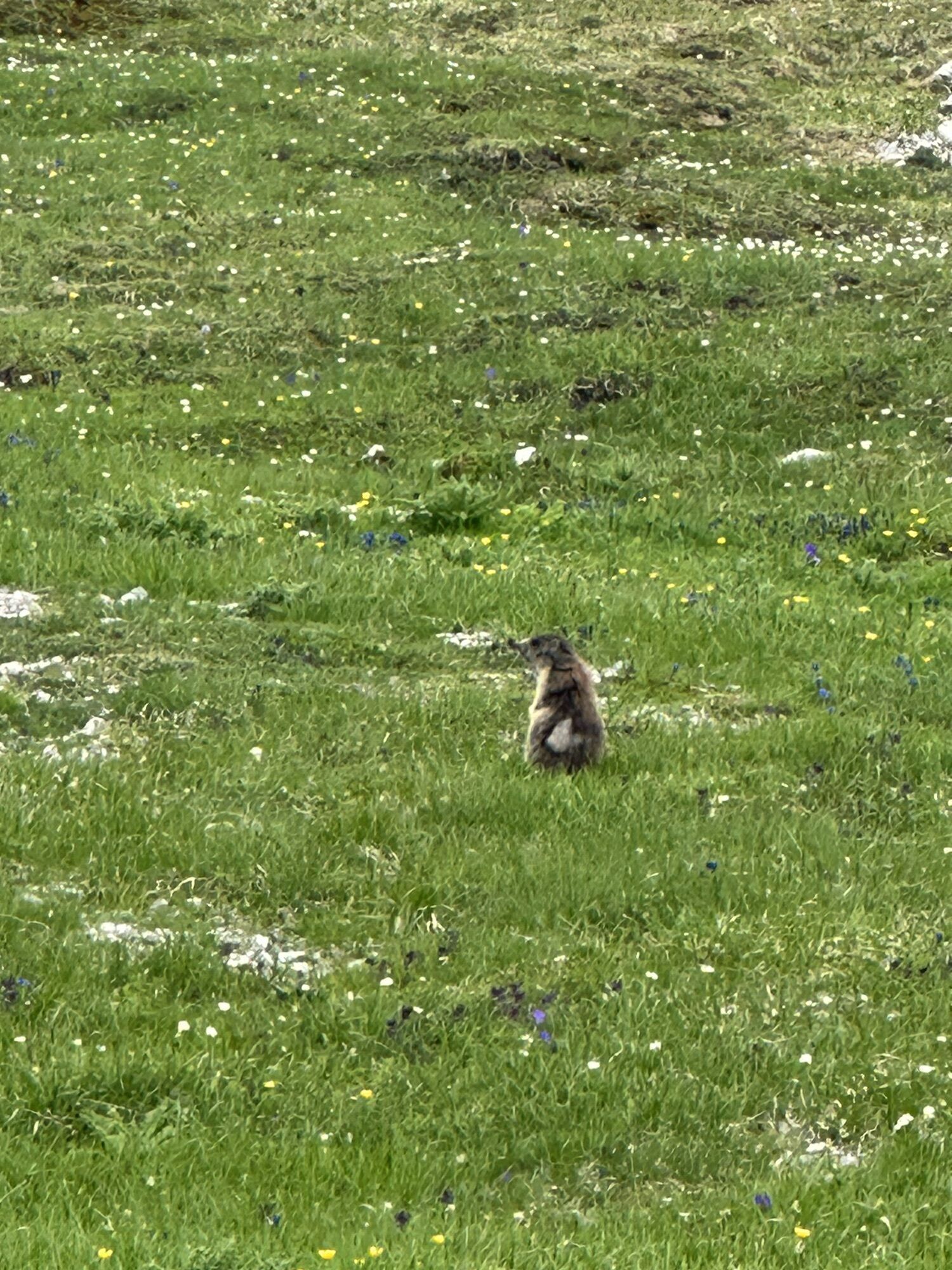
Sights: Göppinger Hütte climbing garden - just behind the hut you will find the natural climbing garden for sports climbers with around 10 different routes. With a bit of luck, you might spot some ibex from the path.
Refreshment stops: Restaurant Älpele, Göppingen Hut and restaurants in Zug and Lech.

 Infórmate
Siempre en directo con más de 9.500 webcams. bergfex Como usuario Pro, ahora puede ver las webcams correspondientes a muchos tours en la app de tours desde. Esto le permite ver las condiciones actuales directamente.
Infórmate
Siempre en directo con más de 9.500 webcams. bergfex Como usuario Pro, ahora puede ver las webcams correspondientes a muchos tours en la app de tours desde. Esto le permite ver las condiciones actuales directamente.
Rutas populares en los alrededores
-
4,4
Recorrido circular por el valle Bärgunttal
medioSenderismo 4,75 km -
4,7
Widderstein Runde von Baad
medioSenderismo 15,8 km -
4,7
Por la mina histórica y Fritzensee hasta Rellseck
medioSenderismo 7,25 km -
4,6
Kristberg - Wasserstubental - Silbertal
luzSenderismo 13,8 km -
4,3
Ruta circular por el Derratal
medioSenderismo 8,11 km -
4,8
Ruta circular por el Gemsteltal
luzSenderismo 5,53 km -
3,3
Dalaas - Freiburgerhütte
medioSenderismo 8,40 km -
4,0
Stuben - Stubner See - Kaltenberghütte - Stuben
medioSenderismo 9,90 km -
4,9
Braunarlspitze
pesadoSenderismo 16,6 km -
4,5
Muttersberg - Fraßenhütte - Fraßen - Tiefenseesattel Nüziders, Österreich
medioSenderismo 10,1 km
Senderismo y rastreo


No se pierda las ofertas y la inspiración para sus próximas vacaciones
Su dirección de correo electrónico se ha añadido a la lista de correo.





