



3 Valleys Trail

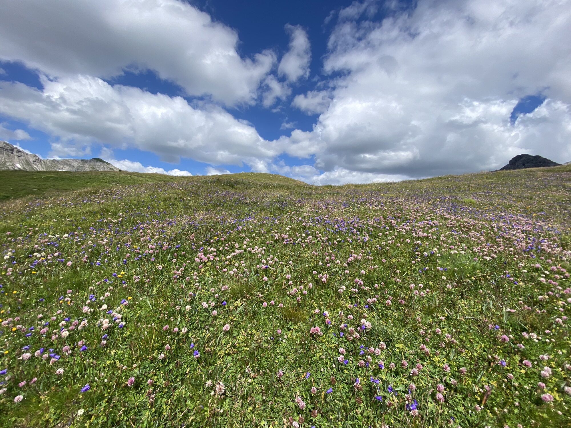
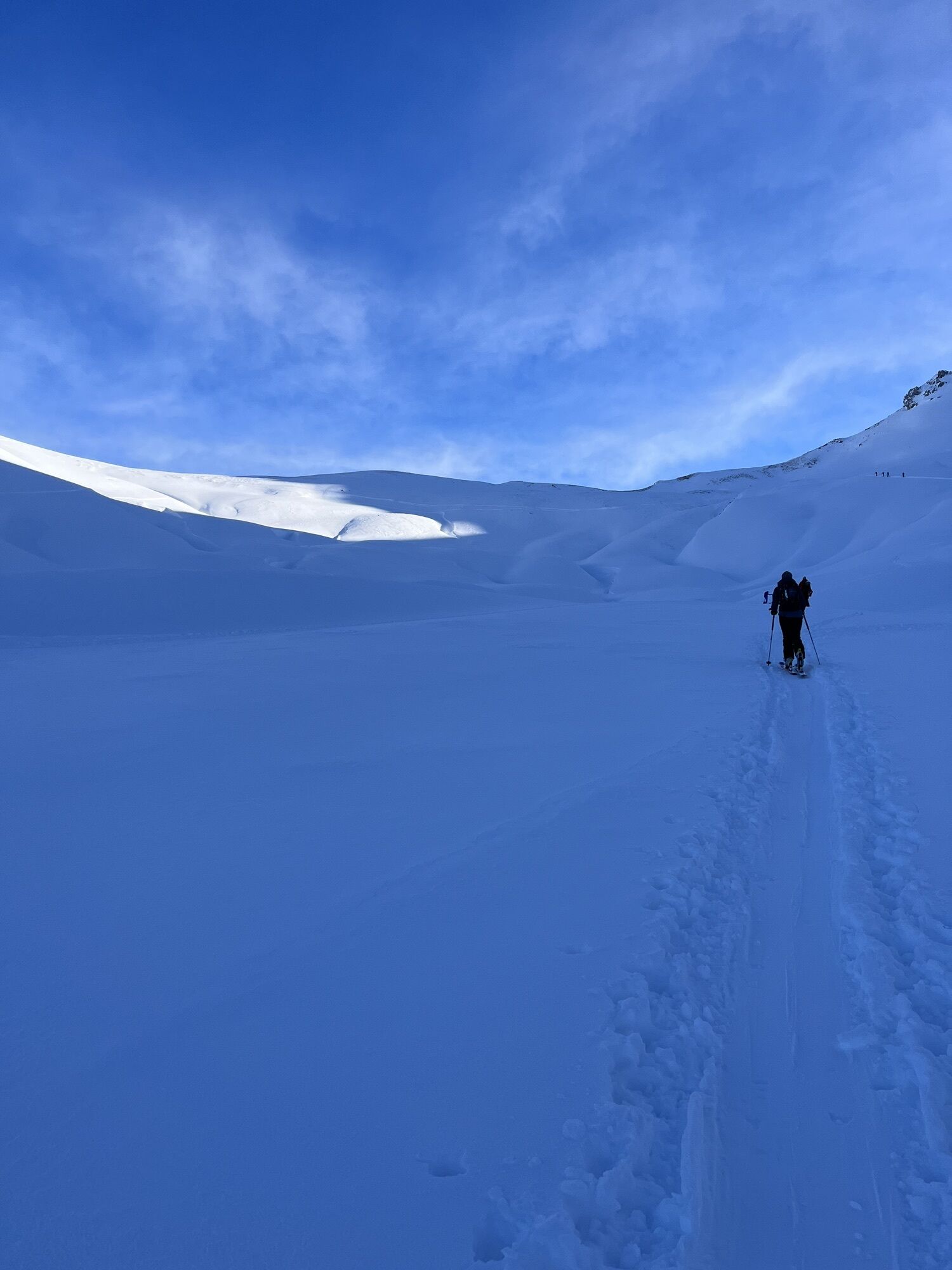
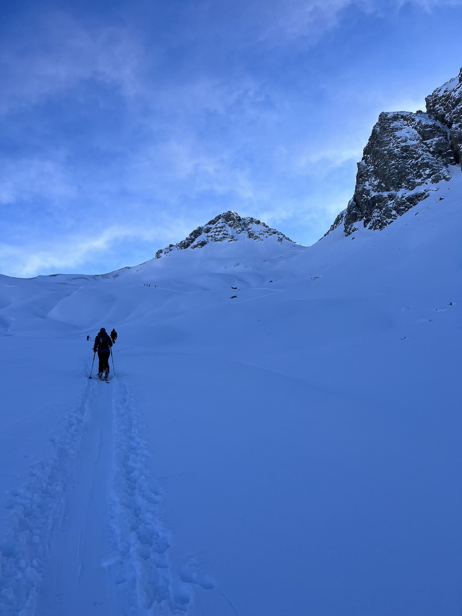
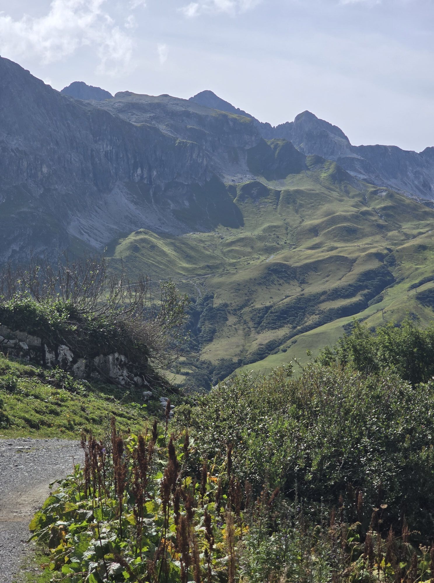
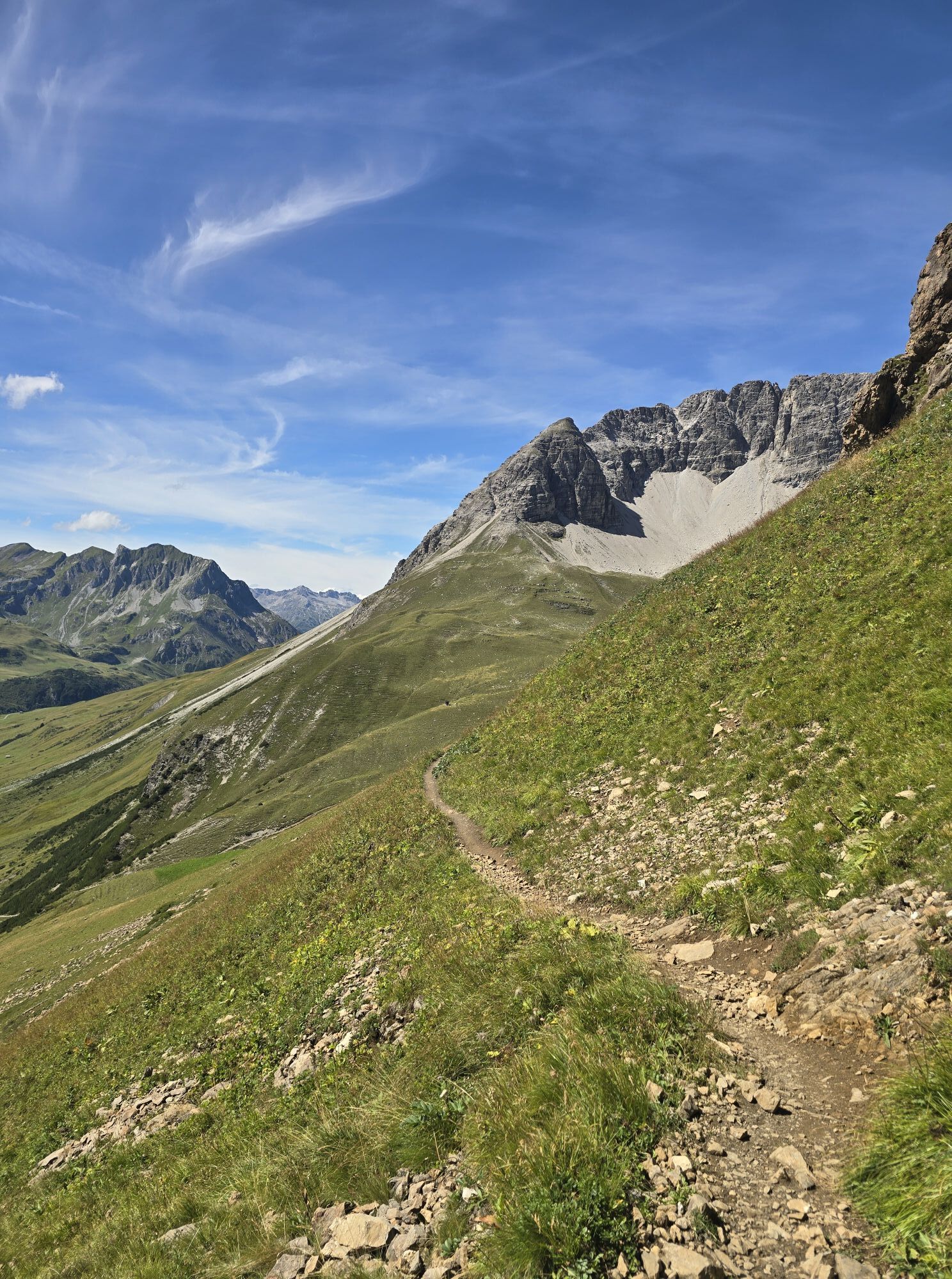
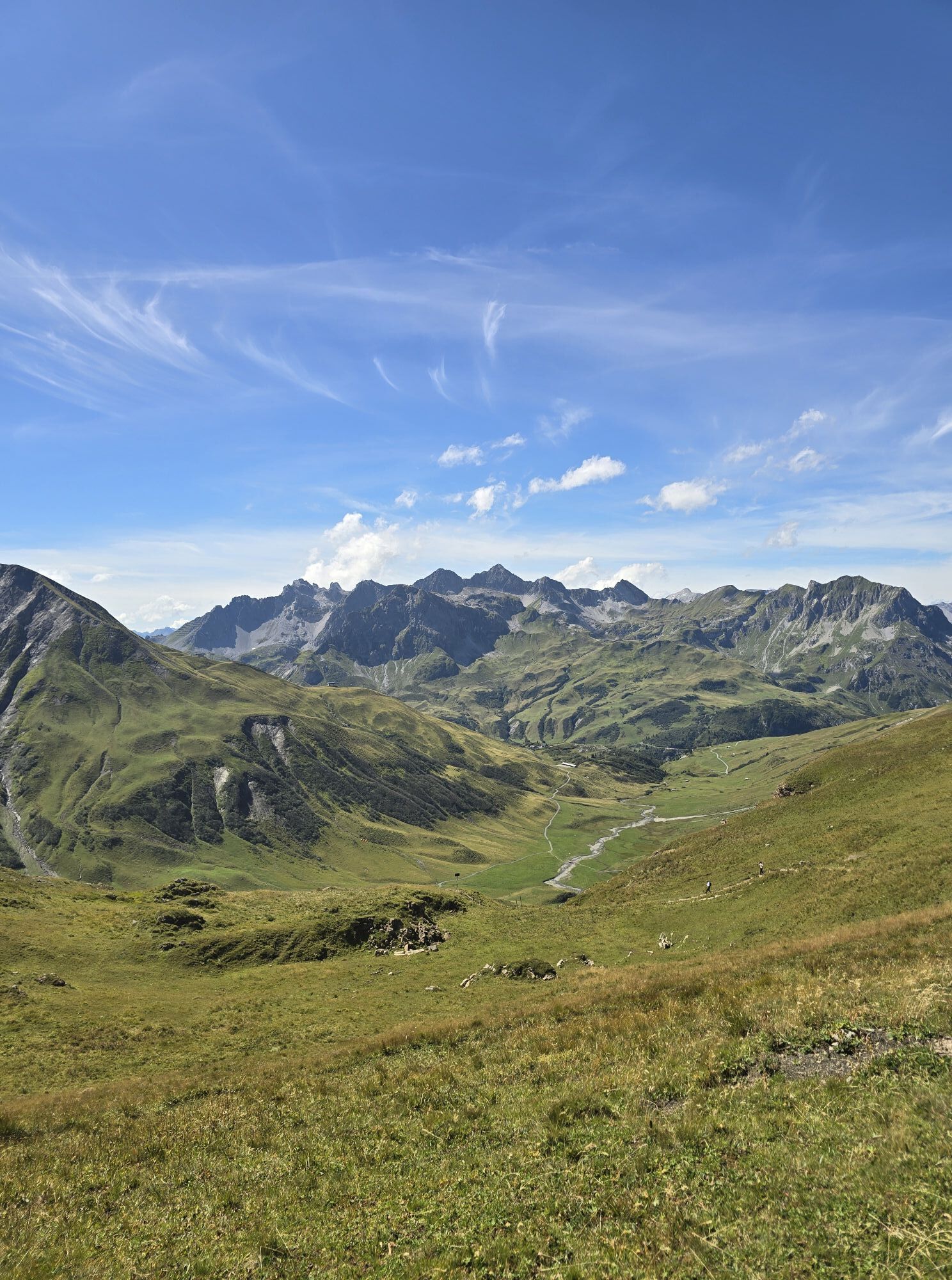
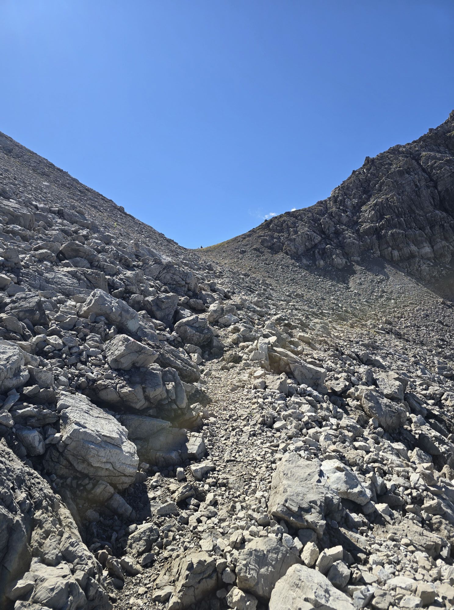
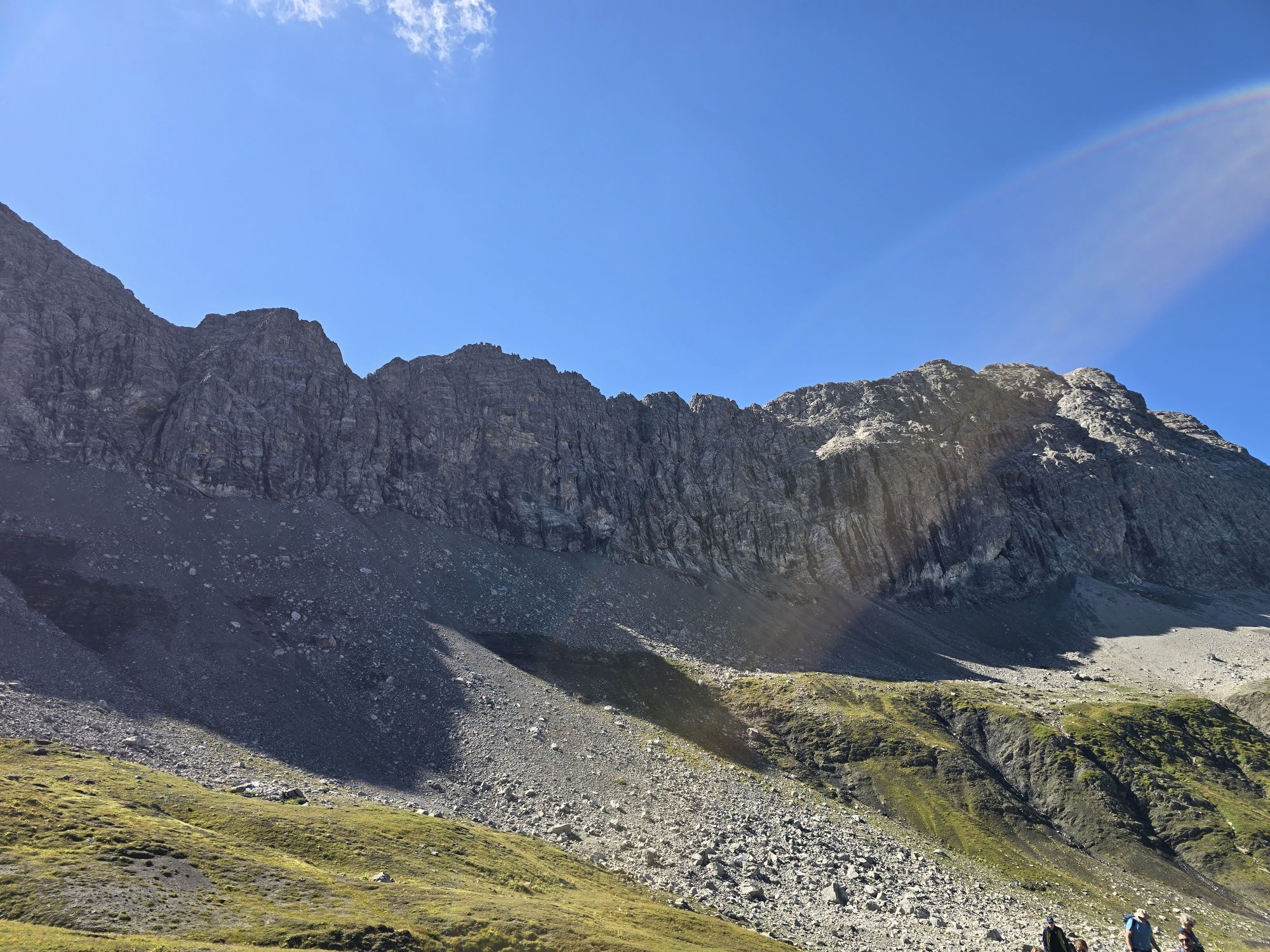
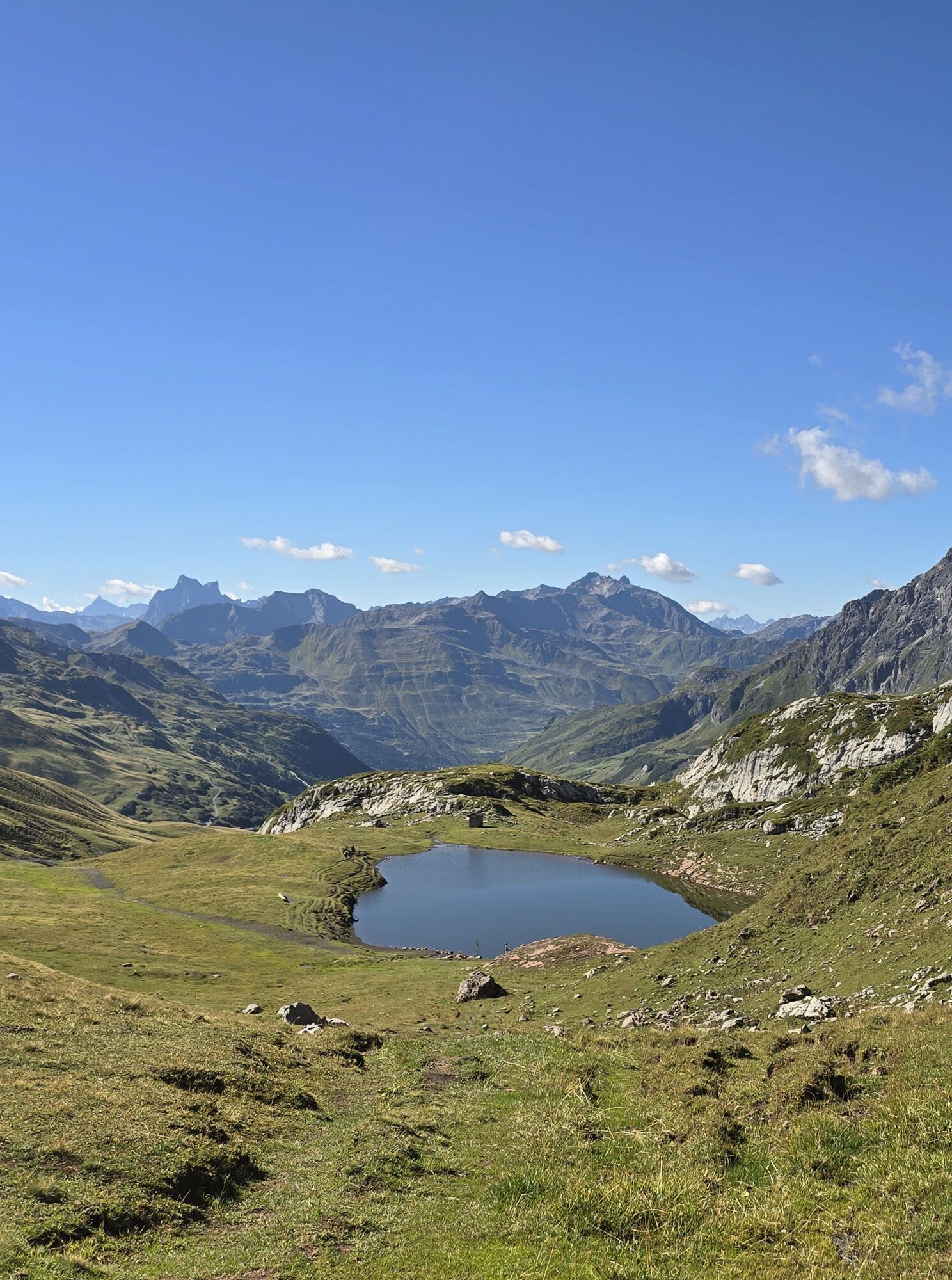
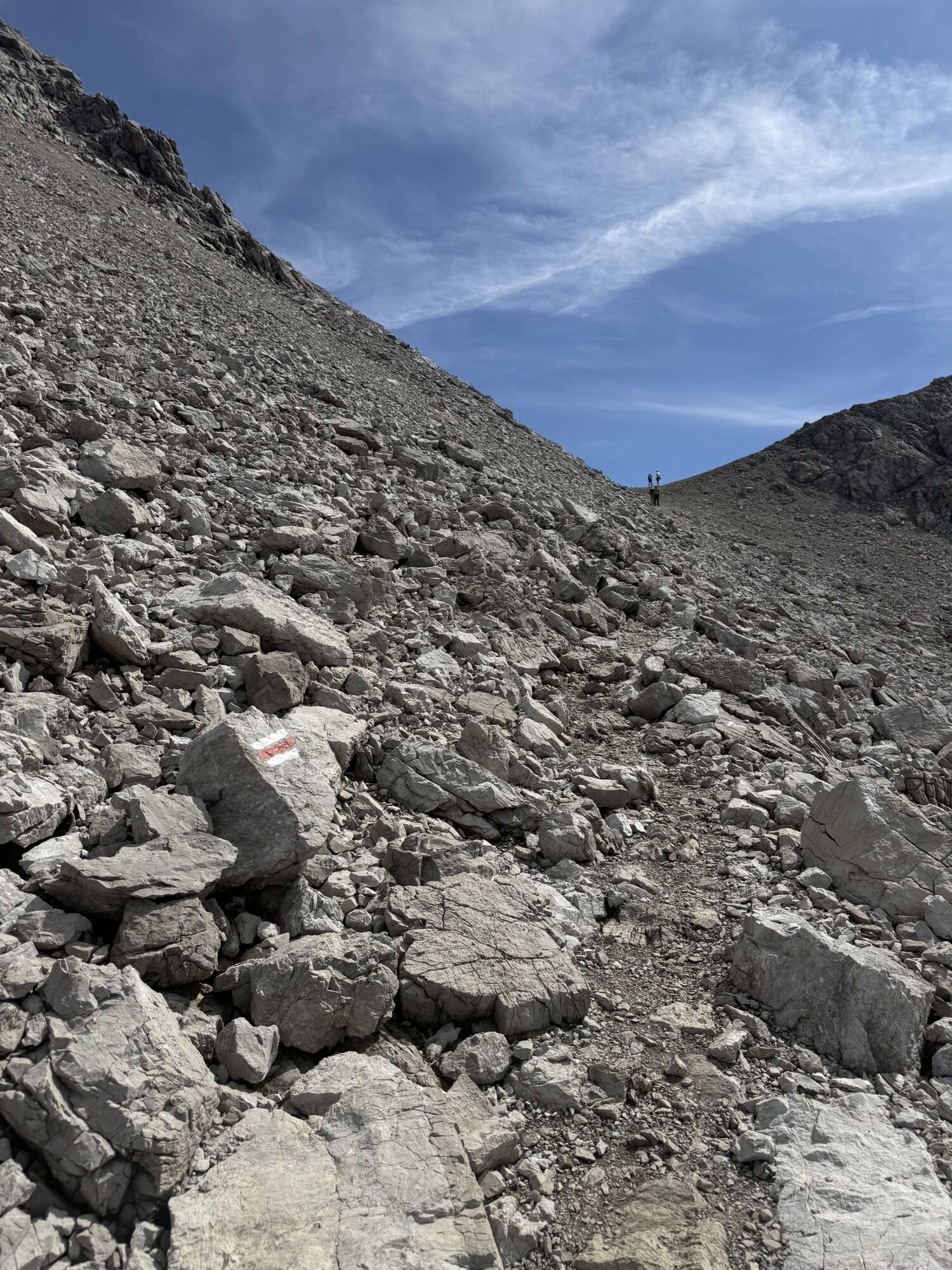
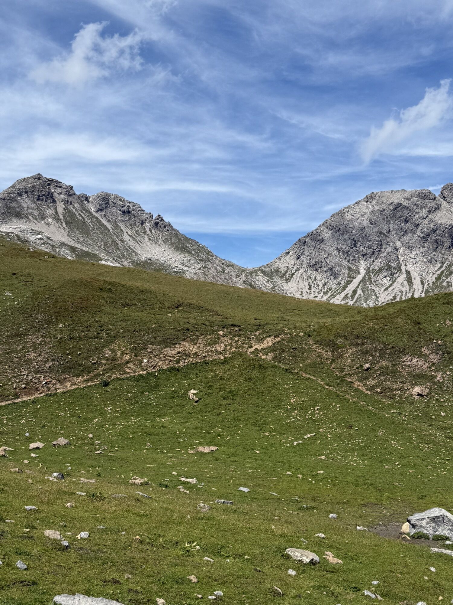
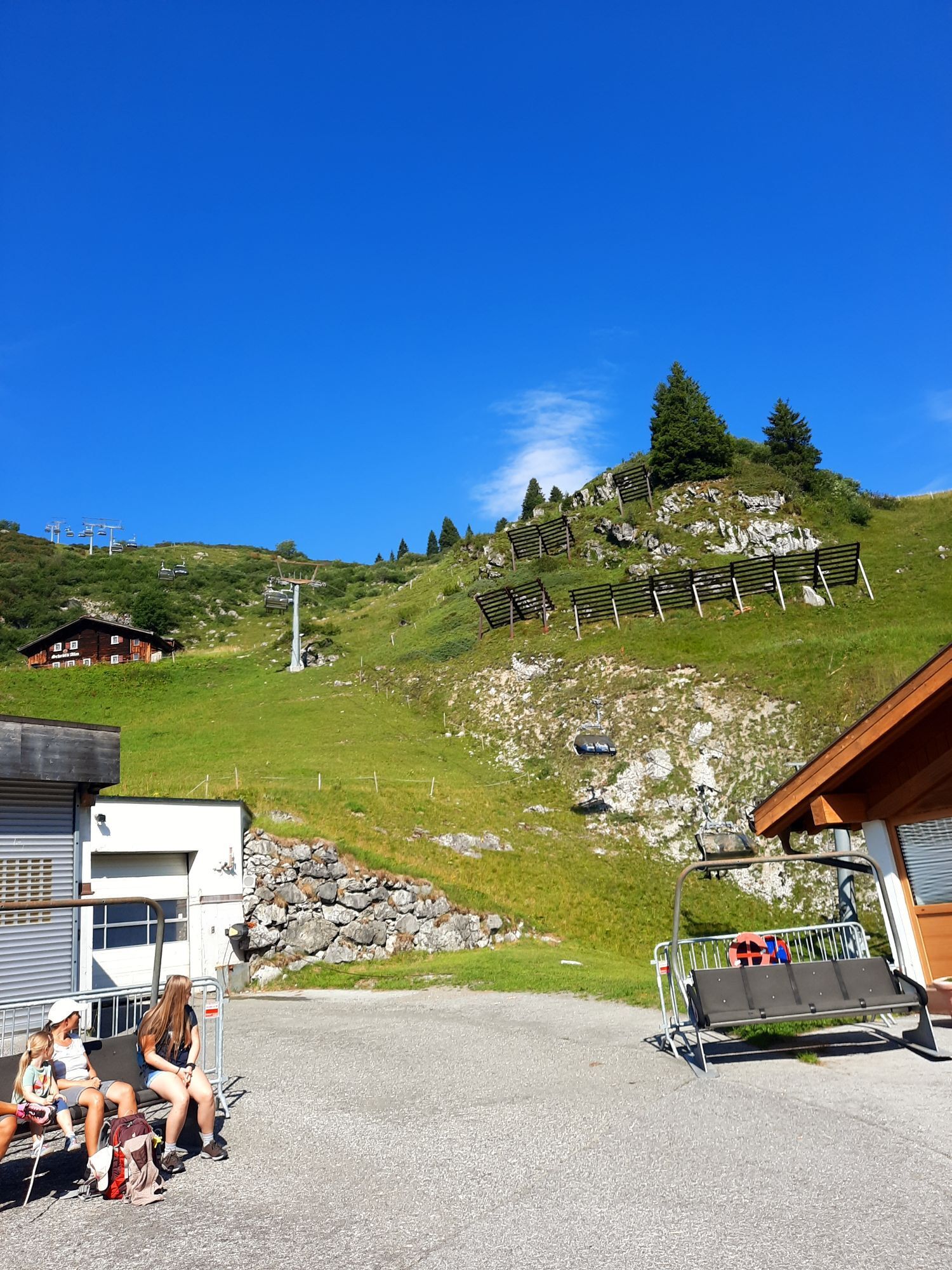
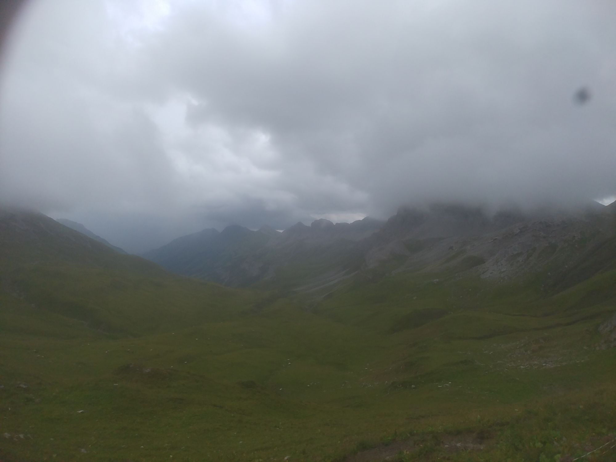
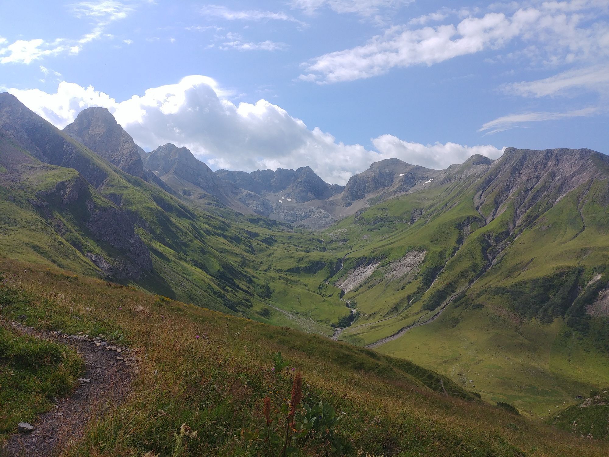


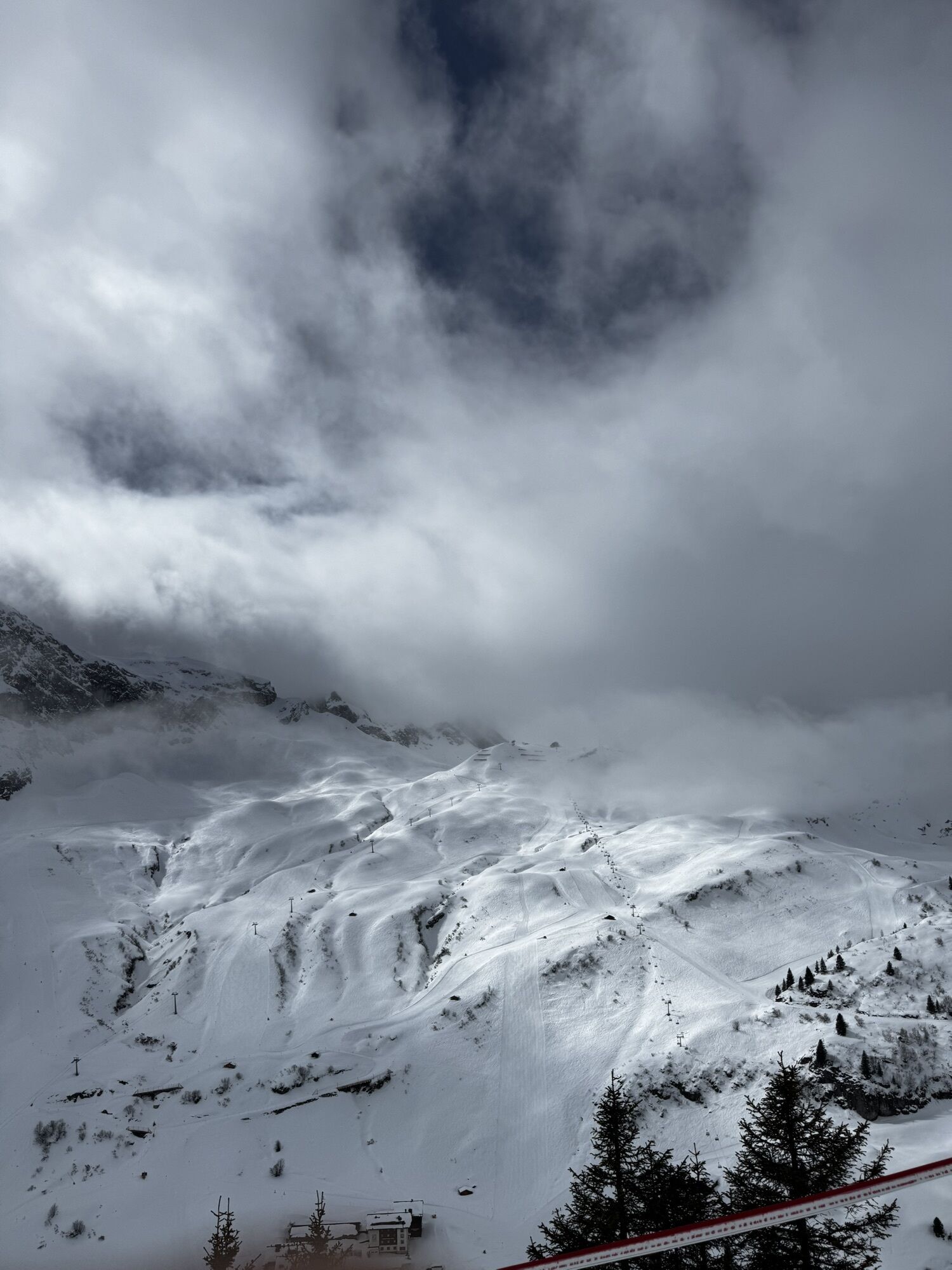
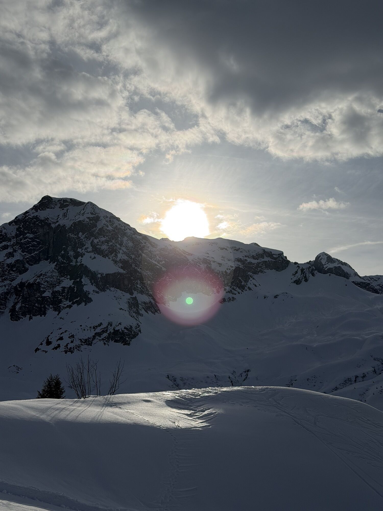

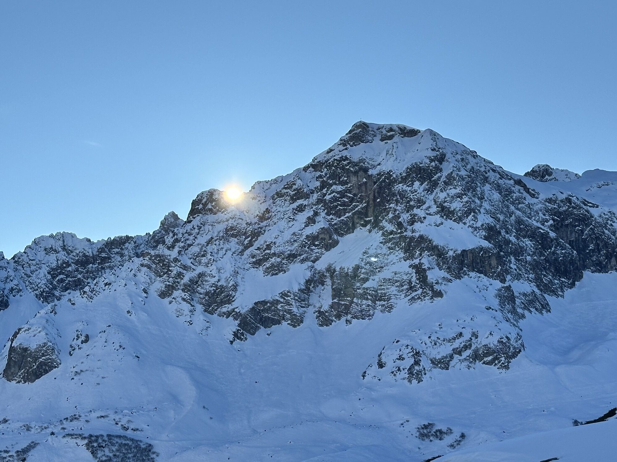
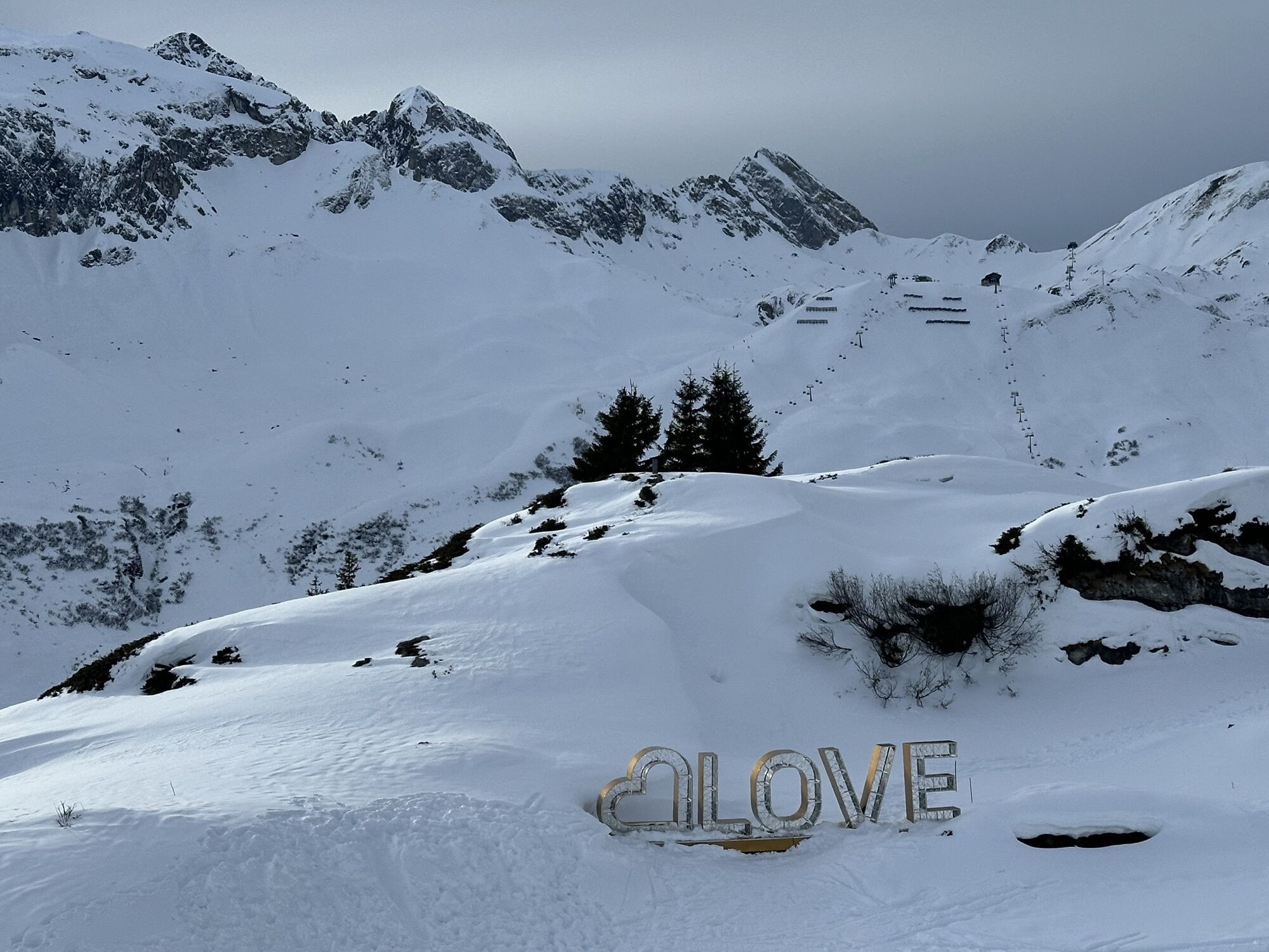
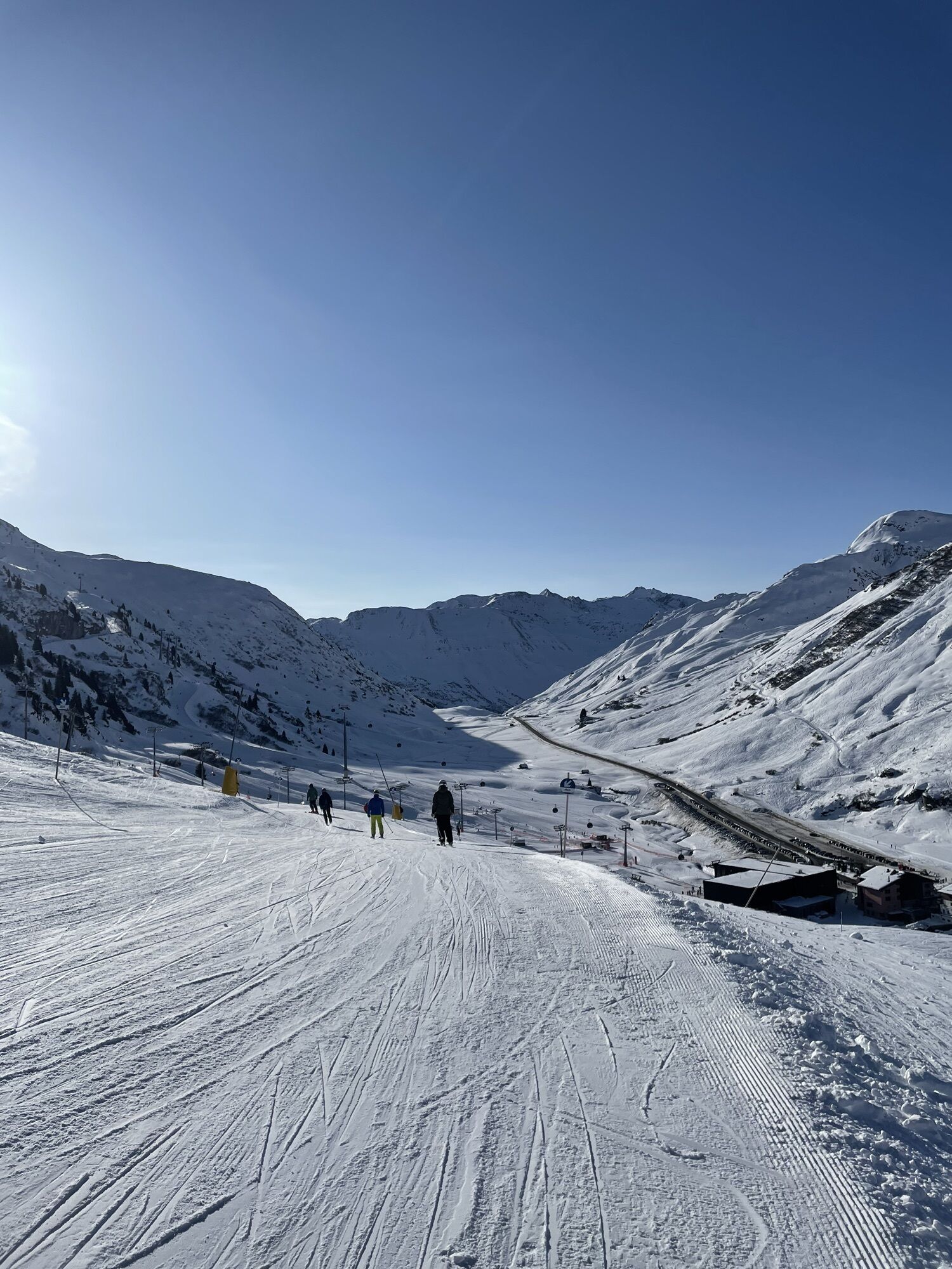

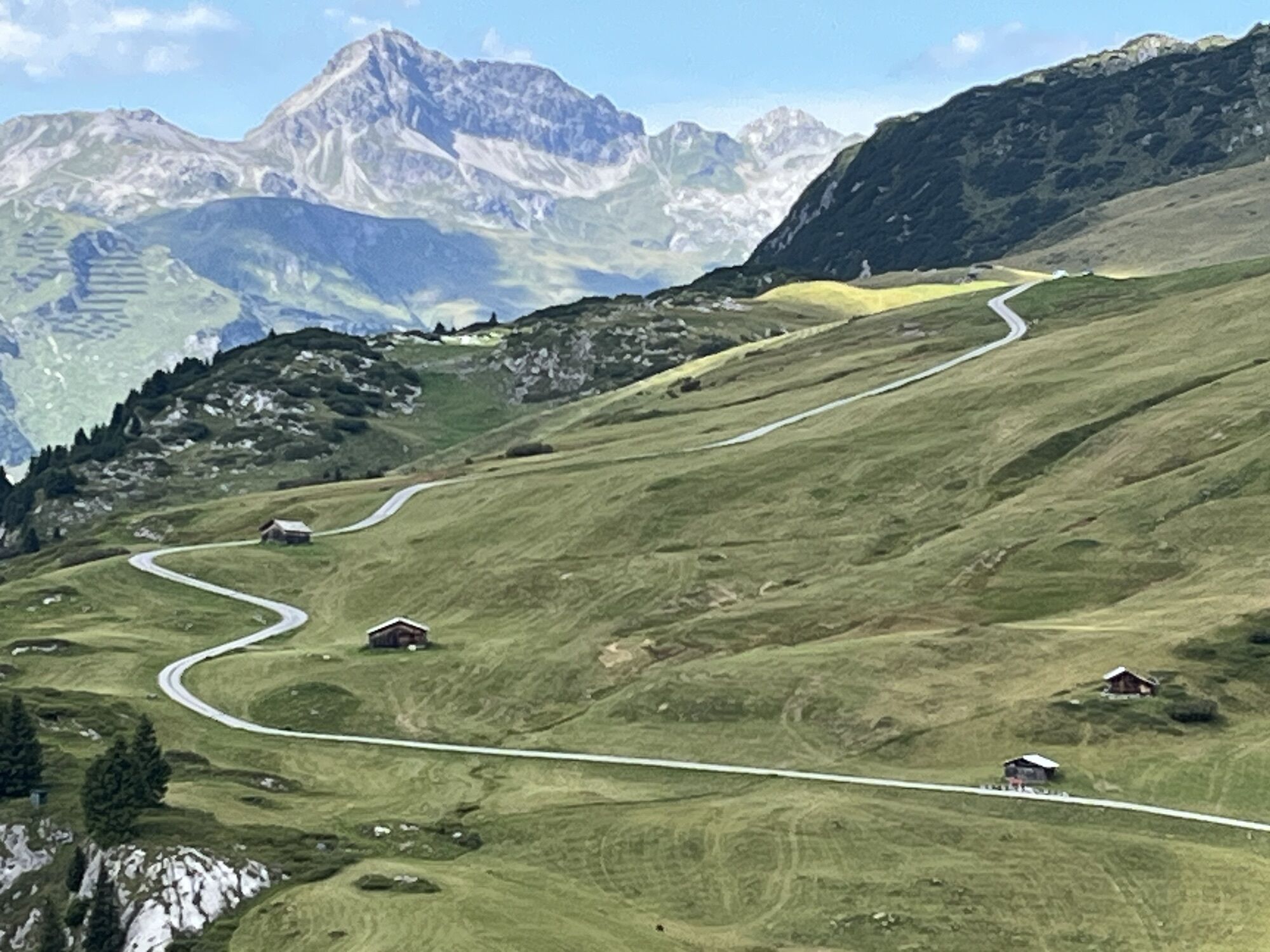
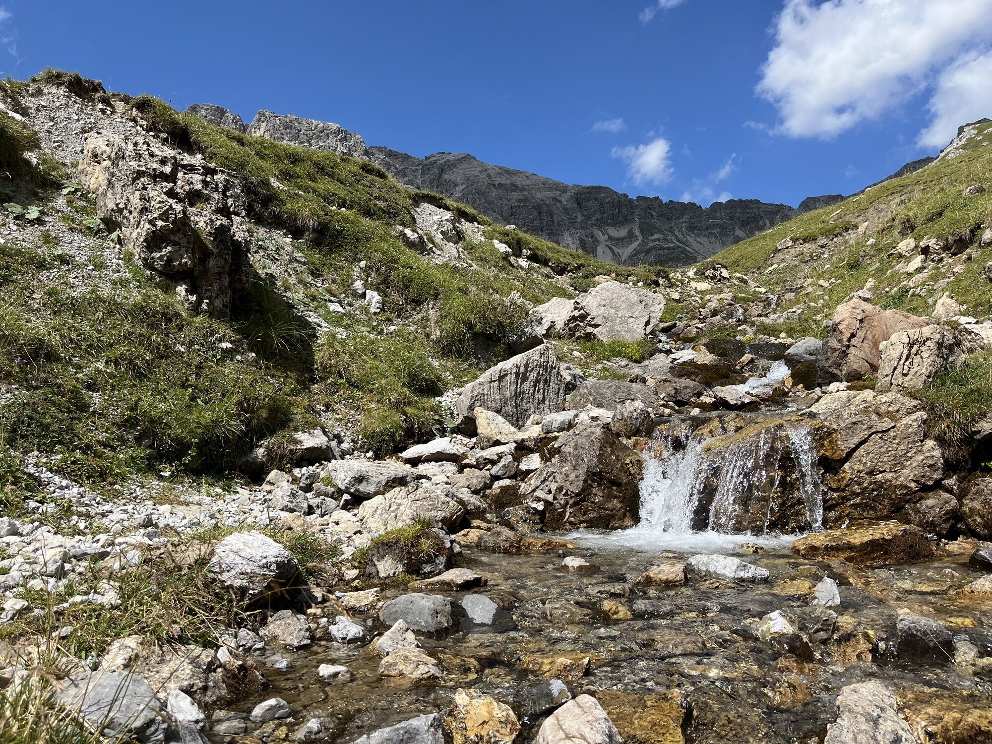
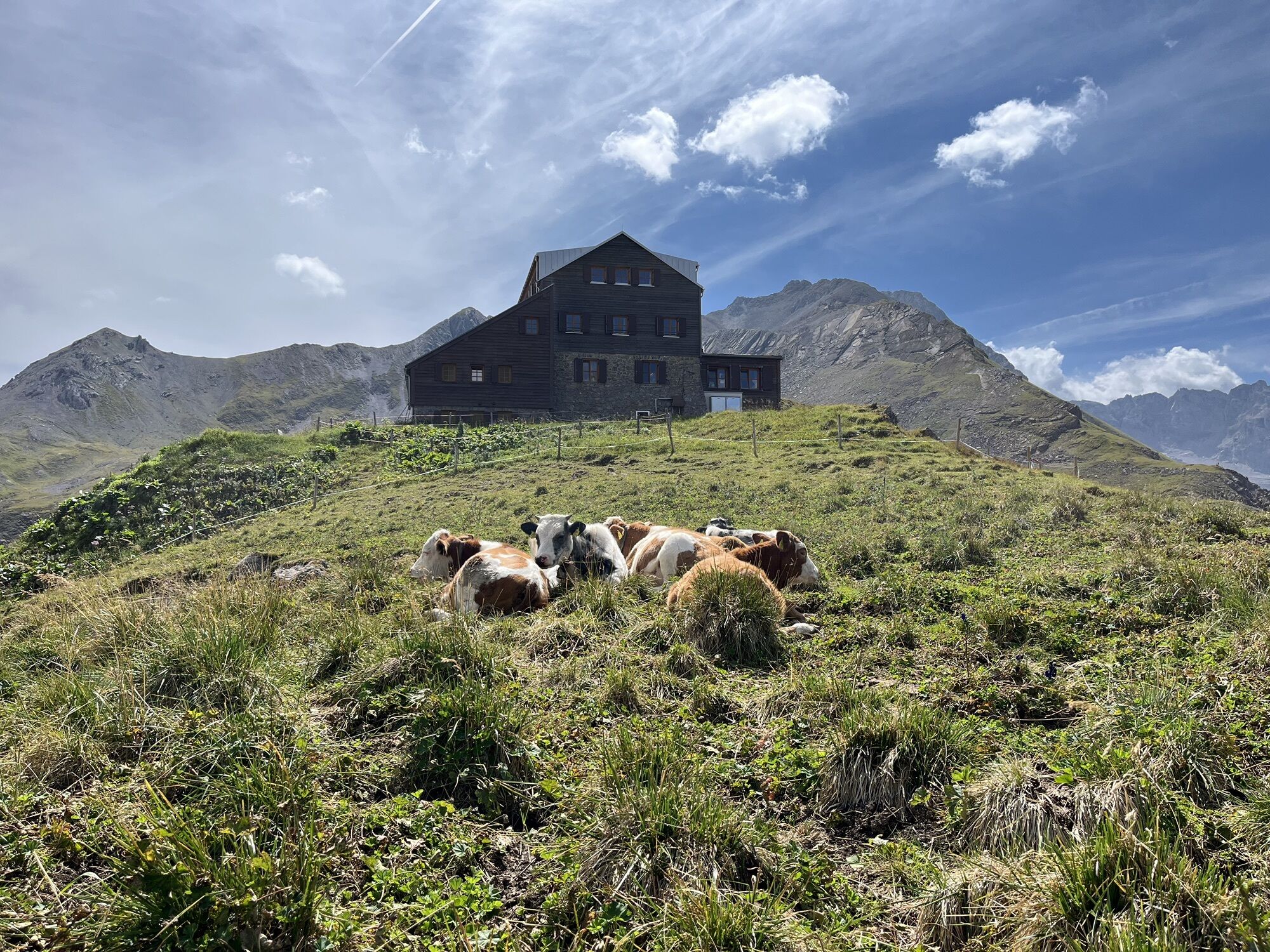
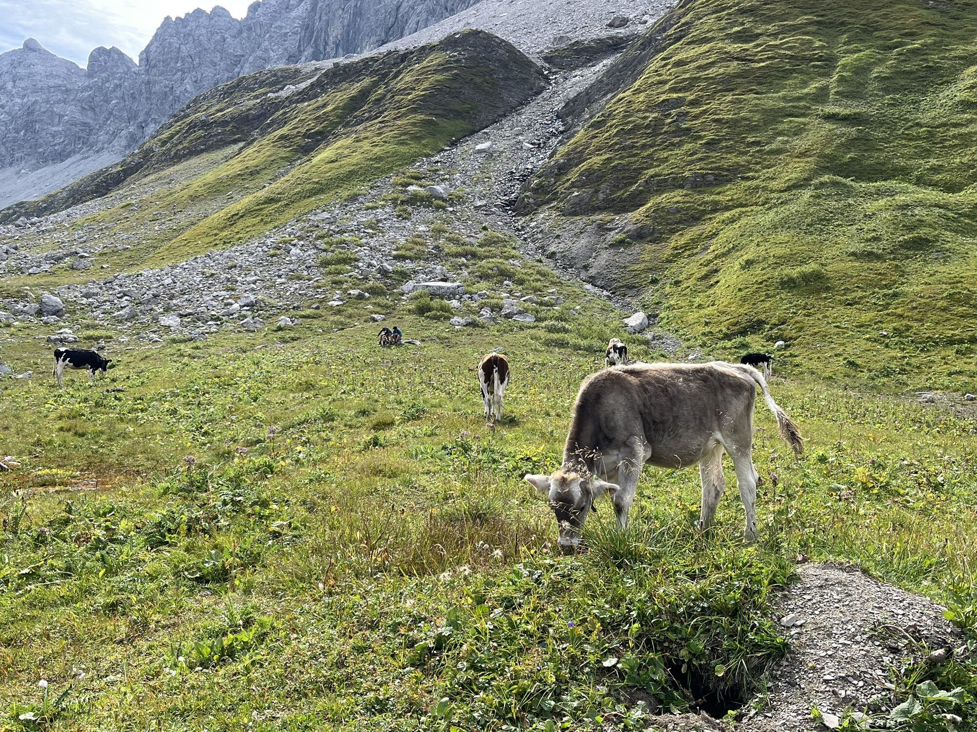
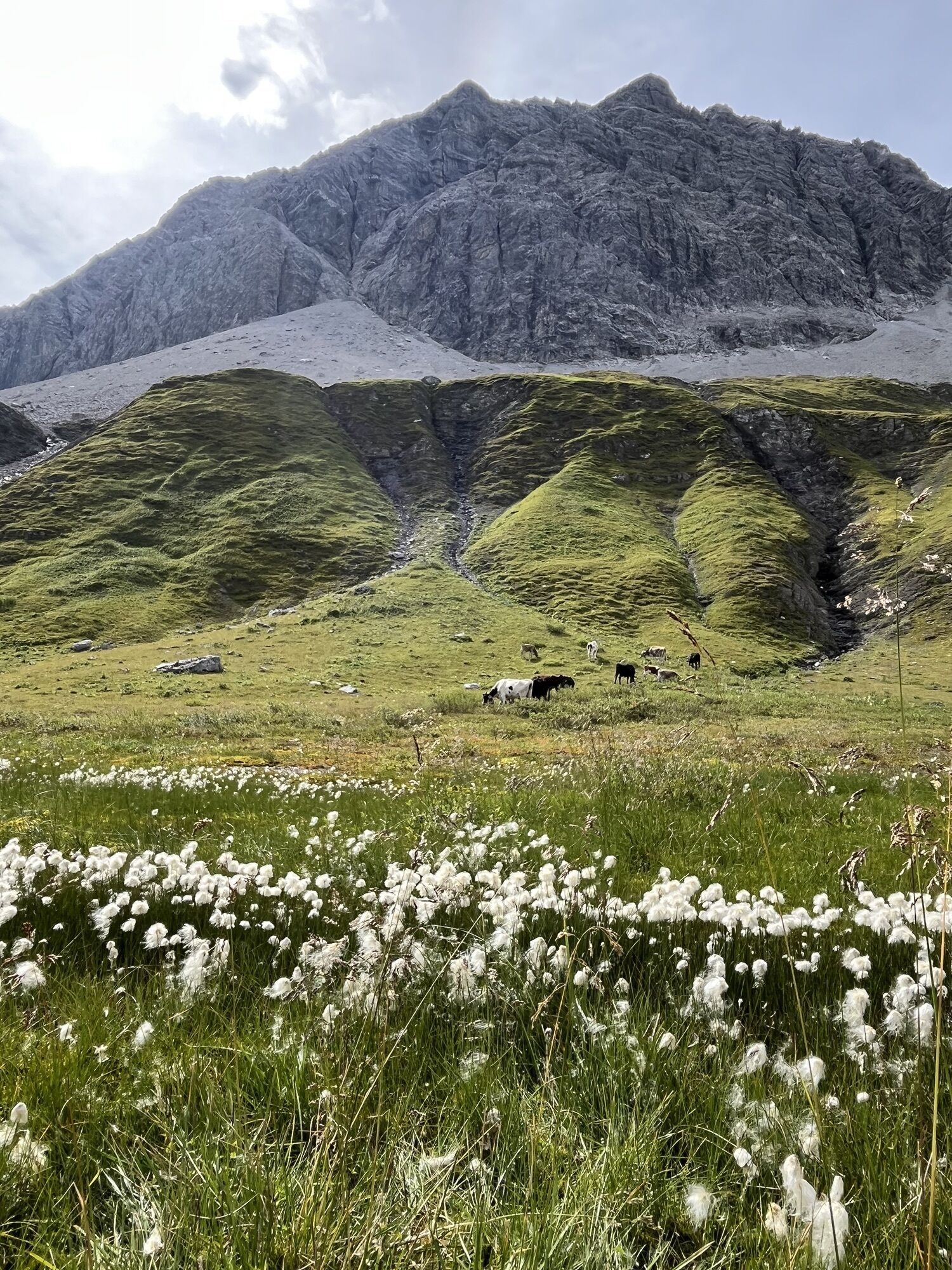
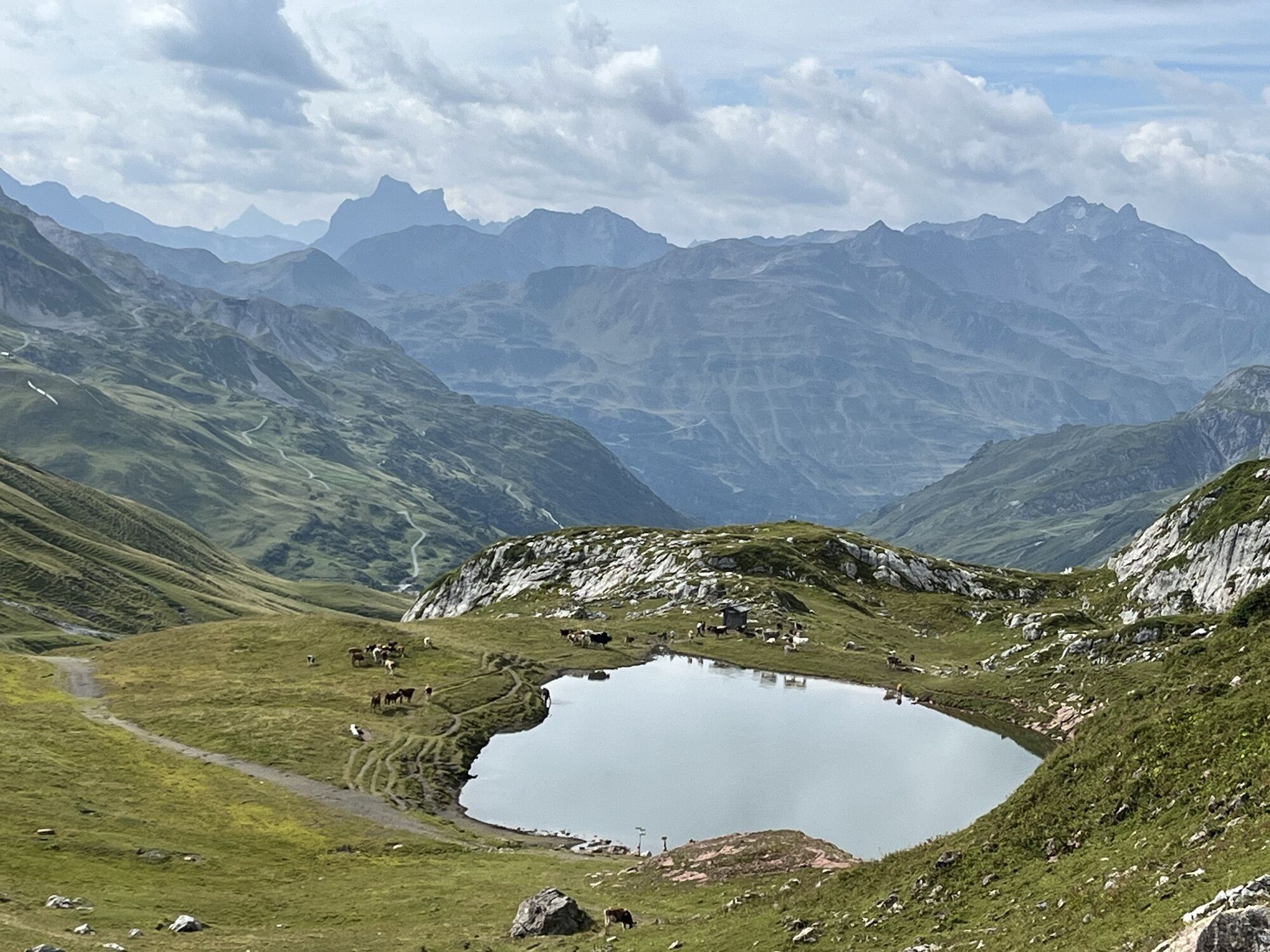
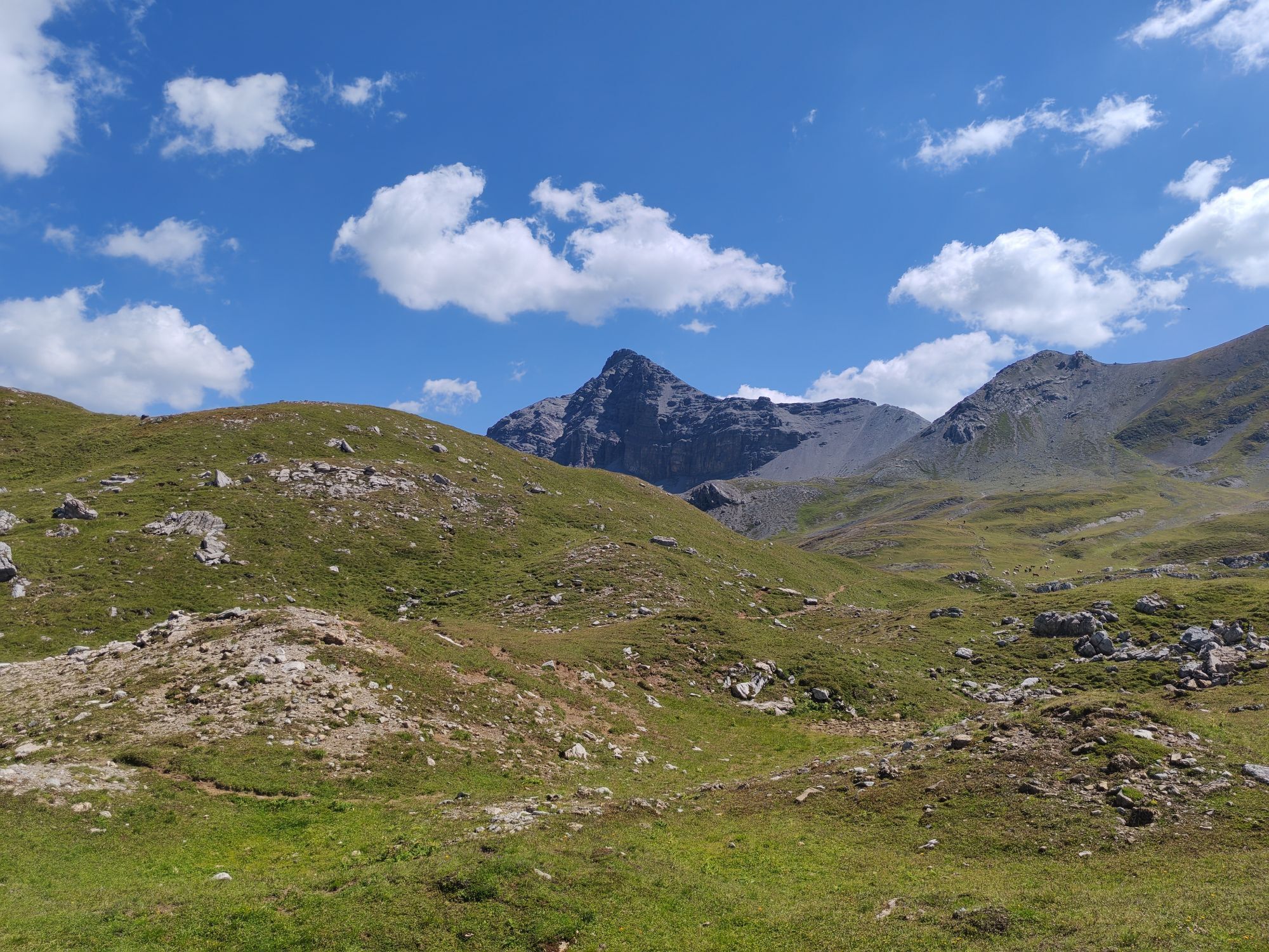
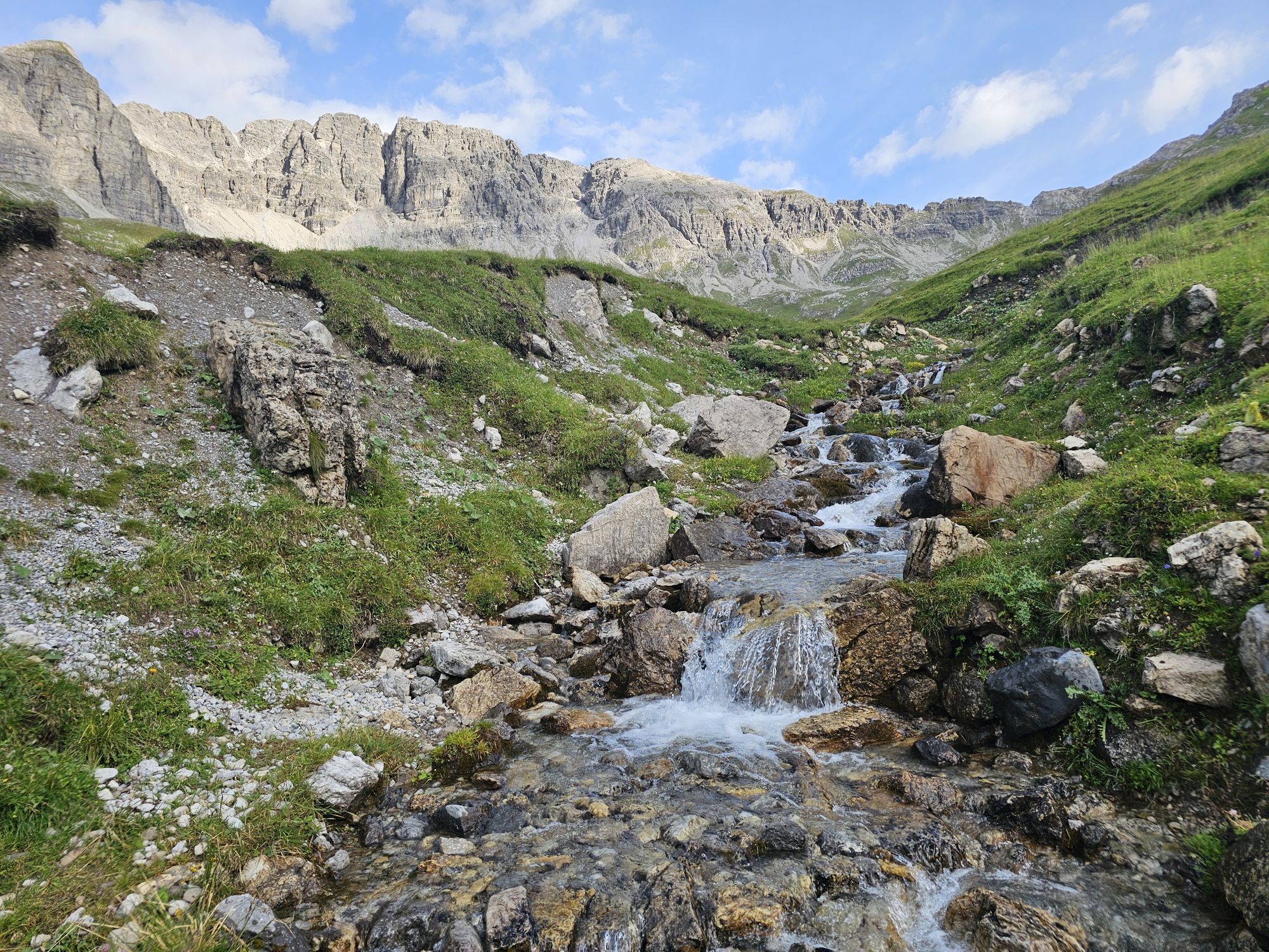
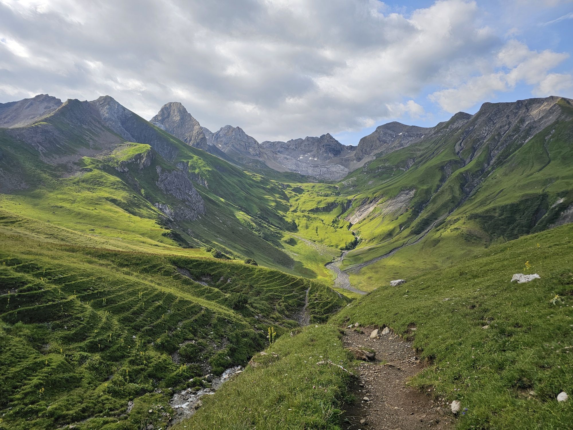
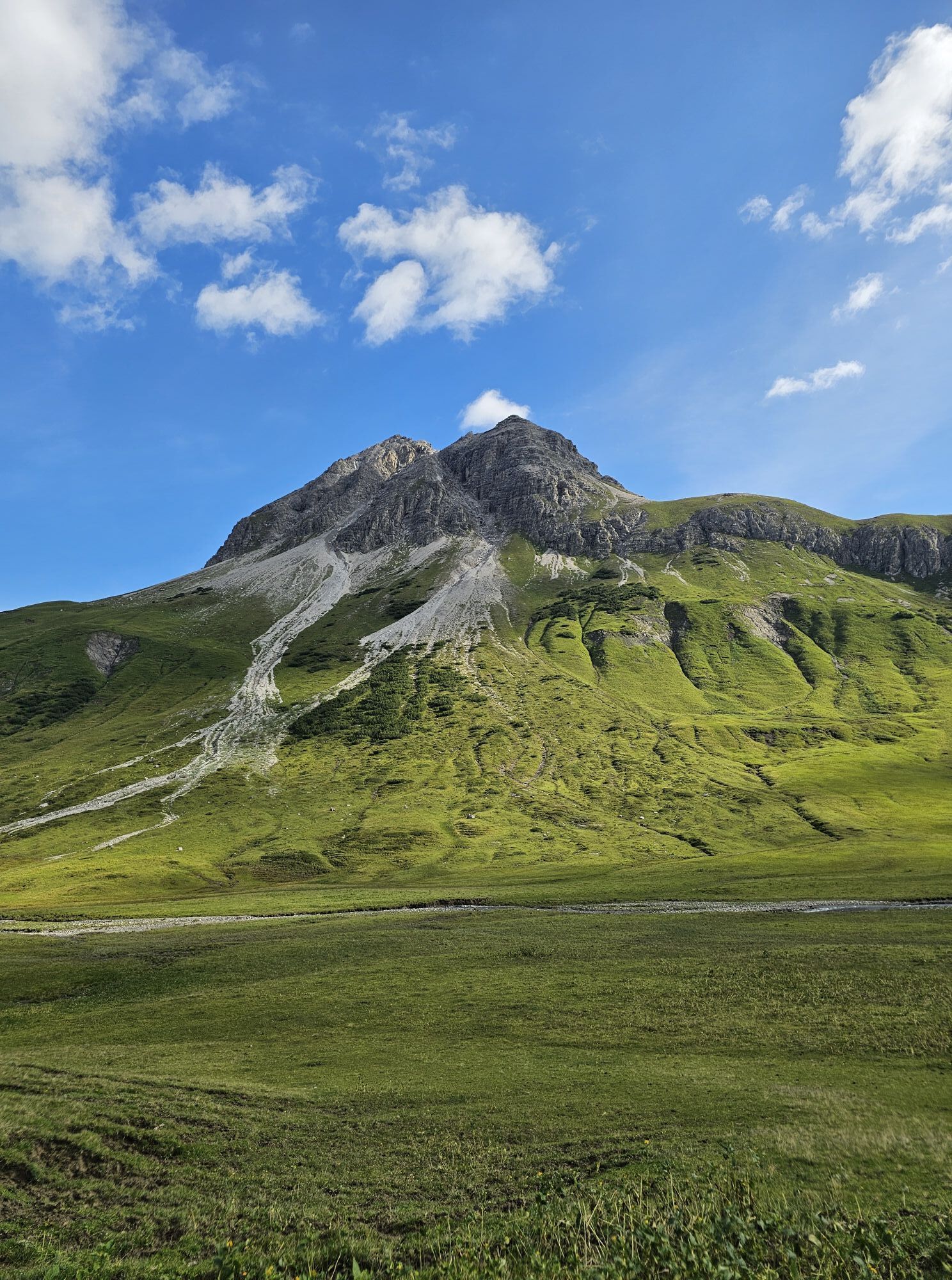
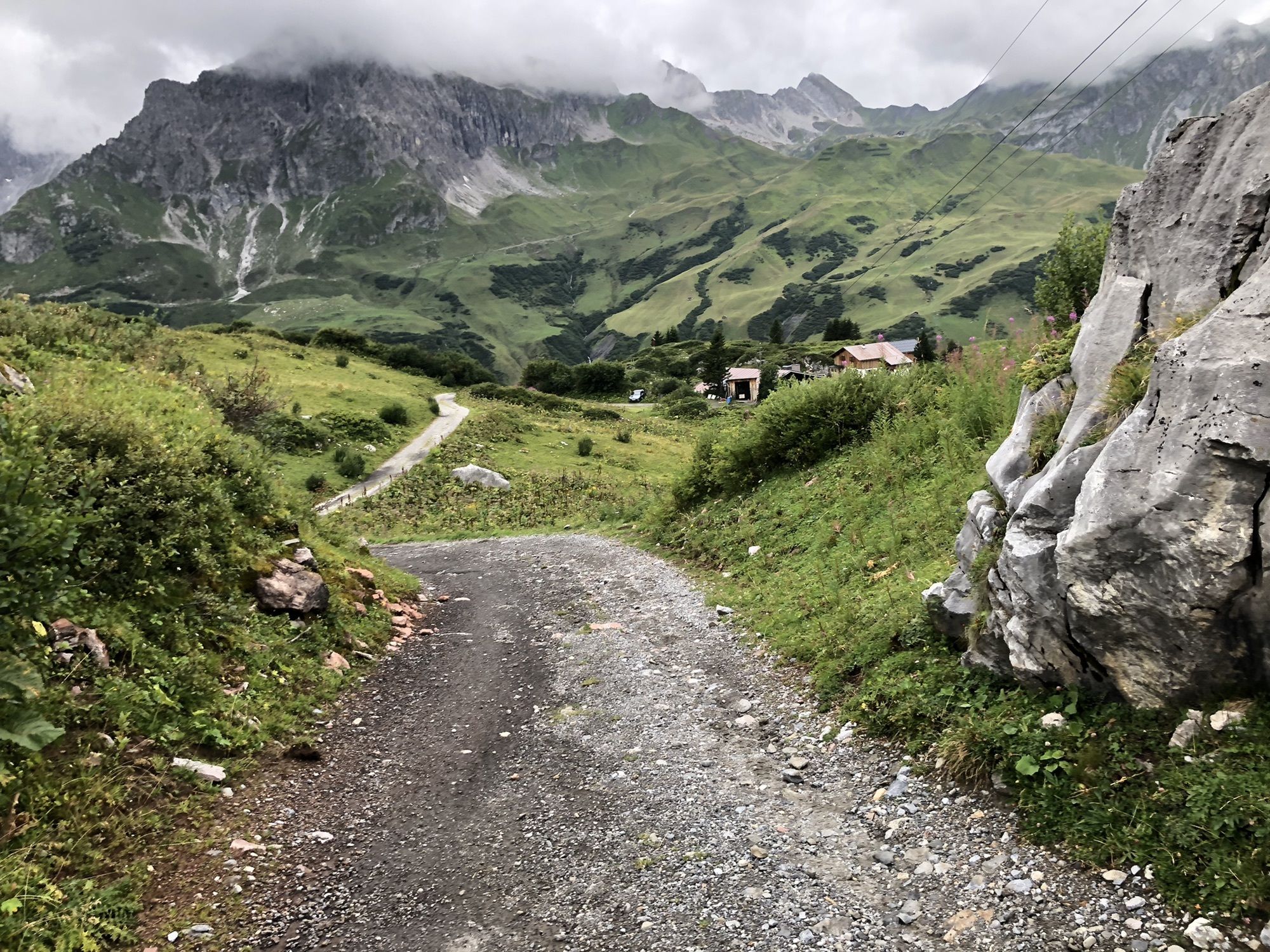
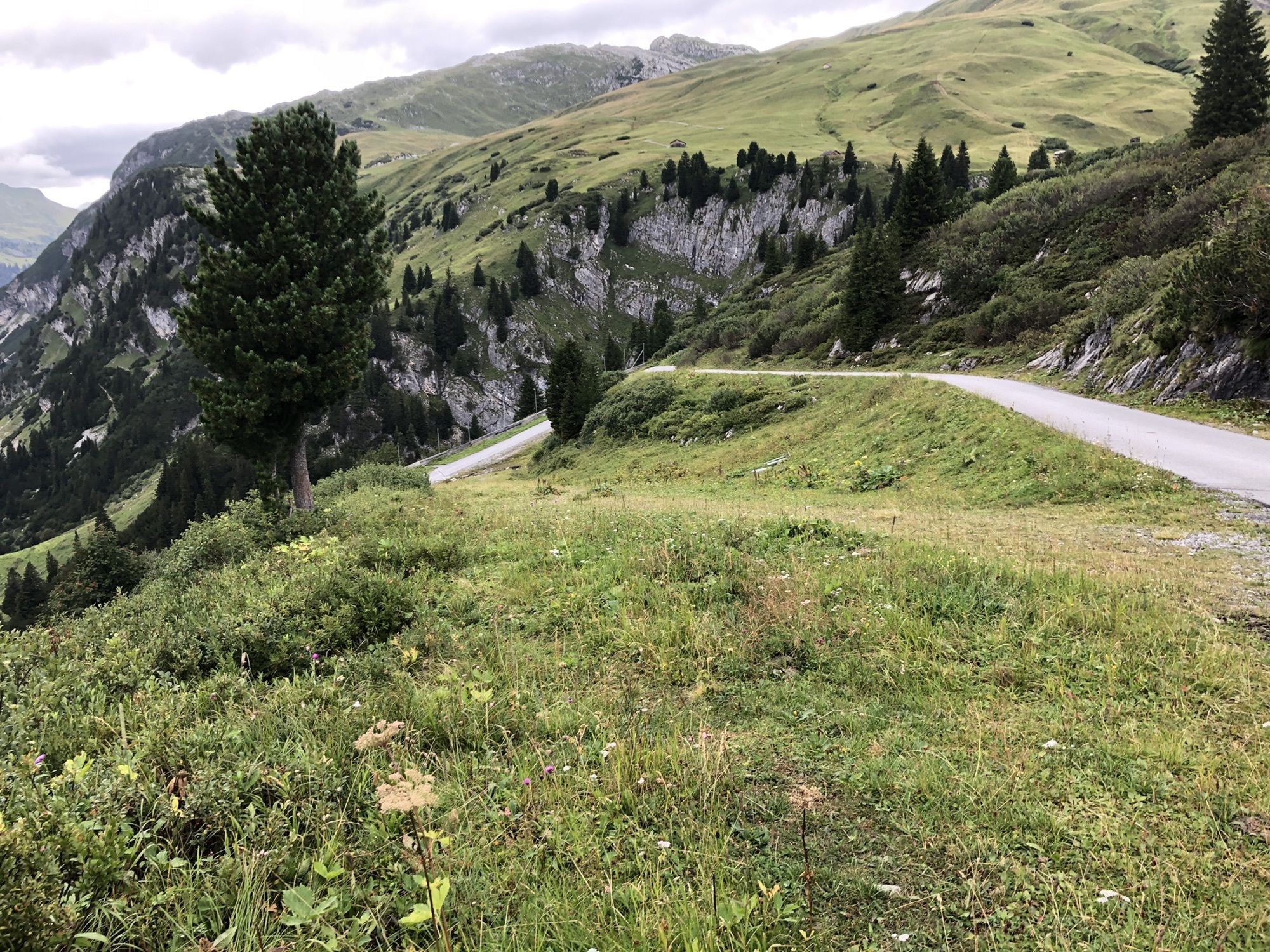
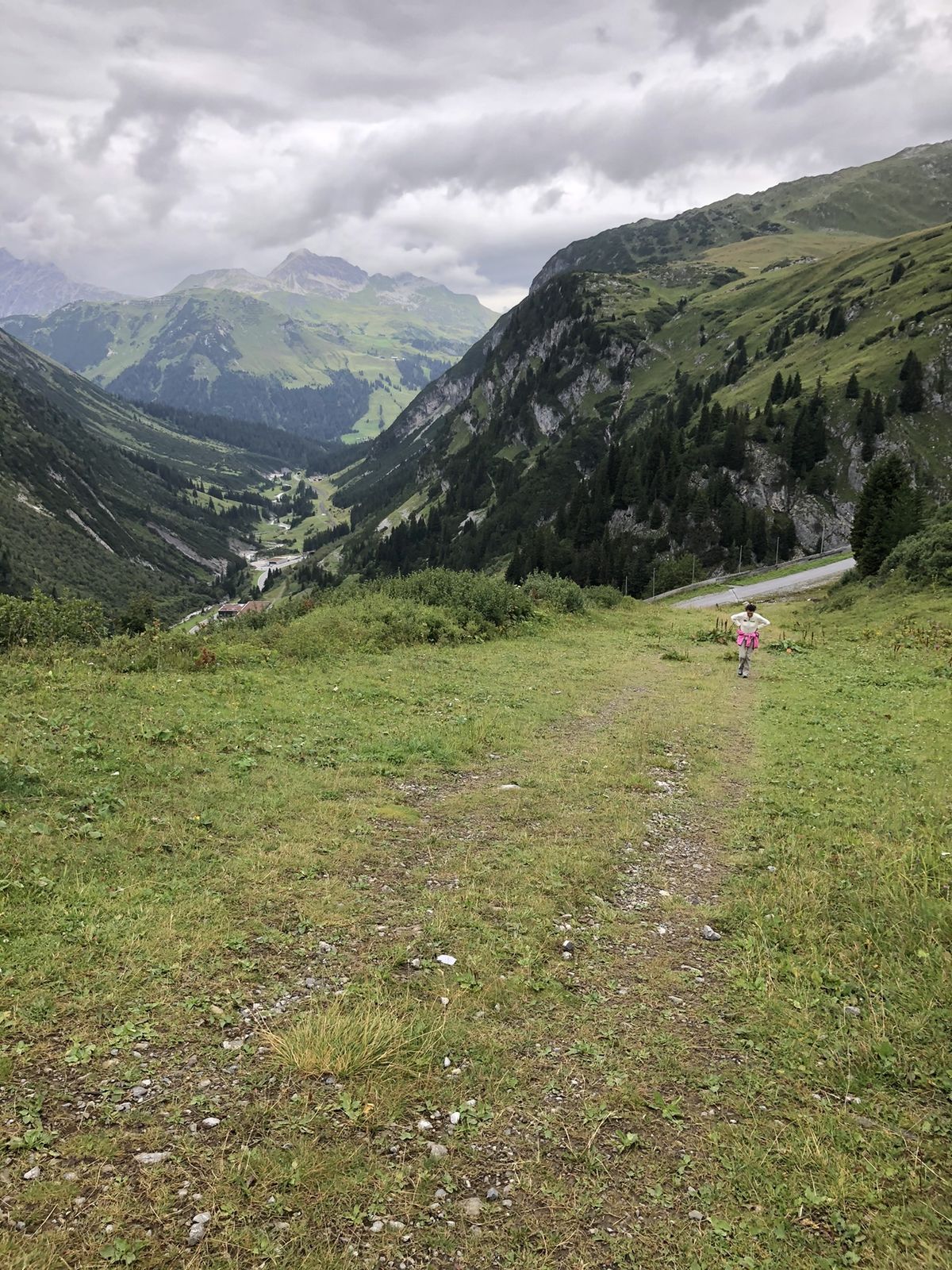
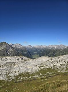
The 3 Valleys Trail links three alpine landscapes to form a spectacular loop around Zürs. Starting with a steep climb past the waterfall, the route leads up into high alpine terrain, over the Rauhkopfscharte...
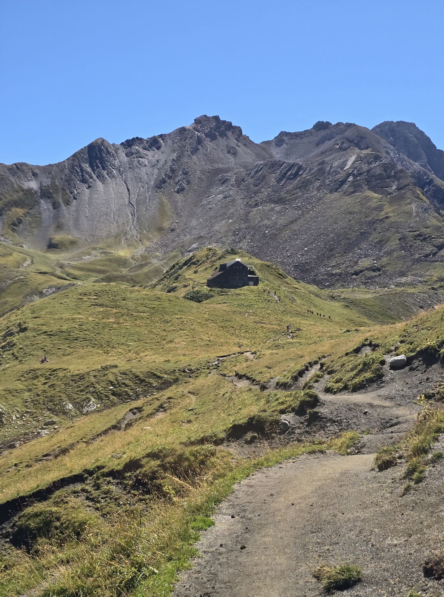
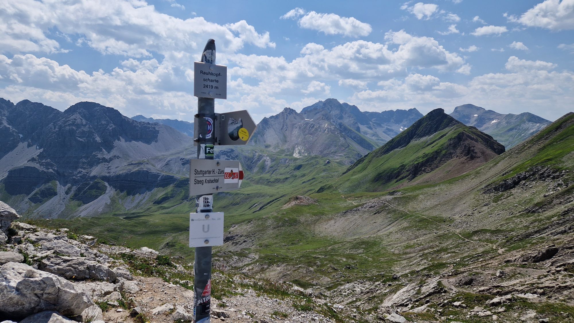
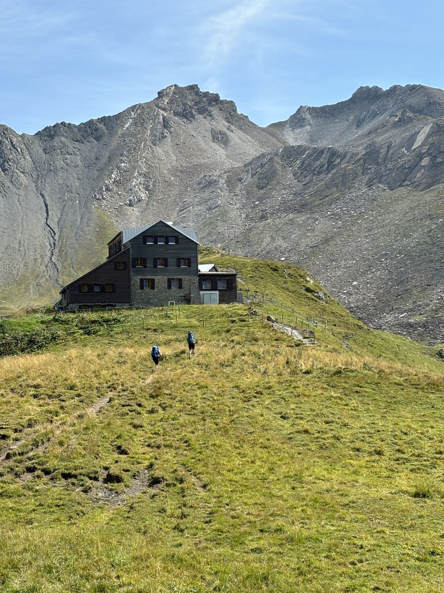
The 3 Valleys Trail links three alpine landscapes to form a spectacular loop around Zürs. Starting with a steep climb past the waterfall, the route leads up into high alpine terrain, over the Rauhkopfscharte and on to the Stuttgarter Hütte, offering stunning views along the way. The long descent through the Pazüeltal valley rounds off the tour – ideal for anyone looking to combine a good workout, panoramic views and varied trails.

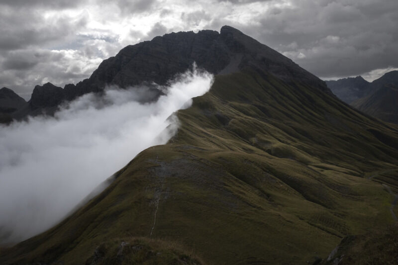

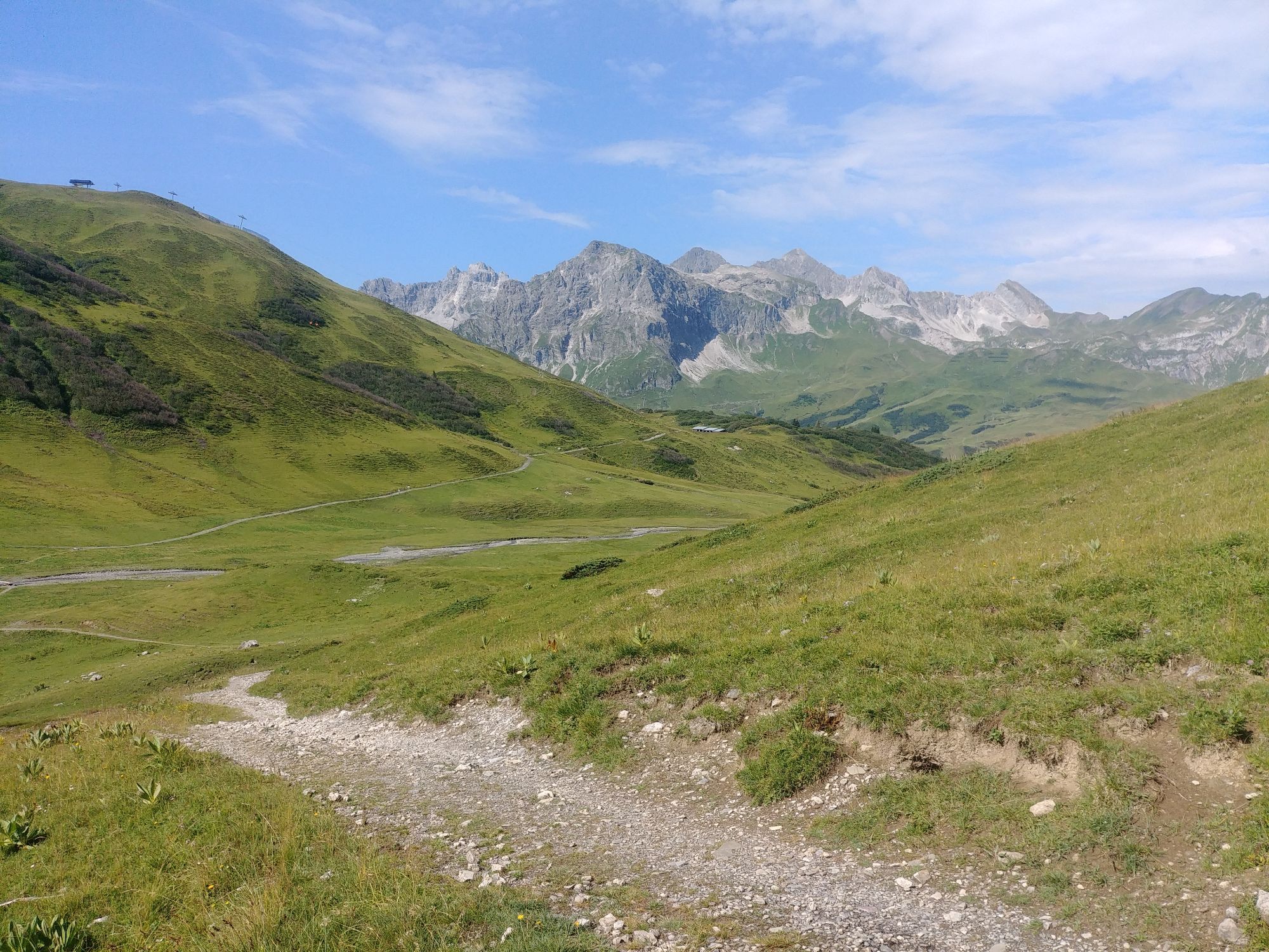
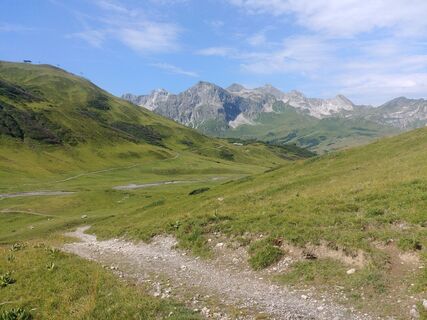
The long descent begins at the Stuttgarter Hütte. The trail leads steadily downhill through the Pazüeltal – initially with a more alpine character, later becoming increasingly smooth. Via the Trittalpe, you reach lower altitudes again before the final kilometres take you back to Zürs, your starting point.
The 3 Täler Trail is a challenging loop with impressive sections and a long descent. Ideal for experienced trail runners who want to combine endurance, sure-footedness and an immersive experience of nature.
For alpine trail running routes, the following kit is recommended: trail running shoes with good grip are essential for varied terrain and narrow paths. Opt for breathable technical clothing worn in layers, as well as a lightweight wind or rain jacket, as the weather in the mountains can change quickly. Sufficient fluids and energy should go without saying, as should a small running rucksack. Trail running poles can provide noticeable relief and extra stability on both ascents and longer descents.
140 Alpine emergencies throughout Austria
144 Alpine emergencies in Vorarlberg
112 European emergency number (works with any mobile phone/network)
From Switzerland: Take the A13 and cross the border at Feldkirch, Hohenems or Lustenau, then follow the A14 to Bludenz. Continue on the S16 to the Lech Zürs am Arlberg exit. Take the B197 through Stuben, up the winding road to the Flexengalerie, and over the Flexen Pass to reach Lech Zürs am Arlberg.
From Austria: Take the A12 Inntal motorway and continue on the S16 to the St. Anton am Arlberg (Arlberg Pass) exit. Follow the B197, first through St. Anton, then through St. Christoph and over the Arlberg Pass to Alpe Rauz. Here, turn right onto the B198. Pass through the Flexengalerie and over the Flexen Pass to reach Lech Zürs am Arlberg.
You can either park your car directly at your host’s property or in the Anger underground car park. The underground car park is situated right in the town centre, opposite the Dorfhus.
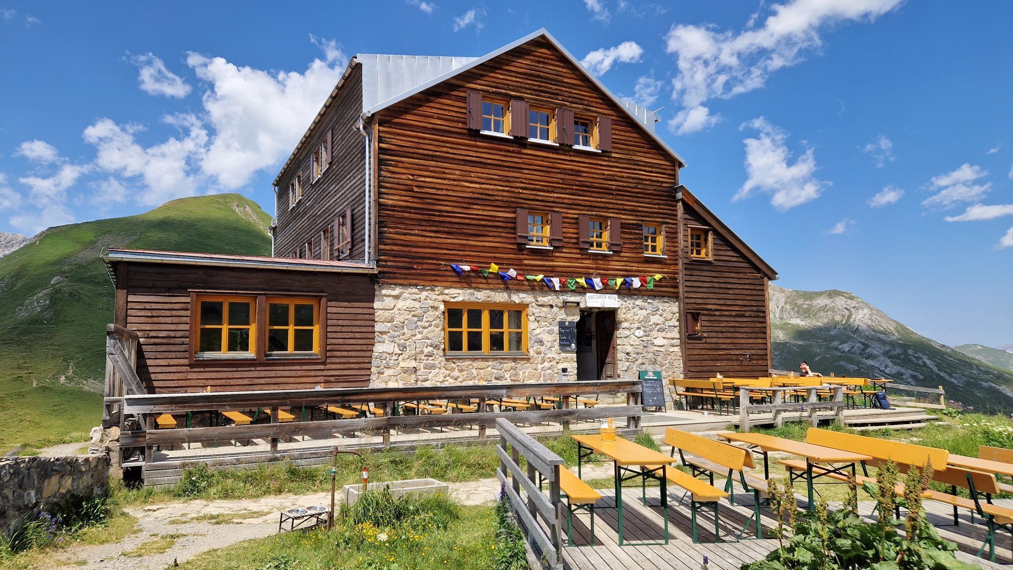
The Stuttgart Hut is run by a Nepalese host and is renowned not only for its warm atmosphere but also for its excellent food – the perfect place to stop off, recharge your batteries and enjoy the high-alpine surroundings.
Webcams del recorrido
-
Valluga
-
Flühenlift
-
Oberlech
-
Zürs - Trittkopf Bergstation
-
Lech am Arlberg - Hotel Goldener Berg Oberlech
-
Lech am Arlberg - Pension Bergland
-
Lech am Arlberg - Kriegerhornbahn
-
Lech am Arlberg - Sporthaus
-
Zug
-
Lech am Arlberg
-
Oberlech - Pension Bergland
-
Lech - Wöstersattel
-
Stuben
-
Schmelzhof
-
Chalet Anna Maria
-
Lech Rüfikopf
-
Haldenhof




Rutas populares en los alrededores
-
4,9
Holzgau zur Rossgumpenalm
medioSenderismo 4,09 km -
4,8
Ruta circular por el Gemsteltal
luzSenderismo 5,53 km -
4,5
Ruta circular por el Derratal
medioSenderismo 8,11 km -
4,7
Widderstein Runde von Baad
medioSenderismo 15,8 km -
4,9
Sulzalm
medioSenderismo 9,17 km -
4,3
Recorrido circular por el valle Bärgunttal
medioSenderismo 4,75 km -
4,8
Biberkopf
pesadoSenderismo 7,70 km -
4,1
Stuben - Stubner See - Kaltenberghütte - Stuben
medioSenderismo 9,90 km -
4,9
Ruta de montaña a la cabaña Fiderepasshütte
pesadoSenderismo 12,8 km -
4,9
Braunarlspitze
pesadoSenderismo 16,6 km
Senderismo y rastreo


No se pierda las ofertas y la inspiración para sus próximas vacaciones
Su dirección de correo electrónico se ha añadido a la lista de correo.


