
Ila - Ilen kirke - Trondheim Adventistkirke - St. Olav domkirke
luz
Consigue este tour en tu móvil
Ila - Ilen kirke - Trondheim Adventistkirke - St. Olav domkirke
luz
Senderismo
5,81
km
Escanee el código QR e inicie la navegación en la aplicación bergfex

Senderismo y rastreo


Ila - Ilen kirke - Trondheim Adventistkirke - St. Olav domkirke
luz
Distancia
5,81
km
Duración
01:28
h
Ascenso
62
m
Nivel del mar
-
m
Descarga de pistas
Ila - Ilen kirke - Trondheim Adventistkirke - St. Olav domkirke
luz
Senderismo
5,81
km


Ruta
Ilen kirke
(12 m)
Lugar de culto
0,2 km
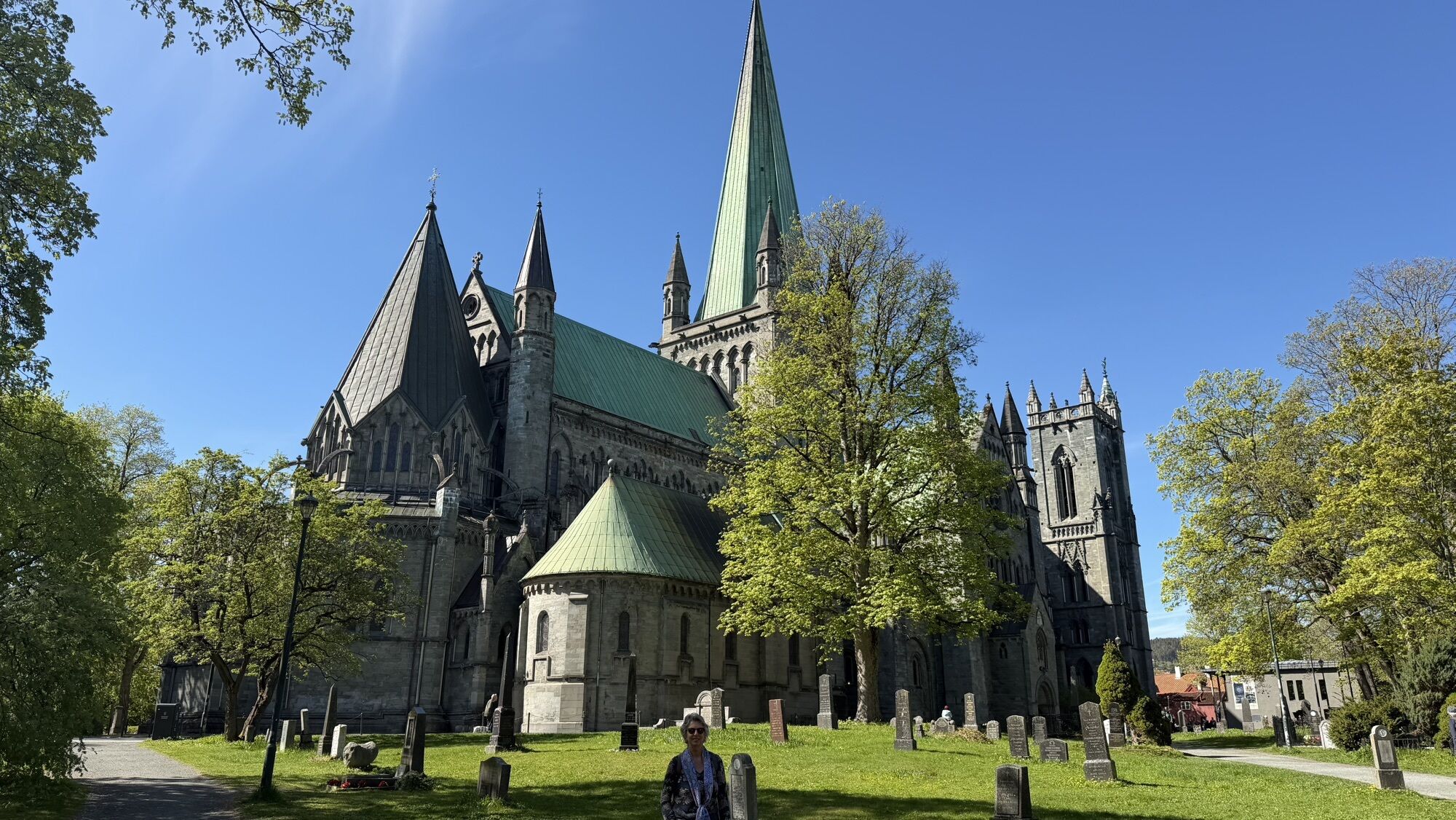
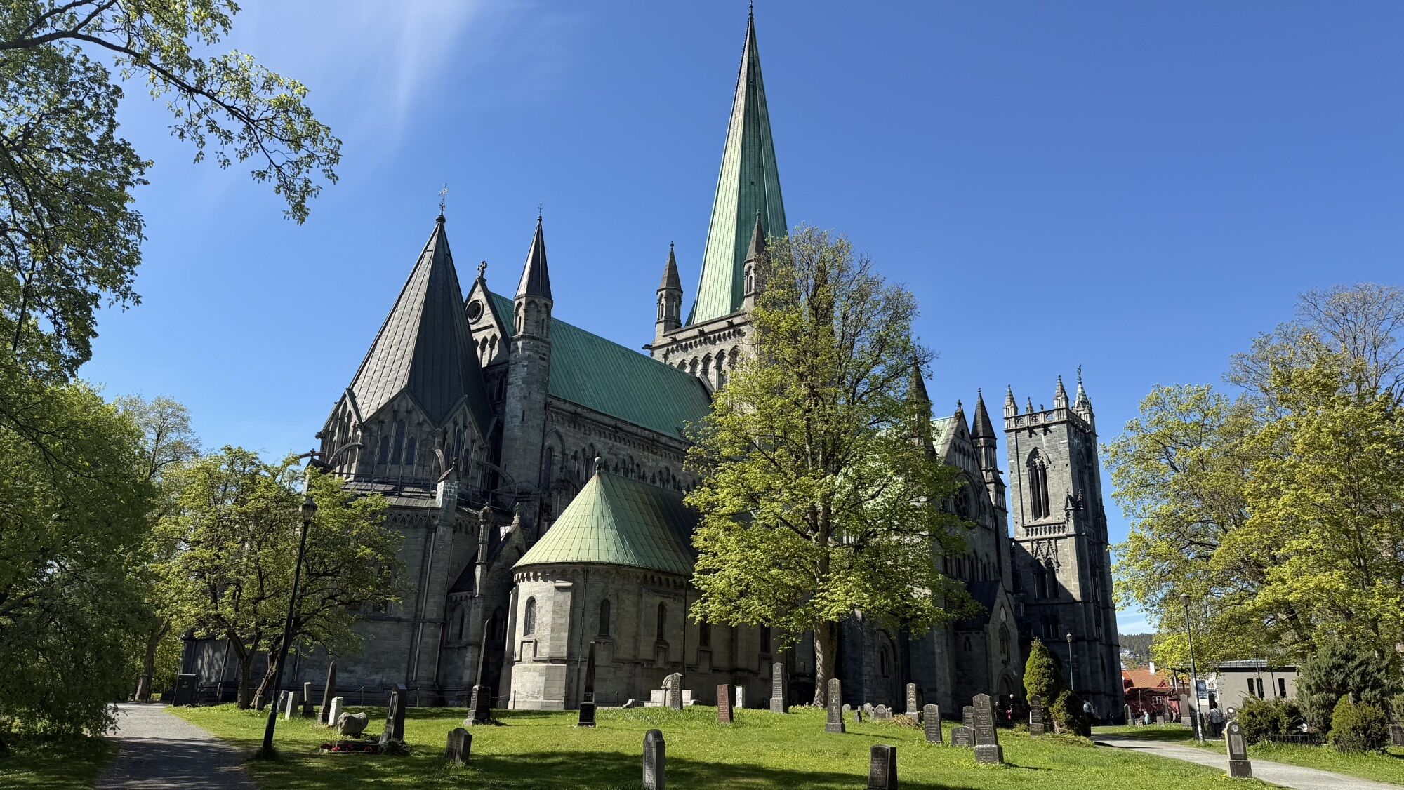
St. Olav domkirke
(14 m)
Lugar de culto
1,6 km
Kirkesletta
(10 m)
Barrio
3,2 km
Ruta
Ila - Ilen kirke - Trondheim Adventistkirke - St. Olav domkirke
luz
Senderismo
5,81
km
Ila
(11 m)
Barrio
0,1 km
Ilen kirke
(12 m)
Lugar de culto
0,2 km
Hospitalsløkkan
(9 m)
Barrio
0,3 km
Nidarø
(6 m)
Barrio
0,5 km
Kalvskinnet
(14 m)
Barrio
1,2 km
Trondheim Adventistkirke
(14 m)
Lugar de culto
1,5 km
St. Olav domkirke
(14 m)
Lugar de culto
1,6 km
Trondheim
(10 m)
Ciudad
2,4 km
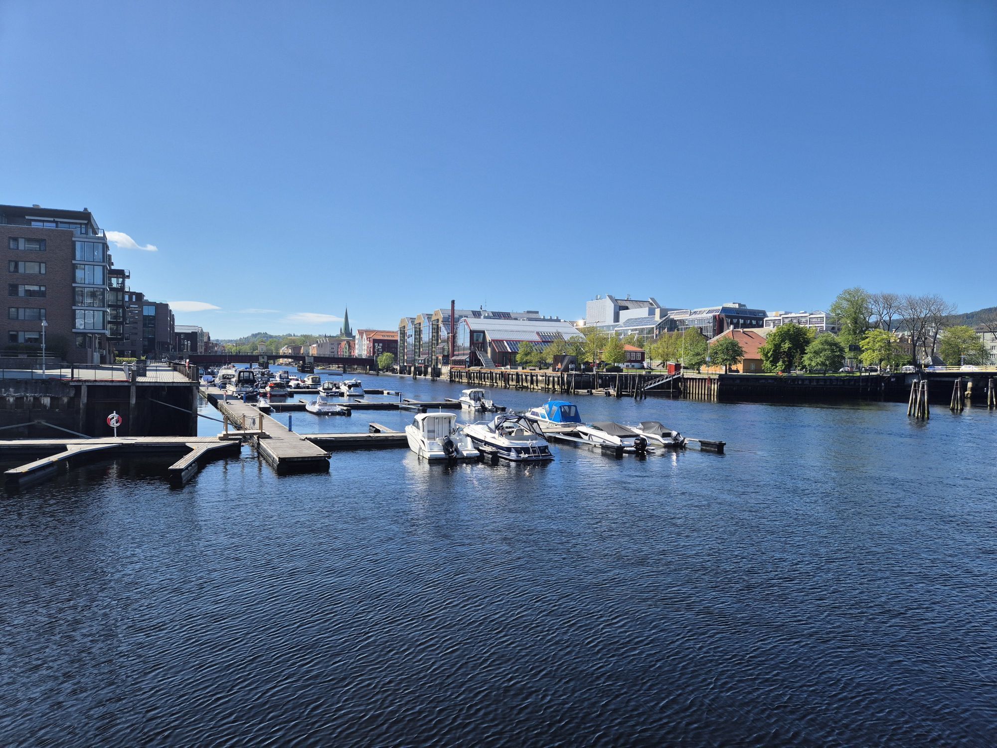
Old Town Bridge
(2 m)
Punto de vista
2,4 km
Bakklandet
(4 m)
Barrio
2,5 km
Møllenberg
(22 m)
Barrio
3,0 km
Den Nyapostoliske Kirke
(4 m)
Lugar de culto
3,1 km
Kirkesletta
(10 m)
Barrio
3,2 km
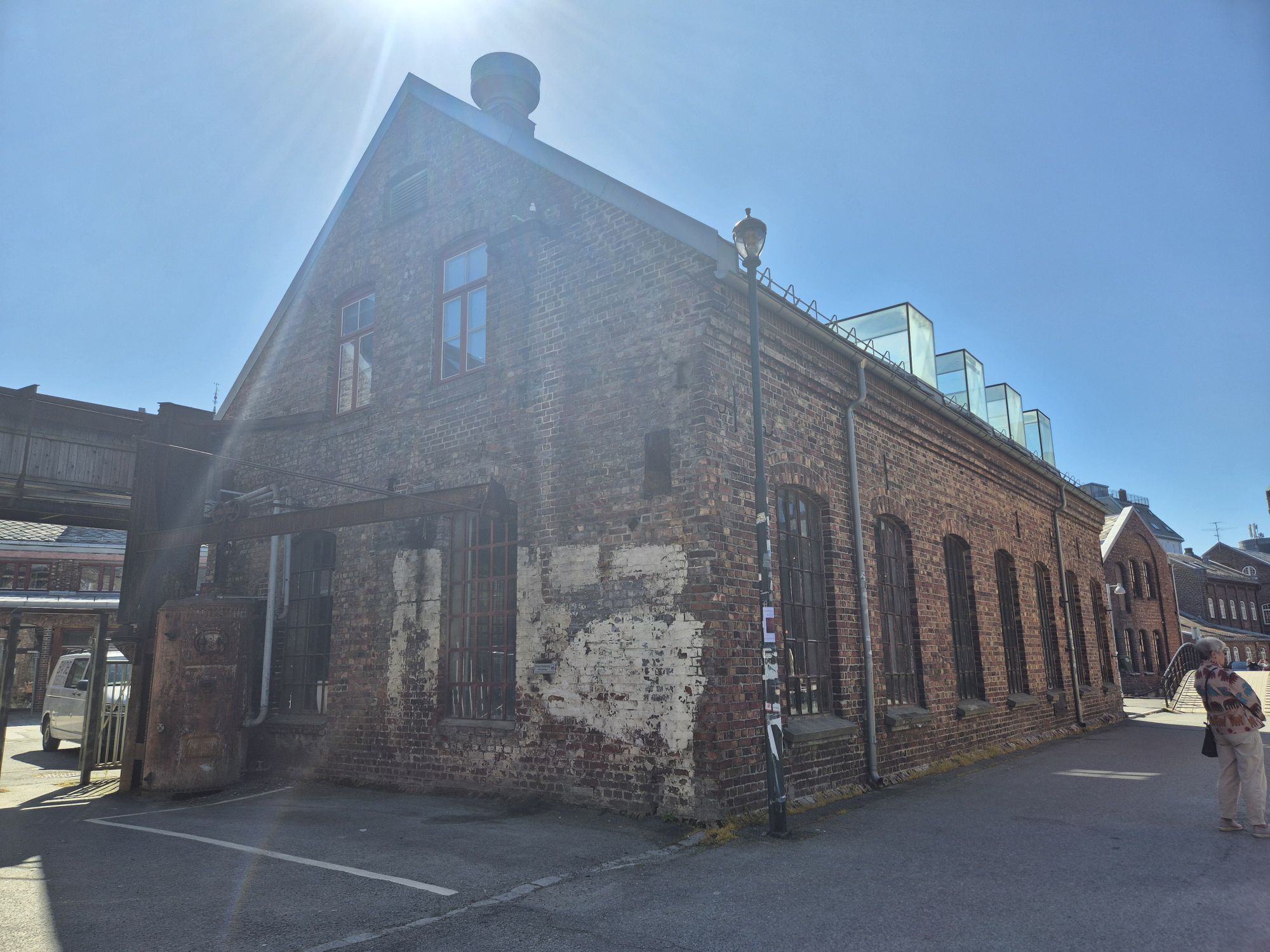
Nedre Elvehavn
(2 m)
Barrio
3,5 km
Nerbyen
(7 m)
Barrio
3,8 km
Trondheim
(5 m)
Estación de ferrocarril
4,1 km
Hospitalsløkkan
(9 m)
Barrio
5,4 km
Ila
(11 m)
Barrio
5,8 km
Autor
Proporcionado por Bergfex Tour Generator
Compartir gira
Ila - Ilen kirke - Trondheim Adventistkirke - St. Olav domkirke
luz
Senderismo
5,81
km
Error
Se ha producido un error. Por favor, inténtelo de nuevo.
Aún no hay opiniones

Rutas populares en los alrededores
-
Nerbyen - Våttakammen - Blyberget - Ilen kirke
medioSenderismo 13,5 km -
Midtbyen - Blyberget - Ilen kirke - Møllenberg
medioSenderismo 18,6 km -
Trondheim - Det Muslimske Samfunnet i Trondheim - Ilen kirke - Det Mosaiske Trossamfunn, Trondheim
medioMountainbike 23,5 km -
Lerkendal - Gløshaugen - Trondheim - Ilen kirke
pesadoCiclismo 44,4 km -
Kristiansten Festnings Minnekapell - Trondheim - Møllenberg - Østbyen
luzSenderismo 1,76 km -
Fossegrenda - Det Mosaiske Trossamfunn, Trondheim - Misjonskirken - Midtbyen
luzSenderismo 6,92 km -
Trondheim - Marienborg - Dalsenget - Eventyrbyen
pesadoCiclismo 45,6 km -
Storsandan - Napolitana - Det Muslimske Samfunnet i Trondheim - Bakke kirke
medioMountainbike 39,4 km -
Lilleby - Lademoen kirke - Ilen kirke - Church 4U
pesadoCiclismo 88,5 km -
Flakk - Folafoten - Trondheim - Ilen kirke
medioCiclismo 29,9 km
Senderismo y rastreo

Más de 550.000 sugerencias de excursiones, mapas detallados y un intuitivo planificador de rutas hacen de esta aplicación una herramienta imprescindible para todos los amantes de la naturaleza.

No se pierda las ofertas y la inspiración para sus próximas vacaciones
Suscribirse al boletín de noticias
Error
Se ha producido un error. Por favor, inténtelo de nuevo.
Gracias por inscribirse
Su dirección de correo electrónico se ha añadido a la lista de correo.
Viajes por Europa
Austria
Suiza
Alemania
Italia
Eslovenia
Francia
Países Bajos
Belgium
Polonia
Liechtenstein
República Checa
Slovakia
España
Croacia
Bosnia y Herzegovina
Luxemburgo
Andorra
Portugal
Iceland
United Kingdom
Ireland
Greece
Albania
North Macedonia
Malta
Norway
Montenegro
Moldova
Kosovo
Hungary
San Marino
Romania
Estonia
Latvia
Belarus
Cyprus
Lithuania
Serbia
Bulgaria
Monaco
Denmark
Sweden
Finland