






Winterwanderung Waidring Dorf - Strub
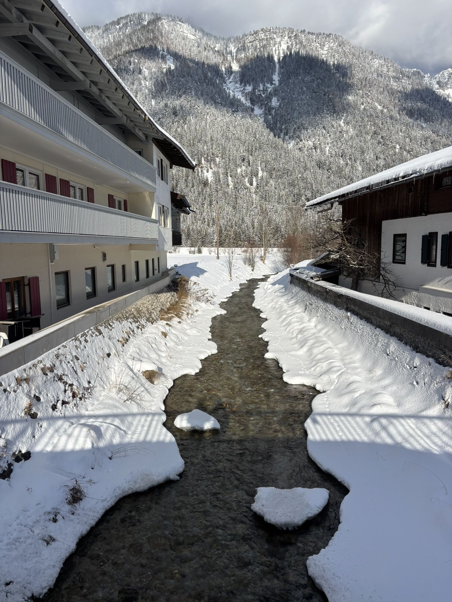
From the village center take the Hintergasse until you reach an underpass. Turn right before the underpass to the river Haselache. Here you walk left along the river until the restaurant Gasthof Strub....
From the village center take the Hintergasse until you reach an underpass. Turn right before the underpass to the river Haselache. Here you walk left along the river until the restaurant Gasthof Strub. Back along the road "alte Bundesstraße" until the crossing towards "Kneippanlage" (Kneipp's facilities). There you walk through the forest towards the hamlet Schäferausiedlung and via hamlet Unterwasser back to the village center.


Gasthof Strub
Hiking map are available in all touristoffice´s of the PillerseeTal
Mit dem Regiobus PillerseeTal oder dem Postbus Linie 4012 Haltestelle Dorfzentrum nehmen.
Centre of Waidring

Webcams del recorrido
-
Schwarzlofer
-
Waidring - Kammerkör
-
Bergstation Almbahn II
-
Almenwelt Lofer
-
Almenwelt Lofer
-
Almenwelt Lofer
-
Almenwelt Lofer
-
Almenwelt Lofer
-
Almenwelt Lofer
-
Almenwelt Lofer
-
Almenwelt Lofer
-
Almenwelt Lofer
-
Waidring
-
St.Ulrich im Pillerseetal
-
Waidring Schweizerhof
-
Waidring Kammerkör
-
Schwarzlofer
-
Waidring - Steinplatte Plattenkogel
Infórmate
Siempre en directo con más de 9.500 webcams. bergfex Como usuario Pro, ahora puede ver las webcams correspondientes a muchos tours en la app de tours desde. Esto le permite ver las condiciones actuales directamente.
Rutas populares en los alrededores
-
4,7
Kirchdorf: Zur geheimnisvollen Teufelsgasse
medioSenderismo 7,90 km -
4,4
Erpfendorf: Griesbachklamm
medioSenderismo 10 km -
4,8
Por el camino de la cascada hacia Almenwelt Lofer
medioSenderismo 3,29 km -
4,5
Seisenbergklamm
luzSenderismo 2,41 km -
4,8
Atemberaubende Aussicht auf dem Dürrnbachhorn
medioSenderismo 8,44 km -
4,8
Loferer Steinberge, zum Hinterhorn über die Schmid-Zabierow Hütte, 19.06.22
pesadoSenderismo 14,0 km -
4,7
CHIEMGAU: Hörndlwand (1684m), Gurnwandkopf (1691m)
luzSenderismo 12,6 km -
3,5
Desde Heutal al Sonntagshorn en Salzburger Saalachtal
medioSenderismo 11,7 km -
4,2
Vorderkaserklamm
luzSenderismo 1,24 km -
4,3
A la iglesia de peregrinación Maria Kirchental
luzSenderismo 4,82 km
Senderismo y rastreo


No se pierda las ofertas y la inspiración para sus próximas vacaciones
Su dirección de correo electrónico se ha añadido a la lista de correo.





