



Hike to Hubertusteich 1.557m

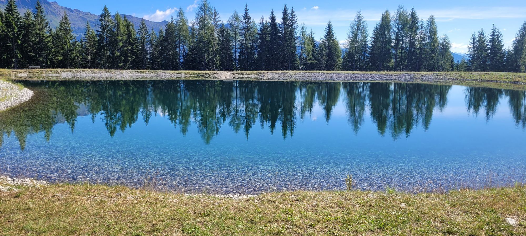

The Hubertusteich is an idyllic storage pond located on the Hochstein at an altitude of 1,557m. It is situated just a few minutes' walk above the Sternalm. It offers a quiet, romantic spot with seating...
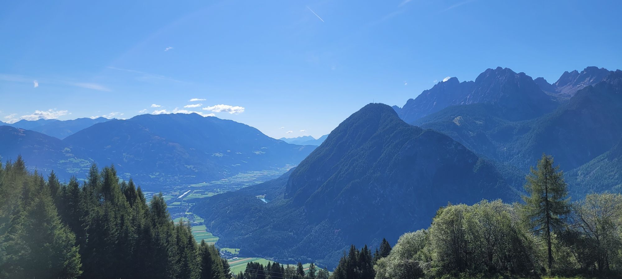
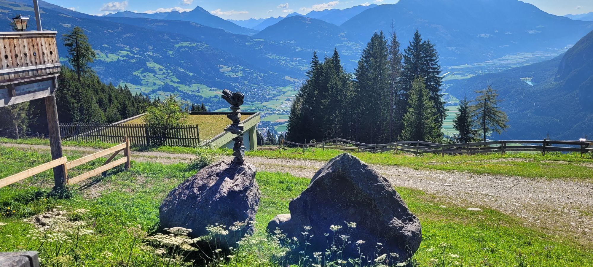
The Hubertusteich is an idyllic storage pond located on the Hochstein at an altitude of 1,557m. It is situated just a few minutes' walk above the Sternalm. It offers a quiet, romantic spot with seating areas, providing a wonderful view of the town of Lienz. The popular „Märchensteig“, which leads up to the Hochsteinhütte, also starts from there.

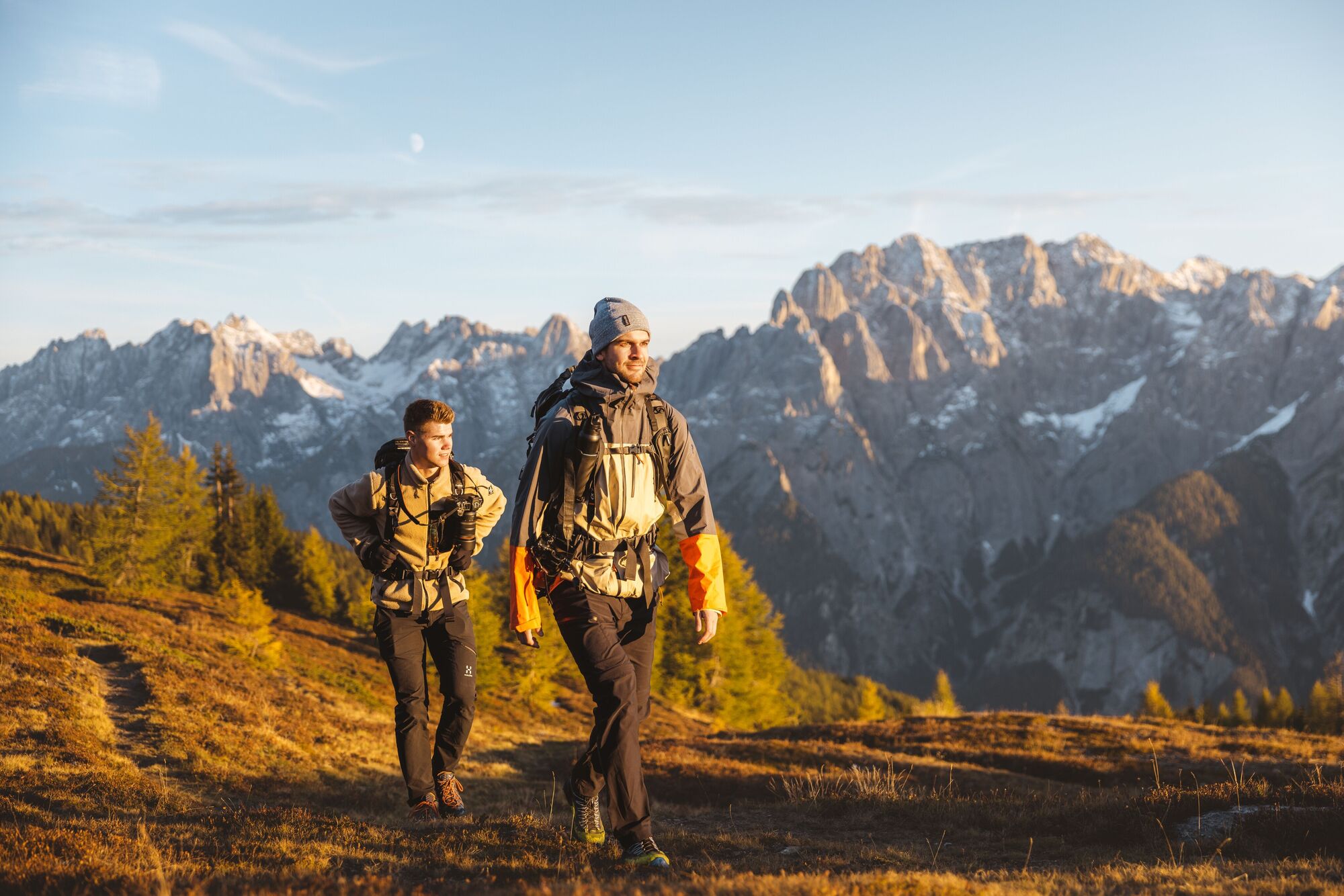
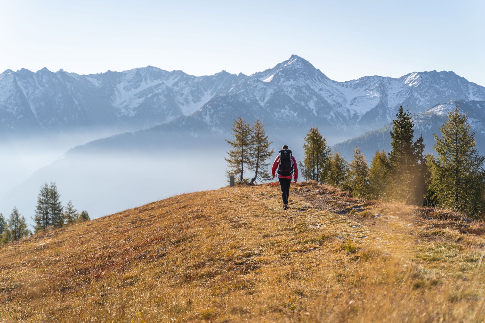
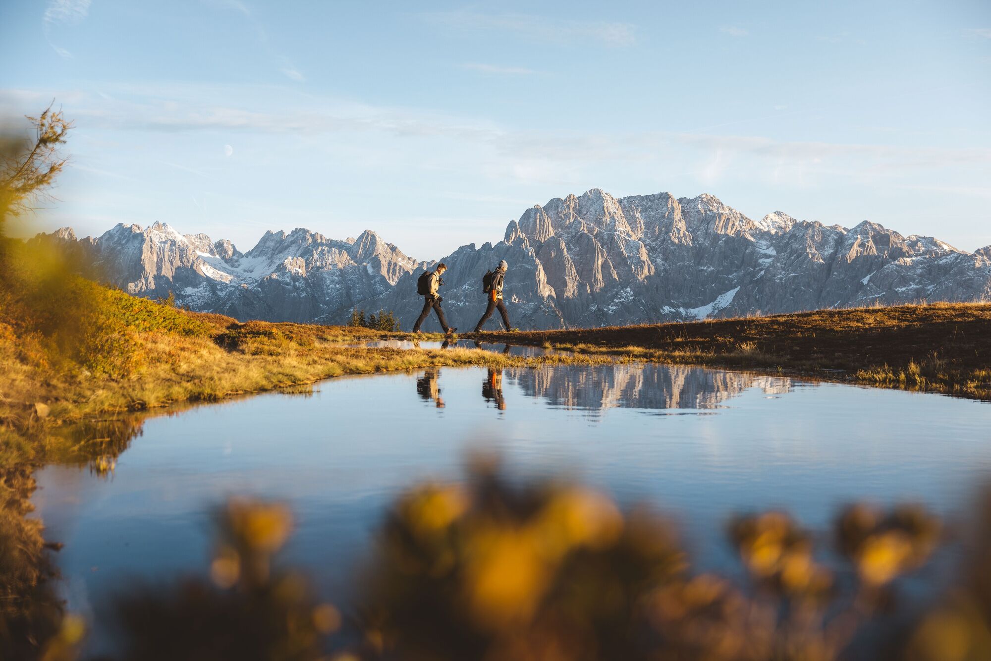

A very special place on the Hochstein! In just a few minutes' walk you reach the Hubertusteich, near the Sternalm. An idyllic spot – perfect for dreaming and enjoying!
Basic equipment for mountain hiking includes sturdy hiking boots with good tread, a 30-35 liter backpack, and functional clothing based on the layering principle, including sufficient spare clothes. Essential items are rain, cold, and sun protection, adequate fluids and provisions, as well as a first-aid kit and a charged mobile phone. A map or a GPS device supports orientation.
This information serves as a guideline and does not claim to be exhaustive. Equipment must always be adapted to the tour destination, weather conditions, season, natural hazards, environmental influences, and personal needs.
Hochstein-Talstation car park
Bus stop Hochstein / Schloss Bruck. From the bus stop, take the Schloßbergbahn up to the pasture Moosalm and continue with the H2 double chairlift to the pasture Sternalm, the starting point for the hike to the lake.

Rutas populares en los alrededores
-
4,9
Wangennitzsee Hütte
medioSenderismo 3,80 km -
4,7
Karlsbader Hütte über Rudl-Eller-Weg
pesadoSenderismo 5,10 km -
5,0
Recorrido Ederplan desde el aparcamiento de Stronach
medioSenderismo 7,19 km -
4,8
Lienzer Dolomiten-Lasertörl
medioSenderismo 13,2 km -
4,7
Karlsbader Hütte
medioMountainbike 13,4 km -
4,8
Lienzer Hütte
luzSenderismo 7,39 km -
4,8
Klammbrückl - Kerschbaumeralm - Spitzkofel
pesadoSenderismo 8,71 km -
4,4
Connyalm (2.070 m)
Senderismo 6,36 km -
4,0
Karlsbader Hütte - Lienzer Dolomiten
Senderismo 8 km -
4,2
Straßkopf
medioSenderismo 4,06 km
Senderismo y rastreo


No se pierda las ofertas y la inspiración para sus próximas vacaciones
Su dirección de correo electrónico se ha añadido a la lista de correo.


