





Circular Hike: Isel Canyon Suspension Bridge
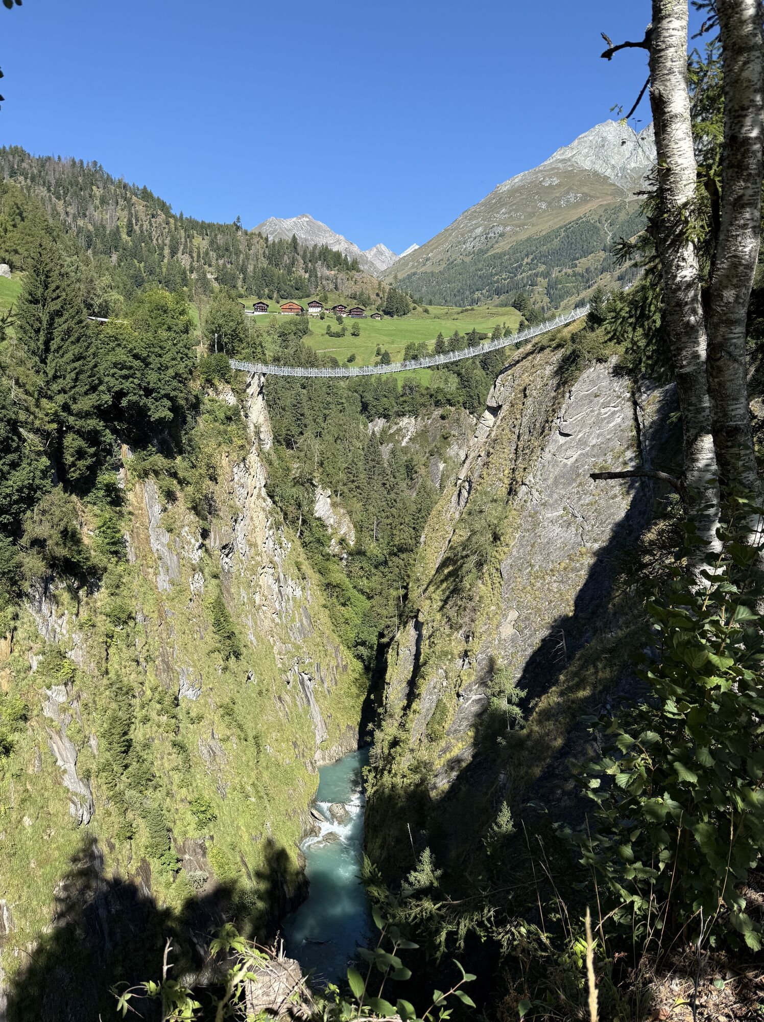
The starting point of this hike is easily accessible via the villages of Niedermauern and Welzelach. From the car park, you first walk along the tarmac road past the charming Silvester Chapel to the junction...
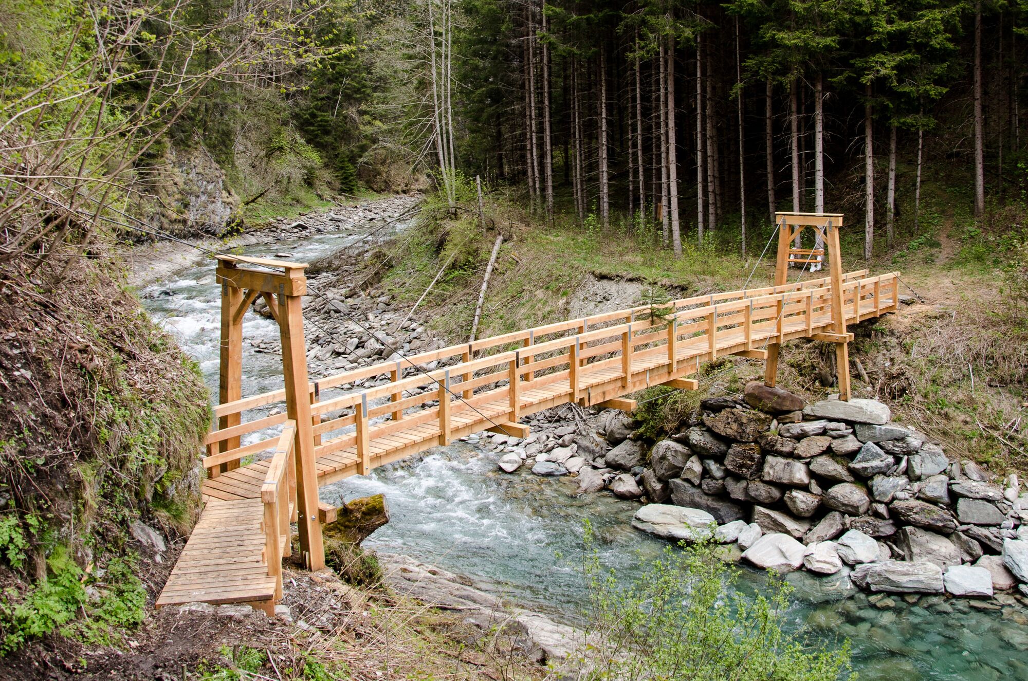
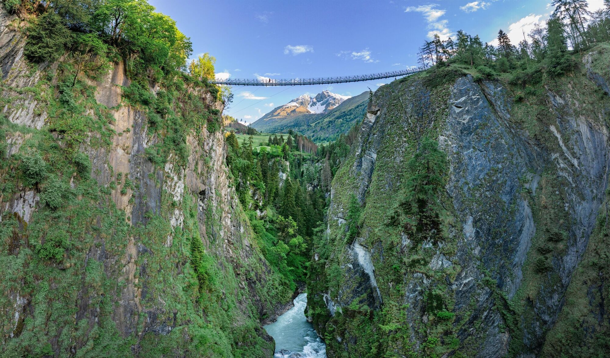
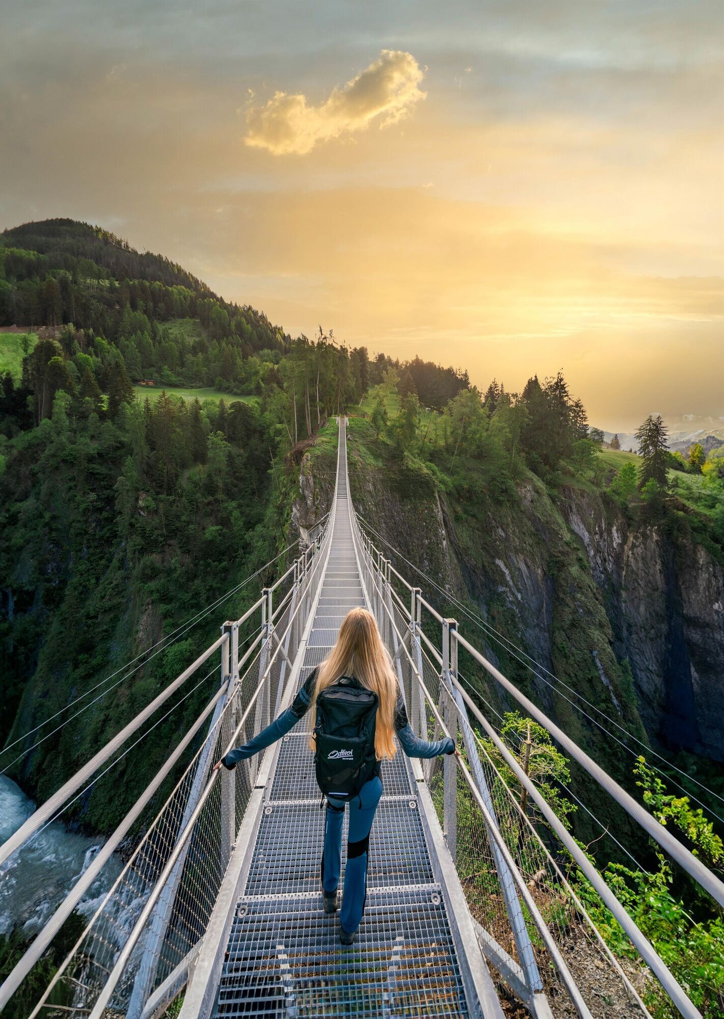
The starting point of this hike is easily accessible via the villages of Niedermauern and Welzelach. From the car park, you first walk along the tarmac road past the charming Silvester Chapel to the junction in Welzelach. From here, the scenery becomes more rustic: a hiking trail winds its way down into the Isel Gorge, which you cross via a wooden footbridge. After a slightly steeper section, the first highlight awaits at the shaded rest area: a pulpit platform suspended almost 9 metres above the ground guarantees spectacular views down into the gorge and across to the suspension bridge! Refreshed, you’ll tackle a gentle climb to the main attraction: the 90-metre-high suspension bridge provides the perfect thrill. From the bridge, it’s just a two-minute walk back to the starting point.


Virgen - Niedermauern - Welzelach
Bus stop Virgen Abzw Obermauern
Car park suspension bridge
Infórmate
Siempre en directo con más de 9.500 webcams. bergfex Como usuario Pro, ahora puede ver las webcams correspondientes a muchos tours en la app de tours desde. Esto le permite ver las condiciones actuales directamente.
Rutas populares en los alrededores
-
4,1
Gletscherlehrweg Innergschlöß
medioSenderismo 9,36 km -
4,5
Circular hike Proßeggklamm
medioSenderismo 8,41 km -
4,7
NaturKraftWeg Umbalfälle
luzSendero temático 5,99 km -
4,6
Vom Matreier Tauernhaus über die Felsenkapelle nach Innergschlöss
luzSenderismo 9,19 km -
5,0
Rotenkogel
pesadoSenderismo 4,22 km -
4,8
Stoden - Clarahütte
medioSenderismo 7,12 km -
4,9
Circular hike suspension bridge Isel Canyon via "Hohe Bank"
medioSenderismo 8,11 km -
4,7
Wiesbauerspitze 2.767 m
medioSenderismo 9,66 km -
4,2
Seespitze
medioSenderismo 13,7 km -
5,0
Muhs-Panoramaweg
medioSenderismo 14,0 km

Senderismo y rastreo


No se pierda las ofertas y la inspiración para sus próximas vacaciones
Su dirección de correo electrónico se ha añadido a la lista de correo.





