





Etappe 4b: Alpina Antica Trail | ET4b: Kössen - Gasteig

Nivel de dificultad: T2
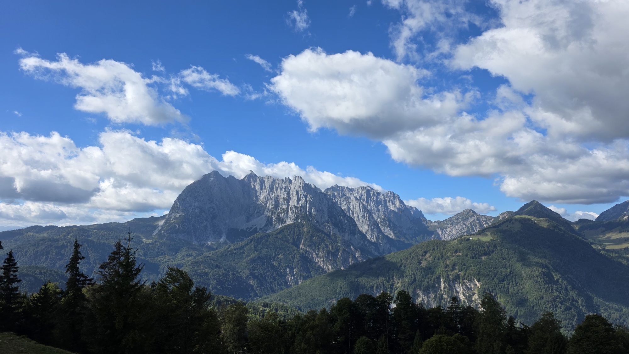
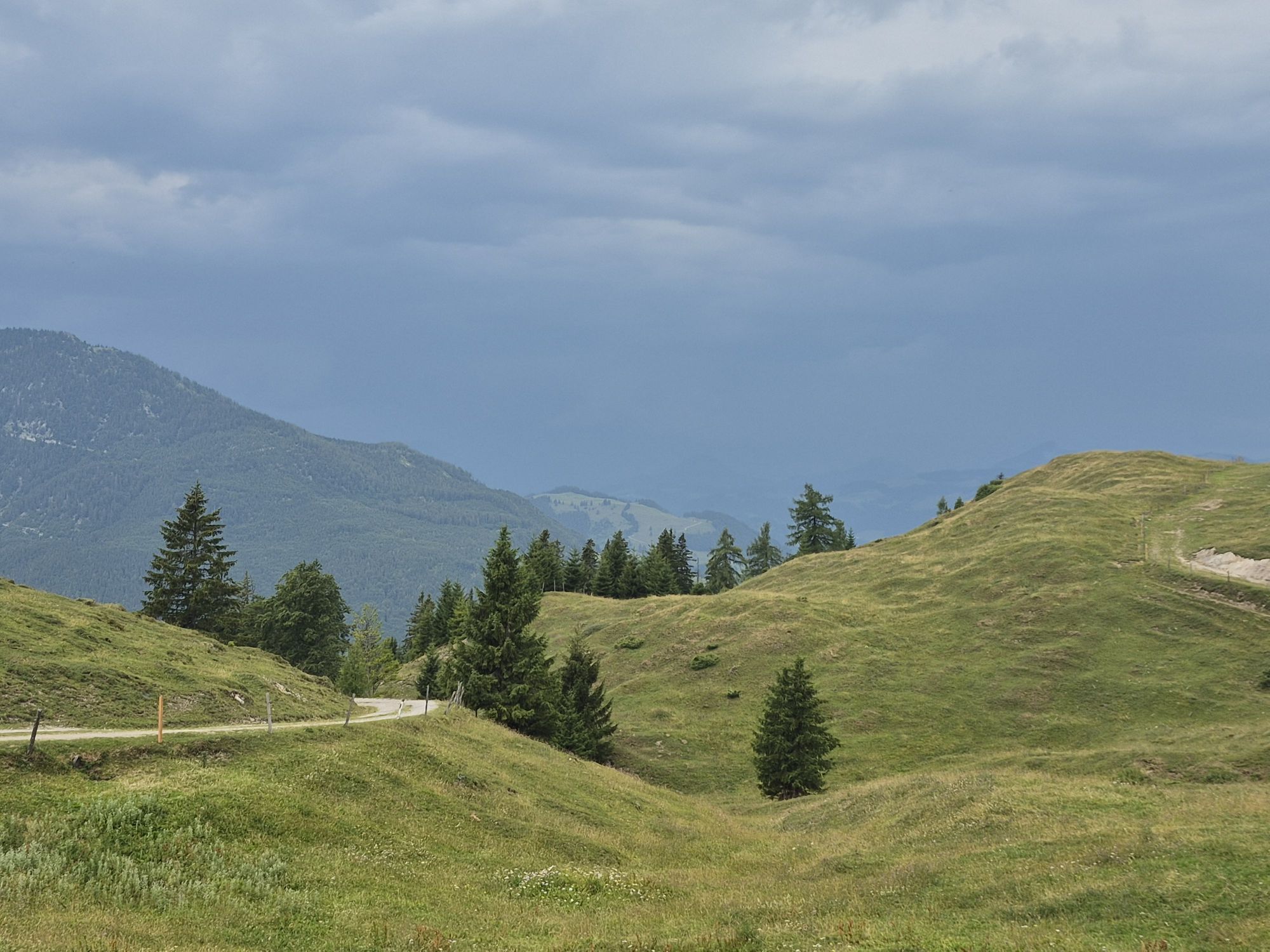
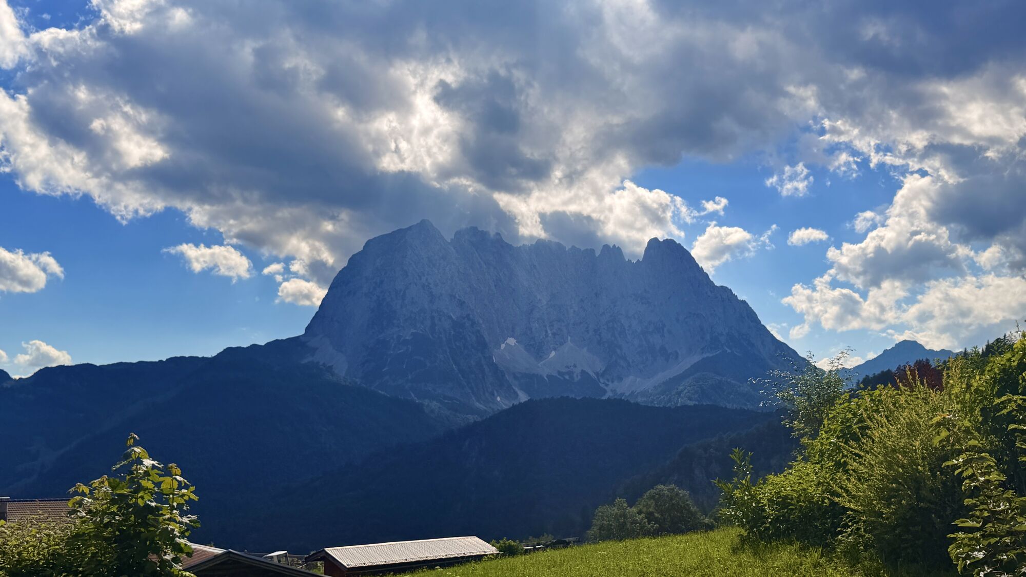
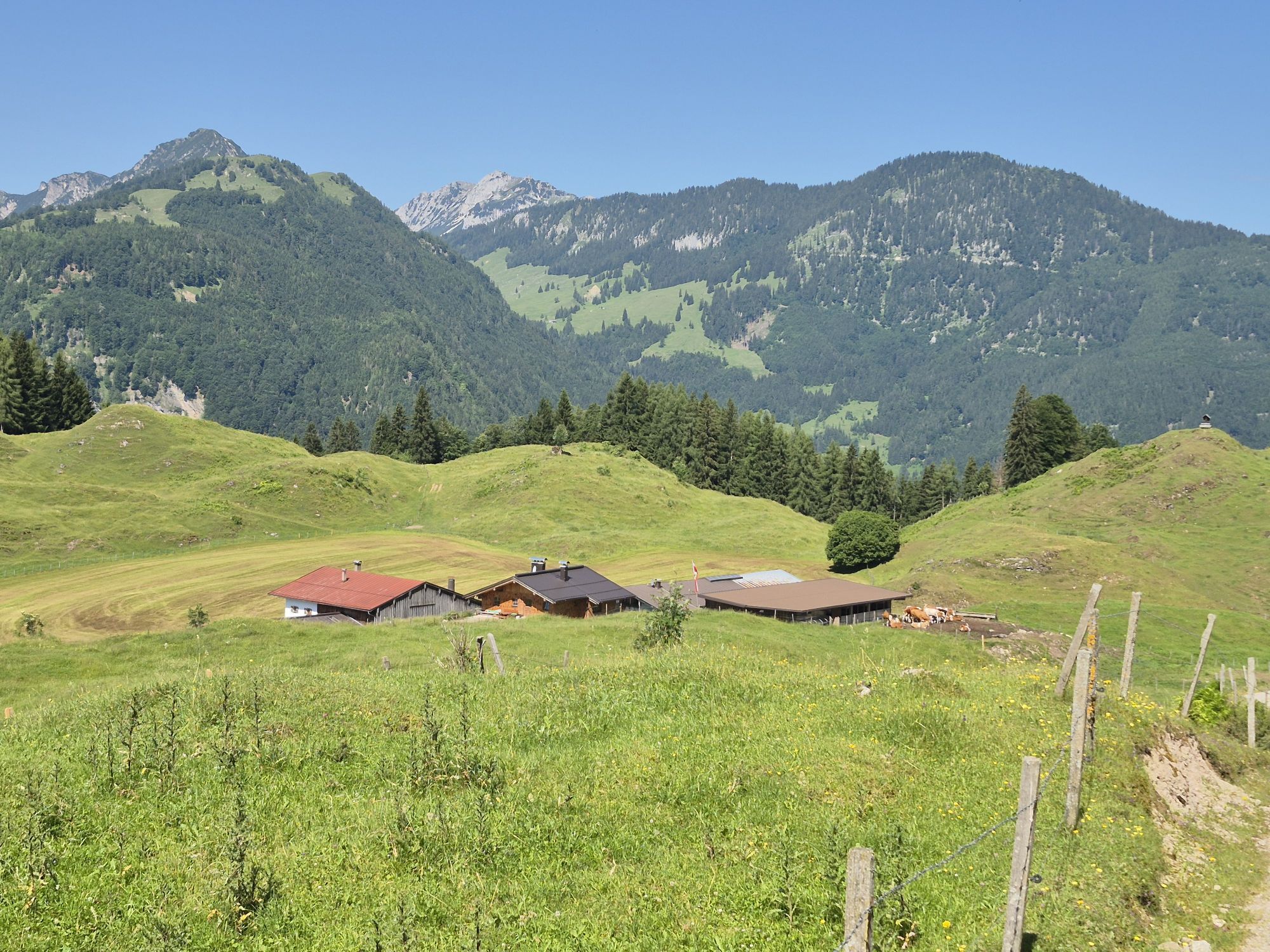
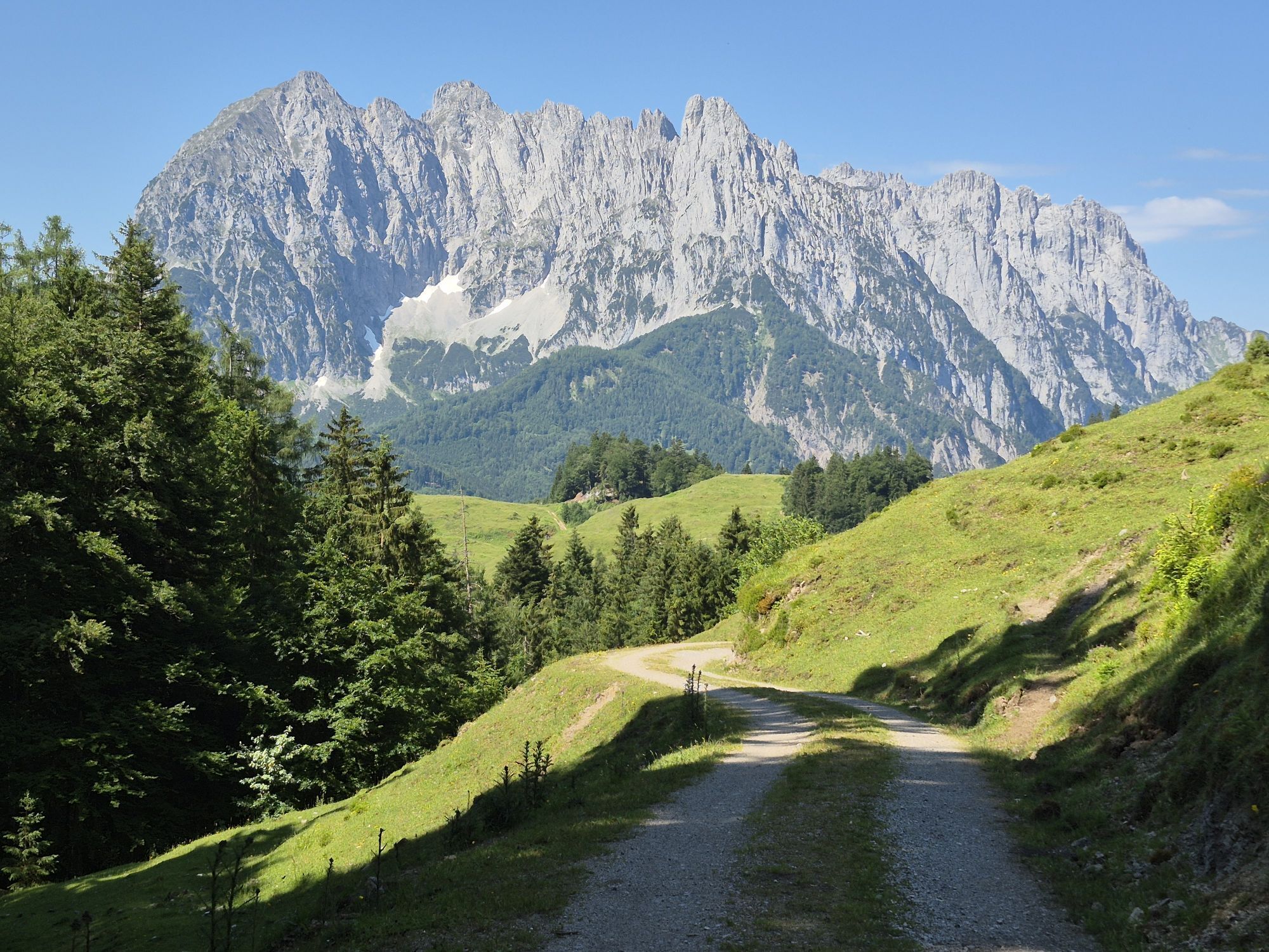
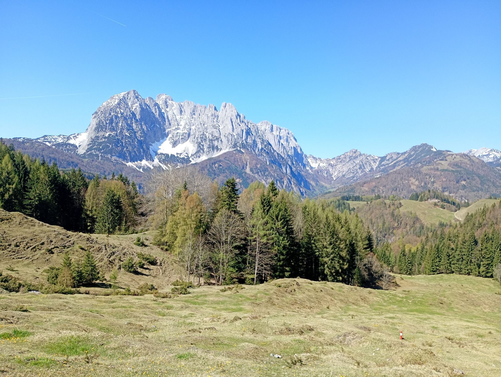
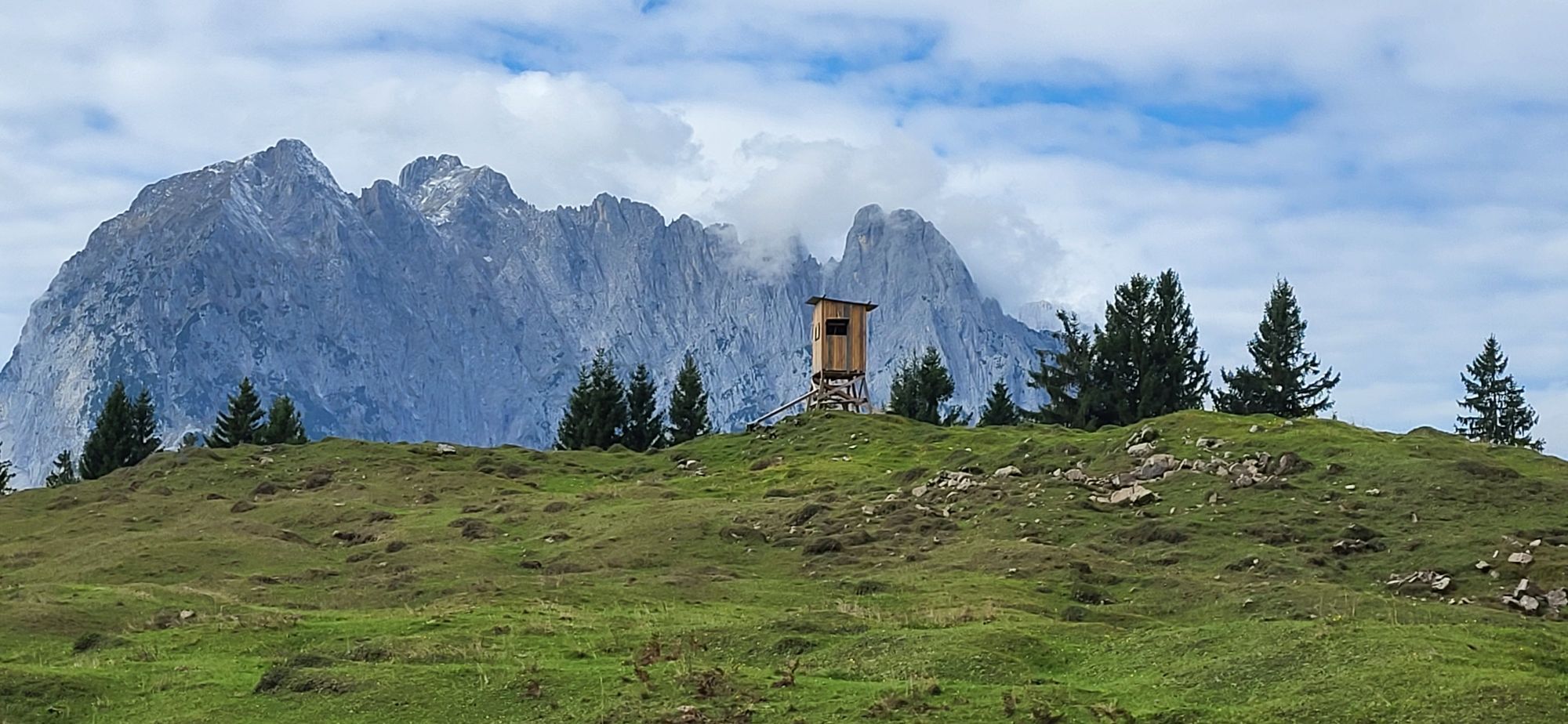
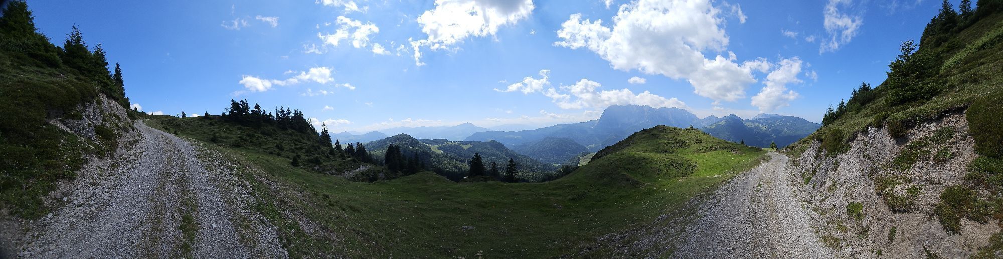
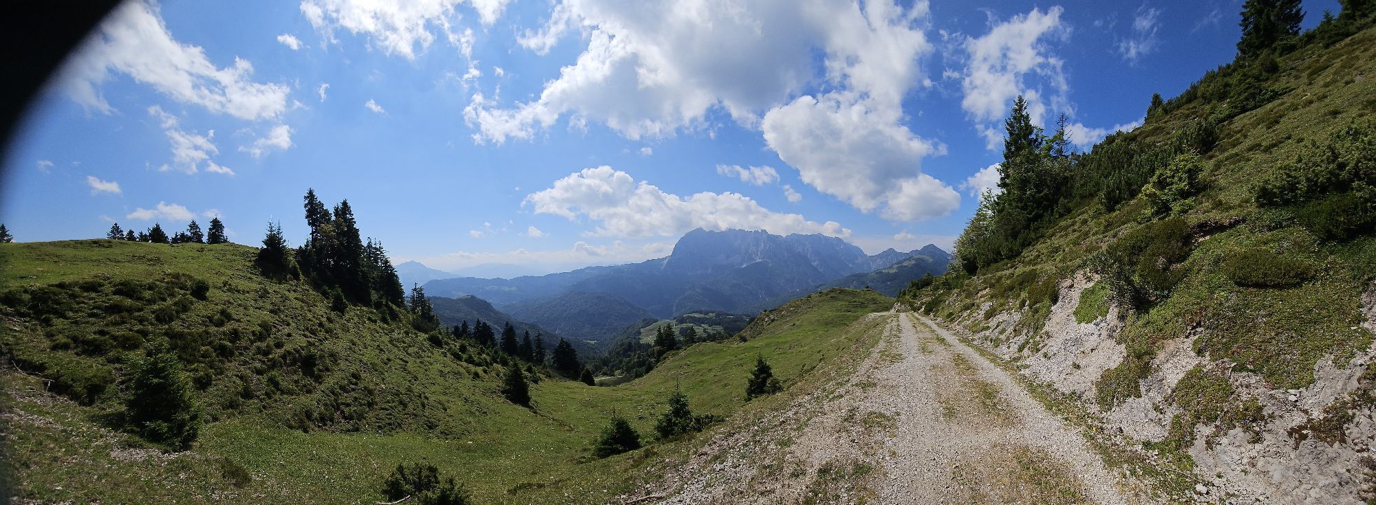
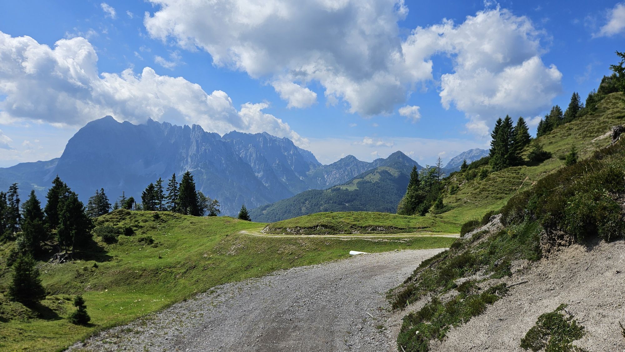
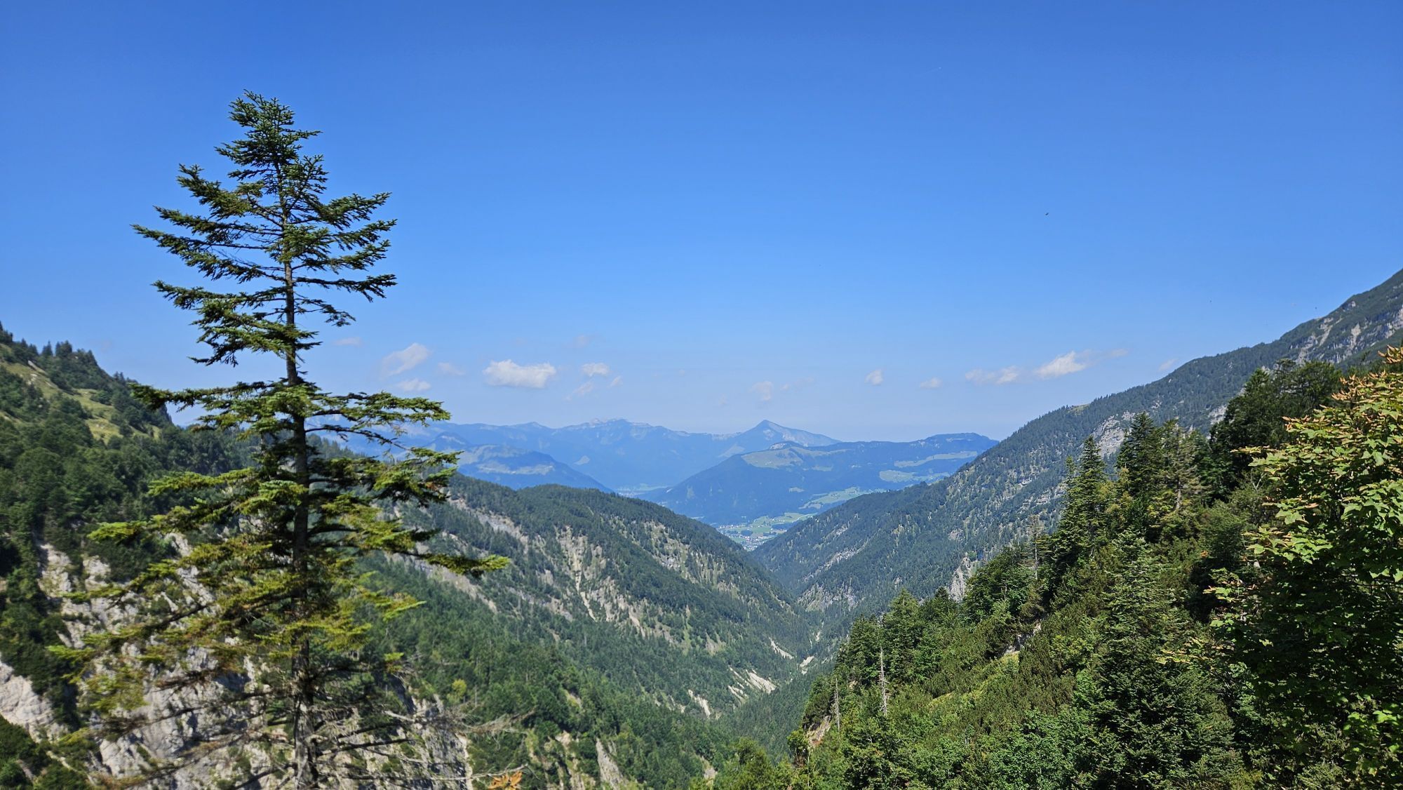
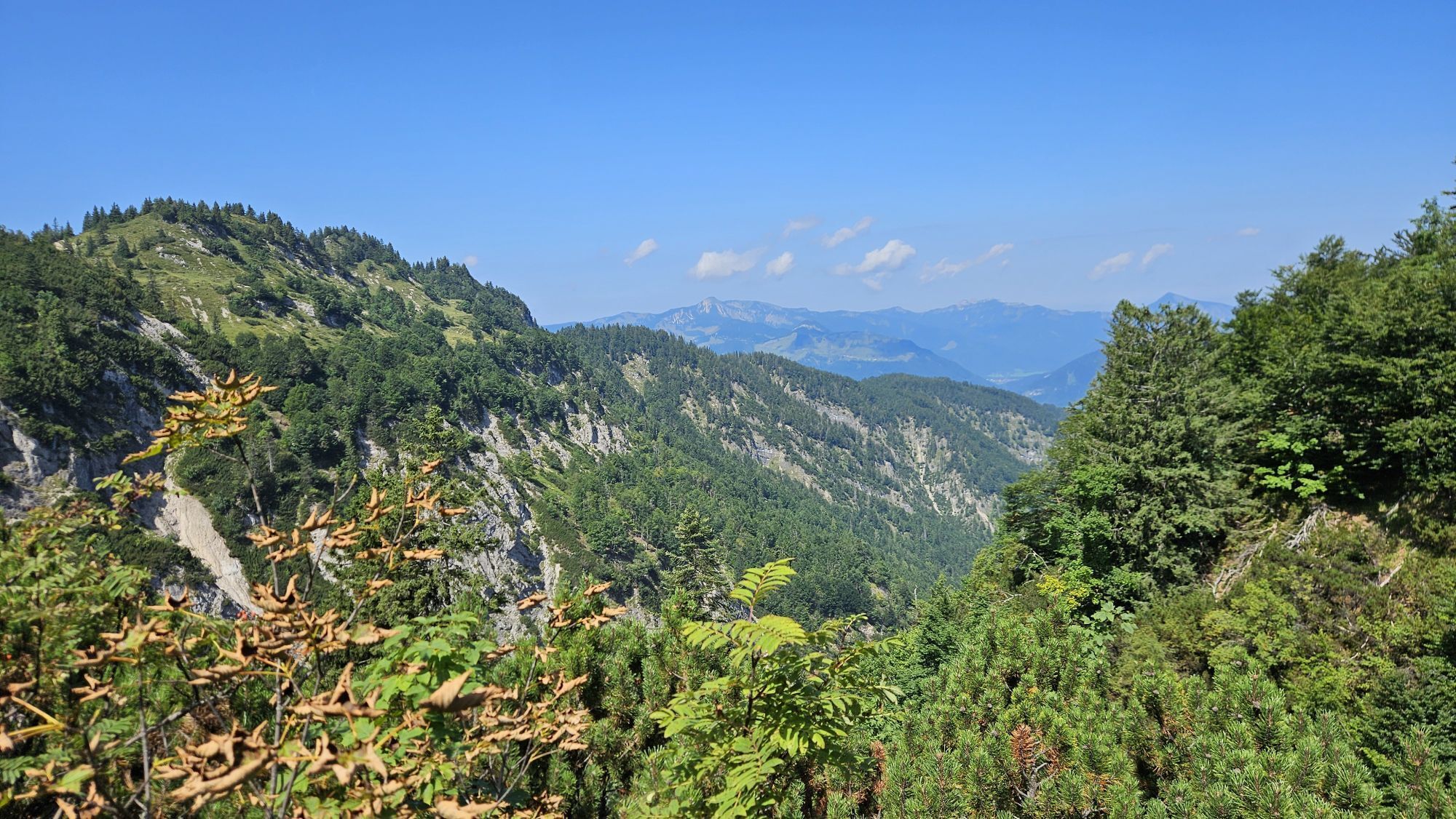
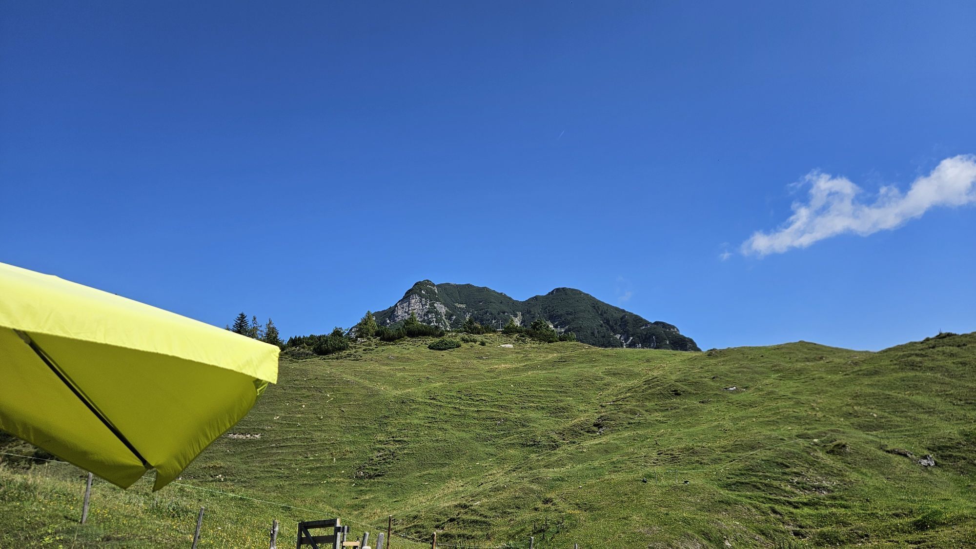
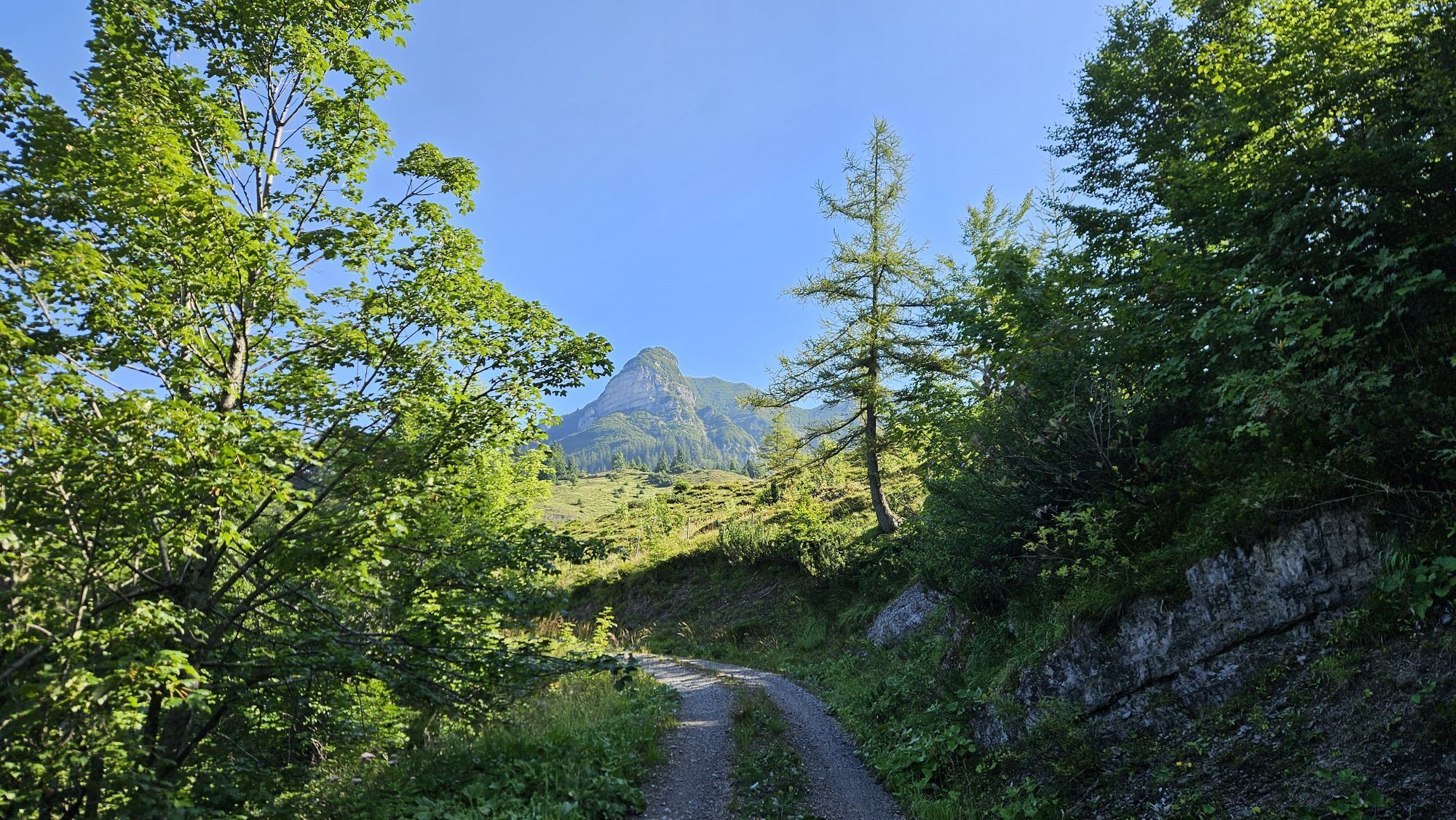
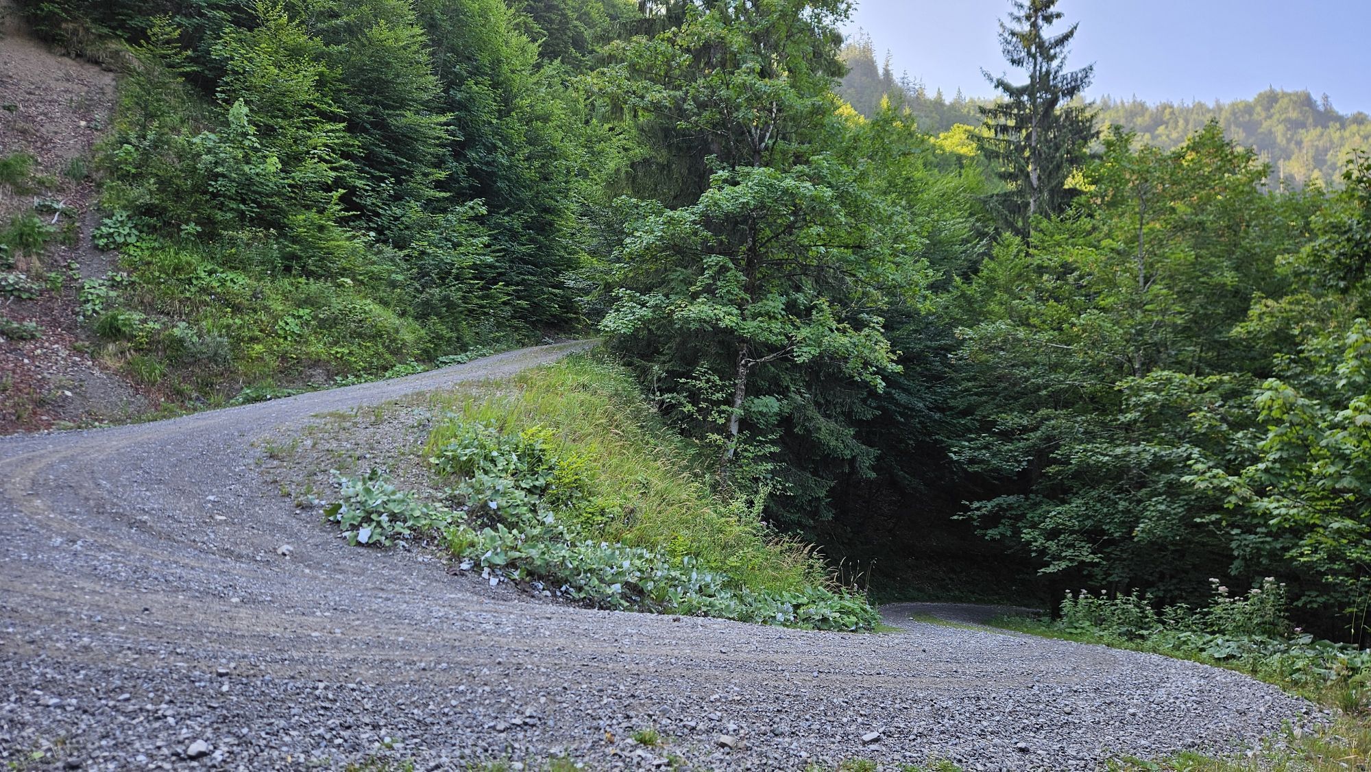
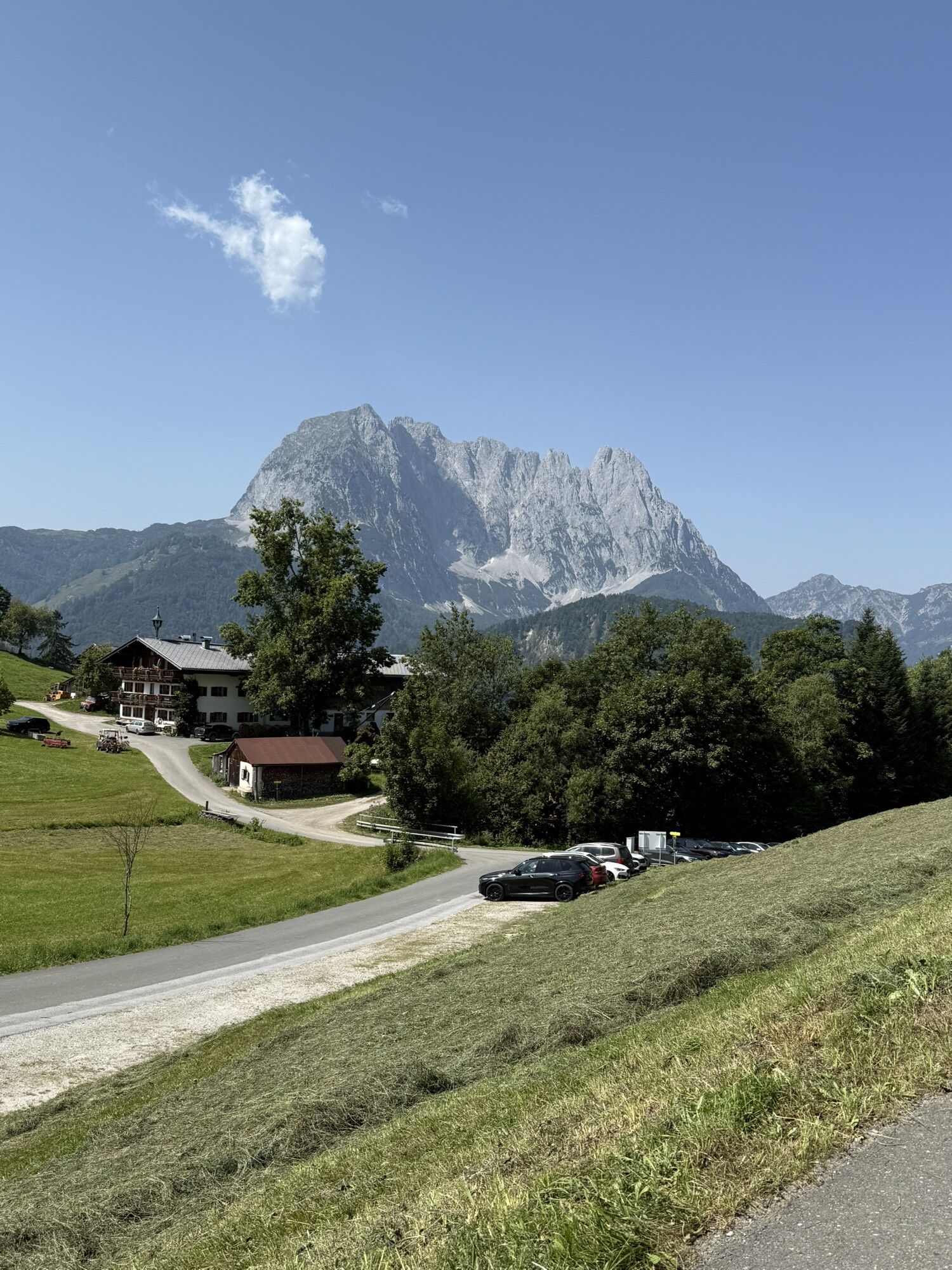
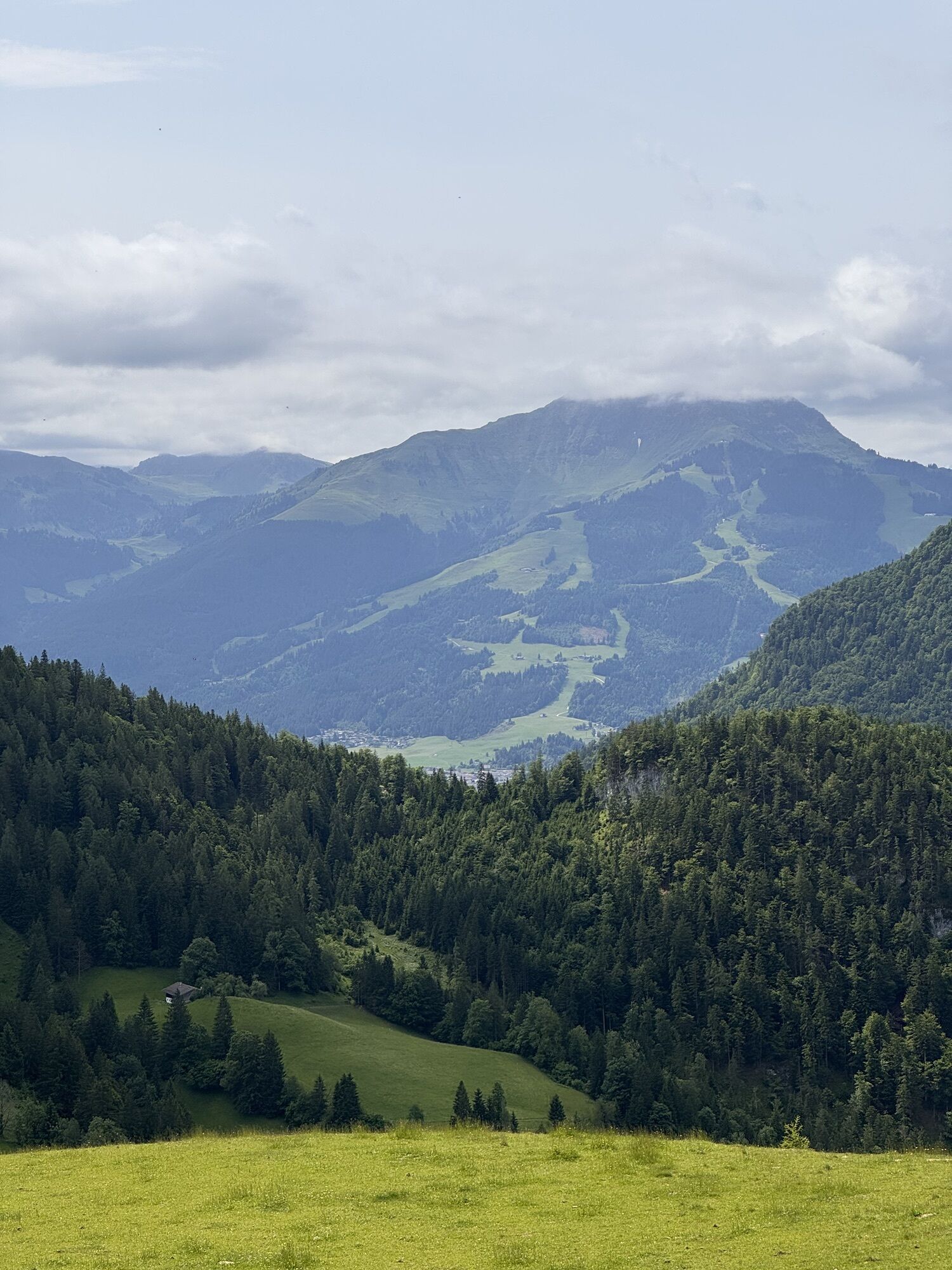
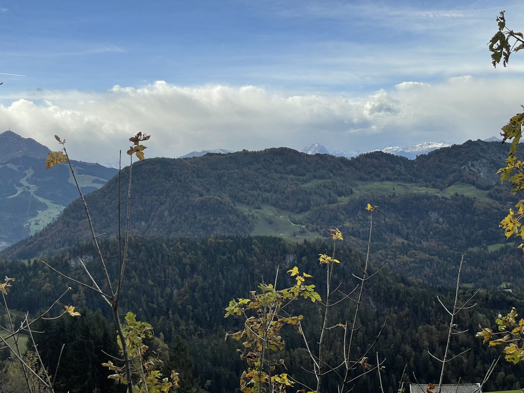
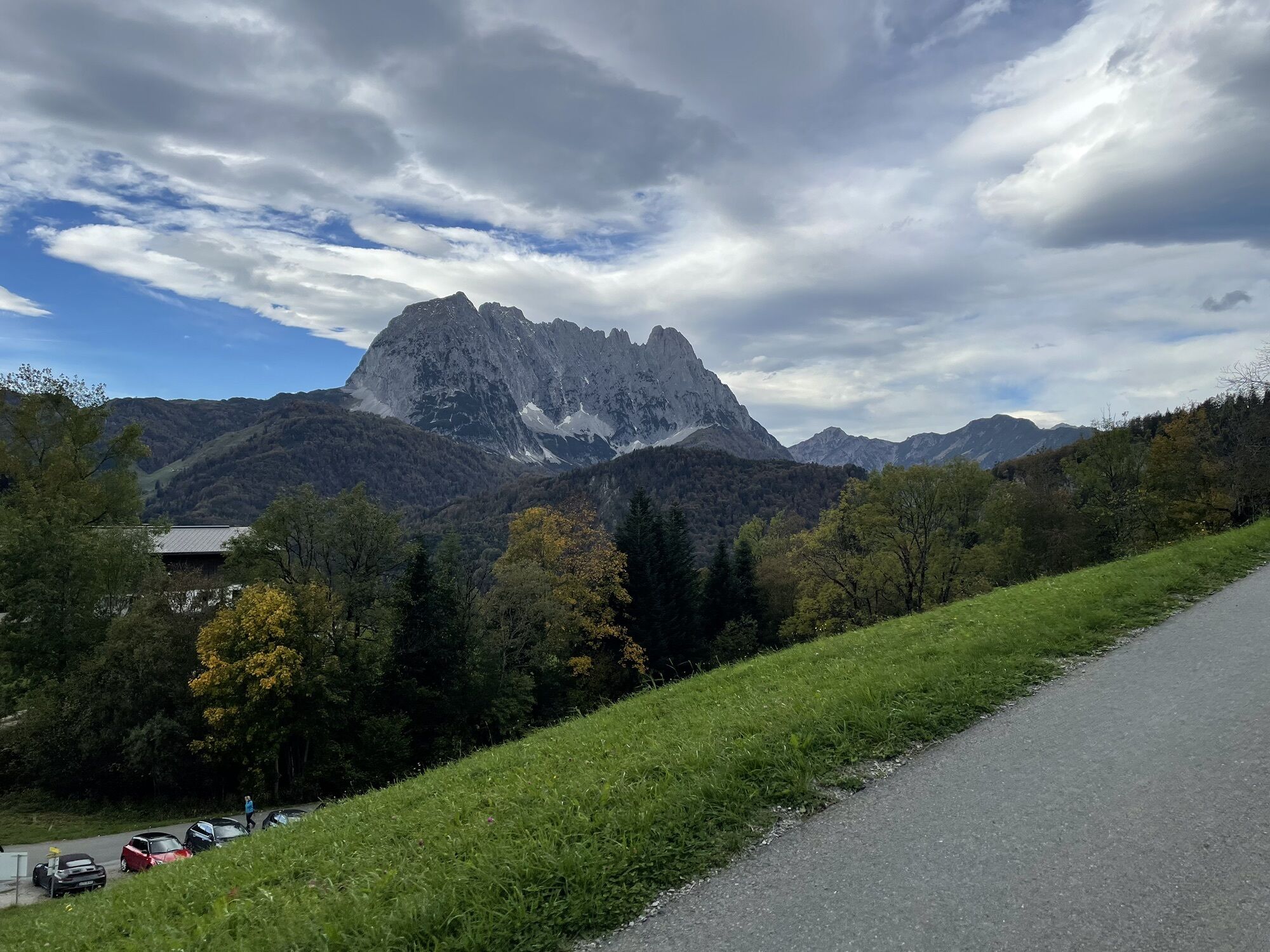
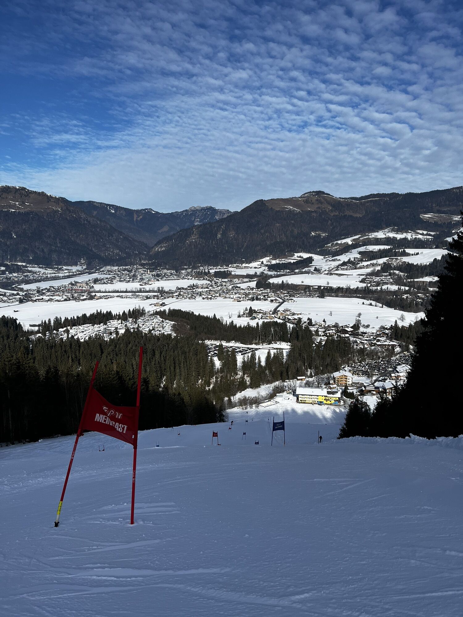
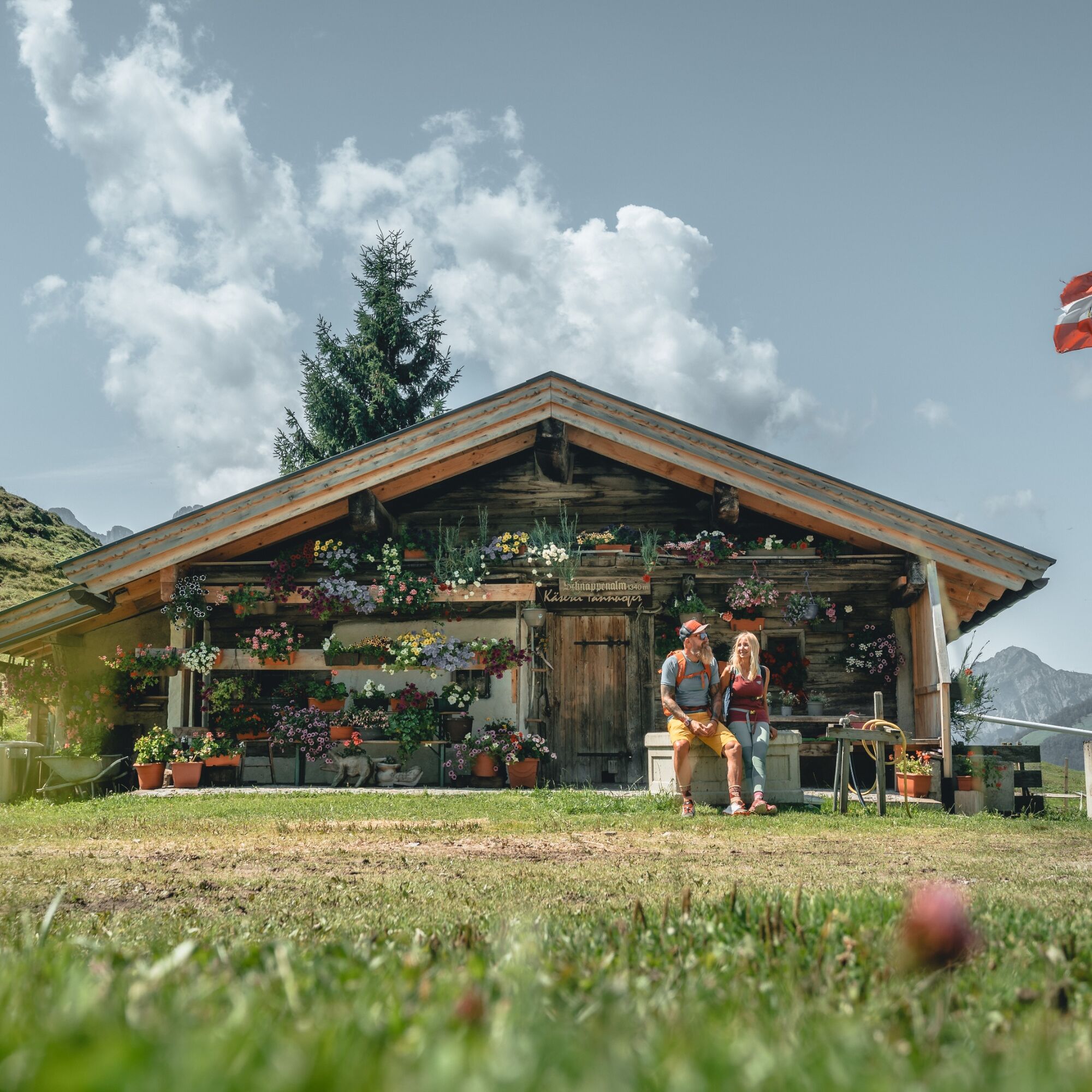
Over lonely alpine pastures and areas inhabited since time immemorial with rock carvings on the face of His Majesty the Wilder Kaiser
Be quiet! On lonely paths over lonely alpine pastures to ancient mountain...
Be quiet! On lonely paths over lonely alpine pastures to ancient mountain farming settlements - all this is offered by this opening stage of the Alpina Antica Trail. Paths that in times long past have always sought out the muleteers, after centuries ago the trade routes often did not lead directly through the valleys as here past the Griesenau due to the vegetation, but one floor higher over the alpine pastures. Because these were easier to walk and always offered good places to stop for refreshments in summer. These are still available today for you as a hiker on this stage. And also a view of superlatives of the wild Wilder Kaiser and, on a clear day, even of the glaciated three-thousand-metre peaks of the Hohe Tauern. You have this view just like the muleteers, but you can certainly enjoy it more with light luggage than the traveling salesmen centuries ago.


Follow the alpine road to the first sign for “Alter Lackweg”. Either stay on the alpine road – or take the shorter, more scenic route via the “Alter Lackweg” through a beautiful beech forest to just before the Lackalm, whereby you will have to cross the alpine road several times. Continue to the next fork in the path. Here, keep right towards Schnappen – Lackalm No. 71. You will soon reach the Lackalm, which is open in summer.
From here, head south-west, initially across alpine meadows and later along a path, to the highest point of the stage. Here the path joins the alpine road, where you keep left towards Stubenalm – (Lower) Schnappenalm No. 71. The views of the northern slopes of the Wilder Kaiser and even the glaciated three-thousand-metre peaks of the Hohe Tauern and the Reichenspitz Group are breathtaking! Passing the Lower Schnappenalm, which is partially open in summer, you continue your descent towards Kohlental (No. 72) until a hiking trail branches off towards “Stubenalm” (No. 72).
This is where the shorter main route and the longer variant, which takes you to the Stubenalm, diverge:
The variant, which is a good hour longer but very beautiful, leads down the hiking trail to the Stubenalm (after a few metres, don't miss the smaller path down to the left). Before the Stubenalm, you will reach an alpine road, which you follow to the left until you come to another fork in the road. Take the forest road on the right down towards ‘Gasteig’ (No. 5), through the Schnappengraben, until just after the next small ditch on the left, where a hiking trail branches off towards ‘Sprissleralm’. Follow this path uphill through the forest and then across alpine meadows for 45 minutes until you reach the Sprissleralm where the main route and the longer variant rejoin.
Here turn right for a few metres up towards "Hinterberg/Gasteig", then without loss of altitude over alpine pastures and finally descend through forest to an alpine road. This alpine road soon descends into an asphalt road and leads through the scattered settlement of Hinterberg to a right-hand bend and the hikers' car park.
Opposite the car park, turn left and immediately right again on an alpine road towards "Gasteig/Kirchdorf". Follow this for quite a while until a hiking trail branches off to the right in the direction of "Gasteig/Kirchdorf" (centuries-old rock carvings have been found in the forest nearby, which testify to a very long settlement of Hinterberg). Partly very steep down this hiking trail until the hiking trail branches off to the right in the direction of Gasteig, which leads very steeply to the first houses of Gasteig. Here the paths branch off for the last time: You follow the right path past a beautiful old farm and now descend across the meadows to Gasteig to the end of the stage at Café Hautz (between Erikastüberl and Jagdschlössl).
T2
Admittedly, this highlight has nothing to do with hemming. But the mountain landscape with its partly managed alpine pastures is always a highlight!
Hinterberg (47.57290898898472, 12.422357034645989)
An ancient agricultural settlement in a high valley, which until a few decades ago was only accessible by footpaths.
Webcams del recorrido

Rutas populares en los alrededores
-
4,7
Kirchdorf: Zur geheimnisvollen Teufelsgasse
medioSenderismo 7,90 km -
4,9
Kirchdorf: Kaiserbachtal - Stripsenkopf und Feldberg
pesadoSenderismo 12,6 km -
4,3
Erpfendorf: Griesbachklamm
medioSenderismo 10 km -
4,9
Schleierwasserfall Runde
medioSenderismo 5,63 km -
4,9
Gruttenhütte über Klammlweg
medioSenderismo 5,61 km -
5,0
Priener Hütte
medioSenderismo 7,99 km -
4,4
Kitzbüheler Horn über Horn-Gipfel-Höhenweg
medioSendero temático 5,30 km -
5,0
Kirchdorf: Stripsenjoch Klettersteige
pesadoVía ferrata 3,76 km -
4,8
Ellmauer Tor (22.07.2020)
medioSenderismo 9,32 km -
4,8
Stripsenjoch Klettersteige/ Rundwanderung von Griesener Alm über Stripsenjochhaus und Feldberg
medioVía ferrata 10,2 km
Senderismo y rastreo


No se pierda las ofertas y la inspiración para sus próximas vacaciones
Su dirección de correo electrónico se ha añadido a la lista de correo.





