






Gruttenhütte circuit
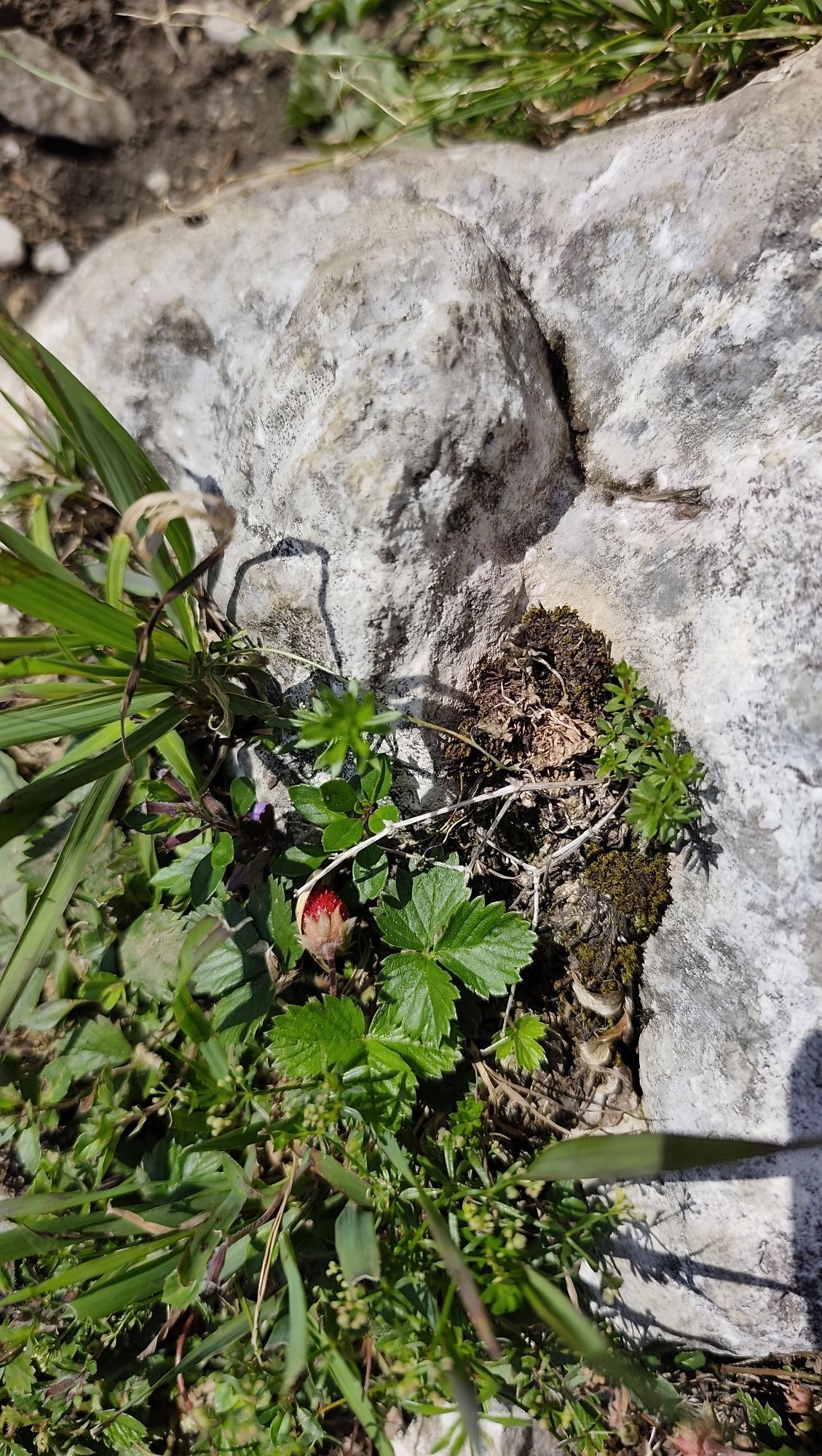
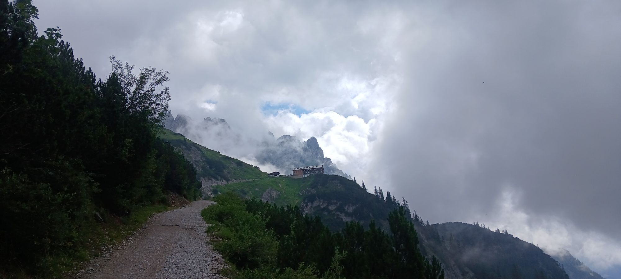
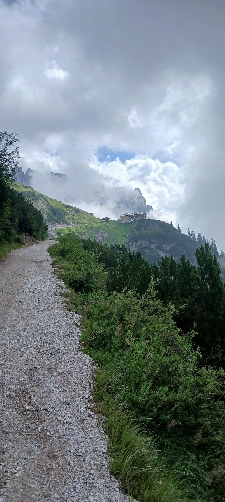
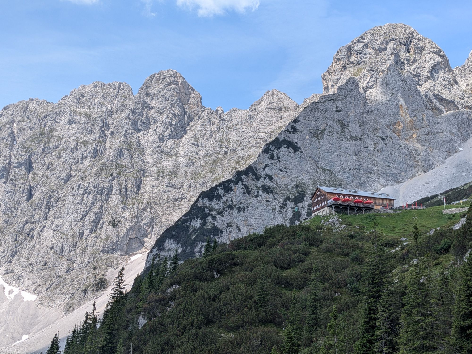
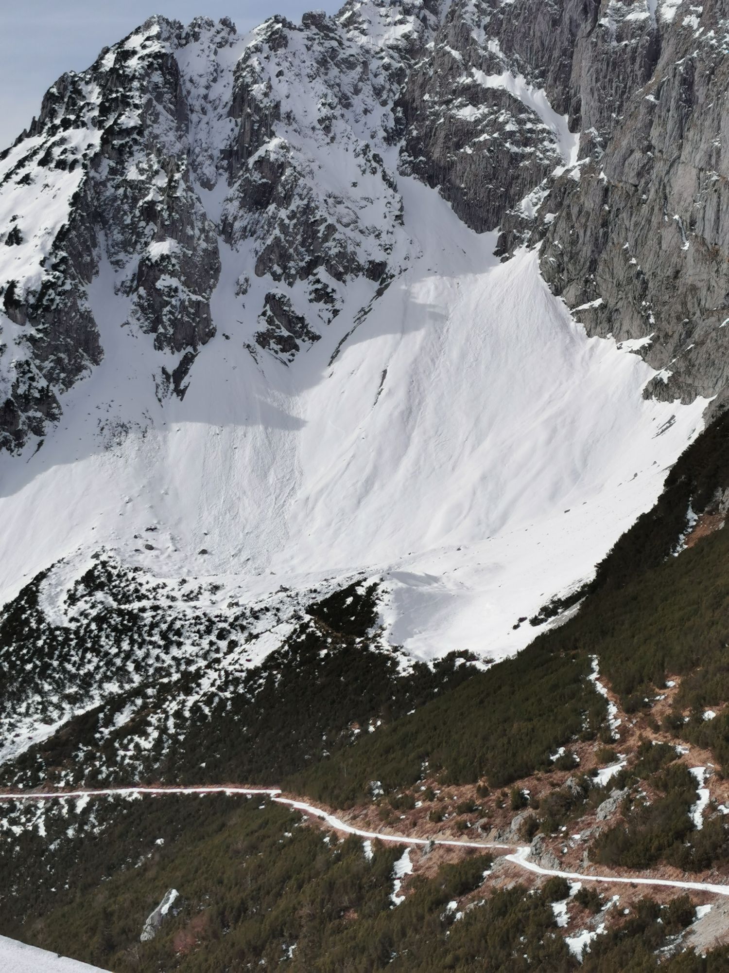
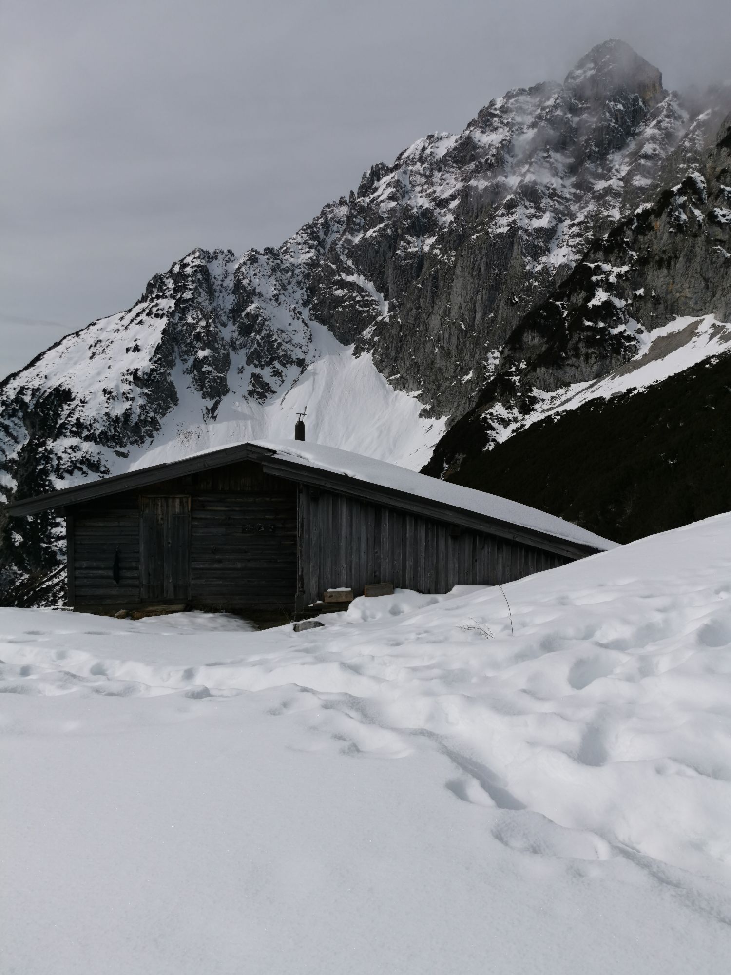
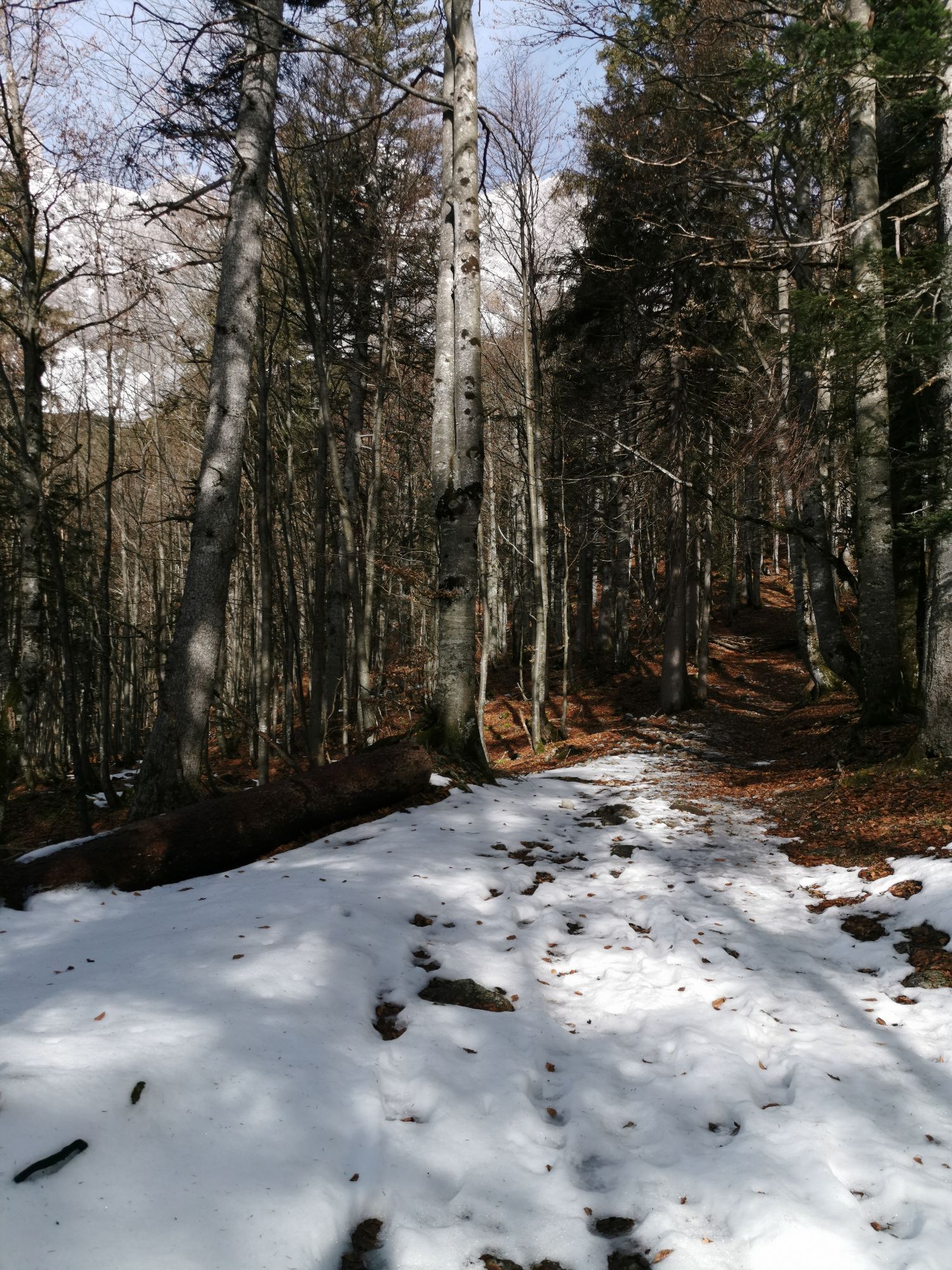
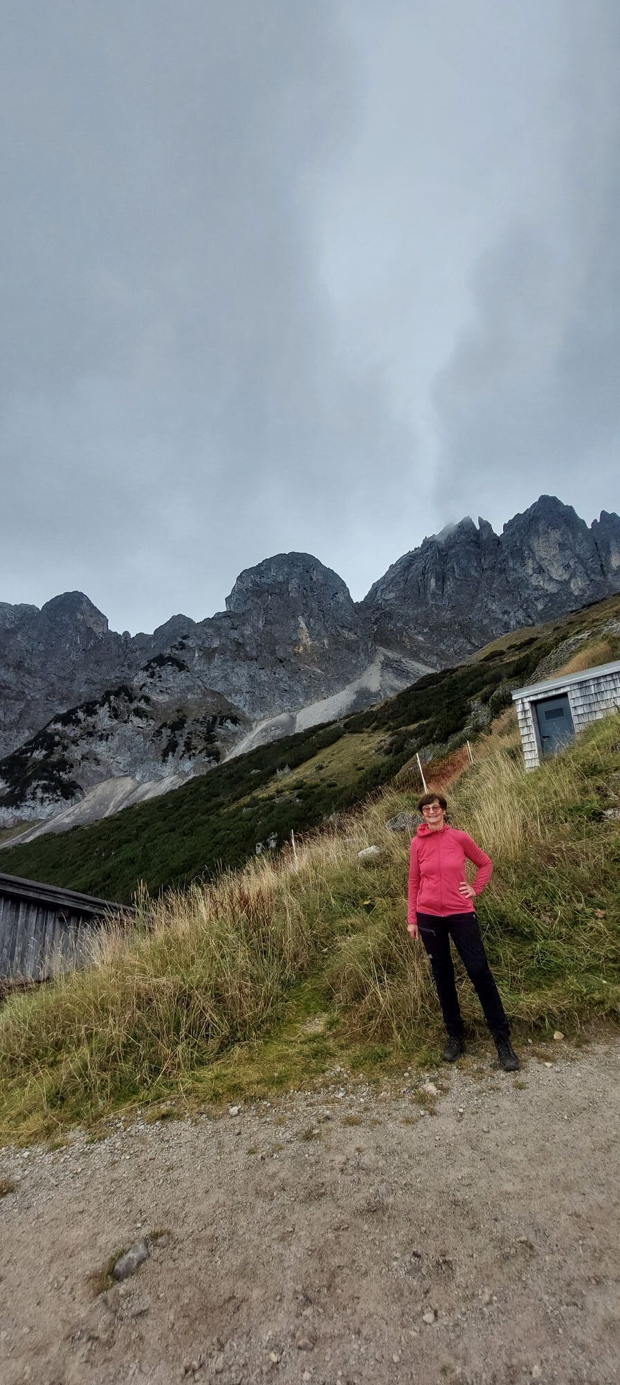


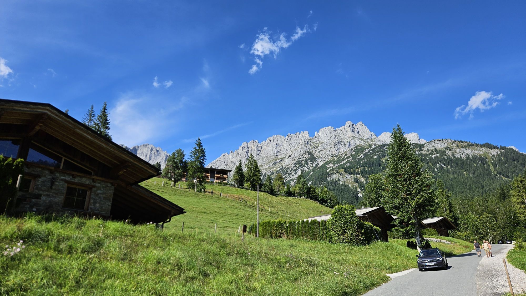
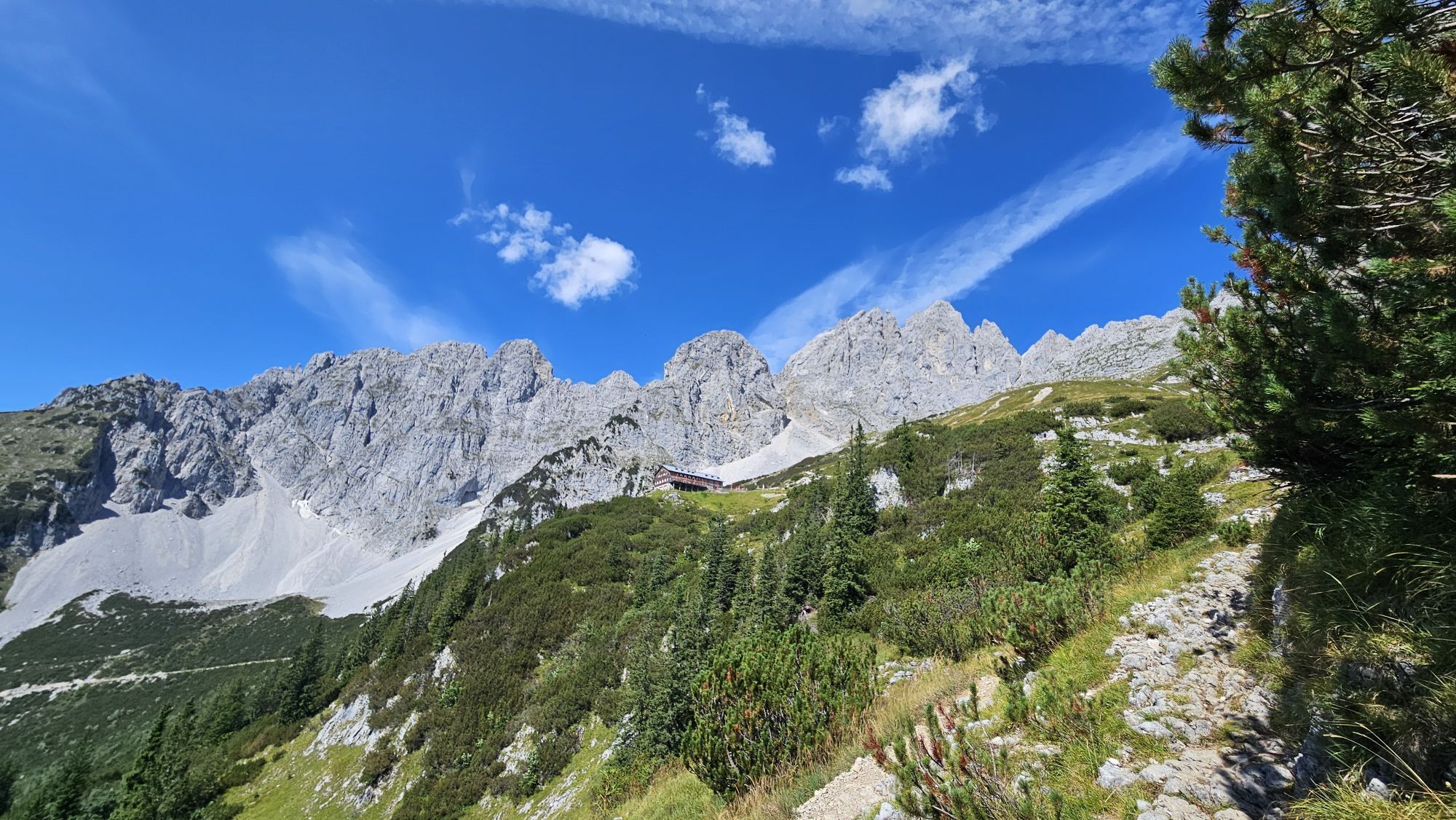
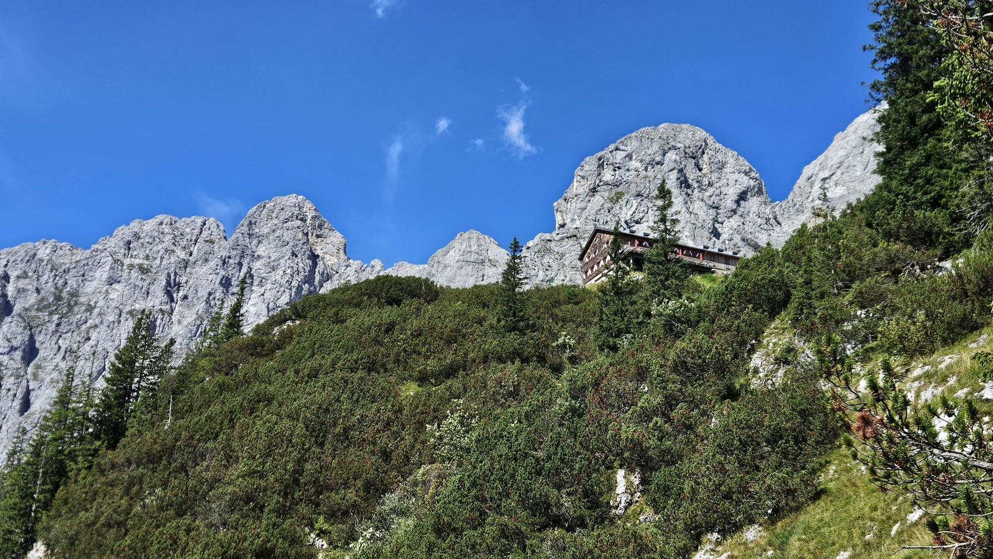
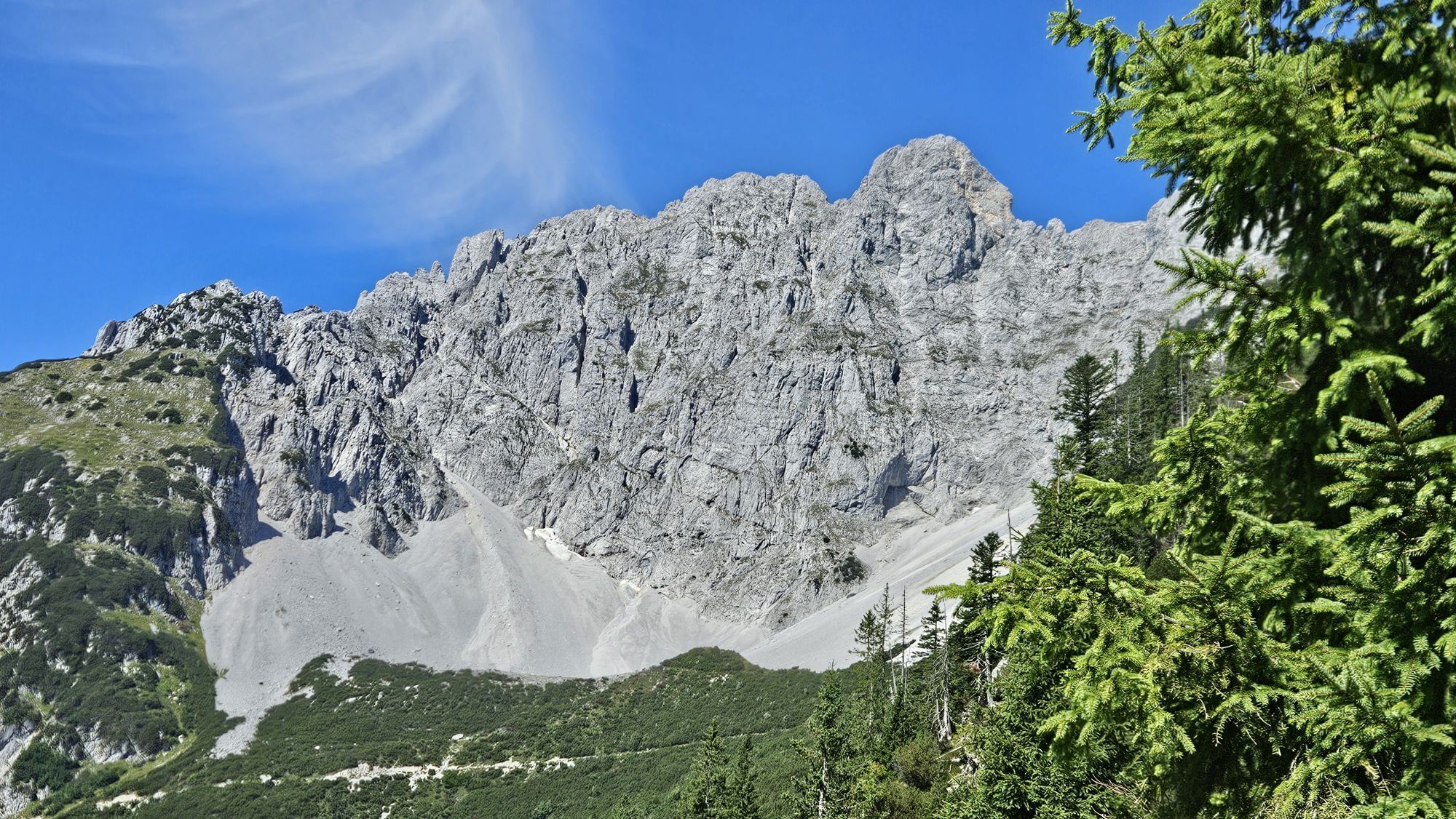
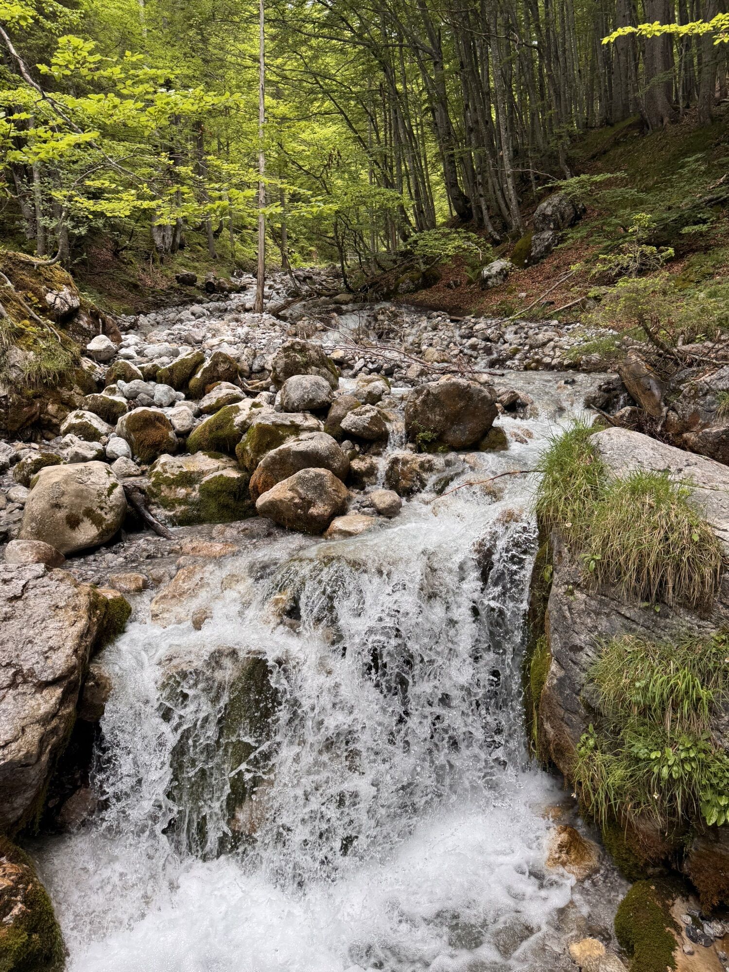
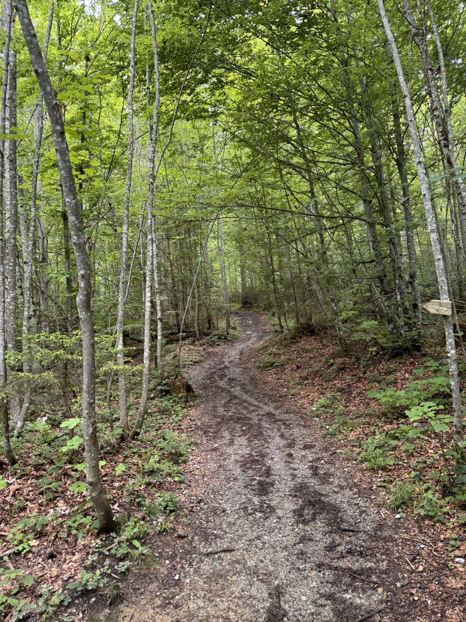
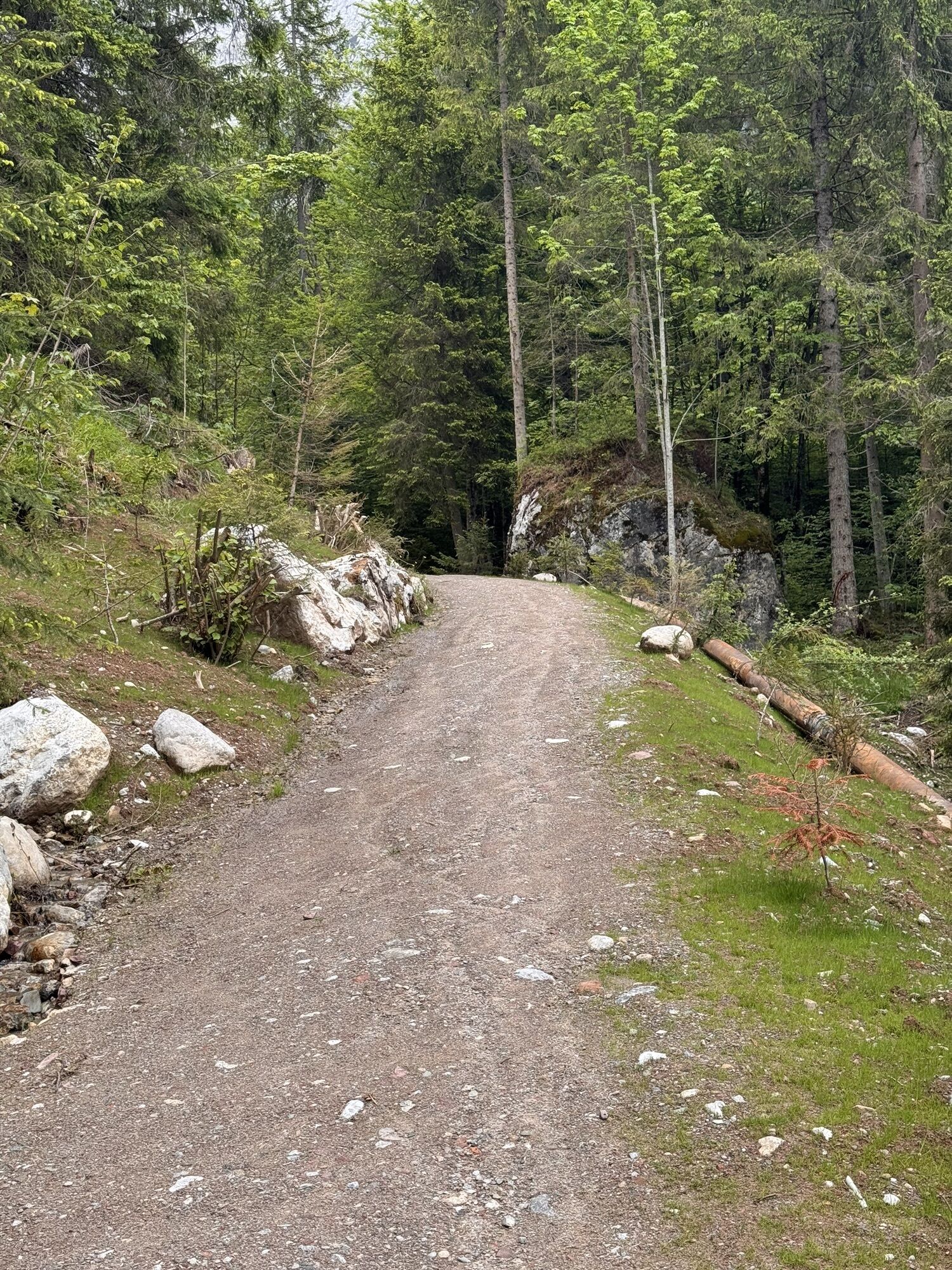


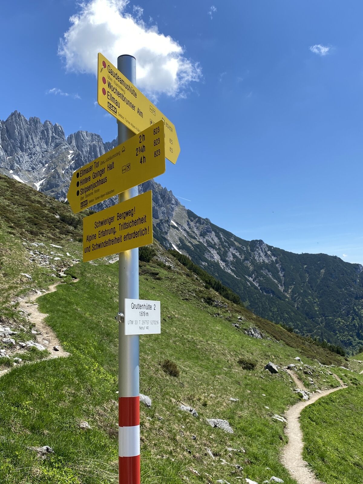
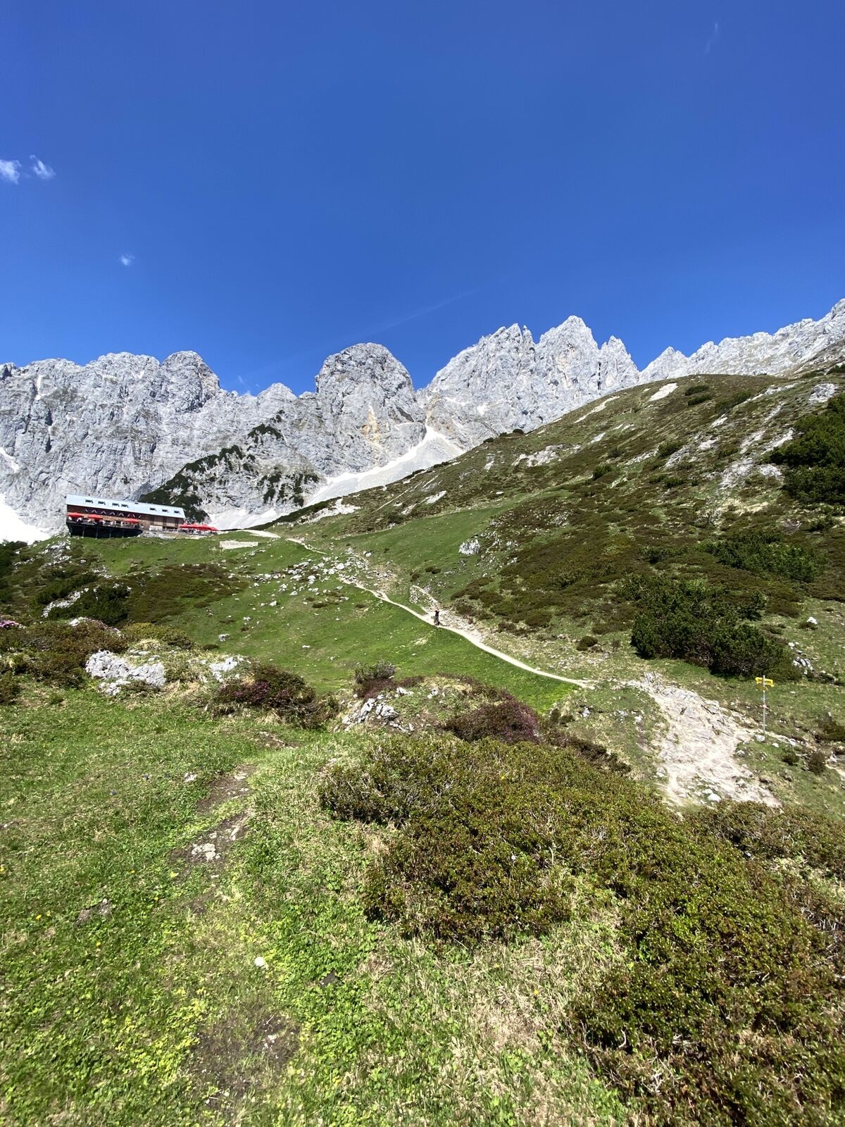
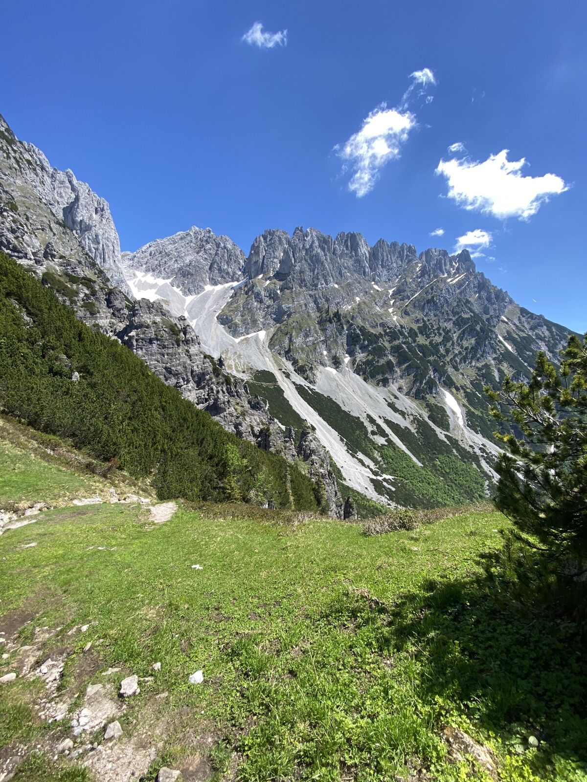
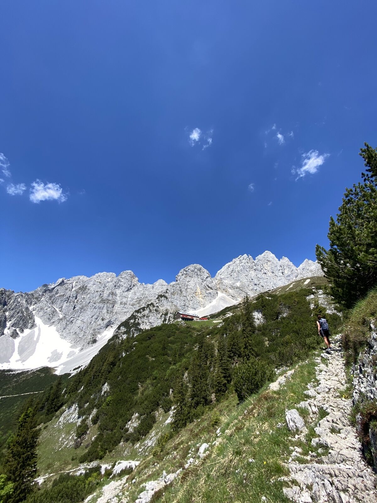
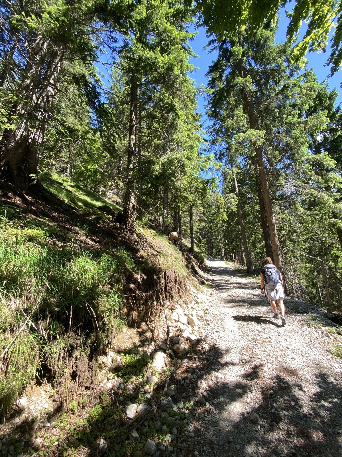
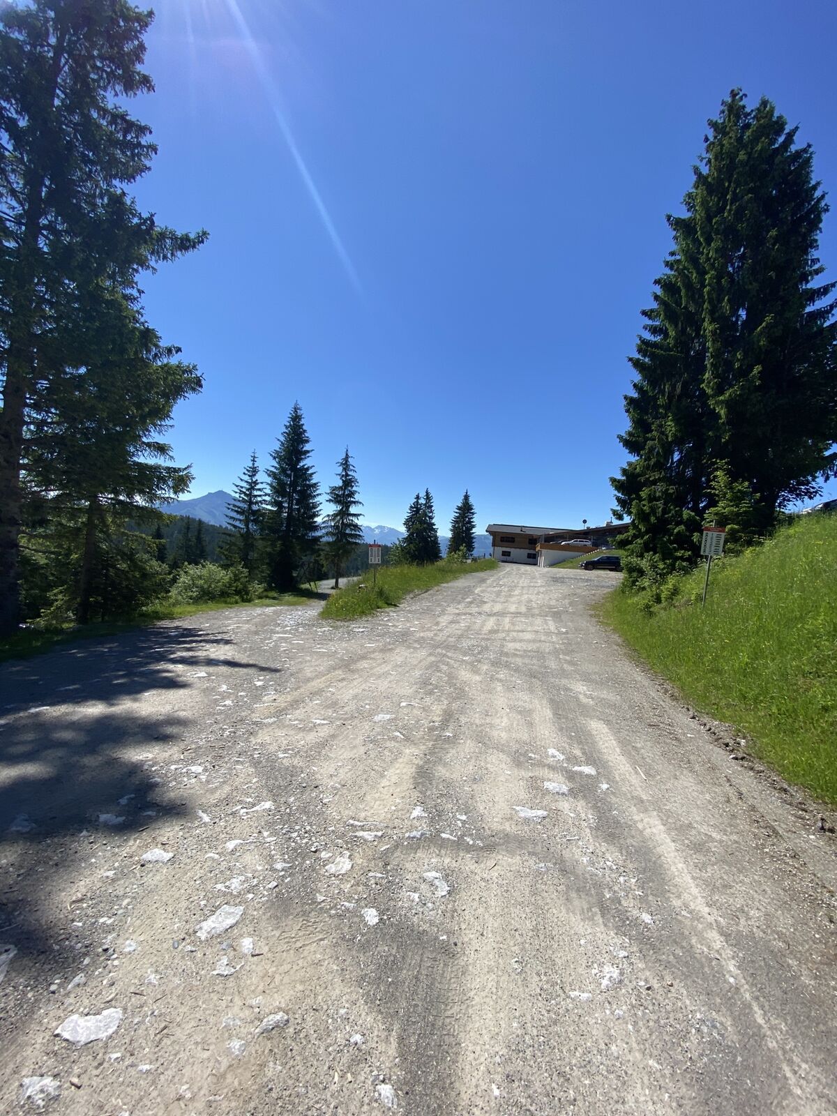
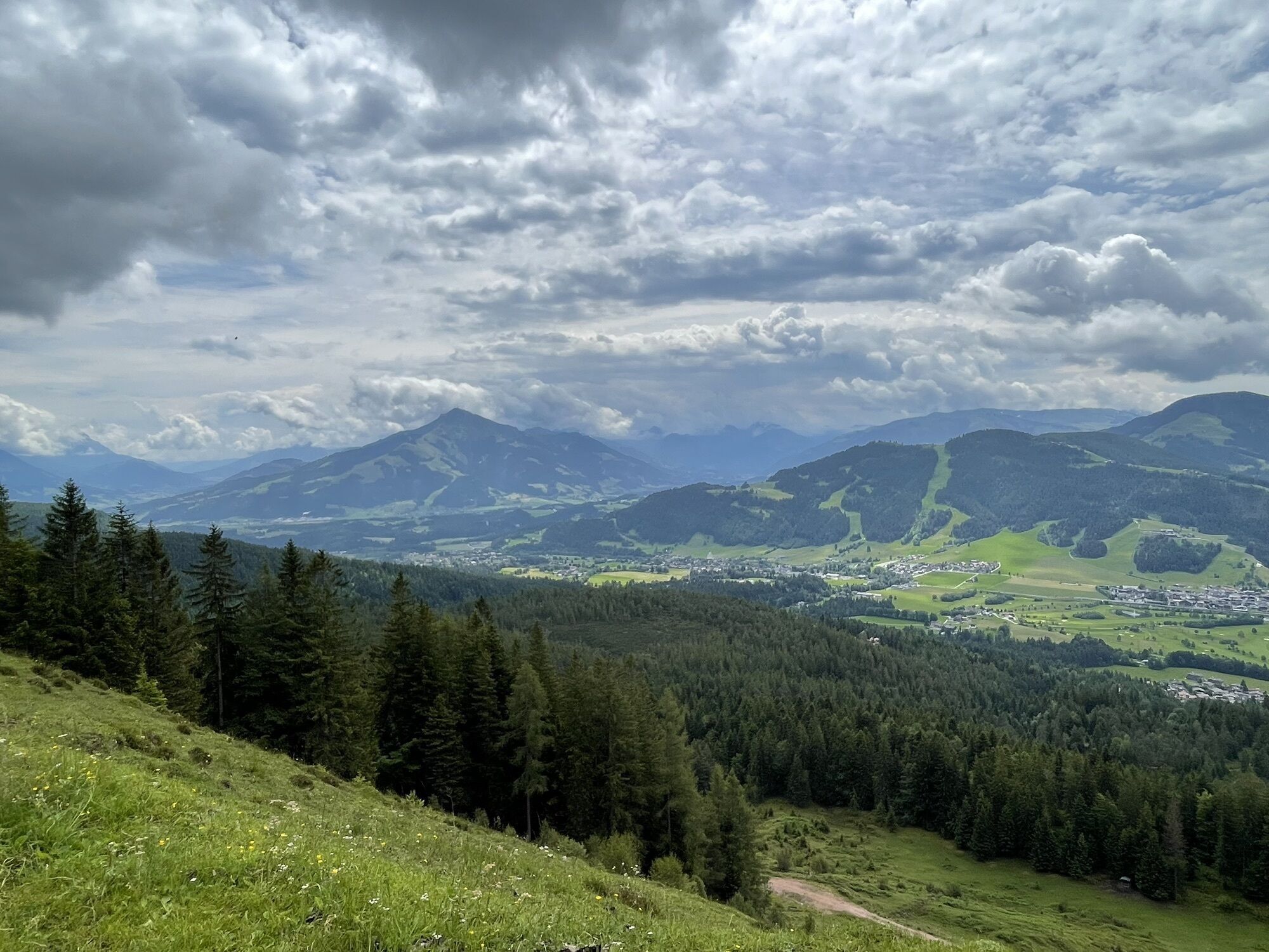
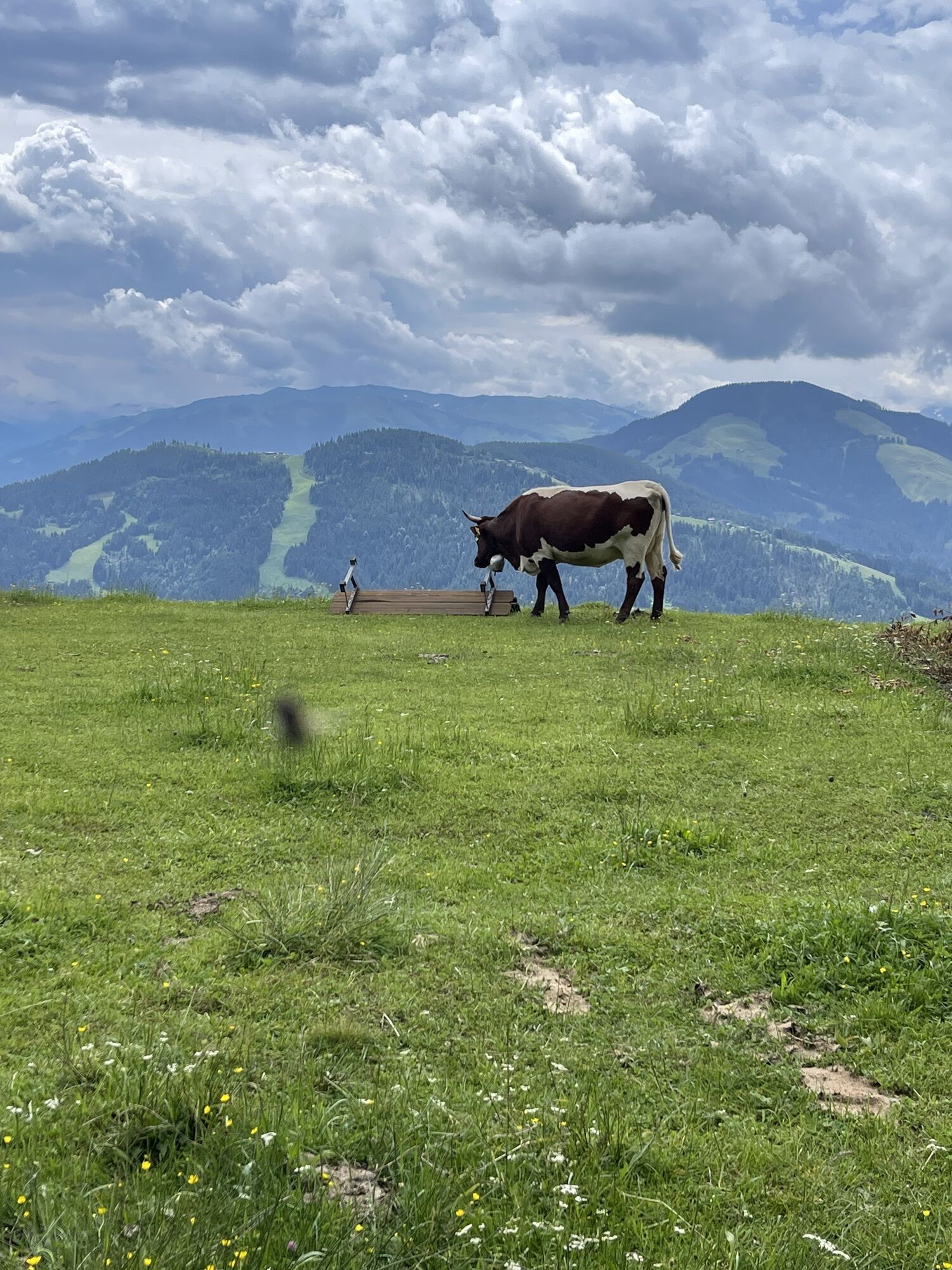
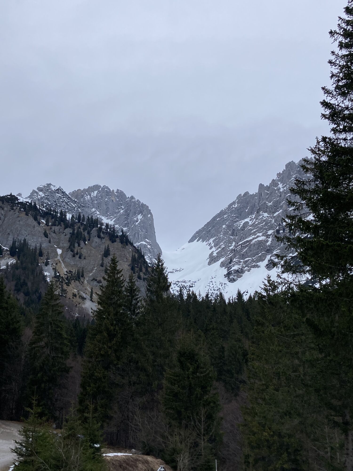
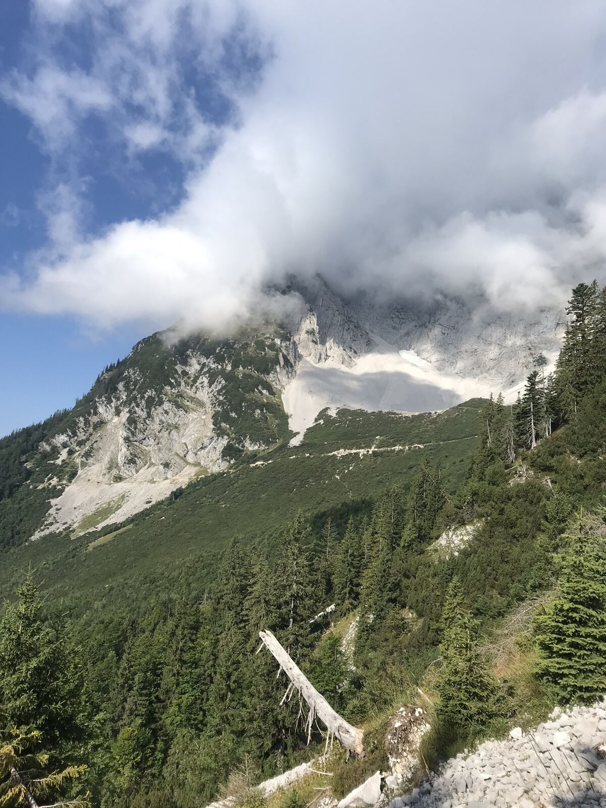
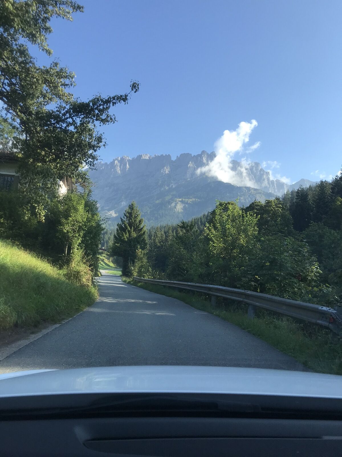
This demanding mountain hike starts in the village centre, directly at the hiking info point. Pass to the left of Ellmau Tourist Information Office and cross the main road, hiking along the 27-hole golf...
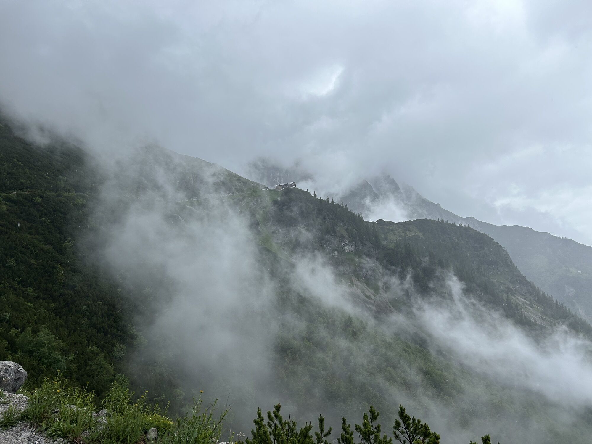
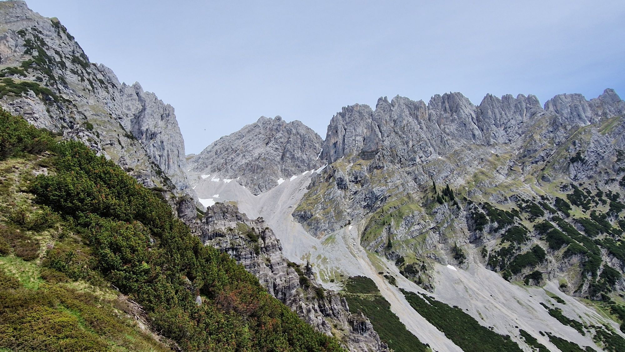
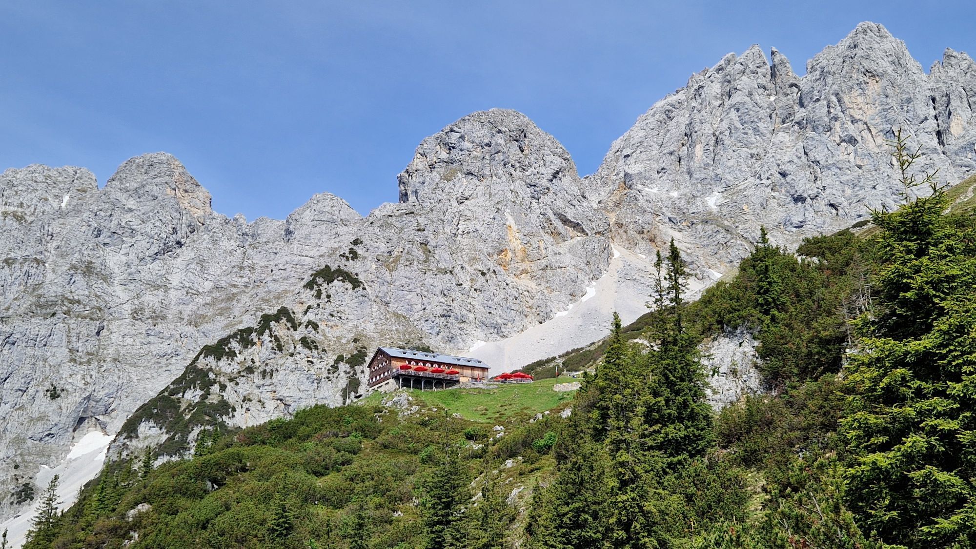
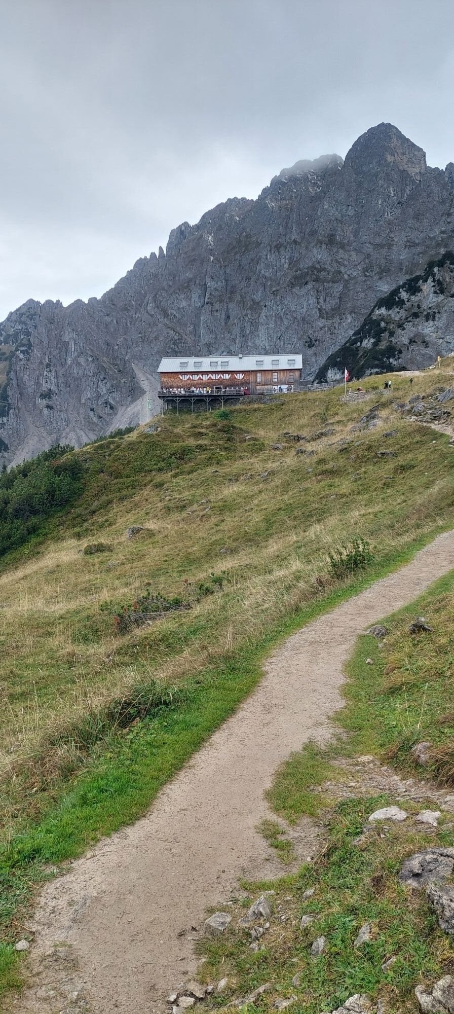
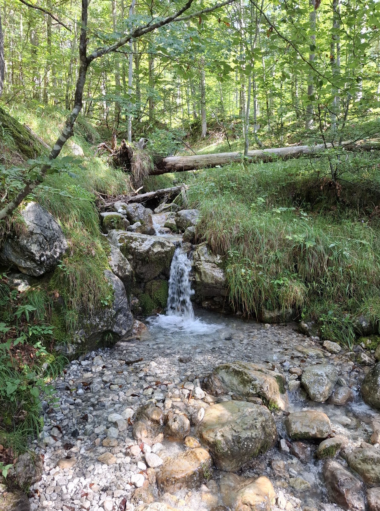
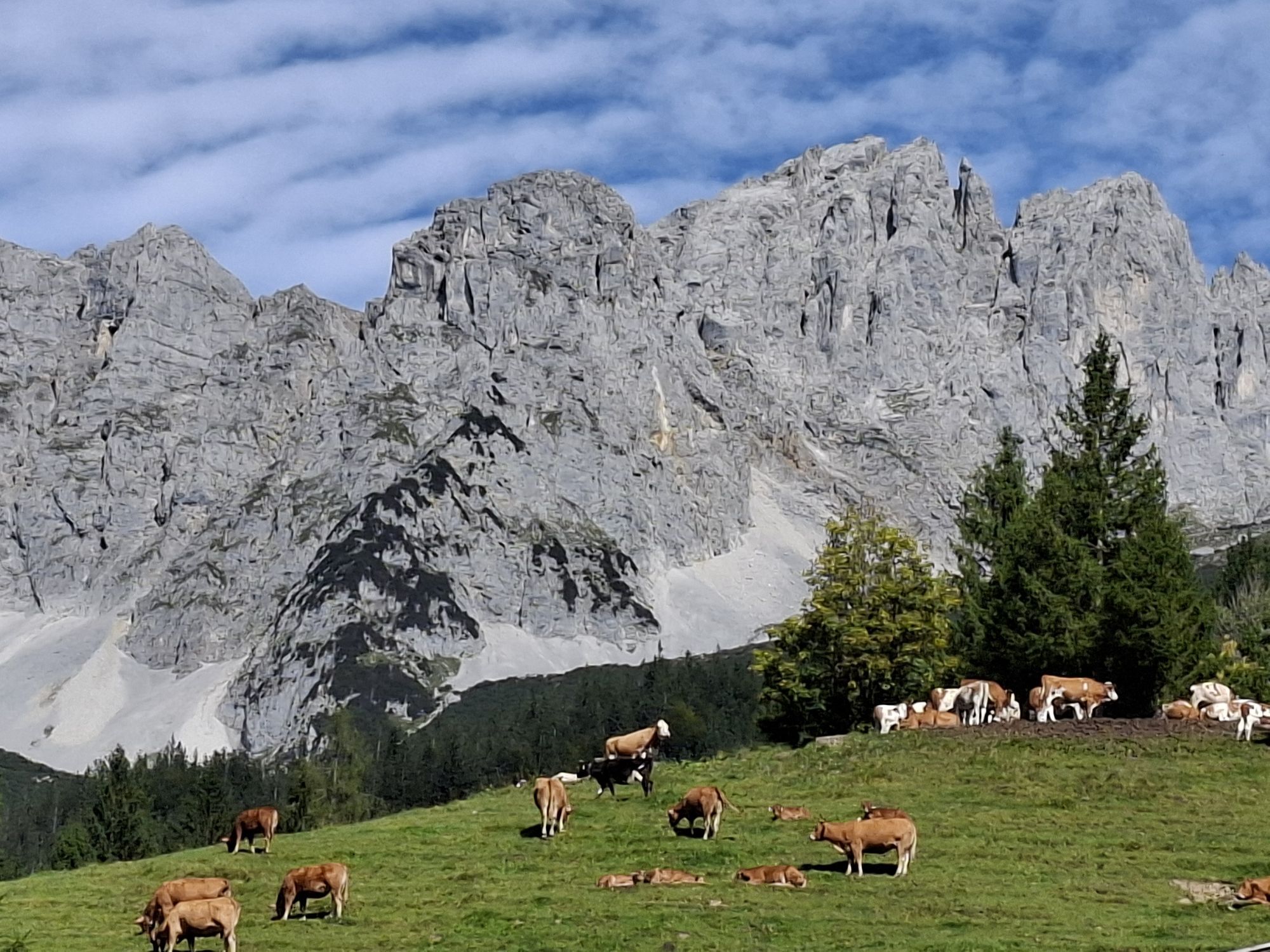
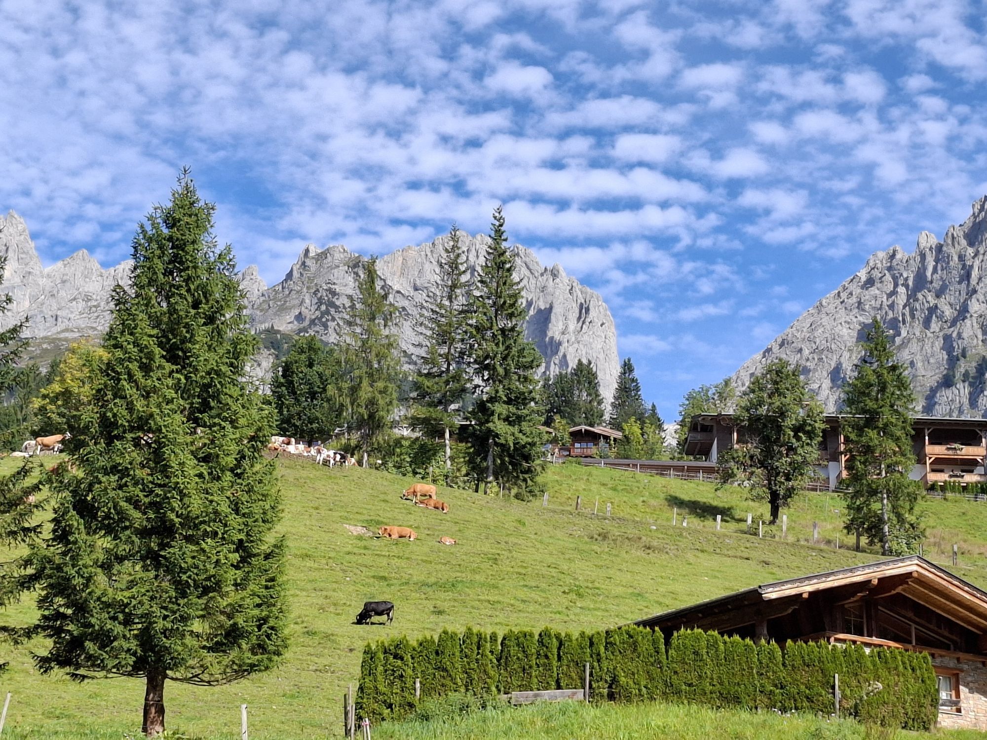
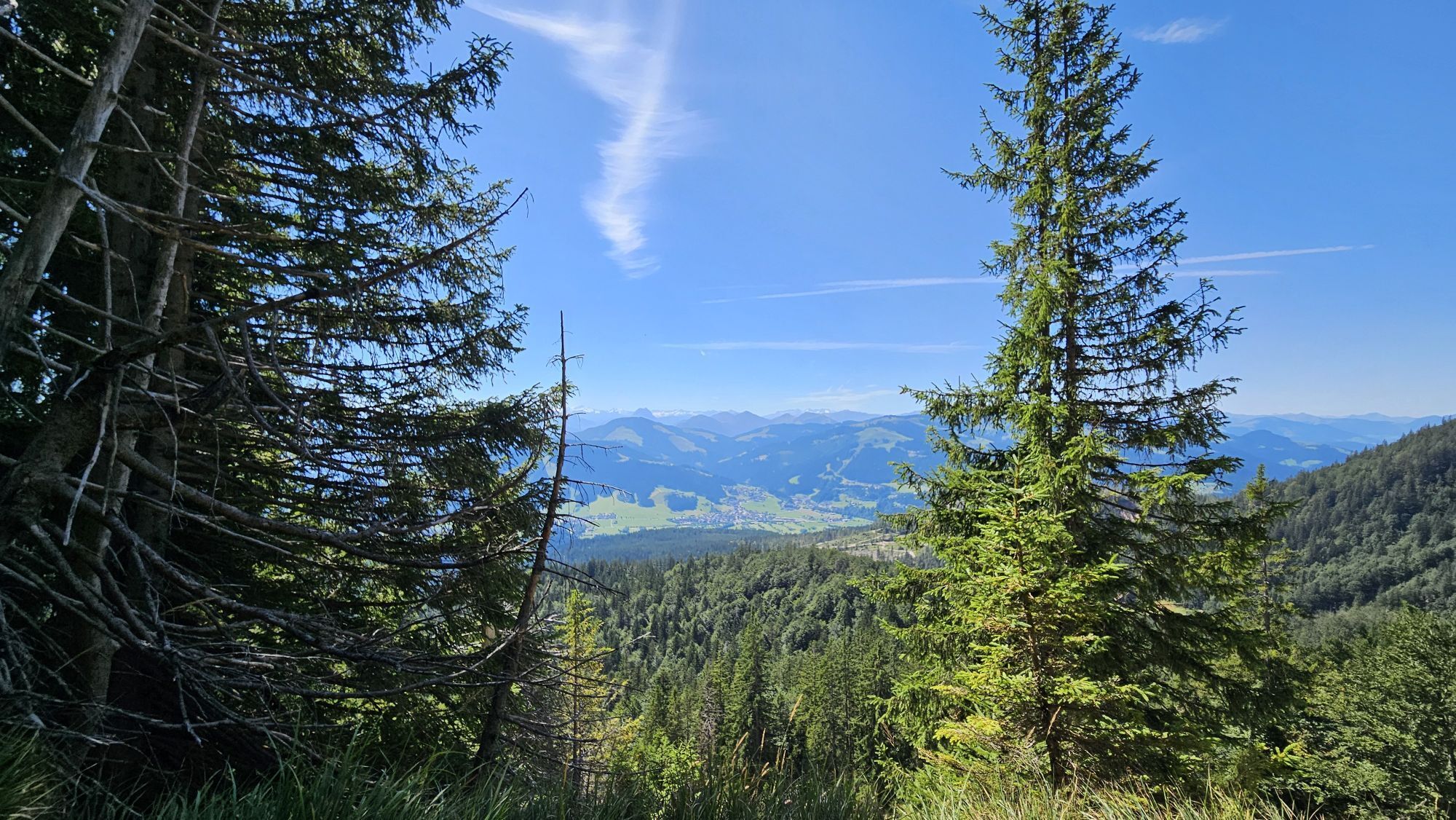
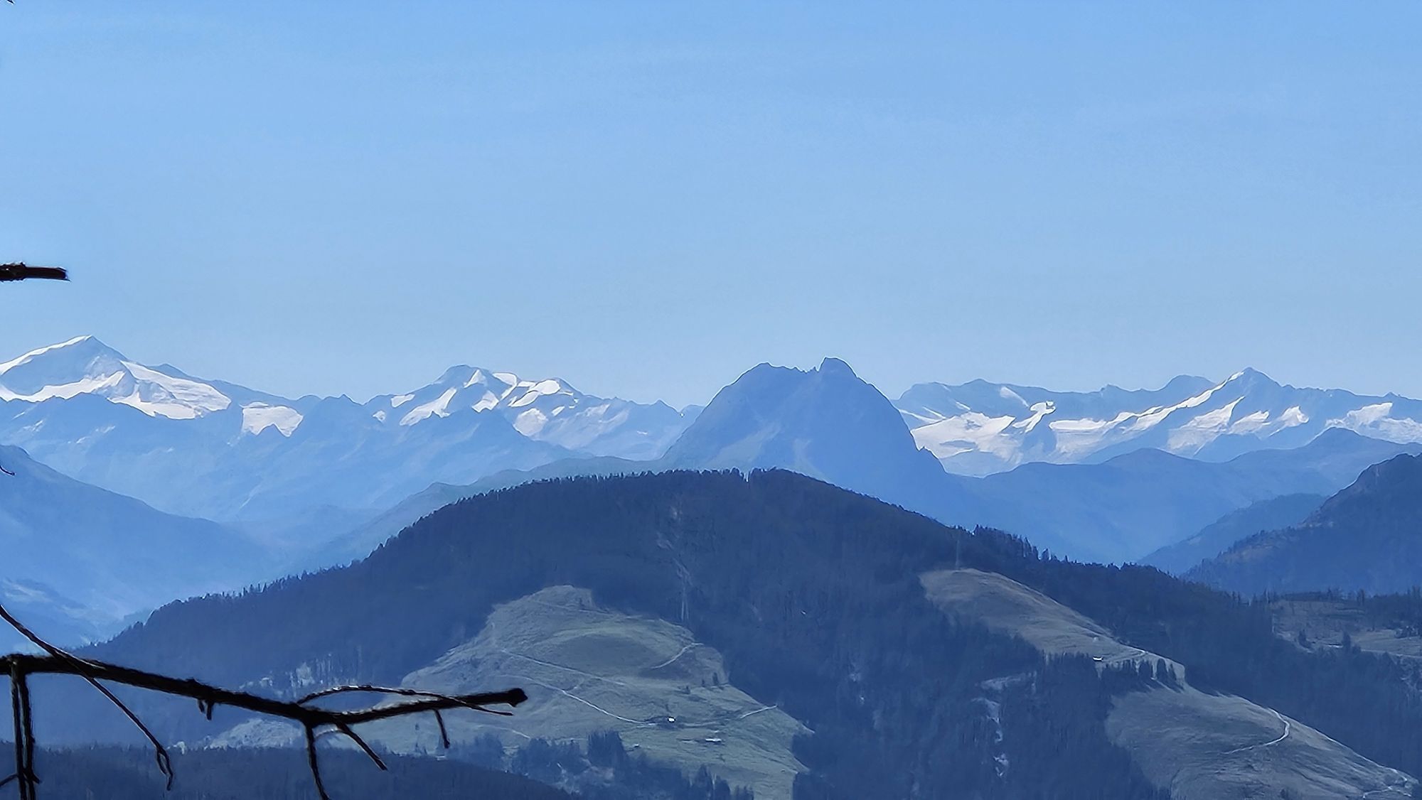
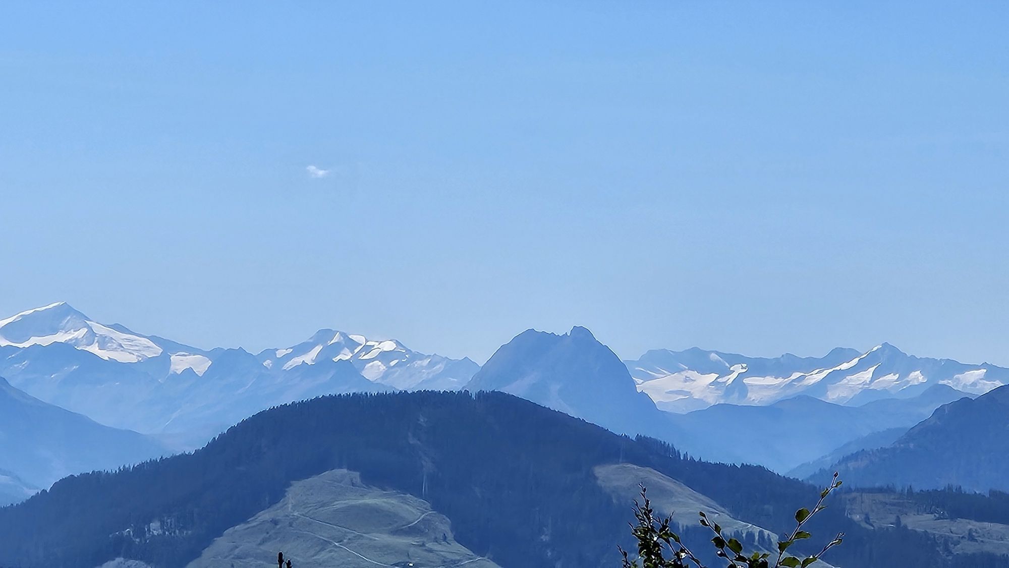
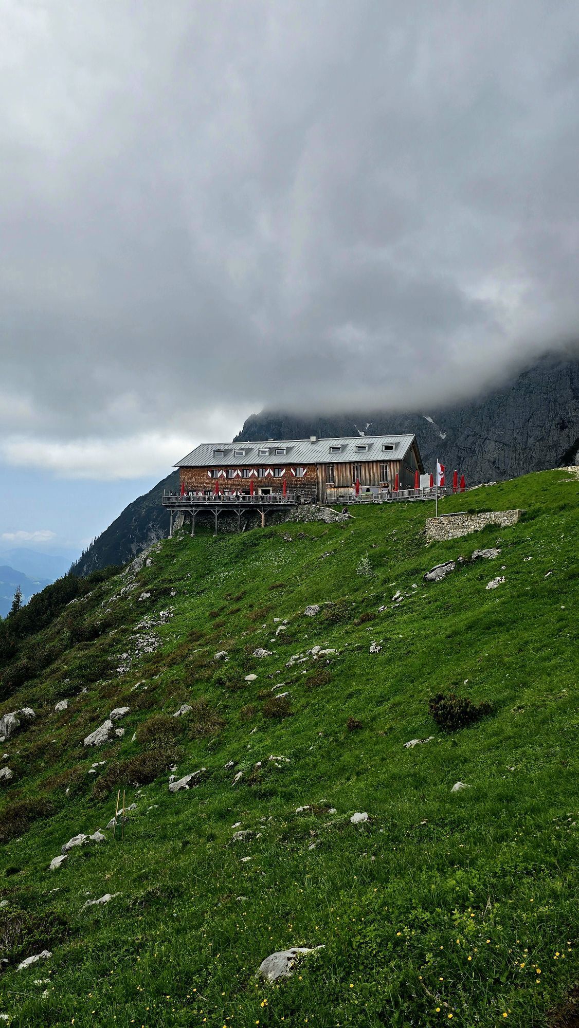
This demanding mountain hike starts in the village centre, directly at the hiking info point. Pass to the left of Ellmau Tourist Information Office and cross the main road, hiking along the 27-hole golf course on the Sonnseite until you reach the district of Wimm. Continue on hiking trail no. 23 and pass through the forest via the hamlet of Riesen up to Biedringer Platte plateau, where you are rewarded with a unique panoramic view of the Kitzbühel Alps. Keep walking across the Alpine meadows of Biedring until you reach the Riedlhütte mountain hut. After a refreshment stop at the Riedlhütte, there is a steep ascent on hiking trail no. 14/14a to the Gruttenhütte mountain hut. Once there, you can enjoy a close-up view of the Wilder Kaiser while tucking into a Tirolean snack. Suitably fortified for the way back, you should now take hiking trail no. 16 along a steep and rocky mountain path towards Wochenbrunner Alm mountain hut. Savour the view and the wonderfully designed wildlife park before making your way back down into the valley. Follow hiking trail no. 14, which leads along the Hausbach stream via the 27-hole golf course and takes you back to the hiking info point in Ellmau.
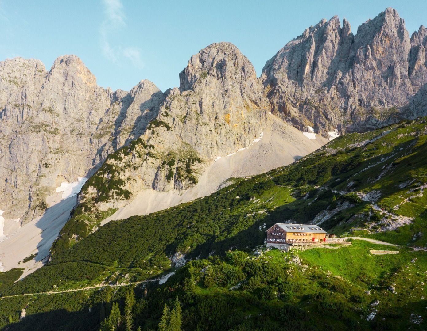
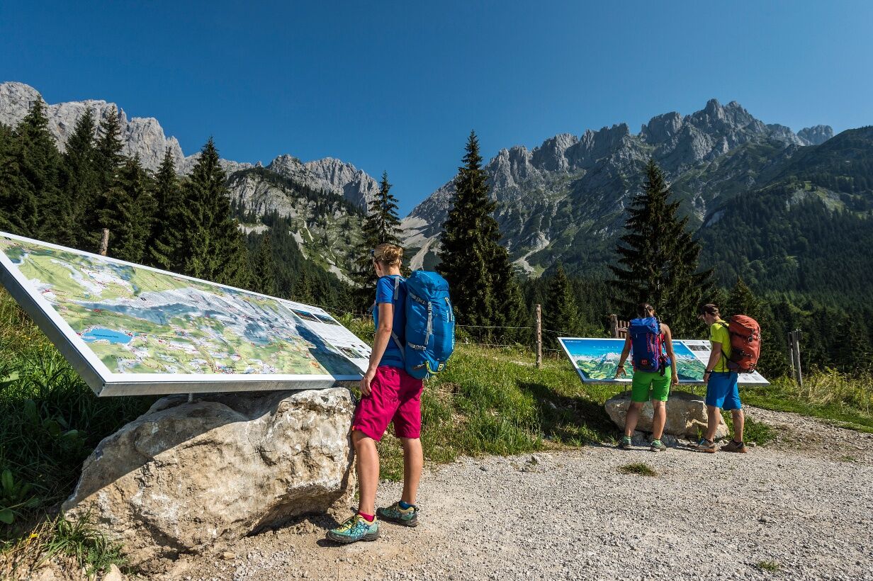
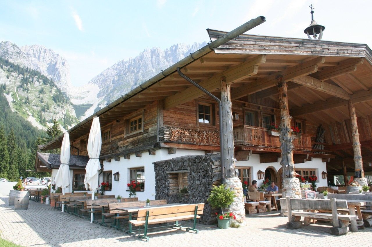

This demanding mountain hike starts in the village centre, directly at the hiking info point. Pass to the left of Ellmau Tourist Information Office and cross the main road, hiking along the 27-hole golf course on the Sonnseite until you reach the district of Wimm. Continue on hiking trail no. 23 and pass through the forest via the hamlet of Riesen up to Biedringer Platte plateau, where you are rewarded with a unique panoramic view of the Kitzbühel Alps. Keep walking across the Alpine meadows of Biedring until you reach the Riedlhütte mountain hut. After a refreshment stop at the Riedlhütte, there is a steep ascent on hiking trail no. 14/14a to the Gruttenhütte mountain hut. Once there, you can enjoy a close-up view of the Wilder Kaiser while tucking into a Tirolean snack. Suitably fortified for the way back, you should now take hiking trail no. 16 along a steep and rocky mountain path towards Wochenbrunner Alm mountain hut. Savour the view and the wonderfully designed wildlife park before making your way back down into the valley. Follow hiking trail no. 14, which leads along the Hausbach stream via the 27-hole golf course and takes you back to the hiking info point in Ellmau.
Rucksack, sturdy hiking/mountaineering boots with anti-slip treaded soles, weather-appropriate hiking gear (breathable), a change of clothes, sun protection (sunglasses, sun cream, lip protection, headgear), waterproofs (rain jacket/poncho, pocket umbrella, rucksack protector), cold protection (hat, gloves), sufficient food and drink, hiking poles (height adjustable) if required, first aid kit incl. rescue blanket and bivouac sack, mobile phone with fully charged battery, headlamp, plastic bag for waste, hiking map, route description and information materials (GPX track), ID, insurance card, cash.
Heading from Wörgl or Kufstein on the B178 road, take the first exit to Ellmau and then take the first exit at the roundabout. Drive along the bypass, then turn towards the centre of Ellmau when you reach the end (between MPreis and the Sporthotel). Continue straight on until you see the Tourist Information Office on the right-hand side (short-stay parking zone). The hiking starting point is located opposite this on the left-hand side. Heading from St. Johann on the B178 road, take the first exit to Ellmau and drive straight on through the town until you see the Tourist Information Office on the right-hand side (short-stay parking zone). The hiking starting point is located opposite this on the left-hand side.
KaiserJet stop “Ellmau Hotel Alte Post” or Postbus stop “Ellmau Dorf Bauhof”. More information at: www.wilderkaiser.info"
Public car parks in Ellmau centre or west - for free.
Webcams del recorrido
Infórmate
Siempre en directo con más de 9.500 webcams. bergfex Como usuario Pro, ahora puede ver las webcams correspondientes a muchos tours en la app de tours desde. Esto le permite ver las condiciones actuales directamente.

Rutas populares en los alrededores
-
4,7
Kirchdorf: Zur geheimnisvollen Teufelsgasse
medioSenderismo 7,90 km -
4,8
Gruttenhütte über Klammlweg
medioSenderismo 5,61 km -
4,5
Kitzbüheler Horn über Horn-Gipfel-Höhenweg
medioSendero temático 5,30 km -
4,9
Schleierwasserfall Runde
medioSenderismo 5,63 km -
4,8
Ellmauer Tor (22.07.2020)
medioSenderismo 9,32 km -
4,8
Streif Wanderweg
medioSenderismo 5,73 km -
5,0
Stripsenjoch Klettersteige/ Rundwanderung von Griesener Alm über Stripsenjochhaus und Feldberg
medioVía ferrata 10,2 km -
4,7
Musikantensteig zur Naunspitze
medioSenderismo 8,96 km -
4,6
Hintersteinersee
medioSenderismo 9,87 km -
4,6
St. Johann in Tirol: Wasserfall & 3 Seen am Kitzbüheler Horn
medioSenderismo 12,7 km
Senderismo y rastreo


No se pierda las ofertas y la inspiración para sus próximas vacaciones
Su dirección de correo electrónico se ha añadido a la lista de correo.





