


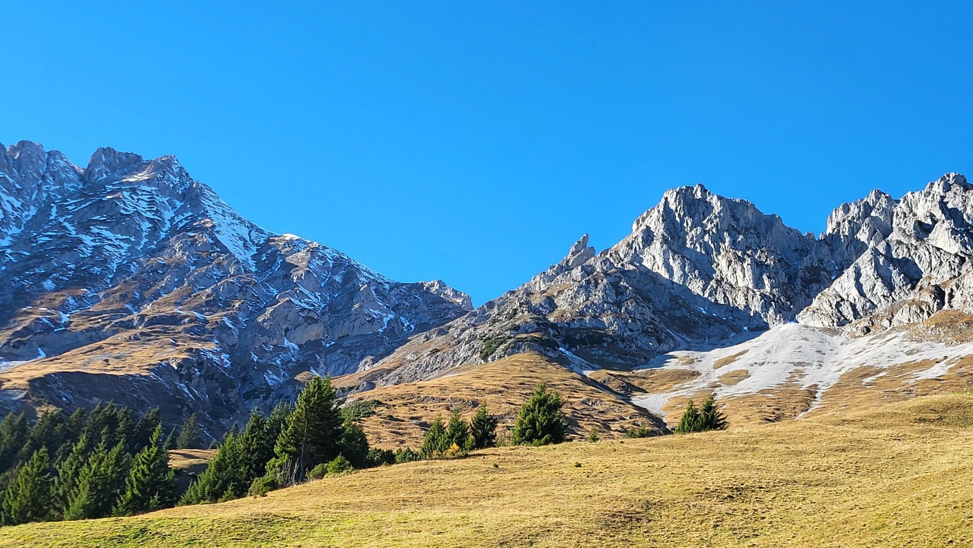
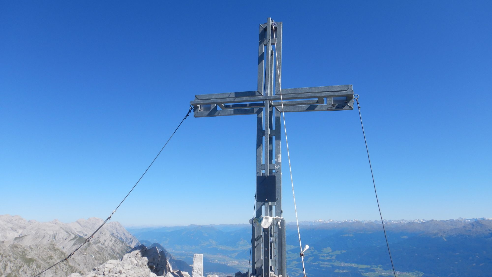
Vordere Brandjochspitze, Tirol/Österreich


Von der Hungerburg bis zur Höttinger Alm führt die Route mäßig ansteigend an der Umbrüggler Alm vorbei bis zum Abzweig Richtung Höttinger Alm. Dieser befindet sich in einer Kehre und ist gut beschildert....
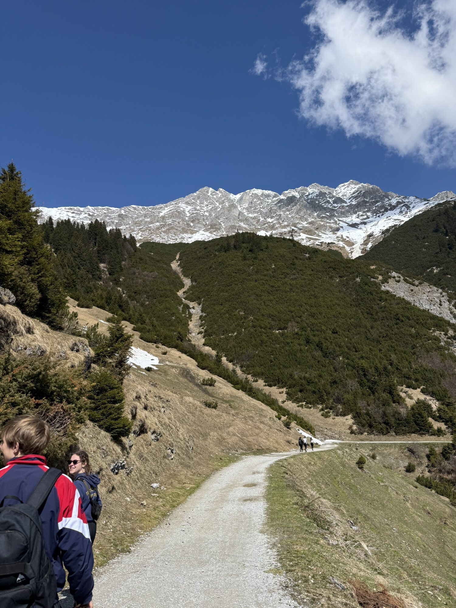
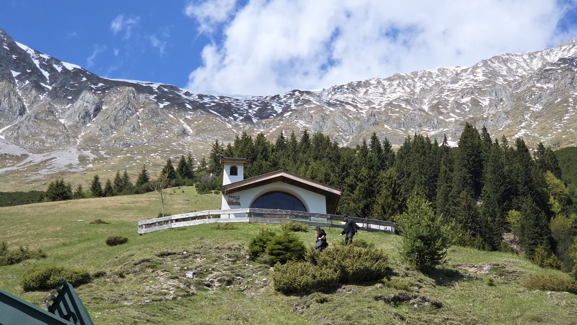
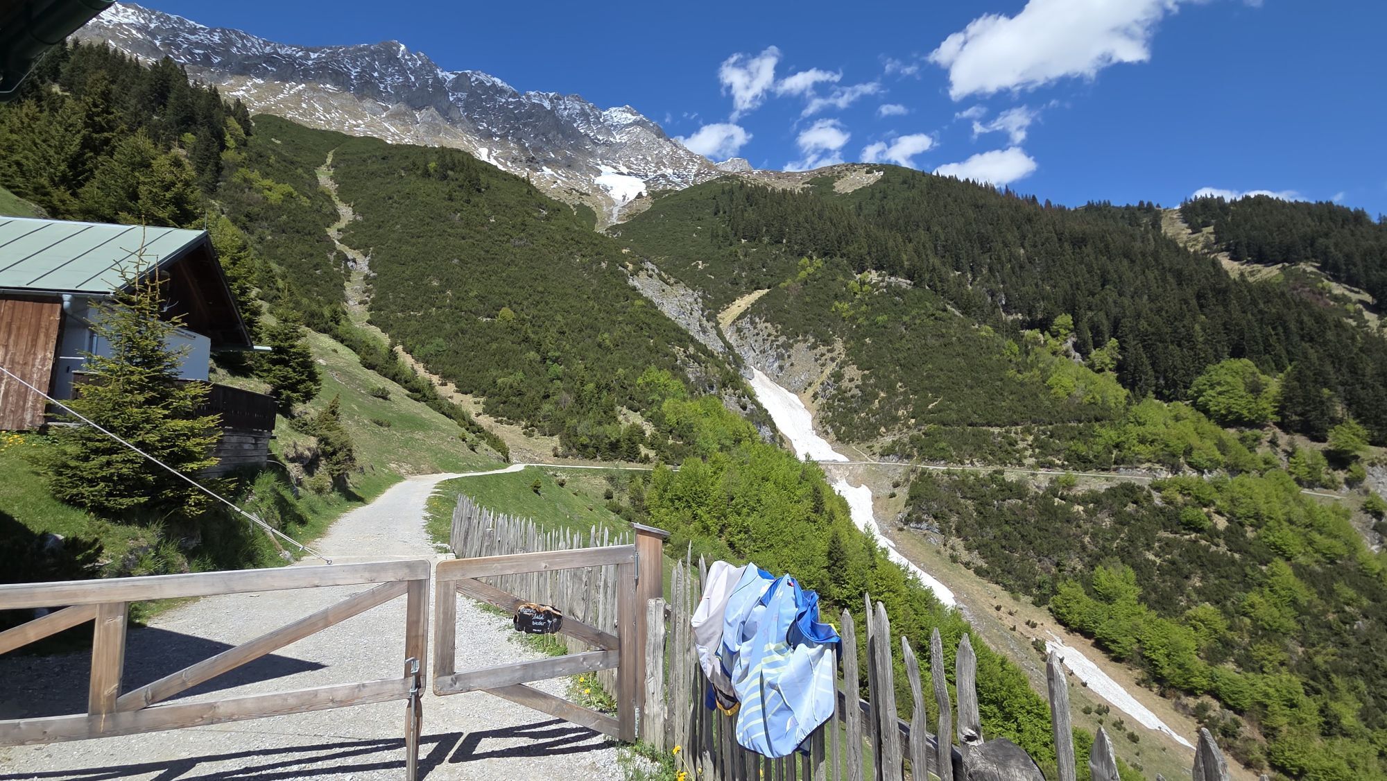
Von der Hungerburg bis zur Höttinger Alm führt die Route mäßig ansteigend an der Umbrüggler Alm vorbei bis zum Abzweig Richtung Höttinger Alm. Dieser befindet sich in einer Kehre und ist gut beschildert. Von dort zunächst ca. 300 m durch den Wald und dann die Skipiste hinauf und von dort nach links in den Wald und dann über Wiesen zur Höttinger Alm.
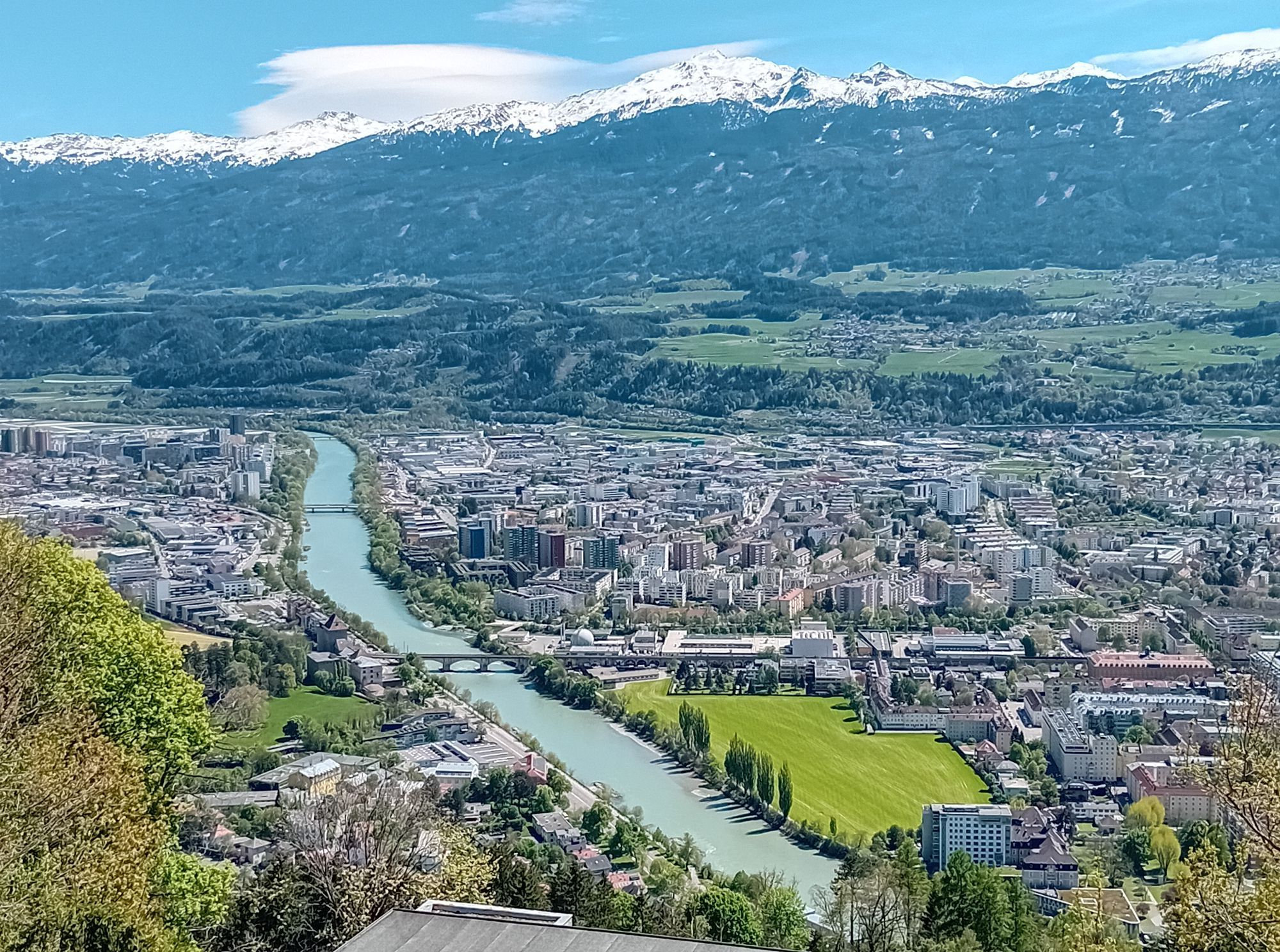
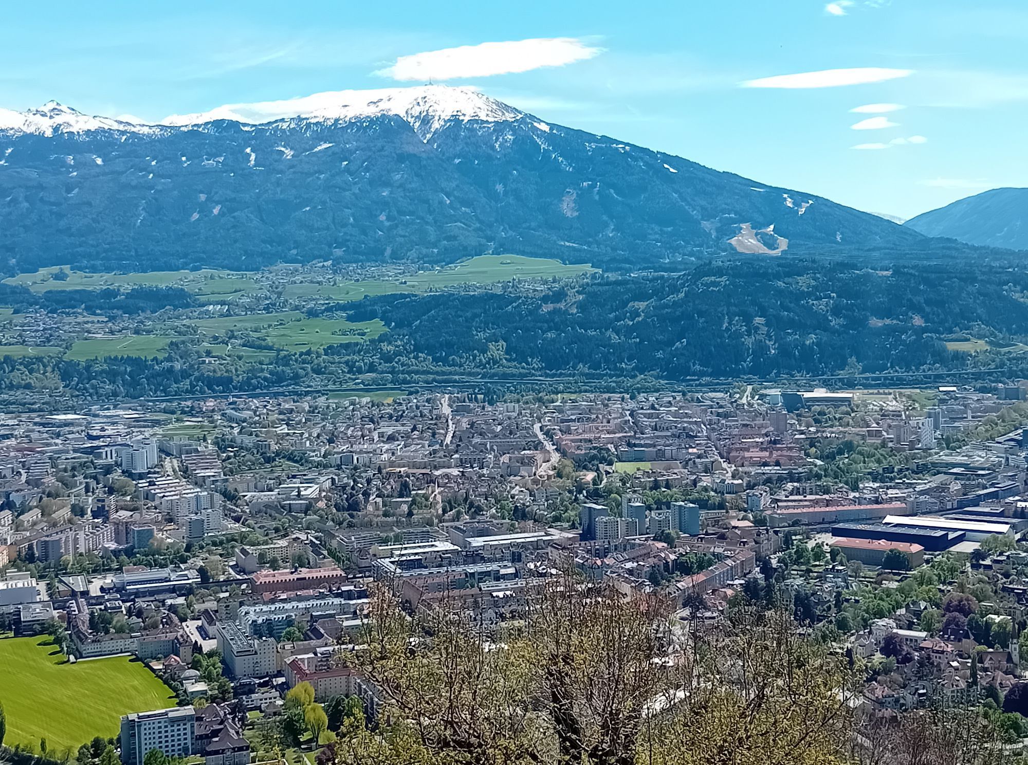
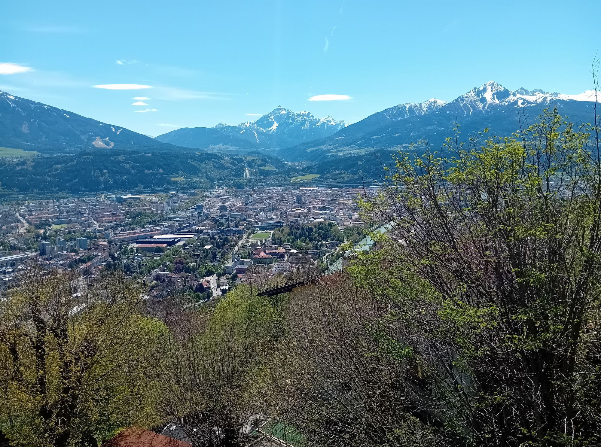
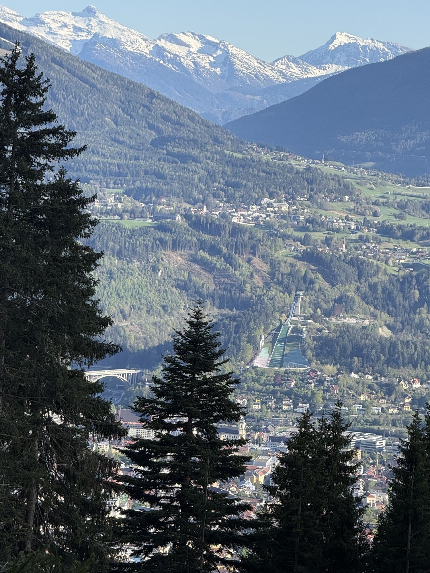
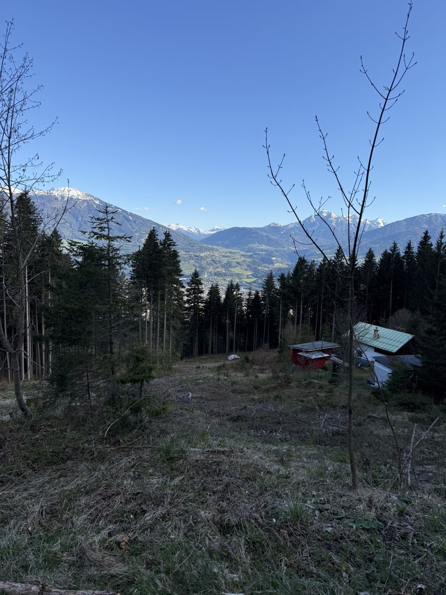
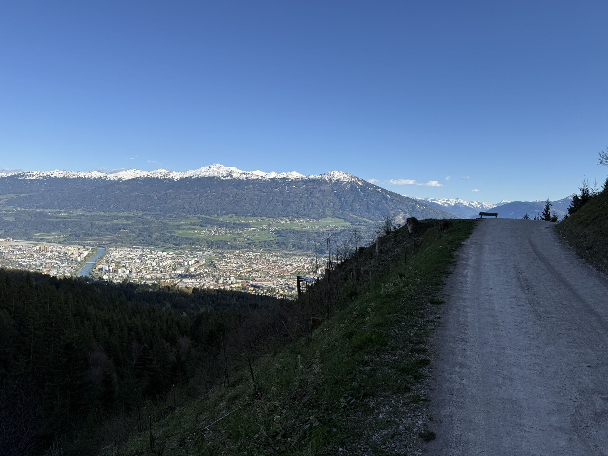
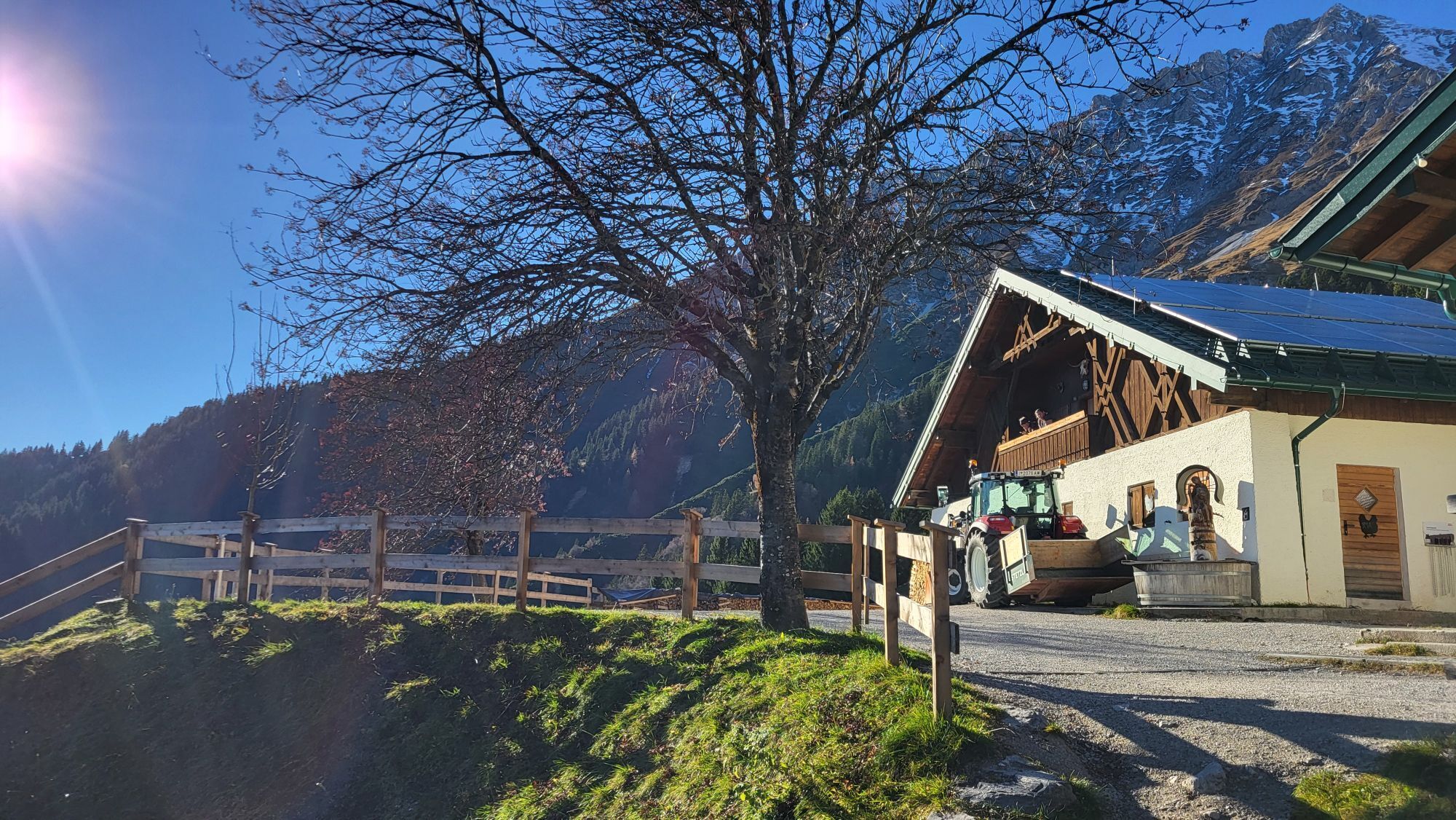
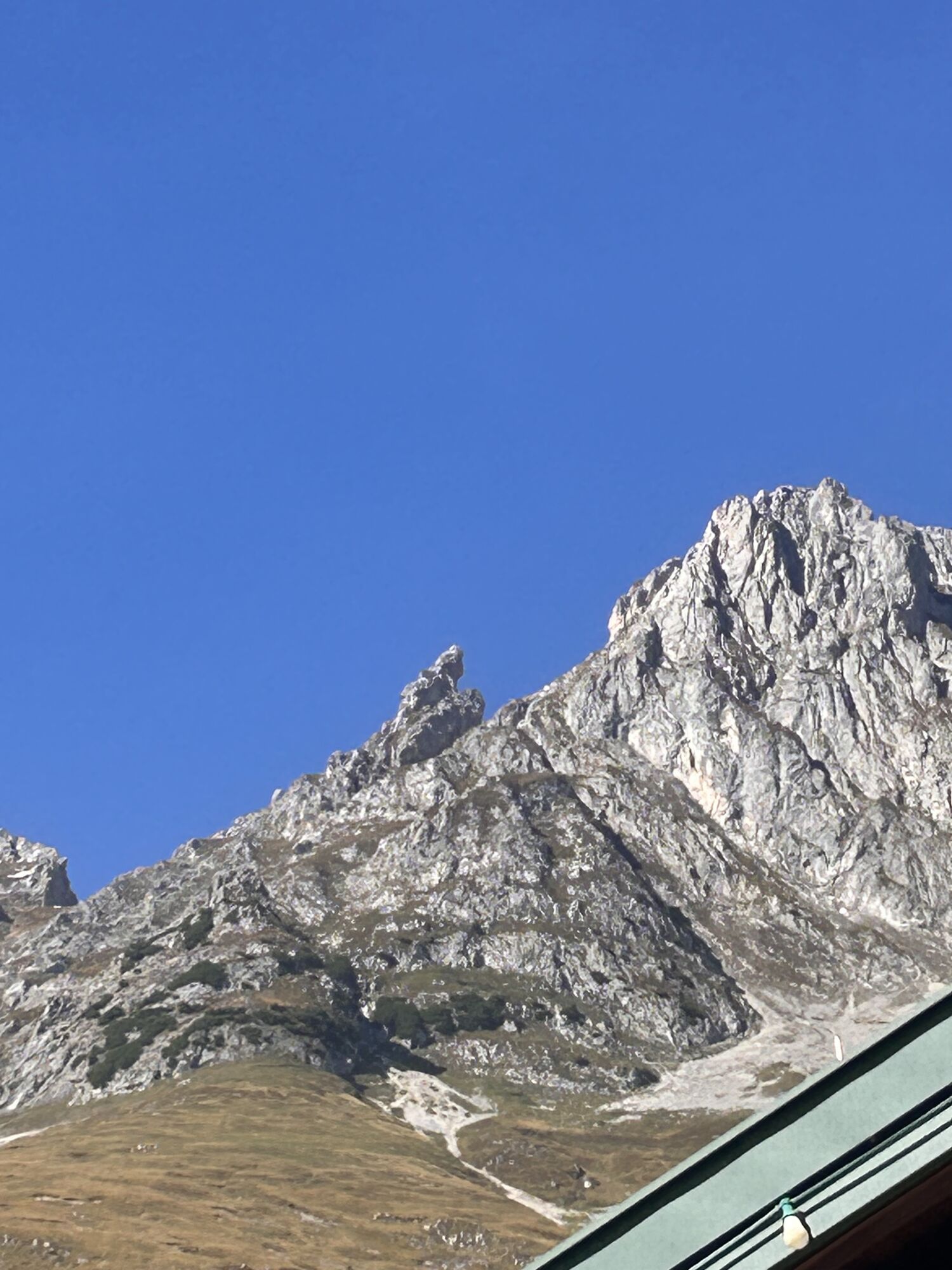
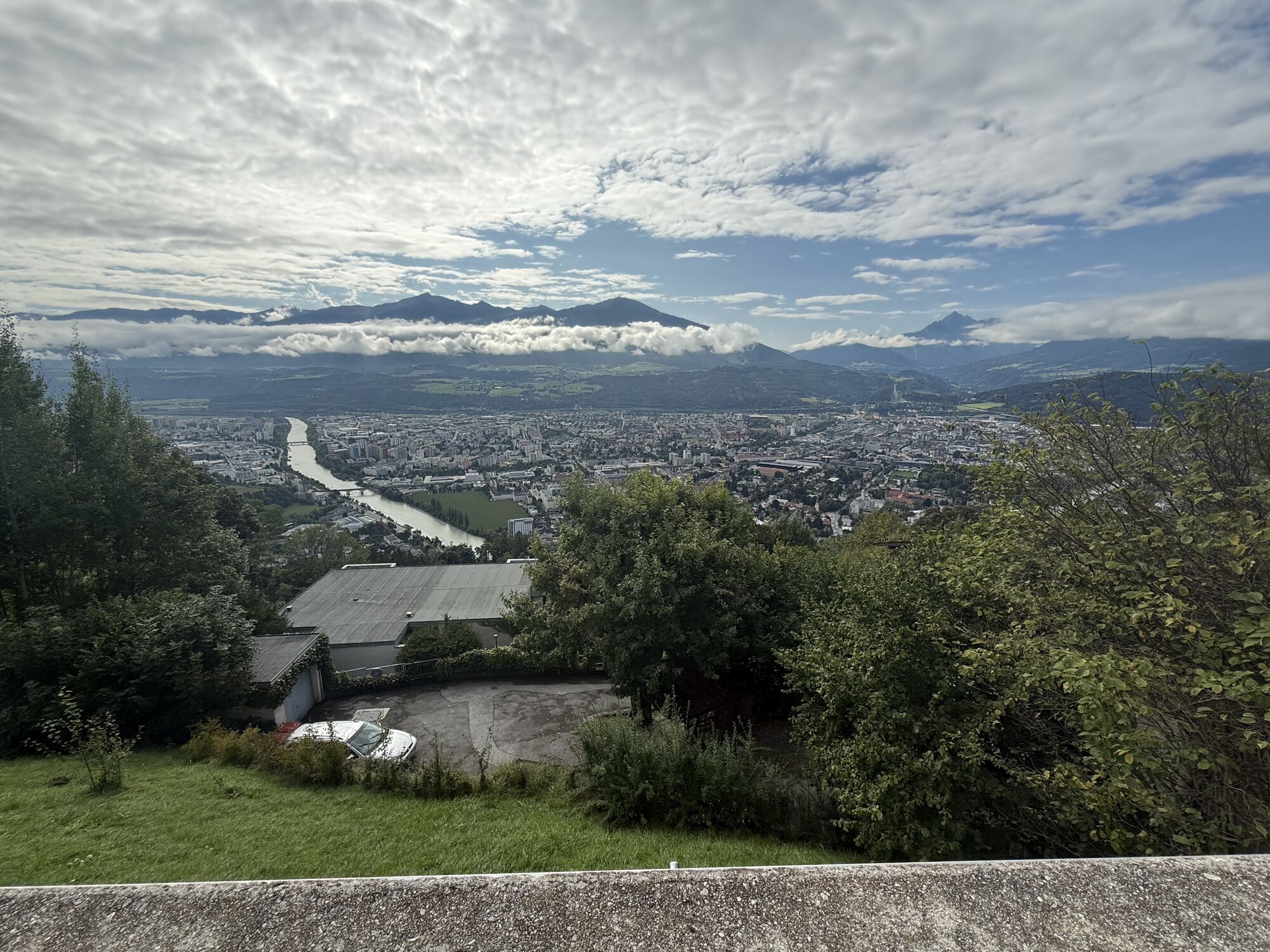
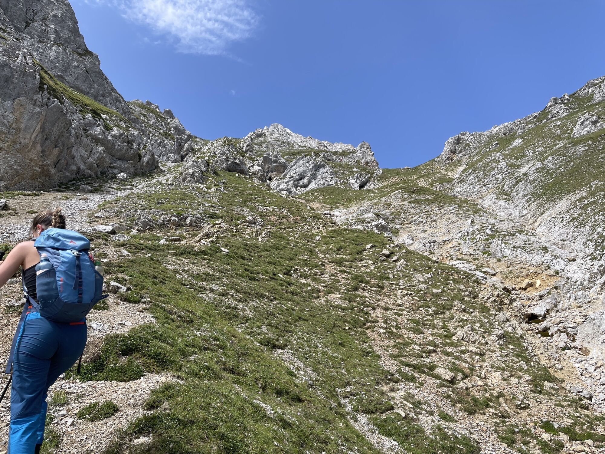
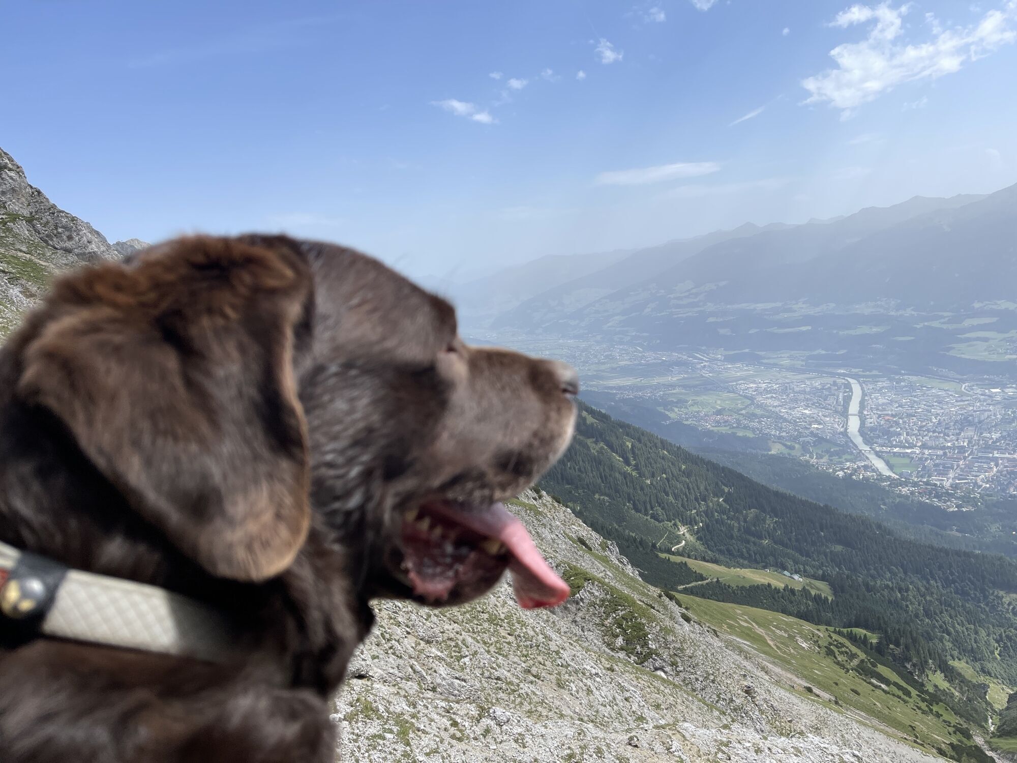
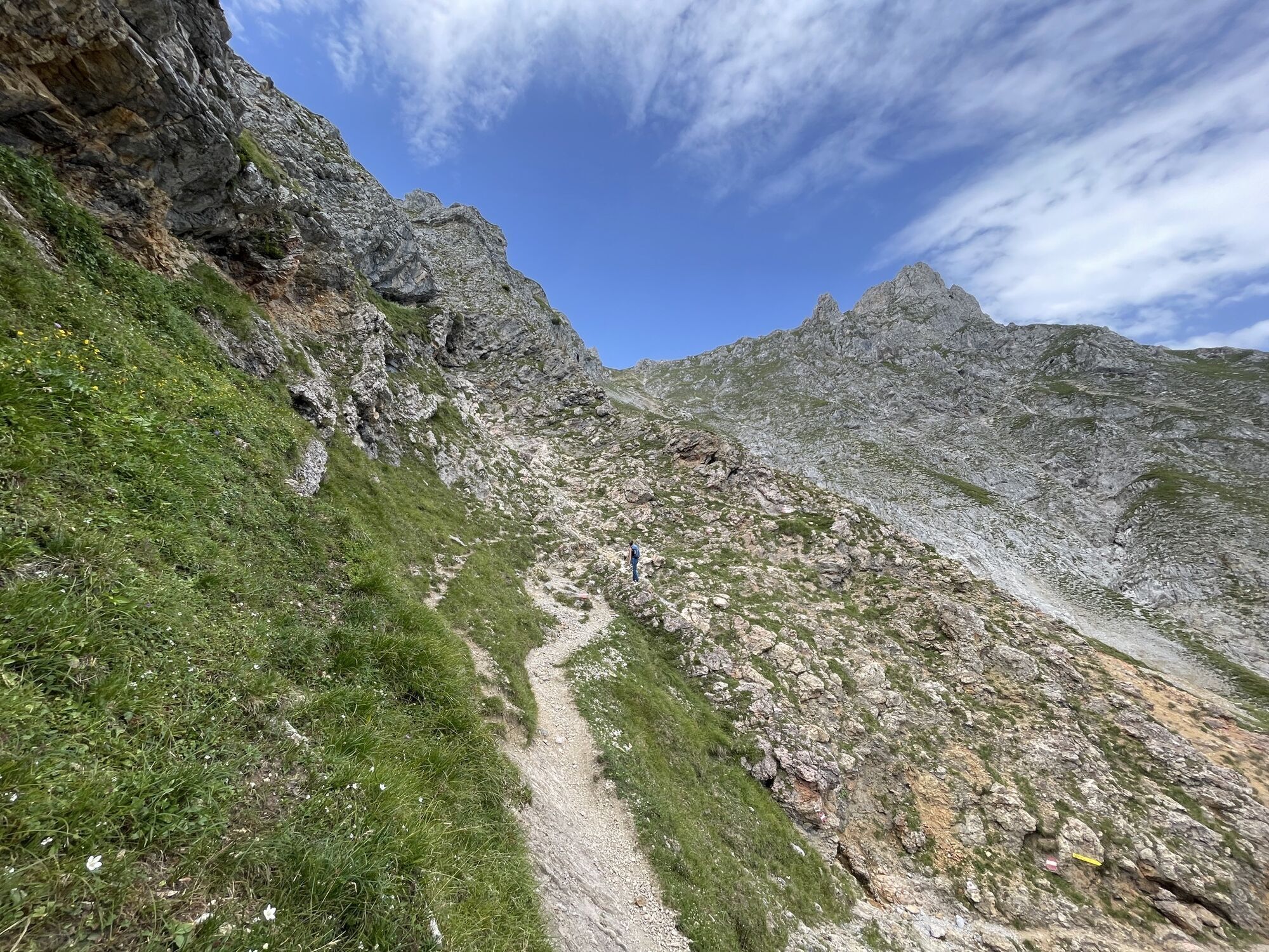
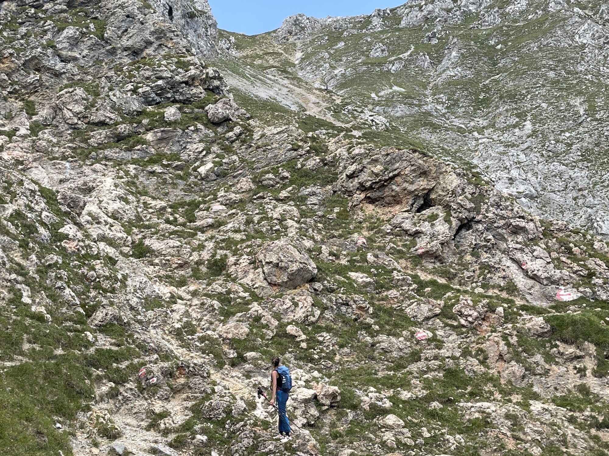
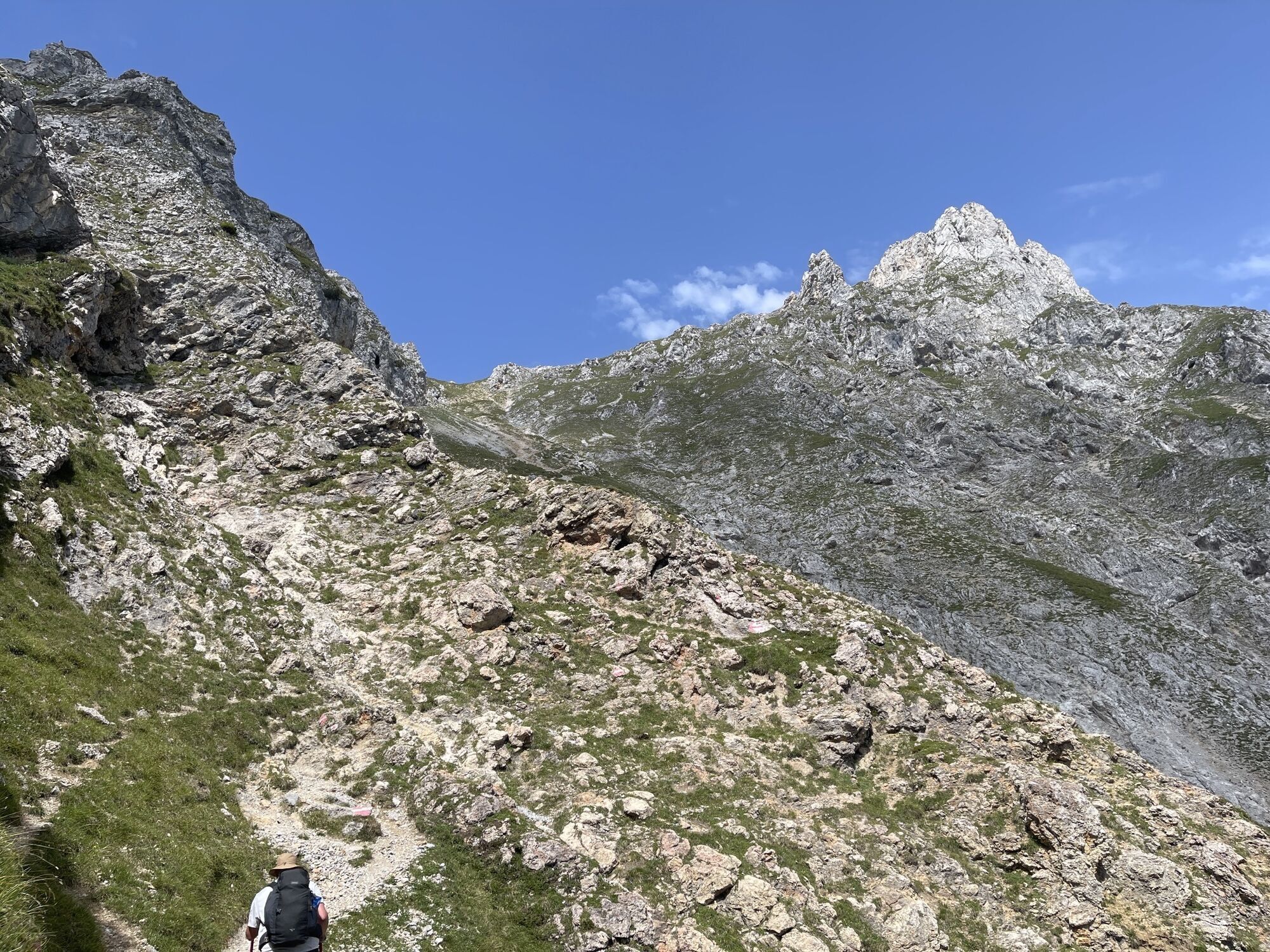
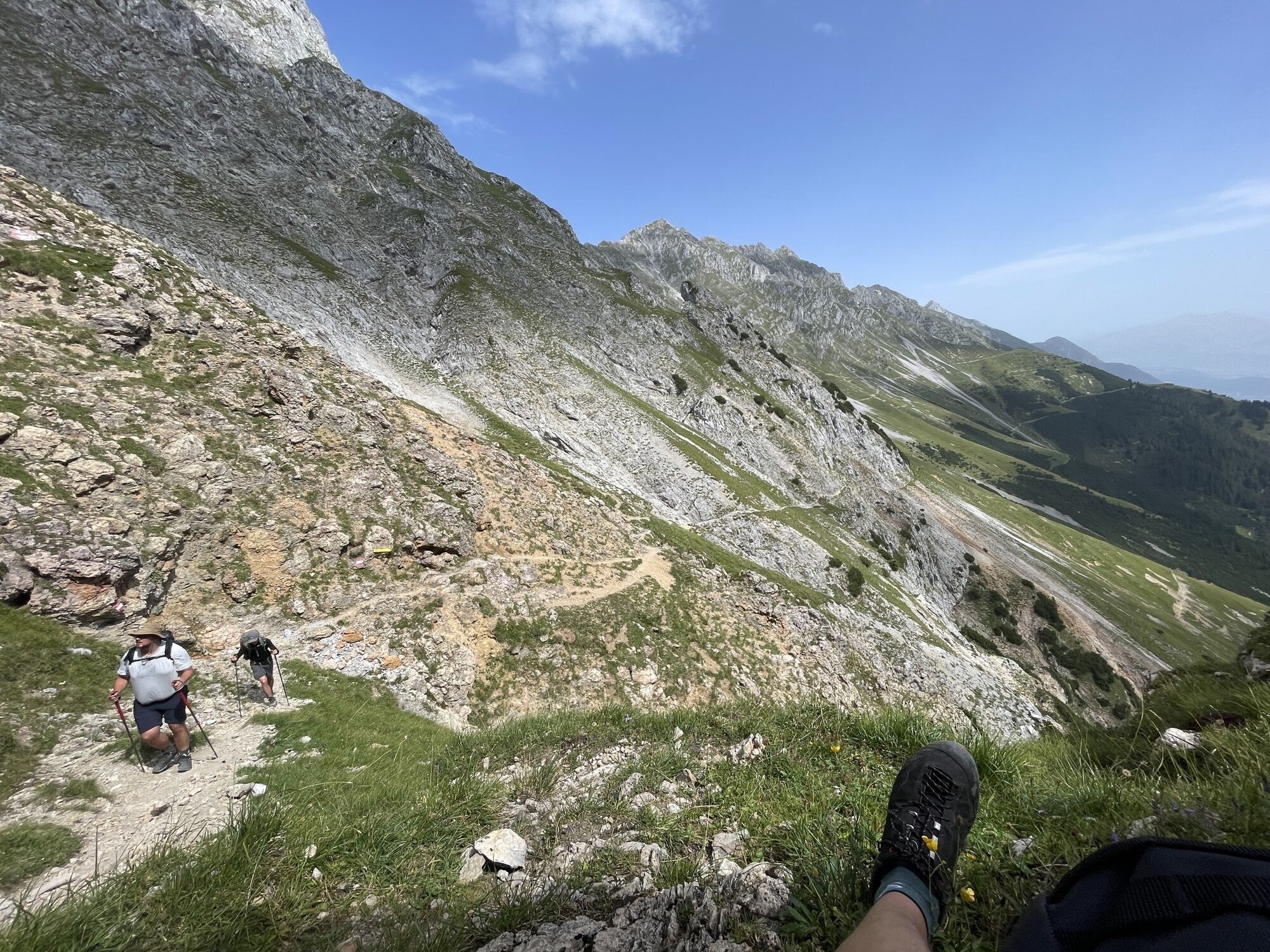
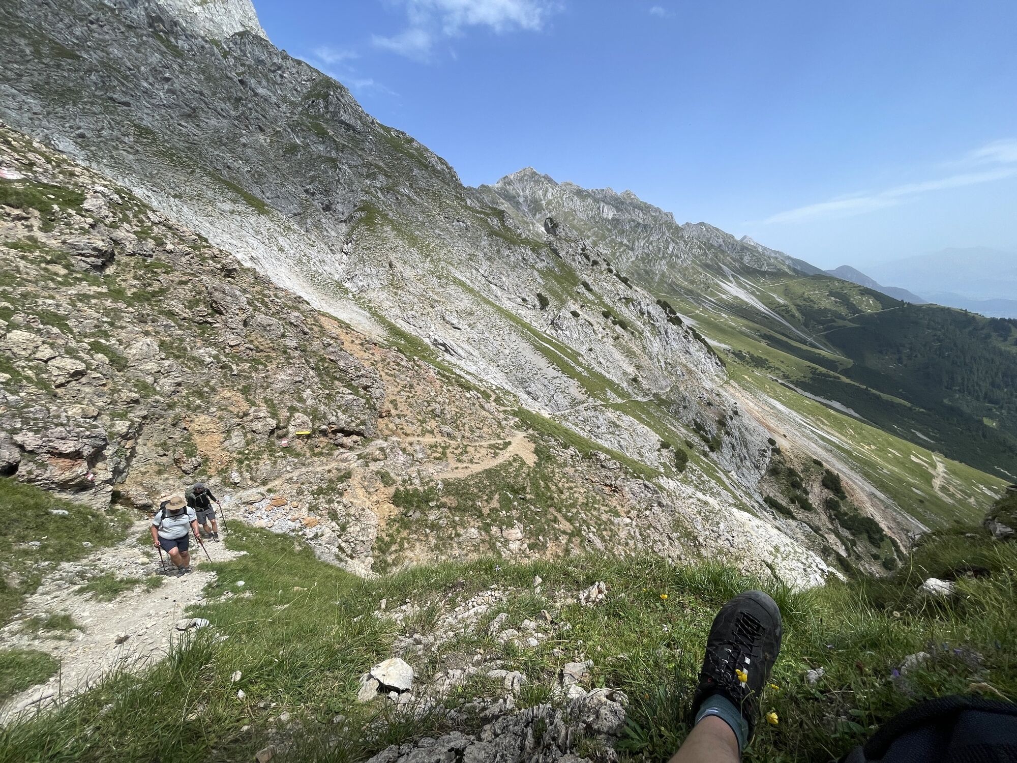
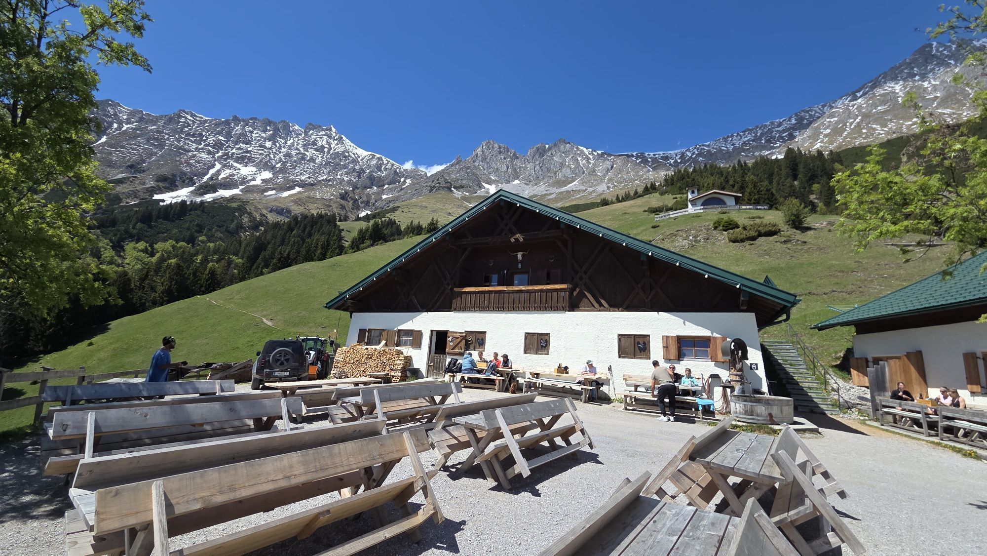
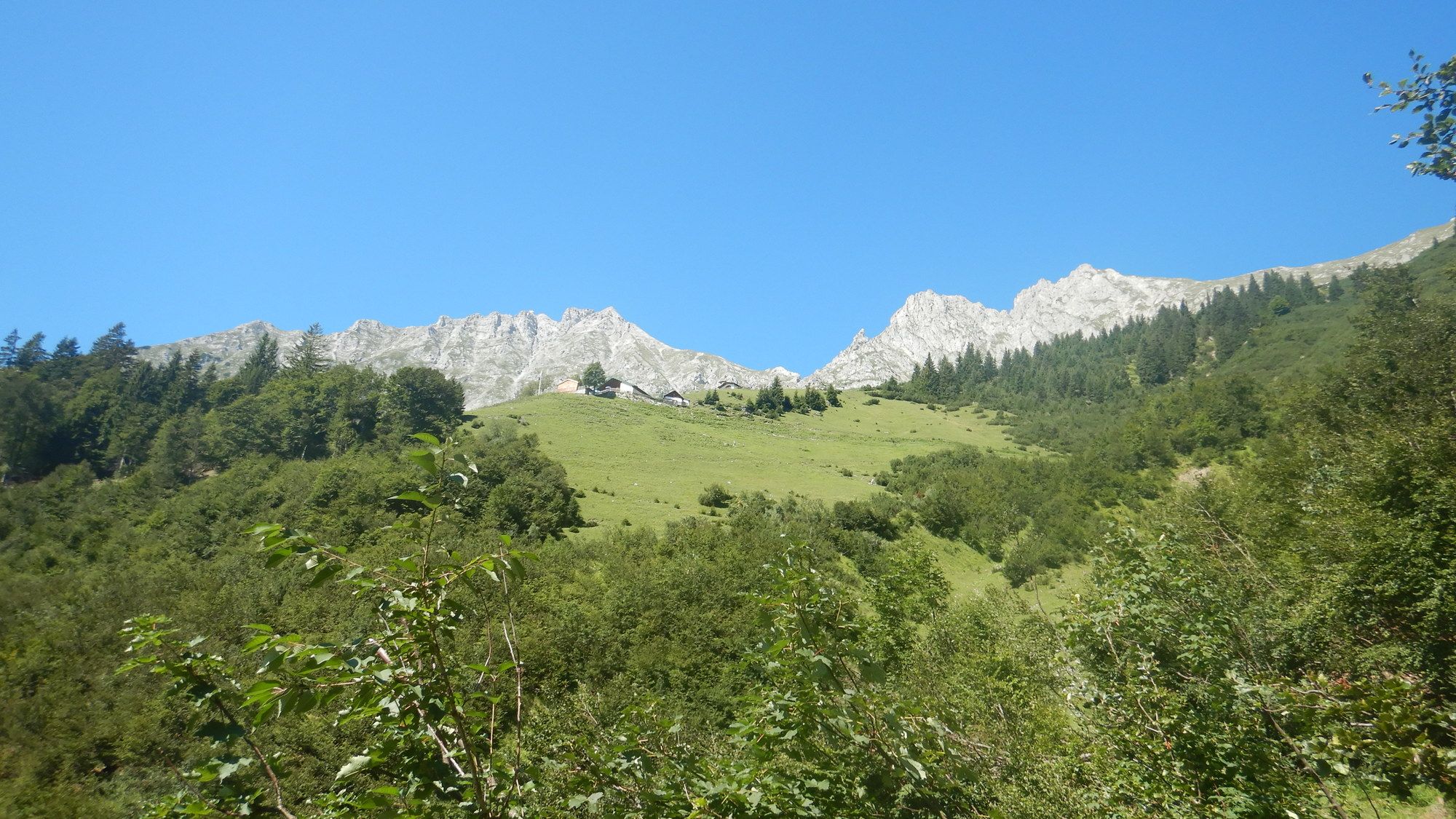
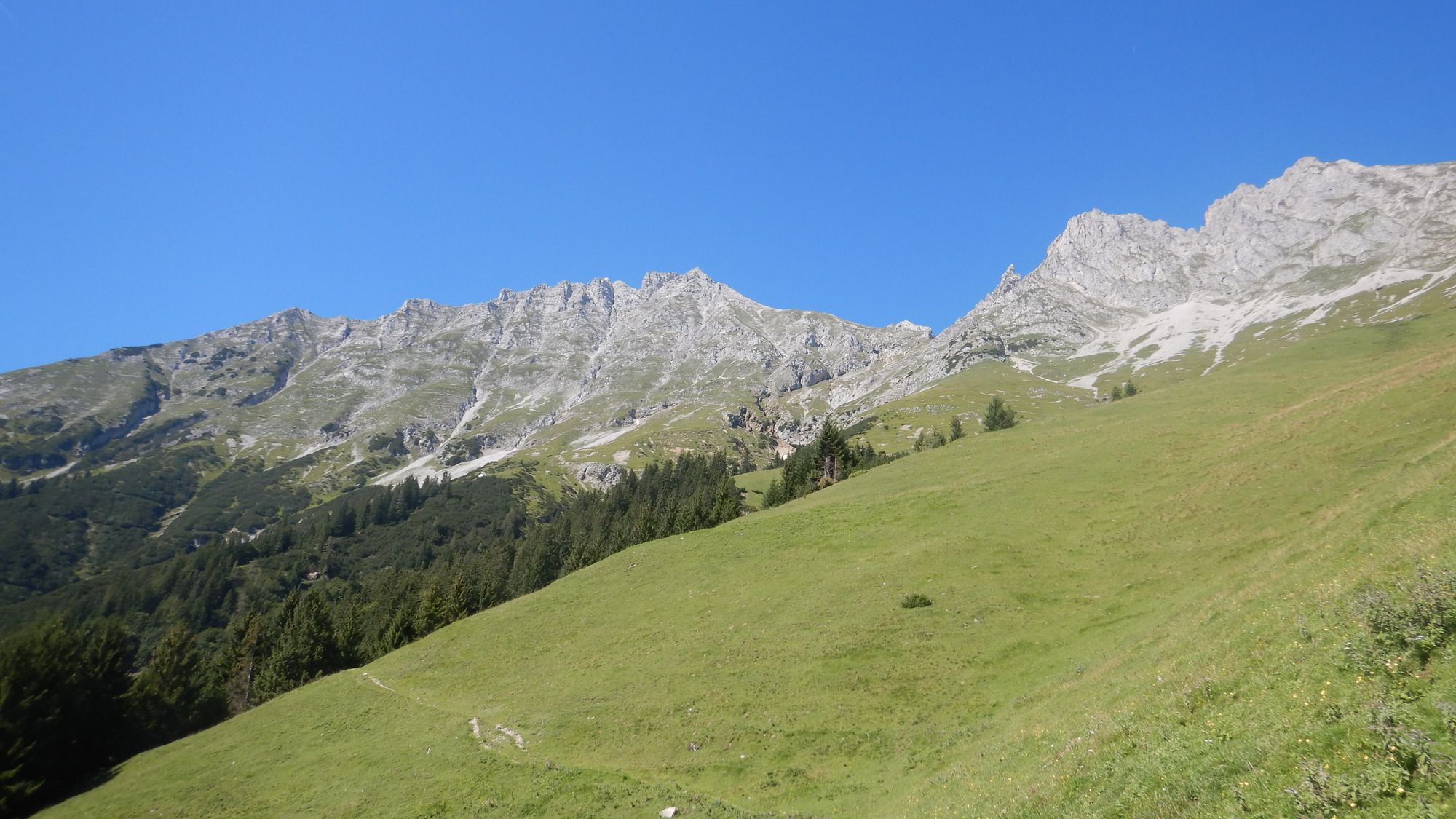
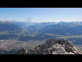
Von diesem Punkt an bietet sich ein beständiger Blick ins Inntal. An der Alm links vorbei, dem Wegweiser folgend in Richtung "Frau Hitt" den Hang hinauf an einer kleinen Kapelle vorbei zunächst über Wiesen und dann durch leicht felsige Landschaft. Bis "Frau Hitt" sind sämtliche Wege in einem hervorragenden Zustand (fester Boden bis wenig, meist griffiges Geröll). In der Gegend von Frau Hitt kreuzen sich einige Wege, doch dank guter Beschilderung und des markanten Charakters der Vorderen Brandjochspitze ist der Abzweig leicht zu erkennen. Dieser führt meist steil den Grat hinauf bis zum Gipfel, wobei von diesem Punkt an es dem Auge schwer fällt, sich auf den Weg zu konzentrieren, denn man hat mit grandiosen Aussichten sowohl in Richtung Süden als auch Norden zu kämpfen.
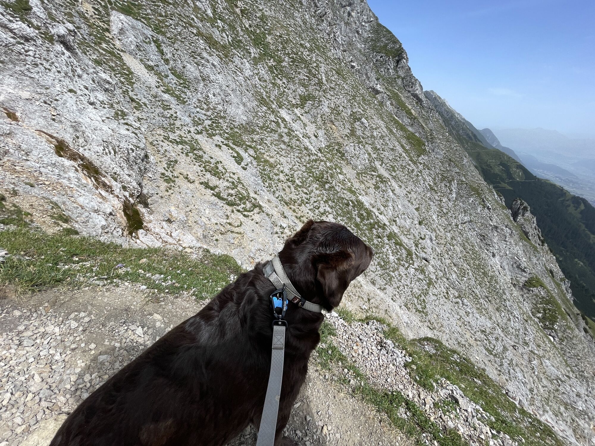
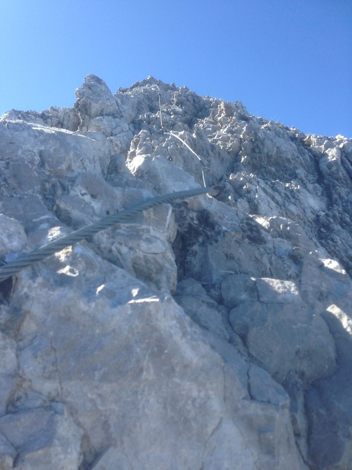
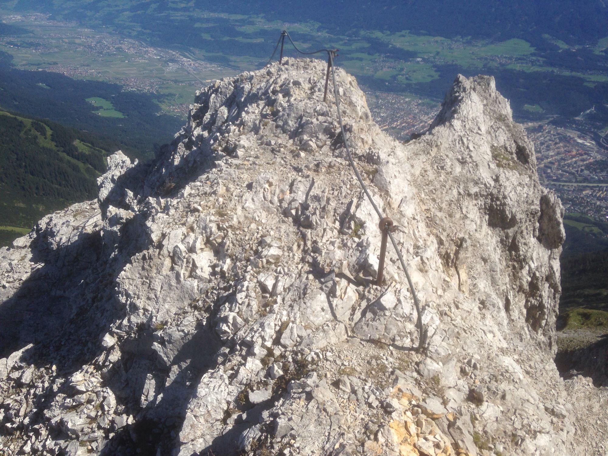
Der zweite Teil des Weges ist zu ca. 80% mit Stahlseilen gesichert. Schwierige Passagen gibt es nicht, so dass ein Begehen auch ohne Klettersteigausrüstung möglich ist. Zumindest ein Helm ist jedoch dringend emfpfohlen, da von höher positionierten Wanderern gelöstes Geröll im steilen Gelände schnell an Geschwindigkeit gewinnt.
Von der Vorderen Brandjochspitze hat man einen großartigen 300°-Blick, der nur in Richtung Westen von Hinterer Brandjochspitze, Hoher Warte und Kleinem Solstein getrübt wird. Für den Blick in Richtung Süden ist die Höhe des Gipfels ausreichend, um über den Brenner hinaus die Spitzen der Dolomiten zu erkennen.
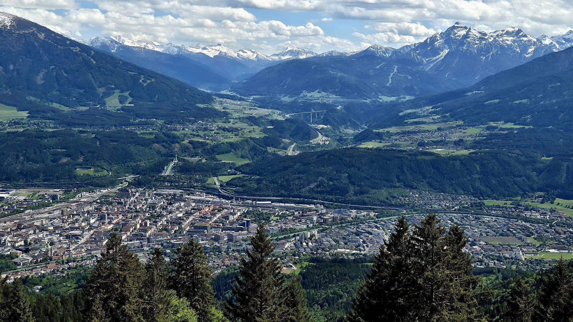
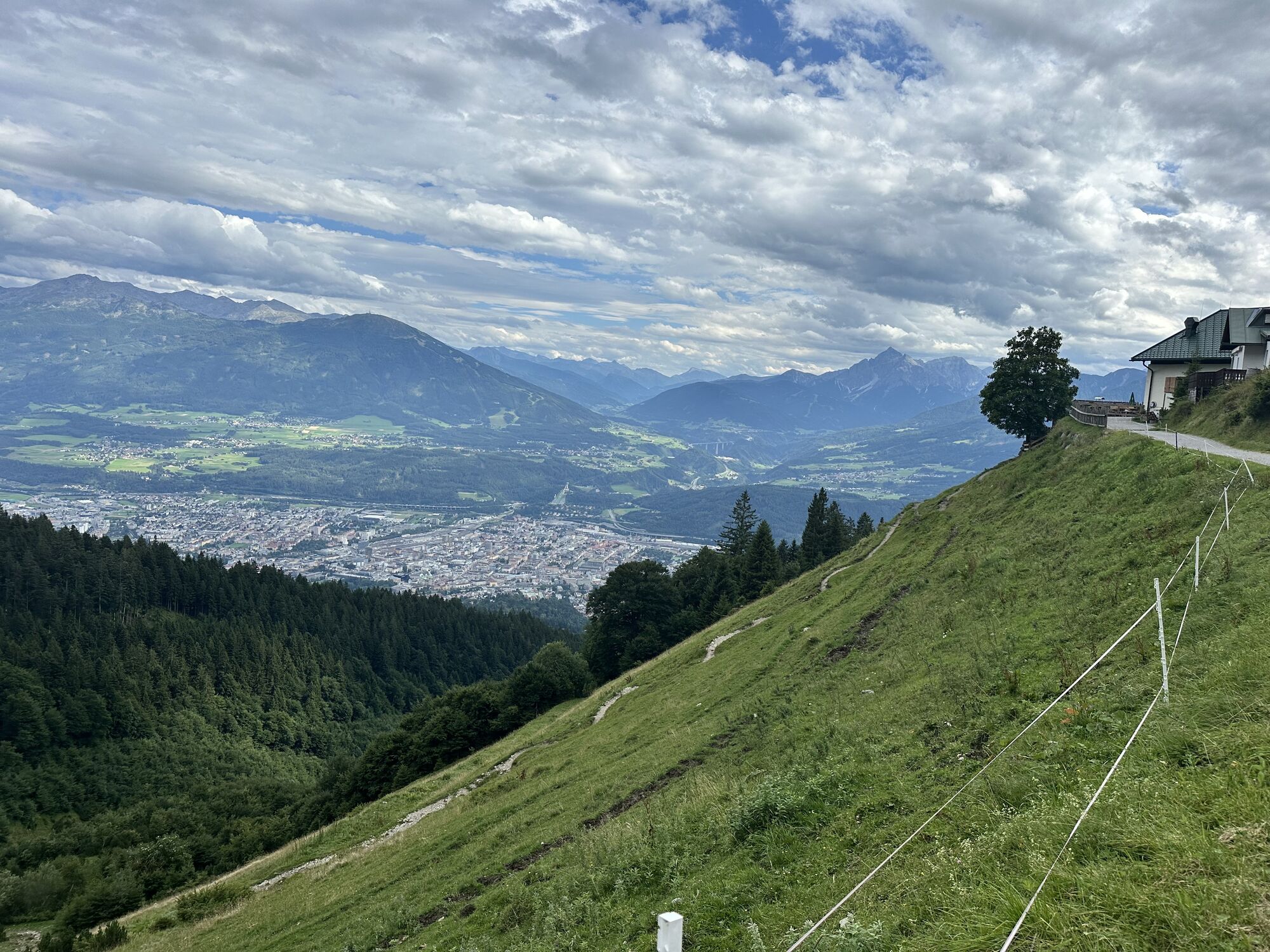
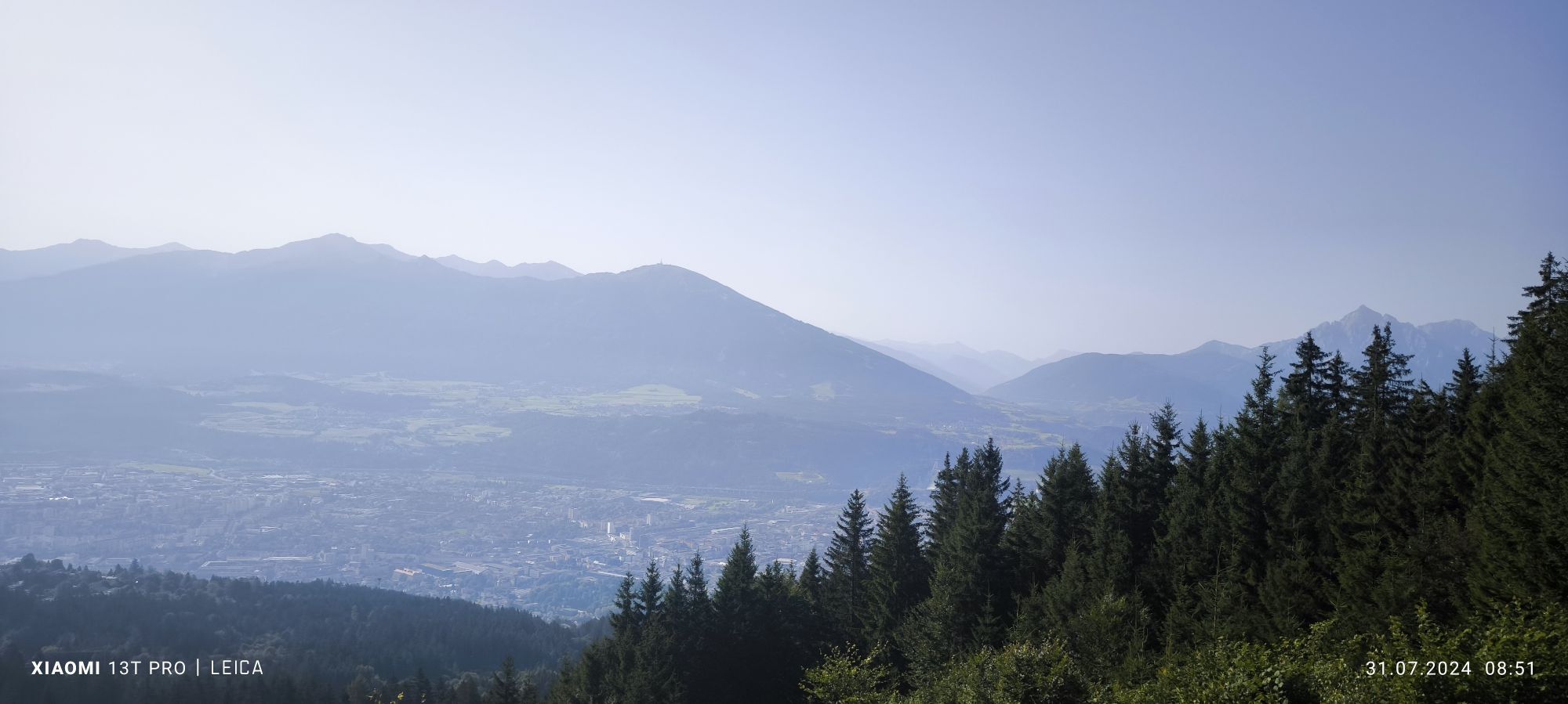
Normalerweise ist es öde, den gleichen Weg zurückzulaufen. Hier bereitet aber auch dies zumindest bis zur Höttinger Alm infolge des traumhaften Blickes auf Inntal und Innsbruck relativ viel Freude.


Umbrüggler Alm, Höttinger Alm
Sí
Sí
Sí
Helm
Von Frau Hirt bis zum Gipfel ausgesetzt. Tritt- und Griffsicherheit erforderlich.
Mit der Buslinie J oder dem Auto bis zur Hungerburg. Alternativ mit der Hungerburgbahn vom Kongresszentrum bis zur Station Hungerburg.
Buslinie J aus Innsbruck Zentrum.
Parkplatz an Talstation der Seegrubenbahn.
Webcams del recorrido
-
Seegrube
-
Innsbruck - Adlers Hotel
-
Seegrube
-
Seegrube
-
Seegrube
-
Seegrube
-
Seegrube
-
Hungerburg
-
Hungerburg
-
Hungerburg
-
Hungerburg
-
Hungerburg
-
Hafelekar
-
Hafelekar
-
Hafelekar
-
Hafelekar
-
Hafelekar
-
Hafelekar
-
Innsbruck - Flughafen
-
Innsbruck
-
UNI Innsbruck
-
UNI Innsbruck West
-
Baggersee Roßau
-
Baggersee Roßau
-
Baggersee Roßau
Actividades a lo largo del recorrido
-

Innsbruck, Tirol/Österreich
03.05.2026 – Senderismo -
Innsbruck, Tirol/Österreich
03.05.2026 – Senderismo -
Innsbruck, Tyrol/Austria
11.04.2026 – Senderismo -

Innsbruck, Tirol/Österreich
25.10.2025 – Senderismo de montaña -
Innsbruck, Tyrol/Austria
22.09.2025 – Senderismo -
Innsbruck, Tyrol/Austria
22.09.2025 – Senderismo
Rutas populares en los alrededores
-
4,8
Seegrube - Hungerburg
medioSenderismo 5,04 km -
4,7
Patscherkofl
medioSenderismo 18,5 km -
4,8
Axamer Lizum zum Halsl und weiter zur Saile/Nockspitze
medioSenderismo 3,85 km -
4,6
Al panorámico Hochmahdkopf
medioSenderismo 8,31 km -
4,6
Axams Hoadlgipfl, Tirol/Österreich
luzEsquí de travesía 4,04 km -
4,7
Rundwanderung Gleirschklamm
medioSenderismo 13,2 km -
3,8
Hasta el Alpengasthaus St. Magdalena en el Halltal
medioSenderismo 7,24 km -
4,8
Halltal - Bettelwurfhütte - Kleiner und Großer Bettelwurf
pesadoExcursión de alta montaña 16,2 km -
4,9
Gleirschklamm
medioSenderismo 15,4 km -
4,7
Muttereralm Skitourentrack
luzEsquí de travesía 3,23 km

Senderismo y rastreo


No se pierda las ofertas y la inspiración para sus próximas vacaciones
Su dirección de correo electrónico se ha añadido a la lista de correo.