






Weiler-Runde

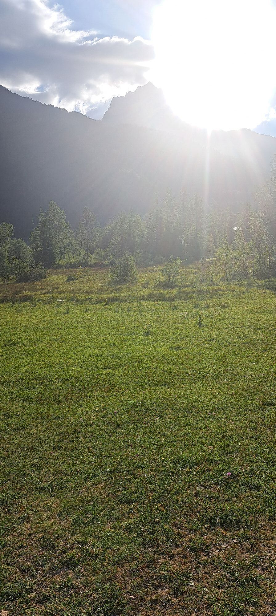
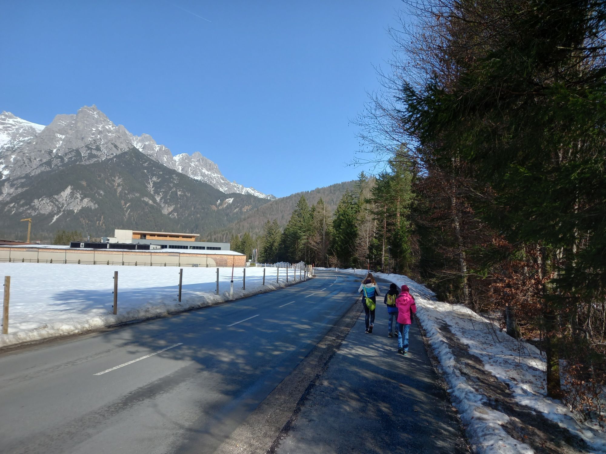
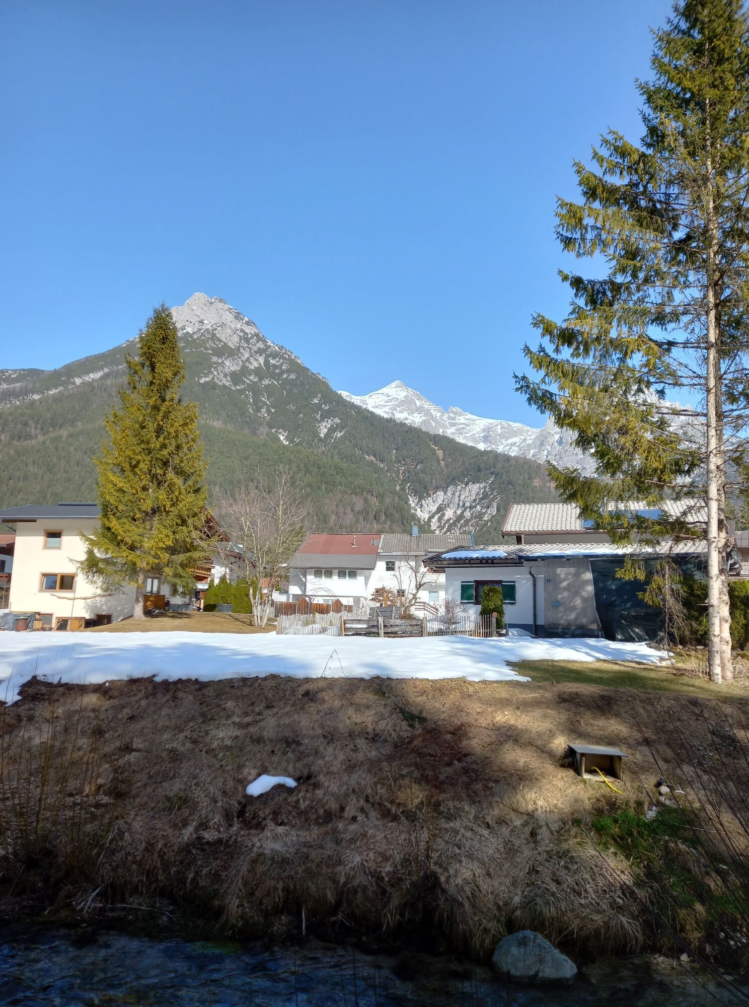
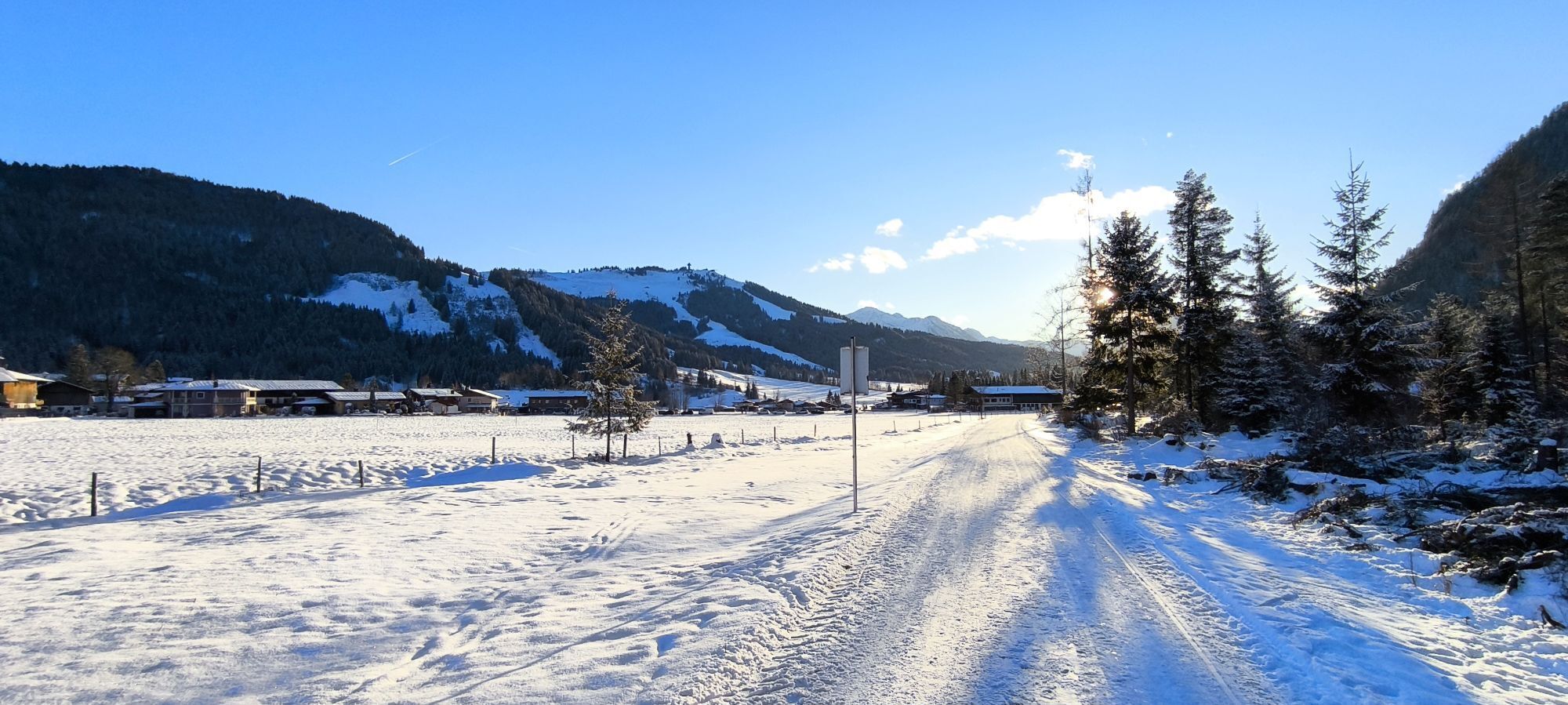
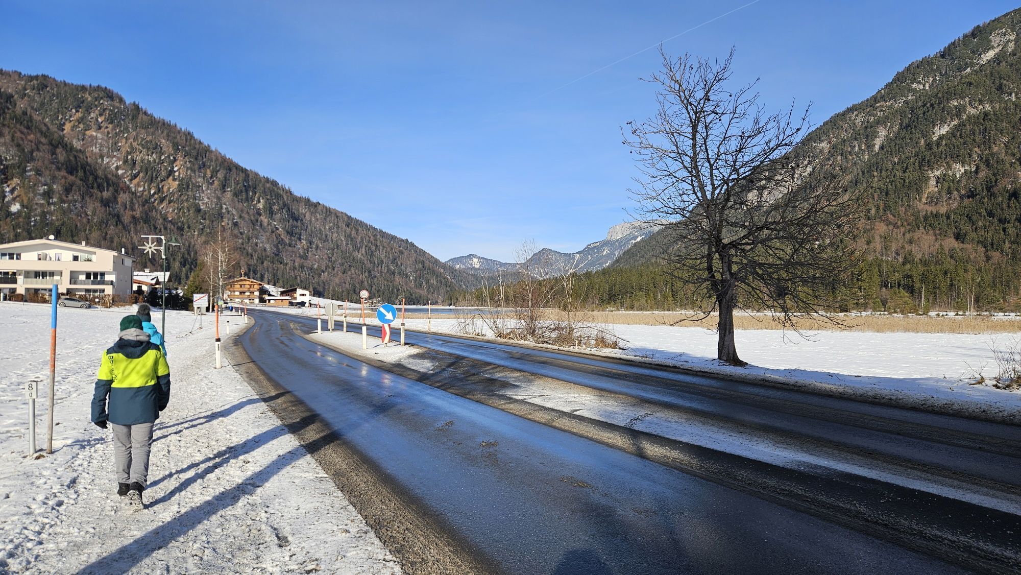
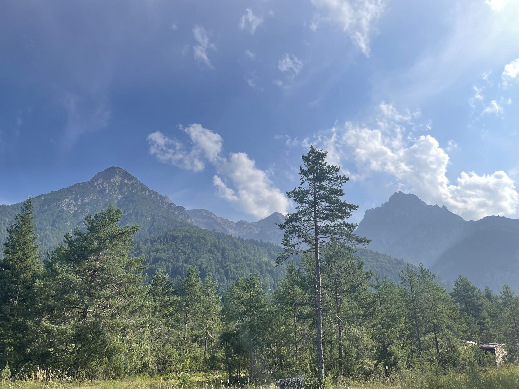
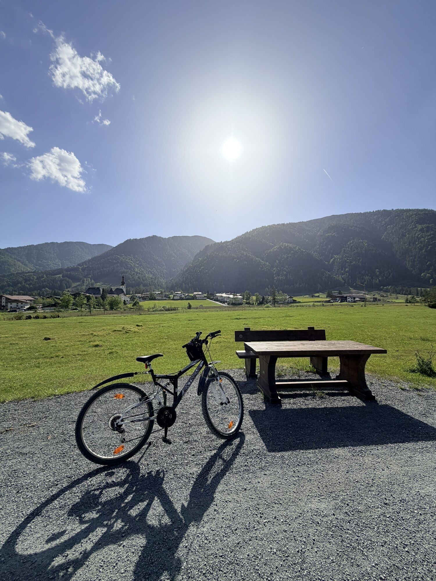
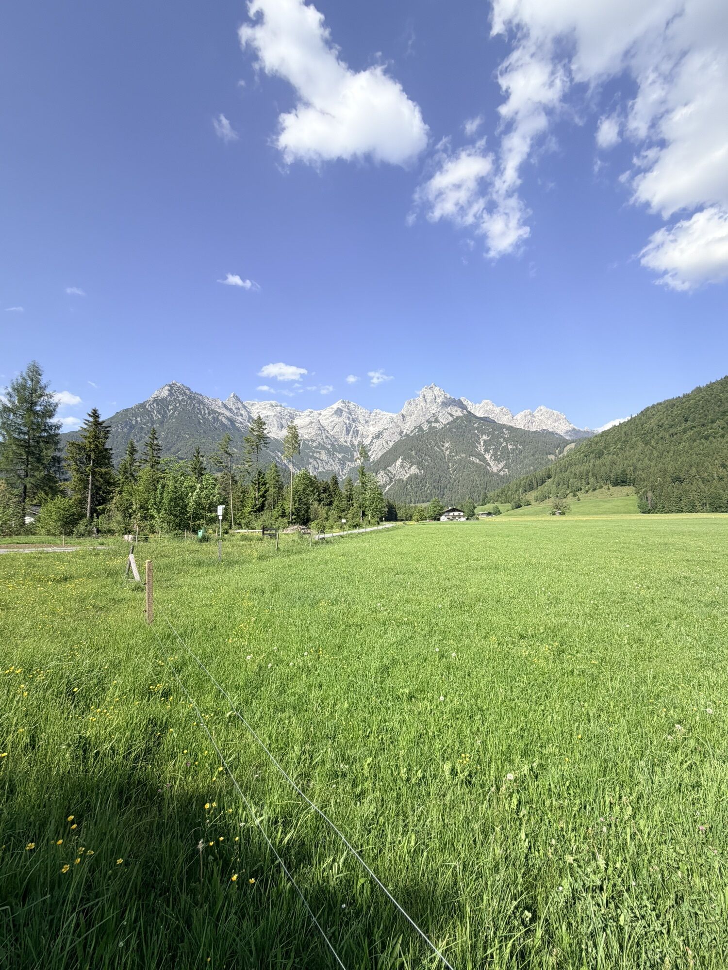
From the „Dorf/Pillersee parking“ cross the footbridge over the small river and walk straight on. Then the trail leads right behind Neuwieben in the direction of Weißleiten. In the area of the Koglfasser...
From the „Dorf/Pillersee parking“ cross the footbridge
over the small river and walk straight on. Then the trail
leads right behind Neuwieben in the direction of Weißleiten.
In the area of the Koglfasser path take the path to
Weiler Au and from there you‘ll reach the Strasserwirt.
After Strass take the walking/bike path back into the
village center of St. Ulrich am Pillersee.

in allen Tourismusverbänden im PillerseeTal
Webcams del recorrido

Rutas populares en los alrededores
-
4,7
Kirchdorf: Zur geheimnisvollen Teufelsgasse
medioSenderismo 7,90 km -
4,3
Erpfendorf: Griesbachklamm
medioSenderismo 10 km -
4,7
Por el camino de la cascada hacia Almenwelt Lofer
medioSenderismo 3,29 km -
4,6
Seisenbergklamm
luzSenderismo 2,41 km -
4,4
Kitzbüheler Horn über Horn-Gipfel-Höhenweg
medioSendero temático 5,30 km -
4,8
Loferer Steinberge, zum Hinterhorn über die Schmid-Zabierow Hütte, 19.06.22
pesadoSenderismo 14,0 km -
4,2
Passauer Hütte
pesadoSenderismo 4,14 km -
4,6
St. Johann in Tirol: Wasserfall & 3 Seen am Kitzbüheler Horn
medioSenderismo 12,7 km -
4,1
Montaña de los sentidos
luzSenderismo 4,39 km -
4,6
Birnbachloch Leogang, Österreich
medioSenderismo 5,18 km
Senderismo y rastreo


No se pierda las ofertas y la inspiración para sus próximas vacaciones
Su dirección de correo electrónico se ha añadido a la lista de correo.





