






Bischof (2127 m)

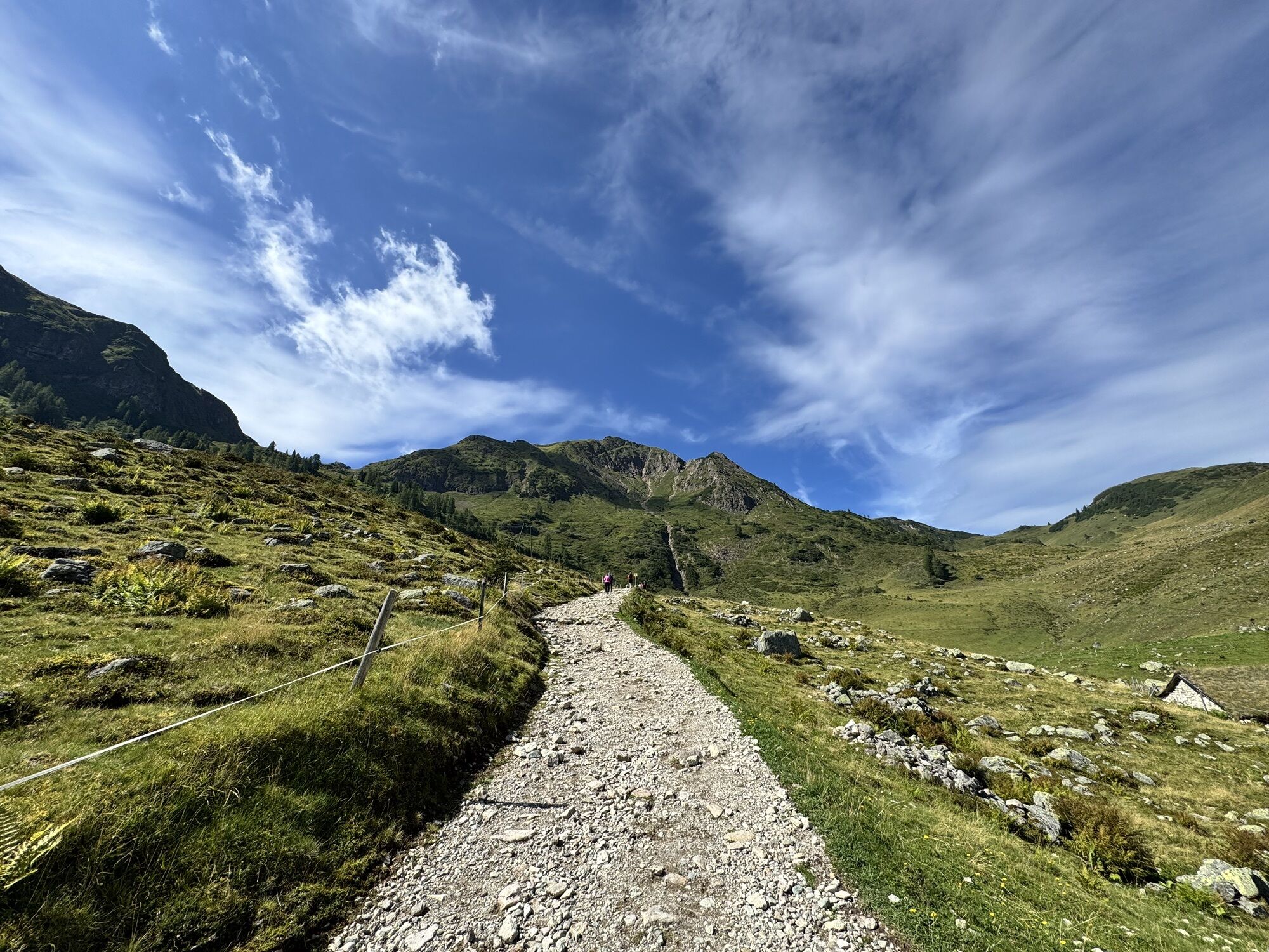
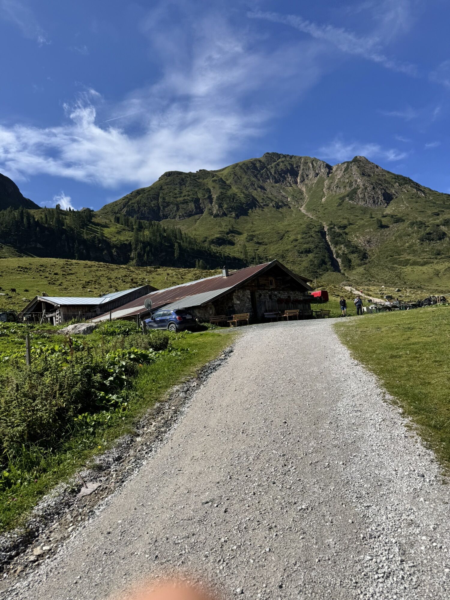
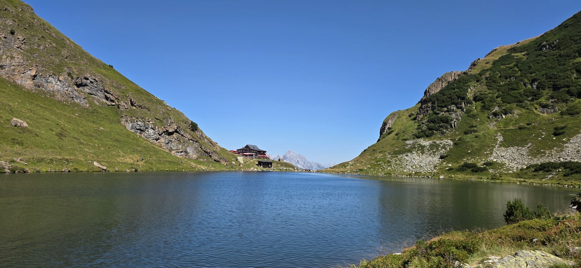
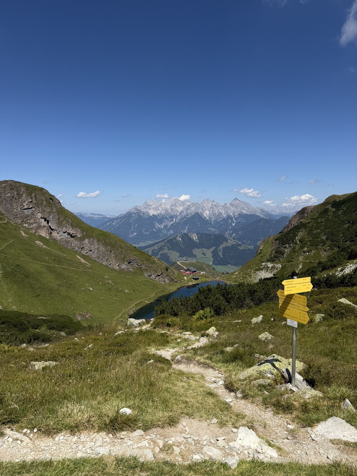
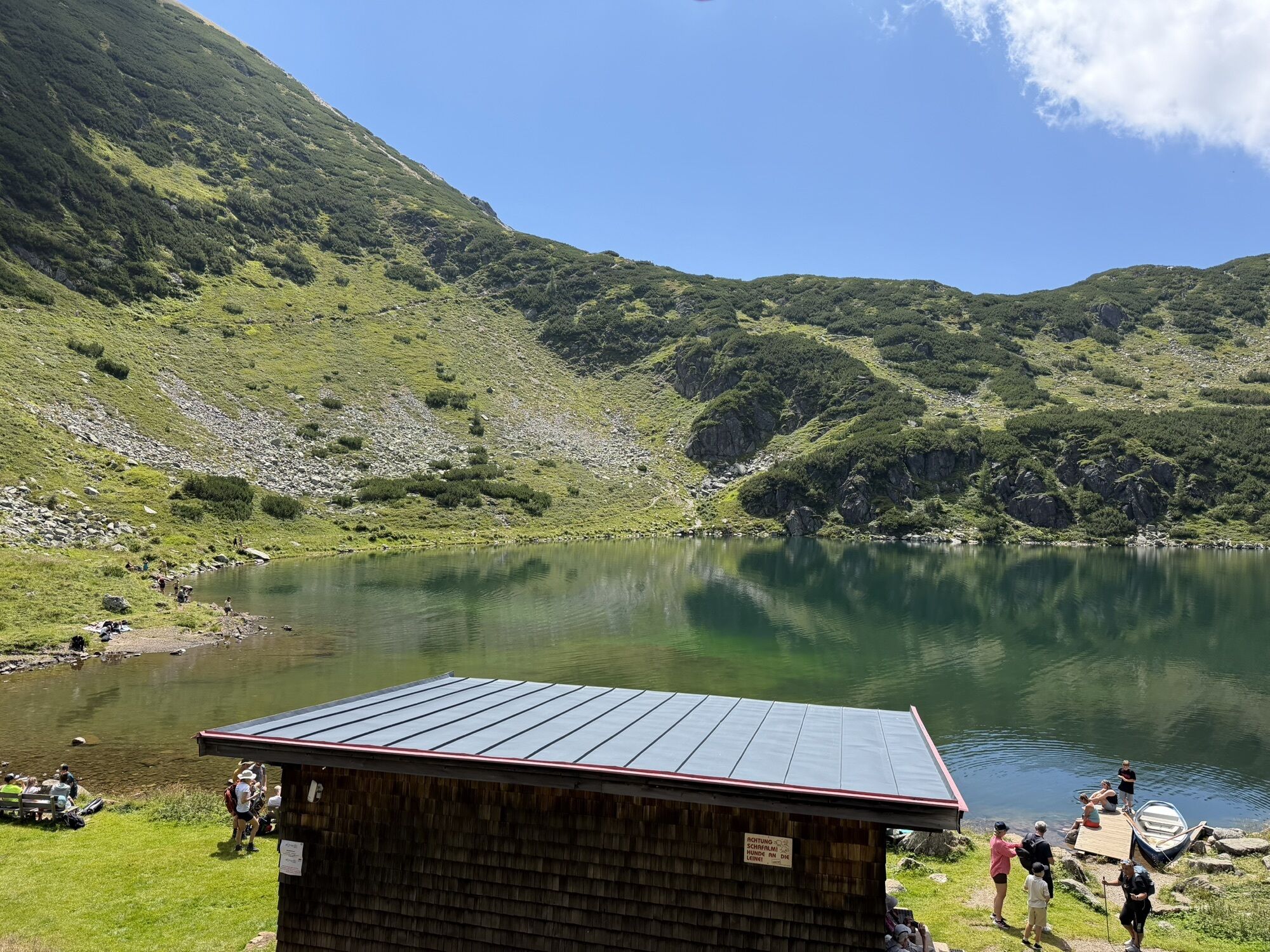
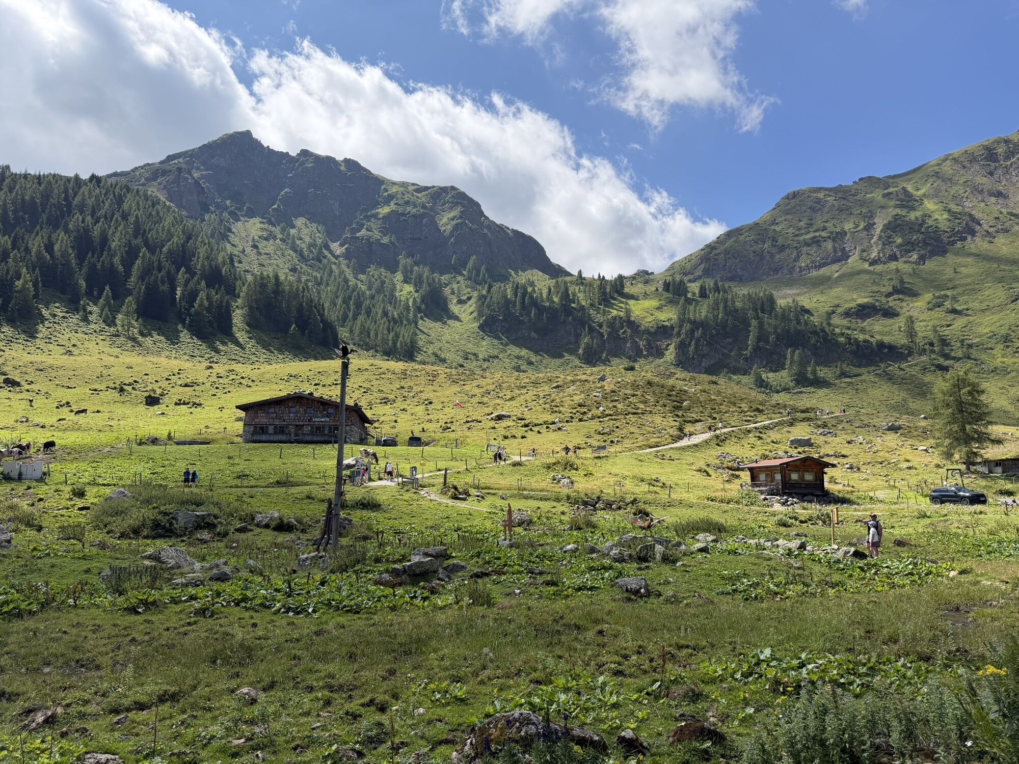
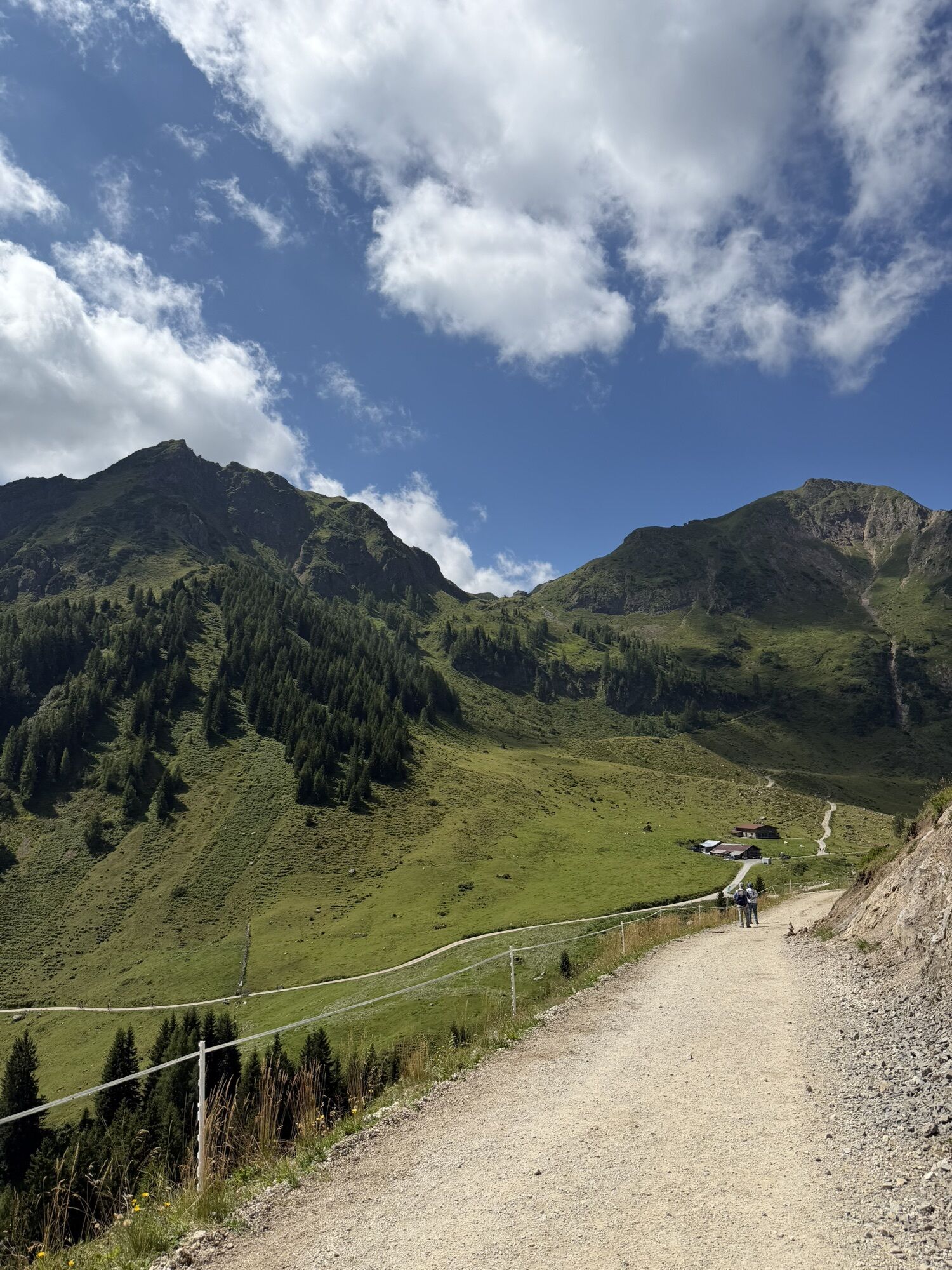
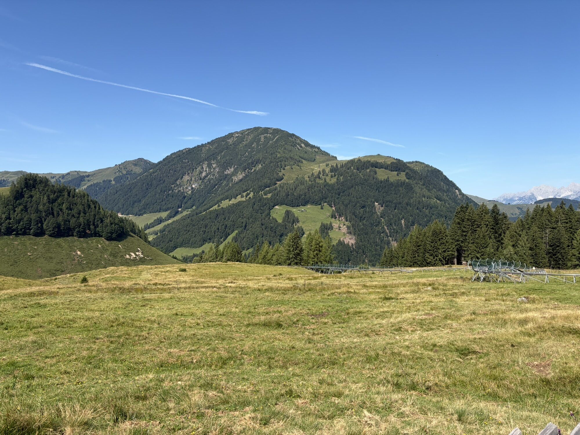
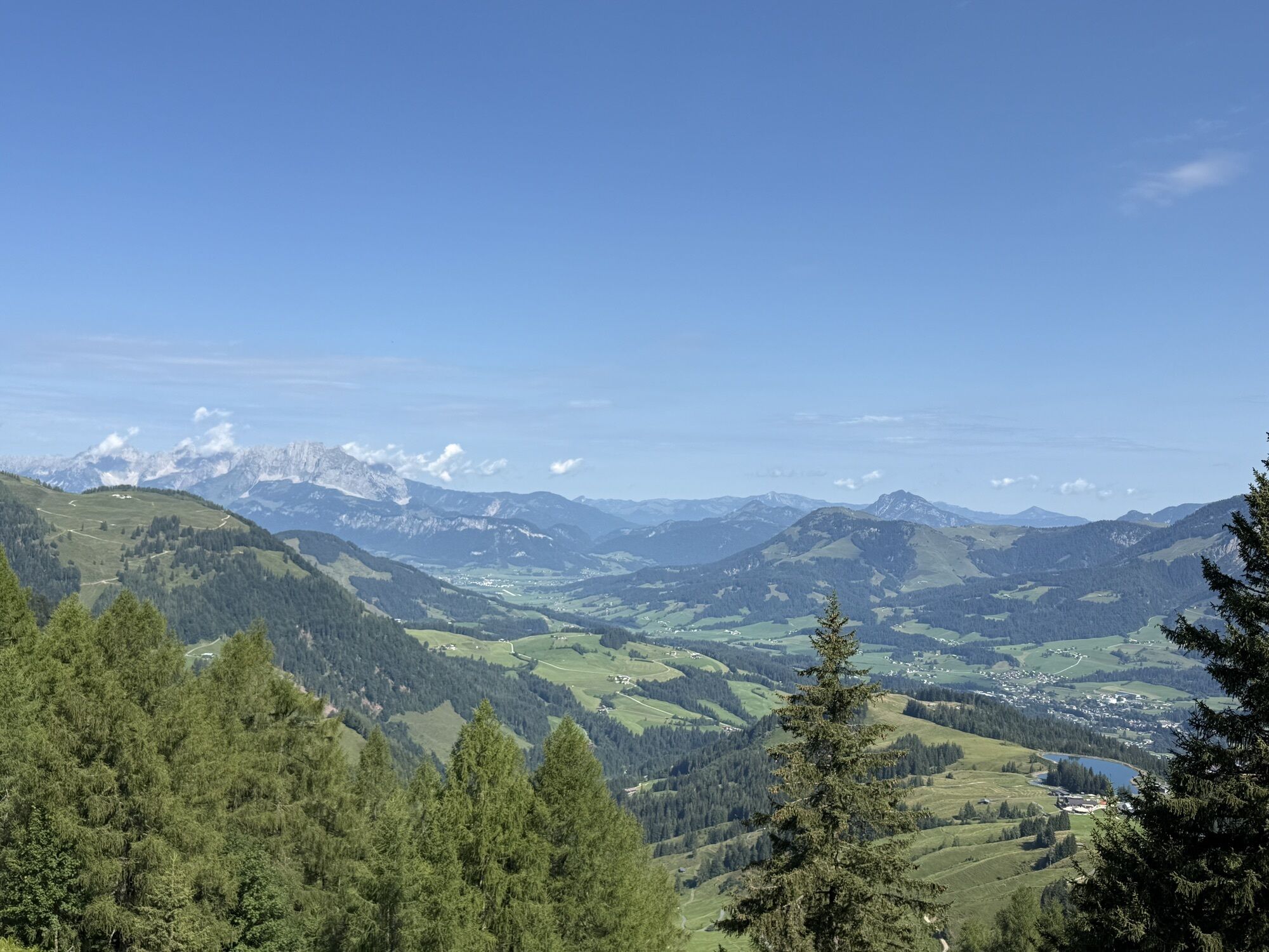
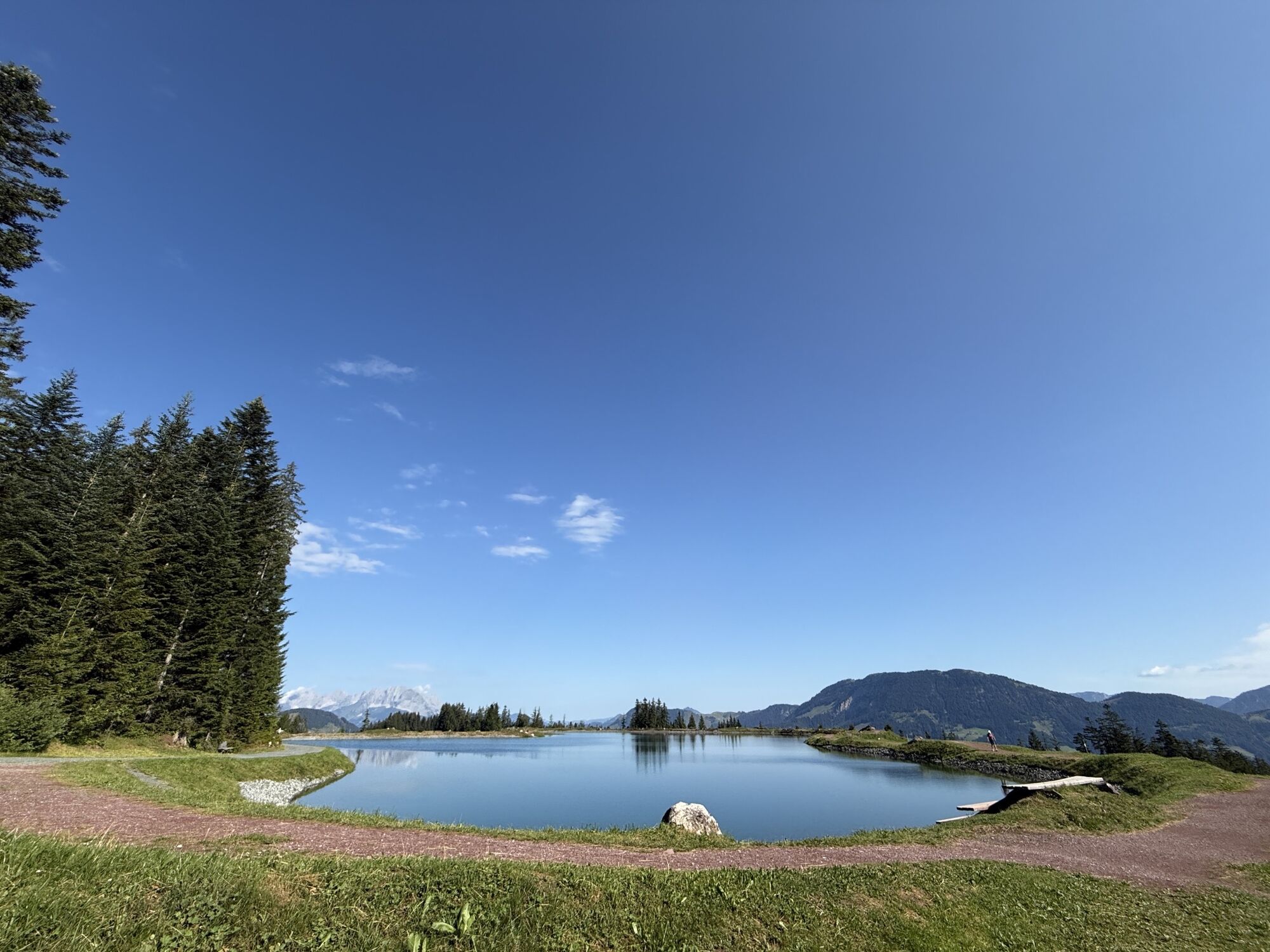
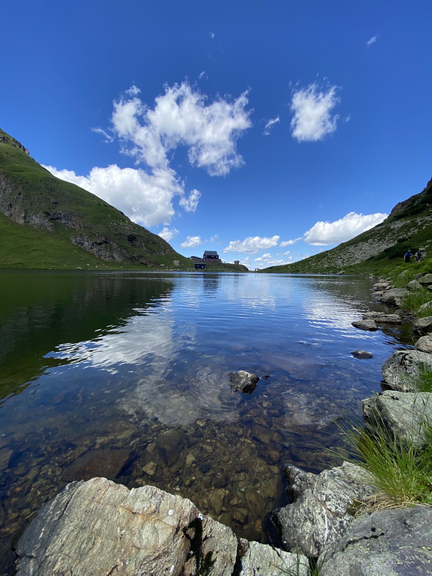
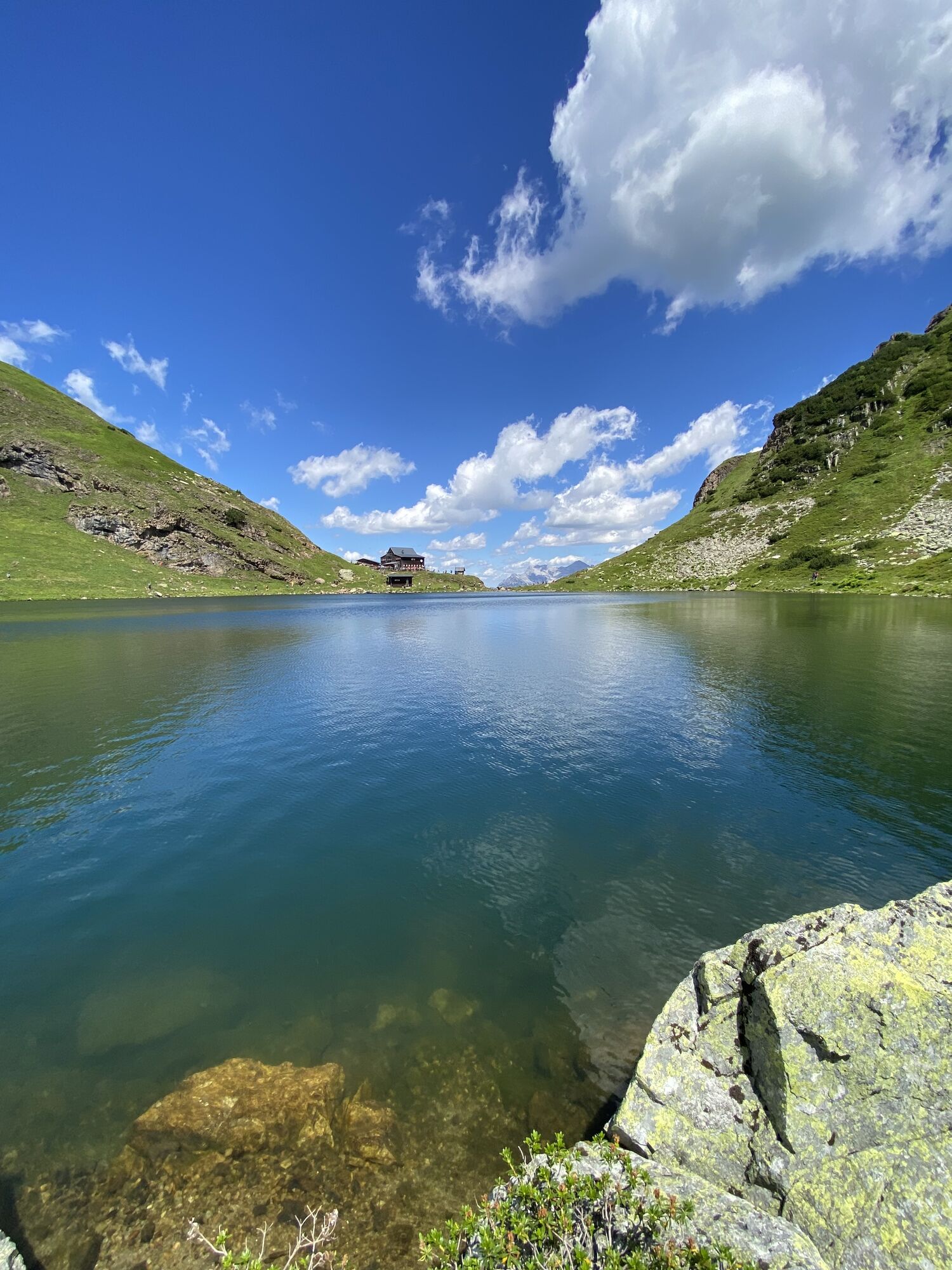
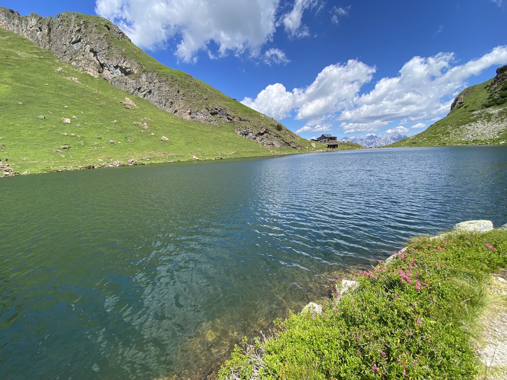
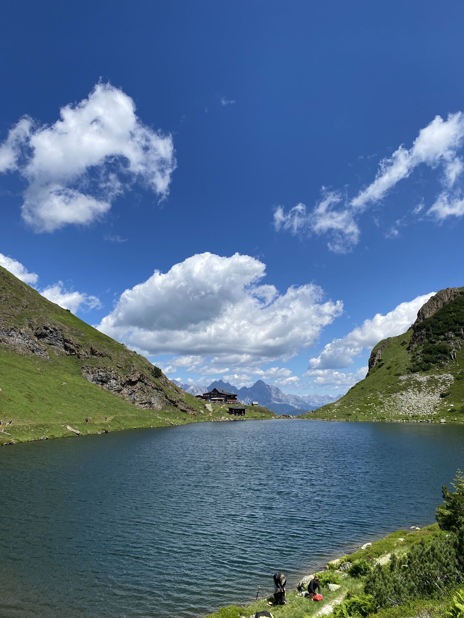
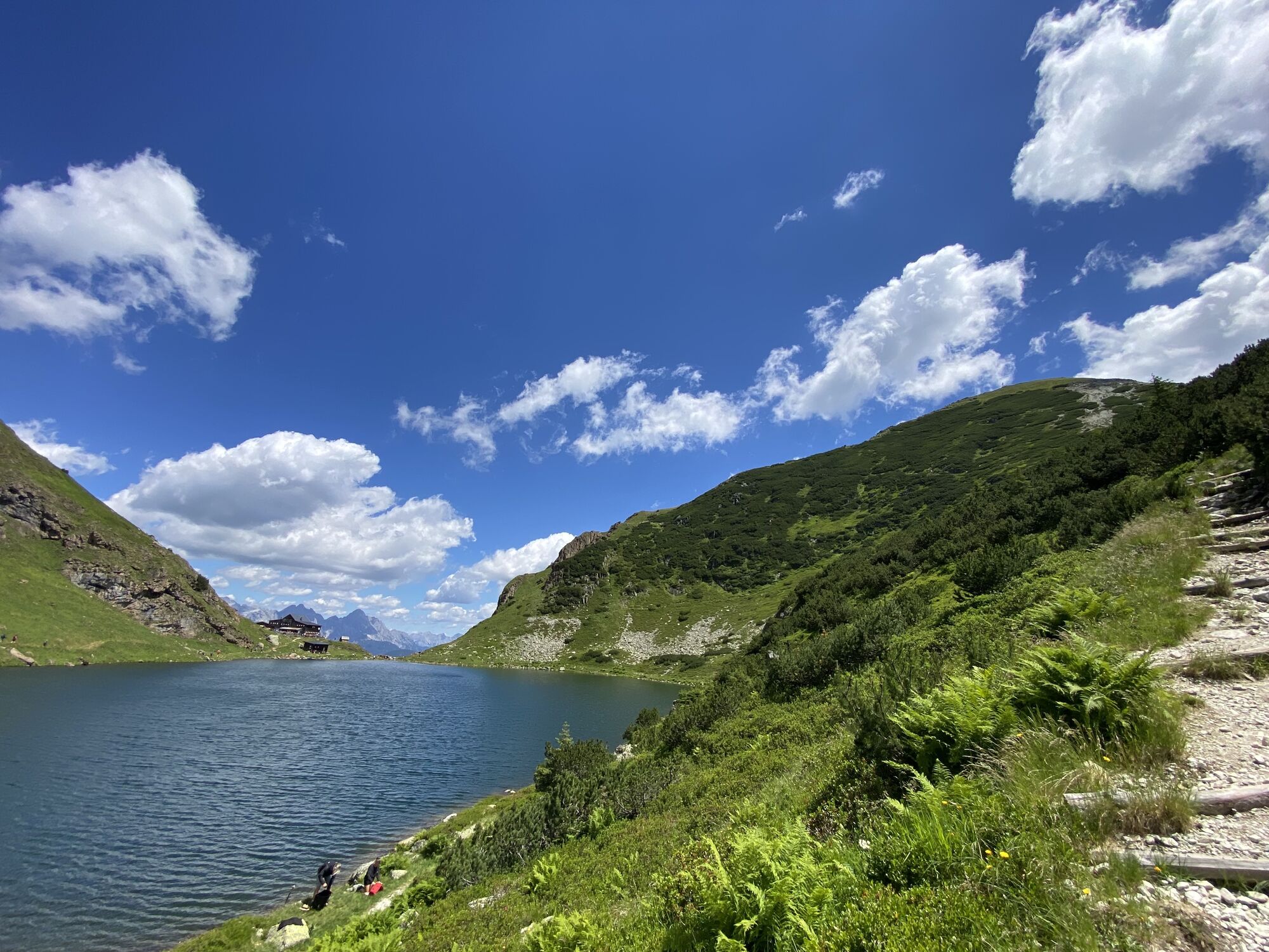
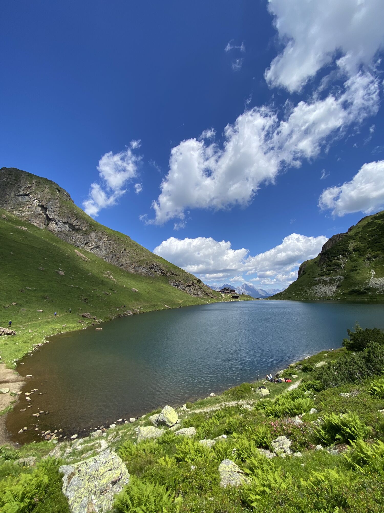
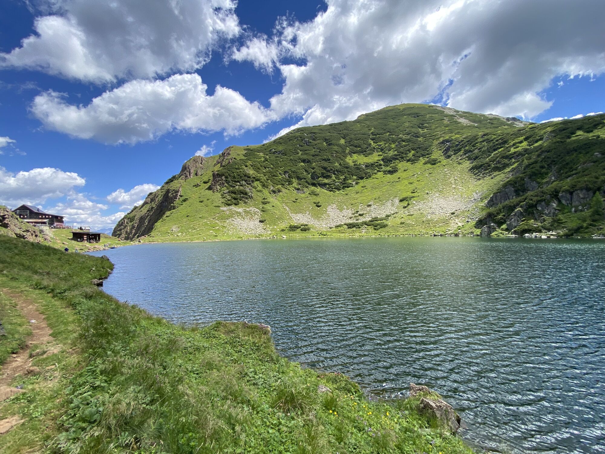
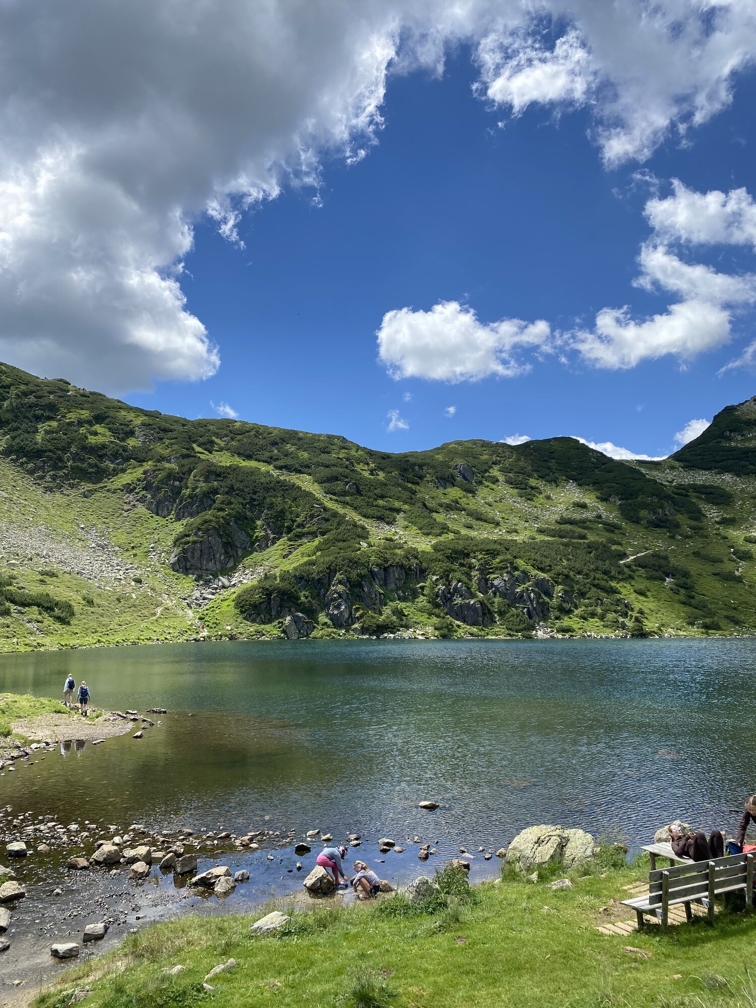
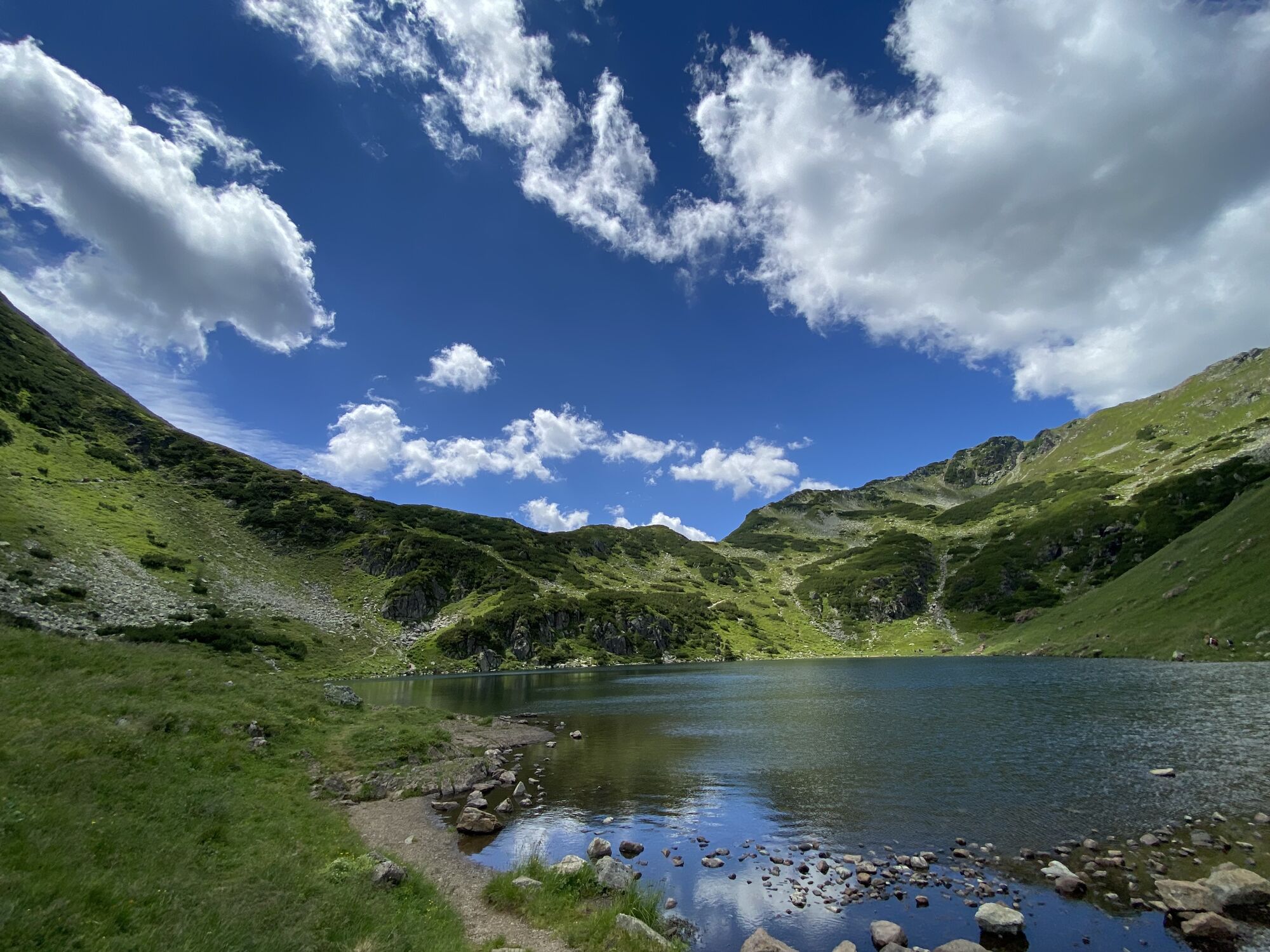
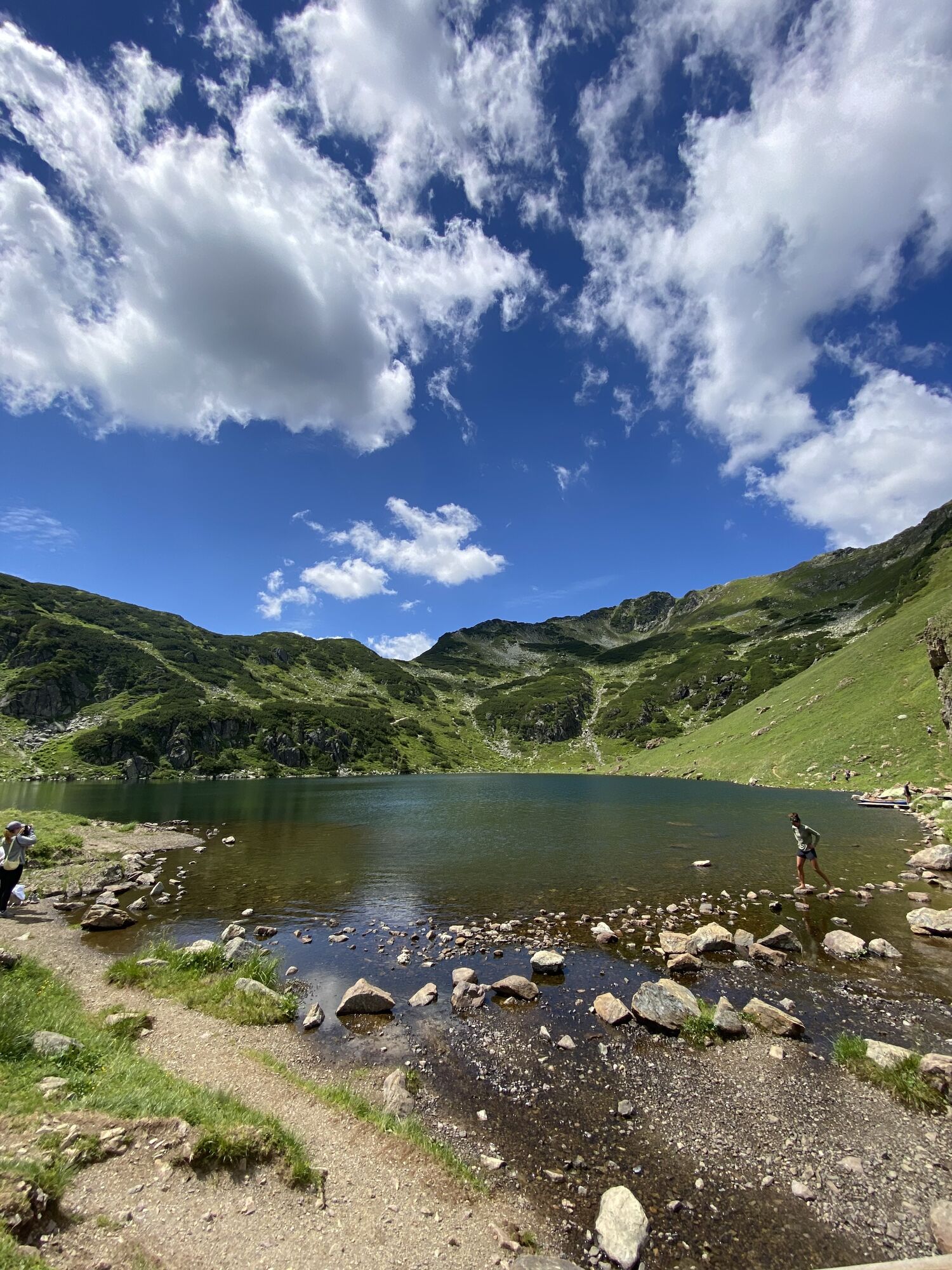
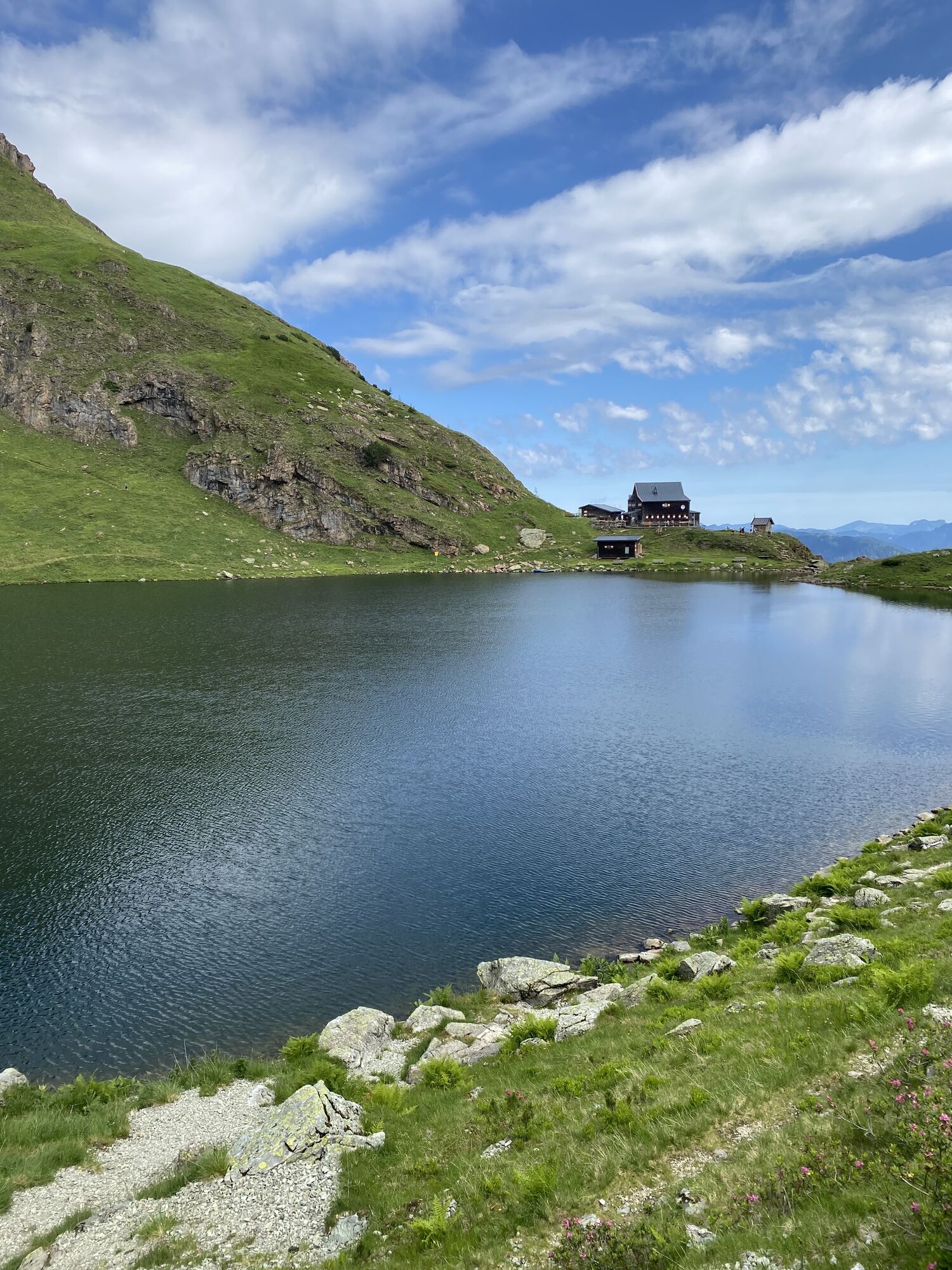
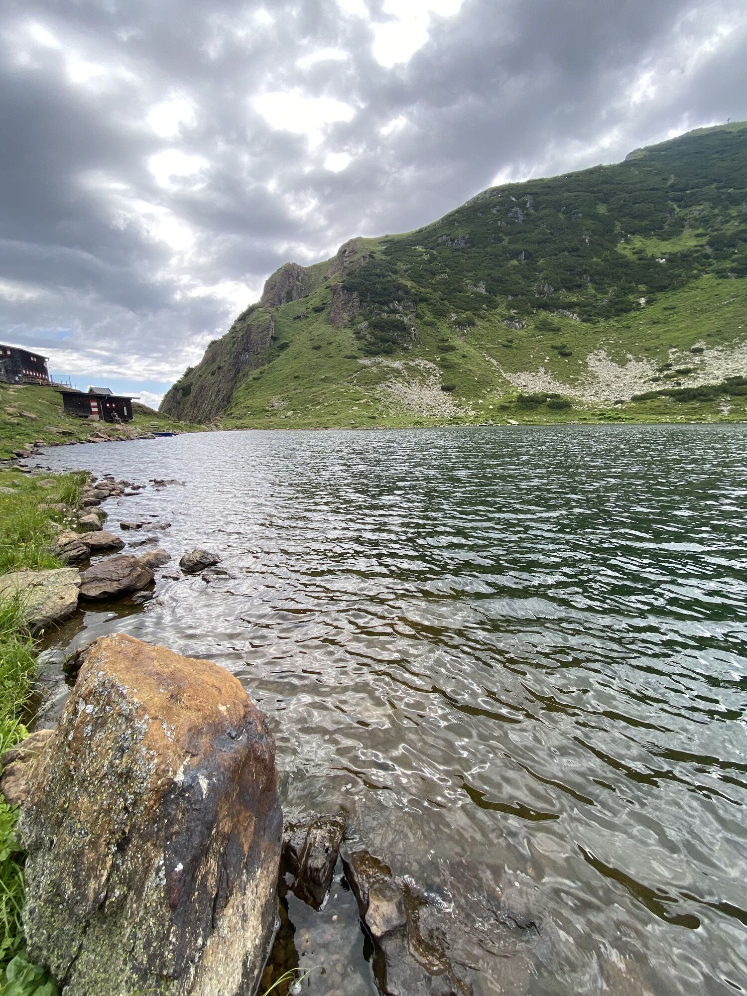
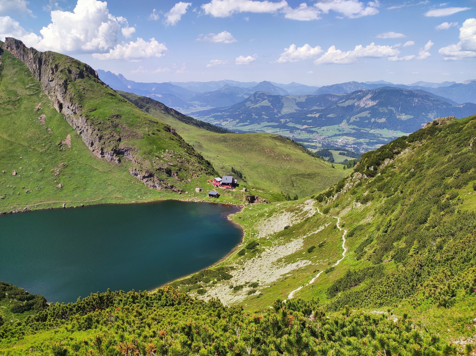
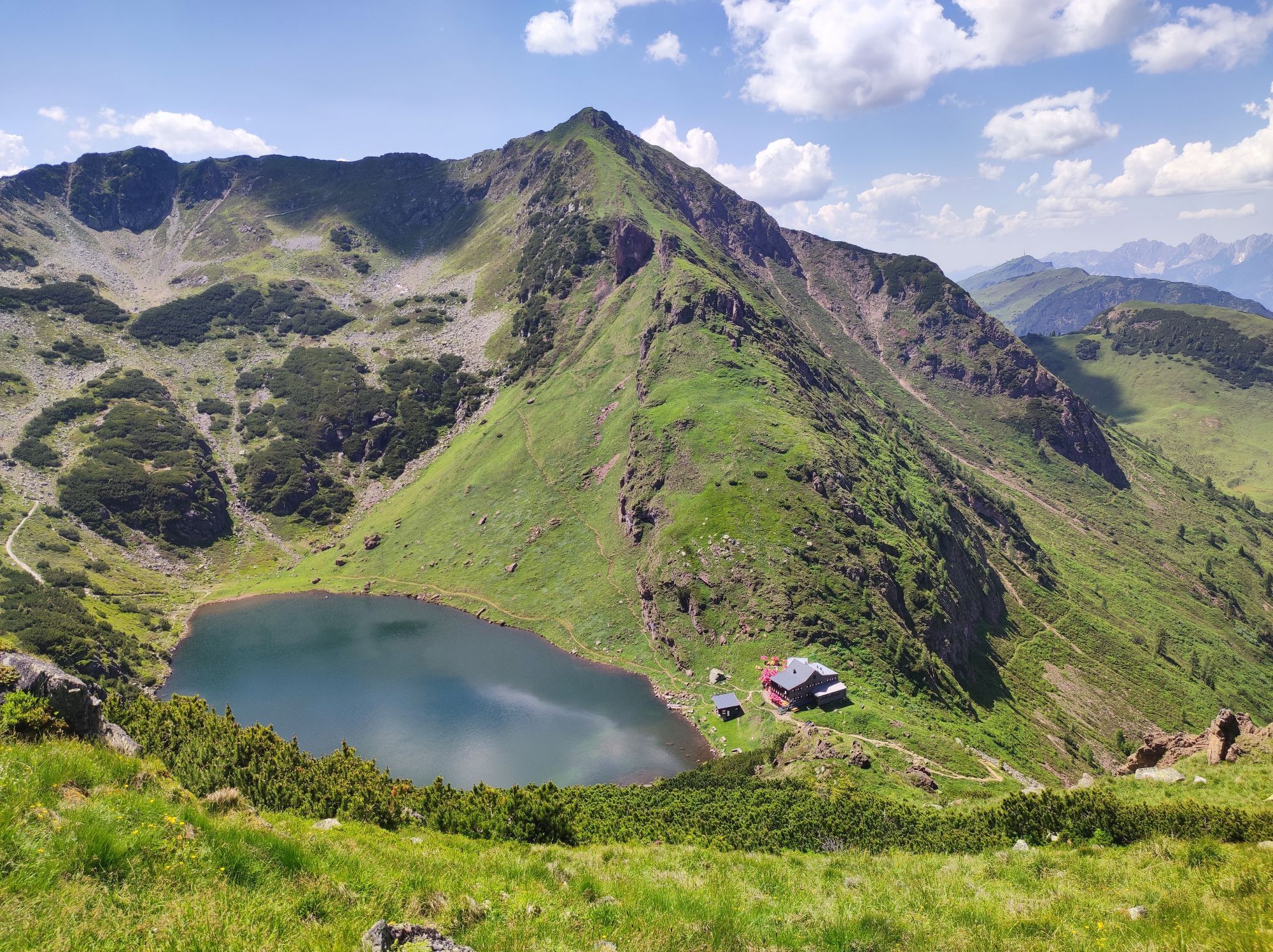
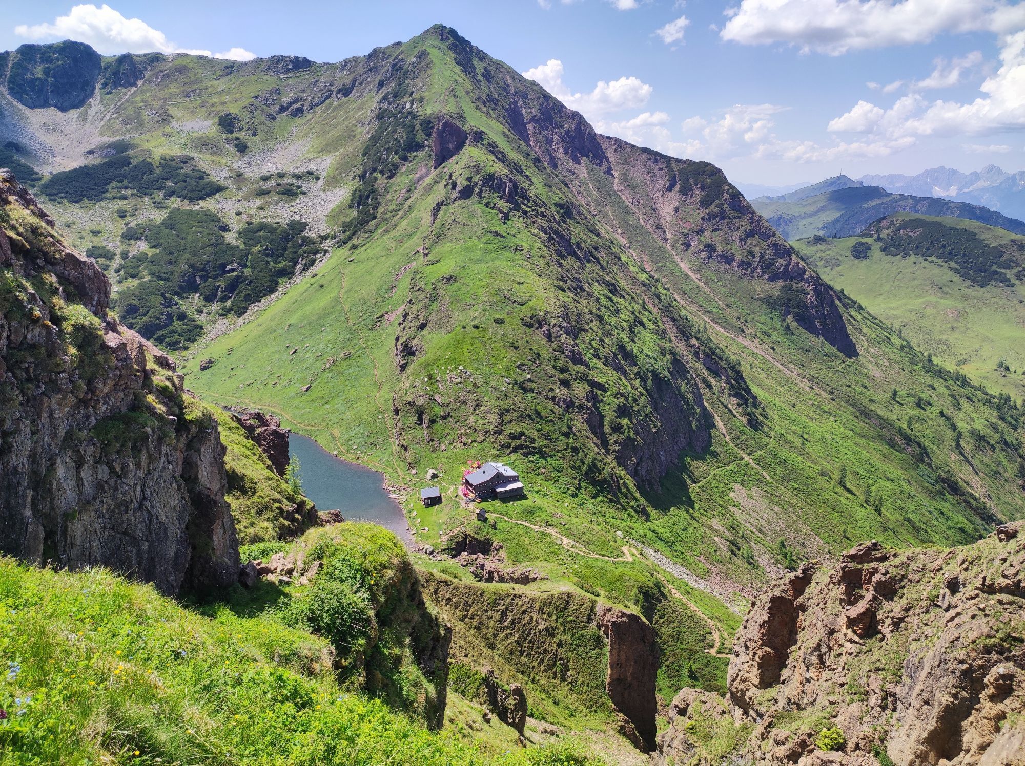
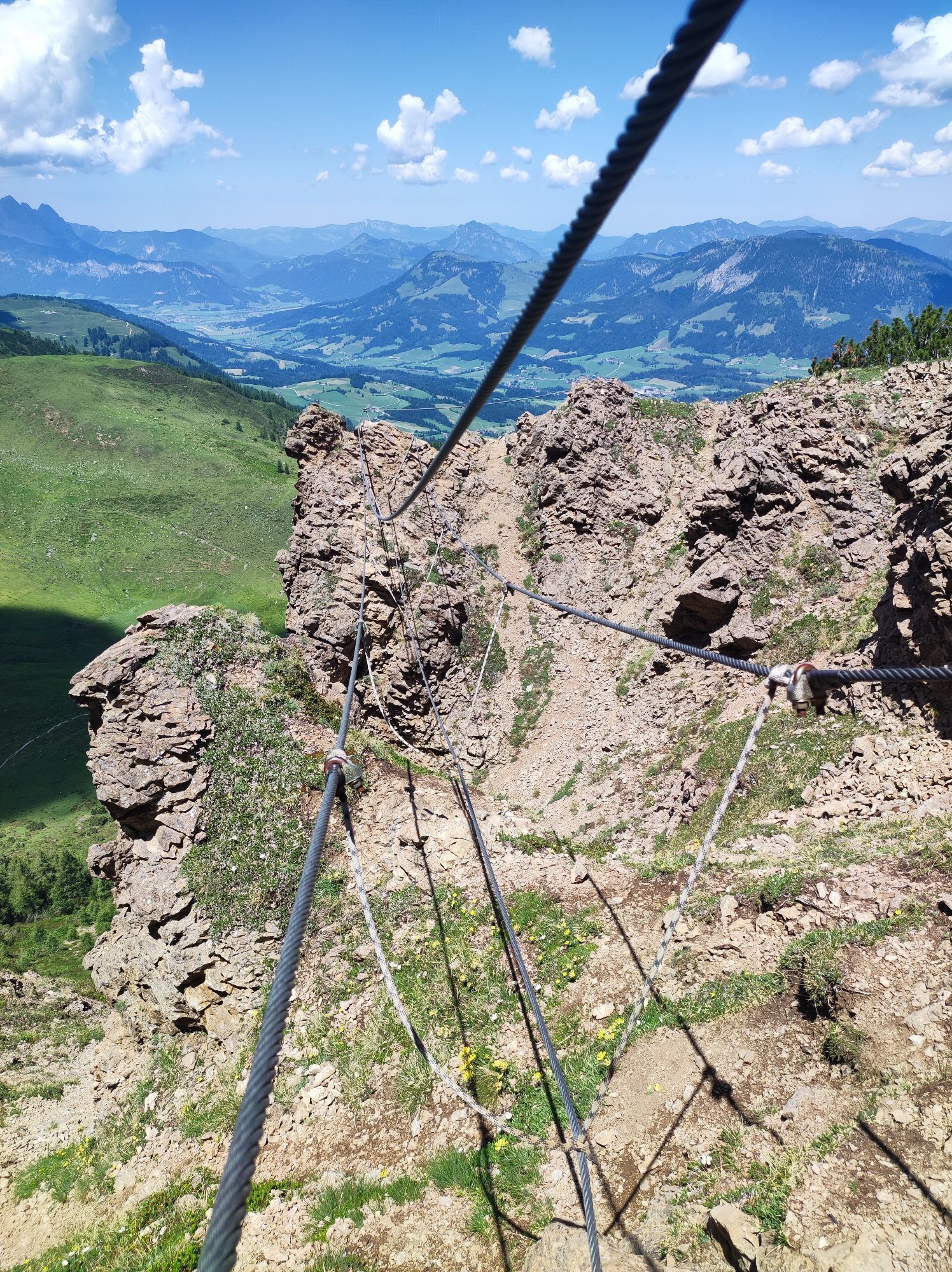
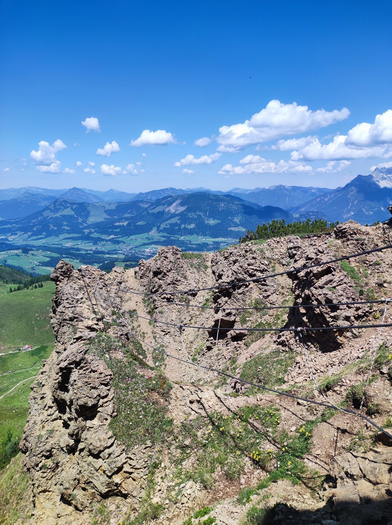
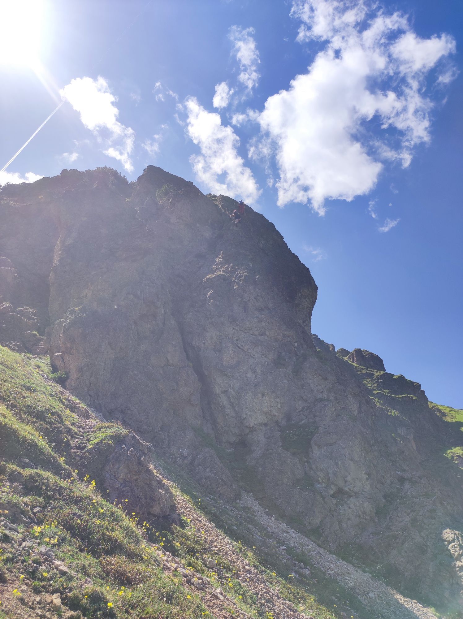
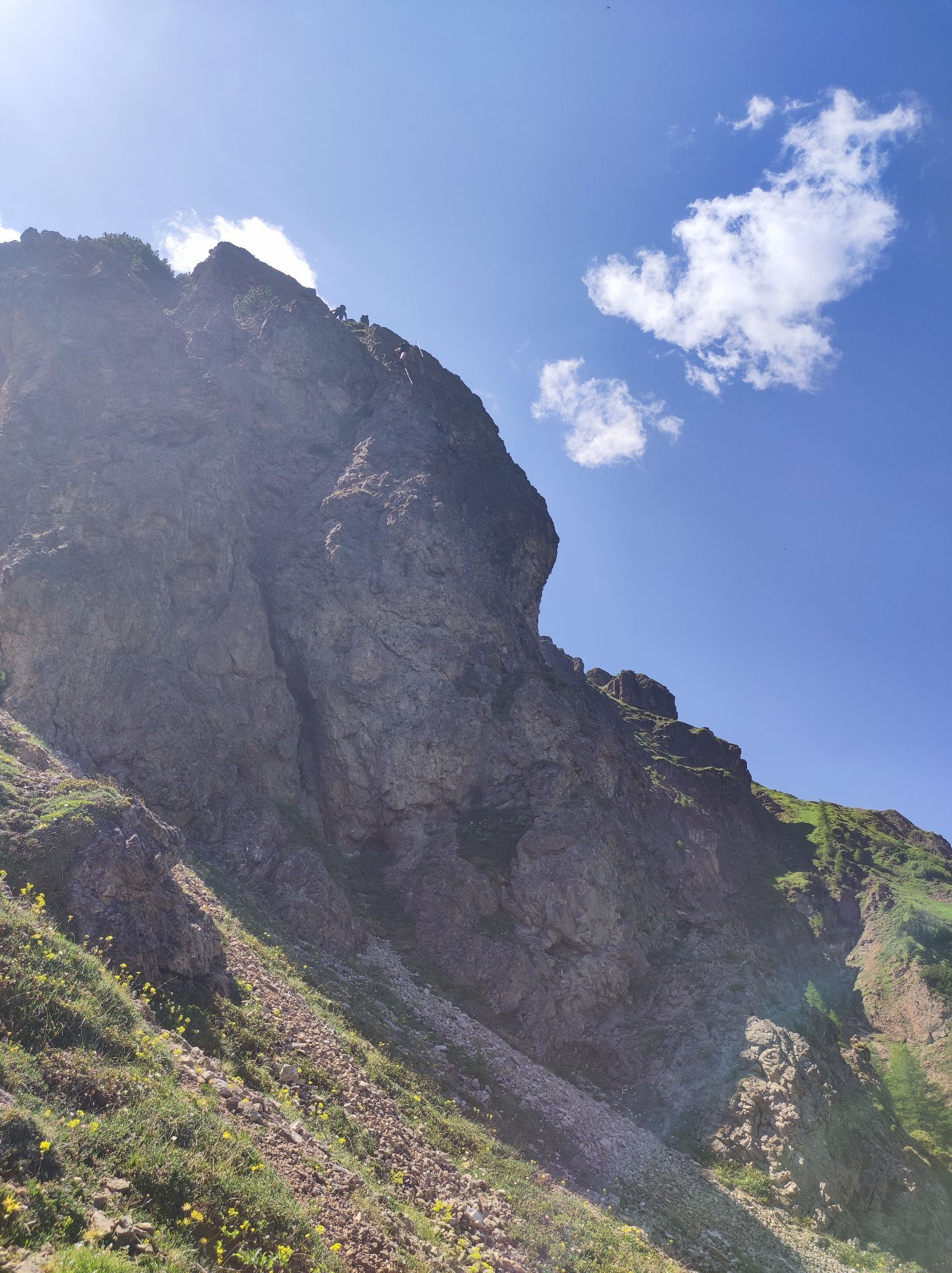
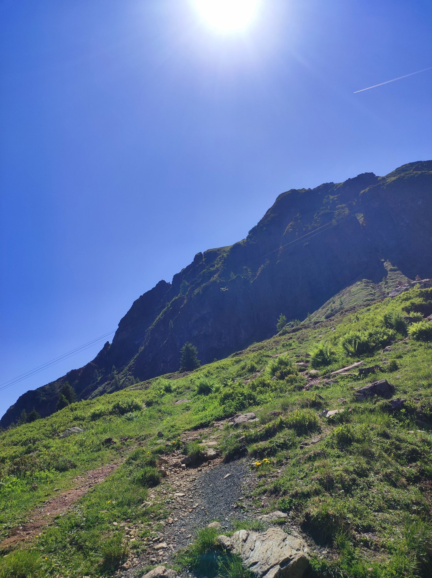
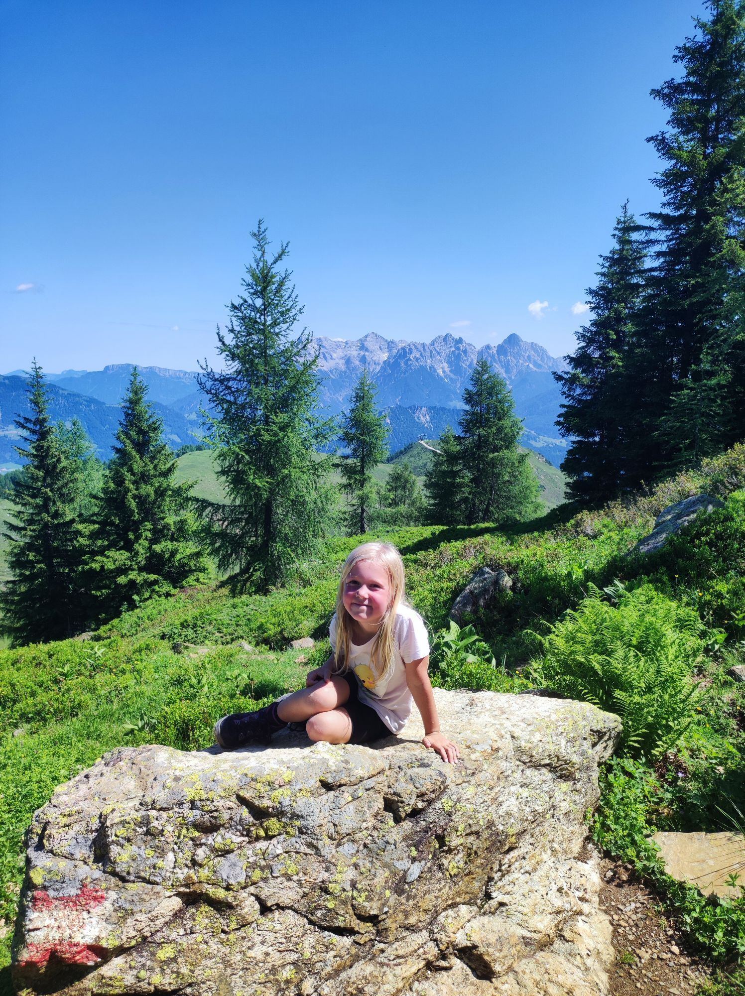
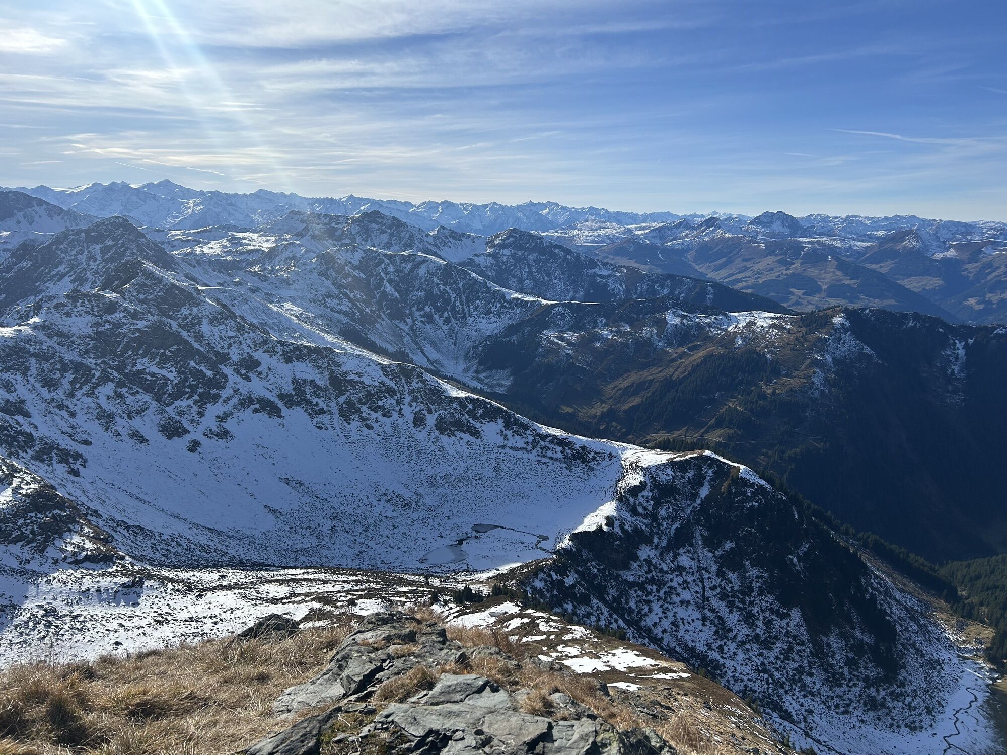
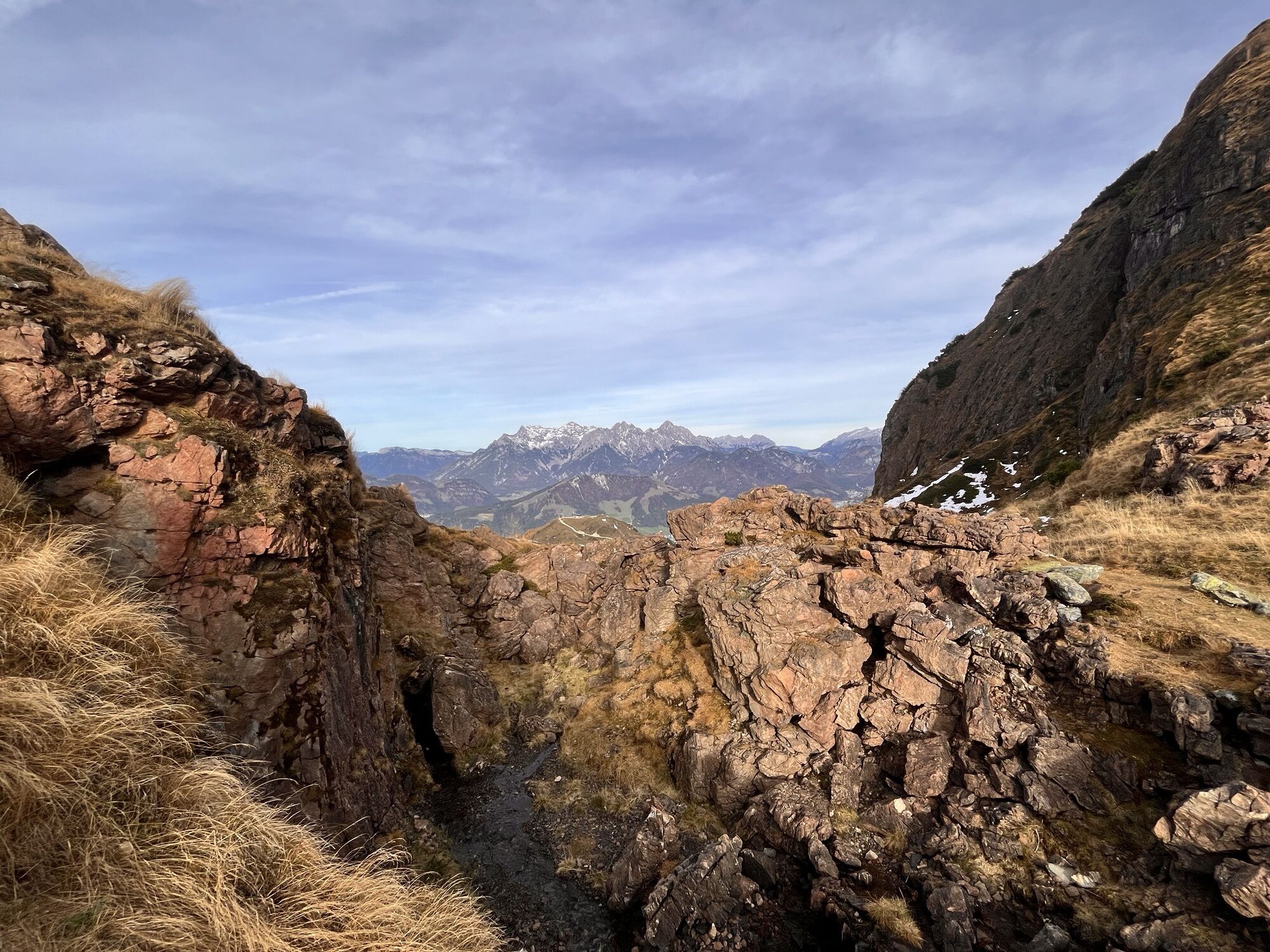
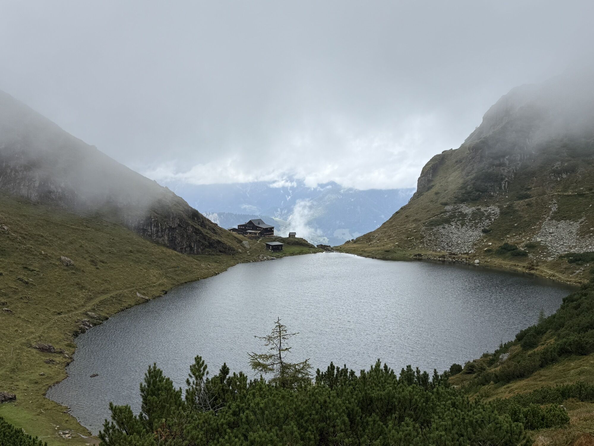
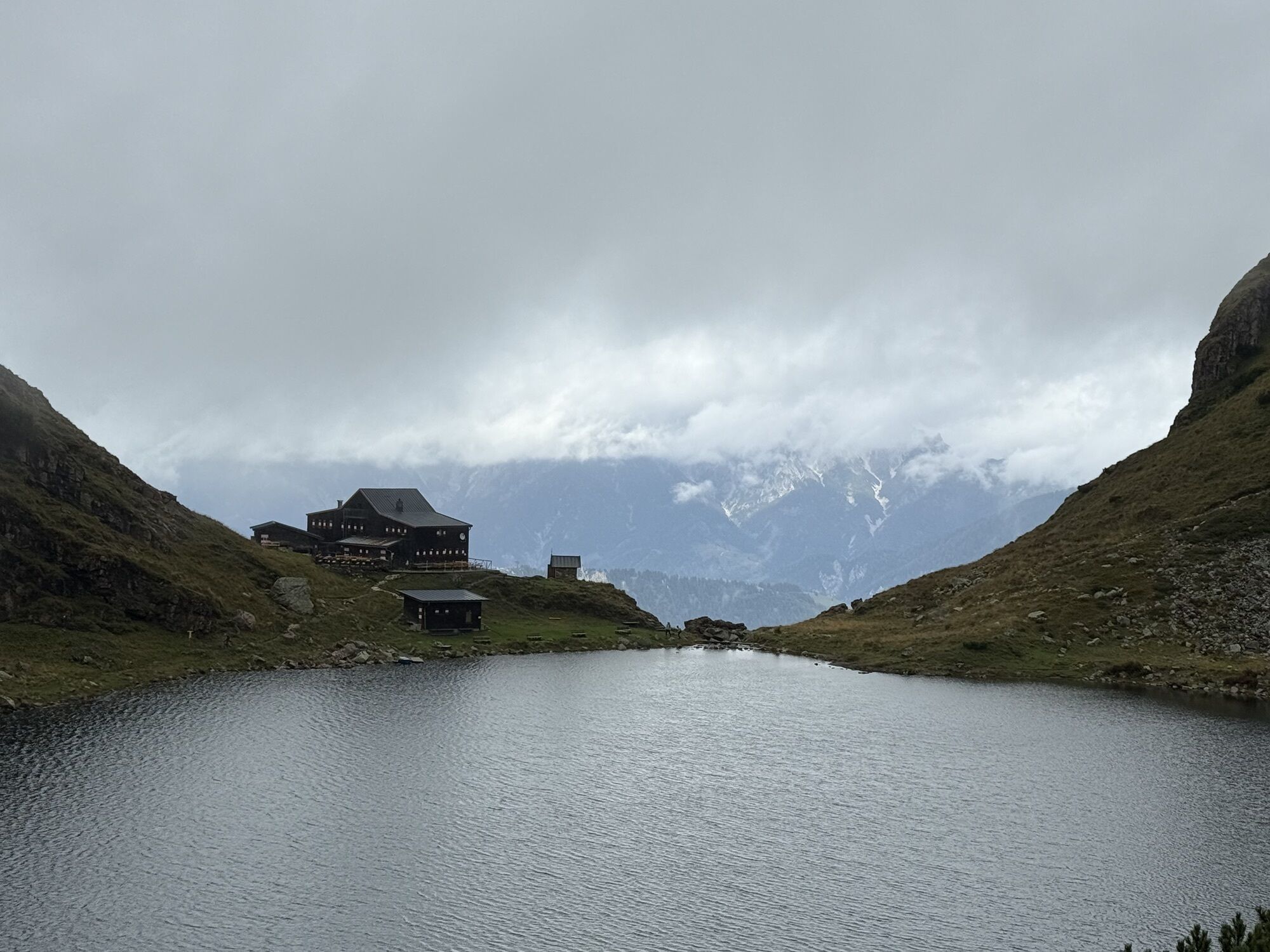
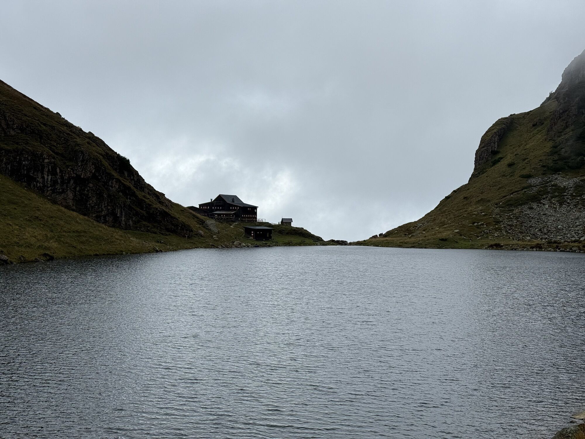
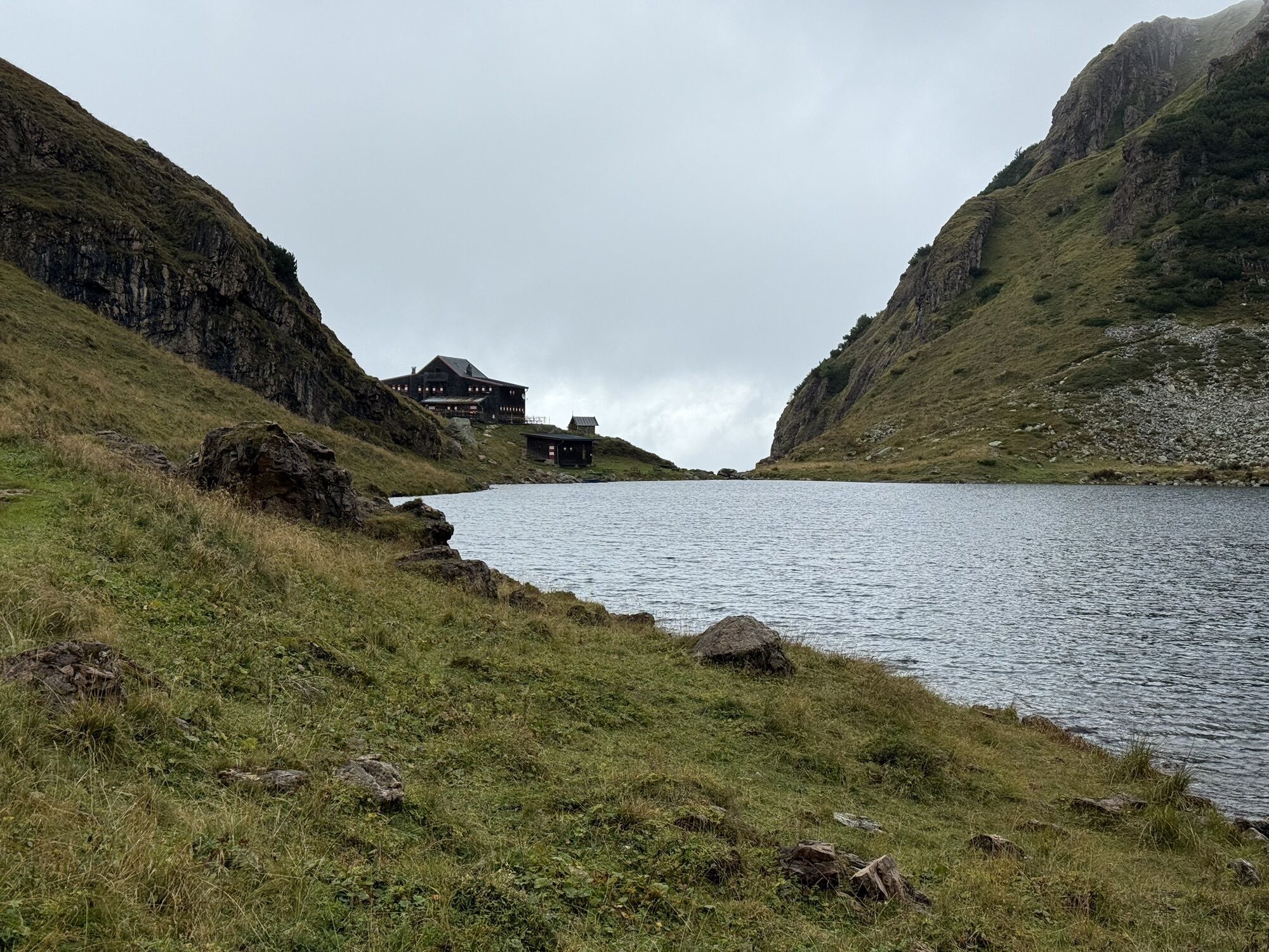
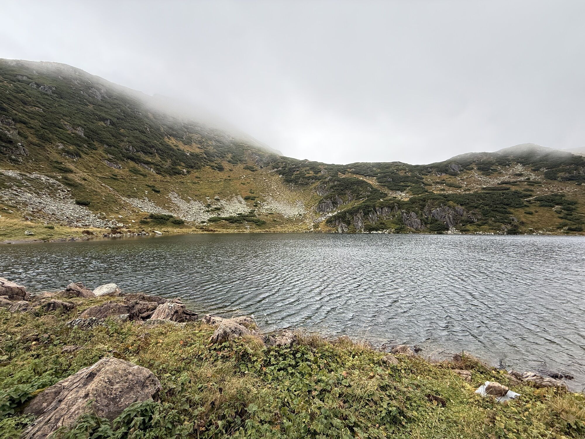
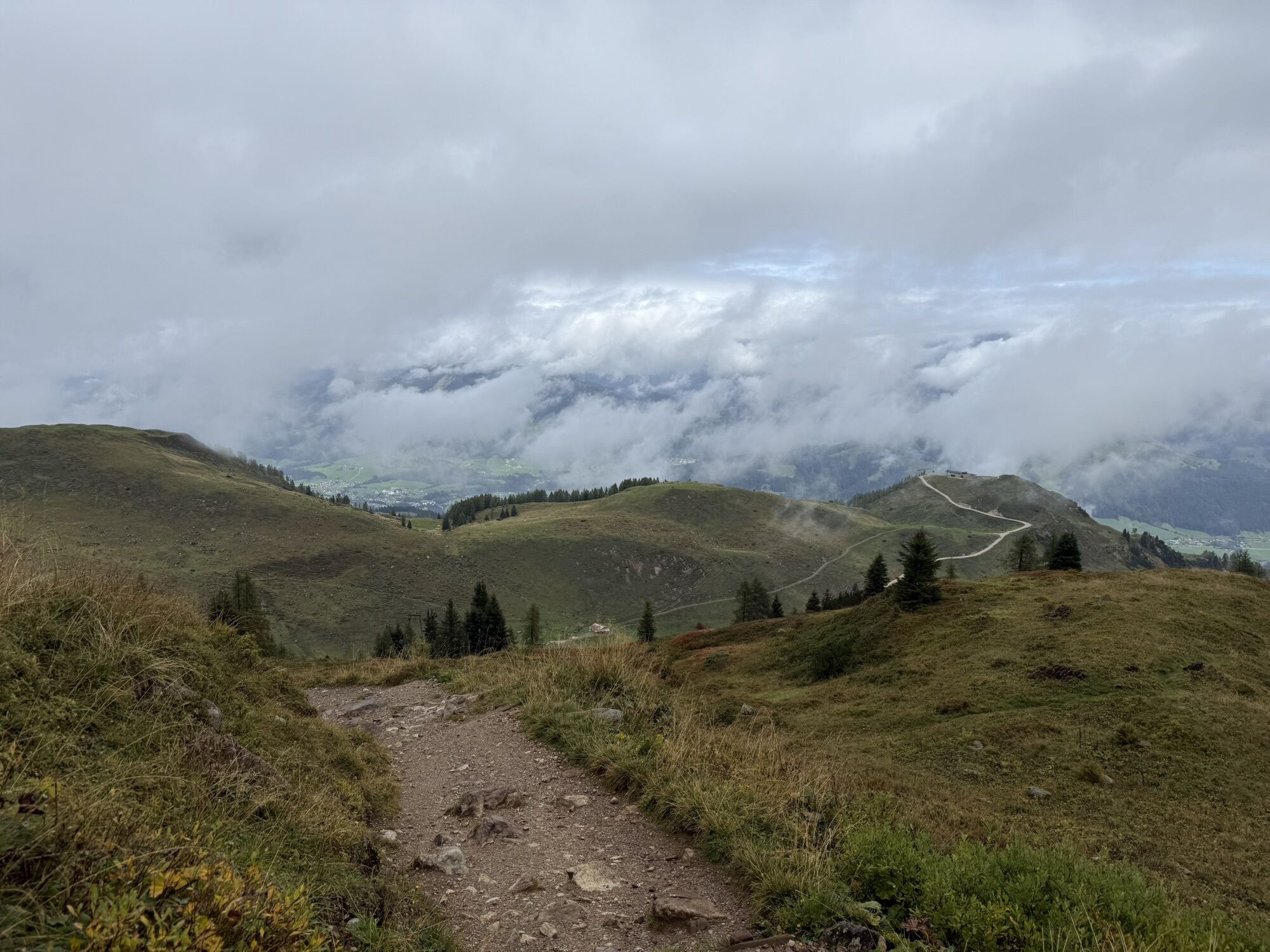
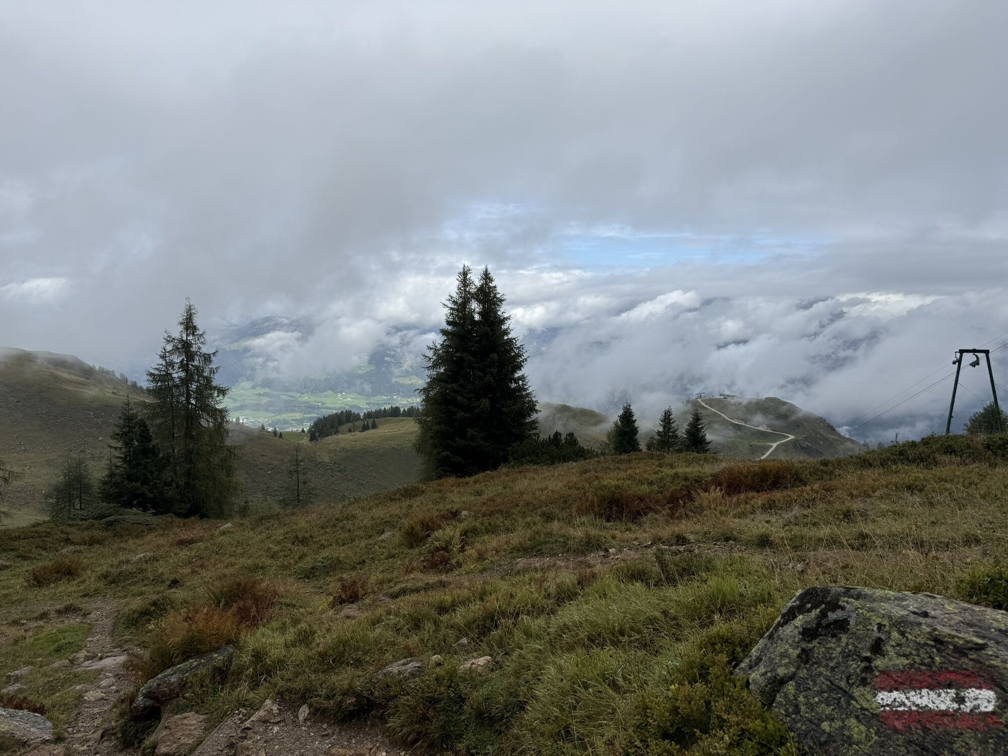
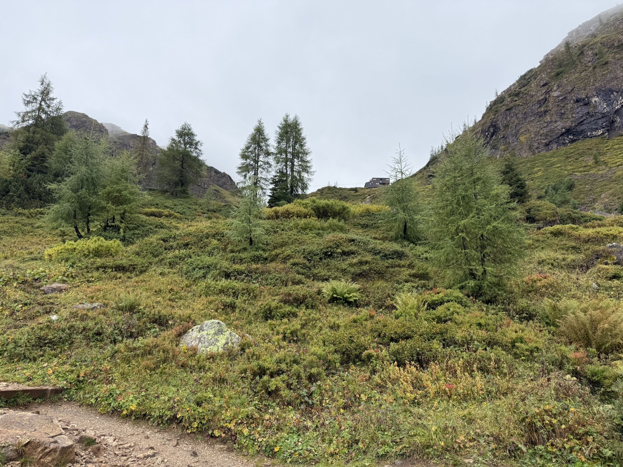
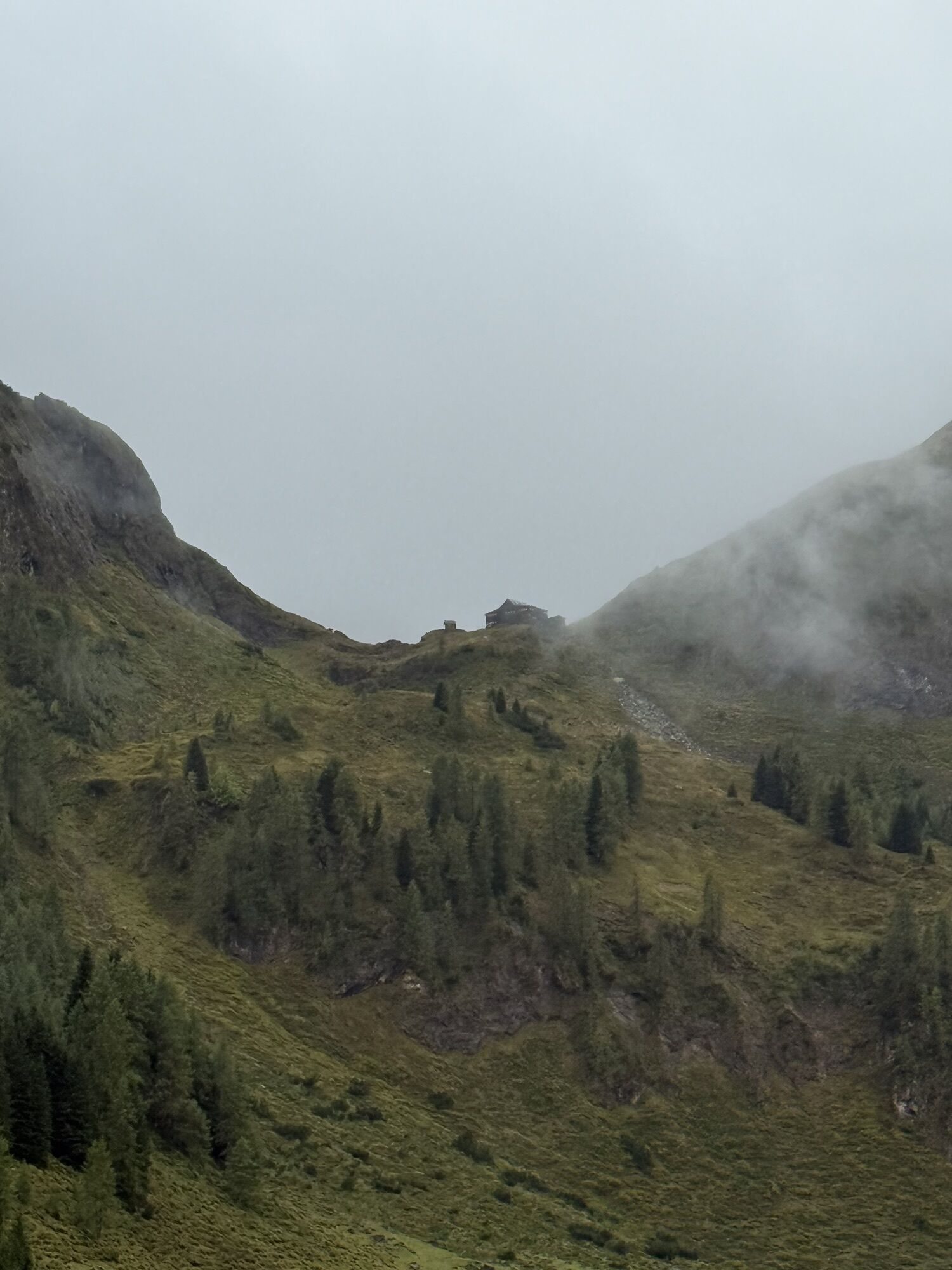
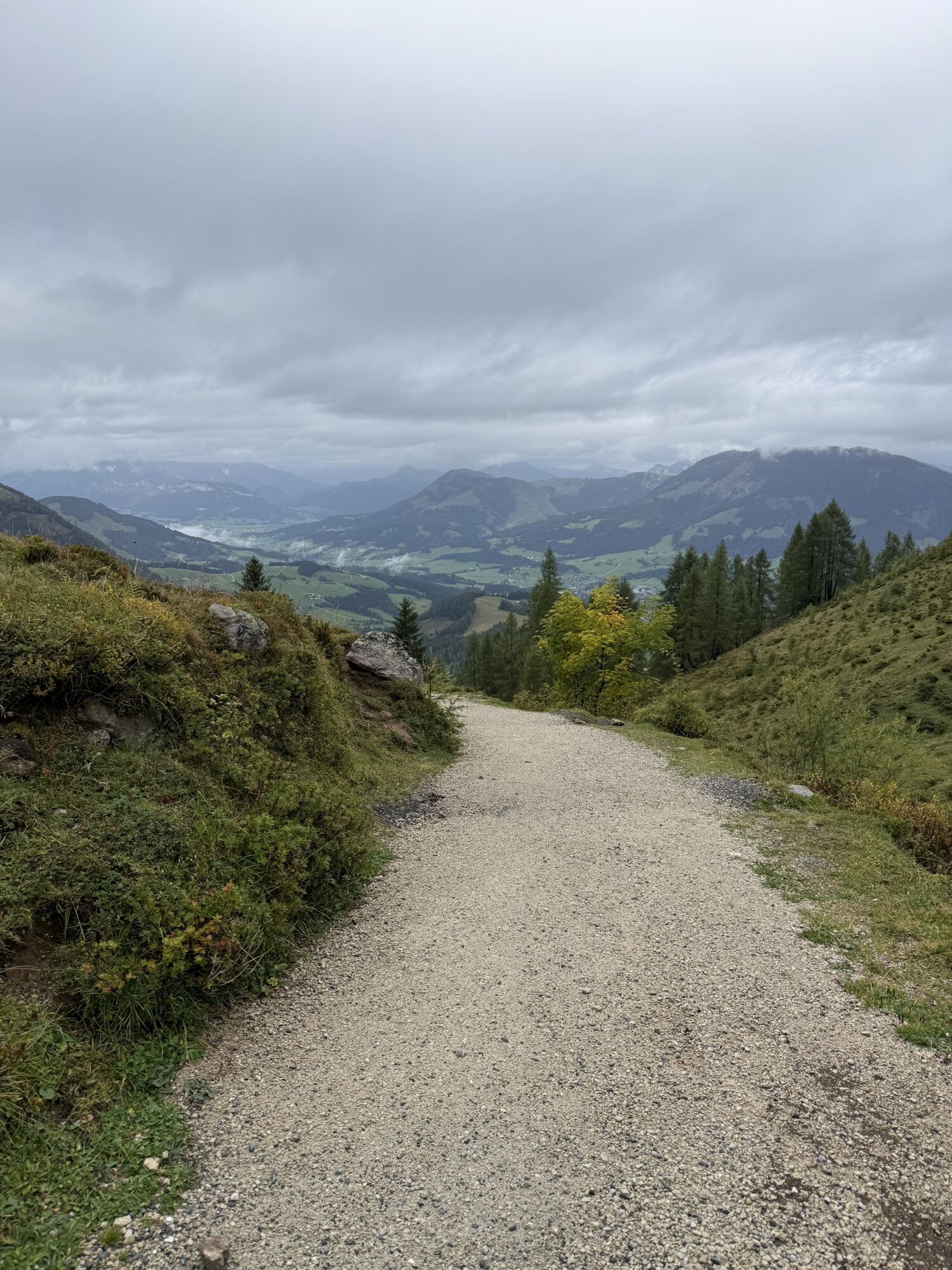
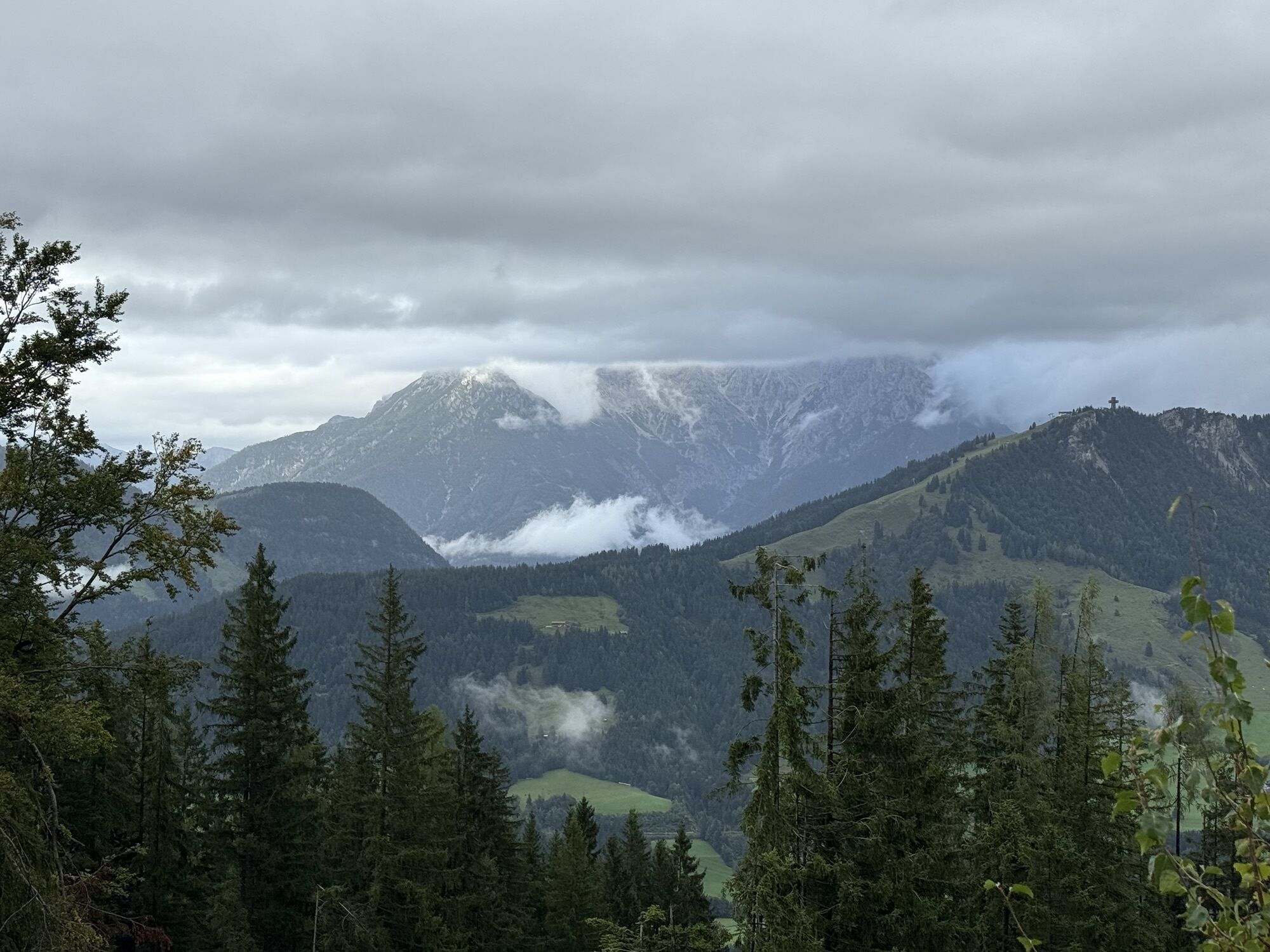
From the village center take the path AV-711 via Rettenwand and Lucht to the Streuböden Alm. First walk to the Wildalpgatterl and then right to the Wildalm and further on to the Wildseeloderhaus. Then...
From the village center take the path AV-711 via Rettenwand
and Lucht to the Streuböden Alm. First walk
to the Wildalpgatterl and then right to the Wildalm and
further on to the Wildseeloderhaus. Then via the Seenieder
(1.933 m) and the Niedermahdstein (1.899 m) in
the direction Bischofsjoch. Then keep left towards the
peak. By using the cable car the walking time will be
reduced to 4 hours.


Der Aufstieg kann durch die Fahrt mit der Bergbahn zum Lärchfilzkogel um ca. 2,5 Stunden abgekürzt werden.
Abstiegsvariante: Zum Bischofsjoch, über die Kranzlacke zur Gebrakapelle St. Daniel und durch den Pletzergraben retour nach Fieberbrunn.
Streuböden Alm, Wildalpgatterl, Wildseeloderhaus
Wanderkarte Mayr Nr. 61, Wanderkarte Alpenweltverlag Nr. A032, Wanderkarte Kompass Nr. 29
Sí
Von Westen/Süden kommend: Über Innsbruck - Ausfahrt Wörgl Ost - B178 nach St. Johann in Tirol - abbiegen auf die B164 nach Fieberbrunn/PillerseeTal.
Von Osten kommend: Über Salzburg A1 - Ausfahrt Salzburg West oder Ausfahrt Bad Reichenhall (A8) - B21 (D) zur B 178 (A) über Lofer nach Waidring/PillerseeTal und weiter auf der Pillerseestraße L2 nach Fieberbrunn.

Webcams del recorrido
-
Reckmoos
-
St. Jakob im Pillerseetal
-
Fieberbrunn - Buchensteinwand in Tirol
-
Fieberbrunn - Lärchfilzkogel
-
Lärchfilzkogel
-
Mittelstation Streuböden
-
Fieberbrunn - Bikepark, Streuböden Talstation (836m)
-
Fieberbrunn - Streuböden Bergstation
-
Pillersee - Jakobskreuz
-
Talstation Pillersee
-
Martenhof
-
Reckmoos
-
Hochalm Mittelstation
-
Hochalm Mittelstation
-
Mittelstation Streuböden

Rutas populares en los alrededores
-
4,3
Erpfendorf: Griesbachklamm
medioSenderismo 10 km -
4,4
Kitzbüheler Horn über Horn-Gipfel-Höhenweg
medioSendero temático 5,30 km -
4,8
Loferer Steinberge, zum Hinterhorn über die Schmid-Zabierow Hütte, 19.06.22
pesadoSenderismo 14,0 km -
4,8
Streif Wanderweg
medioSenderismo 5,73 km -
4,2
Panoramarundweg am Hahnenkamm
luzSenderismo 3,02 km -
5,0
Spielewanderweg de Leo
luzSendero temático 4,89 km -
4,6
St. Johann in Tirol: Wasserfall & 3 Seen am Kitzbüheler Horn
medioSenderismo 12,7 km -
4,1
Montaña de los sentidos
luzSenderismo 4,39 km -
4,5
Kitz Bhf- Kitzbühler Horn und zurück zum Alpenhaus
medioSenderismo 11,8 km -
4,6
Ruta panorámica con 3 cumbres y 2 lagos
medioSenderismo 7,21 km
Senderismo y rastreo


No se pierda las ofertas y la inspiración para sus próximas vacaciones
Su dirección de correo electrónico se ha añadido a la lista de correo.





