


Lasörling altitude trail Stage 5
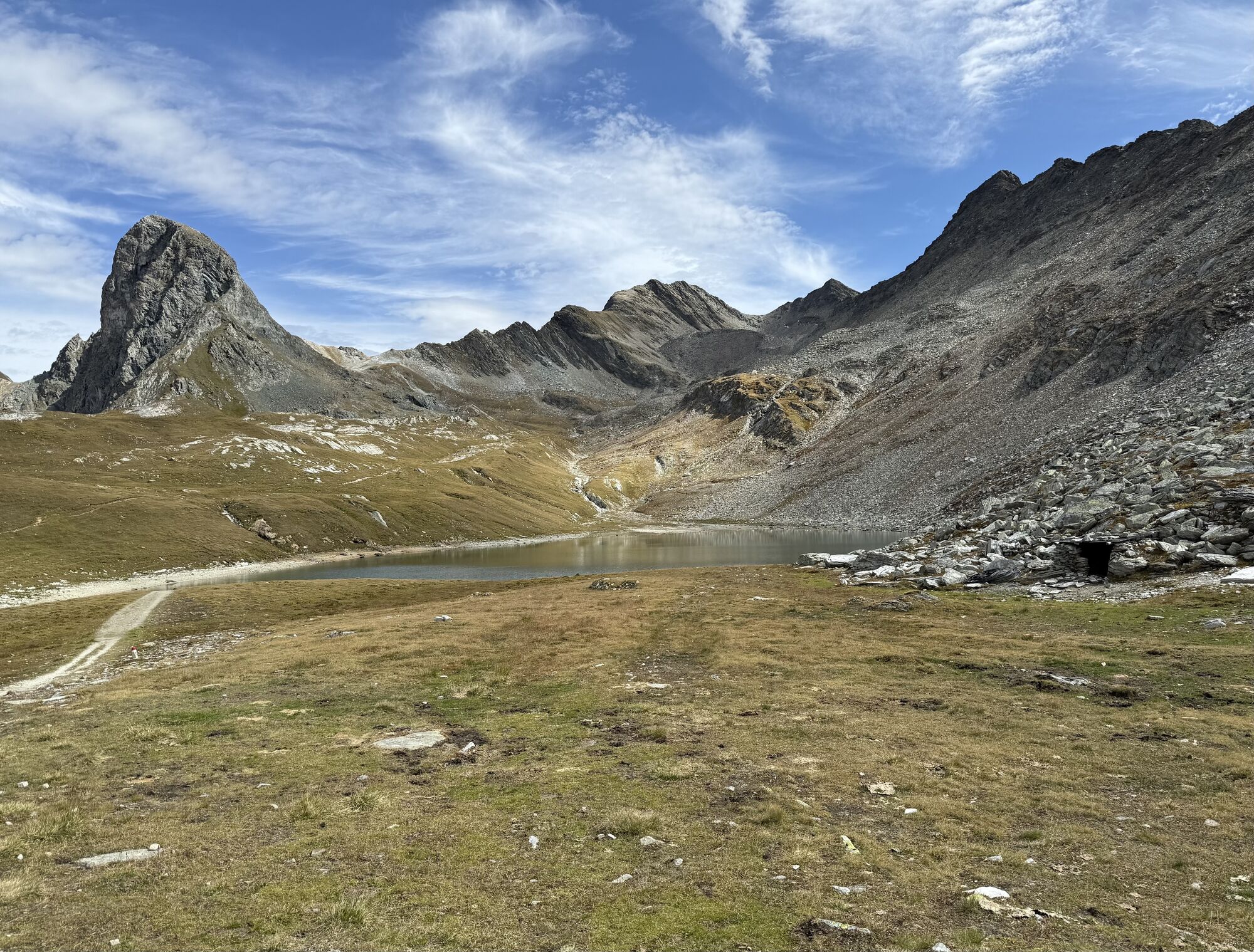
The trail leads from the Neue Reichenberger Hütte first over wide, lush hills to the Daberlenke. From there it goes past many little streams down through the Dabertal valley. Please note that this valley...
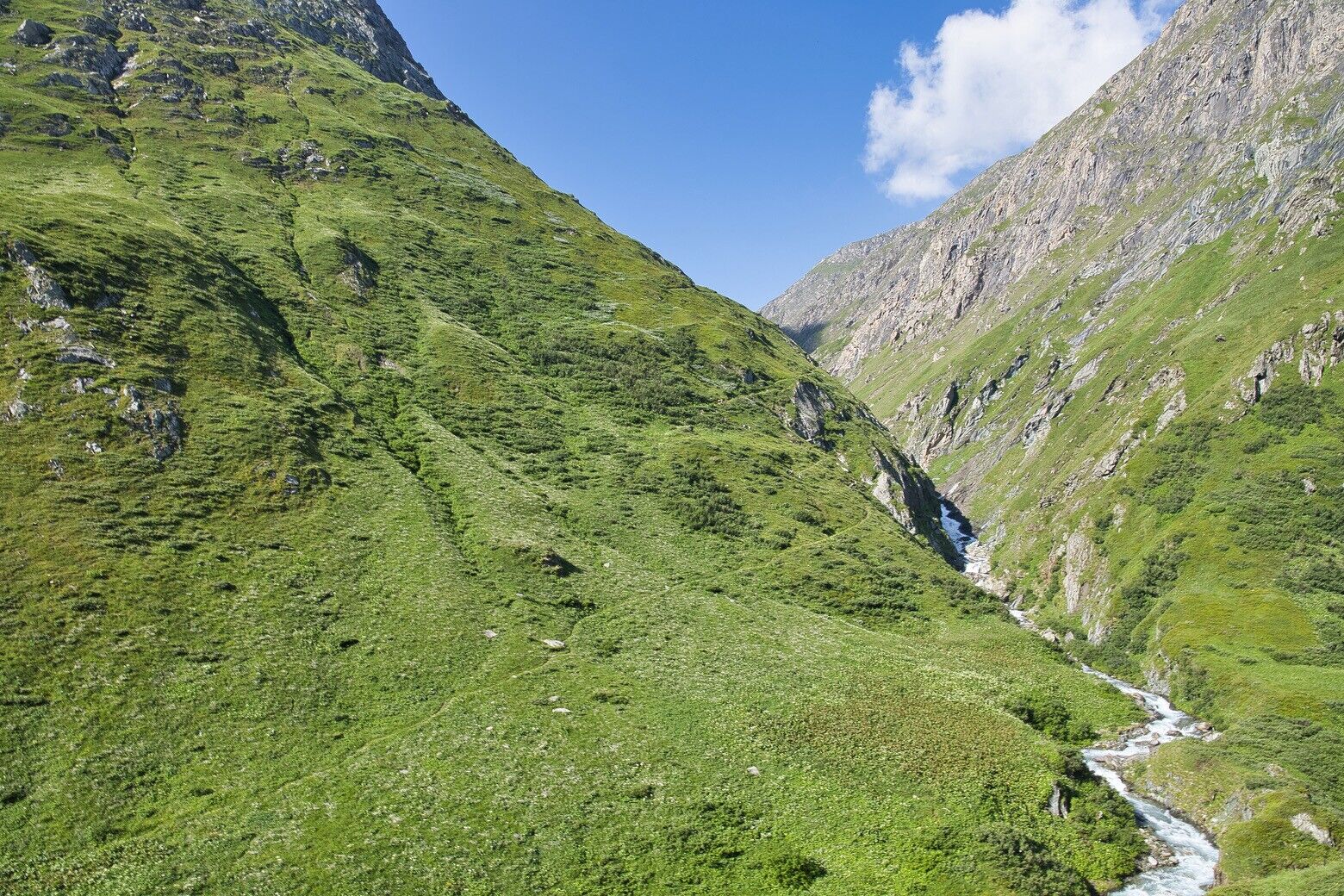
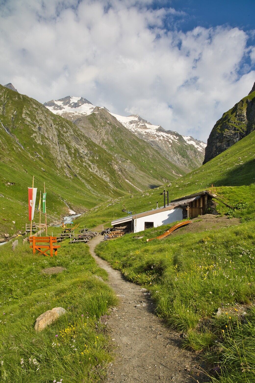
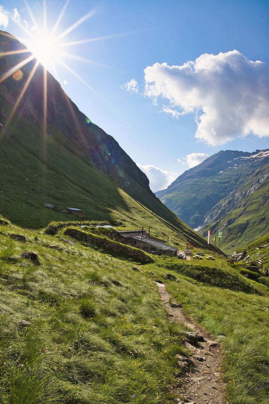
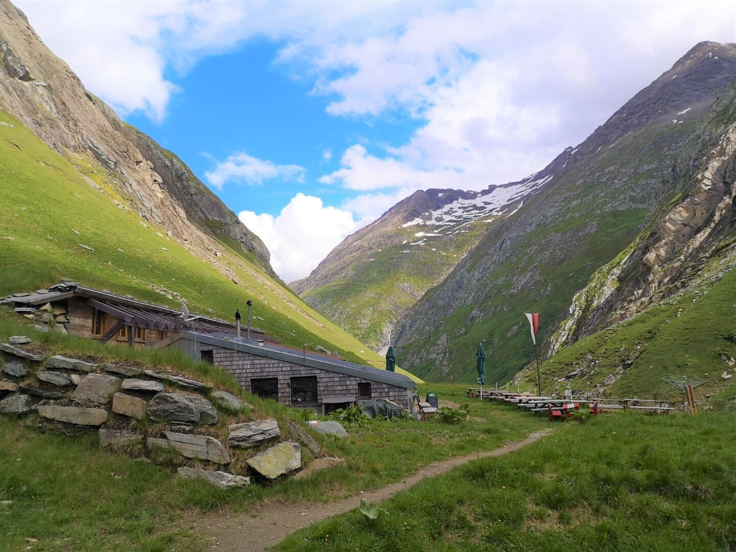
The trail leads from the Neue Reichenberger Hütte first over wide, lush hills to the Daberlenke. From there it goes past many little streams down through the Dabertal valley. Please note that this valley is often not yet accessible in early summer, as there is snow here for a long time and the bridges have to be raised first! After about 3 hours of walking, you cross the Umbalbach stream and come to trail no. 911. Here you turn left and immediately catch sight of the mighty Rötspitze (3,494m). The last 30 minutes of walking time lead you along a narrow, quite sloping path to the Clara Hütte.
Rutas populares en los alrededores
-
4,8
Antholzer See - Steinzger Alm
medioSenderismo 7,48 km -
4,7
NaturKraftWeg Umbalfälle
luzSendero temático 5,99 km -
4,8
Stoden - Clarahütte
medioSenderismo 7,12 km -
4,9
Oberhausalm - Jagdhaushütte
luzSenderismo 14,0 km -
4,9
Circular hike suspension bridge Isel Canyon via "Hohe Bank"
medioSenderismo 8,11 km -
4,7
Wiesbauerspitze 2.767 m
medioSenderismo 9,66 km -
5,0
Rote Wand
medioExcursión de alta montaña 12,0 km -
4,9
Rund um den Antholzer See
luzSenderismo 4,27 km -
4,2
Seespitze
medioSenderismo 13,7 km -
5,0
Muhs-Panoramaweg
medioSenderismo 14,0 km

Senderismo y rastreo


No se pierda las ofertas y la inspiración para sus próximas vacaciones
Su dirección de correo electrónico se ha añadido a la lista de correo.