






Wanderung zur Arventalalm 2.189m

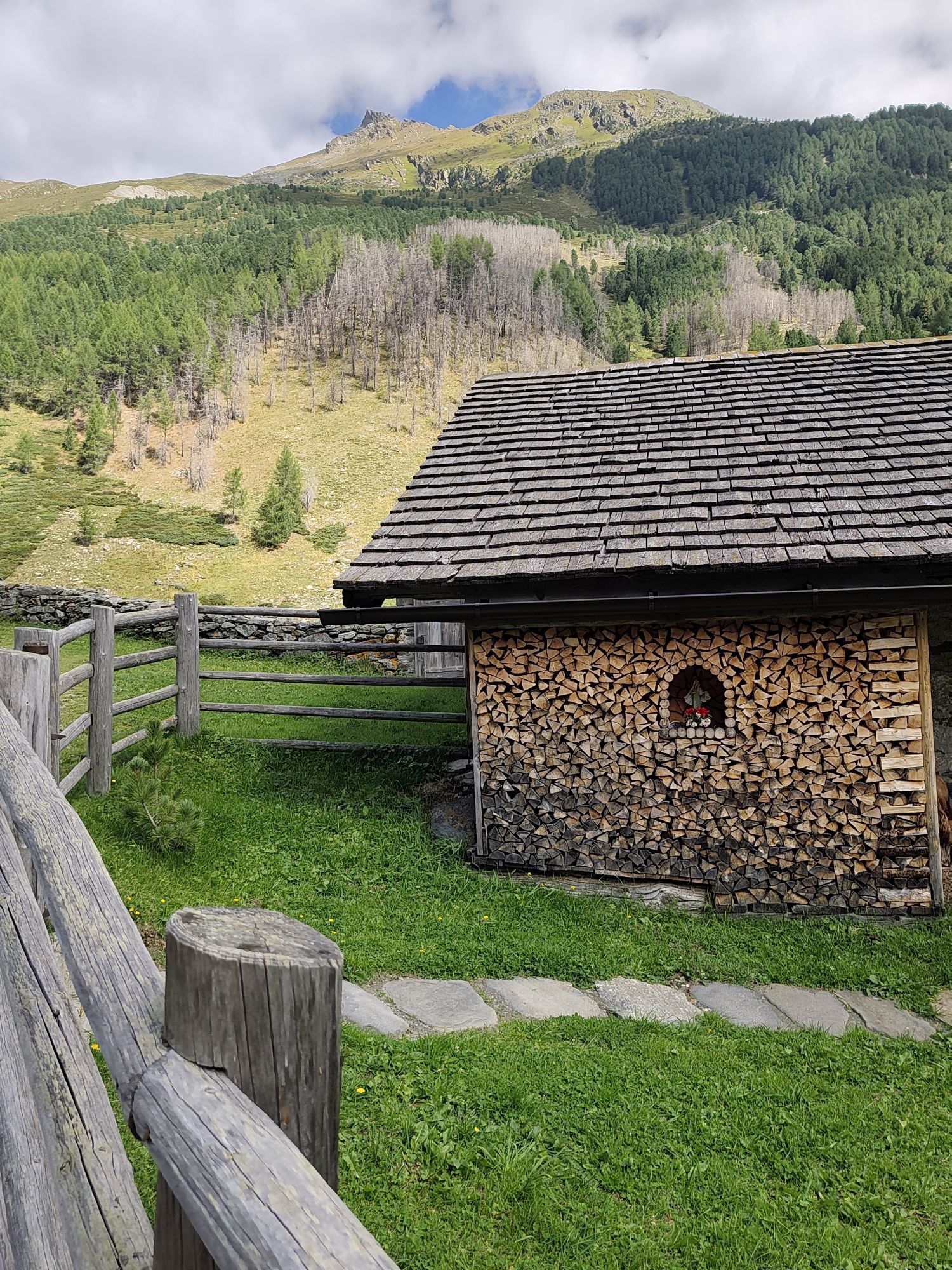
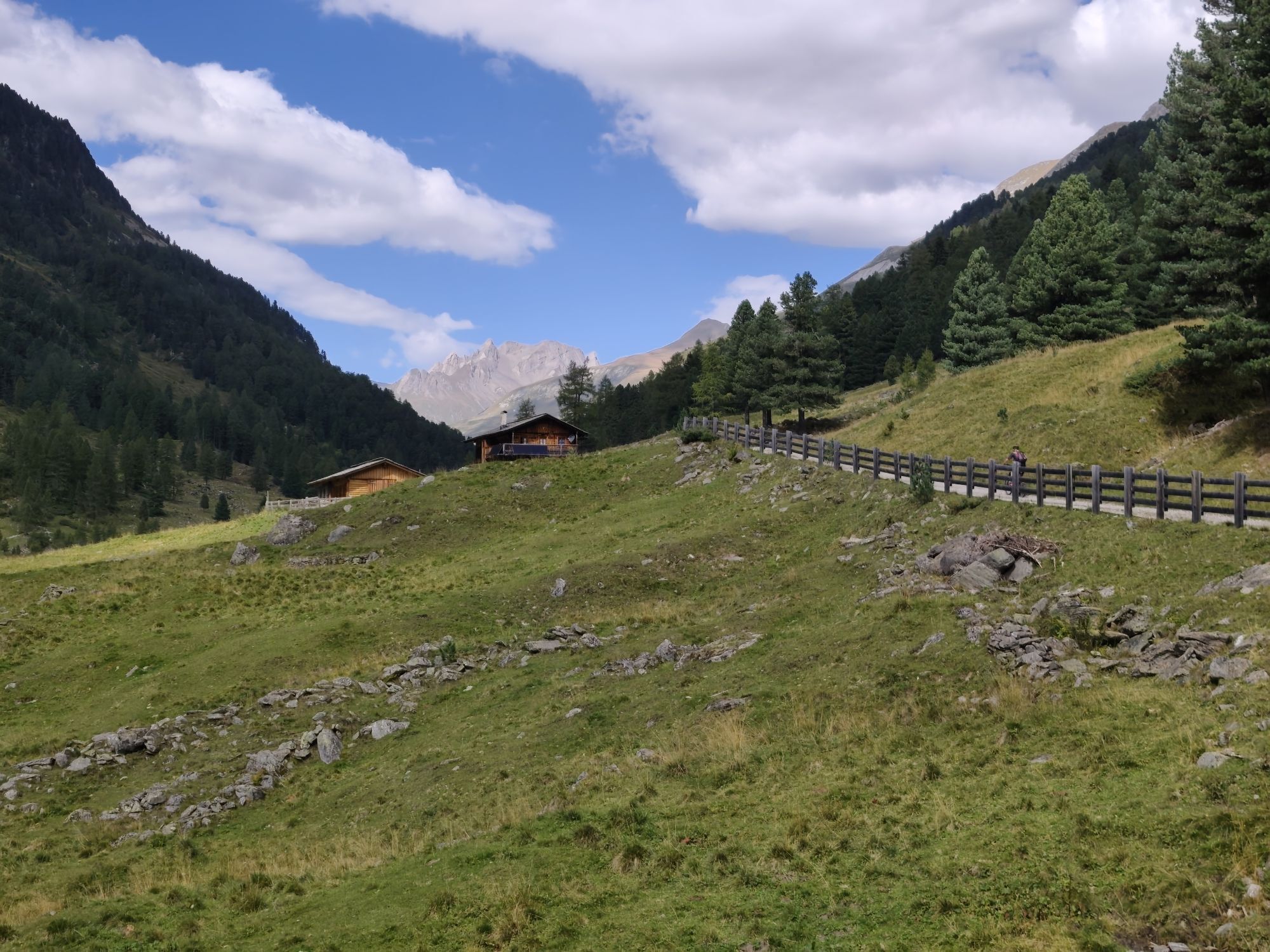
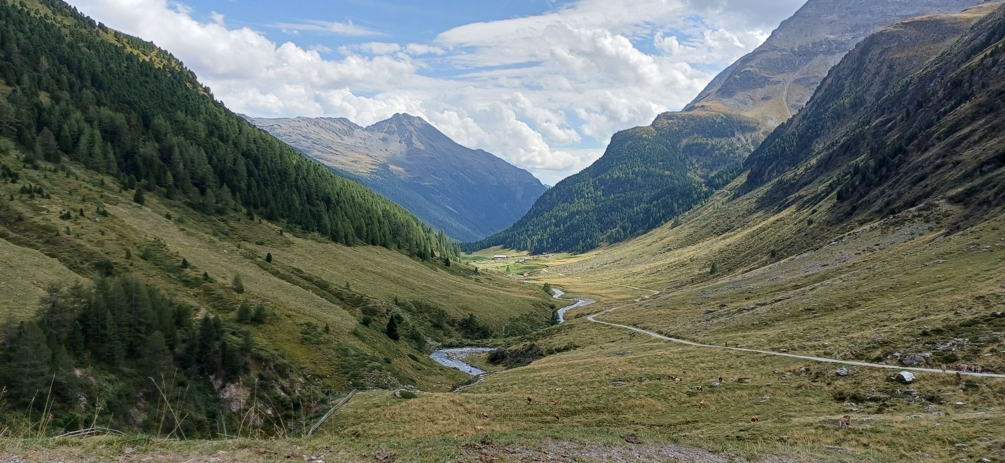
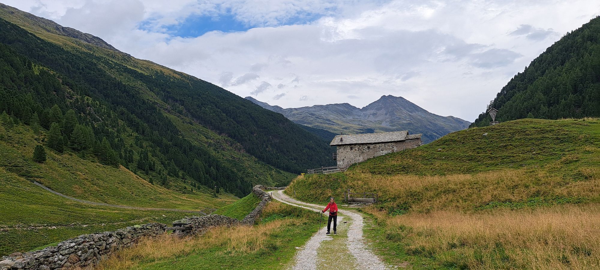
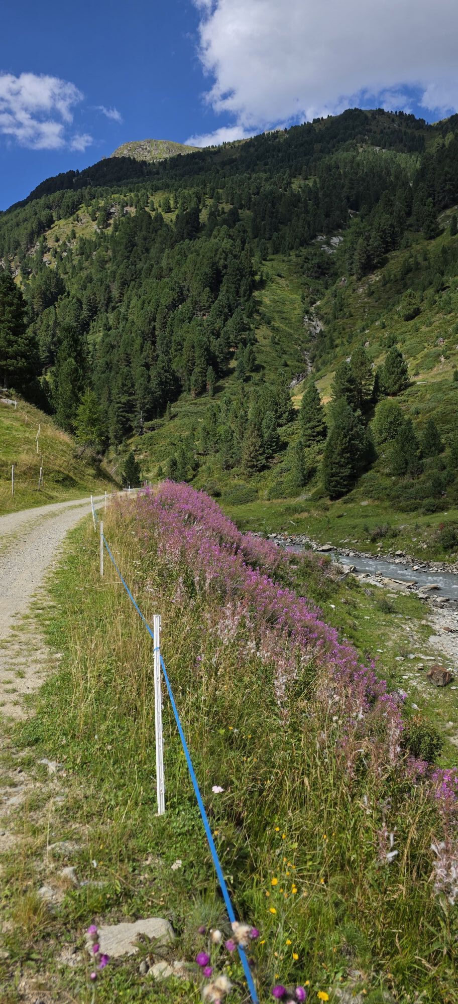
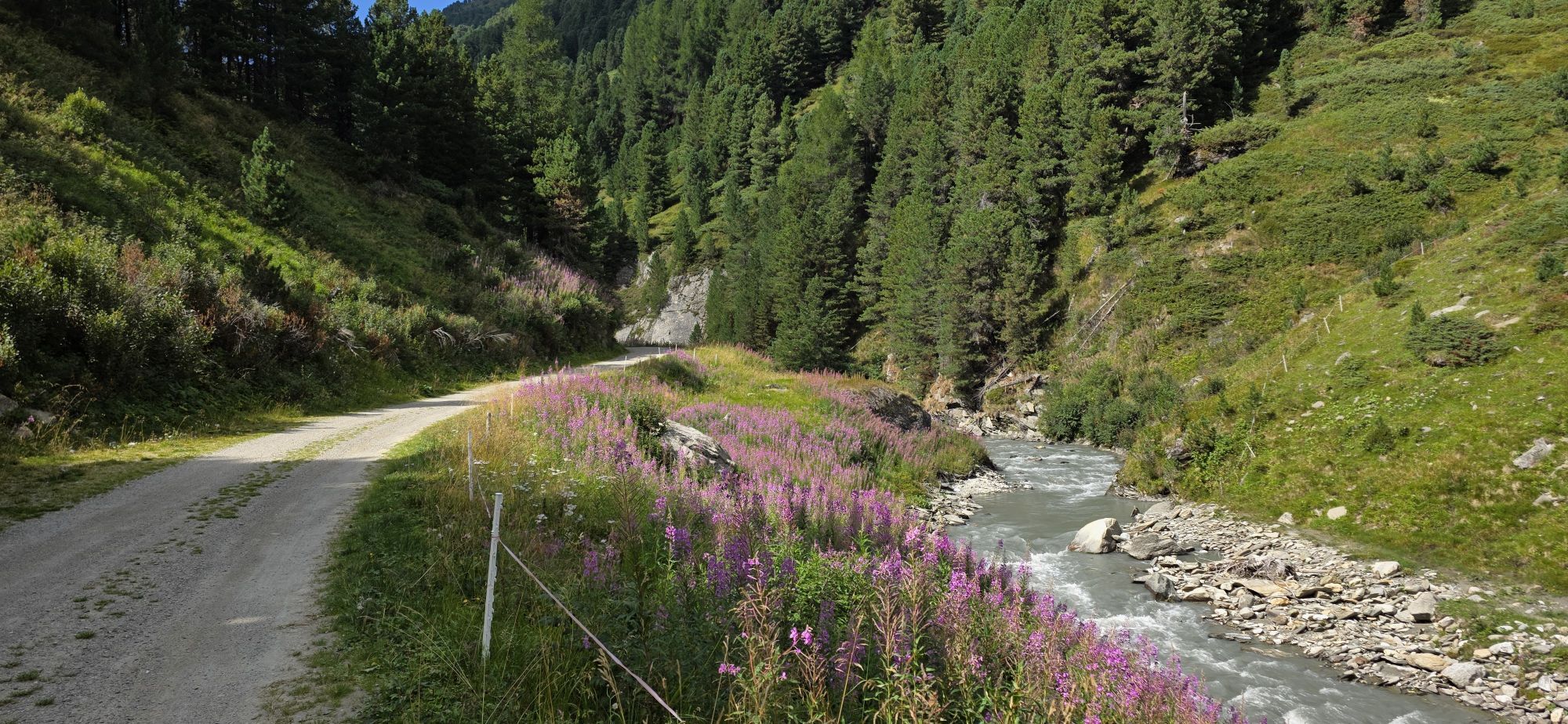
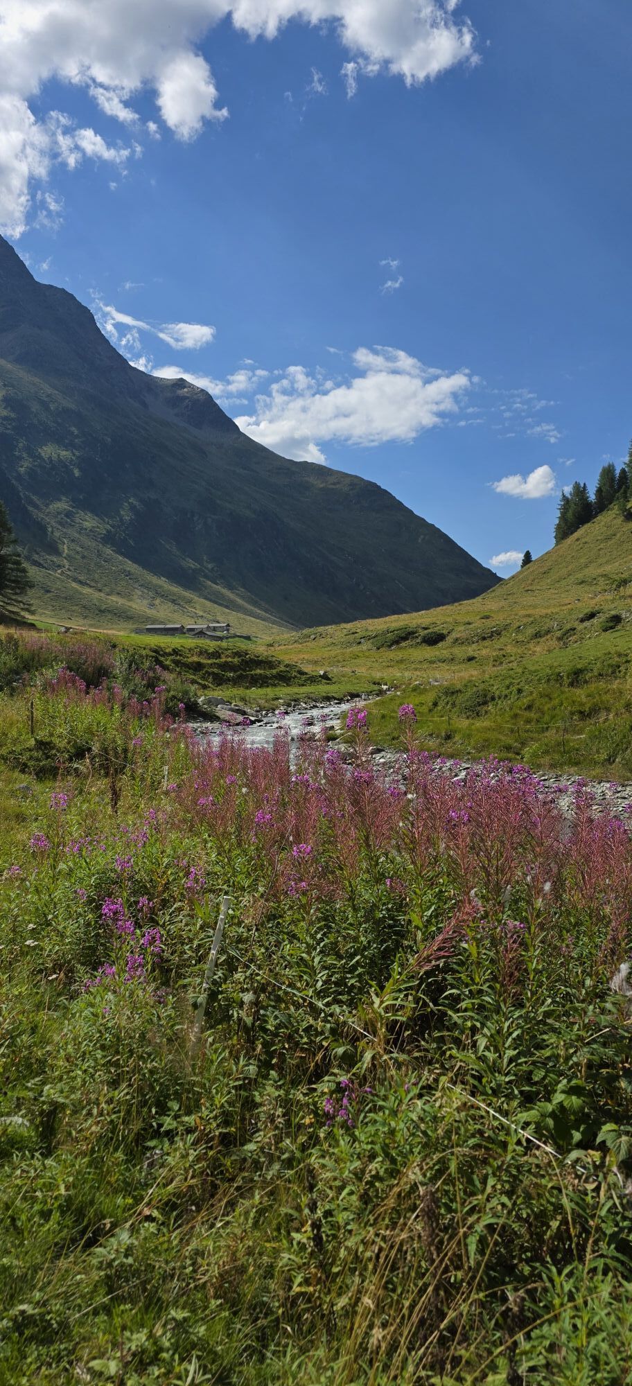
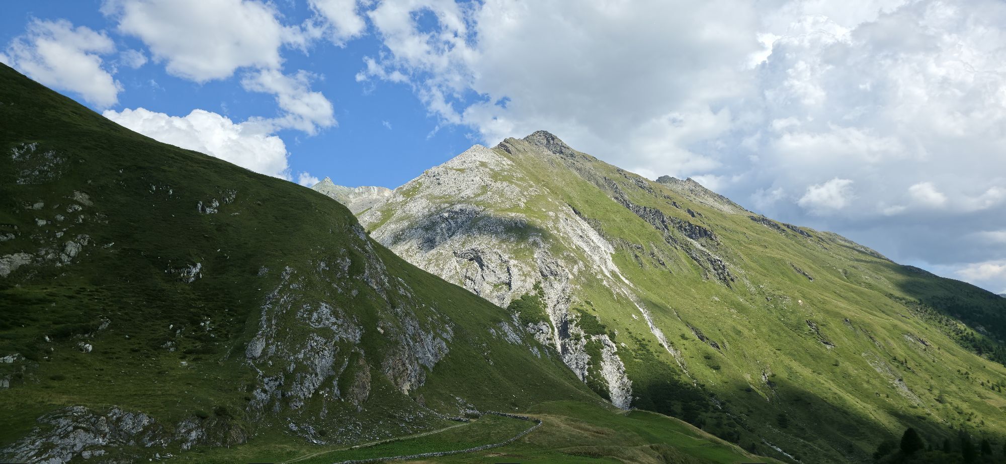
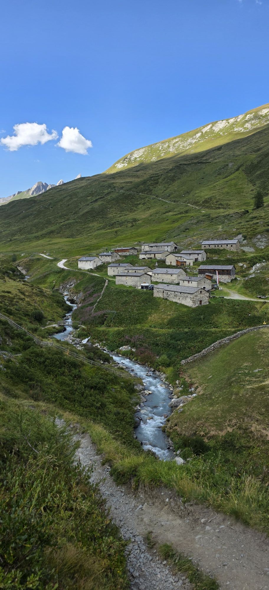
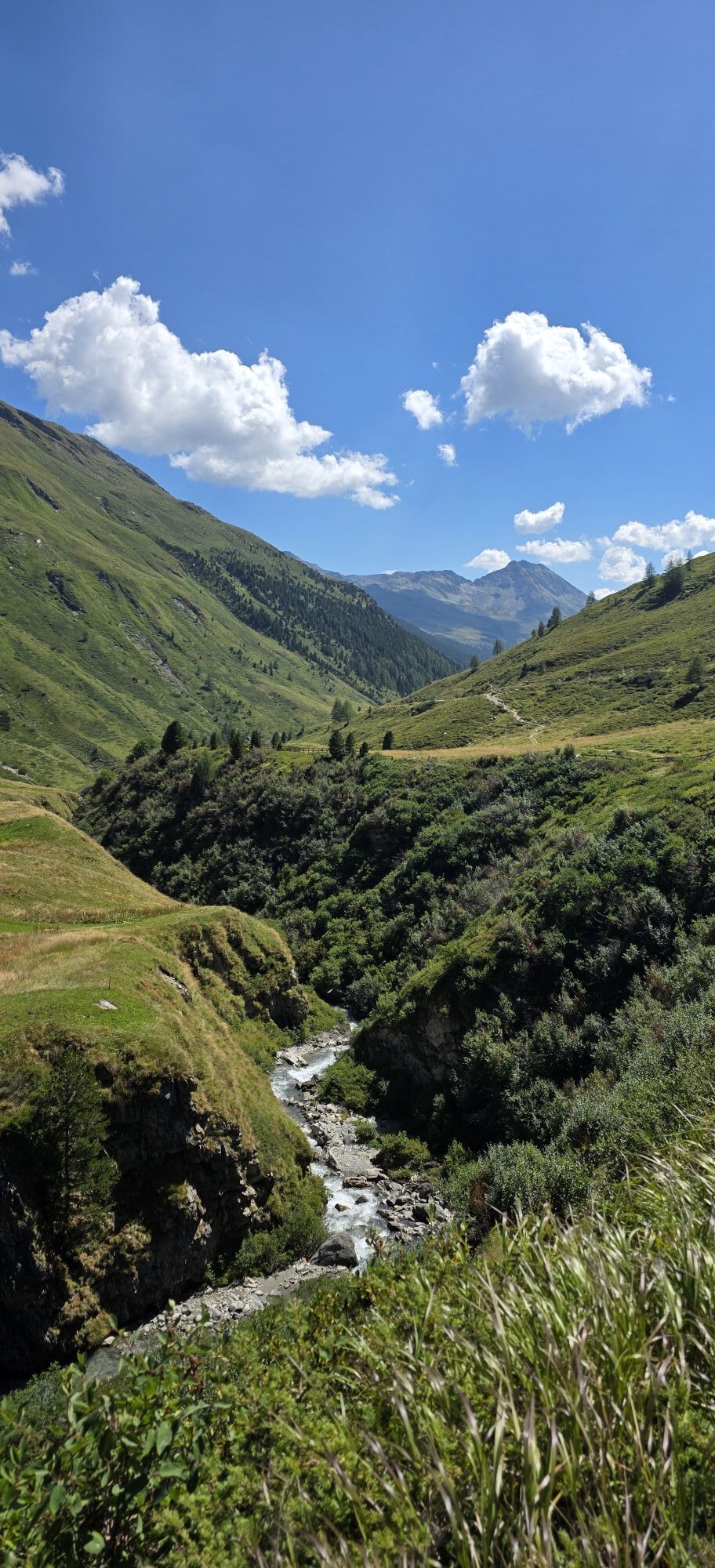
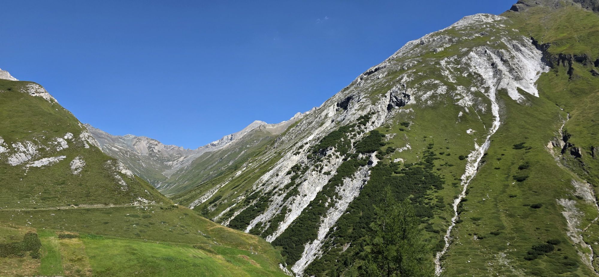
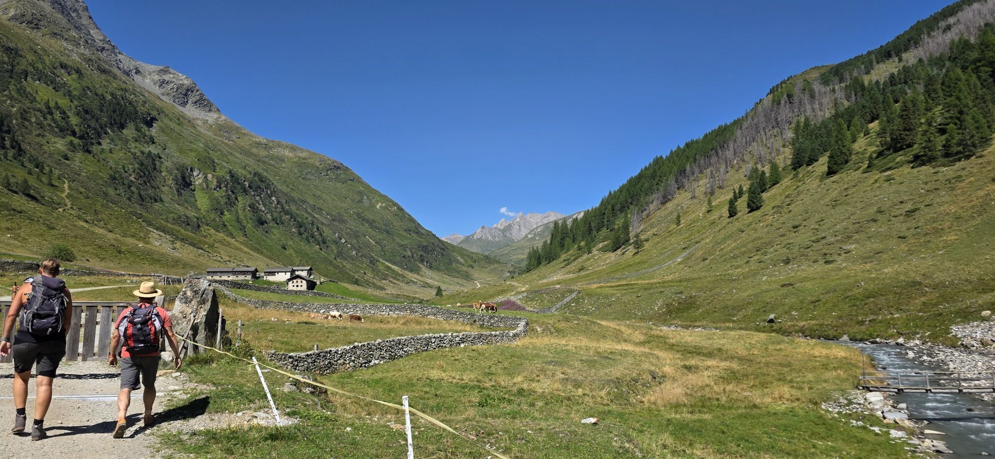
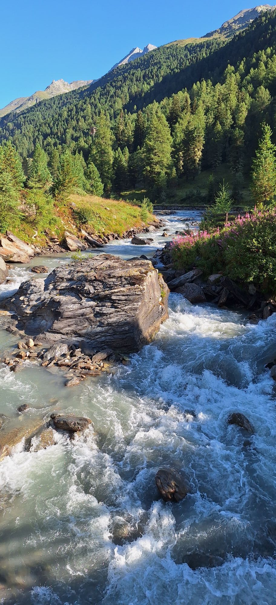
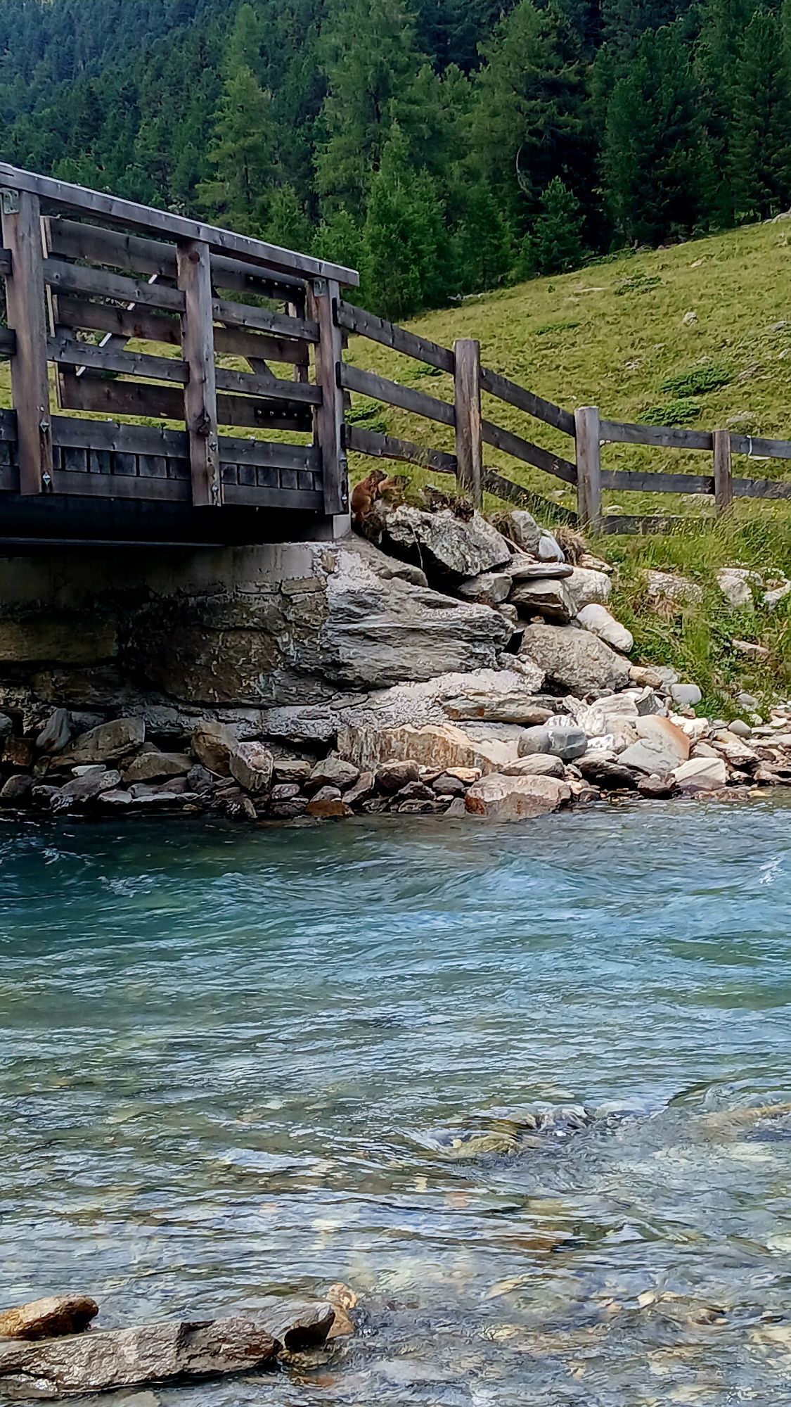
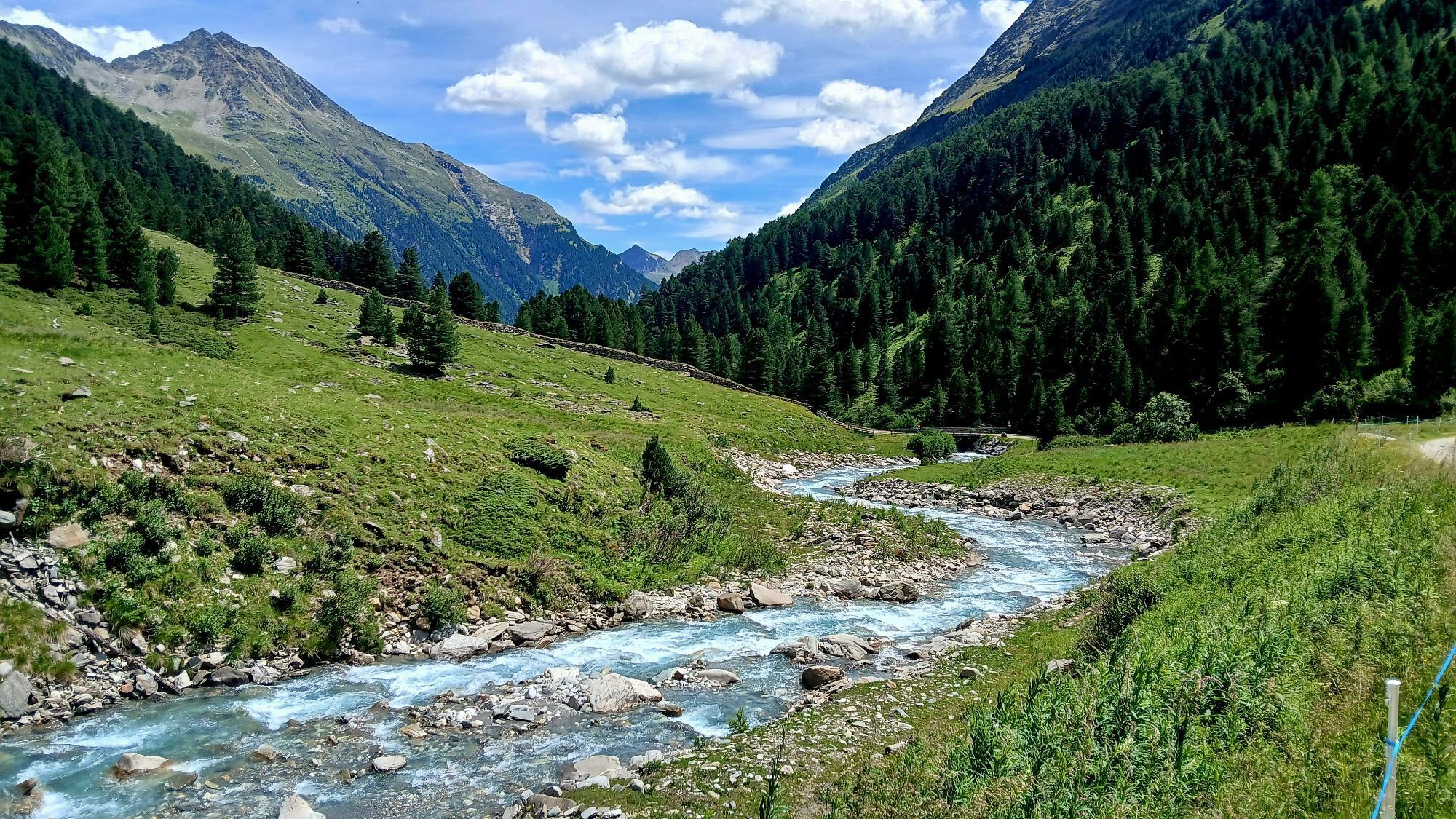
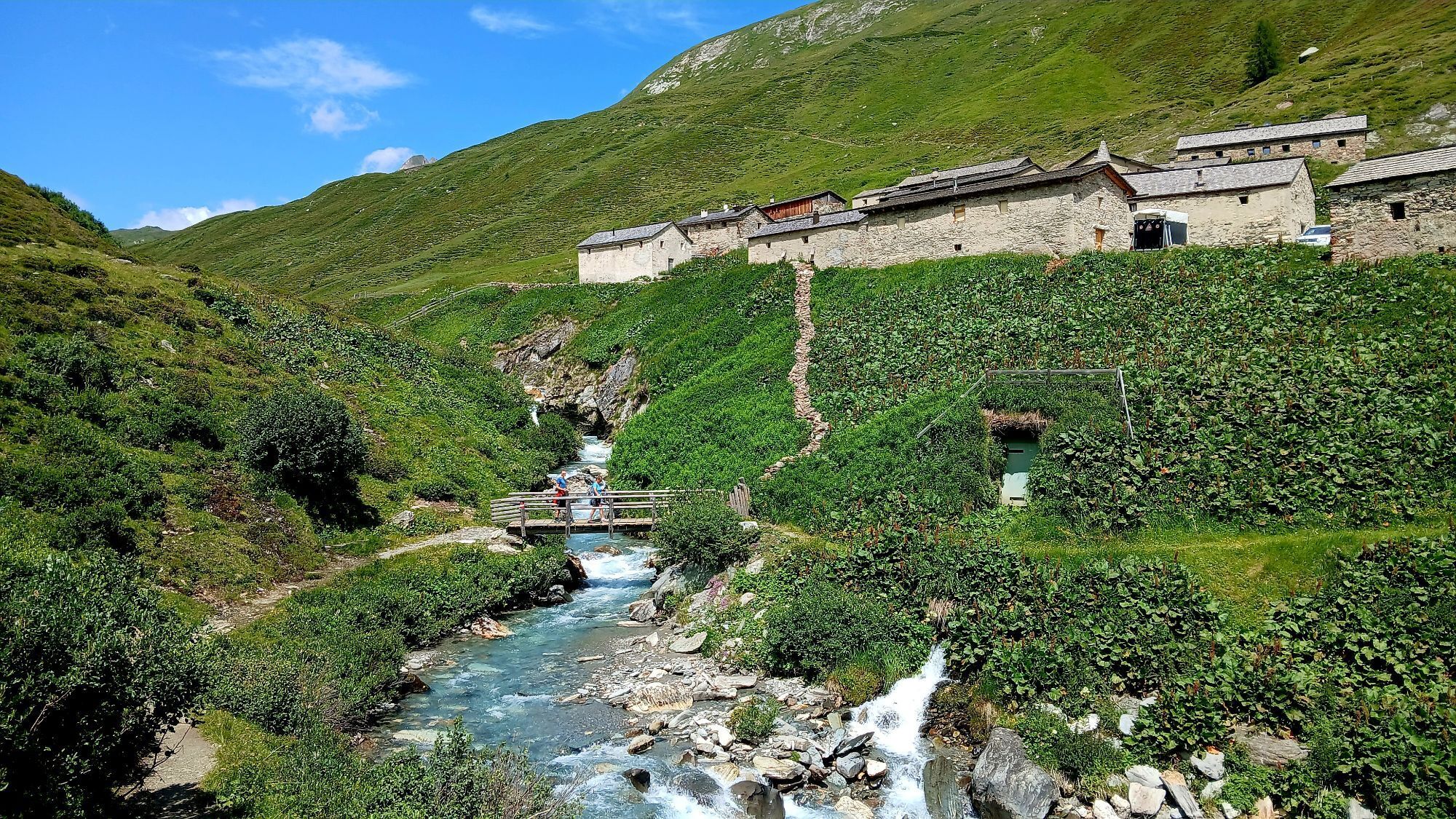
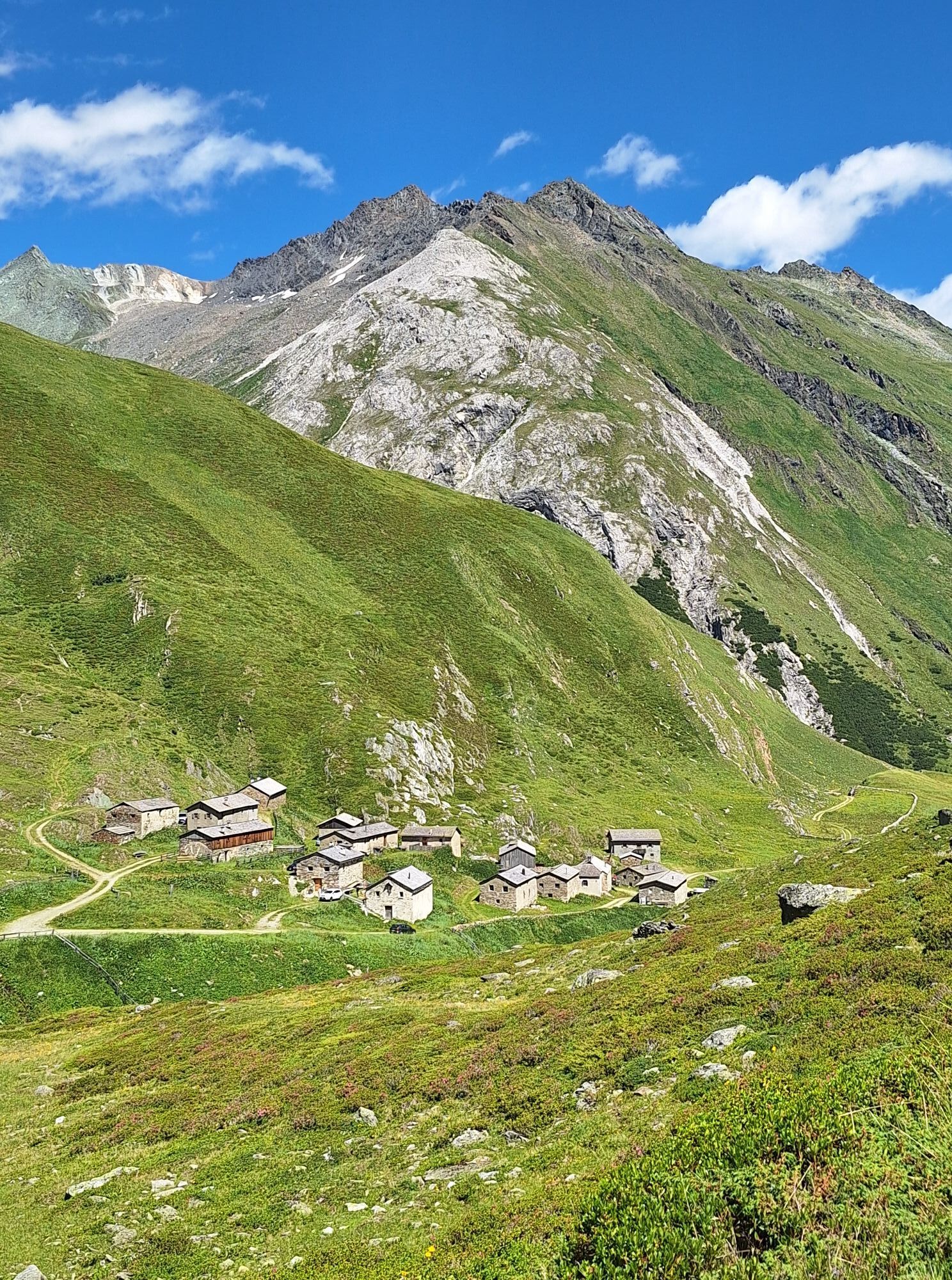
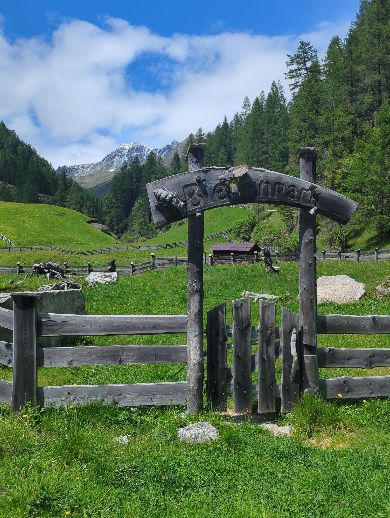
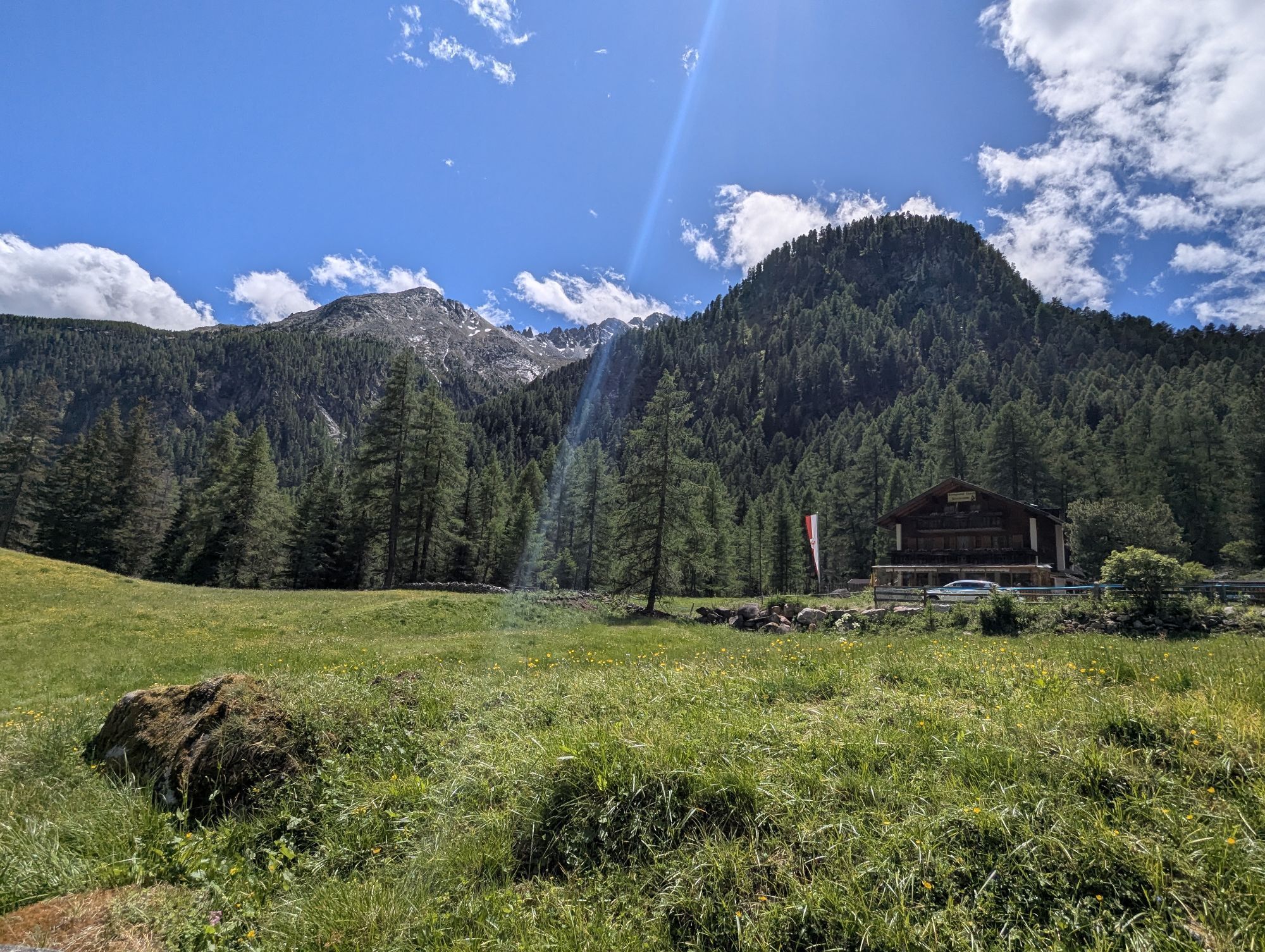
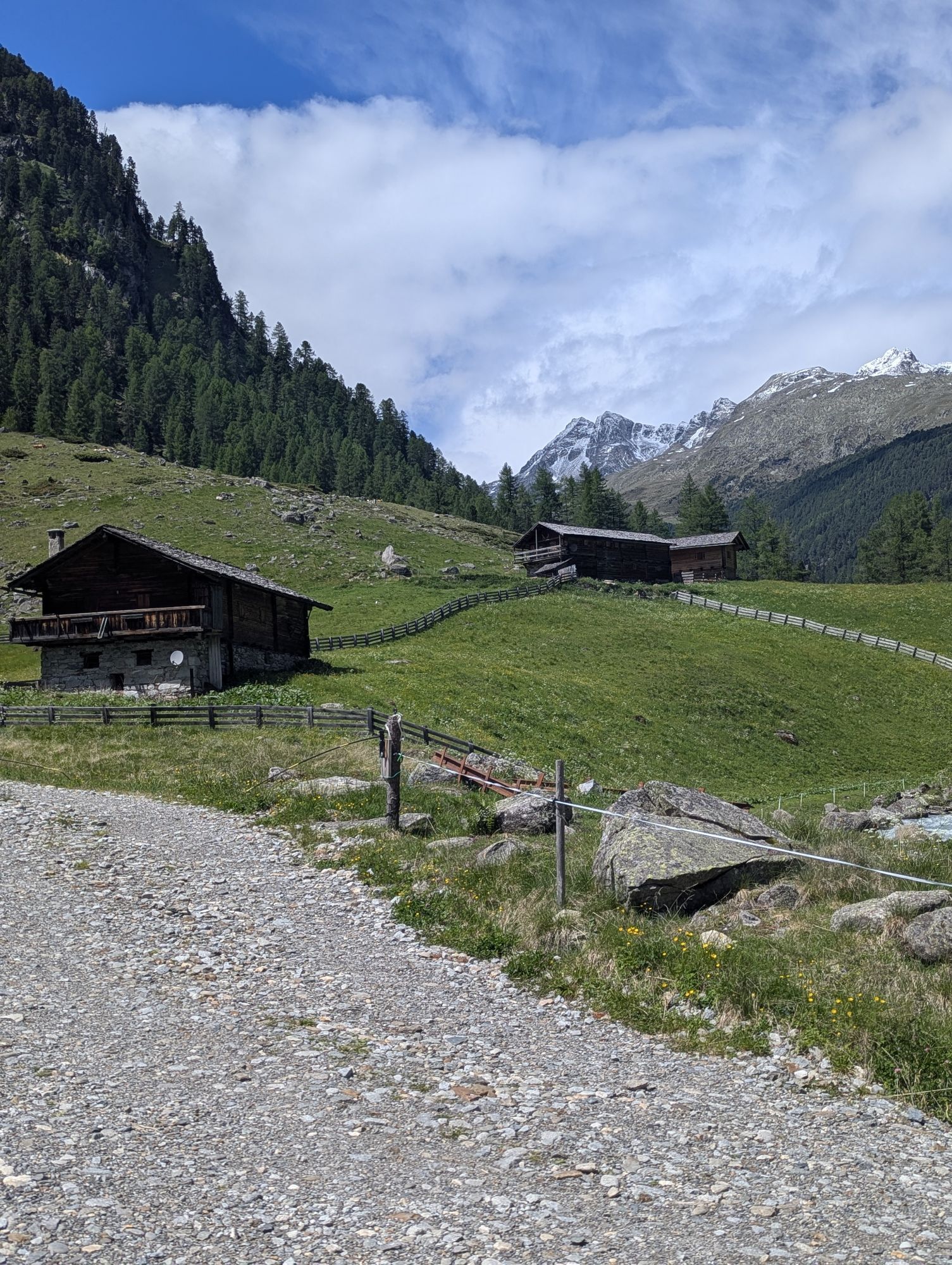
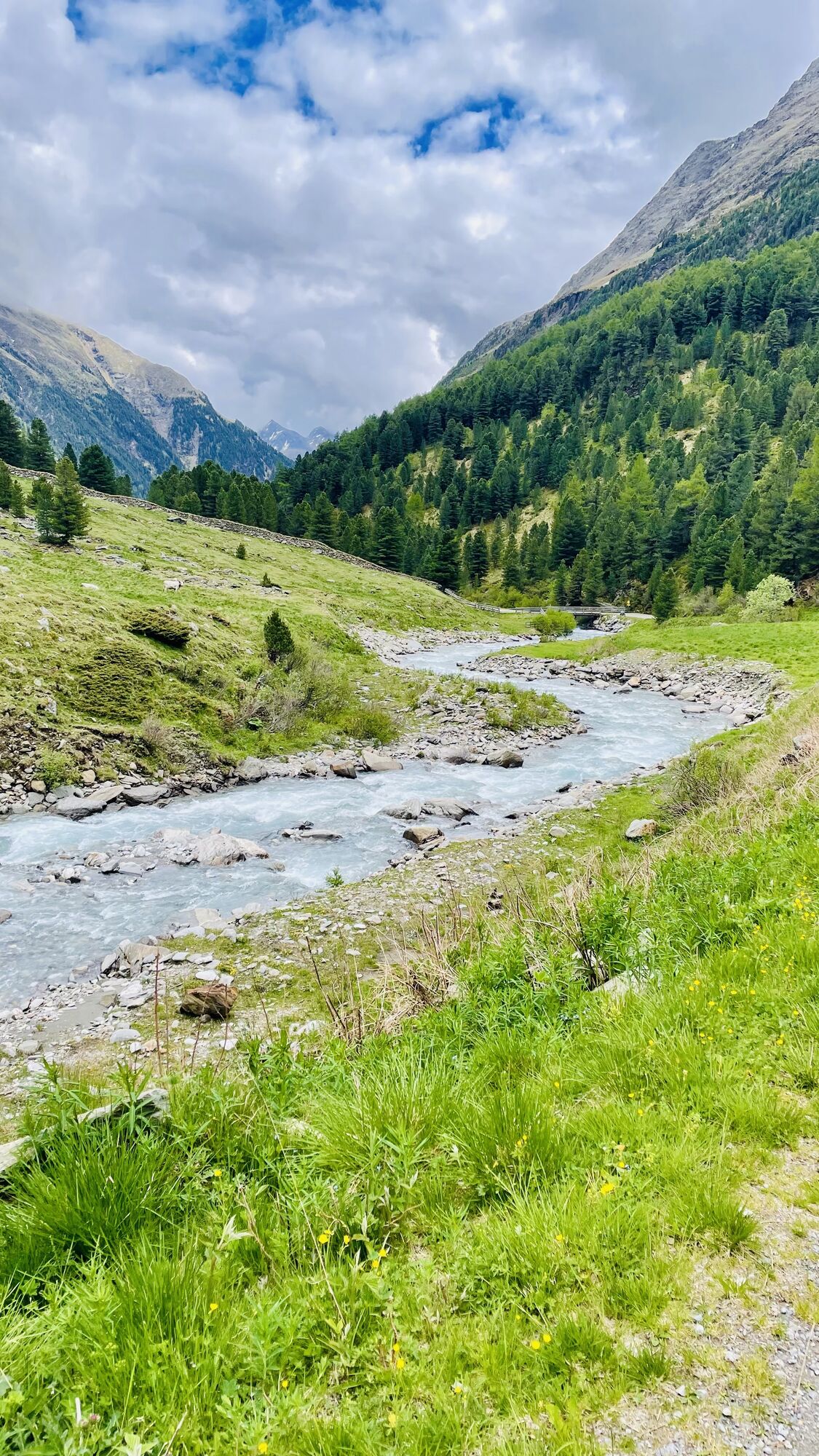
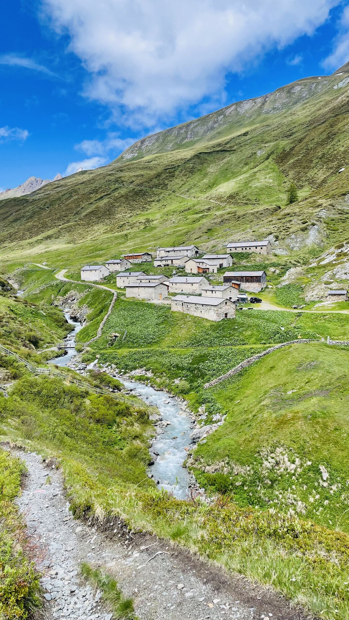
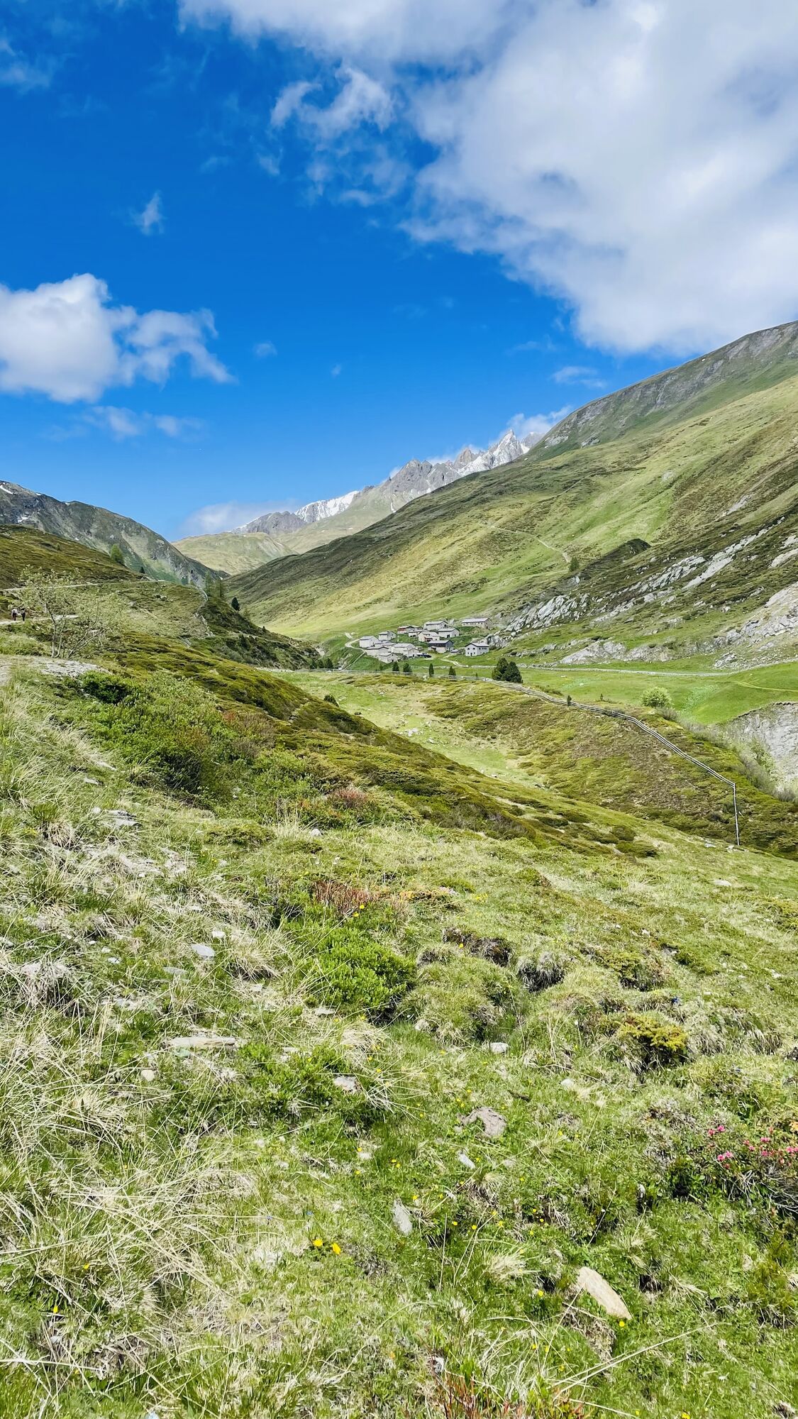
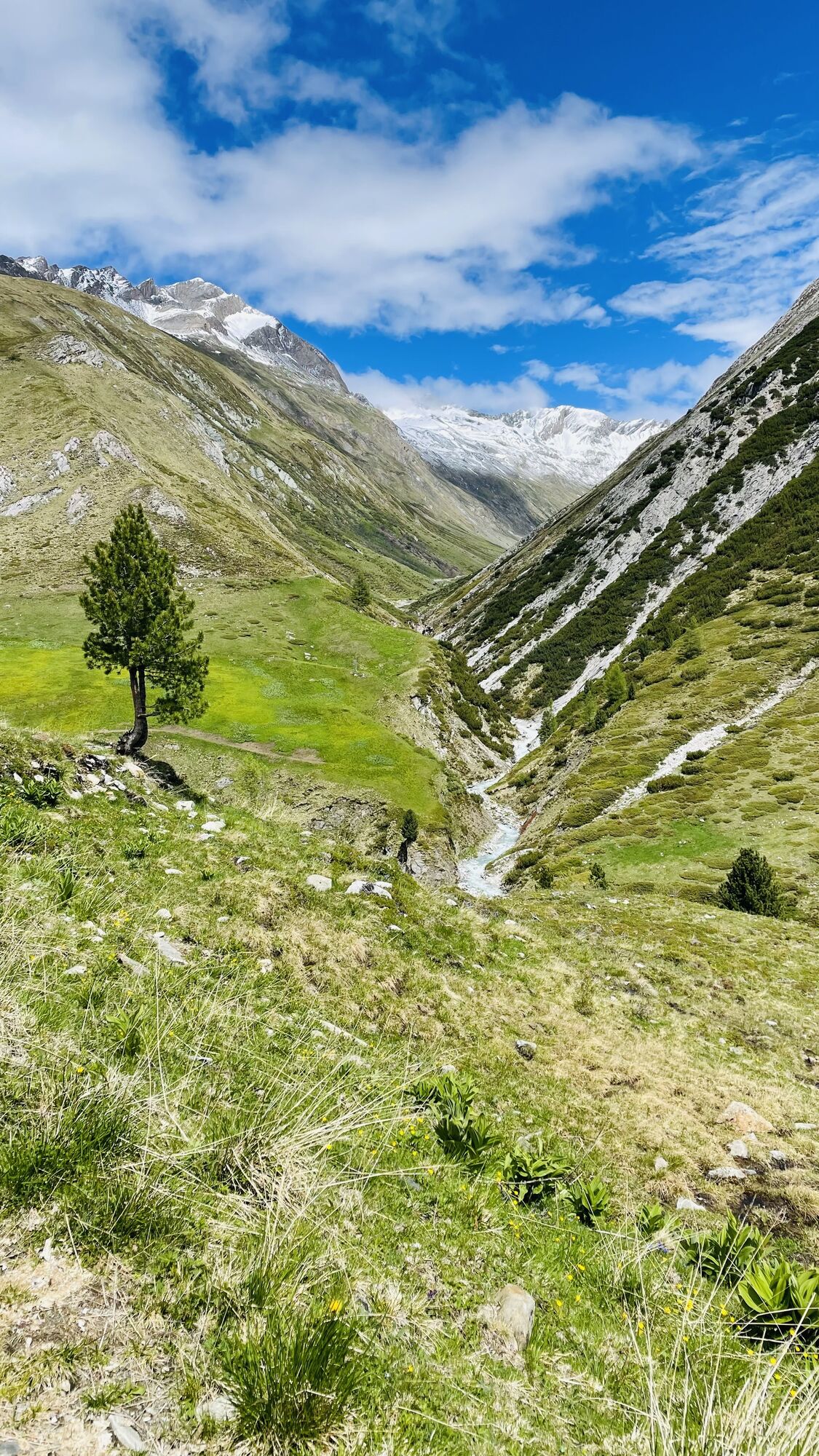
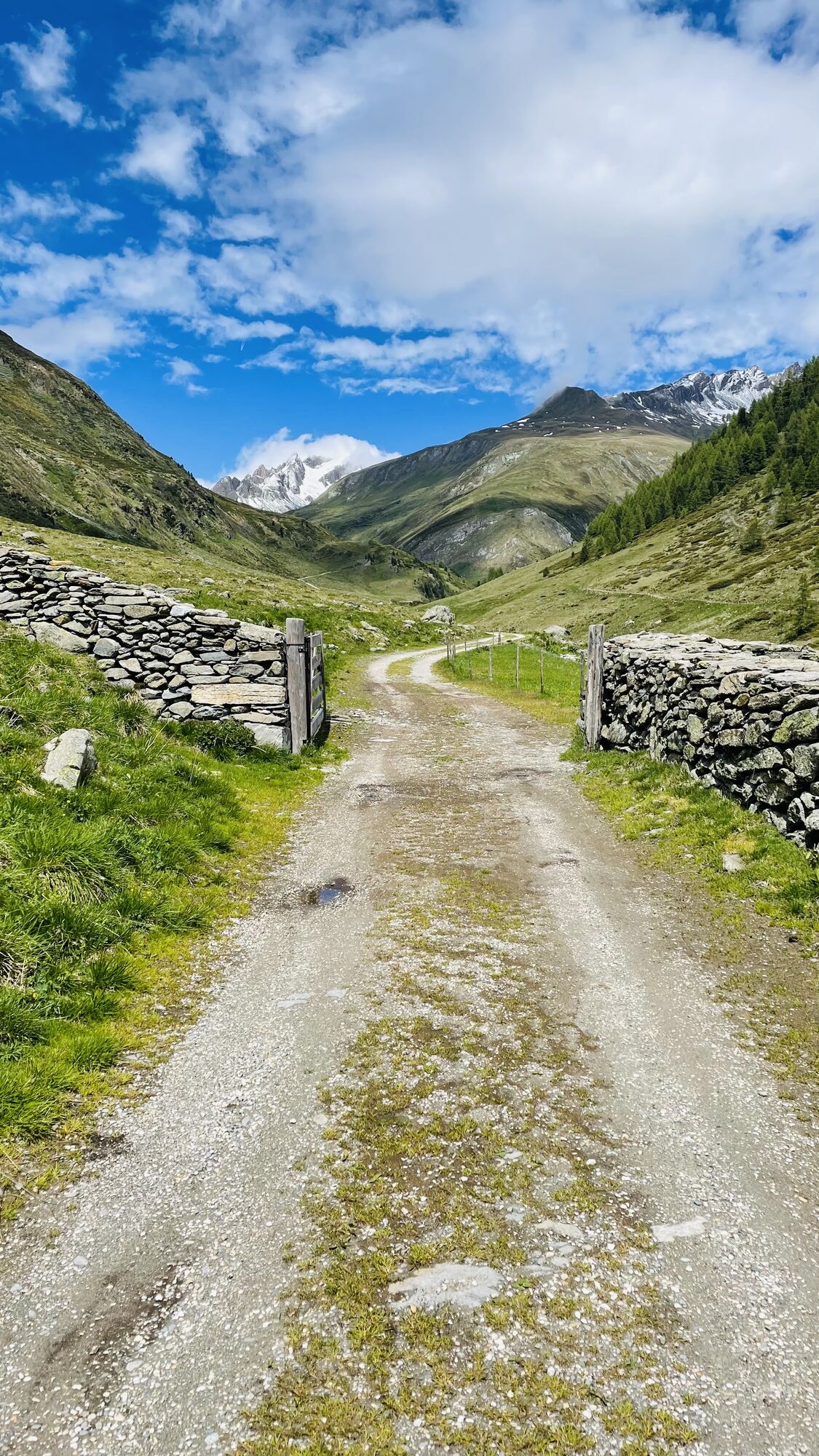
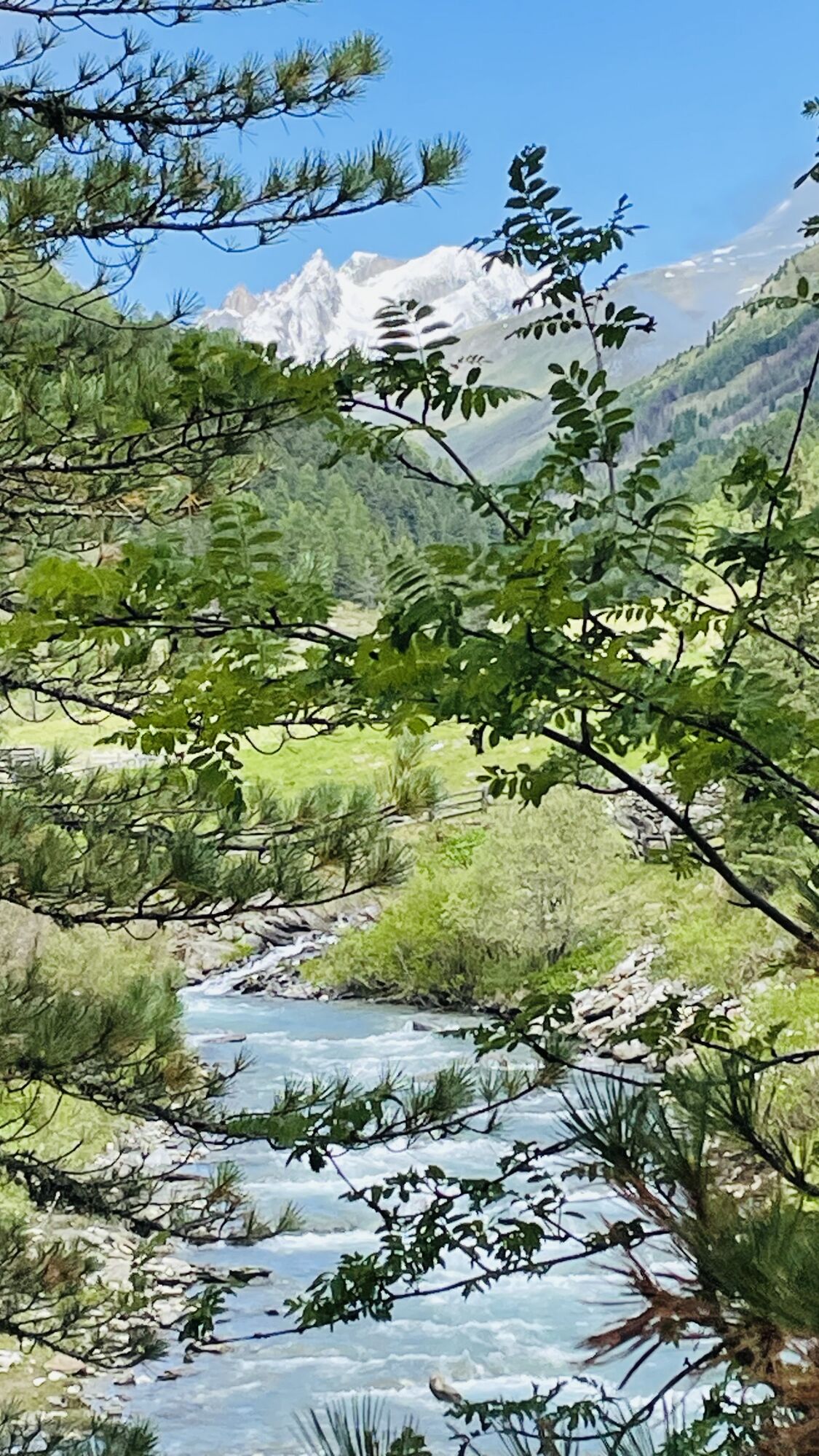
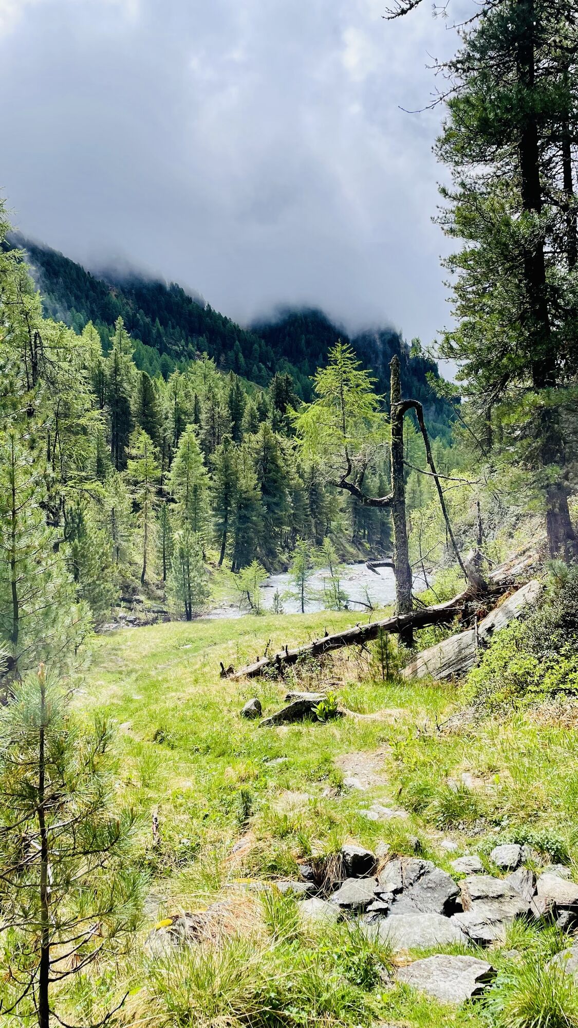
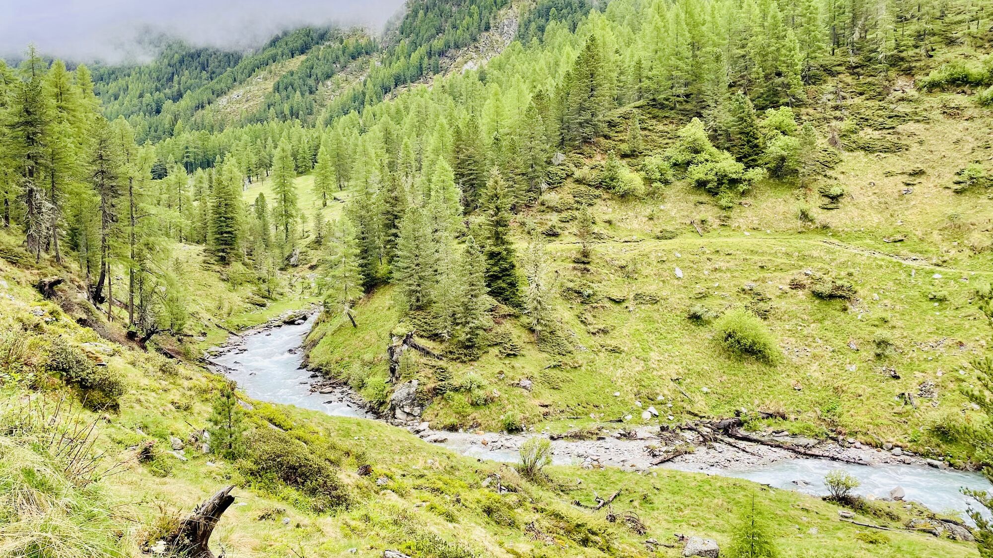
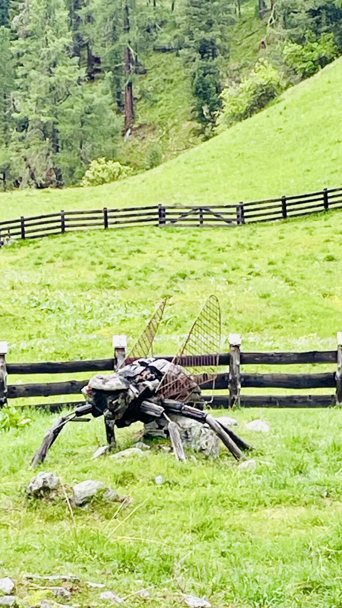
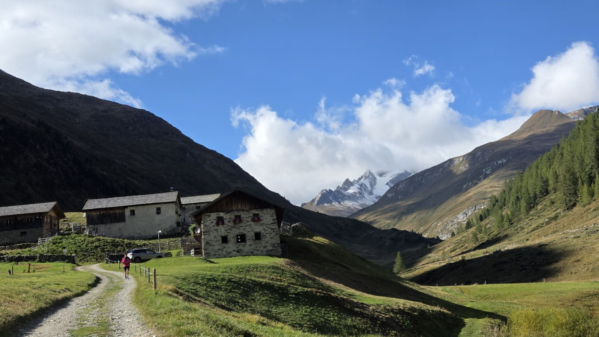
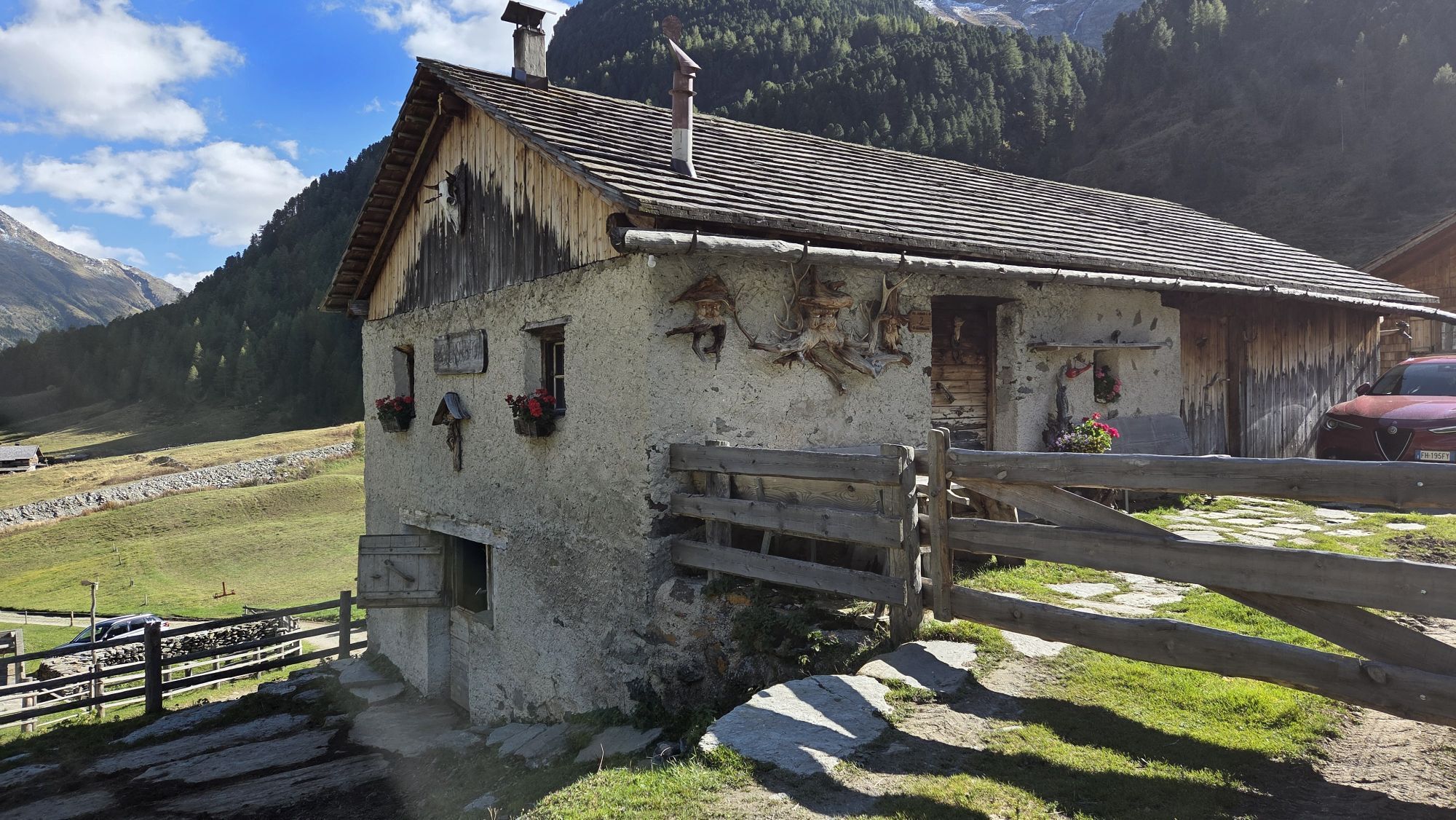
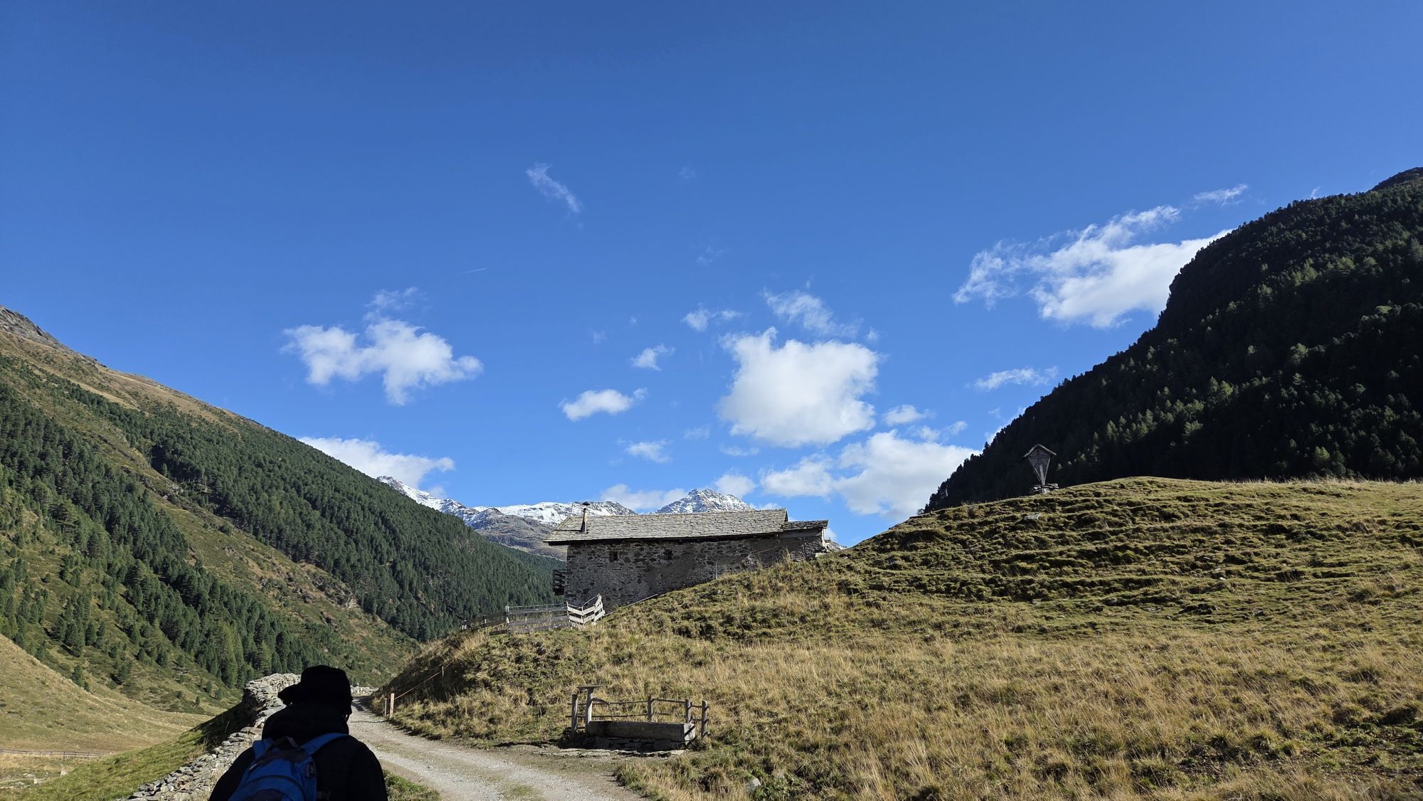
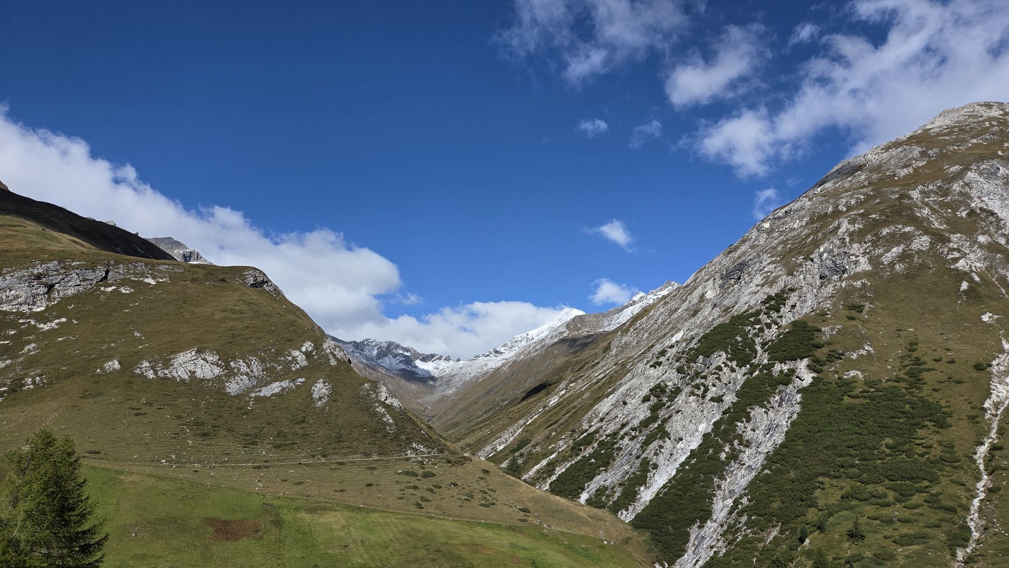
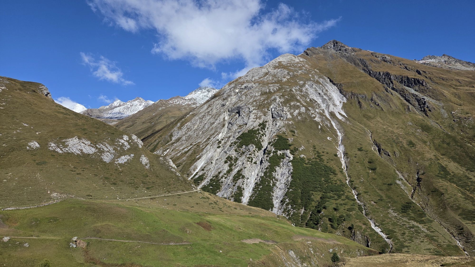
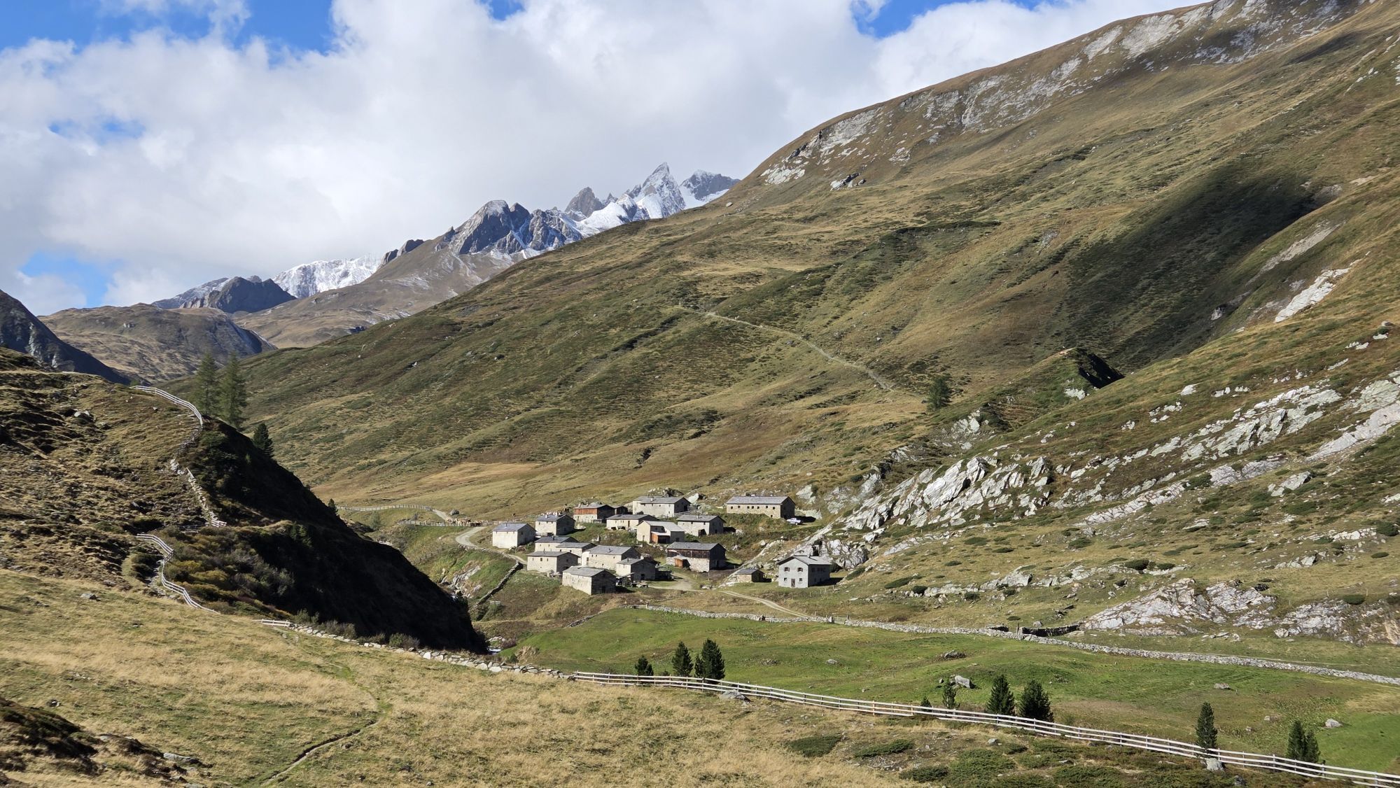
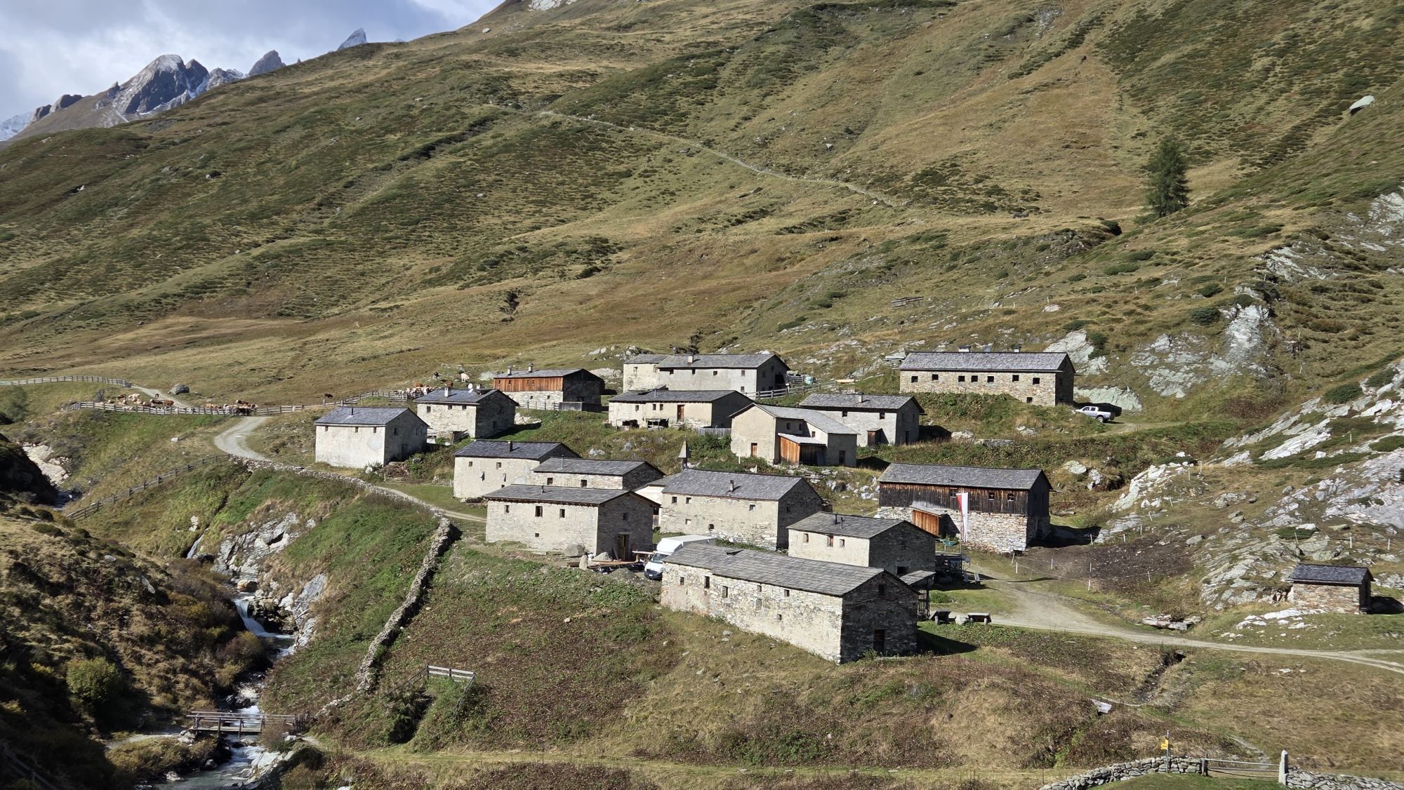
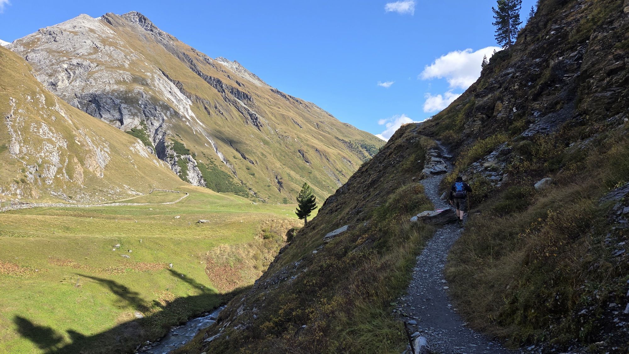
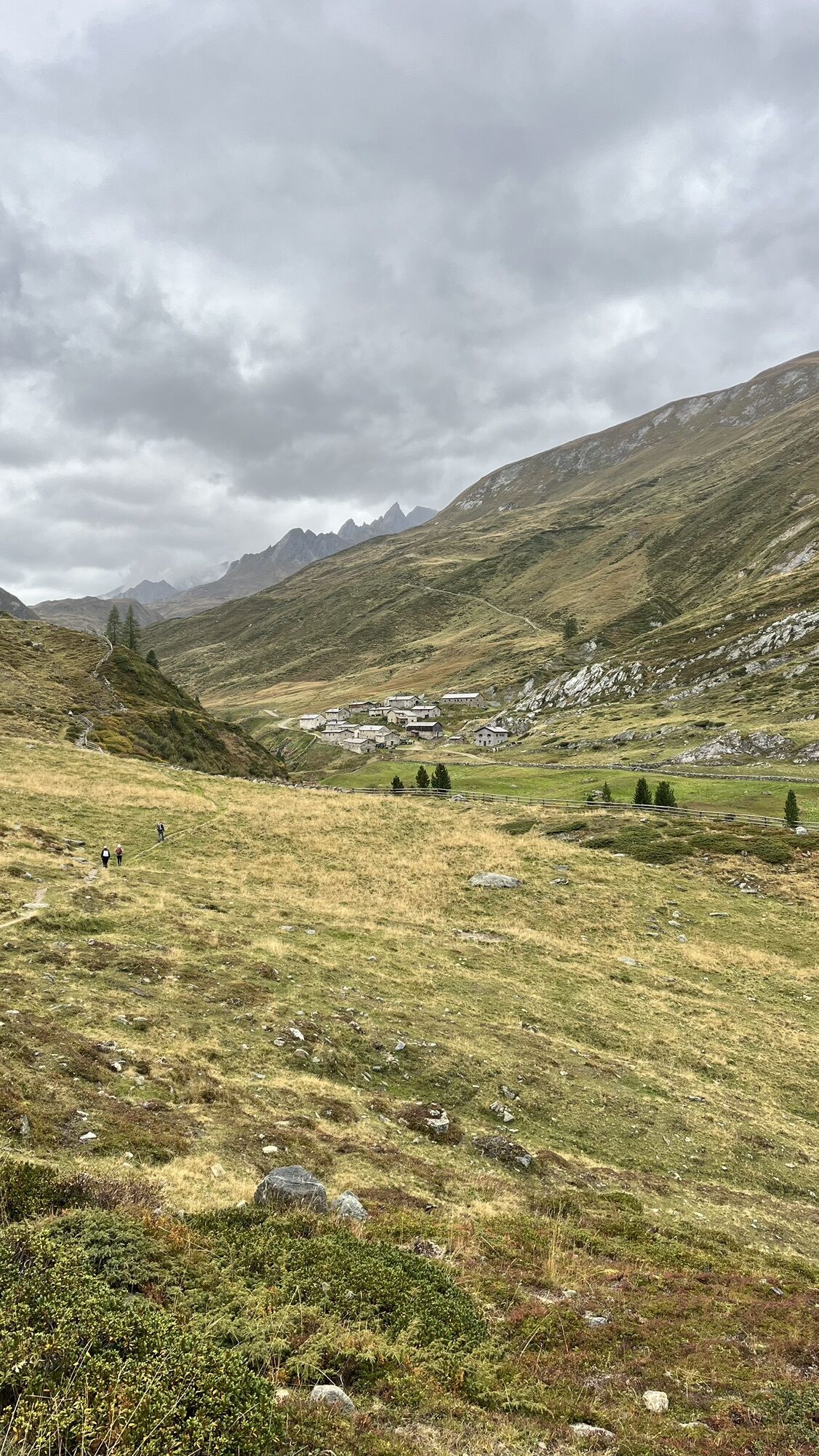

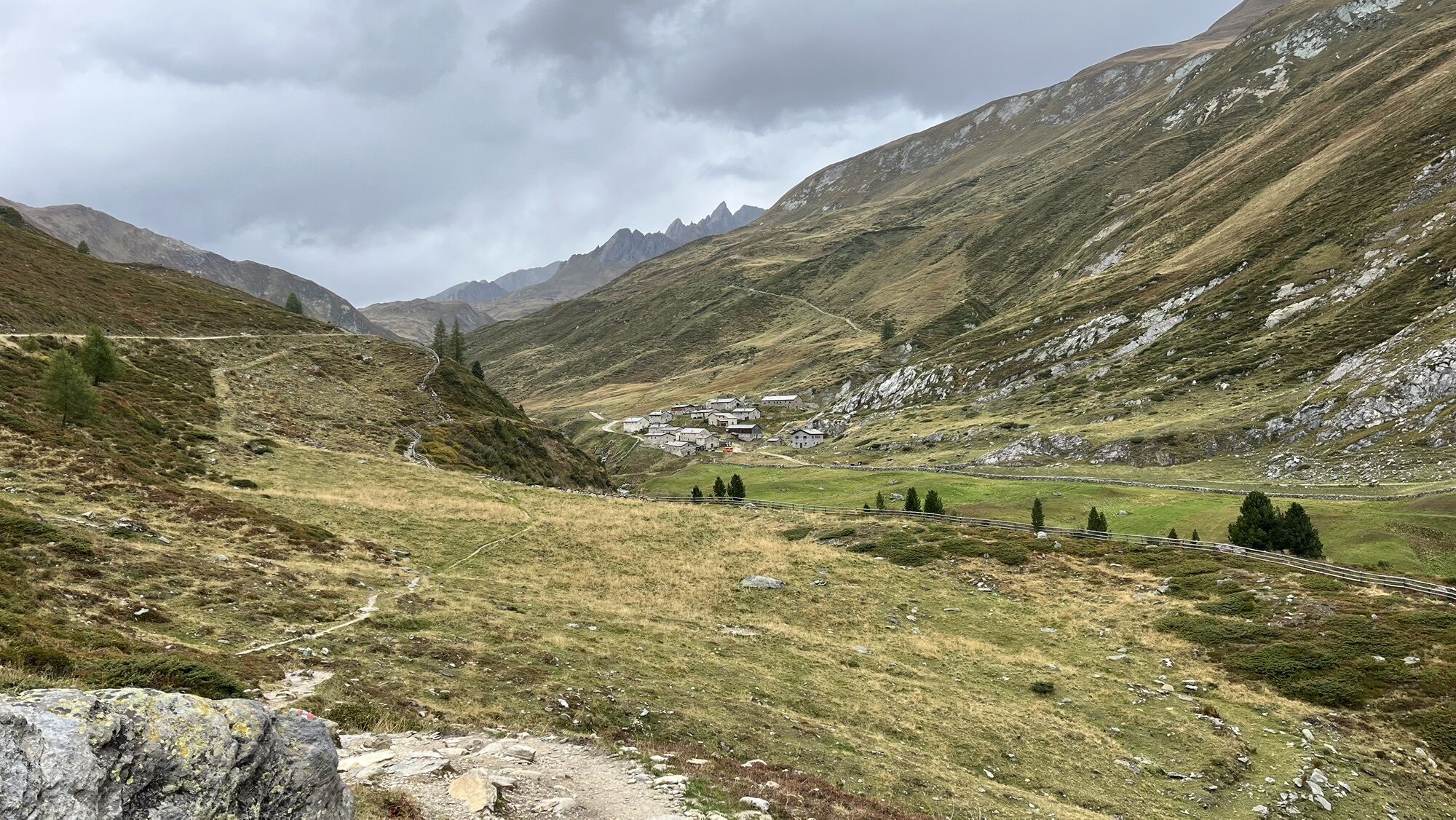
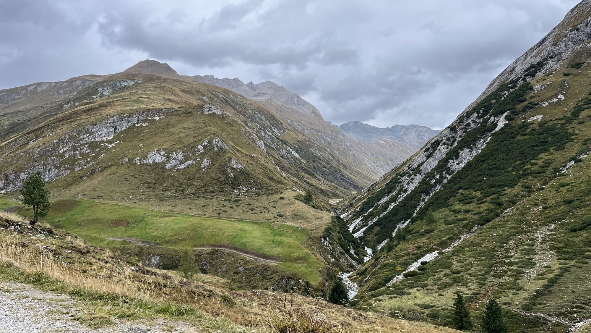
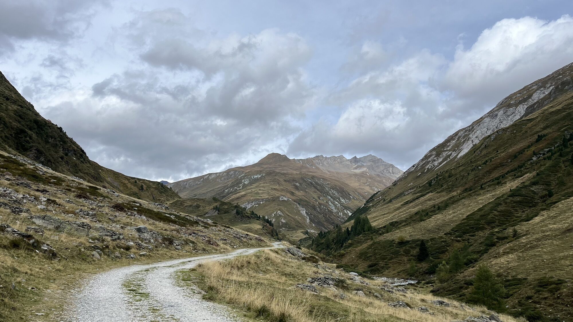

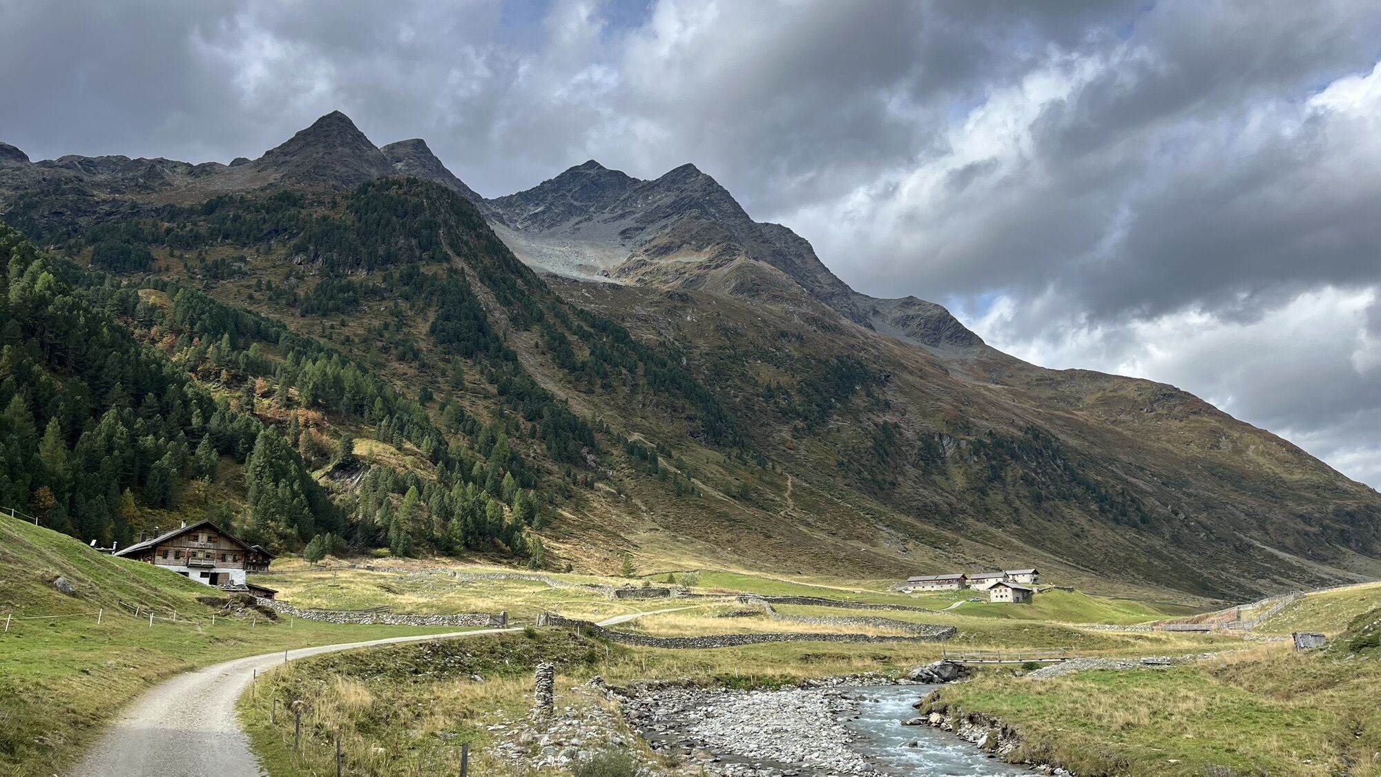
From Erlsbach, the route follows the toll road to the Alpengasthof Patsch, where a car park is available. After a short hike, you will come to the Alpengasthaus Oberhaus (currently closed). This is where...
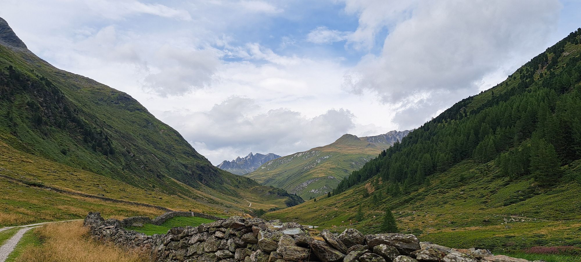
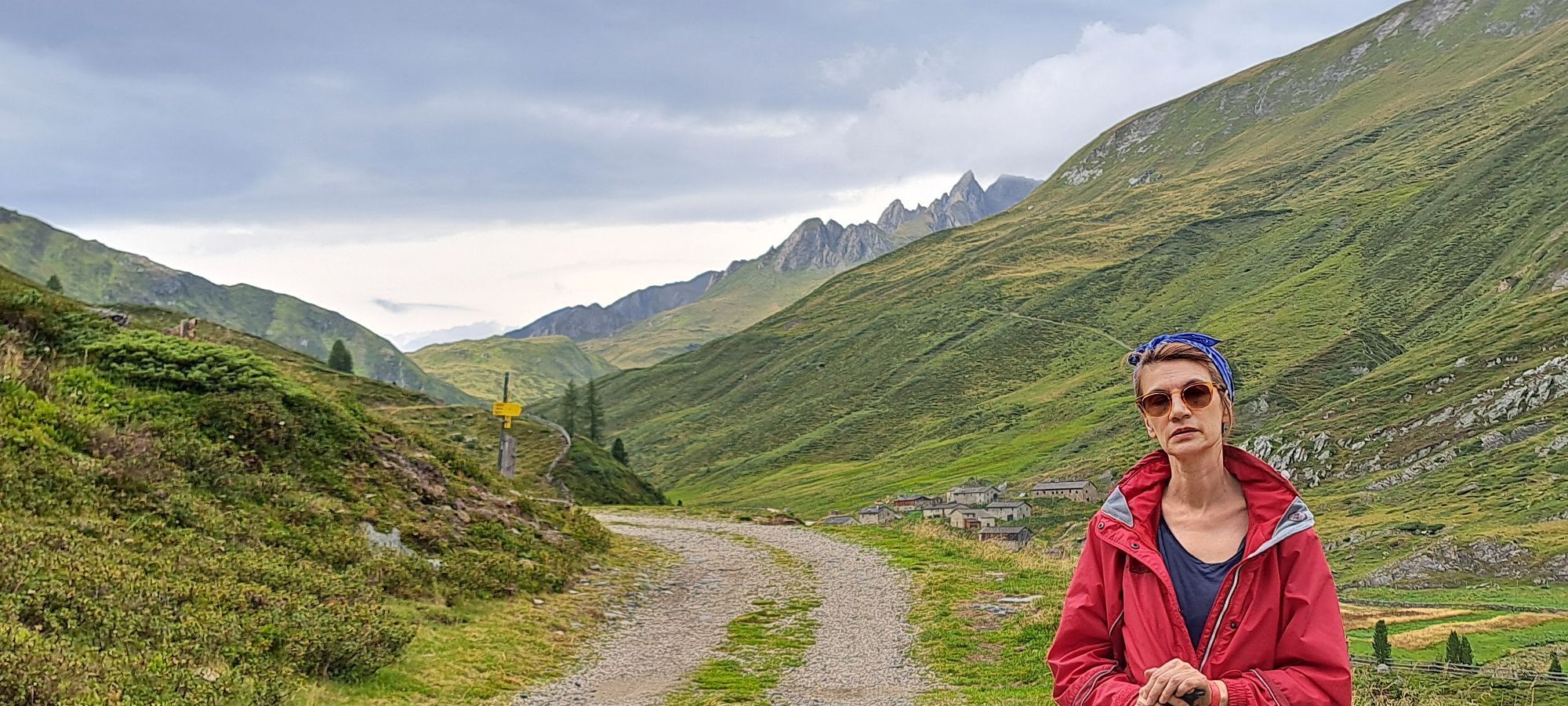
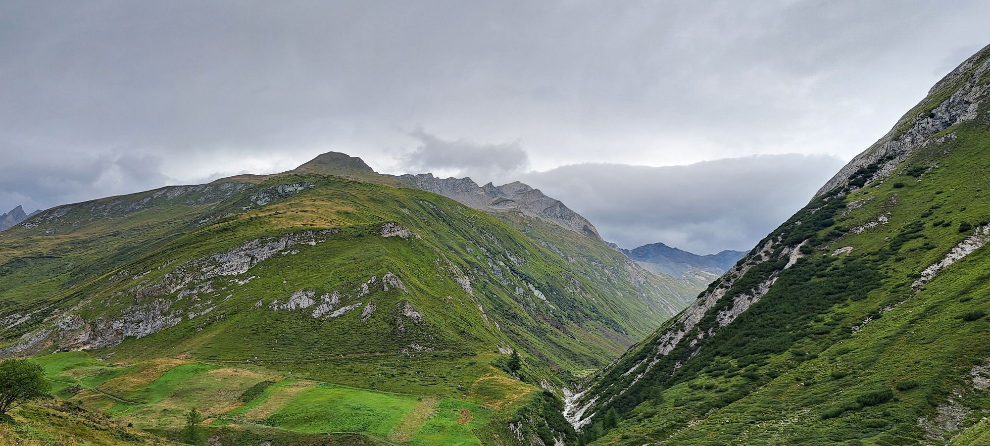
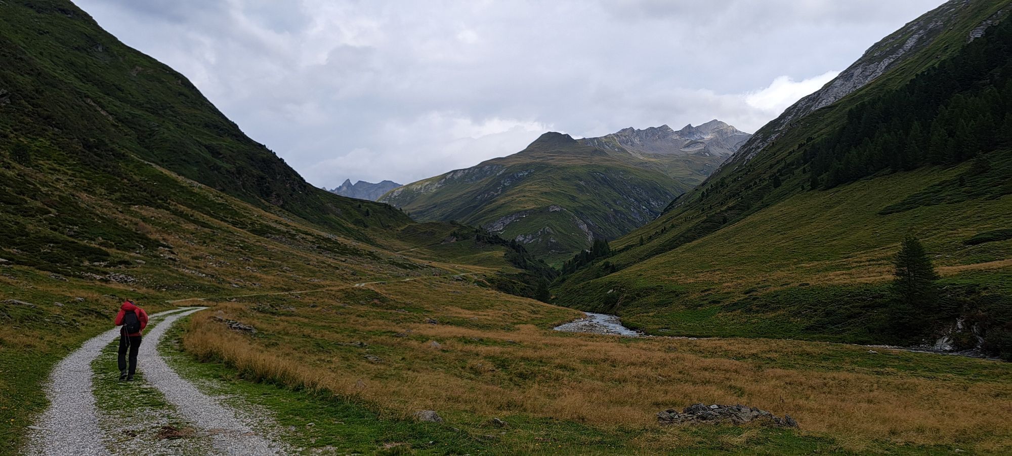
From Erlsbach, the route follows the toll road to the Alpengasthof Patsch, where a car park is available. After a short hike, you will come to the Alpengasthaus Oberhaus (currently closed). This is where the Nationalpark Hohe Tauern protected area begins.
From the inn, the hike continues along an alpine road, past the idyllic Seebachalm, to the historic Jagdhausalm, the oldest alpine village in Austria. From there you reach the Arventalalm, which is managed by South Tyrolean farmers.
The route offers a perfect combination of nature, history and culinary delights.

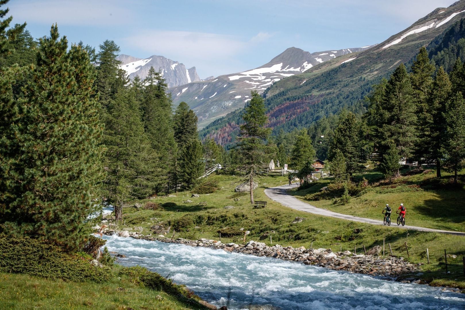


Von St. Jakob in Defereggen weiter bis zum Ortsteil Erlsbach. Nach Erlsbach rechts ins Patschertal abbiegen und der Straße bis zum Alpengasthaus Patsch folgen.
Haltestelle Erlsbach
Parkmöglichkeit beim Alpengasthaus Patsch

Rutas populares en los alrededores
-
4,8
NaturKraftWeg Umbalfälle
luzSendero temático 5,99 km -
4,8
Antholzer See - Steinzger Alm
medioSenderismo 7,48 km -
4,8
Stoden - Clarahütte
medioSenderismo 7,12 km -
4,9
Oberhausalm - Jagdhaushütte
luzSenderismo 14,0 km -
4,7
Rund um den Antholzer See
luzSenderismo 4,27 km -
4,6
Rote Wand
medioExcursión de alta montaña 12,0 km -
4,4
Seespitze
medioSenderismo 13,7 km -
3,6
Krimmler Tauernhaus - Cabaña Warnsdorfer - Gamsspitzl
pesadoSenderismo 10,5 km -
4,8
Erlsbach Almenrunde zum Klammljoch
medioMountainbike 35,3 km -
4,8
Wiesbauerspitze 2.767 m
medioSenderismo 9,66 km
Senderismo y rastreo


No se pierda las ofertas y la inspiración para sus próximas vacaciones
Su dirección de correo electrónico se ha añadido a la lista de correo.





