



Wanderung zur Lesachalmhütte

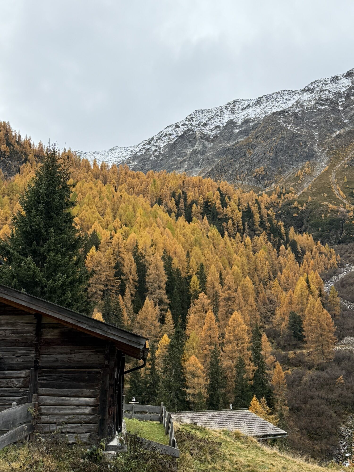

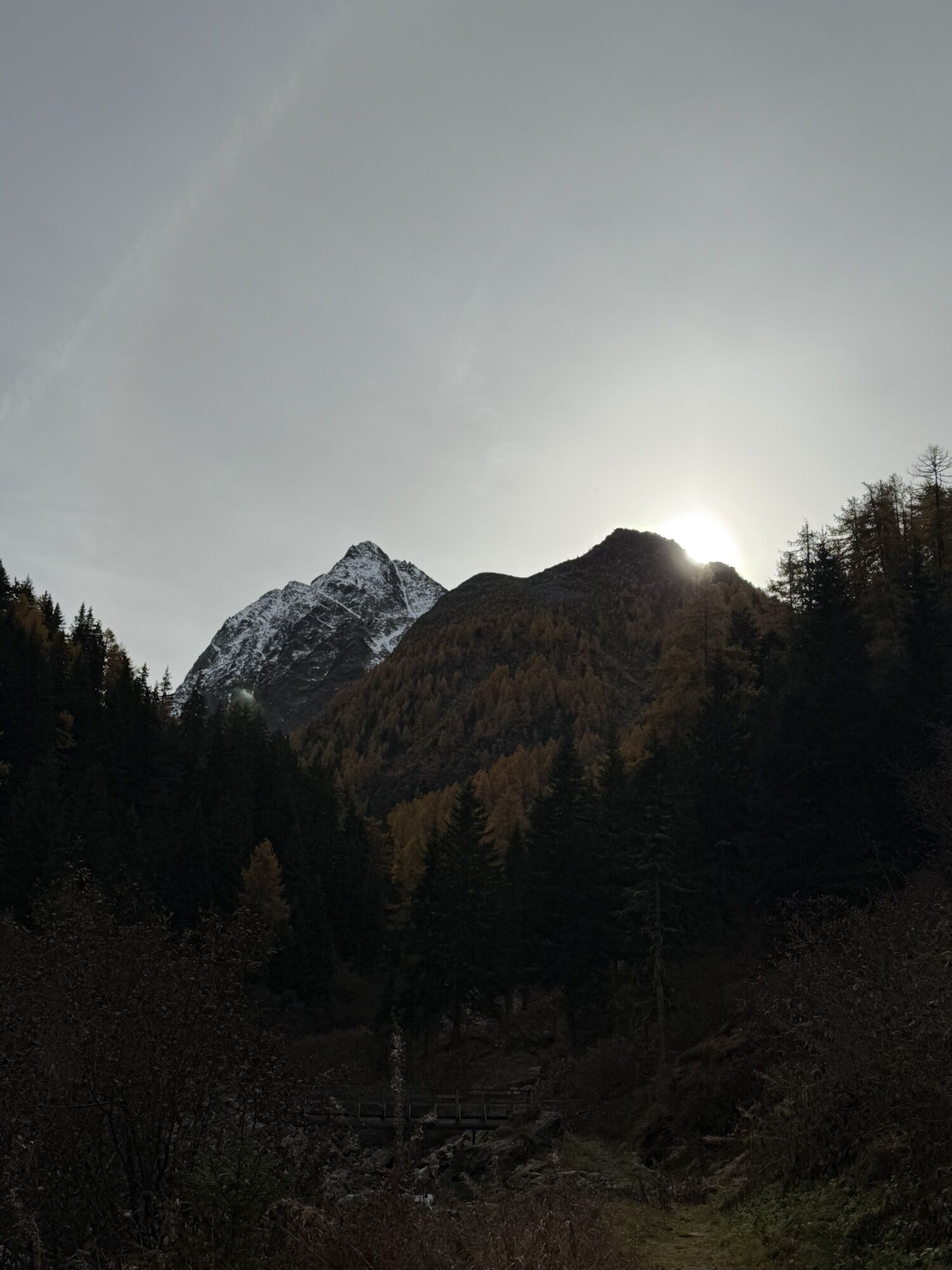
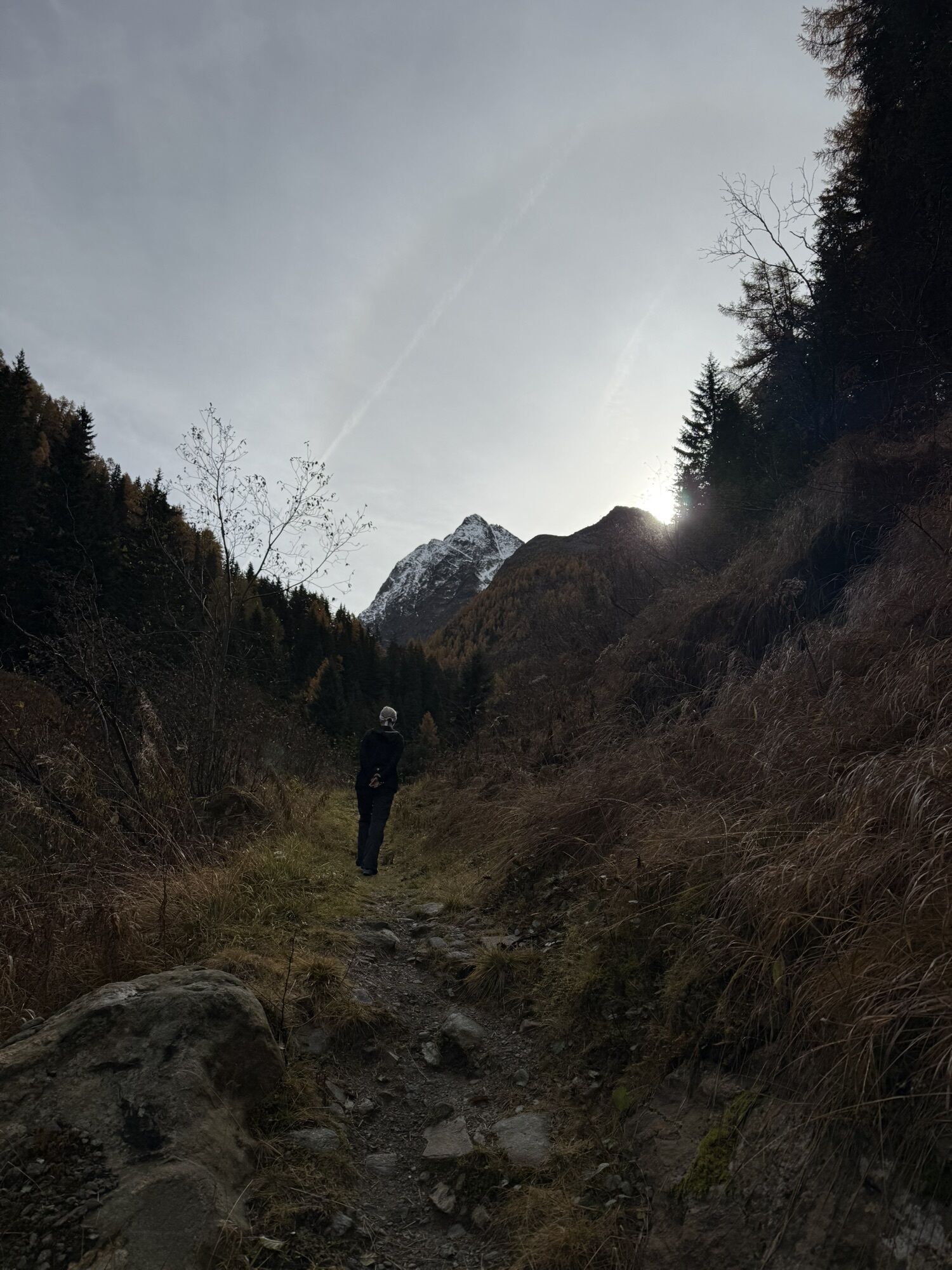
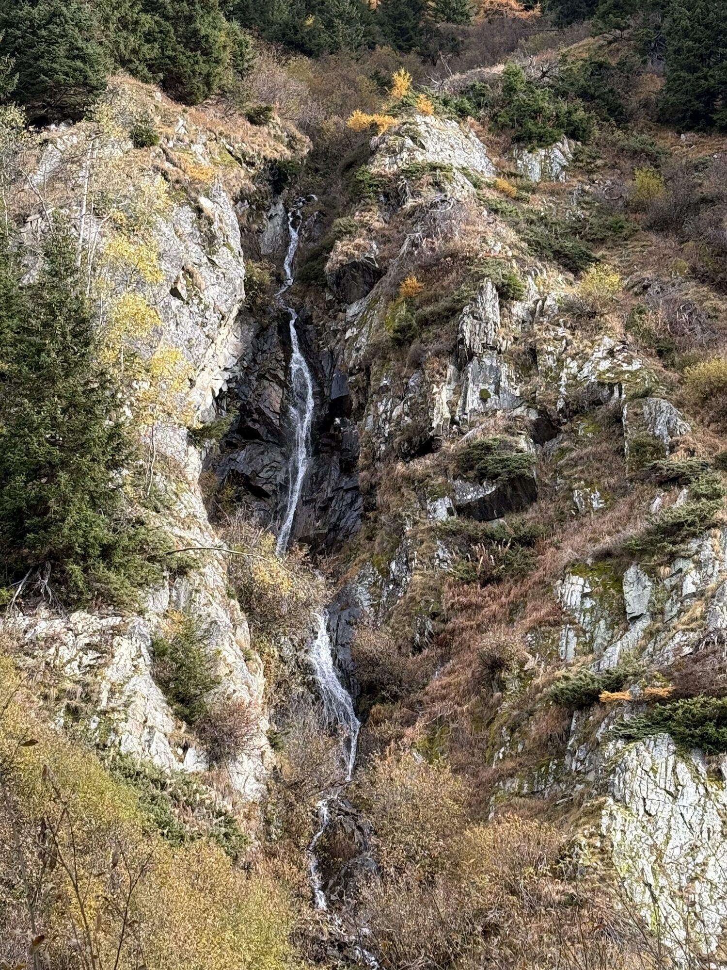
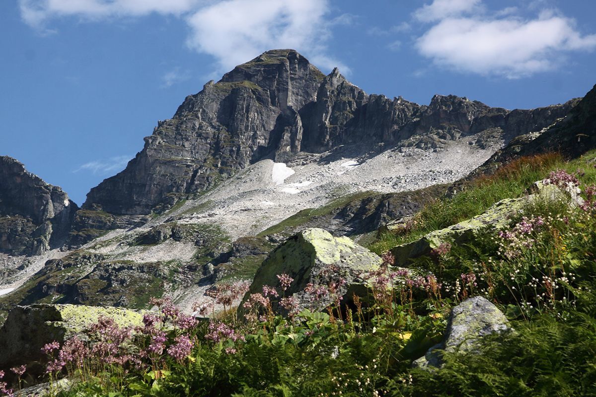
From the Lesach district of Kals (Lesachbrücke parking lot), a well-maintained footpath, hiking trail AV912, leads along the Lesachbach stream to the Lesachalm and the Alpengasthaus Glödis Refugium.
An interesting,...
An interesting, varied day tour, especially recommended as a round trip from Oberlesach via forest trail no. 60, where there is a private parking lot at the Amraserhof in Oberlesach with a one-off fee of € 3.00.



or up to Oberlesach by forest trail no. 60
Basic equipment for mountain hiking includes sturdyâ¯hikingâ¯boots with a good tread, a 30-35 liter backpack, and functional clothing based on the layering principle, including sufficient spare clothes. Essential items are rain, cold, and sun protection, adequate fluids and food, as well as a first-aid kit and a charged mobile phone. A map or a GPS device supports orientation.
The information serves as a guideline and does not claim to be exhaustive. Equipment must always be adapted to theâ¯planned route, weather conditions, season, natural hazards, environmental influences, and personal needs.
or up to Oberlesach by forest trail no. 60
by bus line 952, bus stop Kals/Lesacherhof
or up to Oberlesach by forest trail no. 60
car park at Kals/Lesach - Unterlesach: hiking trail AV 912
or up to Oberlesach, car park at Amraserhof, fee € 3,00: forest trail no. 60



Webcams del recorrido
-
Matrei Bergstation Goldried
-
Kals - Gradonna
-
Berggasthaus Goldried
-
Kals am Großglockner
-
Kals am Großglockner
-
Adlerlounge - Cimaross
-
Adlerlounge - Cimaross
-
Adlerlounge - Cimaross
-
Adlerlounge - Cimaross
-
Adlerlounge - Cimaross
-
Adlerlounge - Cimaross
-
Adlerlounge - Cimaross
-
Adlerlounge - Cimaross
-
Kalser Glocknerstraße - Glocknerwinkel
-
Lucknerhaus

Rutas populares en los alrededores
-
4,9
Wangennitzsee Hütte
medioSenderismo 3,80 km -
4,8
Summit hike Rotenkogel 2,762m
pesadoSenderismo 4,22 km -
4,8
Kaiser-Franz-Josefs-Höhe a la cabaña Oberwalder
pesadoSenderismo 5,52 km -
4,5
Circular hike Proßeggklamm
medioSenderismo 8,41 km -
4,5
Camino glaciar a la Pasterze con camino Gamsgruben (hasta túnel 6)
medioSenderismo 8,05 km -
4,9
Figerhorn 2743m, Lucknerhaus
pesadoSenderismo 6,69 km -
4,9
Glockner Alpincenter - Salmhütte - Hohenwartkees
medioSenderismo 8,64 km -
4,9
Glockner
medioExcursión de alta montaña 19 km -
4,8
Adlerlounge Europapanoramaweg
medioSenderismo 6,86 km -
4,7
Glödis 3206m: PP Seichenbrunn, Lienzer Hütte, Glödis KS A/B
pesadoExcursión de alta montaña 16,1 km
Senderismo y rastreo


No se pierda las ofertas y la inspiración para sus próximas vacaciones
Su dirección de correo electrónico se ha añadido a la lista de correo.


