






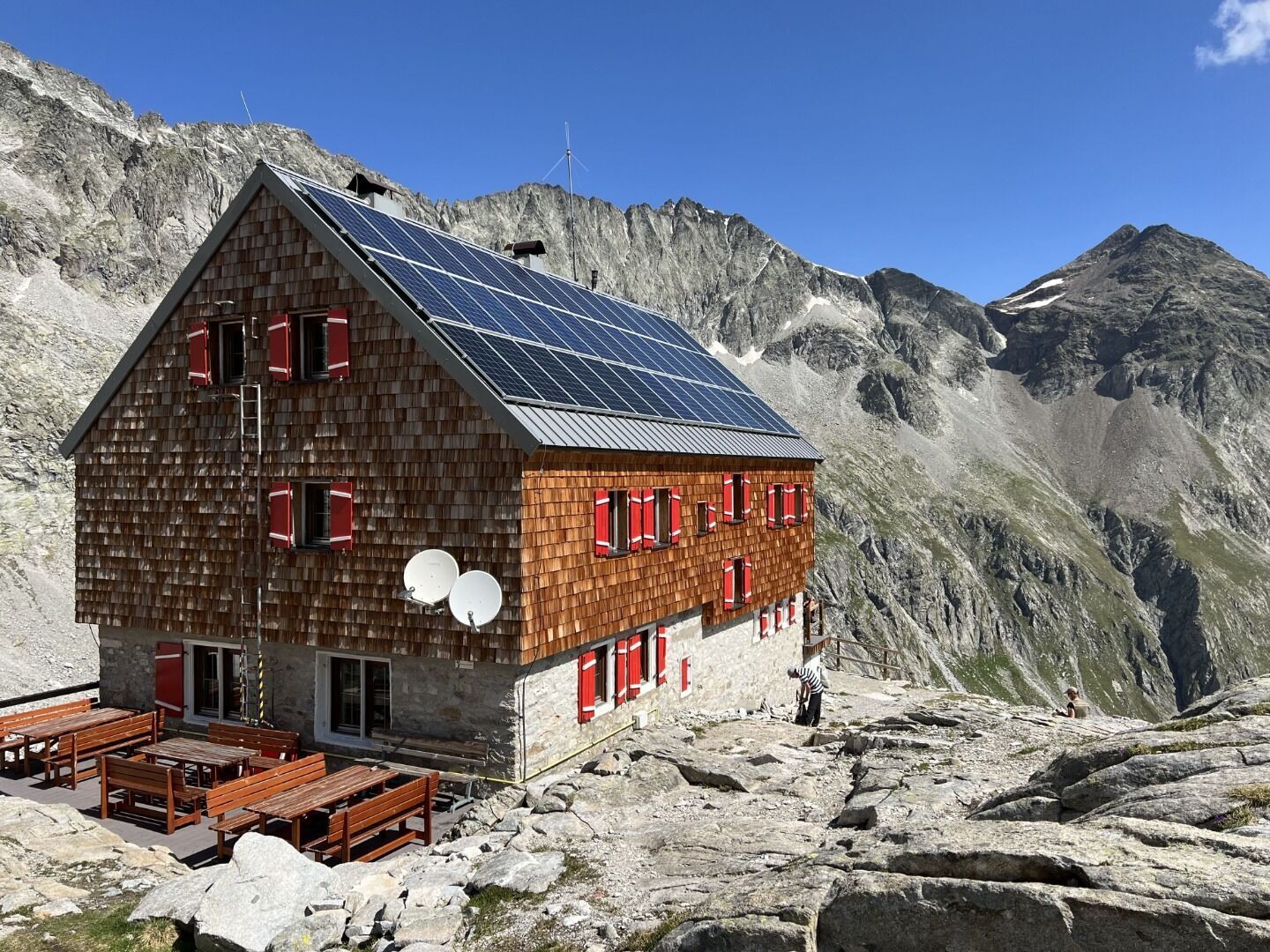
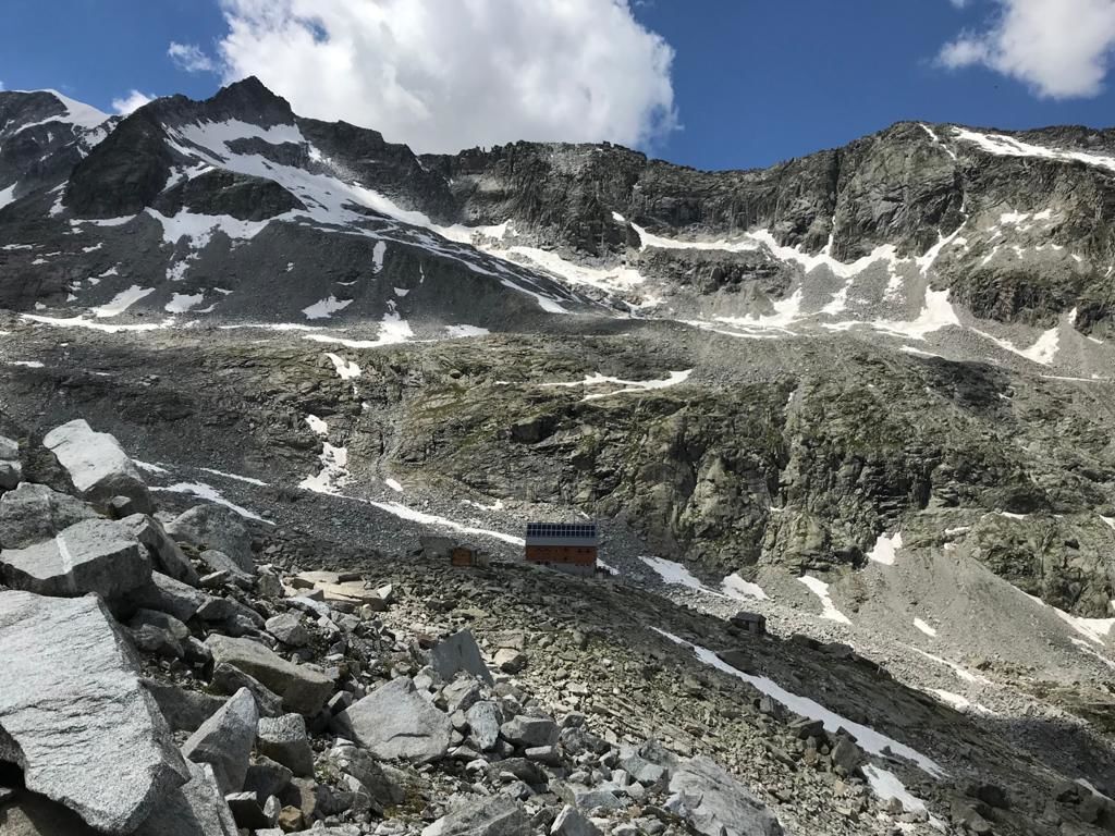
Hike to Barmer Hütte 2.610m
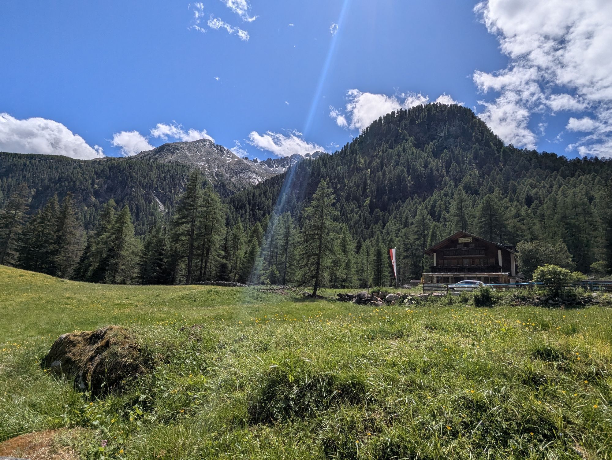
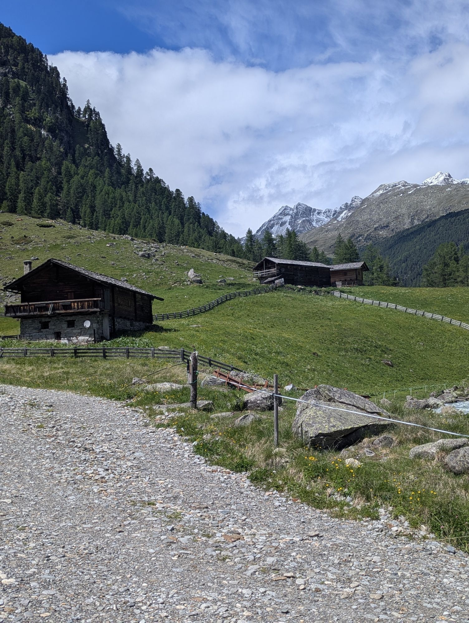
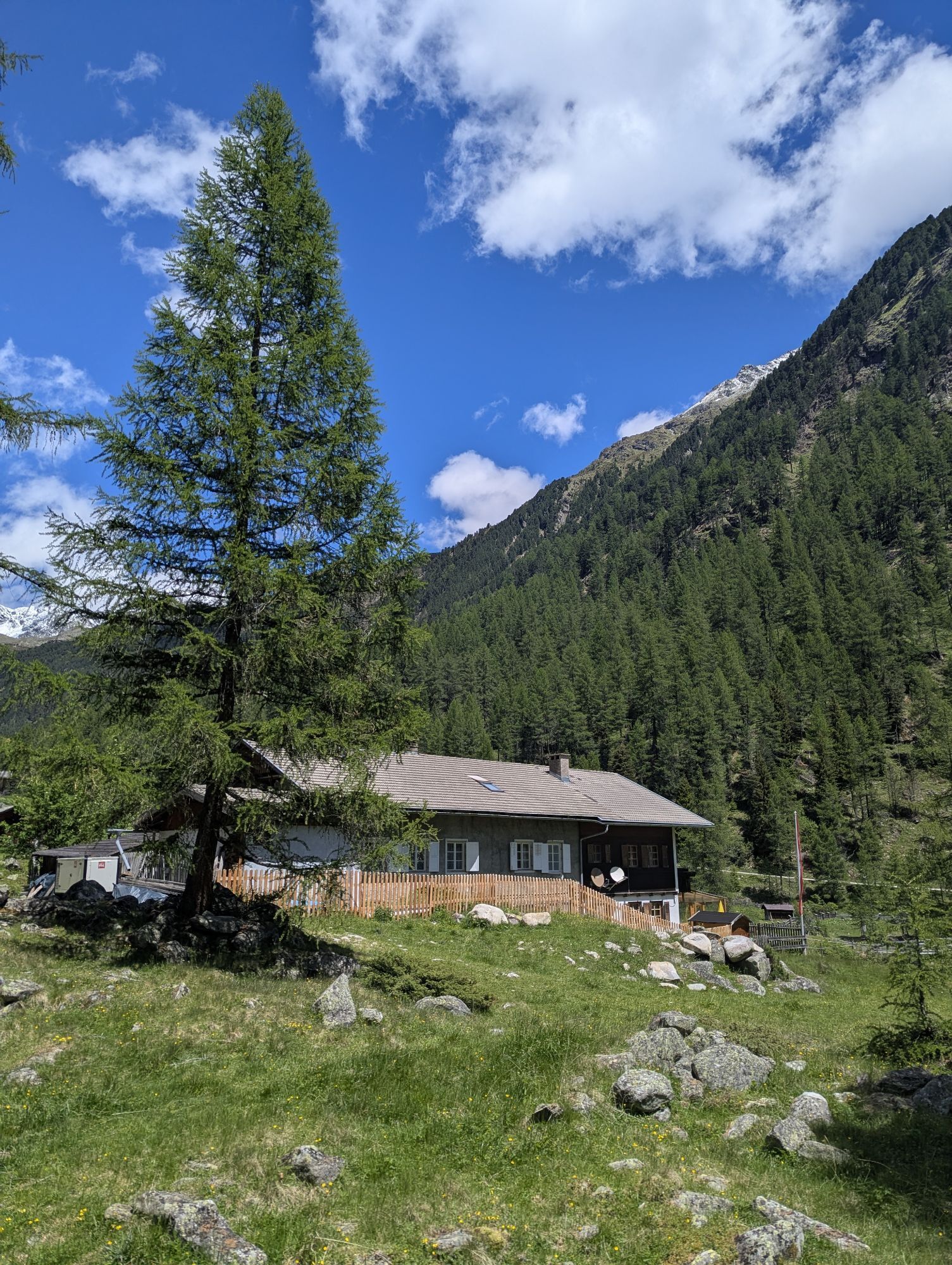
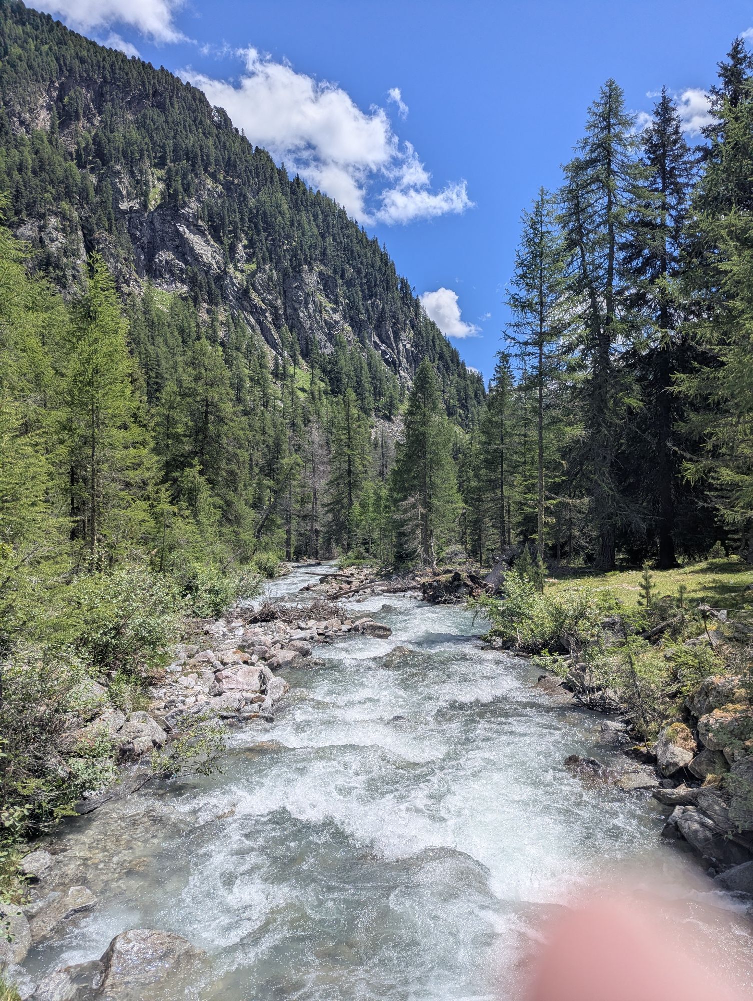
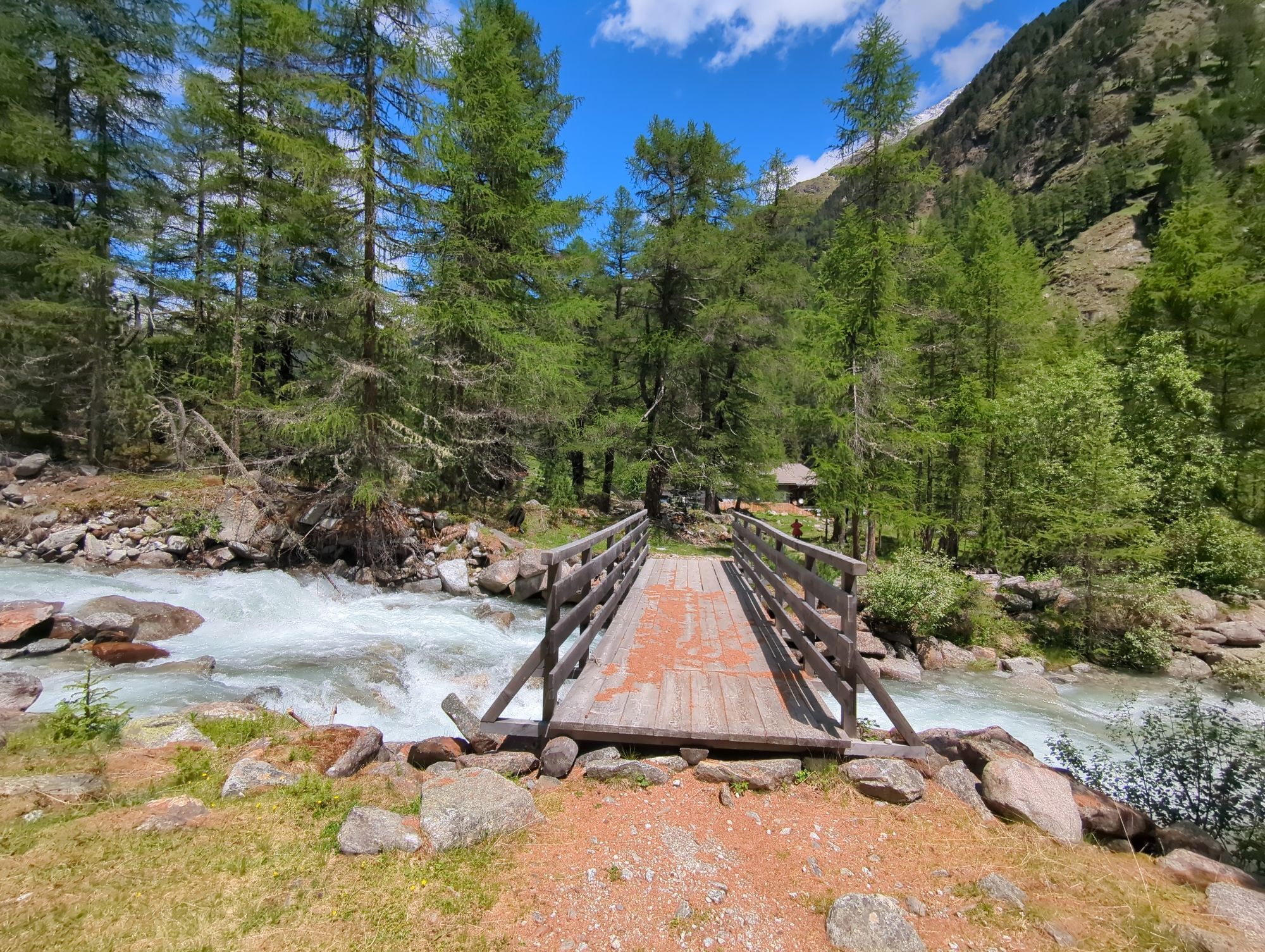
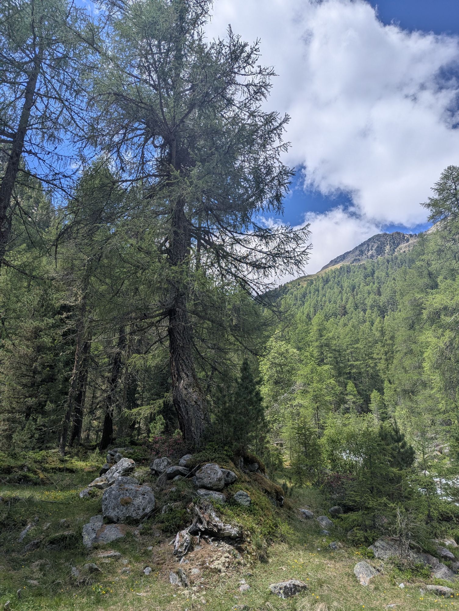
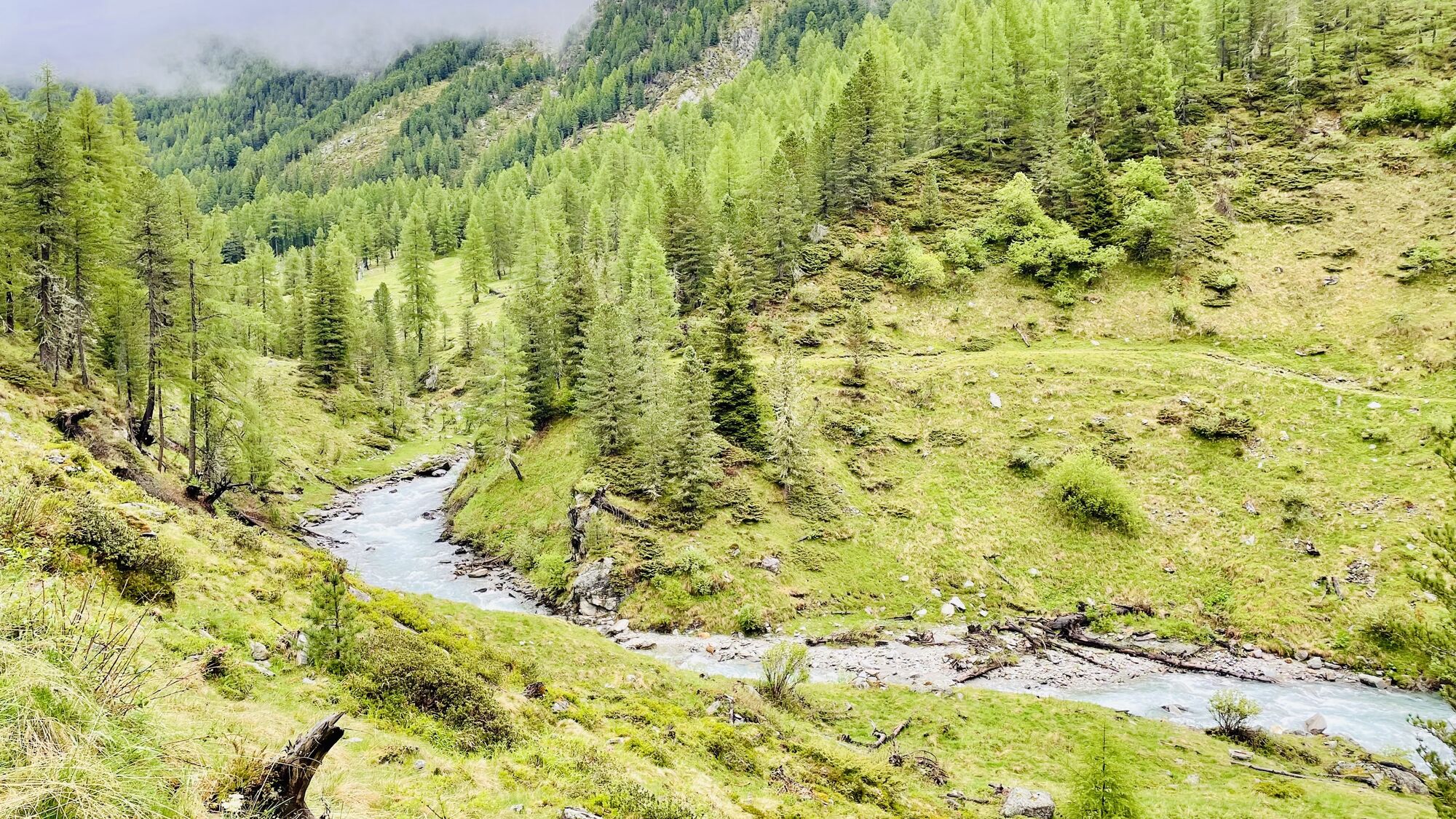
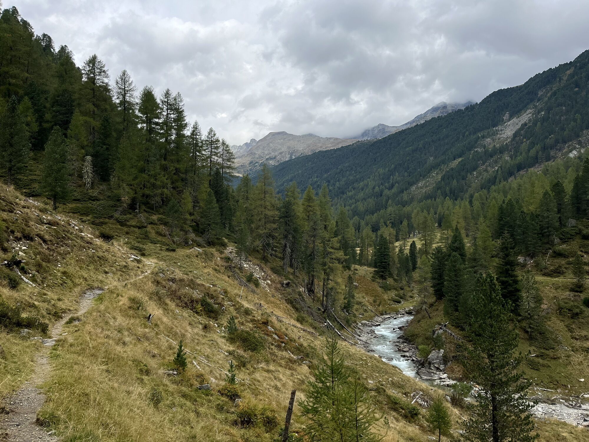
Starting from Patscherhütte carpark, first follow the broader driveway to Patschertal Valley. After passing the lift building to Barmer Hütte, follow the narrow path to the end of the valley from where...
Starting from Patscherhütte carpark, first follow the broader driveway to Patschertal Valley. After passing the lift building to Barmer Hütte, follow the narrow path to the end of the valley from where it takes a quite steep ascent to Barmer Hütte. In this mountain lodge hosted by the German Alpine Association Section Barmen, German as well as Austrian specialties are served. The lodge is a perfect “base camp” for tours to the summits of Hochgall, Barmer Spitze, Almerhorn, and many other peaks of the Rieserferner Group



Von St. Jakob in Defereggen bis zum Ortsteil Erlsbach. Nach Erlsbach rechts ins Patschertal abbiegen bis zum Parkplatz Patscherhütte.
Haltestelle Erlsbach
Parkplatz Patscherhütte

 Infórmate
Siempre en directo con más de 9.500 webcams. bergfex Como usuario Pro, ahora puede ver las webcams correspondientes a muchos tours en la app de tours desde. Esto le permite ver las condiciones actuales directamente.
Infórmate
Siempre en directo con más de 9.500 webcams. bergfex Como usuario Pro, ahora puede ver las webcams correspondientes a muchos tours en la app de tours desde. Esto le permite ver las condiciones actuales directamente.
Actividades a lo largo del recorrido

Rutas populares en los alrededores
-
4,8
NaturKraftWeg Umbalfälle
luzSendero temático 5,99 km -
4,6
Mountain hike to Mountain „Lutterkopf and Durakopf (2145/2275m)“
medioSenderismo de montaña 11,8 km -
4,8
Antholzer See - Steinzger Alm
medioSenderismo 7,48 km -
4,8
Stoden - Clarahütte
medioSenderismo 7,12 km -
4,7
Rund um den Antholzer See
luzSenderismo 4,27 km -
4,9
Oberhausalm - Jagdhaushütte
luzSenderismo 14,0 km -
4,9
Erlsbach Almenrunde zum Klammljoch
medioMountainbike 35,3 km -
4,6
Rote Wand
medioExcursión de alta montaña 12,0 km -
4,8
Wiesbauerspitze 2.767 m
medioSenderismo 9,66 km -
4,1
Seespitze
medioSenderismo 13,7 km
Senderismo y rastreo


No se pierda las ofertas y la inspiración para sus próximas vacaciones
Su dirección de correo electrónico se ha añadido a la lista de correo.





