






Alpine pilgrim trail "Hoch und Heilig" - Stage 4: St. Oswald - Innichen
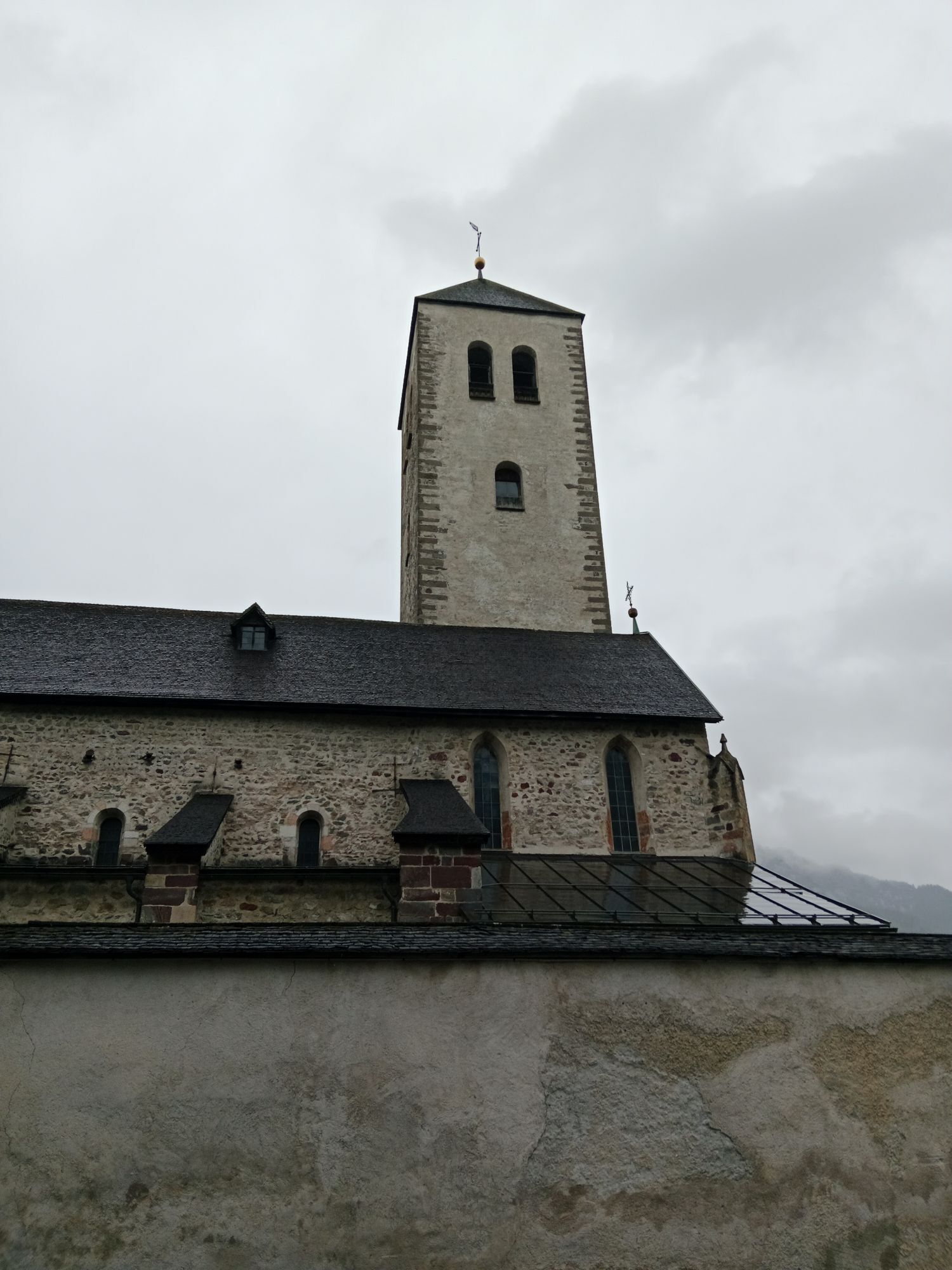
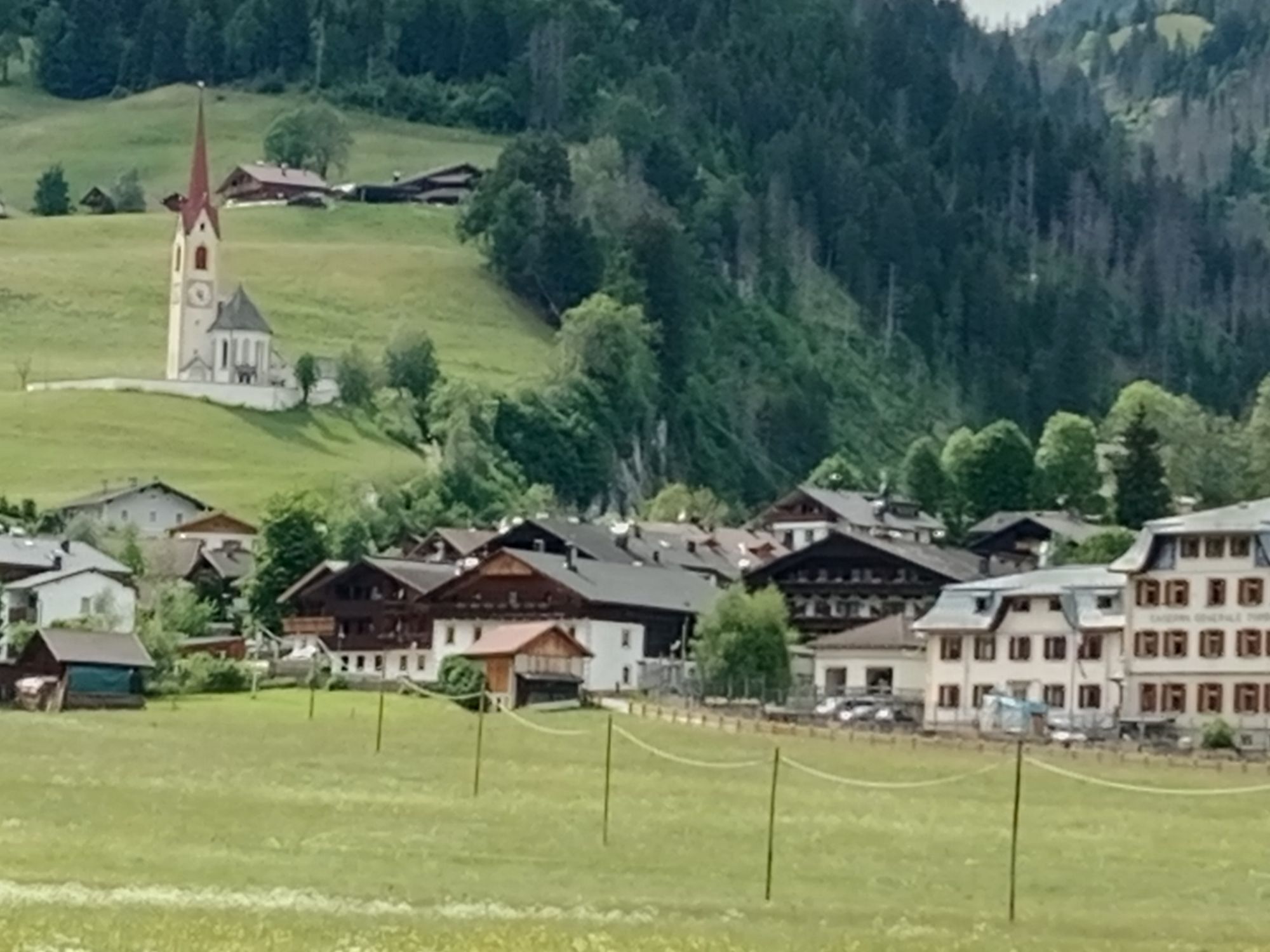
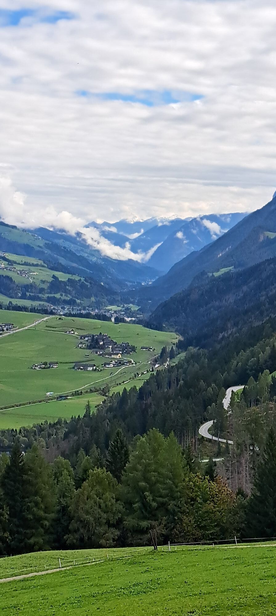
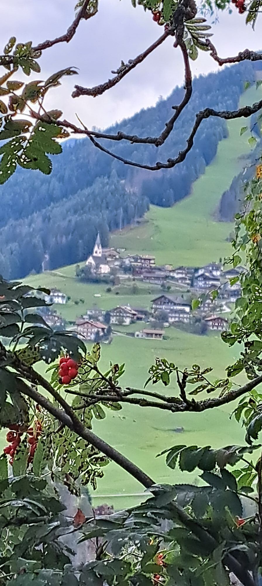
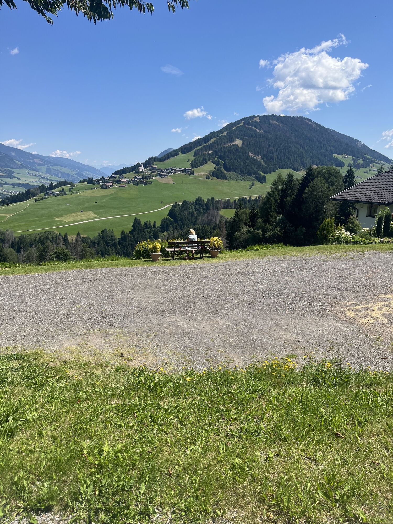
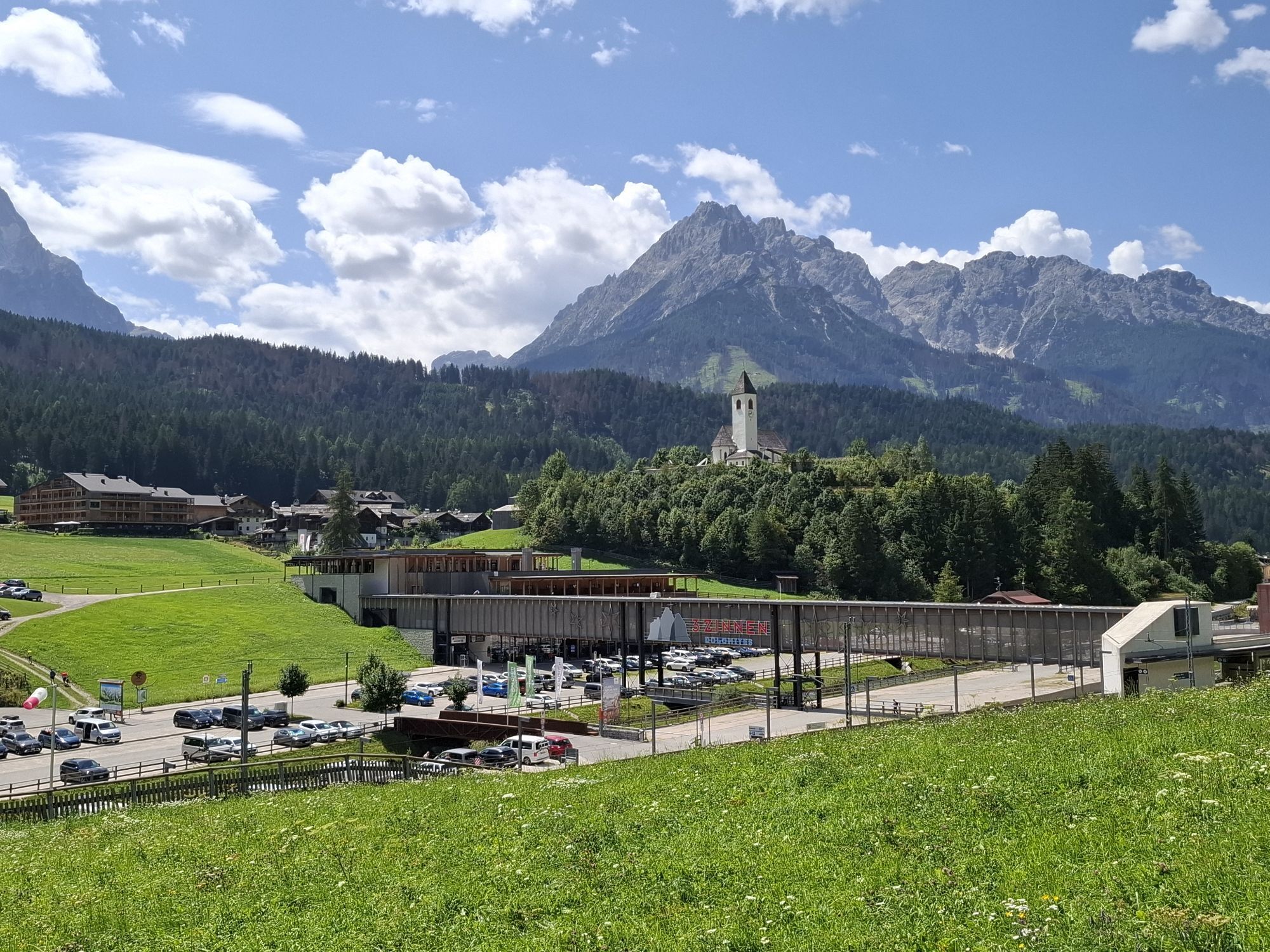
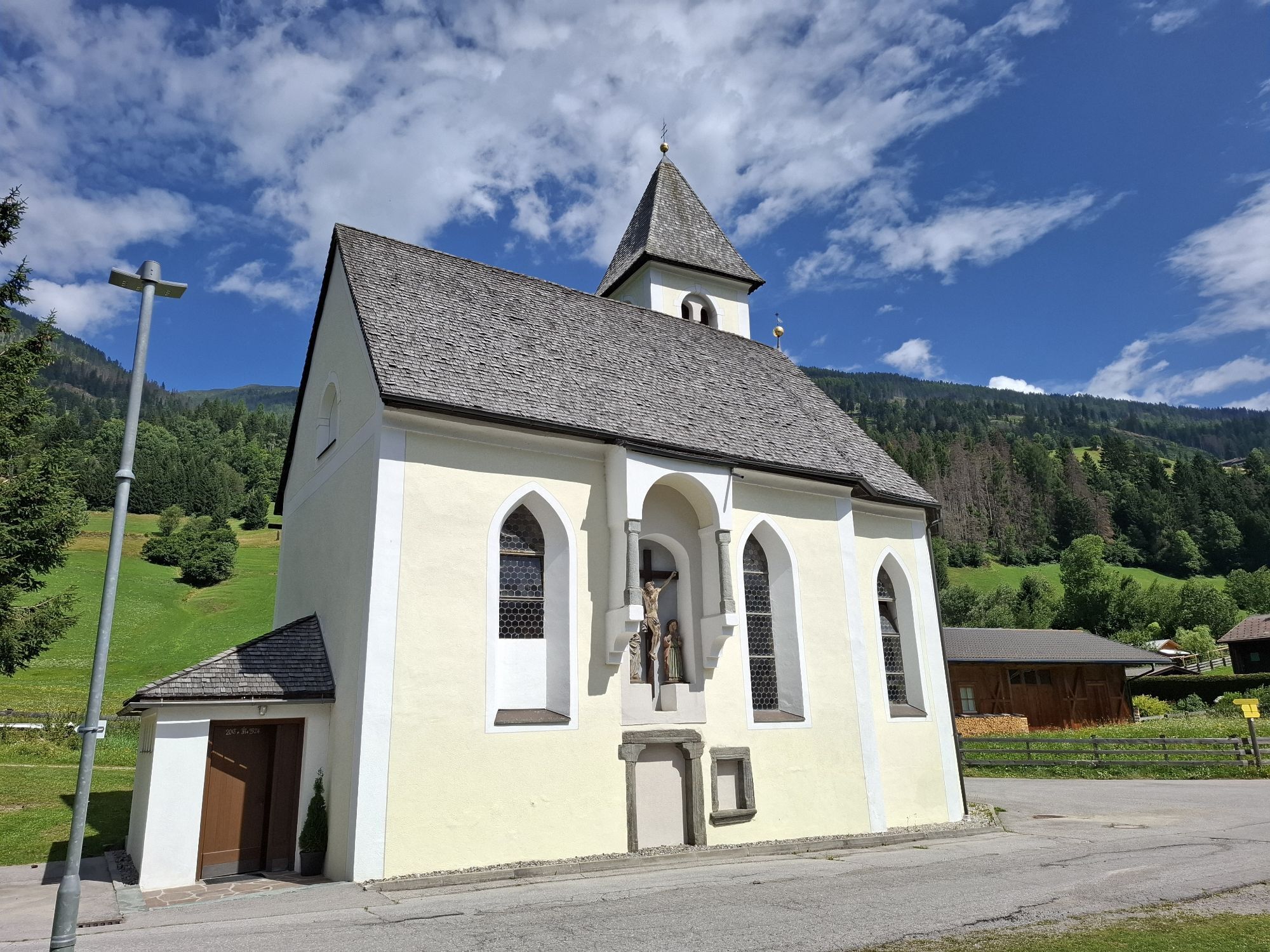
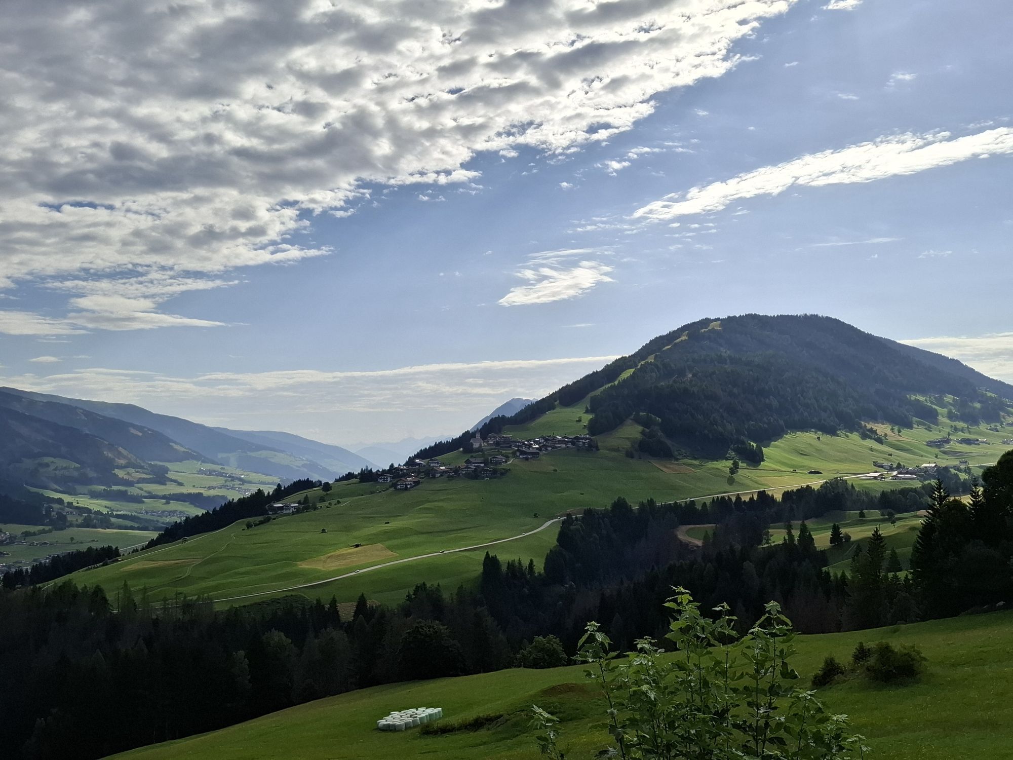

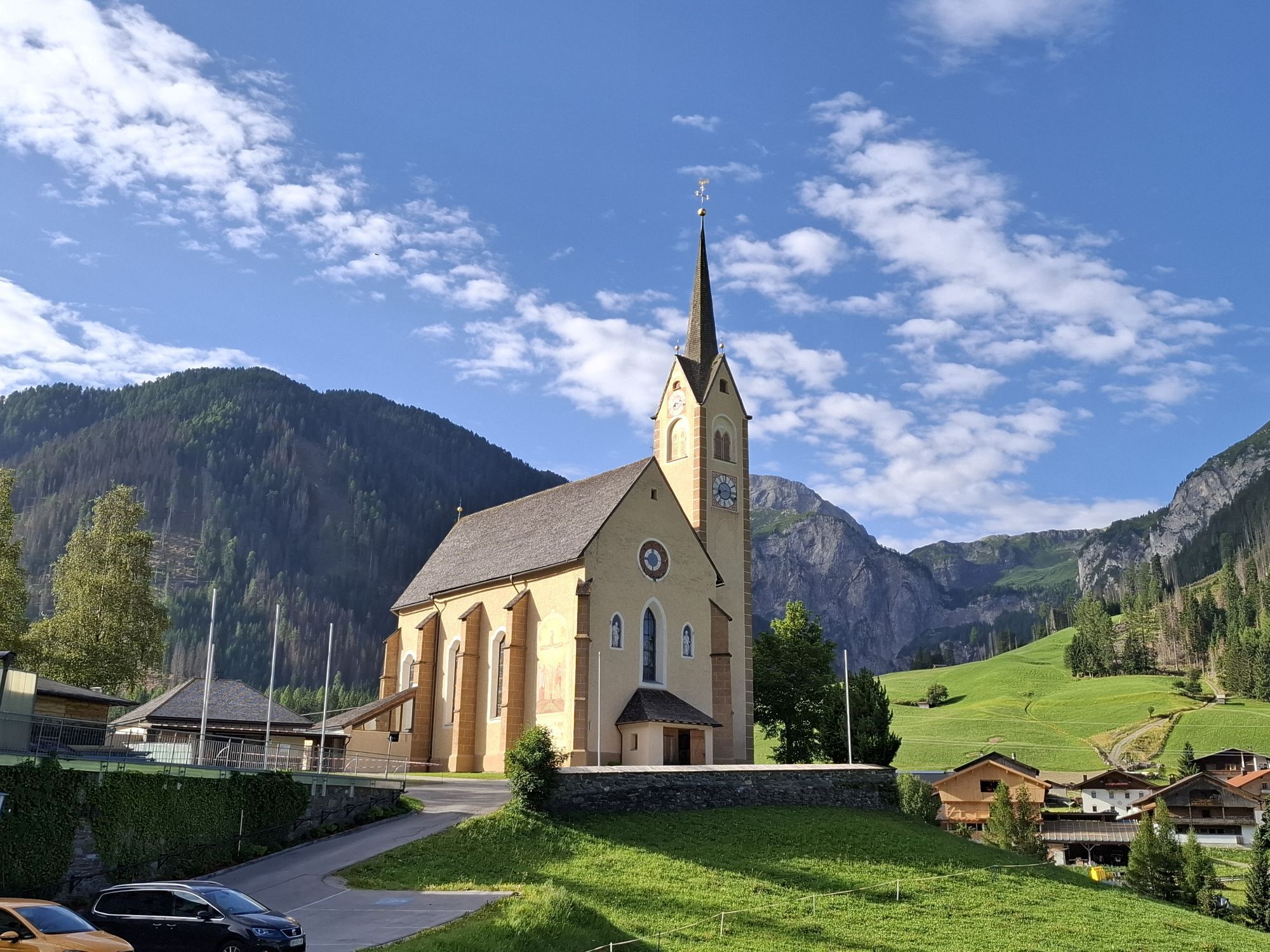
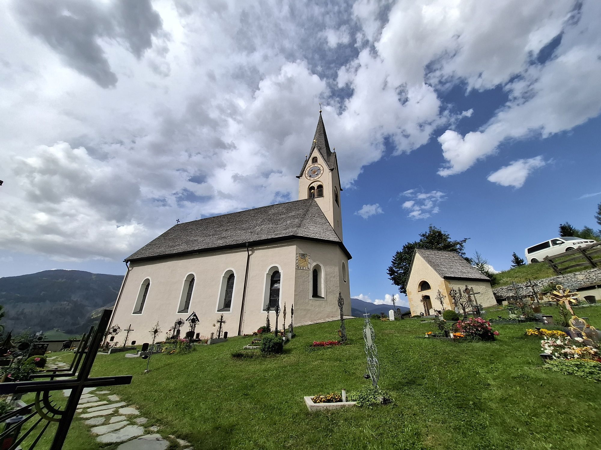
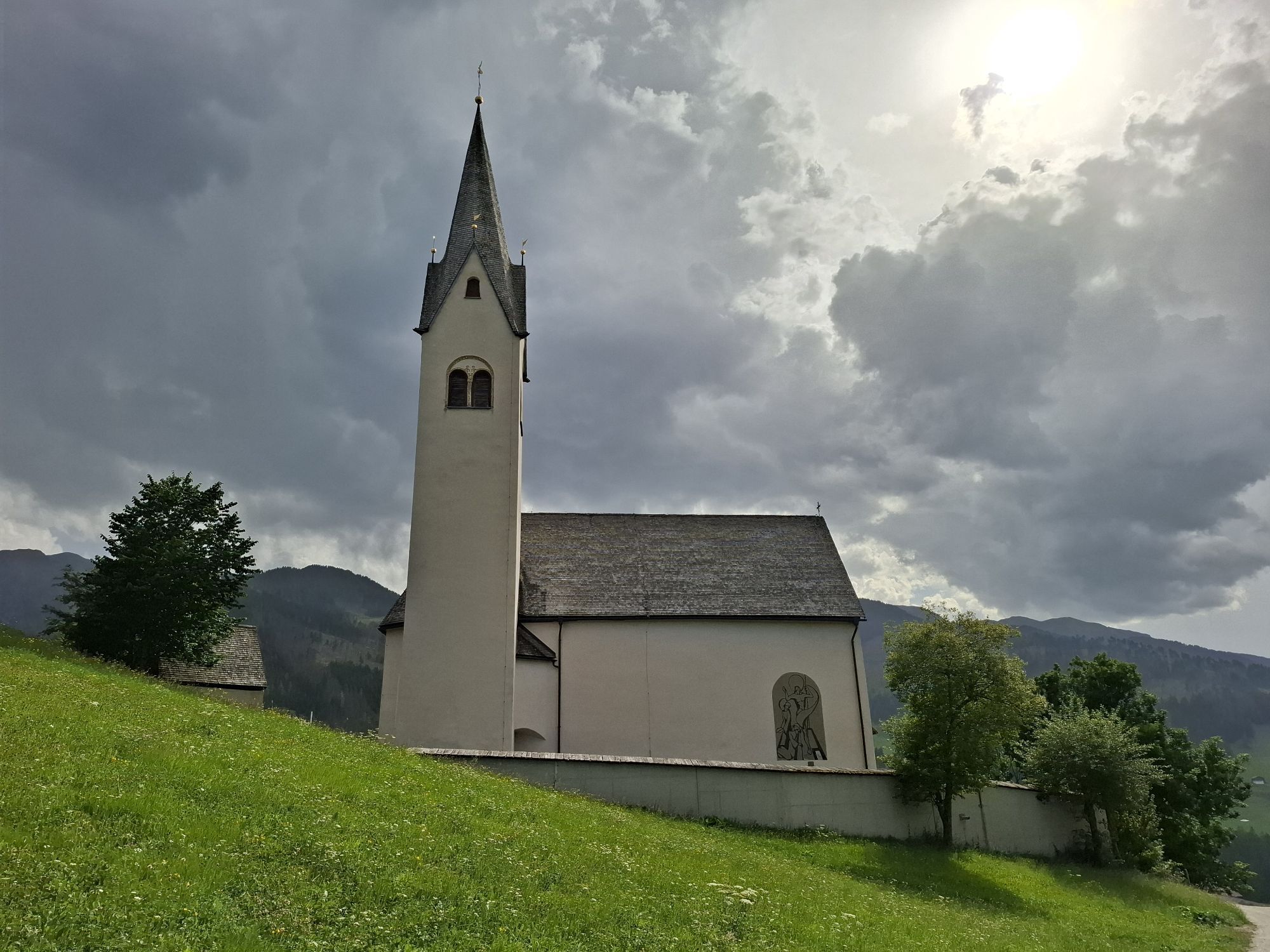
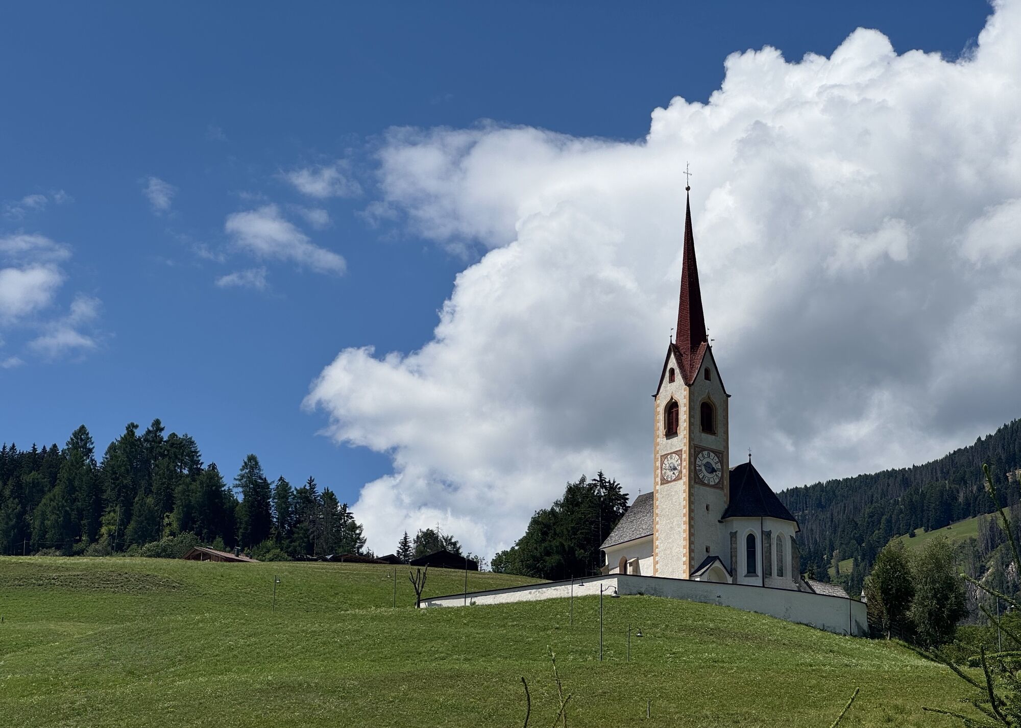
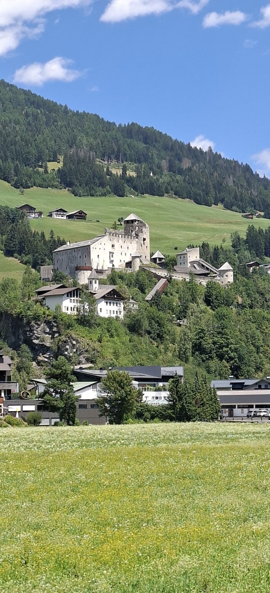

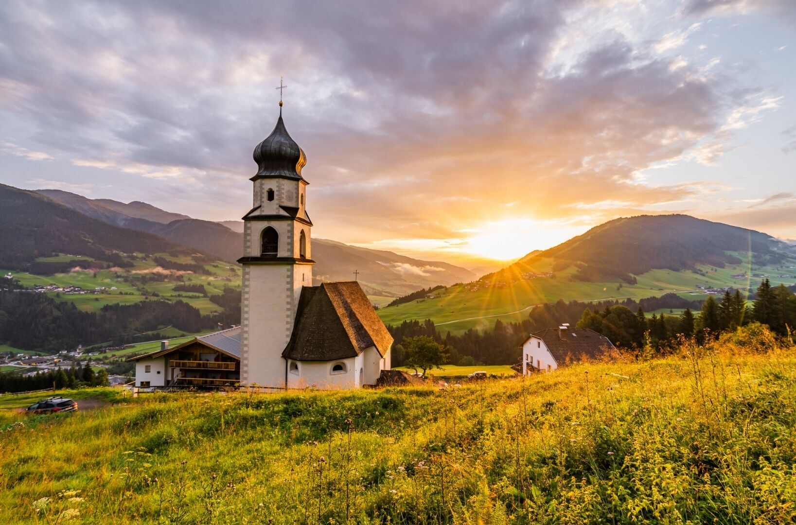
Starting from St. Oswald, this stage first follows the ‘Oswald Kollreider Artists’ Trail’ to Kartitsch, where the parish church of St. Leonhard is located. From there, after crossing the main road, the...
Starting from St. Oswald, this stage first follows the ‘Oswald Kollreider Artists’ Trail’ to Kartitsch, where the parish church of St. Leonhard is located. From there, after crossing the main road, the route continues towards Kanter/Schuster. From there, we reach the Hollbruck pilgrimage church via the Hollbruck road.
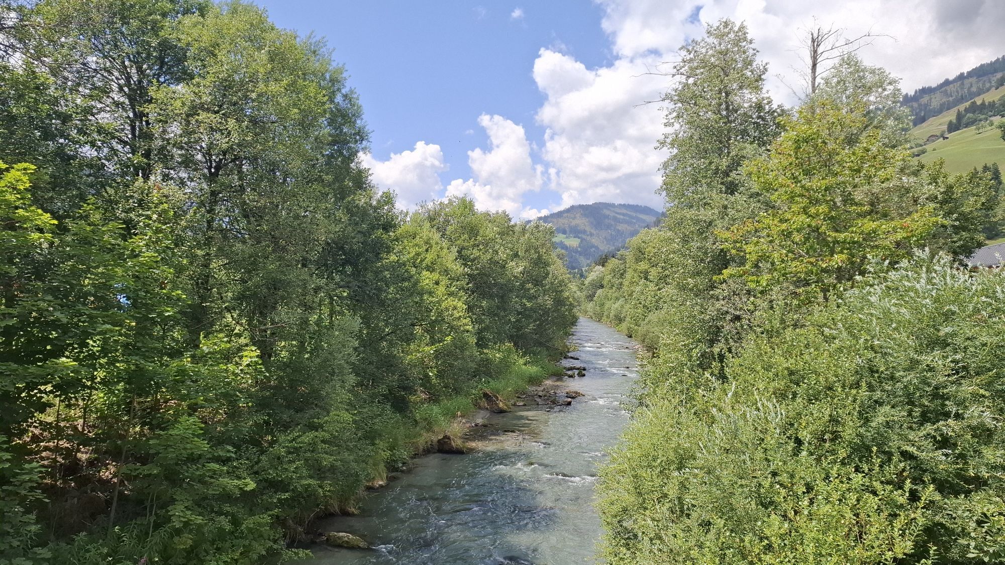
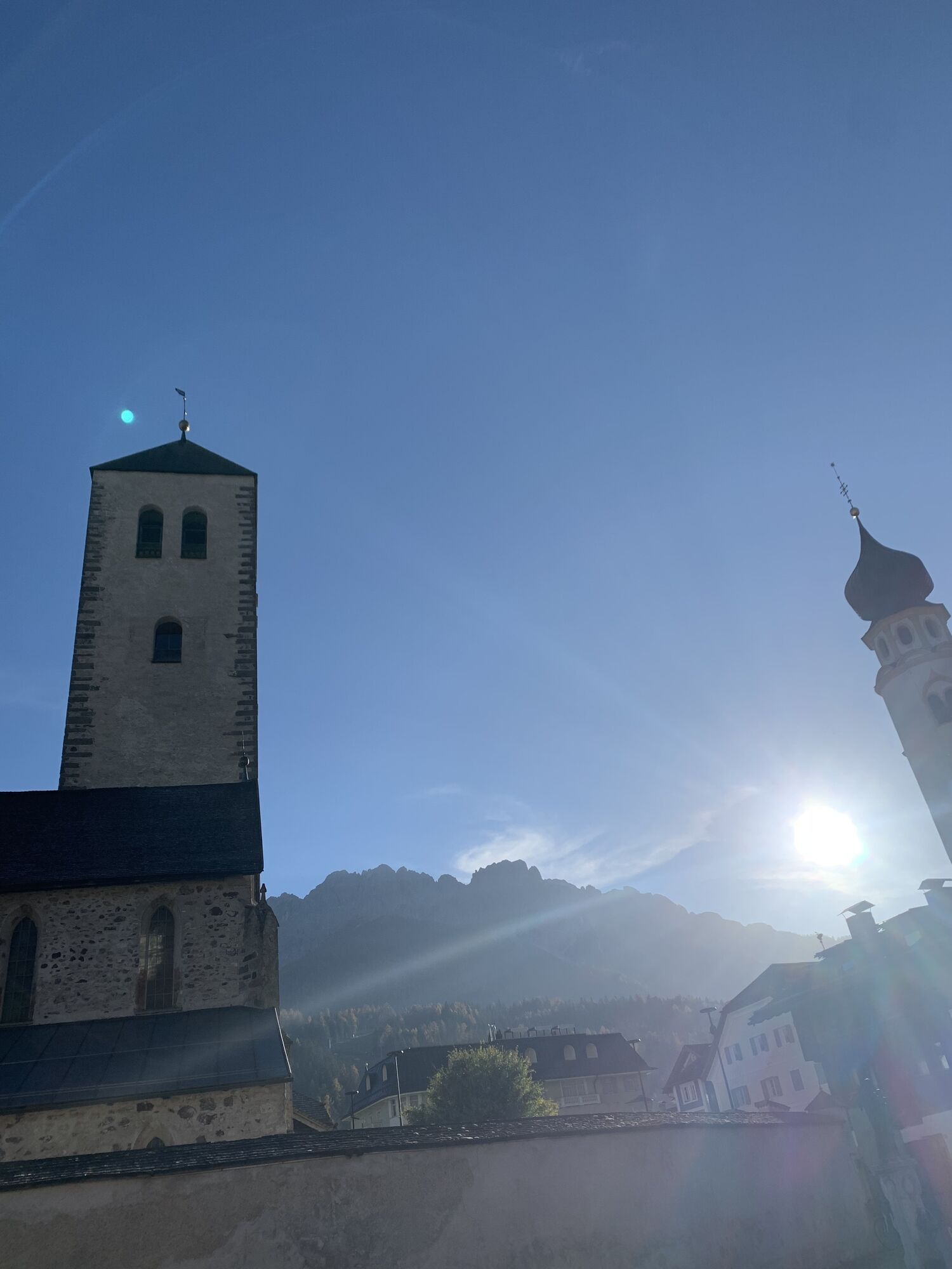
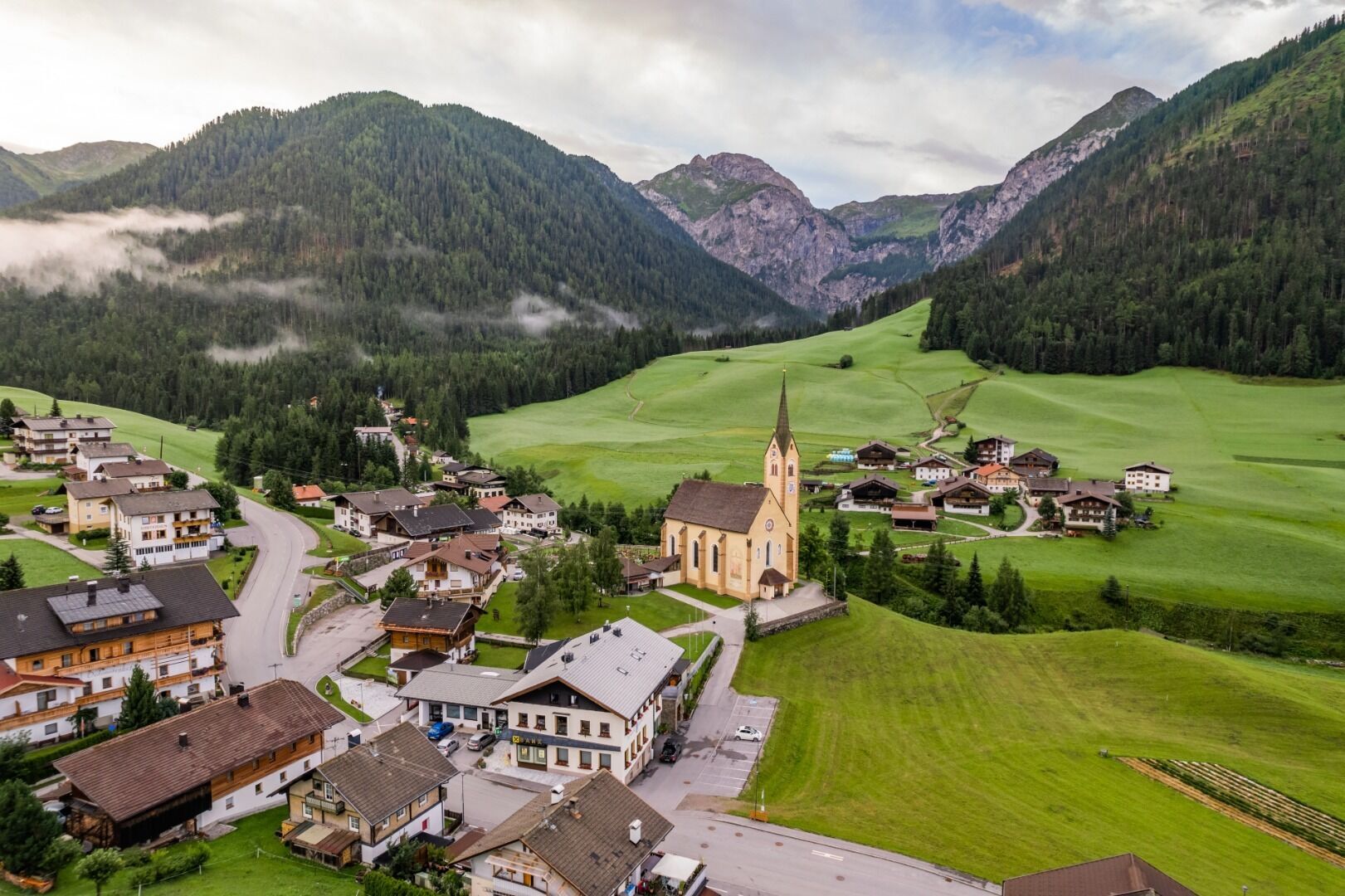
After a rest and a visit to the richly decorated Baroque church, we take paths 14 and 467 down into the Puster Valley to Rabland, and from there we head upstream on the right bank of the Drau, past the butterfly meadow towards Sillian. At the level crossing, we follow the path to the left towards the Wichtelpark and continue straight on to Arnbach. From there, we walk past the church of ‘Zum leidenden Heiland’ to the Drau Cycle Path and take the riverside path on the right to Winnebach. There, we switch to the Herrnsteigl, which takes us to Vierschach. At the station in Vierschach, we take the underpass into the “Vierschacher Zentrum” with its early Gothic church of St. Magdalena. From here, we follow the cycle/valley hiking trail across the fields to Innichen, with the Romanesque tower of the abbey always in view.


Webcams del recorrido
-
Helm-Plateau
-
Sexten Waldheim
-
Sillianberg
-
Innichen - Il Tyrol****s
-
Bergstation Gondelbahn Sillian
-
Bergstation Ausservillgraten
-
Sillian
-
Hollbruck
-
Bergstation 6er-Sesselbahn
-
Helm-Plateau
-
Helm-Plateau
-
Burg Heinfels
-
Bergstation Haunold
-
Apparthotel Germania – Blick auf das Höhlensteintal
-
Kartitsch / Monte
-
Neu-Toblach
-
Talstation Porzen
-
Talstation Porzen
-
Talstation Porzen
-
Heinfels
-
Romantik Hotel Santer****
-
Bergstation Hasenköpfl
Infórmate
Siempre en directo con más de 9.500 webcams. bergfex Como usuario Pro, ahora puede ver las webcams correspondientes a muchos tours en la app de tours desde. Esto le permite ver las condiciones actuales directamente.
Actividades a lo largo del recorrido


Rutas populares en los alrededores
-
4,9
Drei Zinnen
medioSenderismo 19,6 km -
4,9
#31: Paternkofel von Auronzohütte, und Schartenweg, B/C
pesadoVía ferrata 15,7 km -
4,8
Rundtour Drei Zinnen | Sextner Dolomiten | Wandern Südtirol
medioSenderismo 10,1 km -
4,8
Fischleintal zu den 3 Zinnen Hütte mit Besteigung des Sextner Steins
medioSenderismo 16,2 km -
4,8
Rotwandwiesen kreuzbergpass rundweg
medioSenderismo 12,0 km -
4,5
Kartitsch-Obstansersee Hütte
medioSenderismo 13,1 km -
4,8
Seerunde
luzSenderismo 2,66 km -
4,8
Rundweg um die drei Zinnen
luzSenderismo 7 km -
4,7
Von Kalkstein auf das Toblacher Pfannhorn (2.663 m) und Marchkinkele
medioSenderismo 14,2 km -
4,9
Durch das Rienztal zu den drei Zinnen
luzSenderismo 11,8 km
Senderismo y rastreo


No se pierda las ofertas y la inspiración para sus próximas vacaciones
Su dirección de correo electrónico se ha añadido a la lista de correo.





