






Rundwanderung Parditsboden - Spitzköfele - Bärenbadegg - Porzehütte - Parditsboden-
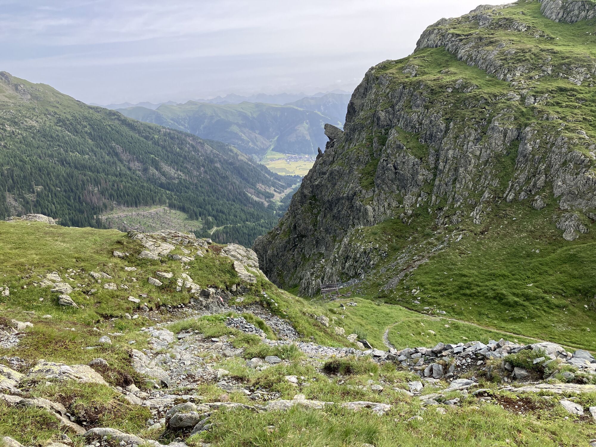
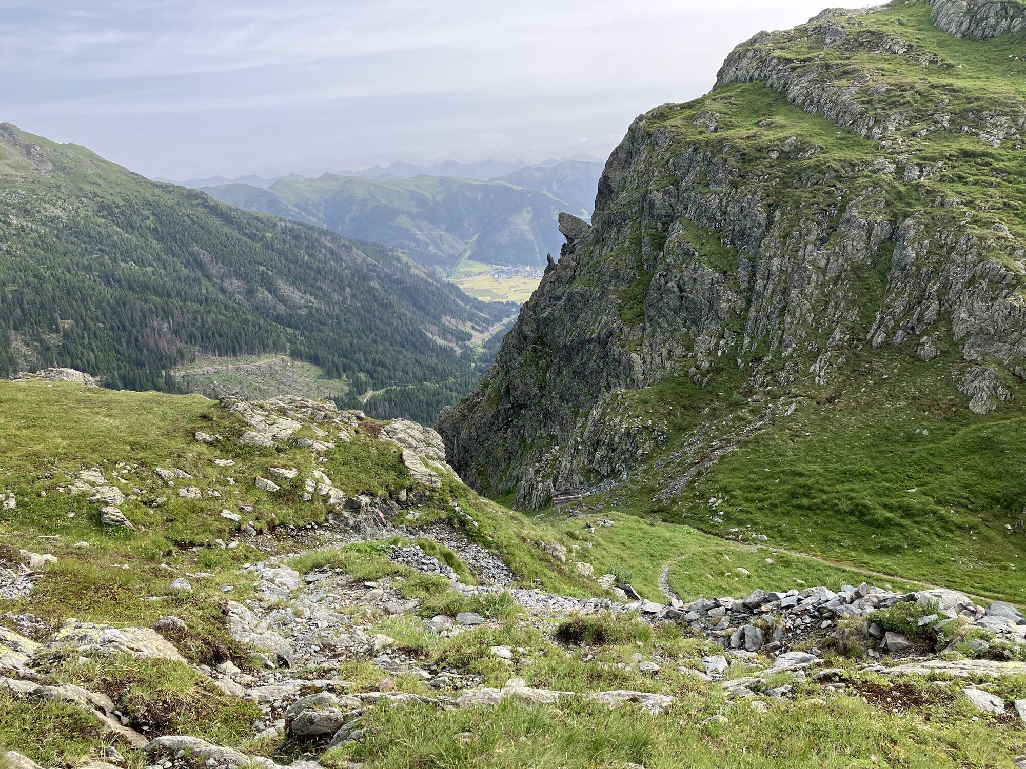
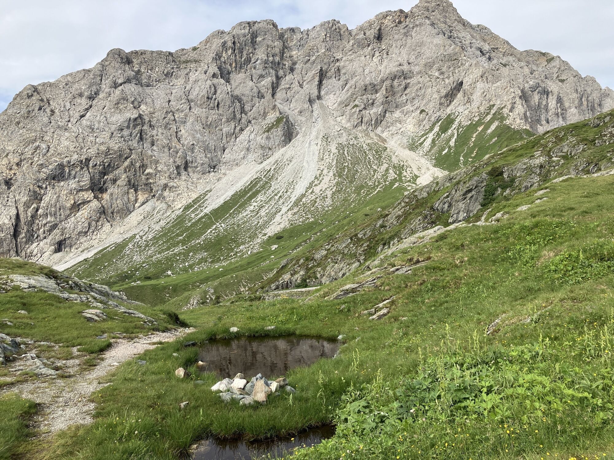
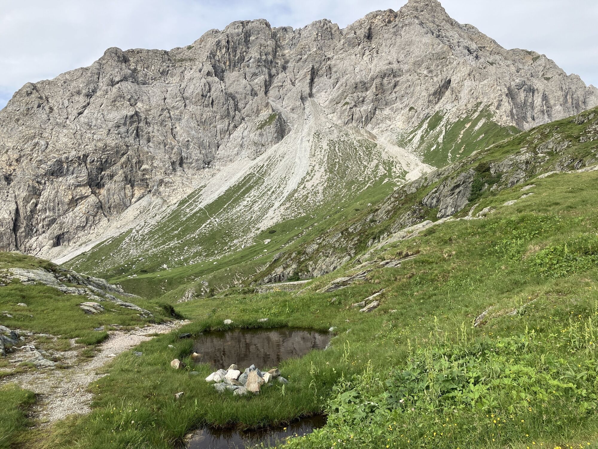
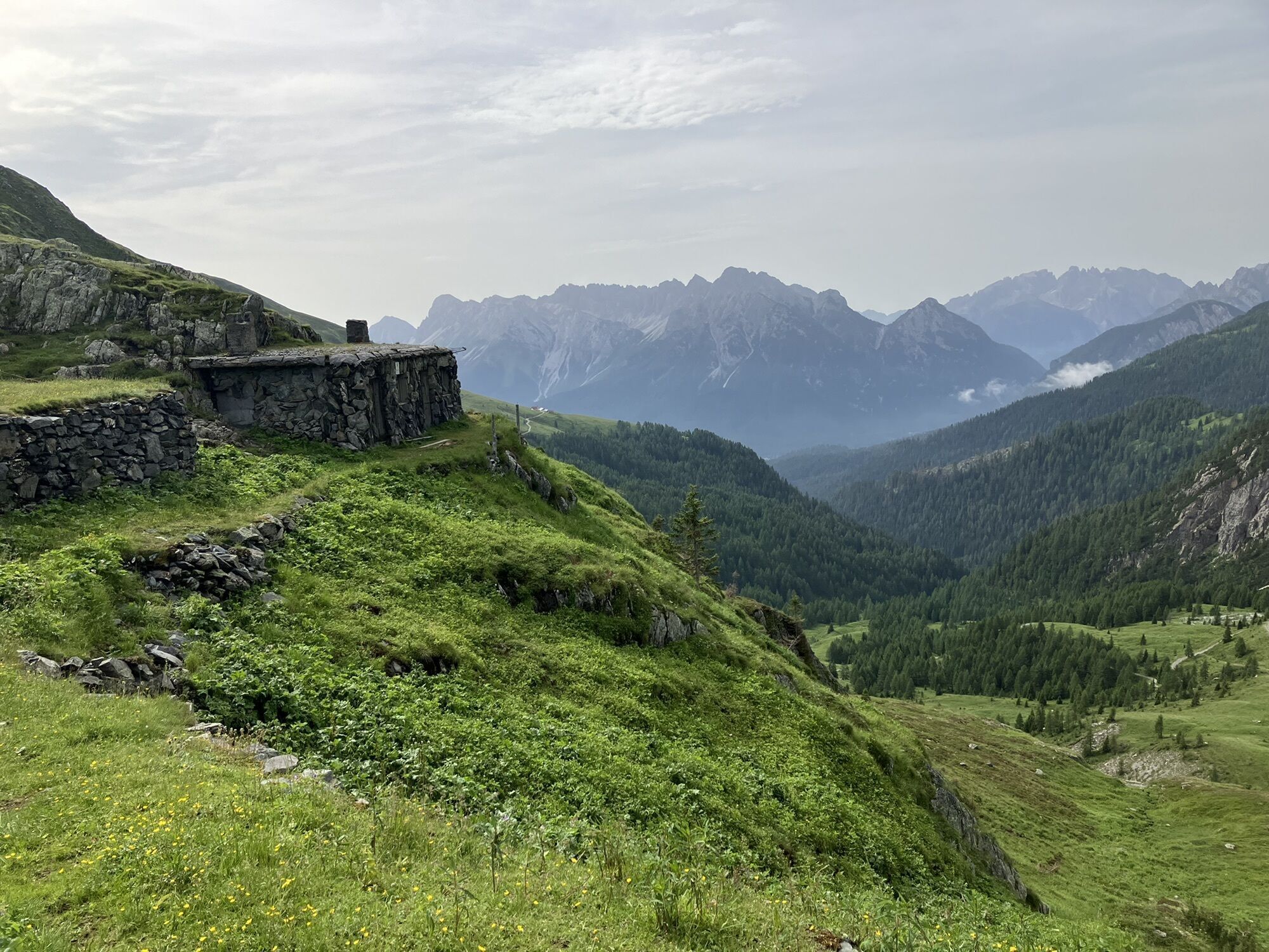
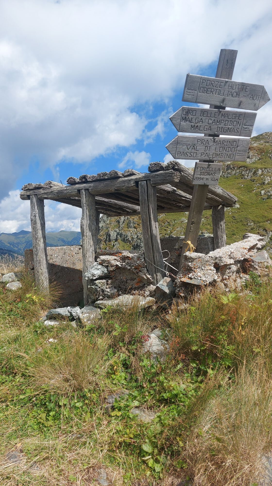
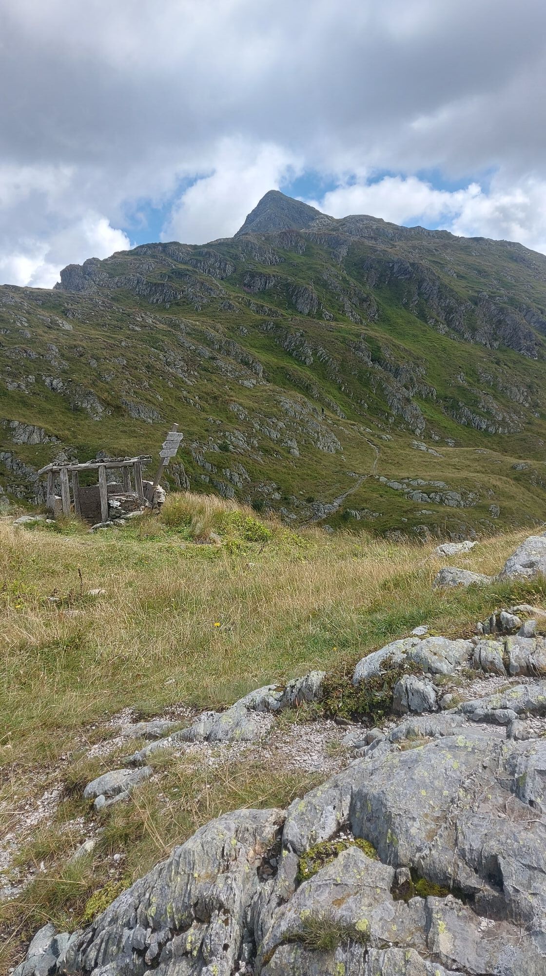
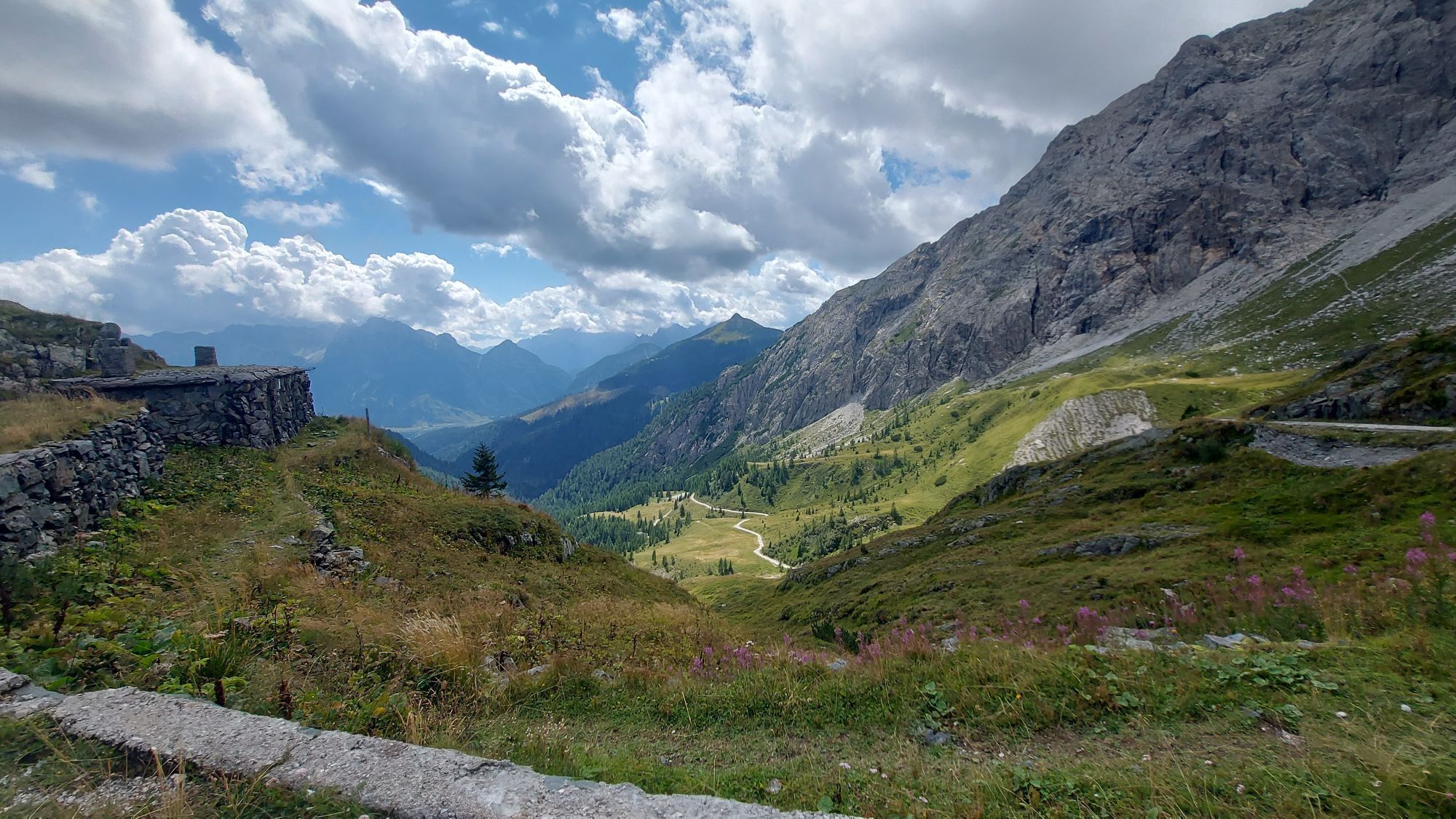
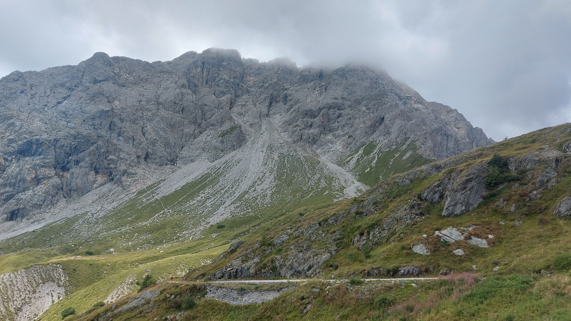
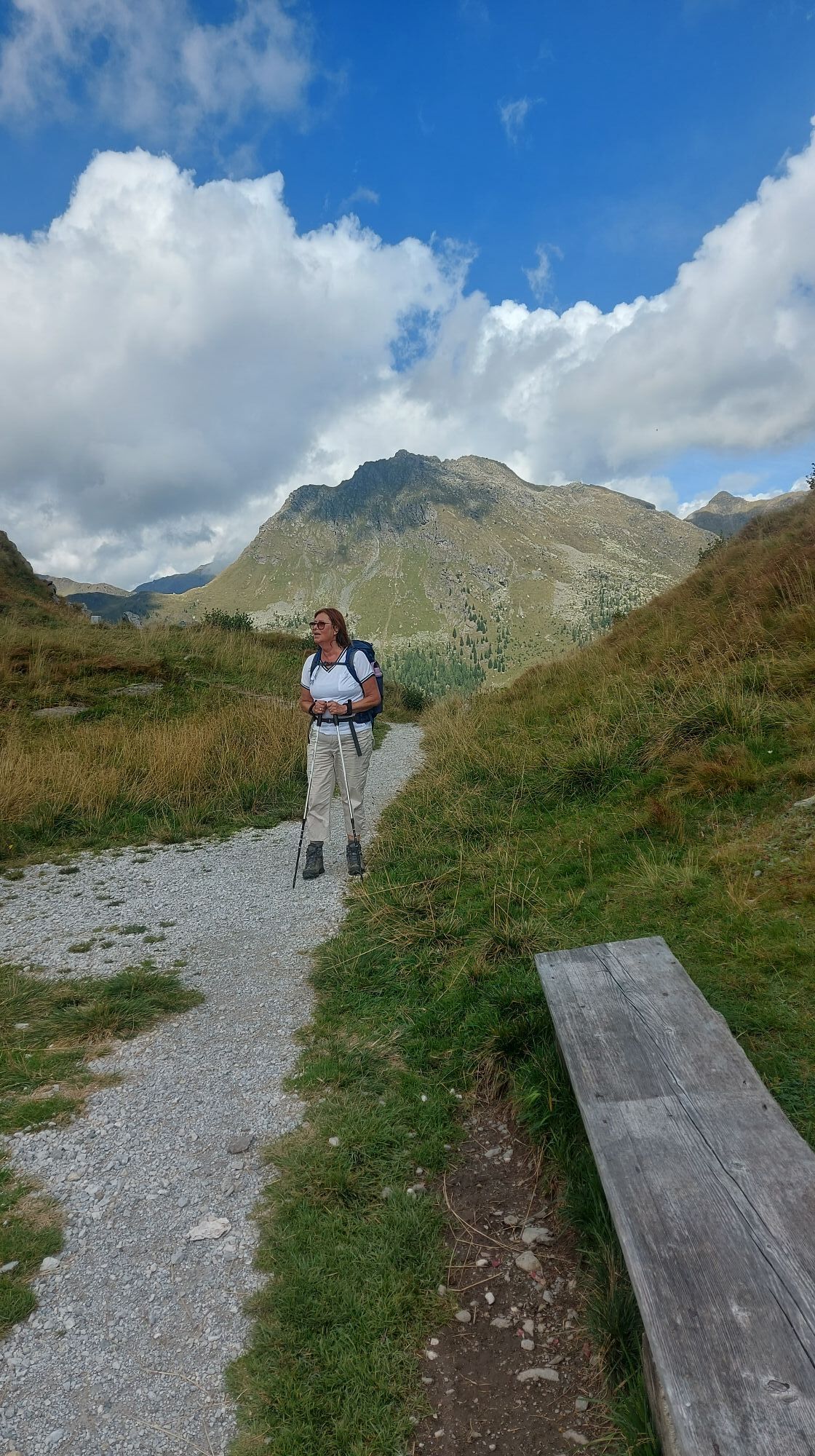
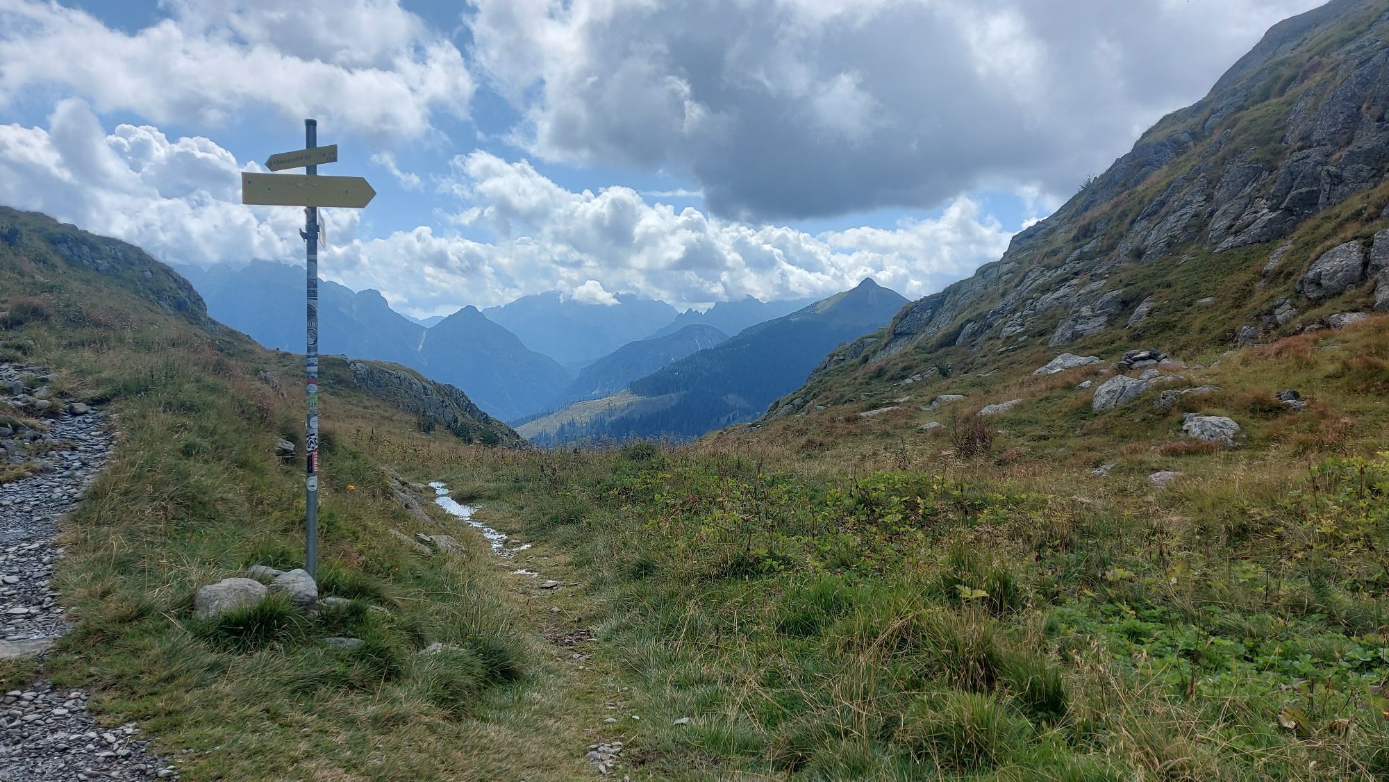
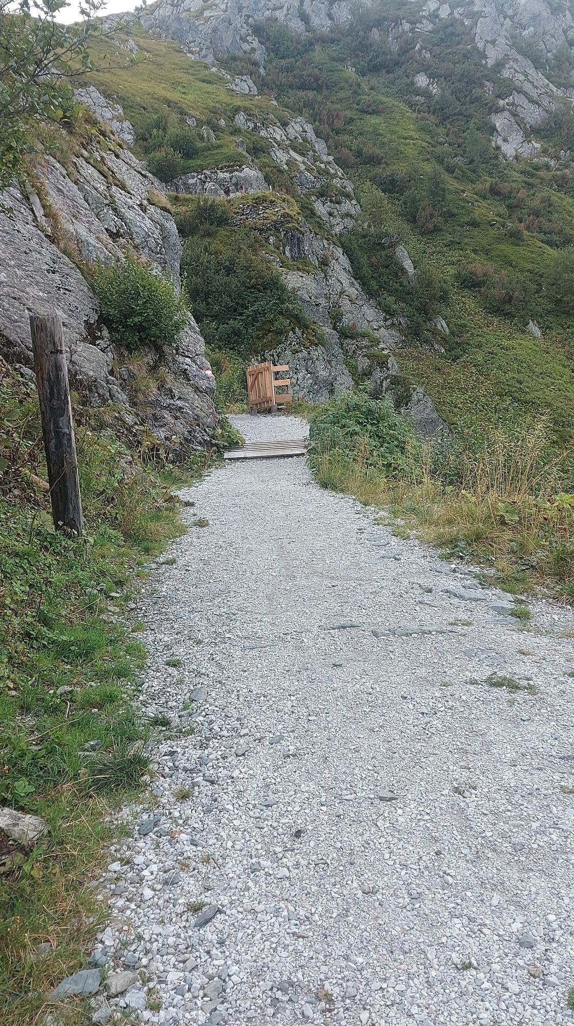
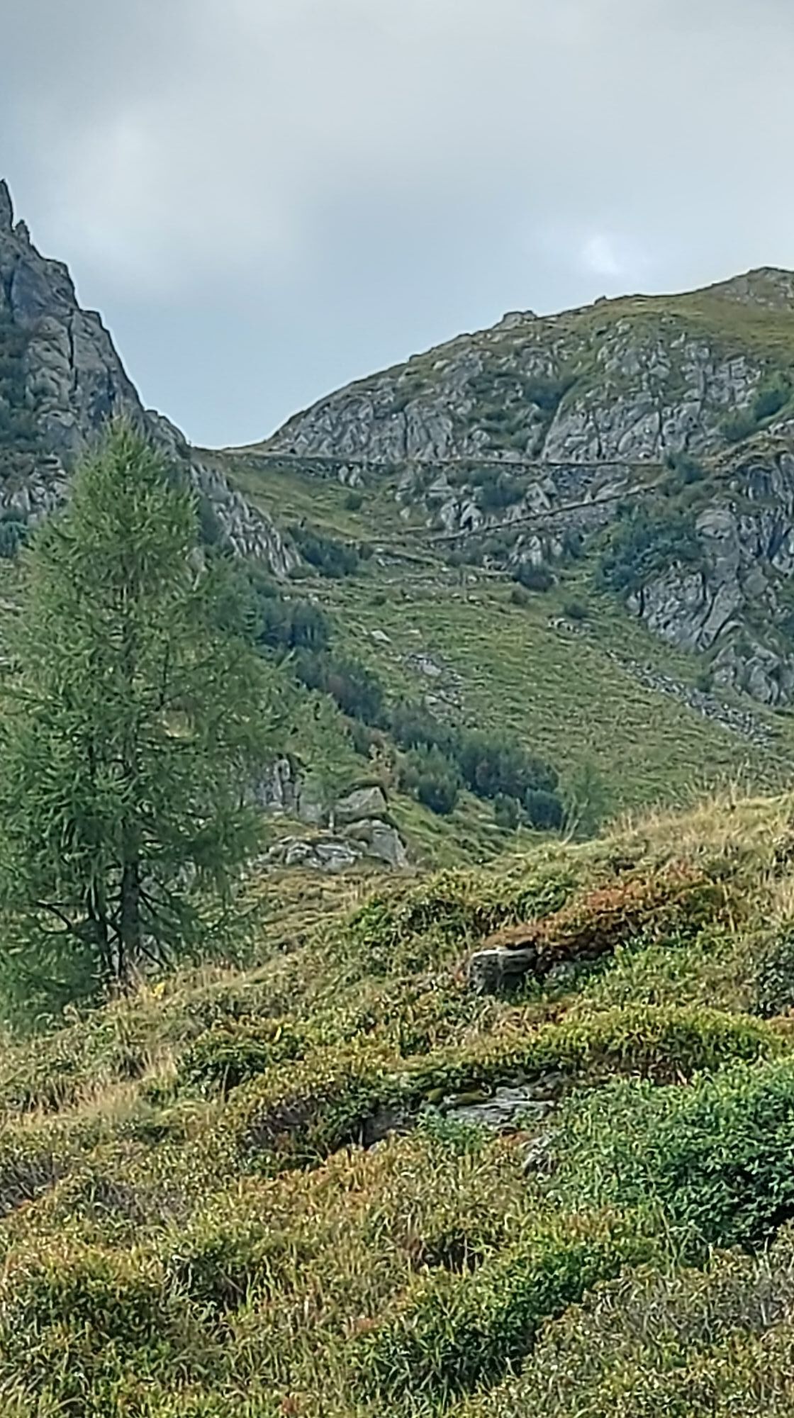
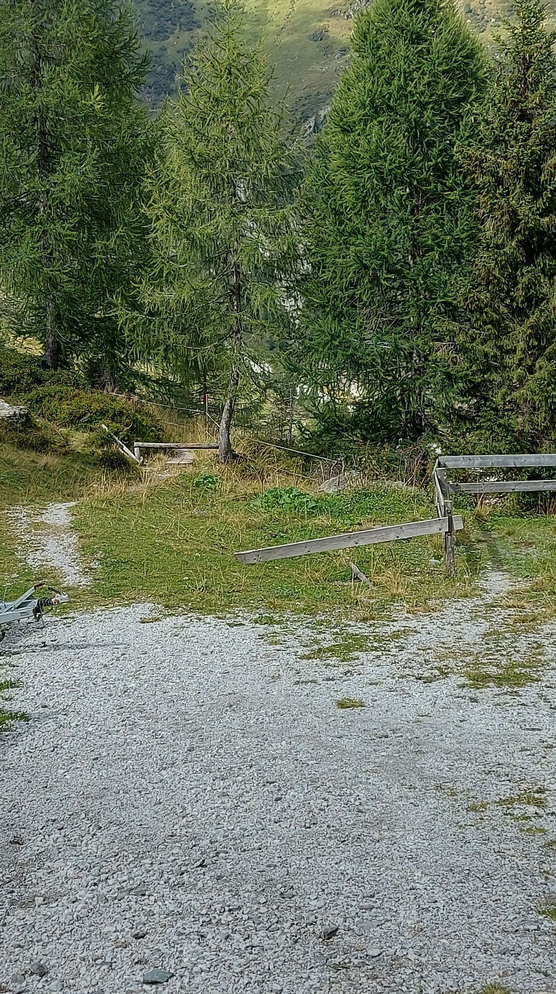
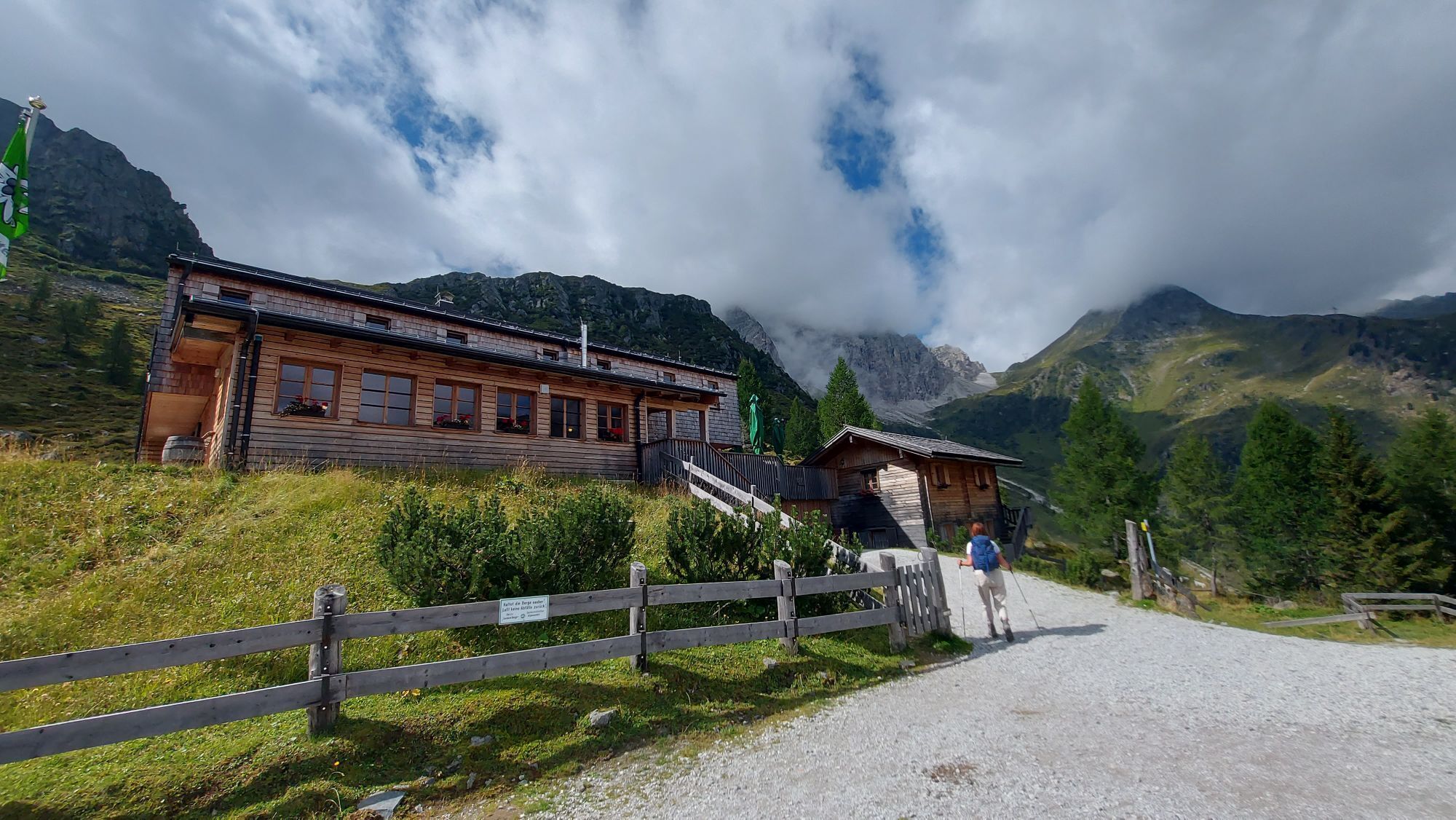
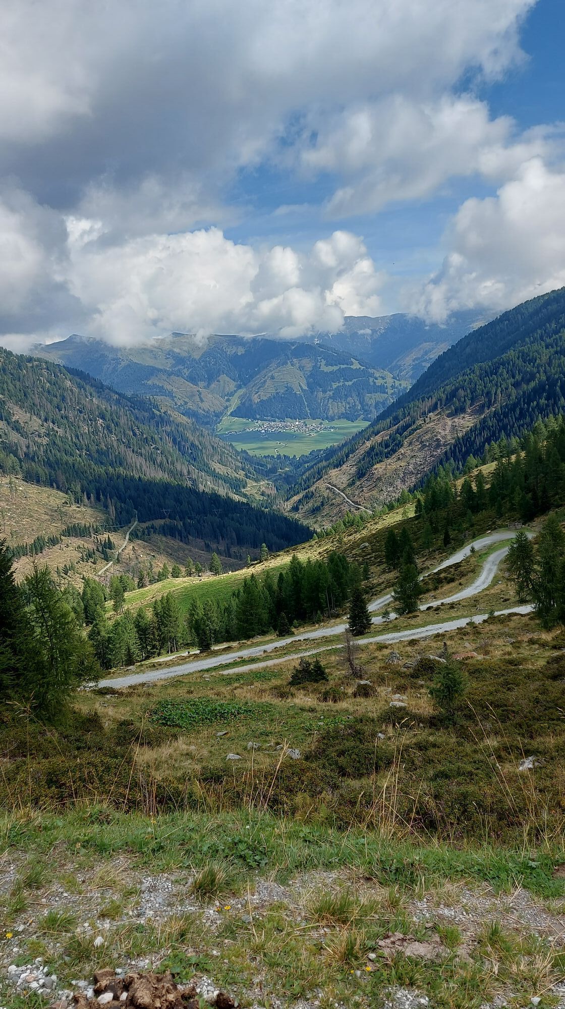
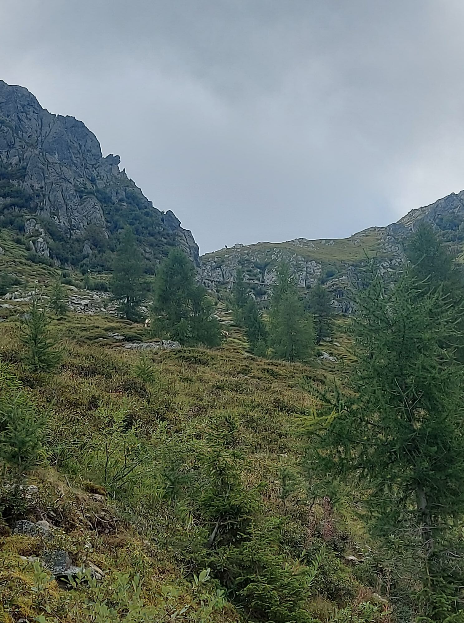
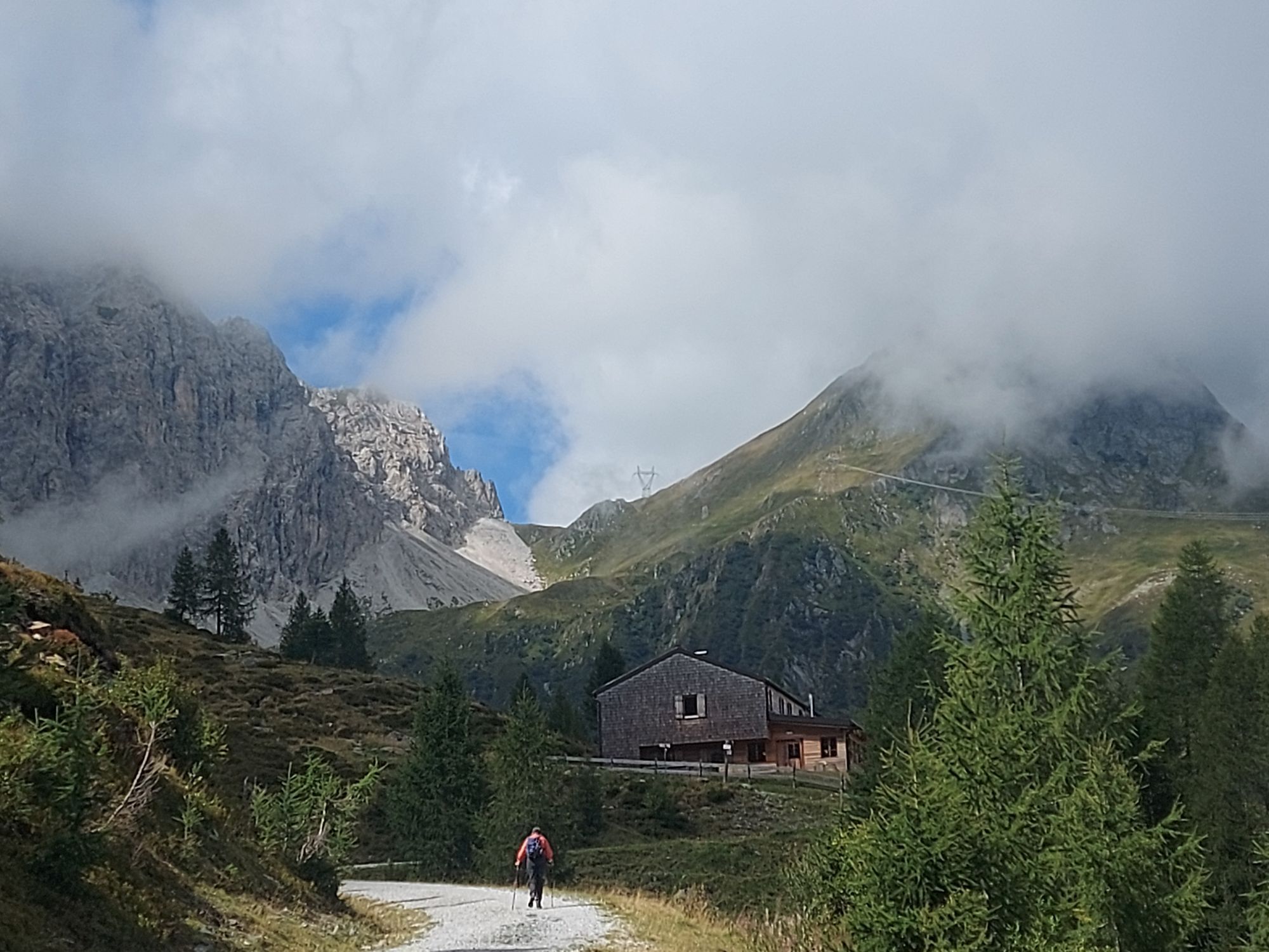
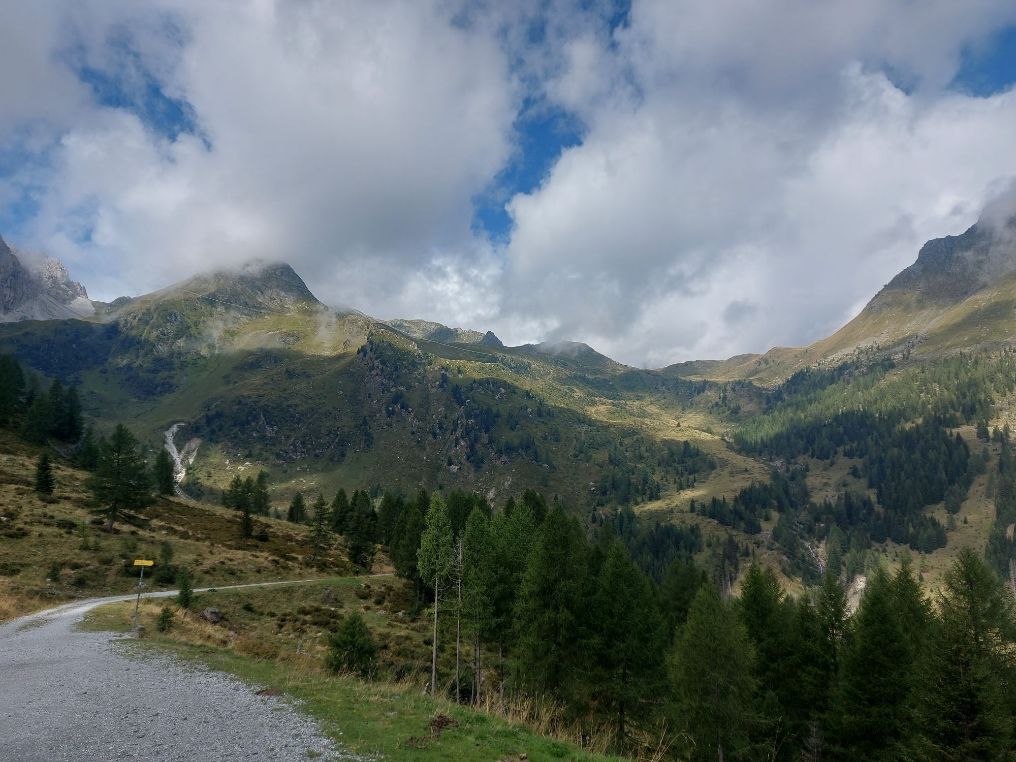
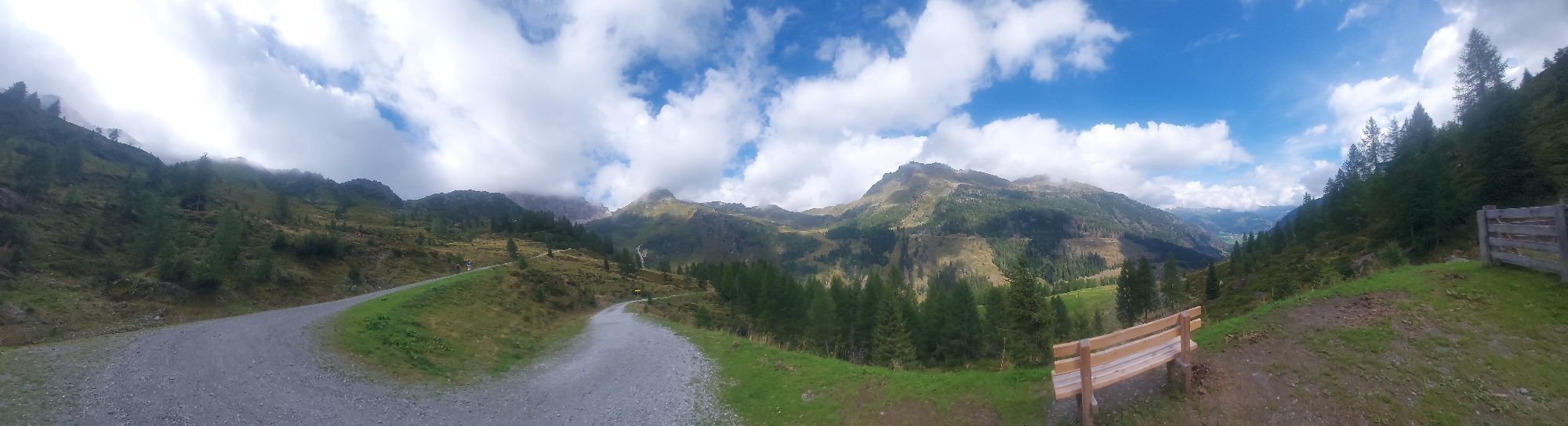
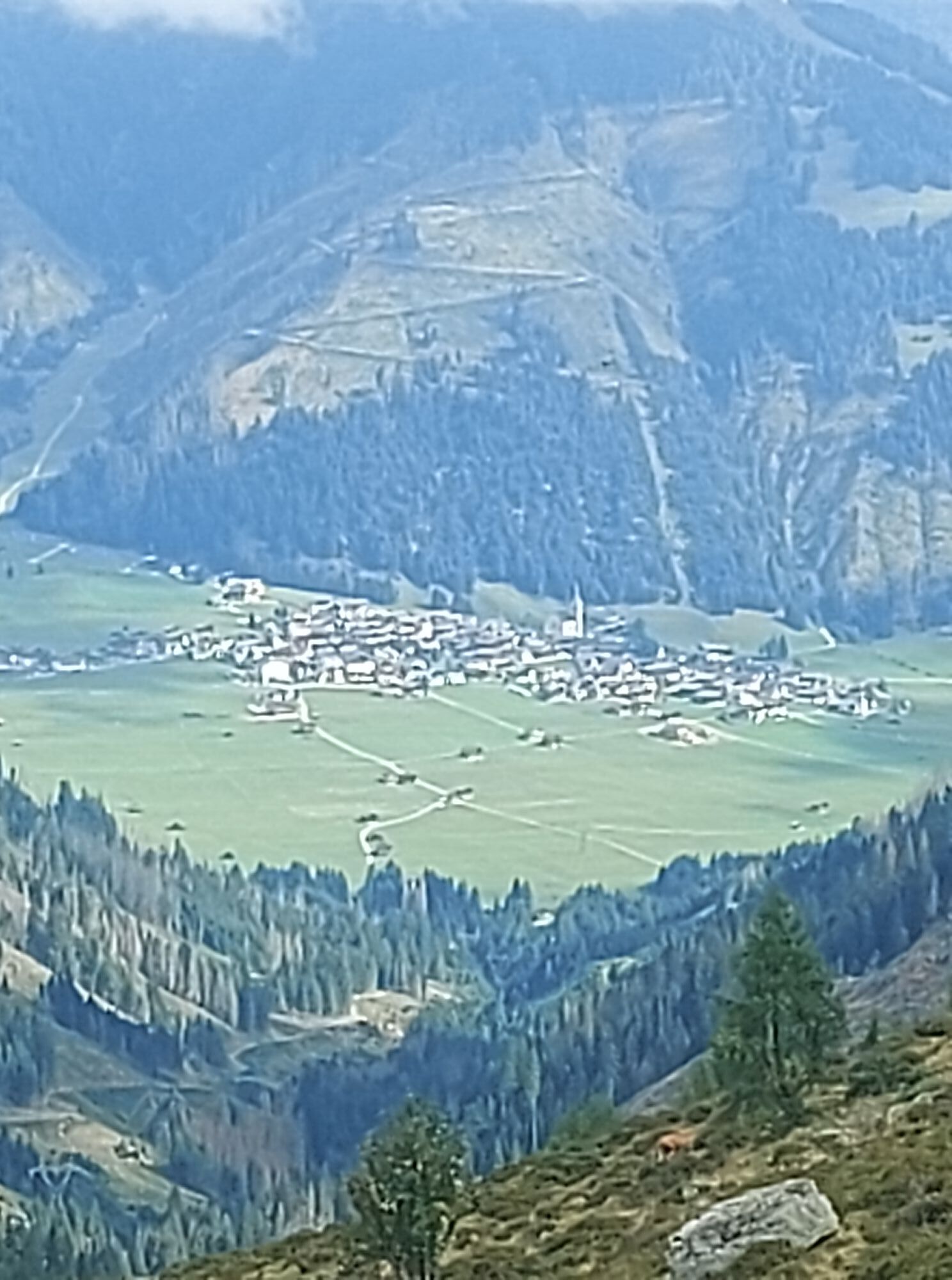
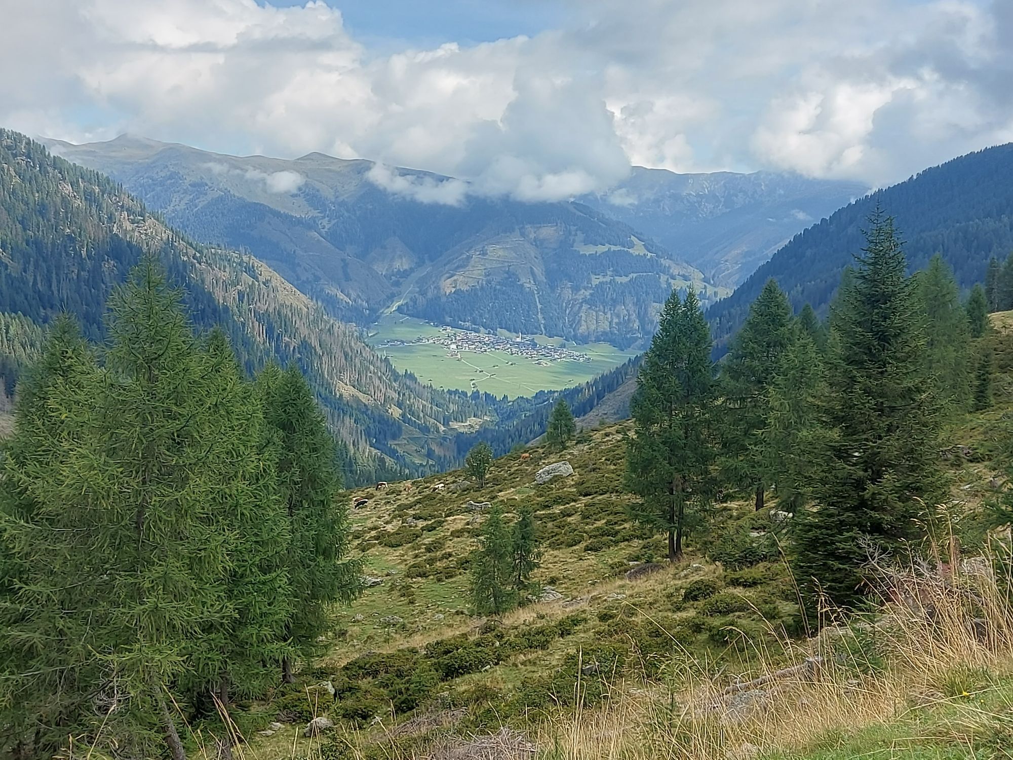
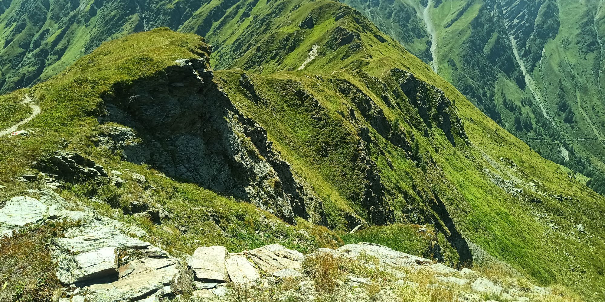
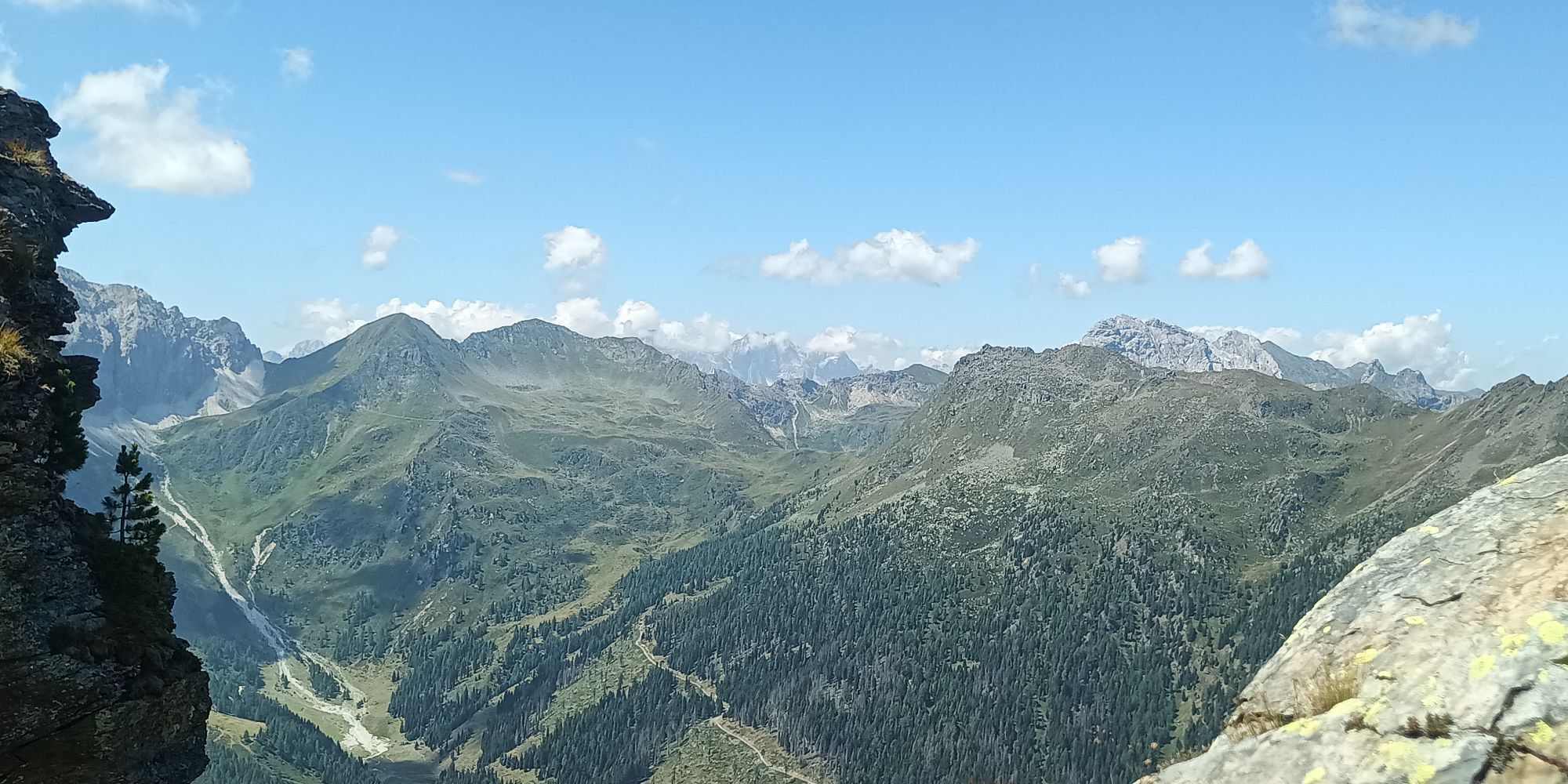
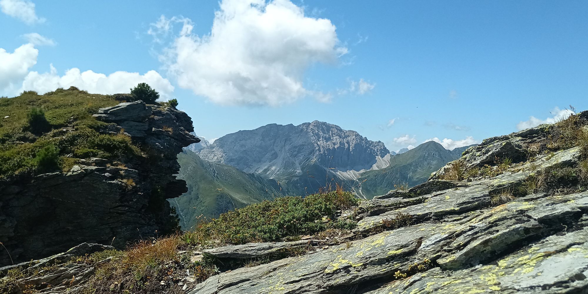
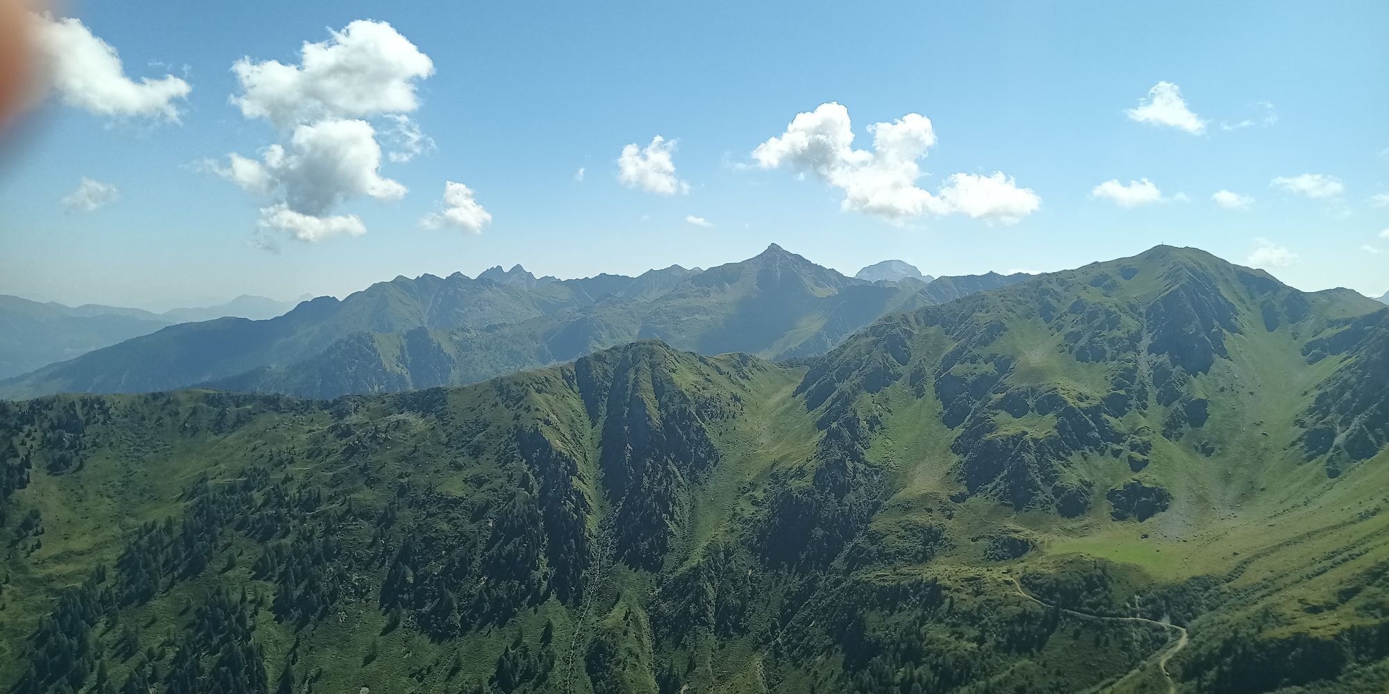
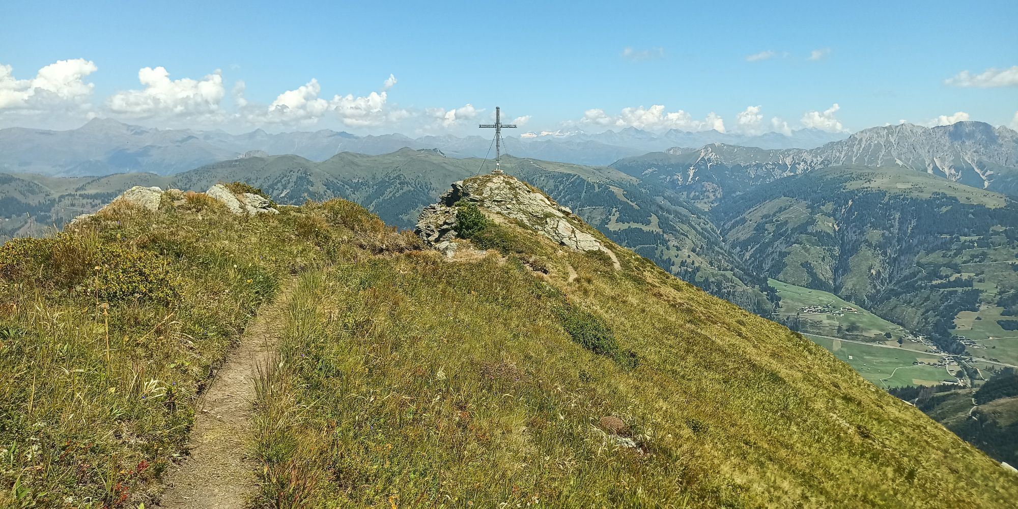
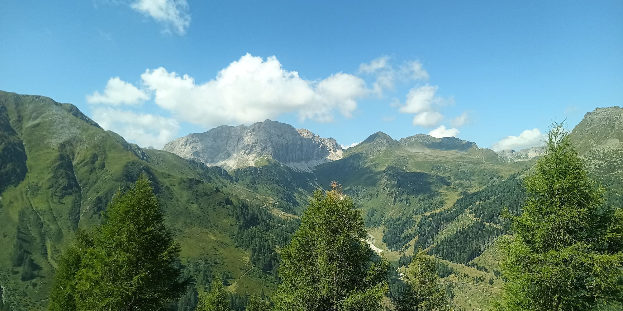
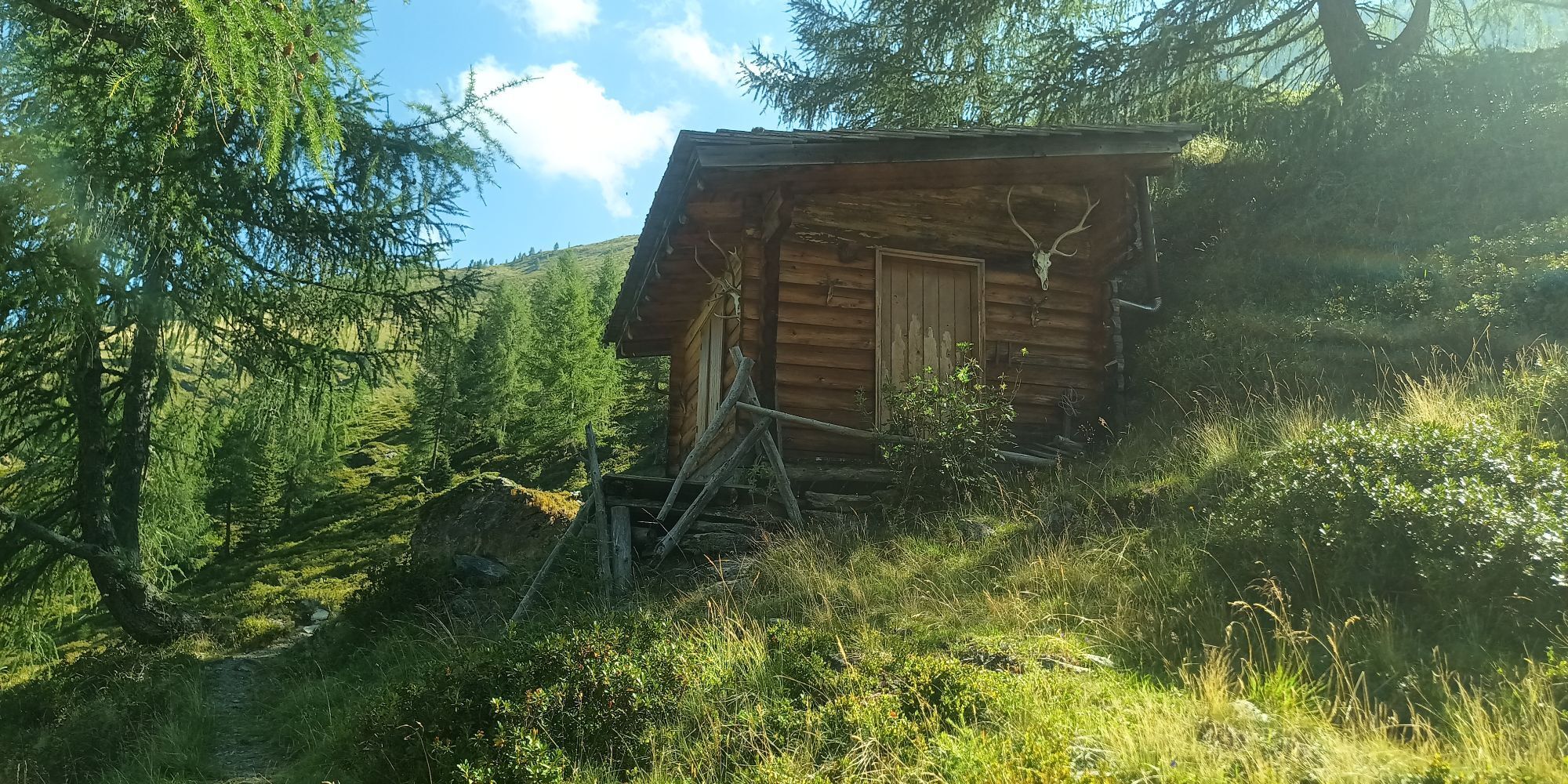
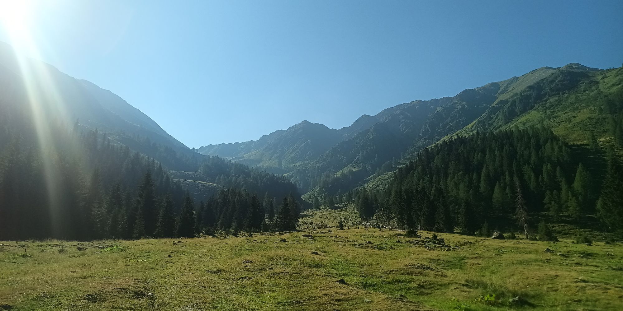
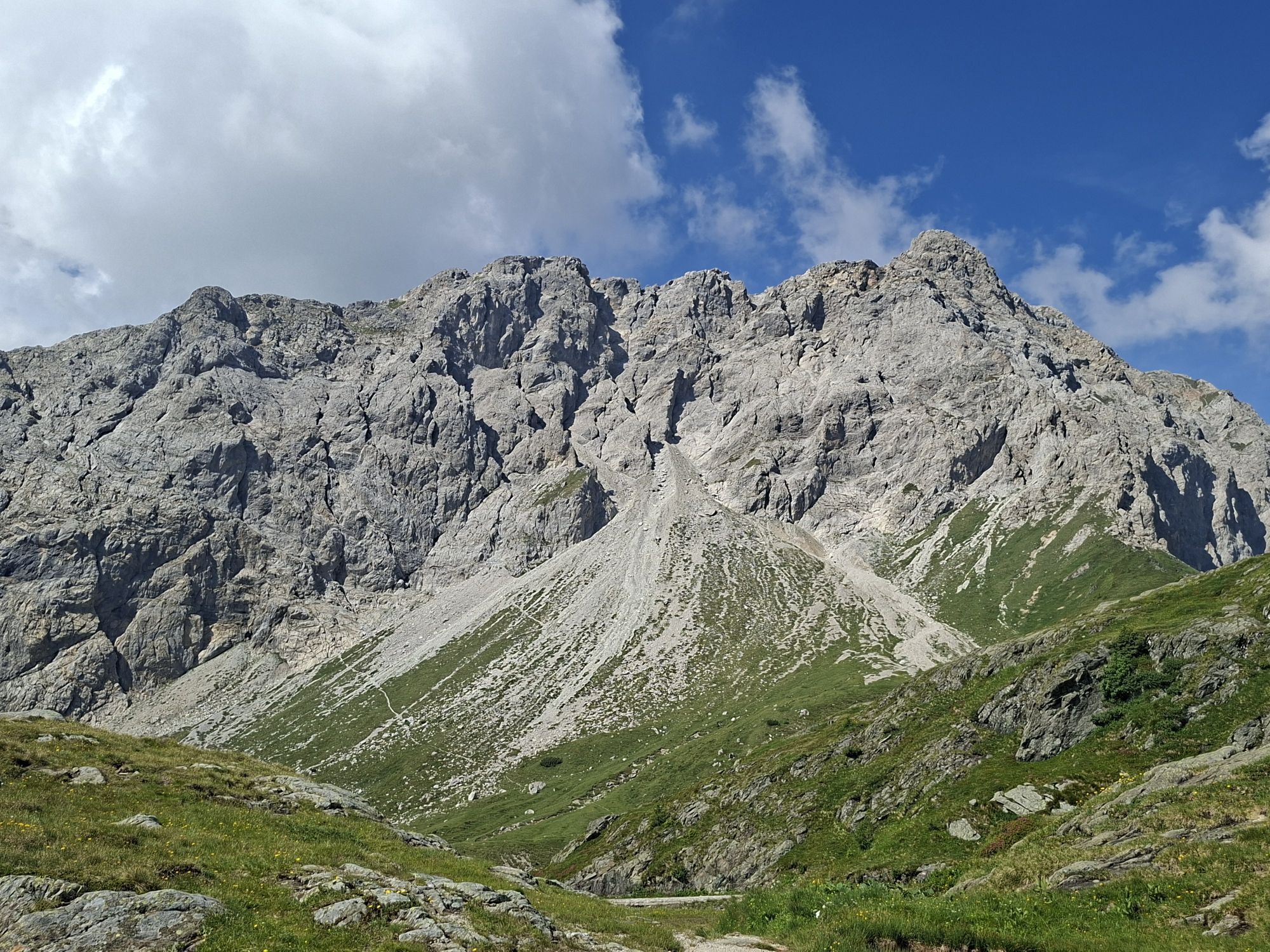
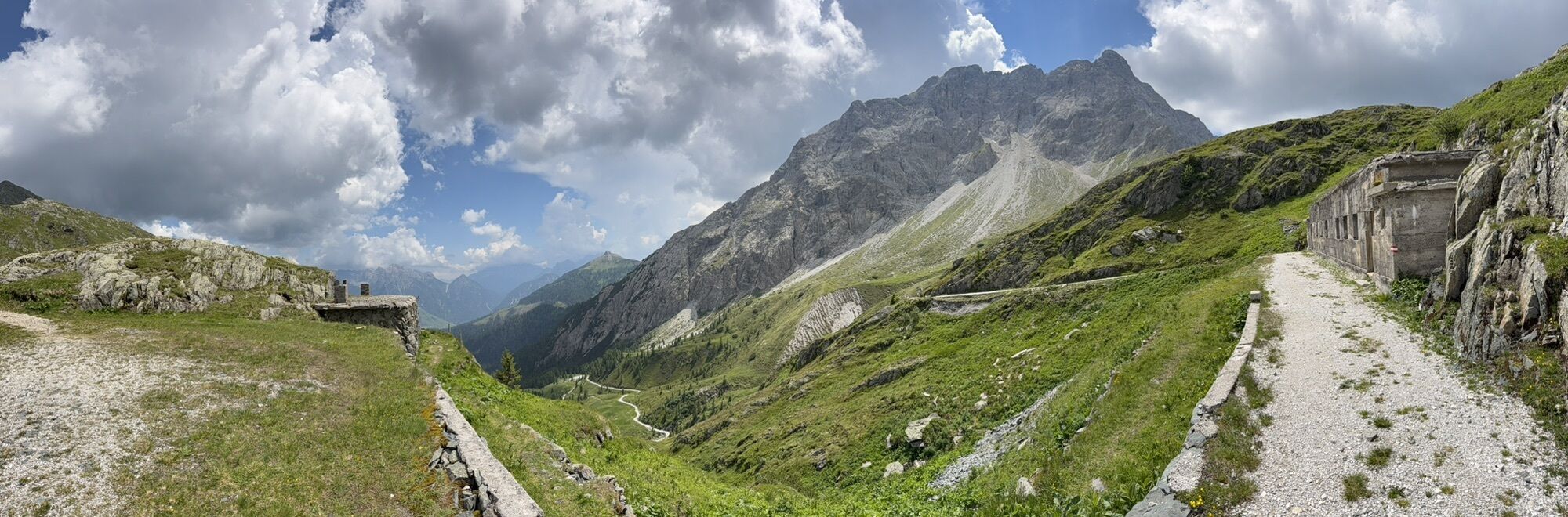
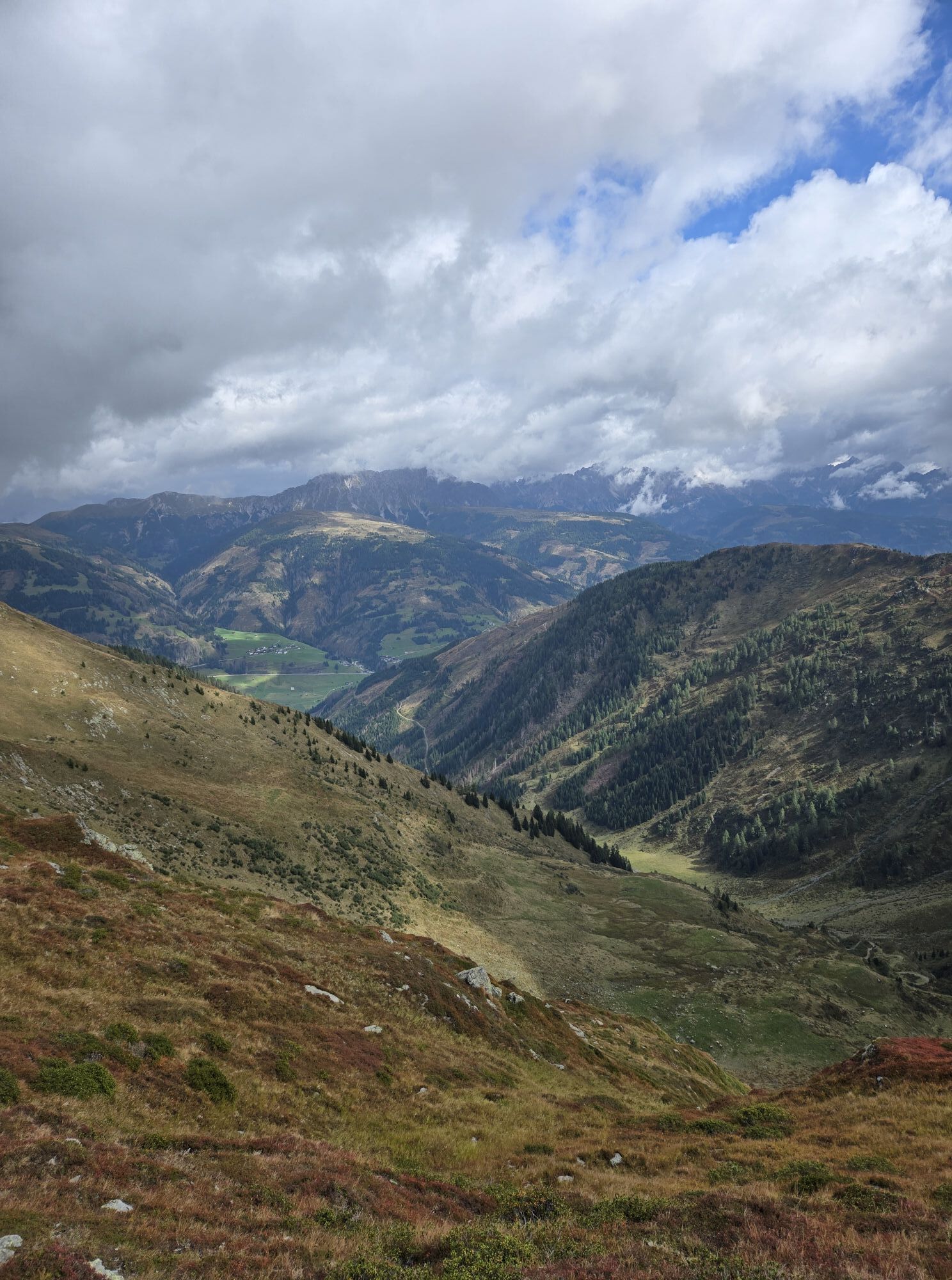
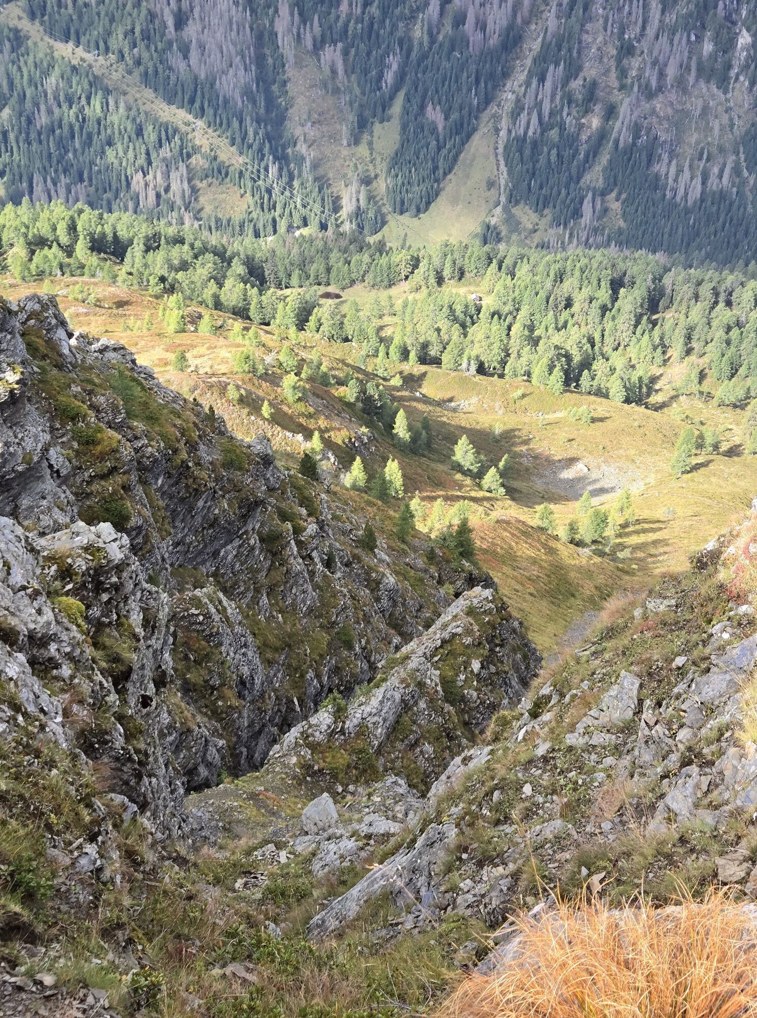

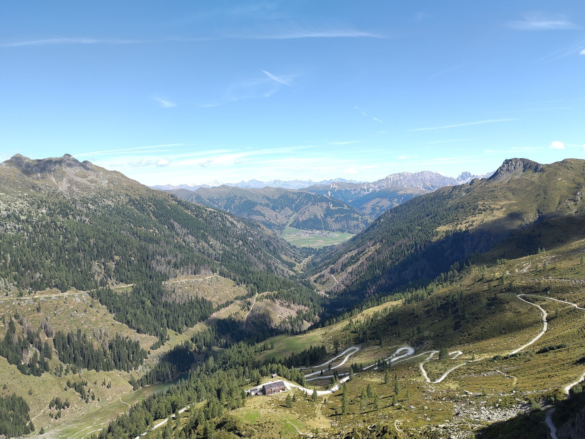
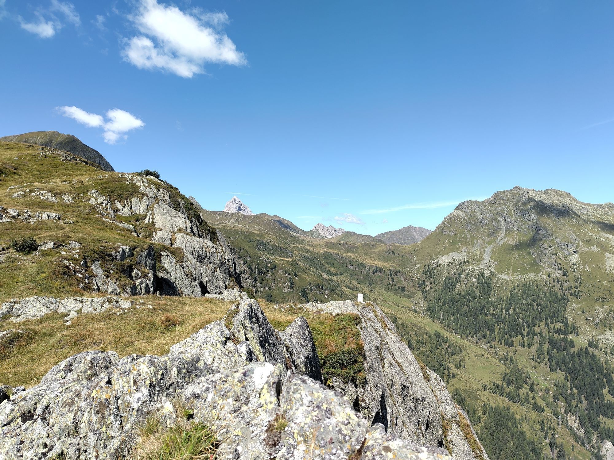
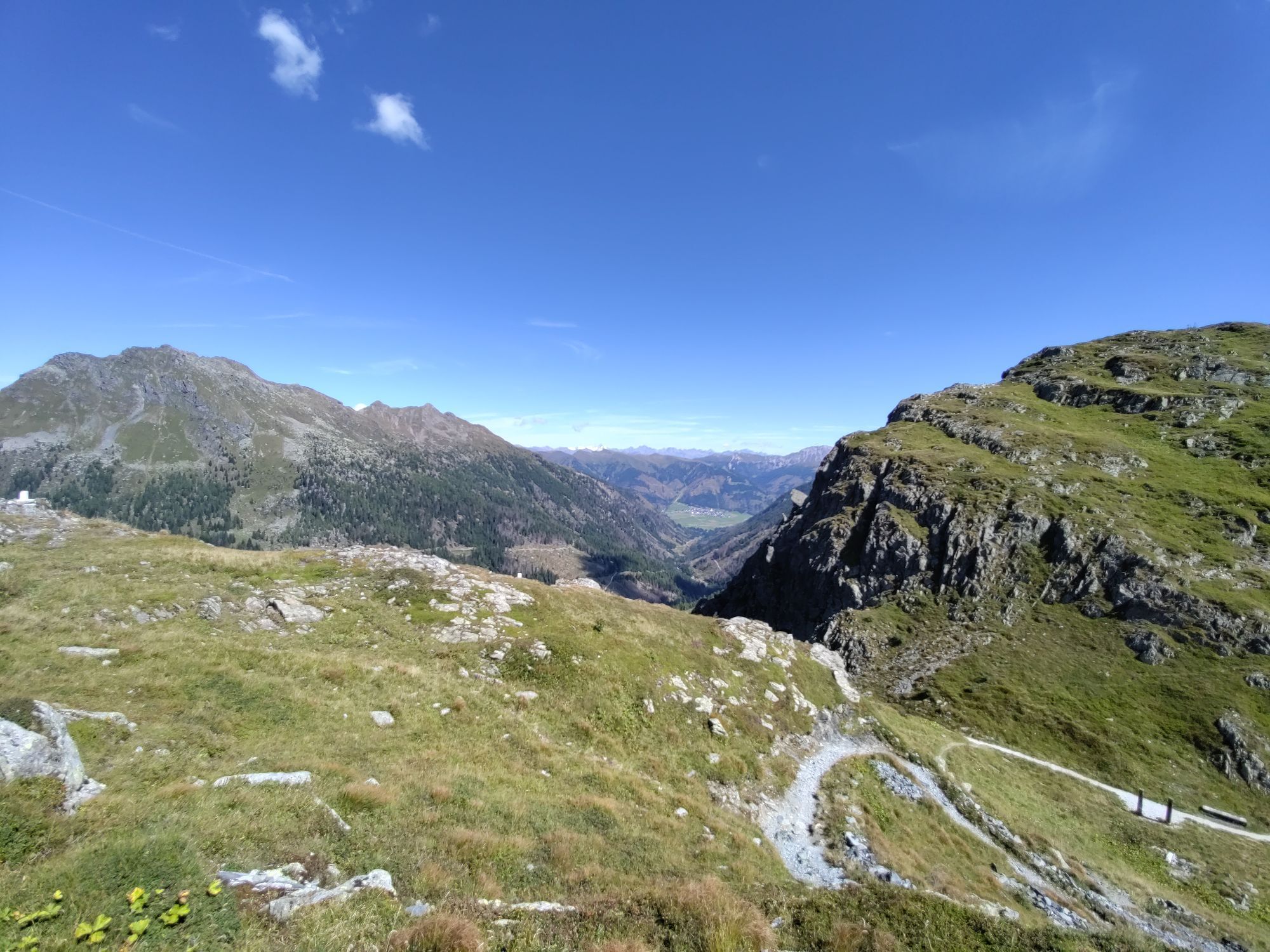
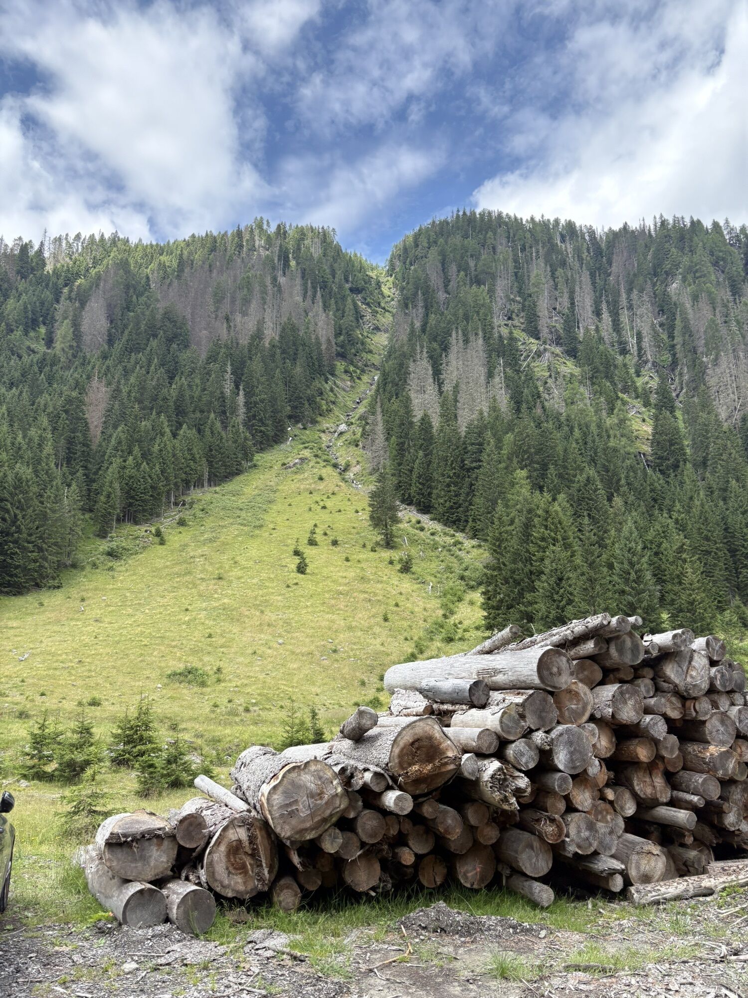
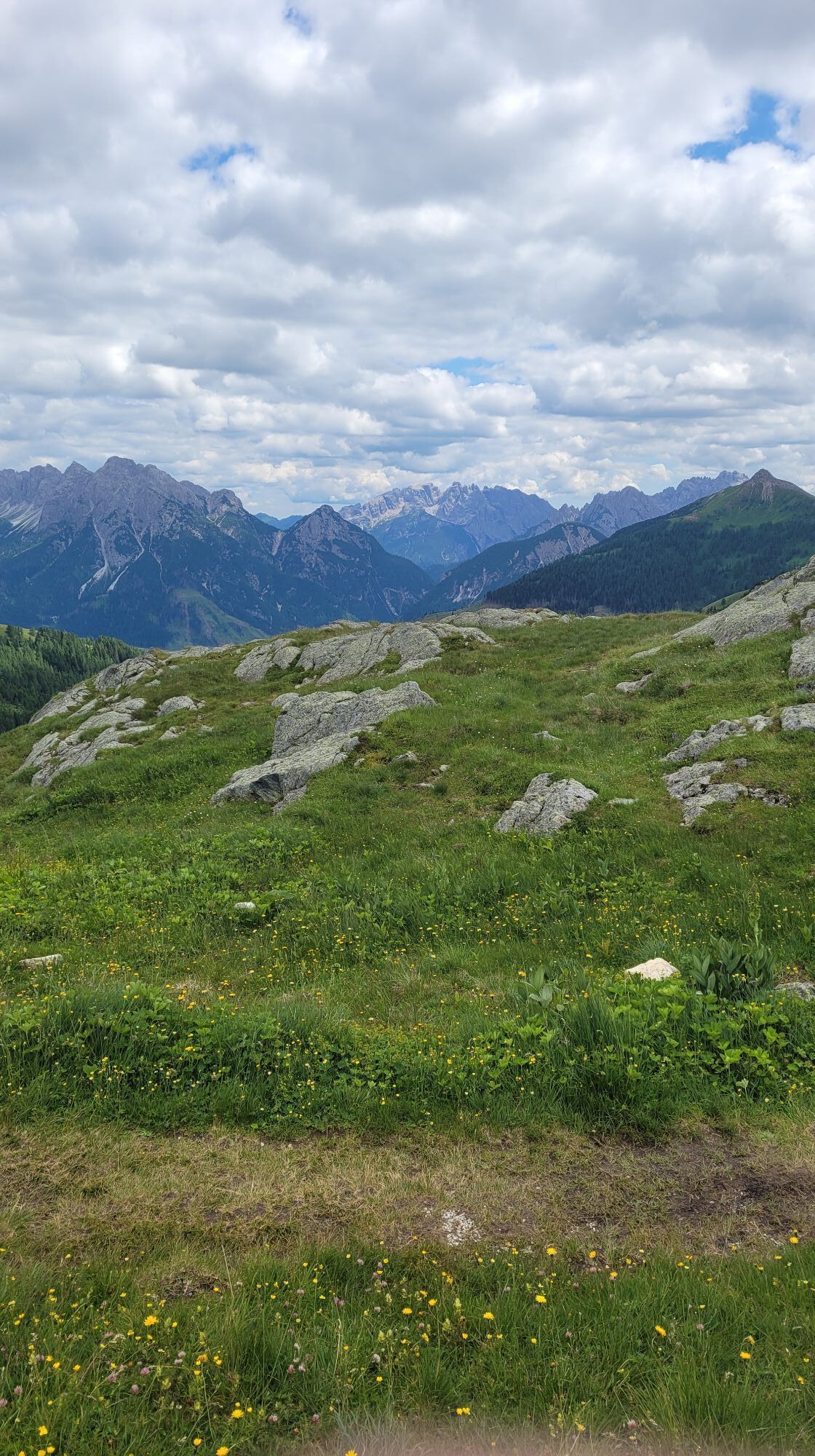
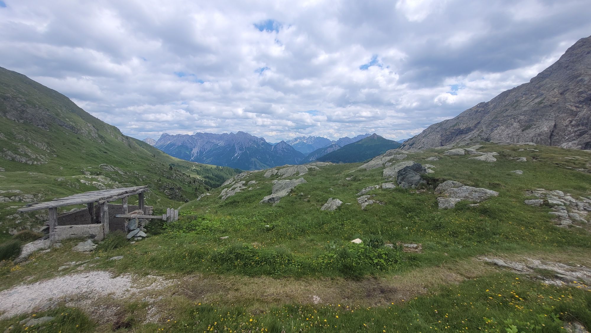
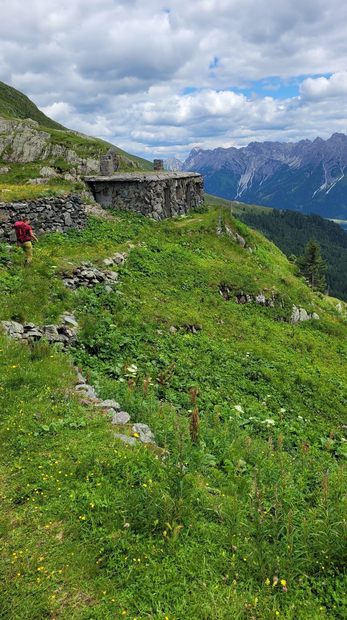
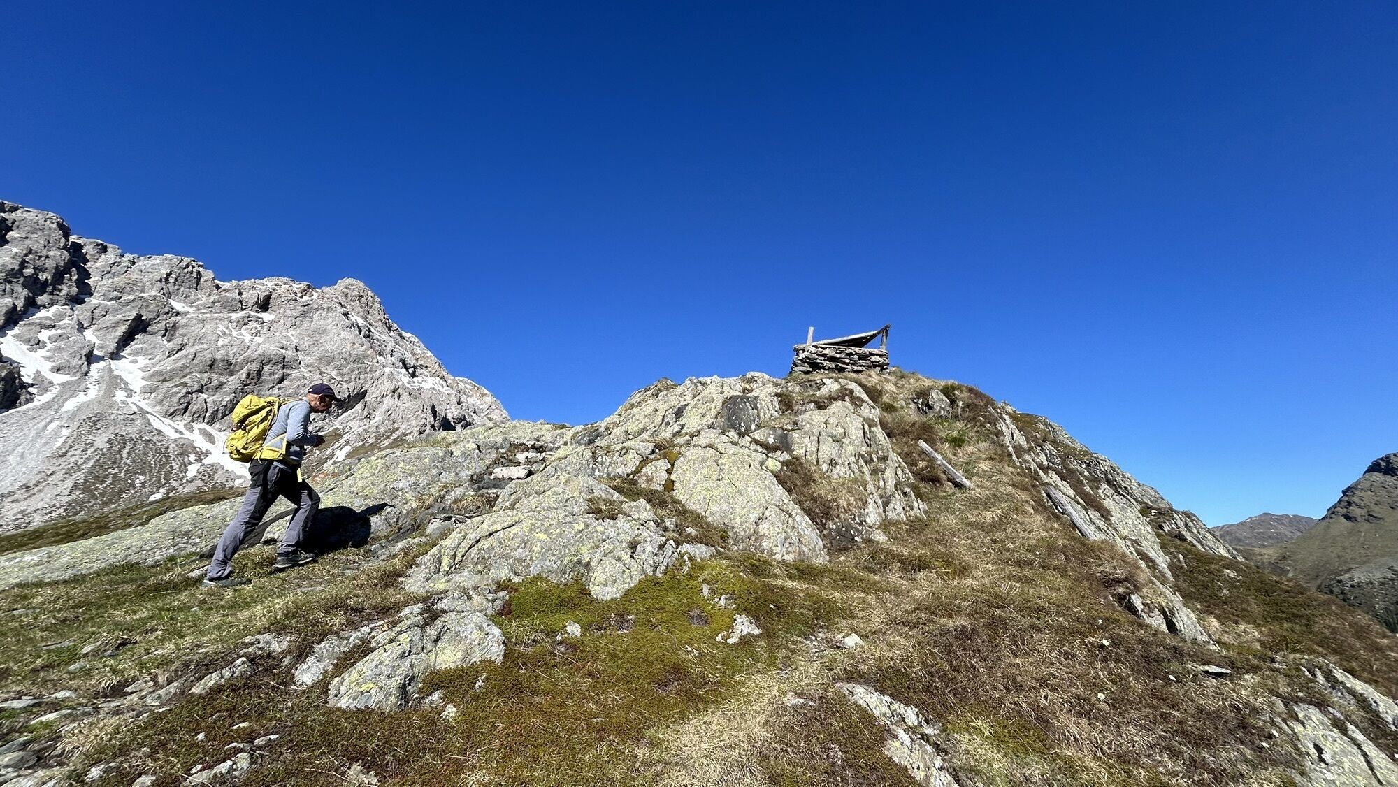
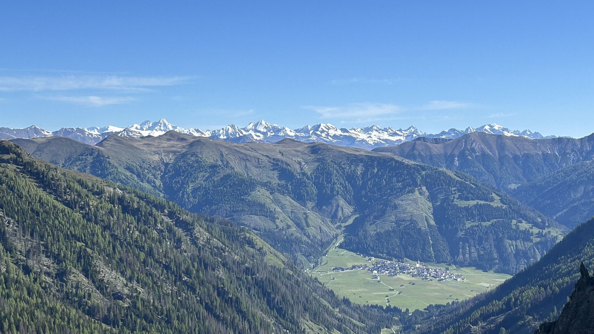
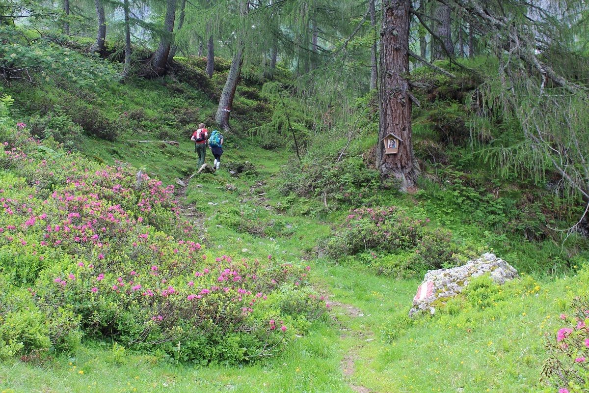
We are heading off for our tour in front of a small bridge at "Pfaffenboden", where we follow the path number 119 until we reach "Parditsboden". There we have to take the left leading us to the crest....
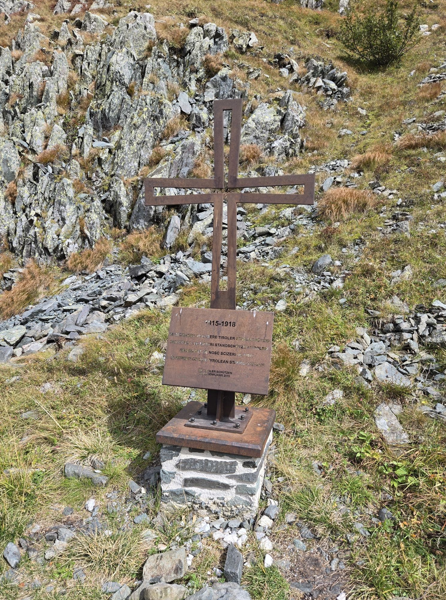
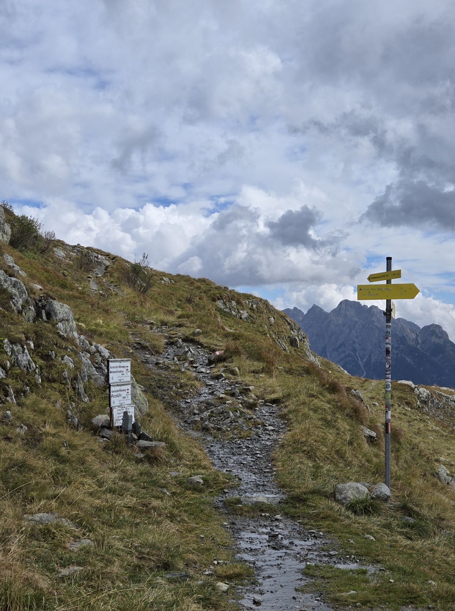
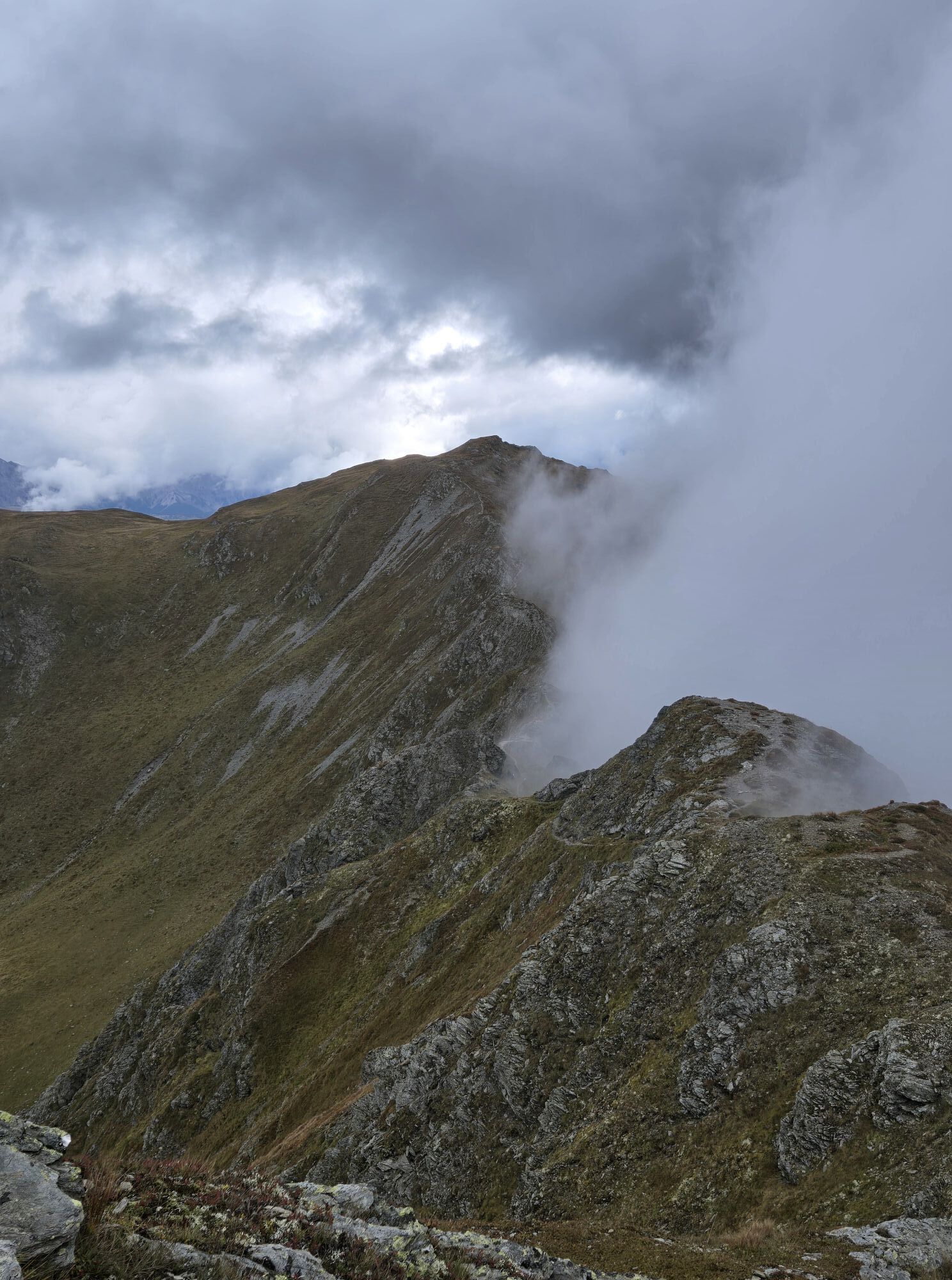
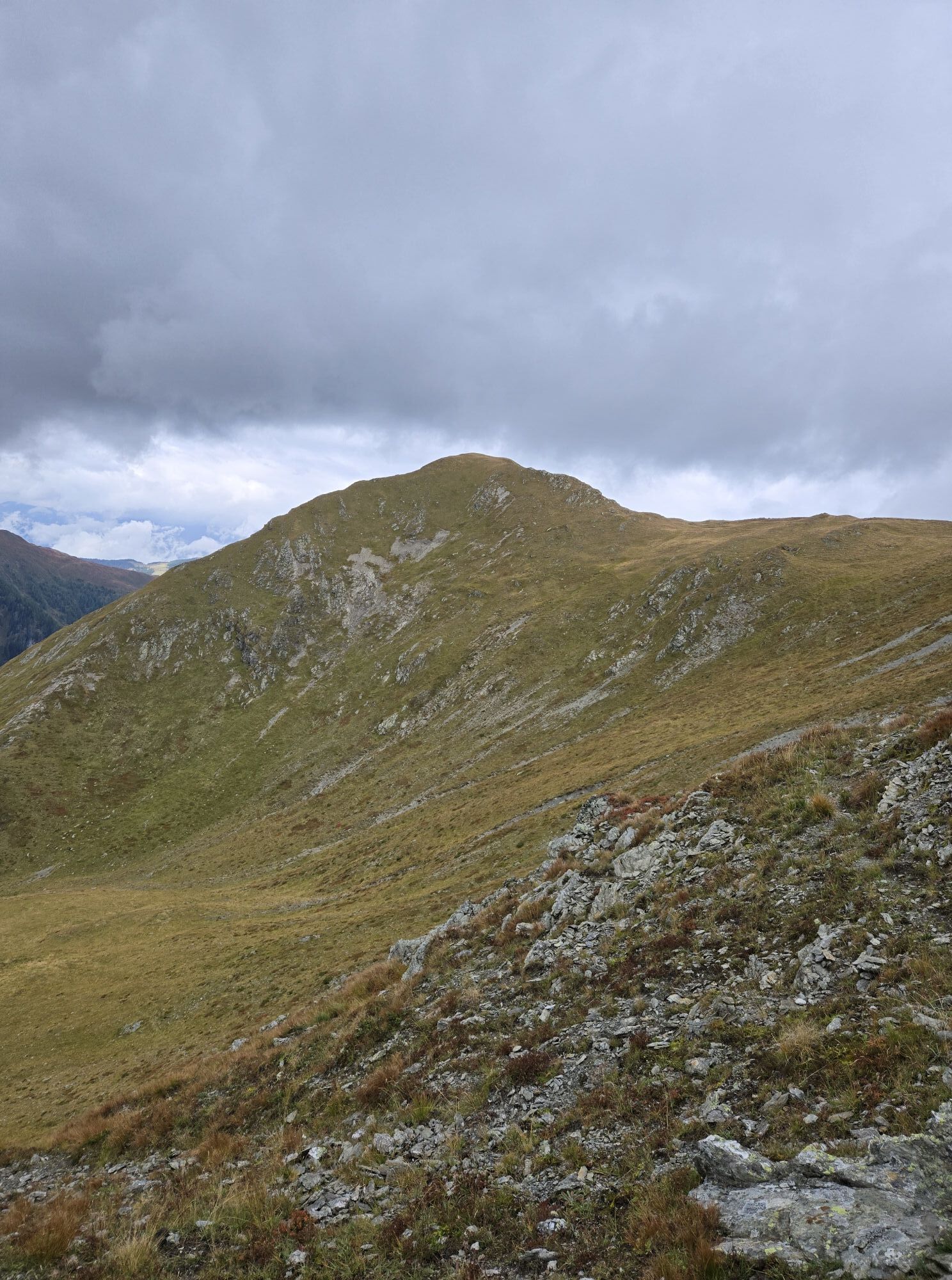
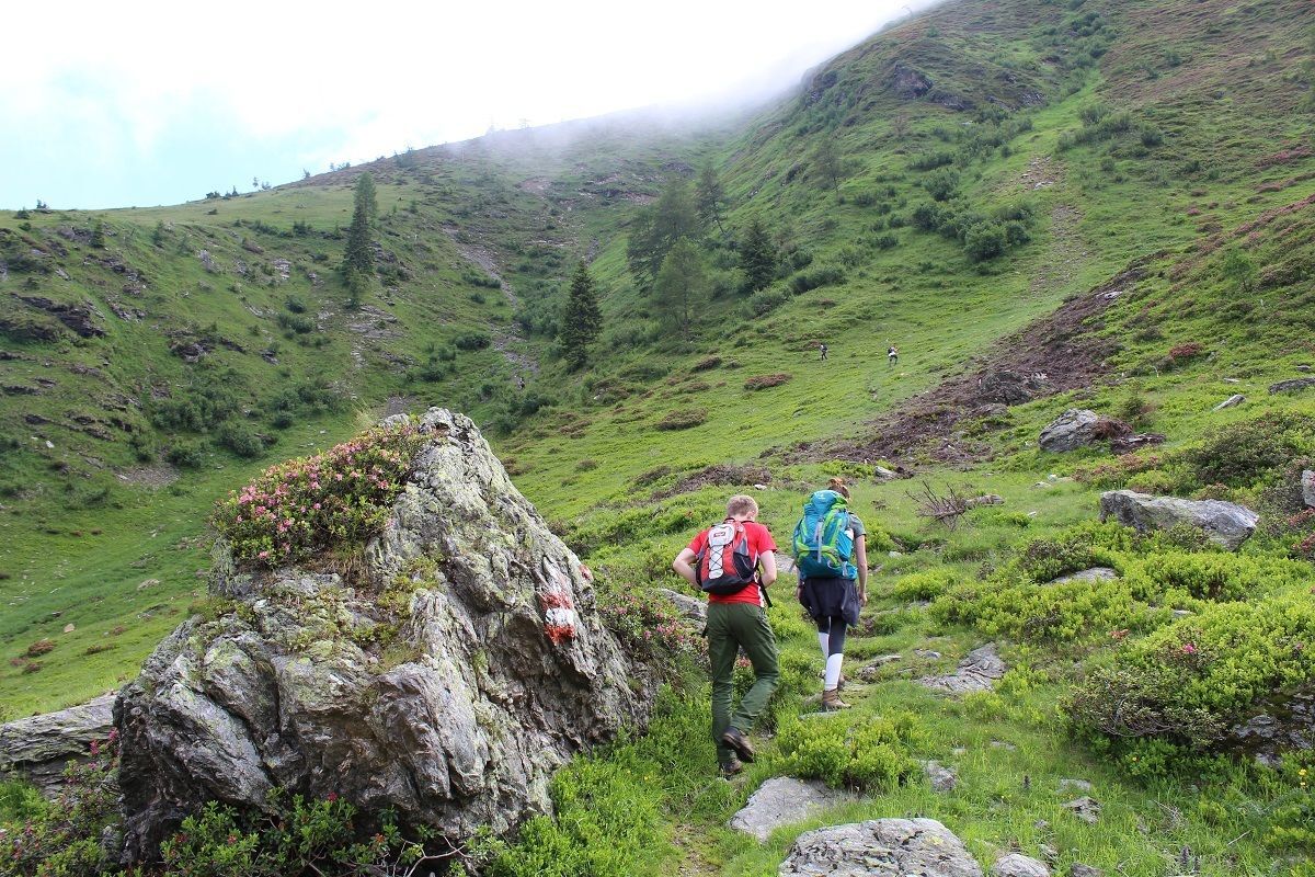
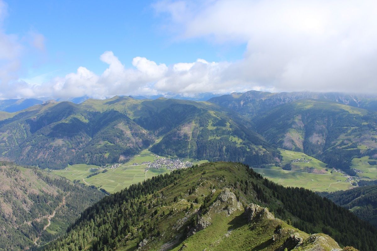
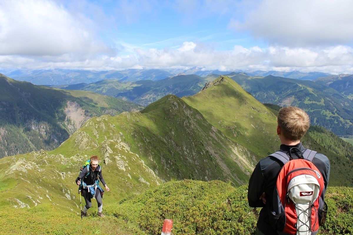
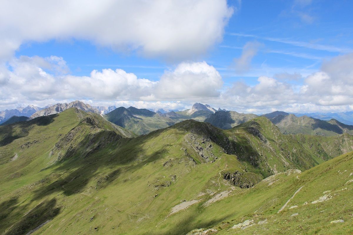
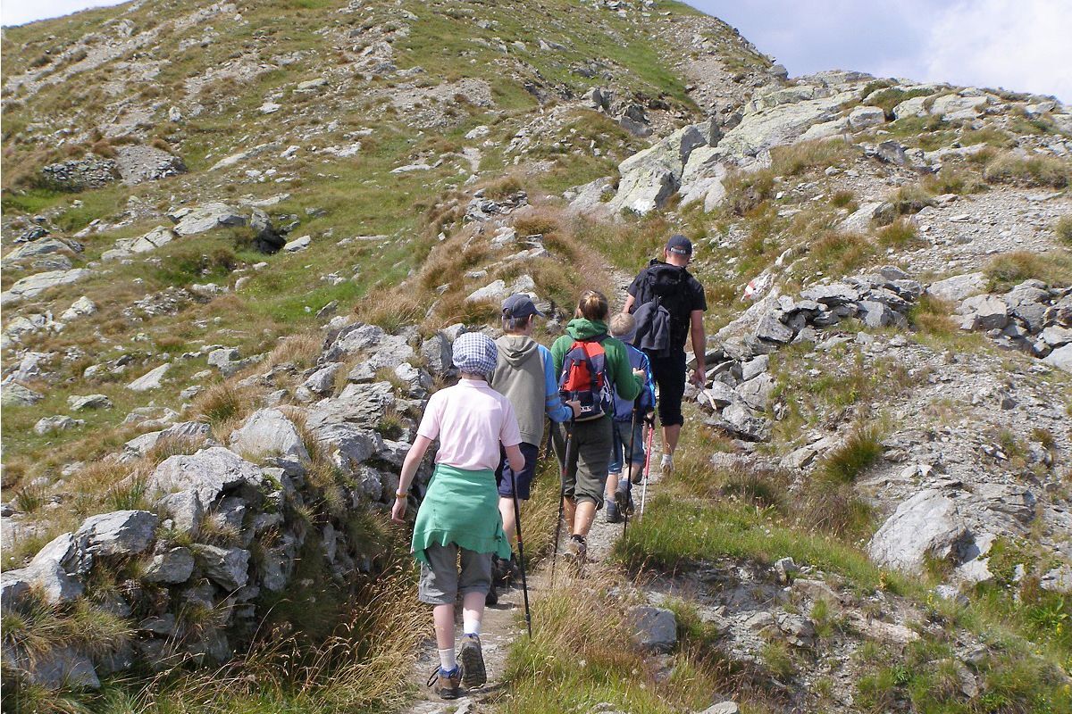
We are heading off for our tour in front of a small bridge at "Pfaffenboden", where we follow the path number 119 until we reach "Parditsboden". There we have to take the left leading us to the crest. Starting from this point, we take the left again unti we arrive at the summit of the "Spitzköfele". Then we follow the same way back to the "Karnischer Höhenweg". After we have passed some remains of trenches from the first world war we descend to the "Tilliacher Joch" and from there, we follow the way back to the "Porzehütte". To get back to our starting point we either take the trail number 18 or we follow the forest road in direction "Klapfsee" until we reach "Pfaffenboden".



Mit dem Auto bis zum Parkplatz Dorfertal
Parkplatz Dorfertal


 Infórmate
Siempre en directo con más de 9.500 webcams. bergfex Como usuario Pro, ahora puede ver las webcams correspondientes a muchos tours en la app de tours desde. Esto le permite ver las condiciones actuales directamente.
Infórmate
Siempre en directo con más de 9.500 webcams. bergfex Como usuario Pro, ahora puede ver las webcams correspondientes a muchos tours en la app de tours desde. Esto le permite ver las condiciones actuales directamente.




Rutas populares en los alrededores
-
4,5
Karnischer Höhenweg – Etappe 4: Hochweißsteinhaus – Wolayersee Hütte
pesadoSendero de largo recorrido 15,9 km -
4,8
Rotwandwiesen kreuzbergpass rundweg
medioSenderismo 12,0 km -
4,6
Kartitsch-Obstansersee Hütte
medioSenderismo 13,1 km -
4,5
Obergail - Alpe de Obergail - Lago de Obergail - Refugio Enderberg - Fuente de Salud y Paz - Sendero Circular Madonna - Obergail
medioSenderismo 11,4 km -
4,4
Connyalm (2.070 m)
Senderismo 6,36 km -
5,0
Tuffbad - Guggenberger Sattel - Samalm - Tuffbad
medioSenderismo 12,2 km -
5,0
Porzehütte (1.942 m)
luzSenderismo 9,01 km -
5,0
Carnic altitude trail. Stage 4: Porzehütte – Hochweißsteinhaus
pesadoSenderismo 17,5 km -
3,9
Caminata circular Obergail - Gamskofel - Obergailer Alm - Obergail
medioSenderismo 13 km -
4,6
Porze (2.589 m)
pesadoSenderismo 9 km
Senderismo y rastreo


No se pierda las ofertas y la inspiración para sus próximas vacaciones
Su dirección de correo electrónico se ha añadido a la lista de correo.





