


Obergurgl Stone Pine Forest - Theme Trail
Fotos de nuestros usuarios

A wonderful hike through picture-book landscapes on the new theme trail of Obergurgl's Stone Pine Forest. A true highlight for young and old! Fresh mountain air and lovely rest areas add to a unique experience....
Lift-assisted hiking or ascending on foot
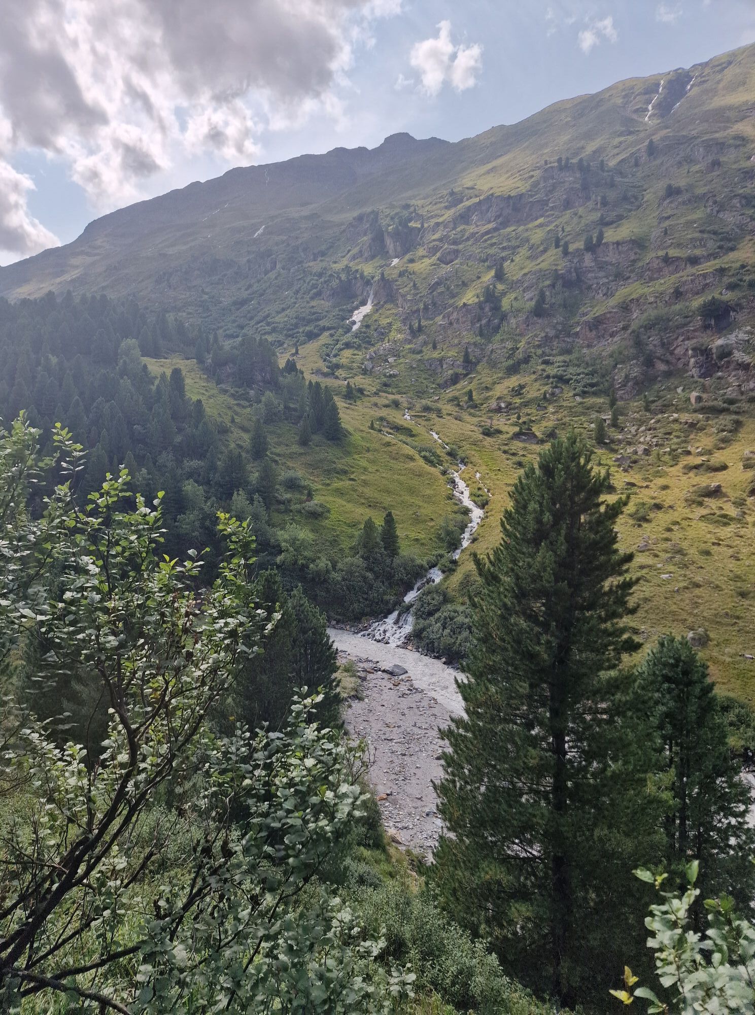
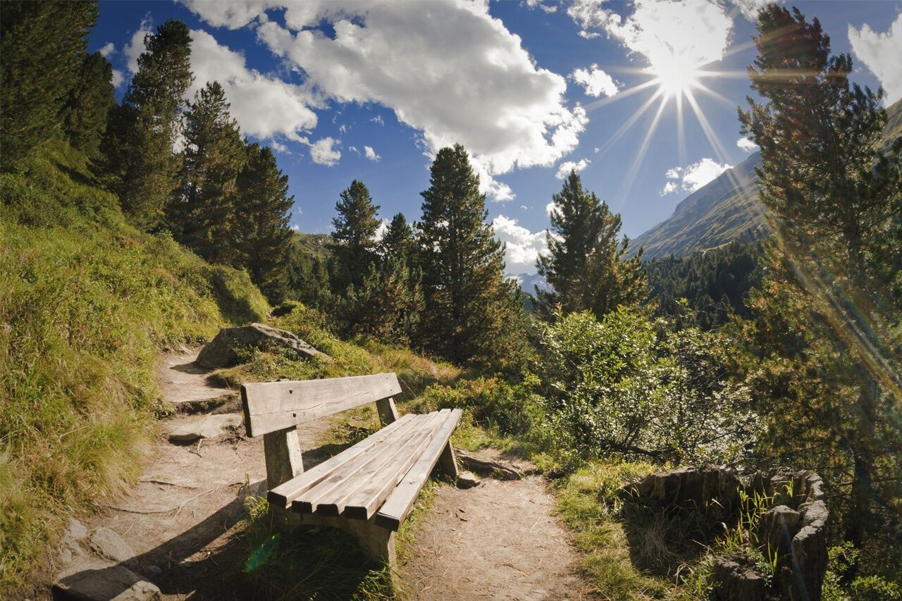
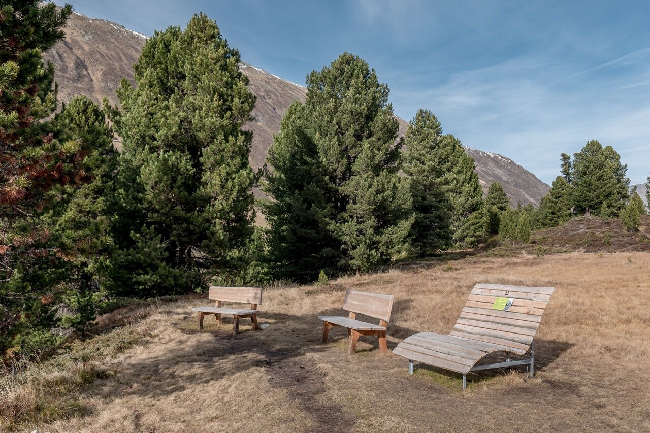
A possible - and especially beautiful - access to the theme trail can be found at rustic Zirben Alm at the foot of the path. Alternatively, there is another access point halfway up the stone pine forest, just a few steps from the middle station of Hohe Mut (2065 m) mountain gondola. If you don't want to use the mountain lift (free for Ötztal Inside Summer Card holders) you can hike along a forest road from Obergurgl. The adventure theme trail with 15 stations also features attractive rest stops and recreational places. In case you have chosen the route from the middle station, the child-friendly trail travels mostly downhill and ends near Zirben Alm (1960 m) which offers excellent cuisine and superb panoramic views. If you go on foot this easy hiking tour will take about 3 hours. Alternatively, you can hike from the stone pine forest past the Rotmoos waterfall to Schönwies Hütte and stop for a bite to eat.
Special tip: The separate "Views and Perspectives - Zirbenweg Obergurgl" brochure is available for free at the Ötztal Tourismus information office.


Follow the main village road from Obergurgl, below the University Center and towards the last houses. Then turn right into the Alpine meadows and continue to David's Hütte. The leisurely walking trails takes you further on to a ledge (wayside cross and bench) located opposite Nasenwand wall. Heading to the left, you follow a picture-book, slightly rising trail through the 400 year old Stone Pine Forest until you reach a small slope. Return on the almost level trail to Gaisbergbrücke bridge and along the cart trail to Obergurgl.
What do you want to do ?
Sí
Appropriate equipment such as breathable suitable outdoor clothes for the weather, ankle-high walking boots, wind-, rain- & sun protection, hat, possibly gloves, is for all hikes and tours necessary. Please bring a first-aid box, a mobile phone, a walking map and if there is no hut on the way a snack and enough to drink.
Stone pine trees are often the only plants to defy wind and weather in the high mountains. A 20-hectare Alpine stone pine forest, as it extends from Obergurgl between 1950 m and 2100 m altitude on the northern slopes of Schönwieskopf, is therefore something very special. Since 1963 it has been a protected area and natural monument defined by UNESCO within the "Gurgler Kamm" Biosphere Park.Walkers on the theme trail can learn many interesting facts about stone pines, forest animals (e.g. jaybirds), fauna and anecdotes about locals. By using interactive devices - such as a telescope - you can explore the surrounding area and look for "bears, cats and monkeys", that's the hunter's language for male, female and young marmots.
Rutas populares en los alrededores
-
4,3
Vorderkaser - Eishof / Texelgruppe
luzSenderismo 4,83 km -
4,8
Vent - Kreuzspitze
Senderismo 20,6 km -
4,6
Passerschlucht
luzSenderismo 8,84 km -
3,1
Sendero de gran altitud de Tiefenbach - Pueblo montañero de Vent
medioSenderismo 10,8 km -
4,5
Vent - Wilder Mann - Cabaña Breslauer - Stableinalm
medioSenderismo 7,25 km -
4,4
Hochtour Wildspitze, 3.768m
medioExcursión de alta montaña 9,75 km -
5,0
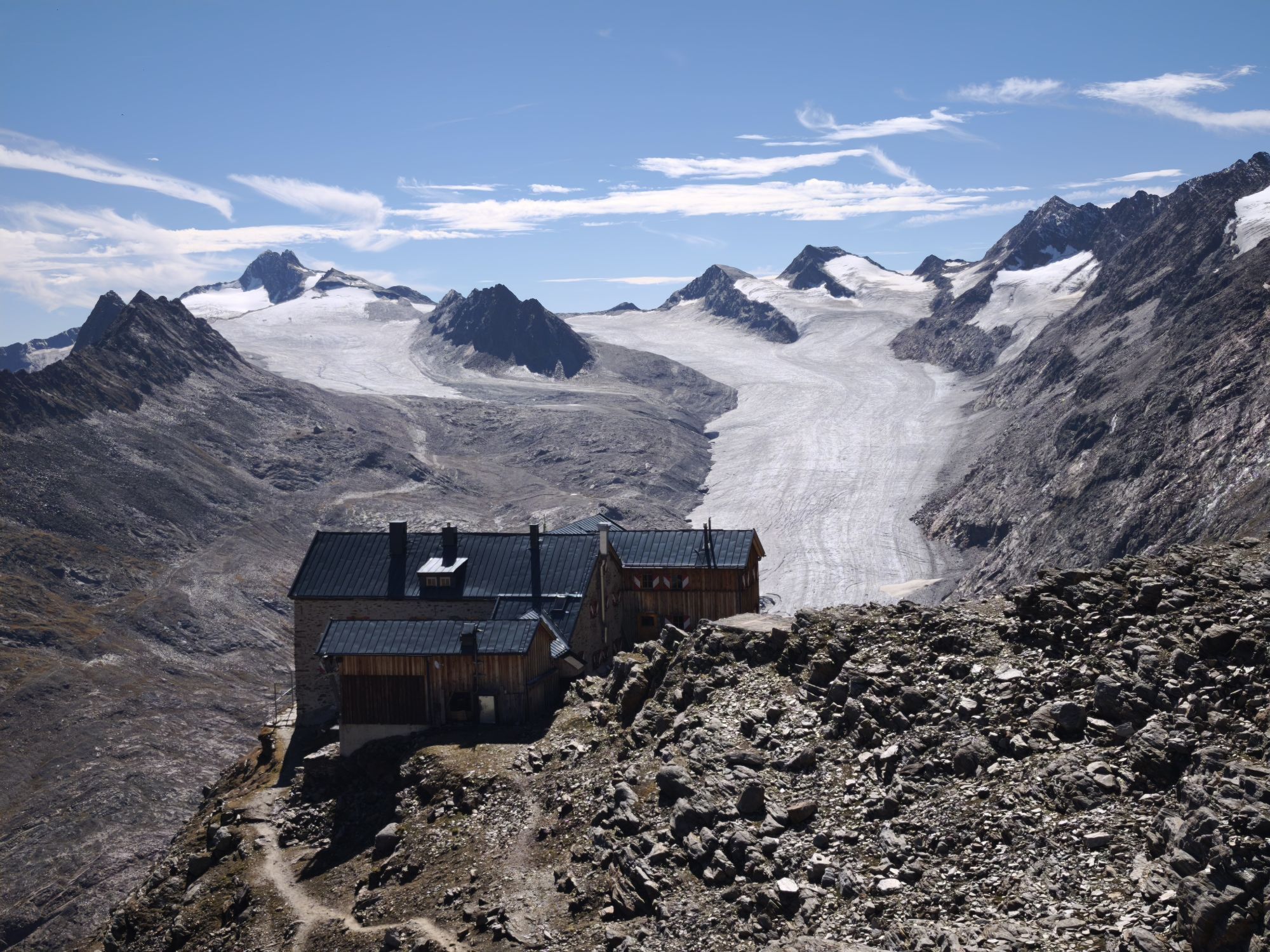
Obergurgl - Ramolhaus
Senderismo 7 km -
4,4
Passerschlucht mit Stieber Wasserfällen, Trentino-Südtirol/Italien
medioSenderismo 9,49 km -
4,4
Hochwilde - Pfelders
medioExcursión de alta montaña 22,1 km -
4,8
Spronser Seen lakes: At the heart of the Texelgruppe Nature Park
pesadoSenderismo 15,1 km
Senderismo y rastreo


No se pierda las ofertas y la inspiración para sus próximas vacaciones
Su dirección de correo electrónico se ha añadido a la lista de correo.