
Themed Path “Alpenblumenweg Oberseite"
medio
Consigue este tour en tu móvil
Themed Path “Alpenblumenweg Oberseite"
medio
Sendero temático
14,20
km
Escanee el código QR e inicie la navegación en la aplicación bergfex


Senderismo y rastreo





Themed Path “Alpenblumenweg Oberseite"
medio
Distancia
14,2
km
Duración
06:00
h
Ascenso
797
m
Nivel del mar
1.554 -
2.373
m
Descarga de pistas
Themed Path “Alpenblumenweg Oberseite"
medio
Sendero temático
14,20
km
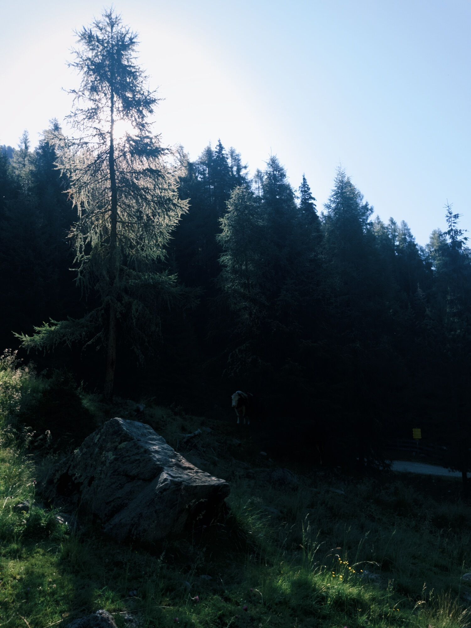
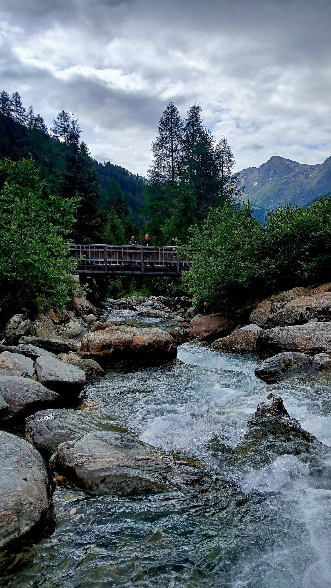
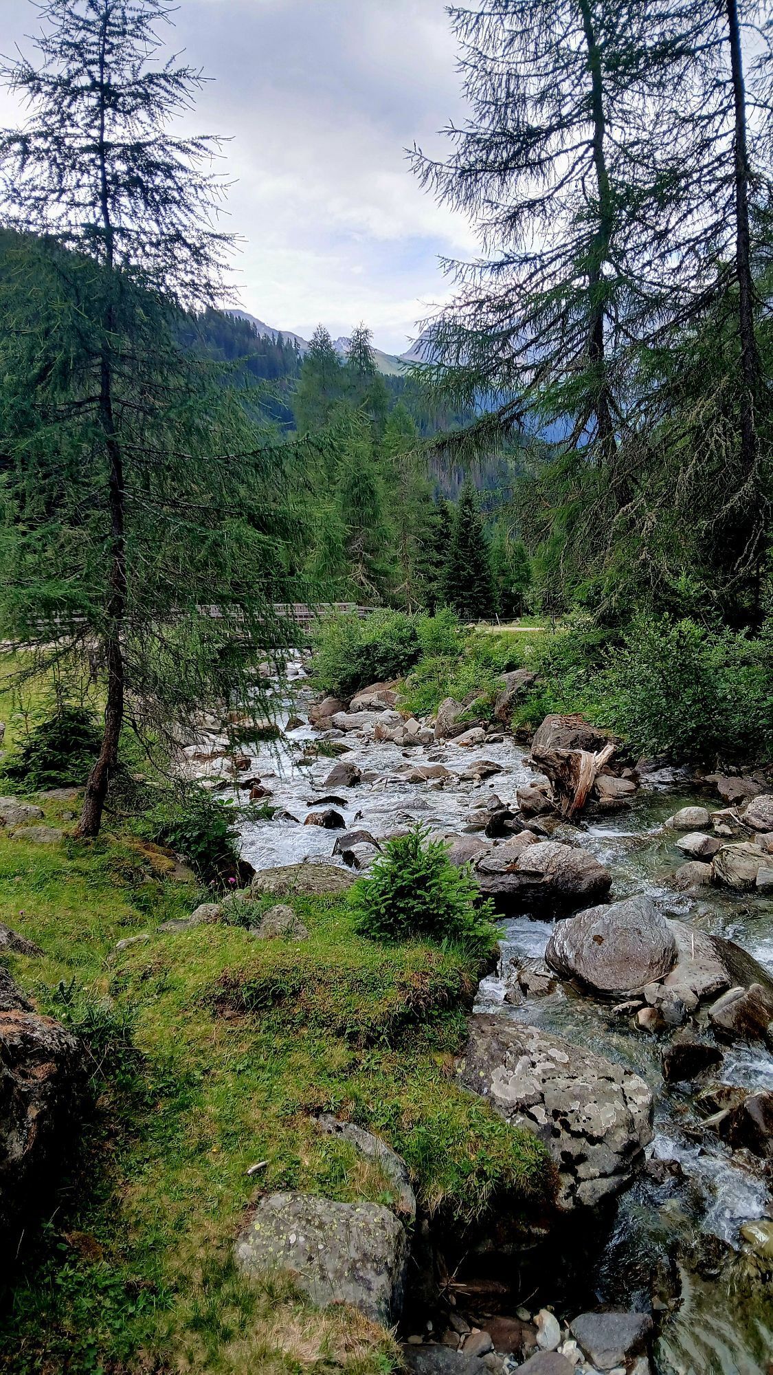
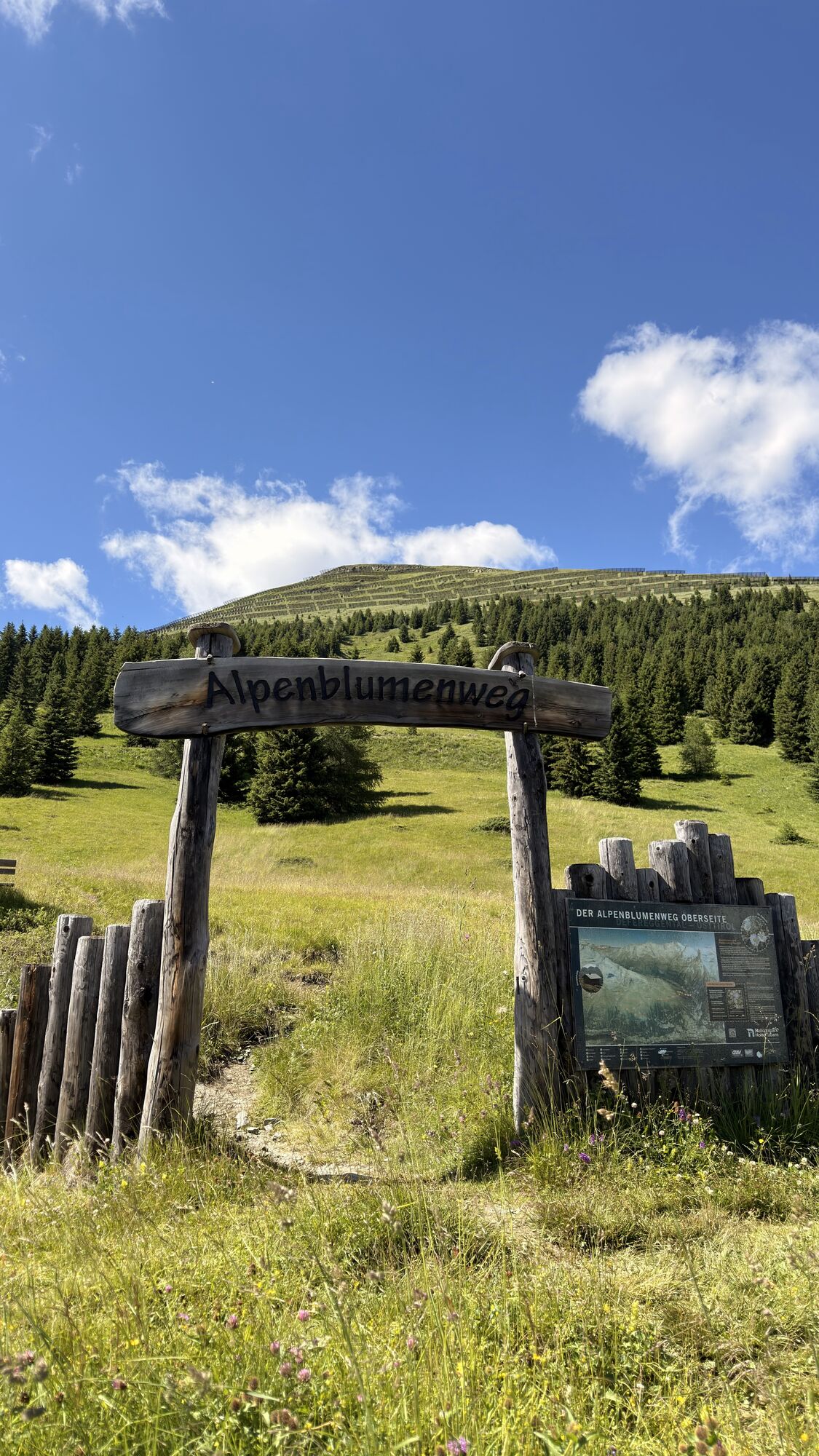
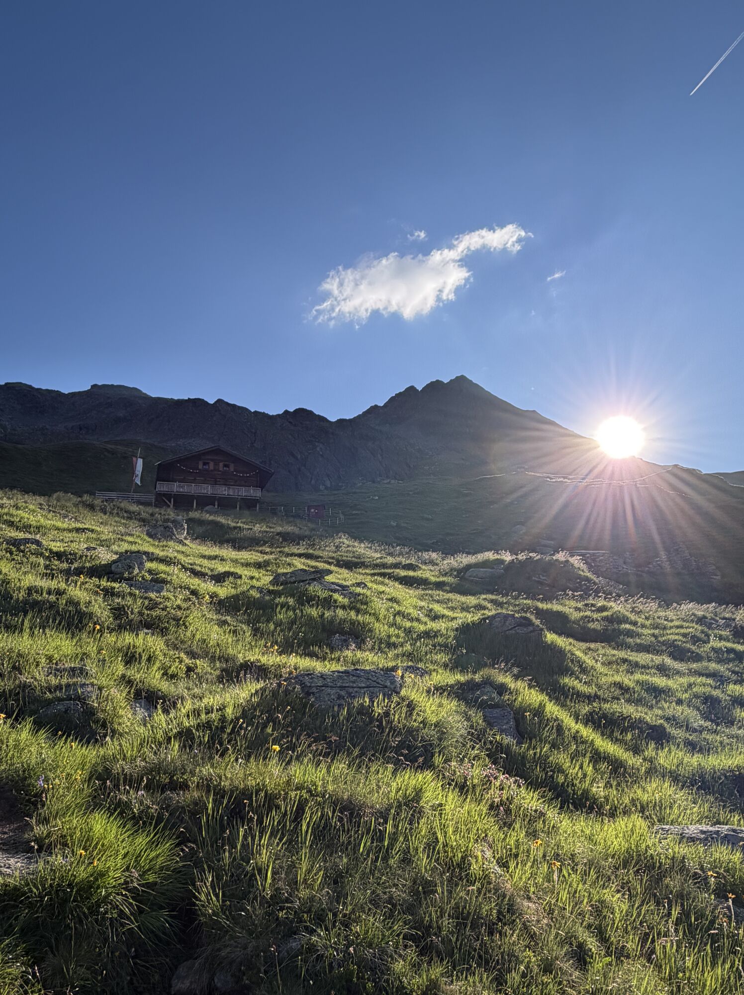
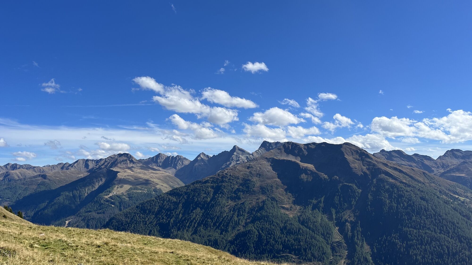
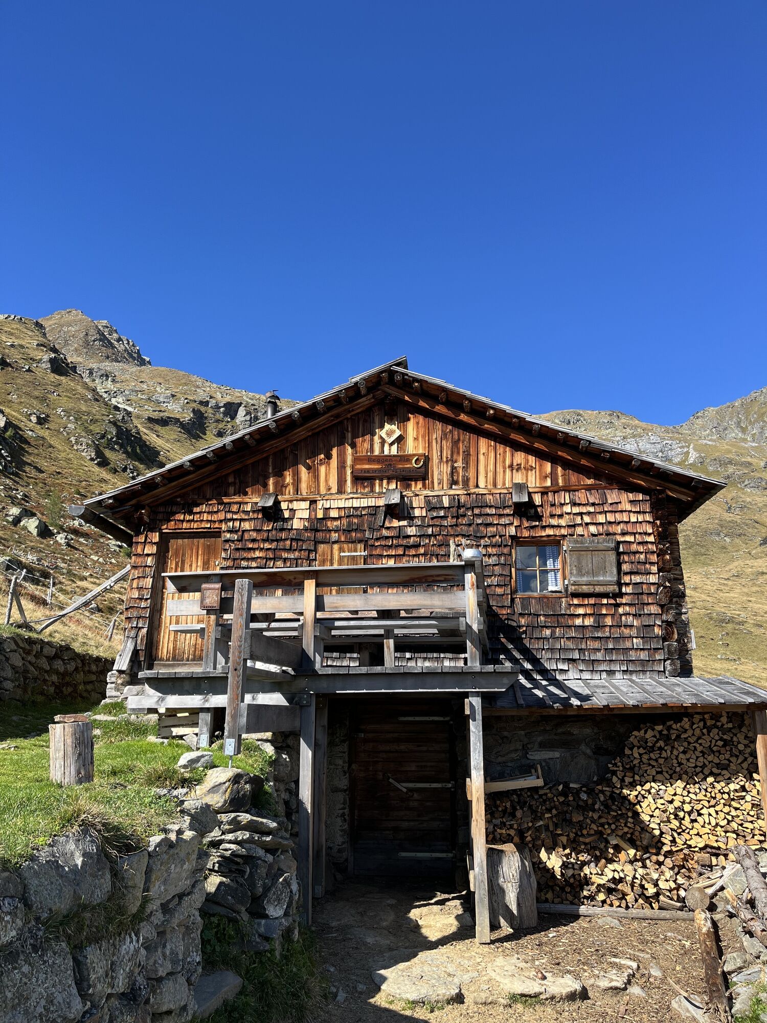
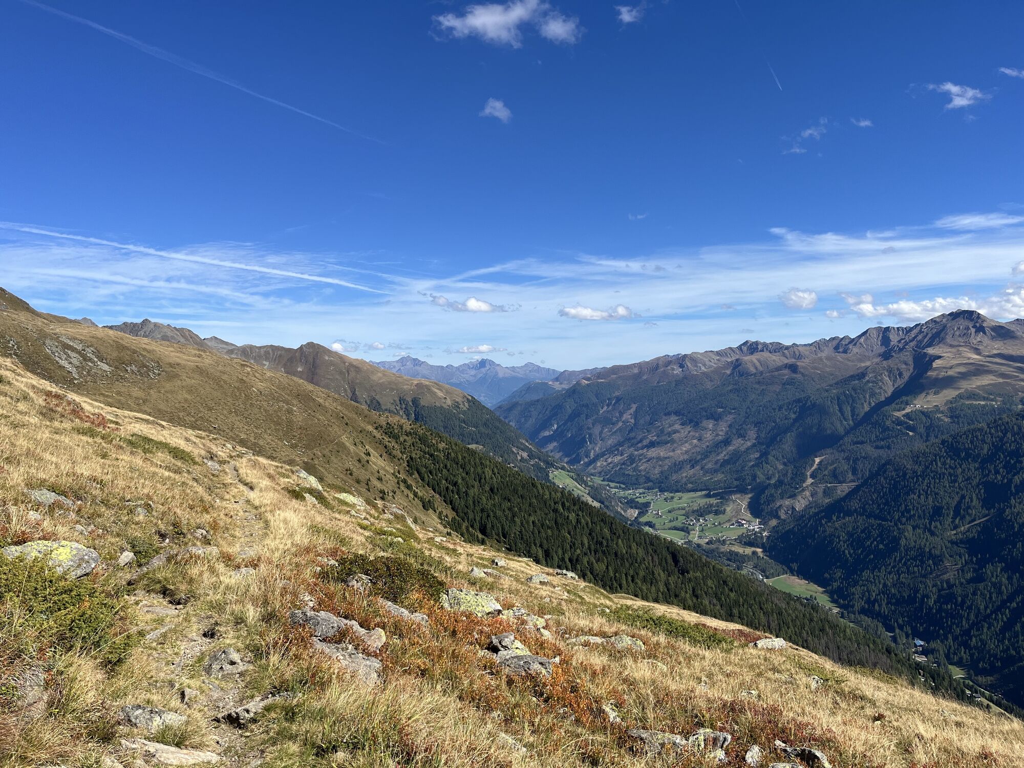
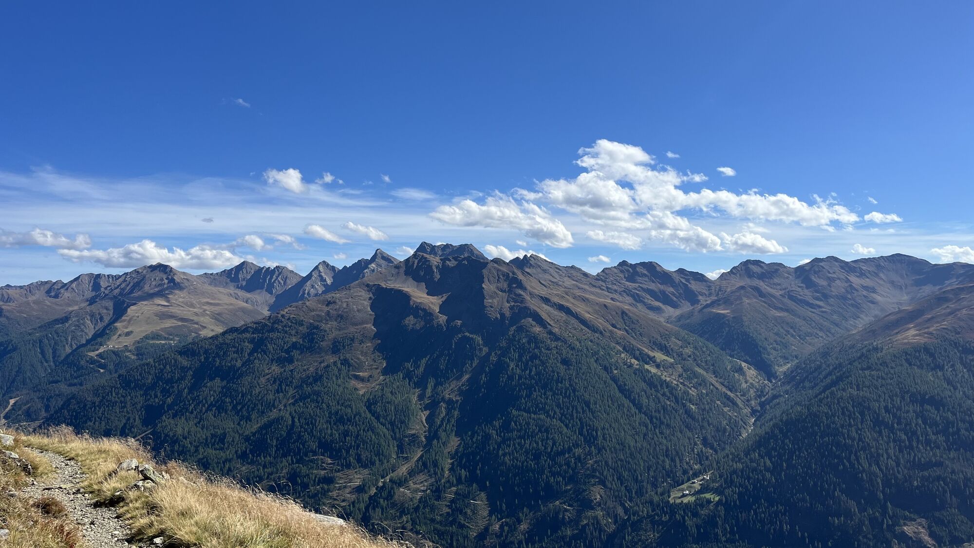
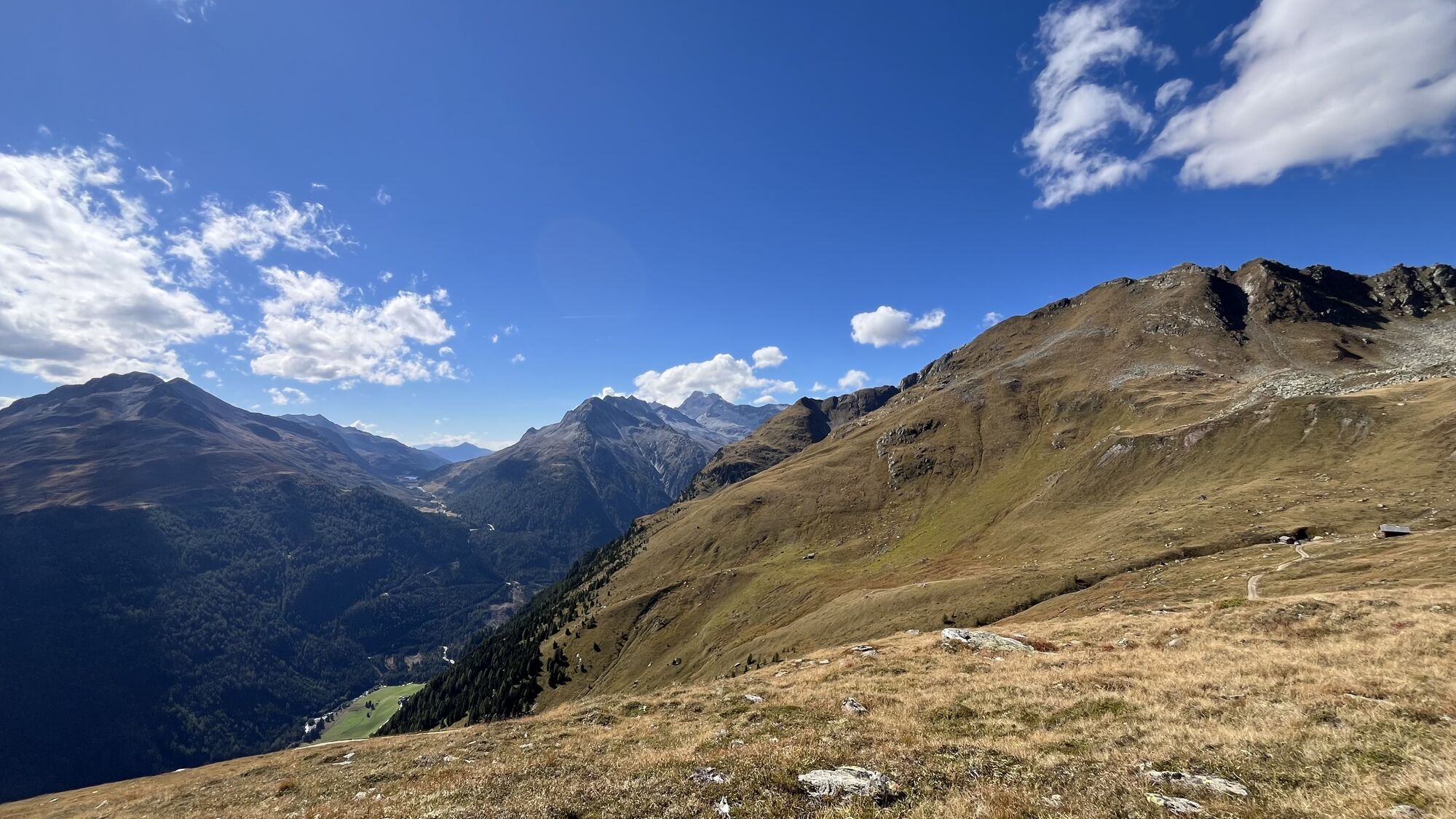
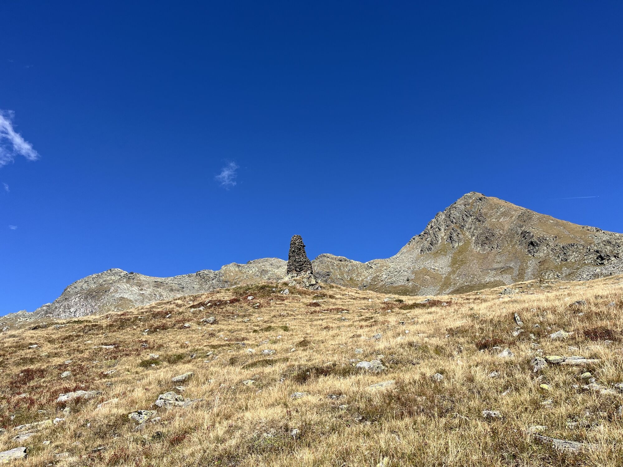
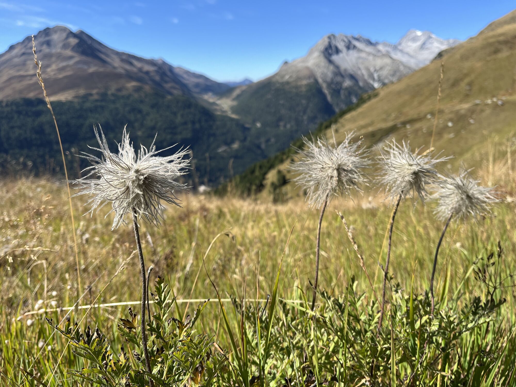
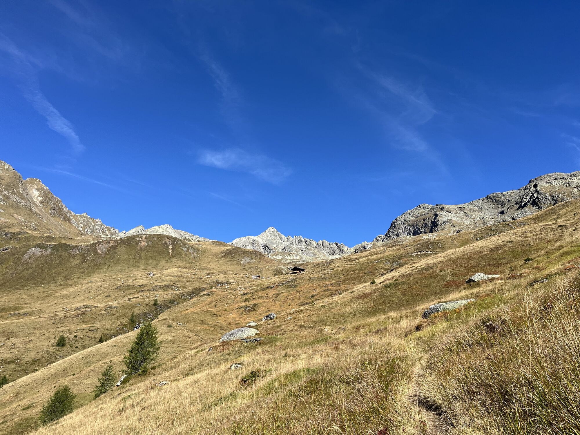
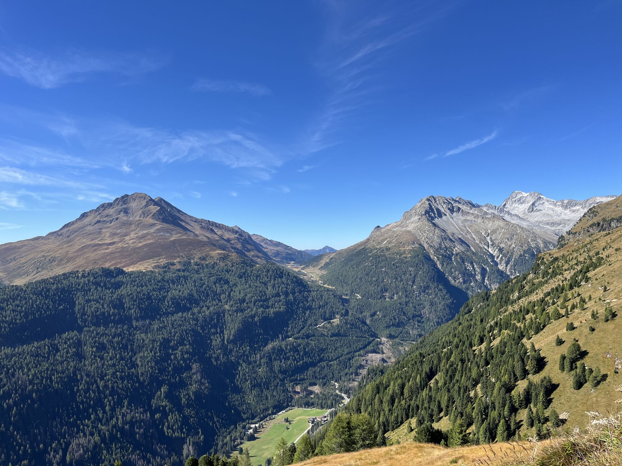
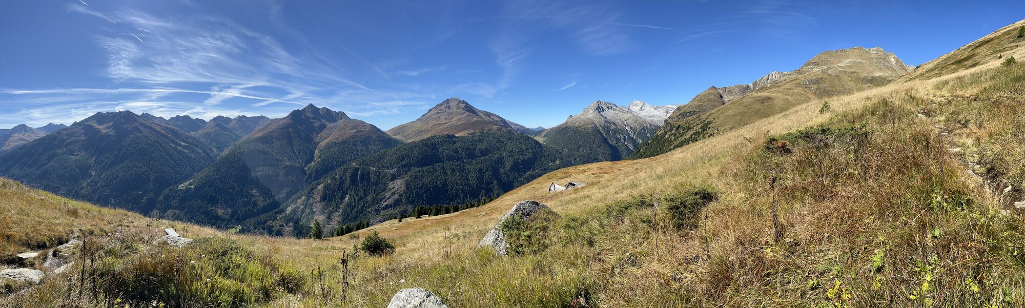
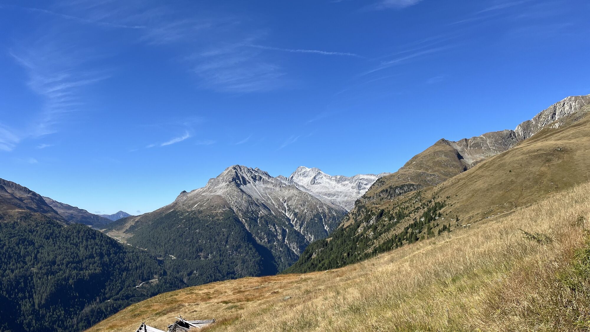
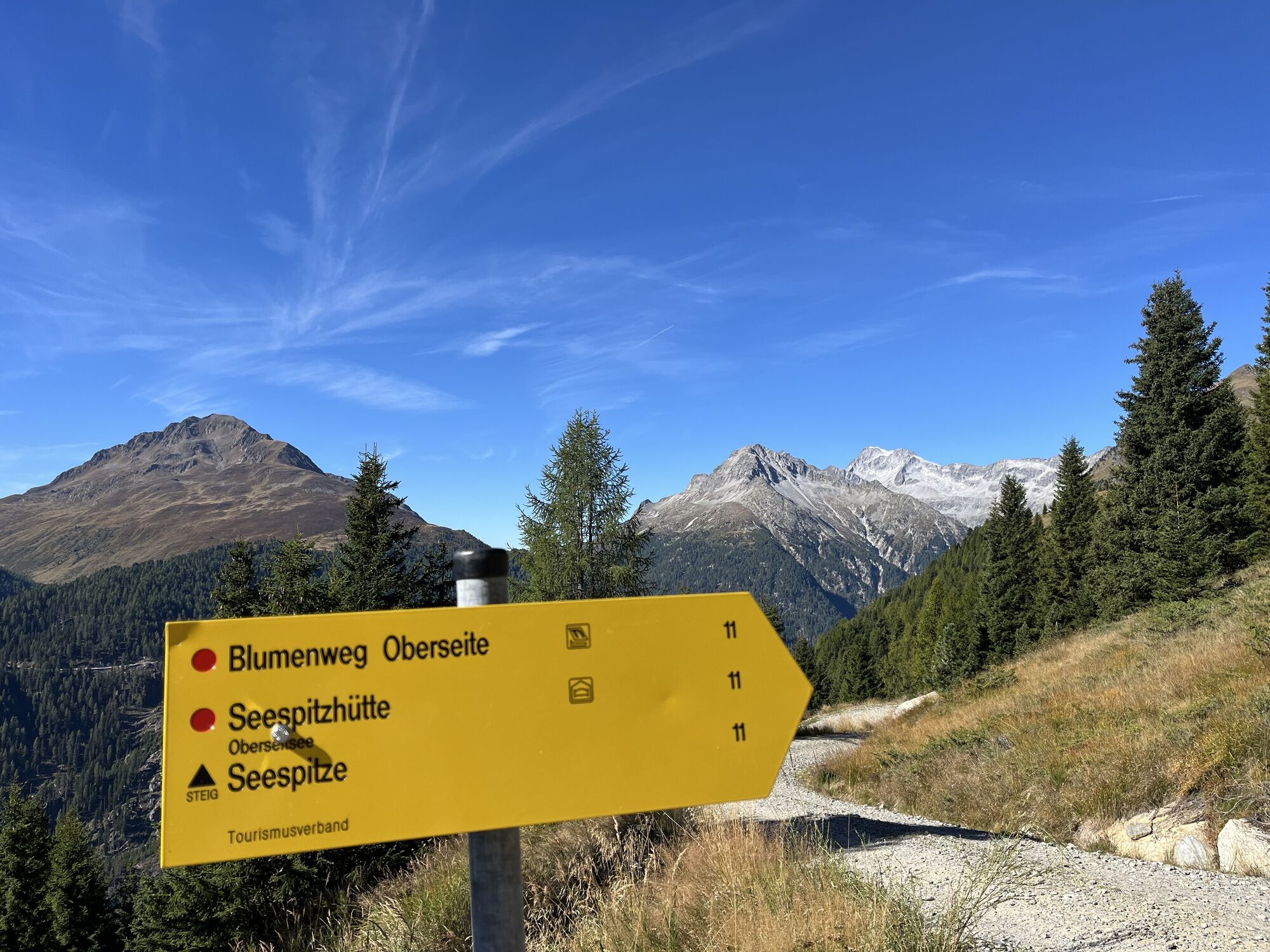
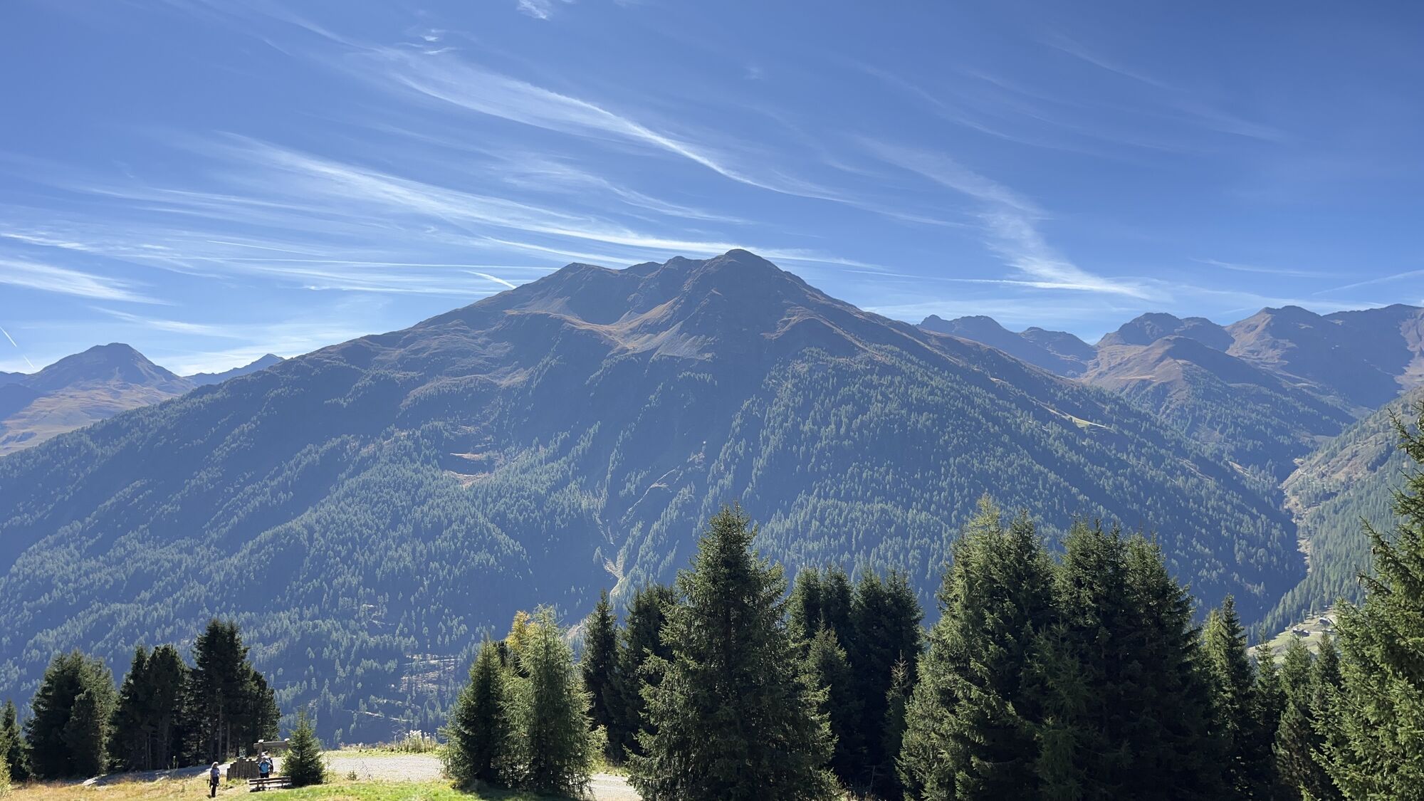
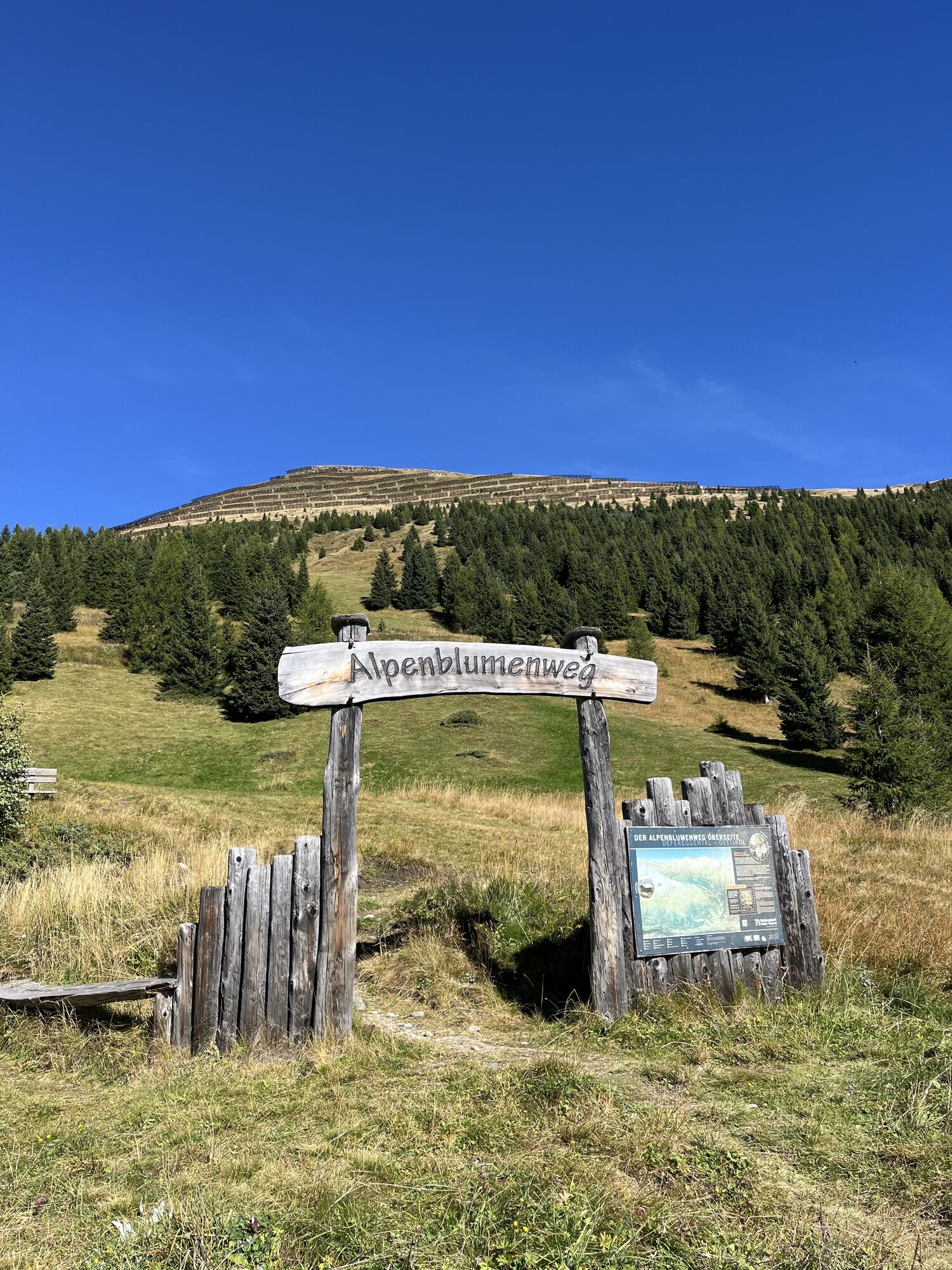

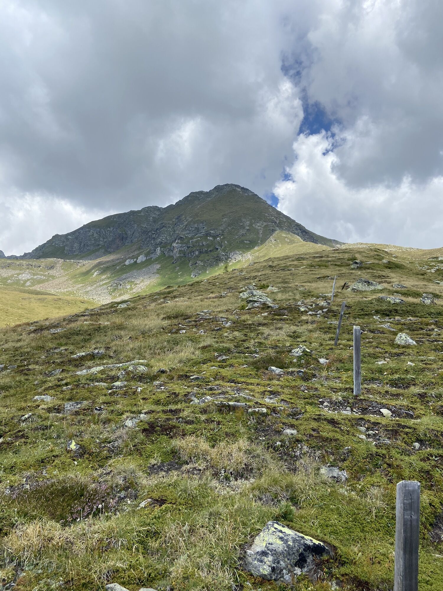
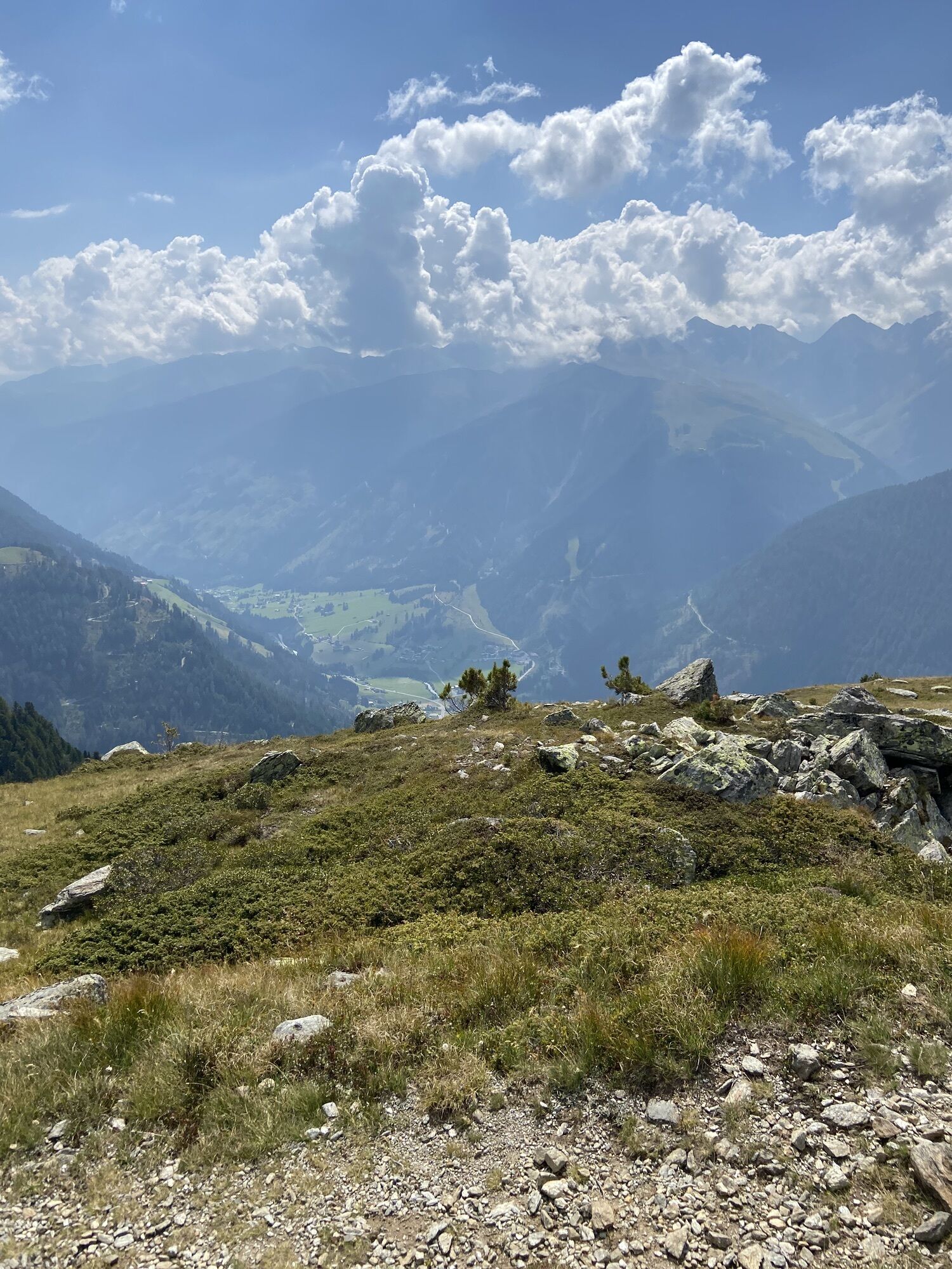
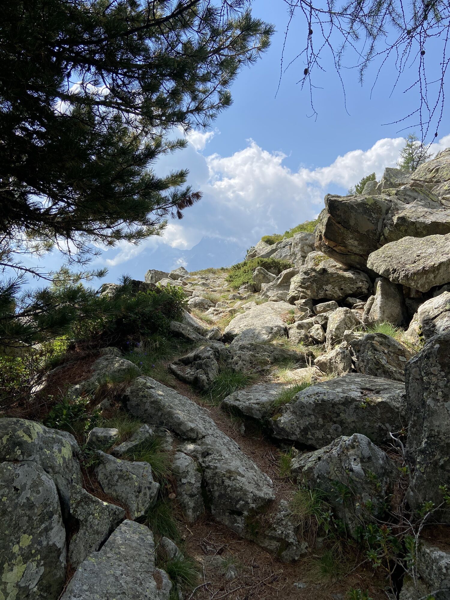
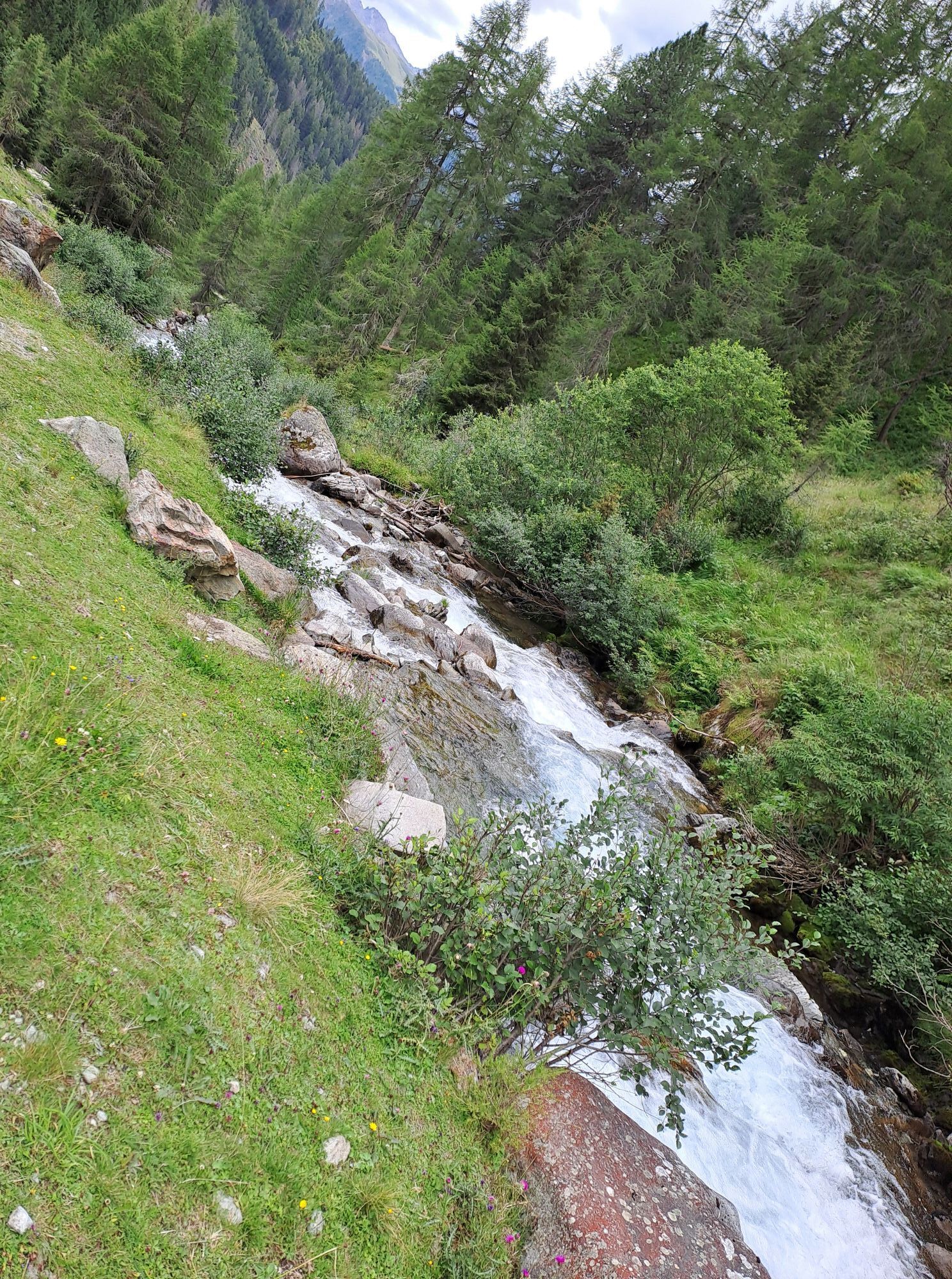
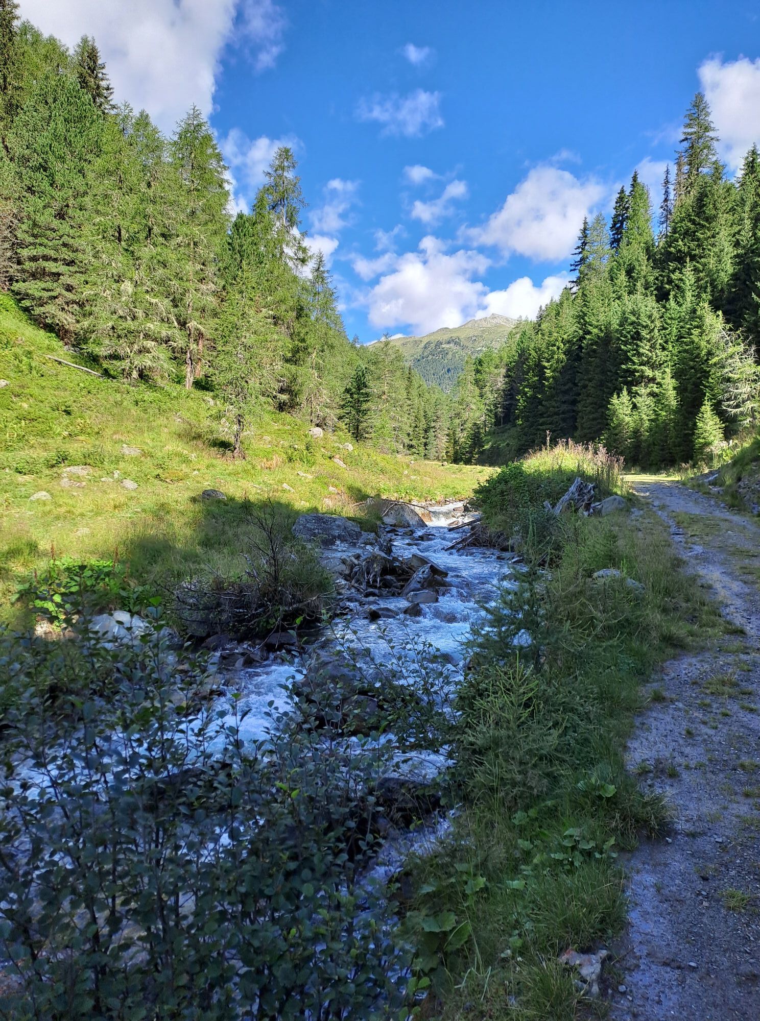
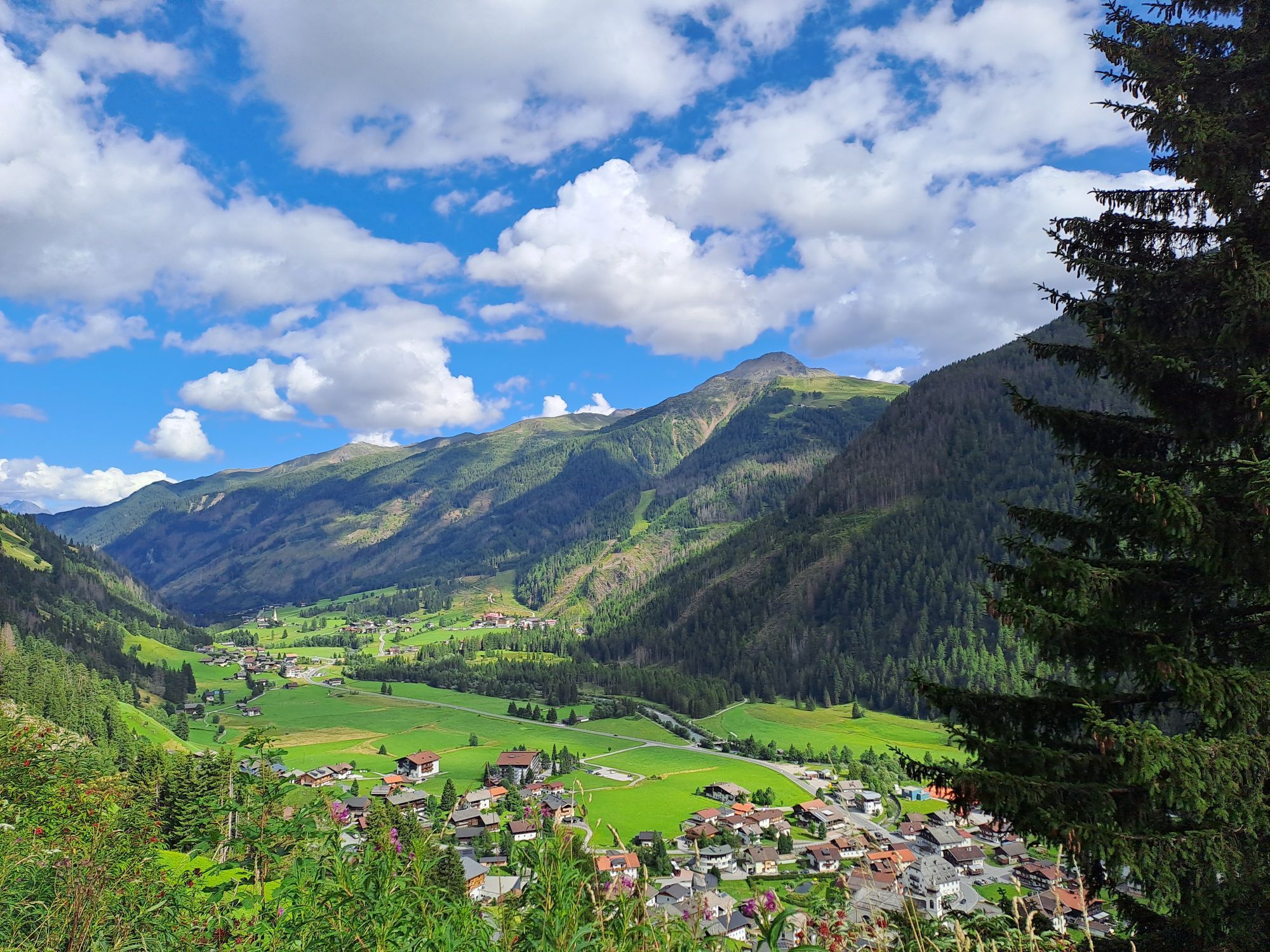
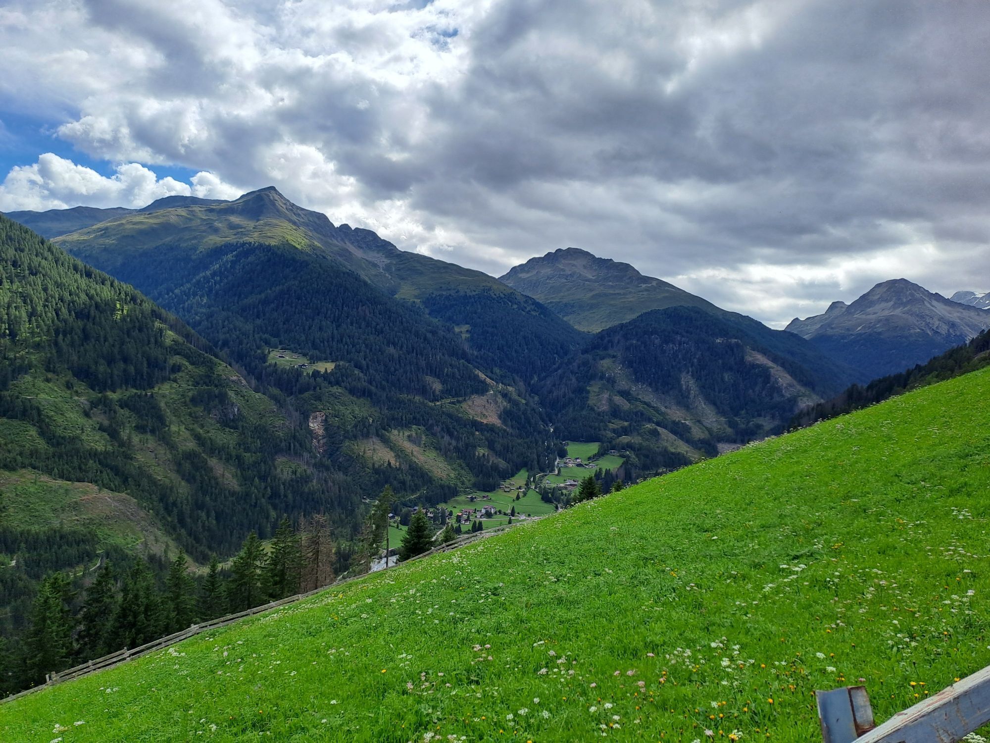
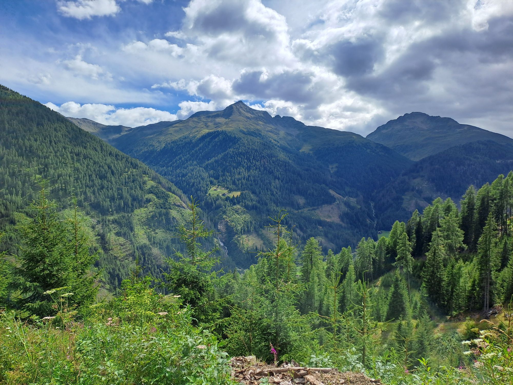
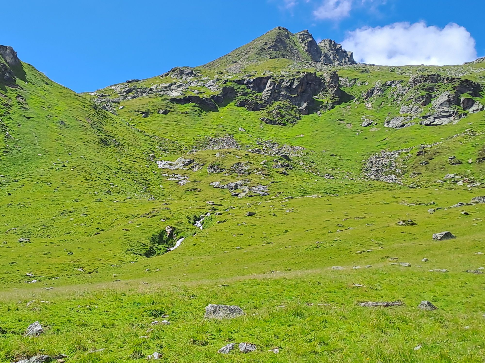

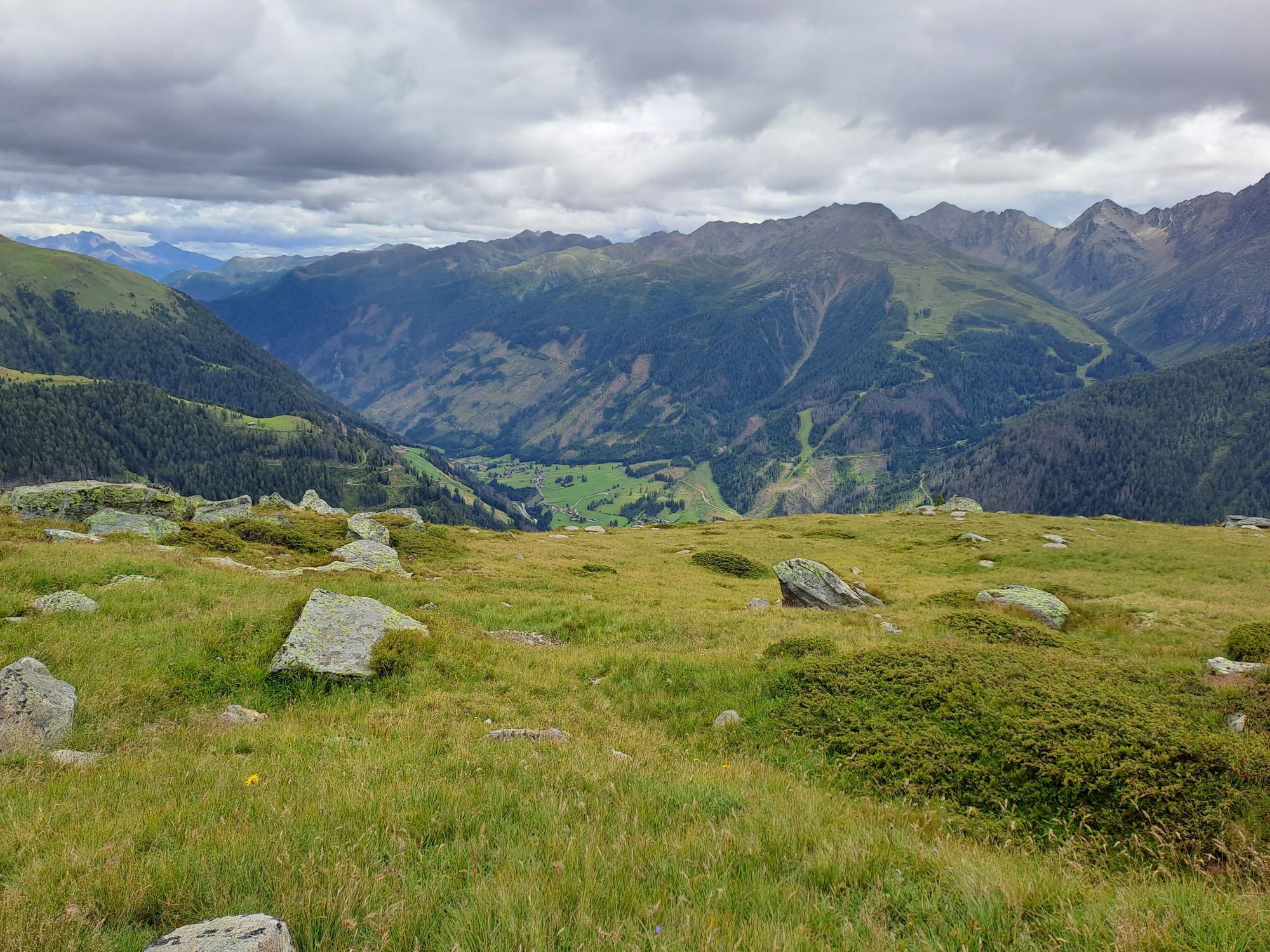
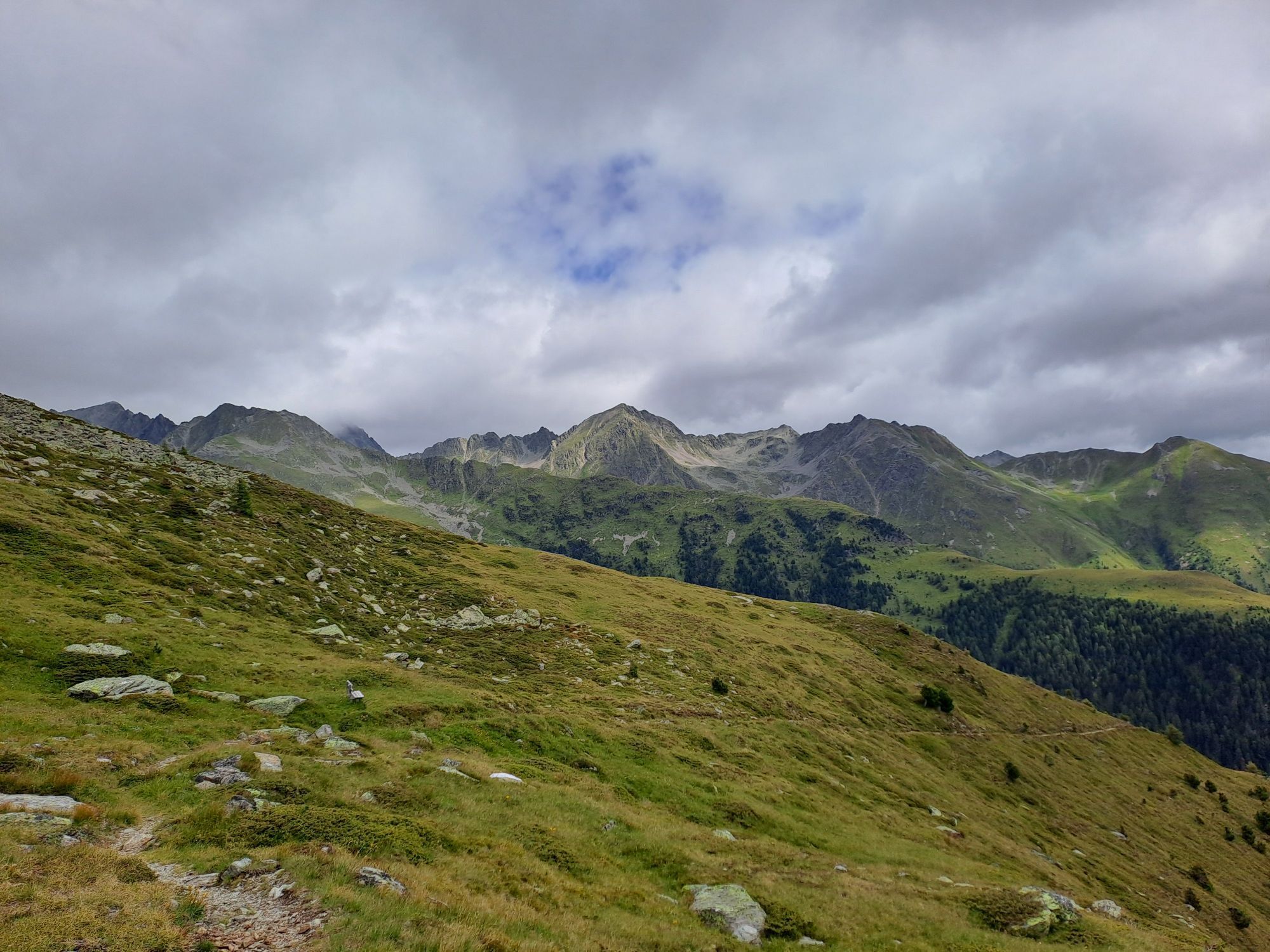

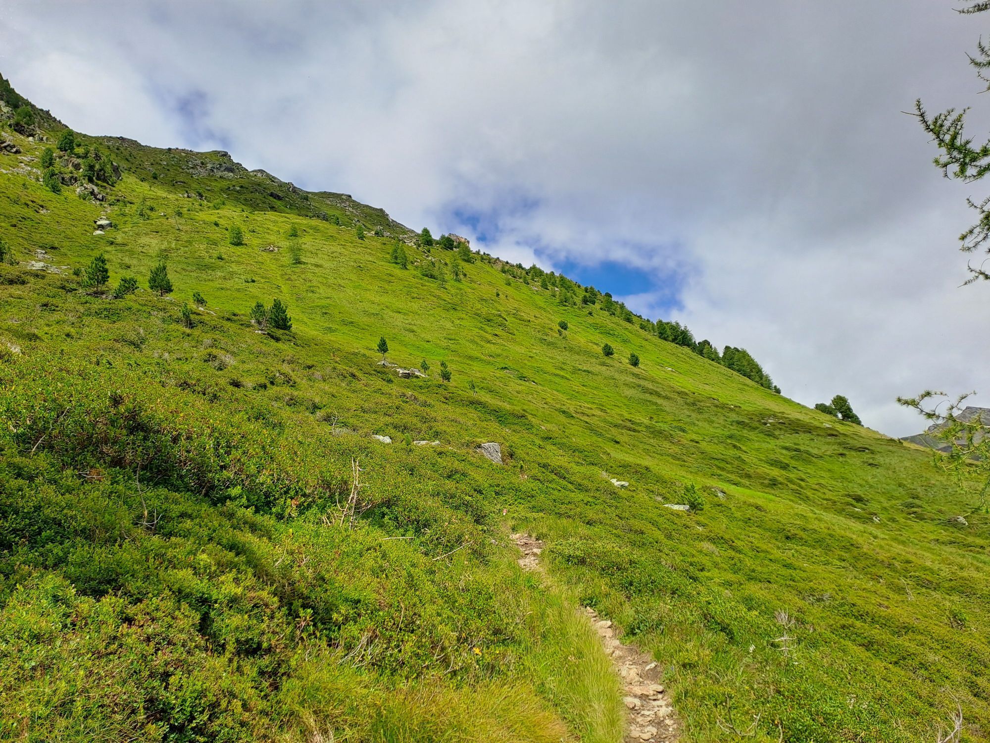
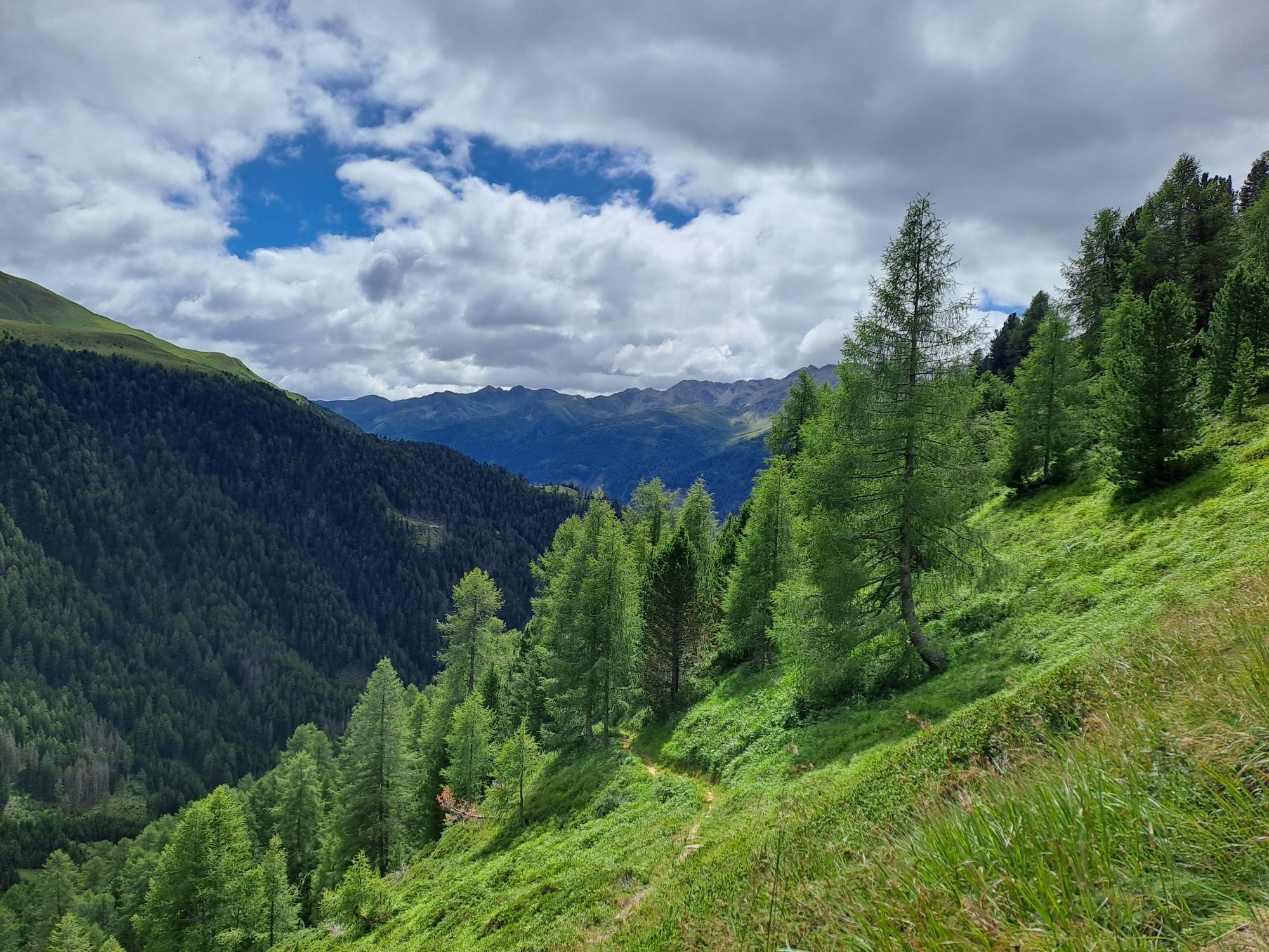
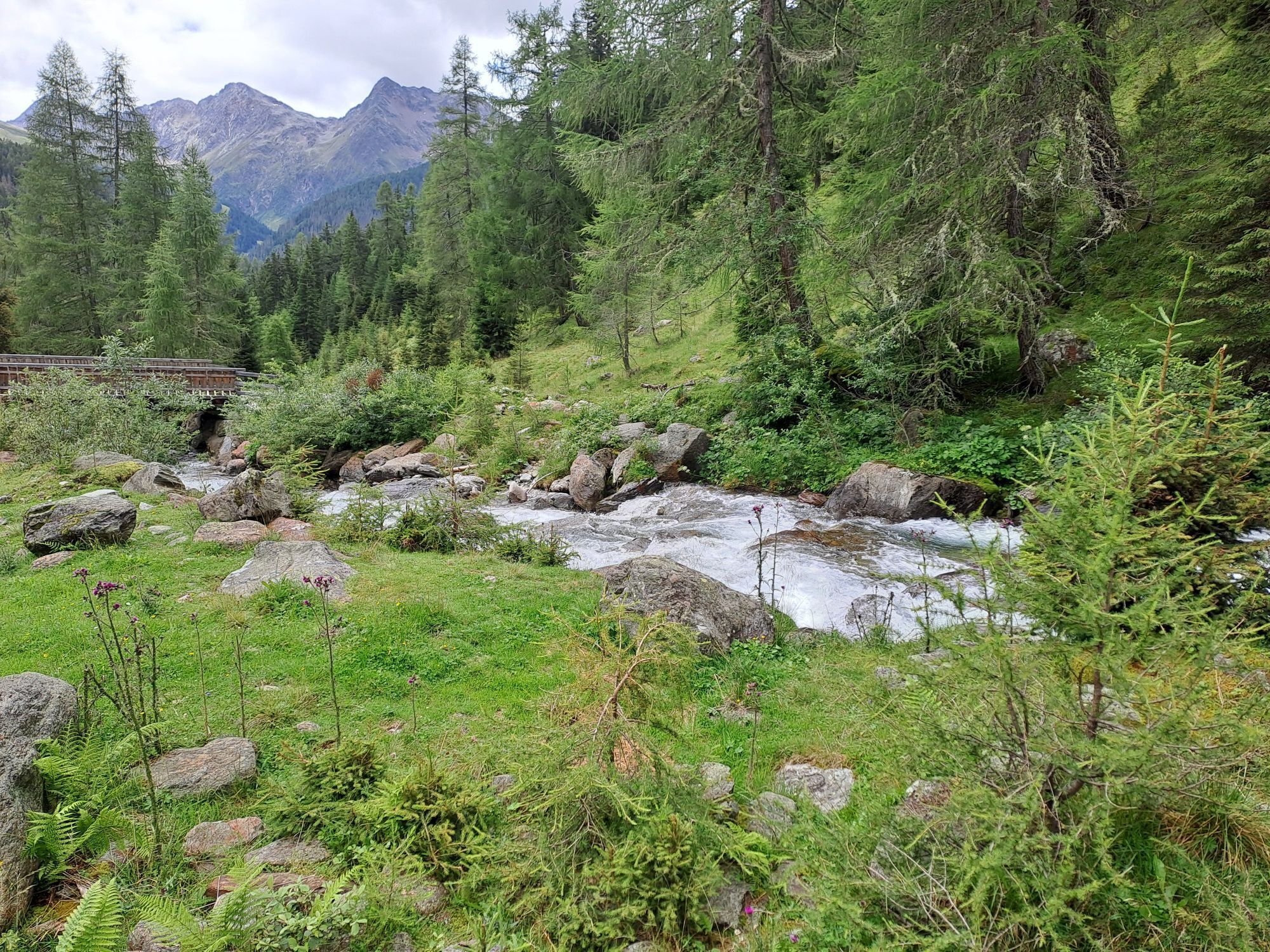
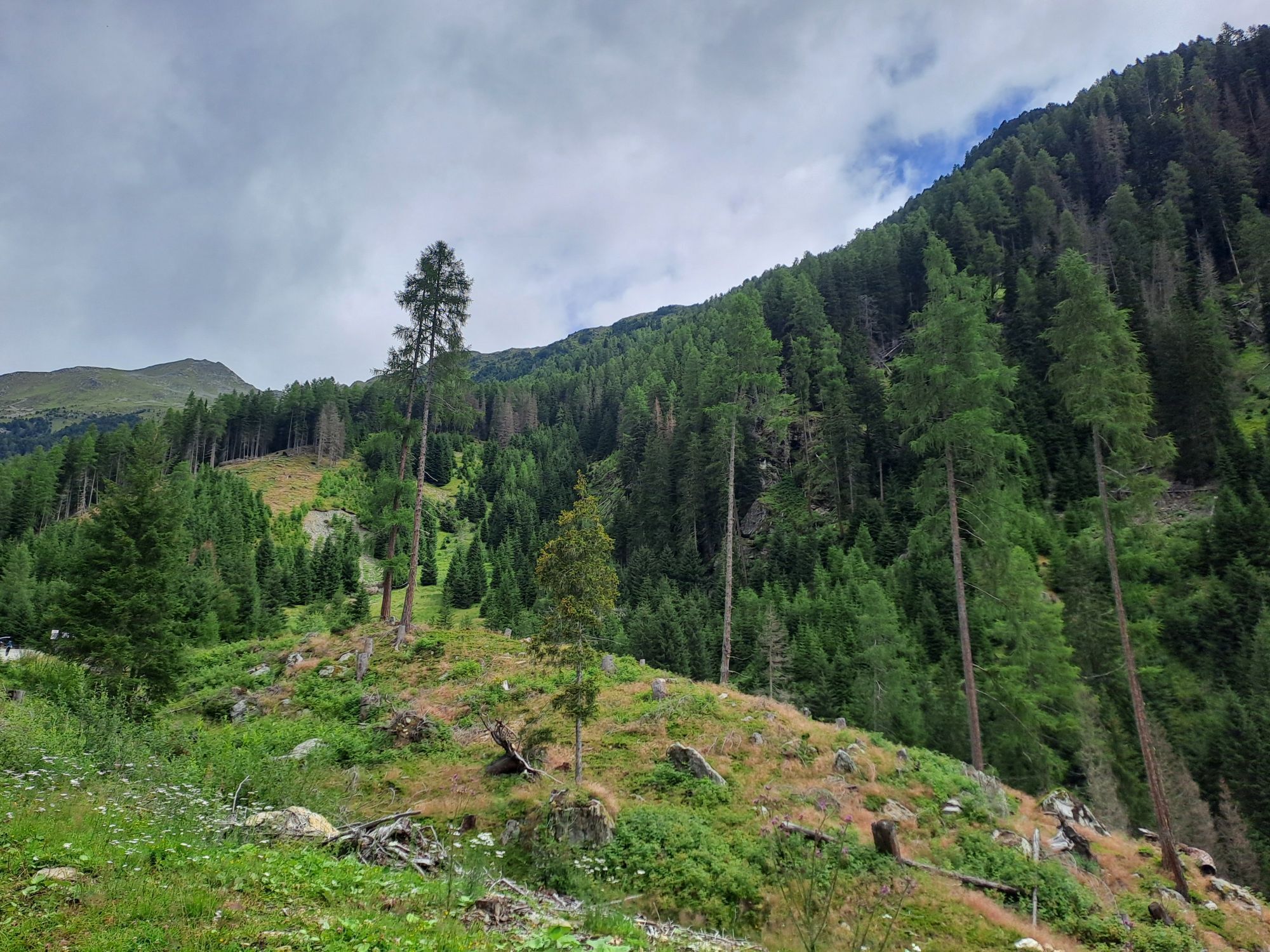
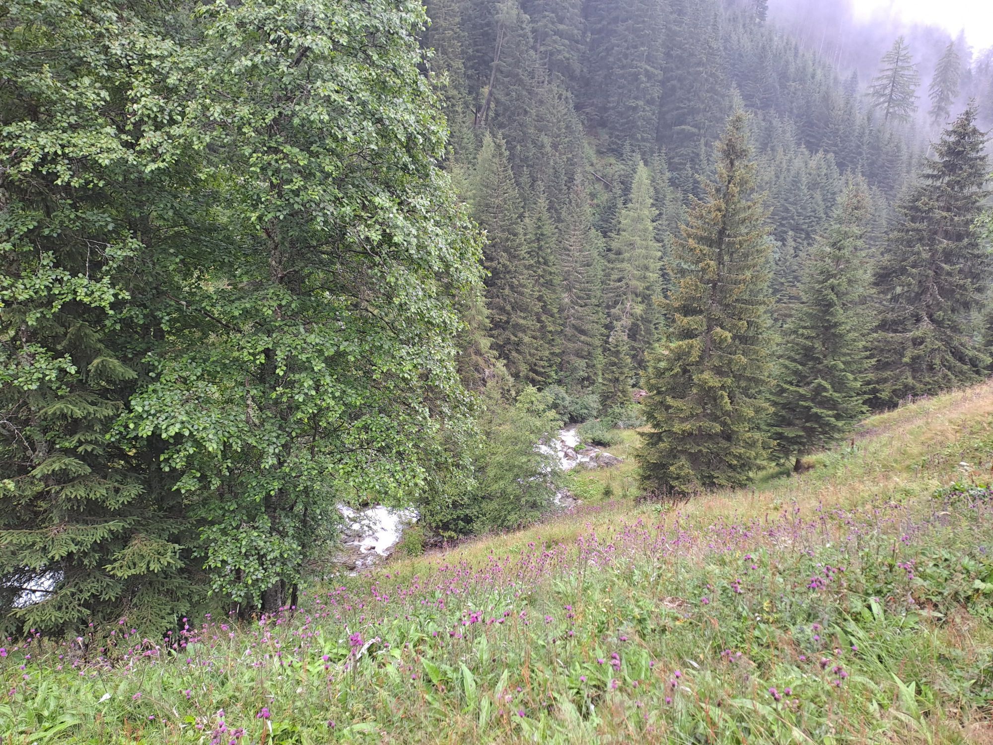
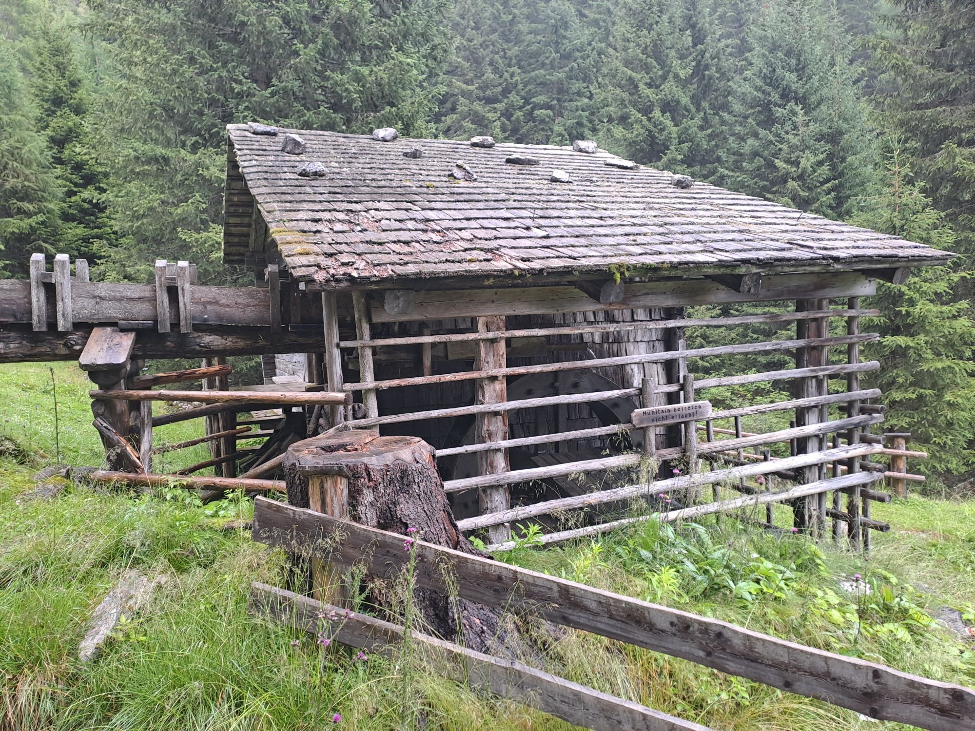
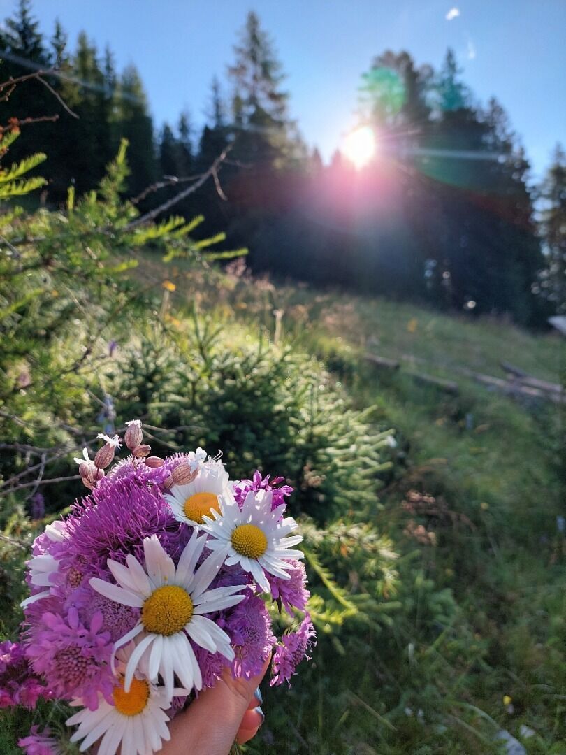
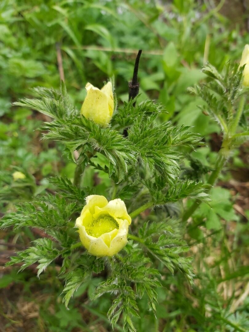
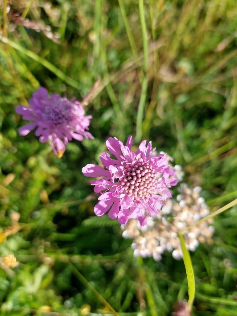
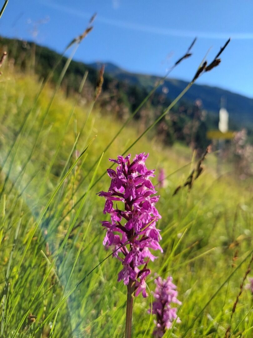
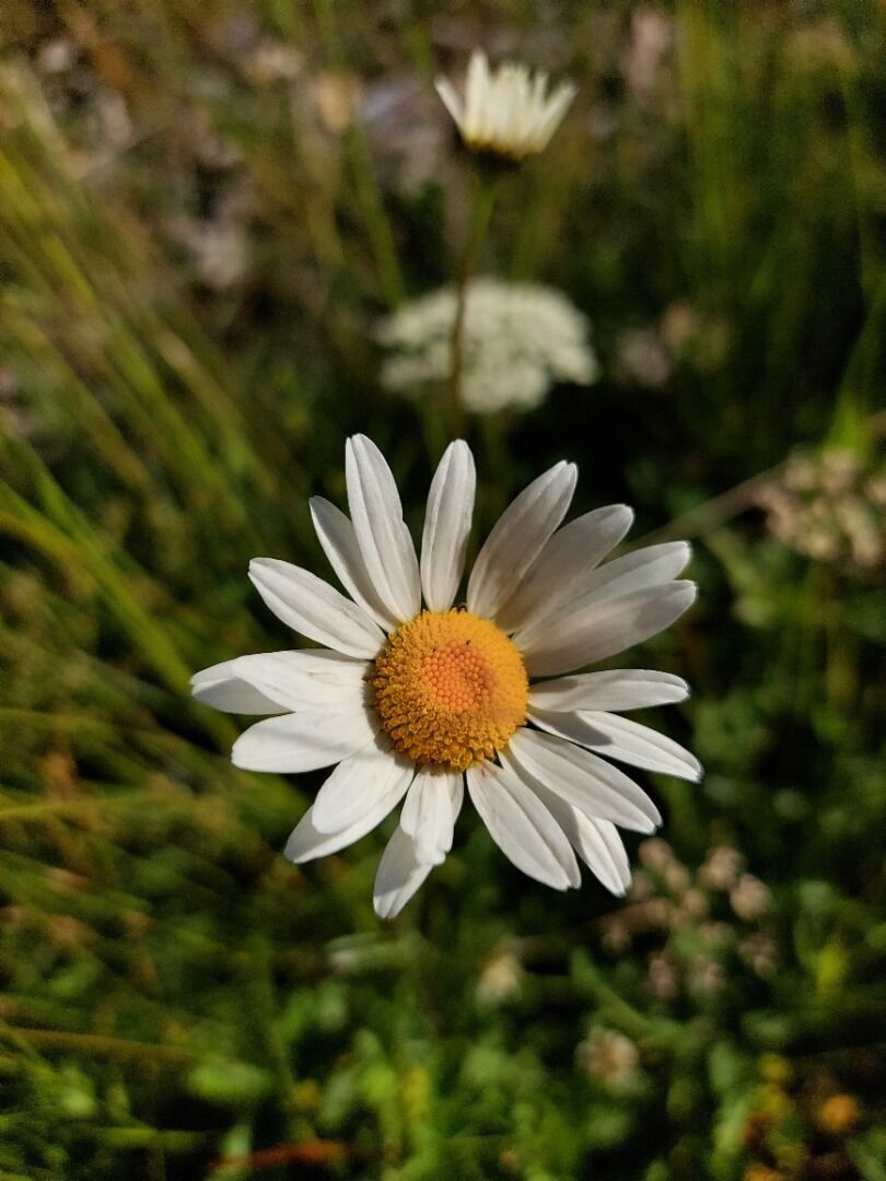
The themed path “Alpenblumenweg Oberseite” provides good insight into the colourful diversity of the alpine plants and their living conditions in the high mountains. The starting point of the hike is Trogach...
Descripción de la
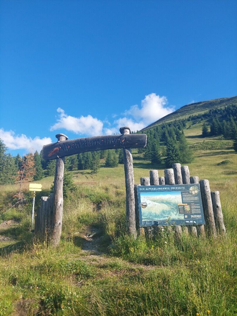
The themed path “Alpenblumenweg Oberseite” provides good insight into the colourful diversity of the alpine plants and their living conditions in the high mountains. The starting point of the hike is Trogach (car park). A forest road and hiking trail lead to the actual starting point of the trail, the “Gasser Kofel”. From there, a moderately ascending hiking trail leads to the Seespitzhütte. From there, a high route runs eastwards (Reggnalm) and then descends into the Trojeralmtal. The same-titled Natural History Guide published by the Austrian Alpine Association offers interesting facts about flora and fauna and the healing properties of some Alpine plants at all stops. (Please note: extensive day trip)
Ruta
Jausenstation Jägerstube
(1.706 m)
Restaurante
0,0 km
Frelitzalm
(2.311 m)
Corredor/terreno
3,6 km
Oberseite Alm
(2.296 m)
Refugio (no gestionado)
7,4 km
Jausenstation Jägerstube
(1.706 m)
Restaurante
14,0 km
Ruta
Themed Path “Alpenblumenweg Oberseite"
medio
Sendero temático
14,20
km
Jausenstation Jägerstube
(1.706 m)
Restaurante
0,0 km
Frelitzalm
(2.311 m)
Corredor/terreno
3,6 km
Oberseite Alm
(2.296 m)
Refugio (no gestionado)
7,4 km
Jausenstation Jägerstube
(1.706 m)
Restaurante
14,0 km
Autor
Proporcionado por TVB Osttirol

Compartir gira
Themed Path “Alpenblumenweg Oberseite"
medio
Sendero temático
14,20
km
Error
Se ha producido un error. Por favor, inténtelo de nuevo.
Último seguimiento
2 hace días

Información de llegada
Llegada
Von St. Jakob in Defereggen über die Serpentinenstraße in den Ortsteil Außerberg und weiter nach Innerberg zum Parkplatz Trogach.
Transporte público
Bushaltestellte St. Jakob i. D. Gemeindeamt
Aparcamiento
Parkplatz Trogach
Valoraciones

Webcams del recorrido
Infórmate
Siempre en directo con más de 9.500 webcams. bergfex Como usuario Pro, ahora puede ver las webcams correspondientes a muchos tours en la app de tours desde. Esto le permite ver las condiciones actuales directamente.
Rutas populares en los alrededores
-
4,8
NaturKraftWeg Umbalfälle
luzSendero temático 5,99 km -
4,8
Circular hike suspension bridge Isel Canyon via "Hohe Bank"
medioSenderismo 8,11 km -
4,8
Antholzer See - Steinzger Alm
medioSenderismo 7,48 km -
4,8
Stoden - Clarahütte
medioSenderismo 7,12 km -
4,9
Oberhausalm - Jagdhaushütte
luzSenderismo 14,0 km -
4,7
Rund um den Antholzer See
luzSenderismo 4,27 km -
4,4
Seespitze
medioSenderismo 13,7 km -
4,6
Rote Wand
medioExcursión de alta montaña 12,0 km -
4,9
Erlsbach Almenrunde zum Klammljoch
medioMountainbike 35,3 km -
4,8
Wiesbauerspitze 2.767 m
medioSenderismo 9,66 km
Senderismo y rastreo

Más de 550.000 sugerencias de excursiones, mapas detallados y un intuitivo planificador de rutas hacen de esta aplicación una herramienta imprescindible para todos los amantes de la naturaleza.

No se pierda las ofertas y la inspiración para sus próximas vacaciones
Suscribirse al boletín de noticias
Error
Se ha producido un error. Por favor, inténtelo de nuevo.
Gracias por inscribirse
Su dirección de correo electrónico se ha añadido a la lista de correo.
Viajes por Europa
Austria
Suiza
Alemania
Italia
Eslovenia
Francia
Países Bajos
Belgium
Polonia
Liechtenstein
República Checa
Slovakia
España
Croacia
Bosnia y Herzegovina
Luxemburgo
Andorra
Portugal
Iceland
United Kingdom
Ireland
Greece
Albania
North Macedonia
Malta
Norway
Montenegro
Moldova
Kosovo
Hungary
San Marino
Romania
Estonia
Latvia
Belarus
Cyprus
Lithuania
Serbia
Bulgaria
Monaco
Denmark
Sweden
Finland





