
BH2 Osterndorf cross-country ski trail
luz
Consigue este tour en tu móvil
BH2 Osterndorf cross-country ski trail
luz
Esquí de travesía
1,15
km
Escanee el código QR e inicie la navegación en la aplicación bergfex


Senderismo y rastreo





BH2 Osterndorf cross-country ski trail
luz
Distancia
1,15
km
Duración
00:13
h
Ascenso
4
m
Nivel del mar
576 -
584
m

Navega por tu recorrido en la aplicación
Instala la aplicación de forma gratuita y no pierdas de vista la ruta, con navegación por GPS y seguimiento.
Usa ya « bergfex » en la aplicación
Escanea el código QR con tu cámara
Una vez instalada la aplicación, el contenido se abre directamente. Si aún no tienes la aplicación, podrás descargarla de forma gratuita.
Descarga de pistas
BH2 Osterndorf cross-country ski trail
luz
Esquí de travesía
1,15
km
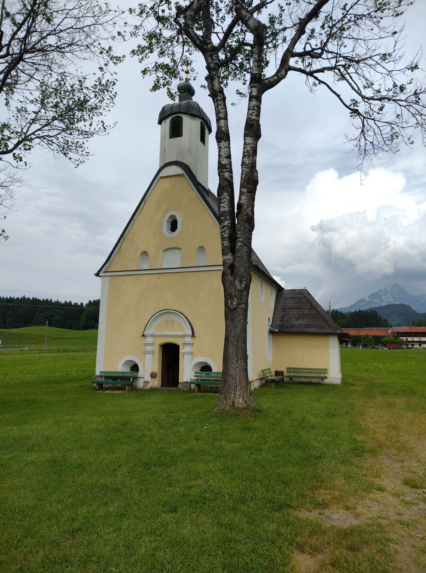
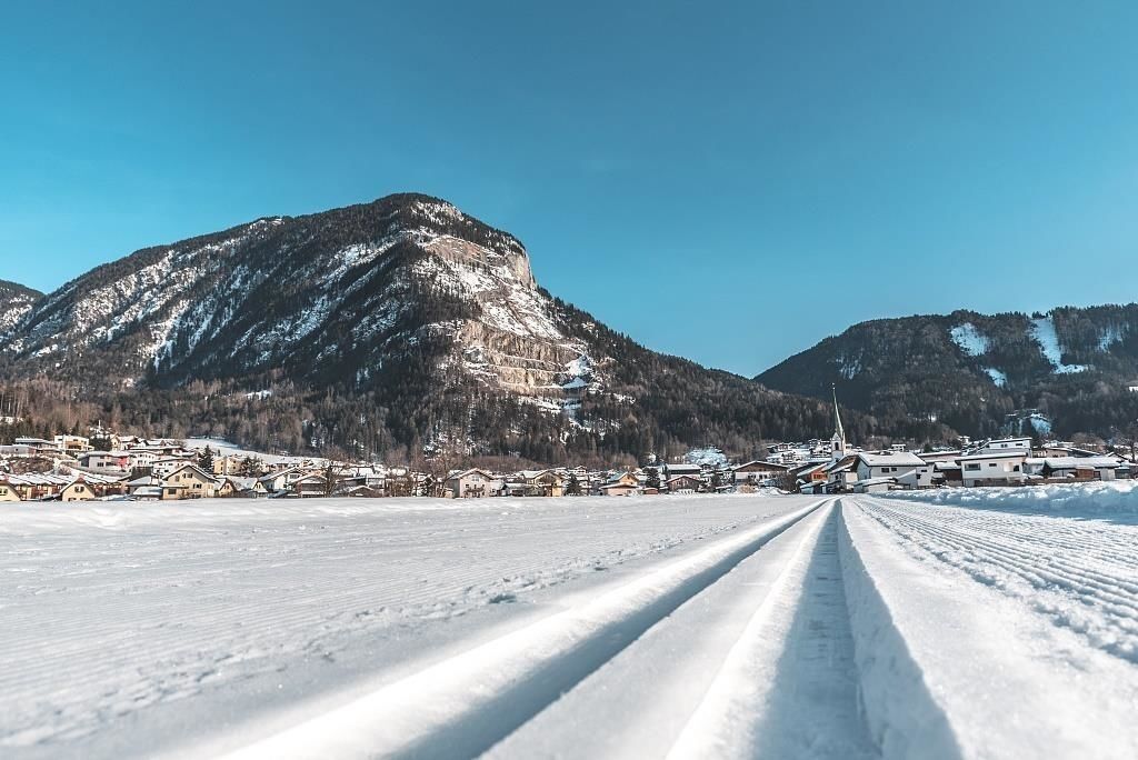
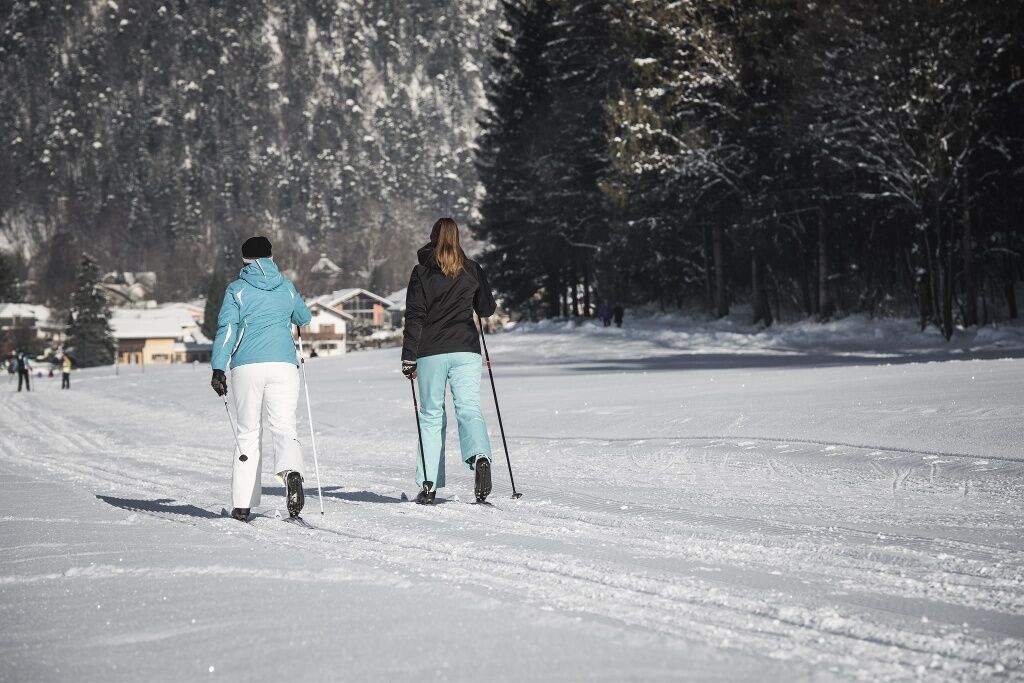
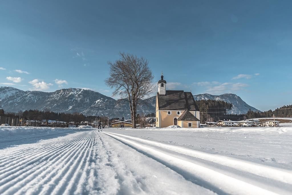
On this scenic loop, you run through the fields all the way to the hamlet of Osterndorf, hence the name. It can also be easily combined with the Dorf-Runde and thus extended.
Ruta
Bad Häring
(590 m)
Pueblo
0,4 km
Osterndorf
(579 m)
Liquidación
0,7 km
Antoniuskapelle
(577 m)
Lugar de culto
0,9 km
Ruta
BH2 Osterndorf cross-country ski trail
luz
Esquí de travesía
1,15
km
Bad Häring
(590 m)
Pueblo
0,4 km
Osterndorf
(579 m)
Liquidación
0,7 km
Antoniuskapelle
(577 m)
Lugar de culto
0,9 km
Autor
Proporcionado por Tourismusverband Kufsteinerland
Compartir gira
BH2 Osterndorf cross-country ski trail
luz
Esquí de travesía
1,15
km
Error
Se ha producido un error. Por favor, inténtelo de nuevo.

Información de llegada
Llegada
By car via the L208 to the Bad Häring sports field.
Transporte público
With the Regiobus line 4026 to the stop Bad Häring Dorf. With the KufsteinerlandCard within the region bus free of charge.
Aparcamiento
Bad Häring sports field, free of charge.
Aún no hay opiniones
Rutas populares en los alrededores
-
4,3
Rosskopf
luzSenderismo 7,02 km -
4,9
Route 209: Brechhornhaus-Choralpe
pesadoMountainbike 24,4 km -
3,2
Kundler Klamm
luzSenderismo 6,33 km -
4,7
Musikantensteig zur Naunspitze
medioSenderismo 8,96 km -
4,7
Hintersteinersee
medioSenderismo 9,87 km -
4,8
Rehbachklamm
medioSenderismo 7,27 km -
4,6
Über Hintersteinersee und Walleralm aufs Hochegg
luzSenderismo 12,2 km -
4,6
Wanderung um den Hintersteinersee
luzSenderismo 5,29 km -
4,4
Bergdoktor Wohnhaus "Gruberhof" (Köpfing Hof) Rundeweg-Söll
luzSenderismo 8,70 km -
4,4
Hochsöller Runde
luzSenderismo 7,98 km
Senderismo y rastreo

Más de 550.000 sugerencias de excursiones, mapas detallados y un intuitivo planificador de rutas hacen de esta aplicación una herramienta imprescindible para todos los amantes de la naturaleza.

No se pierda las ofertas y la inspiración para sus próximas vacaciones
Suscribirse al boletín de noticias
Error
Se ha producido un error. Por favor, inténtelo de nuevo.
Gracias por inscribirse
Su dirección de correo electrónico se ha añadido a la lista de correo.
Viajes por Europa
Austria
Suiza
Alemania
Italia
Eslovenia
Francia
Países Bajos
Belgium
Polonia
Liechtenstein
República Checa
Slovakia
España
Croacia
Bosnia y Herzegovina
Luxemburgo
Andorra
Portugal
Iceland
United Kingdom
Ireland
Greece
Albania
North Macedonia
Malta
Norway
Montenegro
Moldova
Kosovo
Hungary
San Marino
Romania
Estonia
Latvia
Belarus
Cyprus
Lithuania
Serbia
Bulgaria
Monaco
Denmark
Sweden
Finland





