






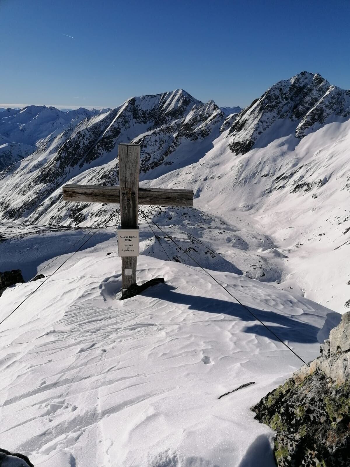
Seewandkopf 3.024m
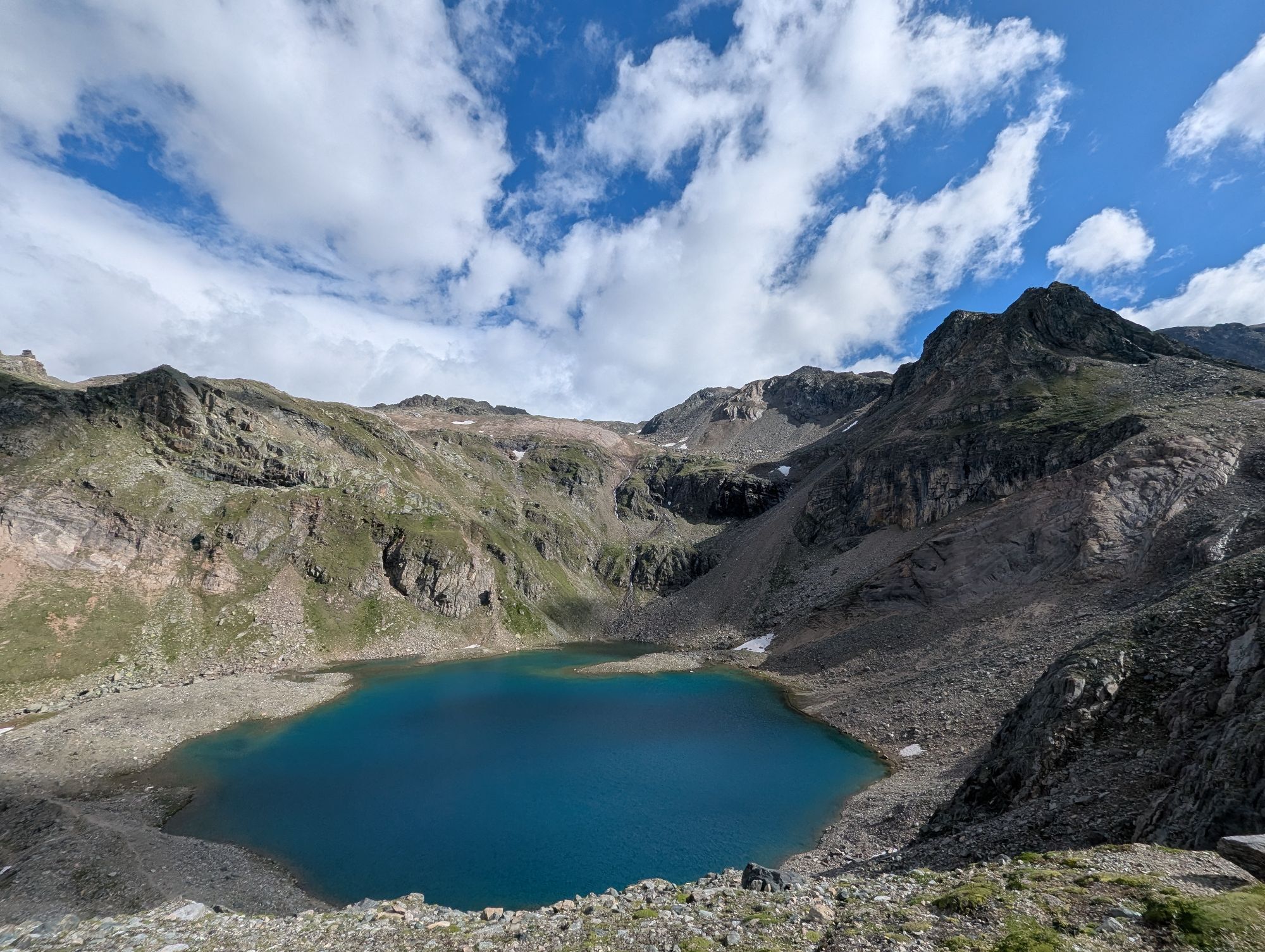
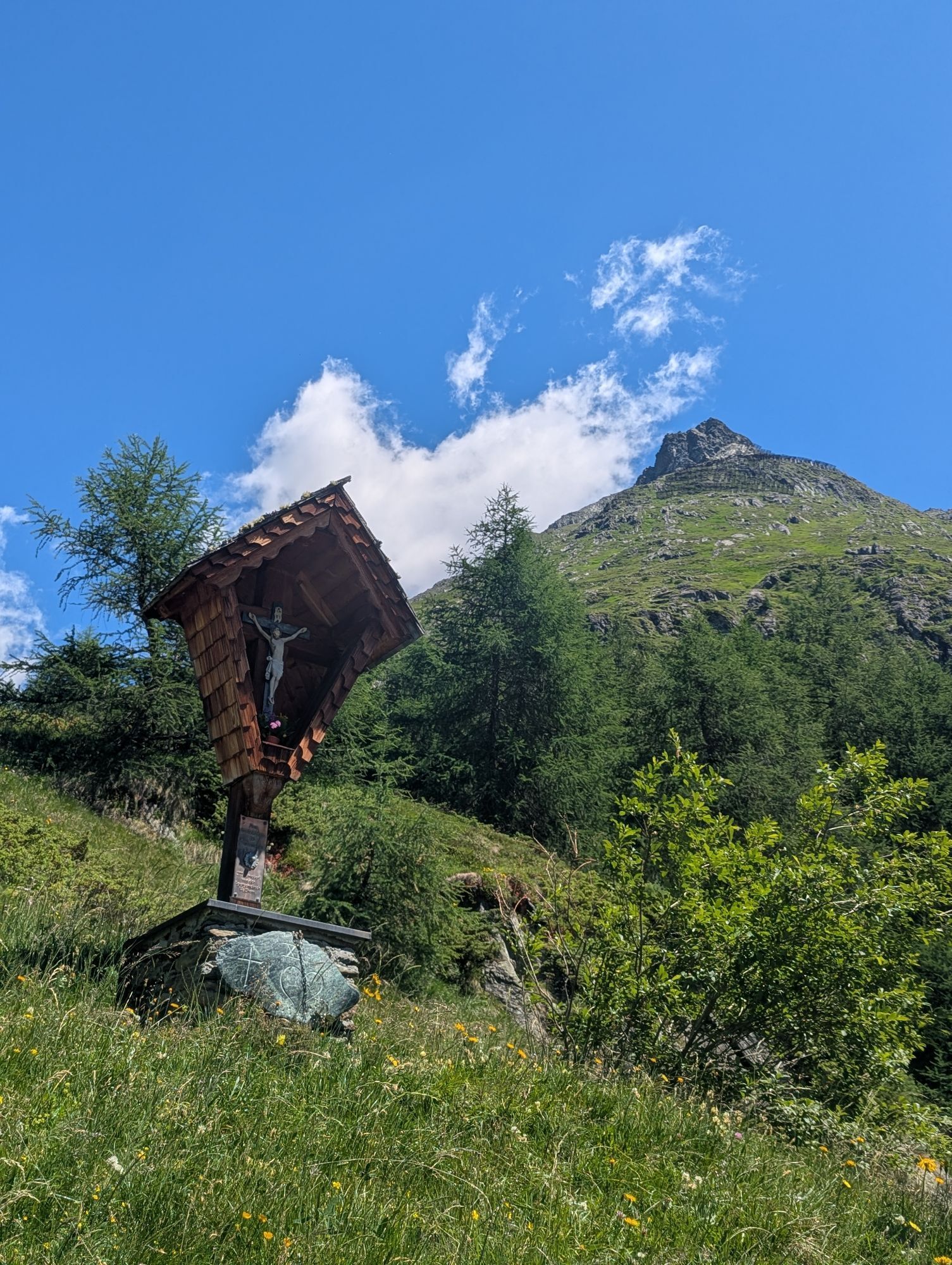
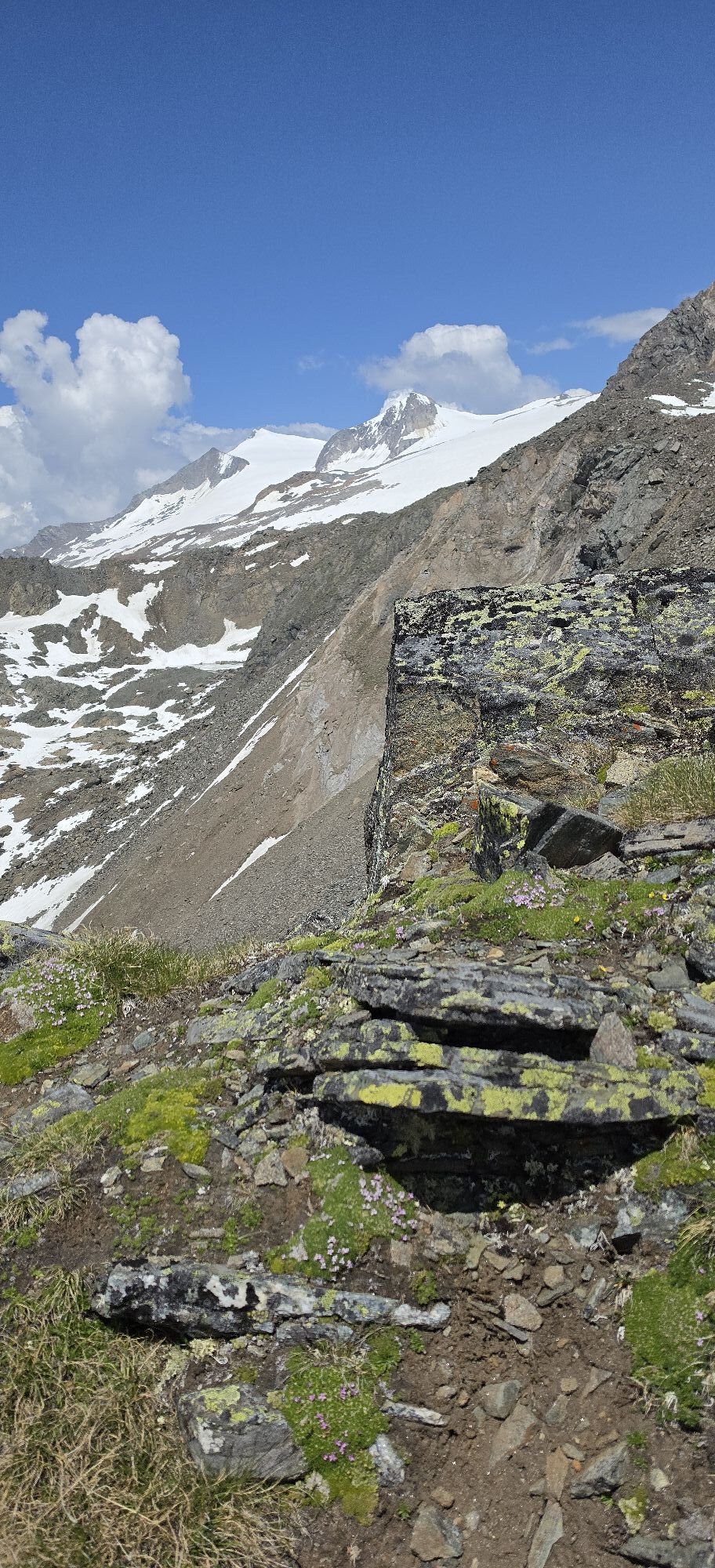
The ascent starts at the chapel in the Wallhorn district (1,400 m) and follows the ‘Einheimischen-Aufstieg’ (locals' ascent) via the ‘Hazer Riese’. This ascent uses the summer trail (signposted Bodenalm)...
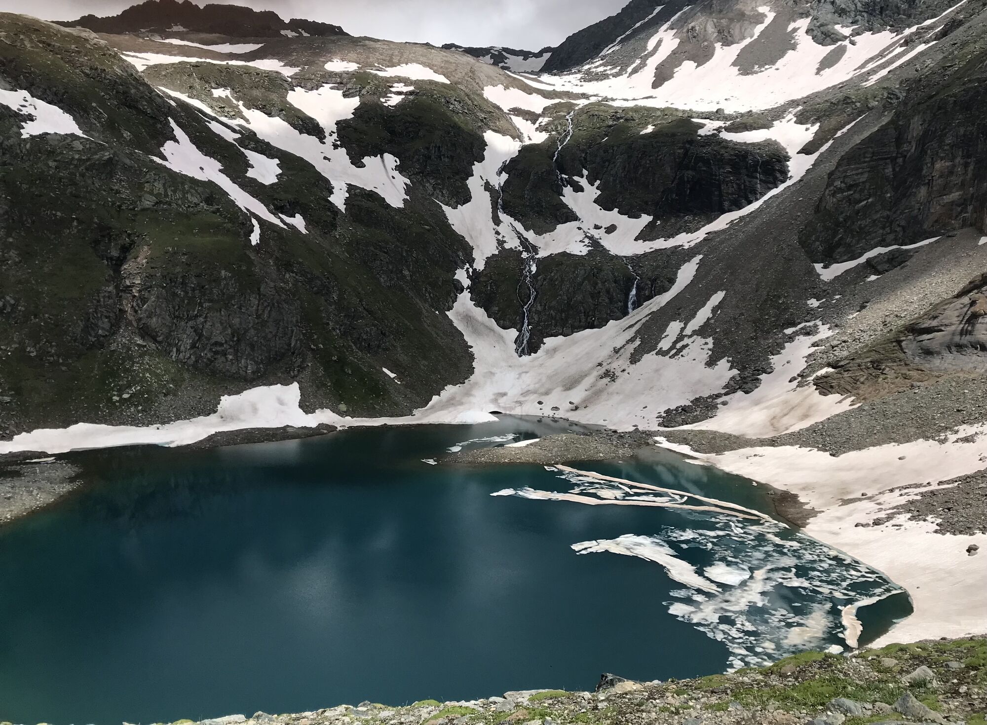
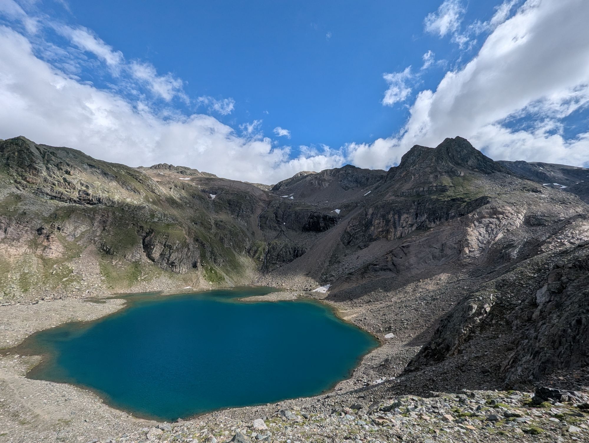
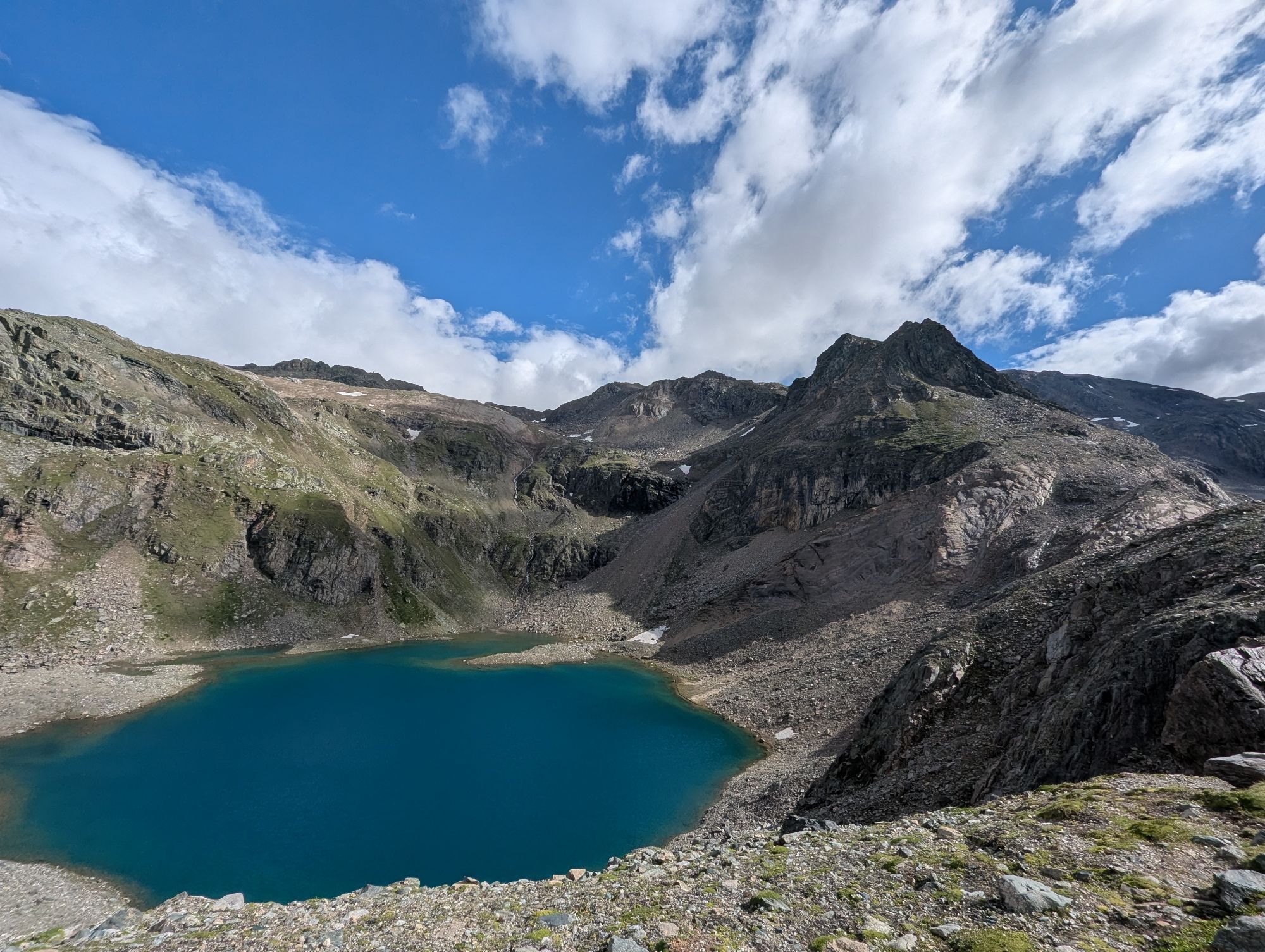
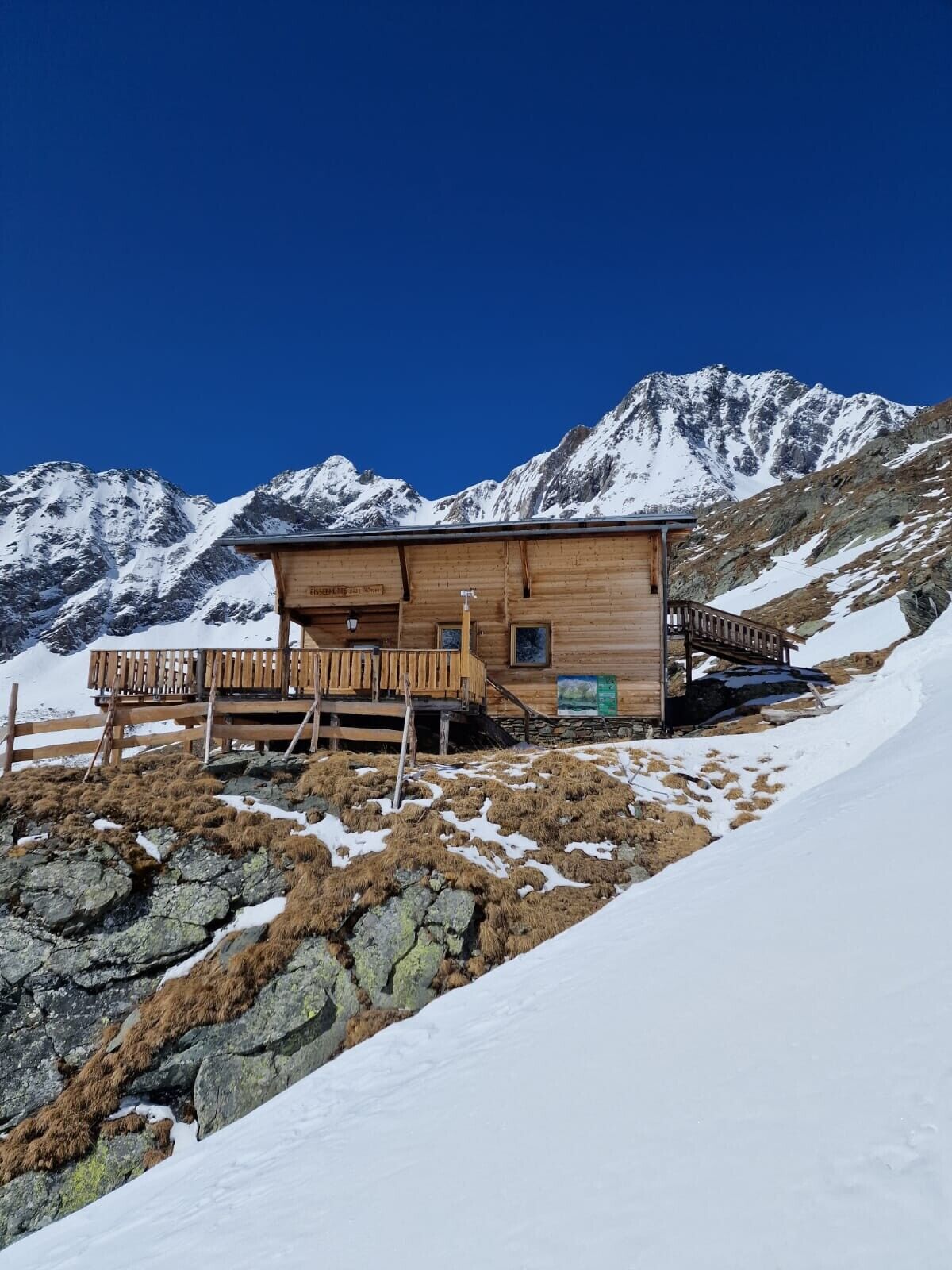
The ascent starts at the chapel in the Wallhorn district (1,400 m) and follows the ‘Einheimischen-Aufstieg’ (locals' ascent) via the ‘Hazer Riese’. This ascent uses the summer trail (signposted Bodenalm) and, after a few hairpin bends and curves in the forest, reaches the Grieser Alm. At an iron gate, we rejoin the road after a short stretch of meadow. Taking a shortcut through the forest, we reach the Bodenalm (1,948 m). At the end of the road, signposts guide us along the summer trail into the Timmeltal valley. We cross an icy stream with caution before south-facing slopes lead us to a wooden cross. A slightly descending traverse now takes us down to the valley floor and across the ground. The Eisseehütte (2,500 m) is already visible from a distance as we head towards the hut via a system of gullies and hollows to the left (west side) of the stream. The route now continues eastwards to the moraine ridge and crosses slightly downhill at 2,700 m into a small high valley. From the moraine cone, we take the steep slope on the left, which should not be underestimated due to its steepness and orientation (SSE).
Further ski touring tips can be found in Thomas Mariacher's ski touring guides, available at https://www.tyroliaverlag.at/item/Skitouren_in_Osttirol_und_Oberkaernten/Thomas_Mariacher/43058387.


Bus stop Prägraten am Großvenediger Wallhorn
Parkplatz Kapelle Wallhorn 1.450m
Webcams del recorrido
Infórmate
Siempre en directo con más de 9.500 webcams. bergfex Como usuario Pro, ahora puede ver las webcams correspondientes a muchos tours en la app de tours desde. Esto le permite ver las condiciones actuales directamente.
Rutas populares en los alrededores
-
4,8
NaturKraftWeg Umbalfälle
luzSendero temático 5,99 km -
4,1
Gletscherlehrweg Innergschlöß
medioSenderismo 9,36 km -
4,5
Circular hike Proßeggklamm
medioSenderismo 8,41 km -
4,6
Vom Matreier Tauernhaus über die Felsenkapelle nach Innergschlöss
luzSenderismo 9,19 km -
4,8
Stoden - Clarahütte
medioSenderismo 7,12 km -
4,8
Circular hike suspension bridge Isel Canyon via "Hohe Bank"
medioSenderismo 8,11 km -
4,7
Wiesbauerspitze 2.767 m
medioSenderismo 9,66 km -
4,1
Habachtal bis zur Thüringer Hütte
Senderismo 6,53 km -
4,3
Seespitze
medioSenderismo 13,7 km -
3,4
Krimmler Tauernhaus - Cabaña Warnsdorfer - Gamsspitzl
pesadoSenderismo 10,5 km
Senderismo y rastreo


No se pierda las ofertas y la inspiración para sus próximas vacaciones
Su dirección de correo electrónico se ha añadido a la lista de correo.





