
Ski tour Marchkinkele 2.553m (from Innervillgraten)
medio
Consigue este tour en tu móvil
Ski tour Marchkinkele 2.553m (from Innervillgraten)
medio
Esquí de travesía
6,91
km
Escanee el código QR e inicie la navegación en la aplicación bergfex


Senderismo y rastreo





Ski tour Marchkinkele 2.553m (from Innervillgraten)
medio
Distancia
6,91
km
Duración
04:00
h
Ascenso
1.131
m
Nivel del mar
1.358 -
2.526
m
Descarga de pistas
Ski tour Marchkinkele 2.553m (from Innervillgraten)
medio
Esquí de travesía
6,91
km
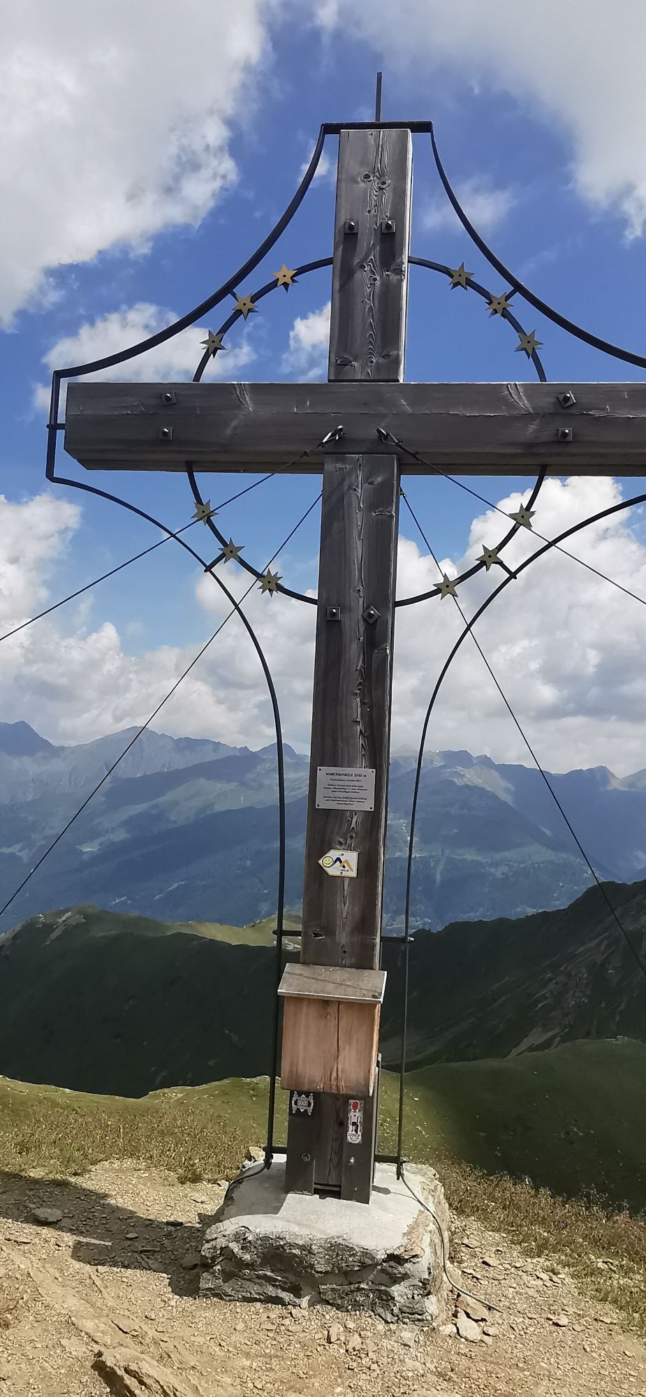
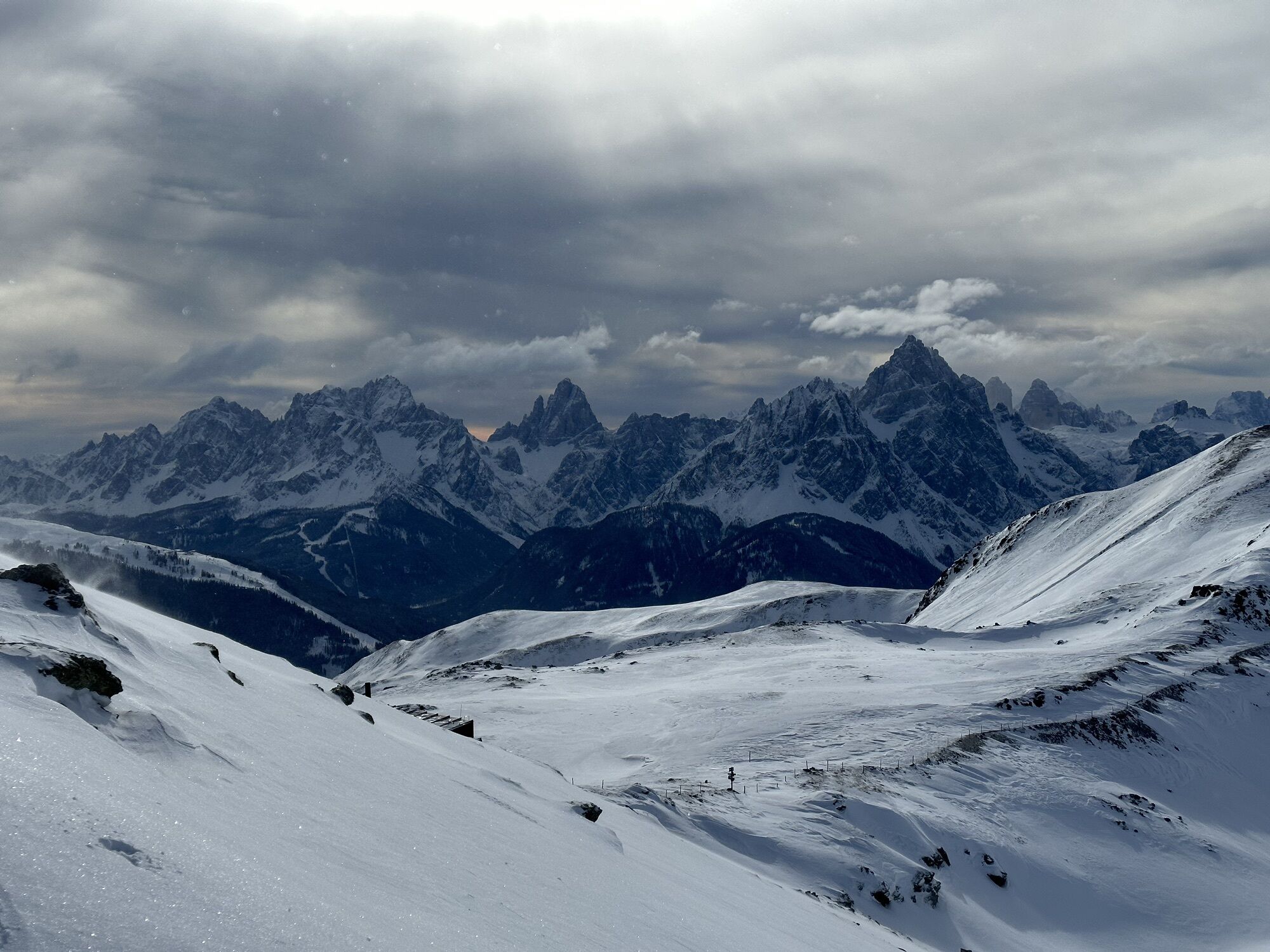
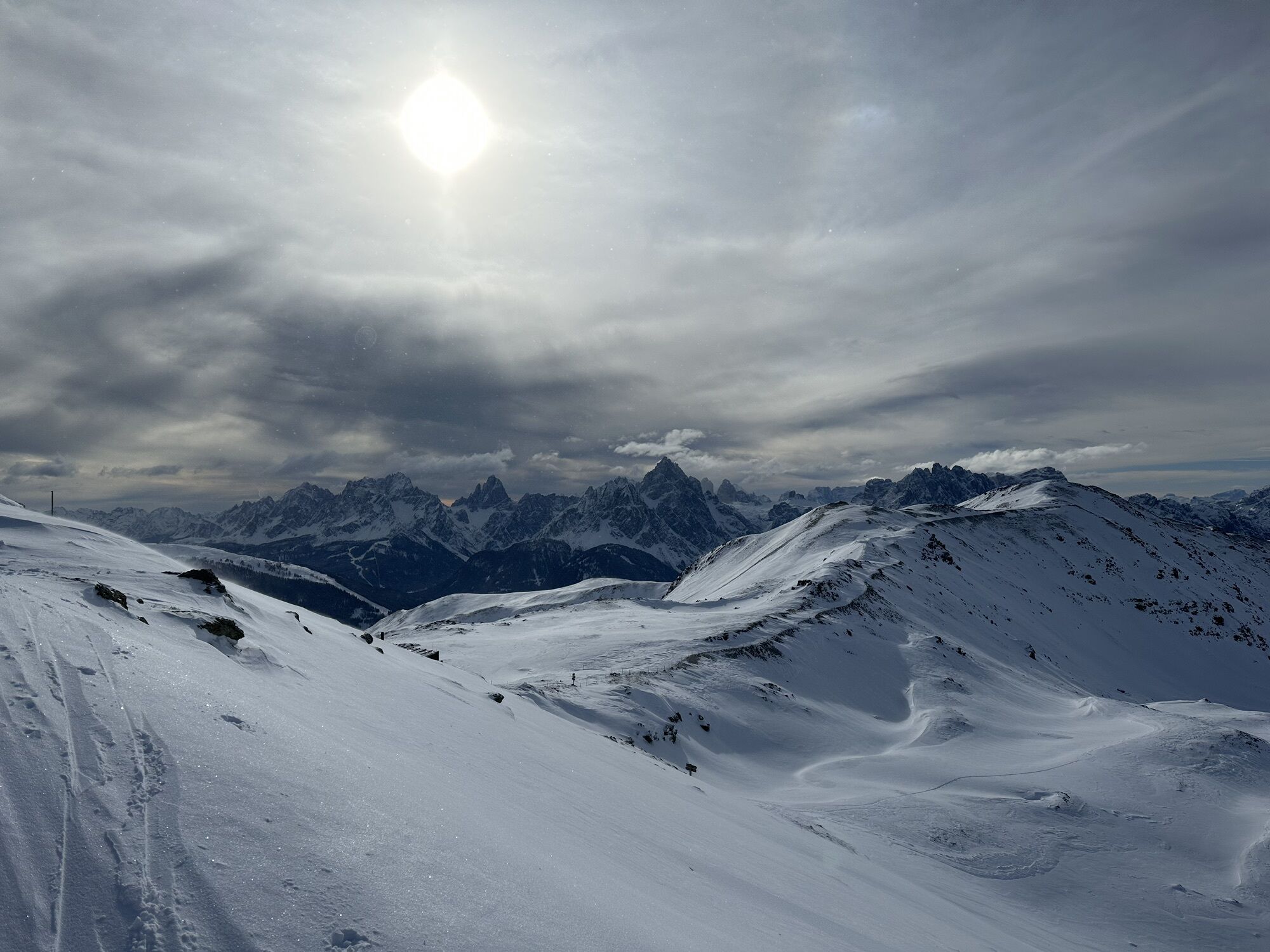
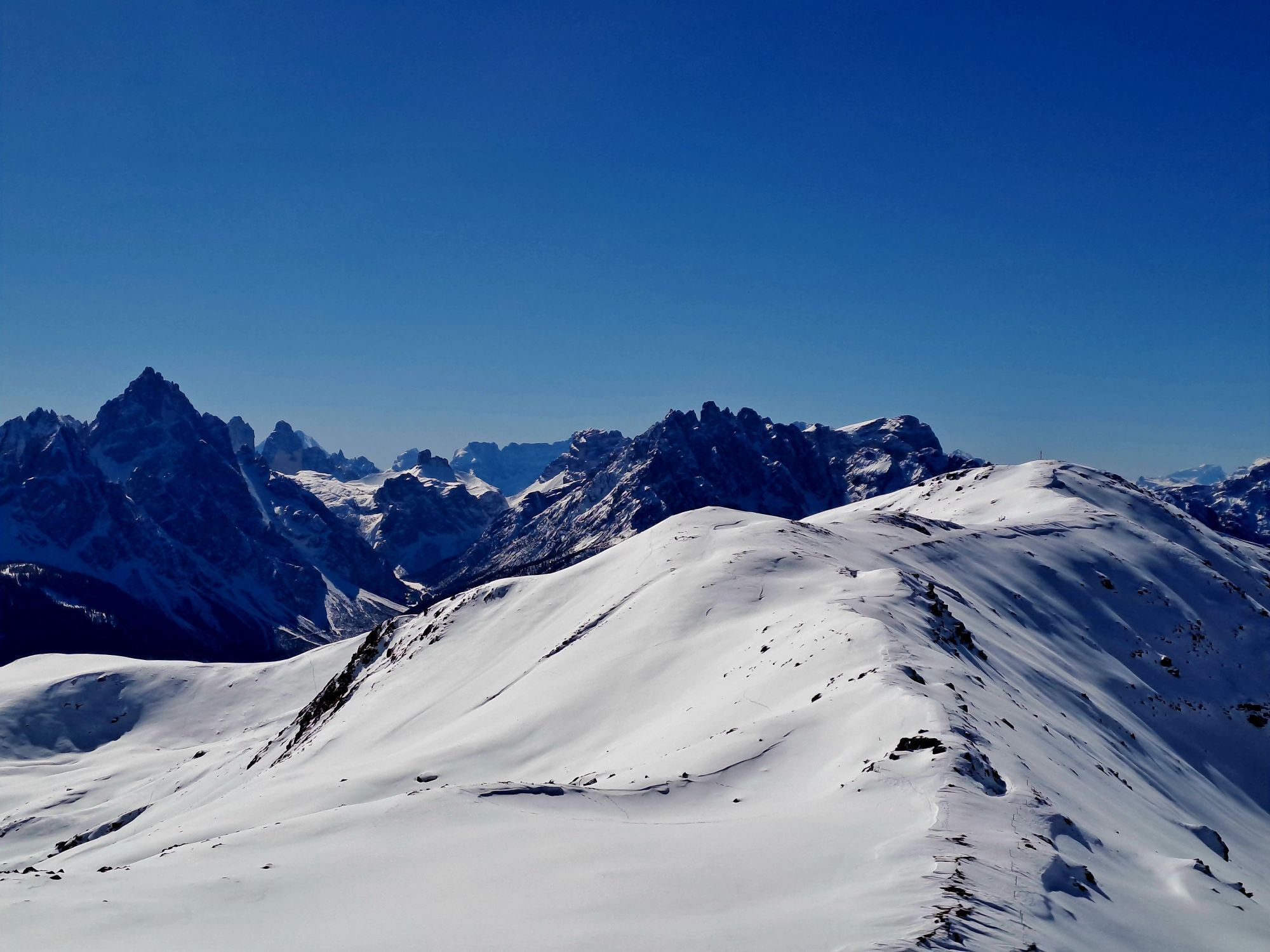
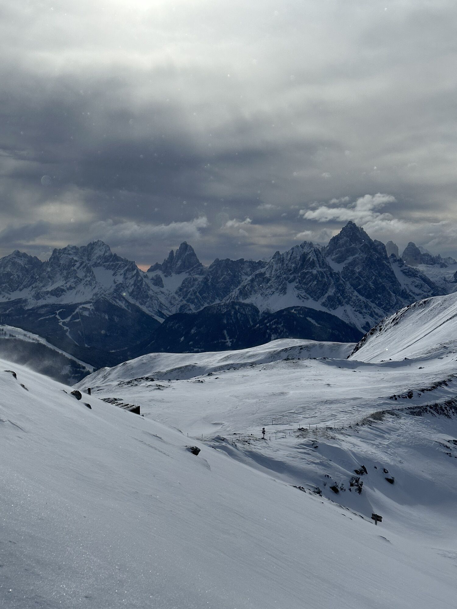
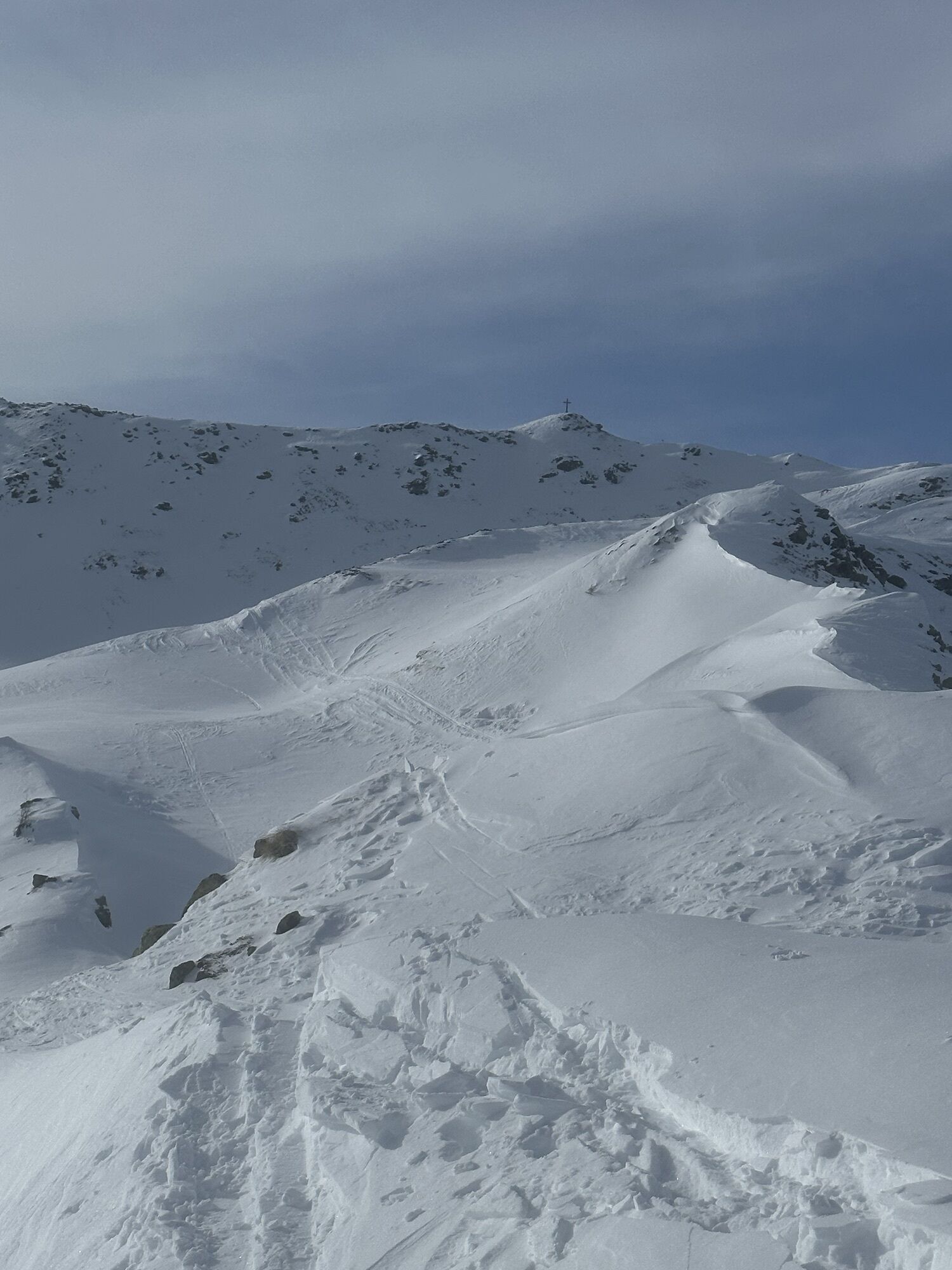
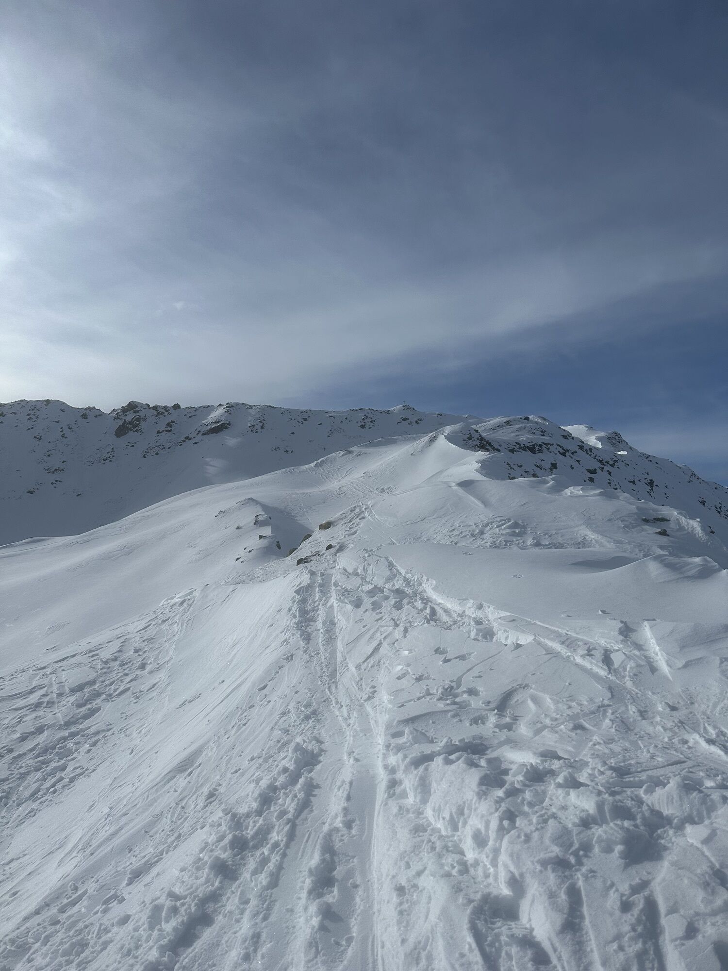
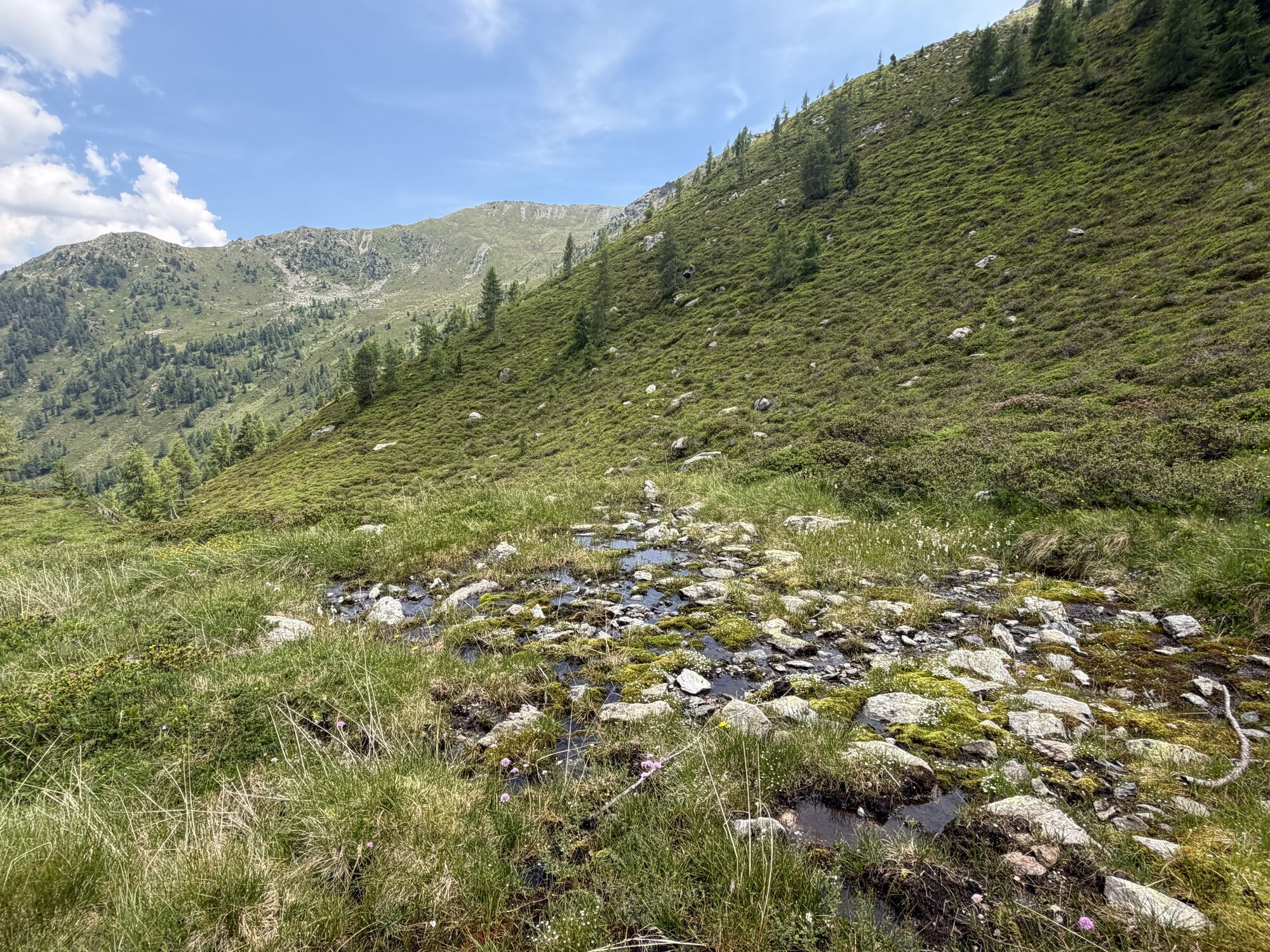
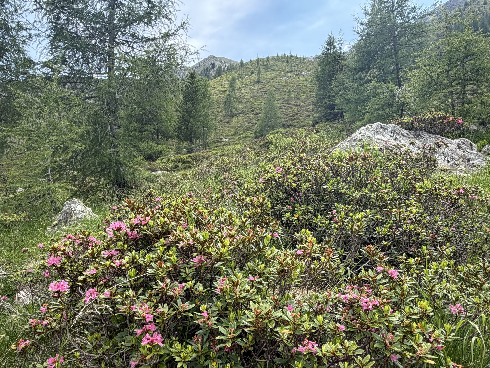
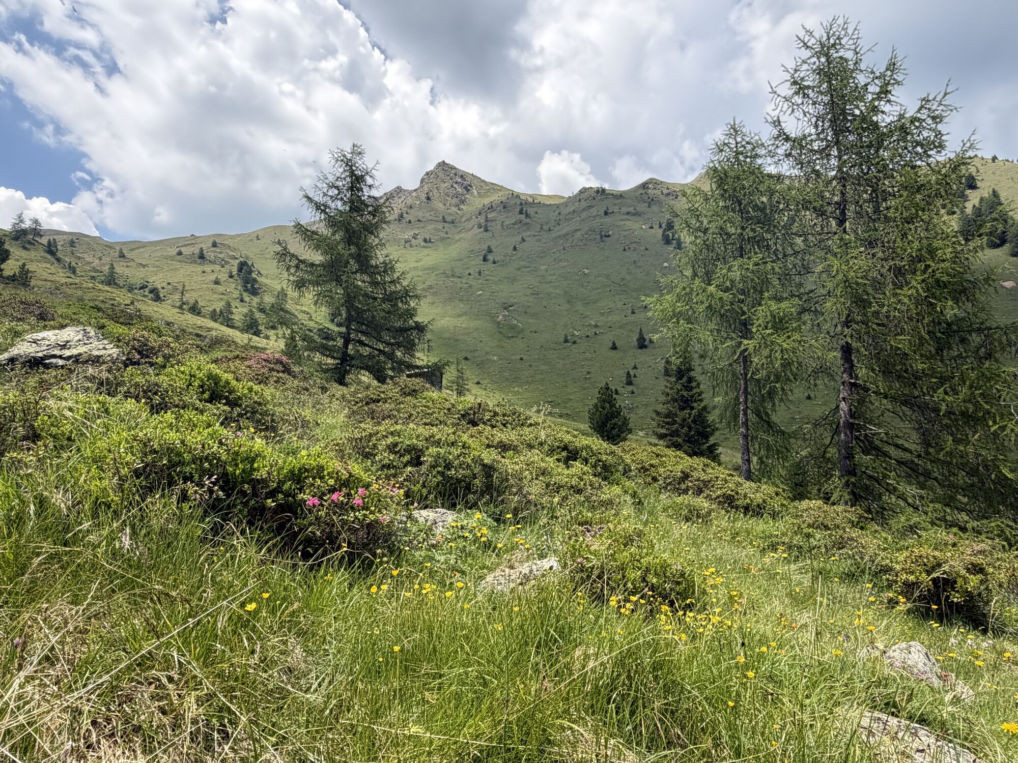
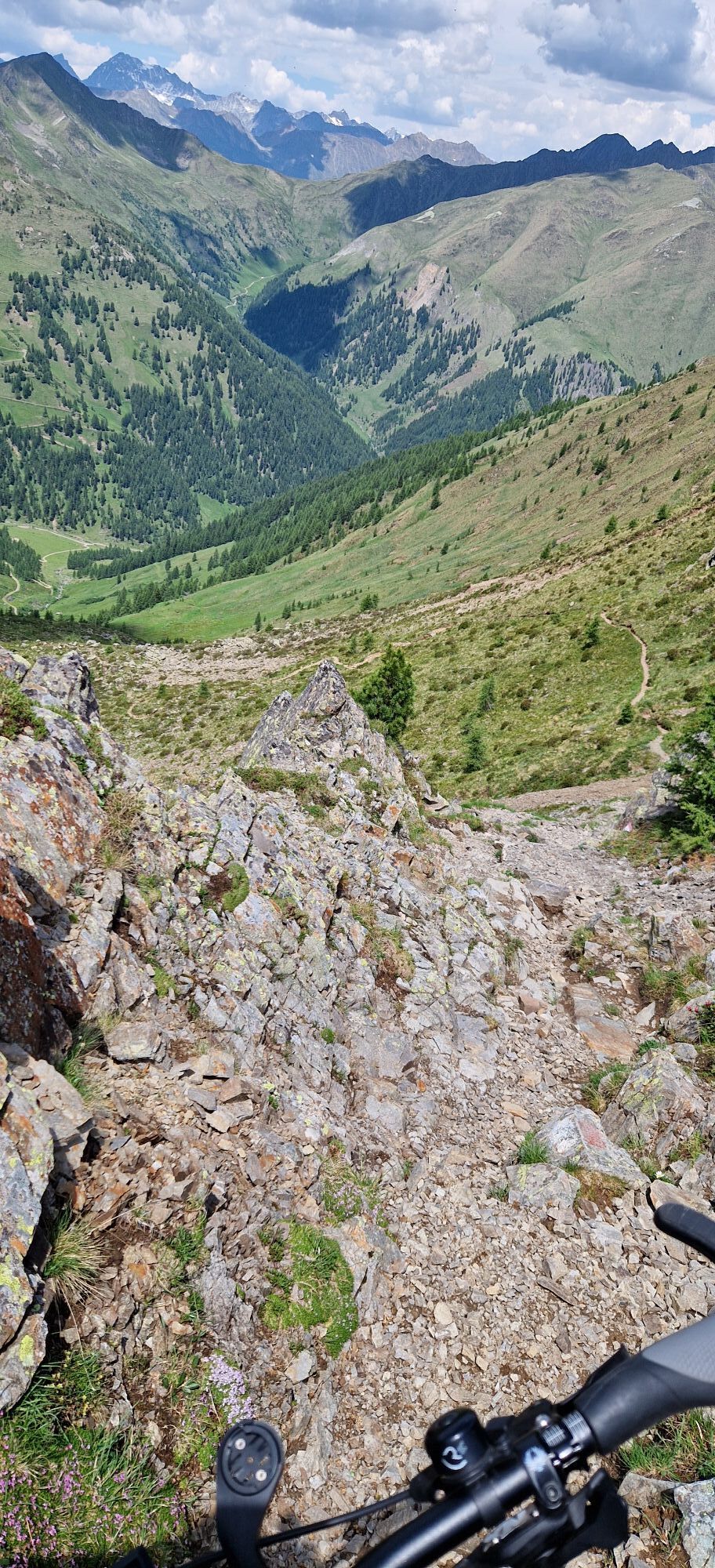
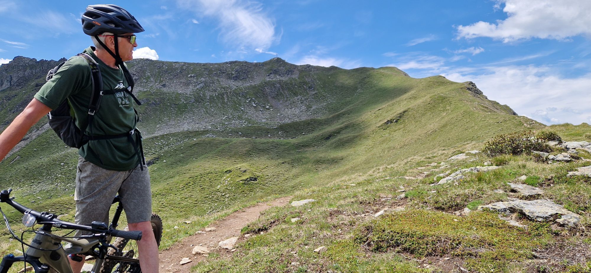
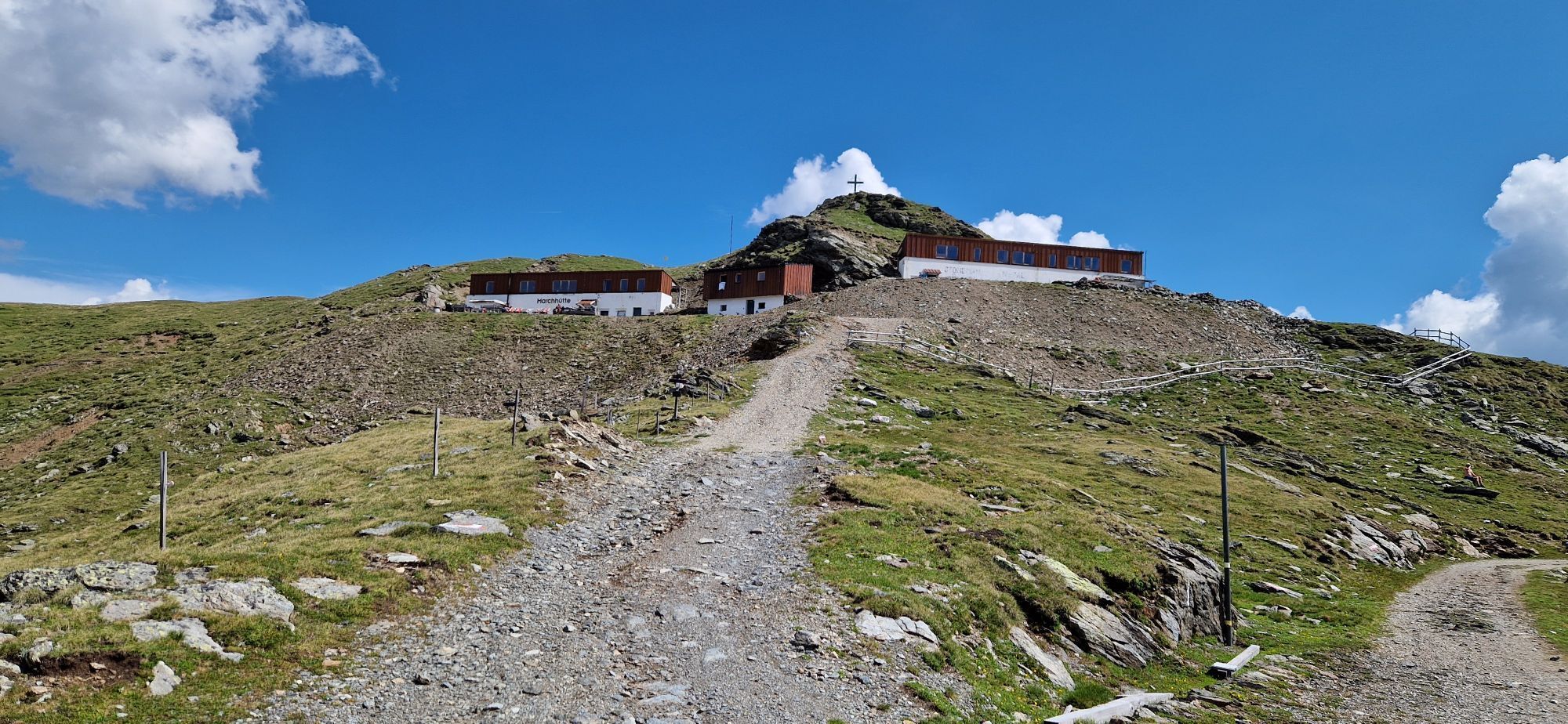
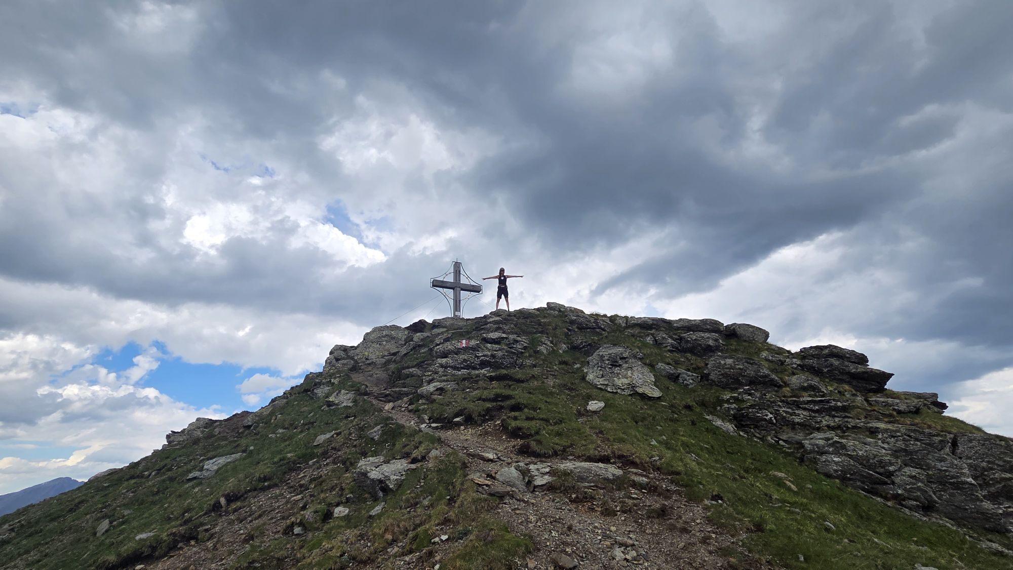
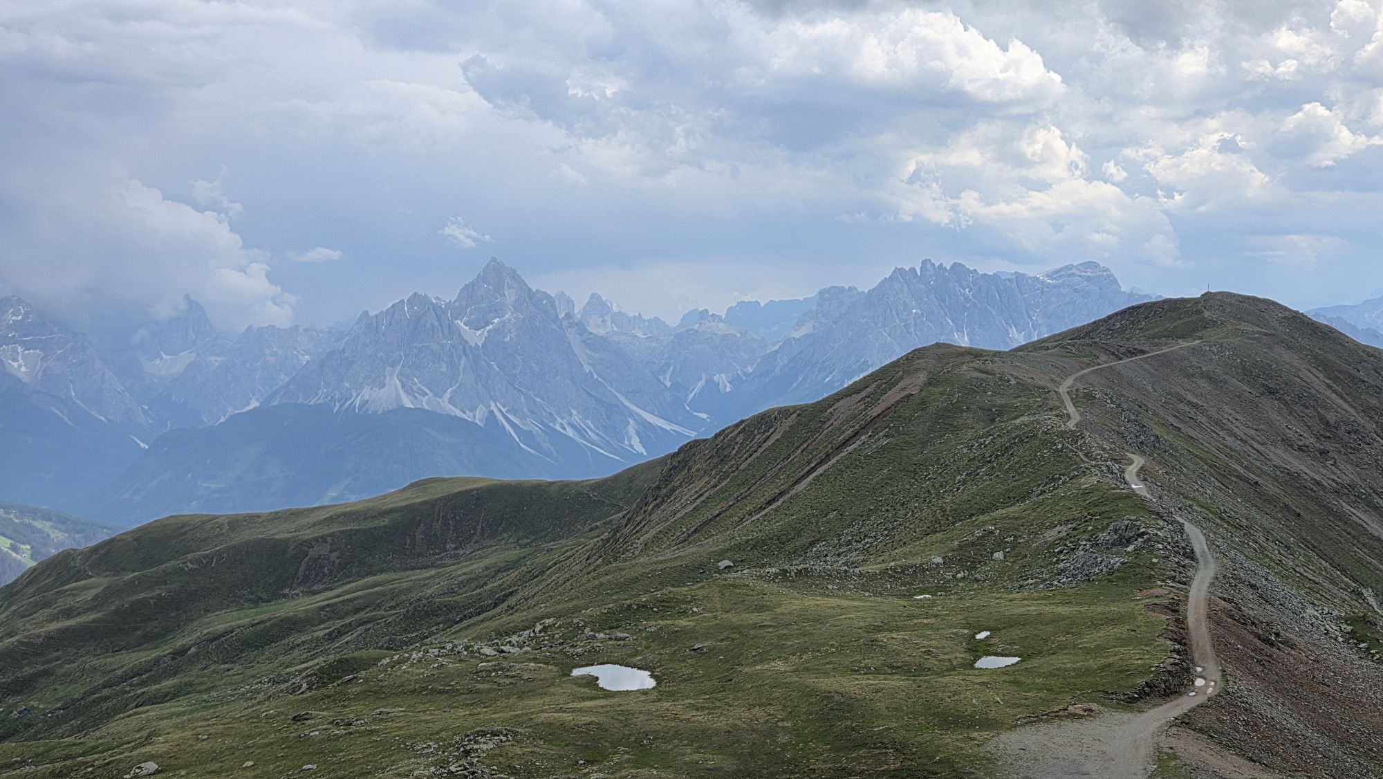
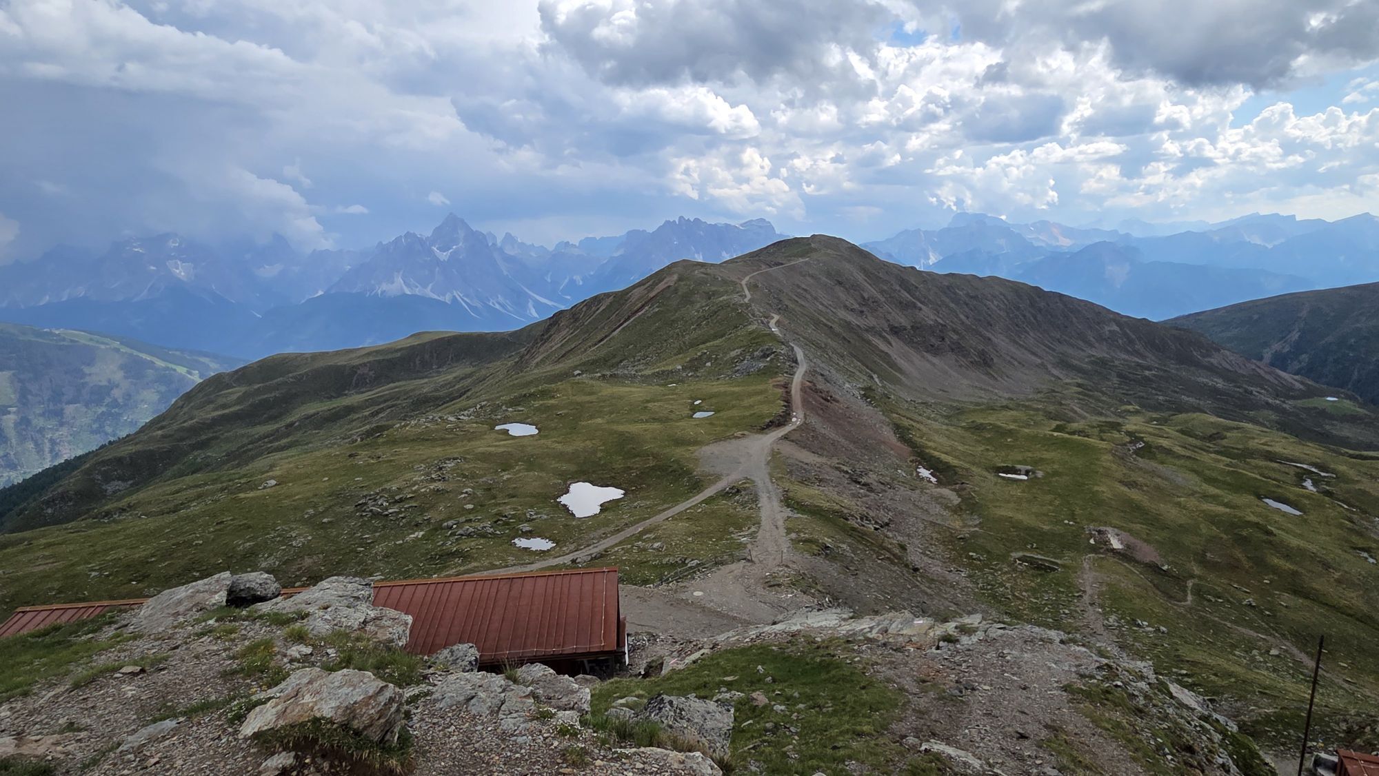
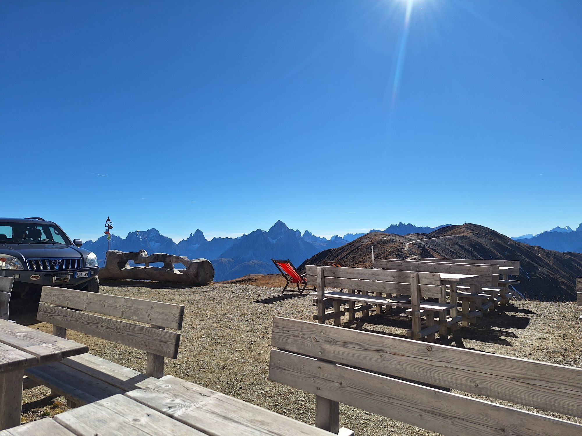
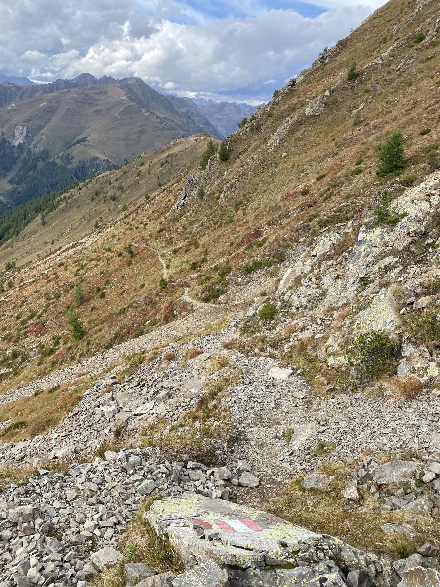
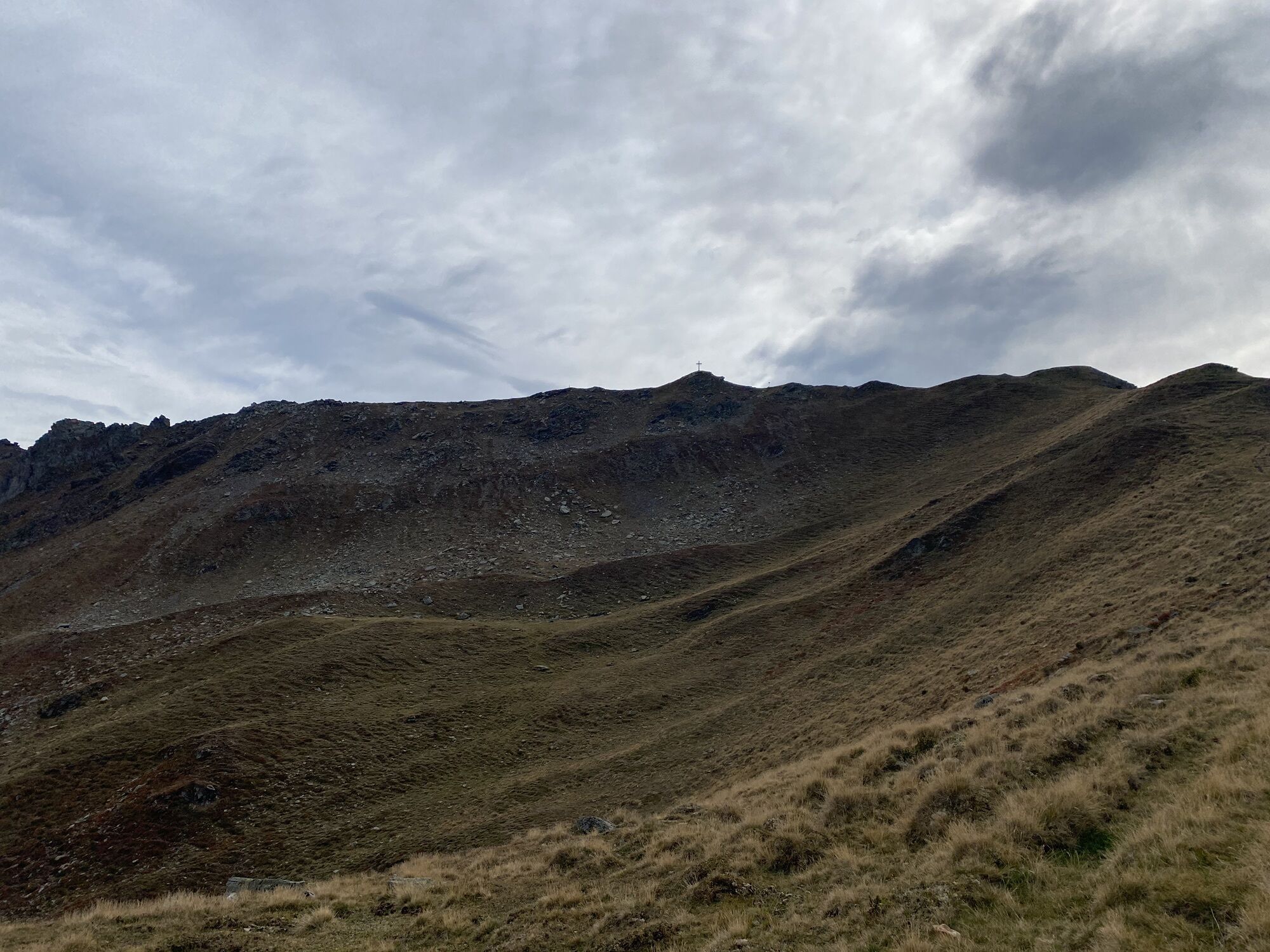
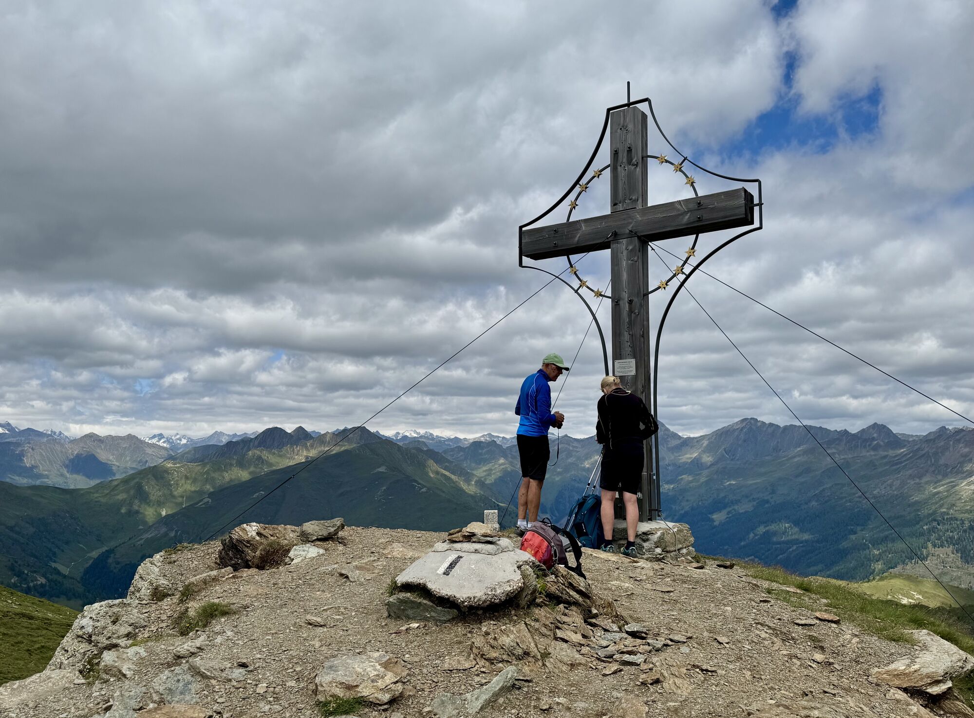
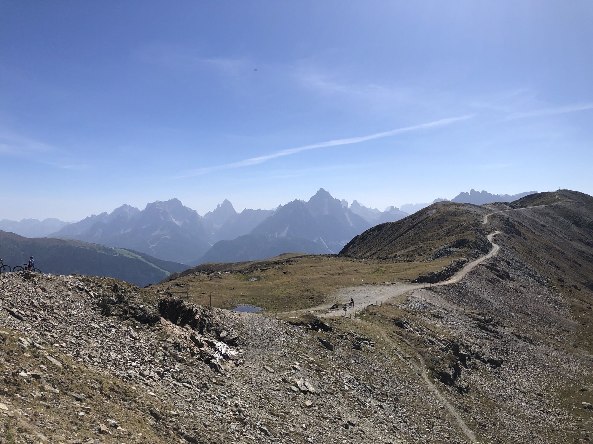
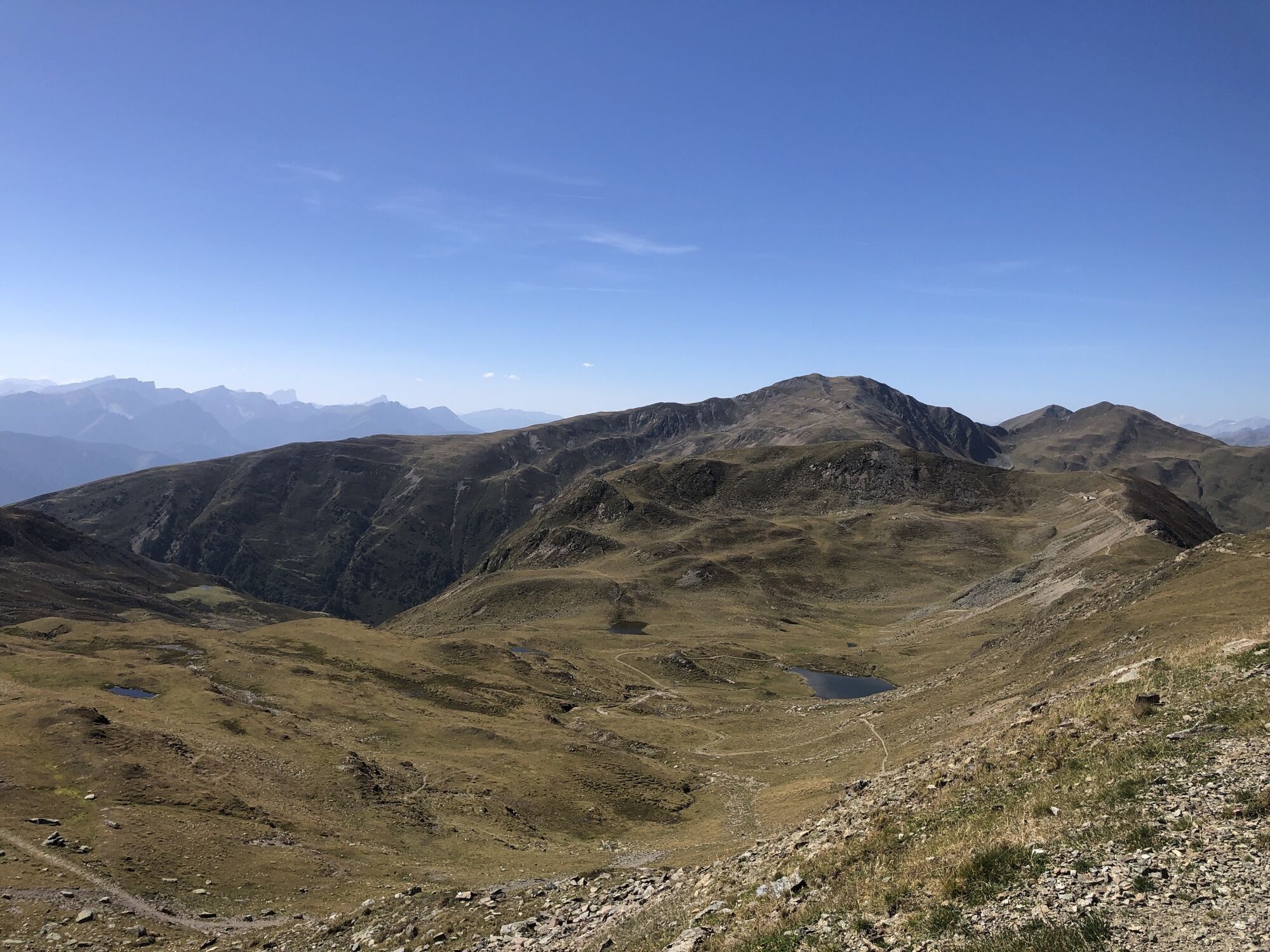
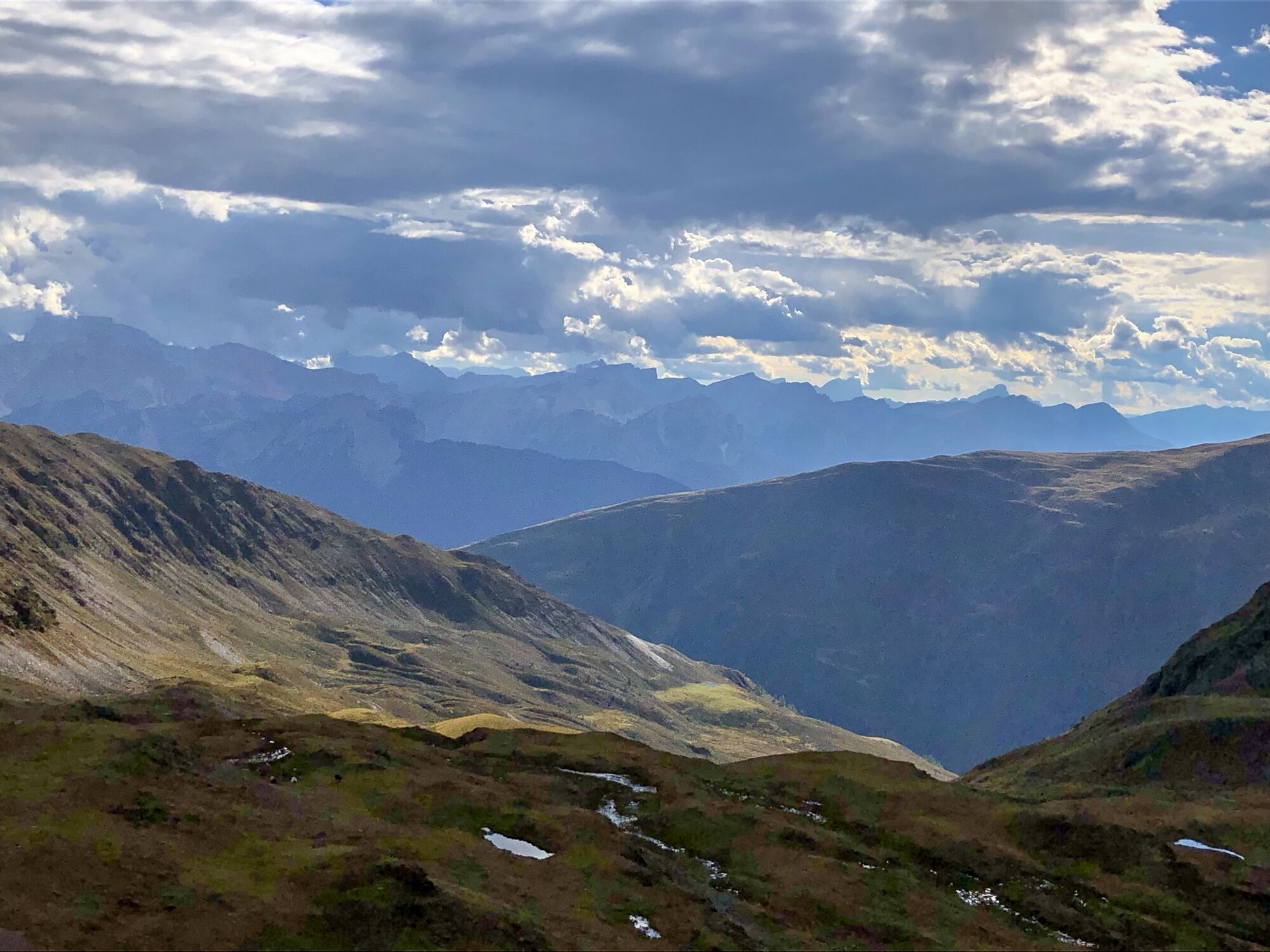
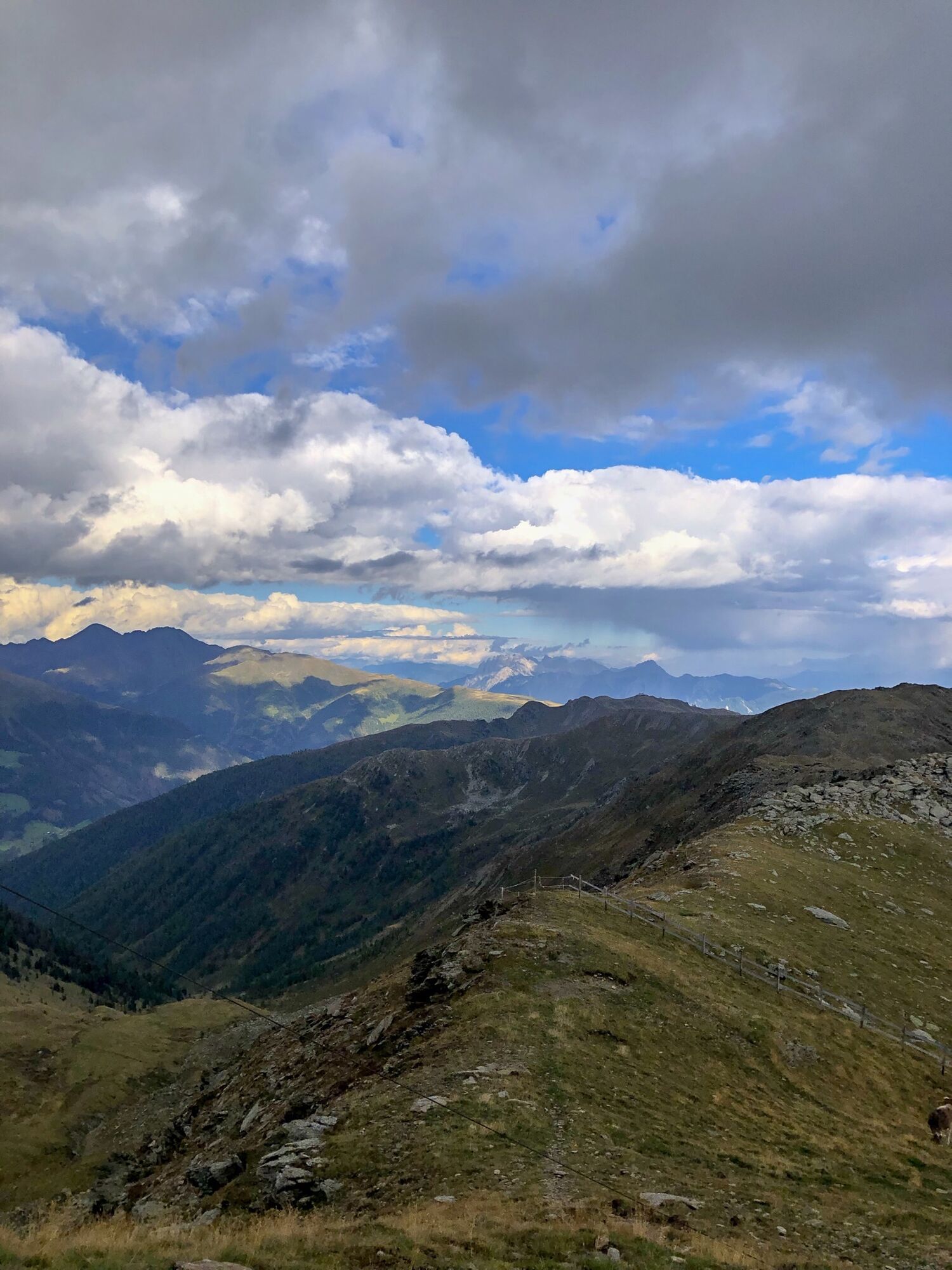
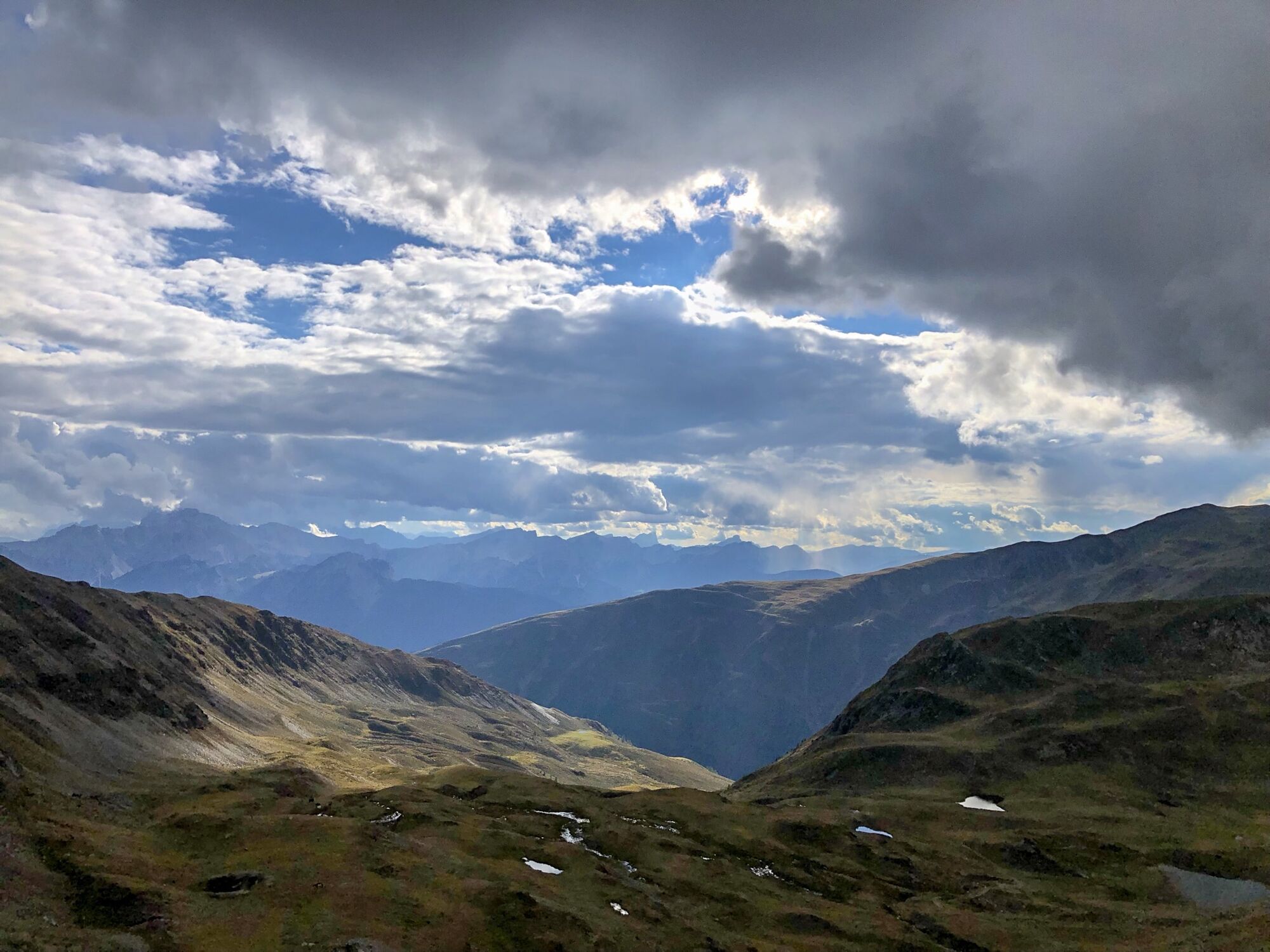
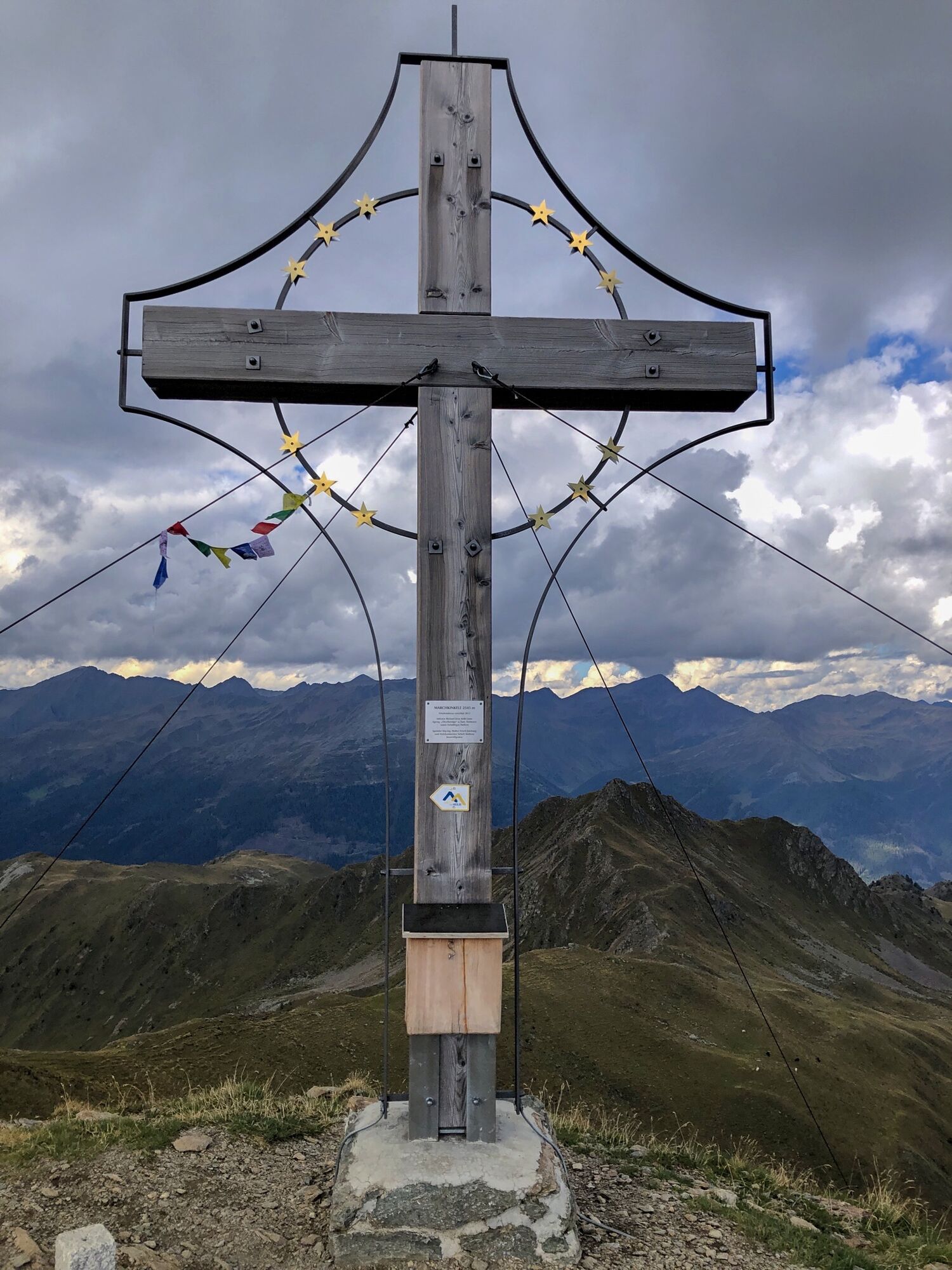
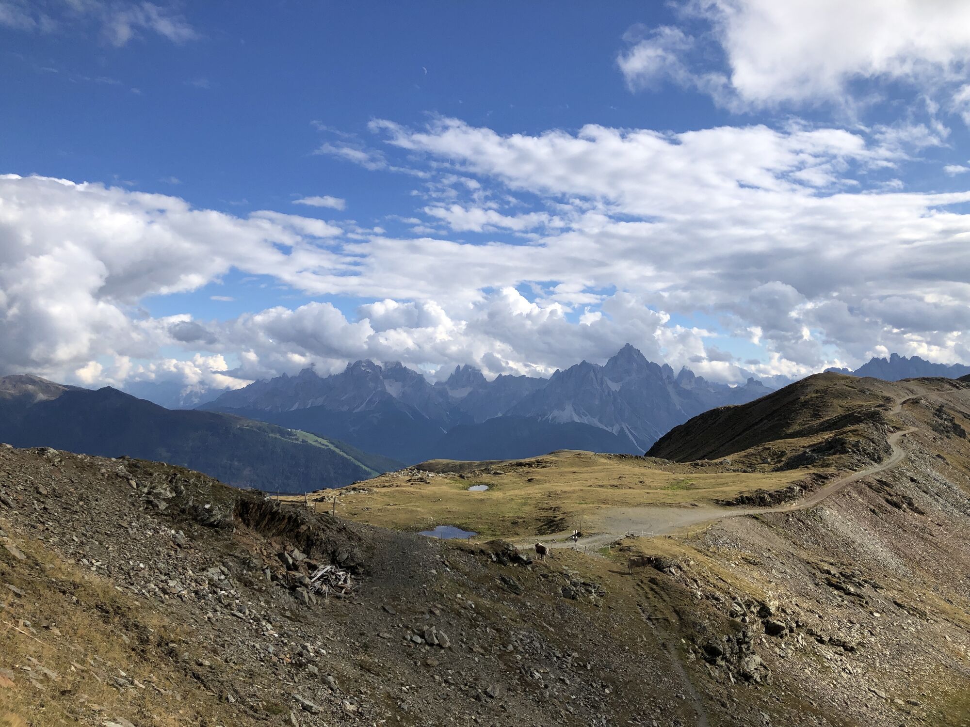
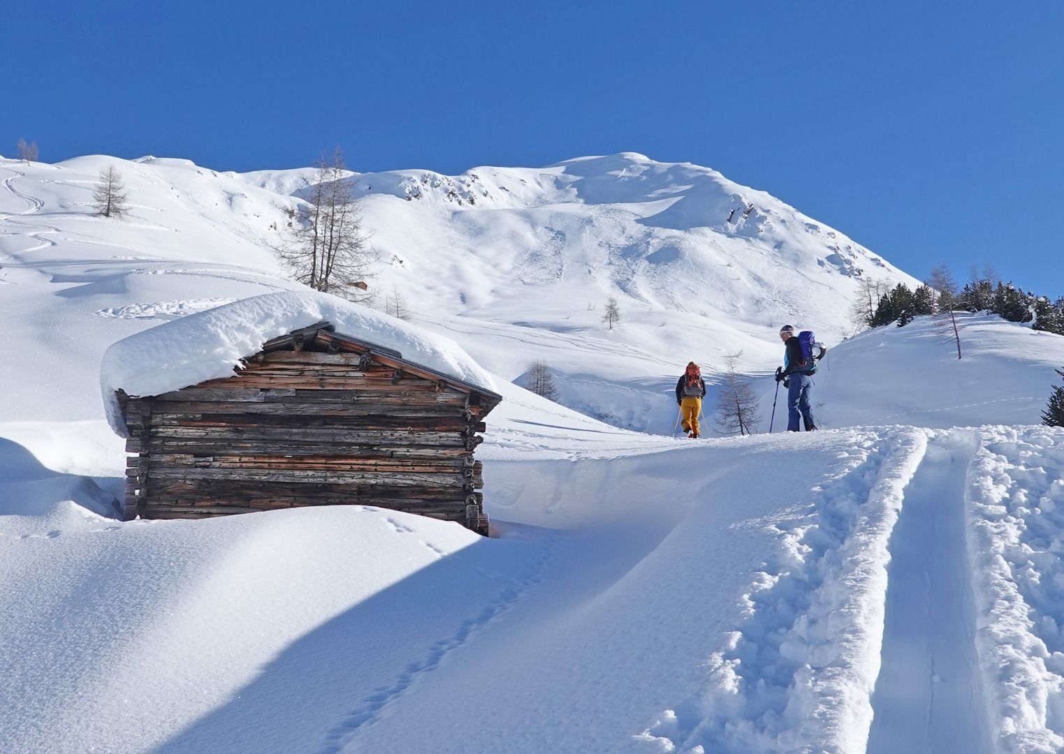
The tour starts in the Klamperplatz district (1375m) in Innervillgraten at the Lanser joinery. First you take a forest path along the Tafinbach stream to the first open space in the Oberhoferalm area (1,622m)....
Descripción de la
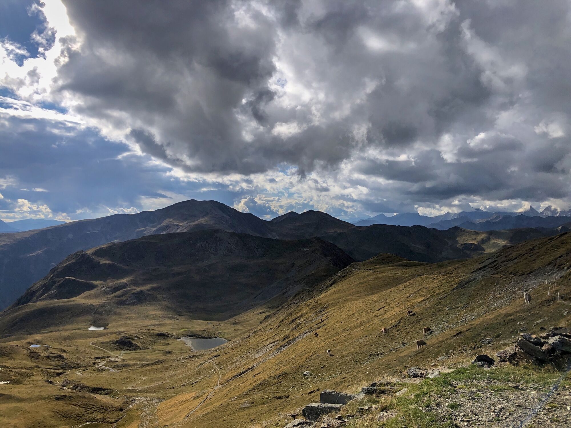
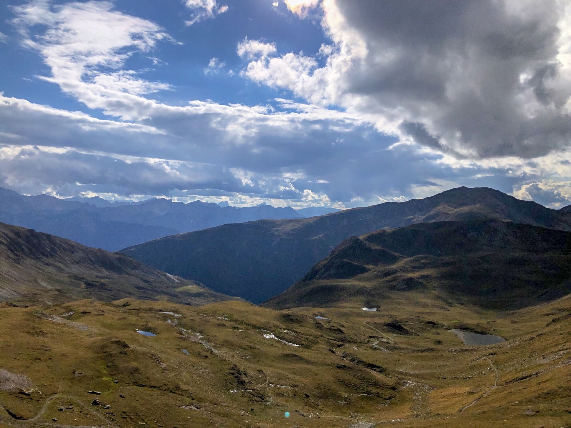
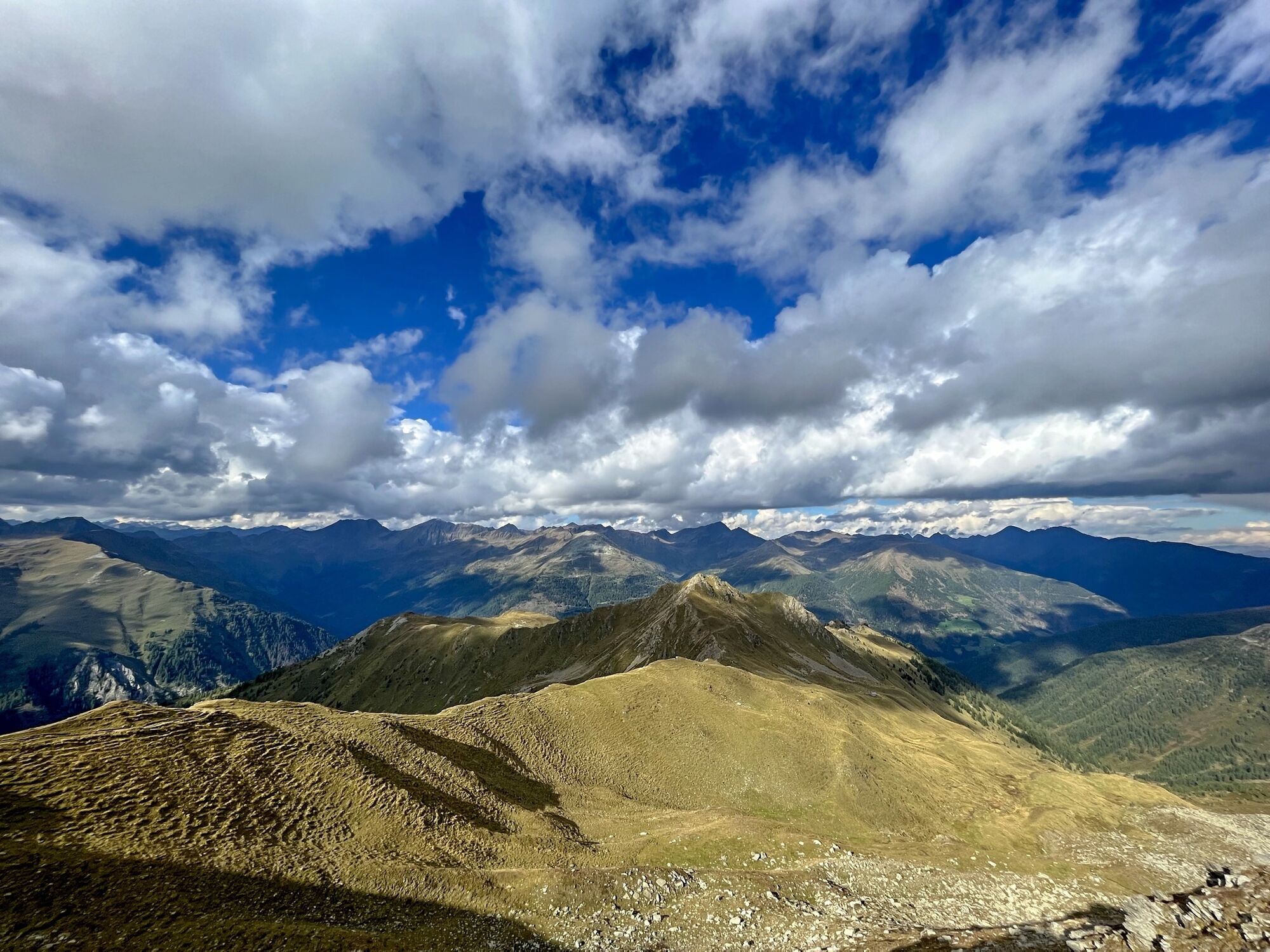
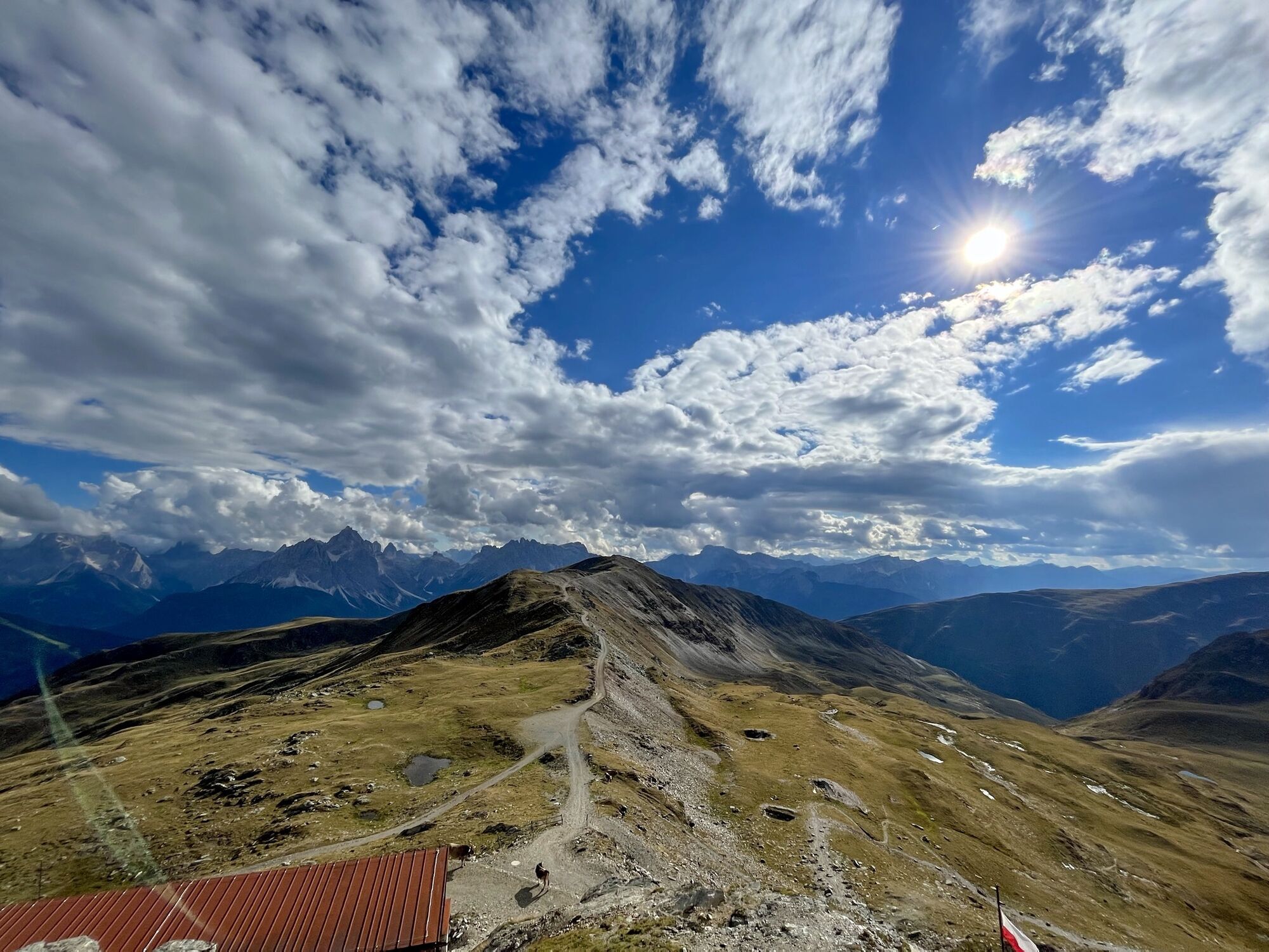
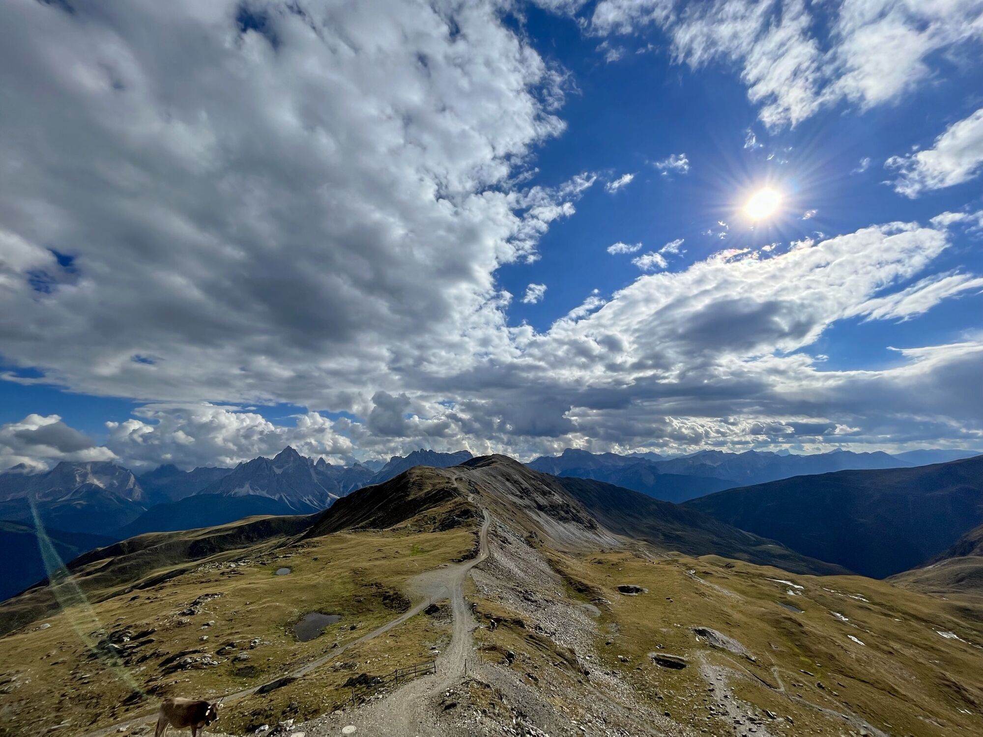
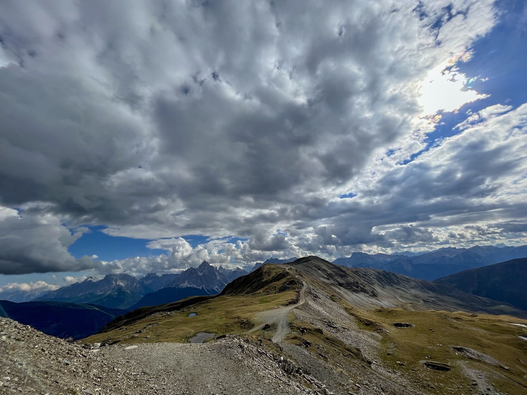
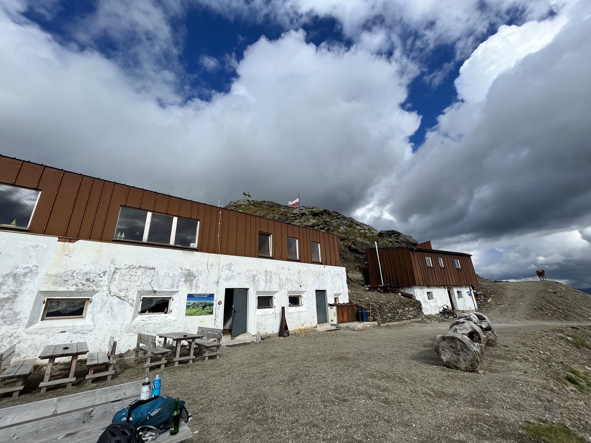
The tour starts in the Klamperplatz district (1375m) in Innervillgraten at the Lanser joinery. First you take a forest path along the Tafinbach stream to the first open space in the Oberhoferalm area (1,622m). From here, follow a meadow path uphill until you reach a path again. Then follow this path to the Galleralm (1790m) and on to the Graferalm (1900m). From here, follow the summer trail over hilly, gently ascending terrain to the Gissertörl (2405m), and from there along the ridge to the summit of the Marchginggele (2545m)
Descent as ascent. Alternatively, you can also ski down to Kalkstein.
Characteristics:
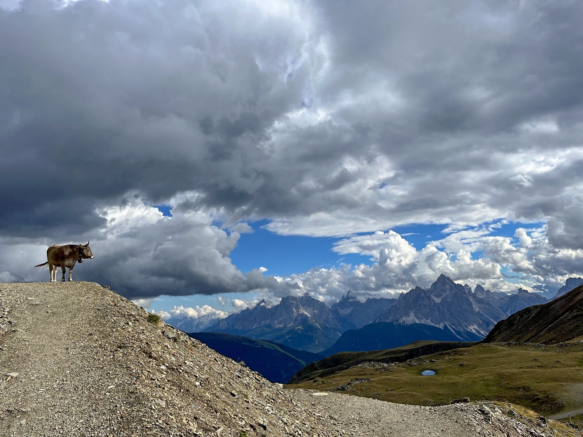
The classic in the Villgratental valley. From Innervillgraten, the tour to the Marchginggele is longer than from Kalsktein with more metres in altitude. From the Gisser Törl upwards, the snow is often affected by the wind. There is another ascent option from the hamlet of Kalkstein. On a clear day, the views extend as far as the Lienz Dolomites and the South Tyrolean Dolomites with the 3 Peaks lie at your feet.
Descent as ascent. Alternatively, you can also ski down to Kalkstein.
Characteristics:
The classic in the Villgratental valley. From Innervillgraten, the tour to the Marchginggele is longer than from Kalsktein with more metres in altitude. From the Gisser Törl upwards, the snow is often affected by the wind. There is another ascent option from the hamlet of Kalkstein. On a clear day, the views extend as far as the Lienz Dolomites and the South Tyrolean Dolomites with the 3 Peaks lie at your feet.
Ruta
Ruta
Ski tour Marchkinkele 2.553m (from Innervillgraten)
medio
Esquí de travesía
6,91
km
Autor
Proporcionado por TVB Osttirol

Compartir gira
Ski tour Marchkinkele 2.553m (from Innervillgraten)
medio
Esquí de travesía
6,91
km
Error
Se ha producido un error. Por favor, inténtelo de nuevo.
Último seguimiento
3 hace semanas

Información de llegada
Llegada
Mit dem Auto bis Innervillgraten
Transporte público
Mit dem Bus bis zur Haltestelle Innervillgraten Tischlerei Lanser
Aparcamiento
Parkplatz Innervillgraten
Aún no hay opiniones
Infórmate
Siempre en directo con más de 9.500 webcams. bergfex Como usuario Pro, ahora puede ver las webcams correspondientes a muchos tours en la app de tours desde. Esto le permite ver las condiciones actuales directamente.

Rutas populares en los alrededores
-
4,5
Kartitsch-Obstansersee Hütte
medioSenderismo 13,1 km -
4,8
Seerunde
luzSenderismo 2,66 km -
4,8
Von Kalkstein auf das Toblacher Pfannhorn (2.663 m) und Marchkinkele
medioSenderismo 14,2 km -
4,1
Helm und Sillianer Hütte
luzSenderismo 8,17 km -
4,8
Sillianer Hütte 2.447 m
medioSenderismo 16,8 km -
4,9
Fischleintalhütte - Rotwandwiesen - Rotwandköpfe - Talschlusshütte- Fischleintalhütte
medioSenderismo 13,4 km -
4,0
Heimkehrer Kreuz - Hornischegg - Sillianer Hütte
medioSenderismo 9,43 km -
Kreuzspitze, 2.624 m
medioSenderismo 5,27 km -
5,0
Schwarzsee
medioSenderismo 7,38 km -
4,6
Van Dobbiaco naar Lienz
luzCiclismo 50,8 km
Senderismo y rastreo

Más de 550.000 sugerencias de excursiones, mapas detallados y un intuitivo planificador de rutas hacen de esta aplicación una herramienta imprescindible para todos los amantes de la naturaleza.

No se pierda las ofertas y la inspiración para sus próximas vacaciones
Suscribirse al boletín de noticias
Error
Se ha producido un error. Por favor, inténtelo de nuevo.
Gracias por inscribirse
Su dirección de correo electrónico se ha añadido a la lista de correo.
Viajes por Europa
Austria
Suiza
Alemania
Italia
Eslovenia
Francia
Países Bajos
Belgium
Polonia
Liechtenstein
República Checa
Slovakia
España
Croacia
Bosnia y Herzegovina
Luxemburgo
Andorra
Portugal
Iceland
United Kingdom
Ireland
Greece
Albania
North Macedonia
Malta
Norway
Montenegro
Moldova
Kosovo
Hungary
San Marino
Romania
Estonia
Latvia
Belarus
Cyprus
Lithuania
Serbia
Bulgaria
Monaco
Denmark
Sweden
Finland





