
Ski tour Öwelenke 2.550m
luz
Consigue este tour en tu móvil
Ski tour Öwelenke 2.550m
luz
Esquí de travesía
4,51
km
Escanee el código QR e inicie la navegación en la aplicación bergfex


Senderismo y rastreo





Ski tour Öwelenke 2.550m
luz
Distancia
4,51
km
Duración
02:30
h
Ascenso
819
m
Nivel del mar
1.690 -
2.519
m
Descarga de pistas
Ski tour Öwelenke 2.550m
luz
Esquí de travesía
4,51
km
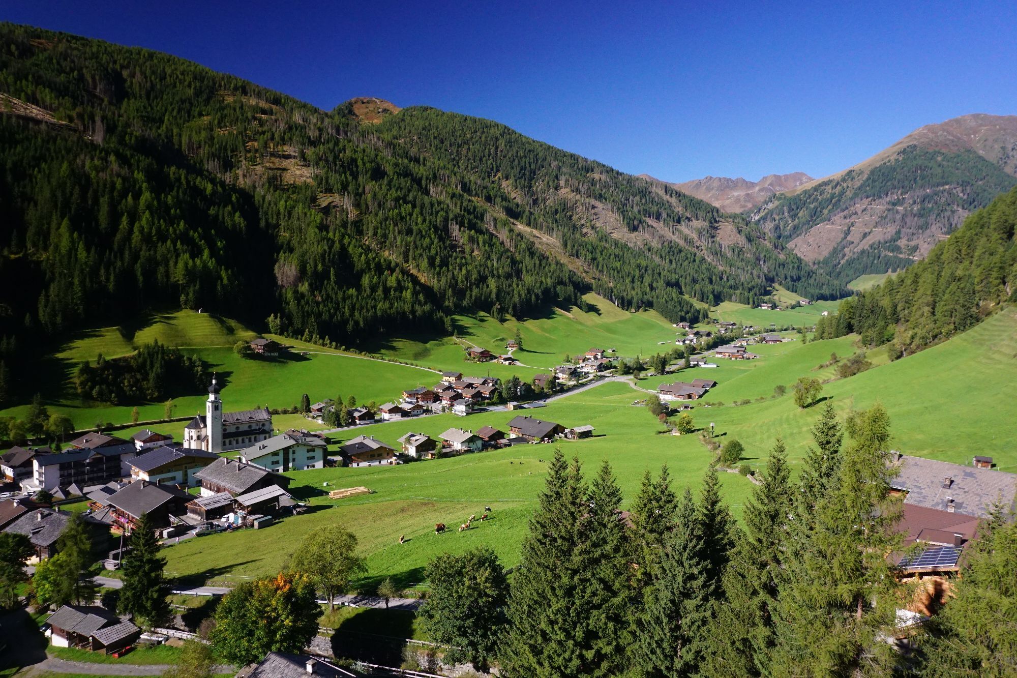
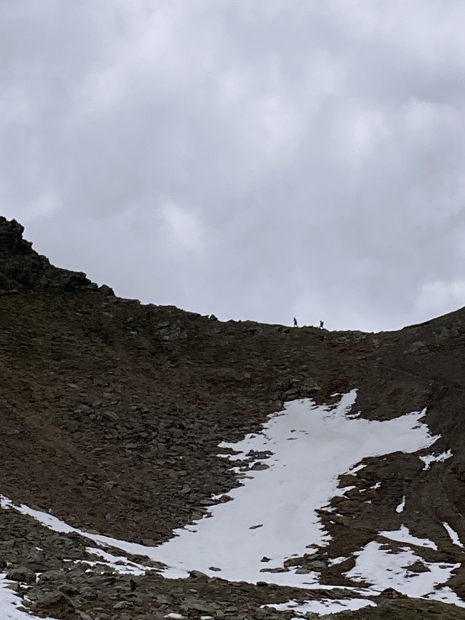
This very easy ski tour starts from the Fürathöfe ski tour car park (1,690 m). From there, just before the car park, you first take a forest path, later a forest track and then another forest path to the...
Descripción de la
This very easy ski tour starts from the Fürathöfe ski tour car park (1,690 m). From there, just before the car park, you first take a forest path, later a forest track and then another forest path to the Kamelisenalm (1,973 m). From the Kamelisenalm with its picturesque chapel, follow the wide path into the valley up to approx. 2,100 metres. Turn right here and continue across the wide valley over hollows and terrain slightly uphill to just below the Lenke. From here, the ascent to the Öwelenke saddle (2,550 m) is somewhat steeper.
Descent as ascent
Characteristics:
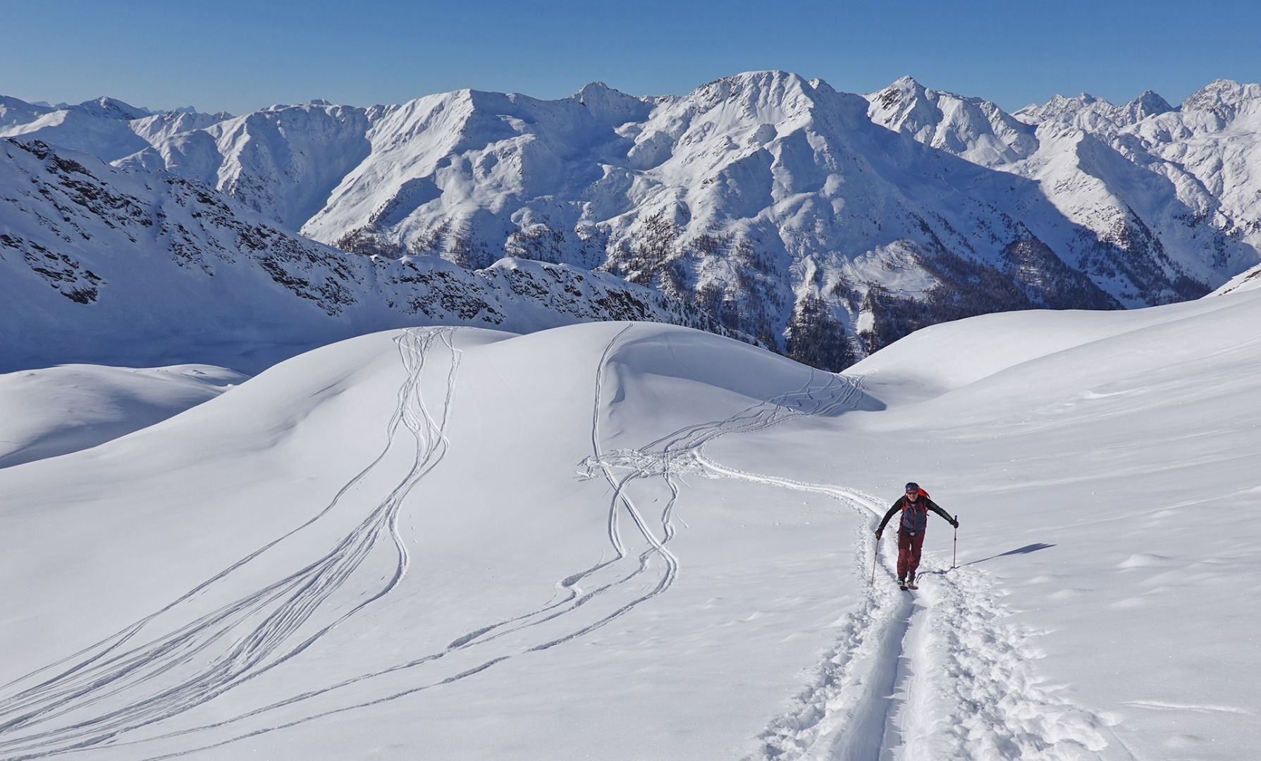
The Öwelenke is a very easy ski tour, especially for beginners, but also has a lot to offer in terms of scenery: Ascent via an alpine pasture with a chapel and, last but not least, a scenic descent with views of the Villgrater mountains and Dolomites. Optionally, the tour can be extended to the Hochstein.
Descent as ascent
Characteristics:
The Öwelenke is a very easy ski tour, especially for beginners, but also has a lot to offer in terms of scenery: Ascent via an alpine pasture with a chapel and, last but not least, a scenic descent with views of the Villgrater mountains and Dolomites. Optionally, the tour can be extended to the Hochstein.
Ruta
Fürathof
(1.690 m)
Corredor/terreno
0,1 km
Kamelisenalm
(1.970 m)
Liquidación
2,0 km
Öwelenke
(2.559 m)
Puerto de montaña
4,4 km
Ruta
Ski tour Öwelenke 2.550m
luz
Esquí de travesía
4,51
km
Fürathof
(1.690 m)
Corredor/terreno
0,1 km
Kamelisenalm
(1.970 m)
Liquidación
2,0 km
Öwelenke
(2.559 m)
Puerto de montaña
4,4 km
Autor
Proporcionado por TVB Osttirol

Compartir gira
Ski tour Öwelenke 2.550m
luz
Esquí de travesía
4,51
km
Error
Se ha producido un error. Por favor, inténtelo de nuevo.

Información de llegada
Llegada
Mit dem Auto bis zum Parkplatz Fürathöfe
Aparcamiento
Parkplatz Fürathöfe
Aún no hay opiniones
Infórmate
Siempre en directo con más de 9.500 webcams. bergfex Como usuario Pro, ahora puede ver las webcams correspondientes a muchos tours en la app de tours desde. Esto le permite ver las condiciones actuales directamente.
Rutas populares en los alrededores
-
4,8
Antholzer See - Steinzger Alm
medioSenderismo 7,48 km -
4,7
Rund um den Antholzer See
luzSenderismo 4,27 km -
4,7
Von Kalkstein auf das Toblacher Pfannhorn (2.663 m) und Marchkinkele
medioSenderismo 14,2 km -
4,6
Rote Wand
medioExcursión de alta montaña 12,0 km -
4,3
Seespitze
medioSenderismo 13,7 km -
5,0
Trojertal, Hintere Trojeralm
luzSenderismo 8,97 km -
5,0
Kreuzspitze, 2.624 m
medioSenderismo 5,27 km -
4,8
Klammljoch - Defereggental No. 102
medioMountainbike 21,9 km -
5,0
Schwarzsee
medioSenderismo 7,38 km -
4,6
Brugger Alm - Ragötzel Hütte - Eggenhütte
medioSenderismo 10,1 km
Senderismo y rastreo

Más de 550.000 sugerencias de excursiones, mapas detallados y un intuitivo planificador de rutas hacen de esta aplicación una herramienta imprescindible para todos los amantes de la naturaleza.

No se pierda las ofertas y la inspiración para sus próximas vacaciones
Suscribirse al boletín de noticias
Error
Se ha producido un error. Por favor, inténtelo de nuevo.
Gracias por inscribirse
Su dirección de correo electrónico se ha añadido a la lista de correo.
Viajes por Europa
Austria
Suiza
Alemania
Italia
Eslovenia
Francia
Países Bajos
Belgium
Polonia
Liechtenstein
República Checa
Slovakia
España
Croacia
Bosnia y Herzegovina
Luxemburgo
Andorra
Portugal
Iceland
United Kingdom
Ireland
Greece
Albania
North Macedonia
Malta
Norway
Montenegro
Moldova
Kosovo
Hungary
San Marino
Romania
Estonia
Latvia
Belarus
Cyprus
Lithuania
Serbia
Bulgaria
Monaco
Denmark
Sweden
Finland





