
Ski tour Gatterspitze 2.430m
pesado
Consigue este tour en tu móvil
Ski tour Gatterspitze 2.430m
pesado
Esquí de travesía
5,22
km
Escanee el código QR e inicie la navegación en la aplicación bergfex


Senderismo y rastreo




Ski tour Gatterspitze 2.430m
pesado
Distancia
5,22
km
Duración
03:50
h
Ascenso
874
m
Nivel del mar
1.373 -
2.243
m

Navega por tu recorrido en la aplicación
Instala la aplicación de forma gratuita y no pierdas de vista la ruta, con navegación por GPS y seguimiento.
Usa ya « bergfex » en la aplicación
Escanea el código QR con tu cámara
Una vez instalada la aplicación, el contenido se abre directamente. Si aún no tienes la aplicación, podrás descargarla de forma gratuita.
Descarga de pistas
Ski tour Gatterspitze 2.430m
pesado
Esquí de travesía
5,22
km
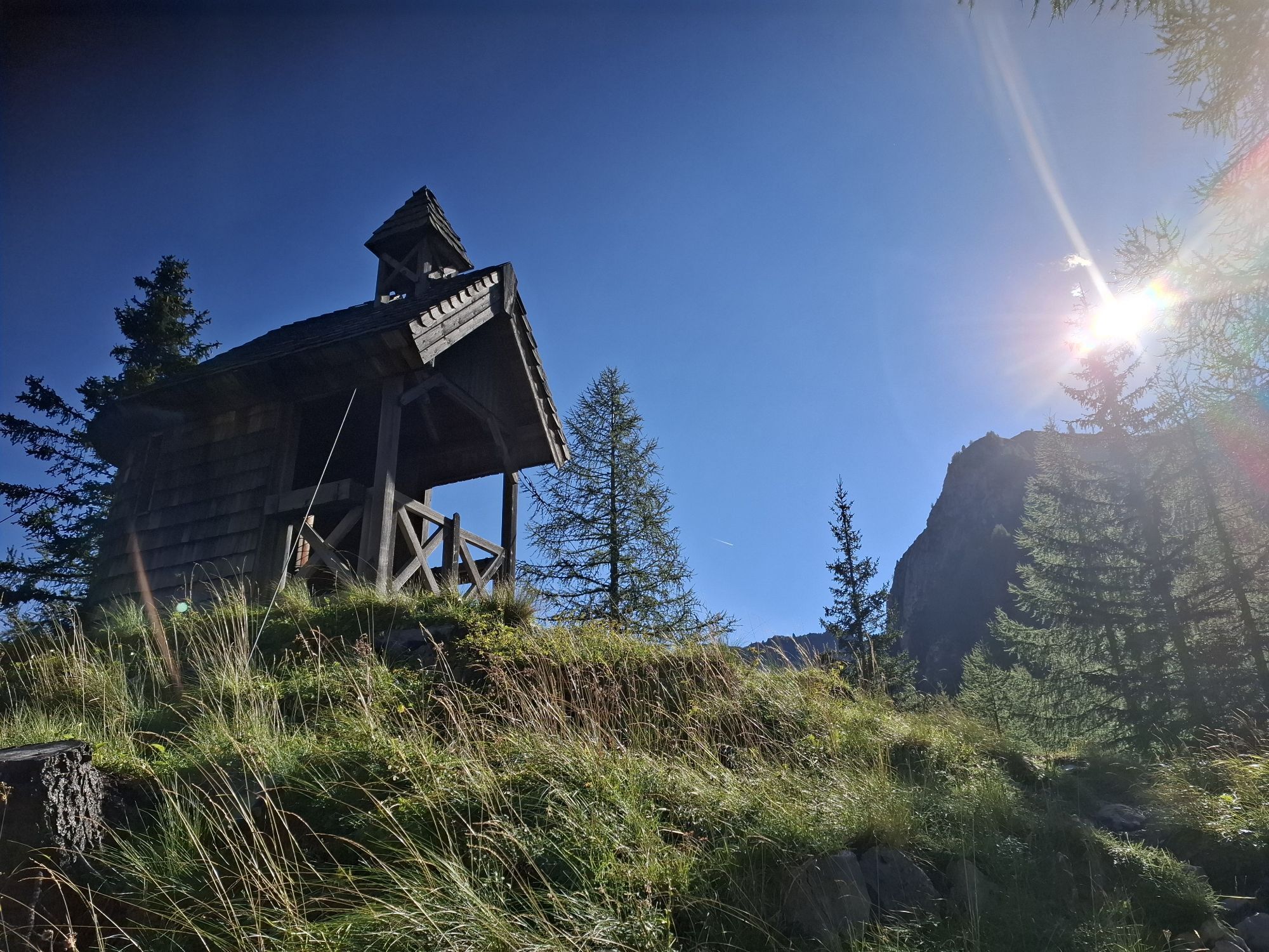
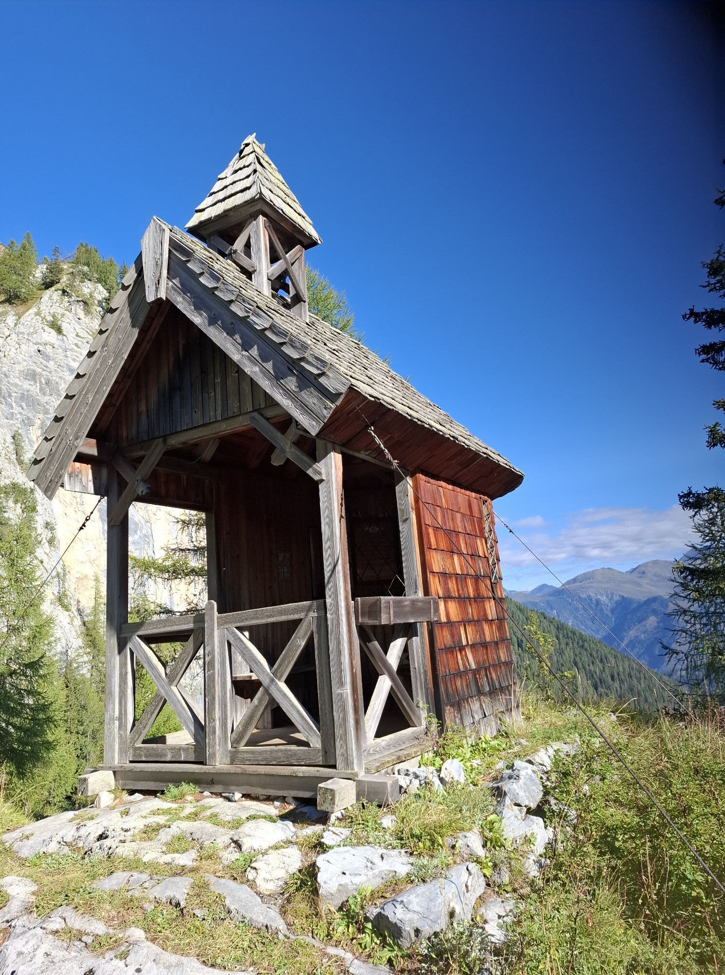
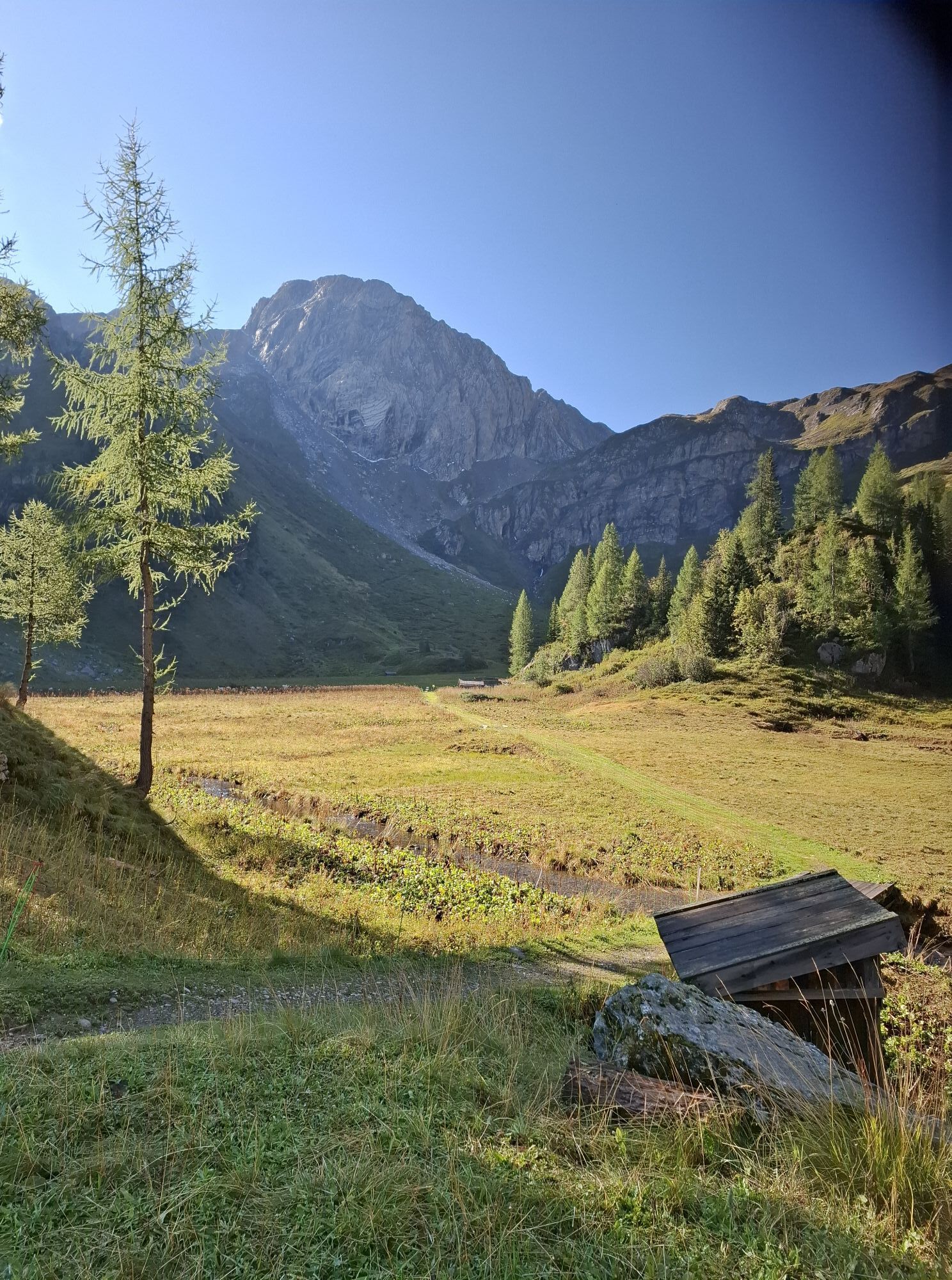
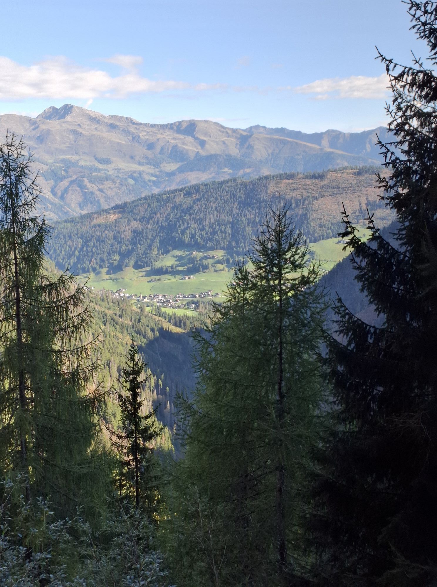
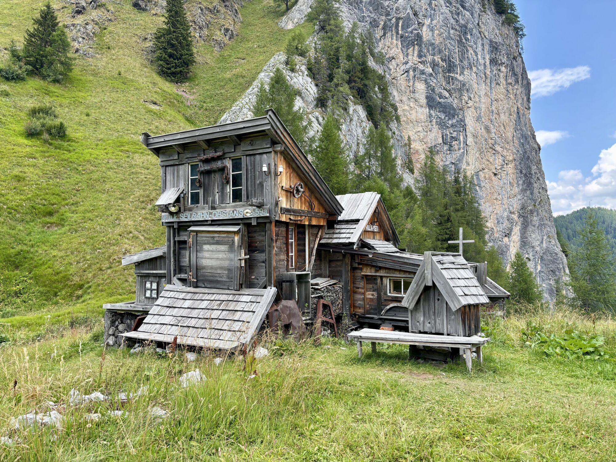
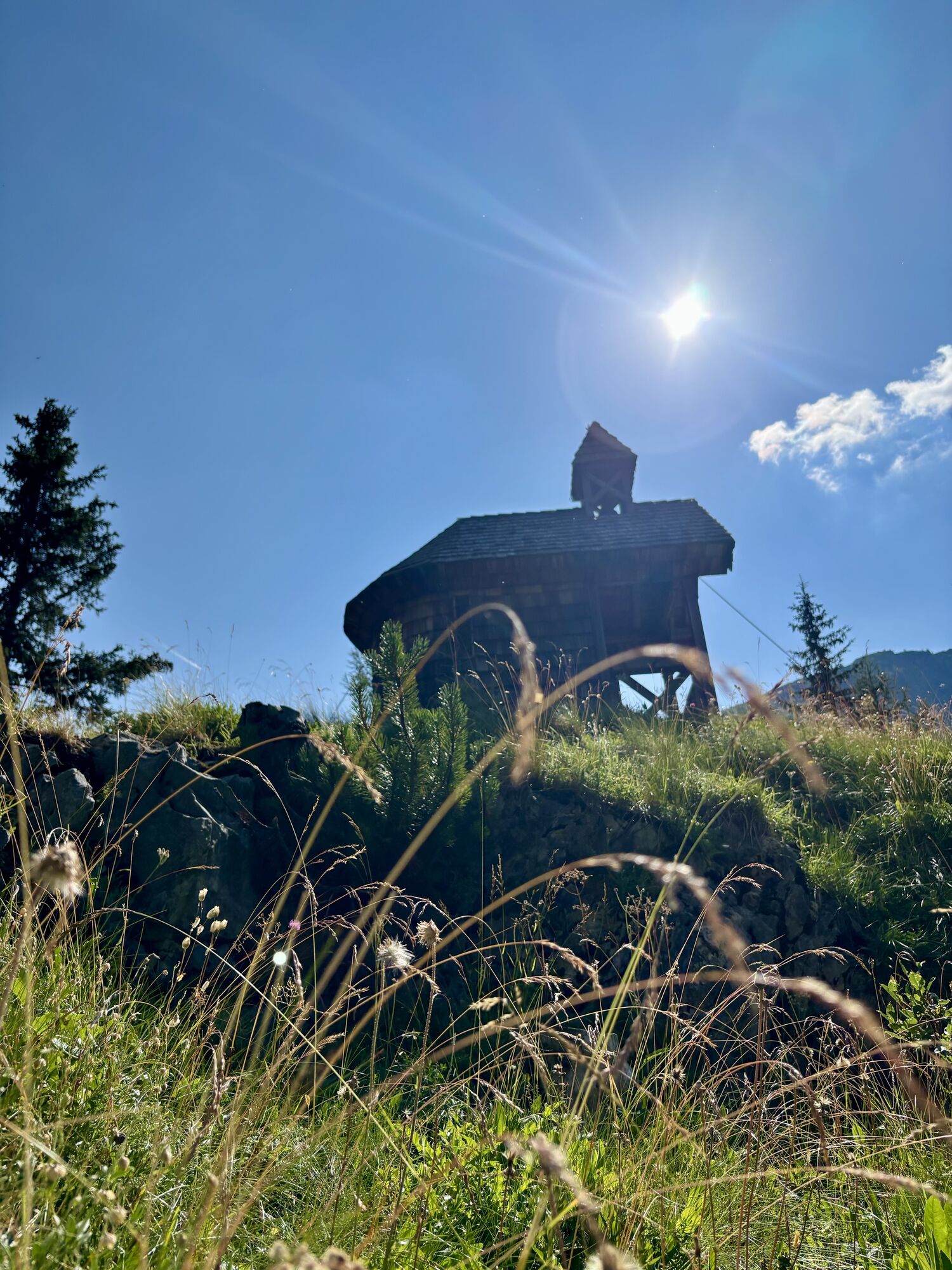
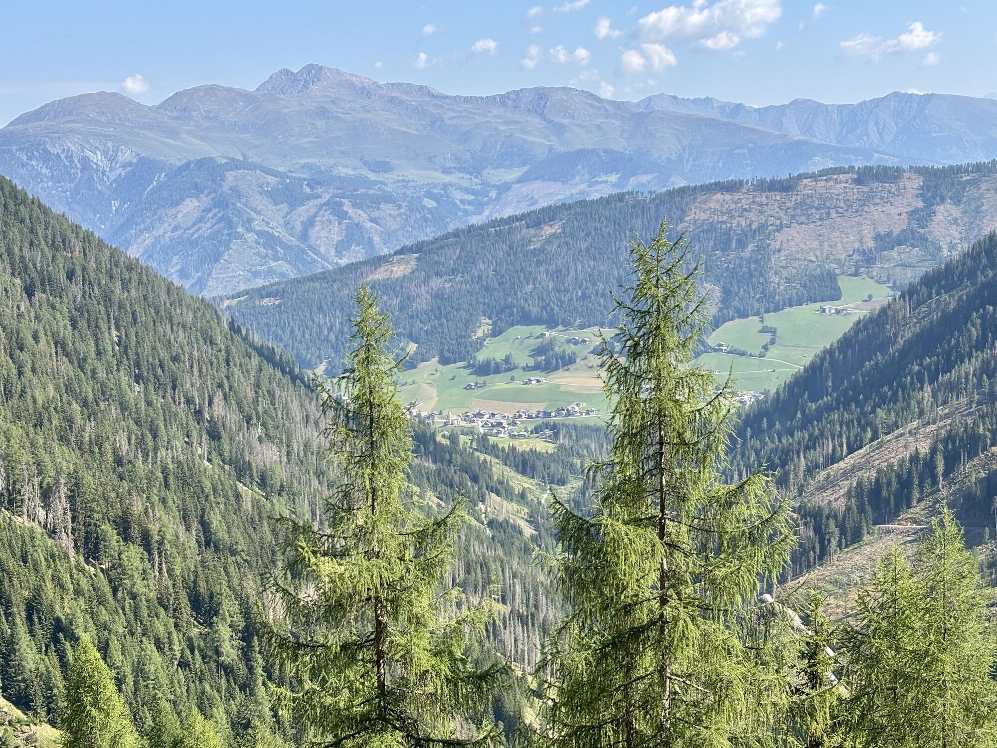
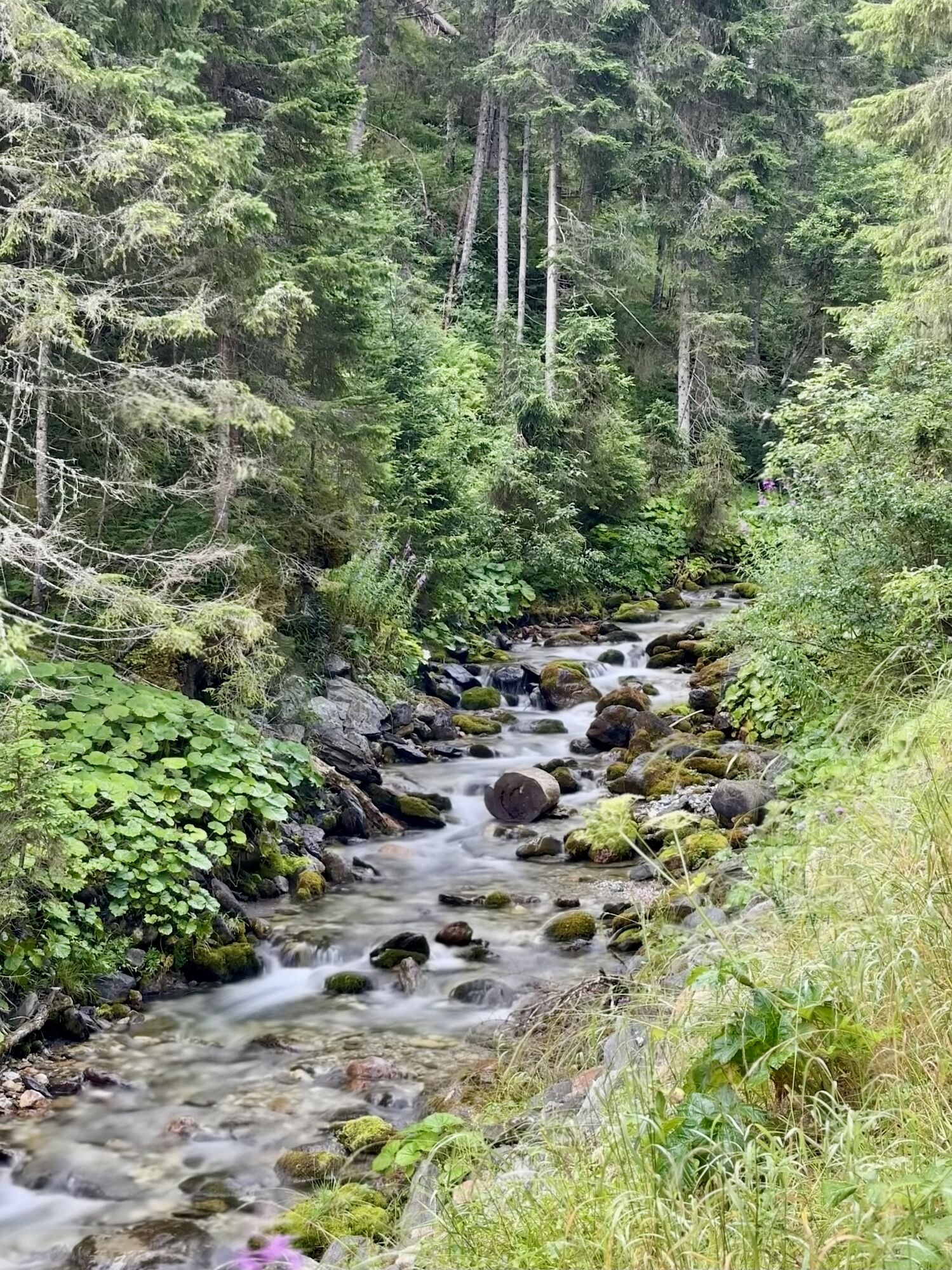
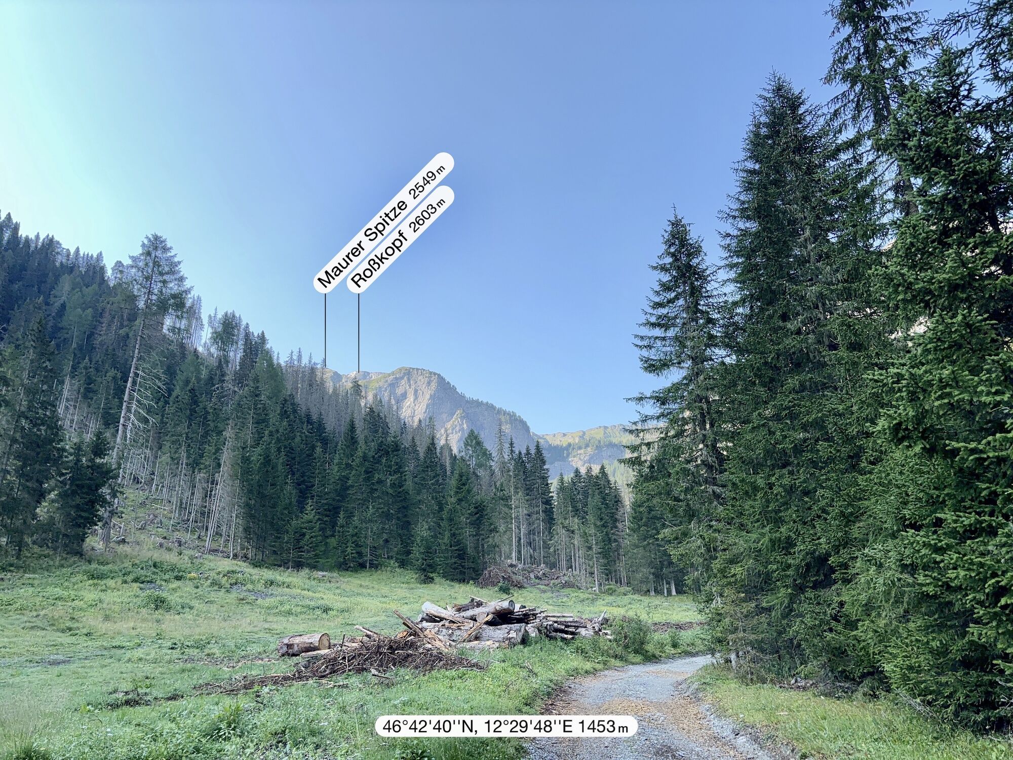
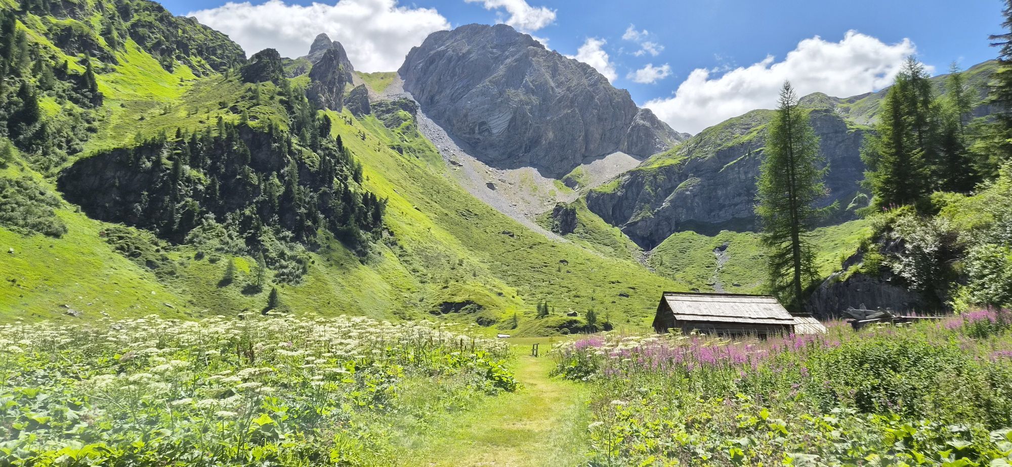
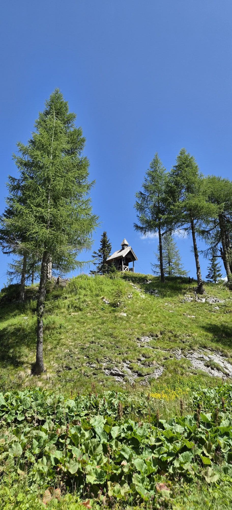
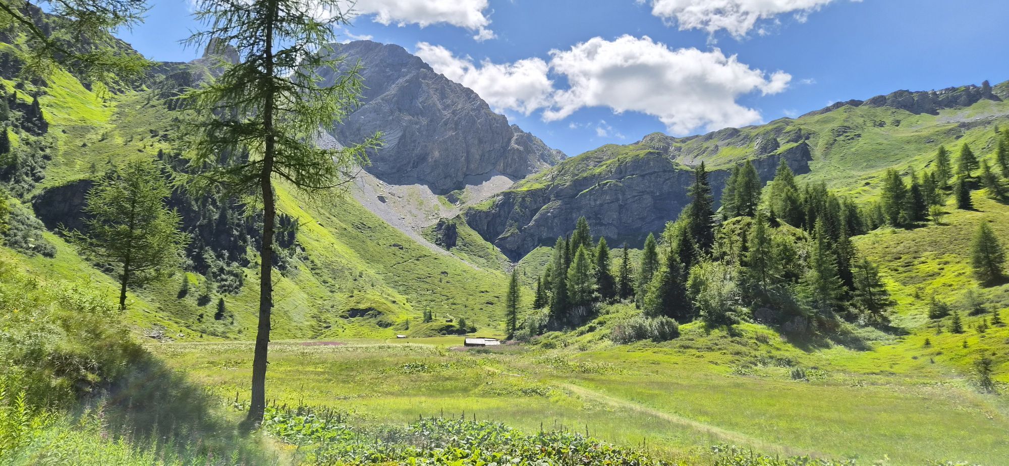
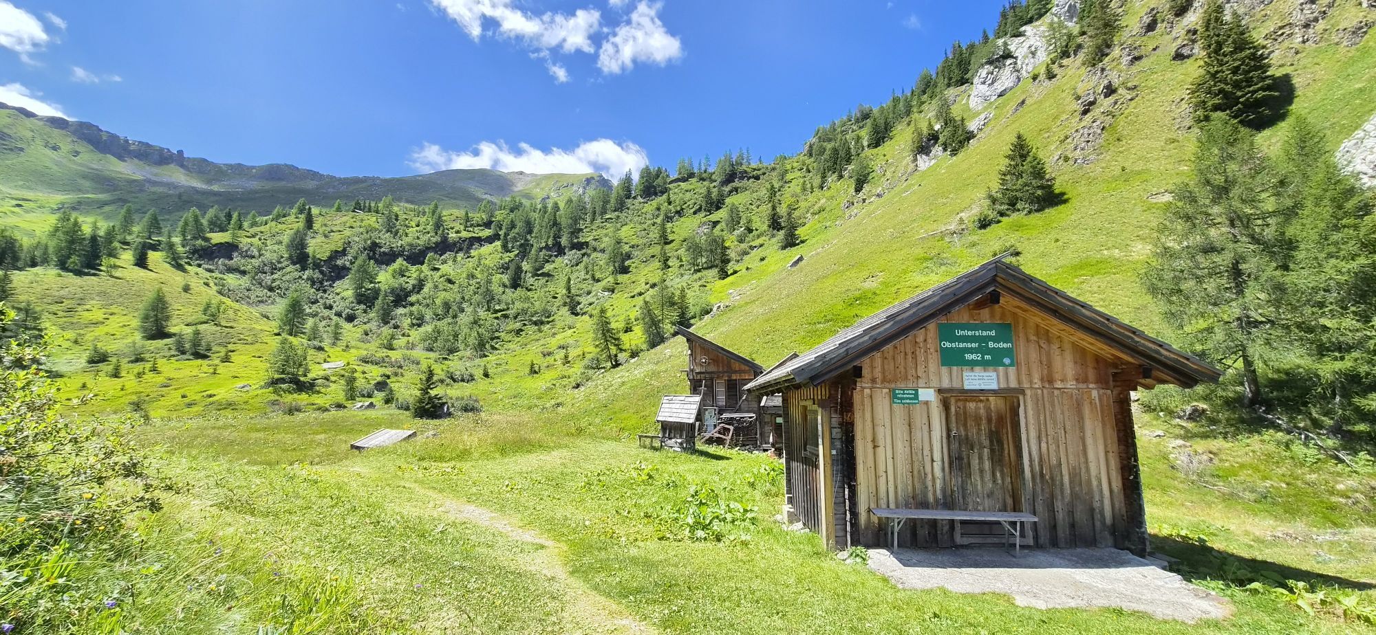
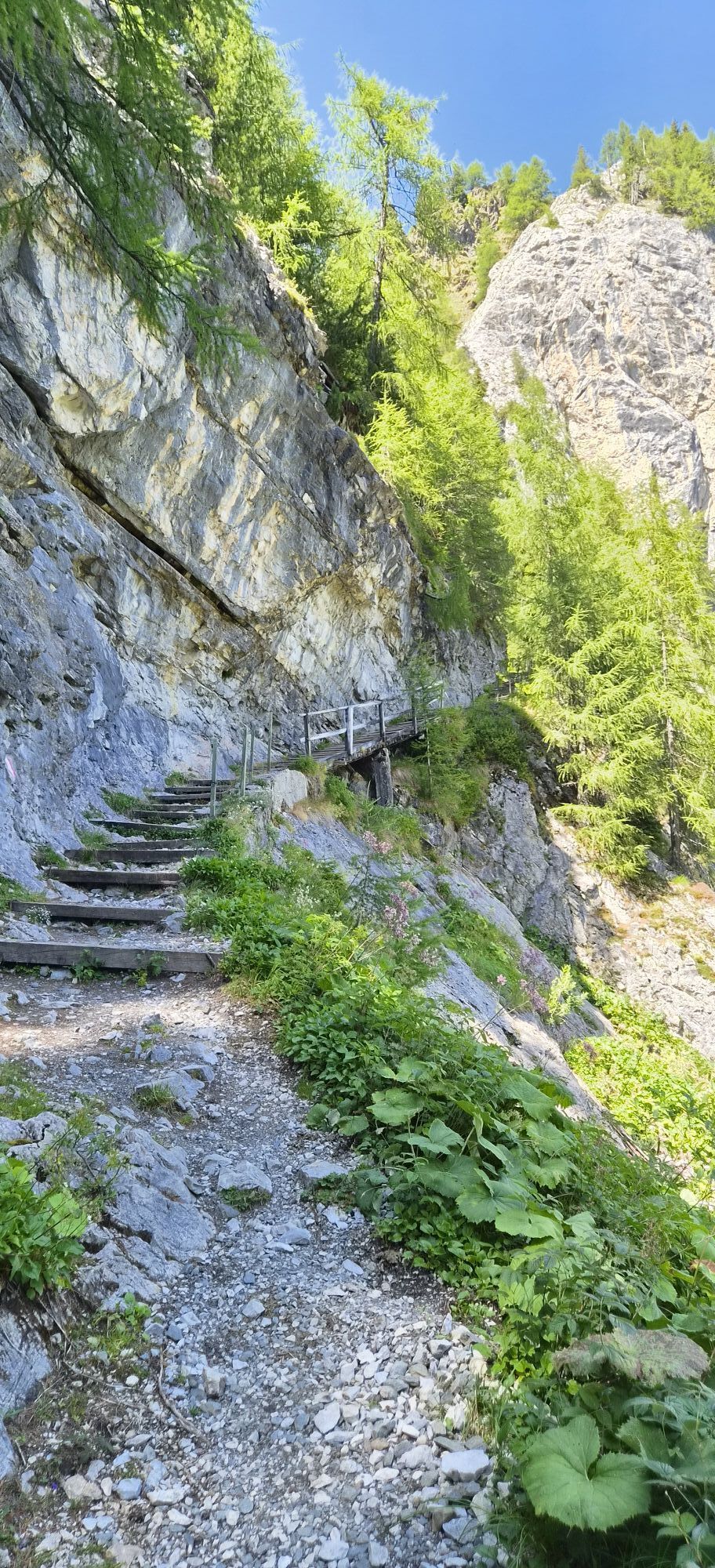
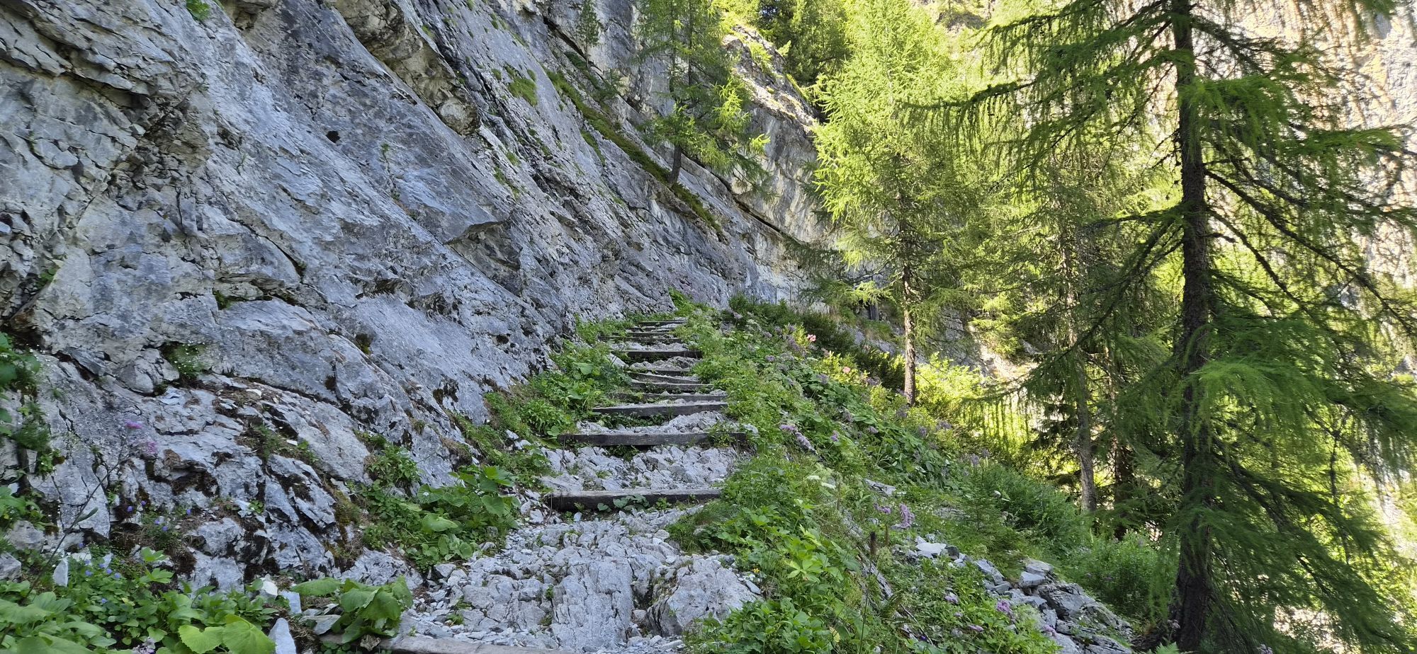
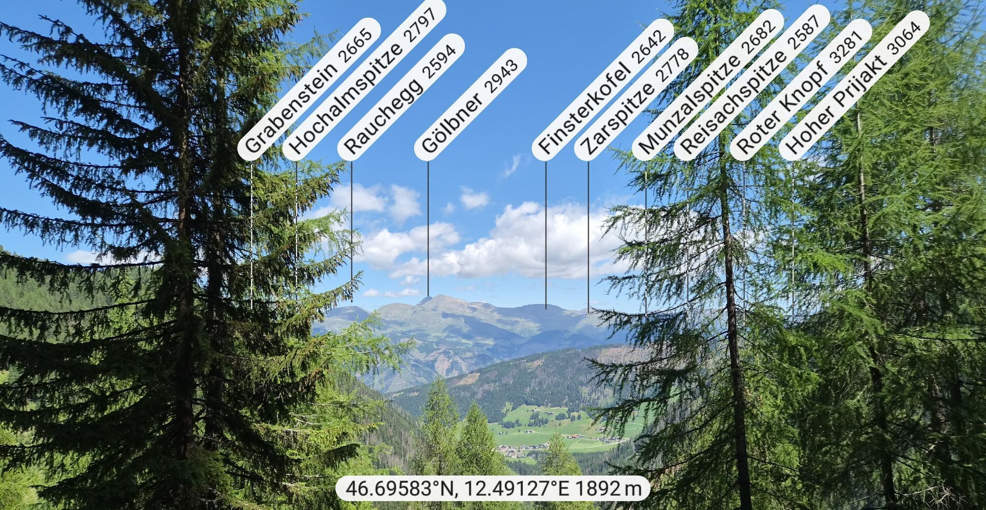
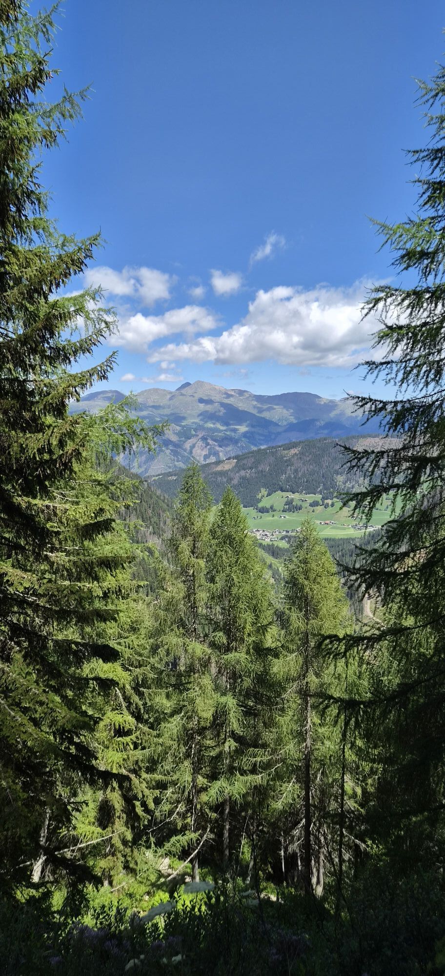
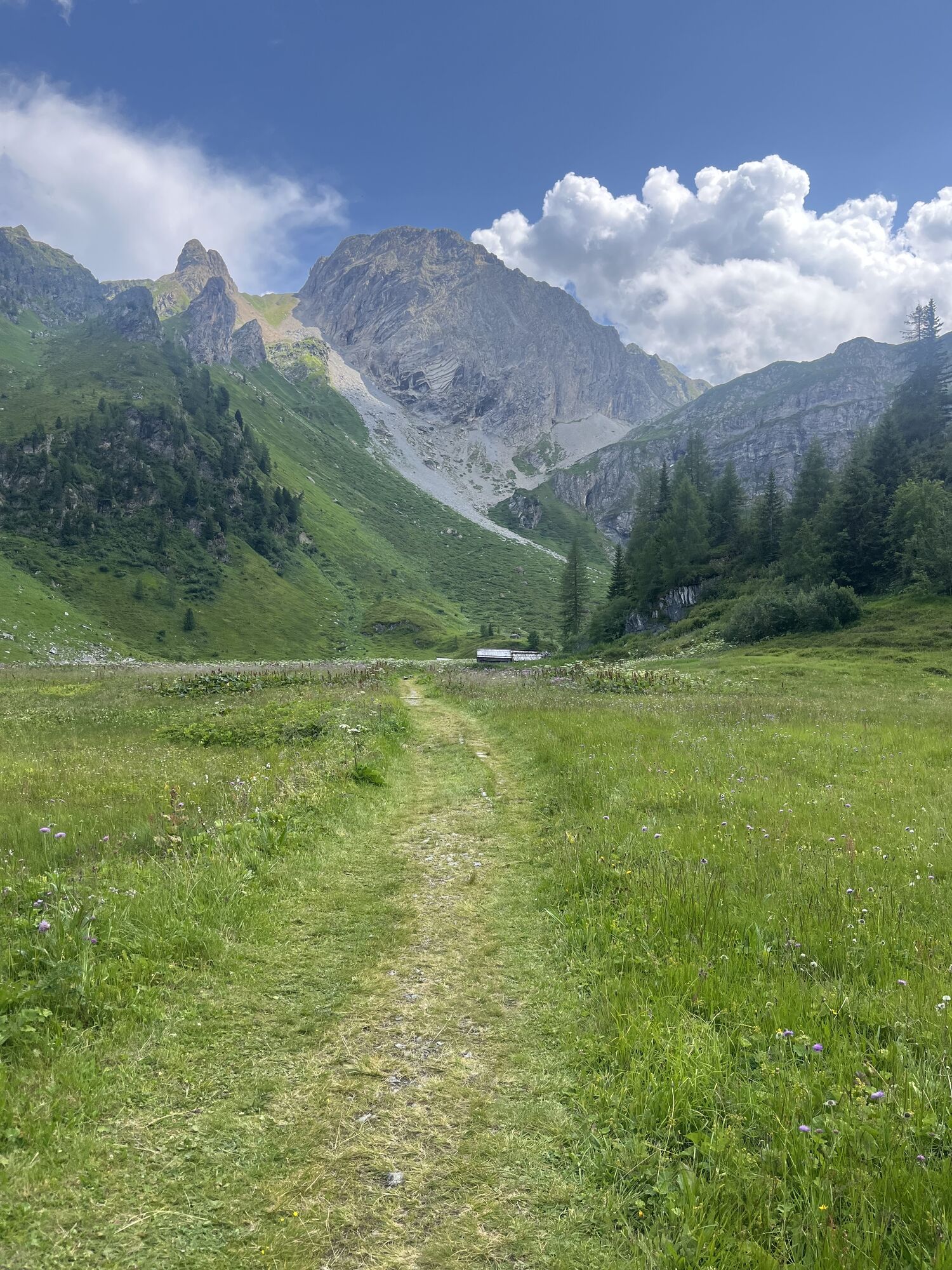
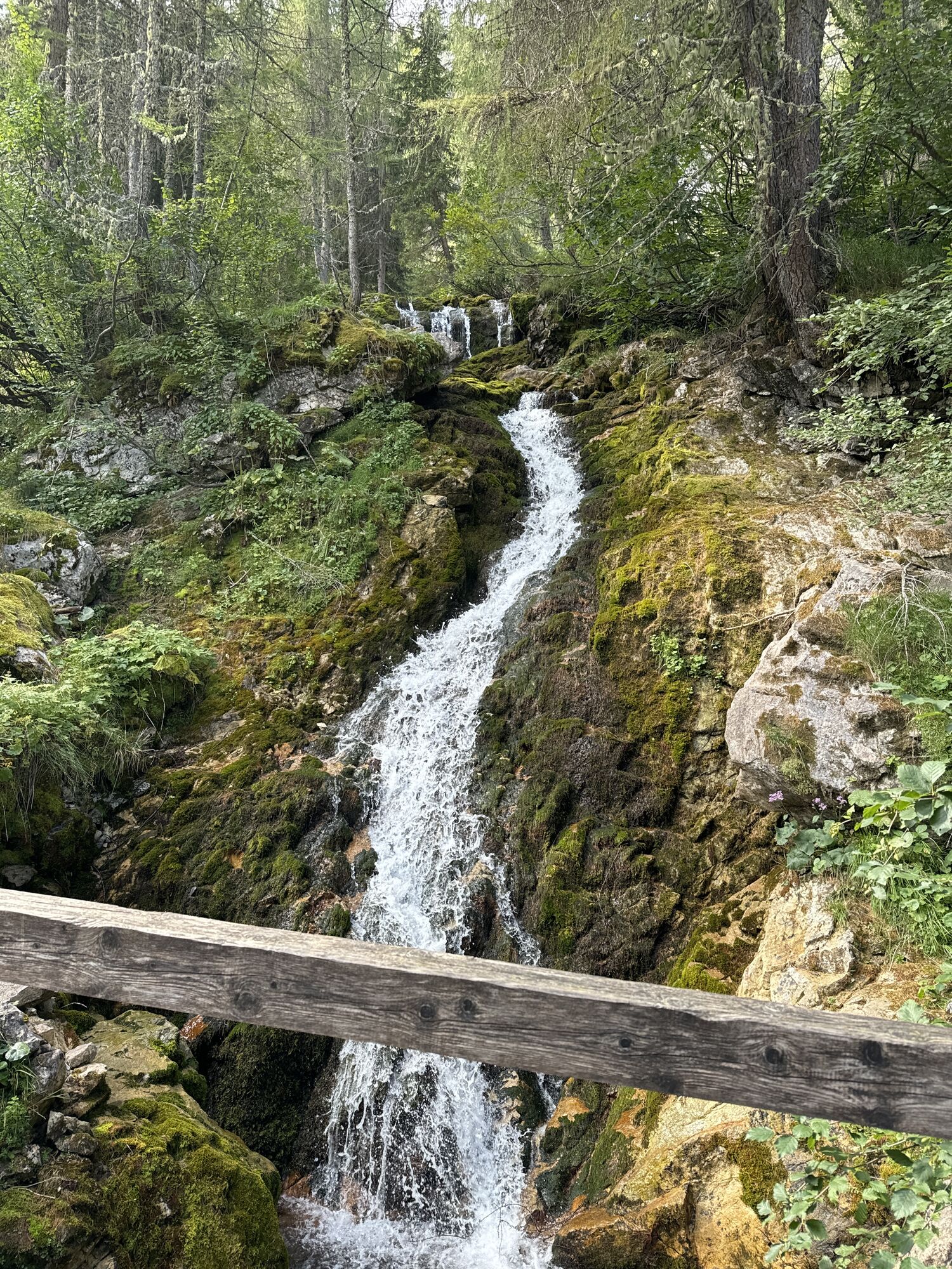
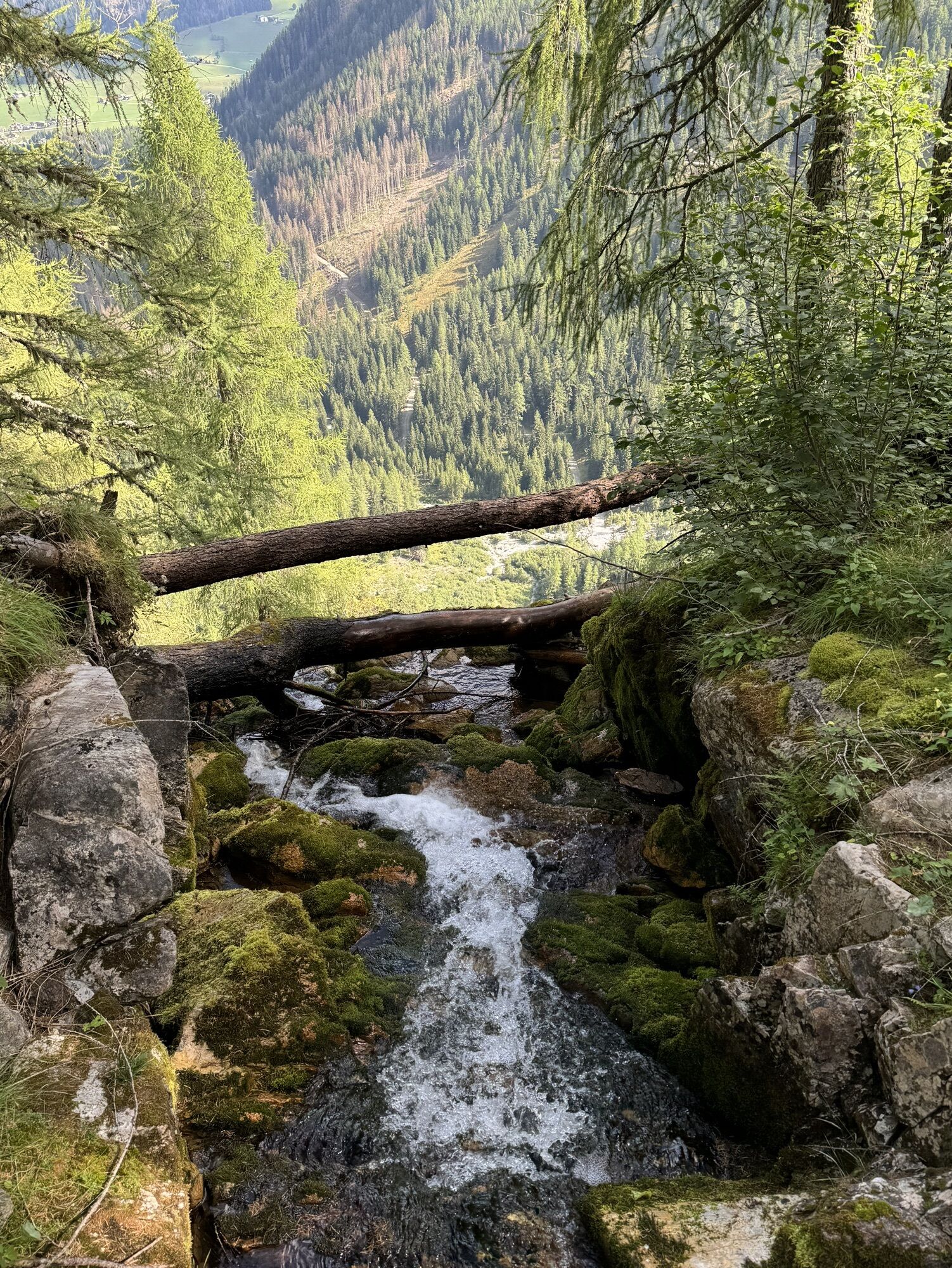
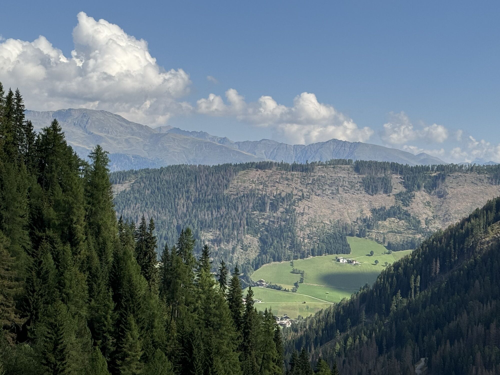
The Gatterspitze is, next to the Pfannspitze and the Eisenreich the third of the Winklertal tours and impresses thanks to its ascent which is lovely throughout and peppered with nice hay barn. In the summit...
Descripción de la
The Gatterspitze is, next to the Pfannspitze and the Eisenreich the third of the Winklertal tours and impresses thanks to its ascent which is lovely throughout and peppered with nice hay barn. In the summit area however there is a short steep slope to tackle, which as well as the challenging entrance area to the valley is a key section in terms of avalanche risk. Starting point once again is Obstanser Wiesenboden (1962 m). The start area is the same as for the ski tour to the Pfannspitze, and the same precautions are to be heeded! At the start of the plateau we cross a bridge and exactly opposite a sparsely wooded gently climbing slope. To the left beneath us is the first lovely hay barn, while our track takes us up above this via the ridge, in a wide arc to the west. Passing the really nice little inn we now come to the summit of the Gatterspitze, which is visible from quite a distance. We set our sights on the flat dip to the south west of the highest point here. Via short troughs and where the slopes head up, we reach around 2200 m and a round hump in the terrain, which we climb or avoid by heading south. We soon come to the foot of the summit slope (south-east, > 30°) and climb in up in hairpins in the flat saddle area, where, via the south-west ridge we ski to the summit. Descent along the ascent track.
Ruta
Kartitsch
(1.343 m)
Pueblo
0,0 km
Prinz-Heinrich-Kapelle
(1.959 m)
Lugar de culto
3,4 km
Gatterspitze
(2.430 m)
Cumbre
4,9 km
Ruta
Ski tour Gatterspitze 2.430m
pesado
Esquí de travesía
5,22
km
Kartitsch
(1.343 m)
Pueblo
0,0 km
Neuwinkl
(1.369 m)
Liquidación
0,0 km
Prinz-Heinrich-Kapelle
(1.959 m)
Lugar de culto
3,4 km
Gatterspitze
(2.430 m)
Cumbre
4,9 km
Autor
Proporcionado por TVB Osttirol

Compartir gira
Ski tour Gatterspitze 2.430m
pesado
Esquí de travesía
5,22
km
Error
Se ha producido un error. Por favor, inténtelo de nuevo.
Último seguimiento
2 hace semanas

Equipamiento
Basic equipment for ski tours includes touring skis with skins, touring poles, suitable touring ski boots and functional clothing based on the layering principle including sufficient spare clothes. Keep your backpack weight as low as possible. Essential in open terrain is complete avalanche emergency equipment (transceiver, shovel, probe) as well as a first aid kit, a bivy sack and a charged mobile phone. Sufficient fluids and food should also be carried. An avalanche airbag backpack can further increase the chances of survival in an emergency.
This information serves as a guide and does not claim to be exhaustive. Equipment must always be adapted to the tour destination, weather conditions, season, natural hazards, environmental influences and personal needs.
This information serves as a guide and does not claim to be exhaustive. Equipment must always be adapted to the tour destination, weather conditions, season, natural hazards, environmental influences and personal needs.
Información de llegada
Transporte público
Mit dem Bus bis zur Haltestelle "Kartitsch Gemeindeamt"
Aparcamiento
Mit dem Auto bis zum Sportplatz Kartitsch
Parkplatz Sportplatz Kartitsch
Parkplatz Sportplatz Kartitsch
Aún no hay opiniones

Todas las cámaras web en un mapa
Descarga la aplicación gratis y compara las imágenes en directo de varios lugares antes de salir.
Usa ya « bergfex » en la aplicación
Escanea el código QR con tu cámara
Una vez instalada la aplicación, el contenido se abre directamente. Si aún no tienes la aplicación, podrás descargarla de forma gratuita.


Rutas populares en los alrededores
-
5,0
Drei Zinnen
medioSenderismo 19,6 km -
4,9
#31: Paternkofel von Auronzohütte, und Schartenweg, B/C
pesadoVía ferrata 15,7 km -
4,9
Rotwandwiesen kreuzbergpass rundweg
medioSenderismo 12,0 km -
4,6
Kartitsch-Obstansersee Hütte
medioSenderismo 13,1 km -
4,4
Connyalm (2.070 m)
Senderismo 6,36 km -
3,9
Rotwandspitze
medioVía ferrata 10,6 km -
5,0
Paternkofel_Schartenweg
pesadoVía ferrata 20,7 km -
4,8
Fischleintalhütte - Rotwandwiesen - Rotwandköpfe - Talschlusshütte- Fischleintalhütte
medioSenderismo 13,4 km -
4,2
Helm und Sillianer Hütte
luzSenderismo 8,17 km -
4,8
Sillianer Hütte 2.447 m
medioSenderismo 16,8 km
Senderismo y rastreo

Más de 550.000 sugerencias de excursiones, mapas detallados y un intuitivo planificador de rutas hacen de esta aplicación una herramienta imprescindible para todos los amantes de la naturaleza.

No se pierda las ofertas y la inspiración para sus próximas vacaciones
Suscribirse al boletín de noticias
Error
Se ha producido un error. Por favor, inténtelo de nuevo.
Gracias por inscribirse
Su dirección de correo electrónico se ha añadido a la lista de correo.
Viajes por Europa
Austria
Suiza
Alemania
Italia
Eslovenia
Francia
Países Bajos
Belgium
Polonia
Liechtenstein
República Checa
Slovakia
España
Croacia
Bosnia y Herzegovina
Luxemburgo
Andorra
Portugal
Iceland
United Kingdom
Ireland
Greece
Albania
North Macedonia
Malta
Norway
Montenegro
Moldova
Kosovo
Hungary
San Marino
Romania
Estonia
Latvia
Belarus
Cyprus
Lithuania
Serbia
Bulgaria
Monaco
Denmark
Sweden
Finland





