
Ski tour Tessenberger Alm 1.950m
luz
Consigue este tour en tu móvil
Ski tour Tessenberger Alm 1.950m
luz
Esquí de travesía
7,41
km
Escanee el código QR e inicie la navegación en la aplicación bergfex


Senderismo y rastreo





Ski tour Tessenberger Alm 1.950m
luz
Distancia
7,41
km
Duración
02:00
h
Ascenso
894
m
Nivel del mar
1.325 -
2.247
m
Descarga de pistas
Ski tour Tessenberger Alm 1.950m
luz
Esquí de travesía
7,41
km
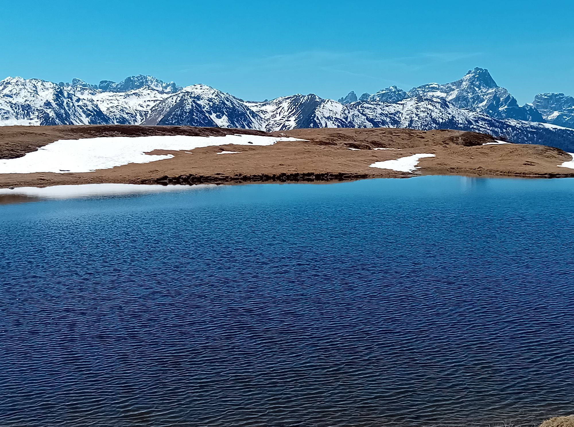
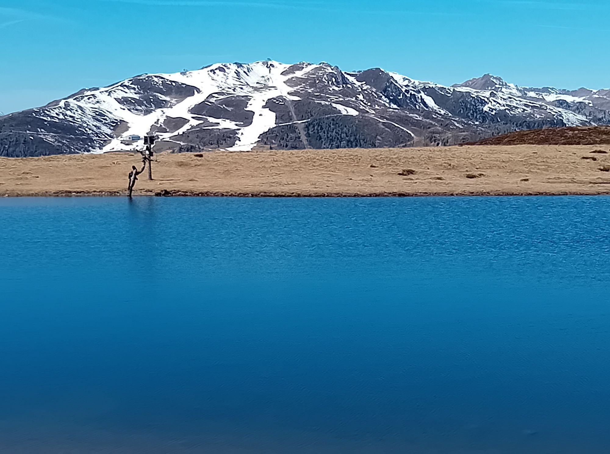
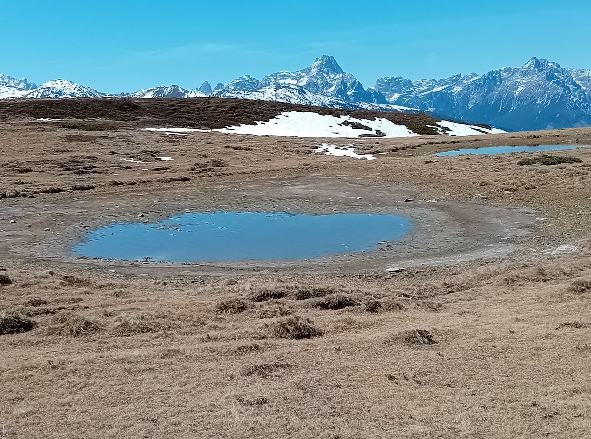
The wonderful Tessenberger Alm is situated to the north of the town of Heinfels in the sunny area of Pustertal and is a perfect tour destination for pleasure-seekers, sun-worshippers and those who are...
Descripción de la
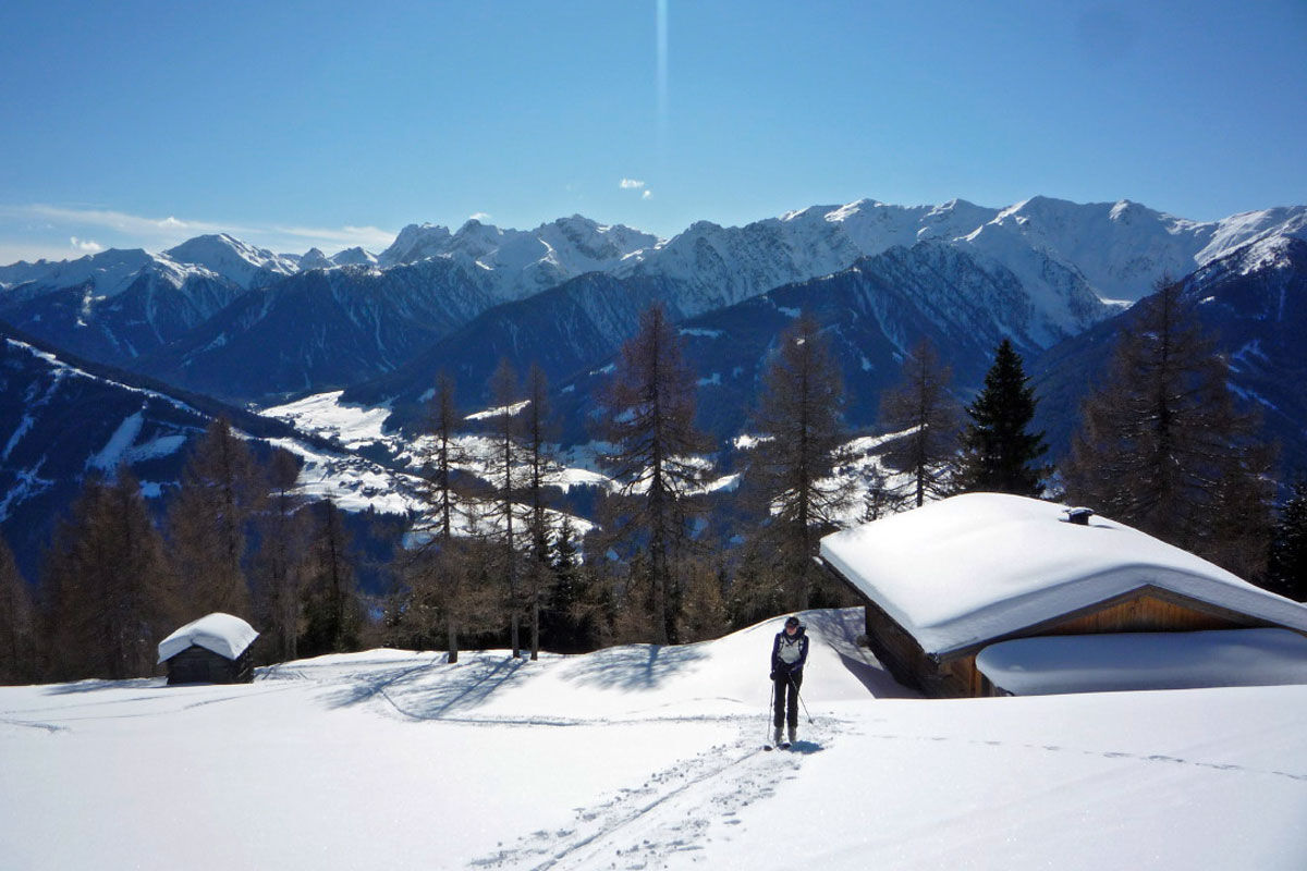
The wonderful Tessenberger Alm is situated to the north of the town of Heinfels in the sunny area of Pustertal and is a perfect tour destination for pleasure-seekers, sun-worshippers and those who are new to ski tours, who want to find out more about ski touring without any appreciable risk of avalanche. The Steinrastl is the highest point of the Tessenberger Alm high plateau and you can head there as an encore. The ski tour to Tessenberger Alm is only advisable in winter when snow is plentiful, due to its sunny setting. Starting point is on a slope terrace in the idyllically located parish of Tessenberg (1340 m). It is accessible from the town of Heinfels, parish of Panzendorf, via a 3 km mountain road which provides plenty of views which starts behind a little sports ground, where a forest trail then starts (1320 m, not much parking available). It is also possible to start out directly in the village and between the houses heading west for the fields. For the descent you can head on the pastures to the rural road. We now follow the forest trail to the first junction where the 5 km road to the Tessenberger Alm bears right (signposts). This is later used as the descent and for the ascent is somewhat monotonous. We head straight on at the junction (west) and soon leave the forest road at an Alpine inn which is bathed in sunshine. Across fantastic glades, interspersed with forested sections, the track now swings in a northerly direction uphill. Crossing the road on several occasions, after 1 ½ - 2 hours we get to the pretty Tessenberger Almrast (1940 m). The forest now becomes somewhat lighter and we follow the track briefly to the north-east, to more lovely Alpine inns at the start of a somewhat steep glade. This takes us in a few hairpin bends to the high plateau of the Tessenberger Alm, where we head north to the big cross on the Tessenberg (around 2130 m). Descent along the ascent track.
Additional ski tour tips can be obtained in the ski tour guides by Thomas Mariacher. These are available here: http://www.grafikzloebl.at/verlag/buecher/
Ruta
Tessenberg
(1.301 m)
Pueblo
0,0 km
Astrane
(1.804 m)
Corredor/terreno
3,9 km
Glinzzipf
(2.126 m)
Cumbre
5,8 km
Kühegg
(2.253 m)
Cumbre
7,1 km
Ruta
Ski tour Tessenberger Alm 1.950m
luz
Esquí de travesía
7,41
km
Tessenberg
(1.301 m)
Pueblo
0,0 km
Borzen
(1.596 m)
Corredor/terreno
2,4 km
Astrane
(1.804 m)
Corredor/terreno
3,9 km
Glinzzipf
(2.126 m)
Cumbre
5,8 km
Kühegg
(2.253 m)
Cumbre
7,1 km
Autor
Proporcionado por TVB Osttirol

Compartir gira
Ski tour Tessenberger Alm 1.950m
luz
Esquí de travesía
7,41
km
Error
Se ha producido un error. Por favor, inténtelo de nuevo.


Información de llegada
Llegada
Mit dem Auto bis nach Heinfels
Transporte público
Mit dem Bus bis zur Haltestelle "Panzendorf Gemeindeamt Heinfels"
Aparcamiento
Parkplatz Gemeindeamt Heinfels
Aún no hay opiniones
Infórmate
Siempre en directo con más de 9.500 webcams. bergfex Como usuario Pro, ahora puede ver las webcams correspondientes a muchos tours en la app de tours desde. Esto le permite ver las condiciones actuales directamente.
Rutas populares en los alrededores
-
4,5
Kartitsch-Obstansersee Hütte
medioSenderismo 13,1 km -
4,8
Rotwandwiesen kreuzbergpass rundweg
medioSenderismo 12,0 km -
3,9
Rotwandspitze
medioVía ferrata 10,6 km -
4,8
Von Kalkstein auf das Toblacher Pfannhorn (2.663 m) und Marchkinkele
medioSenderismo 14,2 km -
4,3
Connyalm (2.070 m)
Senderismo 6,36 km -
4,1
Helm und Sillianer Hütte
luzSenderismo 8,17 km -
5,0
Porzehütte (1.942 m)
luzSenderismo 9,01 km -
4,8
Sillianer Hütte 2.447 m
medioSenderismo 16,8 km -
4,9
Fischleintalhütte - Rotwandwiesen - Rotwandköpfe - Talschlusshütte- Fischleintalhütte
medioSenderismo 13,4 km -
5,0
Karnischer Höhenweg – Etappe 2: Obstansersee Hütte – Porzehütte
pesadoSendero de largo recorrido 12,0 km
Senderismo y rastreo

Más de 550.000 sugerencias de excursiones, mapas detallados y un intuitivo planificador de rutas hacen de esta aplicación una herramienta imprescindible para todos los amantes de la naturaleza.

No se pierda las ofertas y la inspiración para sus próximas vacaciones
Suscribirse al boletín de noticias
Error
Se ha producido un error. Por favor, inténtelo de nuevo.
Gracias por inscribirse
Su dirección de correo electrónico se ha añadido a la lista de correo.
Viajes por Europa
Austria
Suiza
Alemania
Italia
Eslovenia
Francia
Países Bajos
Belgium
Polonia
Liechtenstein
República Checa
Slovakia
España
Croacia
Bosnia y Herzegovina
Luxemburgo
Andorra
Portugal
Iceland
United Kingdom
Ireland
Greece
Albania
North Macedonia
Malta
Norway
Montenegro
Moldova
Kosovo
Hungary
San Marino
Romania
Estonia
Latvia
Belarus
Cyprus
Lithuania
Serbia
Bulgaria
Monaco
Denmark
Sweden
Finland





