Strasskopf 2.401m from Iselsberg
luz
Consigue este tour en tu móvil
Strasskopf 2.401m from Iselsberg
luz
Esquí de travesía
7,07
km
Escanee el código QR e inicie la navegación en la aplicación bergfex


Senderismo y rastreo





Strasskopf 2.401m from Iselsberg
luz
Distancia
7,07
km
Duración
04:00
h
Ascenso
1.024
m
Nivel del mar
1.327 -
2.379
m
Descarga de pistas
Strasskopf 2.401m from Iselsberg
luz
Esquí de travesía
7,07
km
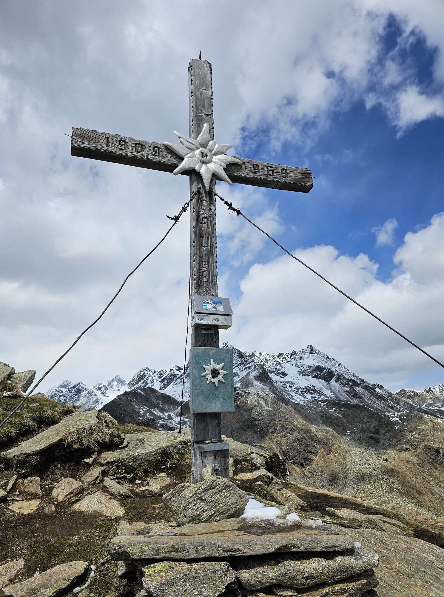
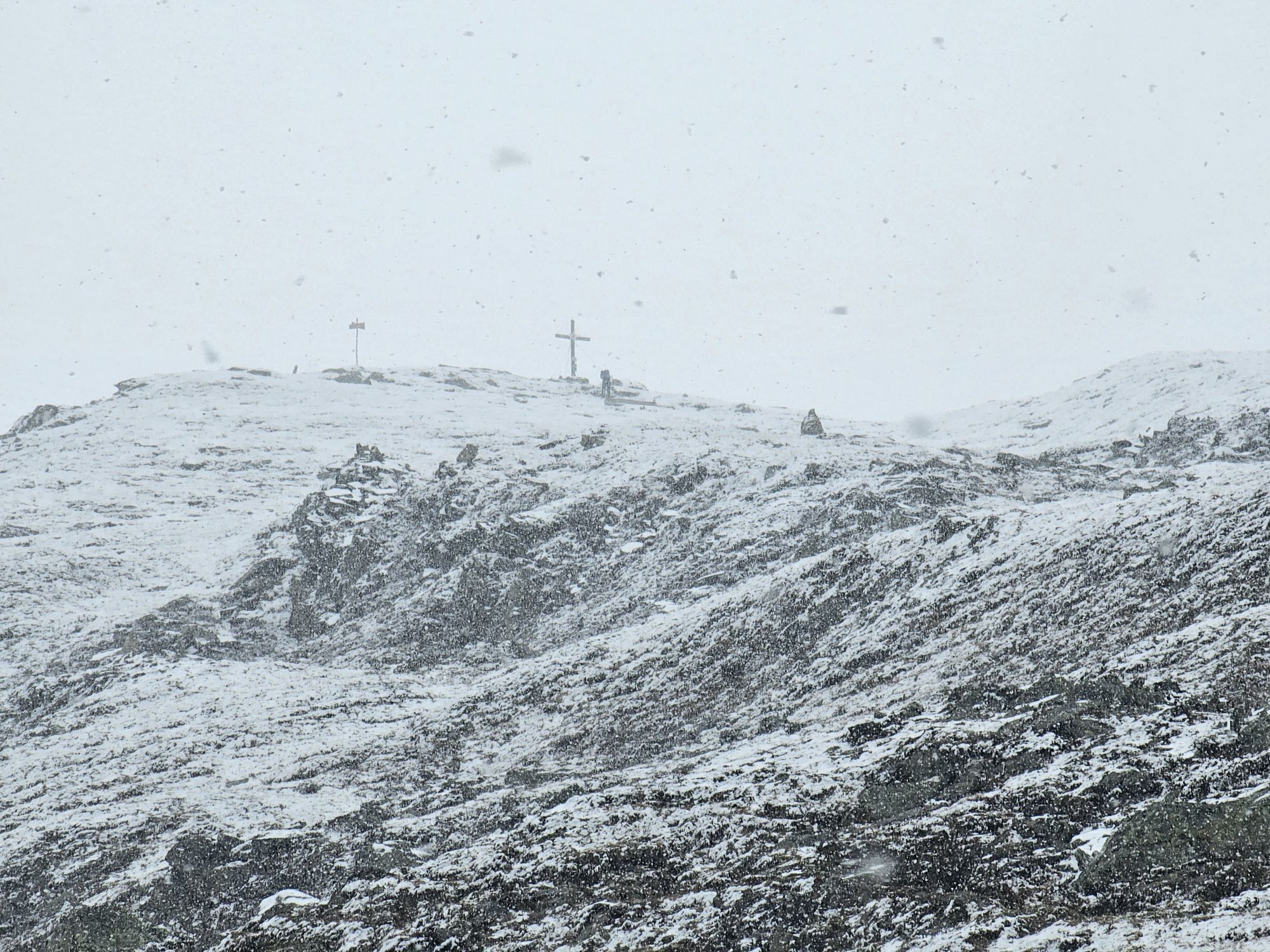
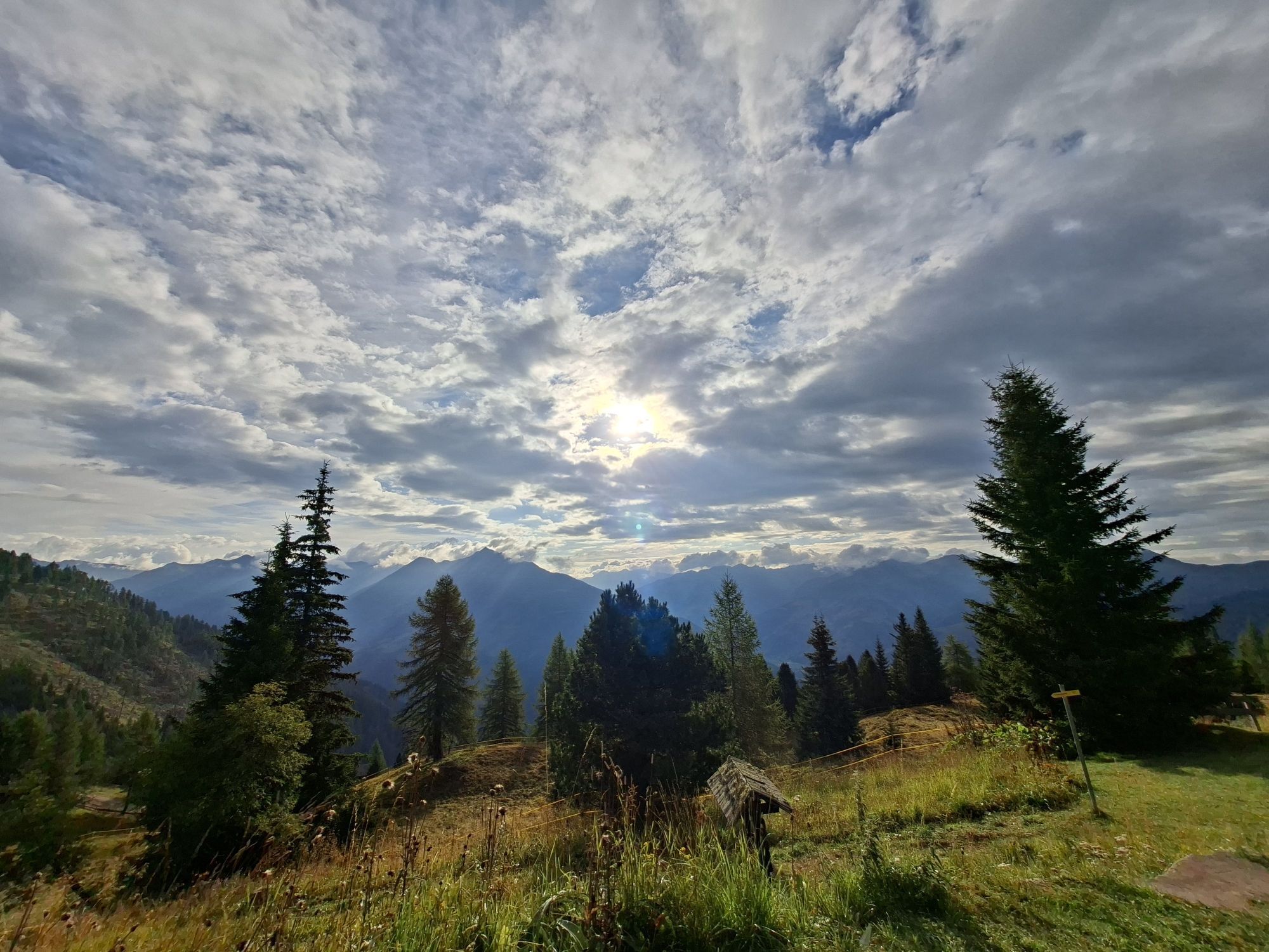
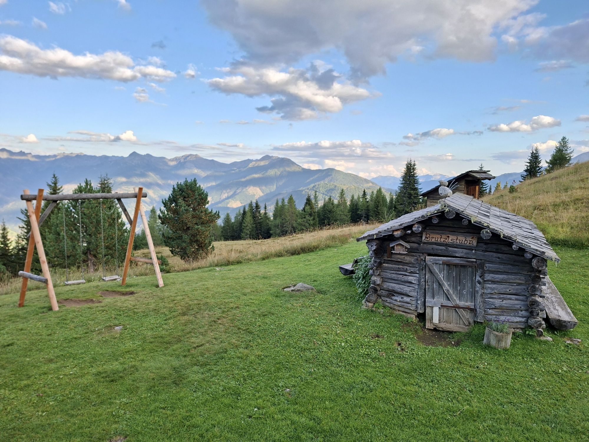
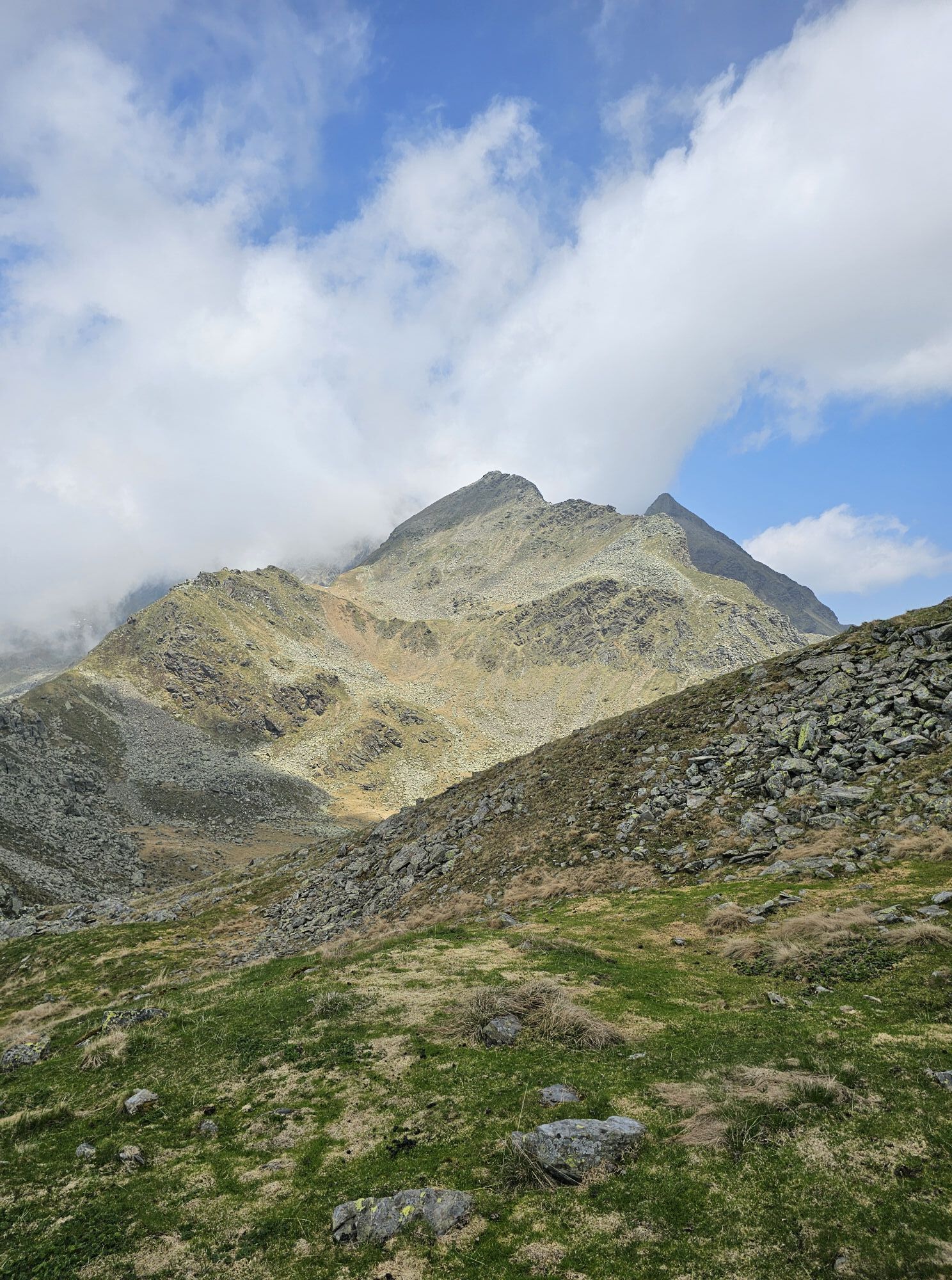
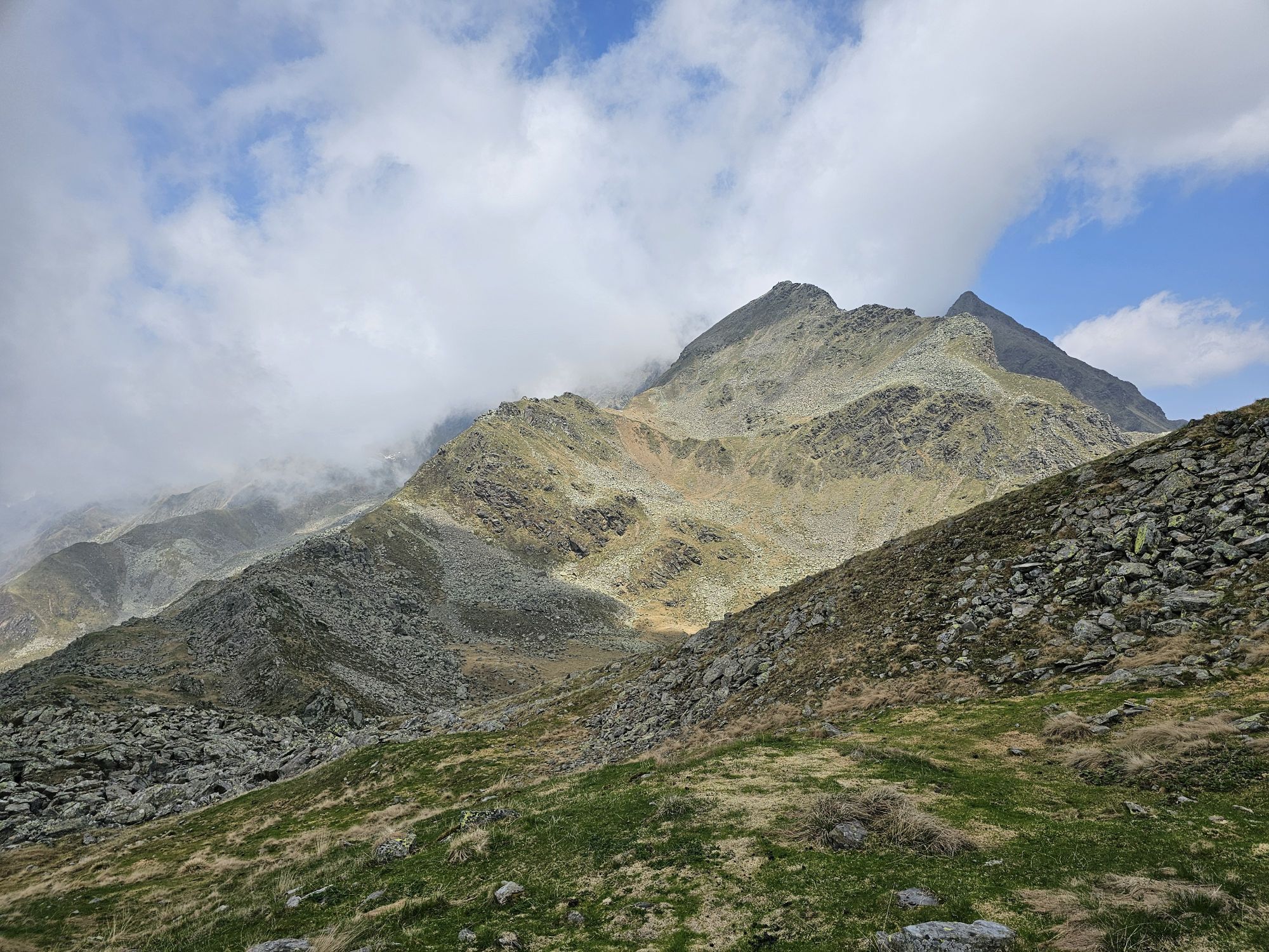
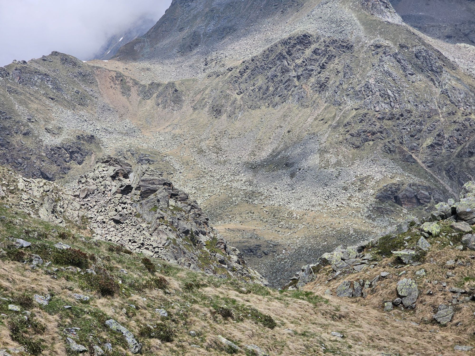
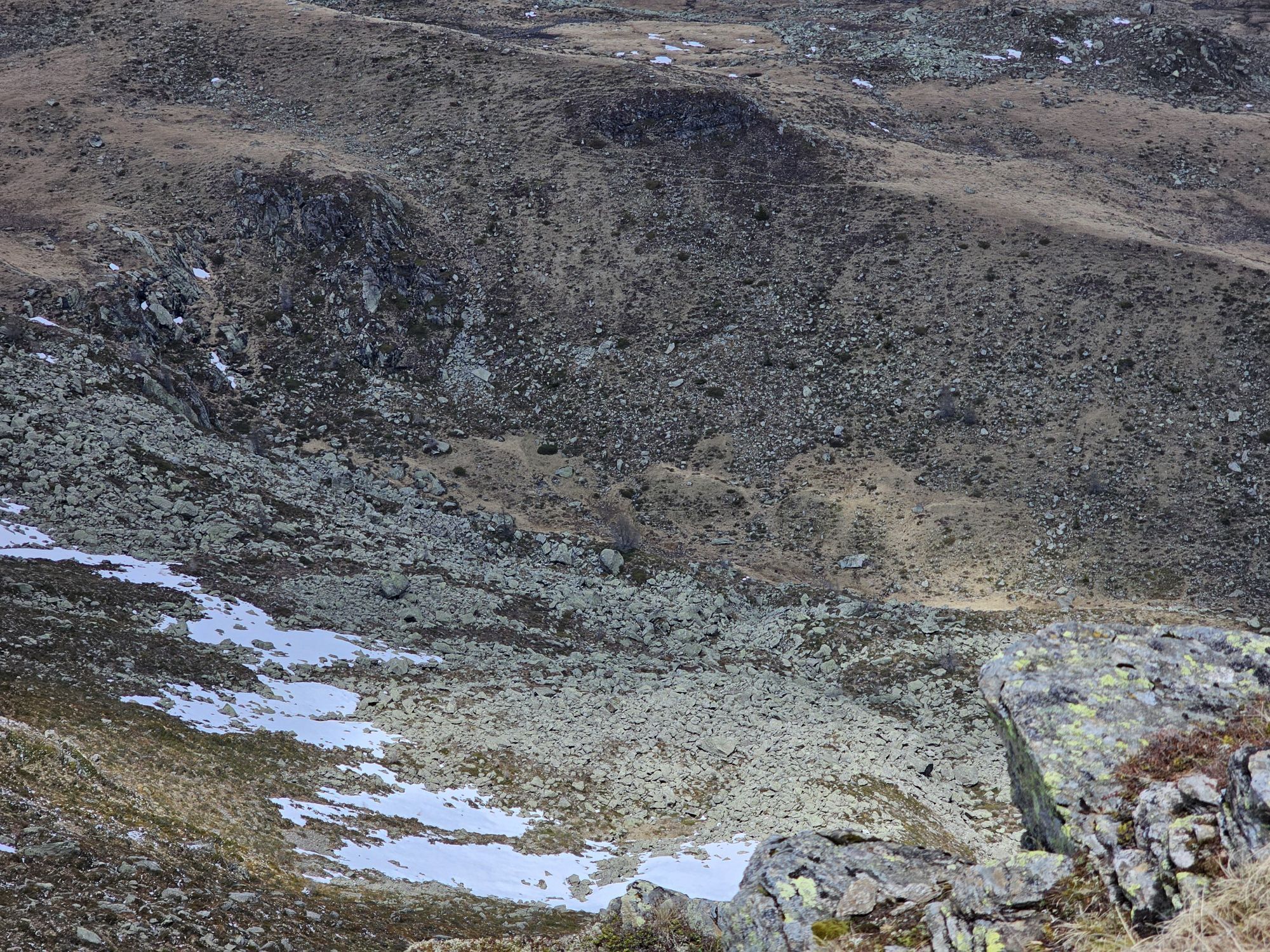
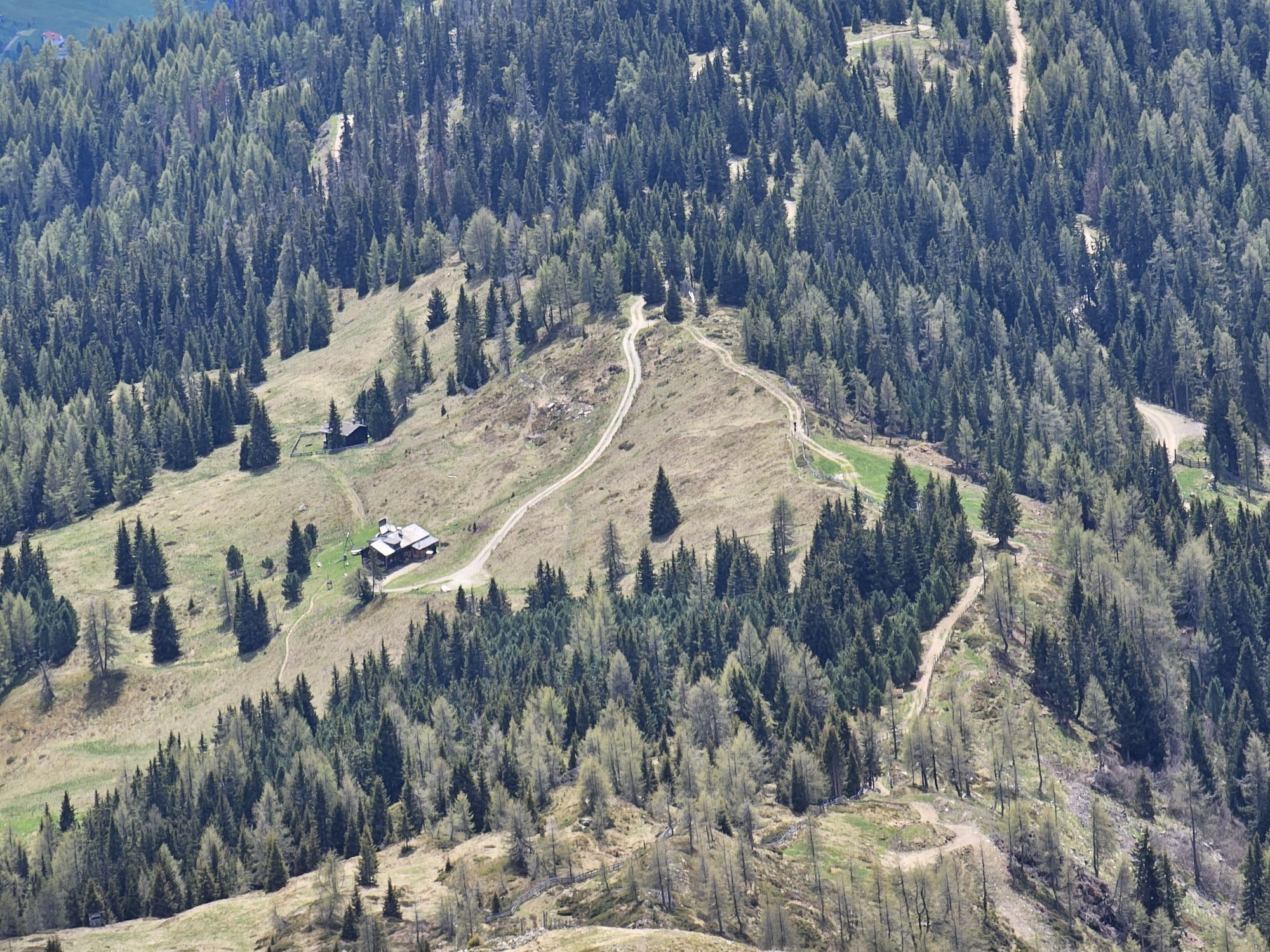
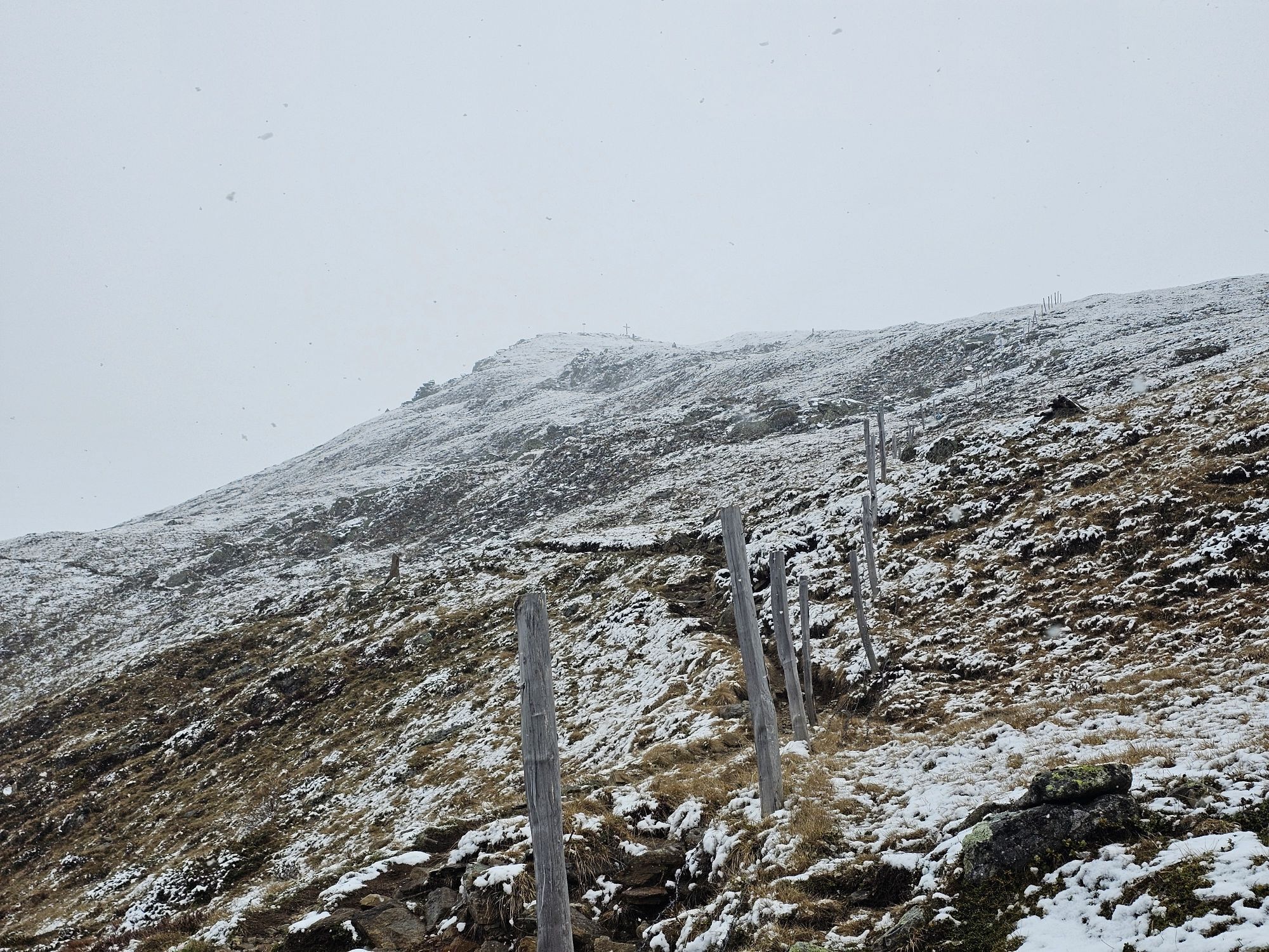
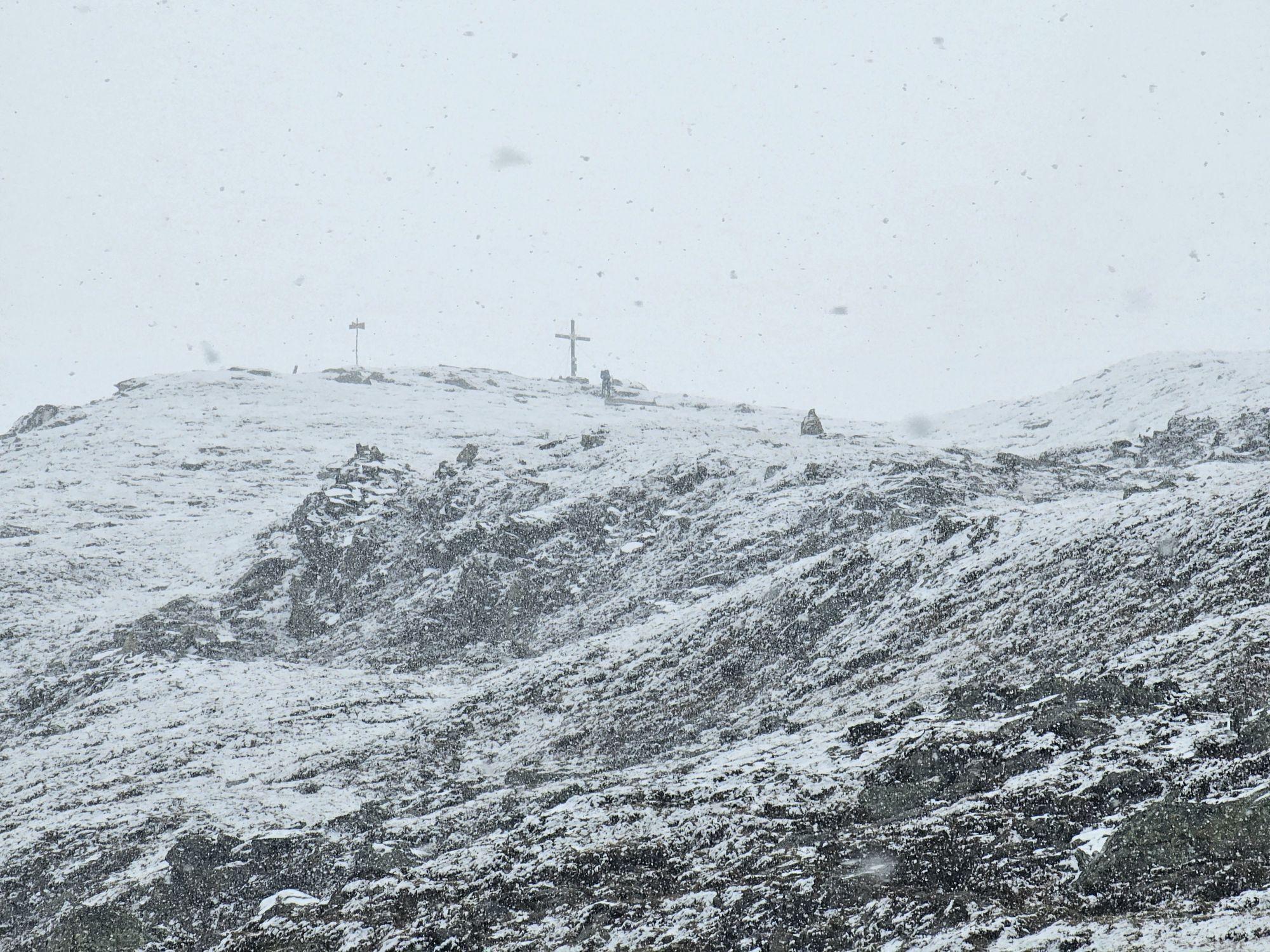




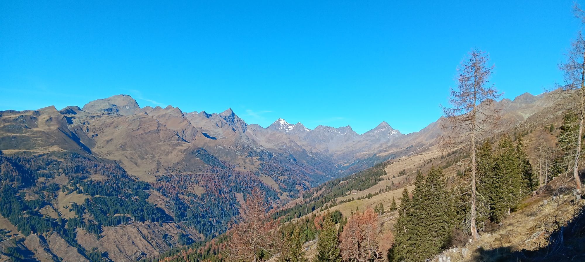
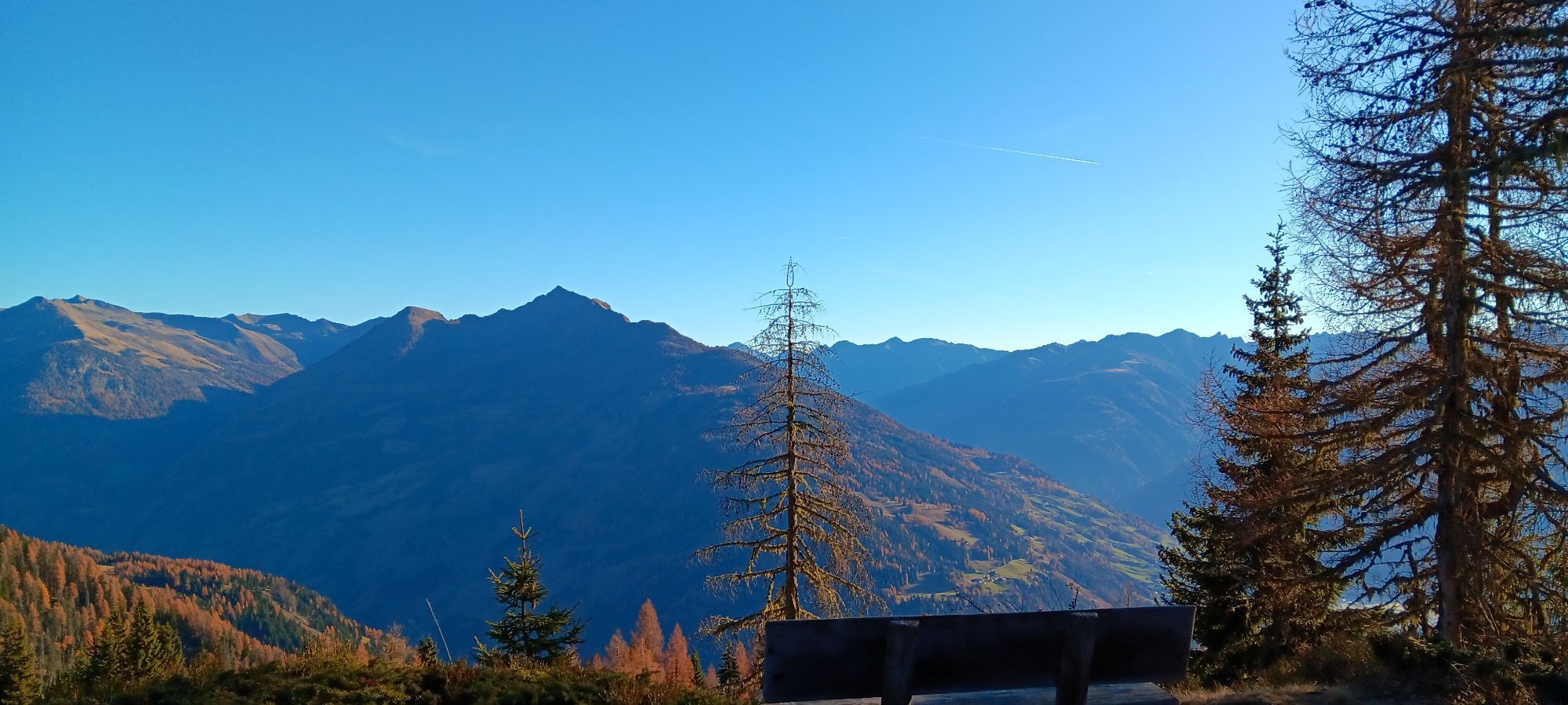
The Strassboden, usually known as Strasskopf, is a popular ski tour on the eastern foothills of the Schobergruppe. The panoramic peak overlooks the Winklerner and Roaner Alm and, with its gentle slopes,...
Descripción de la
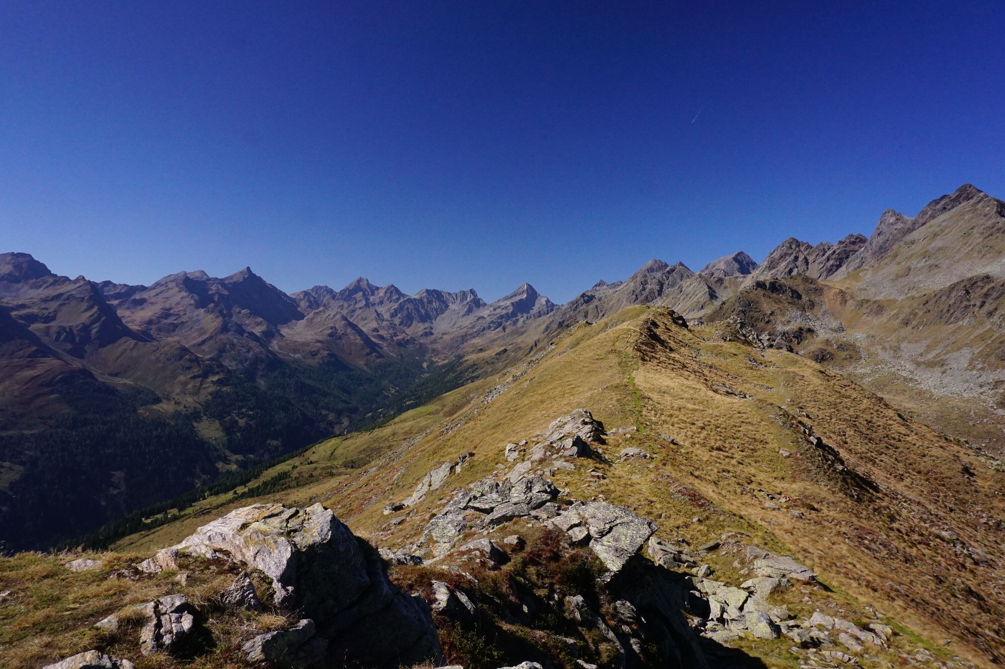
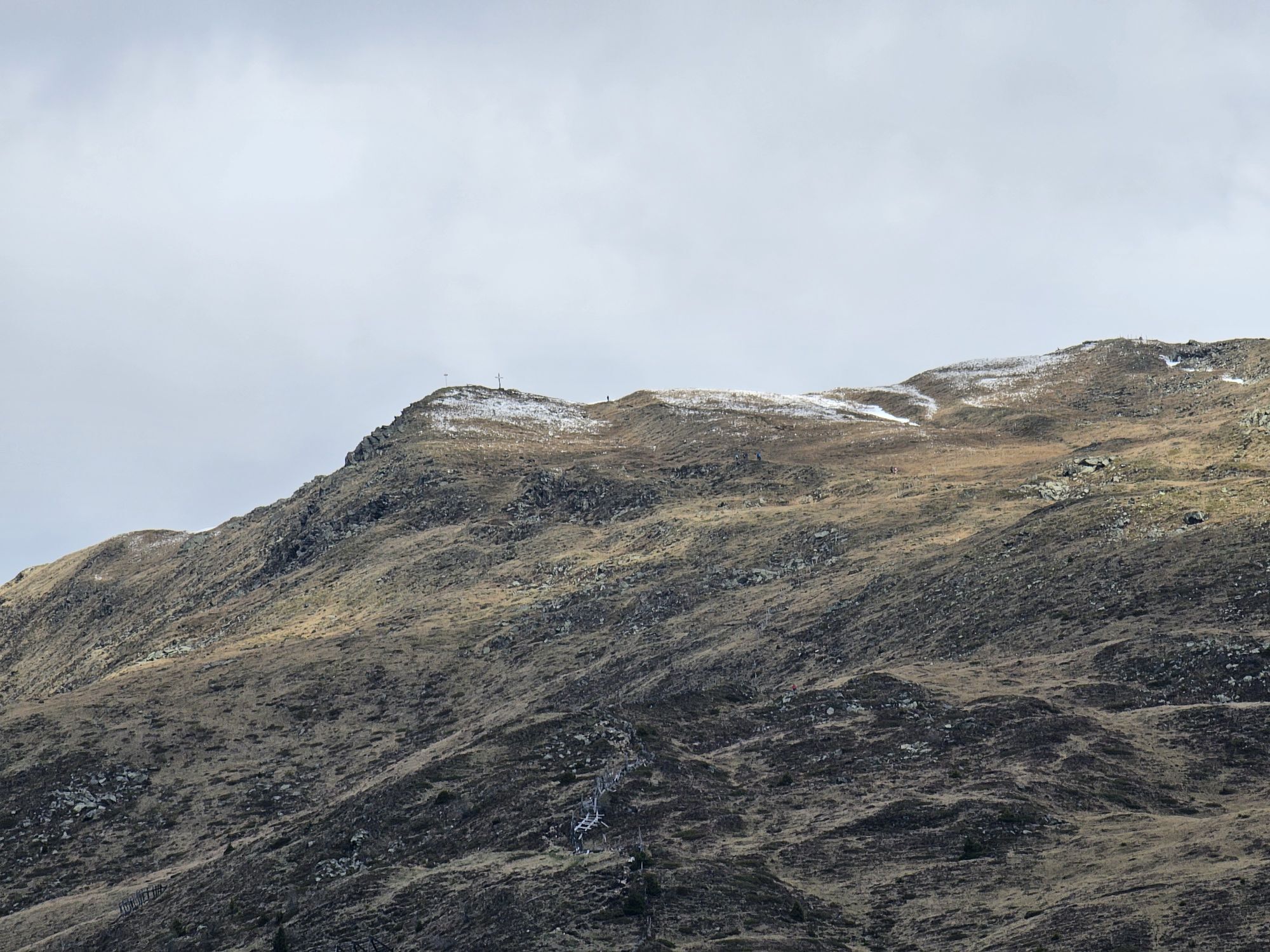
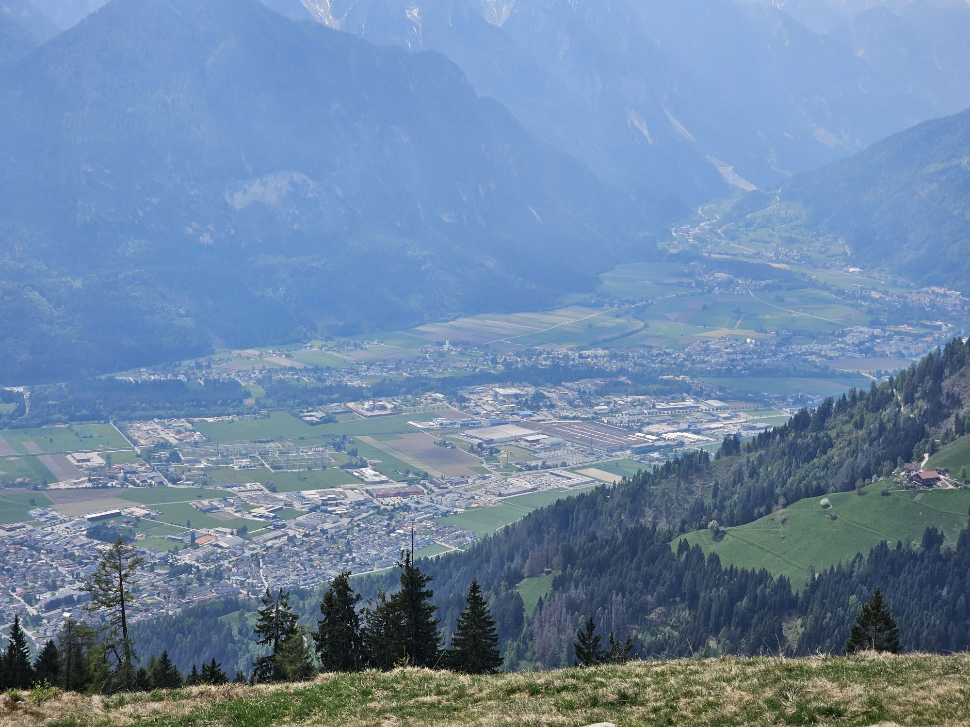
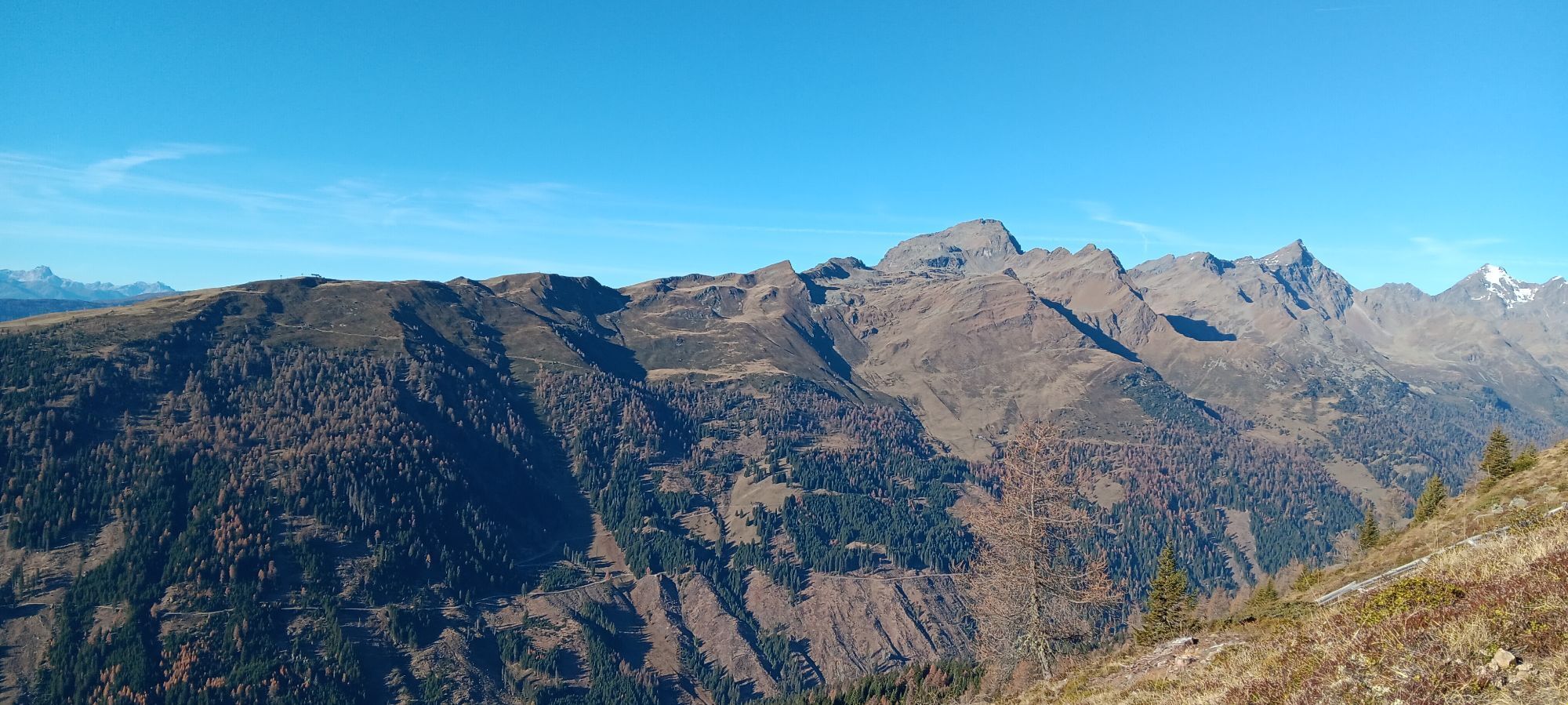
The Strassboden, usually known as Strasskopf, is a popular ski tour on the eastern foothills of the Schobergruppe. The panoramic peak overlooks the Winklerner and Roaner Alm and, with its gentle slopes, is a perfect destination for beginners and novices as well. Halfway up is the Winklerner Hütte of the ÖAV (1,843 m). It is open and staffed at weekends. A stop for refreshments on the way down compensates for any exertions.
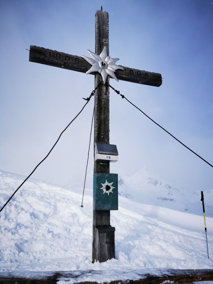
The starting point for our ski tour is the Schöne Aussicht car park, which is also the car park for the toboggan run at the Roaner Alm - subject to a charge! At the beginning you follow the toboggan run past the barrier and can turn left into the forest at the first bend. This shortcut trail is moderately to moderately steep and always offers beautiful viewpoints at clearings. After about 1h you pass the first alpine pastures (Lugger- and Straganzalmen) and follow the wide ascent track straight on. The long ridge is easy to walk on and you can either turn right to the Winklerner Hütte or left to the Roaner Alm. Above the timberline, the ascent track runs more to the left in several serpentines, but never very steep. After approx. 4 hours you reach the summit and are rewarded with a great view (Schobergruppe, Goldberggruppe, Kreuzeckgruppe, Dolomites, Hohe Tauern,...). The descent first follows the ascent track, after the long ridge you ski down the last part via the toboggan run.
You can get more ski tour tips in the ski tour guides by Thomas Mariacher, available at http://www.grafikzloebl.at/verlag/buecher/
The starting point for our ski tour is the Schöne Aussicht car park, which is also the car park for the toboggan run at the Roaner Alm - subject to a charge! At the beginning you follow the toboggan run past the barrier and can turn left into the forest at the first bend. This shortcut trail is moderately to moderately steep and always offers beautiful viewpoints at clearings. After about 1h you pass the first alpine pastures (Lugger- and Straganzalmen) and follow the wide ascent track straight on. The long ridge is easy to walk on and you can either turn right to the Winklerner Hütte or left to the Roaner Alm. Above the timberline, the ascent track runs more to the left in several serpentines, but never very steep. After approx. 4 hours you reach the summit and are rewarded with a great view (Schobergruppe, Goldberggruppe, Kreuzeckgruppe, Dolomites, Hohe Tauern,...). The descent first follows the ascent track, after the long ridge you ski down the last part via the toboggan run.
You can get more ski tour tips in the ski tour guides by Thomas Mariacher, available at http://www.grafikzloebl.at/verlag/buecher/
Ruta
Lugger Alm
(1.640 m)
Refugio
2,0 km
Geiersbichl
(1.849 m)
Corredor/terreno
3,6 km
Strasskopf
(2.401 m)
Cumbre
7,0 km
Ruta
Strasskopf 2.401m from Iselsberg
luz
Esquí de travesía
7,07
km
Lugger Alm
(1.640 m)
Refugio
2,0 km
Geiersbichl
(1.849 m)
Corredor/terreno
3,6 km
Strasskopf
(2.401 m)
Cumbre
7,0 km
Autor
Proporcionado por TVB Osttirol

Compartir gira
Strasskopf 2.401m from Iselsberg
luz
Esquí de travesía
7,07
km
Error
Se ha producido un error. Por favor, inténtelo de nuevo.
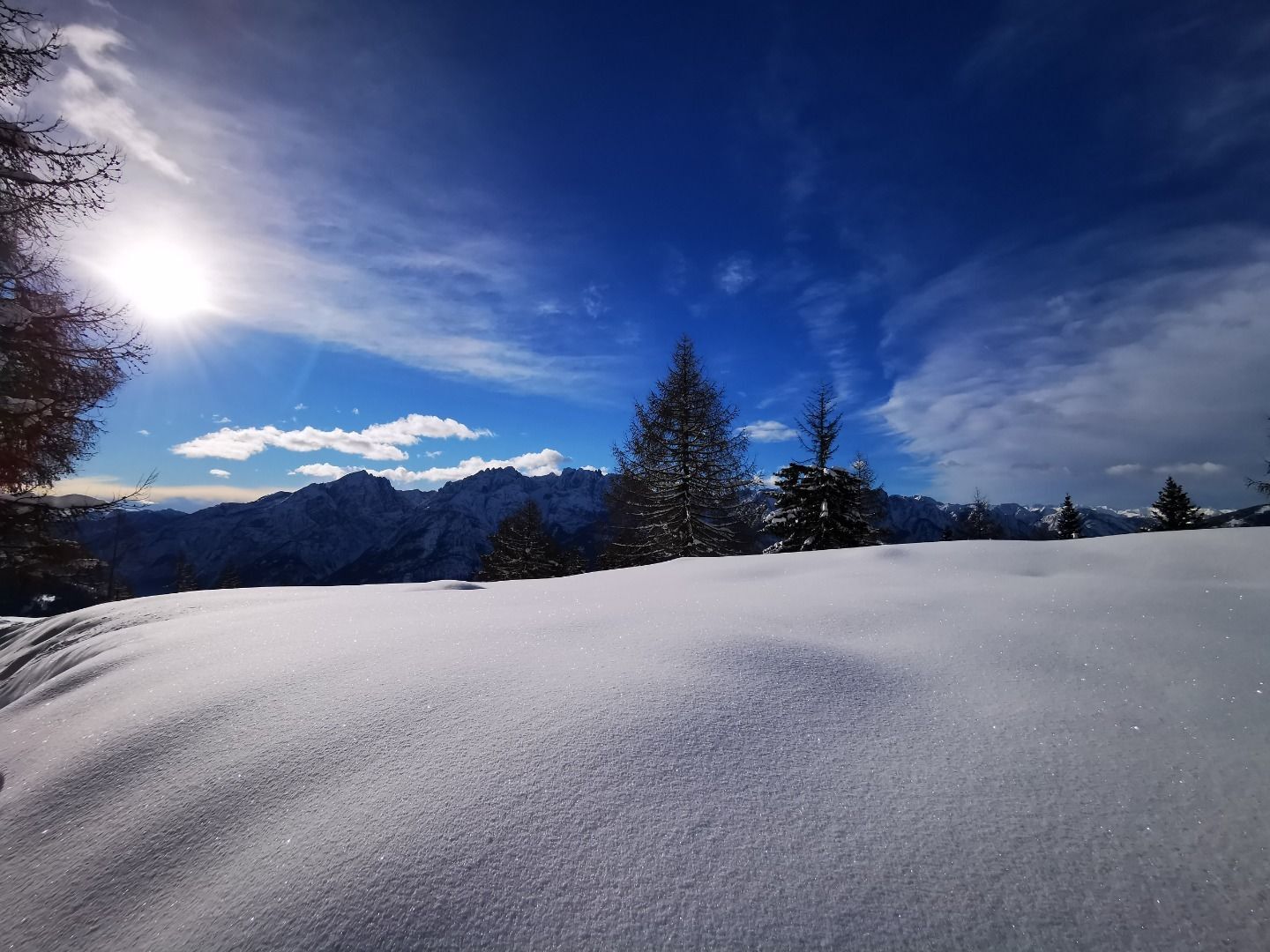
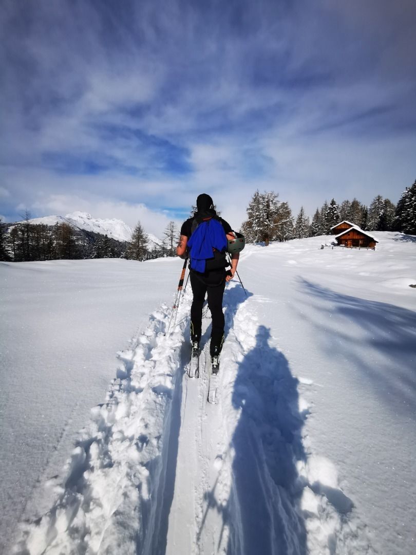

Información de llegada
Llegada
By car from Lienz to the Iselsberg. Shortly after the Iselsberg Pass, we turn left - look out for the Winklerner Alm signposts.
Valoraciones
 Infórmate
Siempre en directo con más de 9.500 webcams. bergfex Como usuario Pro, ahora puede ver las webcams correspondientes a muchos tours en la app de tours desde. Esto le permite ver las condiciones actuales directamente.
Infórmate
Siempre en directo con más de 9.500 webcams. bergfex Como usuario Pro, ahora puede ver las webcams correspondientes a muchos tours en la app de tours desde. Esto le permite ver las condiciones actuales directamente.
Rutas populares en los alrededores
-
5,0
Recorrido Ederplan desde el aparcamiento de Stronach
medioSenderismo 7,19 km -
4,9
Wangennitzsee Hütte
medioSenderismo 3,80 km -
4,7
Karlsbader Hütte über Rudl-Eller-Weg
pesadoSenderismo 5,10 km -
4,8
Pirknerklamm (C)
medioVía ferrata 2 km -
4,8
Lienzer Dolomiten-Lasertörl
medioSenderismo 13,2 km -
4,7
Glödis 3206m: PP Seichenbrunn, Lienzer Hütte, Glödis KS A/B
pesadoExcursión de alta montaña 16,1 km -
4,2
De Gradental a la cabaña Adolf Nossberger - recorrido circular
medioSenderismo 11,1 km -
4,0
Karlsbader Hütte - Lienzer Dolomiten
Senderismo 8 km -
4,7
Karlsbader Hütte
medioMountainbike 13,4 km -
4,2
Straßkopf
medioSenderismo 4,06 km
Senderismo y rastreo

Más de 550.000 sugerencias de excursiones, mapas detallados y un intuitivo planificador de rutas hacen de esta aplicación una herramienta imprescindible para todos los amantes de la naturaleza.

No se pierda las ofertas y la inspiración para sus próximas vacaciones
Suscribirse al boletín de noticias
Error
Se ha producido un error. Por favor, inténtelo de nuevo.
Gracias por inscribirse
Su dirección de correo electrónico se ha añadido a la lista de correo.
Viajes por Europa
Austria
Suiza
Alemania
Italia
Eslovenia
Francia
Países Bajos
Belgium
Polonia
Liechtenstein
República Checa
Slovakia
España
Croacia
Bosnia y Herzegovina
Luxemburgo
Andorra
Portugal
Iceland
United Kingdom
Ireland
Greece
Albania
North Macedonia
Malta
Norway
Montenegro
Moldova
Kosovo
Hungary
San Marino
Romania
Estonia
Latvia
Belarus
Cyprus
Lithuania
Serbia
Bulgaria
Monaco
Denmark
Sweden
Finland





