






Ehrwalder Alm - Igelsee - Gaistallift
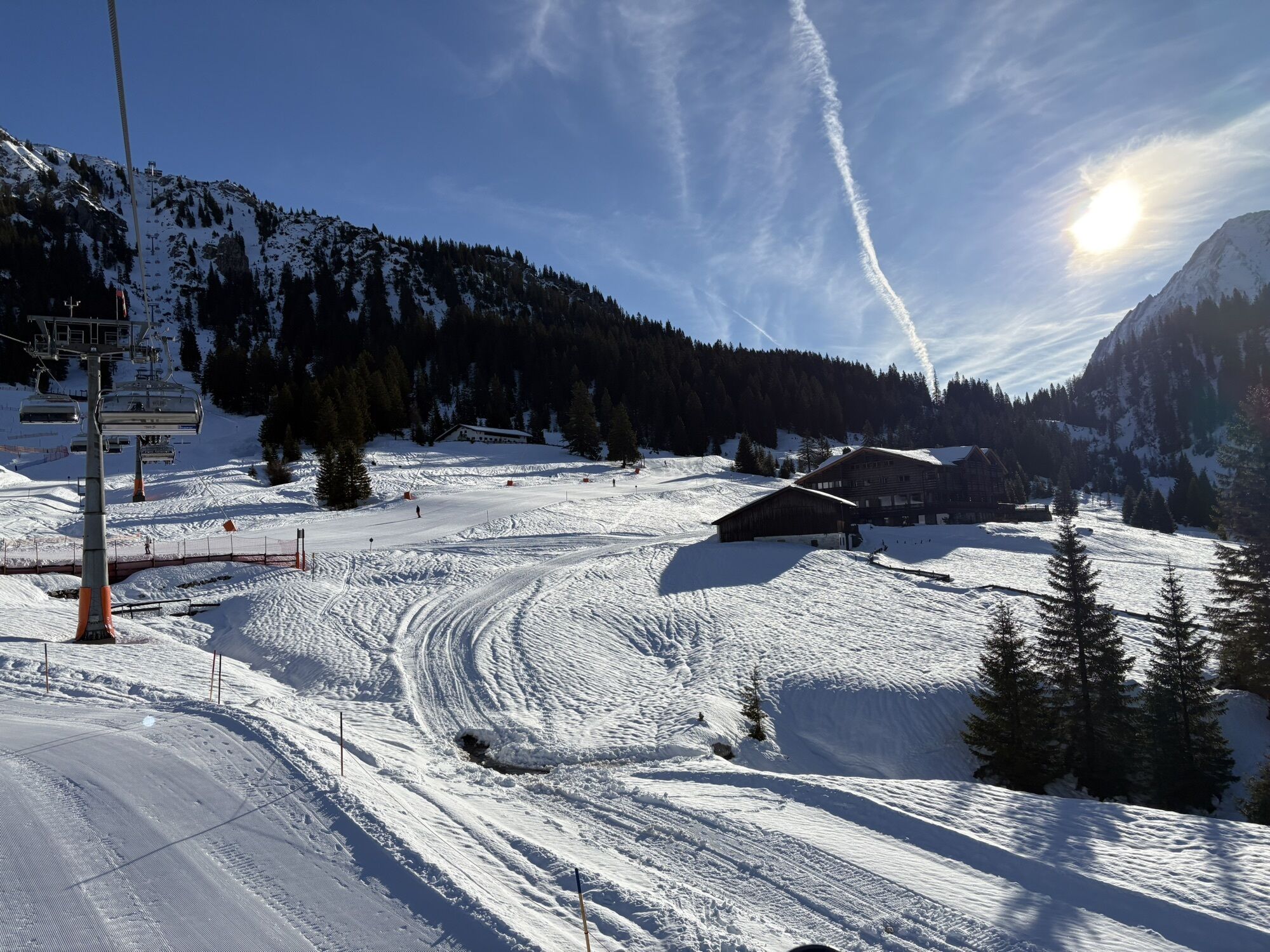
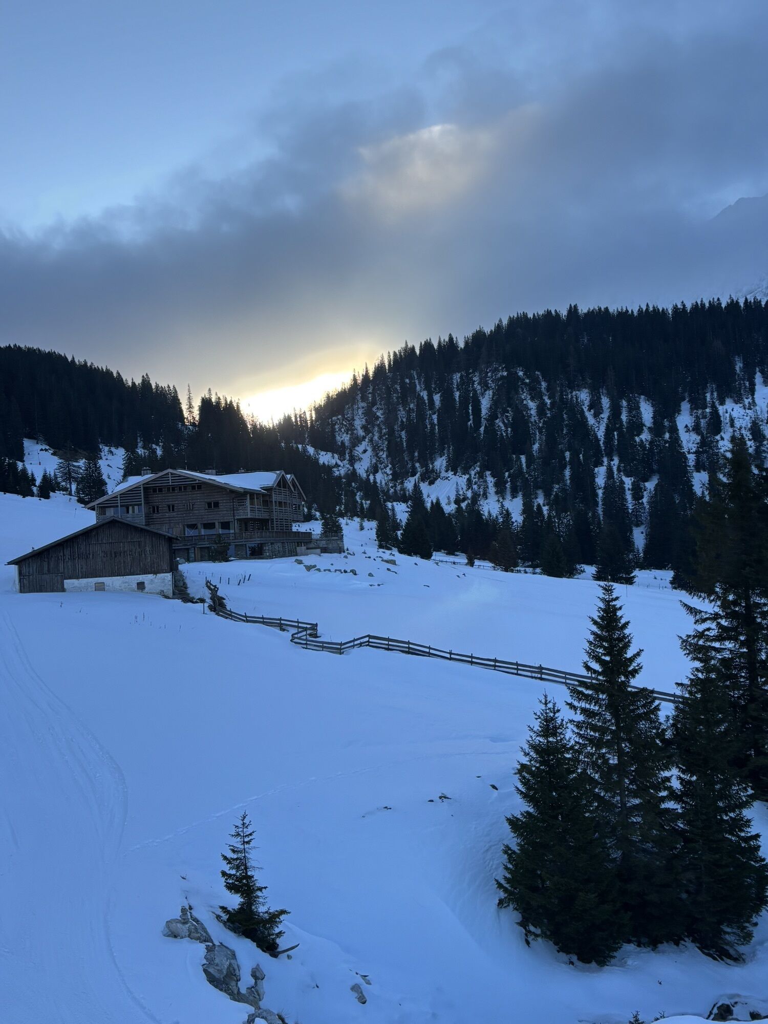
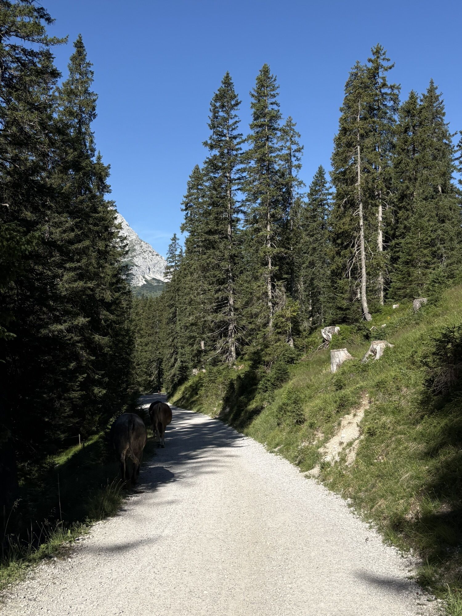
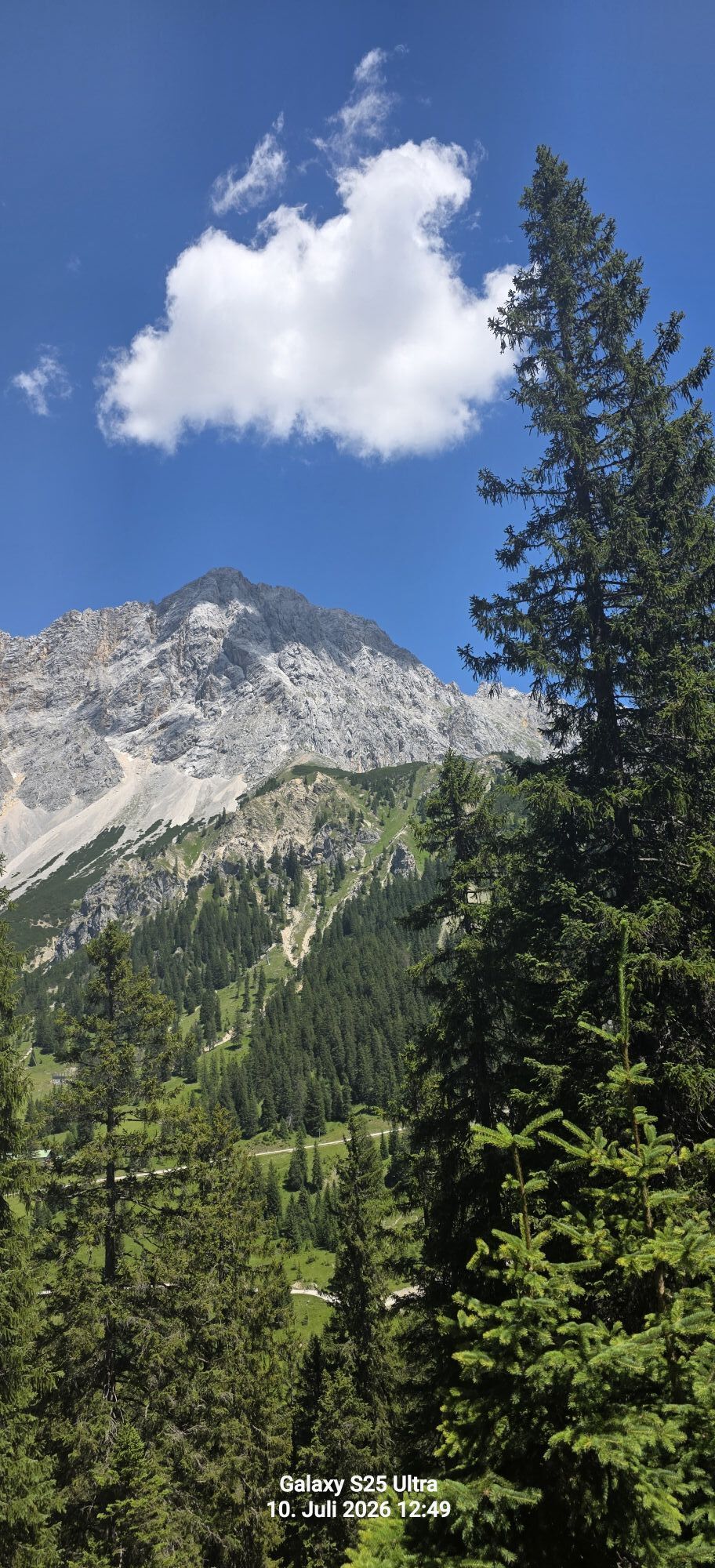
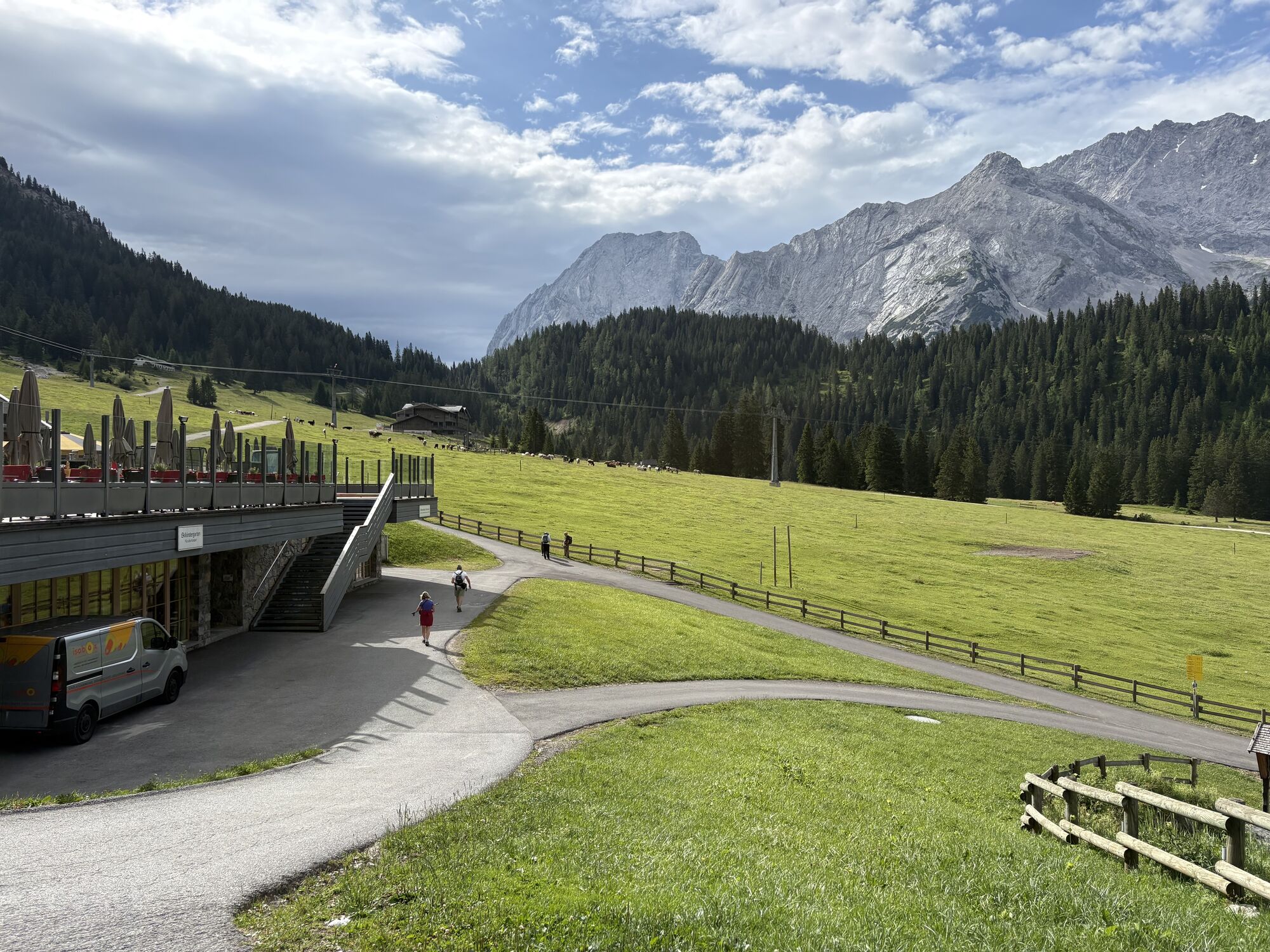
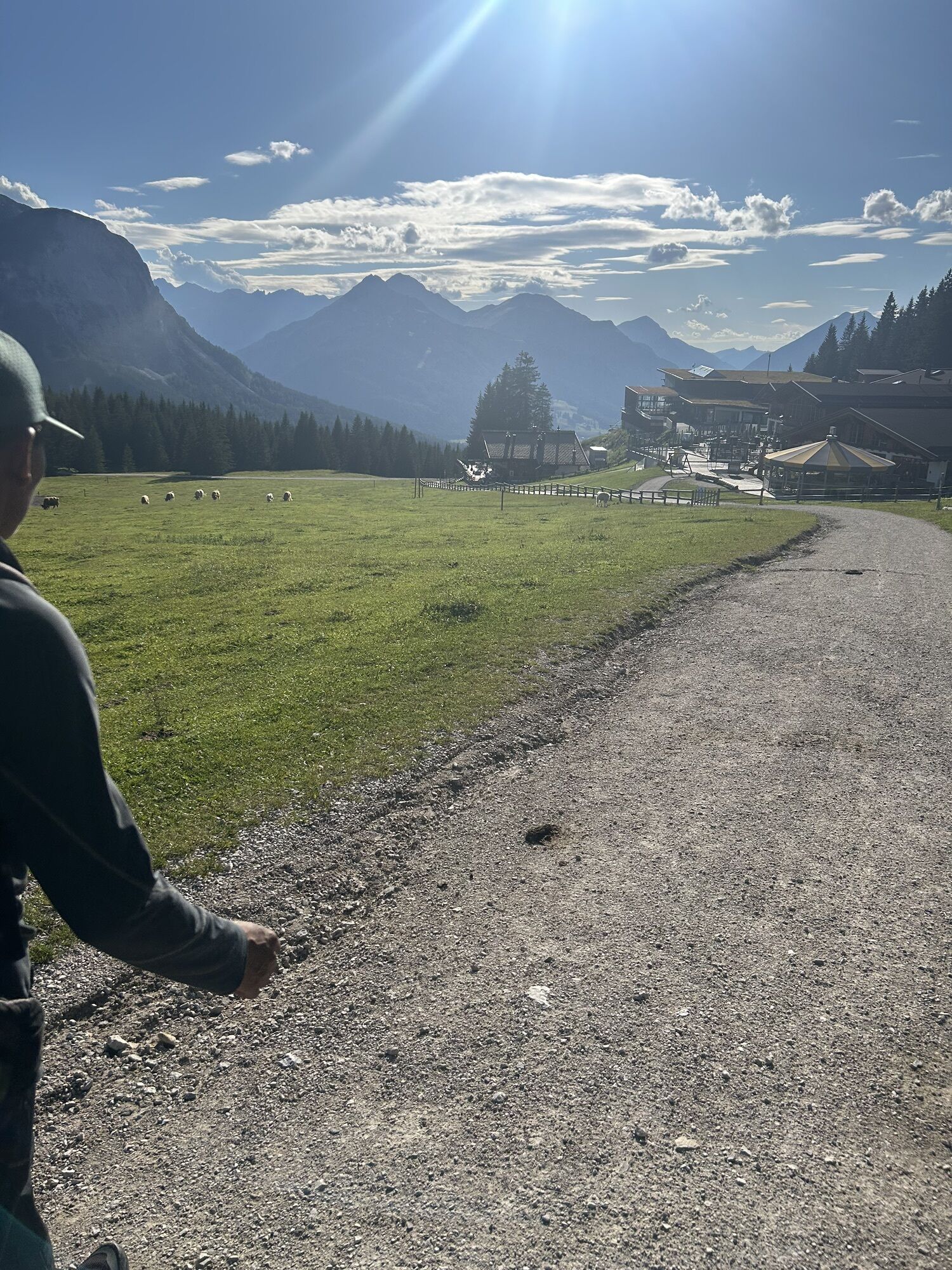
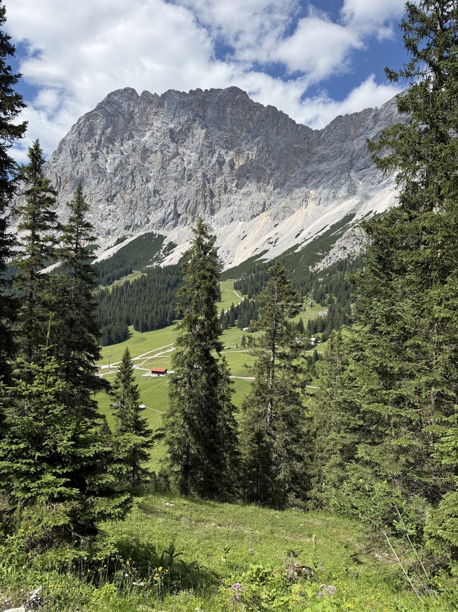
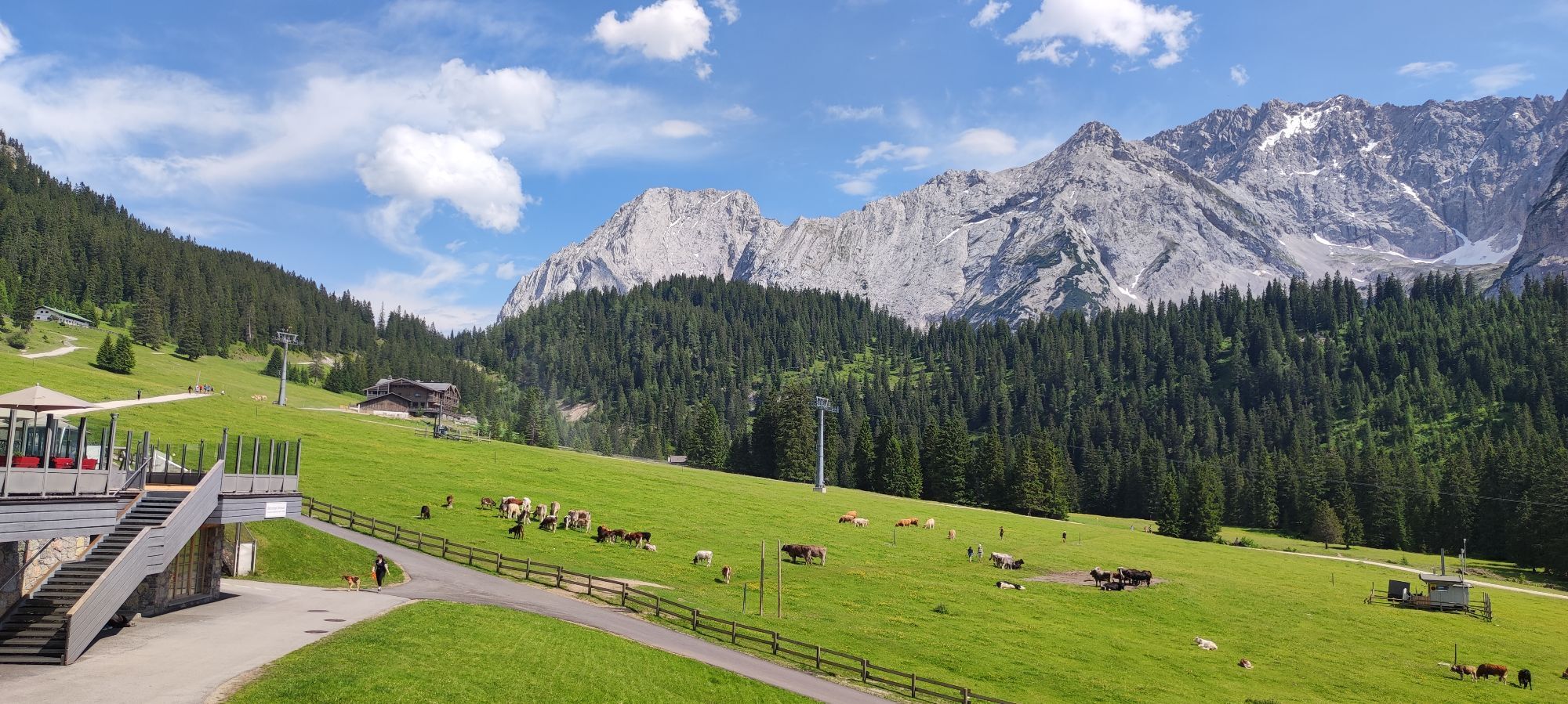
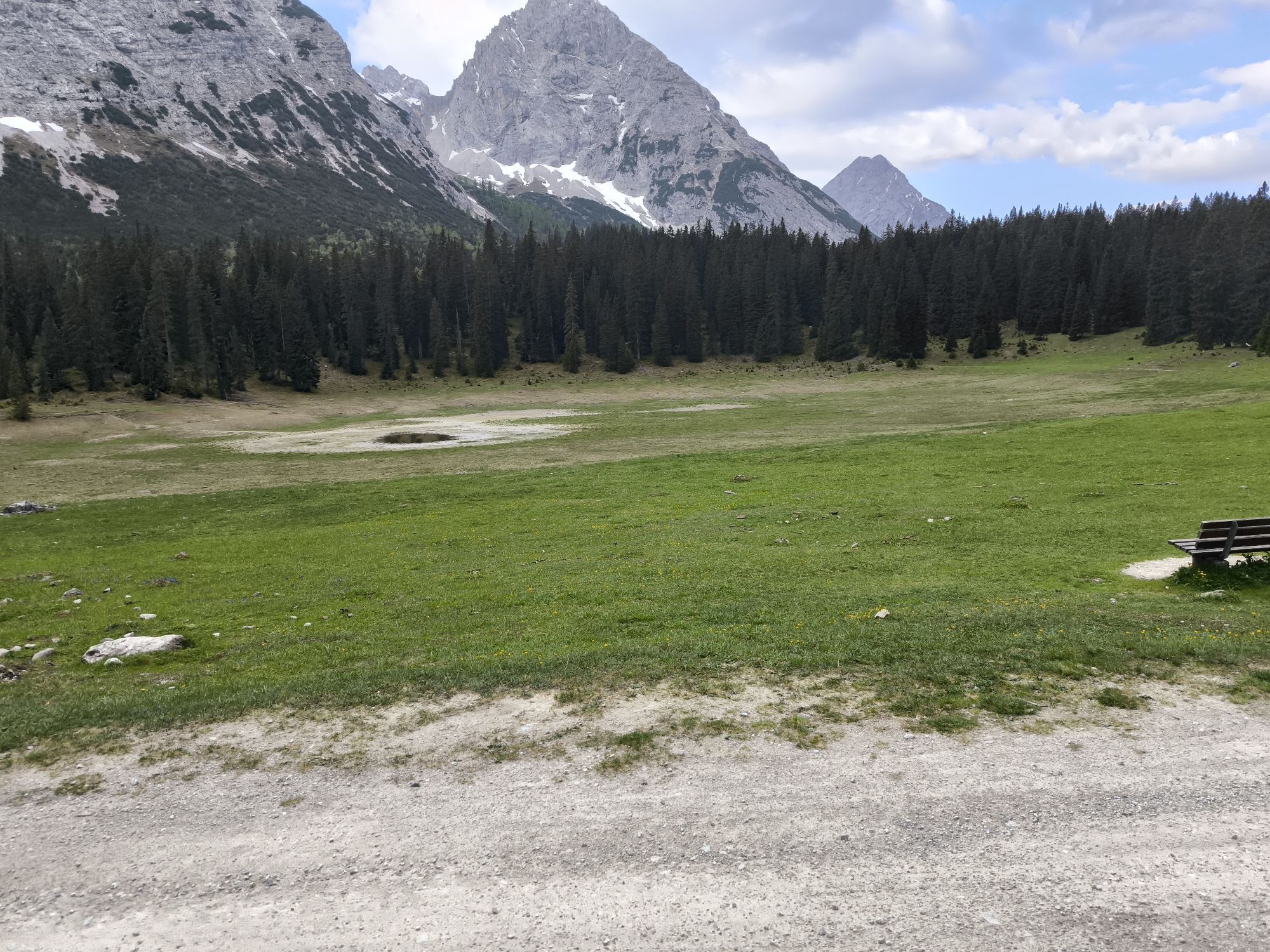
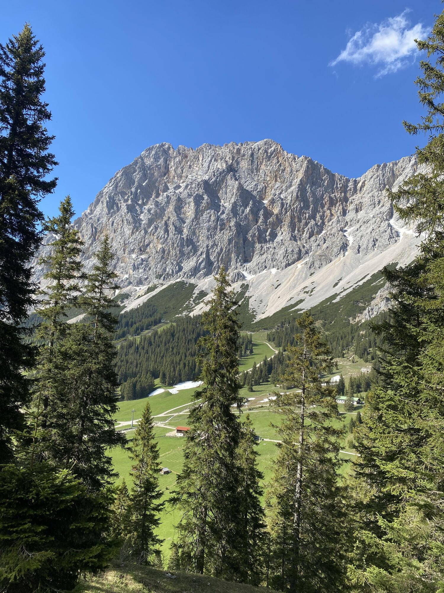
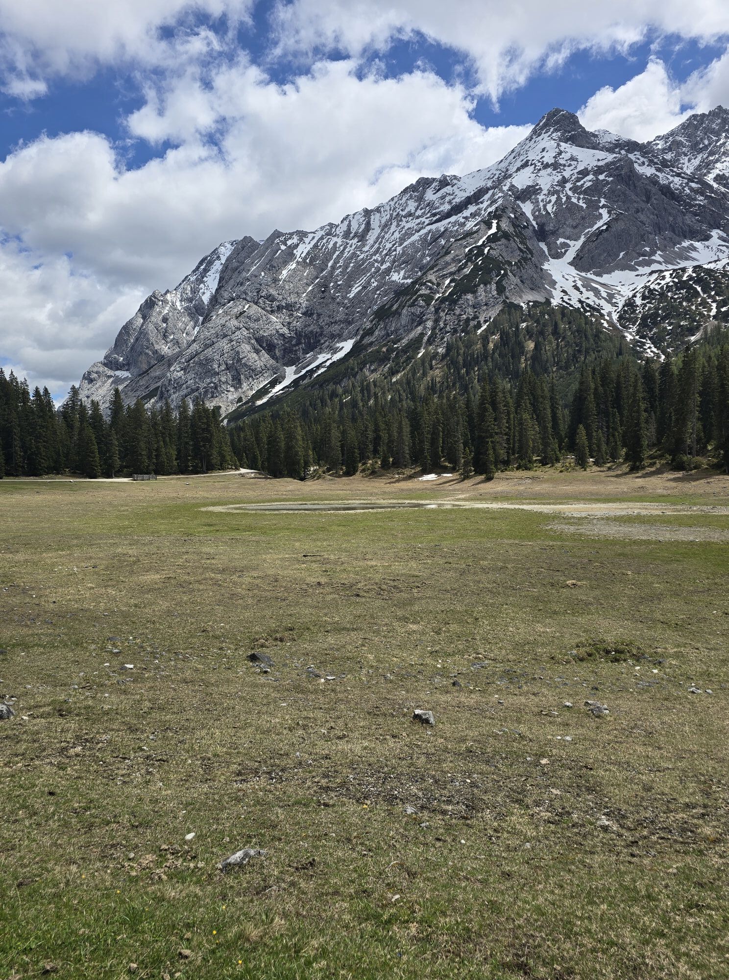
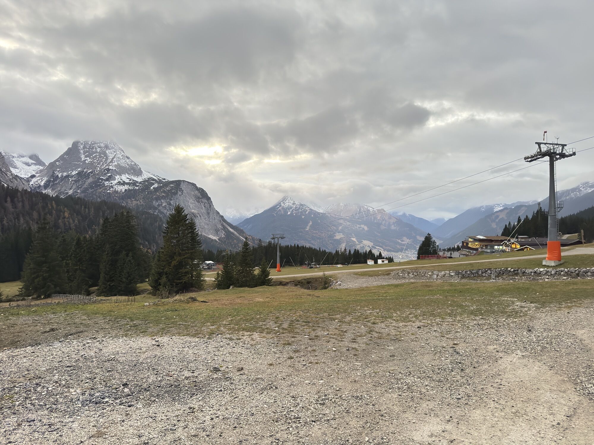
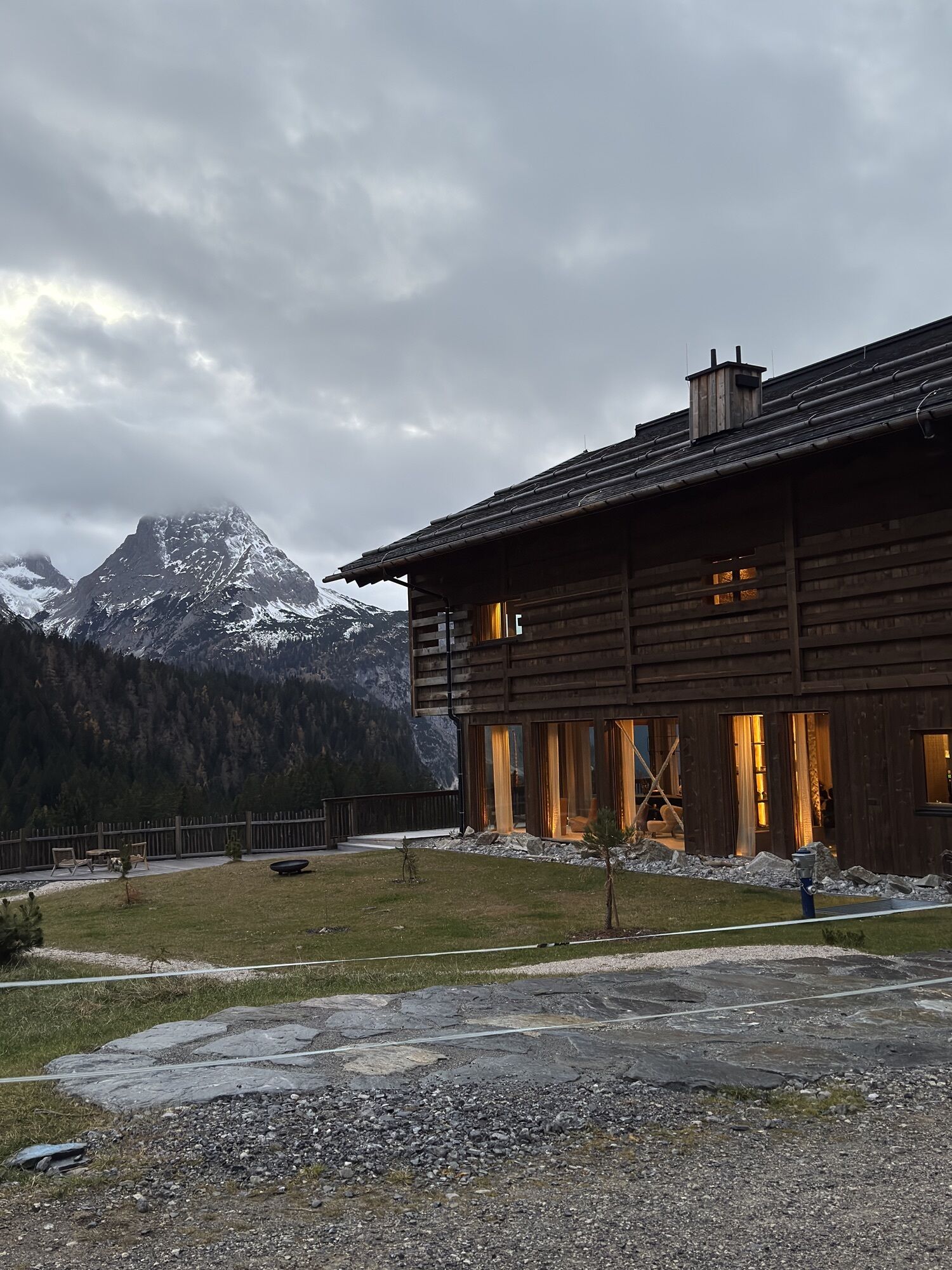
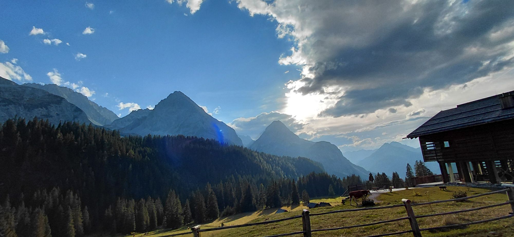
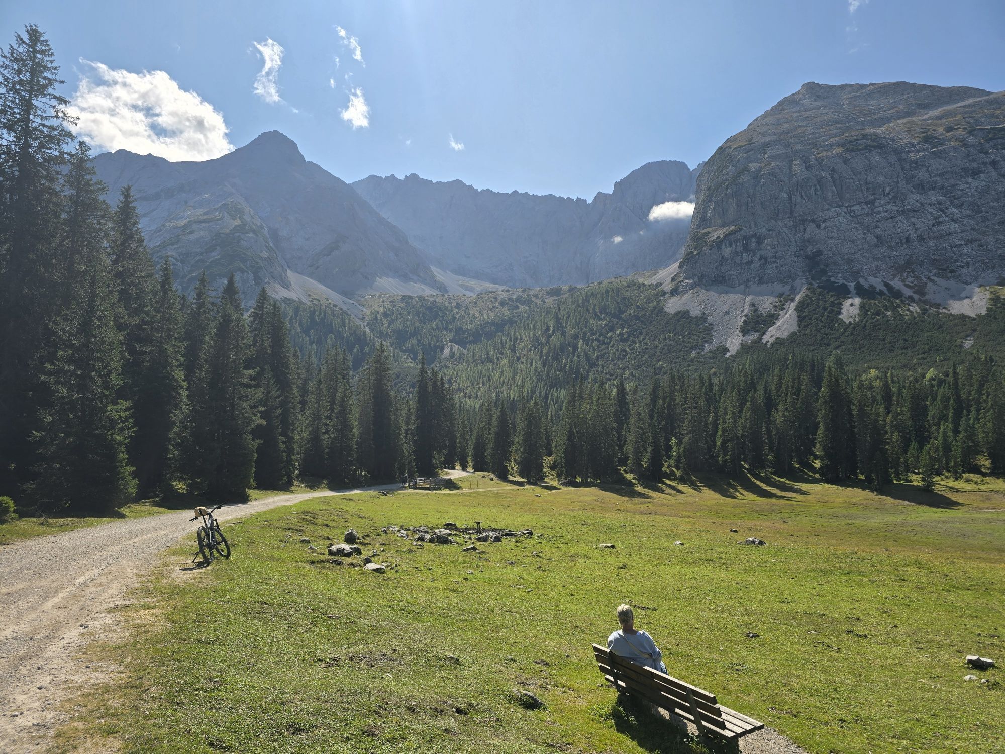
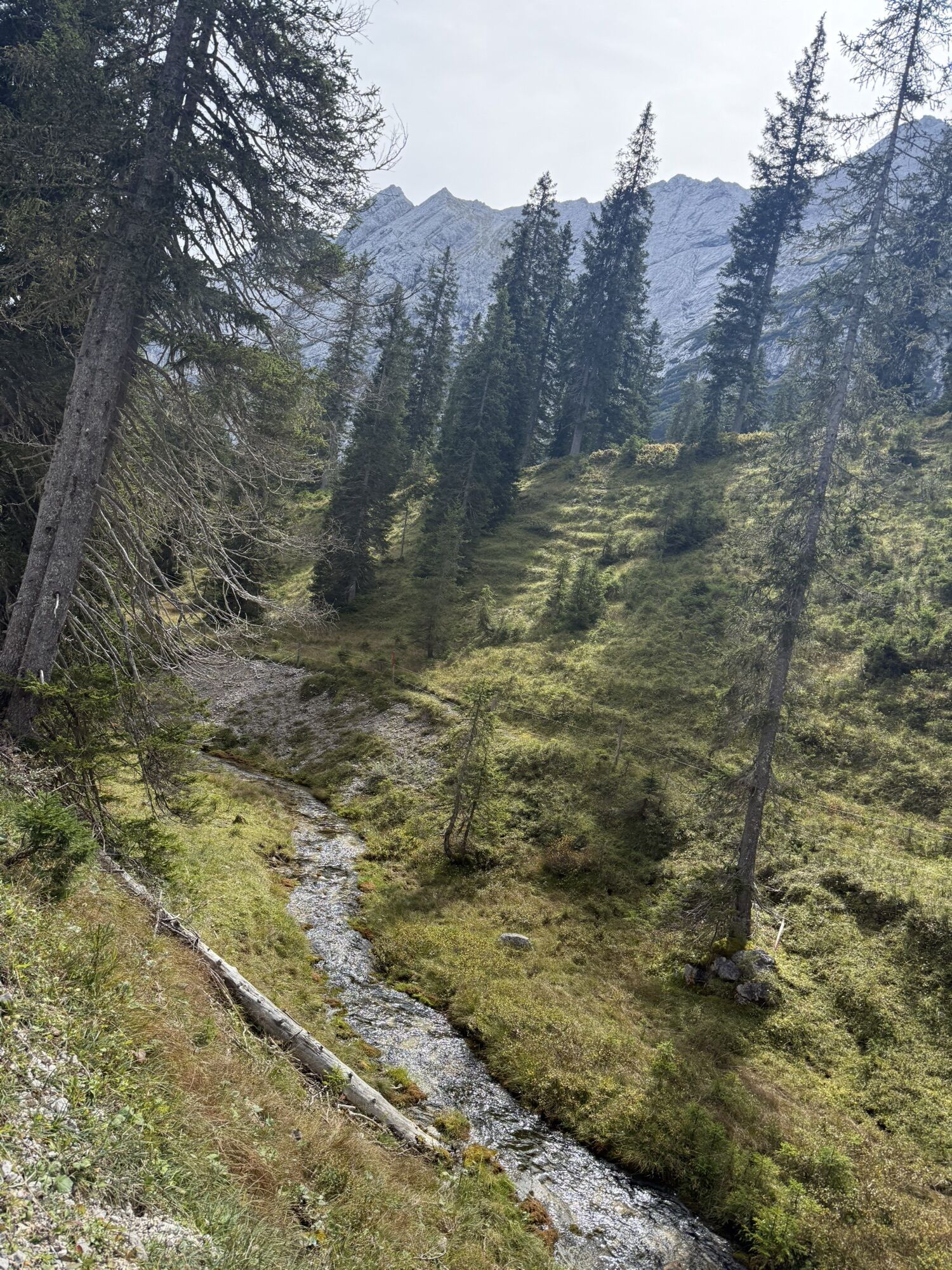
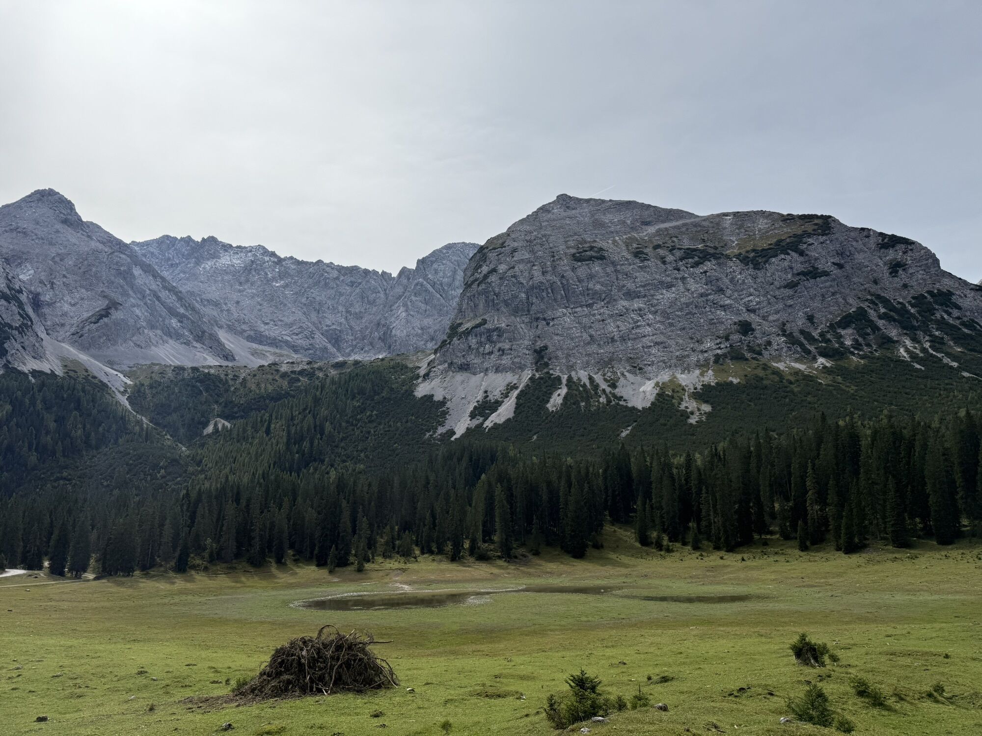
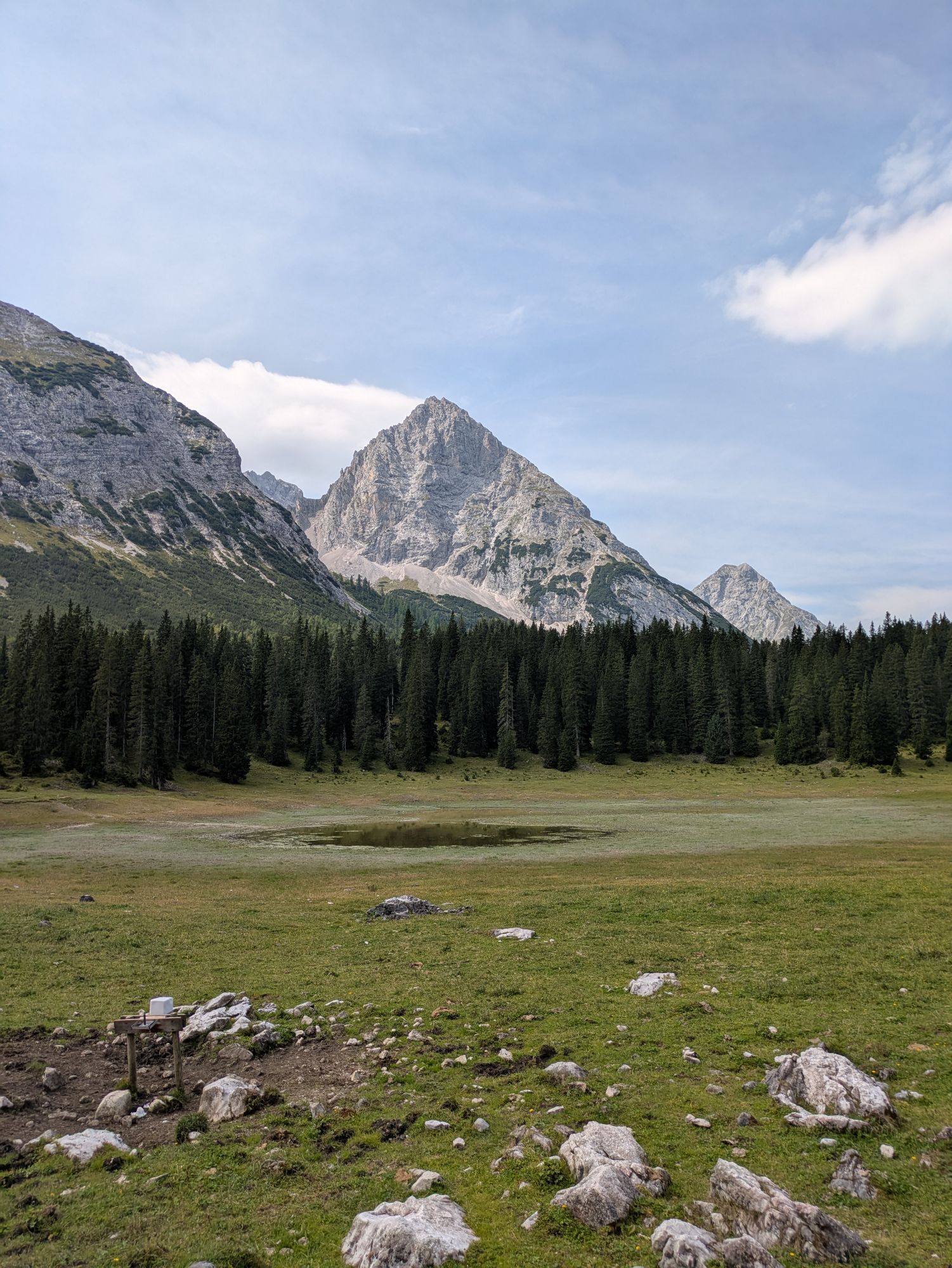
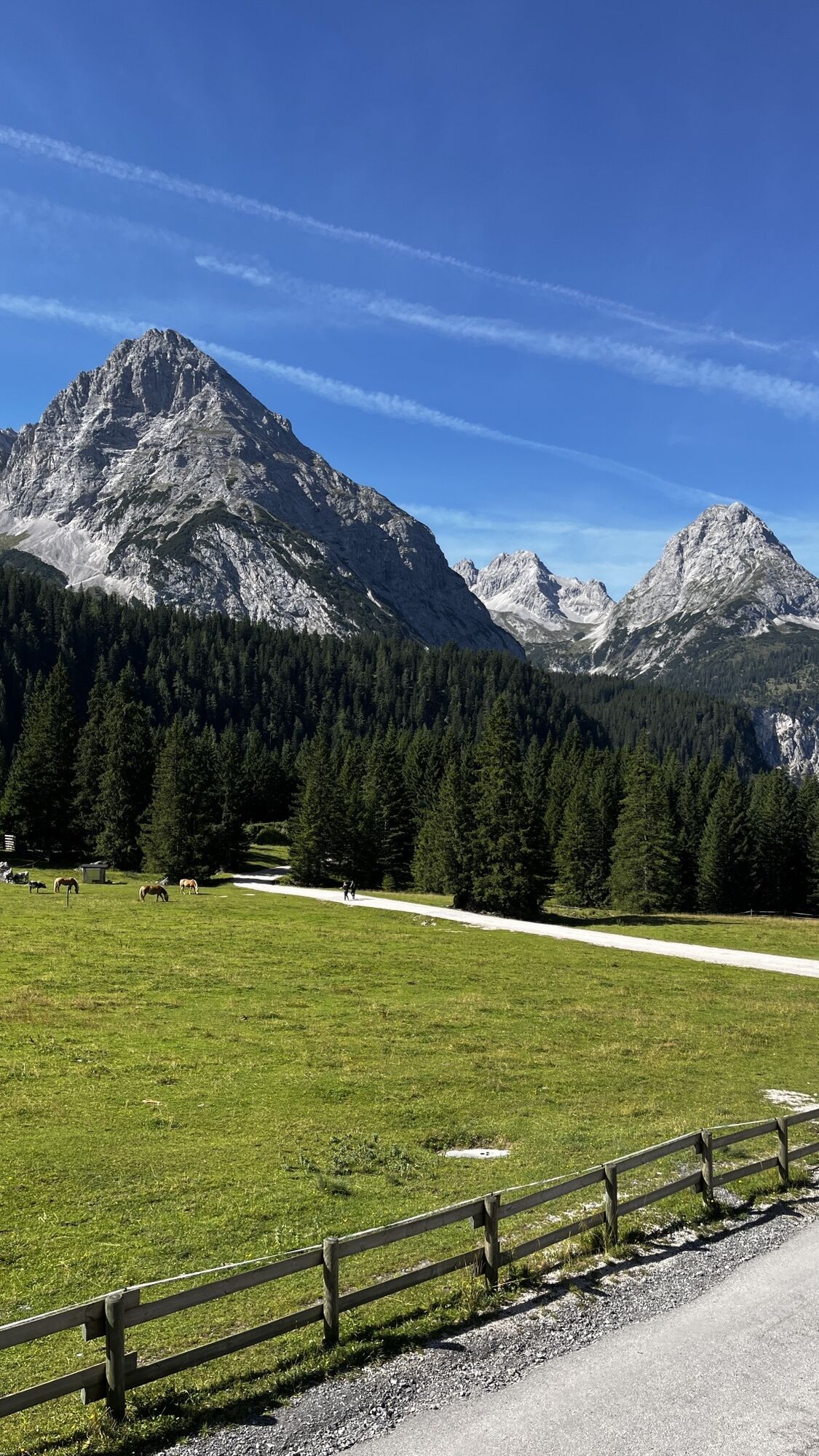
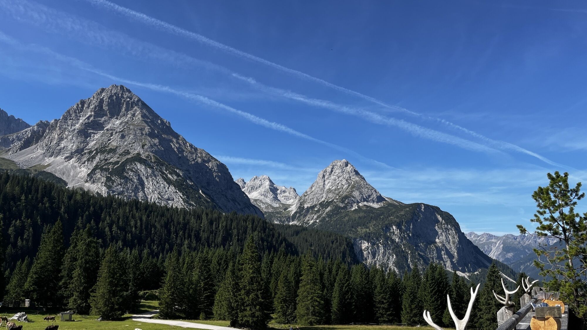
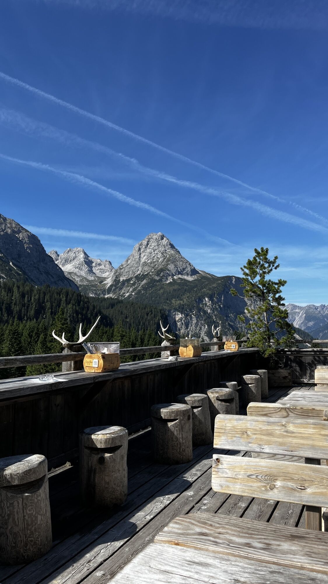
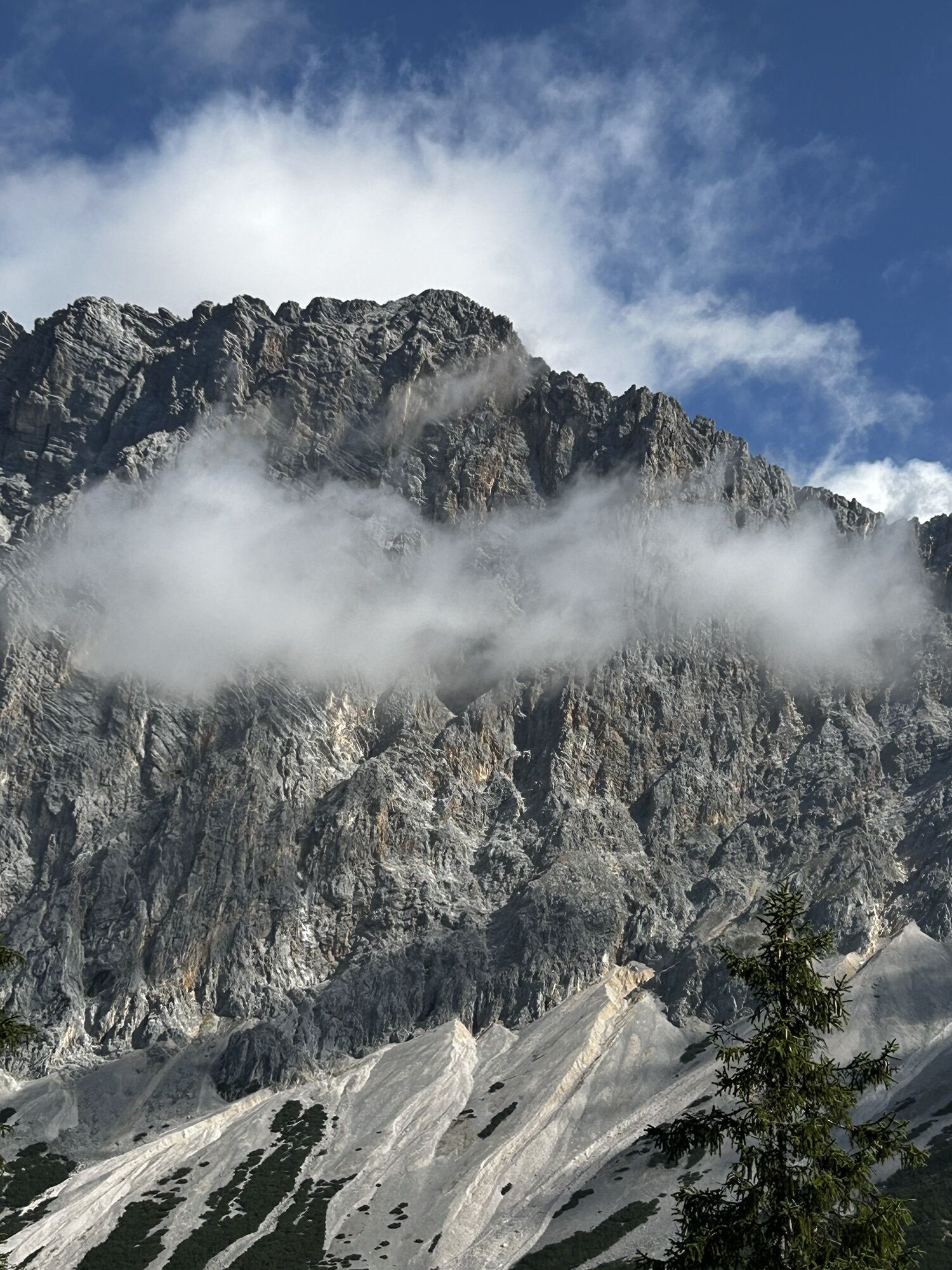
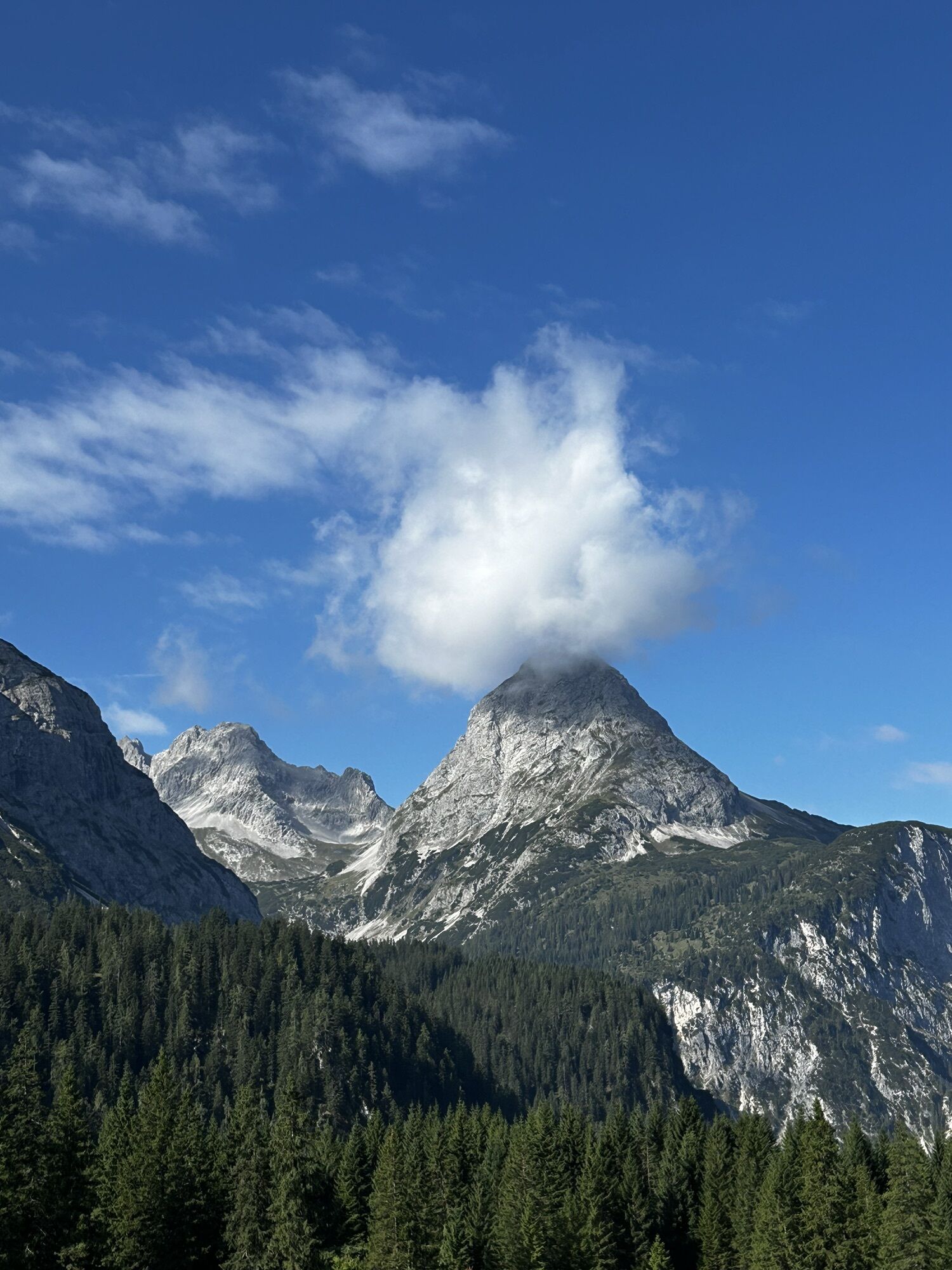
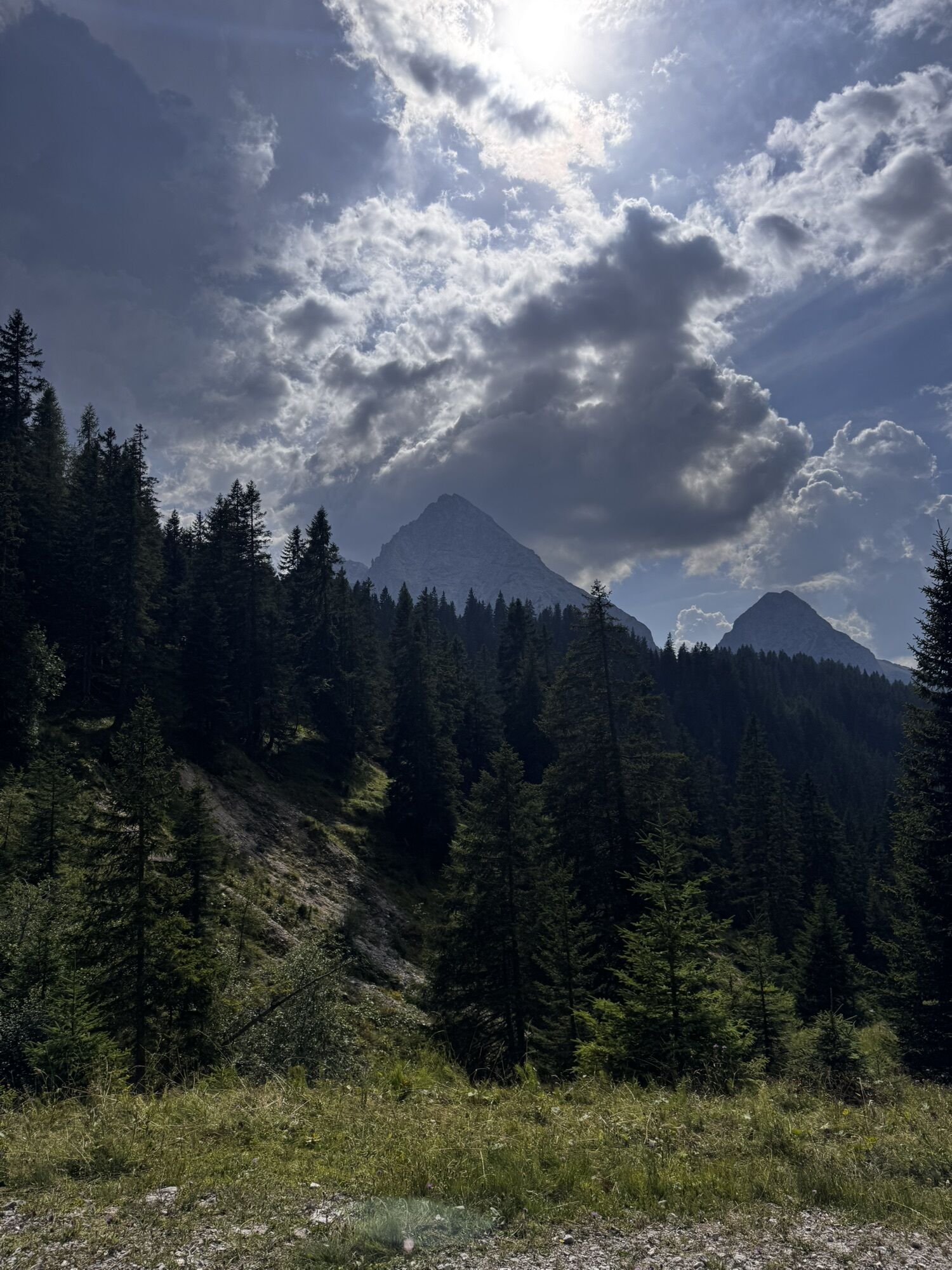
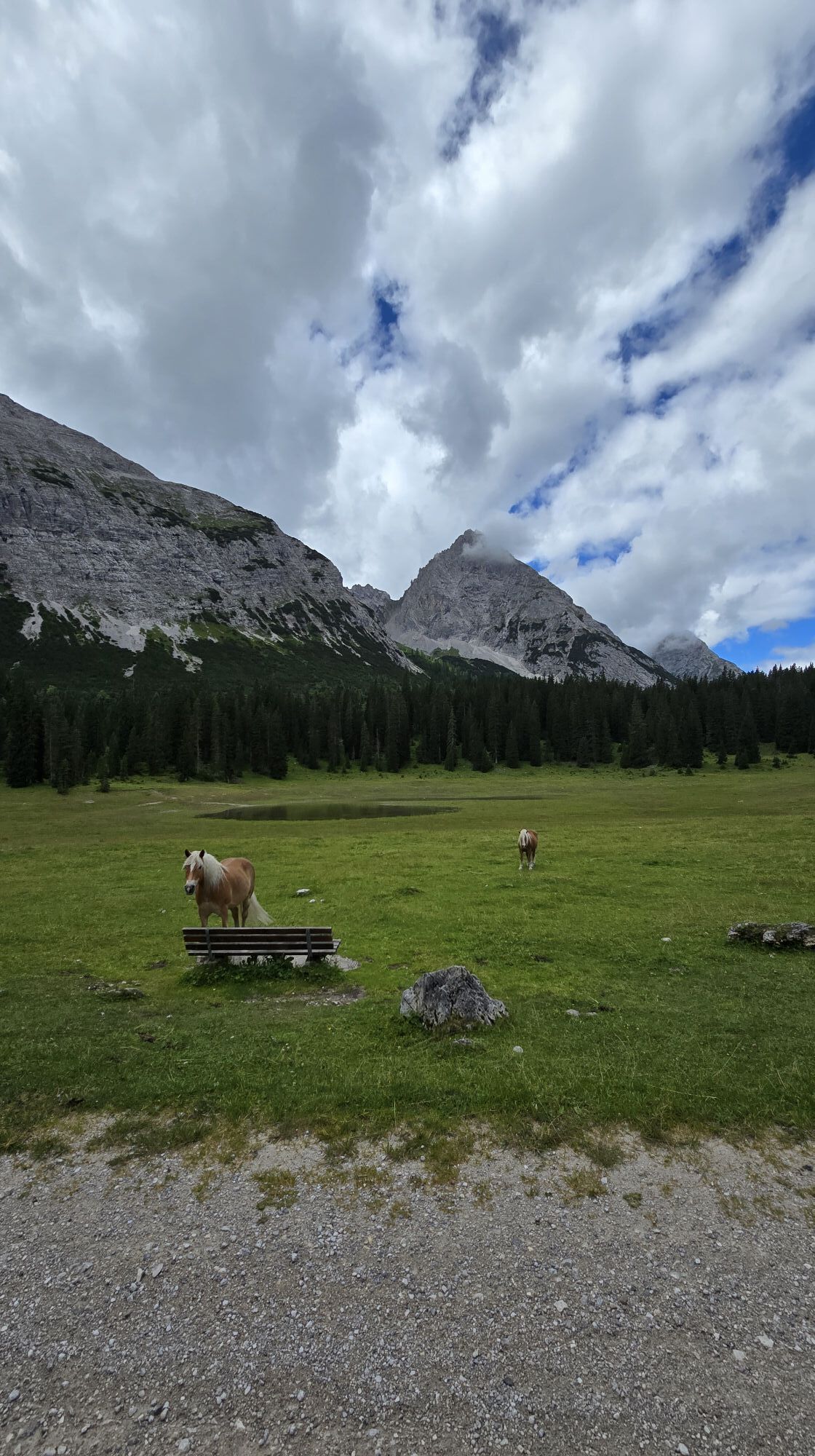
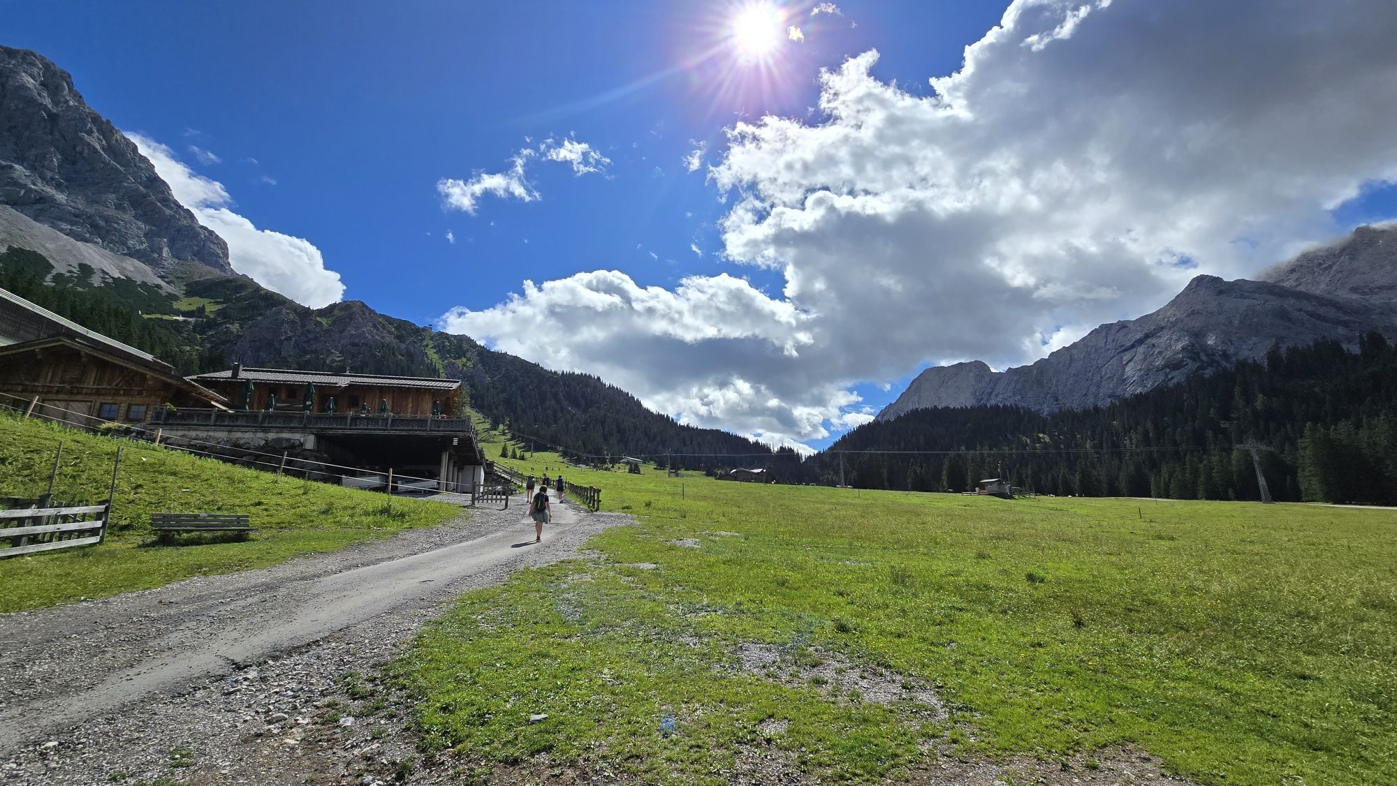
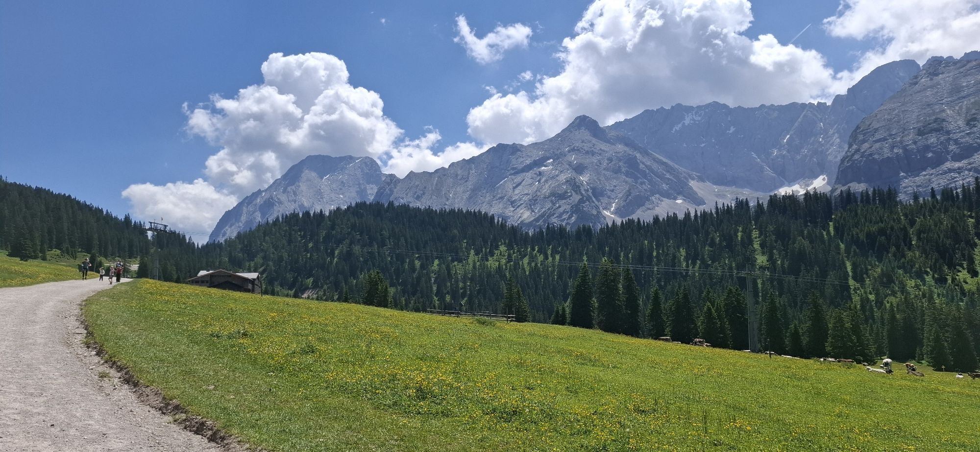
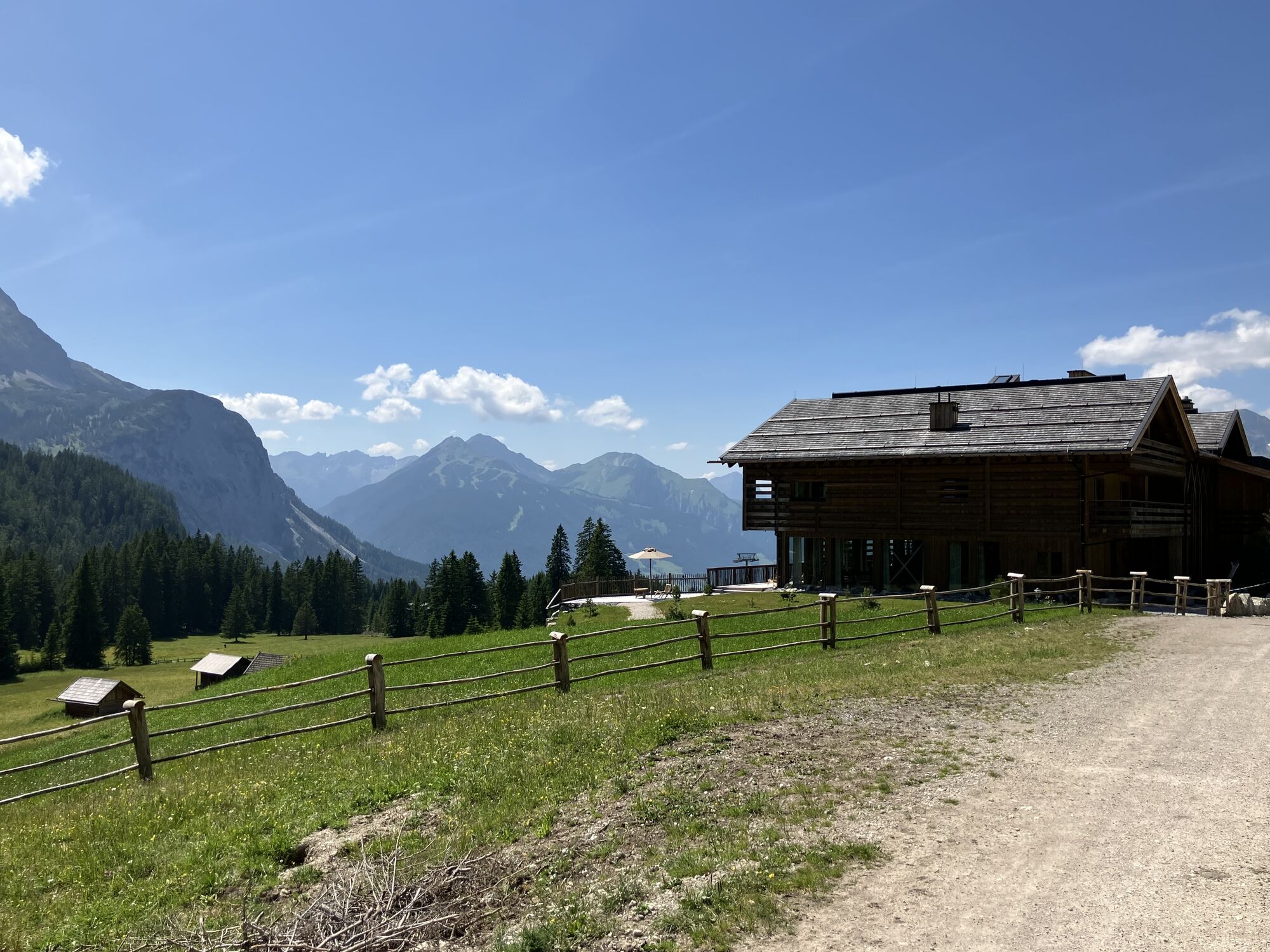
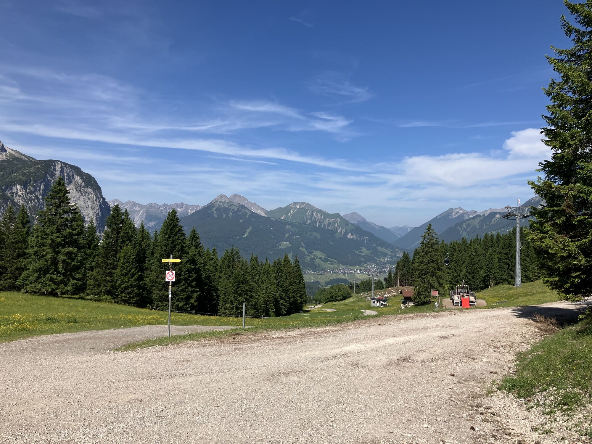
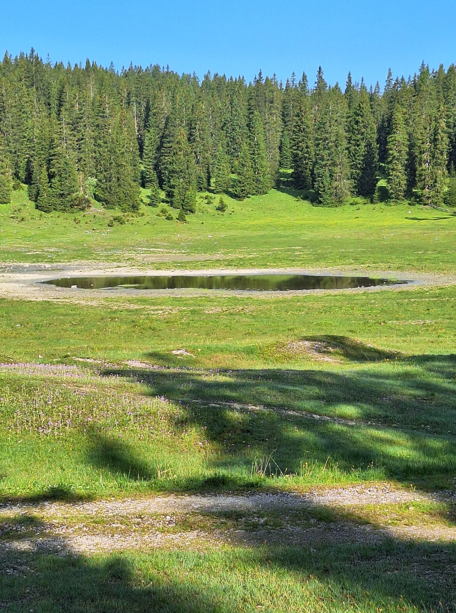
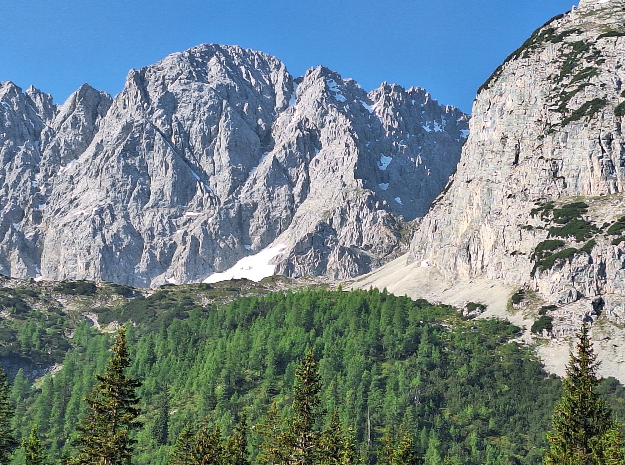
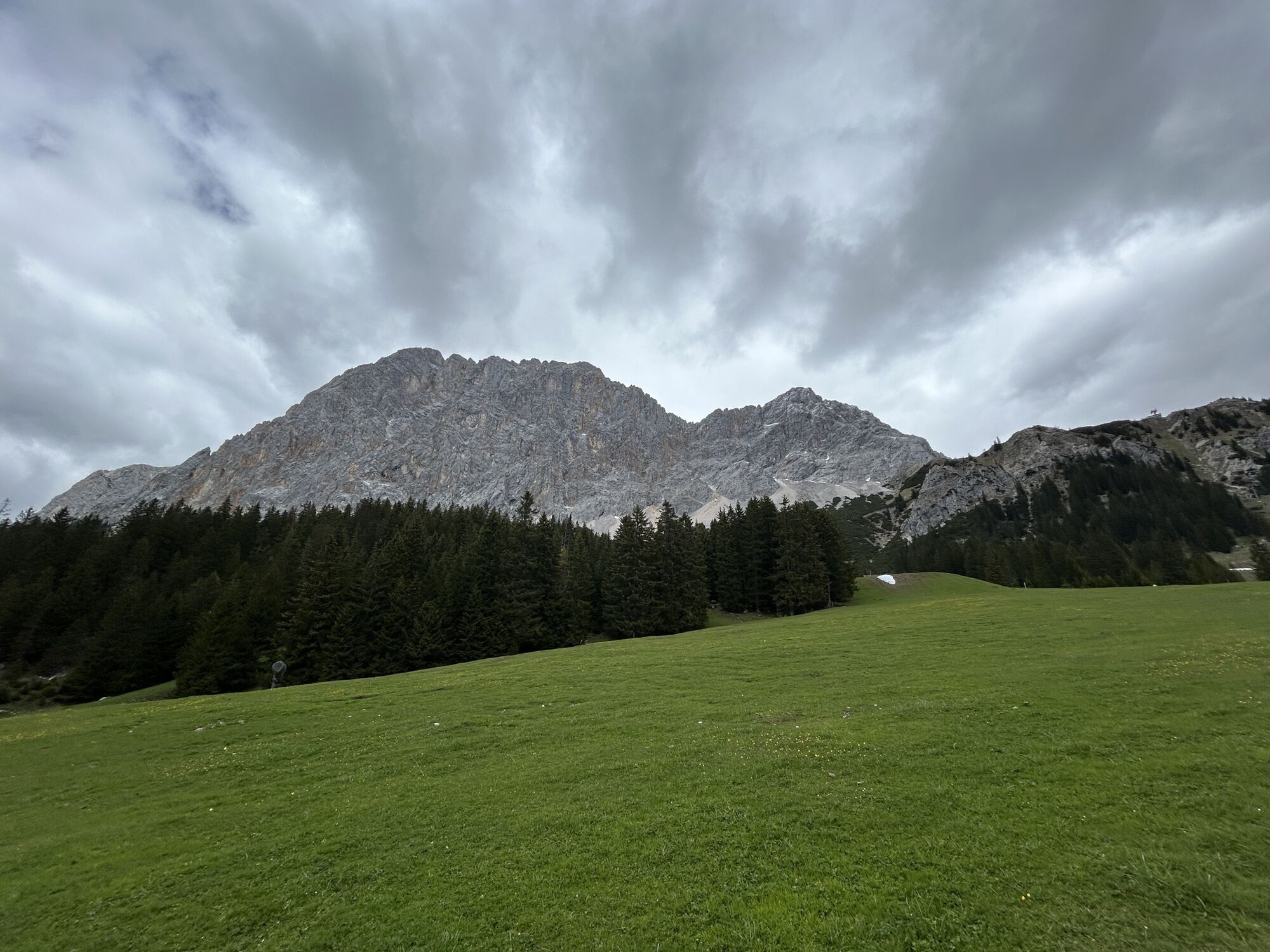
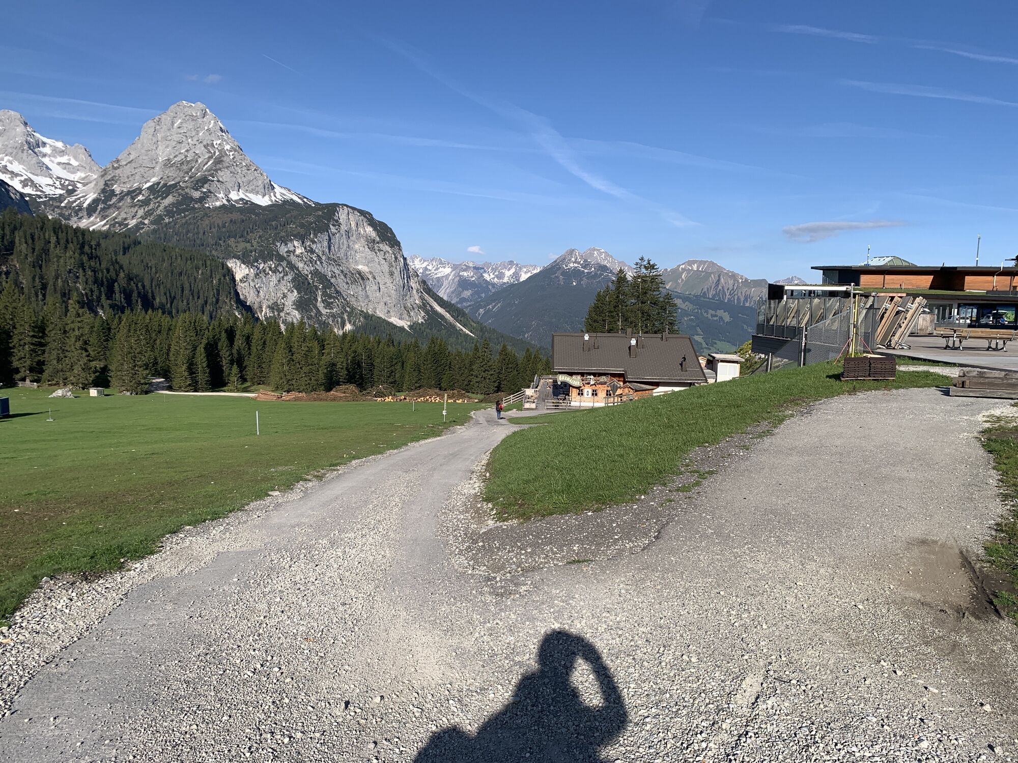
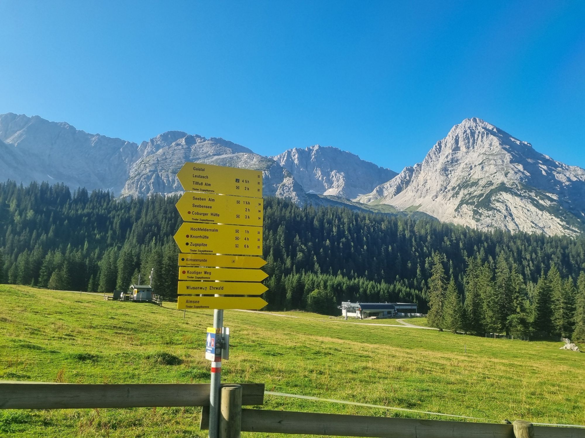
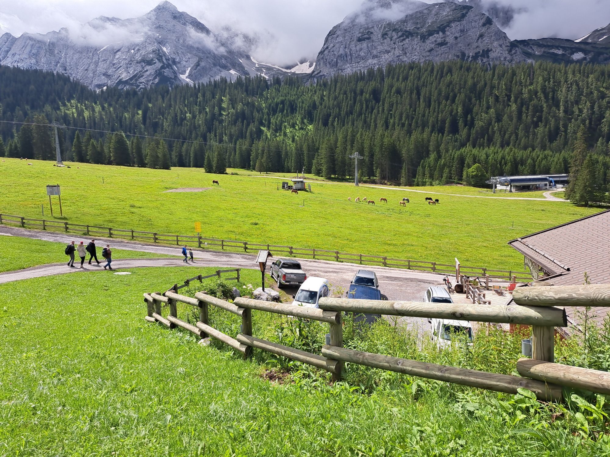
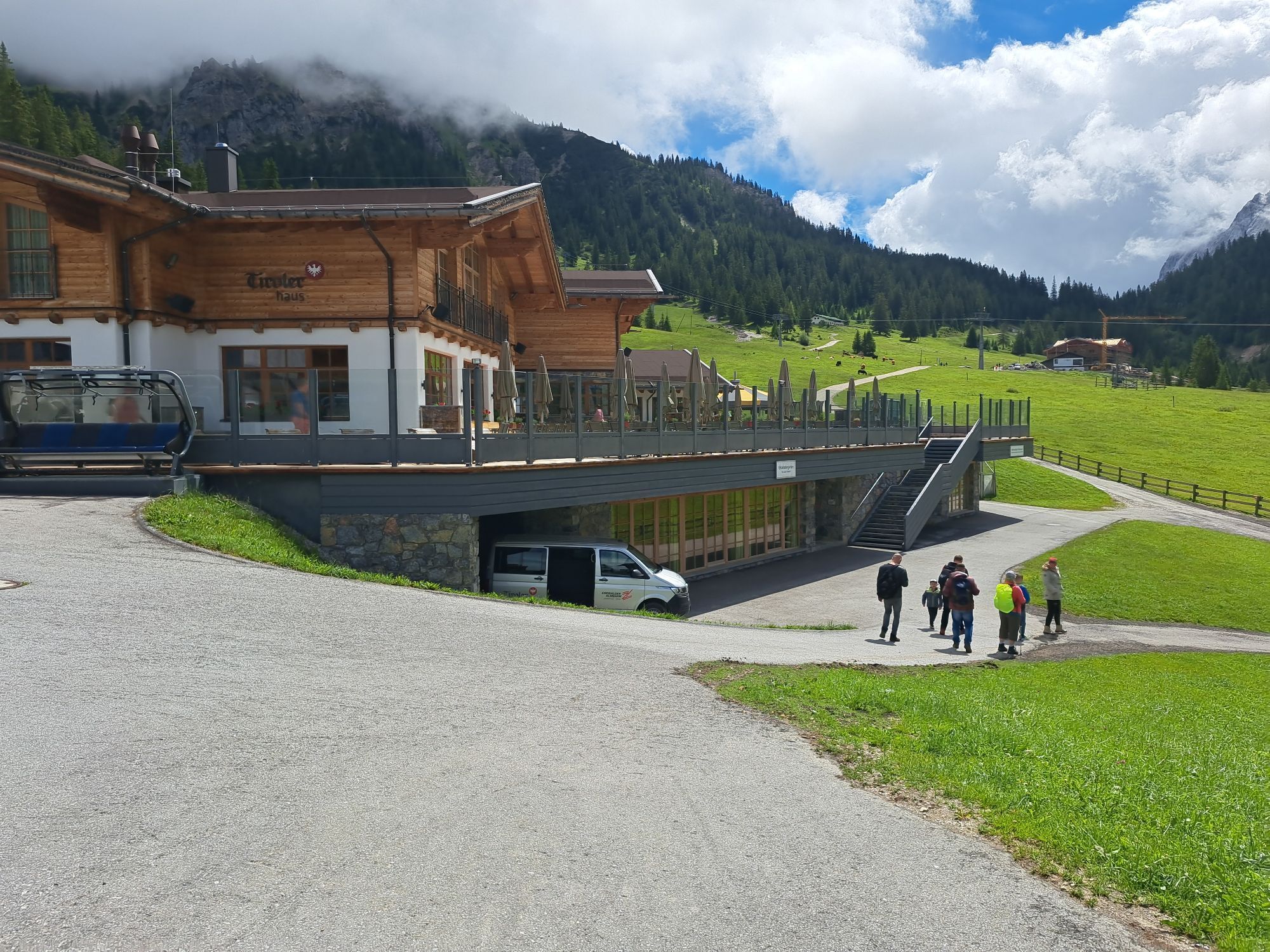
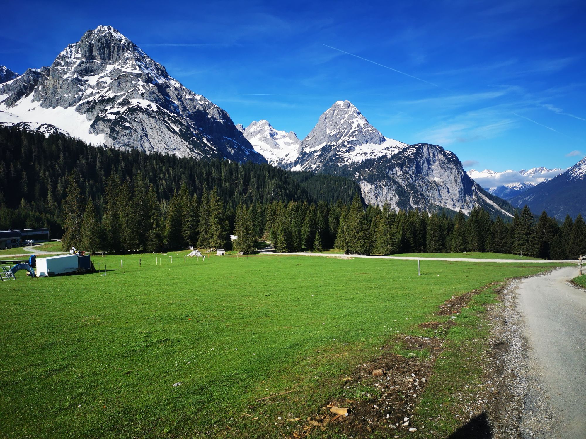
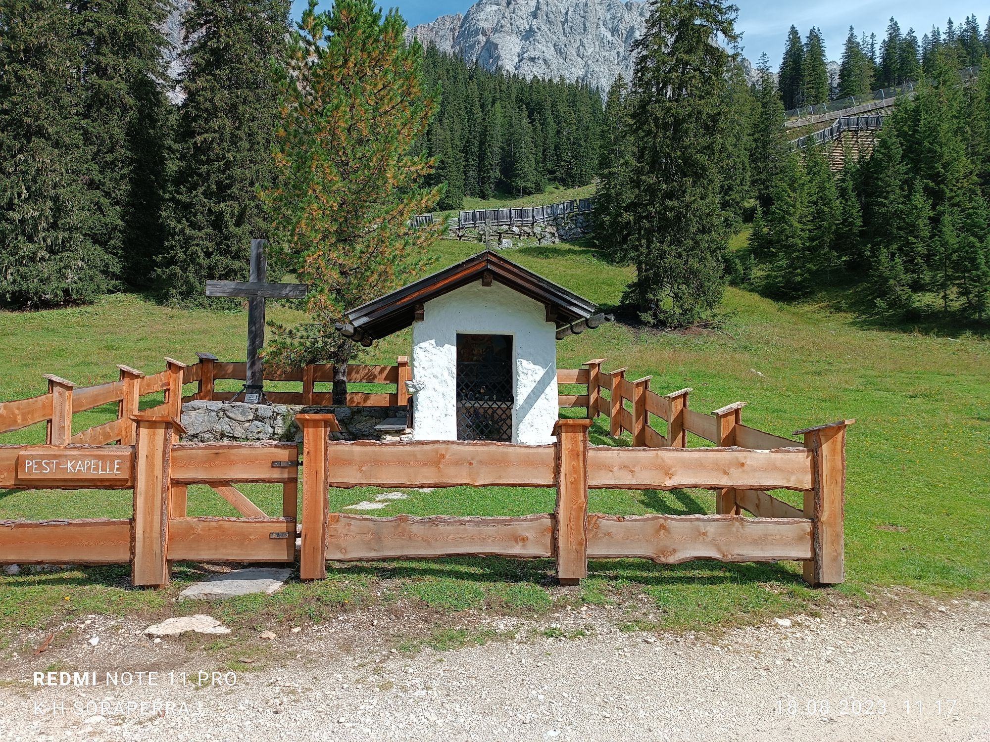
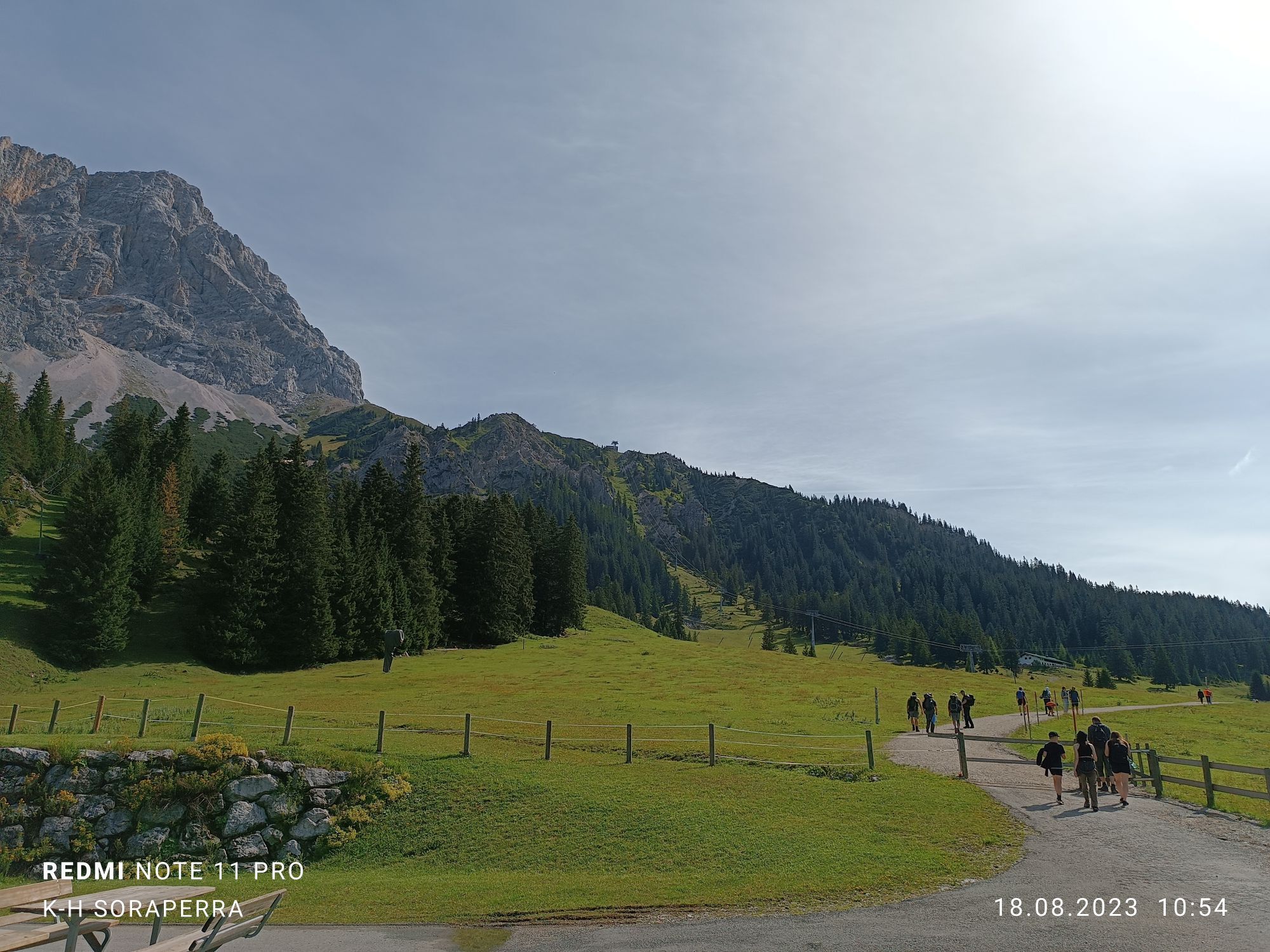
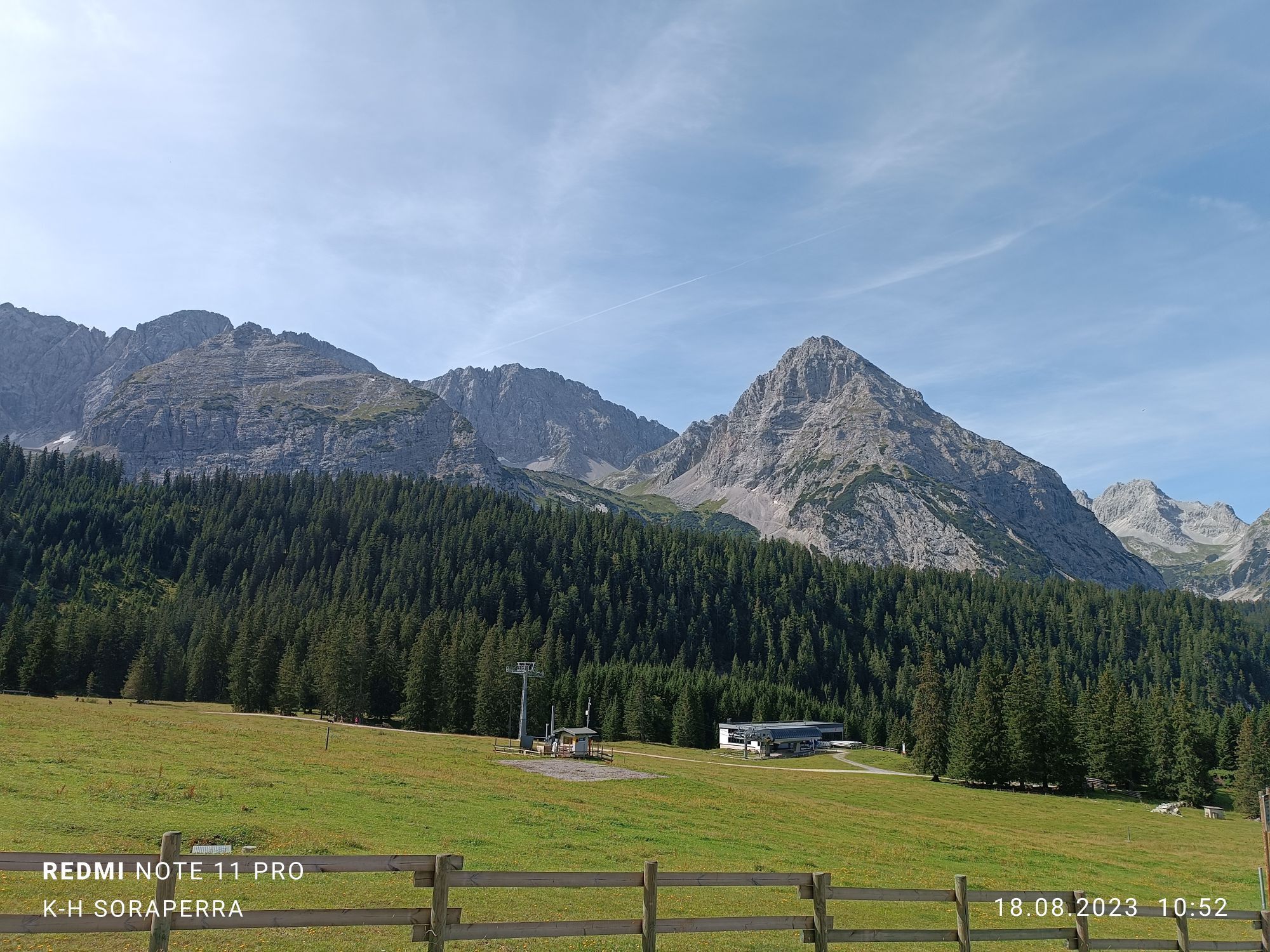
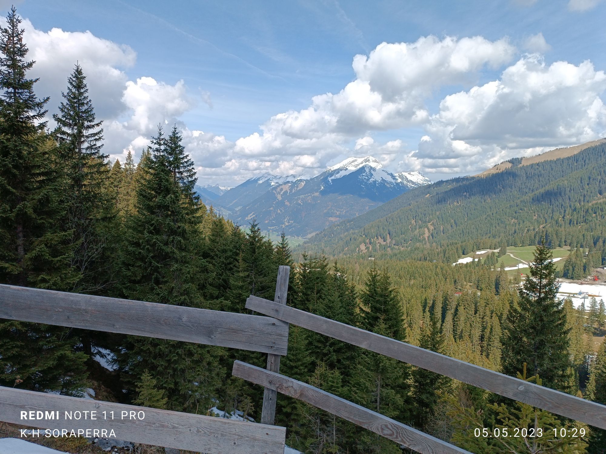
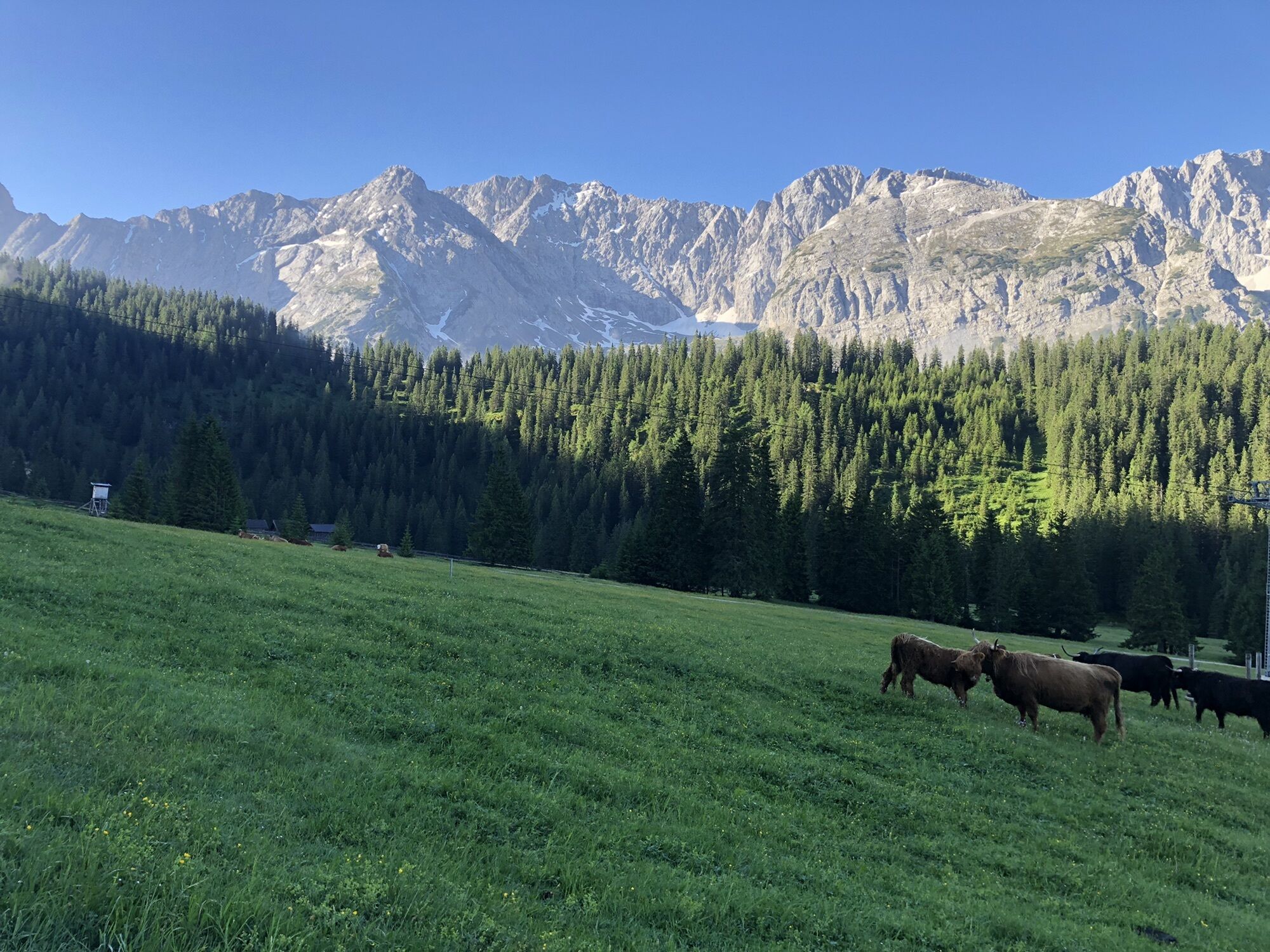
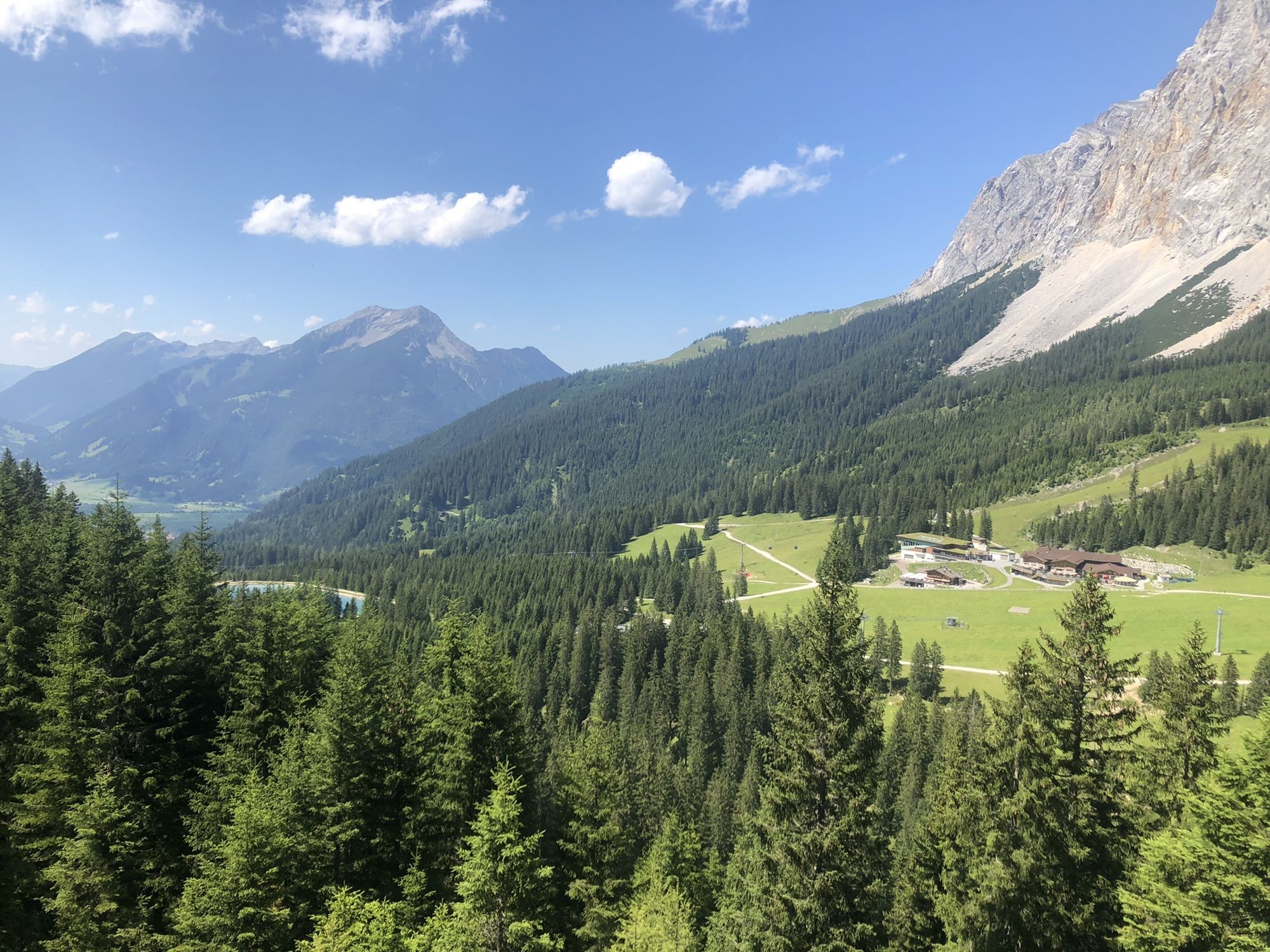
Ehrwalder Almbahn cable car mountain station, cross the slope in the direction of Kinderland, follow the signposts for the winter hiking path, Alpenglühn, Iglsee lake junction, turn left, Gaistallift cabe...
Ehrwalder Almbahn cable car mountain station, cross the slope in the direction of Kinderland, follow the signposts for the winter hiking path, Alpenglühn, Iglsee lake junction, turn left, Gaistallift cabe car valley Station.

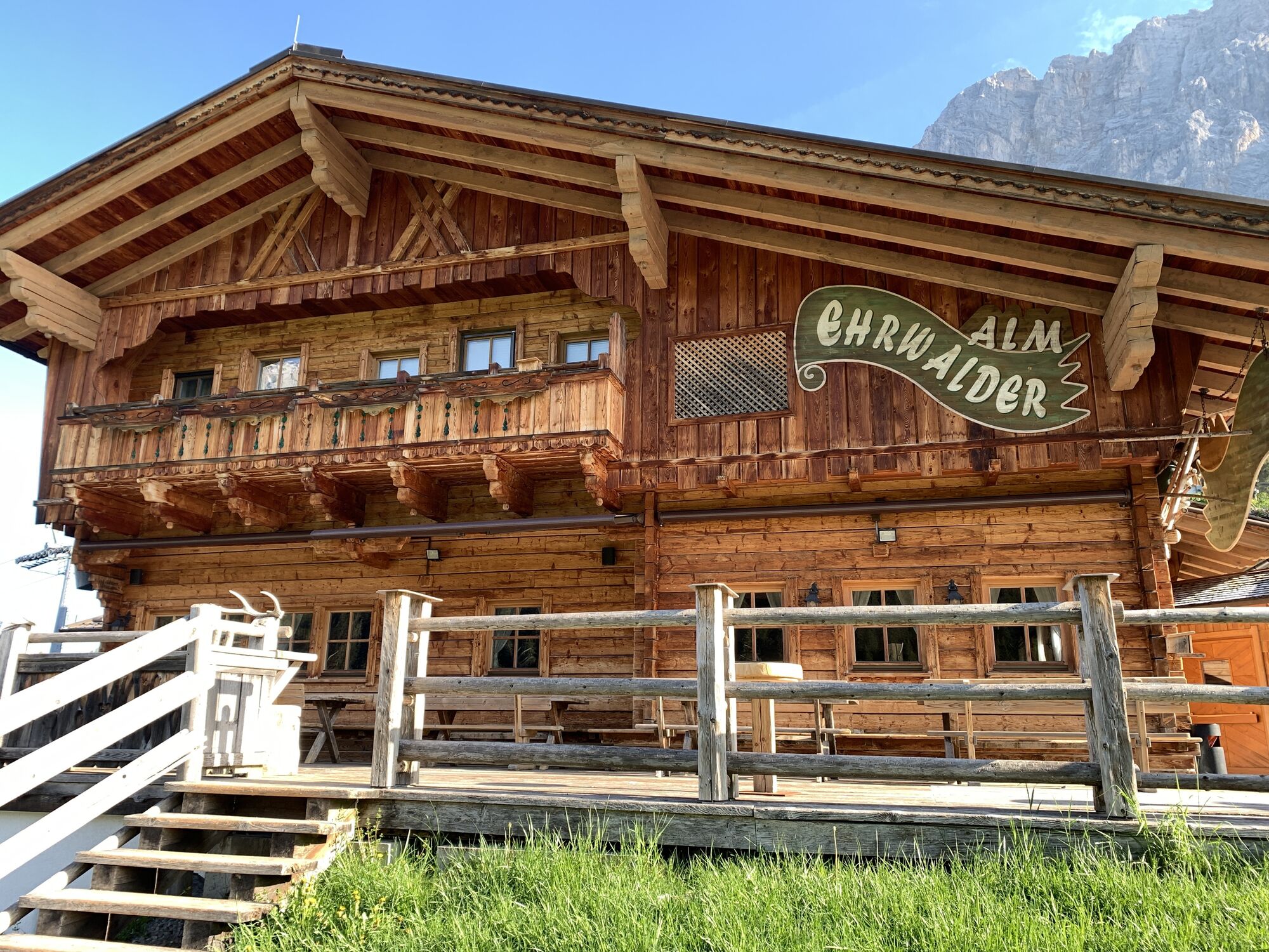
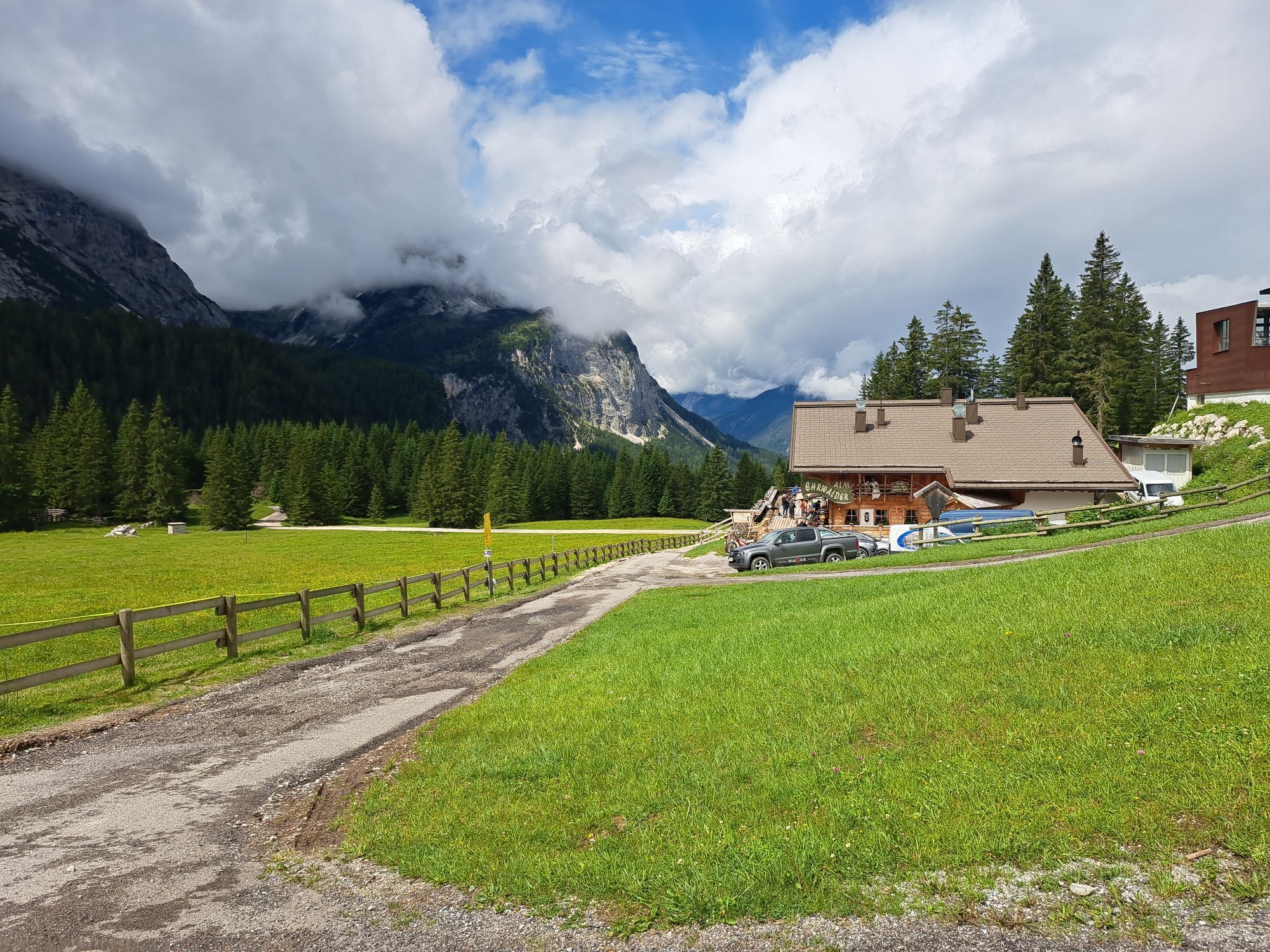
Ehrwalder Alm, Tirolerhaus, Alpenglühn-Sportalm
Beachten Sie die Öffnungszeiten
maps.zugspitzarena.com
Karte "Loipen und Winterwanderwege" im Tourismusbüro Berwang erhältlich.
Customize your equipment to your business.
Waterproof & sturdy footwear, possibly snowshoes, hiking poles and plenty of water.
● Do not leave prepared and marked winter hiking trails (winter alpine dangers)
● Note avalanche warning
● Alpine emergency call: 140
● Be aware of the mountain hut opening hours
Ski bus of the Tiroler Zugspitz Arena (free with guest card), Postbus (free with guest card in the region)
Sí
Sí
3/6
3/6

Webcams del recorrido
-
Ehrwalder Alm
-
Bergstation Gaistal
-
Coburger Hütte
-
Ehrwald Wettersteinbahnen
-
Wettersteinbahnen
-
Wettersteinbahnen - Gamsalm Ehrwald
-
Garmisch-Partenkirchen - Zugspitze
-
Ehrwald Gaistal
-
Ehrwald - Almbahn
-
Tirolerhaus Ehrwald
-
Issental Tal
-
Seilbahn Zugspitze
-
Zugspitze Gipfel
-
Zugspitze Süd
-
Zugspitze Nord
-
Zugspitze Ost
-
Sonnalpin
-
Ehrwalder Wettersteinbahnen - Sonnenhangbahn Bergstation
-
Zugspitze Nord
-
Wetterwarte Zugspitze
-
Zugspitze Ehrwald
-
Ehrwalder Alm
Infórmate
Siempre en directo con más de 9.500 webcams. bergfex Como usuario Pro, ahora puede ver las webcams correspondientes a muchos tours en la app de tours desde. Esto le permite ver las condiciones actuales directamente.
Rutas populares en los alrededores
-
4,2
Höllentalklamm
medioSenderismo 5,53 km -
5,0
Zugspitze via Höllental
pesadoVía ferrata 16,1 km -
4,9
Sebensee/ Coburger Hütte
medioSenderismo 18,7 km -
4,8
Zugspitze
pesadoSenderismo 8,45 km -
4,8
Höllentaler Rundtour
medioSenderismo 12,4 km -
4,8
Zugspitze via Reintal
pesadoSenderismo de montaña 21,6 km -
4,7
Ehrwald - Hoher Gang - Seebensee - Drachensee - Coburger Hütte
pesadoSenderismo de montaña 14,6 km -
4,8
BIEBERWIER | Blindsee
luzSenderismo 4,84 km -
4,7
Alpspitze-Rundtour
medioVía ferrata 4,10 km -
4,7
Ehrwald / Drachensee / Coburger Hütte / Seebensee
medioSenderismo 14,8 km
Senderismo y rastreo


No se pierda las ofertas y la inspiración para sus próximas vacaciones
Su dirección de correo electrónico se ha añadido a la lista de correo.





