


03 - Bike Challenge Aschinger Alm
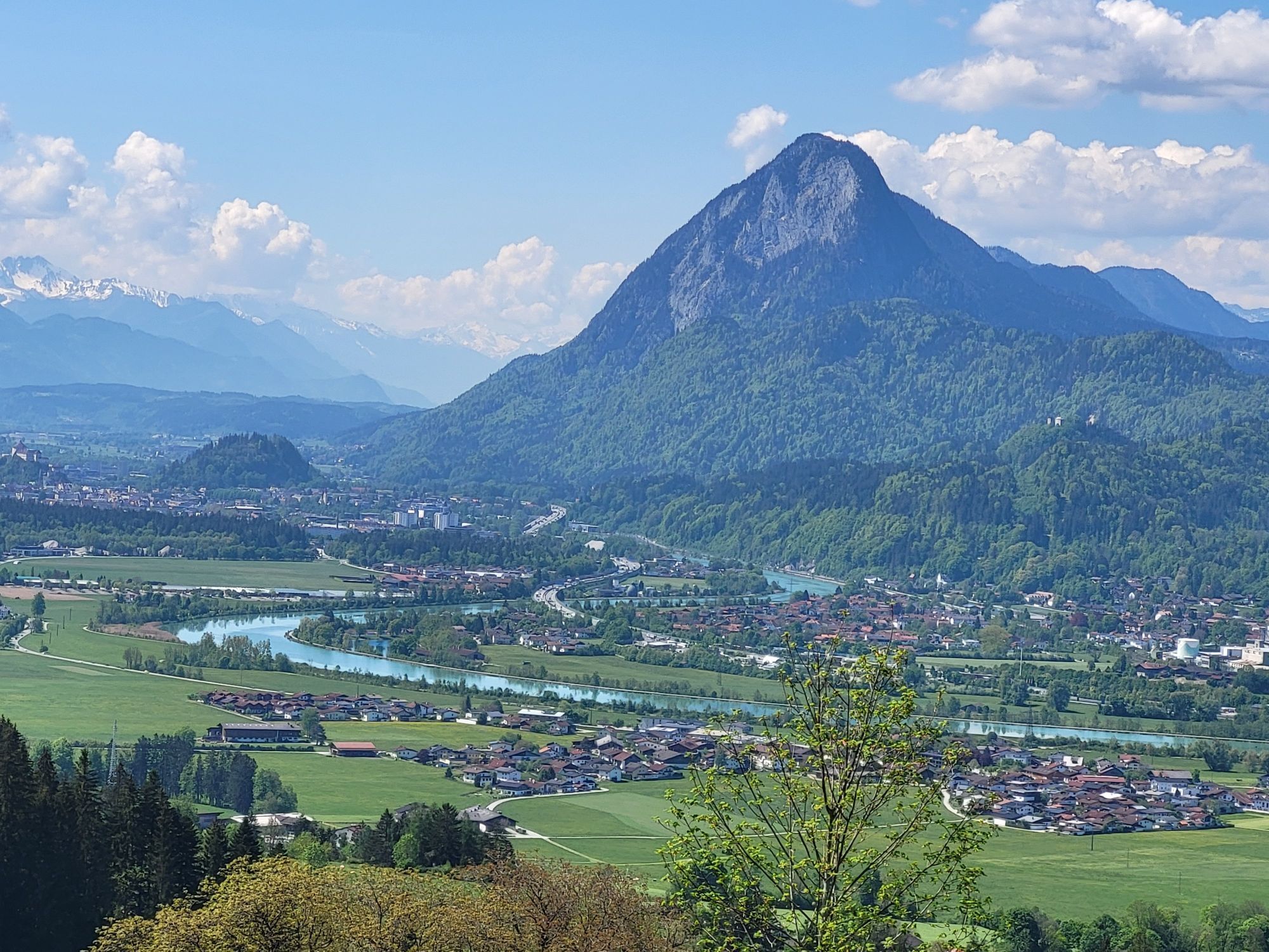
The course starts in the centre of Ebbs, next to the town hall and leads over alpine meadows and toothy gradients with up to 16% up to the Aschinger Alm. You can measure your time yourself using an app...
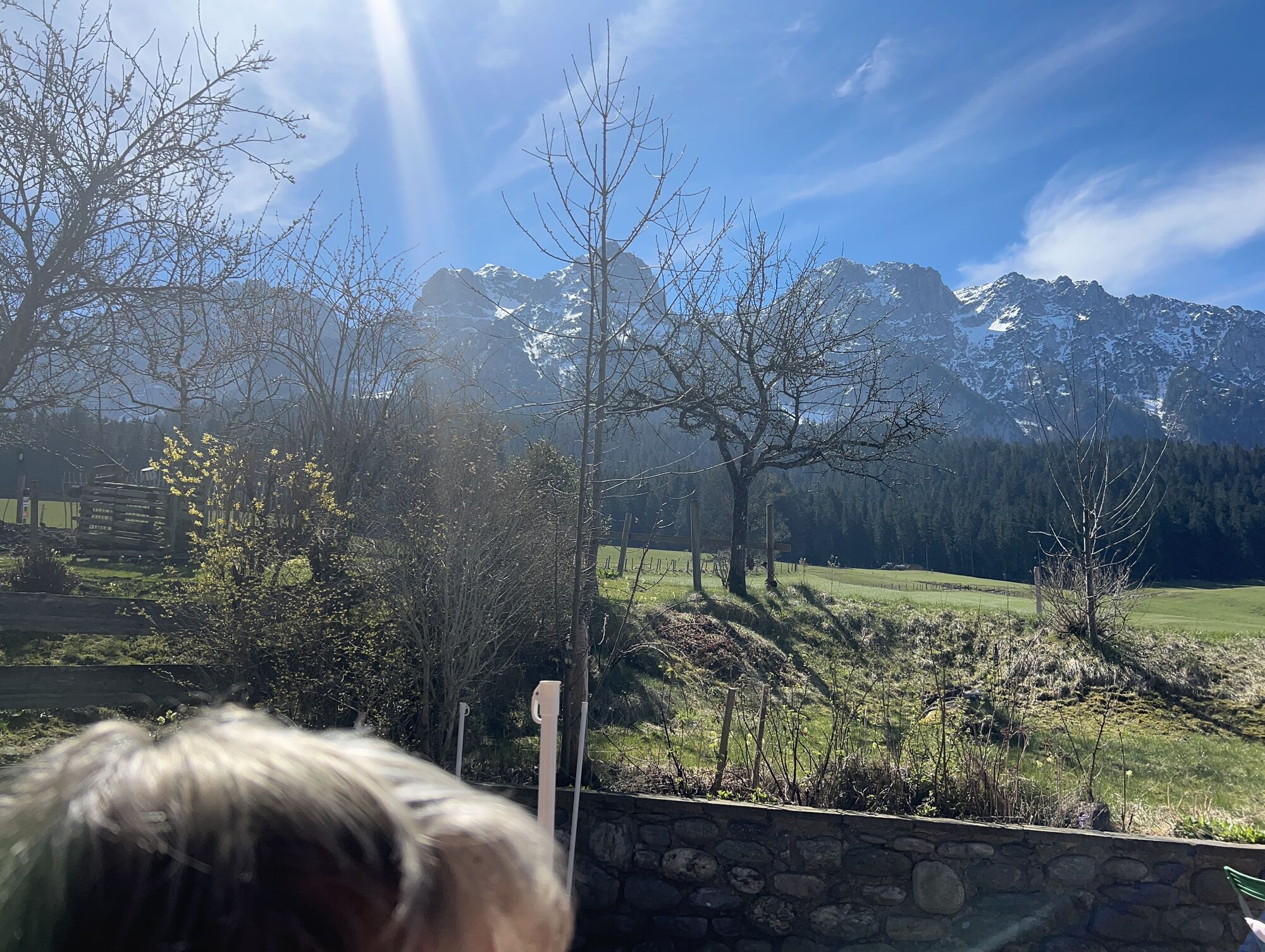
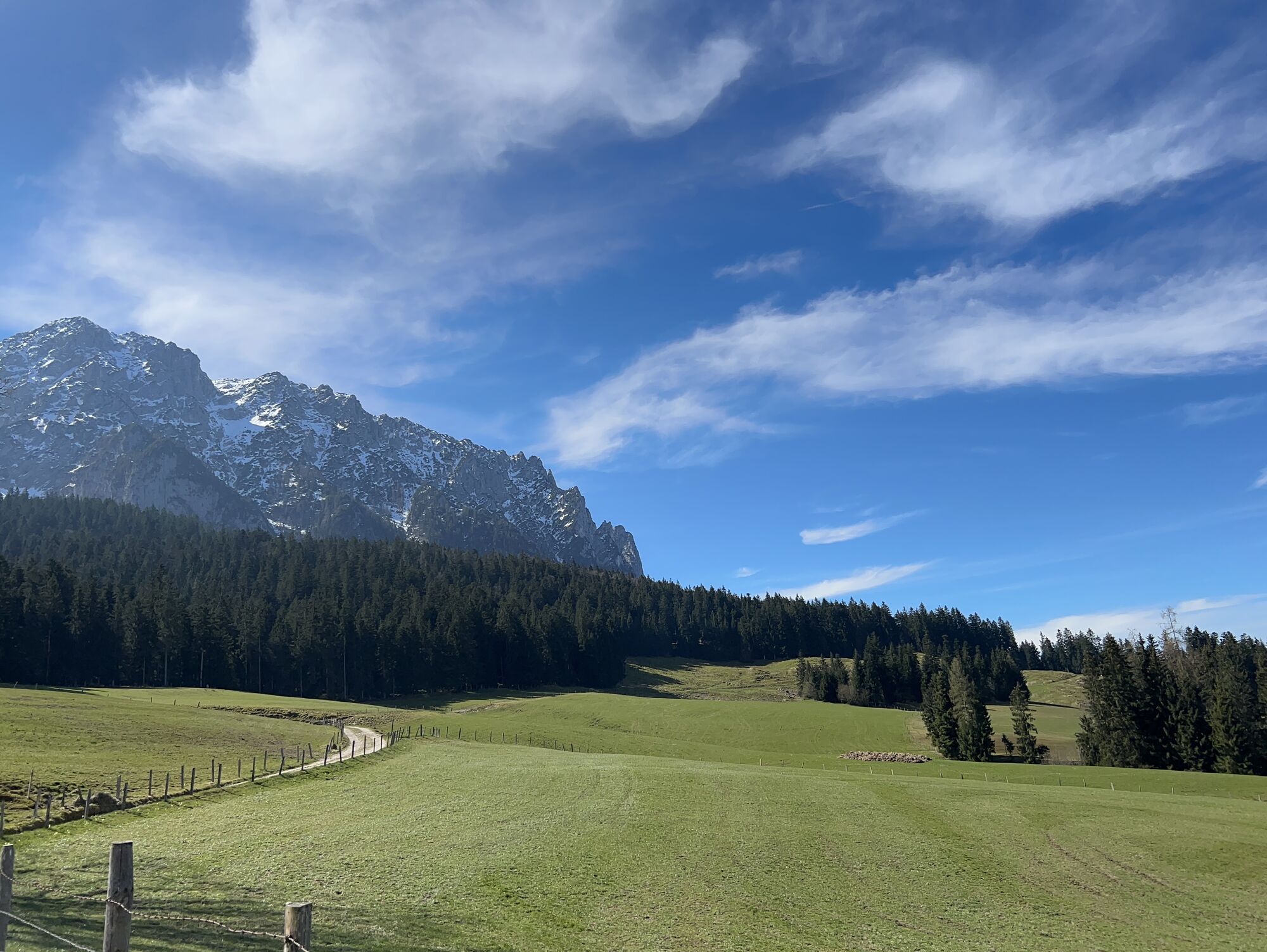
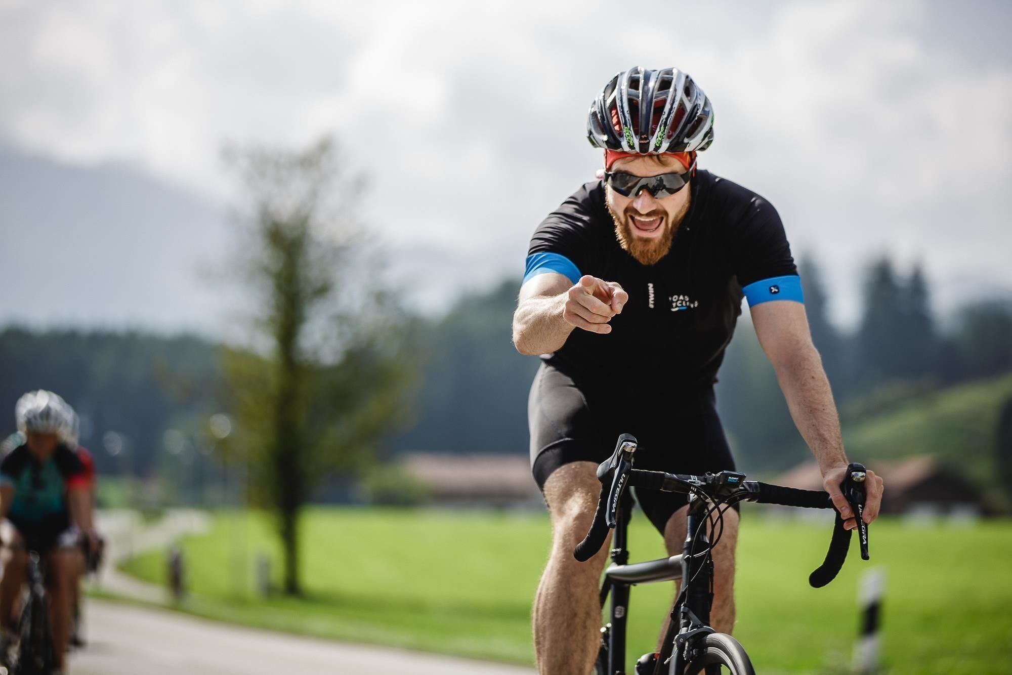
The course starts in the centre of Ebbs, next to the town hall and leads over alpine meadows and toothy gradients with up to 16% up to the Aschinger Alm. You can measure your time yourself using an app and then compare your times online. The measure of all things is the Kufsteiner Max Kuen who presented a crisp time with 20:08 min.
How does it work?
Download the app "Bikechallenge Tirol" from the Playstore or Apple Store and register. As soon as you are at or near the start, the GPS will recognize if you are in the starting area. If you are standing correctly, you can start the race by clicking on the start button of the app. As soon as you have pressed Go, the race will start.
Now it's kick, kick, kick!
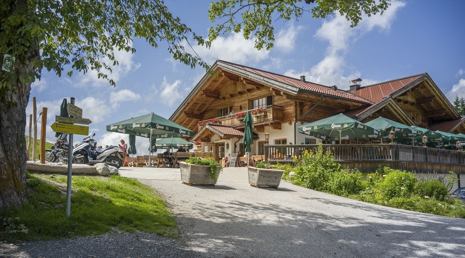
In the finish area you can stop the time by clicking on the button "End Challenge". Afterwards you can enjoy a hearty snack and non-alcoholic wheat beer on the Aschinger Alm.
You will find all results listed on the Bikechallenge Tirol website.
Have fun pedalling!
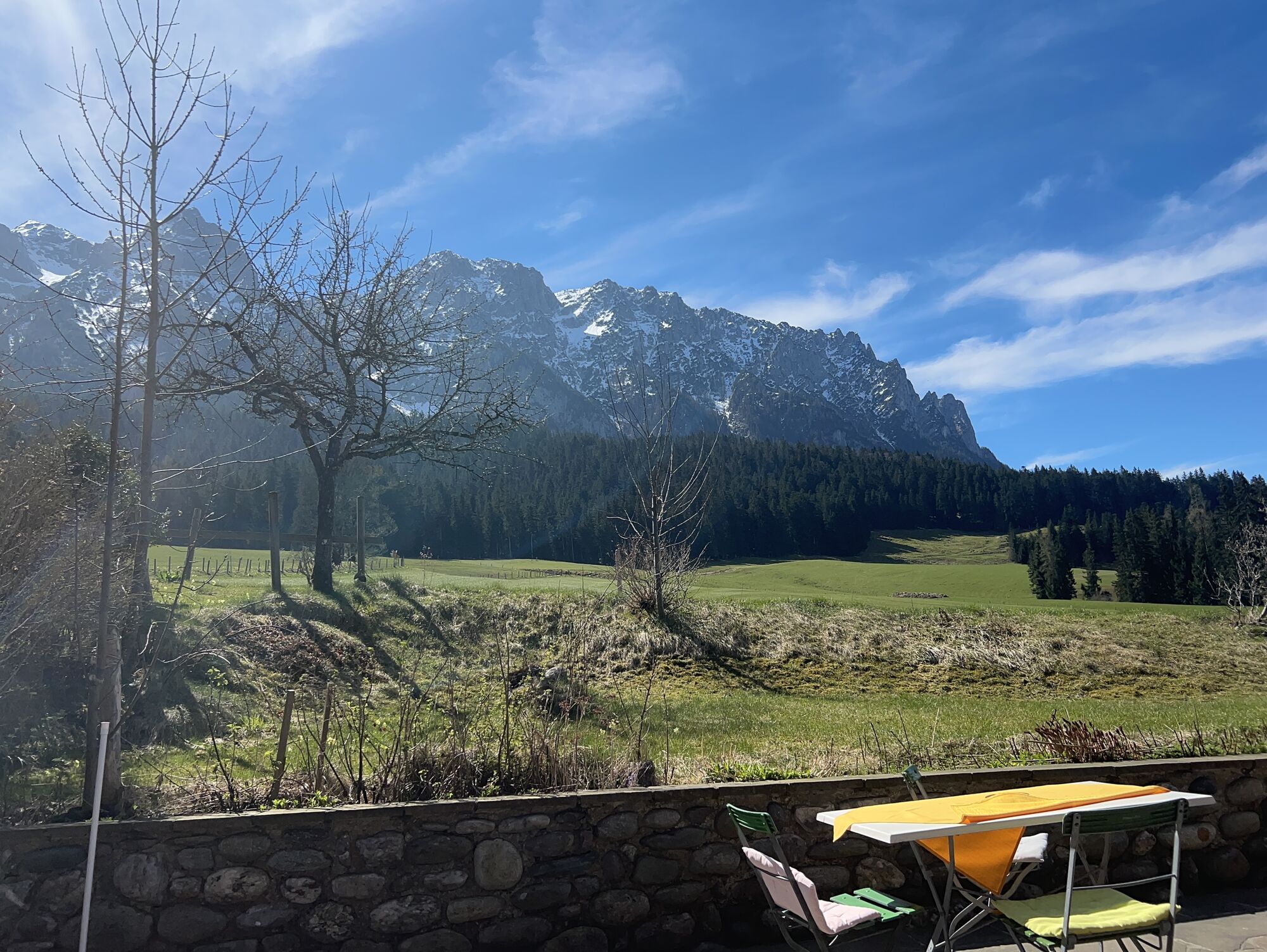
Cycling helmet, comfortable cycling clothing, change of clothes, wind protection, cycling gloves, possibly rucksack with water bottle and food, first aid equipment, possibly service/repair kit, cycling map, tour description and information material (GPX track), ID card, insurance card, cash
From direction Munich: From the Inntal motorway A12, take the exit Niederndorf/Oberaudorf and follow the signs towards Ebbs.
Take the Regiobus line 4030 to the Ebbs school centre.
Churchyard Ebbs
Rutas populares en los alrededores
-
4,5
Über Hintersteinersee und Walleralm aufs Hochegg
luzSenderismo 12,2 km -
4,4
Der Schmugglerweg von Kössen zum Klobenstein
luzSendero temático 7,23 km -
3,9
Feichteck und Hochries
medioSenderismo 11,5 km -
4,7
Musikantensteig zur Naunspitze
medioSenderismo 8,96 km -
4,5
Wanderung um den Hintersteinersee
luzSenderismo 5,29 km -
3,3
Kaisertal Rund-Wanderung
medioSenderismo 13,9 km -
4,6
Geigelstein
medioSenderismo 14,5 km -
4,7
Hintersteinersee
medioSenderismo 9,87 km -
4,9
Ellmauer Tor (22.07.2020)
medioSenderismo 9,32 km -
4,4
Heuberg und Kitzstein
medioSenderismo 8,51 km
Senderismo y rastreo


No se pierda las ofertas y la inspiración para sus próximas vacaciones
Su dirección de correo electrónico se ha añadido a la lista de correo.