



Kleinwalsertal tour

Nivel de dificultad: 4
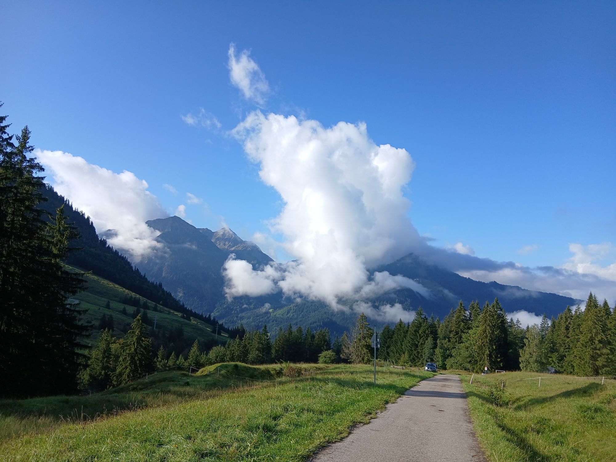

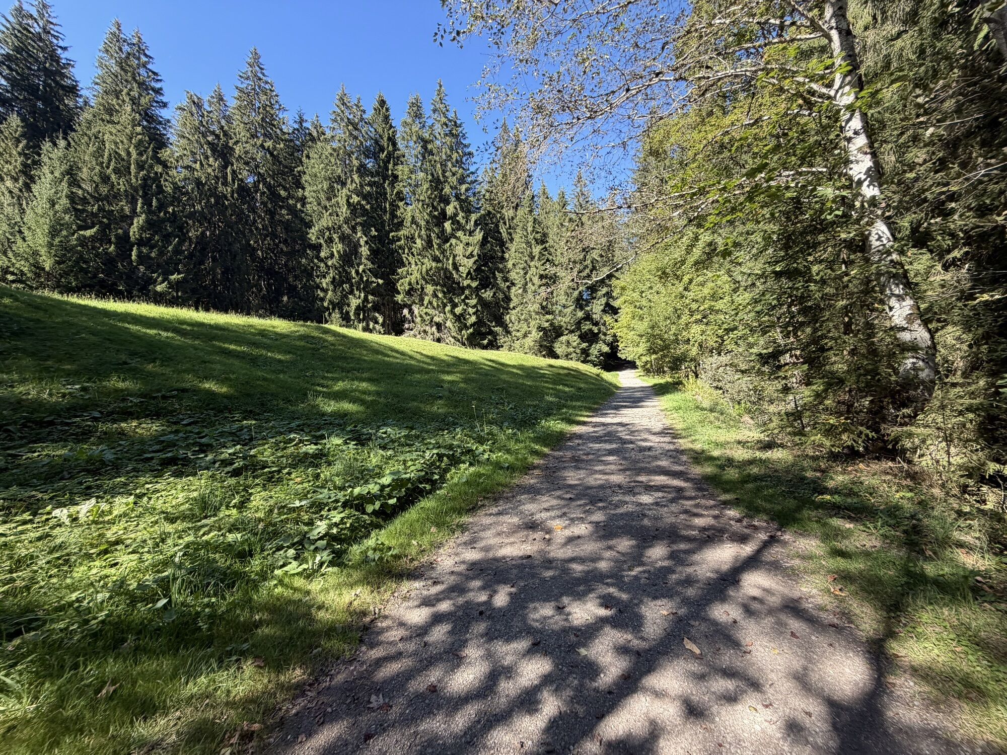
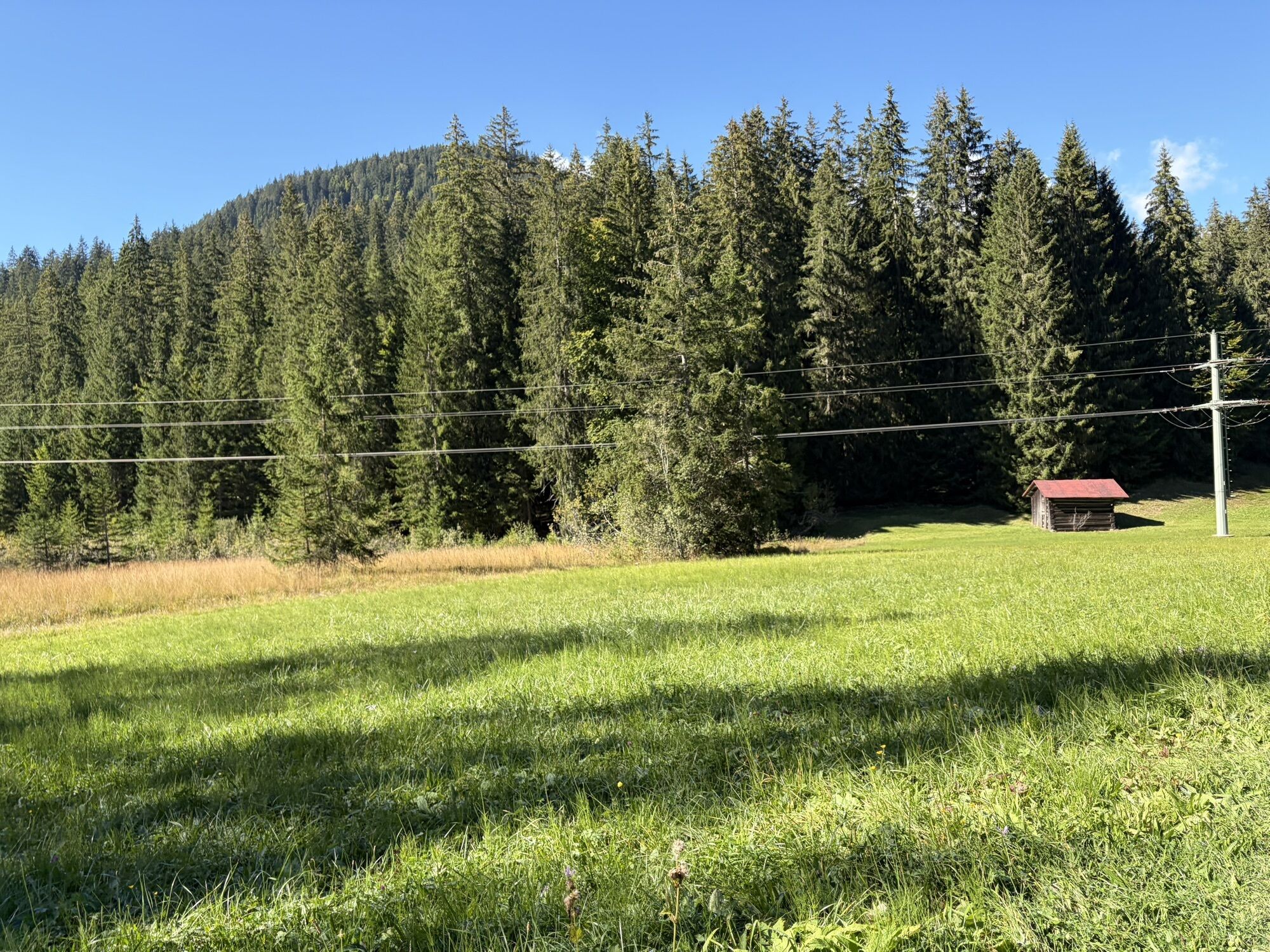
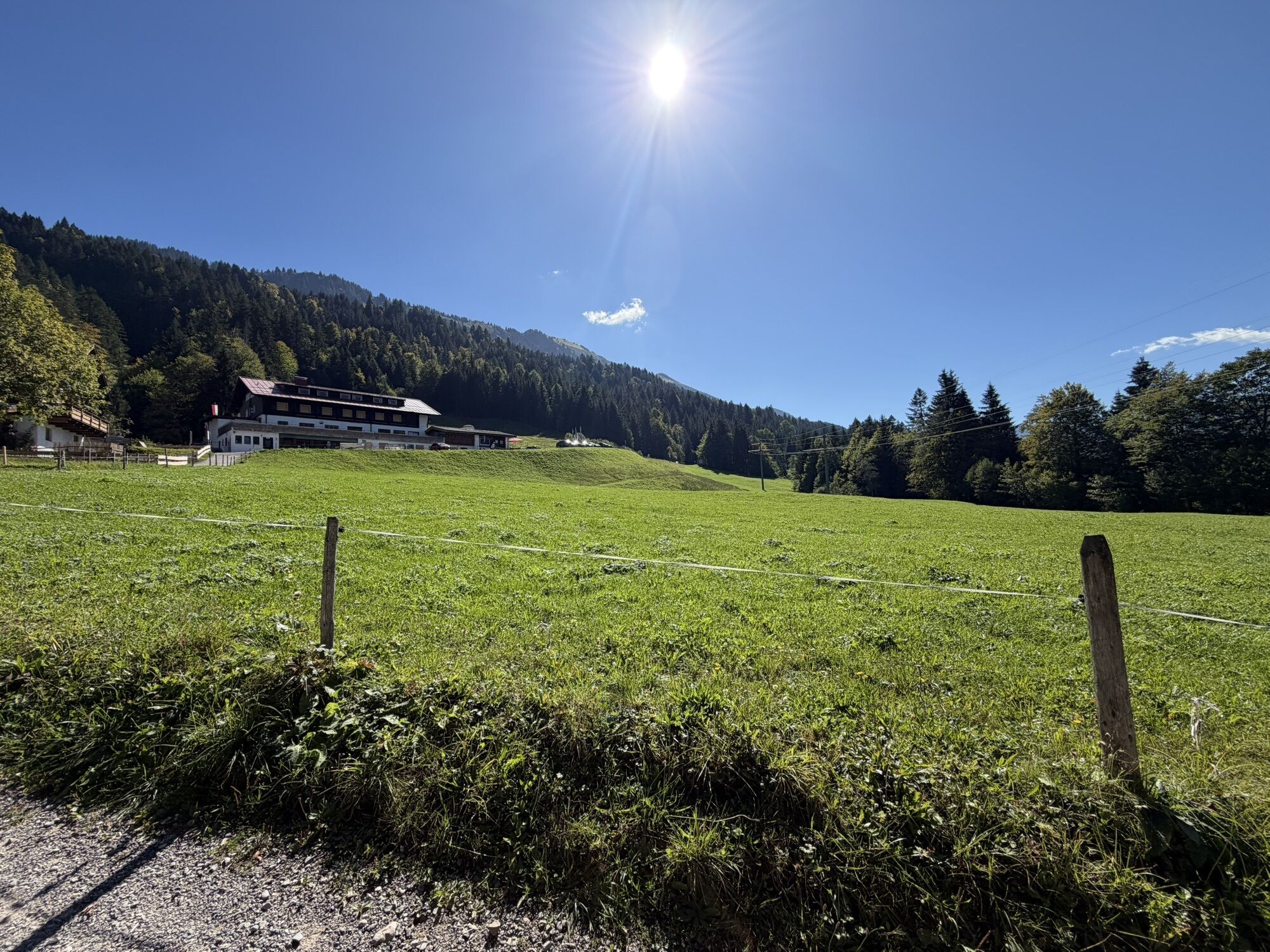
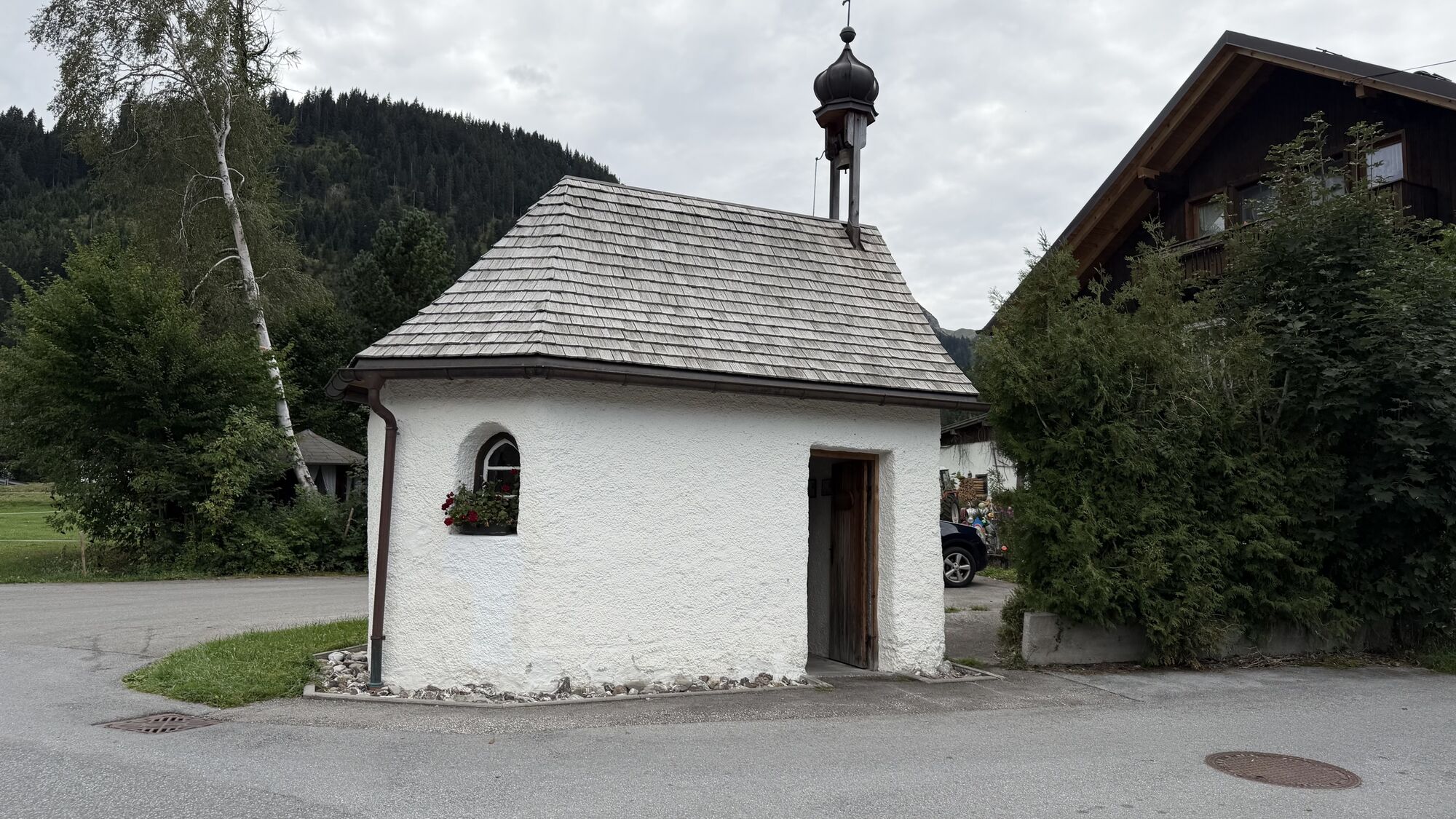
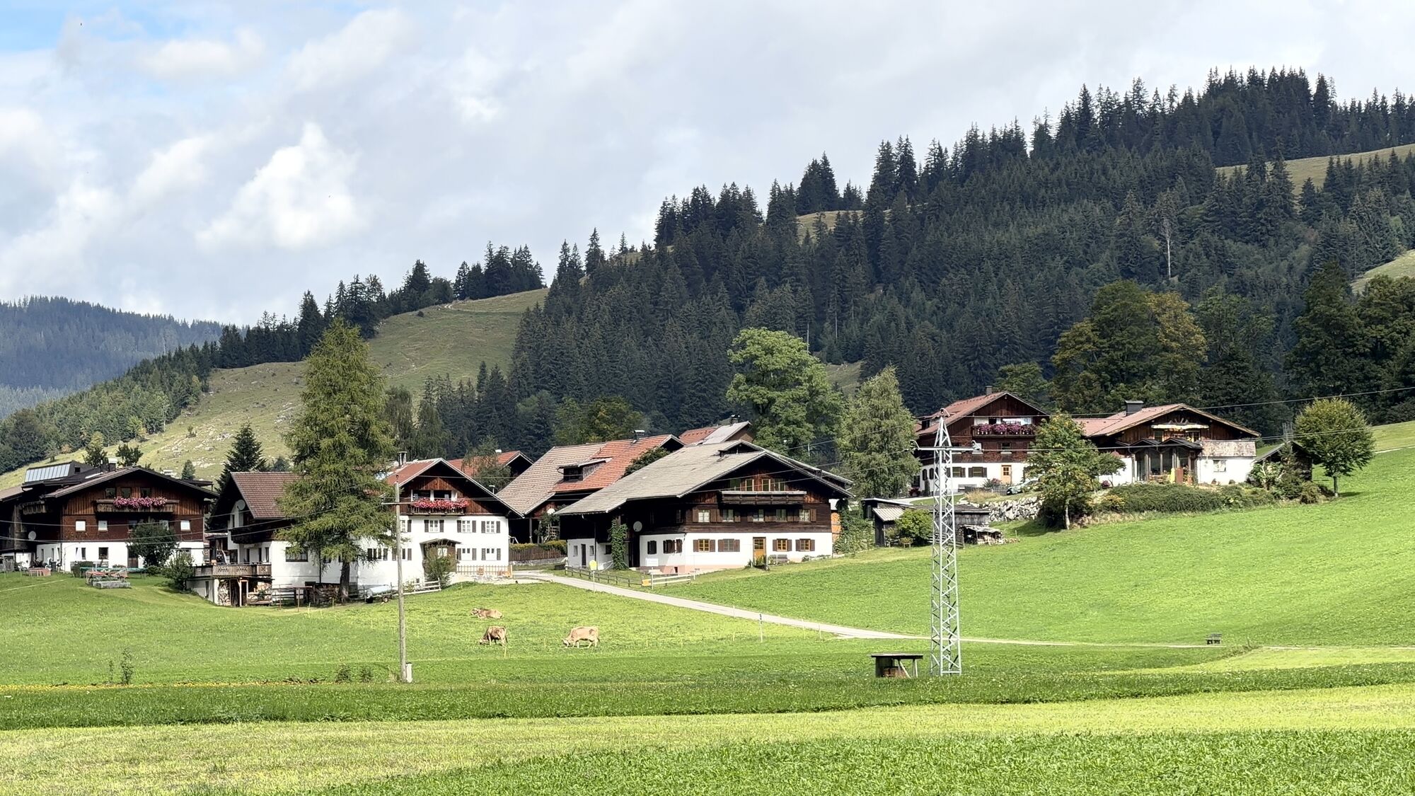
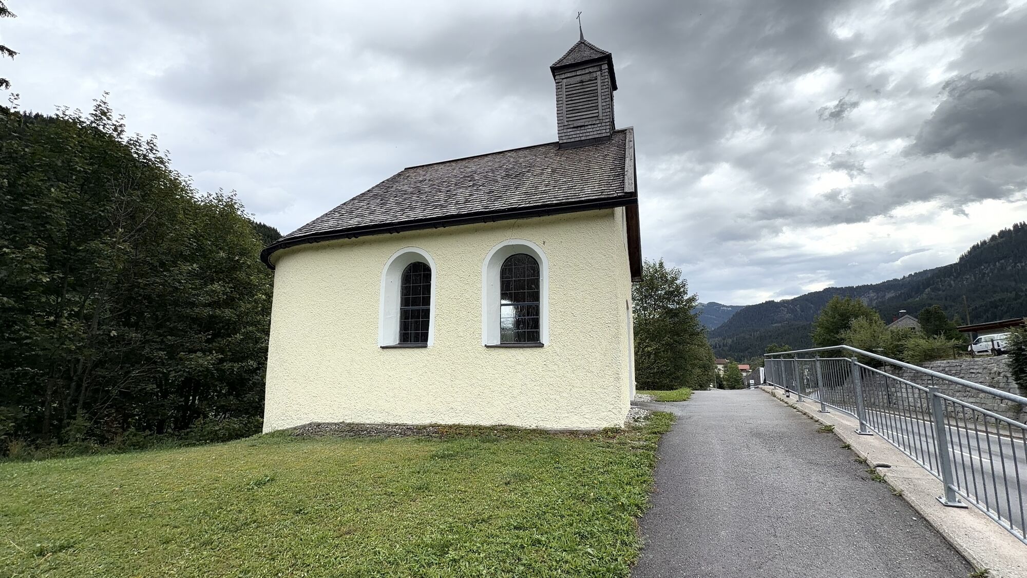
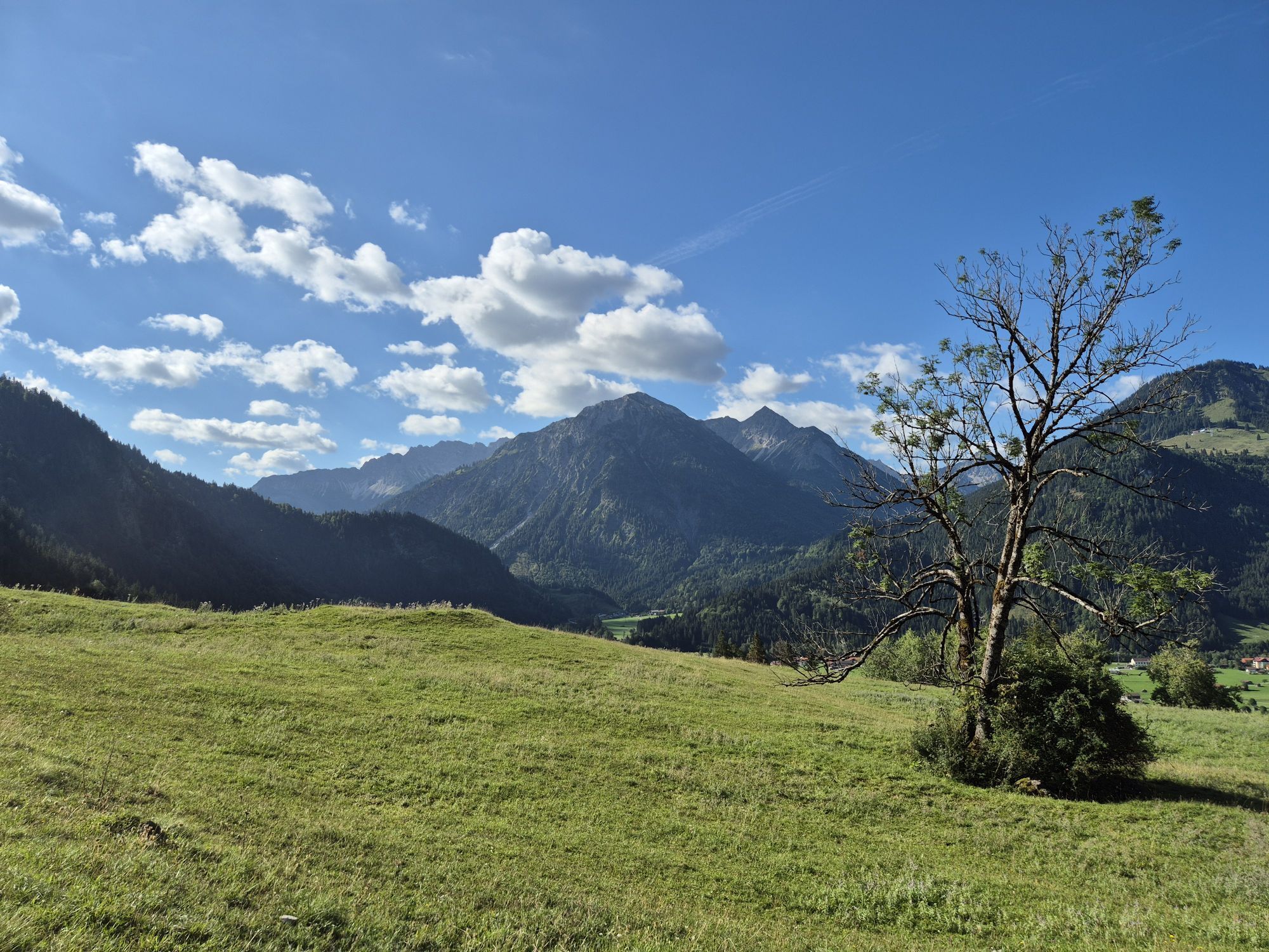
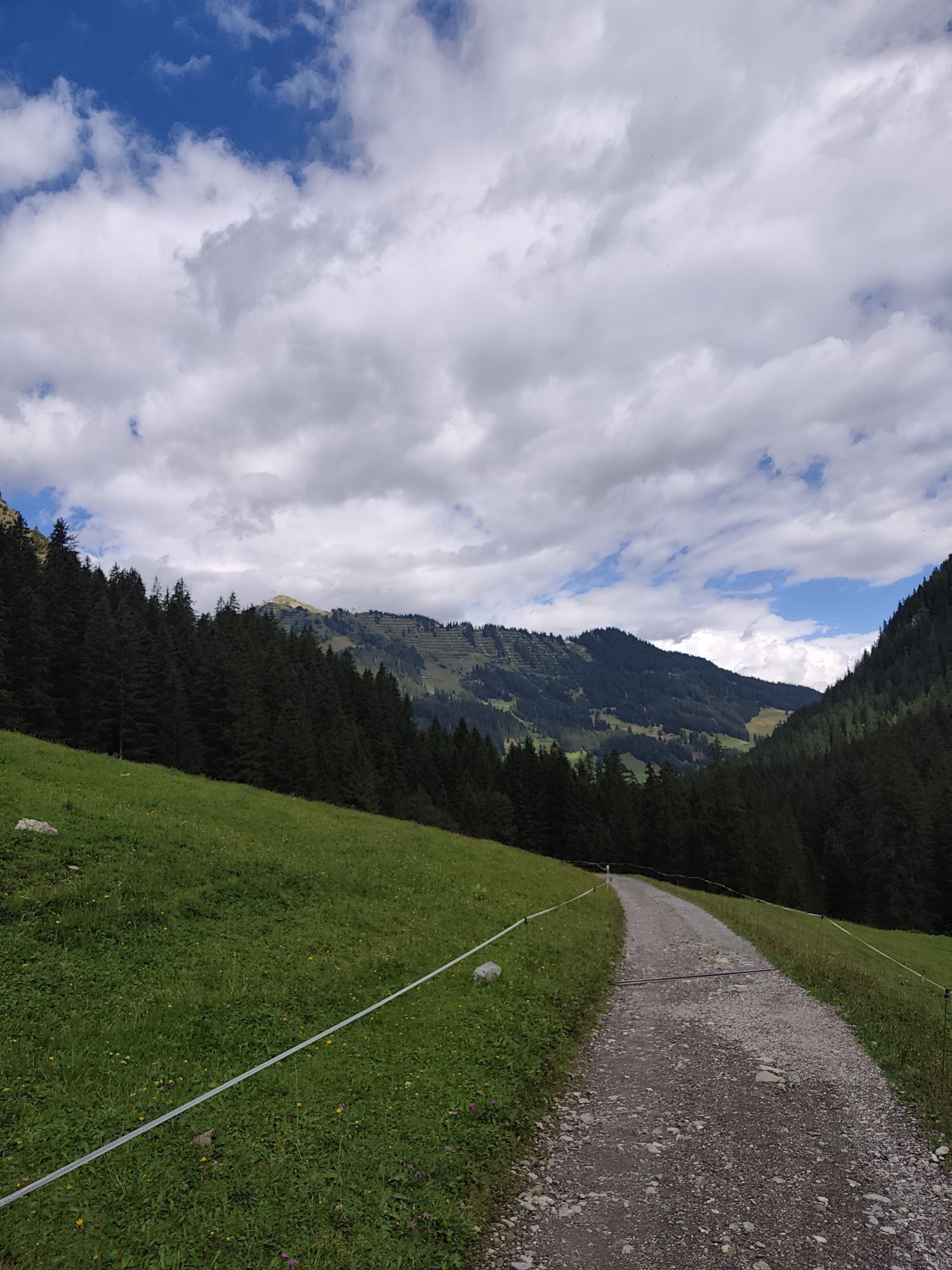
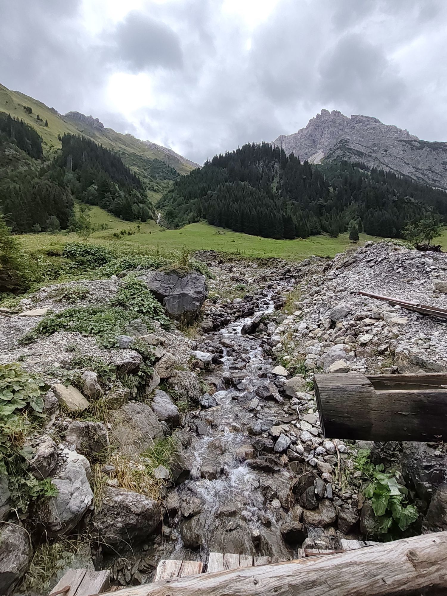
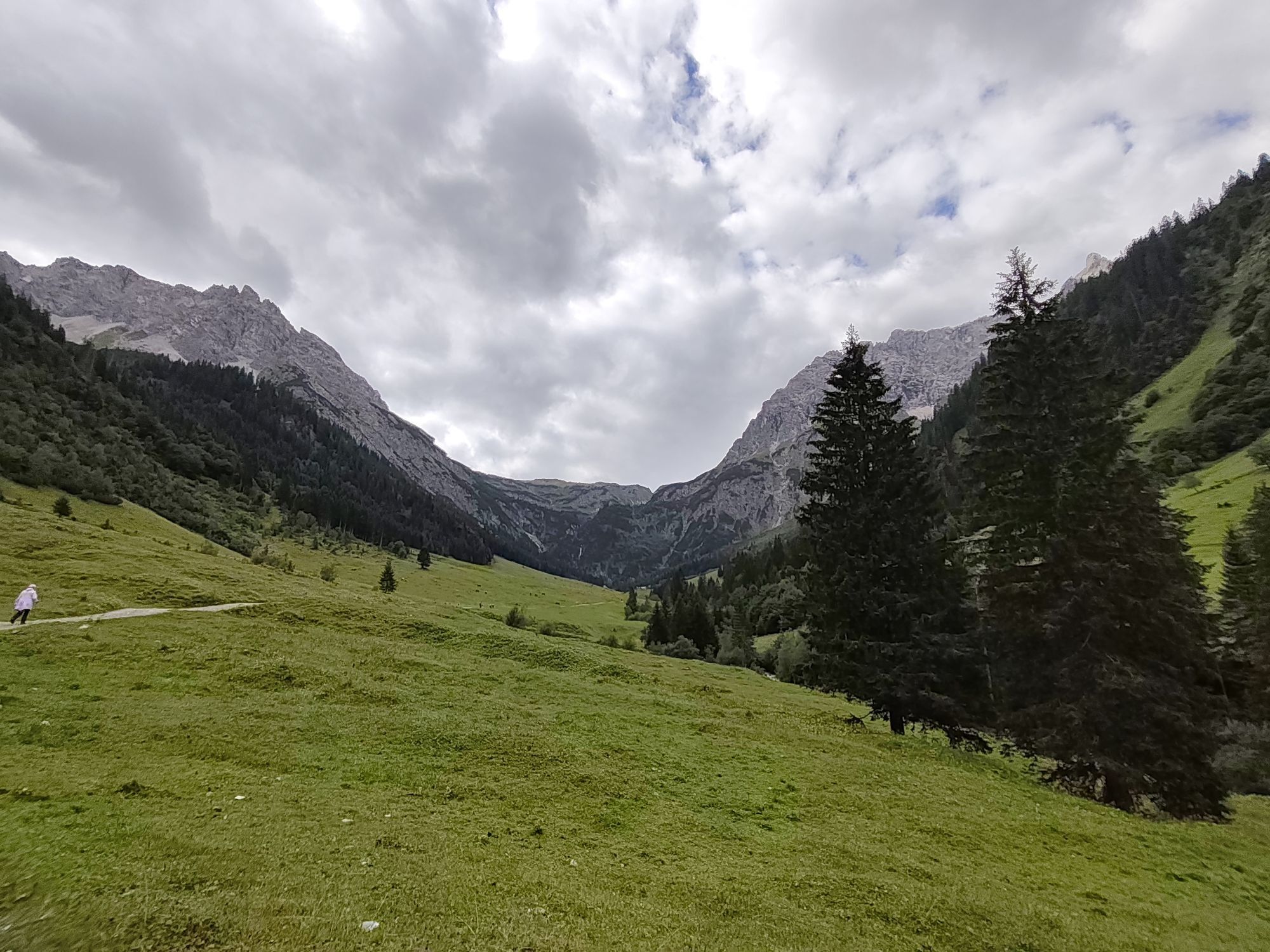
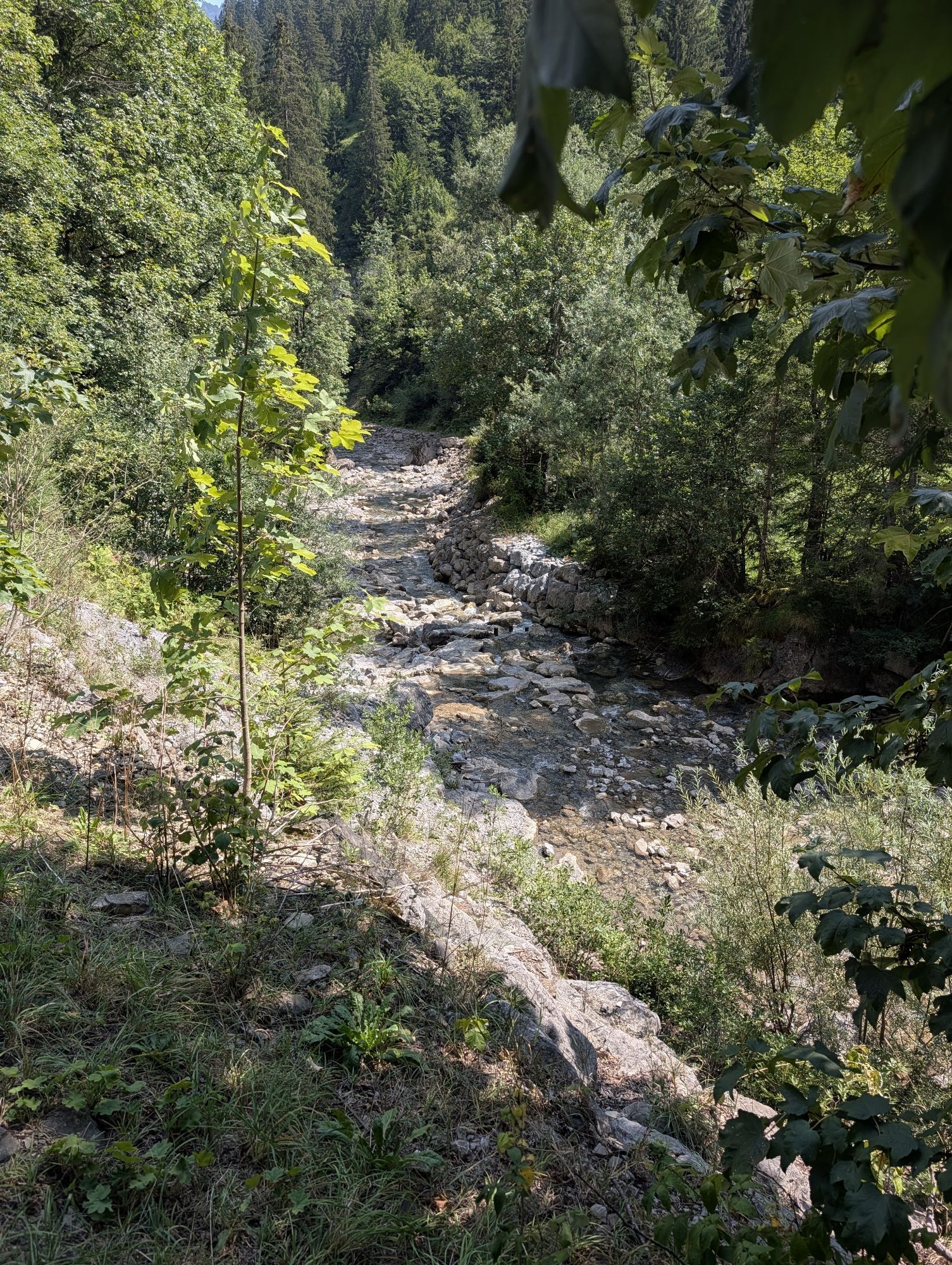
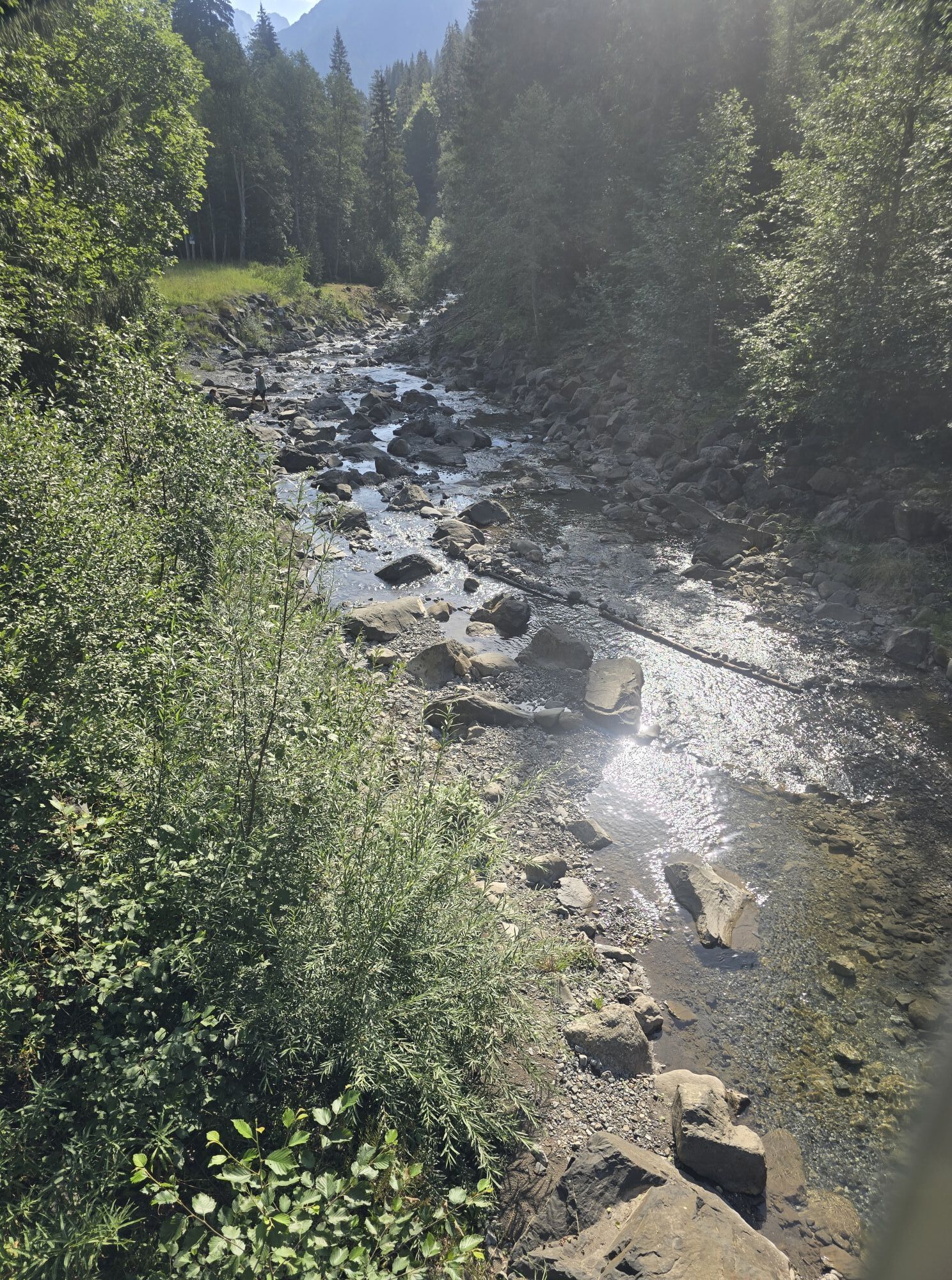


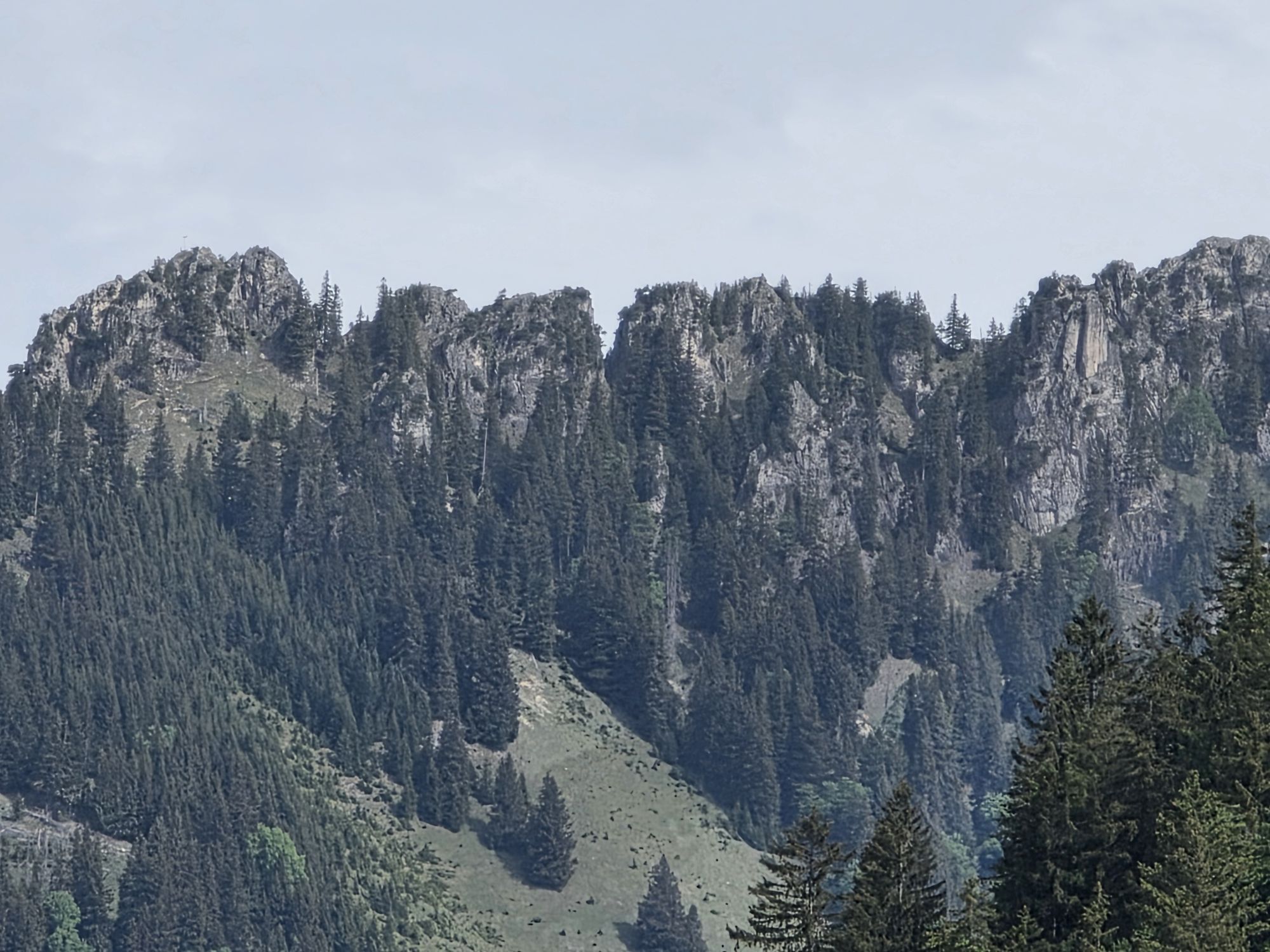
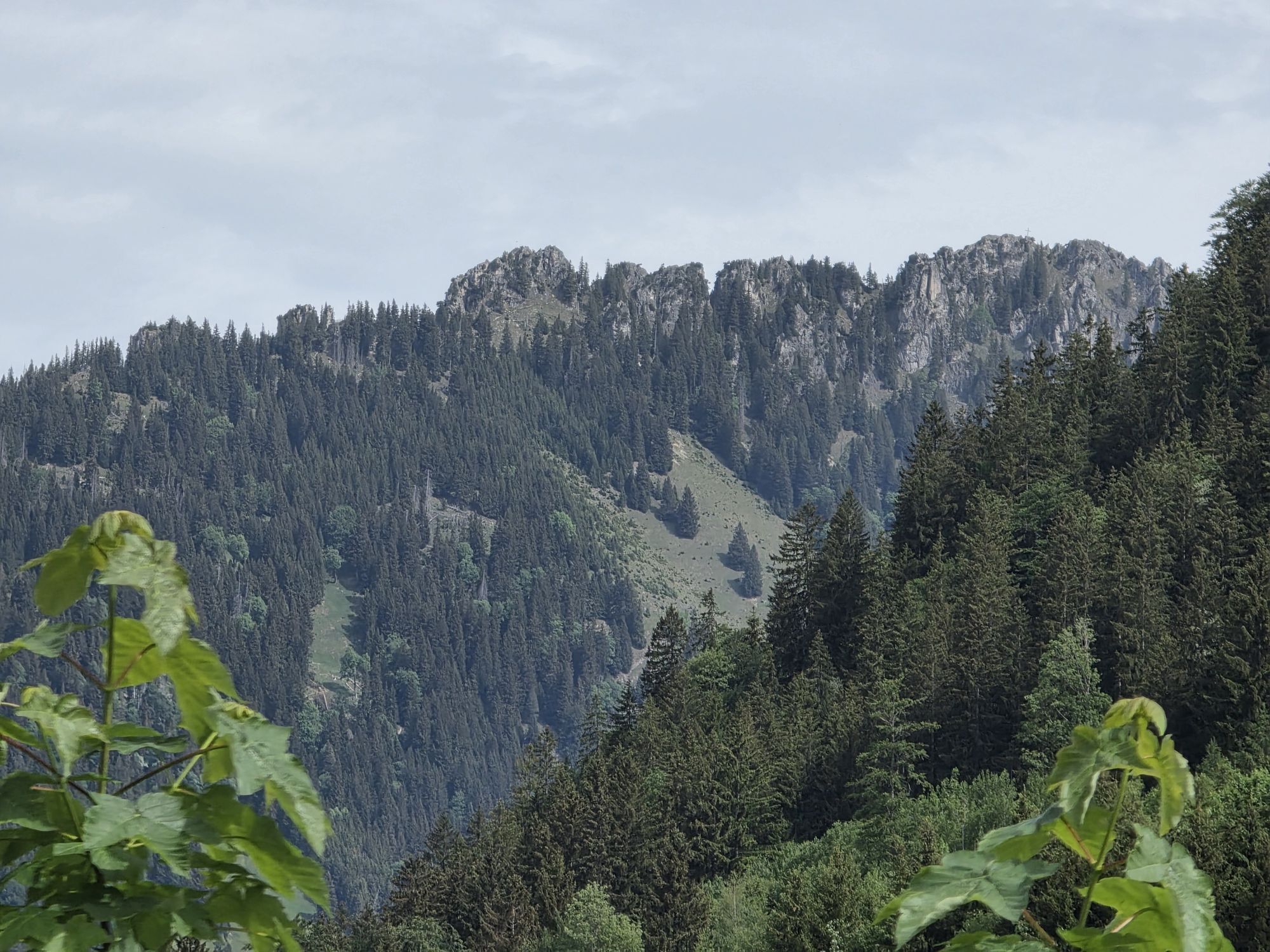


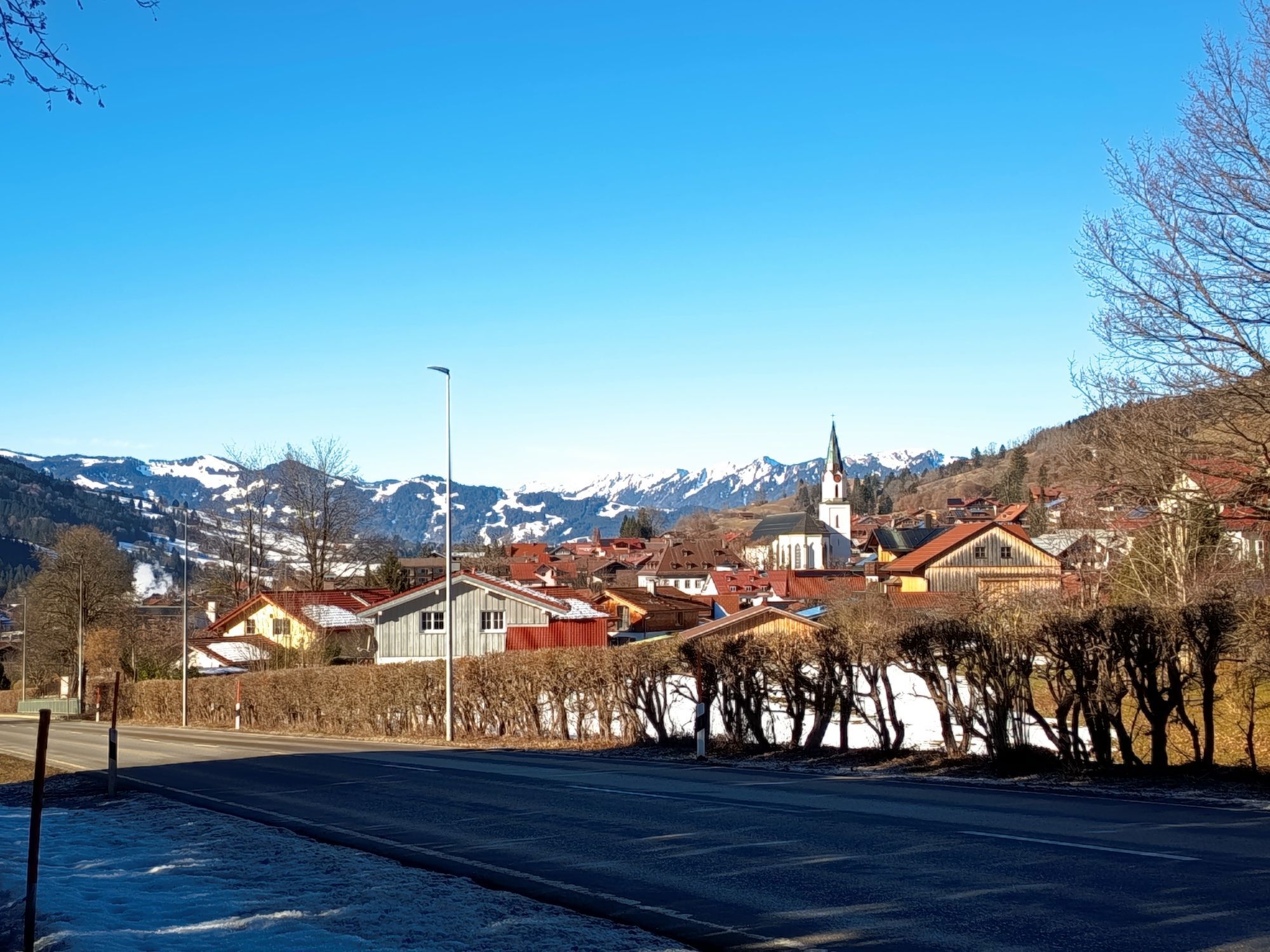




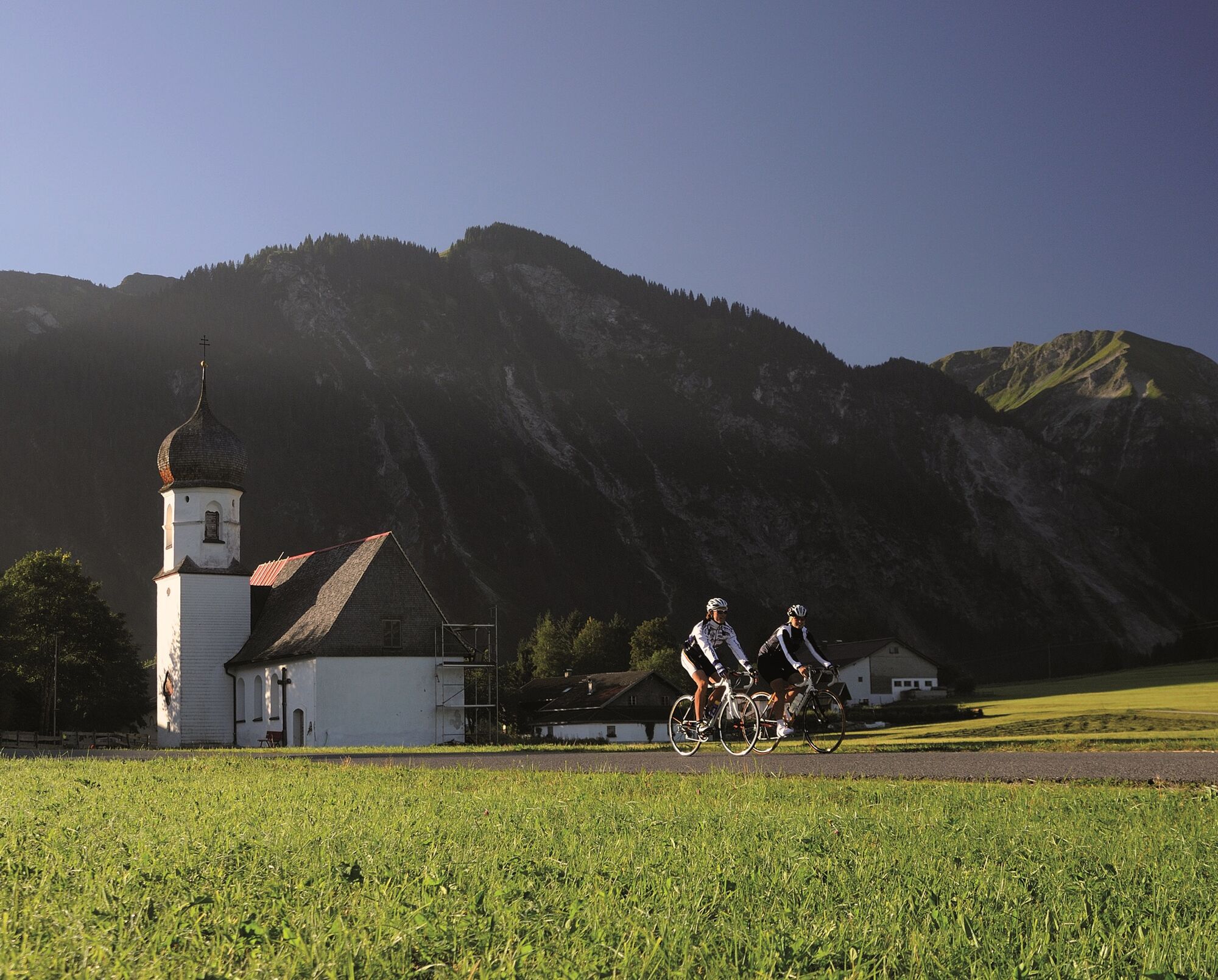
The Tannheimer Tal has been known among cyclists for quite some time, because in 2001 the retinue of the Tour of Austria Bicycle Tour went through the valley. In 2005 the cycling pros of the Tour of Bavaria...
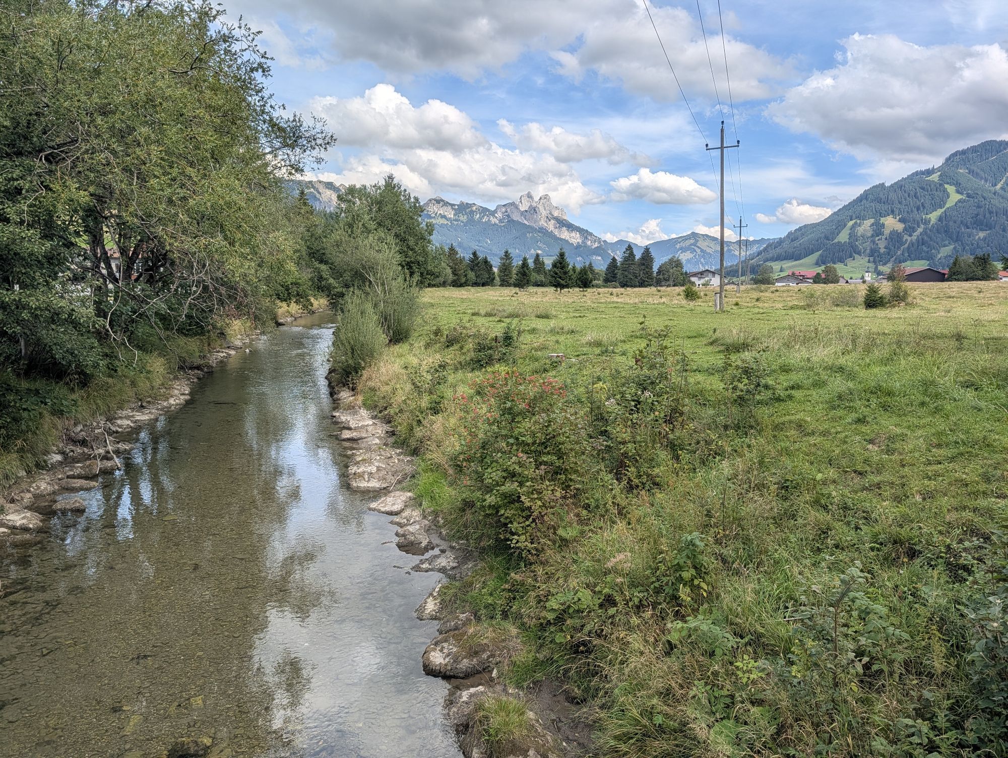
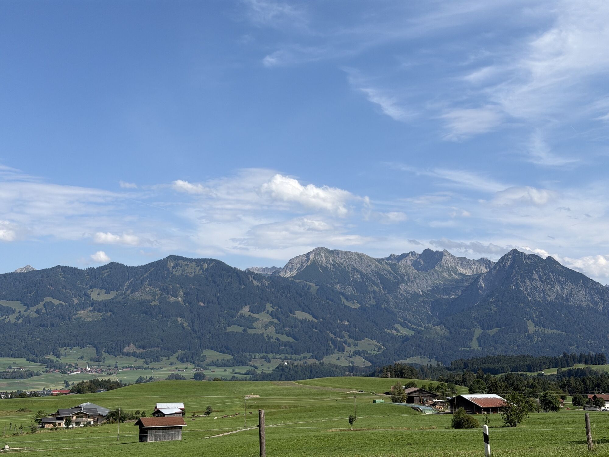
The Tannheimer Tal has been known among cyclists for quite some time, because in 2001 the retinue of the Tour of Austria Bicycle Tour went through the valley. In 2005 the cycling pros of the Tour of Bavaria came to Tyrolean soil at the opening stage and were rewarded with the mountain classification Tannheimer Tal and the mountain classification Jungholz. And even professionals noticed the scenic attractions of the "probably most beautiful high valley in Europe". Lush green meadows, the Haldensee and a beautiful mountain scenery accompanied the cycling pros on their competition kilometres. And thus the Tannheimer Tal has also advertised itself as an ideal region for specific training or extended tours. "The Tannheimer Tal is an ideal starting point for long racing bike tours to the surrounding regions such as Lake Constance or the Arlberg", says Michael Keller, managing director of the tourism association Tannheimer Tal and former national mountain bike coach of Austria. Cyclists find in the Tannheimer Tal not only the ideal starting point but also a wide range of accommodation. You can choose your accommodation from a 5-star house to a private room. After a nice ride you can relax and recharge your batteries. - The Tannheimer Tal



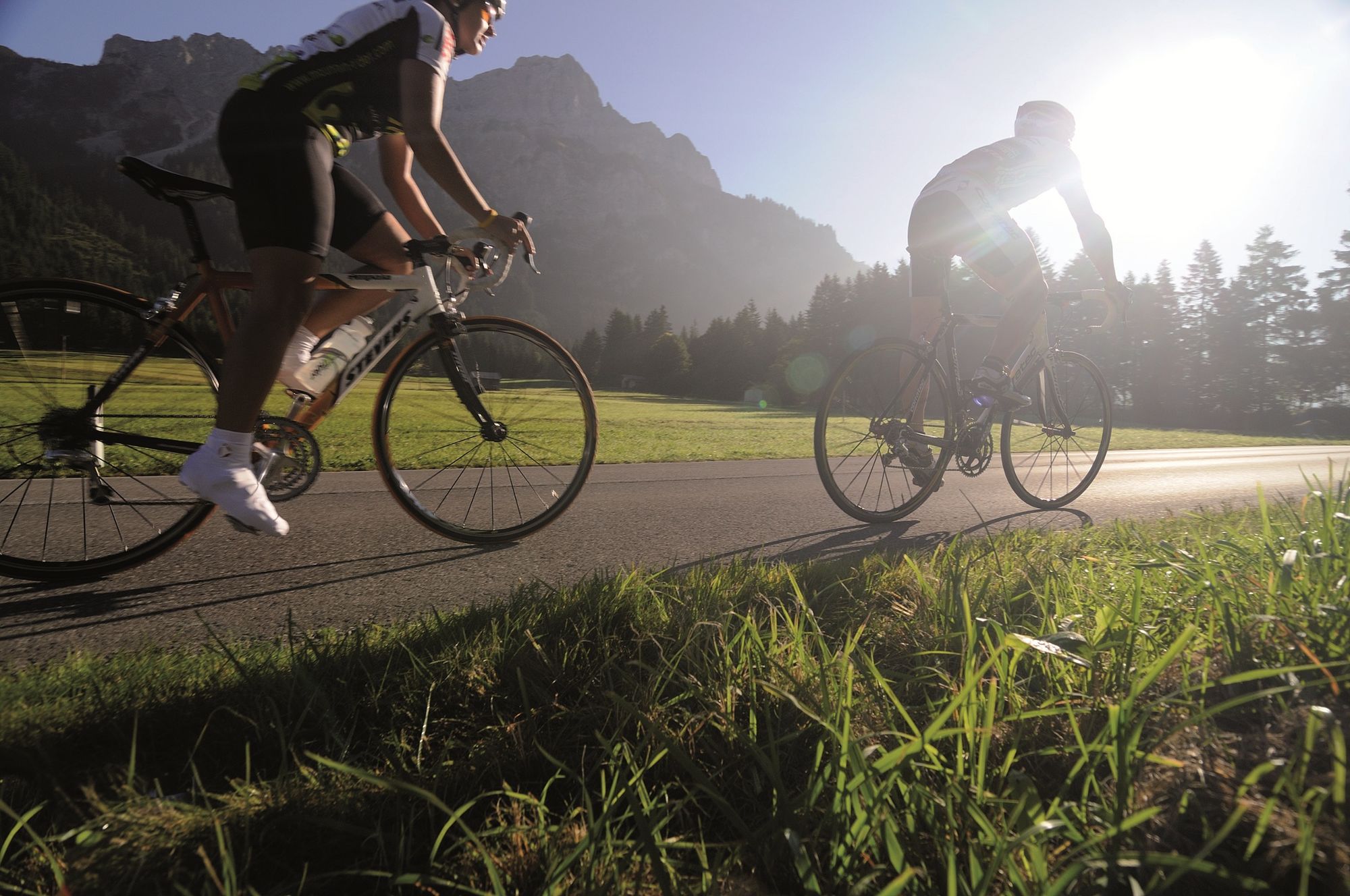

Start at the tourist information in Tannheim in western direction past Zöblen to Schattwald. At Schattwald a 1.5 km long ascent begins up to the former German customs office Oberjoch. After a short descent, turn left at the crossing in Oberjoch and follow the Jochpass down the valley to Bad Hindelang. Follow the road to the entrance of Sonthofen. Turn left and follow the signs to the swimming pool. Before the level crossing, turn left at the crossroads. Via old towns, Schöllang and Rubi towards Oberstdorf. At the roundabout turn right and at the next crossing turn left into Kleinwalsertal. Follow the road until the end of the valley. Turn around in Baad and via Mittelberg and Kornau to the beginning of the valley. Turn left at the crossing and immediately left again. Via the villages Obermaiselstein and Ofterschwang to Sonthofen. At the crossing with traffic lights straight on towards Oberjoch/Reutte, passing through Binswangen, Reckenberg, Vorderhindelang to Bad Hindelang. Here follows the ascent over the Jochpass, with max. 7% gradient, to Oberjoch. In Oberjoch turn right at the crossing and follow the main road to the starting point in Tannheim.
Sí
The personal equipment must be safe and serviceable and meet the relevant technical standards. Every racing cyclist is recommended to obtain information about the planned tours from specialist literature or on site. Complete racing bike equipment is strongly recommended, even for experienced cyclists!
The StVO applies. General valid and customary rules of conduct.
It should be noted that in road cycling there is an increased risk of accidents and injuries. Despite careful tour planning, a basic risk always remains. Tour preparation through endurance sports, appropriate training and further education as well as personal prudence reduces the risk of accidents and injuries.
On the motorway A7 at the exit "Oy-Mittelberg" on the B310 towards Wertach and to Oberjoch. There follow the signposting "Tannheimer Tal" B199, exit Tannheim. From the Tyrolean side via Reutte on the B198 towards Lechtal until Weißenbach, over the Gaichtpass along the B199 until exit Tannheim.
By train to Sonthofen, Pfronten/Ried or Reutte, then by bus to Tannheim.
Parking spaces at the Neunerköpfle gondola lift in Tannheim - subject to charges.
4
Tourismusverband Tannheimer Tal
Webcams del recorrido
-
Bergstation Kanzelwandbahn Riezlern
-
Tannheim
-
Fellhornbahn Station Schlappoldsee
-
Fellhornbahn Gipfelstation
-
Hahnenköpflebahn Bergstation / Ifenbergbahn
-
Bad Hindelang/Oberjoch
-
Fellhorn/Oberstdorf Kleinwalsertal
-
An der Seealpe
-
Hirschegg - Naturhotel Chesa Valisa
-
Zaferna Bergstation
-
Neunerköpfle Mittelstation
-
Nebelhorn
-
Obermaiselstein
-
Oberstdorf Schanze
-
Mindelheimer Hütte
-
Fischen im Allgäu
-
Riezlern - Kinderland
-
Wildentalhütte
-
Mittelberg - Naturhotel Lärchenhof
-
Plattform - Schirmbar Riezlern
-
Riezlern Unterwestegg - Gästehaus Almenrausch
-
Riezlern/Schwende - Genuss- & Aktivhotel Sonnenburg
-
Hirschegg - Hotel Walserhof
-
Hirschegg - Hotel Birkenhöhe
-
Hirschegg - Hotel Sonnenberg
-
Mittelberg Bödmen - Hotel Alte Krone
-
Riezlern - Hotel Erlebach
-
Grän - Almdorf Tirol
-
Neunerköpfle Mittelstation
-
Bergstation Weltcup-Express
-
Bergstation Ofterschwang
-
Gipfel Ofterschwanger Horn
-
Talstation Ossi-Reichert Bahn
-
Mittelberg - Haus Walser Berge
-
Möserbahn Berg
-
Möserbahn Berg
-
Möserbahn Berg
-
Möserbahn Berg
-
Oberstdorf - Söllereck Berg
-
Oberstdorf Langlaufstadion

Rutas populares en los alrededores
-
4,9
Gerstruben - zum historischen Bergbauerndorf
medioSenderismo 12,8 km -
4,4
Winterwanderung ins Oytal
medioSenderismo de invierno 10,1 km -
4,6
Ruta de montaña sobre la cresta del Fellhorn
medioSenderismo 8,24 km -
4,2
2-Länder-Panorama-Rundwanderweg Fellhorn/Kanzelwand
luzSenderismo 6,70 km -
4,8
Iseler und Kühgundkopf
medioSenderismo 7,63 km -
3,9
Klassikertour: Auf den Grünten
pesadoSenderismo 8,50 km -
4,7
Rubihorn
medioSenderismo 9,06 km -
4,7
E5 - 1. Etappe: Oberstdorf - Kemptner Hütte
luzSendero de largo recorrido 7,80 km -
4,7
3-Gipfel-Tour
medioSenderismo 11,2 km -
4,7
3-Seen Rundtour Vilsalpsee / Schrecksee / Traualpsee
medioSenderismo 17,1 km
Senderismo y rastreo


No se pierda las ofertas y la inspiración para sus próximas vacaciones
Su dirección de correo electrónico se ha añadido a la lista de correo.


