






A1 - Relaxed cycling to lake Walchsee
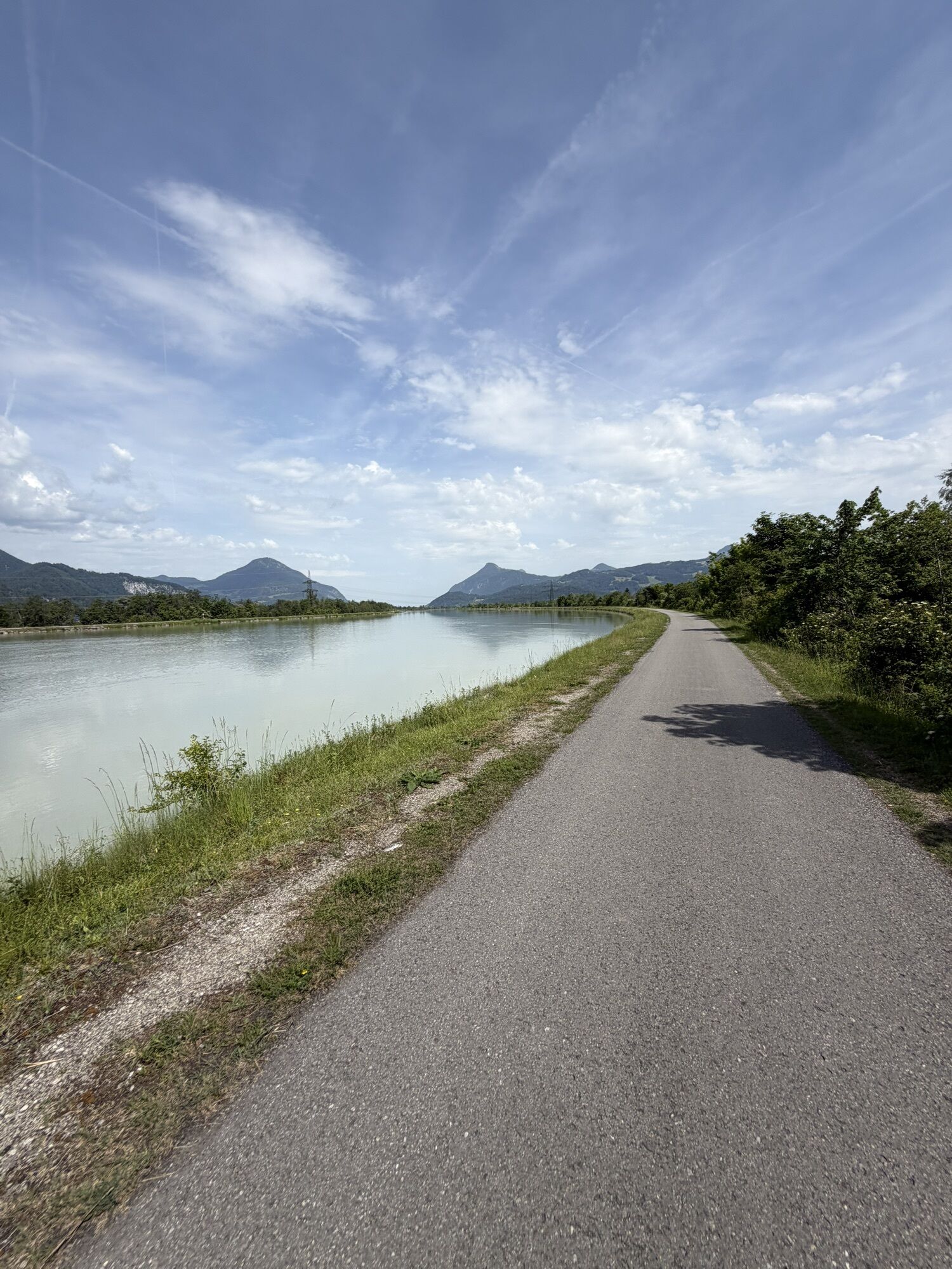
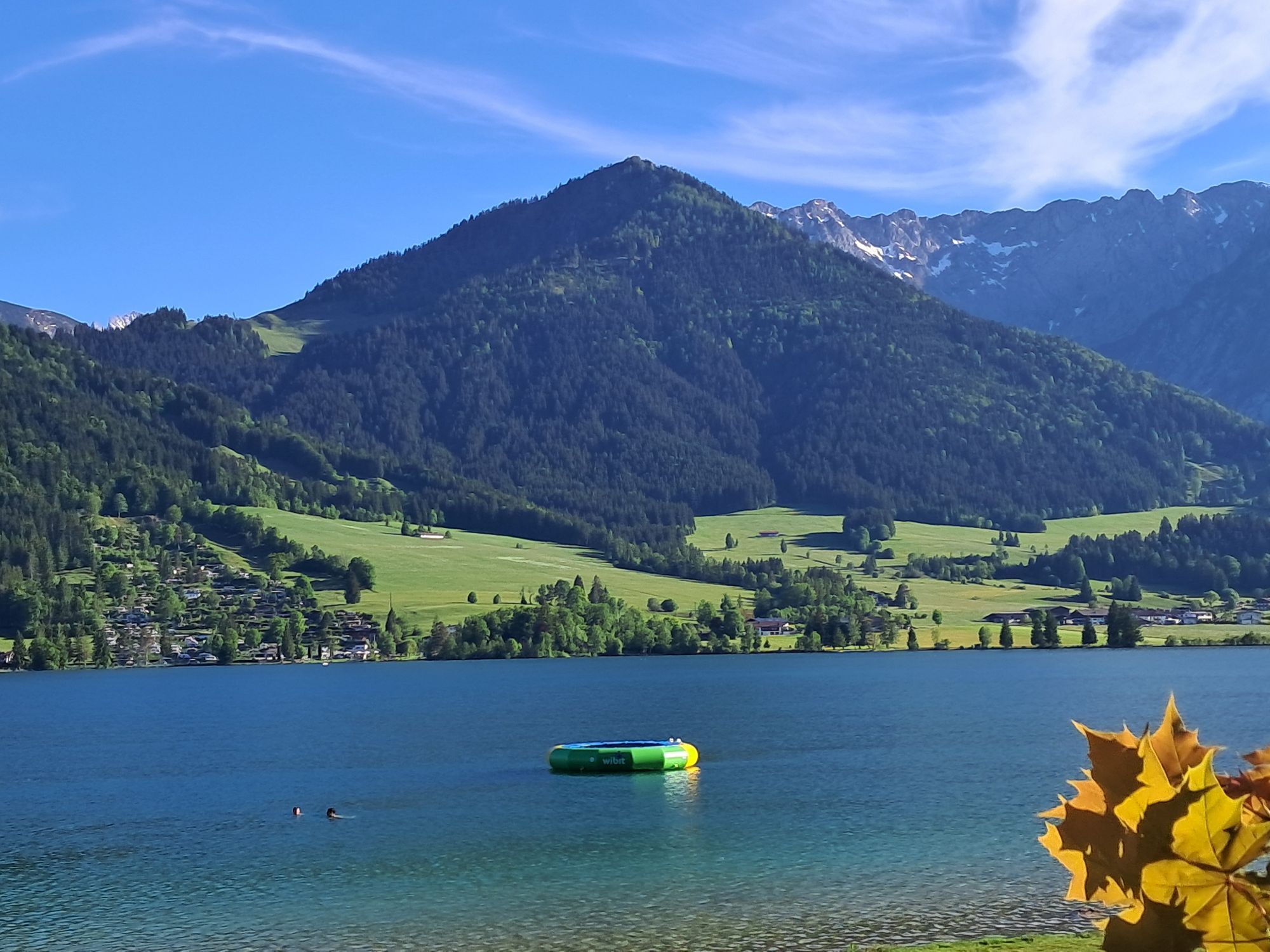
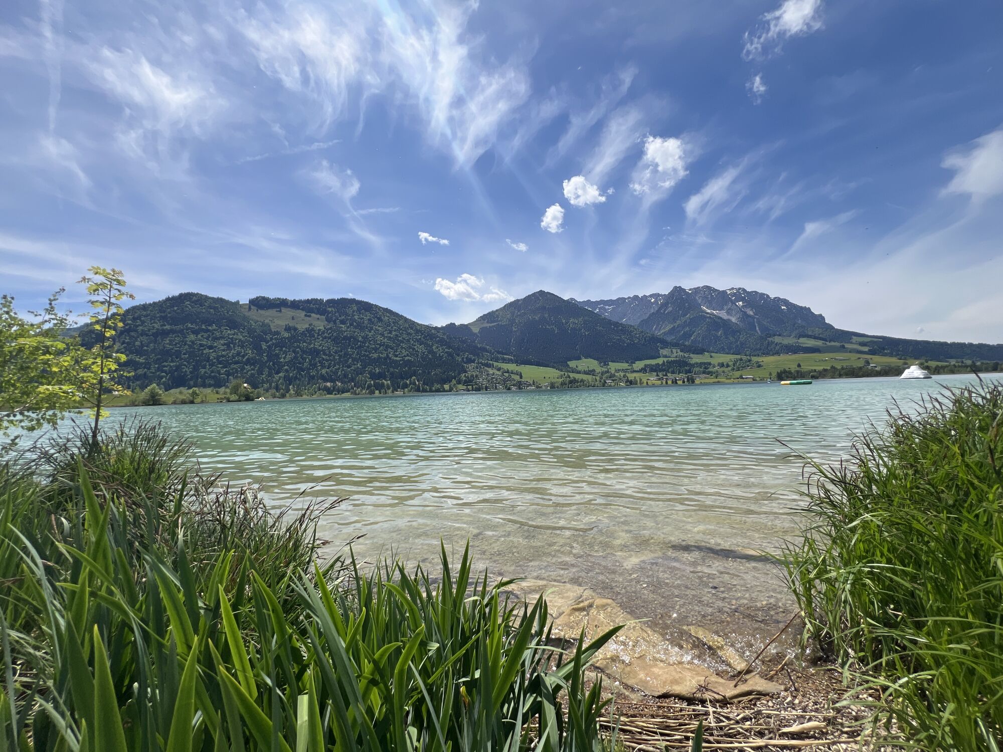
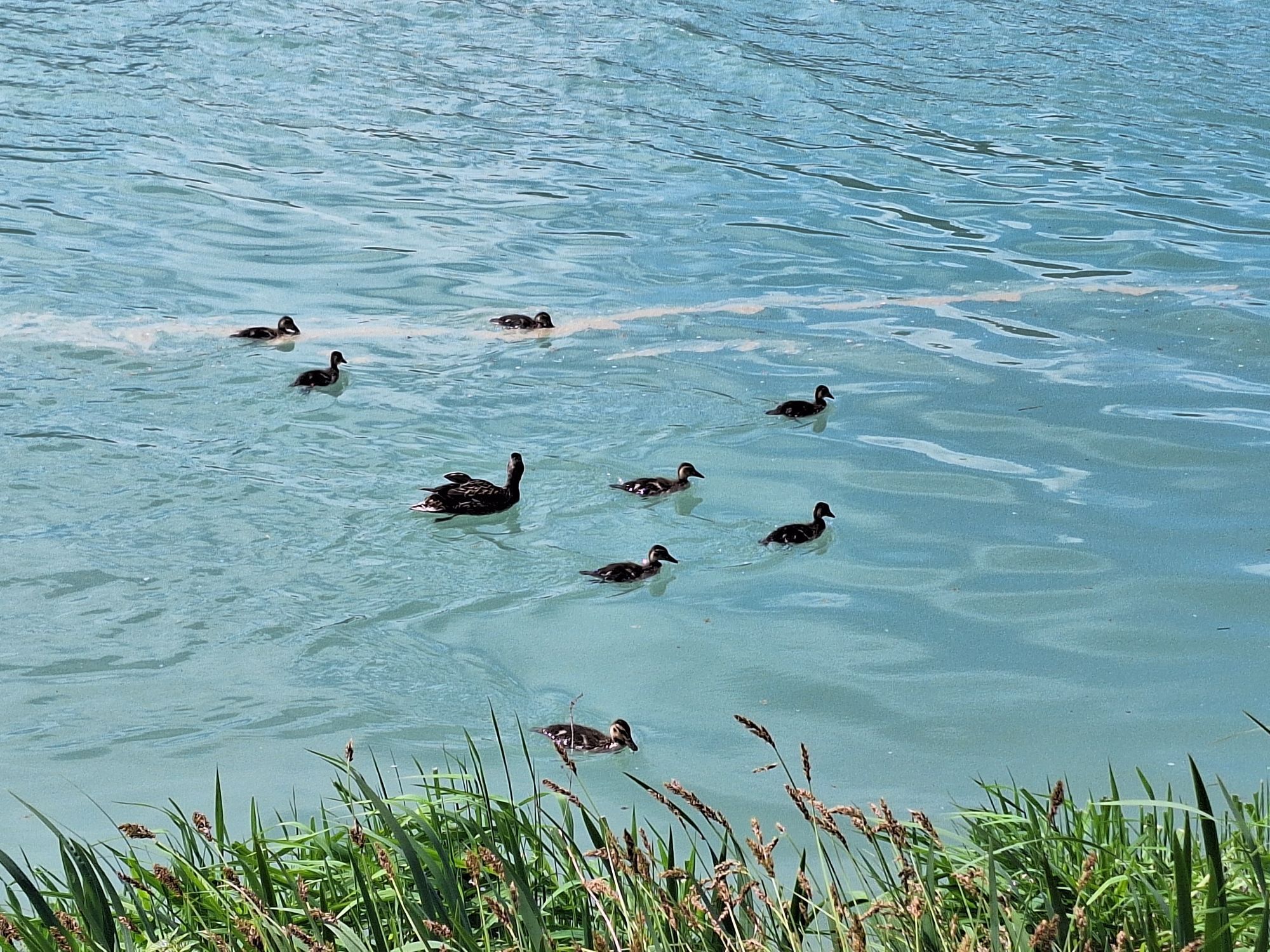
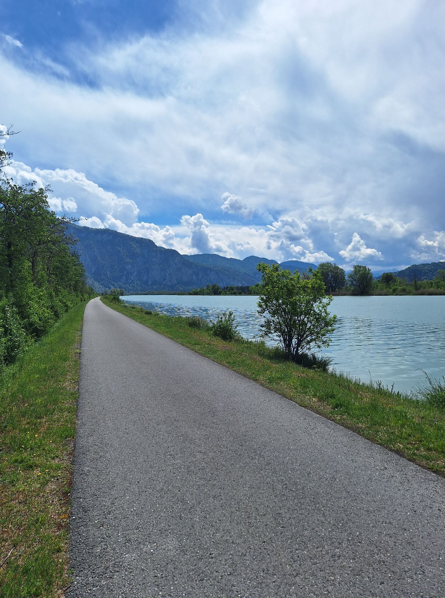
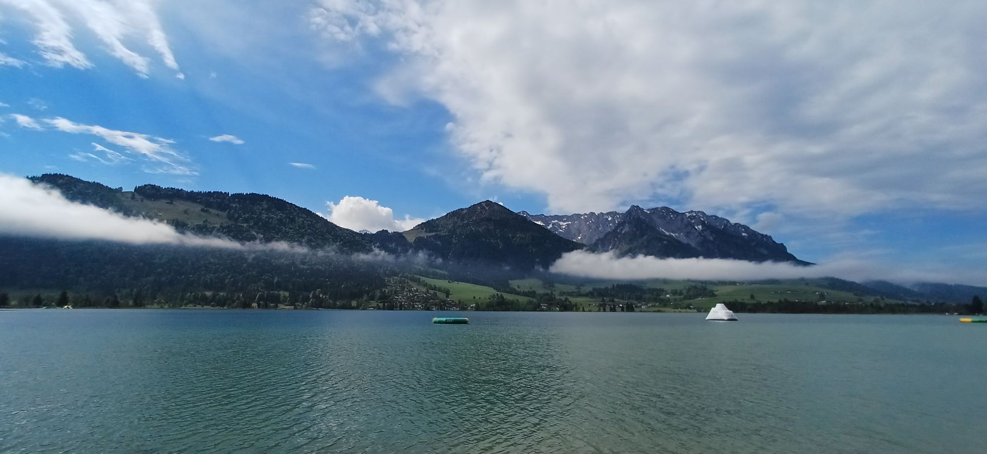
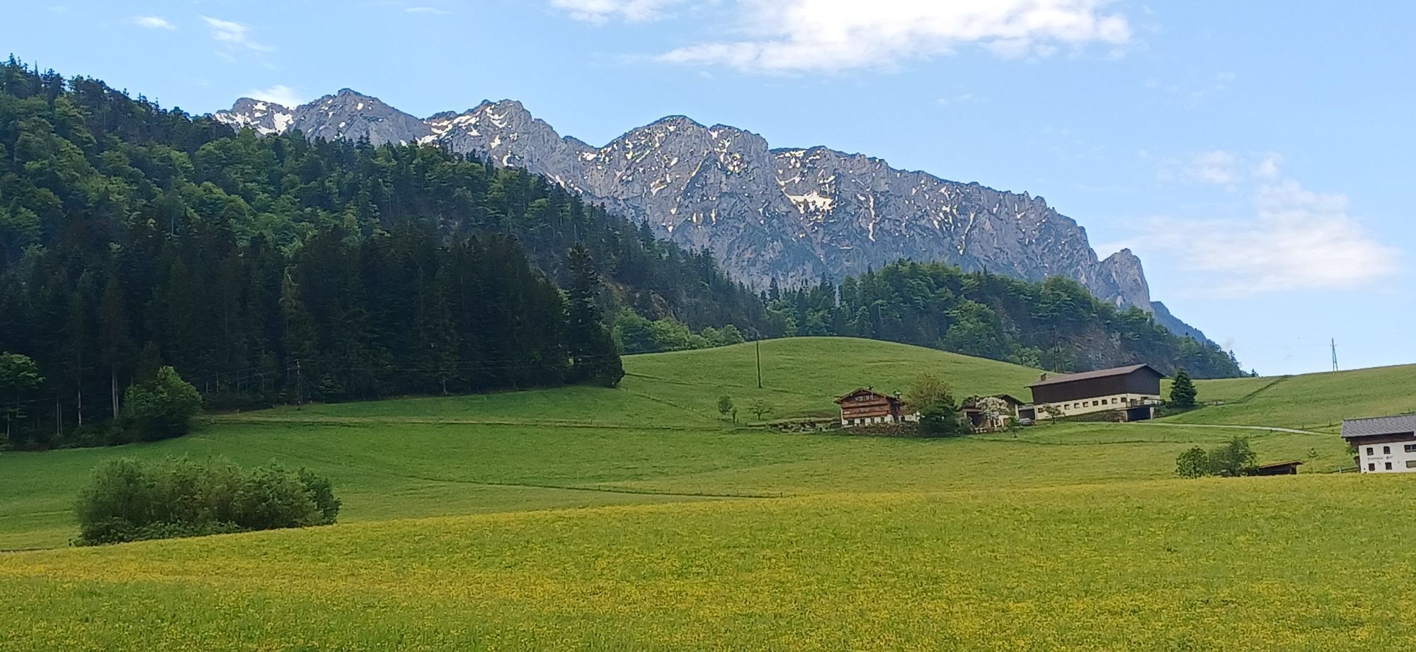
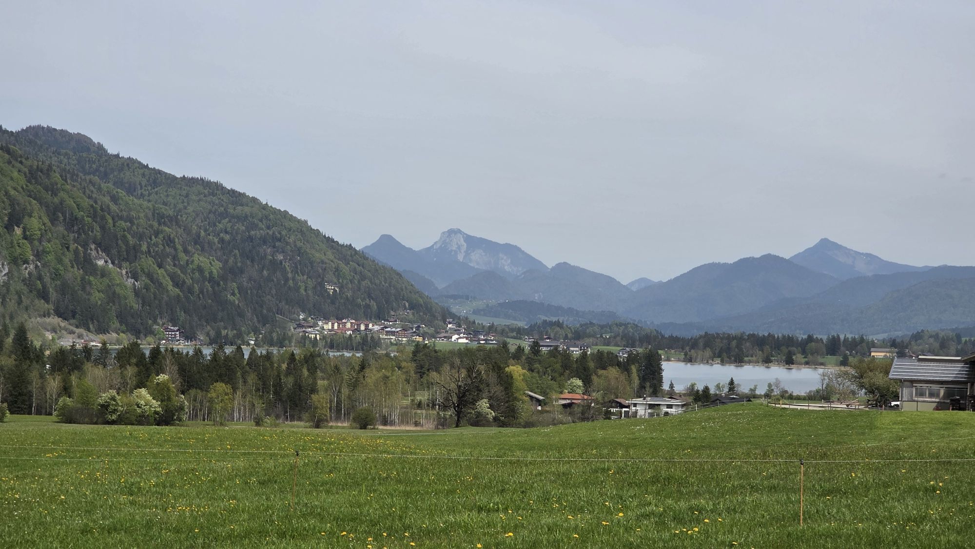
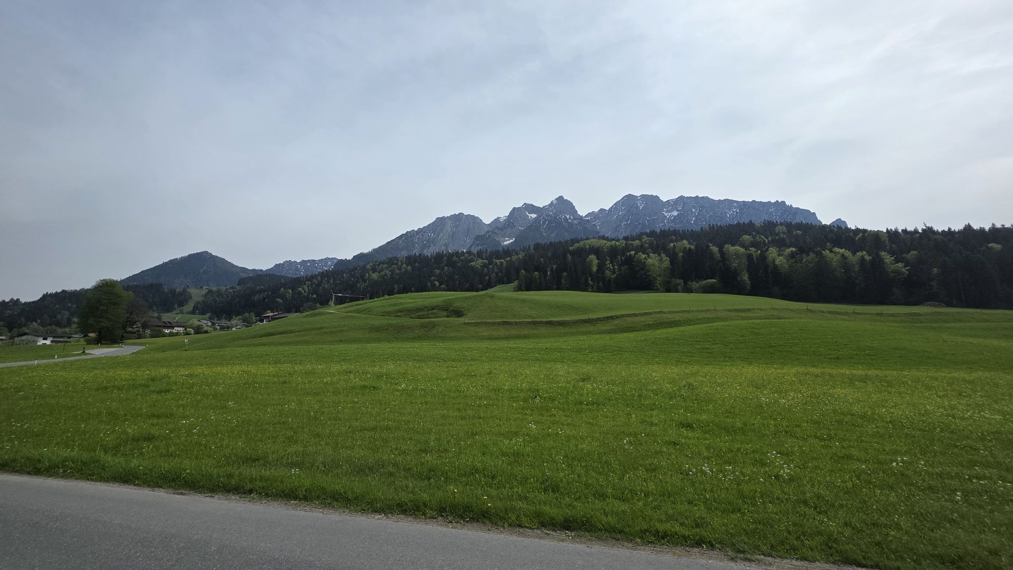
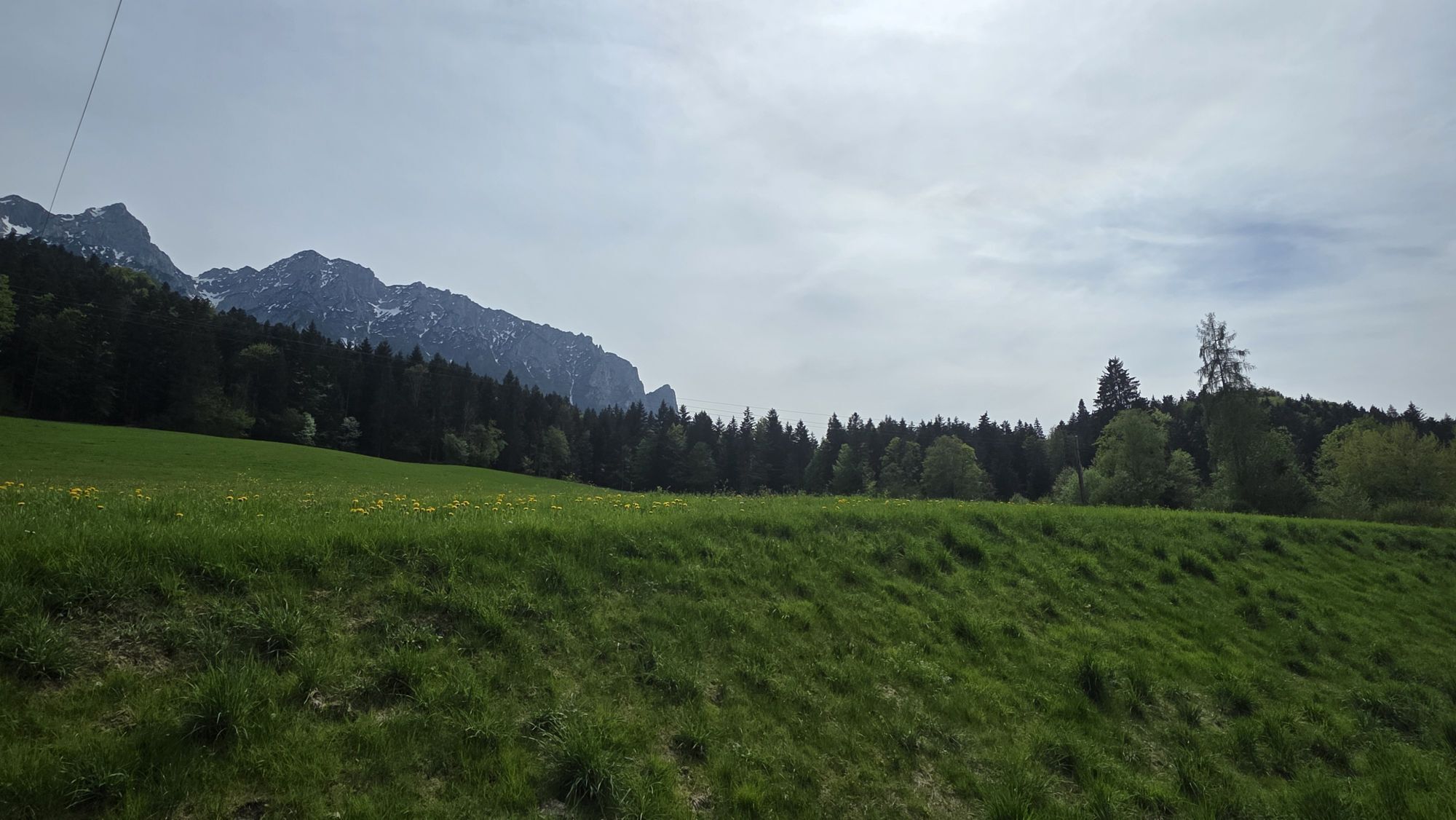
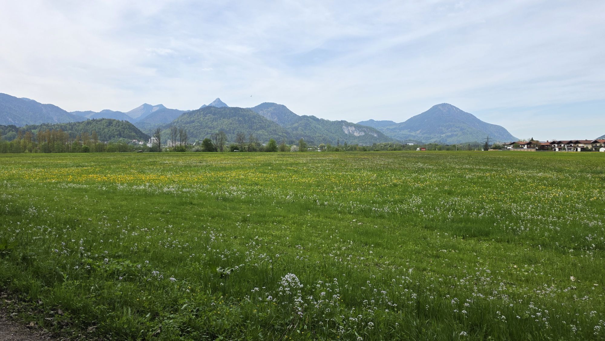
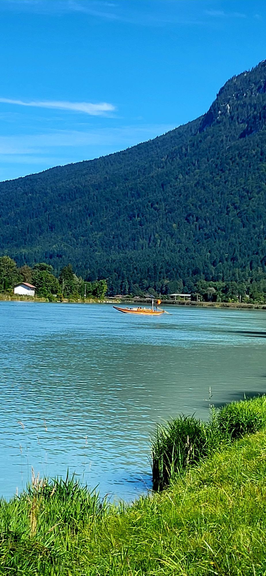
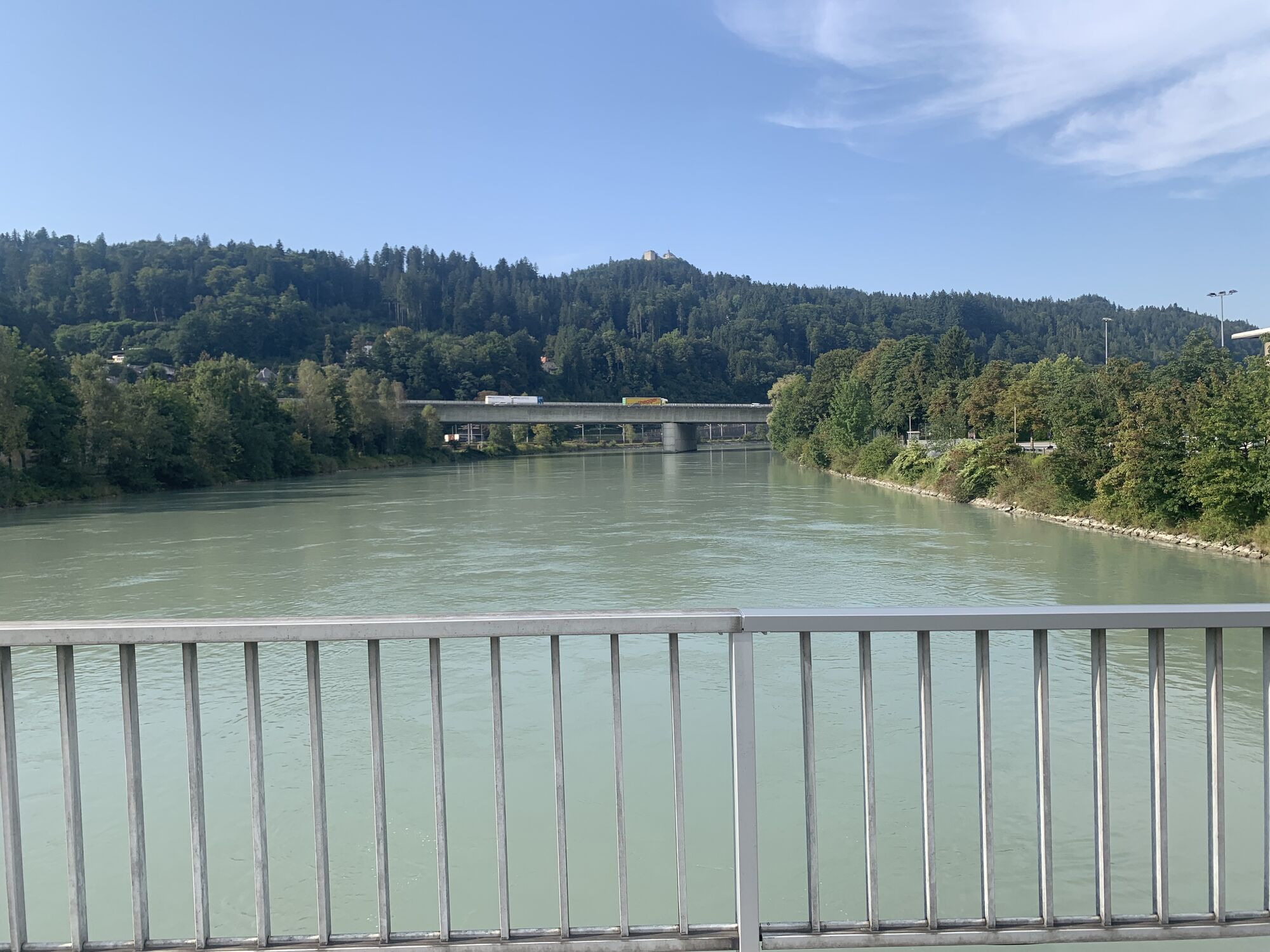
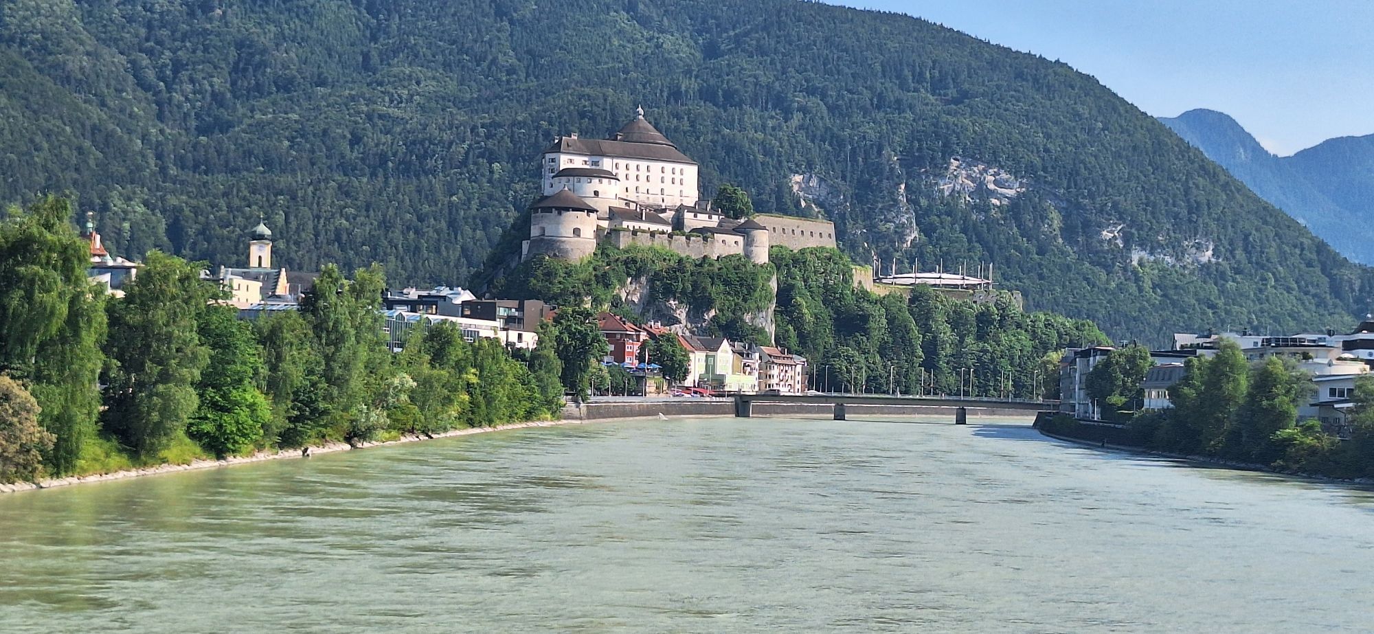
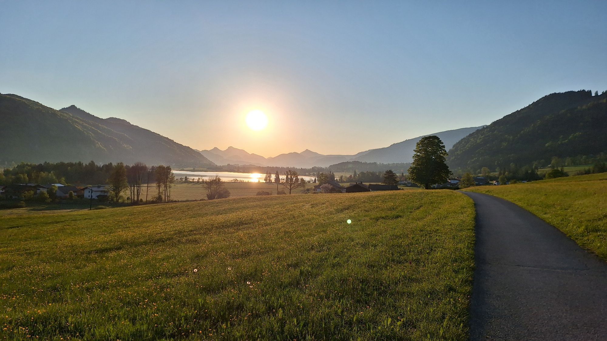
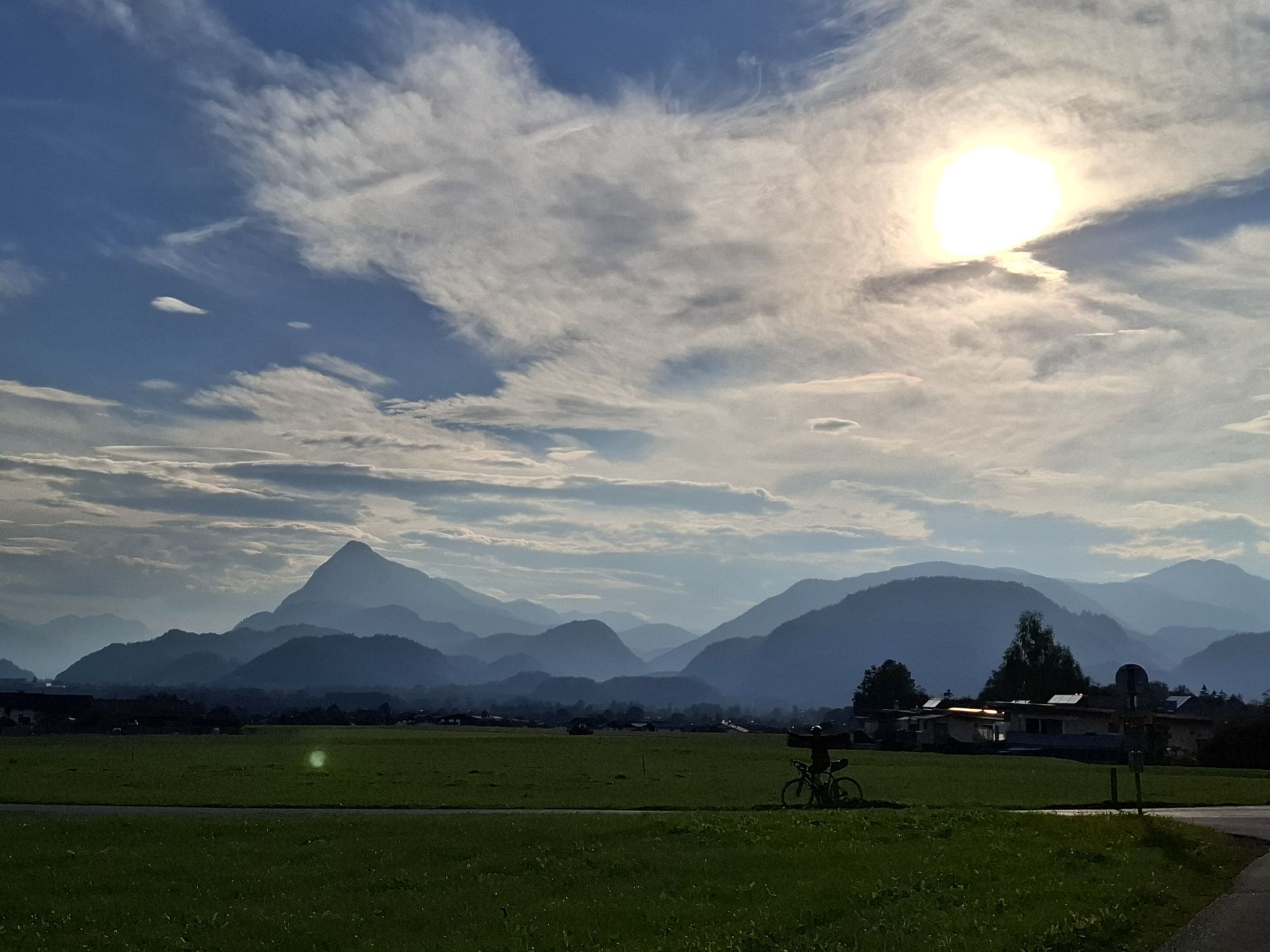
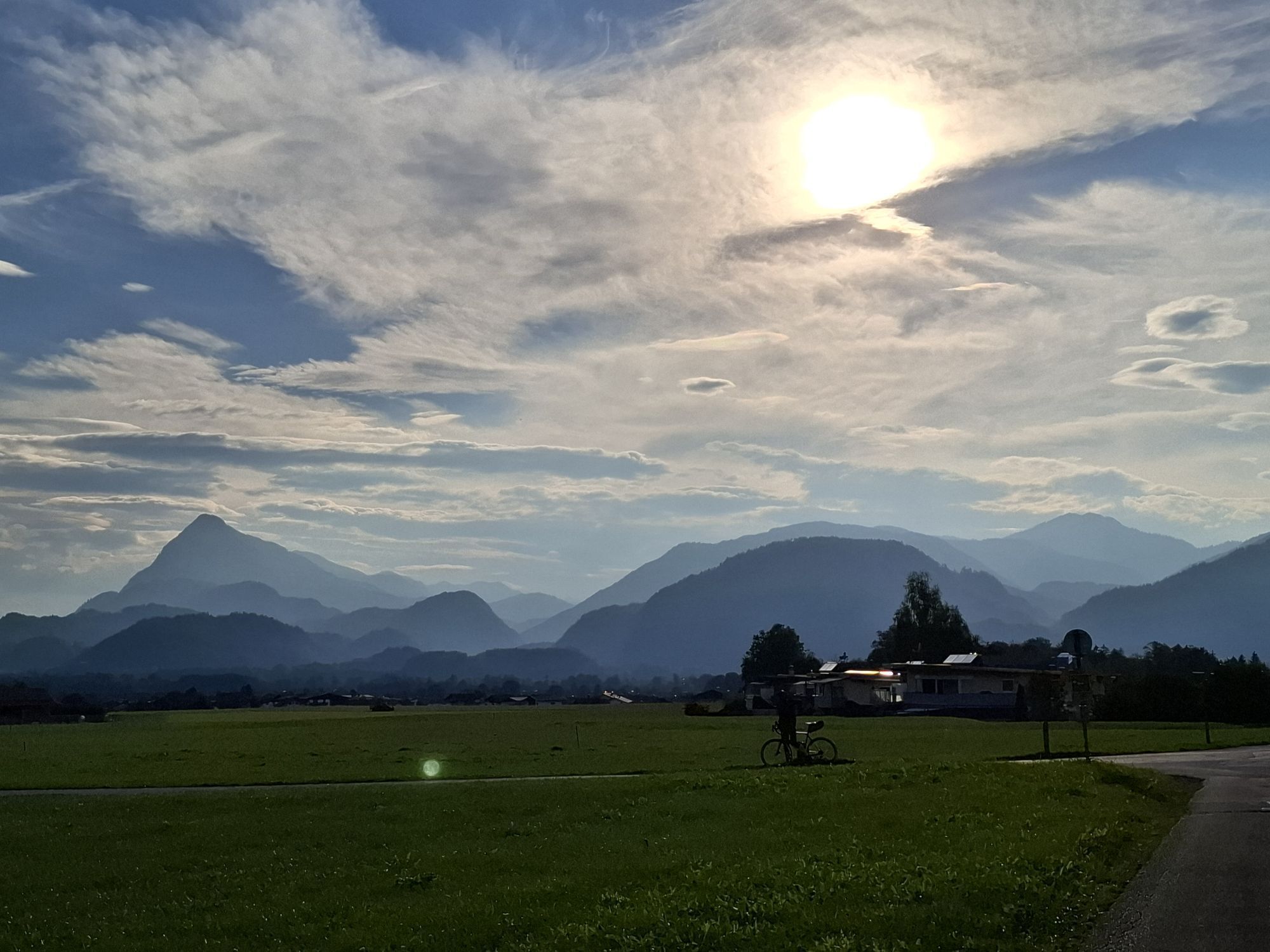
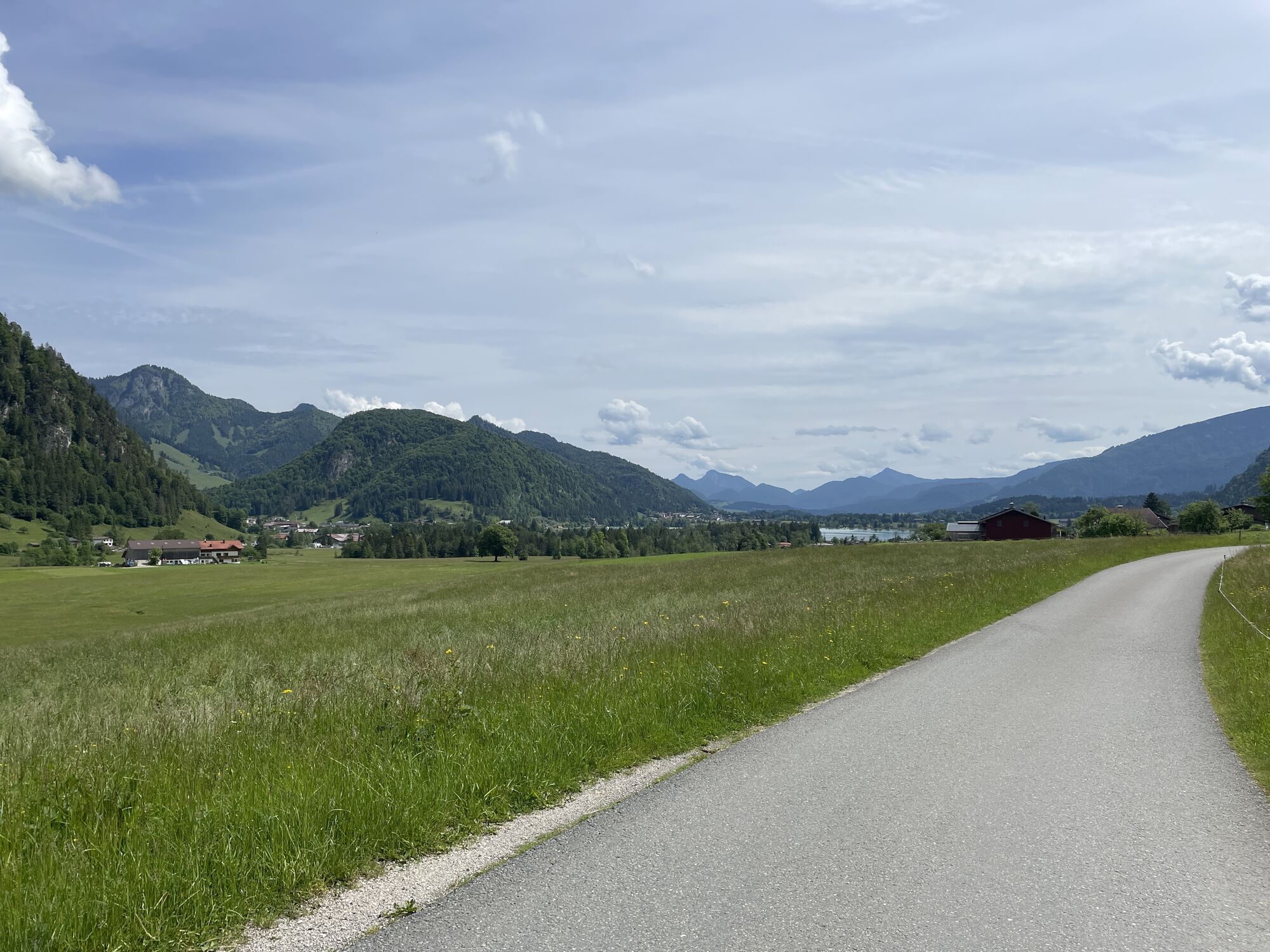
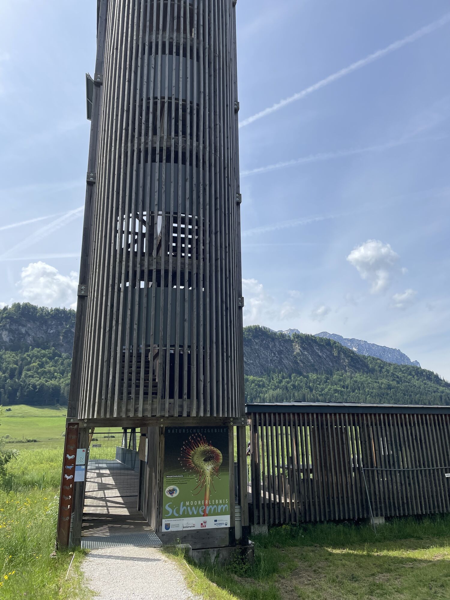
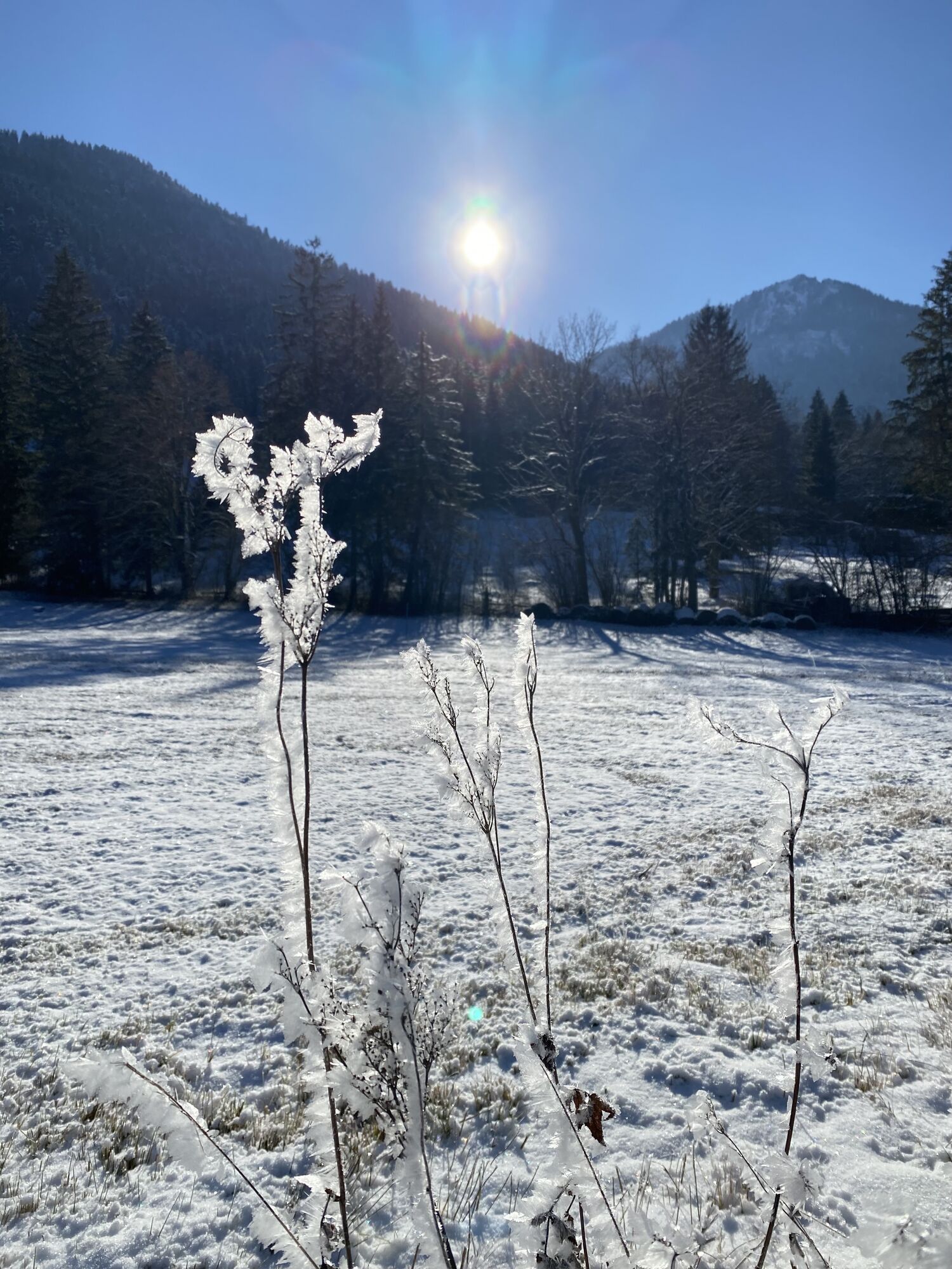

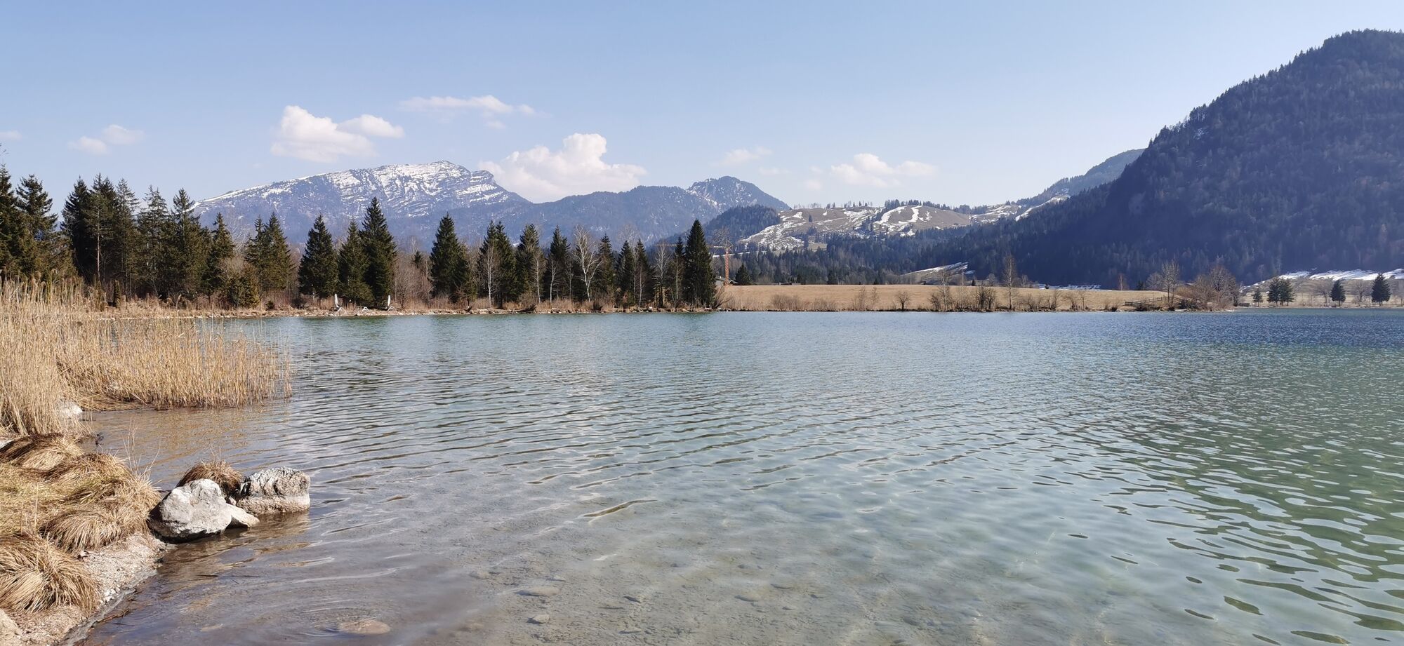
For this extension, plan in about 1.5 hours more time and some additional climbs. Instead of beginning the return leg at Brand, turn to the right and follow the Kaiserwinkl cycle touring route onto Buchberg...
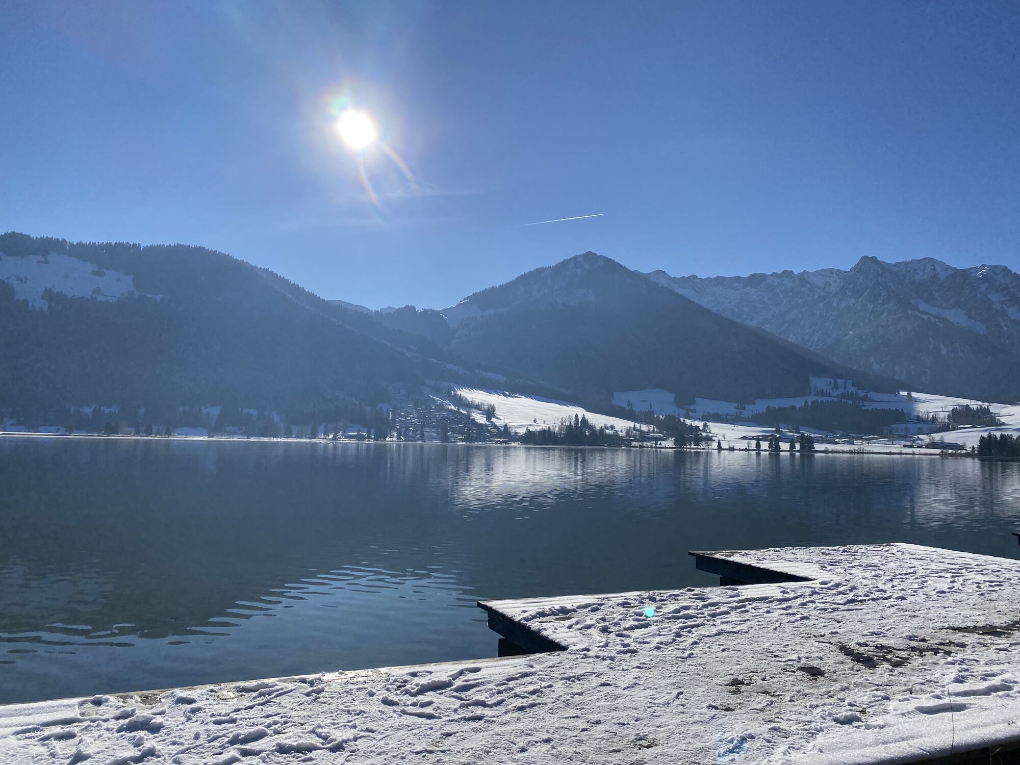
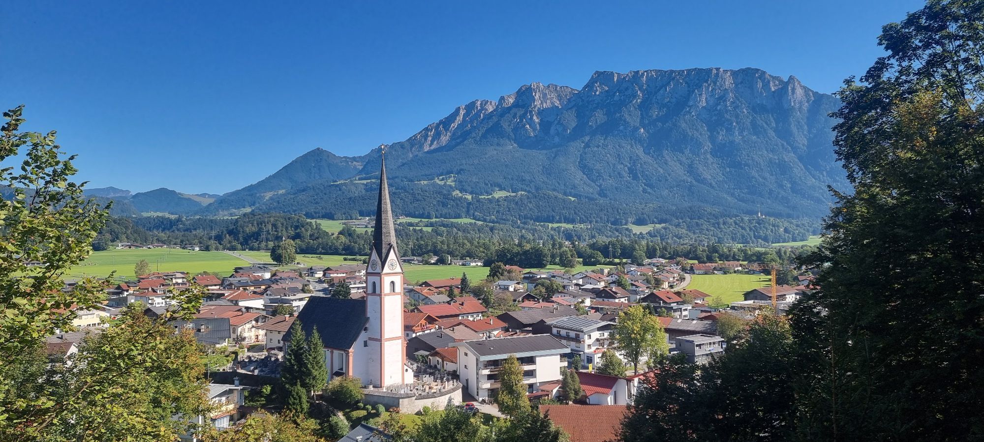
For this extension, plan in about 1.5 hours more time and some additional climbs. Instead of beginning the return leg at Brand, turn to the right and follow the Kaiserwinkl cycle touring route onto Buchberg and Durchholzen. At the Amberglift, turn off to the right and cycle along idyllic trails all the way to beautiful Lake Walchsee. Circling the lake marks the turning point of the route. At Seehotel Brunner, join the main road to the left. It's only a couple of hundred metres until you'll get back onto quieter roads in the centre of Walchsee. The route leads past the Schwemm Moorlands and the Golfclub Walchsee-Moarhof. Further in a western direction, cycle steadily downhill along the Staudinger stream. Not far now, and the extension route rejoins the tour "Enjoyment in the Untere Schranne" again.

Cycling helmet, comfortable cycling clothing, change of clothes, wind protection, cycling gloves, possibly rucksack with water bottle and food, first aid equipment, possibly service/repair kit, cycling map, tour description and information material (GPX track), ID card, insurance card, cash
From the Inntal motorway A12, take the Kufstein Nord exit.
Kufstein main railway station is only a few minutes' walk from the starting point.
Kufstein centre

Webcams del recorrido
-
Hocheck
-
Talstation Hocheck
-
Idealhang
-
Hocheck
-
Hocheck
-
Hocheck
-
Hocheck
-
Walchsee - Camping Seespitz
-
Kufstein - Brentenjoch
-
Pendlinghaus - Kufstein
-
Pendlinghaus - Kufstein
-
Moorgebiet Schwemm
-
Moorgebiet Schwemm
-
Moorgebiet Schwemm
-
Moorgebiet Schwemm
-
Moorgebiet Schwemm
-
Moorgebiet Schwemm
-
Thiersee - Ticklhof
-
Festung Kufstein
Infórmate
Siempre en directo con más de 9.500 webcams. bergfex Como usuario Pro, ahora puede ver las webcams correspondientes a muchos tours en la app de tours desde. Esto le permite ver las condiciones actuales directamente.
Rutas populares en los alrededores
-
5,0
Priener Hütte
medioSenderismo 7,99 km -
4,8
Ellmauer Tor (22.07.2020)
medioSenderismo 9,32 km -
4,7
Musikantensteig zur Naunspitze
medioSenderismo 8,96 km -
5,0
Stripsenjoch Klettersteige/ Rundwanderung von Griesener Alm über Stripsenjochhaus und Feldberg
medioVía ferrata 10,2 km -
4,6
Hintersteinersee
medioSenderismo 9,87 km -
5,0
Schleierwasserfall Runde
medioSenderismo 5,63 km -
4,6
Geigelstein
medioSenderismo 14,5 km -
4,5
Über Hintersteinersee und Walleralm aufs Hochegg
luzSenderismo 12,2 km -
4,5
Wanderung: Spitzstein und Altkaseralm von Sachrang
medioSenderismo 4,03 km -
5,0
Kirchdorf: Stripsenjoch Klettersteige
pesadoVía ferrata 3,76 km
Senderismo y rastreo


No se pierda las ofertas y la inspiración para sus próximas vacaciones
Su dirección de correo electrónico se ha añadido a la lista de correo.





